24th June 2023 - Arnagill Moor and Pott Moor
Walk Details
Distance walked: 12.9 miles
Total ascent: 2053 ft
OS map used: 298 - Nidderdale
Time taken: 6.5 hrs
Route description: Access road to Scar House Reservoir-Thrope Farm-Thrope Edge-Pott Moor High Road-Ouster Bank-Arnagill Moor-Roundhill Reservoir-Pott Moor High Road-Pott Moor-Dale Edge-Thrope Edge-Trapping Hill-Lofthouse-Access road to Scar House Reservoir
For my walk this weekend I decided to head to Nidderdale and do a route taking in the moors on the eastern side of Nidderdale above Lofthouse, and those on the western edge of Lower Wensleydale, above the valley of Pott Beck. I did a walk with a similar route in October 2021 but on that occasion the weather didn't play ball and I ended up spending most of the day under dull and overcast skies with drizzle from time to time. With a forecast of a fine summer's day I thought that I'd head back and take in those moors again, but with a change to the route so that I could take in Arnagill Moor, Roundhill Reservoir, Leighton Reservoir, and so that I would be on Dale Edge and Thrope Edge during the second half of the afternoon during the best of the weather. I set off from near Lofthouse under cloudy skies, but through the morning and into the afternoon it slowly but surely broke up and melted away to give increasing amounts of warm sunshine, with a brisk westerly breeze.
From where I parked at the picnic site on the access road to Scar House Reservoir I walked north along the road until I reached a public footpath on the right, which I took and followed to reach Thrope Farm. I then took the bridleway from Thrope Farm up the hillside to the shooting house on Thrope Edge, then the bridleway east across the moor to reach Pott Moor High Road. After a brief walk up the road I took a track and bridleway on the right and walked east along this beneath Ouster Bank, turning left at a fork, straight on at a junction with another track, and then east across Arnagill Moor. When I reached a track and public footpath on the left just past the top of Arnagill I took this and followed it north down to Roundhill Reservoir (with a stop for lunch on White Lodge Crags), across its dam, and then along the reservoir's access road to Pott Moor High Road. I then had quite a long walk west along this road to reach the track up onto Pott Moor, which I followed west across Pott Moor to the bridleway on Dale Edge above Nidderdale. This bridleway then took me south from Dale Edge to Thrope Edge, and once past the shooting house I went through a gate on the right onto a bridleway down to the road on Trapping Hill. A walk down this road, with a short cut along a footpath down a field, saw me in Lofthouse, and from there a walk along the road towards Middlesmoor, and a walk north along the access road to Scar House Reservoir took me back to where I'd parked my car.
Route map
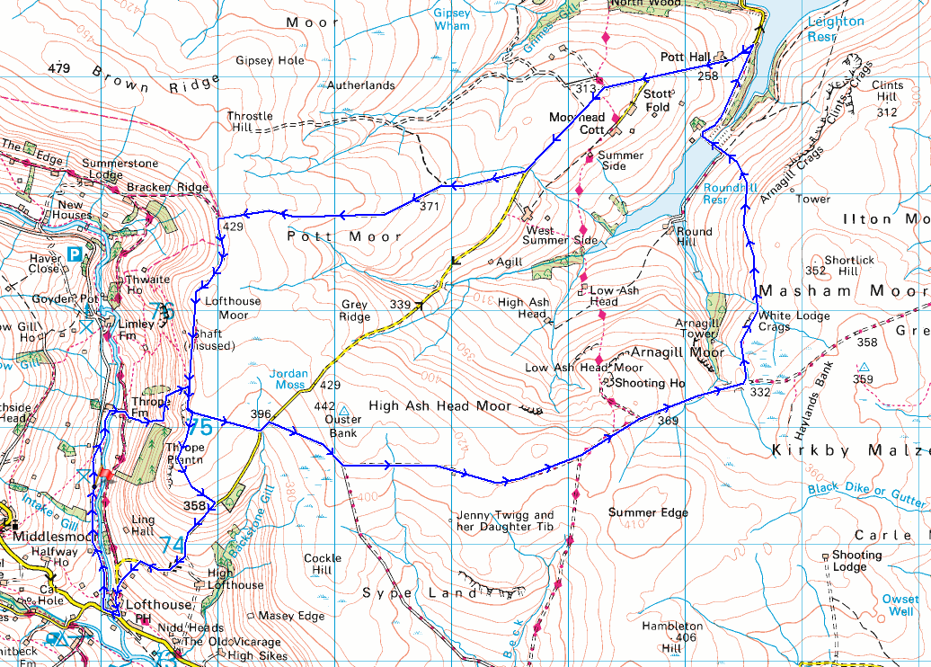
© Crown copyright. All rights reserved. License number PU 100034184.
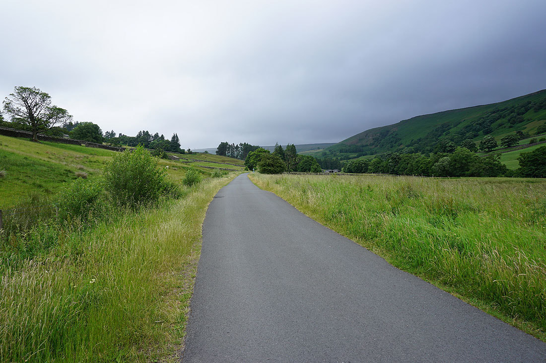
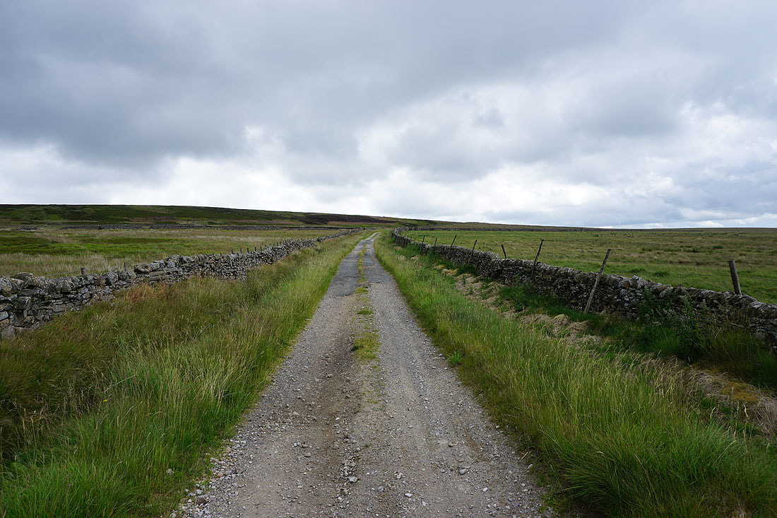
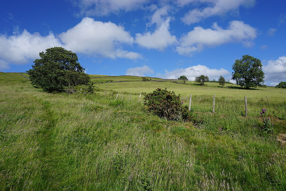
Setting off, I walk north along the reservoir access road to pick up the footpath to Thrope Farm
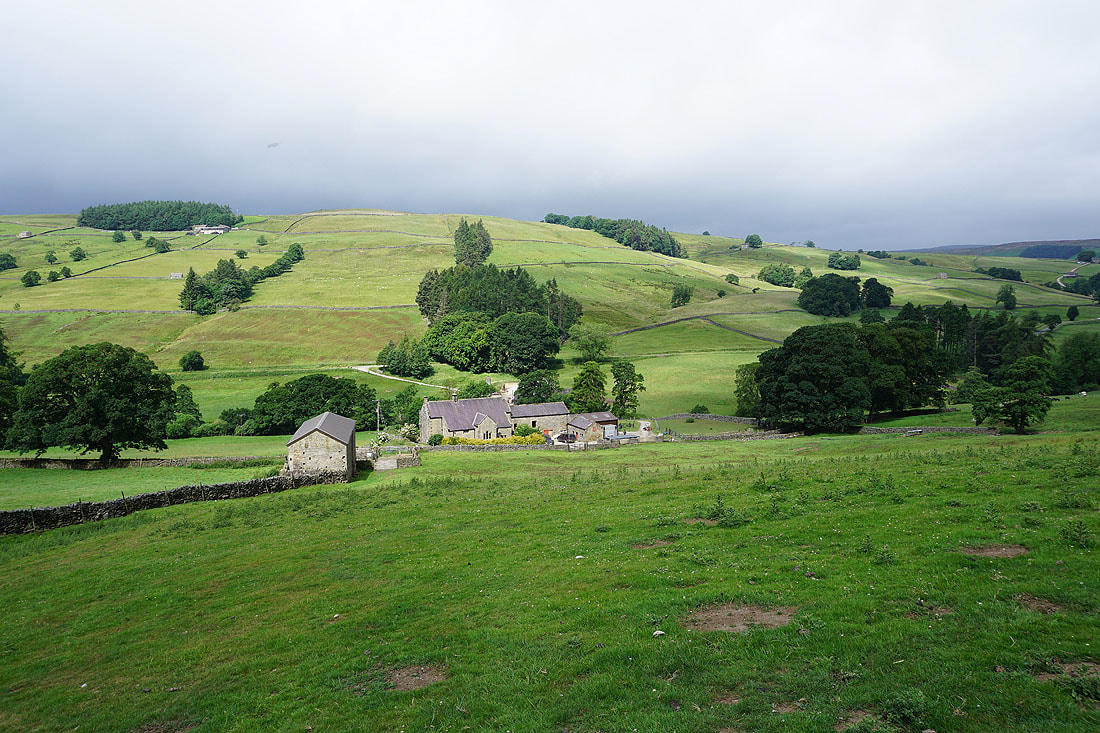
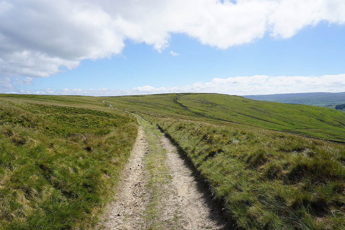
Thrope Farm below as I take the bridleway up to Thrope Edge
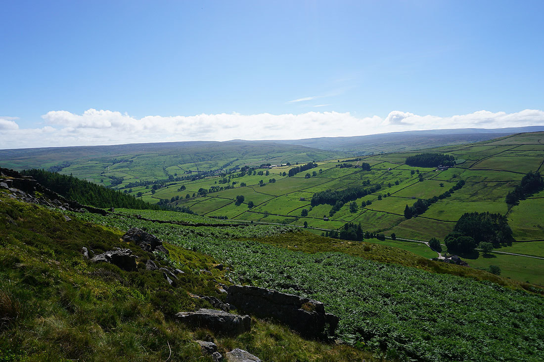
Looking down Nidderdale to Ramsgill Moor
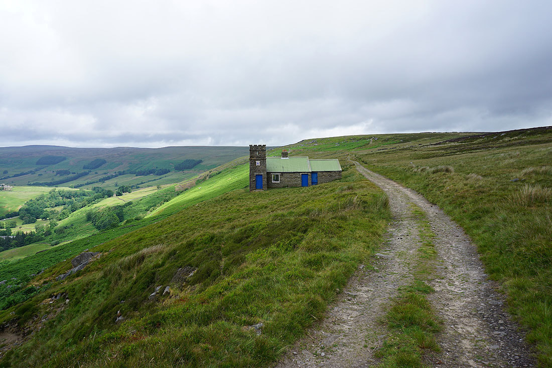
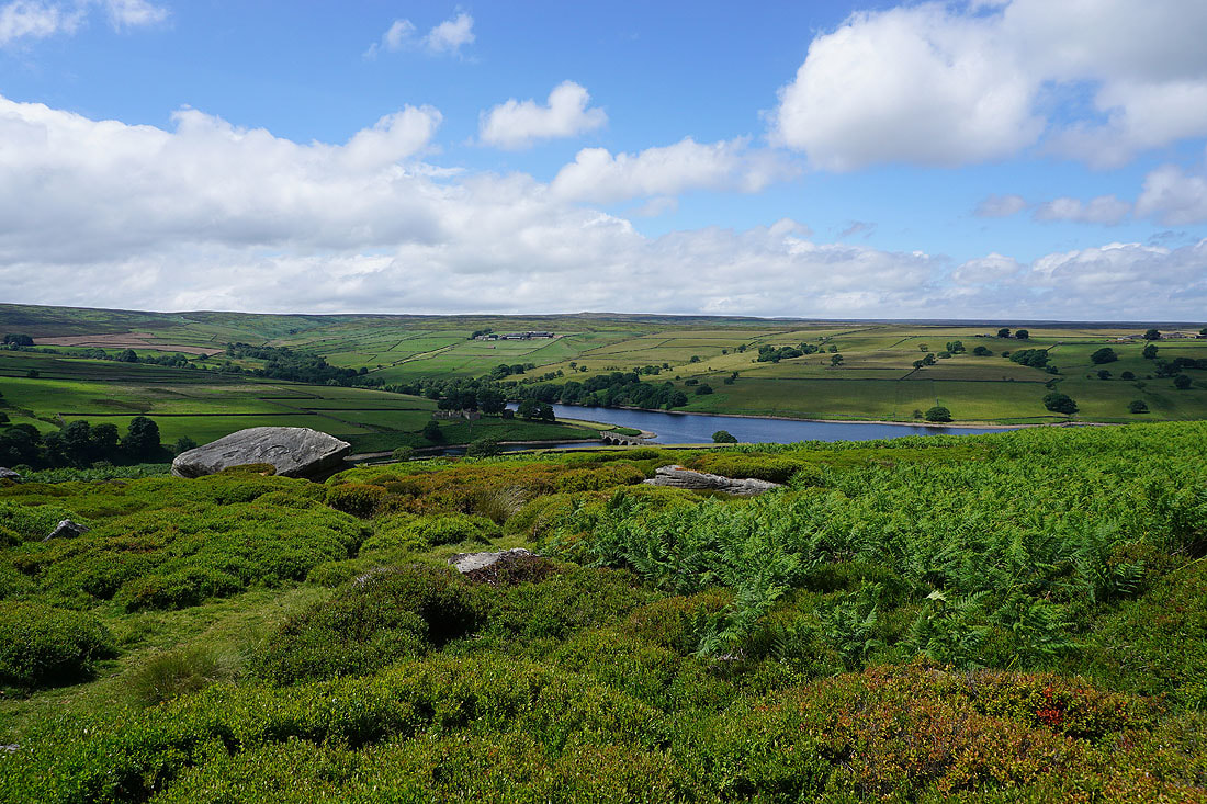
The Shooting House on Thrope Edge. I'll be back here later in the day.
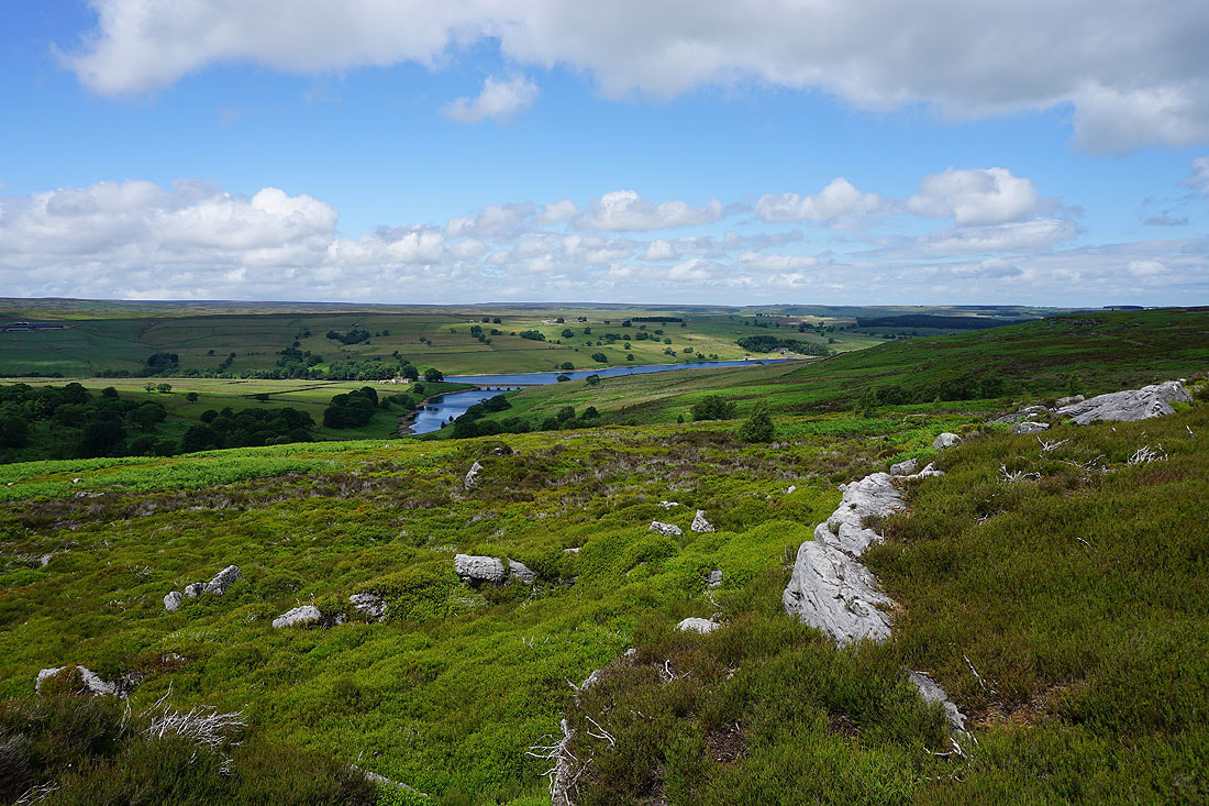
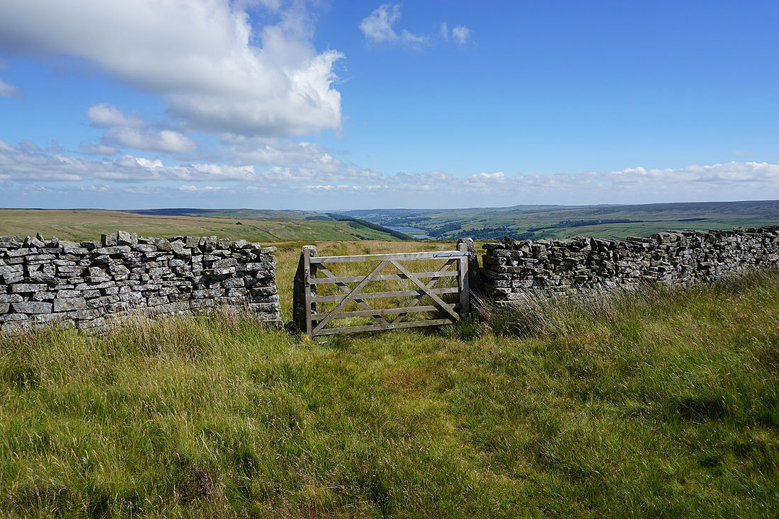
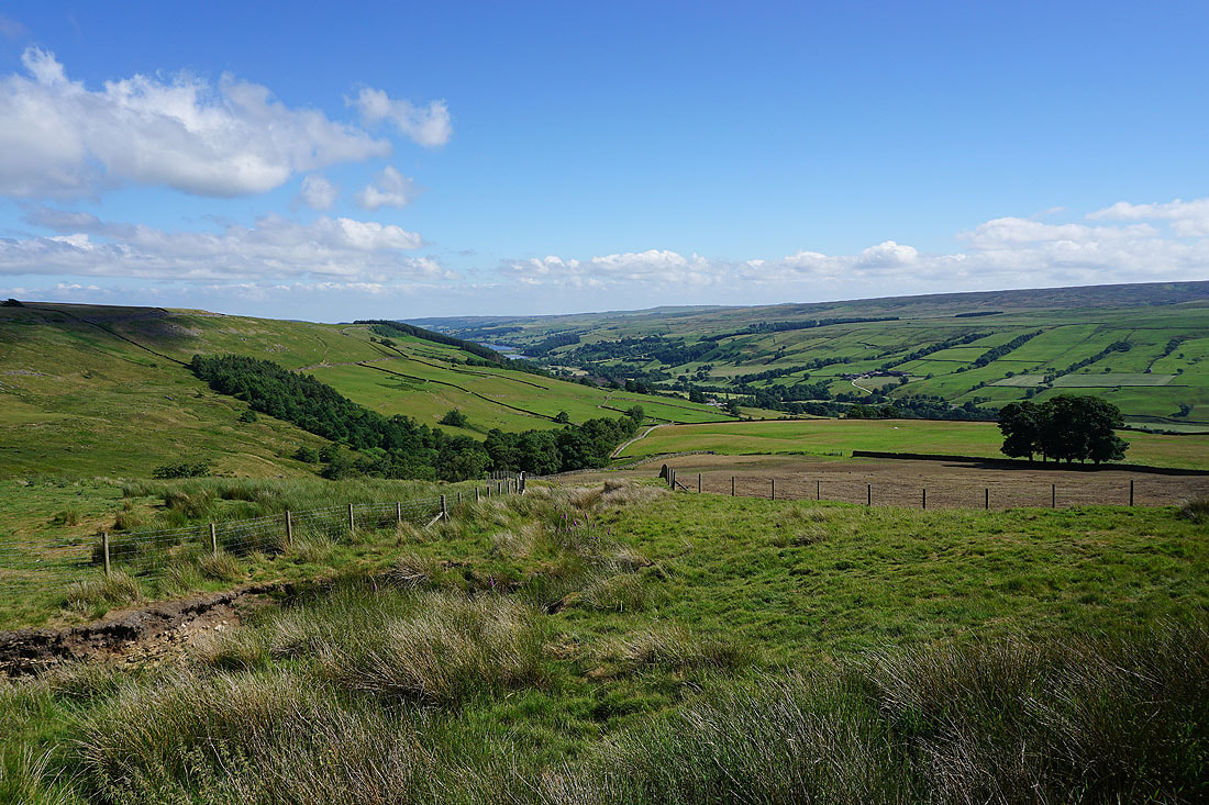
The view across Nidderdale from Thrope Edge..
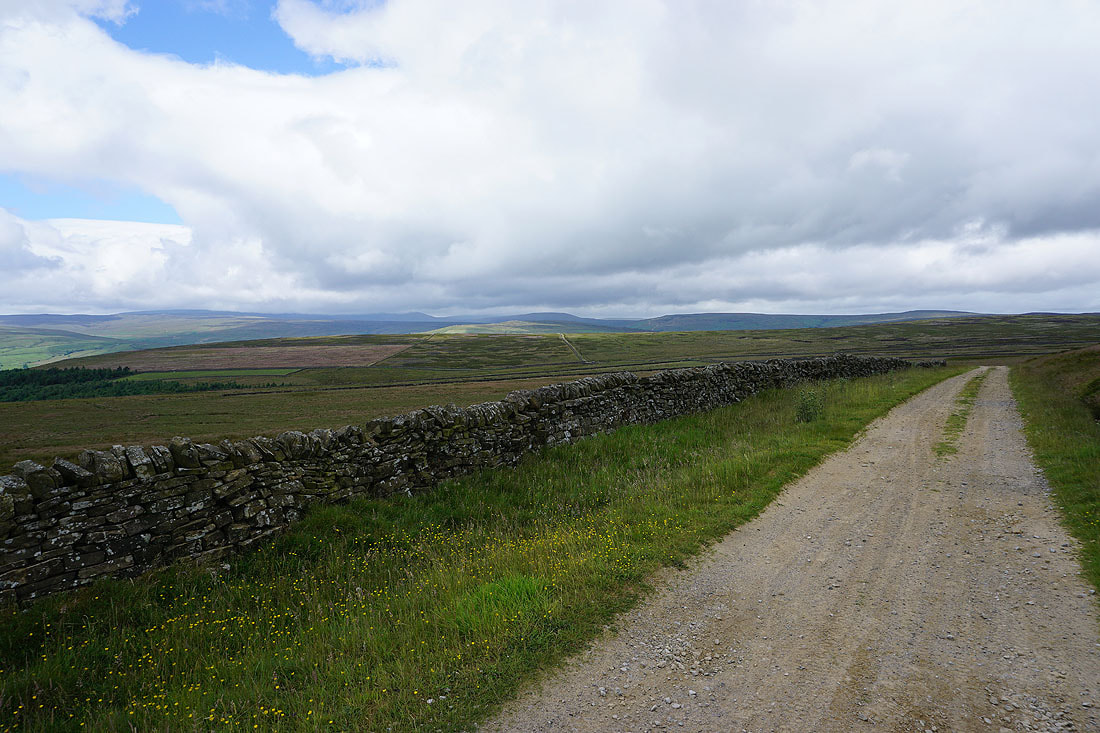
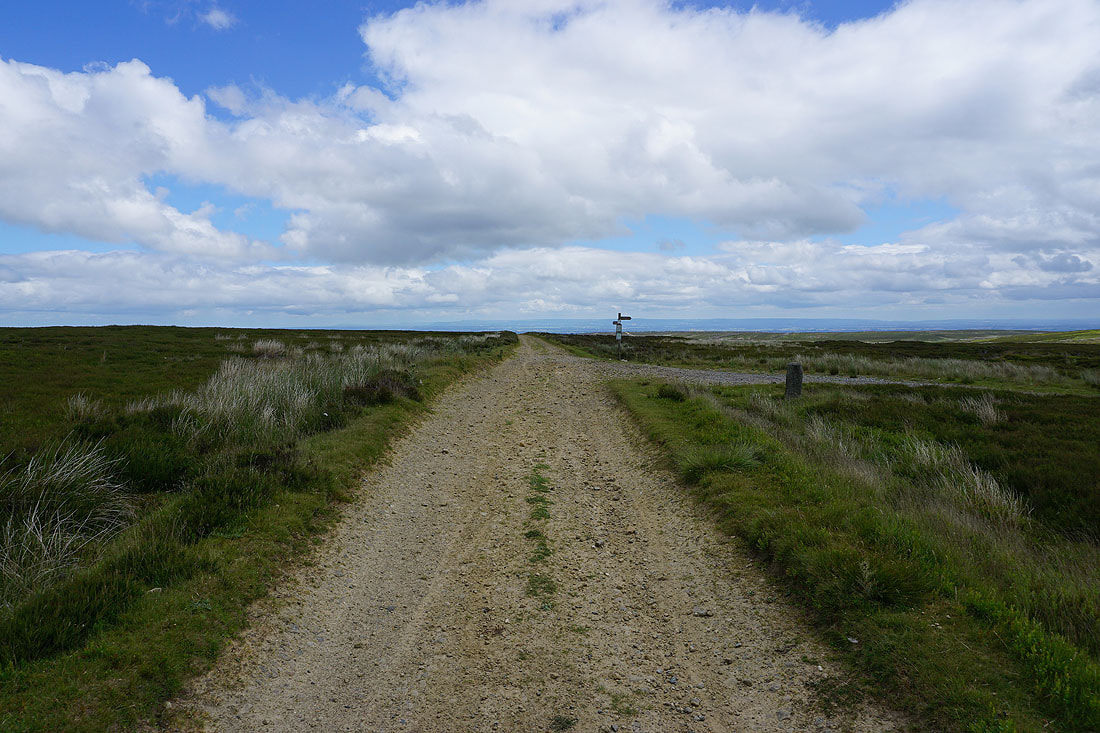
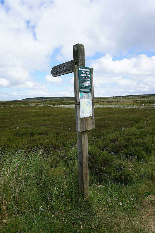
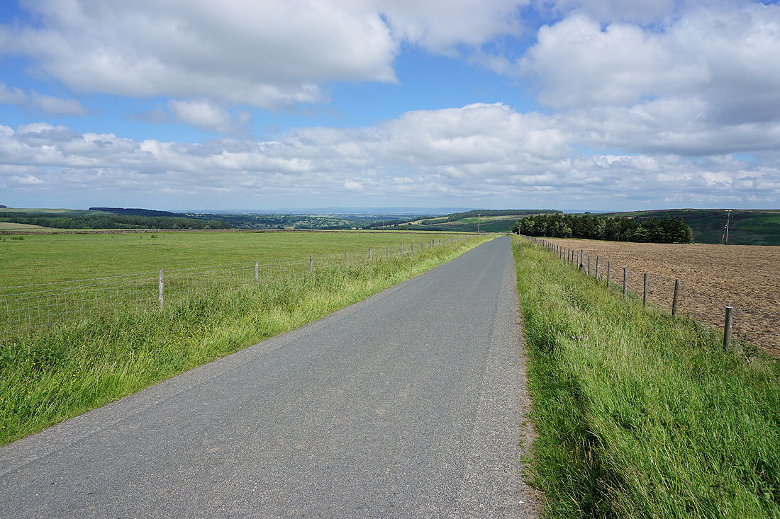
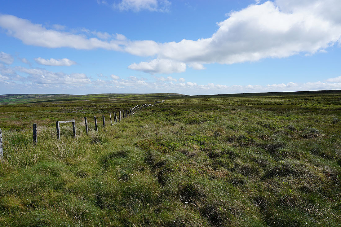
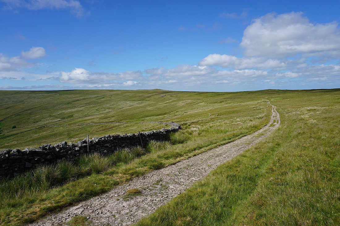
Leaving Thrope Edge I take the bridleway east to Pott Moor High Road
Across the road and on the bridleway beneath Ouster Bank
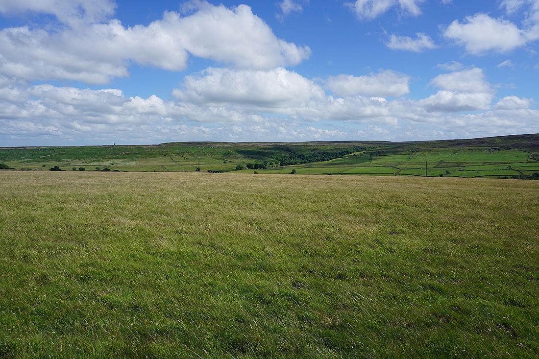
Looking back to the moorland around the head of Nidderdale in the distance
and across to the moorland bump of Meugher and a cloud topped Great Whernside
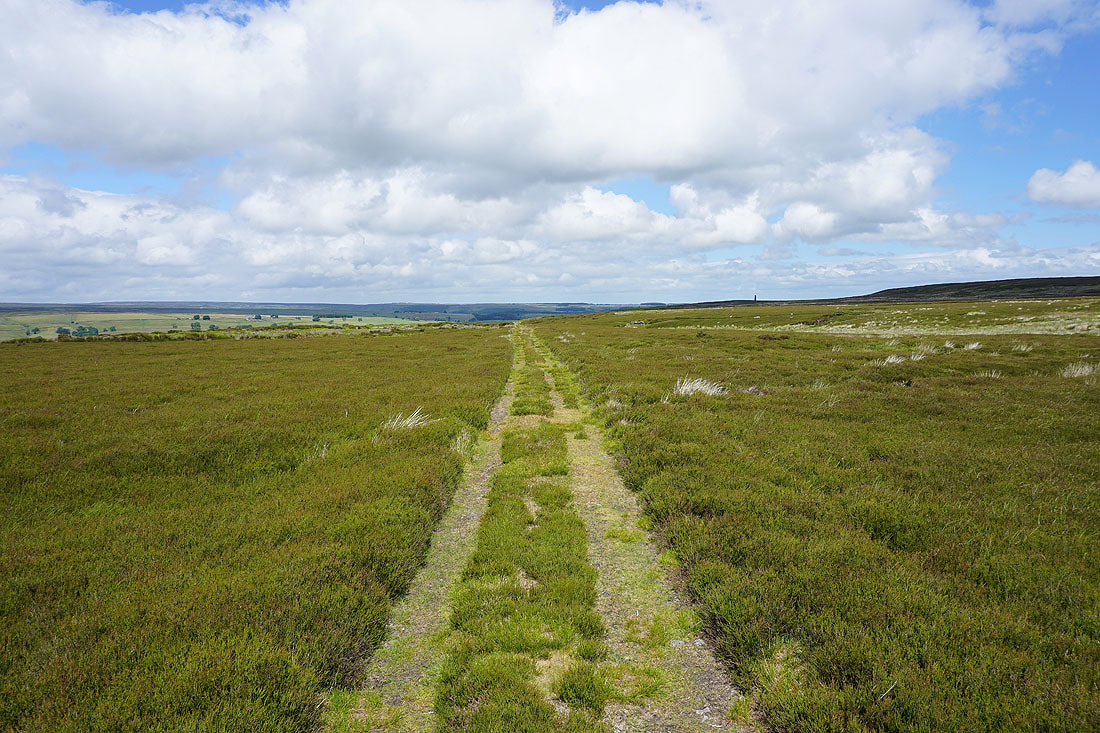
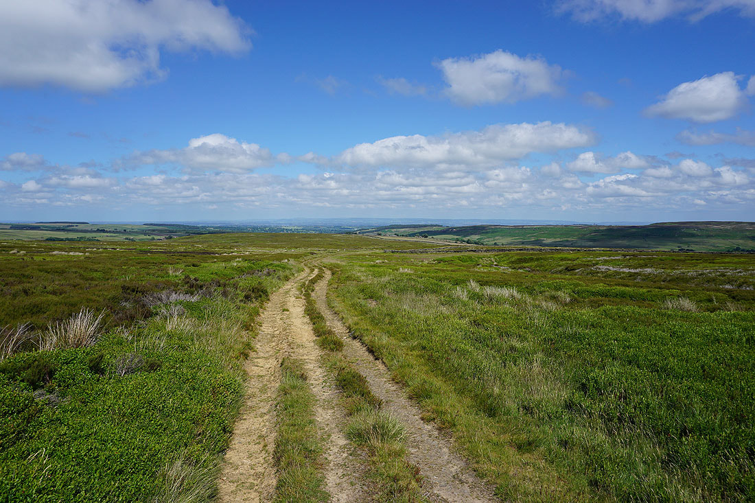
Heading east along the bridleway..
and then east across Arnagill Moor, with the North York Moors in the far distance
Passing Combs Crags on Low Ash Head Moor
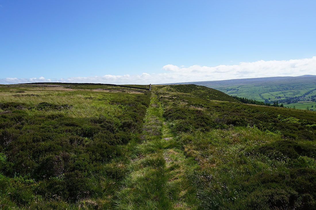
Crossing Arnagill Moor
Taking the footpath to Roundhill Reservoir..
To my left, the wooded and crag fringed Arnagill..
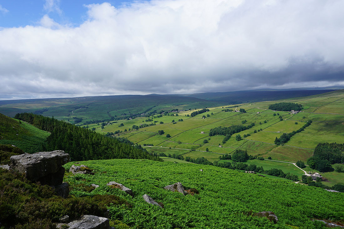
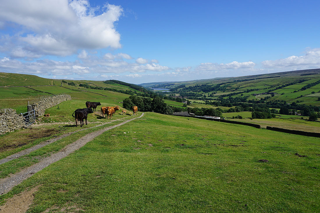
A view across Roundhill Reservoir from my lunch stop on White Lodge Crags
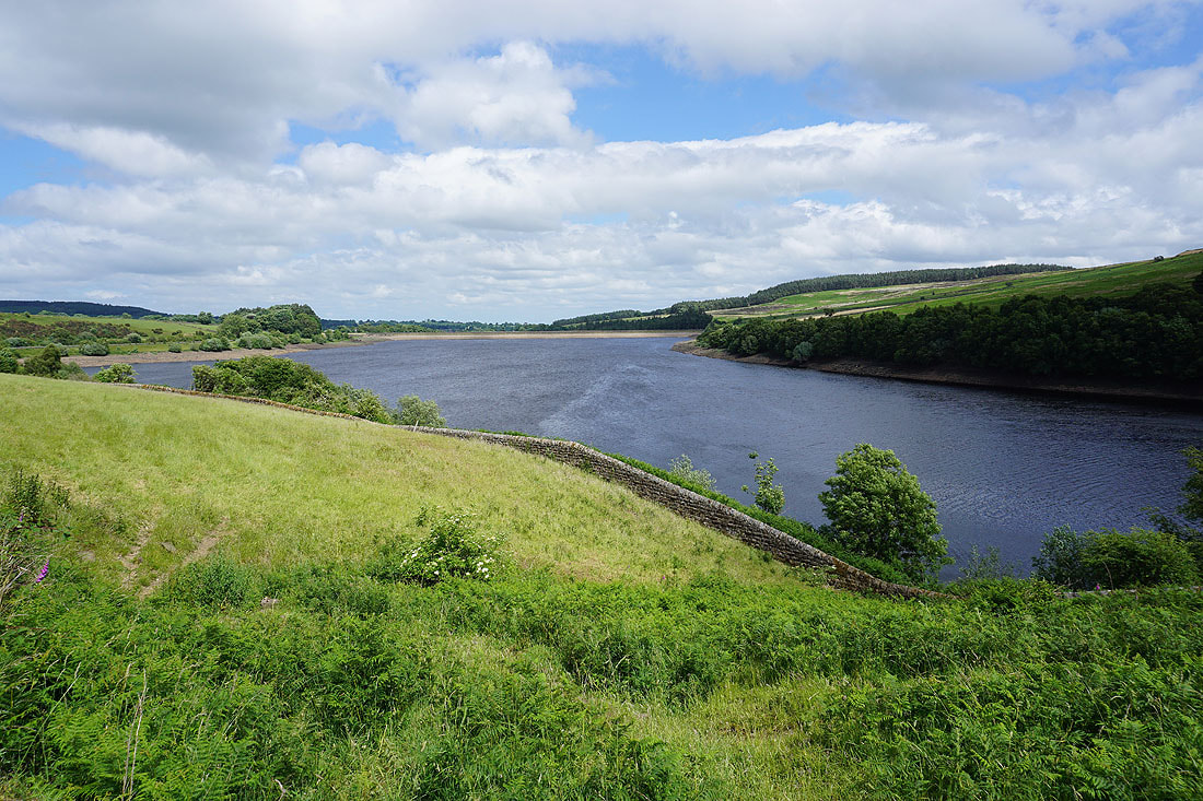
Pott Moor and Roundhill Reservoir..
..and Leighton Reservoir ahead as I follow the path down to Roundhill Reservoir..
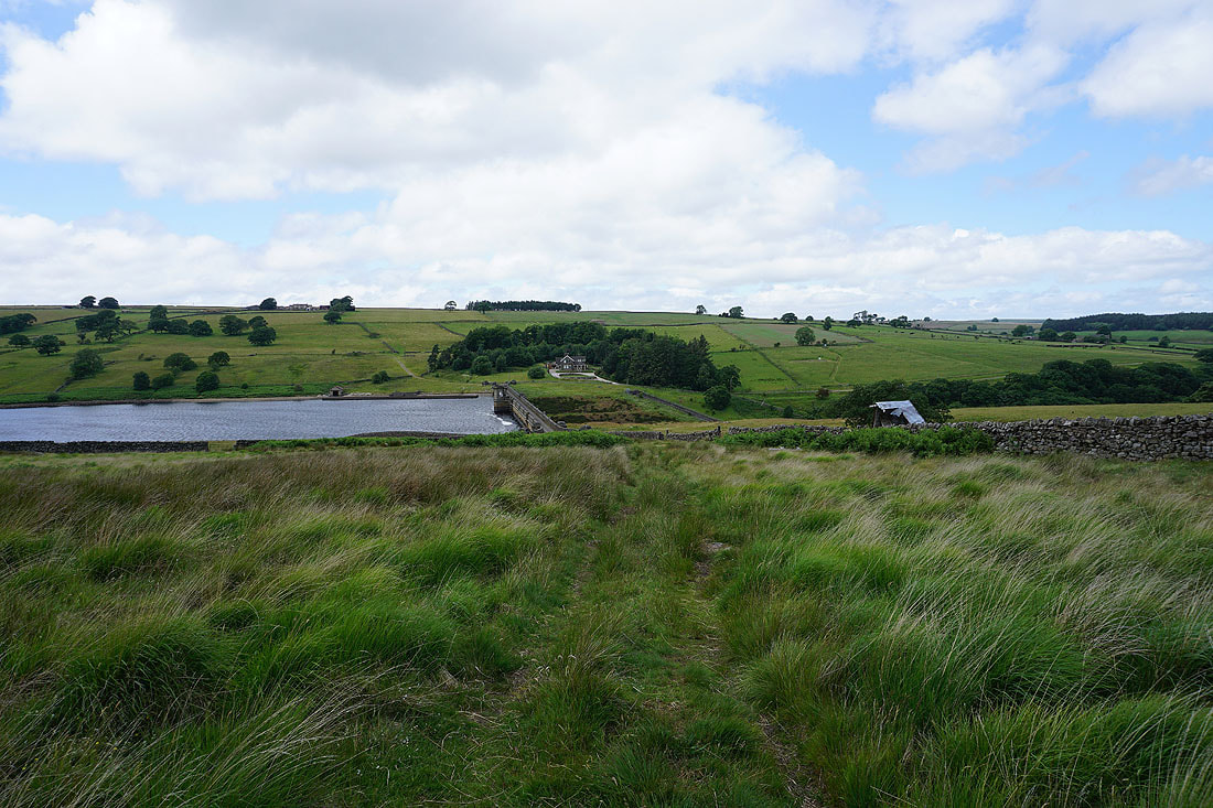
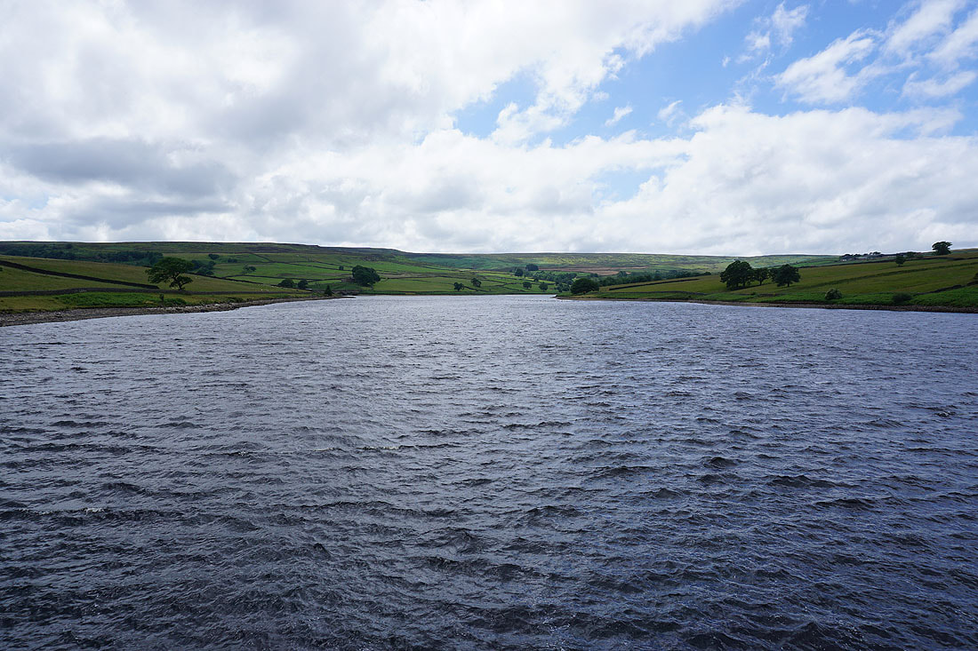
Roundhill Reservoir from its dam
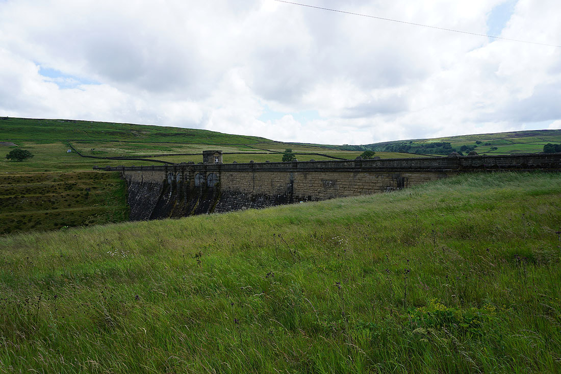
The dam of Roundhill Reservoir
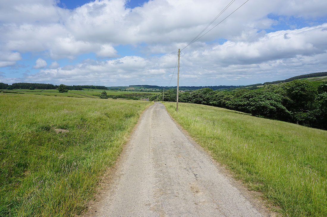
From Roundhill Reservoir I follow its access road out to Pott Moor High Road
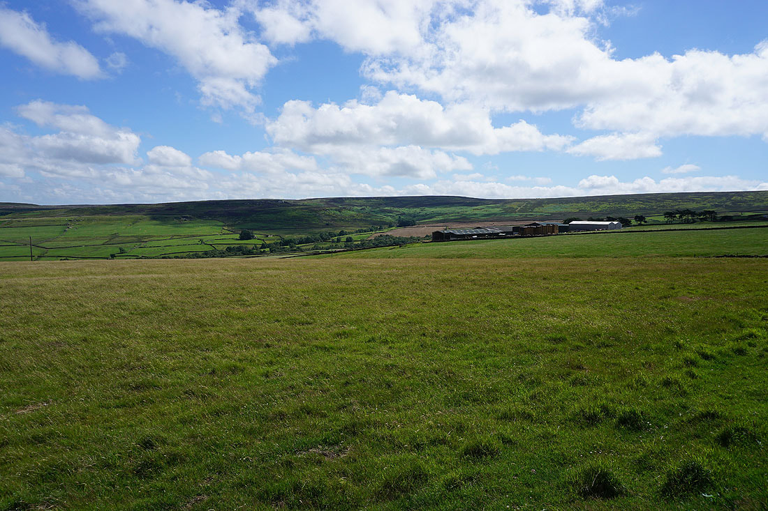
Leighton Reservoir from Pott Moor High Road
Looking back east as I walk up Pott Moor High Road
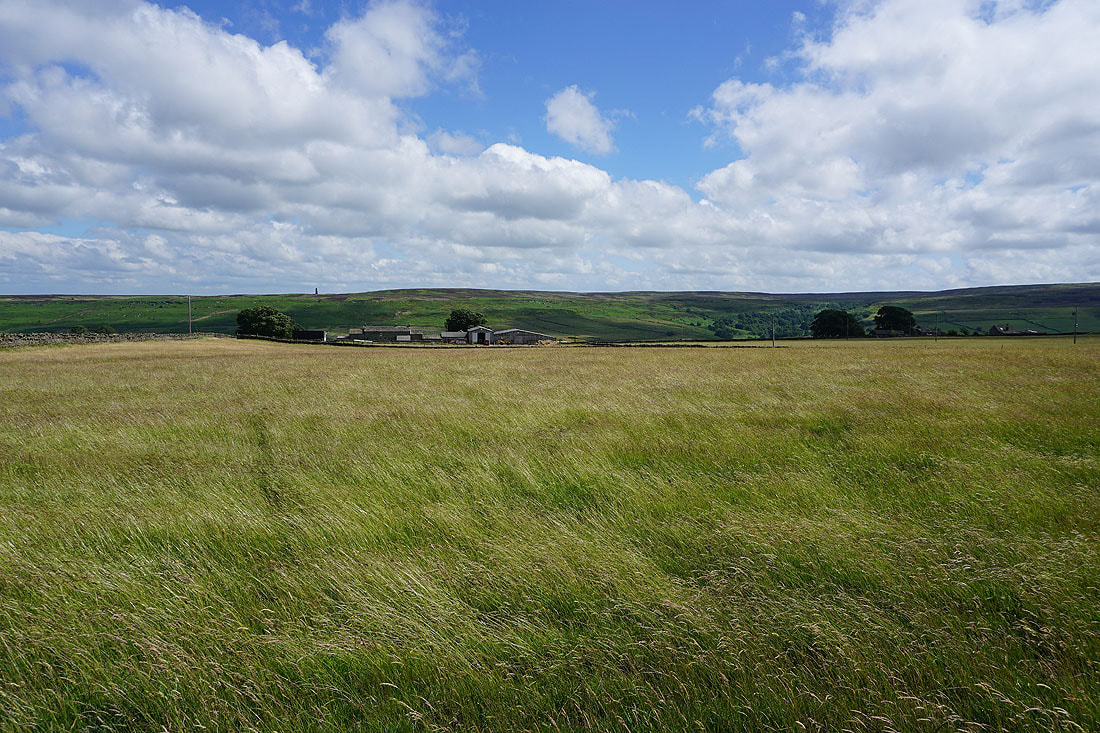
To the north, the moorland around Colsterdale
and to the south, Arnagill Moor
Walking up Pott Moor High Road
Arnagill Moor and High Ash Head Moor to my left..
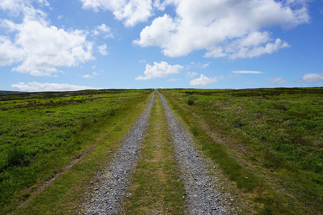
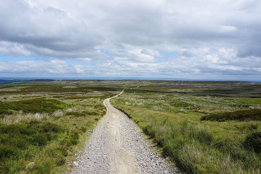
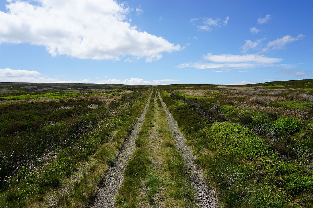
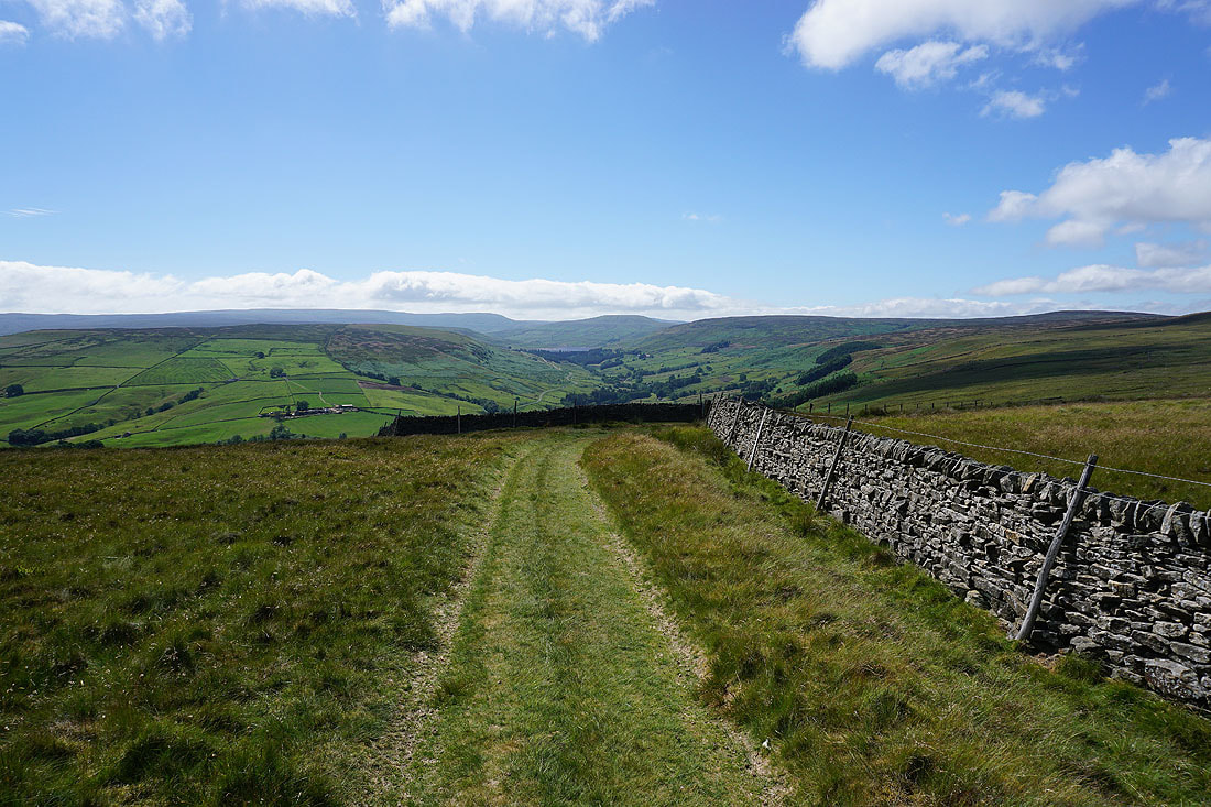
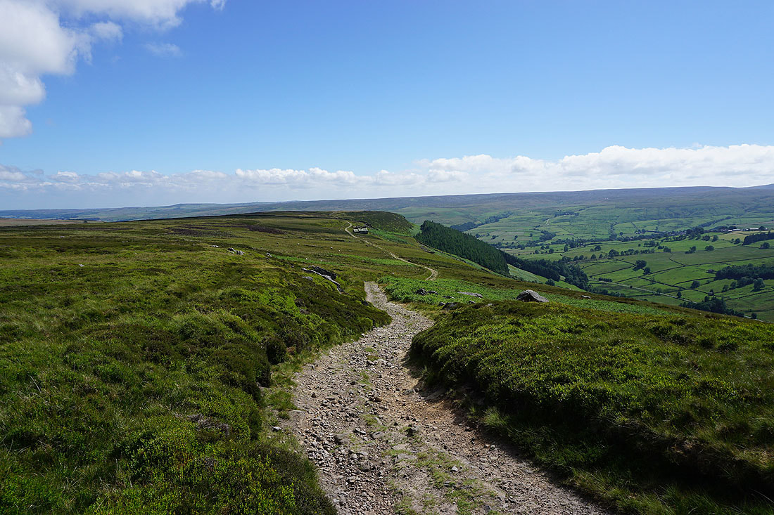
Leaving Pott Moor High Road I take the track up Pott Moor
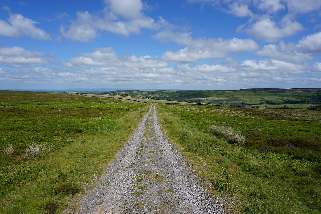
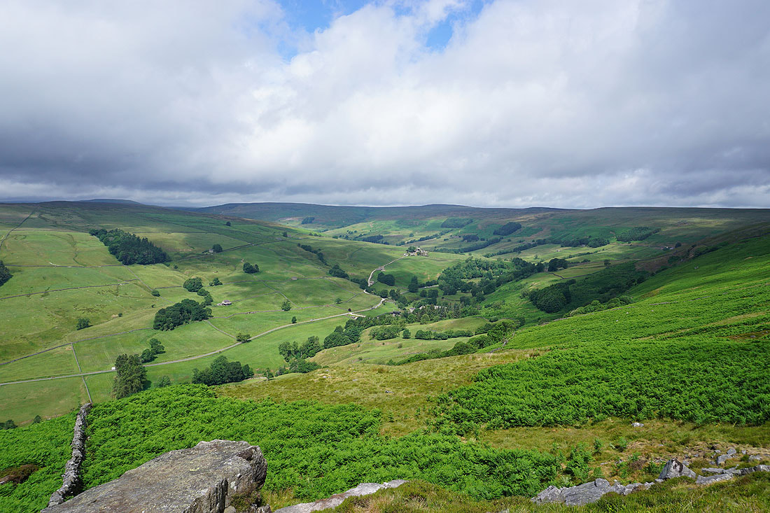
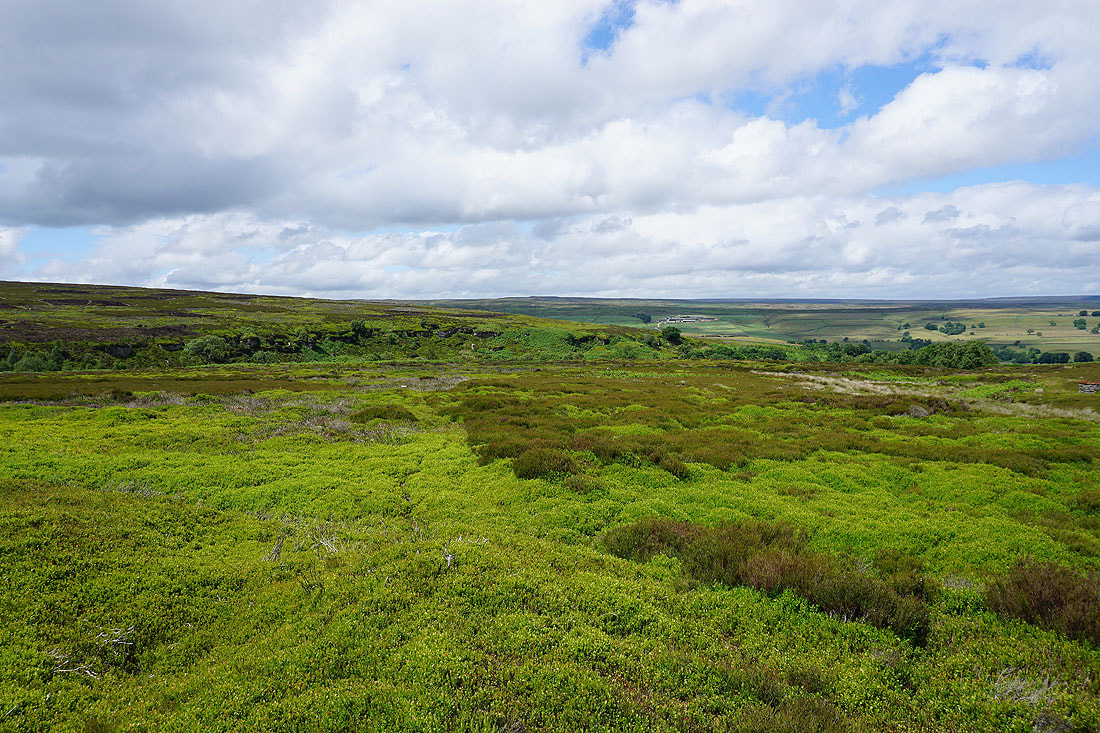
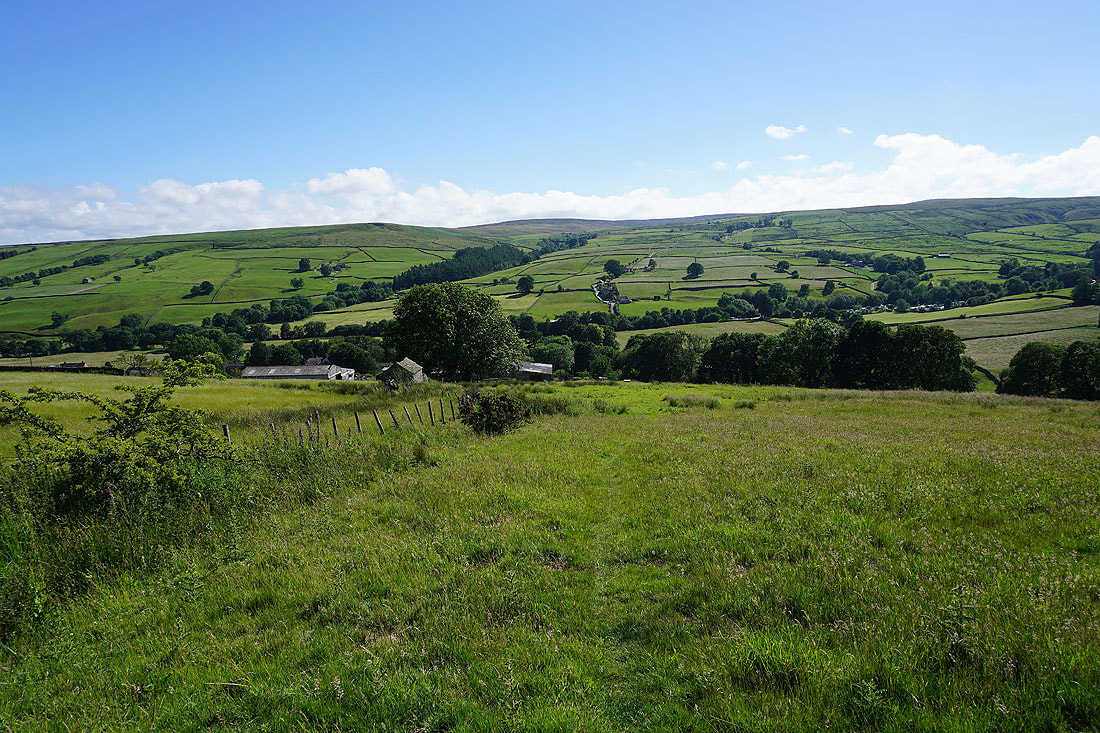
Great views as I look back down the track to the valley of Pott Beck, with the North York Moors in the far distance..
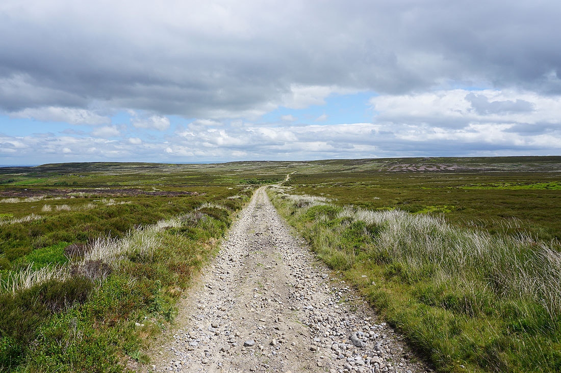
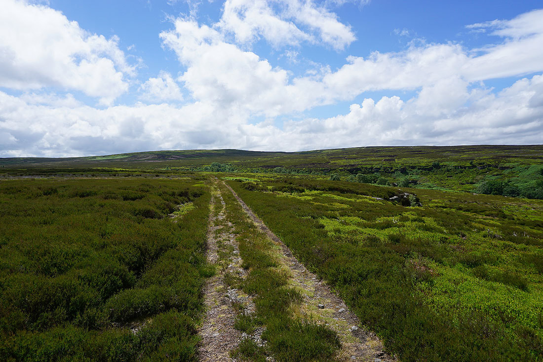
Crossing Pott Moor..
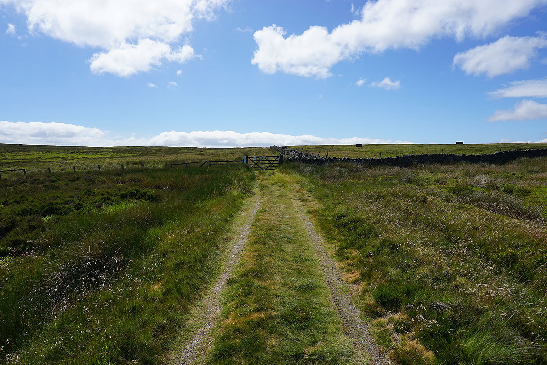
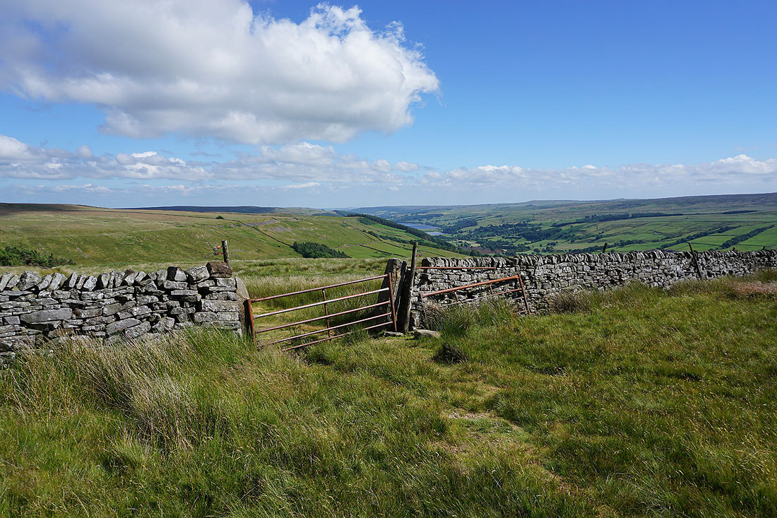
I reach the gate at the top of the track, and before I pass through a look north along the moorland wall to Throstle Hill on Masham Moor
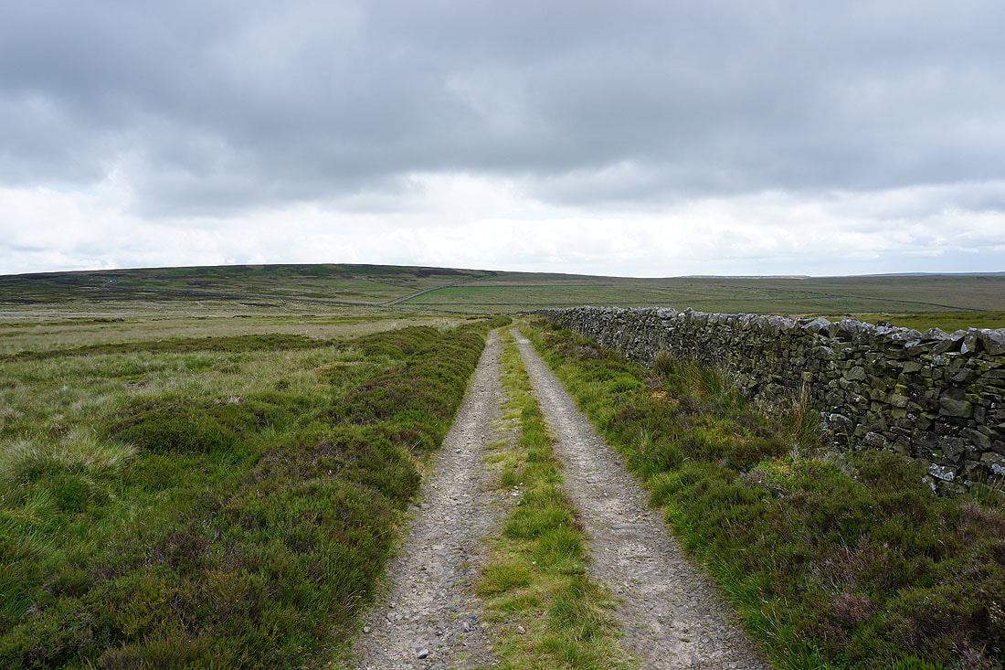
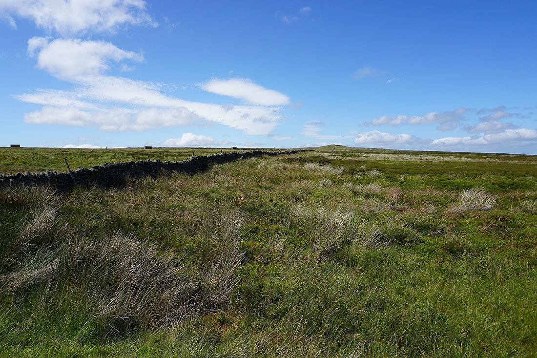
On the other side of the gate and a fence heads south towards Ouster Bank
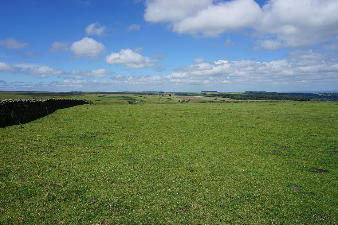
Looking back across Pott Moor
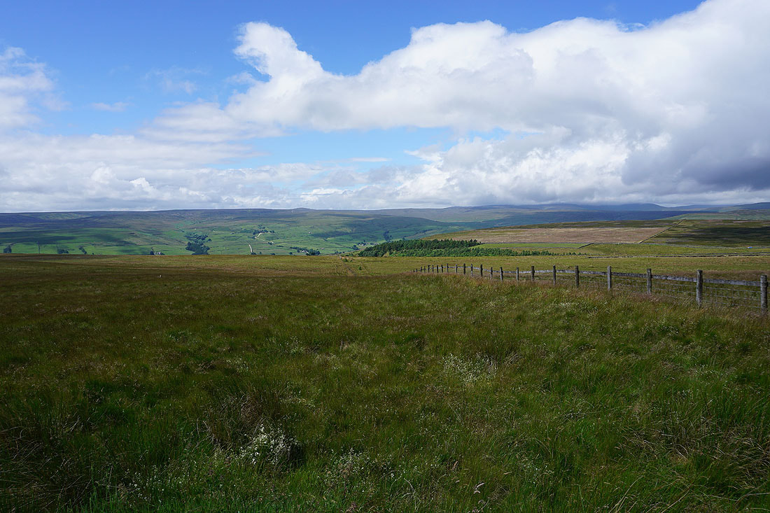
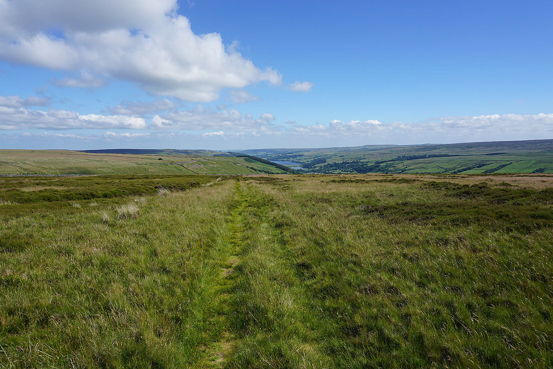
As I cross the top of the moor the view towards the head of Nidderdale appears. I've got the best weather of the day for the best views.
On Dale Edge. In Moor, Great Whernside, Little Whernside and Carle Fell around the head of Nidderdale.
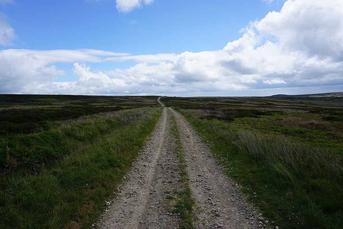
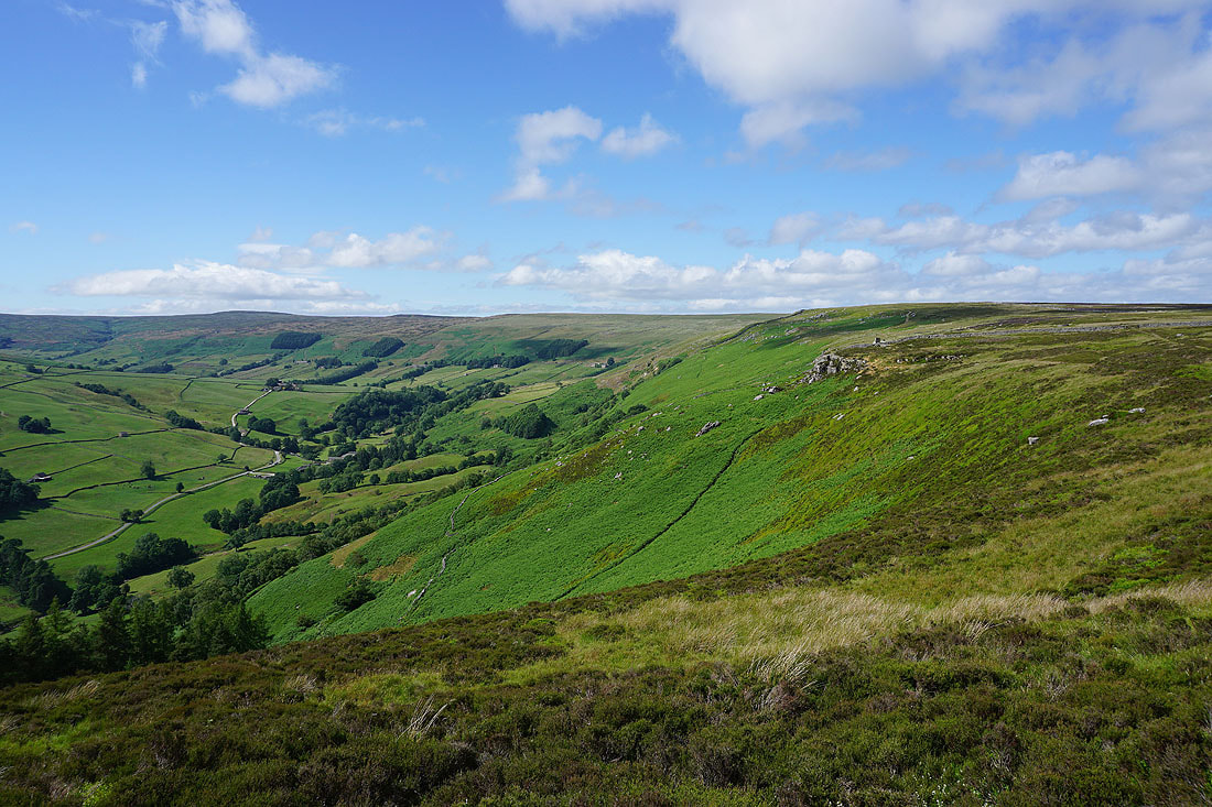
Heading south along the bridleway from Dale Edge to Thrope Edge
Looking back north along Dale Edge
The shooting house on Thrope Edge appears as I follow the bridleway south
The view across Nidderdale from Thrope Edge..
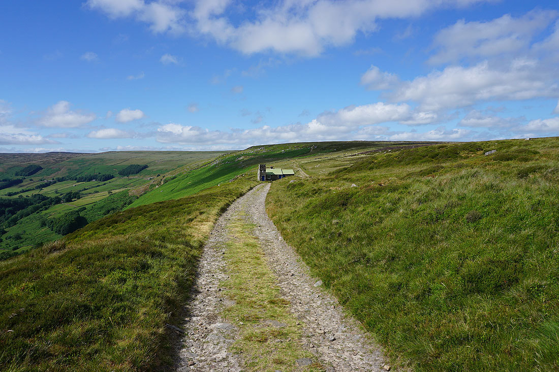
The Shooting House on Thrope Edge
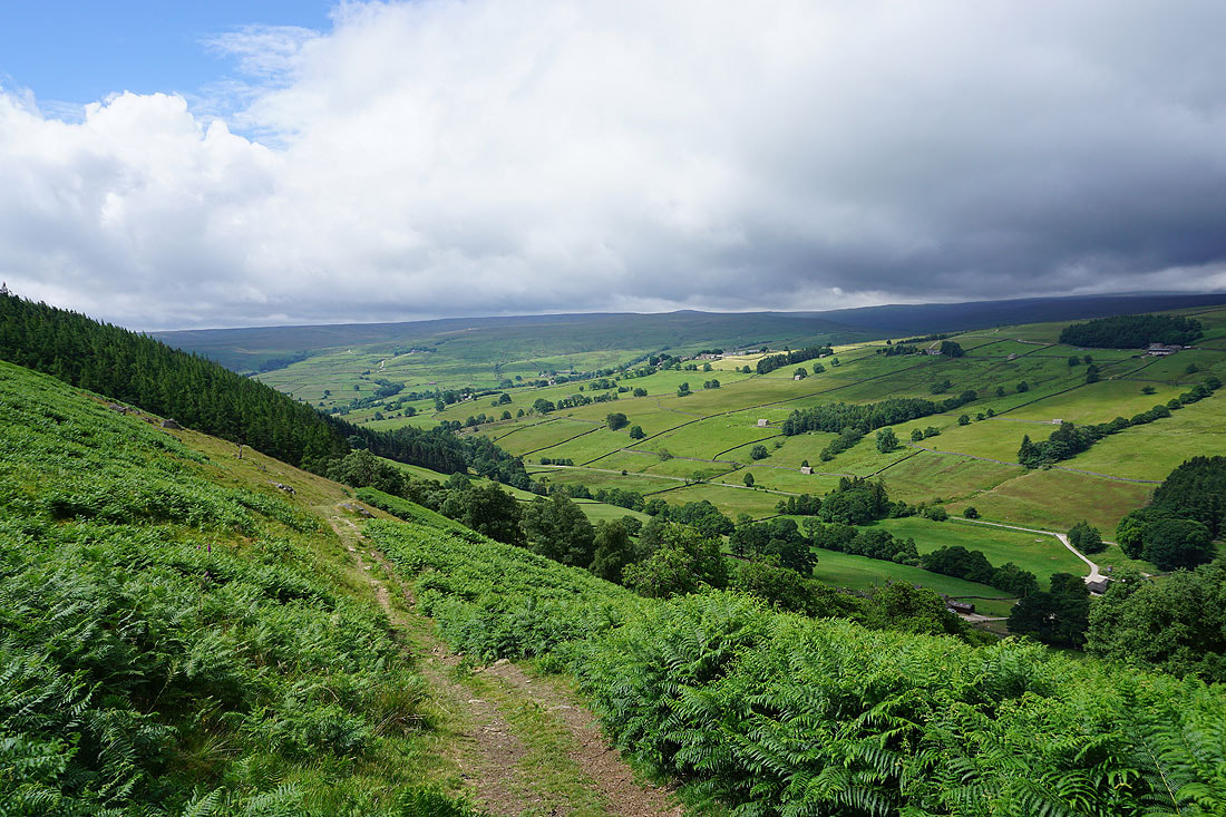
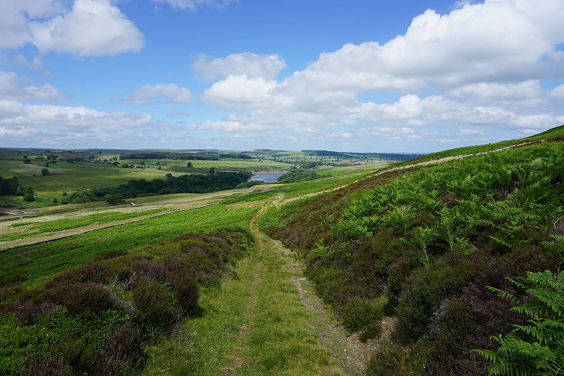
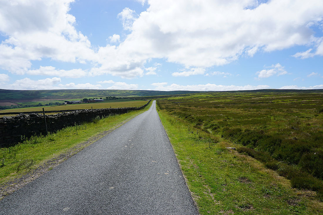
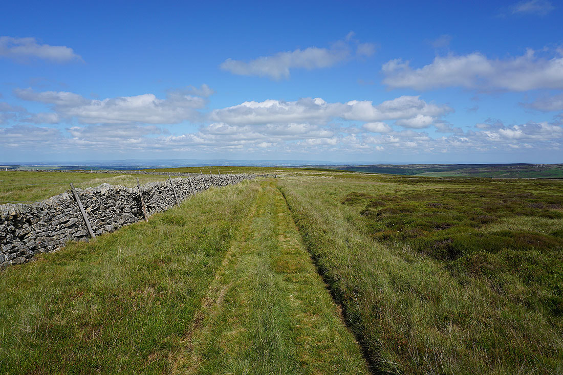
From Thrope Edge I take the bridleway down to Trapping Hill
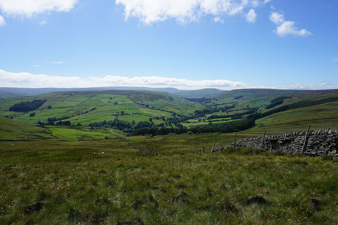
Looking north up Nidderdale to South Haw, Dale Edge, and Thrope Edge
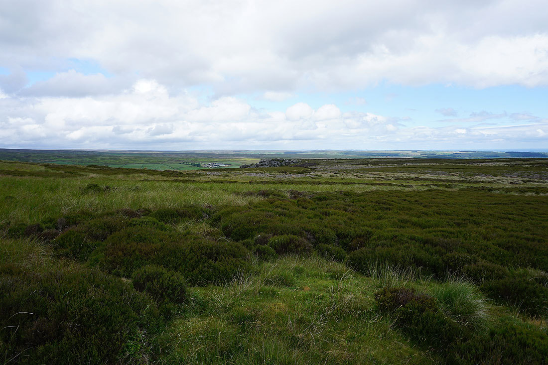
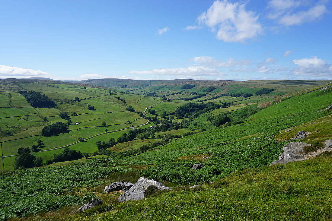
Great views down Nidderdale to Gouthwaite Reservoir and to Fountains Earth Moor as I follow the bridleway down to Trapping Hill...
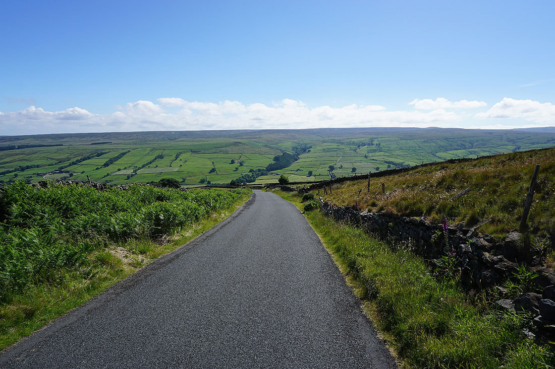
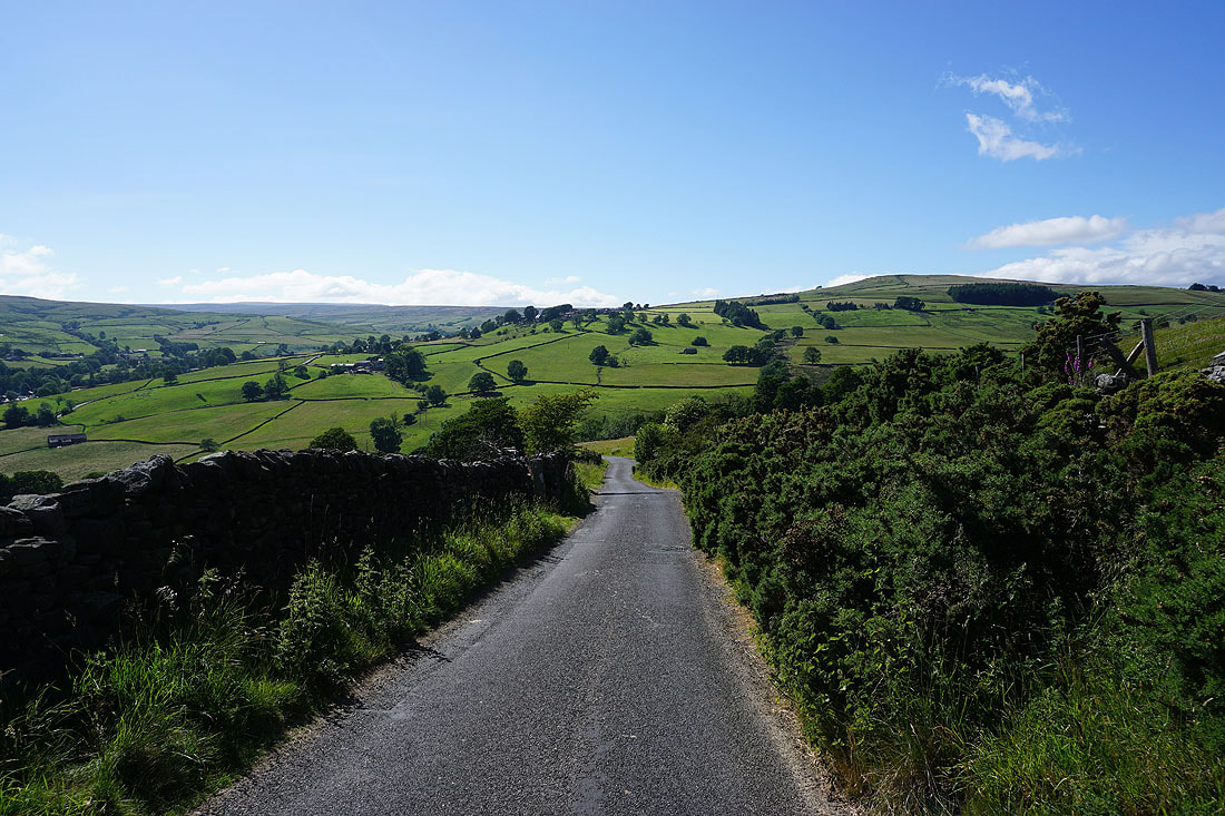
Walking down the road of Trapping Hill with Raygill House Moor and Ramsgill Moor on the other side of Nidderdale
To my left, a view down Nidderdale to Gouthwaite Reservoir opens up..
The village of Middlesmoor sits on the opposite hillside
A footpath gets me off the road down to Lofthouse
A lovely end to a summer's afternoon
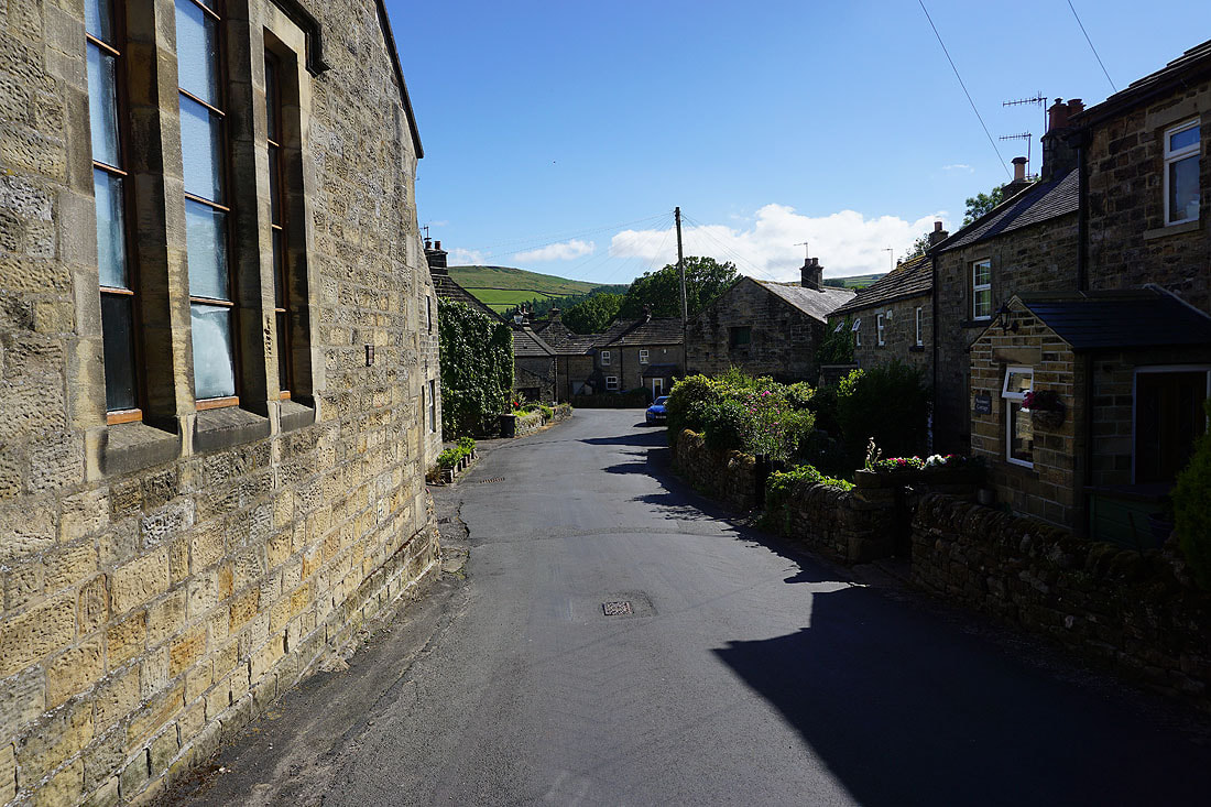
Making my way through Lofthouse
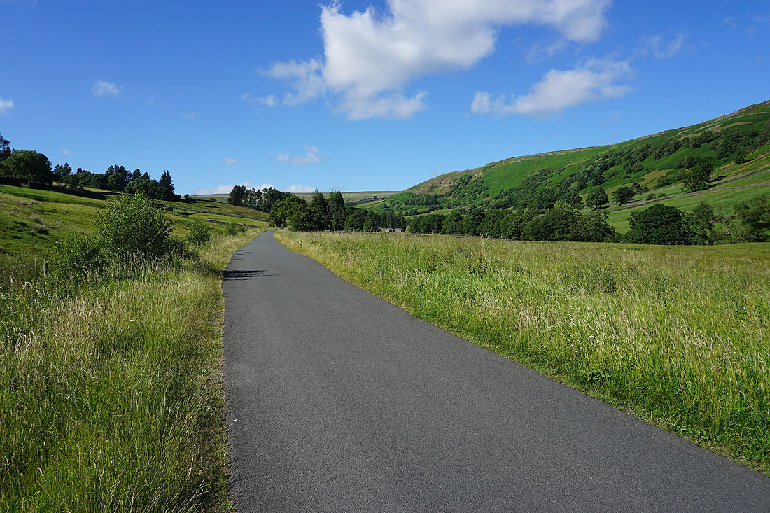
I finish with a walk up the access road to Scar House Reservoir to where I'm parked