24th November 2012 - Castle Crag, the final Wainwright
Walk Details
Distance walked: 5.0 miles
Total ascent: 1386 ft
OS map used: OL4 - The English Lakes, North-western area
Time taken: 5 hrs
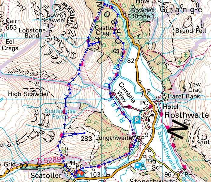
Route description: Seatoller-High Doat-Allerdale Ramble-Castle Crag-Allerdale Ramble-Cumbria Way-Seatoller
Sunday, 5th September 2004. The day I climbed my first Wainwright, the Old Man of Coniston. I have no record of the day unfortunately (I didn't have a camera, that was soon remedied) but I remember it being fine and sunny with light winds and good visibility. The view looking north had me transfixed, all those fells and I don't know any of them. The following year I started to put that right. By 2008 I had just twenty-odd left to do, so trips were organised to enable me to start bagging them. At the start of this year four were left to do and after my holiday in March just one was left, Castle Crag.
From the car park in Seatoller we had a short walk up the Honister Pass road to join the Allerdale Ramble footpath that took us to Castle Crag, with a detour to the top of High Doat along the way. After the celebrations on Castle Crag we returned to the path down to the Derwent. Our route back to Seatoller was along the Cumbria Way.
Route map
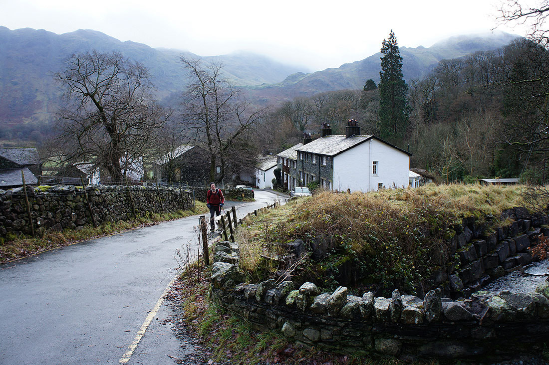
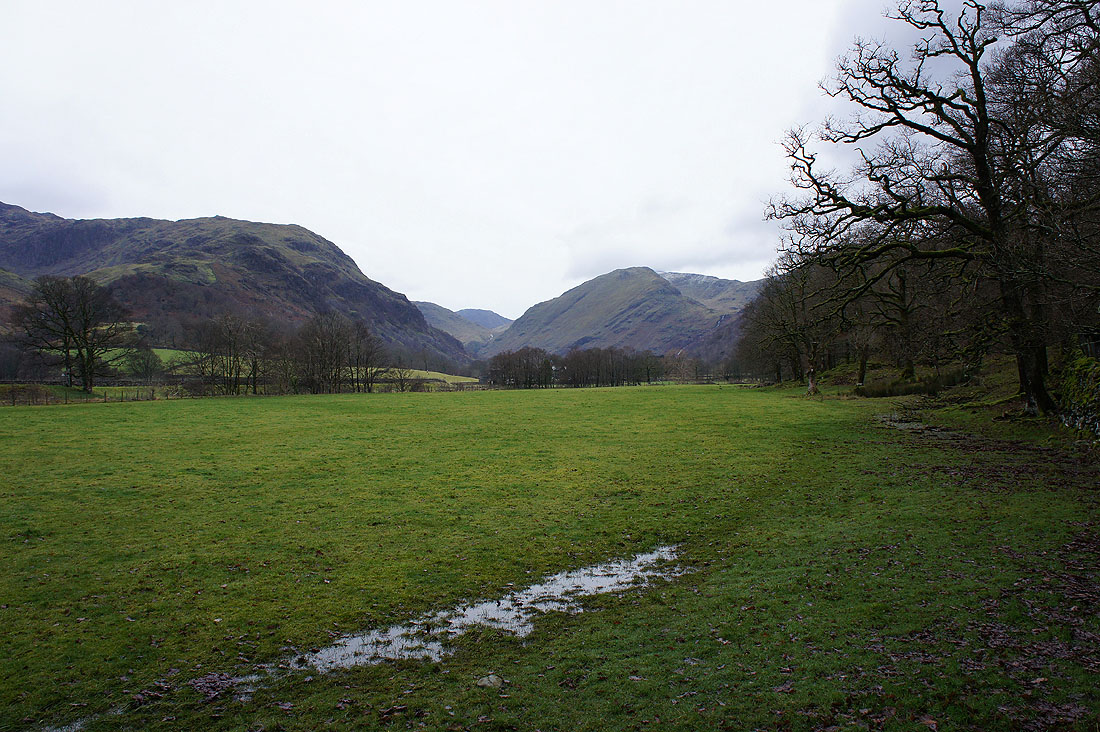
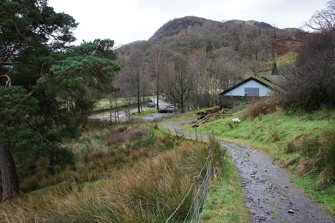
Leaving Seatoller behind as we head up the Honister Pass road
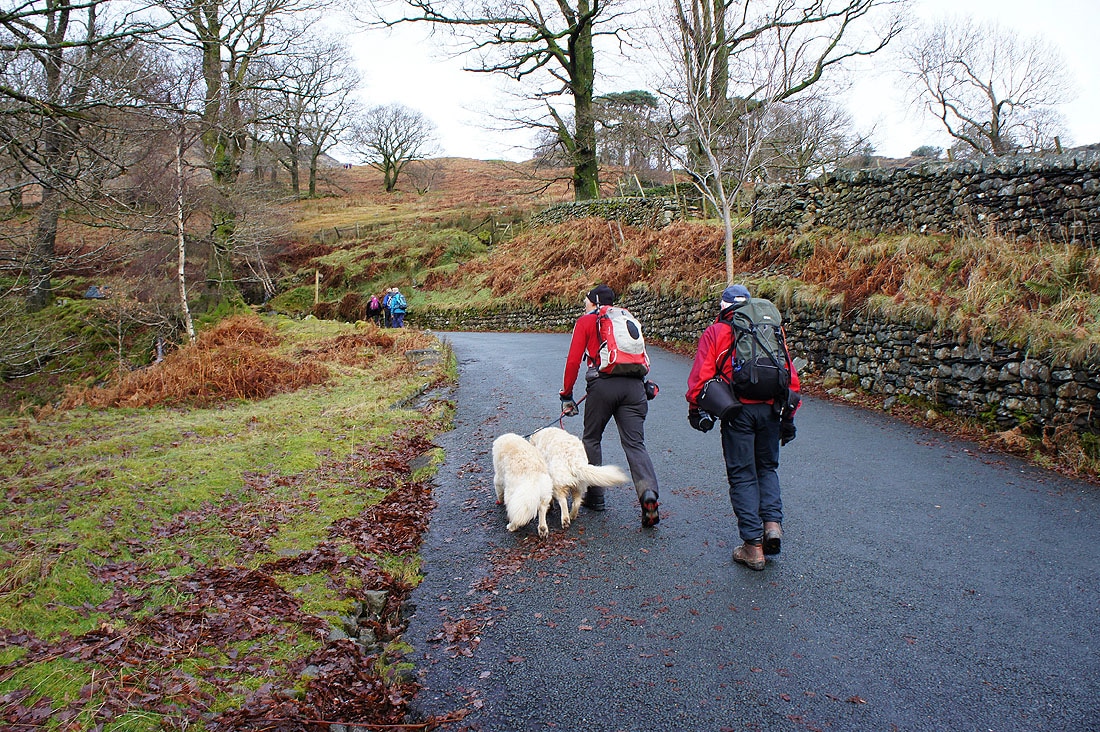
The signpost at the bend in the road is our objective
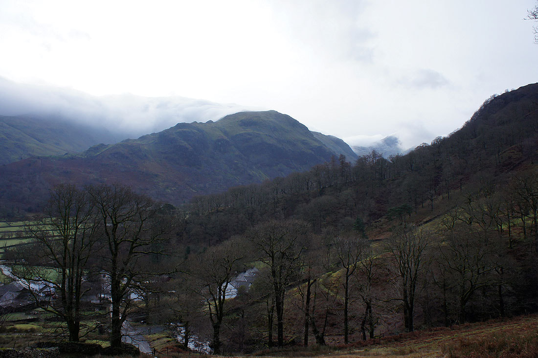
With a bit of height gained Thornythwaite Fell comes into view with a cloud covered Glaramara behind
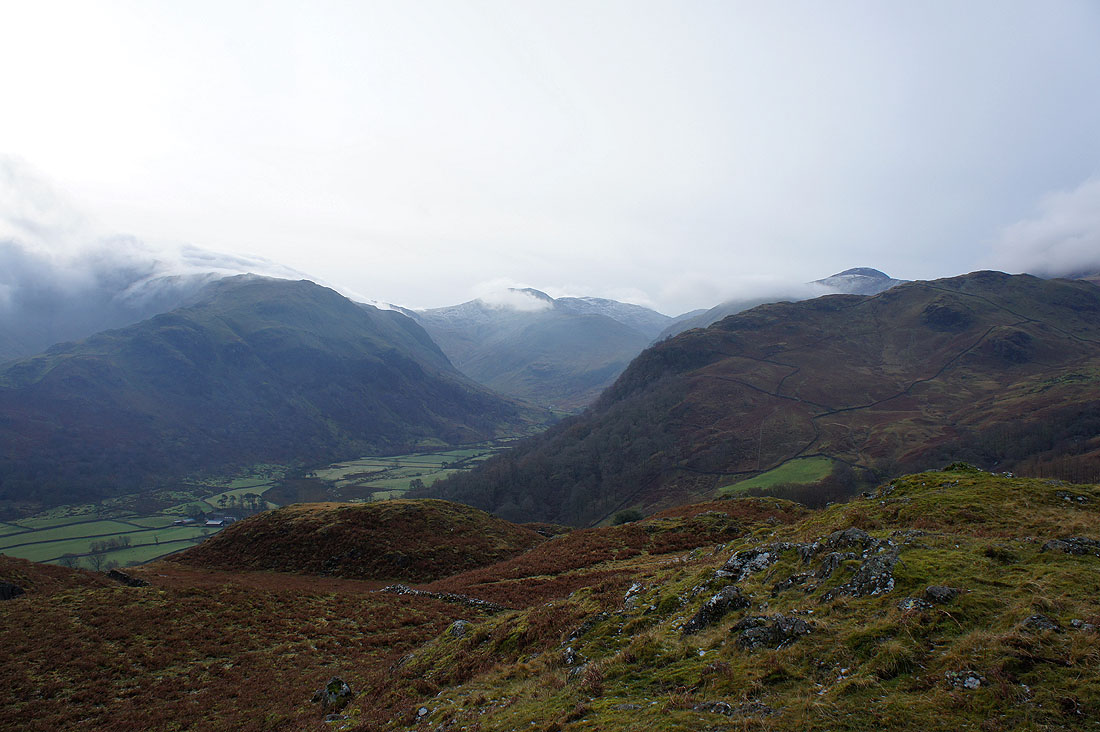
We've made the detour to the top of High Doat and there's a surprisingly good view to be had. Here I'm looking down the Seathwaite arm of Borrowdale to Great End with Scafell Pike over its right shoulder. The top of Great Gable is also clear of cloud over on the right.
Castle Crag. Not far to go now.
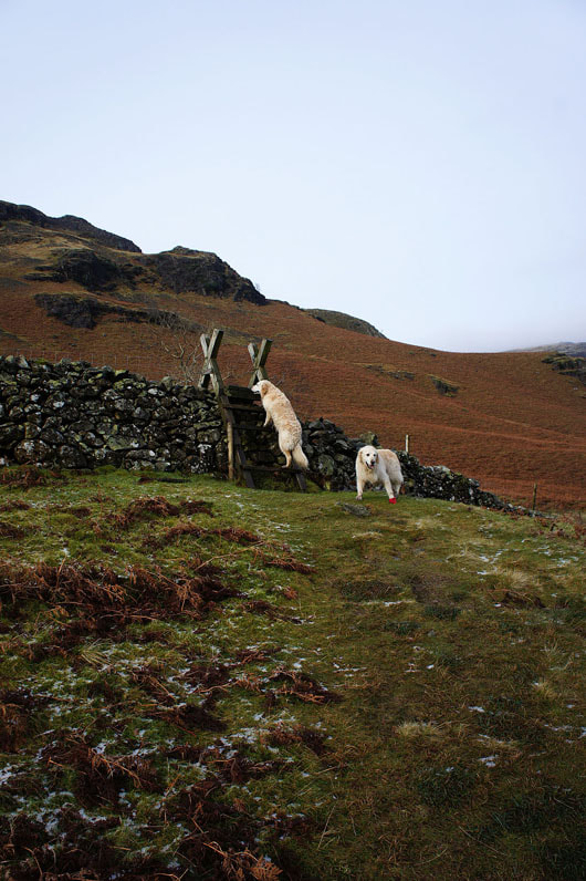
Can we have a little help please?
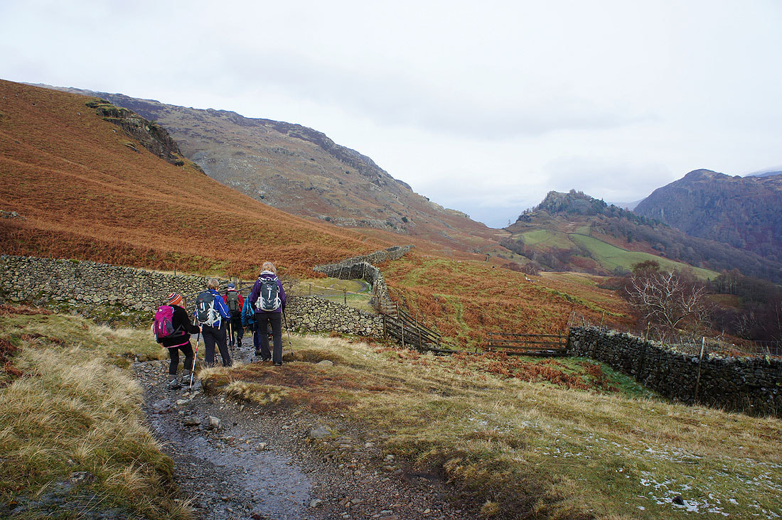
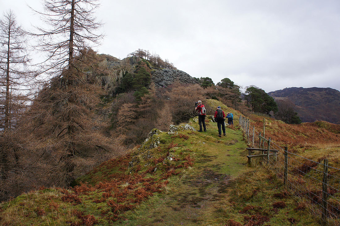
Back on the path to Castle Crag
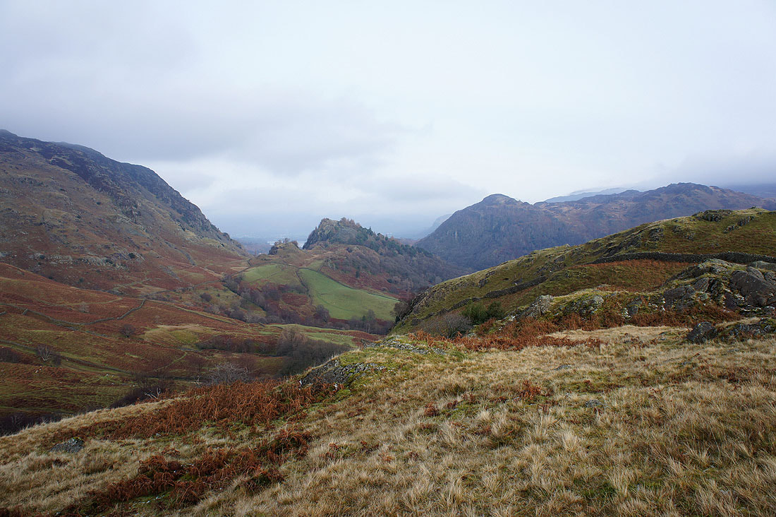
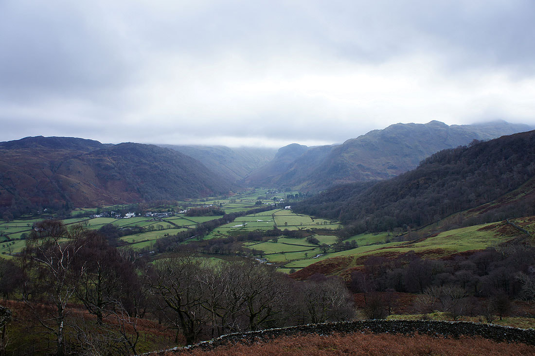
Great views of Borrowdale along the way
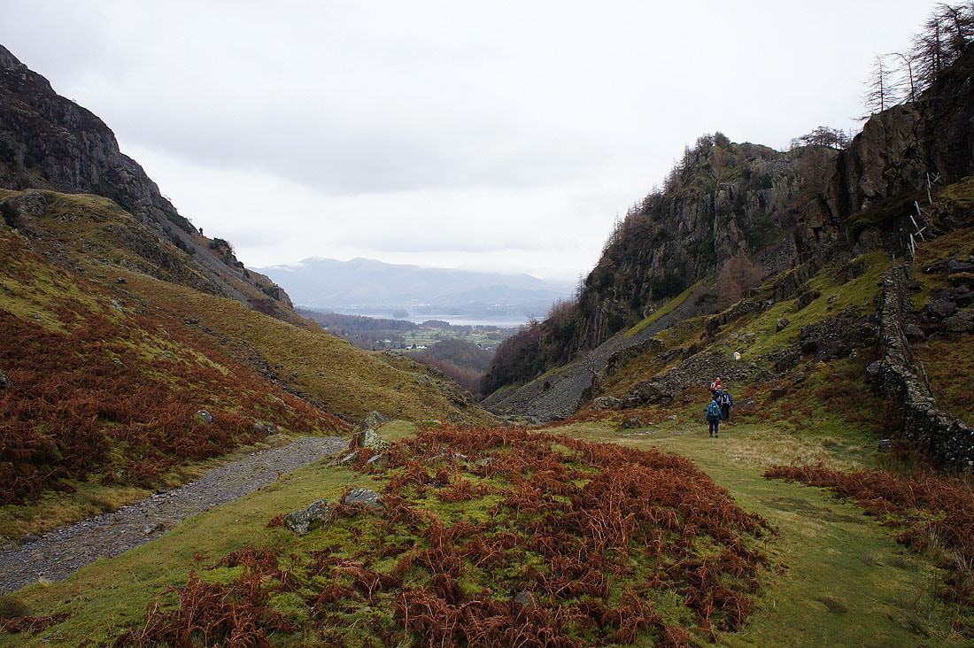
The col between Goat Crag and Castle Crag has been reached. The ascent can begin.
Approaching the quarry workings
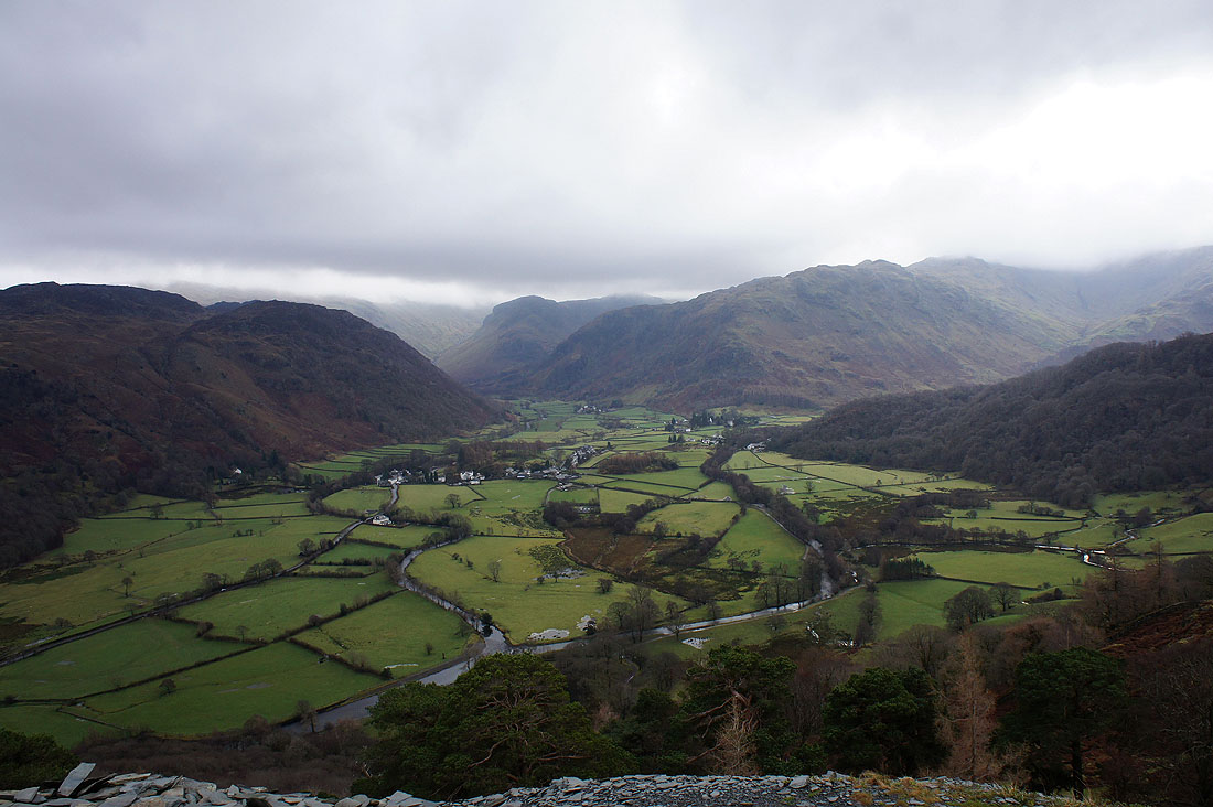
Rosthwaite and Borrowdale below
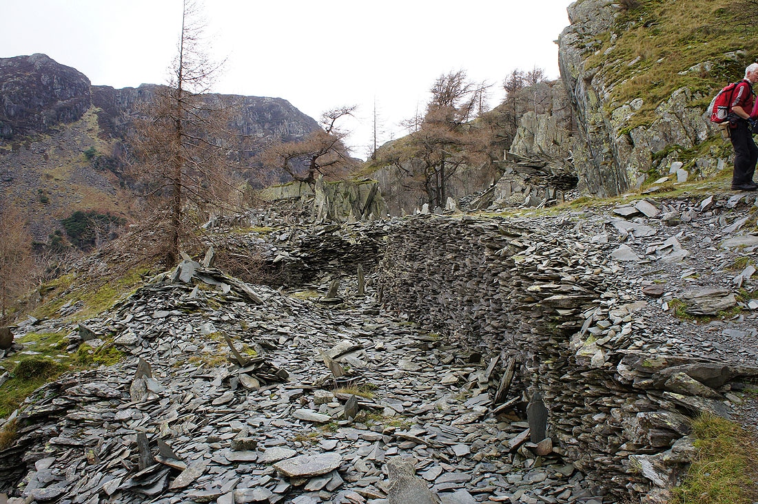
Just a small part of the extensive quarry workings that cover Castle Crag
Celebration time on Castle Crag. Eight years after my first Wainwright, the Old Man of Coniston and I've finally completed. Many thanks to my fellow members of the OFC for making it a day to remember. There's from left to right; Sherran, Anne B, Roger, Maggie, myself, Ann H and Bill. The group shot is courtesy of Roger and Ann Hiley of Loweswater Cam fame kindly taken by Andrew from the Isle of Man. Click on the link to see their take on the day.
Time to take in the view from the summit. That's High Doat in the middle of the picture, the top we visited en route from Seatoller, while in the background are Rosthwaite Fell and Thornythwaite Fell with the top of Glaramara covered in cloud.
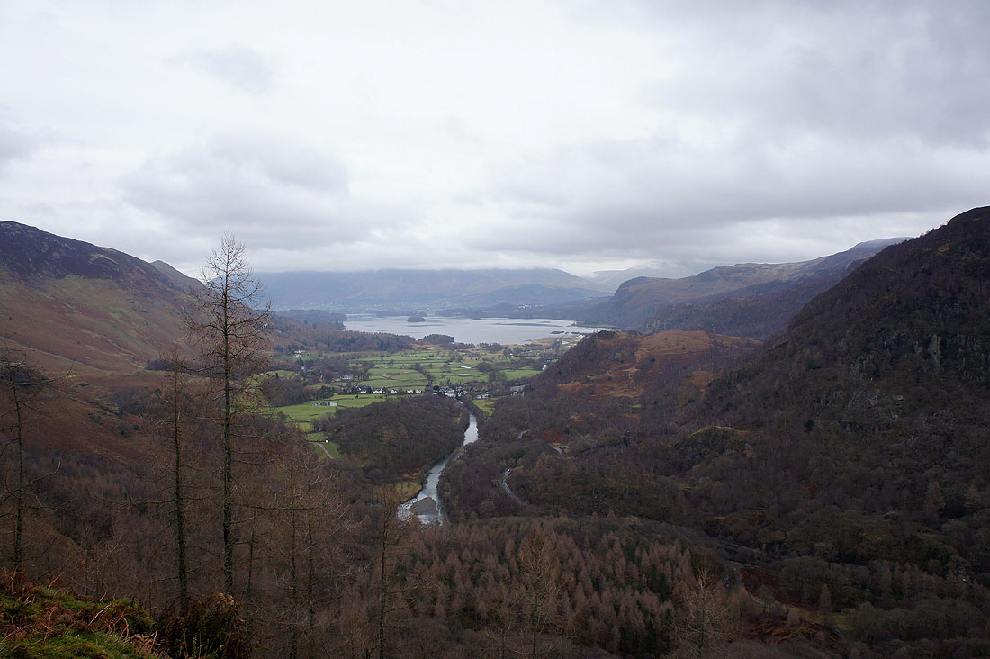
The River Derwent on its way to Derwent Water with a cloud covered Skiddaw behind
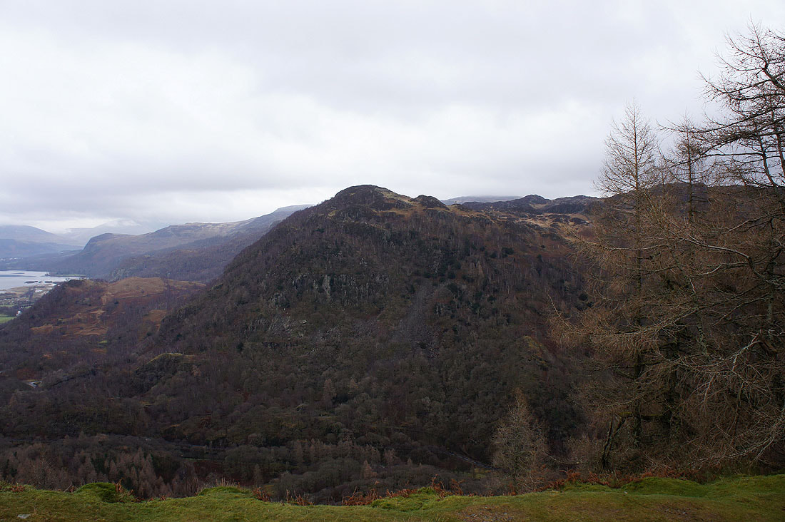
King's How, together with Castle Crag make up the Jaws of Borrowdale
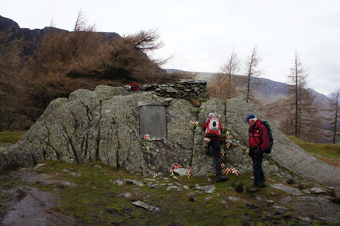
The war memorial has fresh poppies from the Remembrance service held here two weeks ago
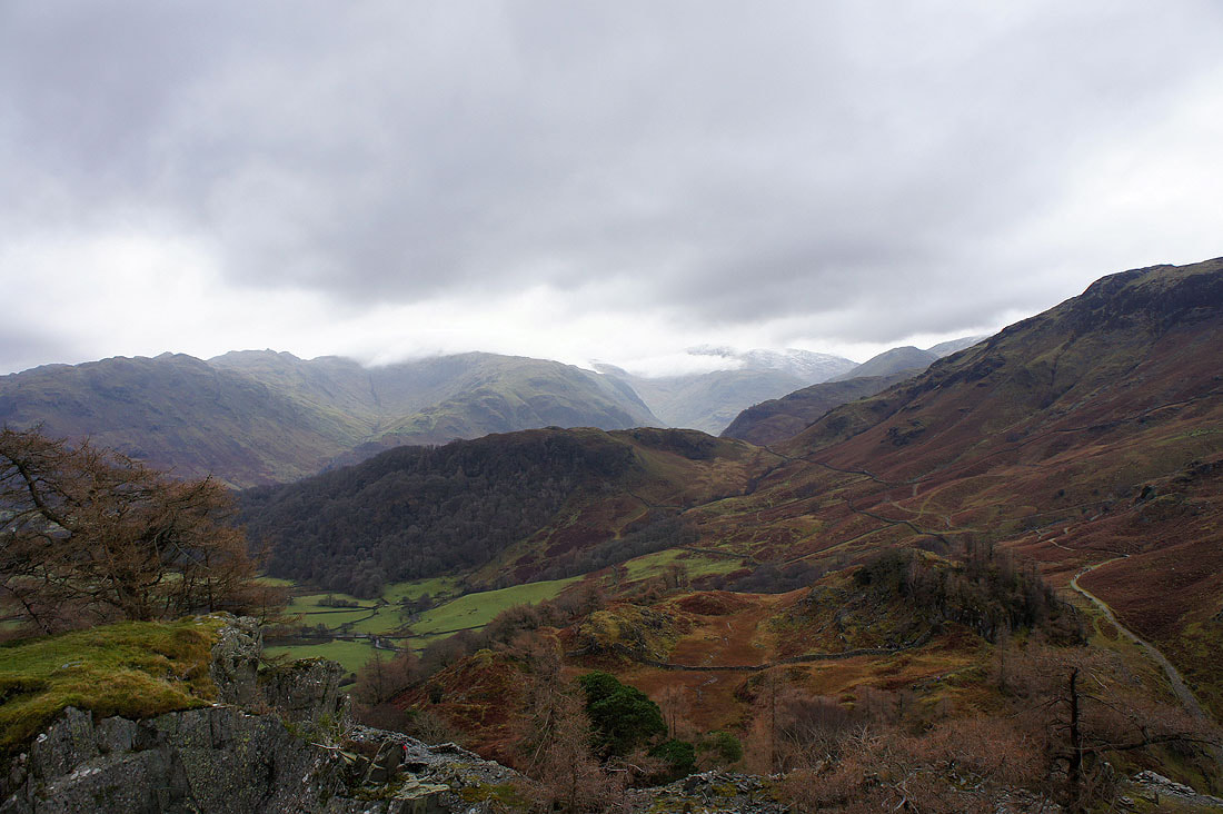
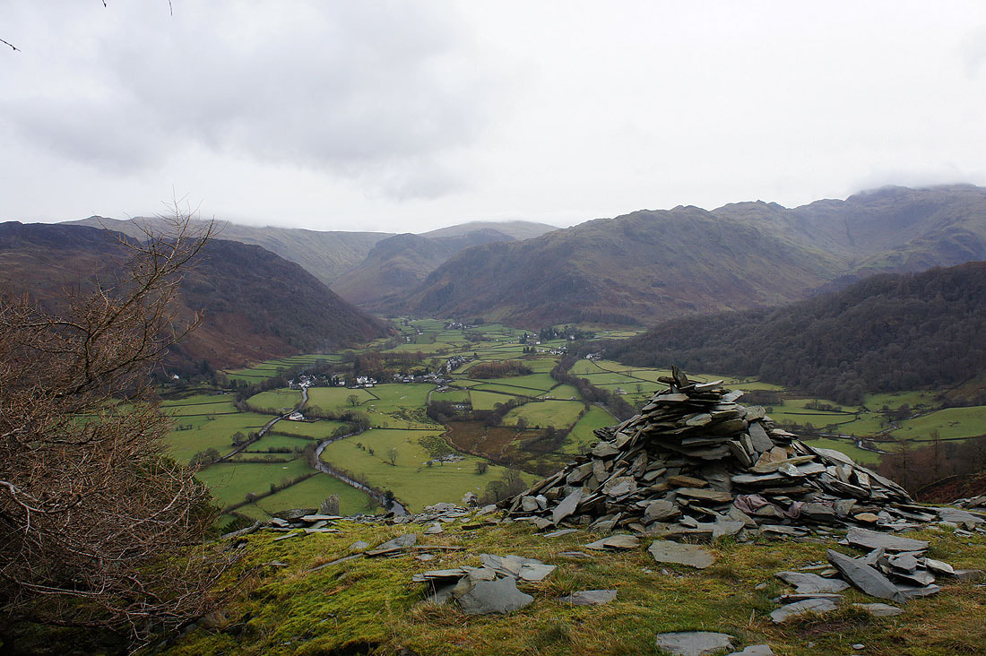
We've left the summit to head down to the quarry workings we passed on the way up. There will be plenty of places for us to sit down and have lunch. I had to take another picture of this view of Borrowdale first though. The cloud seems to have lifted a little. Beyond Rosthwaite, the Stonethwaite arm of Borrowdale leads the eye to Eagle Crag, Sergeant's Crag and then High Raise while on the right is Rosthwaite Fell.
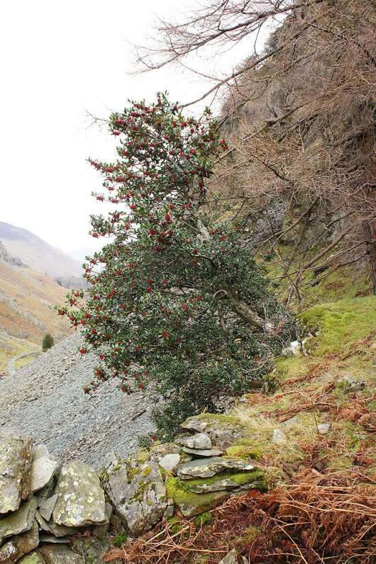
A colourful holly tree is passed on the way down
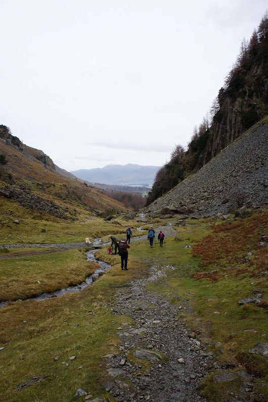
Now to follow the path by Broadslack Gill down to the Derwent. Skiddaw makes a distant backdrop.
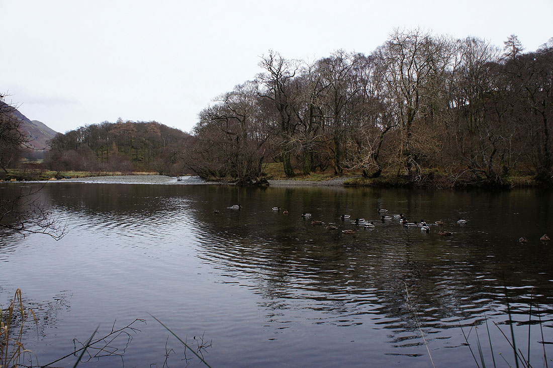
By the banks of the Derwent. A busy place in summer but it's very quiet today. This is where we started our walk back to Seatoller.
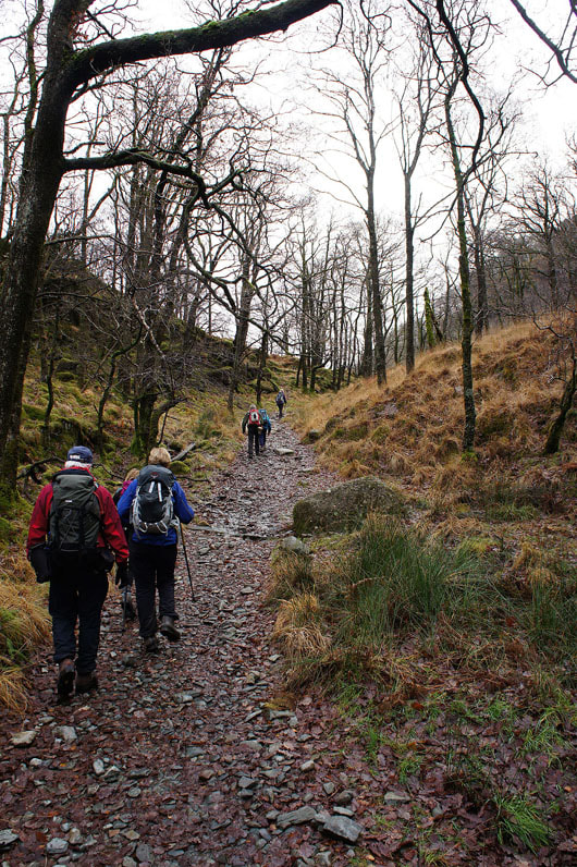
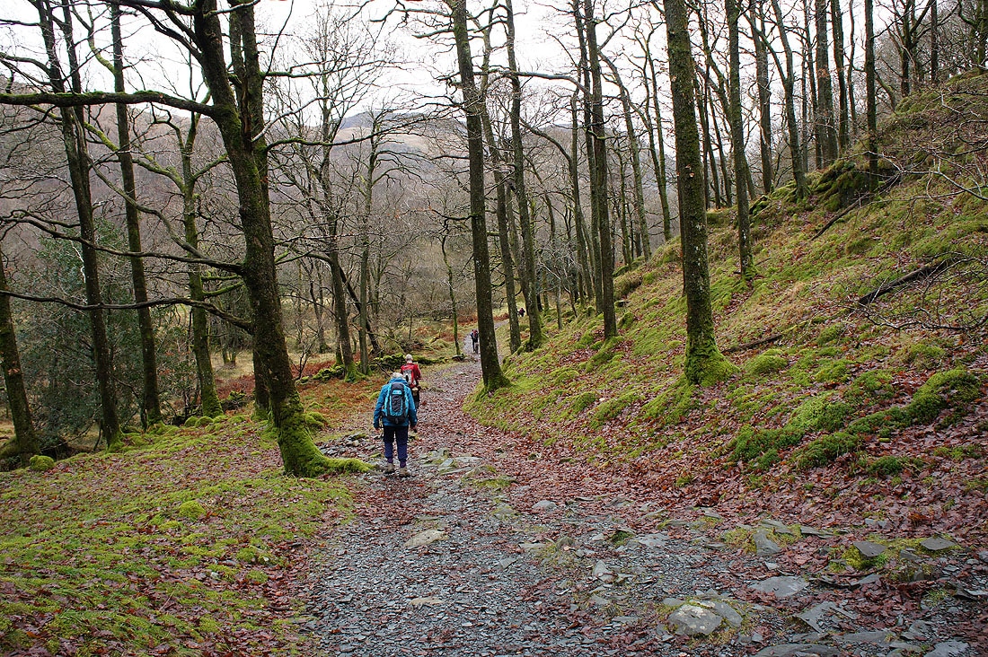
Heading up through Low Hows Wood
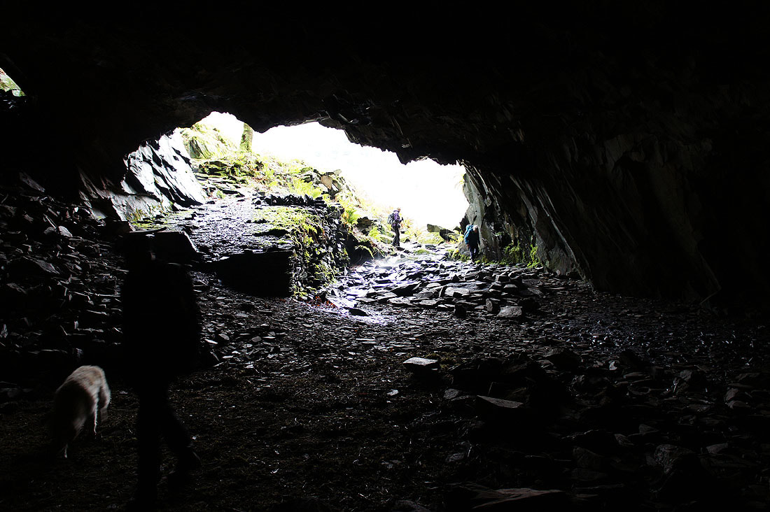
Room with a view? Millican Dalton certainly thought so. His caves can be found on the hillside above the path through the woods.
Back on the path through High Hows Wood
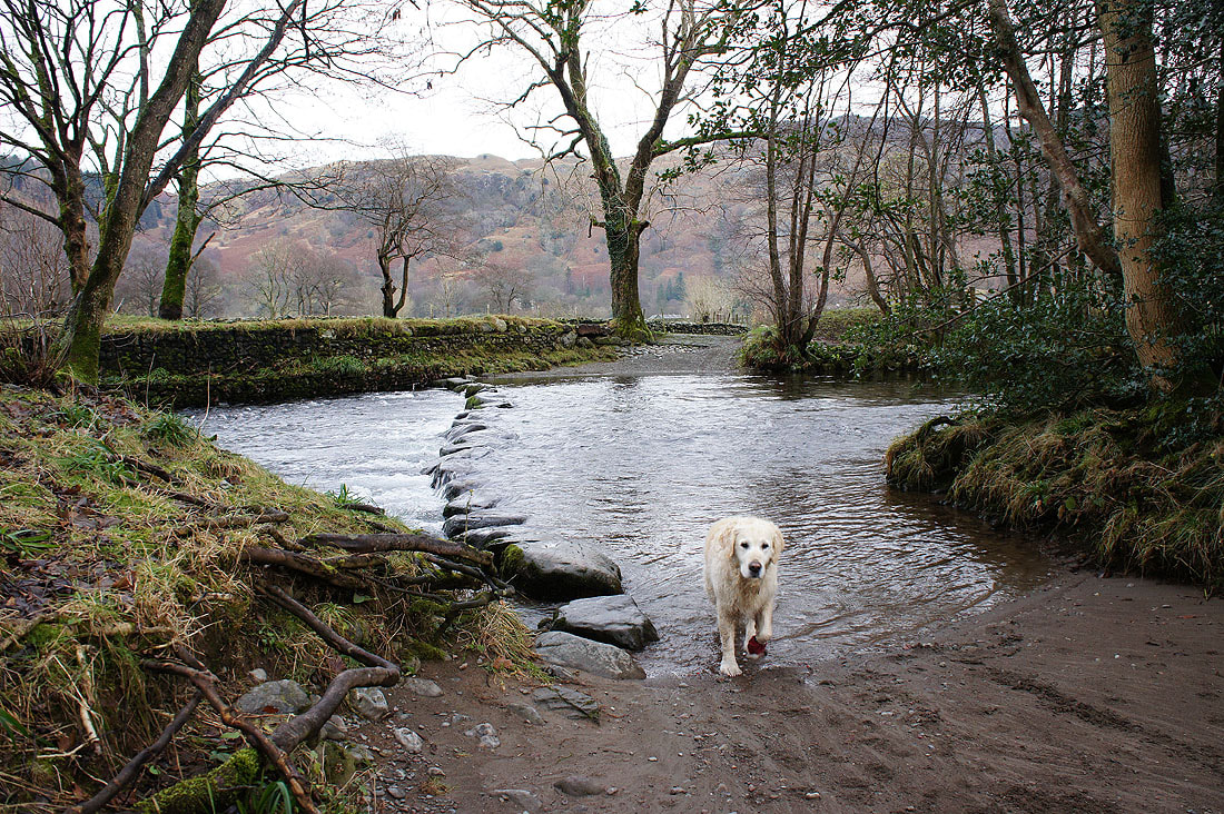
Not that way Harry. The stepping stones to Rosthwaite, fortunately not on our itinerary for the day.
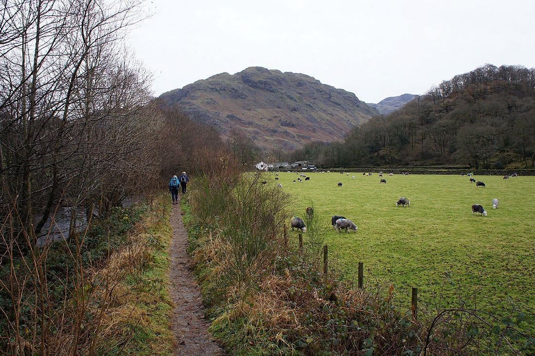
We're following the riverside path
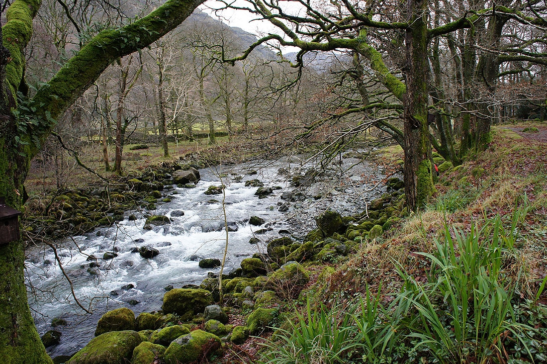
The Derwent next to the Borrowdale Youth Hostel
A view across Borrowdale. I can even make out Great End in the distance.
Back in Seatoller. Many thanks to everyone who joined me to complete my 214 and make it a day to remember.
