24th November 2013 - A walk from Barley
Walk Details
Distance walked: 5.1 miles
Total ascent: 824 ft
OS map used: OL21 - South Pennines
Time taken: 3.5 hrs
Route description: Barley-Lower Black Moss Reservoir-Upper Black Moss Reservoir-Mountain Farm-Firber House-Wheathead Height-Briercliffe Farm-Stang Top Moor-Barley
I fancied getting out again today but not long after setting off I had second thoughts. It was cold and grey and it started drizzling, fortunately it soon stopped and started to brighten up.
From Barley I walked through the village to take the track past the two Black Moss Reservoirs. I then crossed over the Black Moss Road to reach Mountain Farm. I then followed a path uphill to the ruin of Firber House and then onto the high point of the walk near the top of Wheathead Height. My route back took me down a track to Wheathead Lane and across to Briercliffe Farm. A couple more paths then brought me to Black Moss Road. I then followed the bridleway across Stang Top Moor to join up with the Pendle Way which I followed back to Barley.
Route map
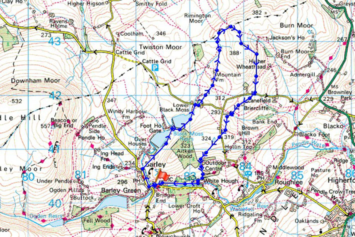
© Crown copyright. All rights reserved. License number PU 100034184.
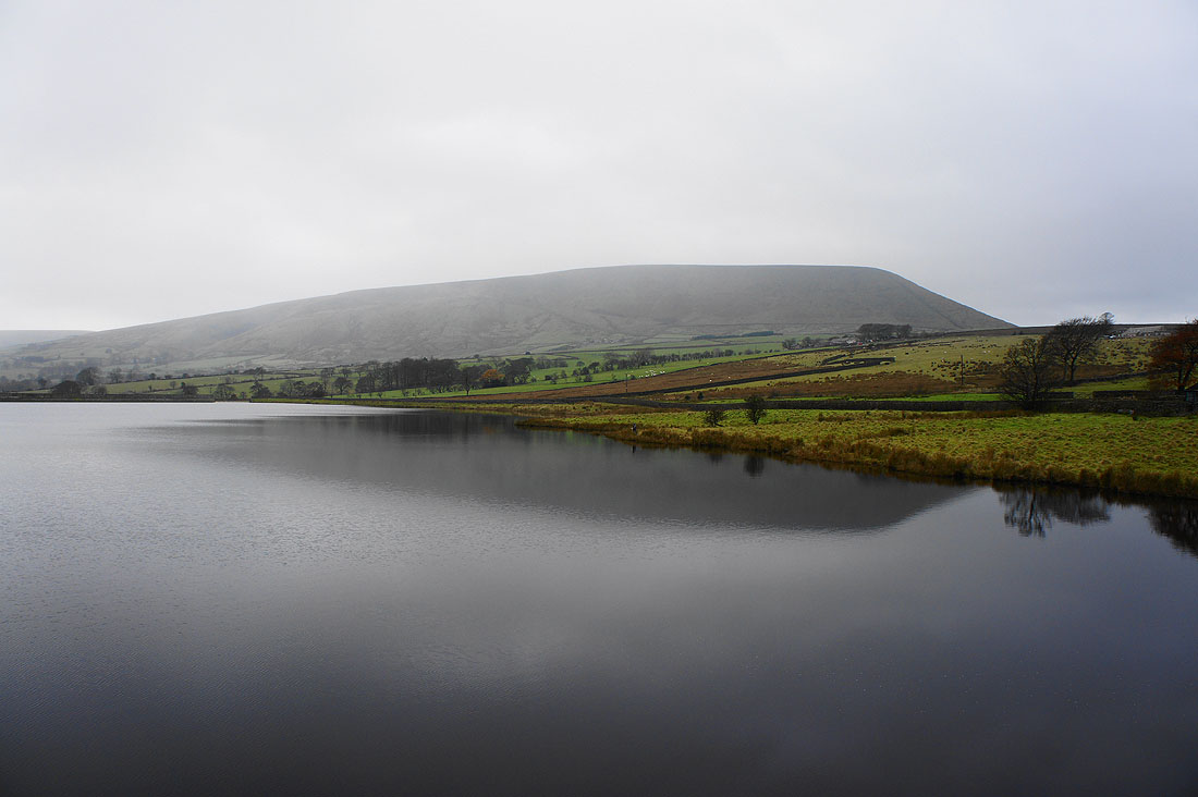
Pendle Hill from Lower Black Moss Reservoir and its gloomy and drizzling
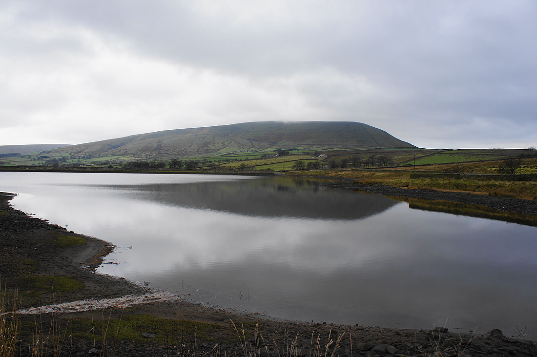
By Upper Black Moss Reservoir
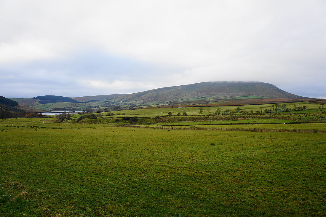
Pendle Hill and the Black Moss Reservoirs as I head up to Mountain Farm
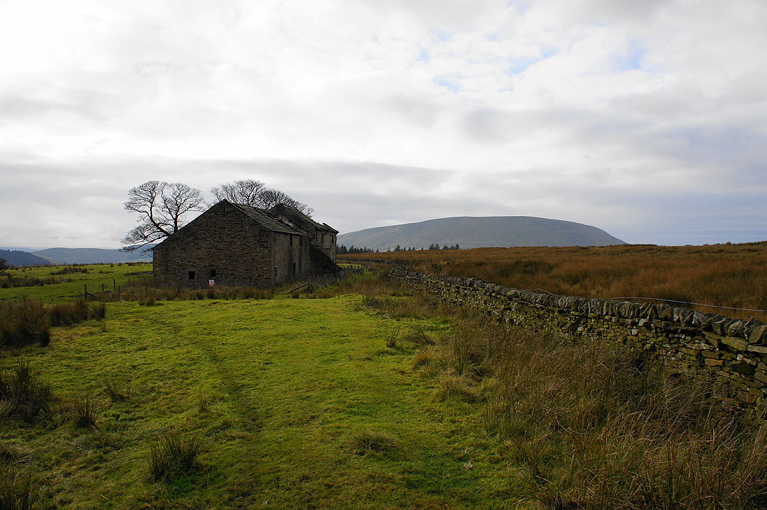
The bleak ruins of Firber House
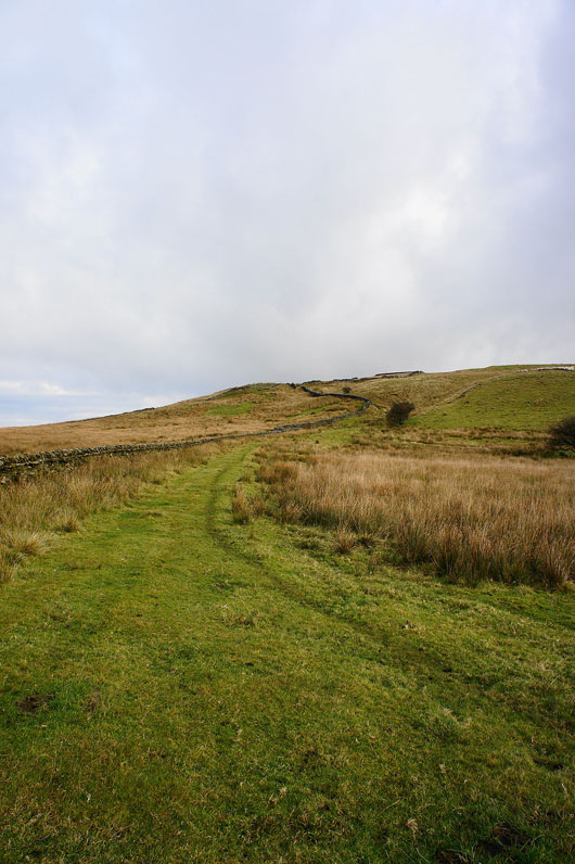
Heading up onto the moor
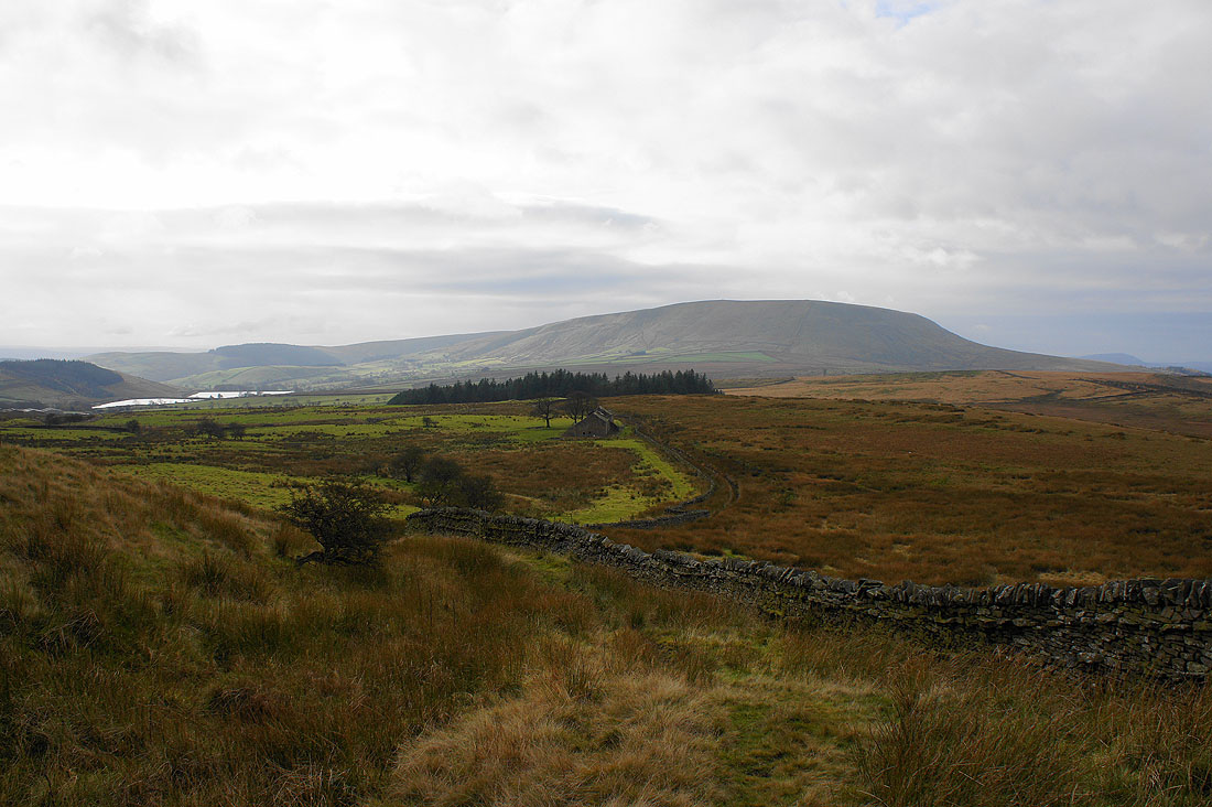
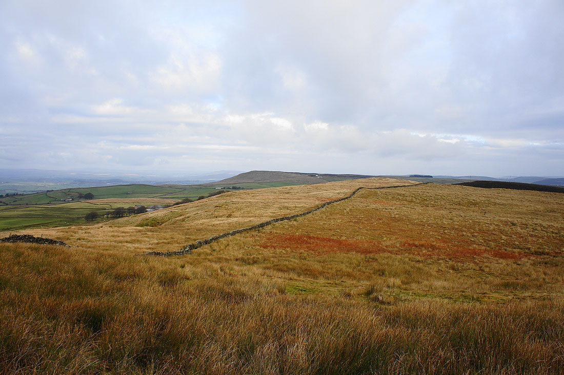
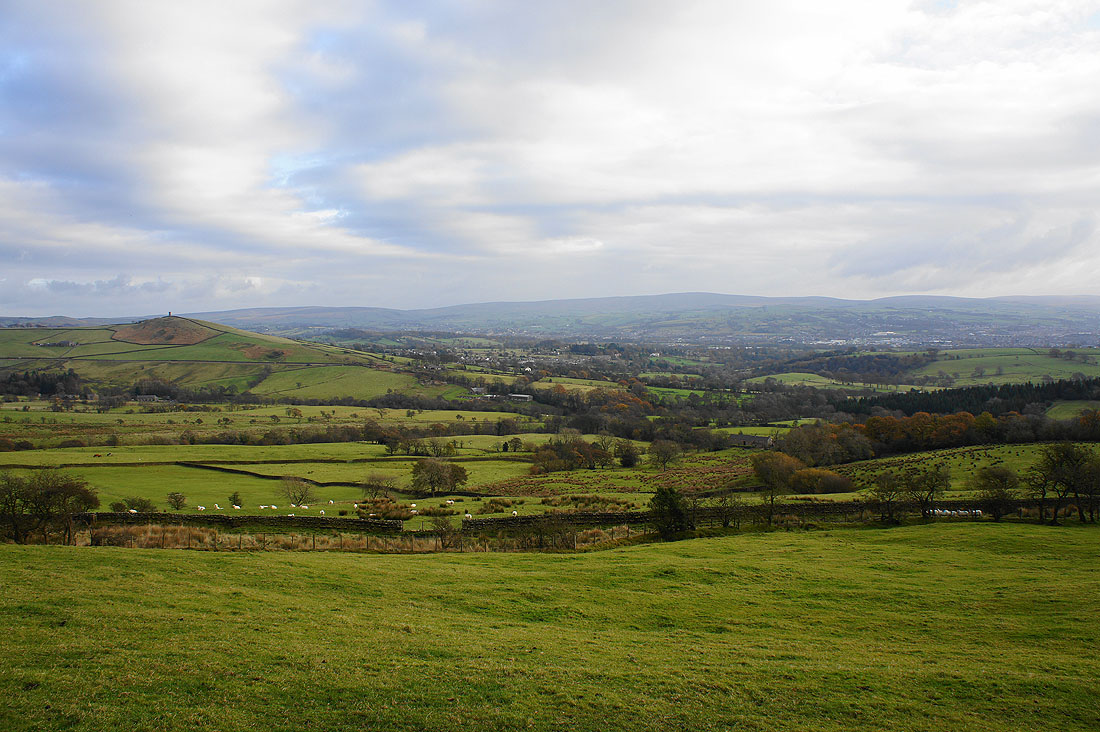
As I gain some height the view opens out. The Black Moss Reservoirs and the bulk of Pendle Hill.
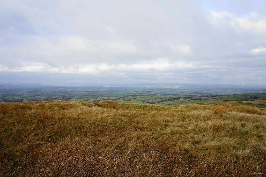
The hills of the Forest of Bowland in the distance
Weets Hill and Burn Moor
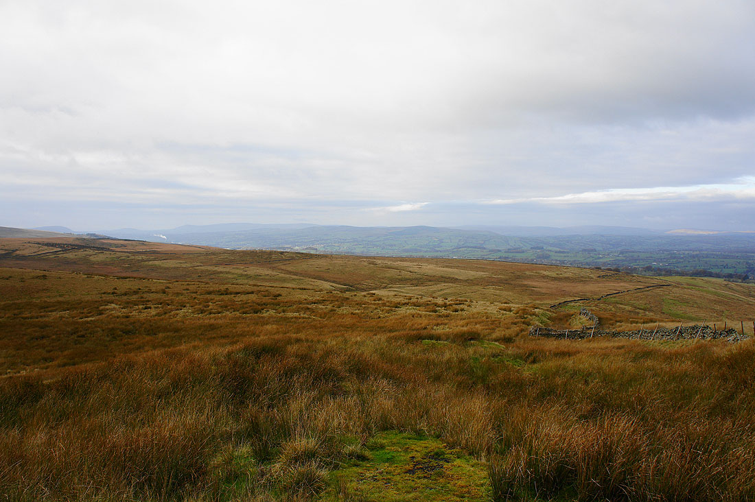
It's bit murky but those are the hills of the Yorkshire Dales in the distance
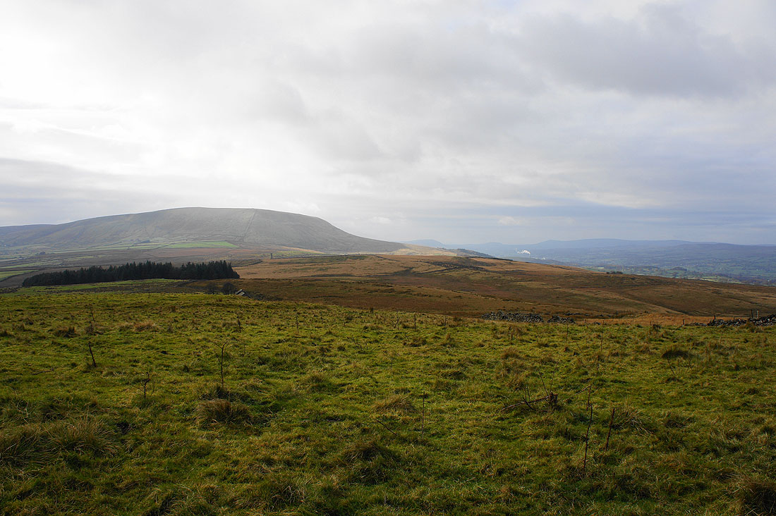
Pendle Hill and Twiston Moor
Blacko Hill with cloud on the top of Boulsworth Hill in the distance

On the track down to Wheathead Lane
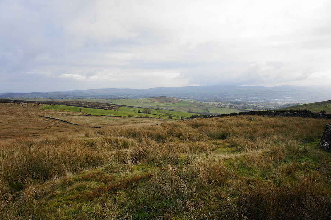
Blacko Hill, the valley of Blacko Water and the South Pennines from near Briercliffe Farm
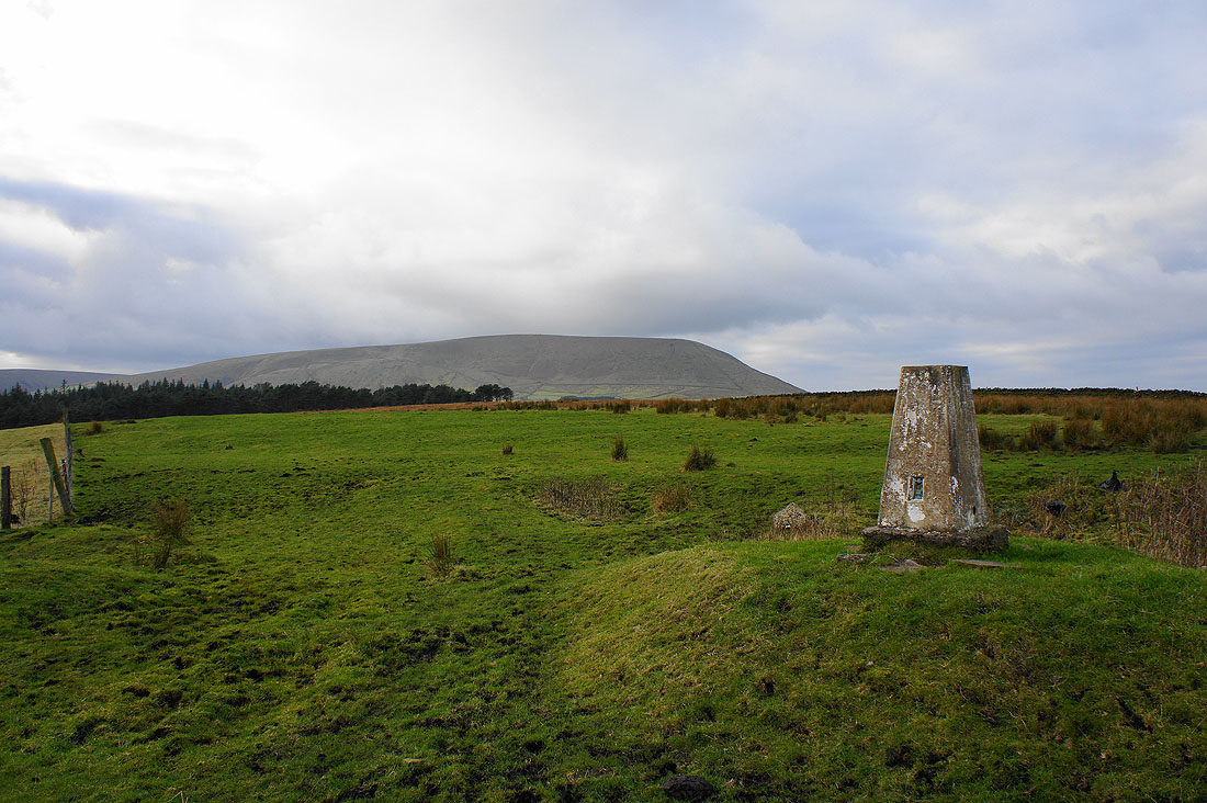
Pendle Hill from the trig point on Stang Top Moor. The view isn't up to much in other directions.
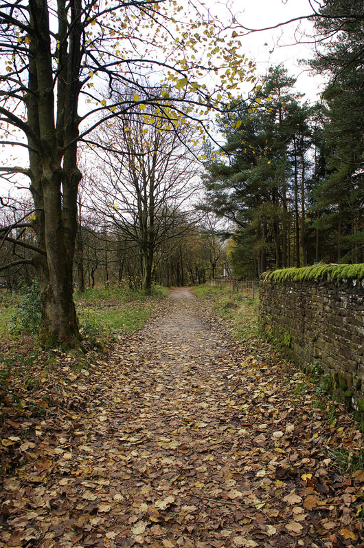
On the Pendle Way back to Barley