24th November 2014 - Ingleborough
Walk Details
Distance walked: 7.0 miles
Total ascent: 2052 ft
OS map used: OL2 - Yorkshire Dales, Southern & western areas
Time taken: 5.5 hrs
Route description: Ingleton-Fell Lane-Crina Bottom-Ingleborough-White Scars-Crina Bottom-Fell Lane-Ingleton
I'd planned on doing a climb of Ingleborough at some point this year so when a good forecast presented itself and I was free, I thought today would be a good a time as any. All my previous ascents have been from Clapham so I decided to start from Ingleton for a change. It's the same route there and back but the detour onto White Scars on the way down added a bit of variety.
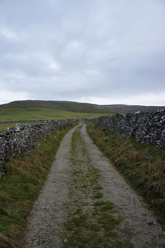
A very easy route description. I left Ingleton by walking up the Hawes Road and then onto the track of Fell Lane. I followed this to Crina Bottom and the path that continues all the way up to the summit of Ingleborough. My route back was the reverse of this except for the detour out onto White Scars.
Total ascent: 2052 ft
OS map used: OL2 - Yorkshire Dales, Southern & western areas
Time taken: 5.5 hrs
Route description: Ingleton-Fell Lane-Crina Bottom-Ingleborough-White Scars-Crina Bottom-Fell Lane-Ingleton
I'd planned on doing a climb of Ingleborough at some point this year so when a good forecast presented itself and I was free, I thought today would be a good a time as any. All my previous ascents have been from Clapham so I decided to start from Ingleton for a change. It's the same route there and back but the detour onto White Scars on the way down added a bit of variety.
A very easy route description. I left Ingleton by walking up the Hawes Road and then onto the track of Fell Lane. I followed this to Crina Bottom and the path that continues all the way up to the summit of Ingleborough. My route back was the reverse of this except for the detour out onto White Scars.
Route map
© Crown copyright. All rights reserved. License number PU 100034184.
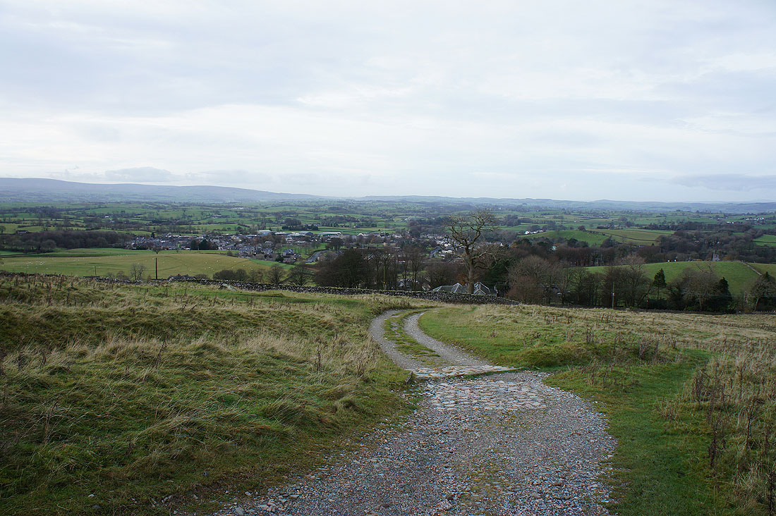
Ingleton below as..
..I head up the track of Fell Lane
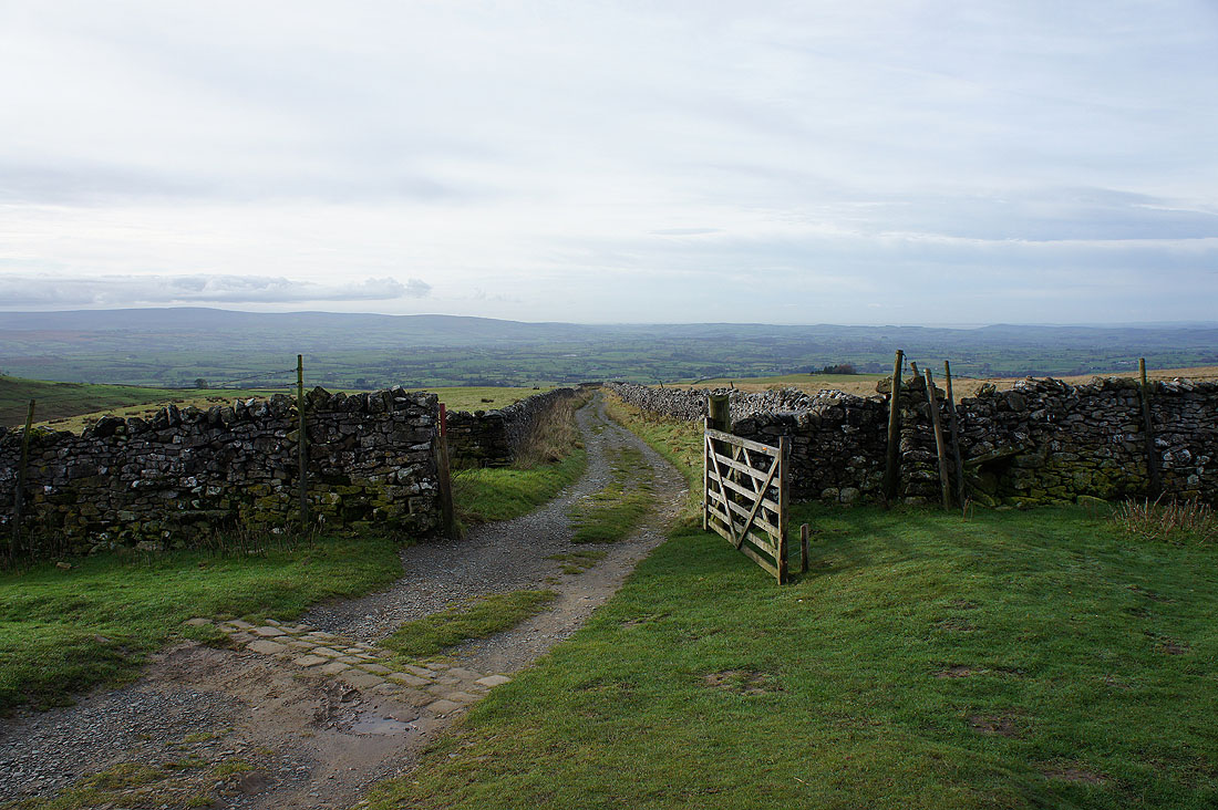
The gate at the top of the track as..
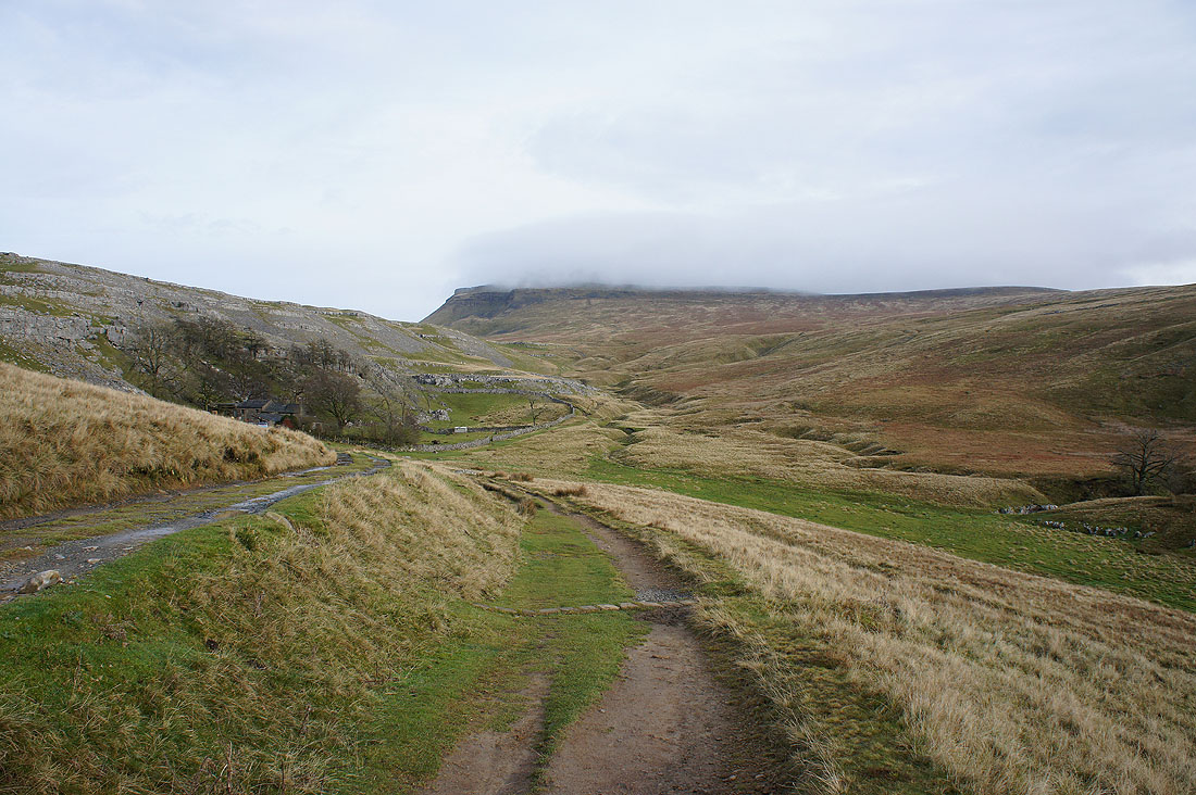
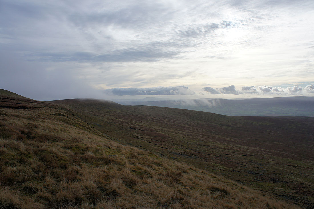
..I reach Crina Bottom. The low cloud has developed since I set off.
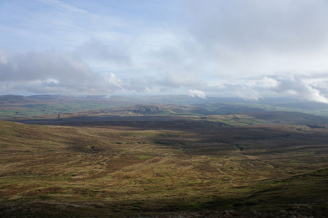
Looking back down to the valley past White Scars just in case I have no view from the summit
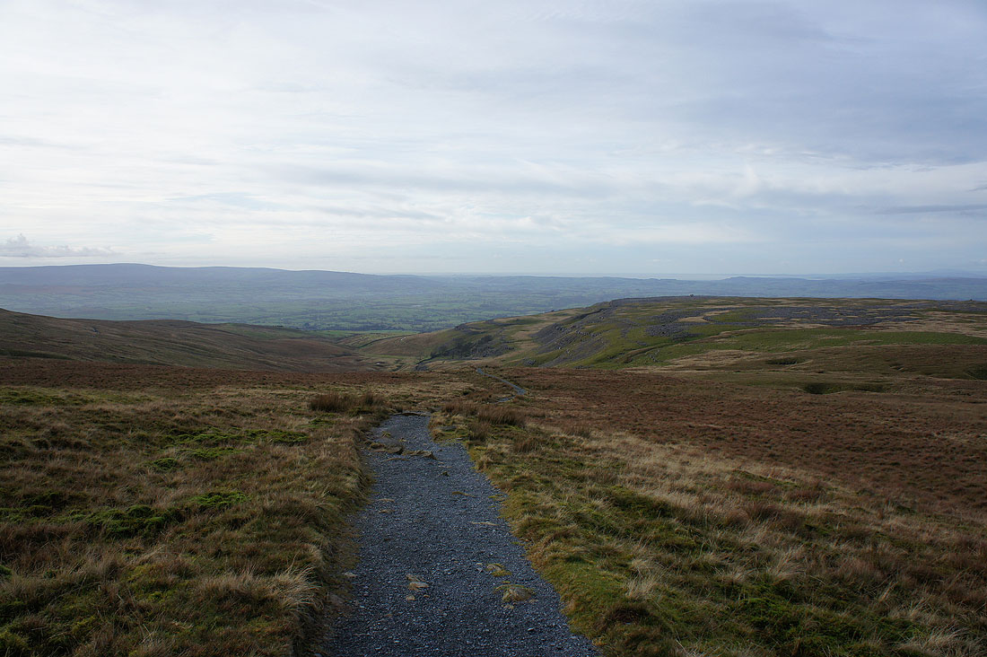
Onwards and upwards
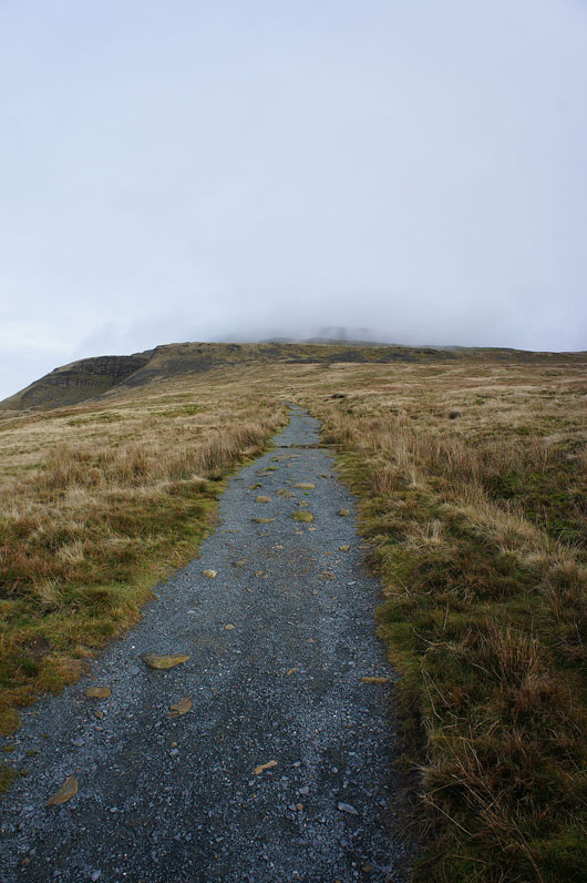
The final climb to the summit plateau ahead and the low cloud seems to be clearing
Pendle Hill appears through the fragments of low cloud
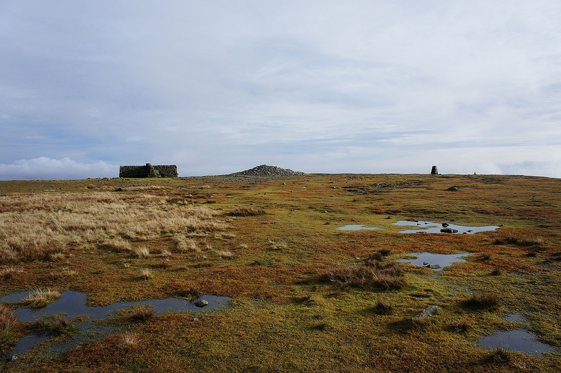
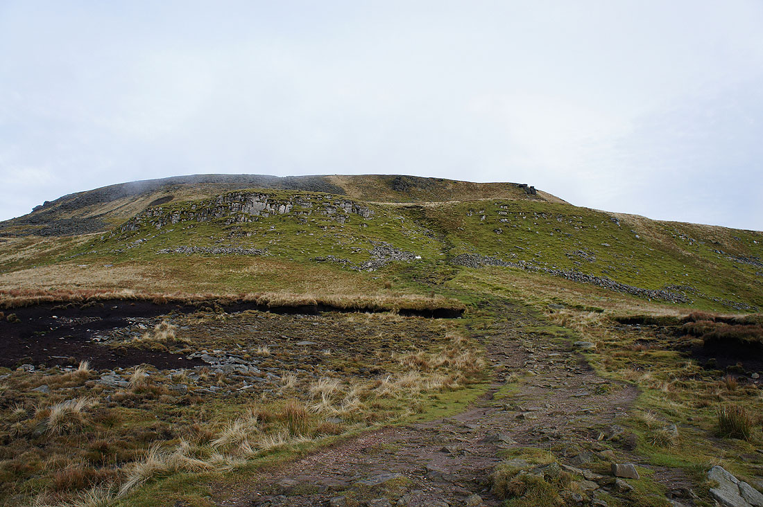
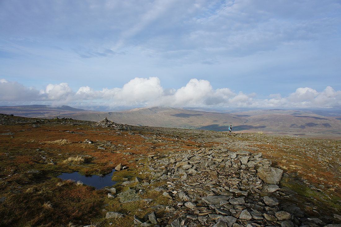
Finally on the summit plateau. A cross shelter, cairn and trig point. The trig point has had a small metal plate attached to it with a QR code on it that if scanned gives information about the view.
The shelter came in handy today for staying out of the wind while I had my sandwiches. I'm going to walk round the plateau in a clockwise direction and take in the view. White Scars below and Morecambe Bay in the distance past Twisleton Scar End and Tow Scar.
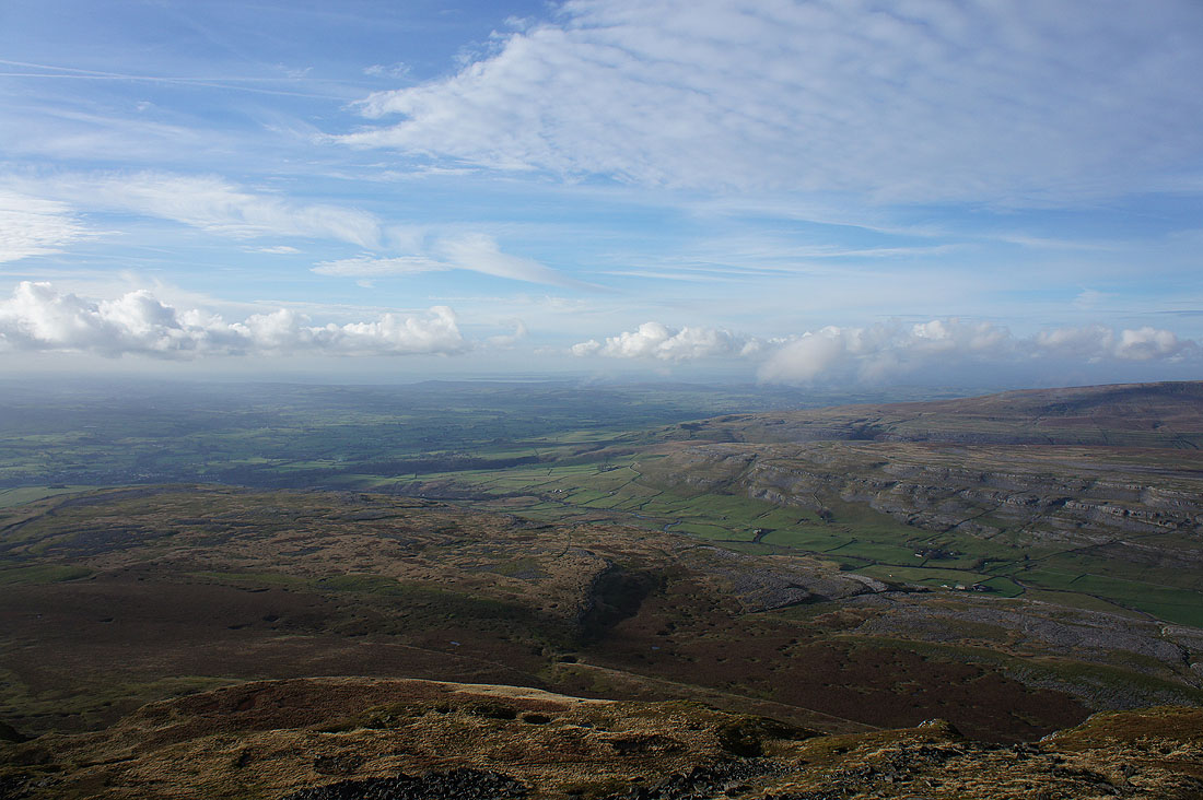
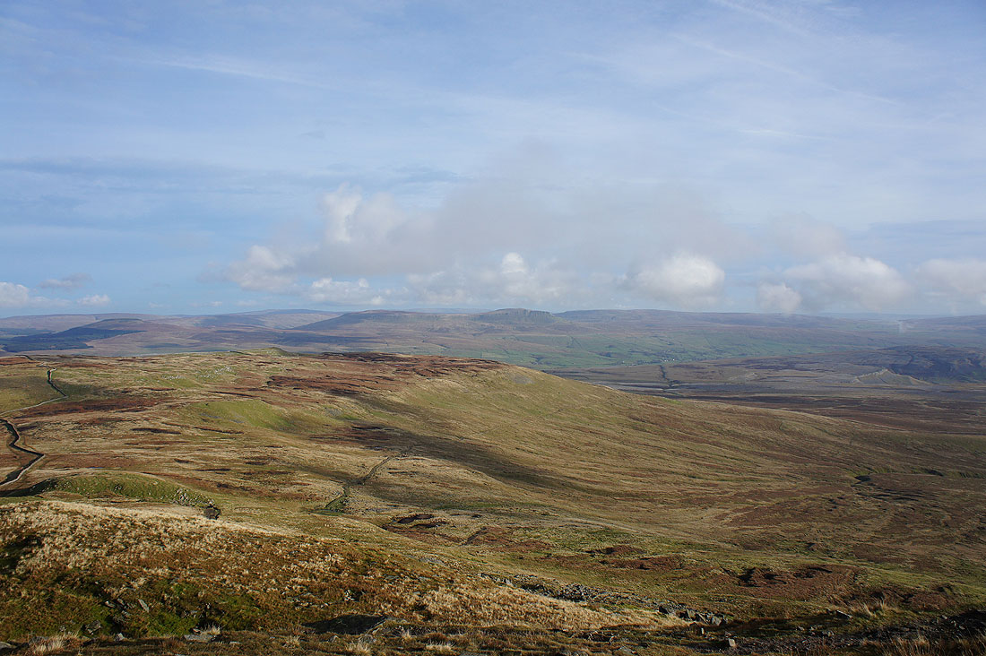
Great Coum and Whernside across Chapel-le-Dale. The Howgills in the distance in the gap between them.
Whernside, Ribblehead and Blea Moor
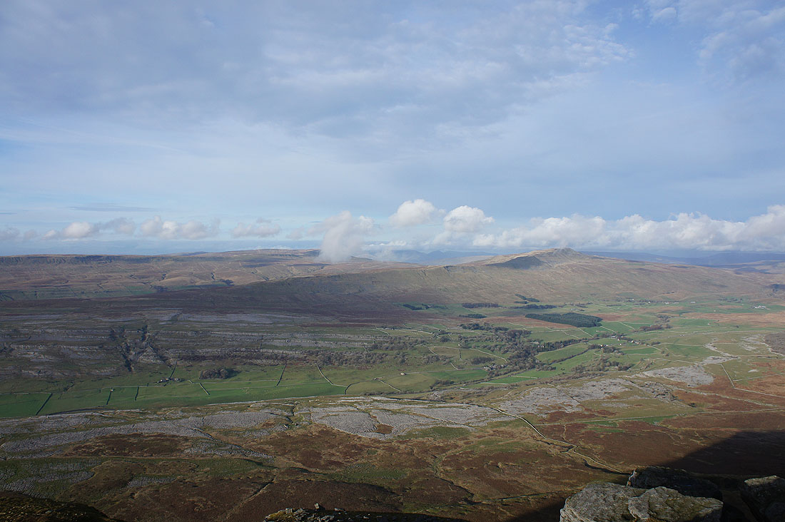
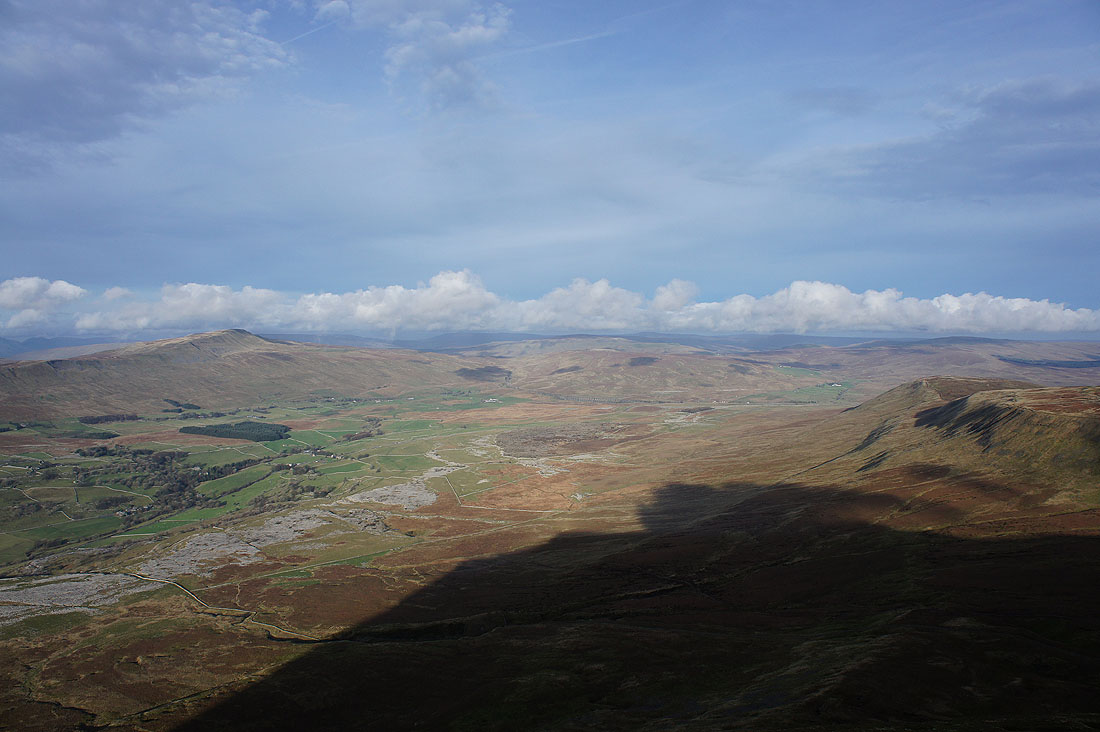
Looking across Humphrey Bottom to Simon Fell
Plover Hill, Penyghent and Fountains Fell
I liked this shot of Whernside with somebody checking their route before descending Swine Tail
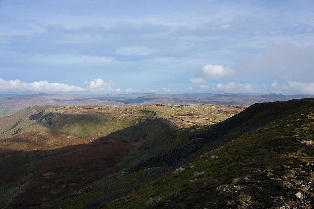
Ribblesdale, Moughton and Crummack Dale
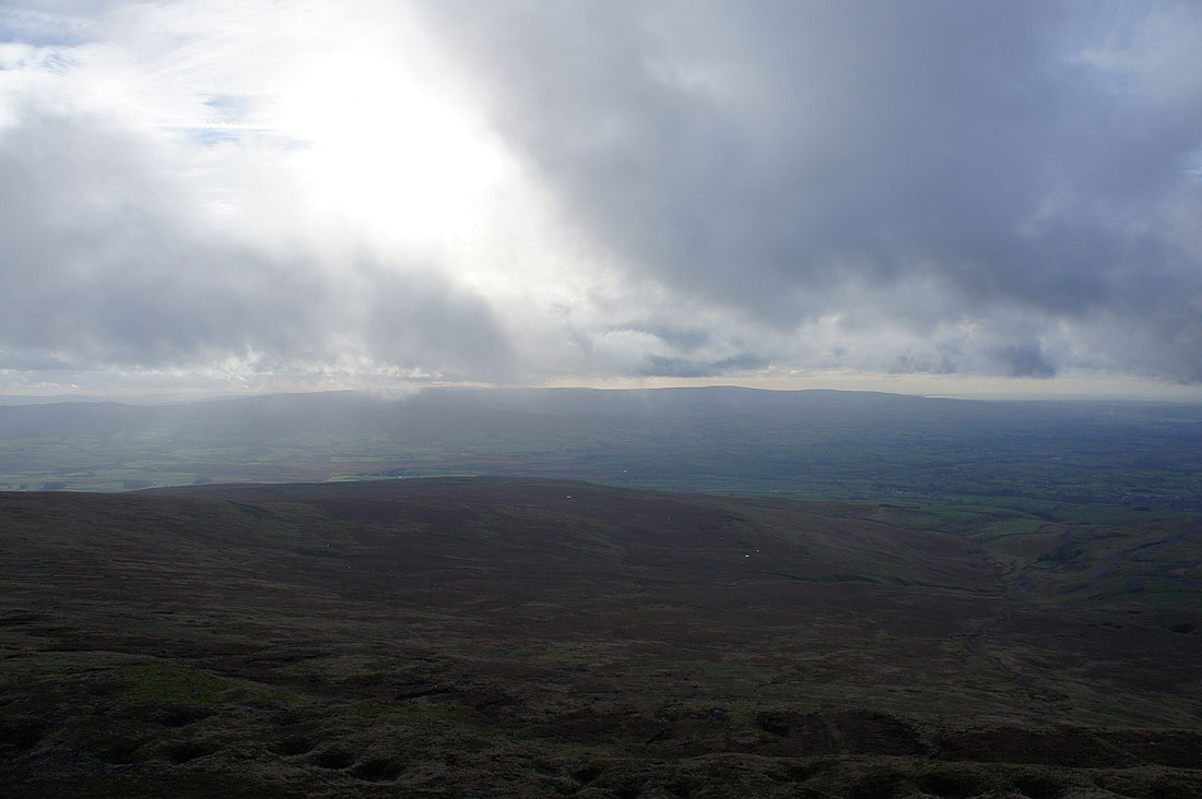
I took this photo just a few minutes after the last one and the low cloud that's started to form has almost blocked the view across to the Forest of Bowland. Shows how quickly things can change up here.
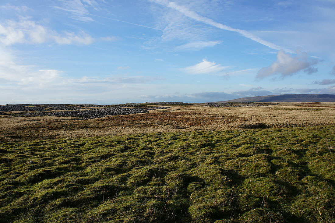
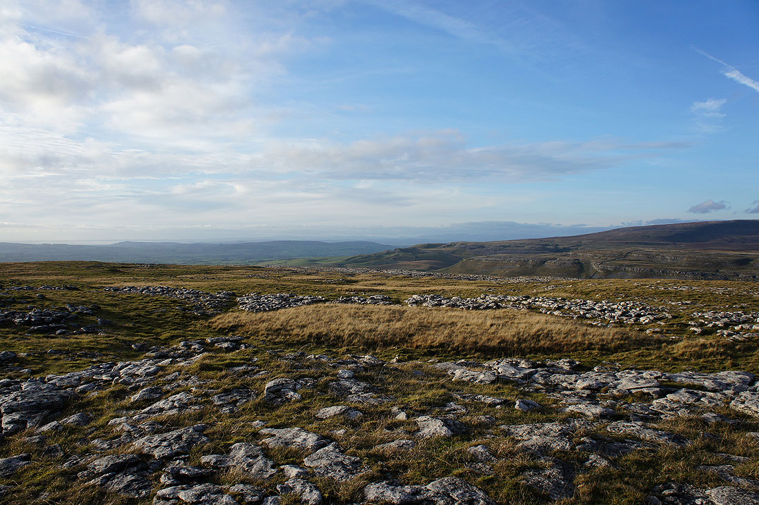
I've made my descent and I'm heading out onto the limestone pavement of White Scars, aiming for the two cairns that seem to mark its high point. Hope to get some good photos.
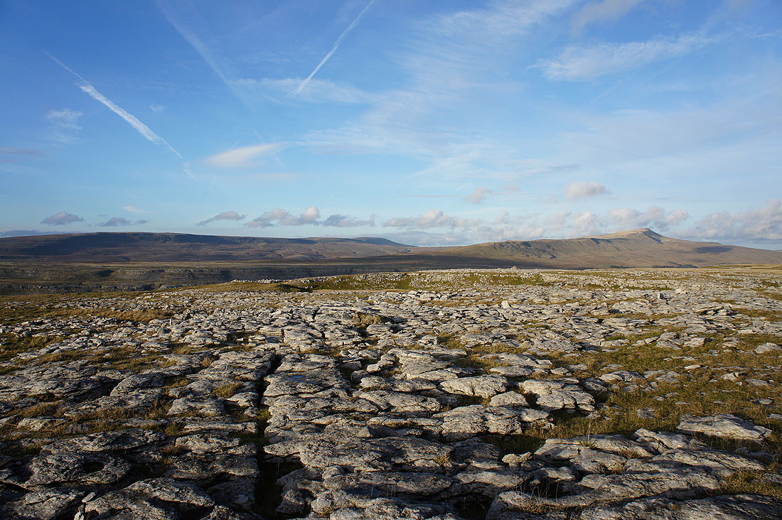
Gragareth, Great Coum and Whernside
Looking past Tow Scar towards Morecambe Bay
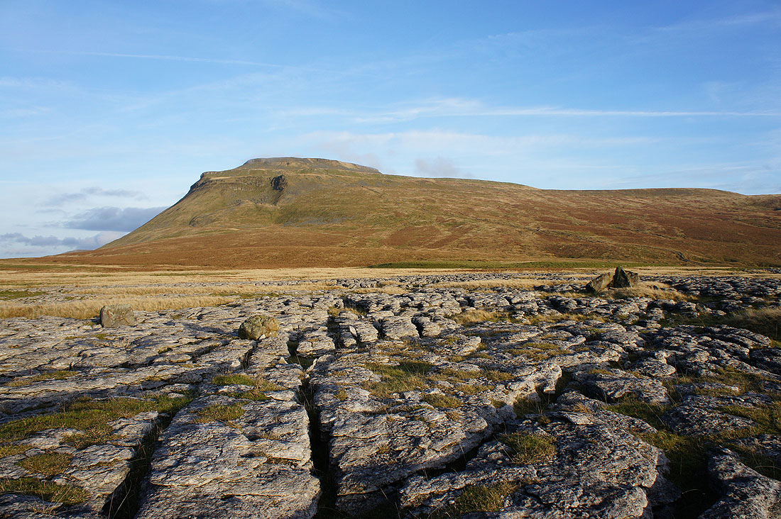
There's a great view of Ingleborough from here
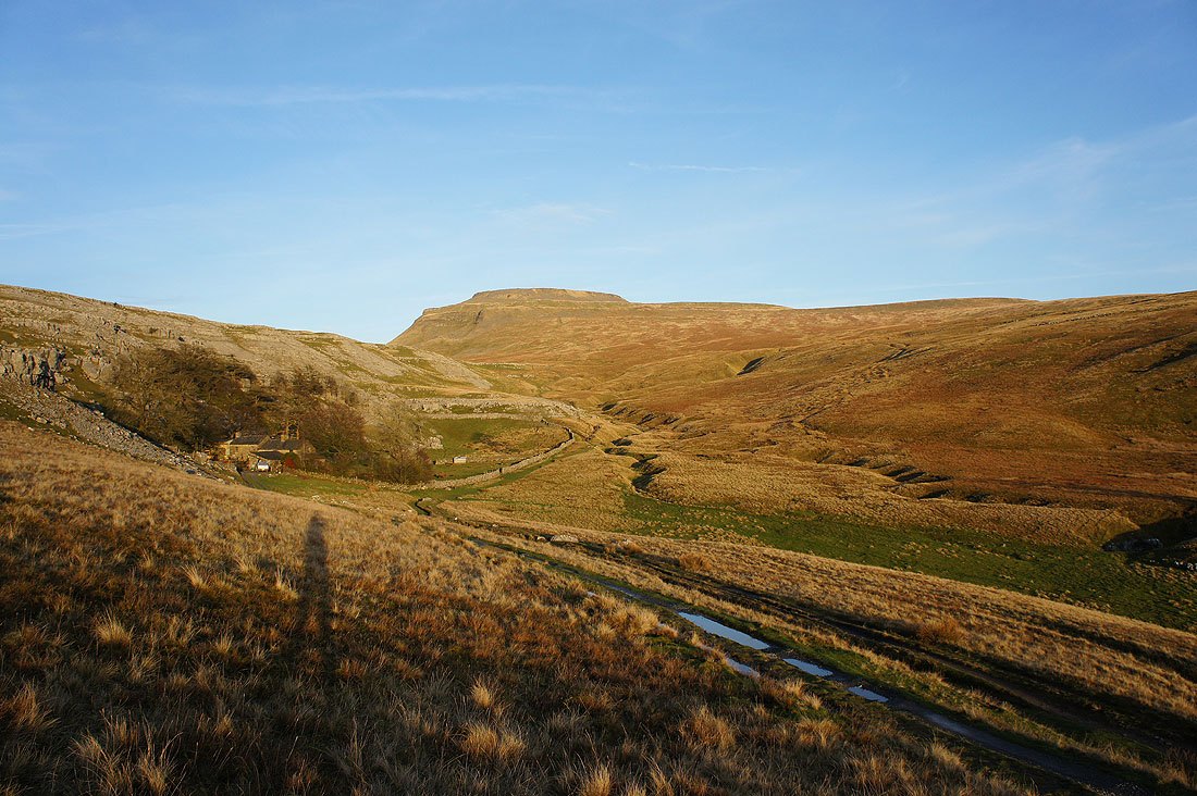
Back at Crina Bottom and what a contrast to earlier in the day
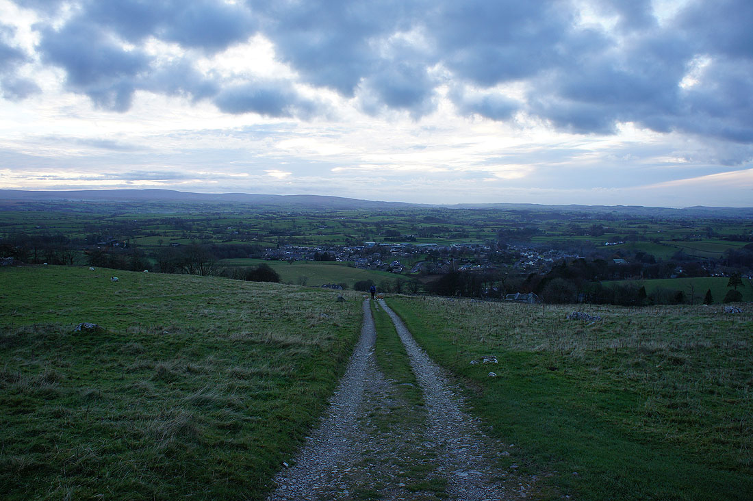
Ingleton back in sight