24th November 2019 - Beamsley Beacon
Walk Details
Distance walked: 9.3 miles
Total ascent: 1424 ft
OS map used: 297 - Lower Wharfedale & Washburn Valley
Time taken: 5 hrs
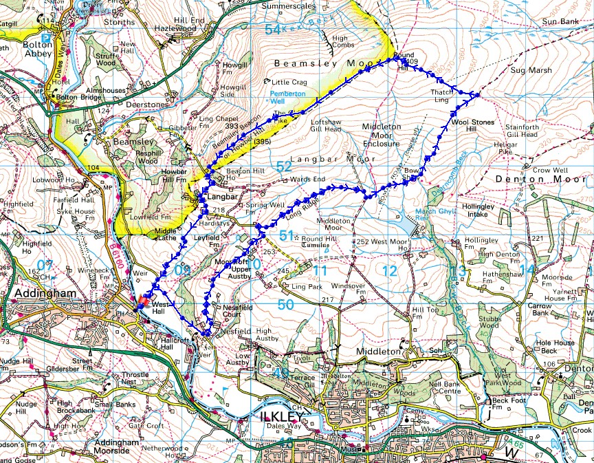
Route description: Bark Lane, Addingham-Addingham Suspension Bridge-West Hall-West Hall Lane-Nesfield-Moorcroft-Low Moor-Hardings Lane-Long Ridge-Bow Shaw-Gawk Hall Ridge-Round Hill-The Old Pike-Beamsley Beacon-Lanshaw Bank-Currer Lane-Hardings Lane-Beech House Farm-West Hall Lane-West Hall-Addingham Suspension Bridge-Bark Lane, Addingham
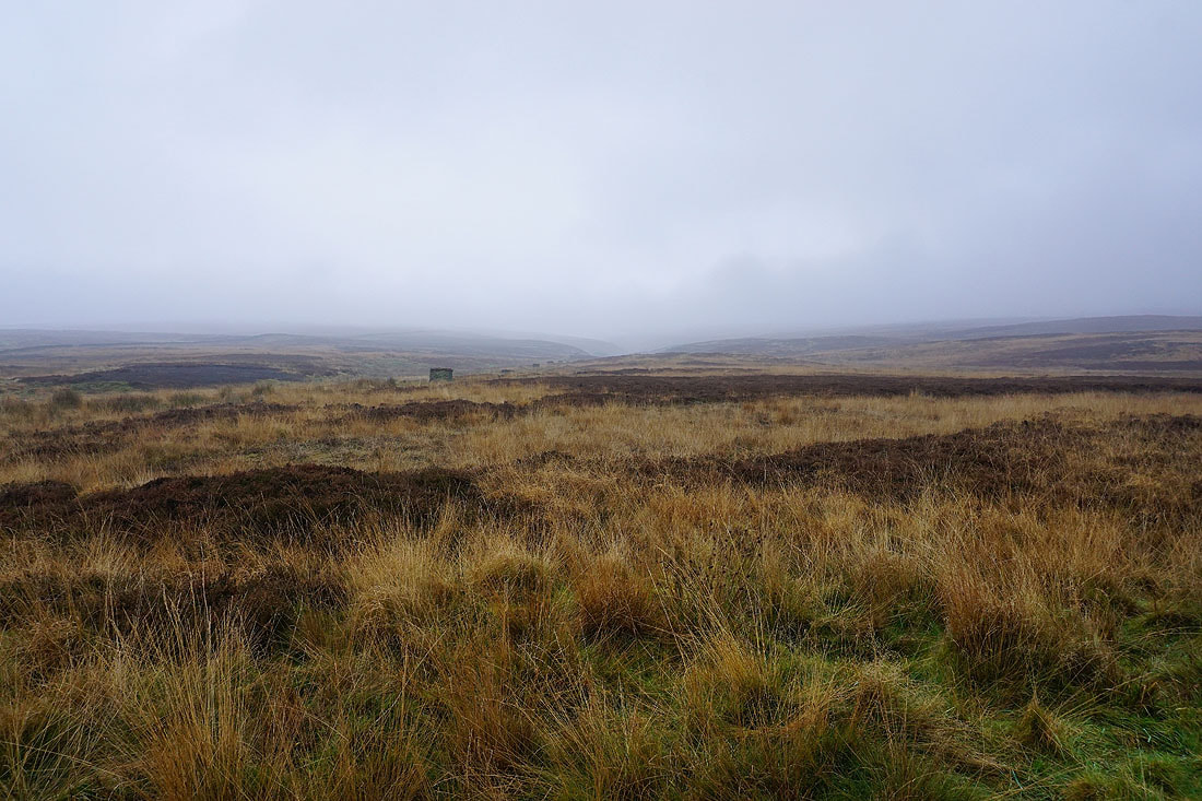
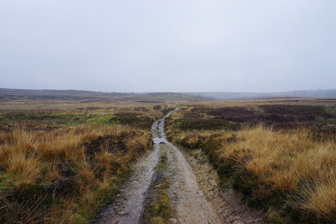
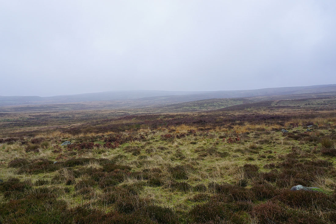
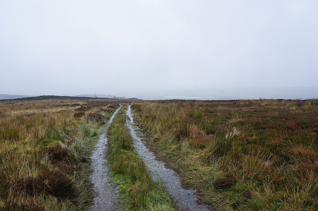
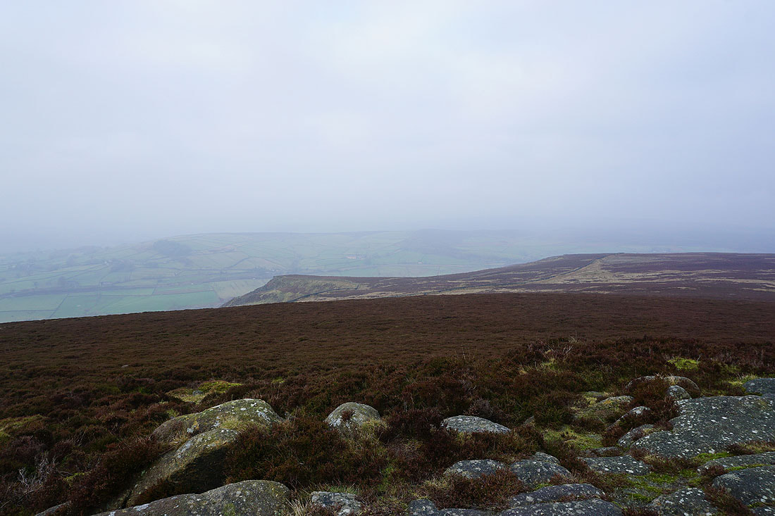
Looking for relief from the murk and gloom I decided to head east. Unfortunately I failed to find any. The route I'd decided on was Round Hill and Beamsley Beacon from Addingham, a shorter version of the one that I did for my first visit to Beamsley Beacon in December 2018. I set off from Addingham with overcast skies and mistiness, and for a while I thought things were going to get worse as the cloud descended onto the tops of the hills. Fortunately this didn't last too long and by the time I was up on the moors it had lifted. It even tried to brighten up while I was on Beamsley Beacon. The poor visibility restricted the views to the closest hills.
After parking on Bark Lane in Addingham I took the Dales Way path down to the suspension bridge over the River Wharfe. Once across I followed the footpath to West Hall and to West Hall Lane, where I turned right and walked along West Hall Lane to Nesfield. I left the road here and went up into the centre of the hamlet and took the bridleway north to Low Moor and Hardings Lane, where I turned left and walked along the lane to Moor End Farm. I then made my way east on the bridleway across Long Ridge and Foldshaw Ridge to Bow Shaw and then north up onto the moor to Gawk Hall Ridge and Gawk Hall Gate, where I took the path up to the top of Round Hill. The path west across the moor to The Old Pike and Beamsley Beacon was followed and I then descended to the lane of Lanshaw Bank below. I turned left and walked down the road until I reached Beech House Farm and the bridleway down to West Hall Lane. I followed this south as an enclosed path and then down through fields. Once on West Hall Lane there was a short walk south to West Hall, and from there I retraced my steps to Bark Lane in Addingham.
Route map
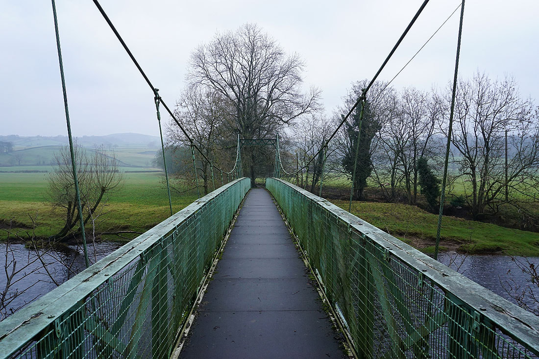
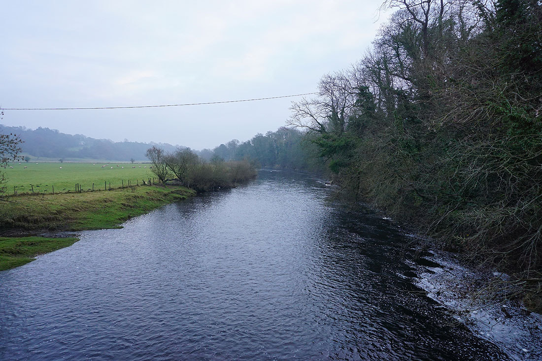
Across the suspension bridge over the River Wharfe from Addingham
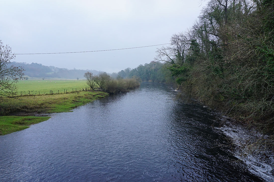
Looking downstream..
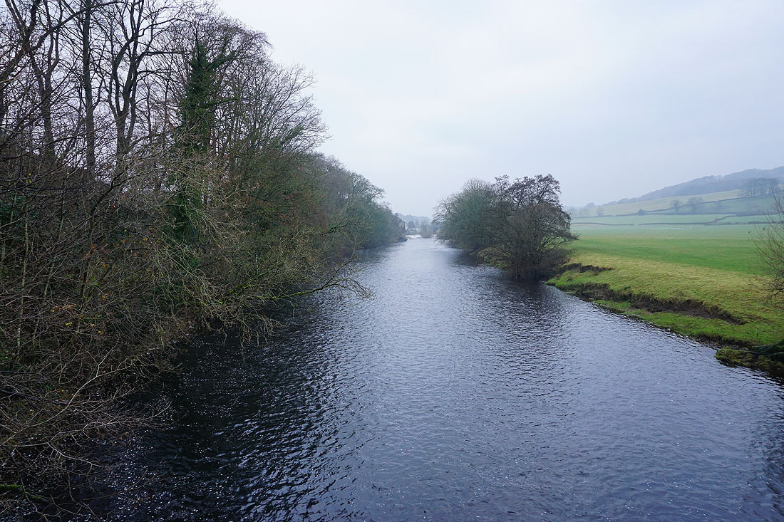
..and upstream
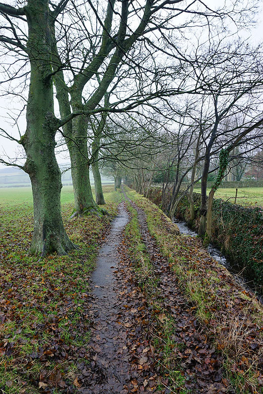
On the path to West Hall by West Hall Beck
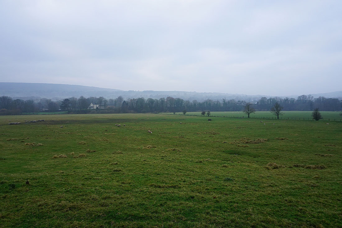
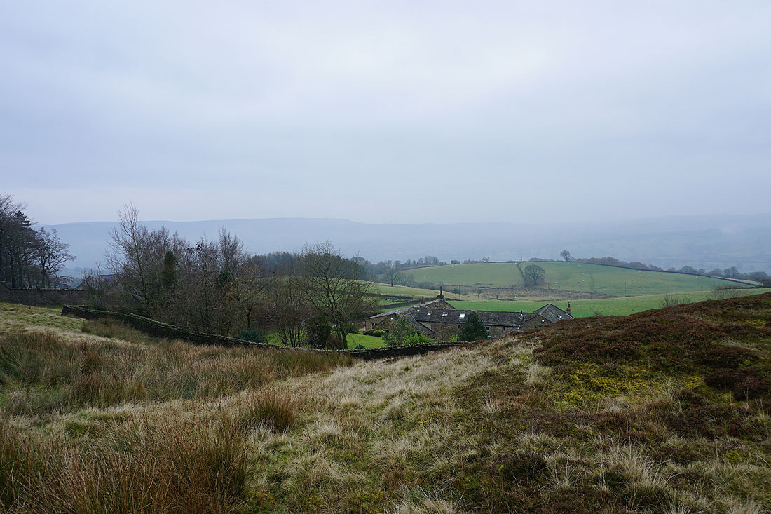
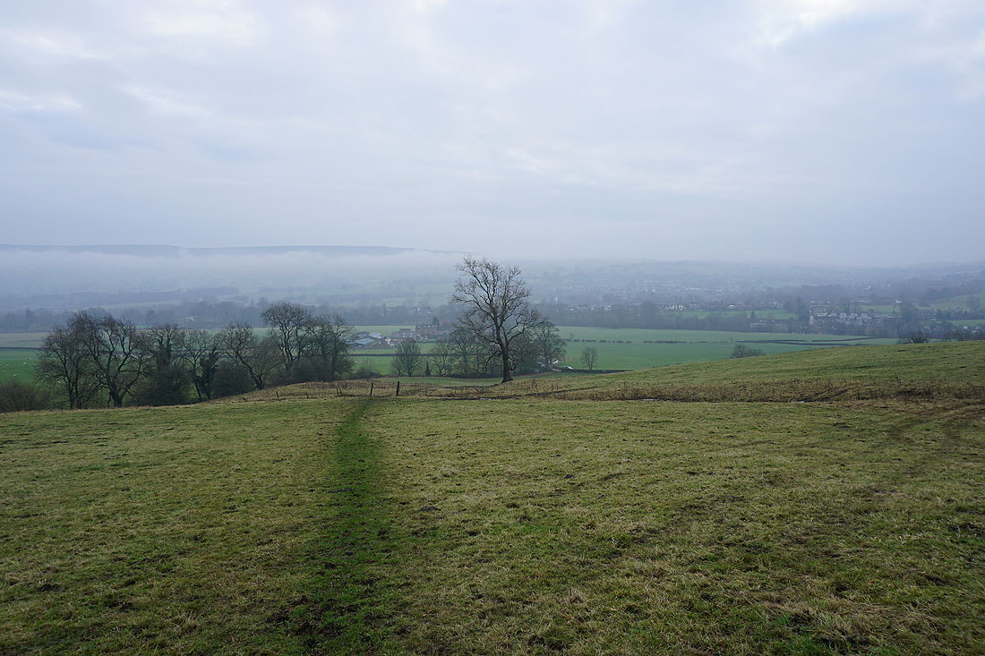
A grey and murky morning in Wharfedale
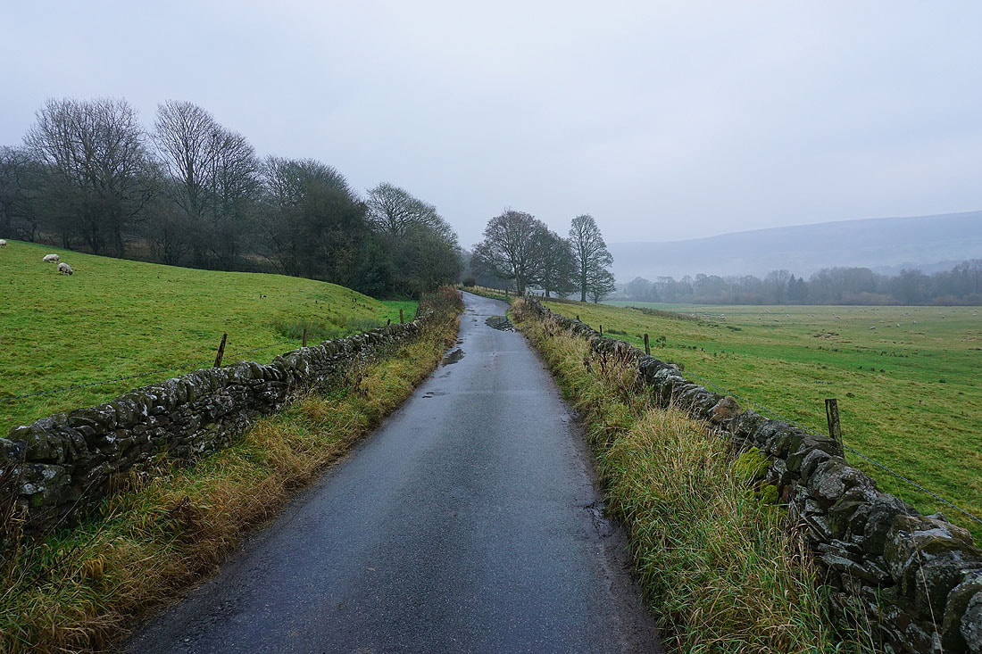
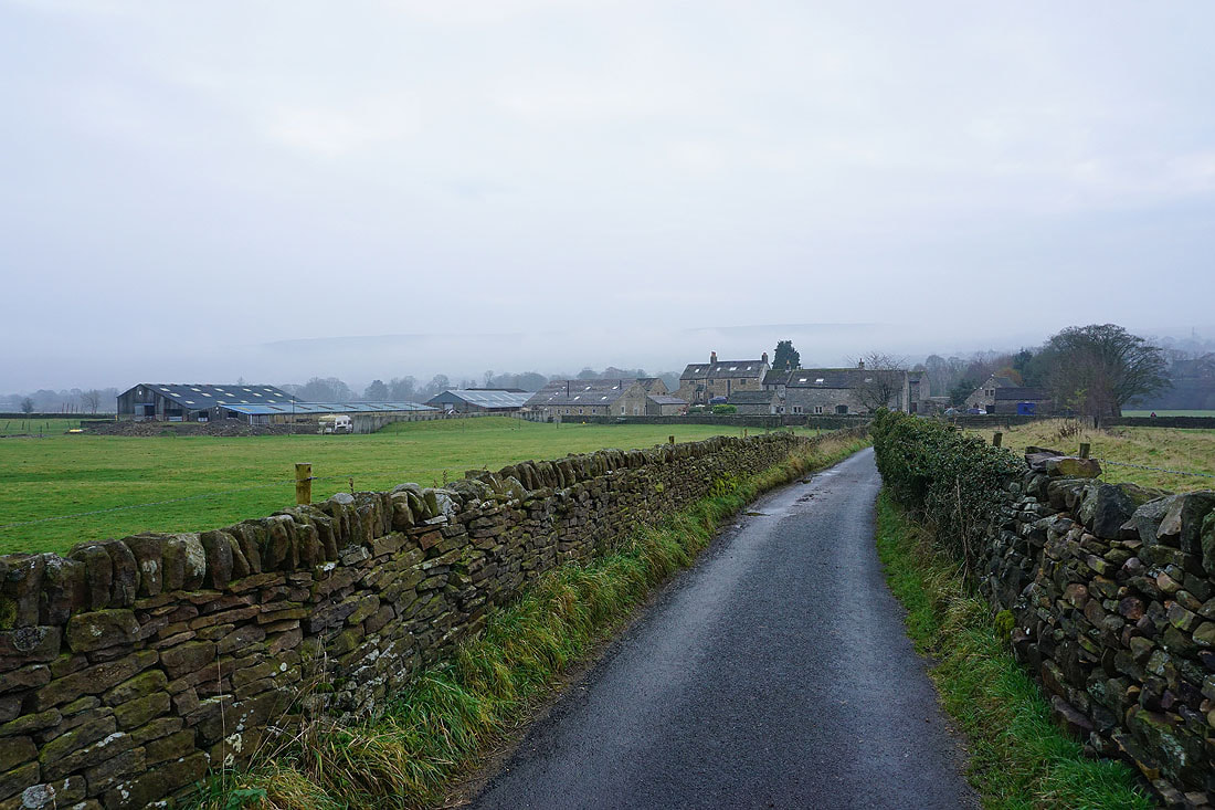
Walking along West Hall Lane to Nesfield
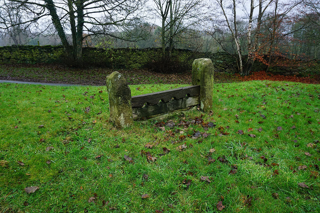
Stocks on the green in Nesfield
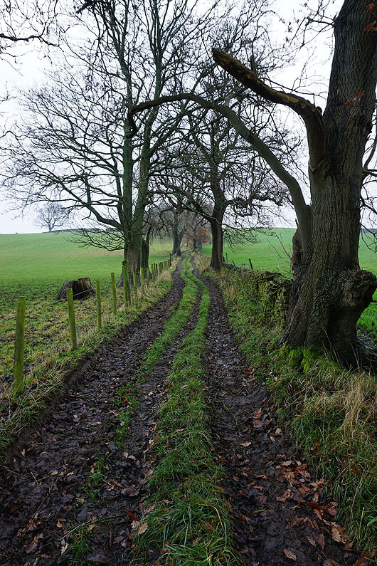
Following the bridleway from Nesfield up to Low Moor..
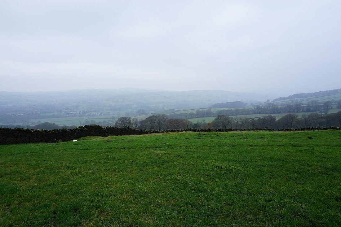
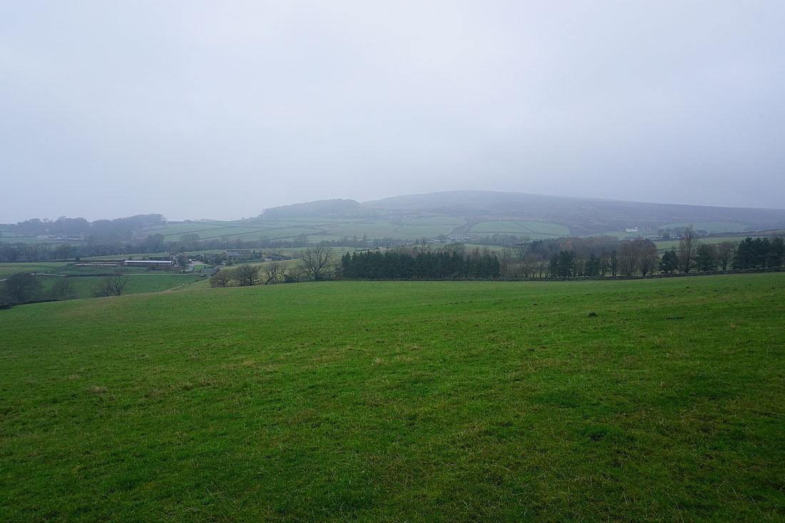
Looking across Wharfedale to Addingham Low Moor
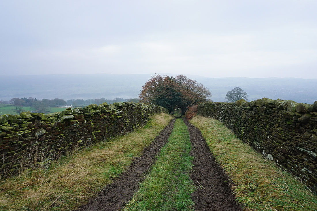
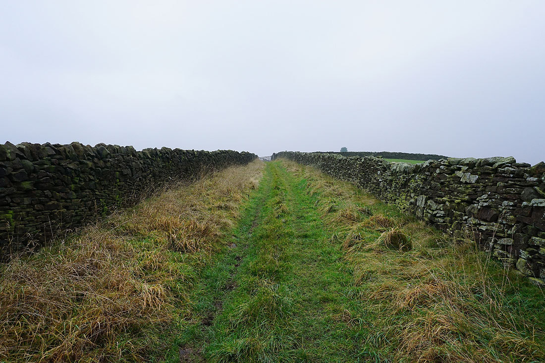
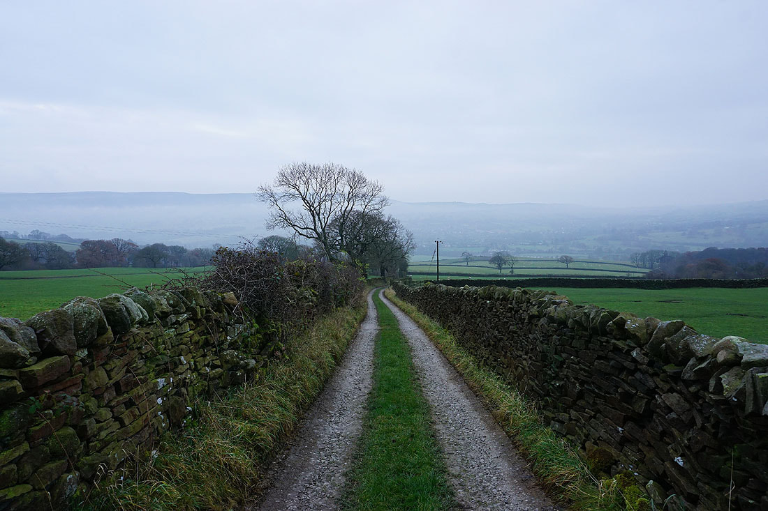
Higher up and the bridleway is enclosed by walls..
A misty Beamsley Beacon
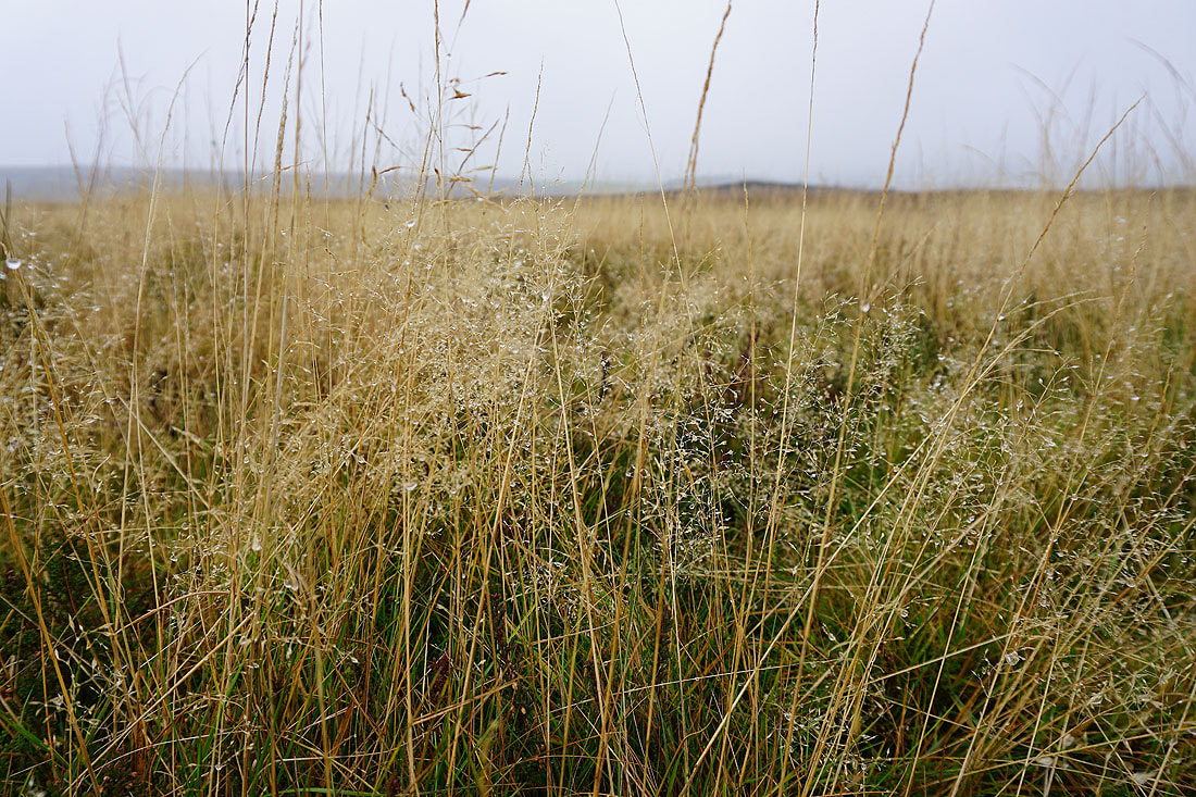
Even on a dull morning the moorland grass adds some colour
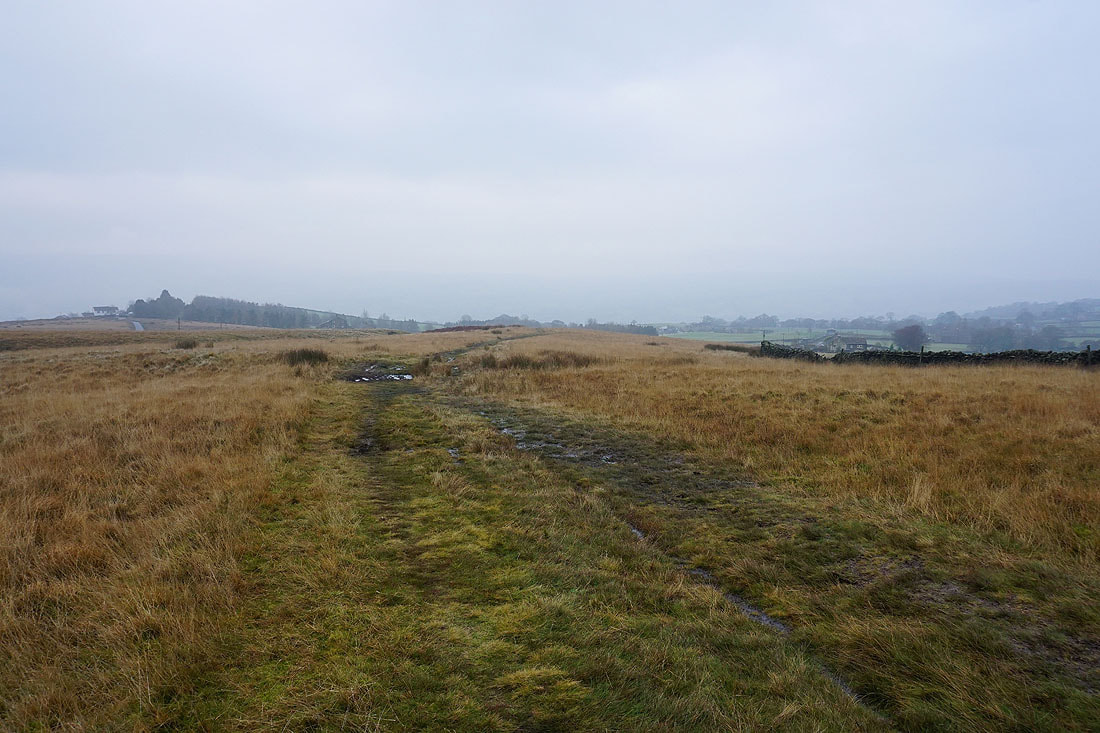
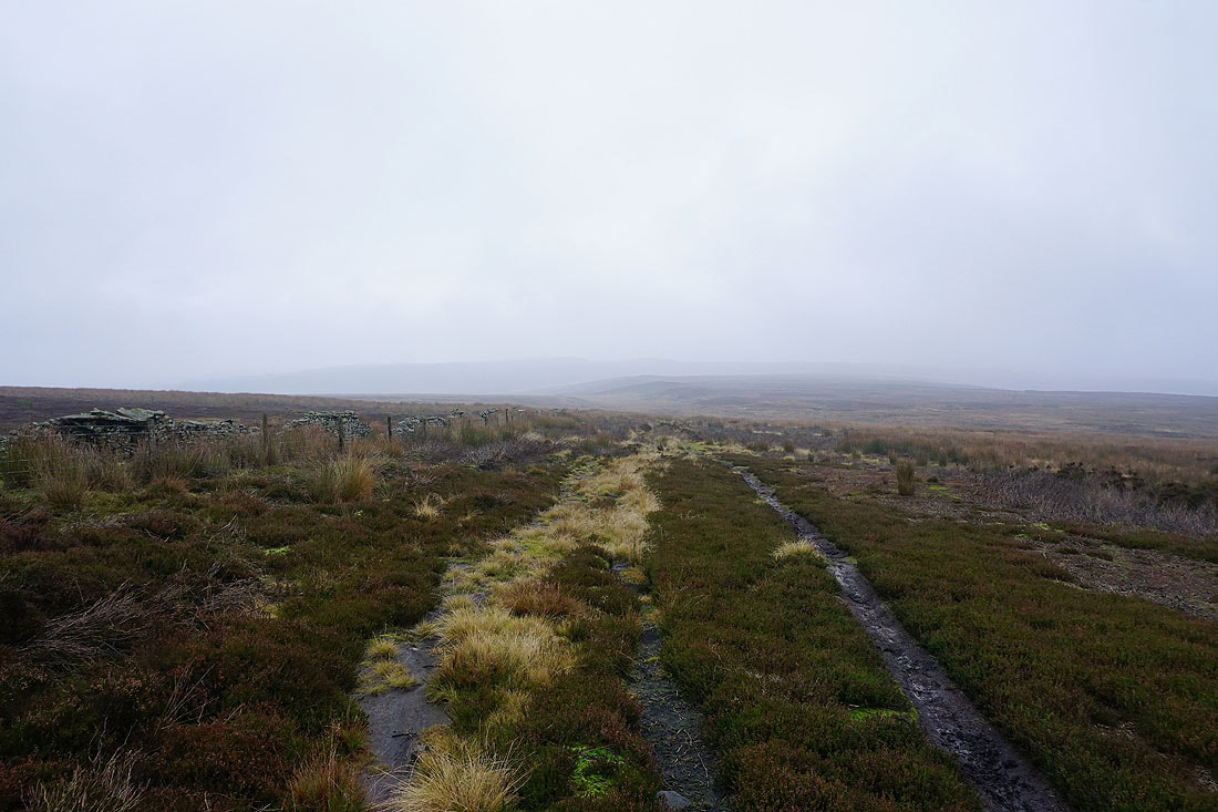
Following the bridleway east along Long Ridge...
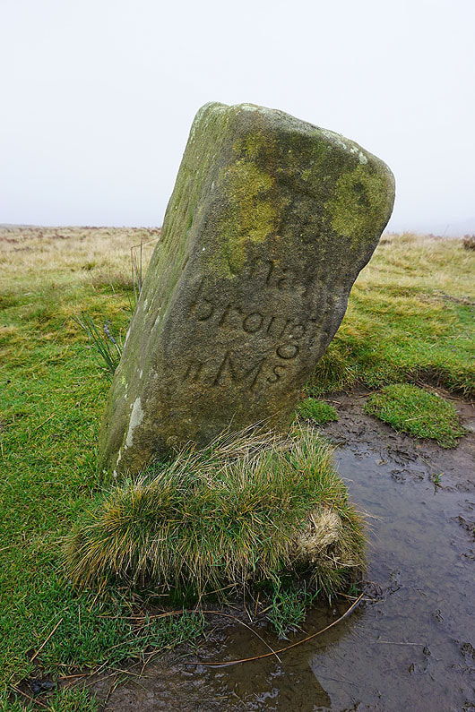
A milestone for Knaresborough
March Ghyll Reservoir below
Langbar Moor
Continuing on the bridleway east below Middleton Moor Enclosure
Middleton Moor Enclosure as I follow the bridleway up to Gawk Hall Gate
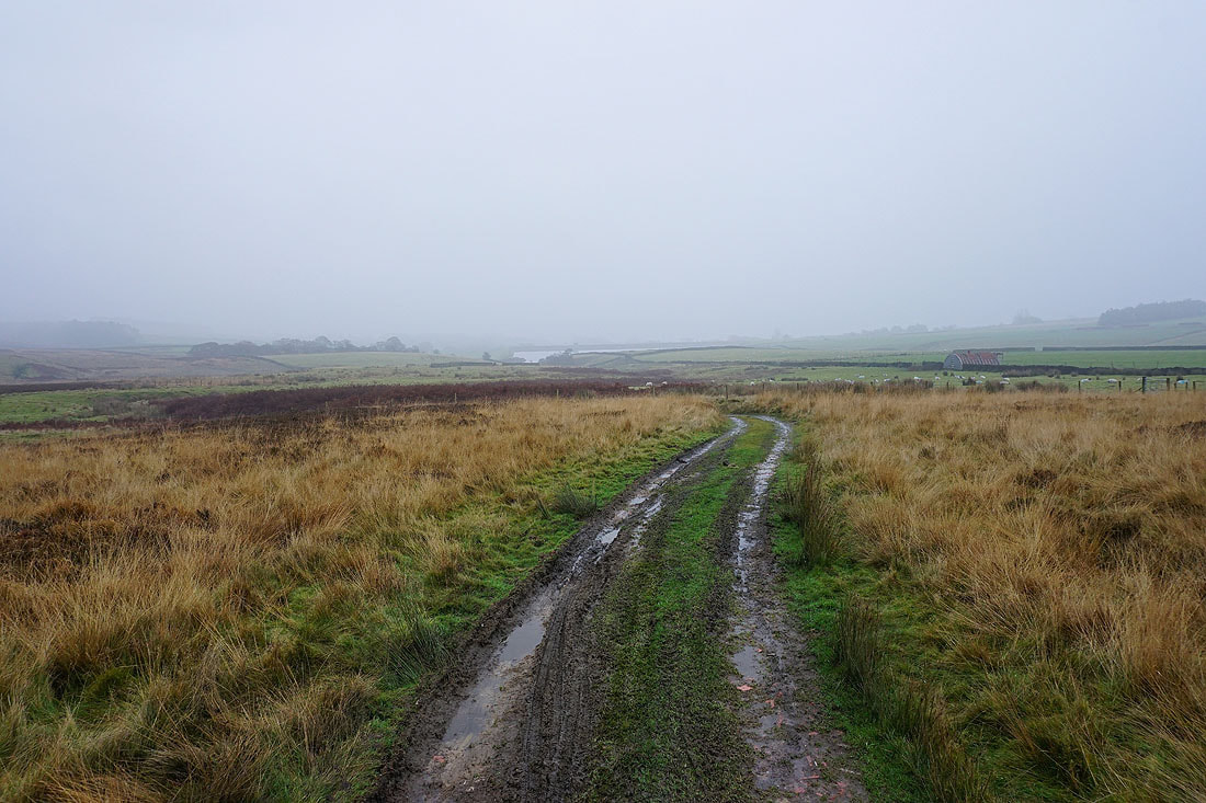
Looking back down to March Ghyll Reservoir
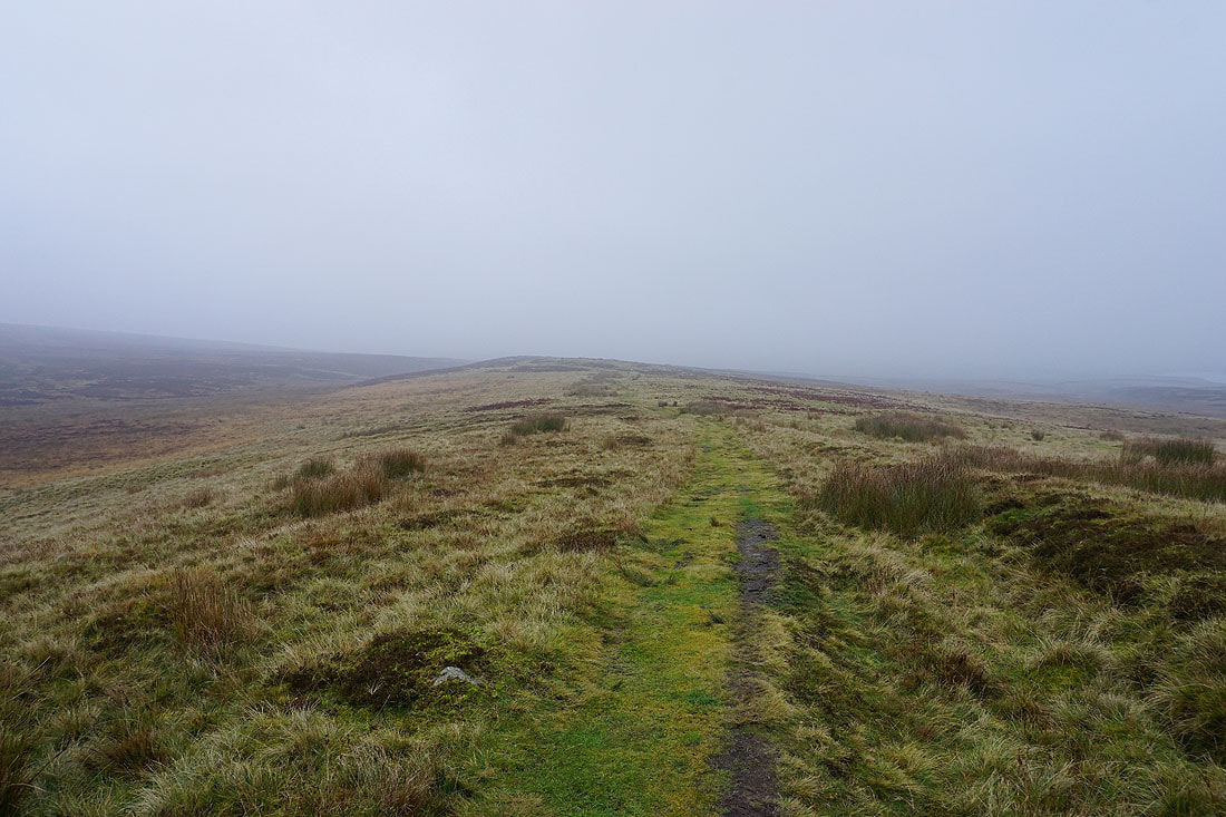
The grass is sopping wet with all the rain and mistiness
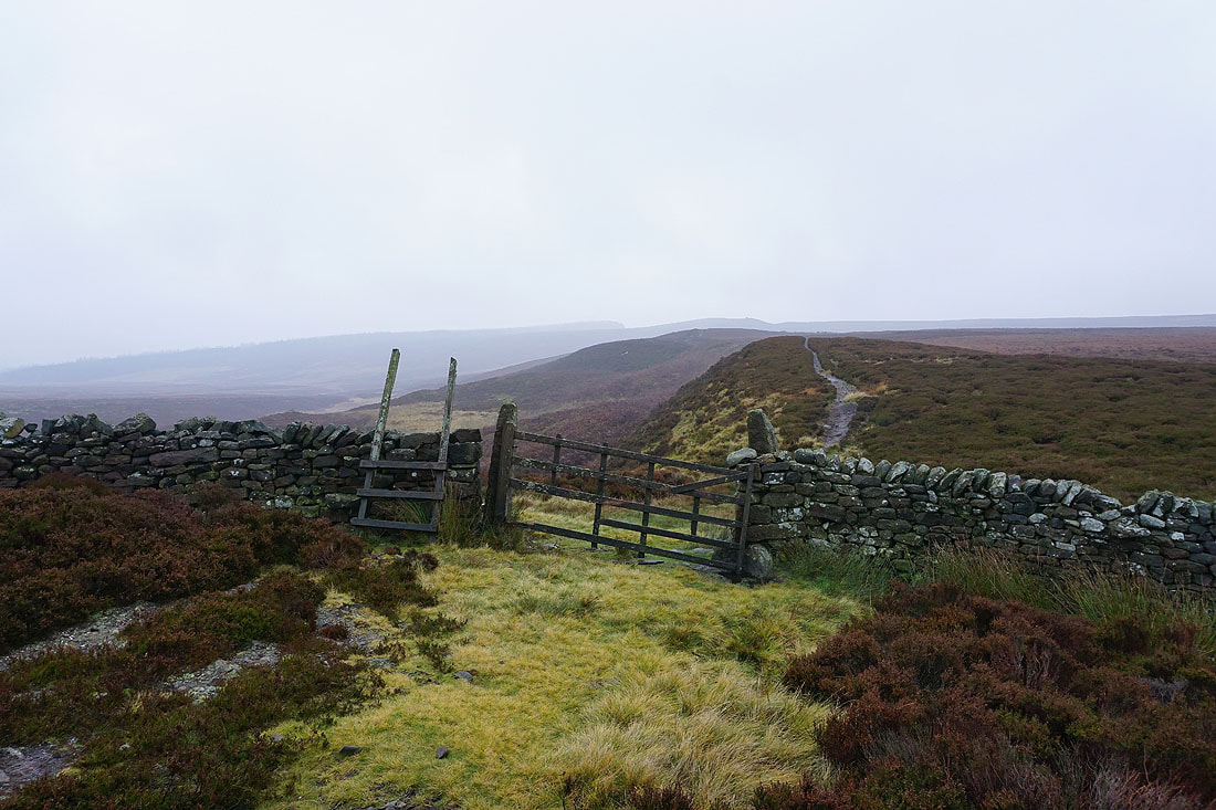
At the top of the bridleway at Gawk Hall Gate
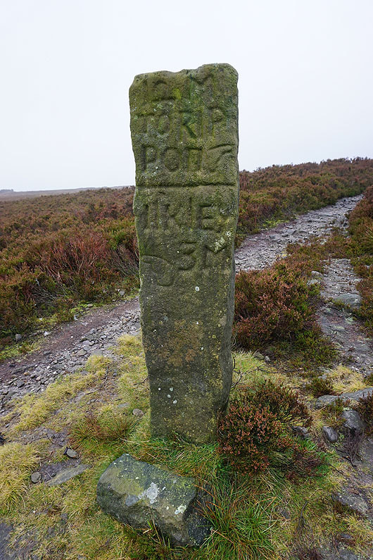
A milestone to Ilkley and Ripon near Gawk Hall Gate
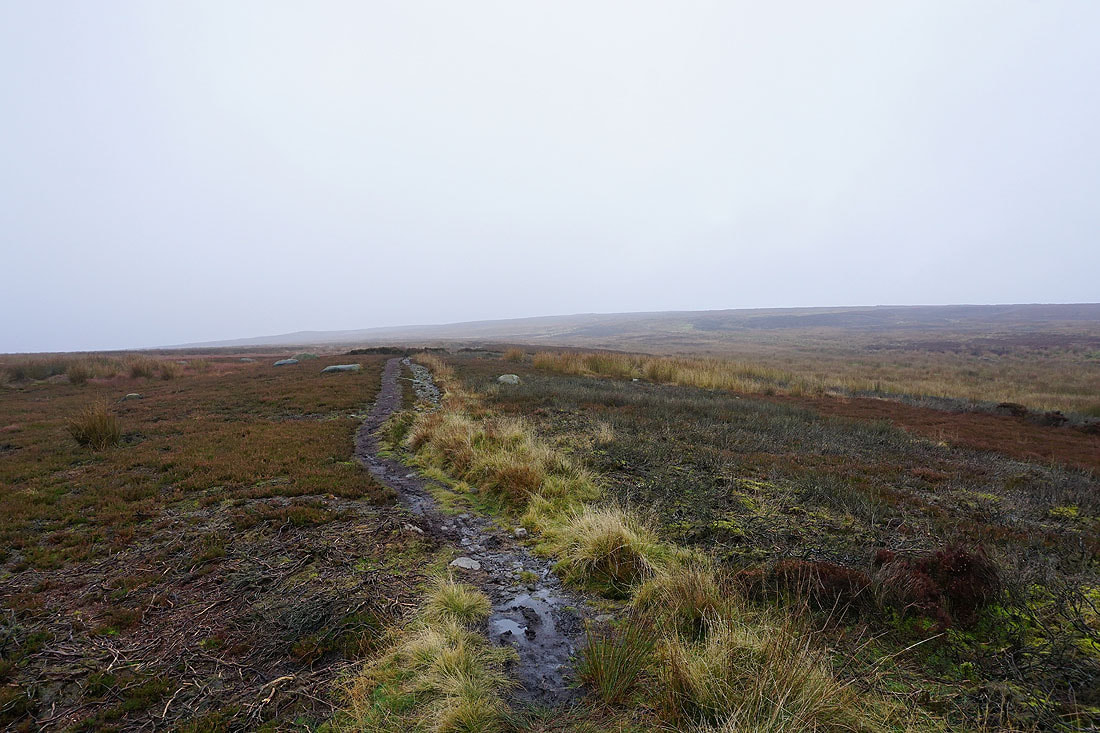
On the path up Round Hill, which was very boggy in places
Looking back east towards Lippersley Pike
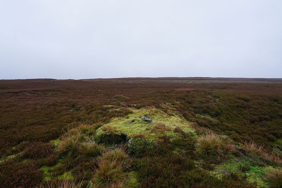
A few stones mark the top of Round Hill
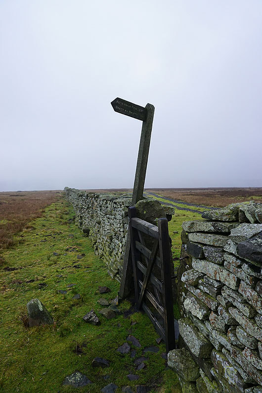
The sign points the way to Beamsley Beacon
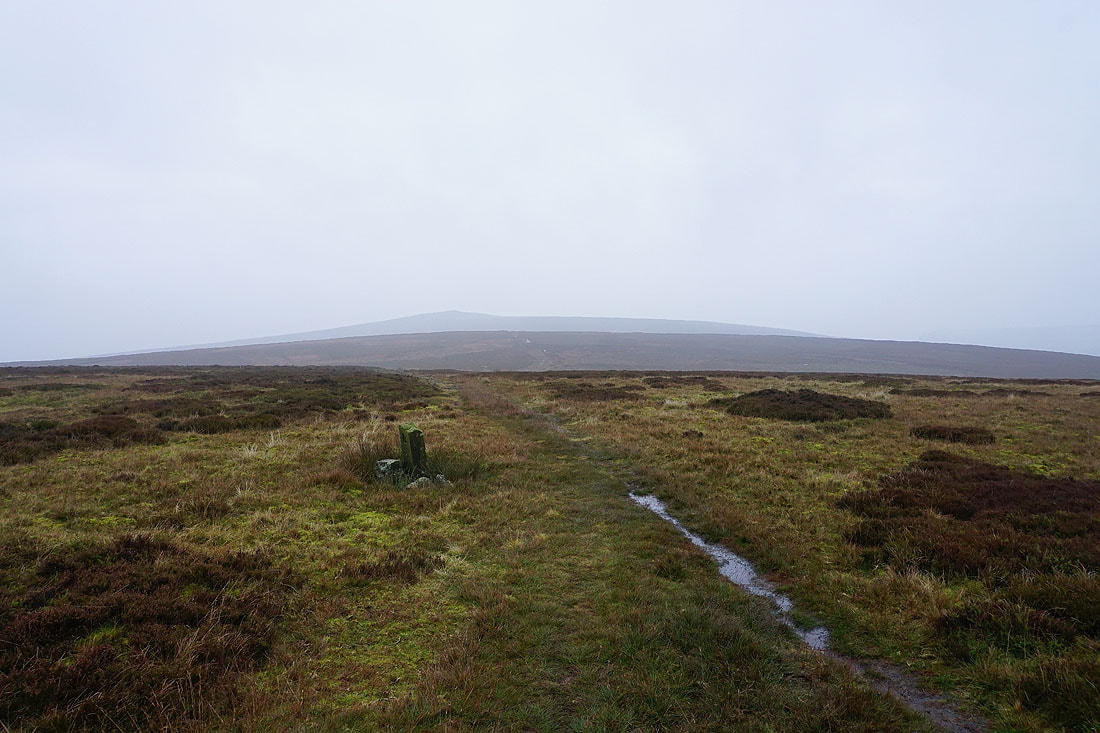
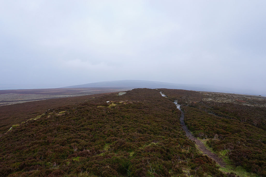
Heading for Beamsley Beacon. Thankfully the visibility has improved enough for me to see it.
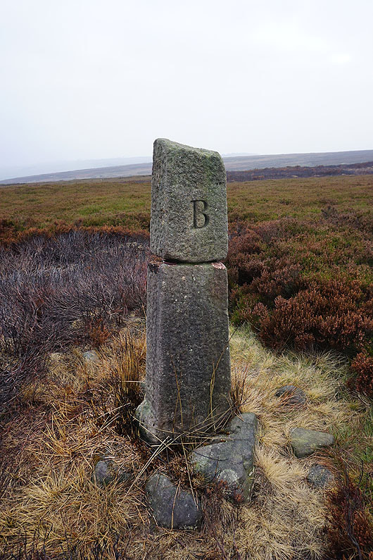
Past a boundary stone
March Ghyll Reservoir below Langbar Moor
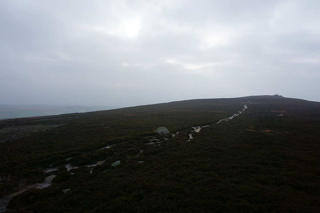
Looking back to Round Hill from The Old Pike
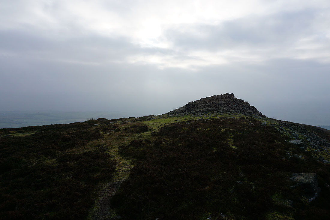
The large cairn on Beamsley Beacon on the right
Looking north across the A59 to the moorland of Barden Fell
The sun tries to break through the cloud as I arrive on Beamsley Beacon
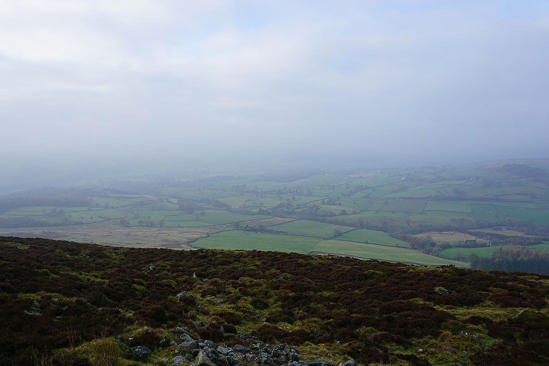
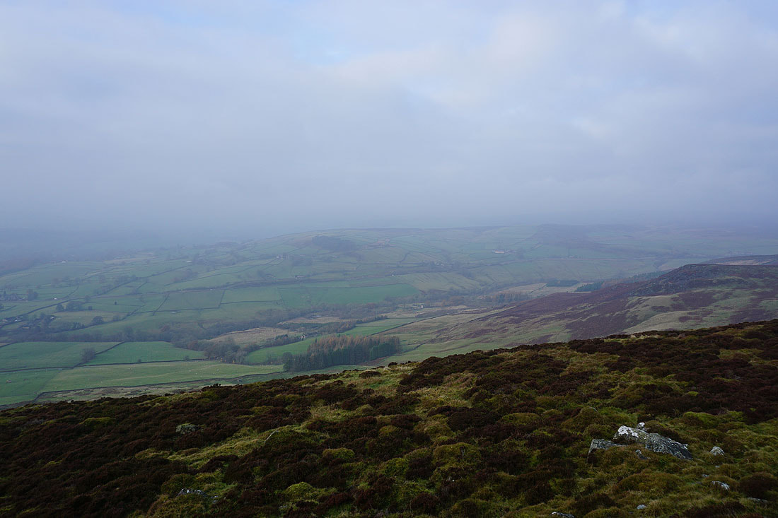
It may be a bit brighter but the visibility hasn't really improved. Looking down on Wharfedale around Bolton Bridge.
Hazlewood Moor on the other side of the A59
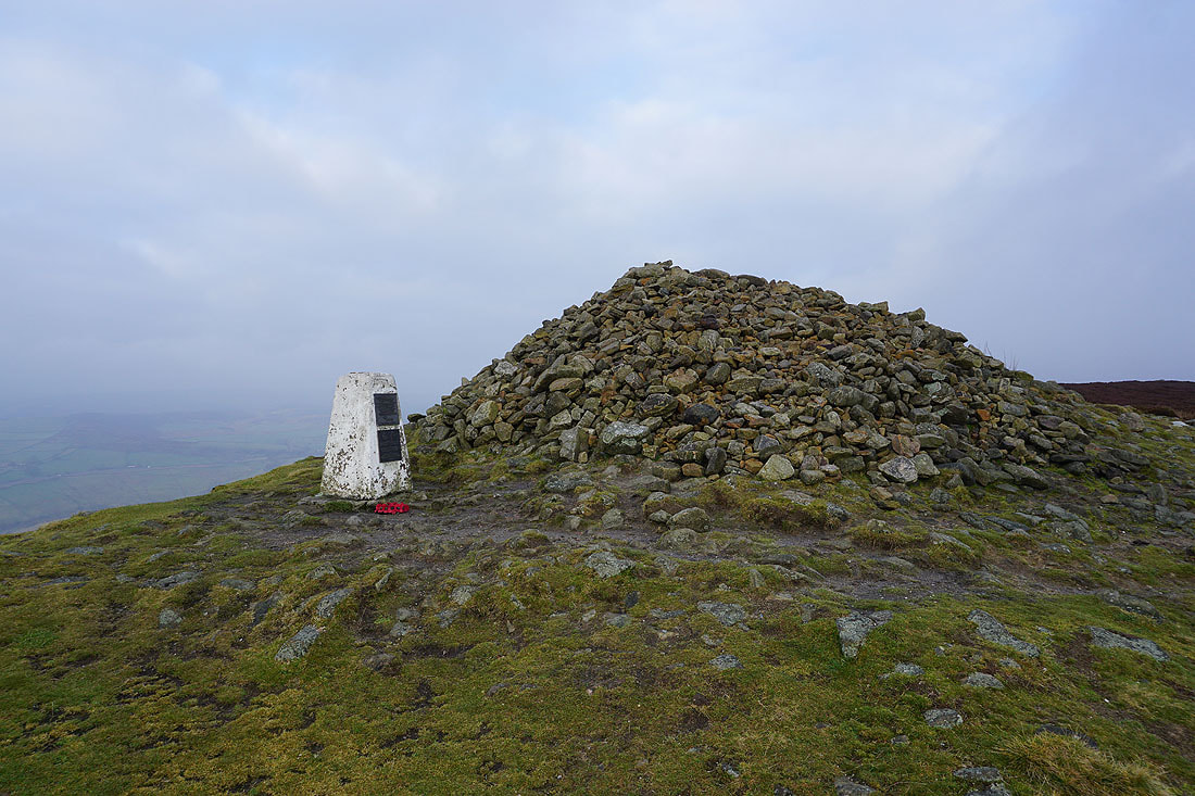
The trig point and very large cairn on Beamsley Beacon
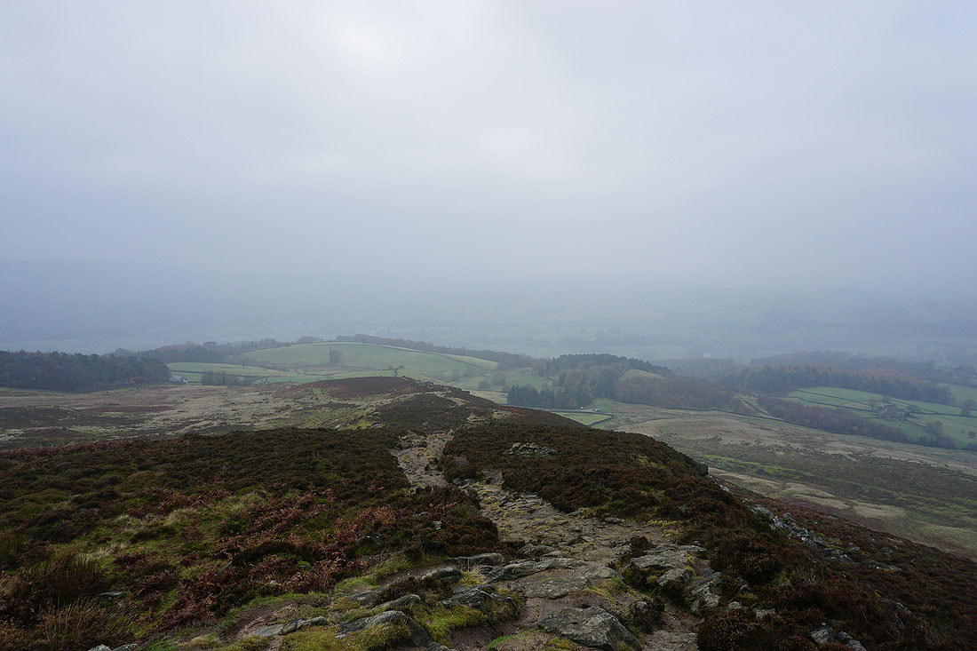
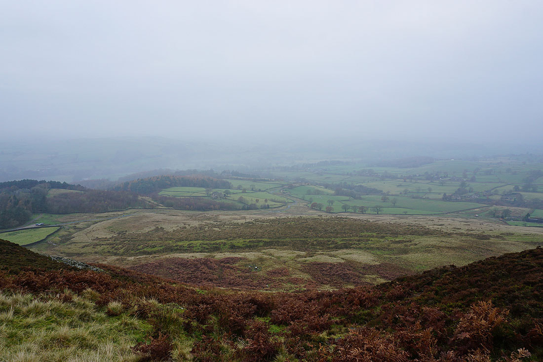
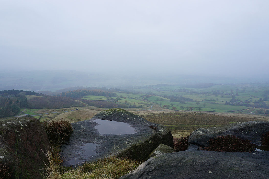
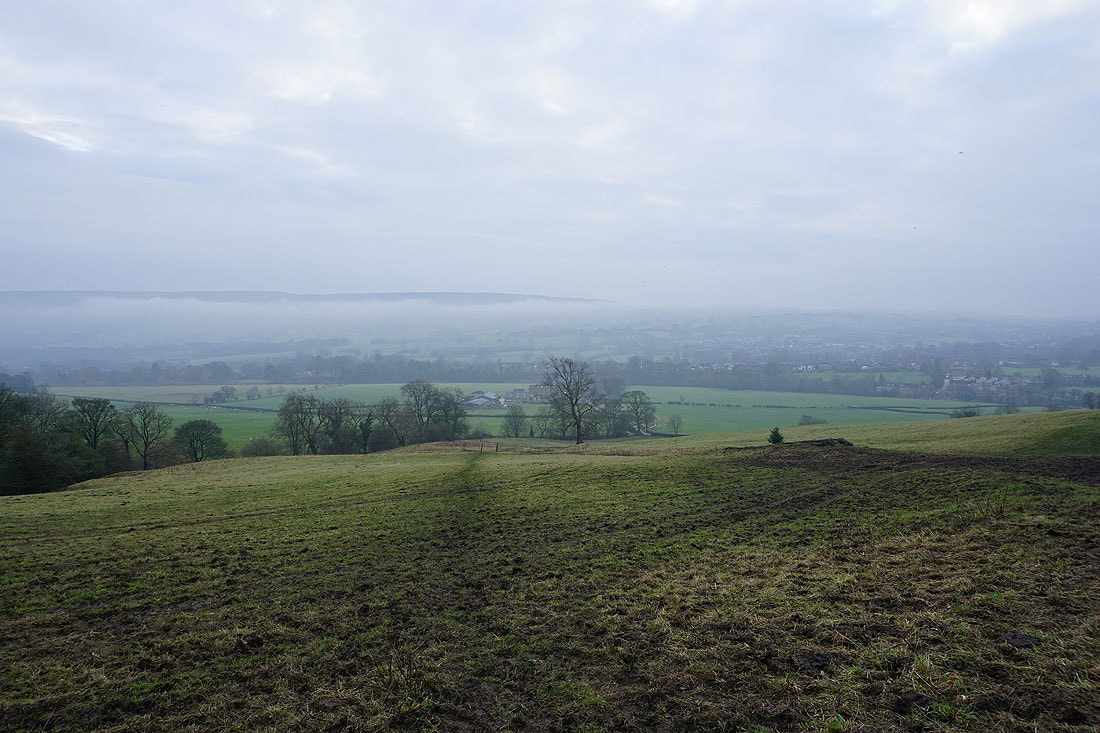
A few more photos of Wharfedale as I head down to Beacon Hill House...
Beacon Hill House below
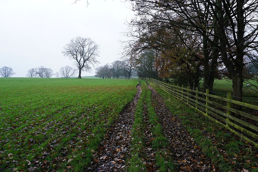
Following the bridleway from the lane below Beamsley Beacon down to West Hall Lane....
On the lane to West Hall
Back across the River Wharfe to Addingham
