24th September 2017 - White Hill and Blackstone Edge
Walk Details
Distance walked: 11.7 miles
Total ascent: 1835 ft
OS map used: OL21 - South Pennines
Time taken: 6 hrs
Route description: Hollingworth Lake-Rakewood-Pennine Bridleway-Tunshill Lane-Windy Hills-Windy Hill-Pennine Way-A672-Pennine Way-White Hill-Pennine Way-A672-Pennine Way-Blackstone Edge-Lydgate-Pennine Bridleway-Hollingworth Lake
After my walk in the Howgills last weekend somewhere much closer to home today. It's close to three years since I was last on Blackstone Edge so I decided to head for Hollingworth Lake to do a route that would take in some new ground as well as the edge. I used to drive the stretch of the M62 across the Pennines quite often for my last job so the hills around it have a certain familiarity, after today I know them much better. Since I was in the neighbourhood I thought that I'd bag the summit of White Hill by using the Pennine Way to do a there and back to its top. I was expecting the skies to cloud over at some point in the afternoon so I set a quick pace after setting off to get up onto the moors while the sun was still out. In the end the best weather of the day was while I was on Blackstone Edge. I spent the best part of hour enjoying the warm sunshine.
From the car park and visitor centre at Hollingworth Lake I followed the road south by the lake to its end at Rakewood to take the Pennine Bridleway beneath the Rakewood Viaduct. I kept on the Pennine Bridleway up and across Longden End Clough to reach the path of Tunshill Lane, which I followed east up the side of Nicholas Pike to a junction of bridleways. Here I turned left and took the bridleway signposted for Windy Hill that follows the ridge of Windy Hills that separates Longden End Clough and Piethorne Clough. At its top at the communication mast on Windy Hill I joined the Pennine Way. First, I followed it southeast to the summit of White Hill before returning north to cross the M62 and reach the summit of Blackstone Edge. After enjoying the views from the edge I followed the Pennine Way north to where it's crossed by the Old Packhorse Road at the Aiggin Stone. Here I turned left and followed the track down to the A58 and a footpath down to Lydgate. I then used the Pennine Bridleway to return to Hollingworth Lake and the car park.
Route map
© Crown copyright. All rights reserved. License number PU 100034184.
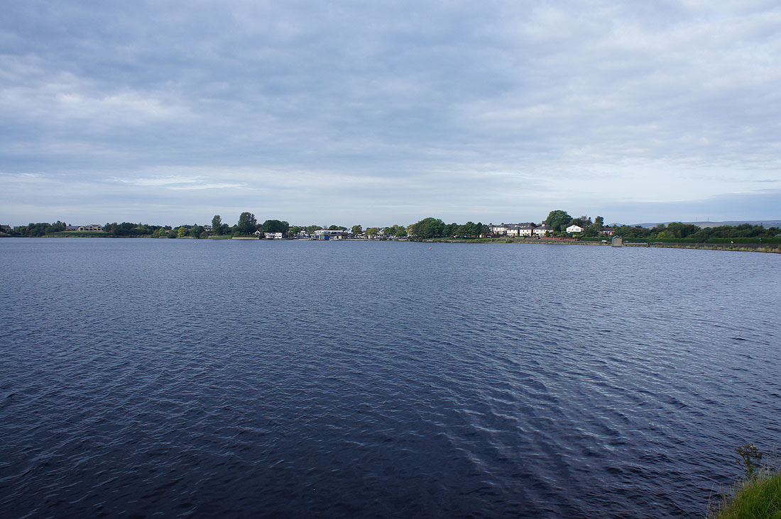
A fine morning at Hollingworth Lake as I set off
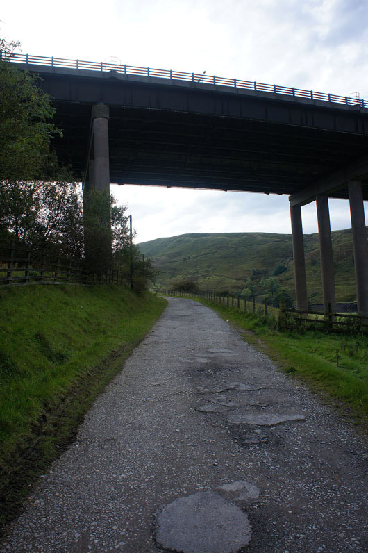
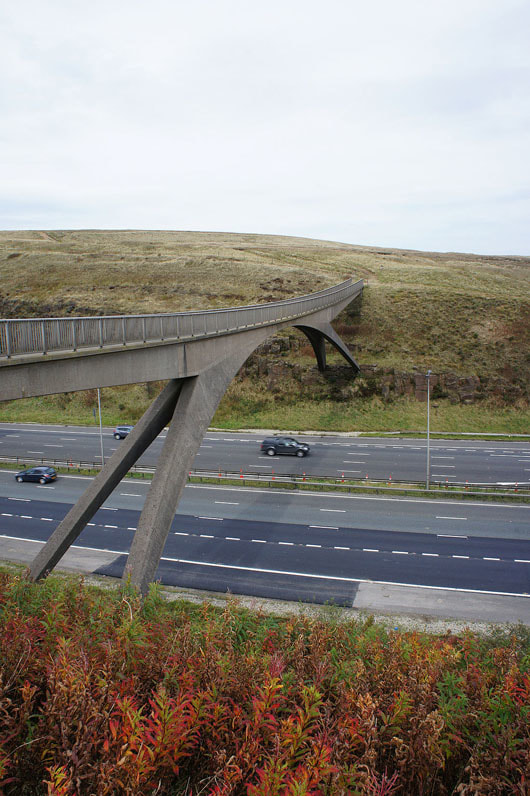
On the Pennine Bridleway beneath the Rakewood Viaduct that carries the M62
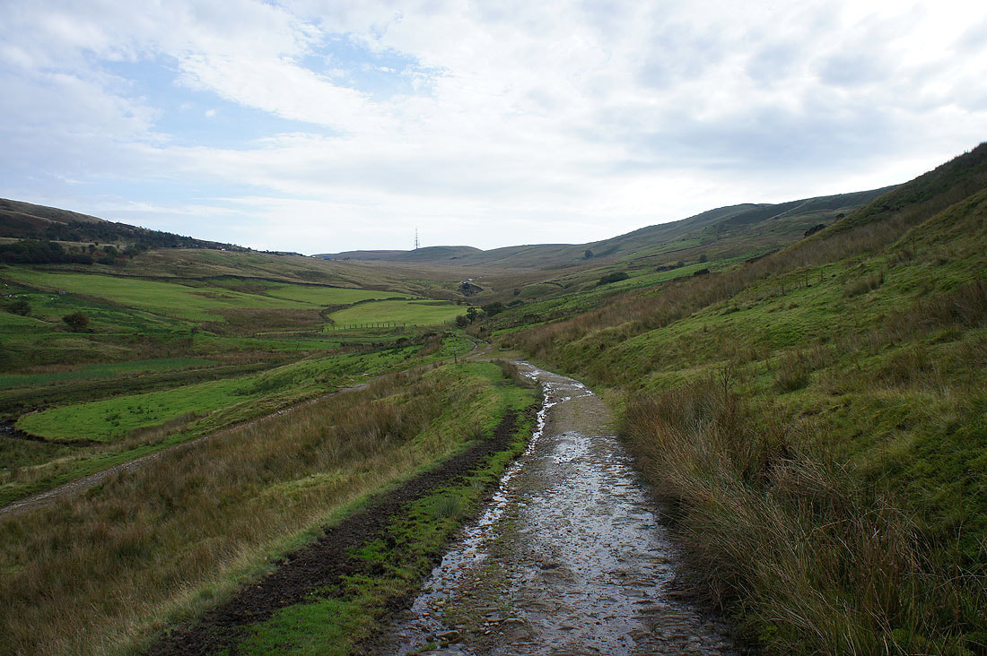
Looking up Longden End Clough as the Pennine Bridleway loops back on itself
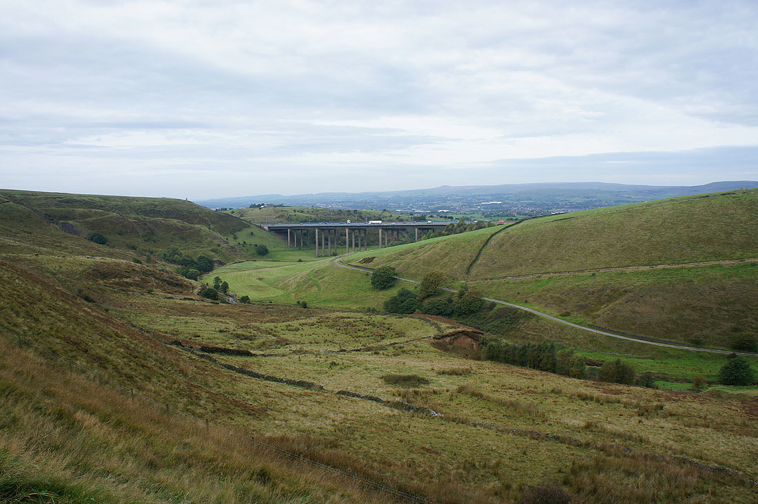
Longden End Clough and the Rakewood Viaduct
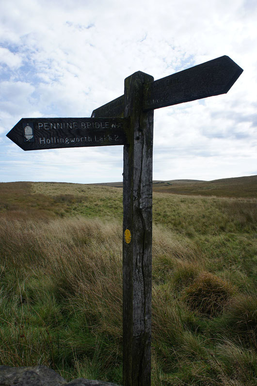
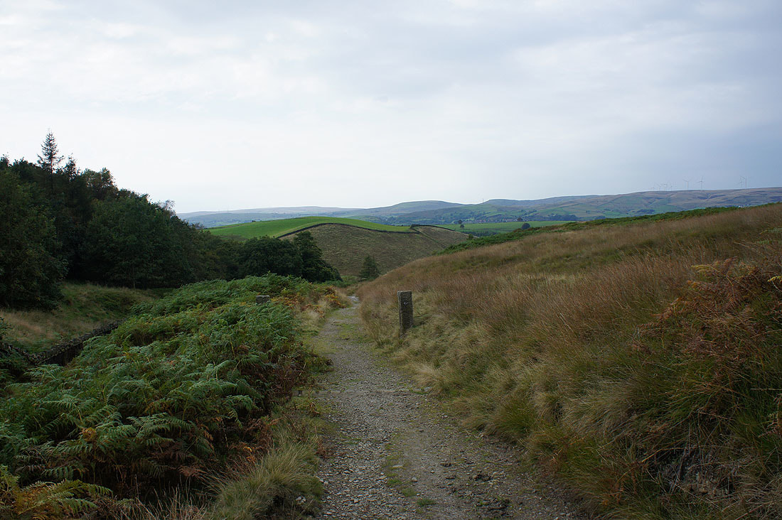
At a junction of bridleways and I'm taking the one that's pointing away from me, signposted for Piethorne Reservoir
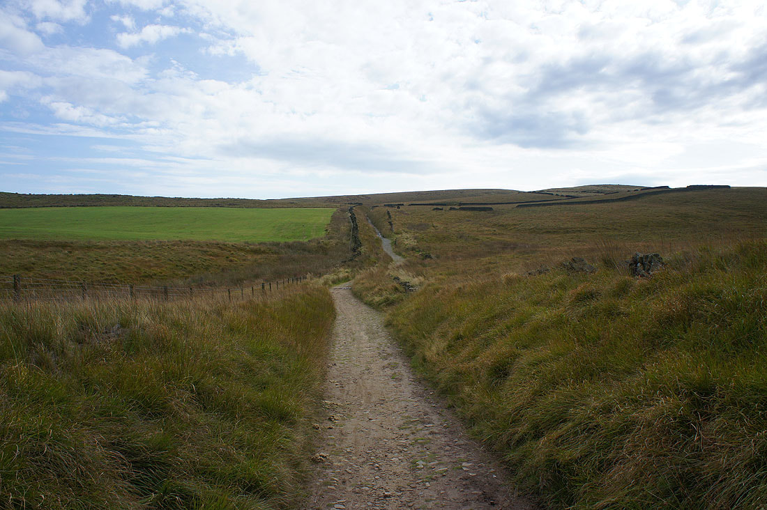
On the path of Tunshill Lane
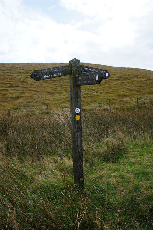
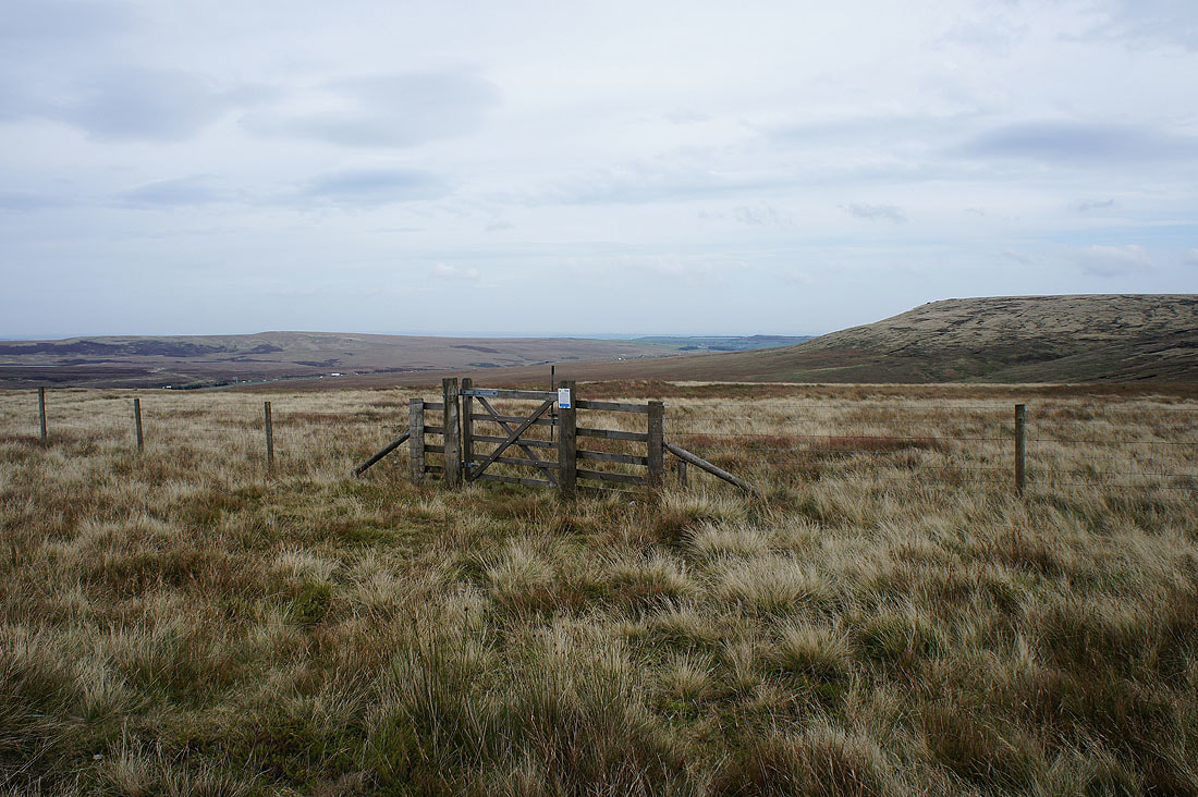
Another junction and this time it's left for Windy Hill

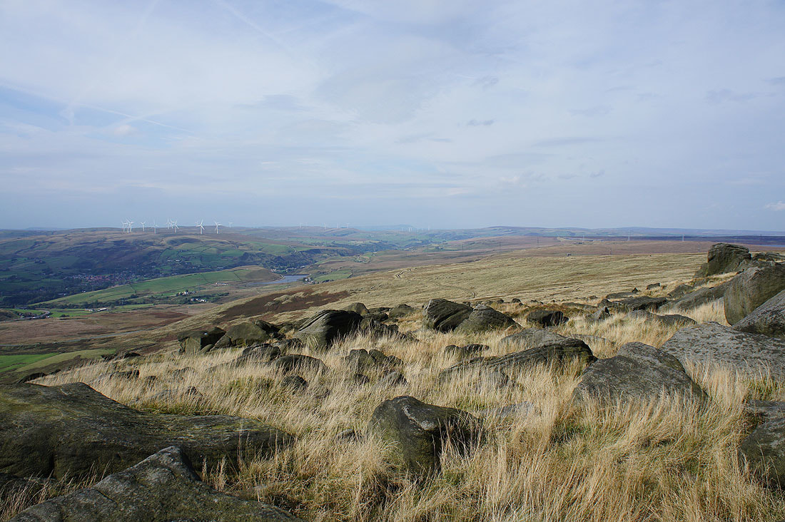
On the ridge to Windy Hill. The M62 isn't far away on the other side of Longden End Clough, the noise from it isn't as intrusive as I thought it would be.
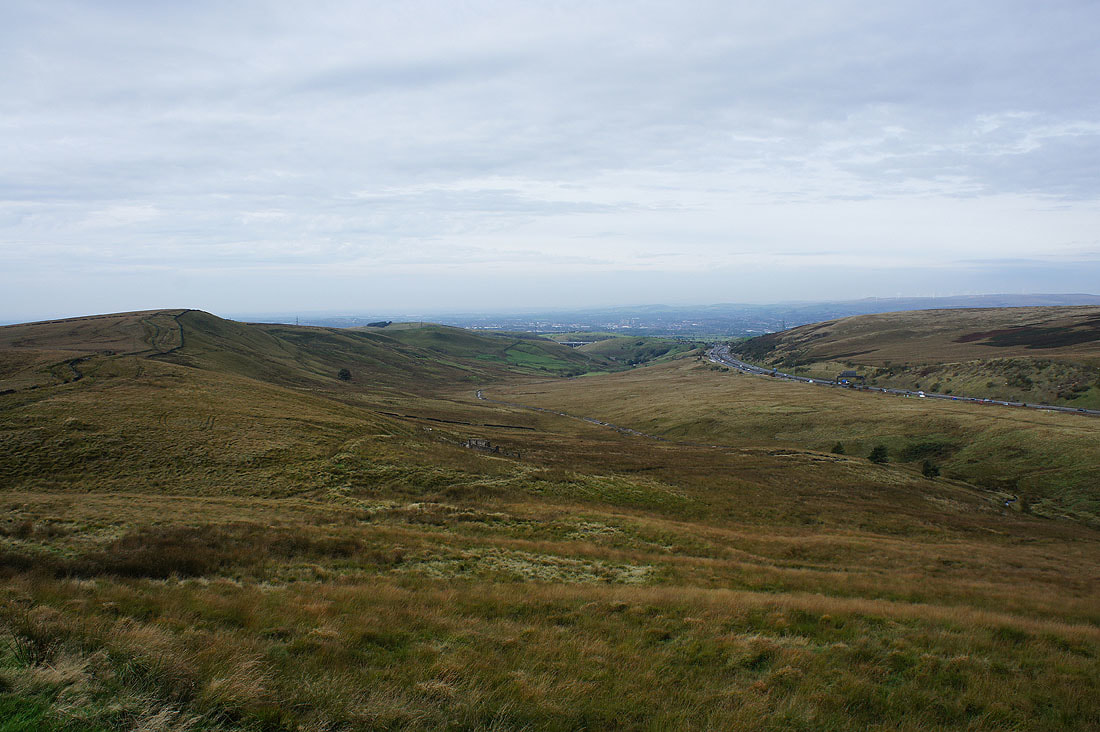
Looking back down Longden End Clough
The southern end of Blackstone Edge on the other side of the M62
Piethorne Clough on the other side of the ridge to Windy Hill
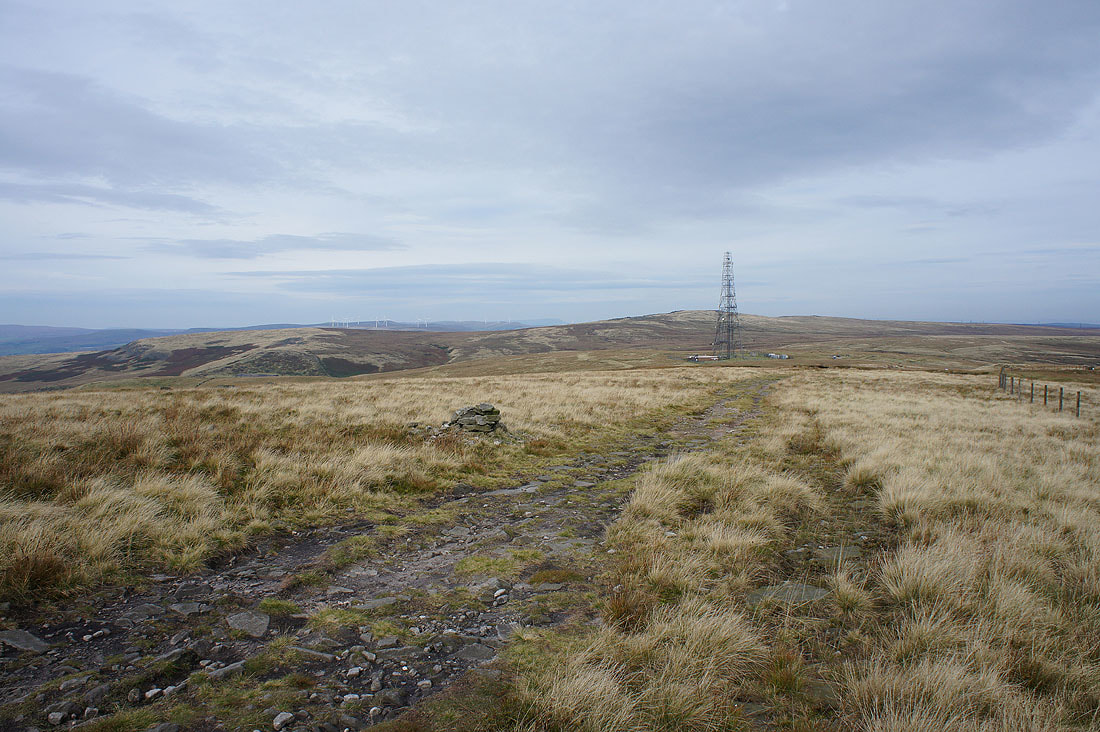
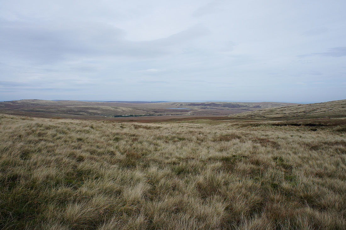
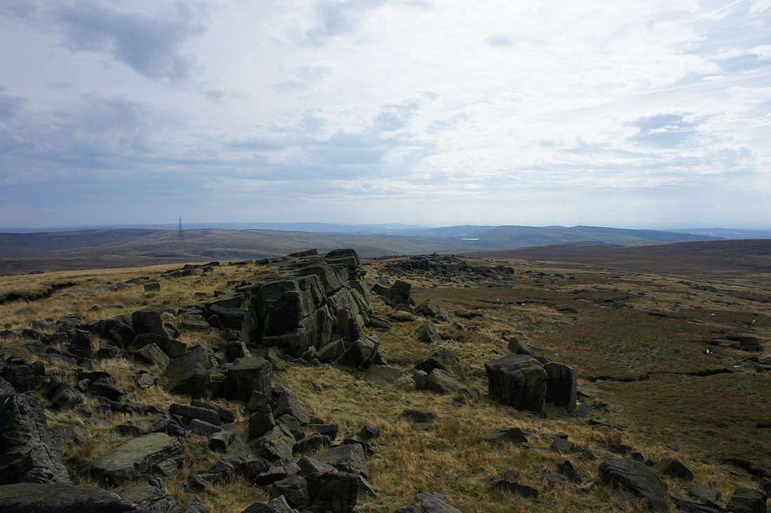
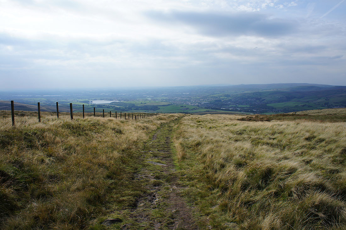
Having reached the communication mast on Windy Hill I've crossed the A672 and taken the Pennine Way to White Hill. Looking back with Blackstone Edge behind the mast.
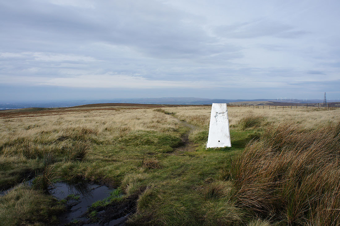
By the trig point on White Hill
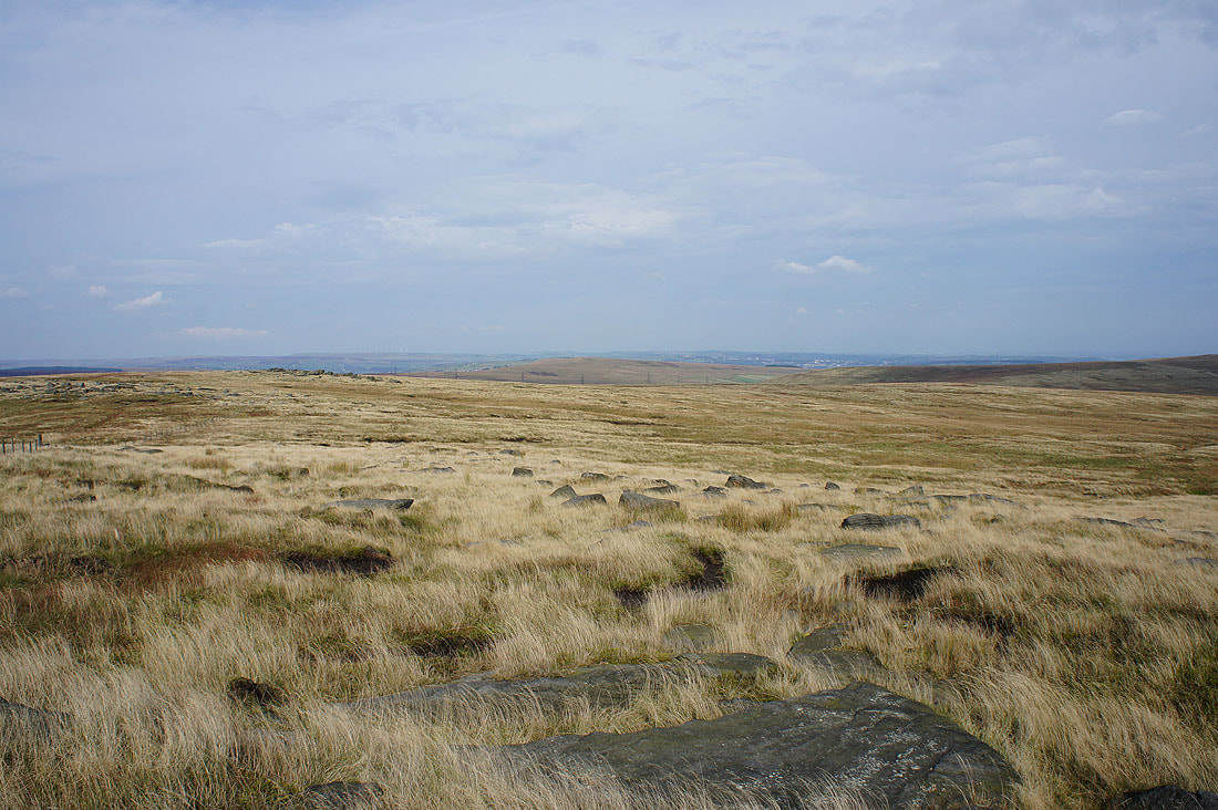
It's my first time on this particular Pennine summit and I was quite surprised to see just how extensive a view it has. To the southeast and south are Black Hill and the Saddleworth moors..
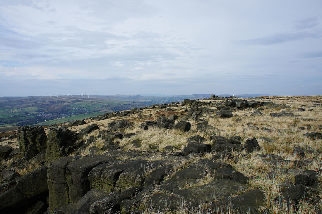
To the northwest is Blackstone Edge. It's a bit hazy today but I could still just about make out Pendle Hill to its left.
Rishworth Moor is to the north with the moors around Calderdale beyond. I could make out the monument on Stoodley Pike.
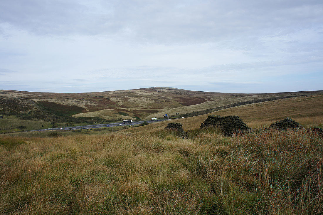
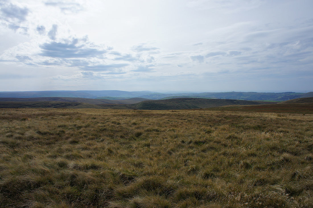
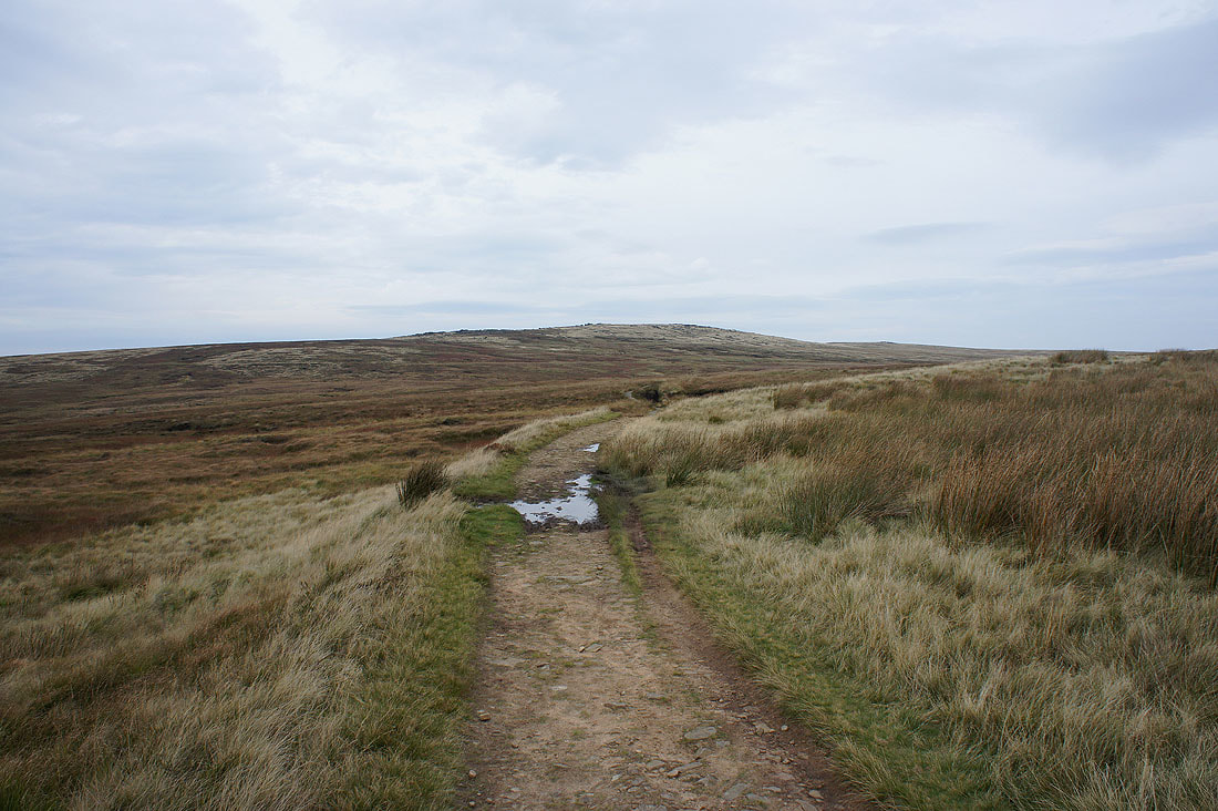
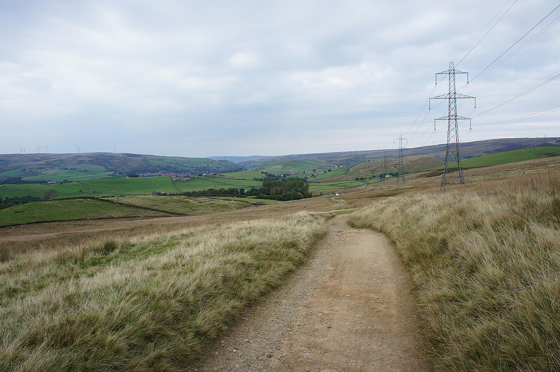
Rishworth Moor and Way Stone Edge as I head back to the A672
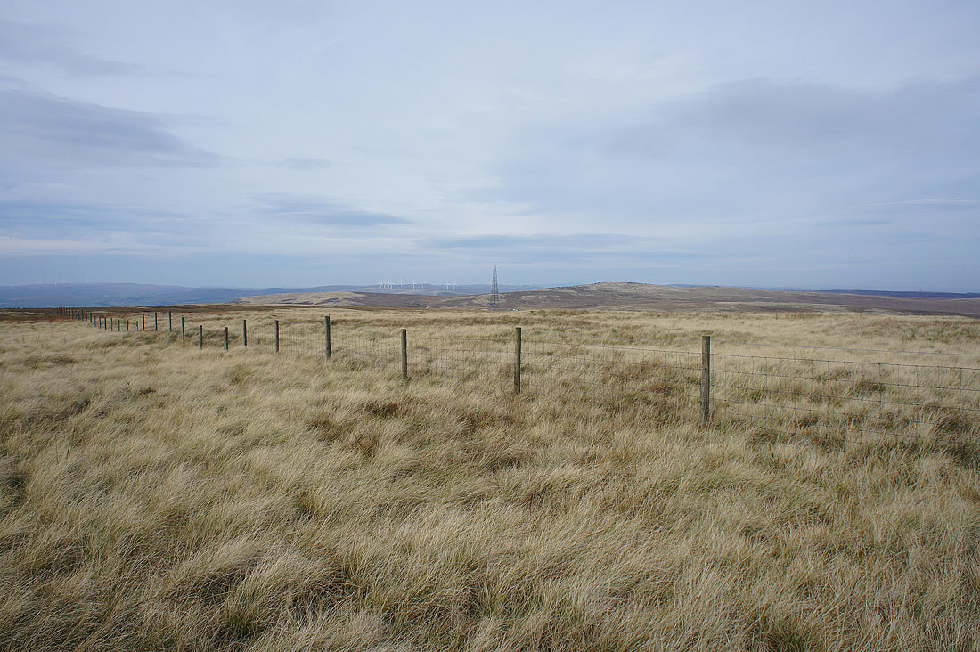
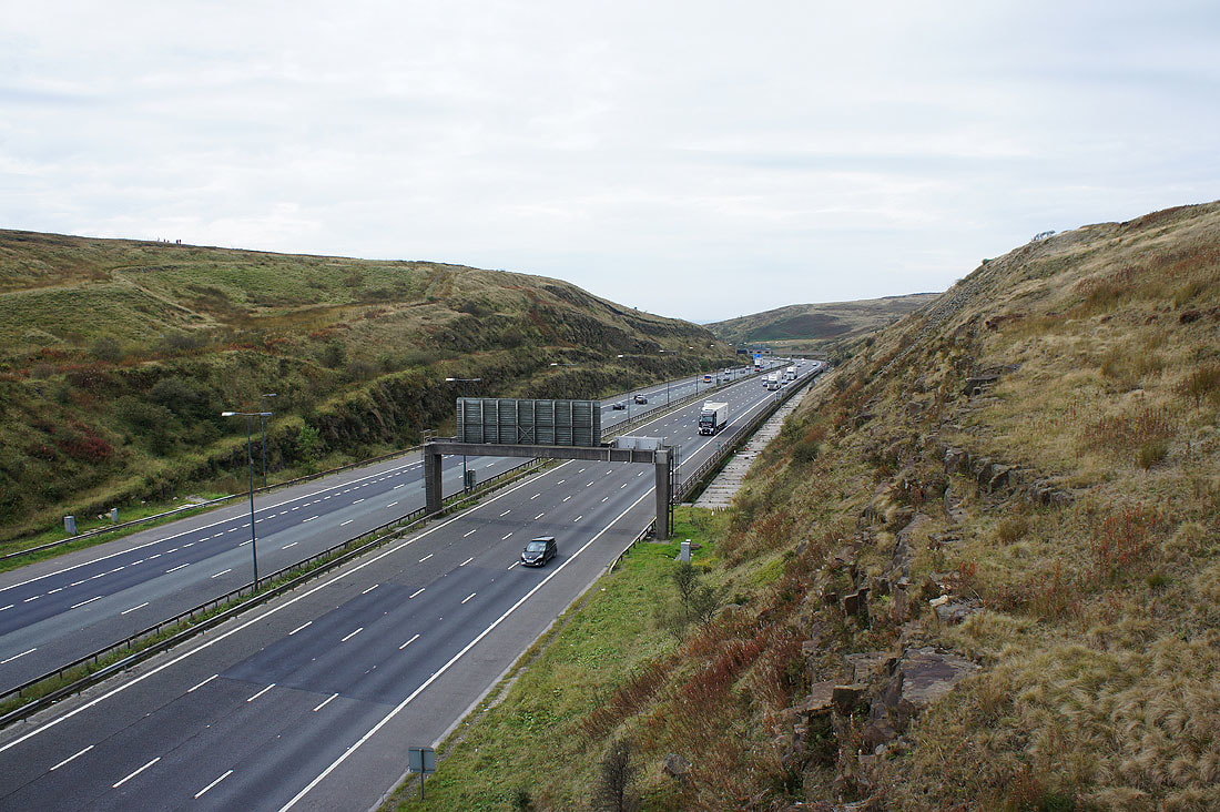
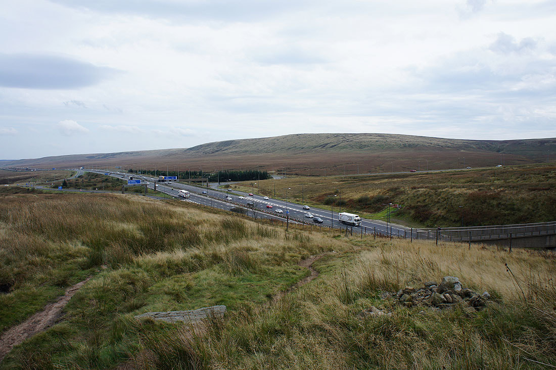
Across the M62 on the Pennine Way
Looking west towards Lancashire..
..and east into West Yorkshire
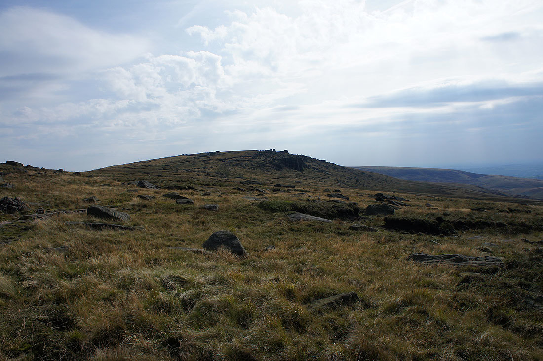
Approaching Blackstone Edge
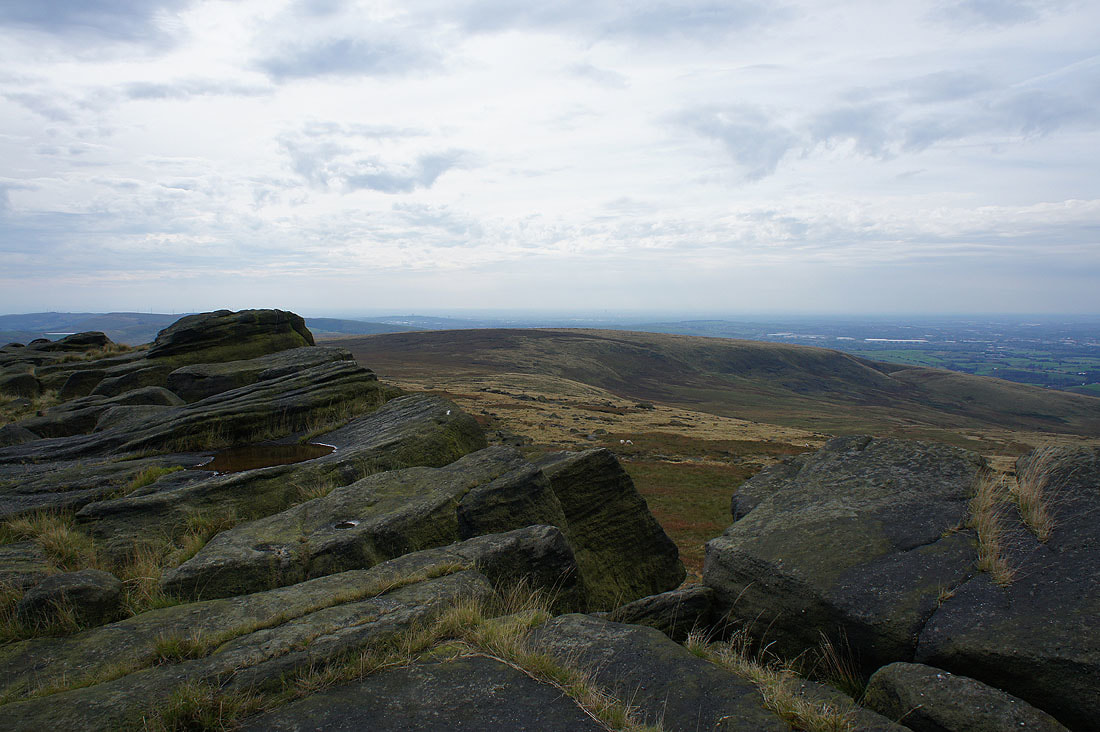
A couple of photos from a stop at the southern end of Blackstone Edge. I could just about make out Manchester city centre in the distance beyond the nearby Hoar Edge.
Looking north along the crags
Much to my surprise the weather improves as I slowly make my way north along the edge. Looking south to White Hill and the Saddleworth moors.
Way to the north I can make out the distinctive profile of Pendle Hill, and the trig point isn't far to go either
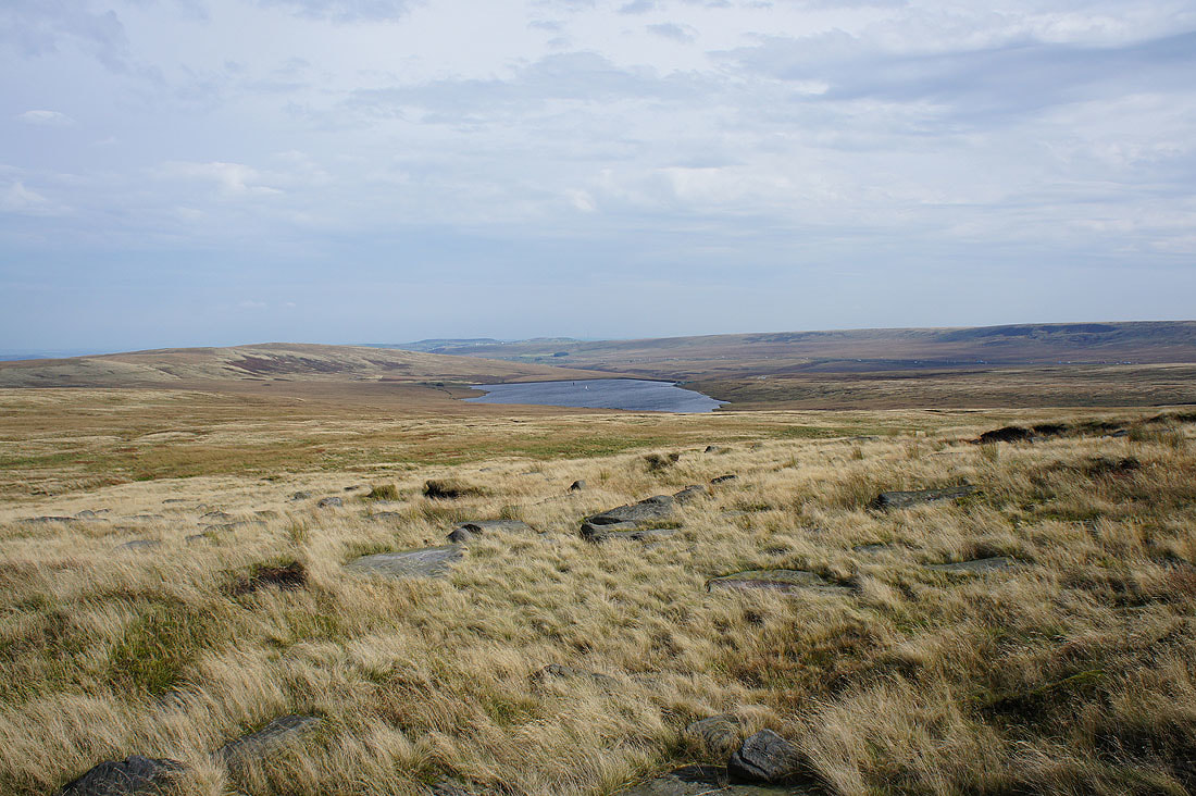
Hollingworth Lake below
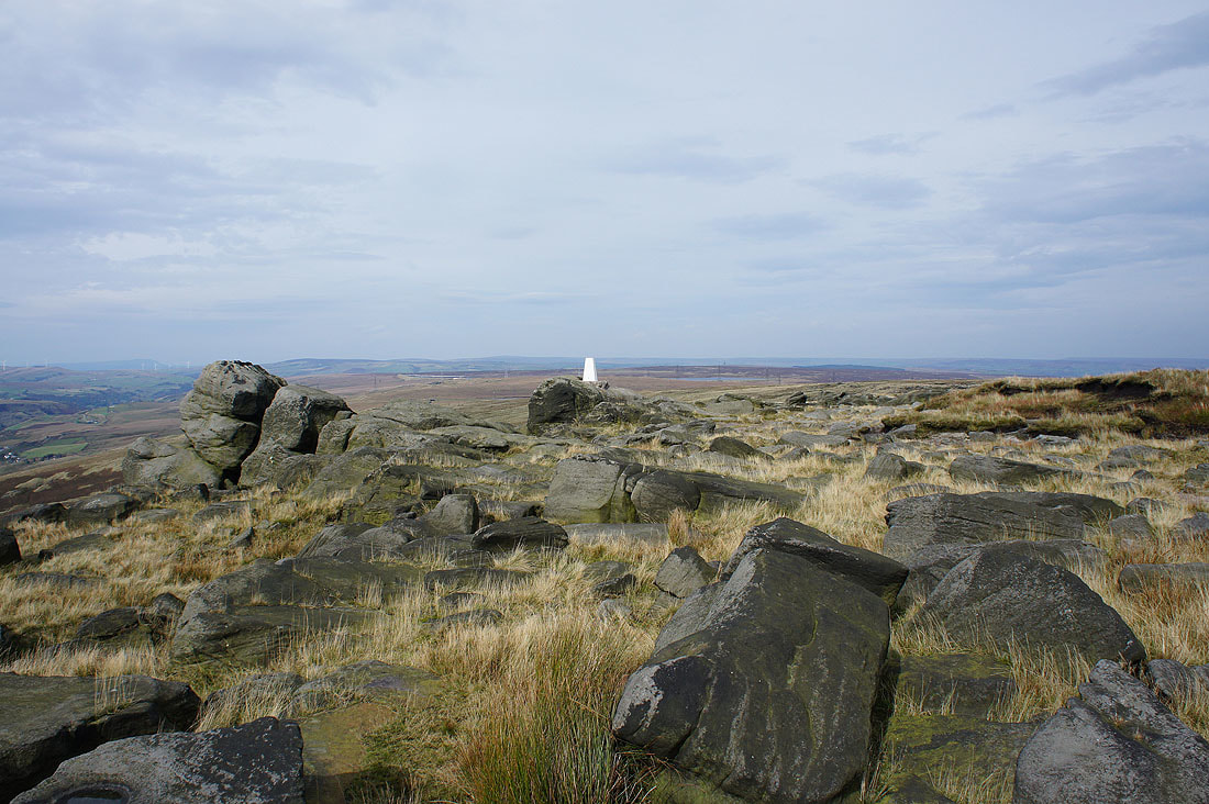
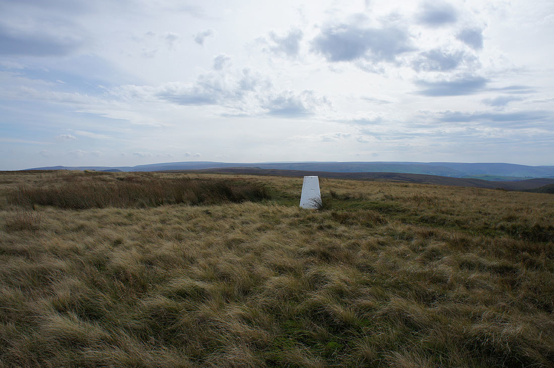
Finally made it to the trig point on Blackstone Edge. I really took my time and why not? It's a lovely early autumn afternoon at the moment. Warm sunshine and a southerly breeze.
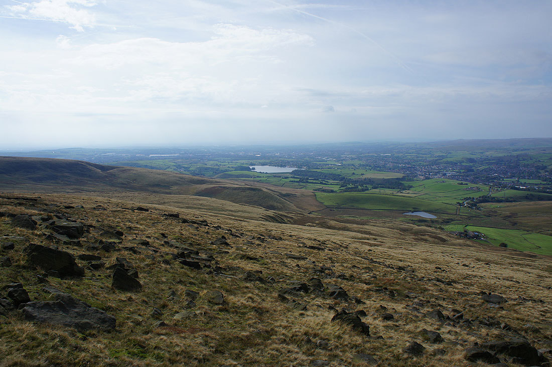
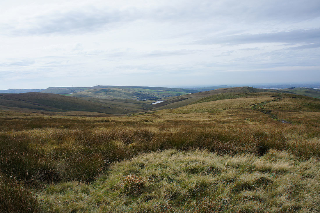
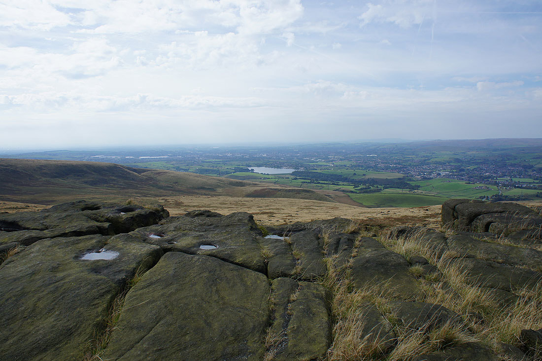
Hollingworth Lake with the town of Rochdale behind
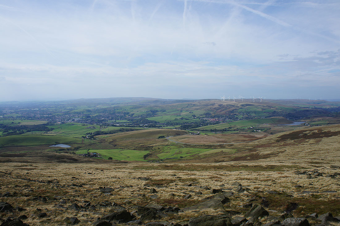
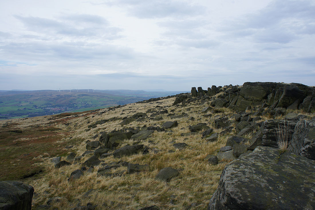
Scout Moor, Littleborough and Shore Moor to the west
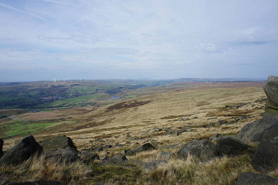
Looking north through the Summit gorge to a distant Pendle Hill
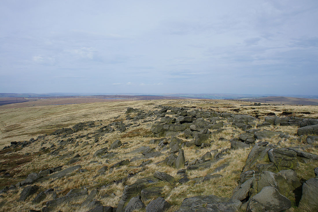
The moors around Calderdale to the north
I couldn't help taking another photo looking towards Pendle Hill as I head north off the edge. The colours look great in the sunshine.
I can get a view to the northeast and east now. Great Manshead Hill and..
..Rishworth Moor and Green Withens Reservoir
A look back to the northern end of Blackstone Edge

The Aiggin Stone. A medieval guide stone that sits at the top of the packhorse route that crossed the Pennines just to the north of Blackstone Edge. It's about 600 yrs old.
Heading down what is marked on the OS map as a "Roman Road"
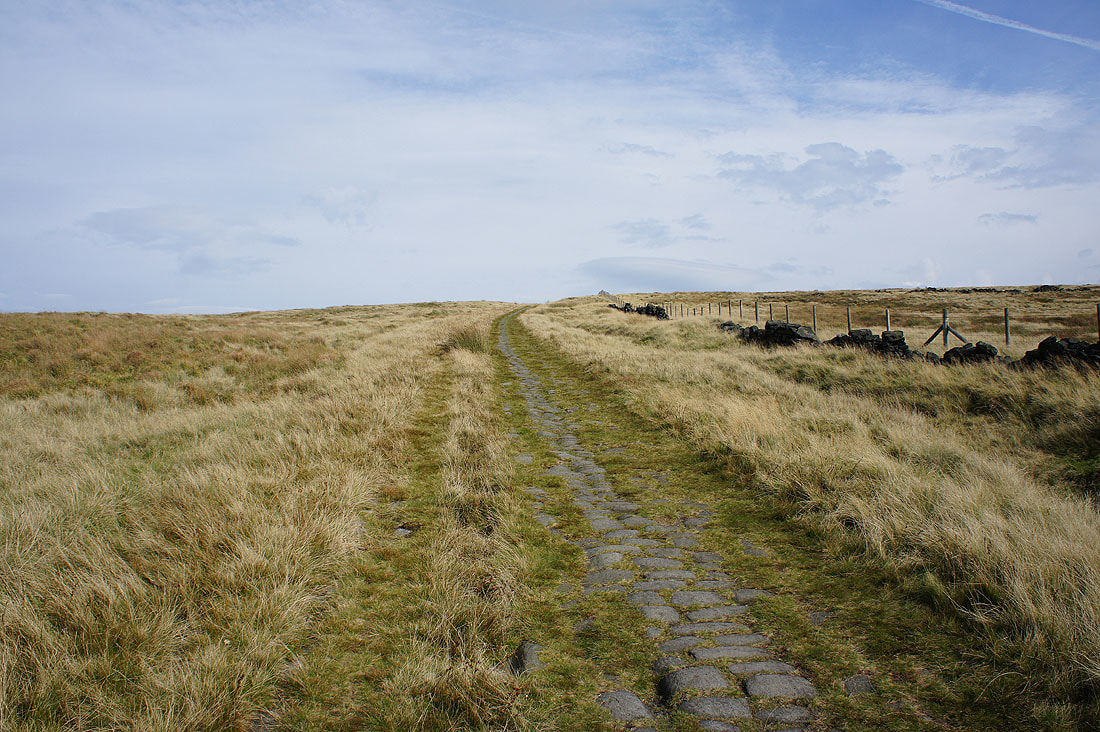
The surface seen here is more likely to medieval in age but the line it takes could well be on that of a Roman Road that would have connected Manchester (Mamucium) with Ilkley (Verbeia) then York (Eboracum)
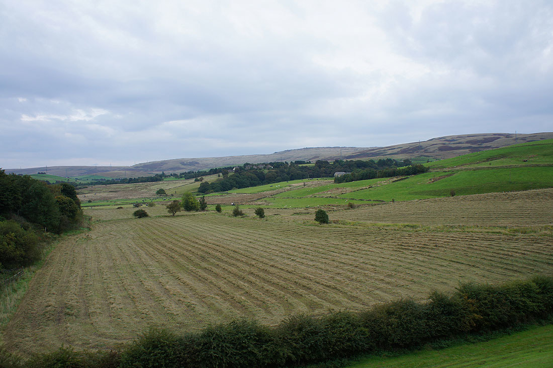
A bit later than expected but it's finally clouded over as I look north to the moors around Summit from the Pennine Bridleway back to Hollingworth Lake
Scout Moor, Brown Wardle Hill, Hades Hill and Shore Moor
The final descent back to..
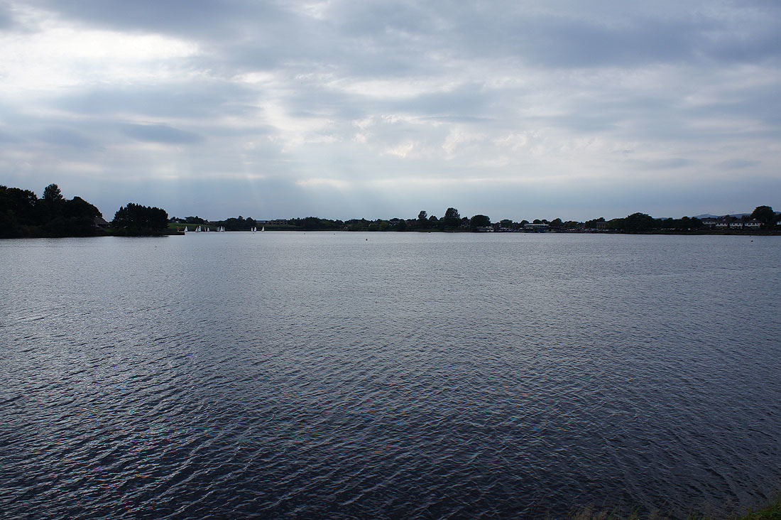
..Hollingworth Lake
A last look up to Blackstone Edge before I reach the car park