24th September 2022 - Conistone to Weets Top and back
Walk Details
Distance walked: 13.5 miles
Total ascent: 2249 ft
OS map used: OL2 - Yorkshire Dales, Southern & Western areas
Time taken: 7 hrs
Route description: Conistone-Kilnsey-Mastiles Lane-Smearbottoms Lane-Hawthorns Lane-Weets Top-Park House-Bordley Hall-Bordley-Malham Moor-Malham Moor Lane-Mastiles Lane-Conistone
I wasn't finding it easy to make a decision on where to go for a walk this weekend, so I ended up resorting to familiar territory, the moors between Wharfedale and Malhamdale. The route that I chose was one that I've done before, in fact I did a variation of it for my first walk of this year, but with a small change to the way back from Weets Top. I took in some new paths for going via Park House and Bordley Hall to Bordley, and since I had the time I included an ascent to the trig point on Holgates Kilnsey Moor. It turned out to be a lovely early autumn day for a walk across the moors, with a mixture of cloud and warm sunny spells. I did get a surprise when I was driving along the road to Kilnsey though. As Kilnsey Crag appeared I could see that the fields opposite it were full of tents and camper vans. It was the 2022 "Dubs in t'Dales" event.
From Conistone I crossed Conistone Bridge and walked to the B6160, where I turned left and took the footpath a short distance away on the opposite side of the road. I then followed this path uphill to join the track of Mastiles Lane which took me west up and over Holgates Kilnsey Moor, through Mastiles Gate and until I reached a footpath on the left which took me south to the northern end of Smearbottoms Lane at Middle Laithe Farm. I then walked south along Smearbottoms Lane, and then Hawthorns Lane to its top where I turned left and took the bridleway up to Weets Gate to reach Weets Top. Lunch had here, I retraced my steps back onto the bridleway down to Hawthorns Lane, leaving it for a footpath on the right to Park House. From Park House I took the footpath to Bordley Hall, then from there the footpath north up through fields to Bordley. After walking through Bordley I followed the bridleway up to the end of Malham Moor Lane, and after a brief walk along the bridleway towards Mastiles Gate I went through a gate on the right to make my way up access land to the trig point on Holgates Kilnsey Moor. Once I'd taken in the view I retraced my steps to the end of Malham Moor Lane, then walked east along it until the lane became enclosed and I reached a gate on the right. I went through this and made my way south across access land to reach the footpath from Bordley to Height Laithe, which I followed east towards Height Laithe. Just before reaching Height Laithe I crossed a bridleway which I turned left onto and followed north across Malham Moor Lane and Malham Moor and then down to Mastiles Lane. I then walked east down Mastiles Lane to Kilnsey where I had a brief walk south along the road to reach the lane back to Conistone.
Route map
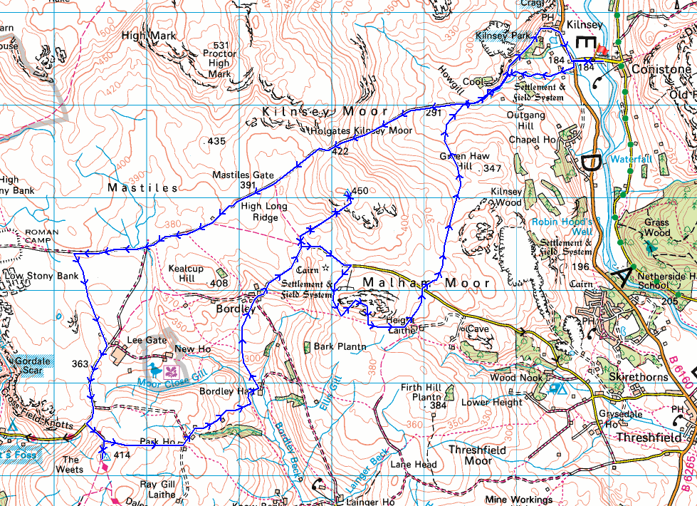
© Crown copyright. All rights reserved. License number PU 100034184.
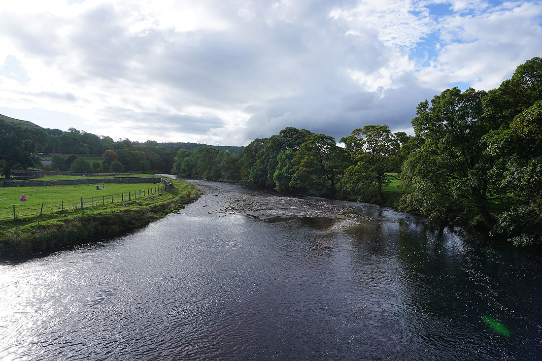
The River Wharfe from Conistone Bridge
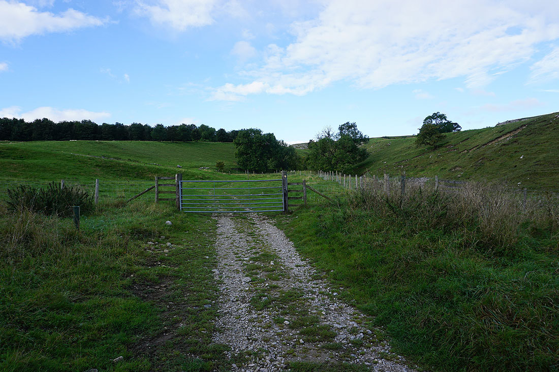
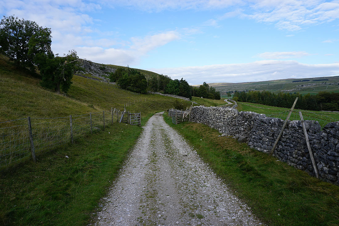
From Conistone I walk to the B6160, cross the road and take the footpath to the left signposted for Cool Scar, which will take me to Mastiles Lane..
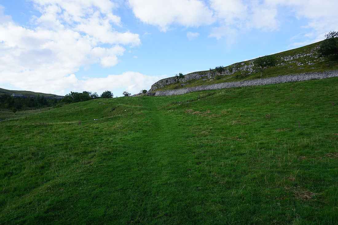
Heading west along Mastiles Lane up onto Holgates Kilnsey Moor...
Looking back down into Wharfedale as I reach the top of Mastiles Lane
Weets Top in the distance on the left, and Kirkby Fell in the distance on the right as I follow Mastiles Lane towards Mastiles Gate
Looking back along Mastiles Lane from Mastiles Gate..
..and south to Boss Moor and Flasby Fell
Heading west along Mastiles Lane
Looking back along Mastiles Lane to Holgates Kilnsey Moor
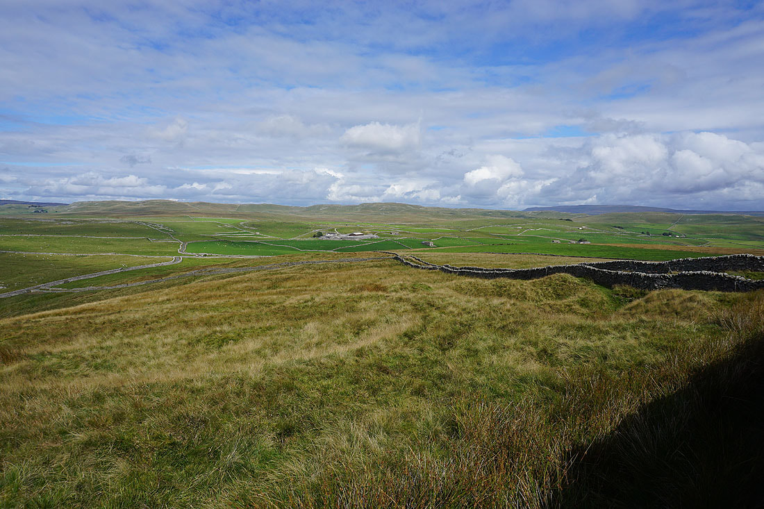
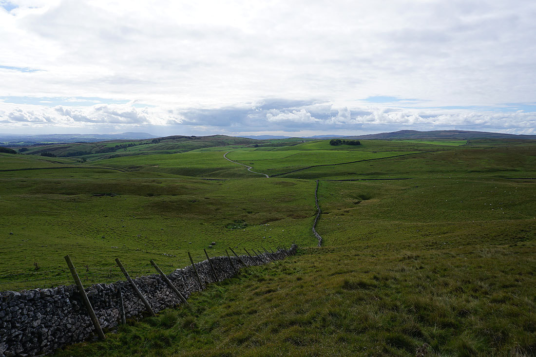
and to the south of Mastiles Lane, with Weets Top on the left and Pendle Hill in the distance on the right
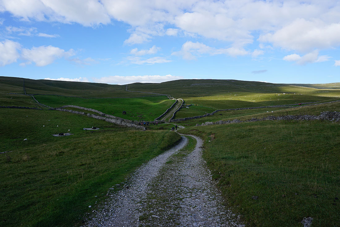
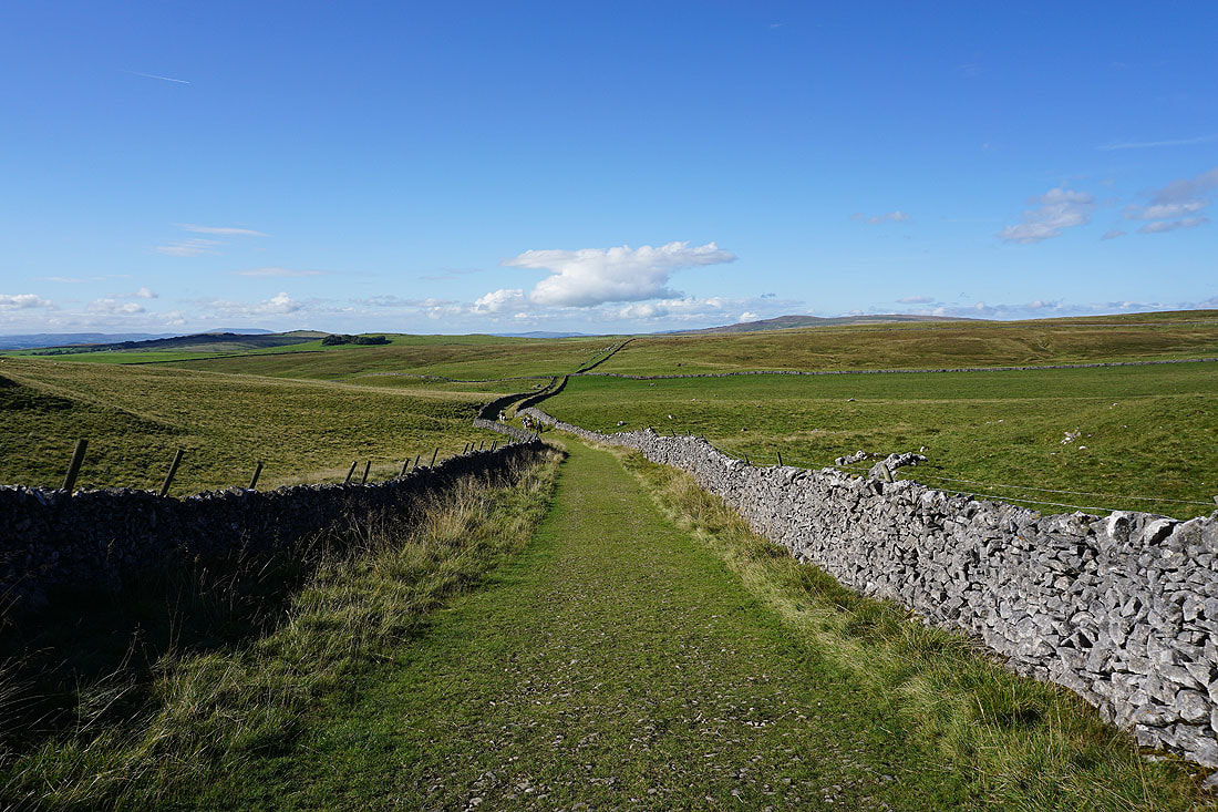
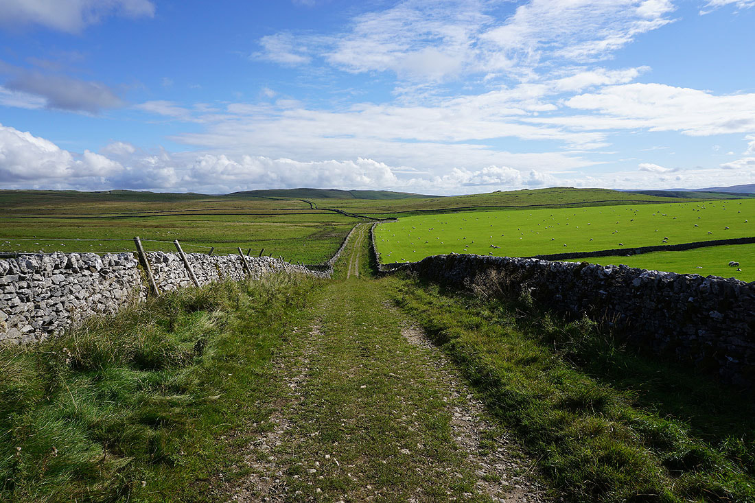
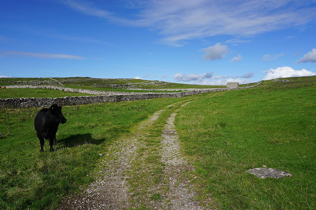
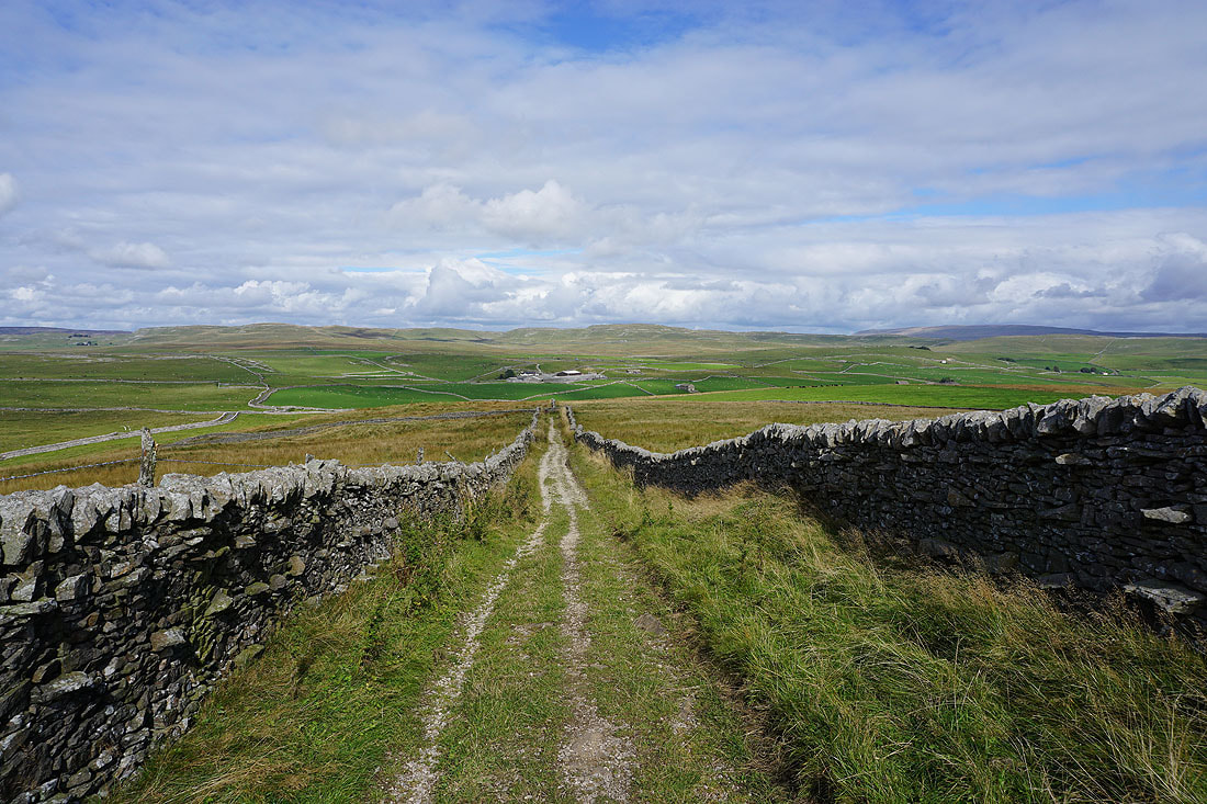
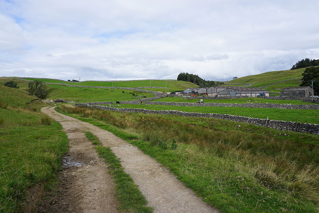
I finally reach the point where I leave Mastiles Lane. The footpath on the left will take me south to Smearbottoms Lane.

Following the footpath south across fields to Middle Laithe Farm
Looking back to the limestone moorland to the north of Mastiles Lane
and to the limestone pastures by Middle Laithe Farm as I reach Smearbottoms Lane
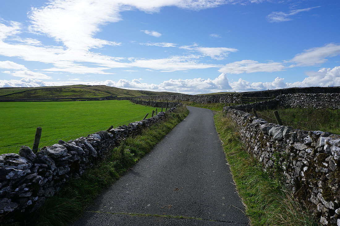
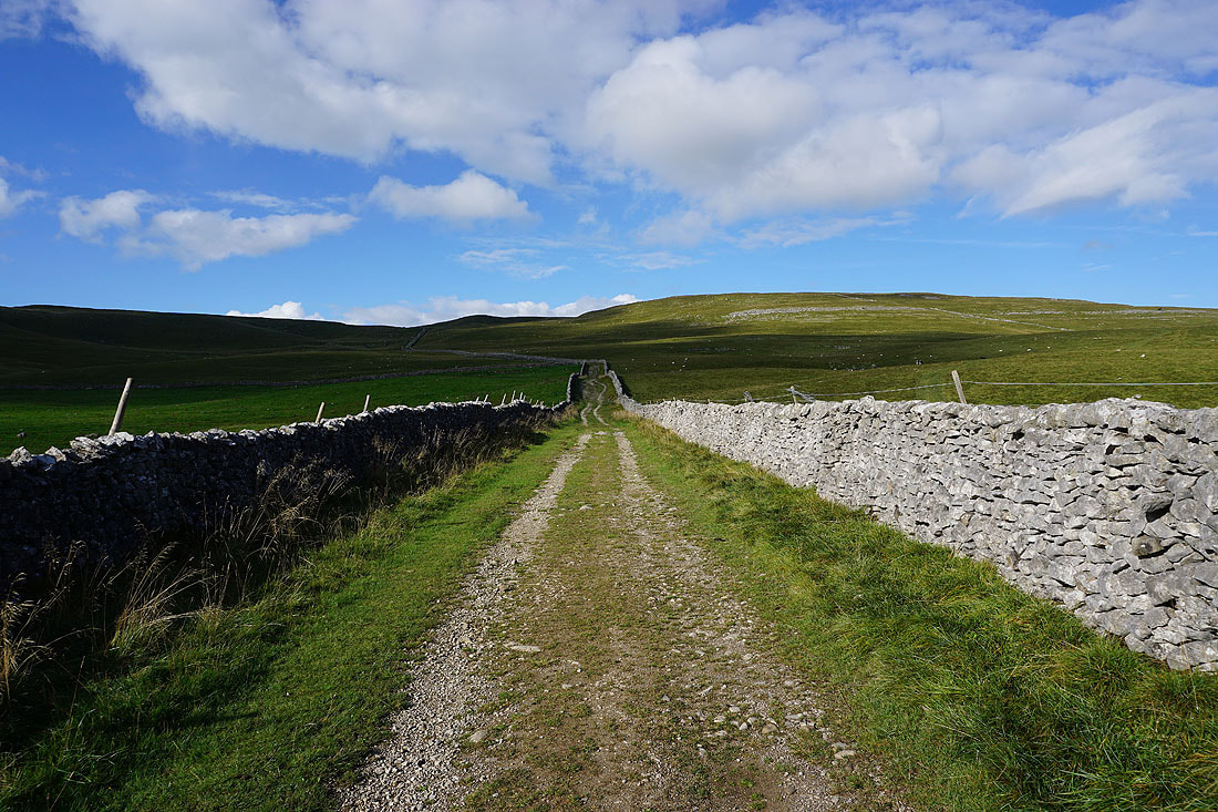
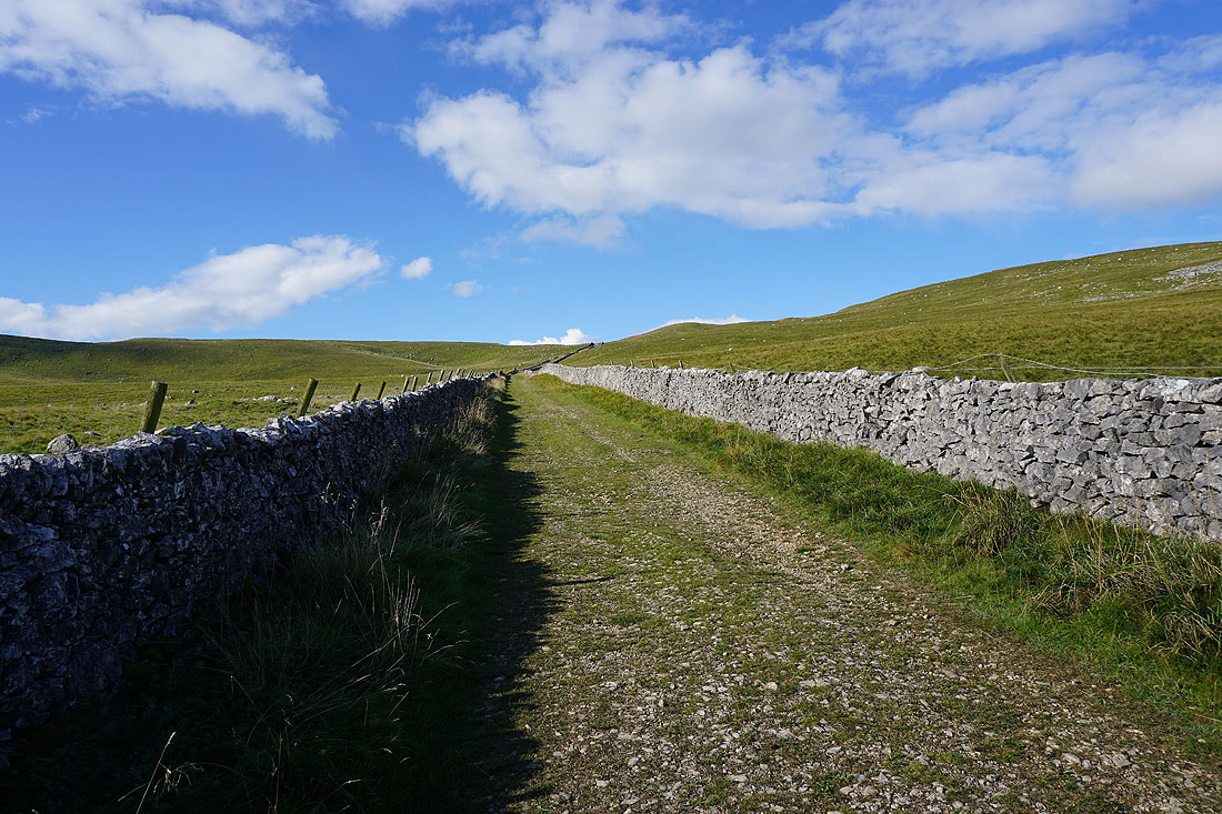
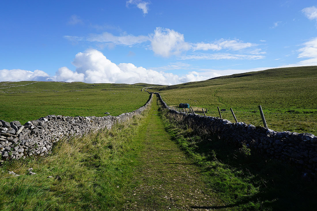
Heading south along Smearbottoms Lane to Hawthorns Lane and the bridleway up to Weets Top
The valley of Bordley Beck to the east
Looking back to Middle Laithe Farm from Smearbottoms Lane
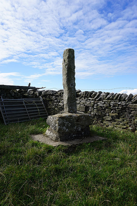
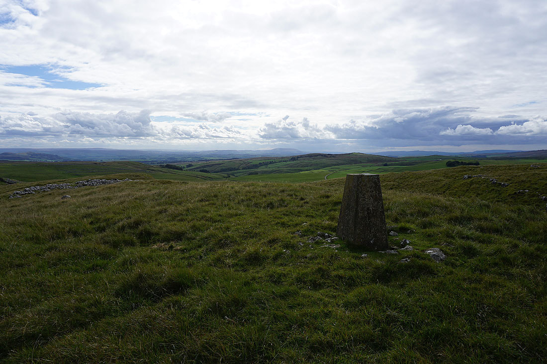
The remains of Weets Cross
At the trig point on Weets Top. This is a good place to stop for lunch.
I've crossed the bridleway that runs across Weets Top to get the view over the summit wall from here. I particularly like that of..
..Kirkby Fell and the limestone crags that mark the entrance to Gordale Scar
Looking north over the summit wall to the limestone moorland of Parson's Pulpit and Proctor High Mark in the distance
and southwest across Calton Moor and Hanlith Moor to Weets Hill and Pendle Hill in the distance
The pointed top of Sharp Haw behind Hetton Common Head on the left with the South Pennines way in the distance

Cracoe Fell, Boss Moor, and Hetton Common Head
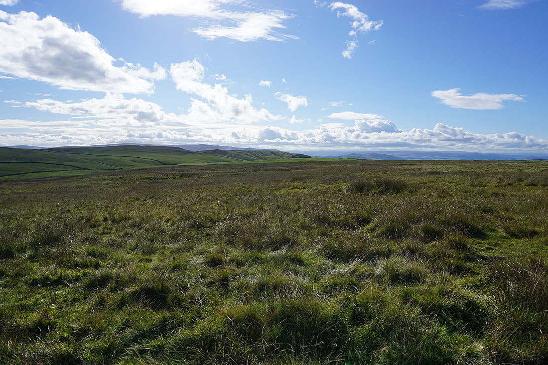
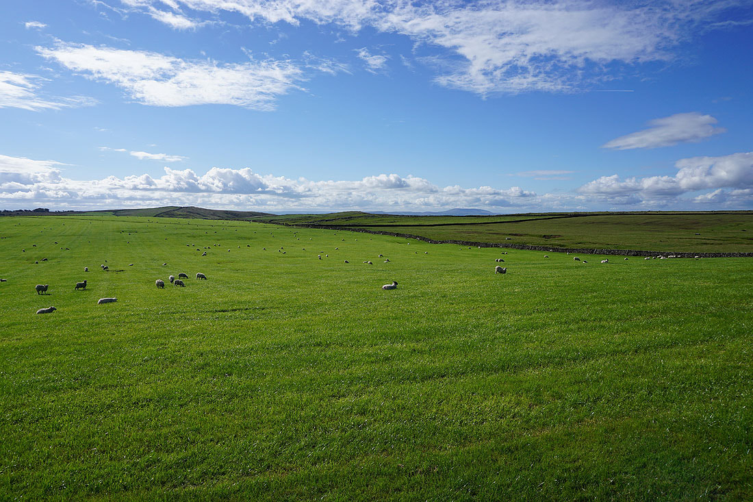
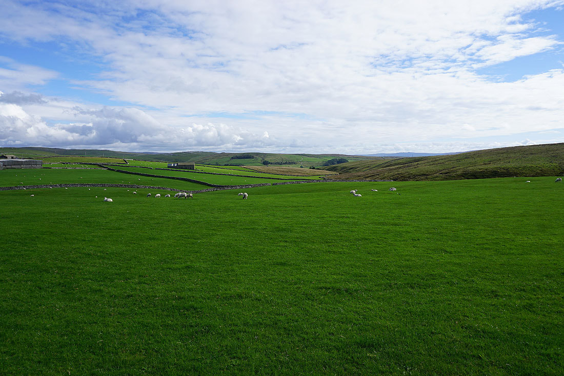
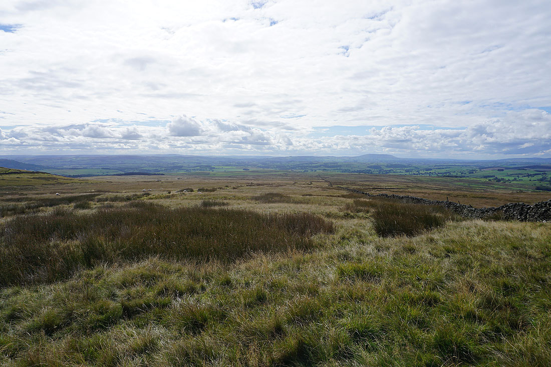
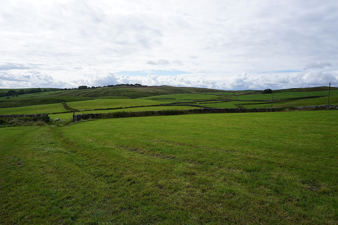
Malham Moor and Threshfield Moor to the east
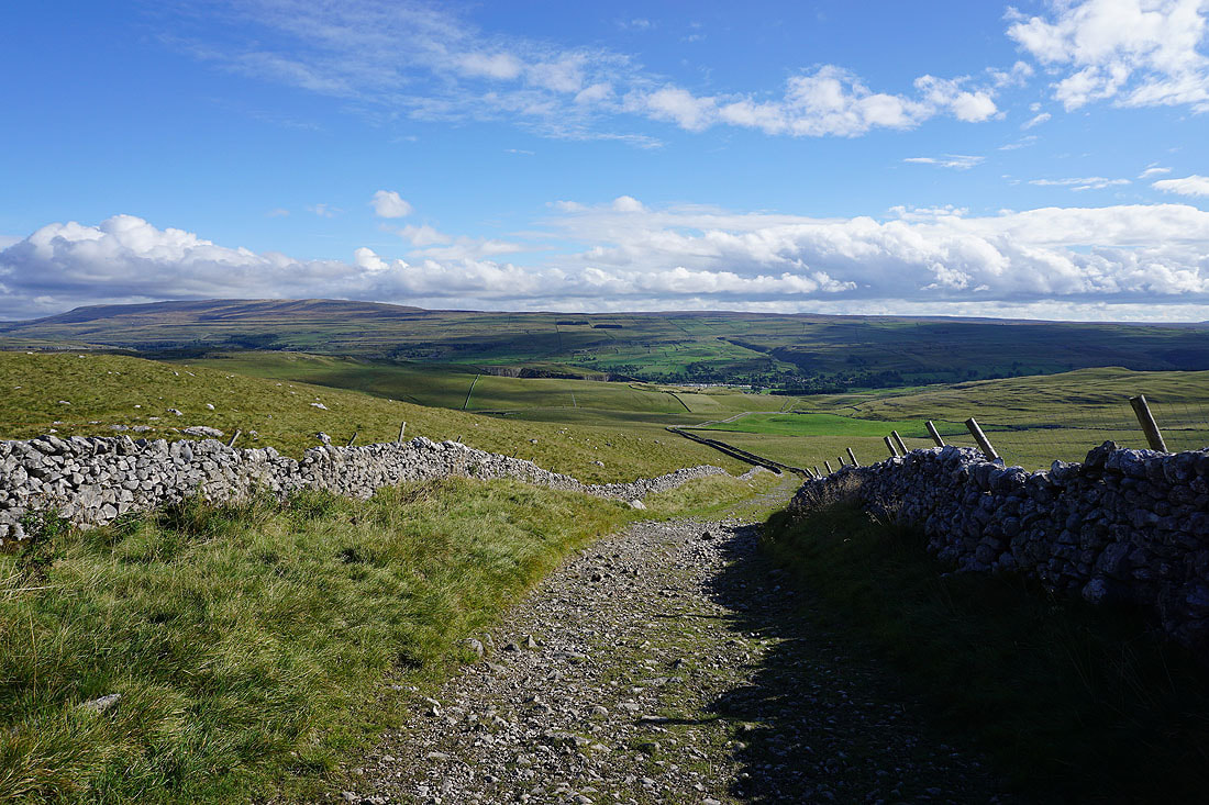
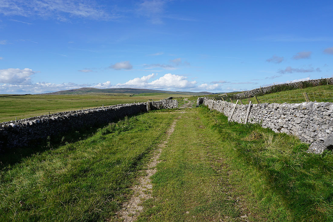
I leave Weets Top via the bridleway down to Hawthorns Lane. I won't be on it for long though, as it turns to the left I'll take a footpath on the right.
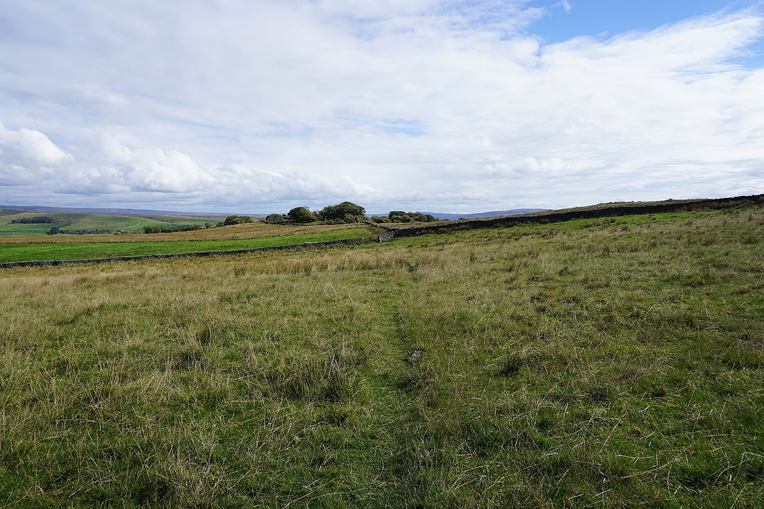
The footpath takes me across fields and moorland to Park House..
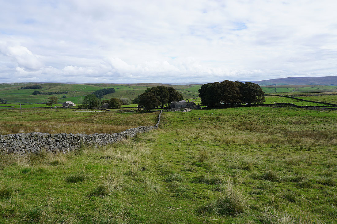
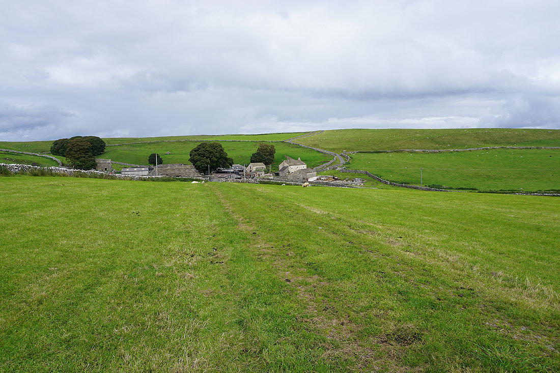
At Park House I take the footpath to Bordley Hall, and head down into the valley of Bordley Beck
Approaching Bordley Hall
From Bordley Hall I take a footpath up through fields to Bordley
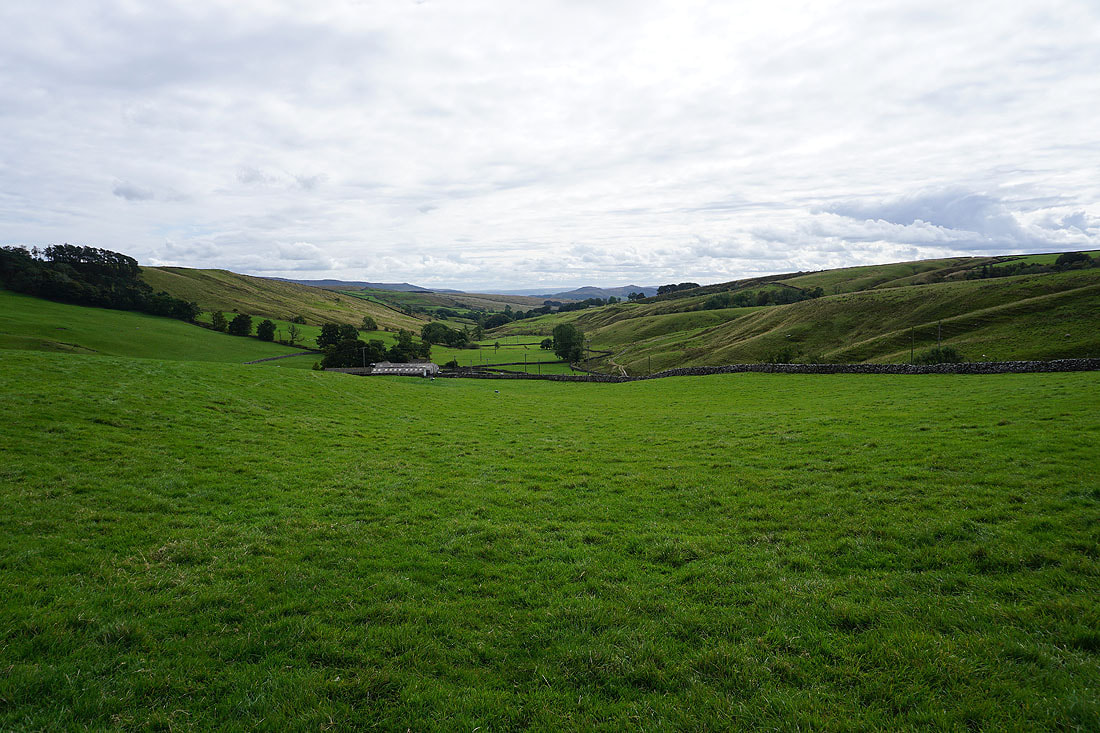
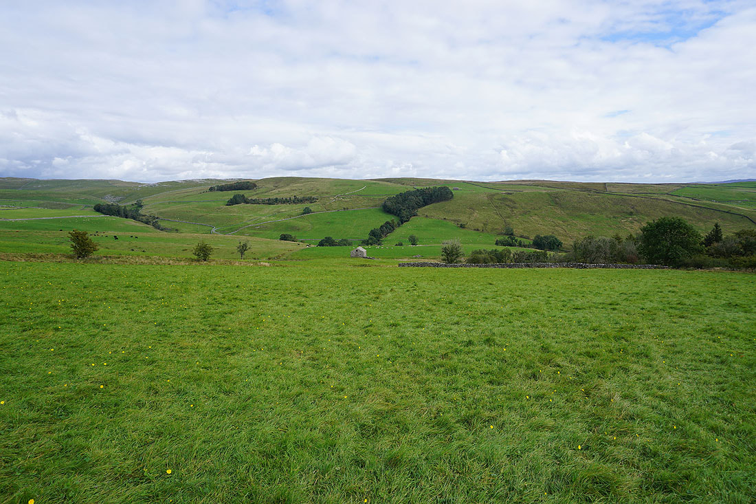
Looking back to Bordley Hall and down the valley of Bordley Beck
and across to Weets Top
Approaching the hamlet of Bordley
Looking back to Bordley with Weets Top in the distance as I walk up the bridleway to the end of Malham Moor Lane
Weets Top and Kirkby Fell in the distance as I head up onto Holgates Kilnsey Moor
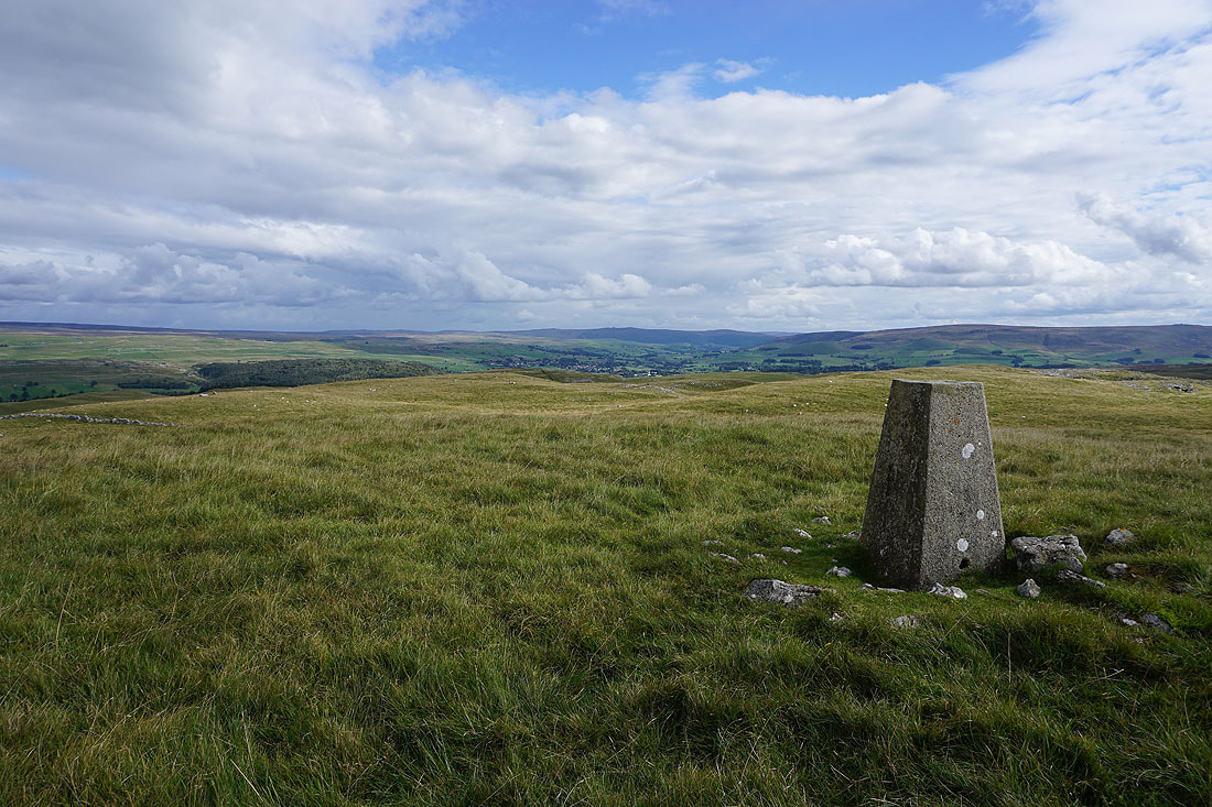
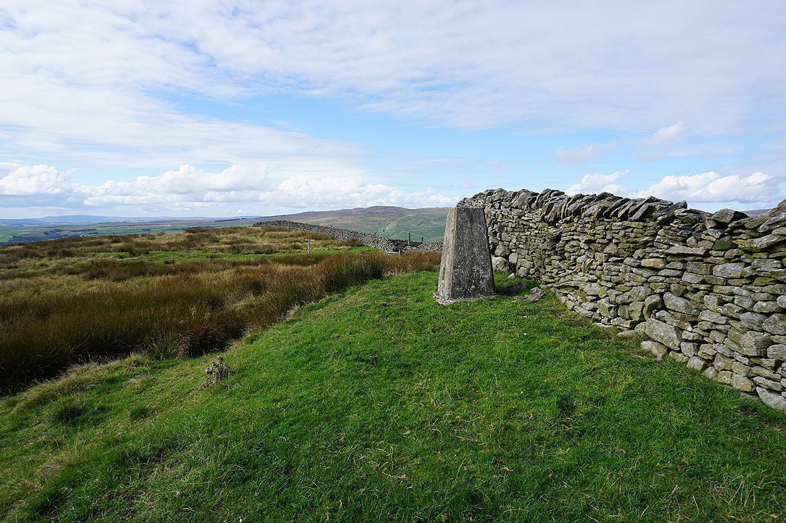
At the trig point on Holgates Kilnsey Moor. Simon's Seat, Wharfedale, and Cracoe Fell to the southeast.
Pendle Hill in the distance beyond Hetton Common and Weets Top
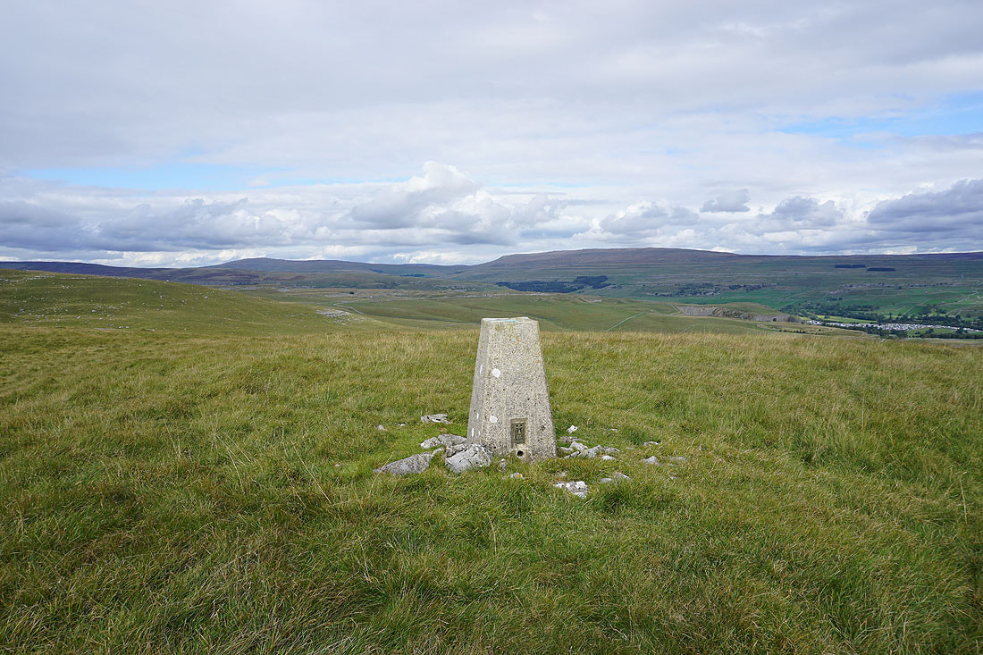
Buckden Pike and Great Whernside
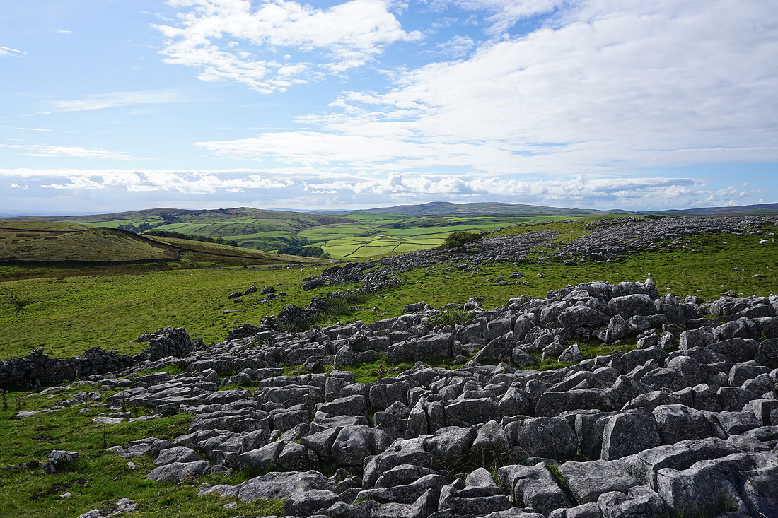
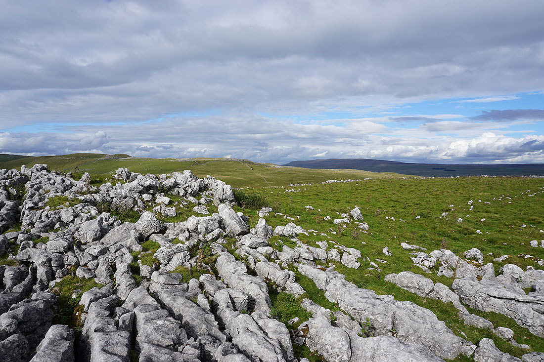
The limestone moorland of Clapham High Mark and Proctor High Mark to the northwest
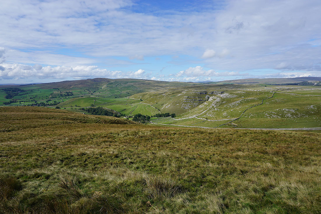
Some exposed limestone provides a foreground for a photo looking down Wharfedale to Grassington and Simon's Seat
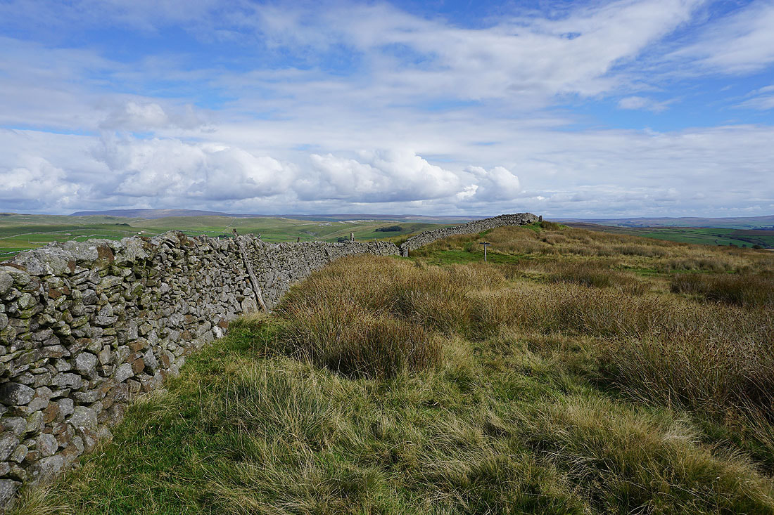
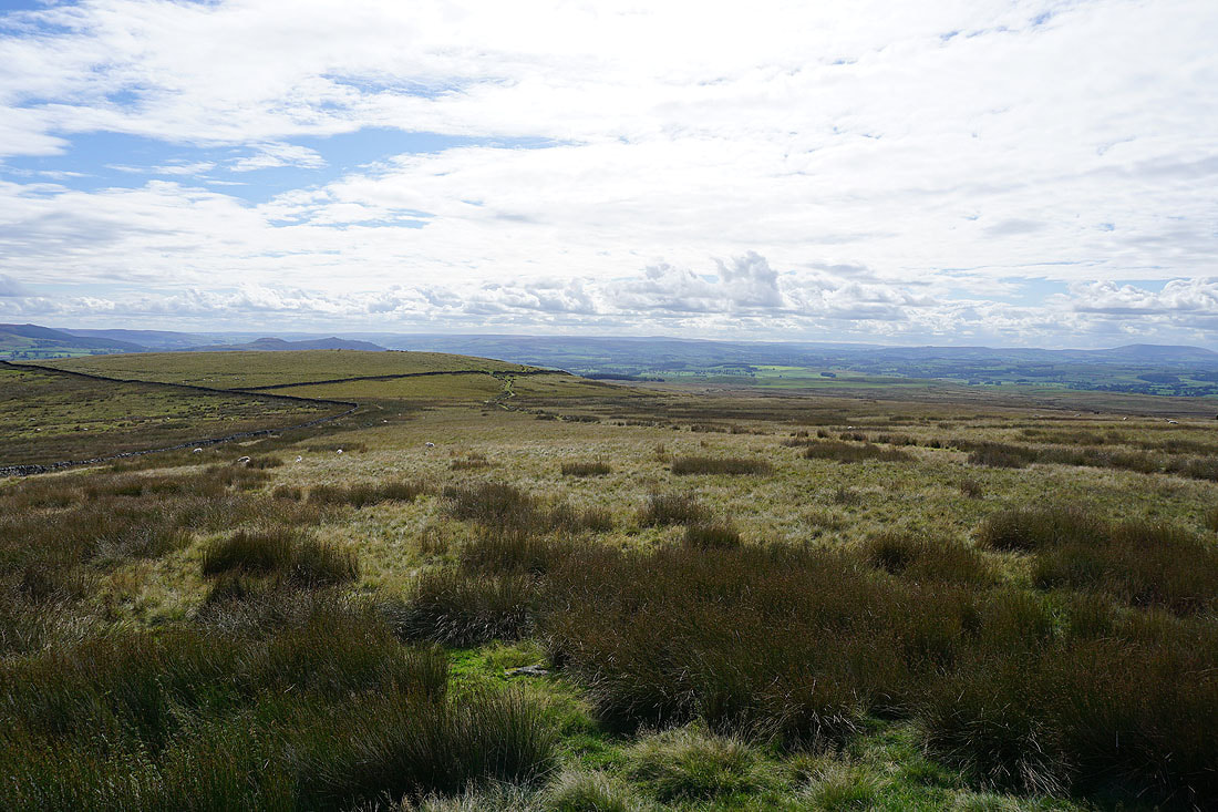
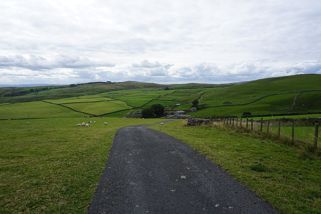
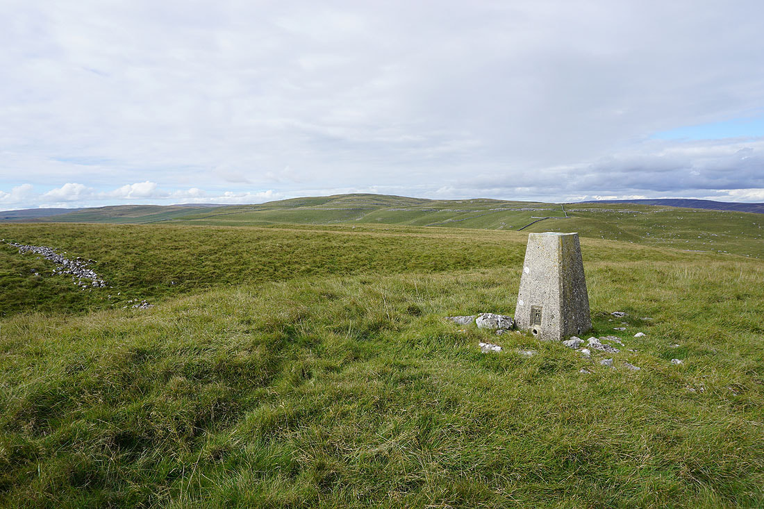
Heading back down from Holgates Kilnsey Moor
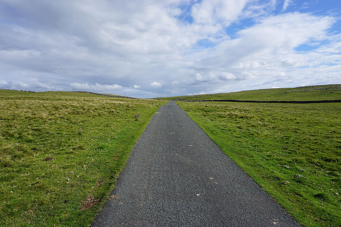
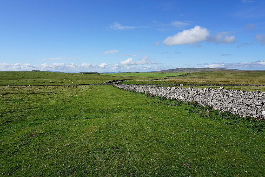
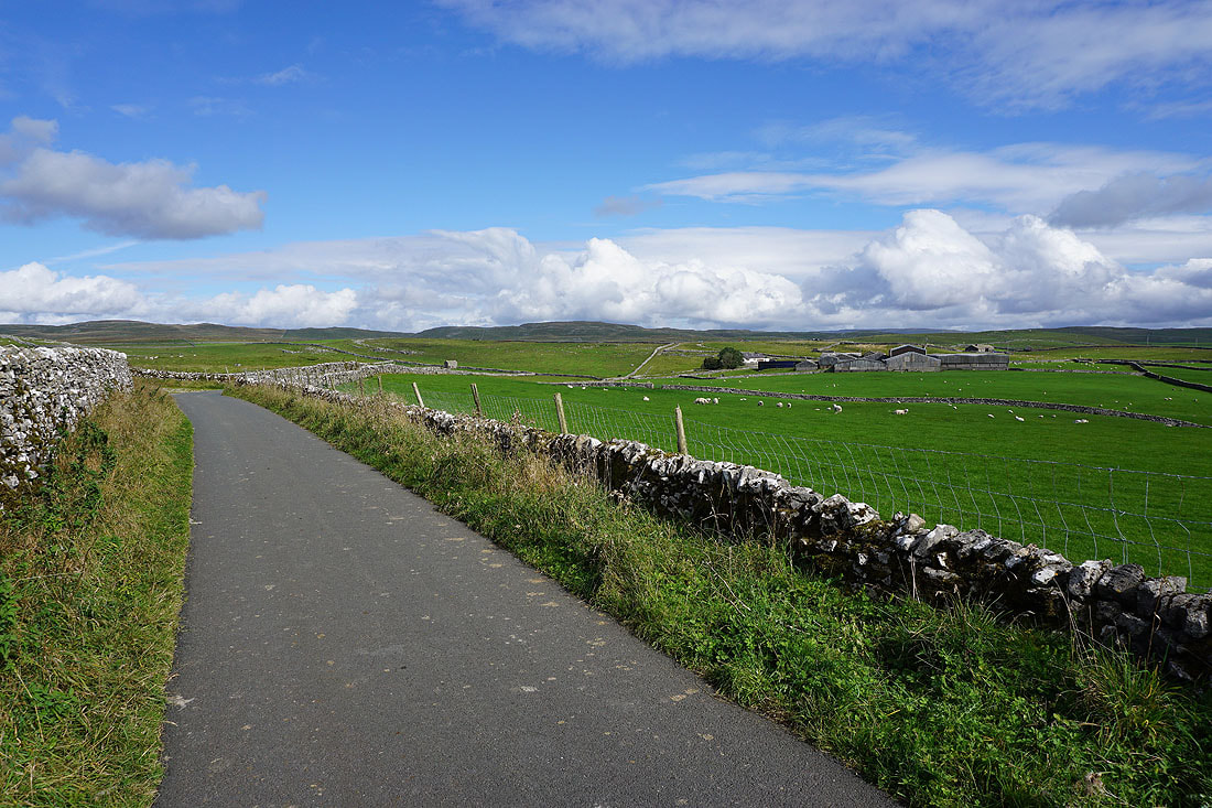
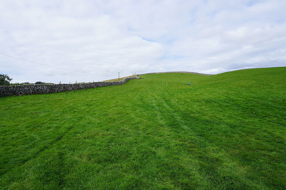
and onto Malham Moor Lane
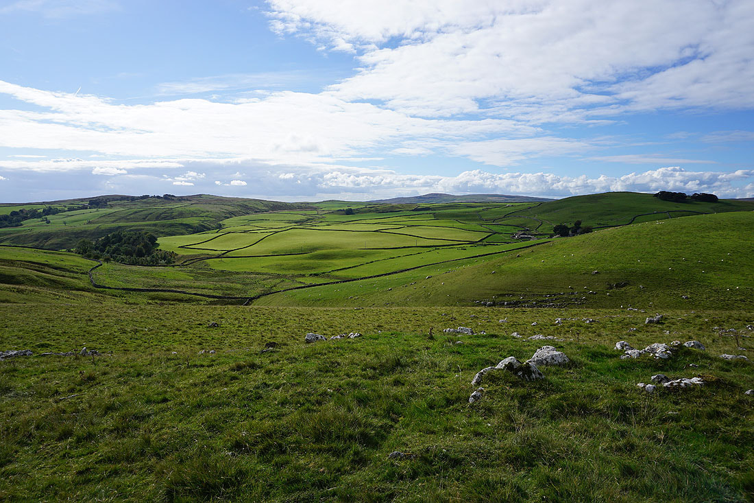
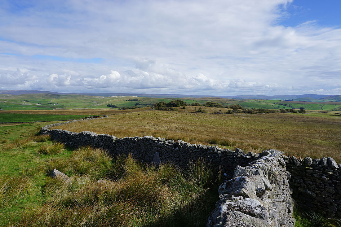
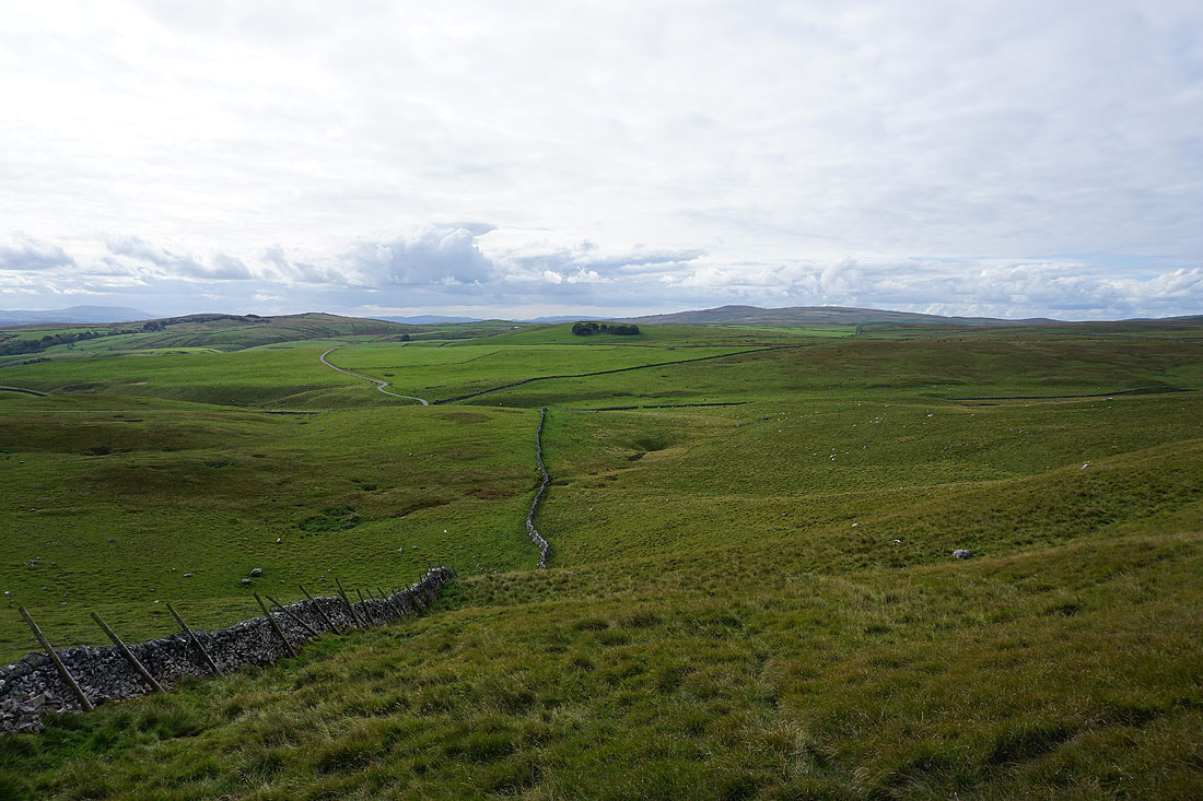
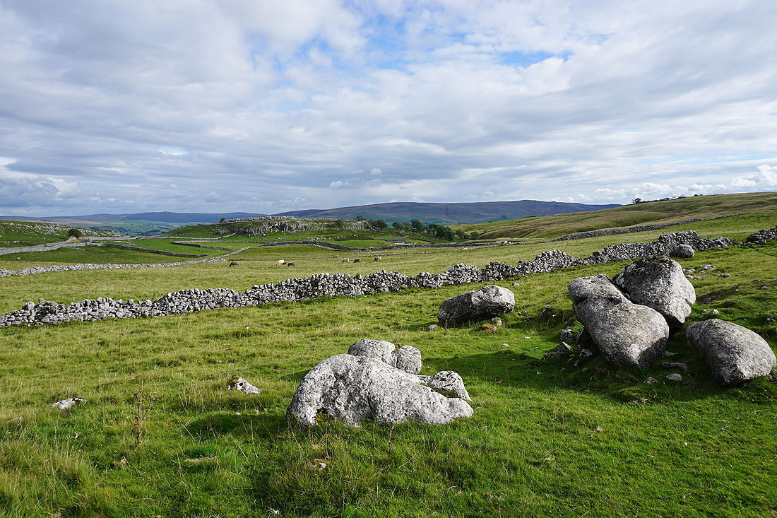
I've left Malham Moor Lane for the access land of Malham Moor to its south. I get a great view across to Weets Top, Bordley, and Kealcup Hill as I make my way across the moor..
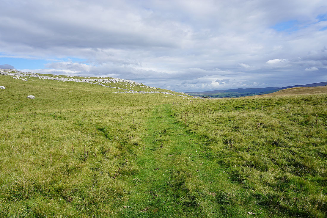
..to pick up the footpath from Bordley to Height Laithe
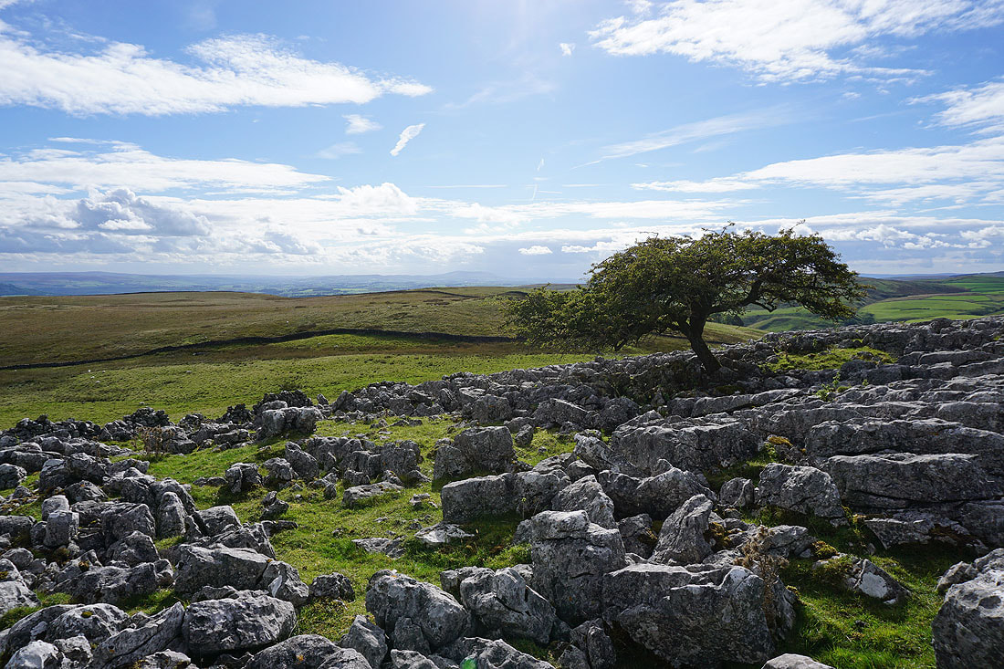
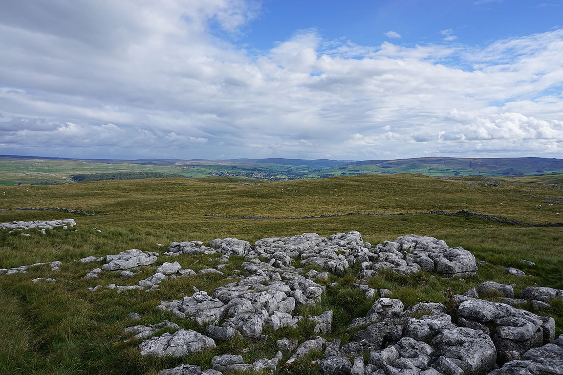
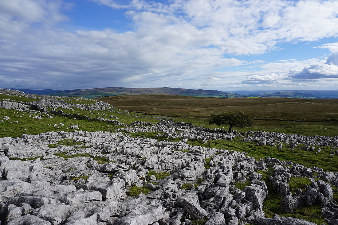
There's quite a bit of limestone pavement on Malham Moor, so I decided to spend some time wandering about amongst it taking some photos. First, looking across Hetton Common to Pendle Hill in the distance.
and to Weets Top and Kirkby Fell
Looking across Threshfield Moor to Cracoe Fell in the distance
Great Whernside in the distance to the right beyond Holgates Kilnsey Moor
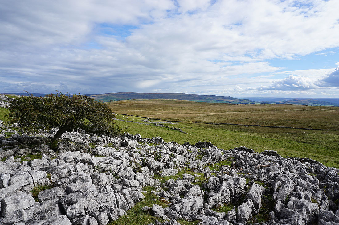
Back at the hawthorn for a final shot of Threshfield Moor and Cracoe Fell
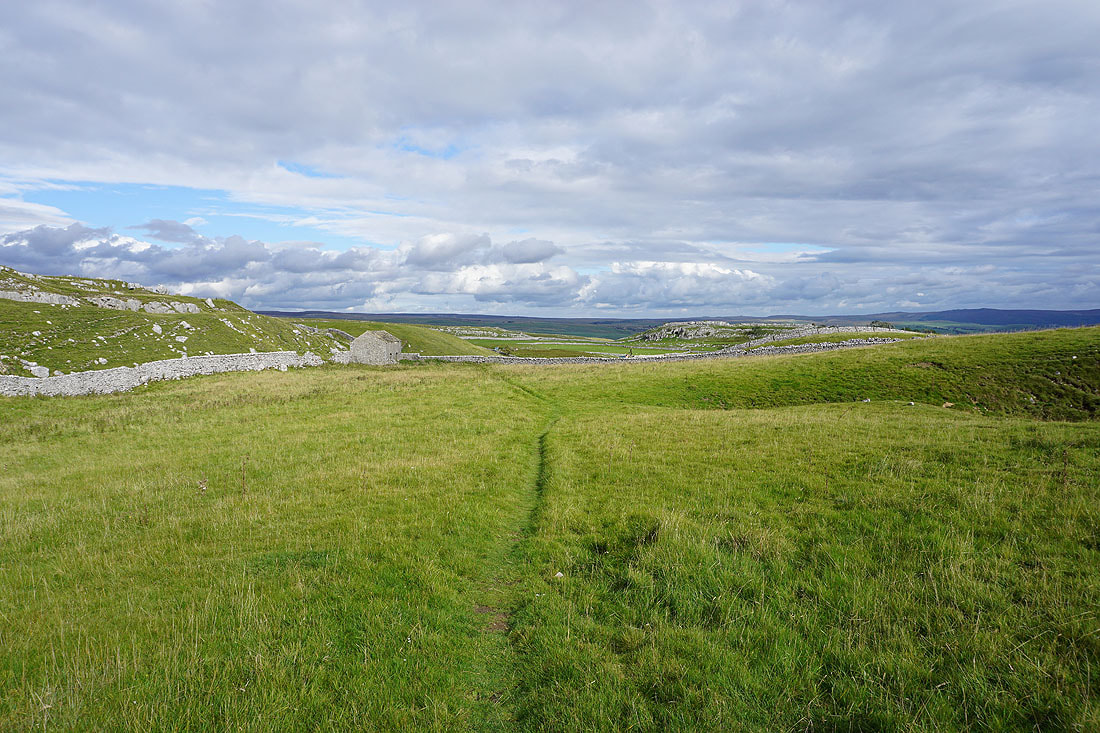
From Malham Moor I take the footpath..

..then bridleway to Malham Moor Lane
Looking east to Cave Scar
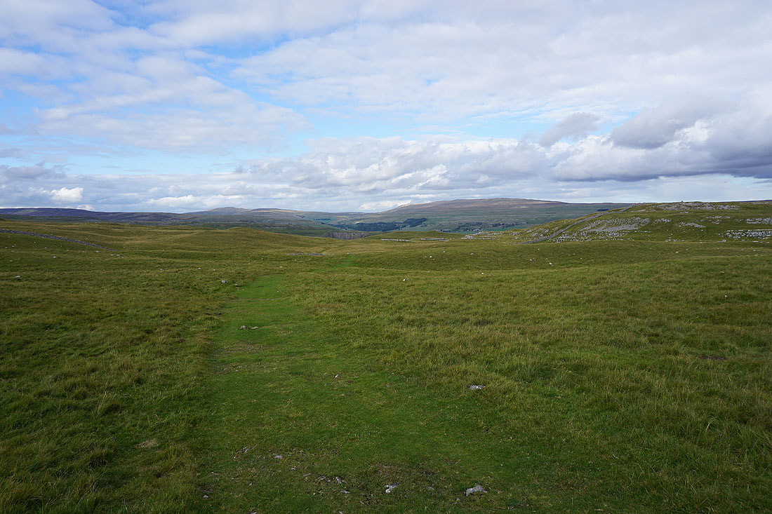
Buckden Pike and Great Whernside in the distance as I head north along the bridleway to Mastiles Lane
Heading down Mastiles Lane to Kilnsey..


A final shot of the River Wharfe from Conistone Bridge