25th August 2018 - Ingleborough
Walk Details
Distance walked: 13.6 miles
Total ascent: 2916 ft
OS map used: OL2 - Yorkshire Dales, Southern & Western areas
Time taken: 8.5 hrs
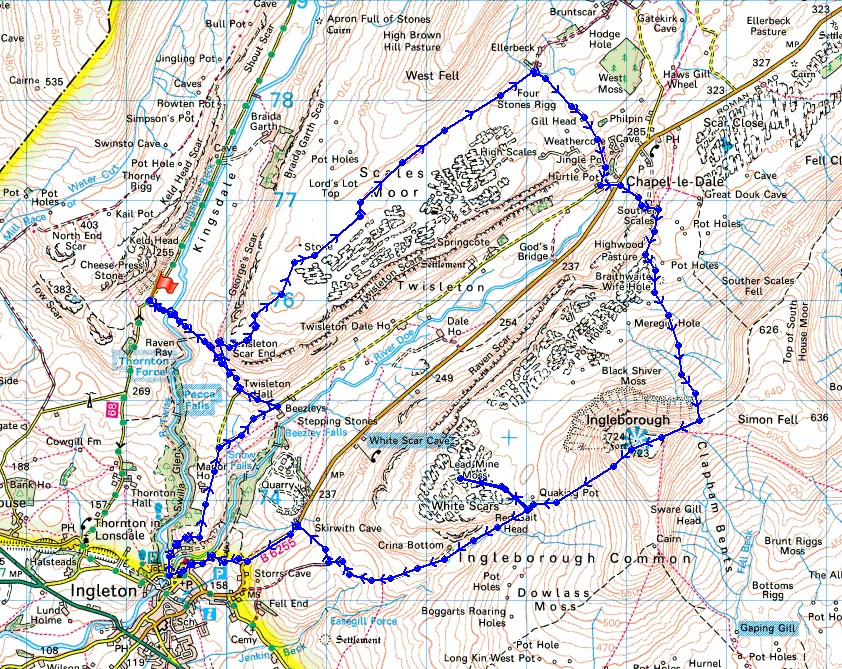
Route description: Thornton Lane-Kingsdale-Twisleton Scar End-Ewes Top Moor-Scales Moor-Ellerbeck Gill-Chapel le Dale-Souther Scales-Southerscales Scars-Humphrey Bottom-Ingleborough-White Scars-Crina Bottom-Fell Lane-Skirwith-B6255-Storrs Common-Ingleton-Oddie's Lane-Twisleton Hall-Twisleton Scar End-Kingsdale-Thornton Lane
I was in two minds when I set off this morning about whether to do Whernside or Ingleborough from Kingsdale. I should have stuck with my first thought of Whernside as I know the route and what I was letting myself in for. Getting back to Kingsdale from Ingleborough proved to be a bit of problem. I saw the public footpath going across the River Doe above the Ingleton Waterfalls Trail and assumed that I'd be able to use it with no issues. It was only when I got there and saw that the stepping stones just weren't usable that I realised the error in my decision making, and to add insult to injury the stepping stones a little further upstream were no good either. A long detour down into Ingleton was the result. That said, the walk itself was thoroughly enjoyable with lots of sunny spells, though with a strong and cool breeze on the summit of Ingleborough. That came as a bit of a shock as I'd gotten used to the warm weather of this summer.
From the layby at the top of the Thornton in Lonsdale to Kingsdale road I set off by taking the byway across Kingsdale Beck to reach Twisleton Scar End. I then took the bridleway north across Ewes Top Moss and Scales Moor to Ellerbeck Gill where I picked up the bridleway down to Chapel-le-Dale. After crossing the B6255 I followed the footpath to Souther Scales and from just above the farm the path south through Southerscales Scars to Humphrey Bottom and up to the summit of Ingleborough. After a break and a wander around the summit plateau I left by taking the path towards Ingleton. A detour out onto the limestone pavement of White Scars was made on the way down and after passing Crina Bottom I followed the track of Fell Lane towards Ingleton. I left Fell Lane for the footpath north to the B6255 at Skirwith where I had planned to head down to and across the River Doe. That didn't work out so I had to walk down the road towards Ingleton until I reached the byway across Storrs Common that took me down into the centre of the village. I left Ingleton by Oddie's Lane which I followed uphill until I reached the bridleway to Twisleton Hall and Twisleton Scar End where I picked up my outbound route back to the Thornton in Lonsdale to Kingsdale road.
Route map
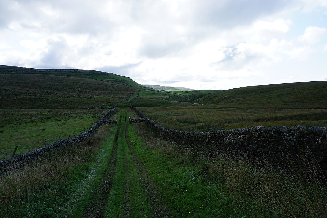
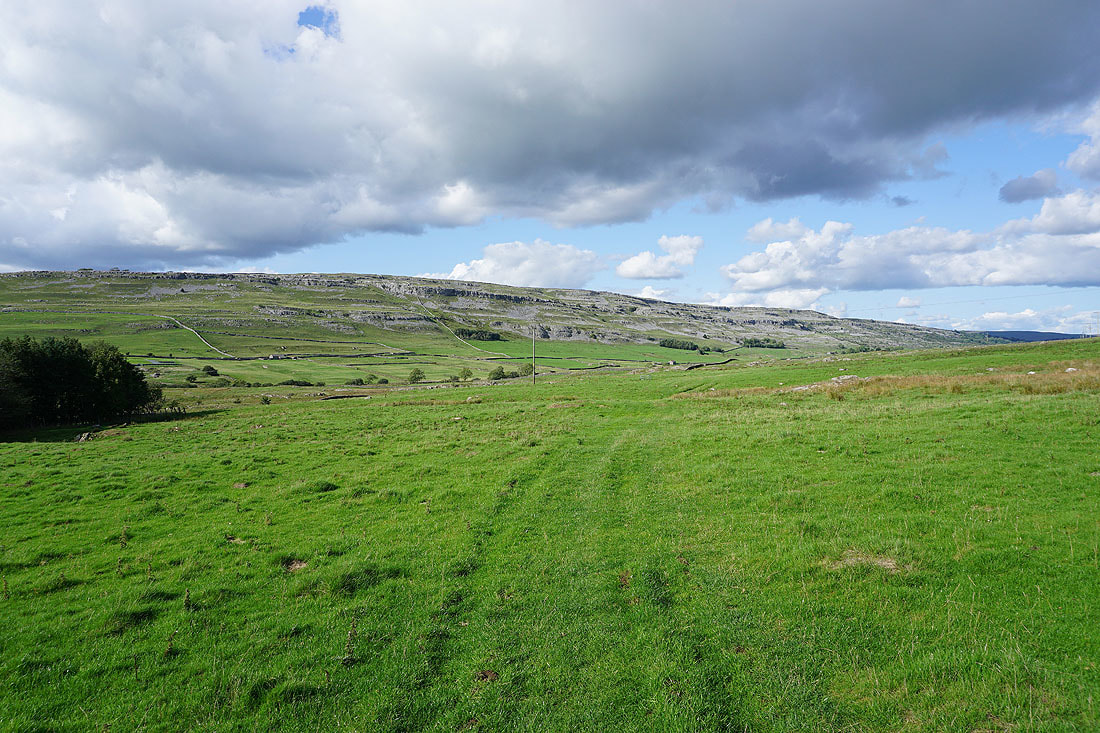
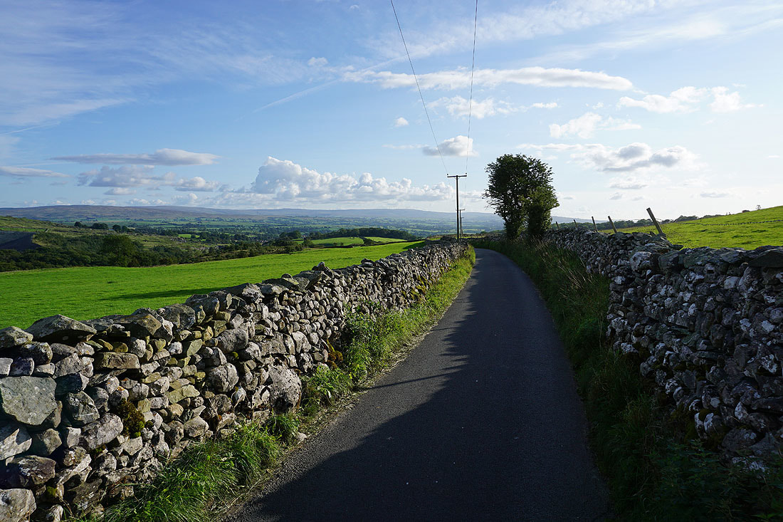
Setting off for the footbridge across Kingsdale Beck
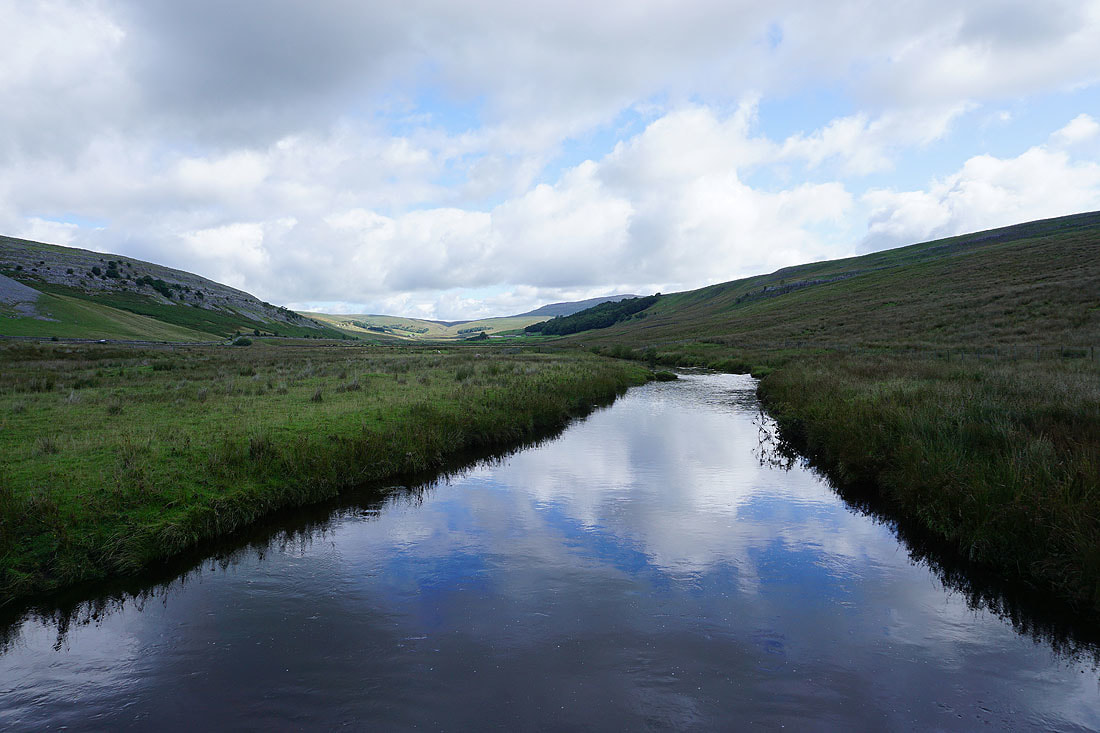
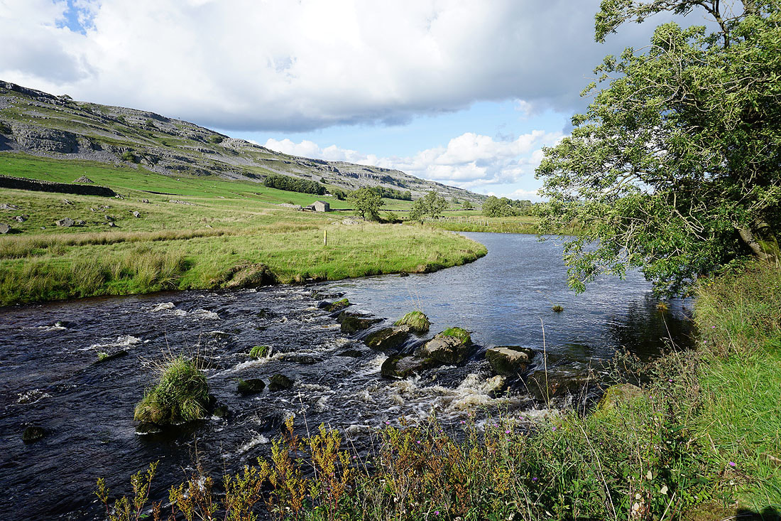
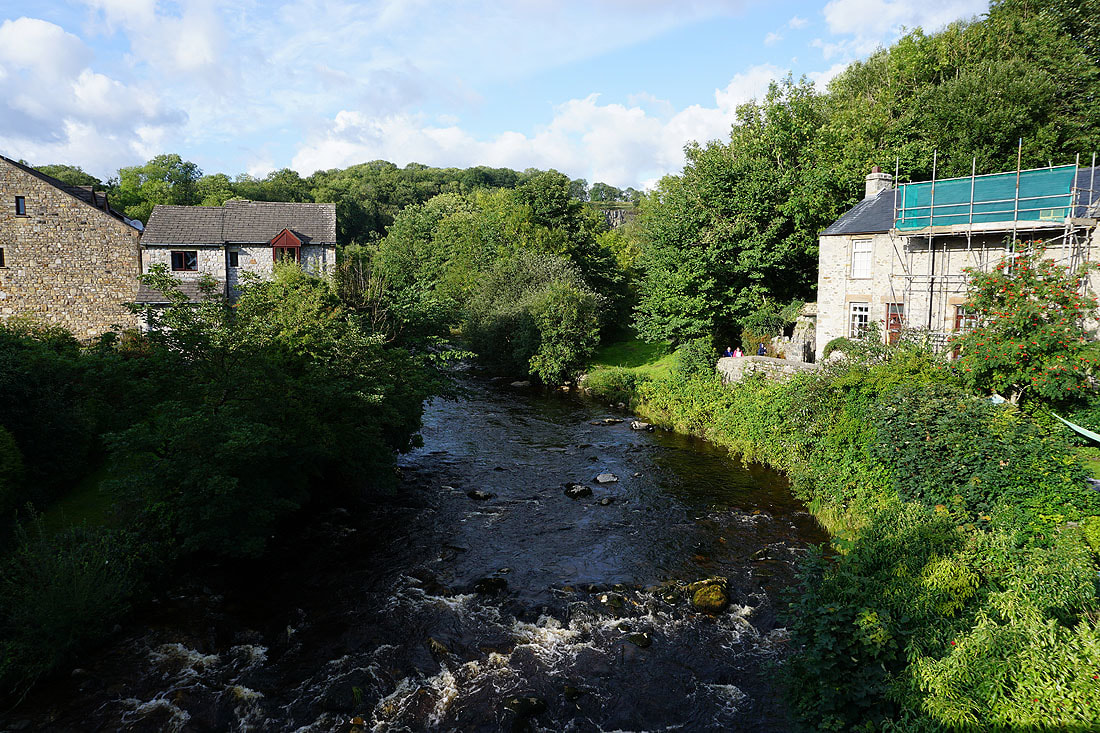
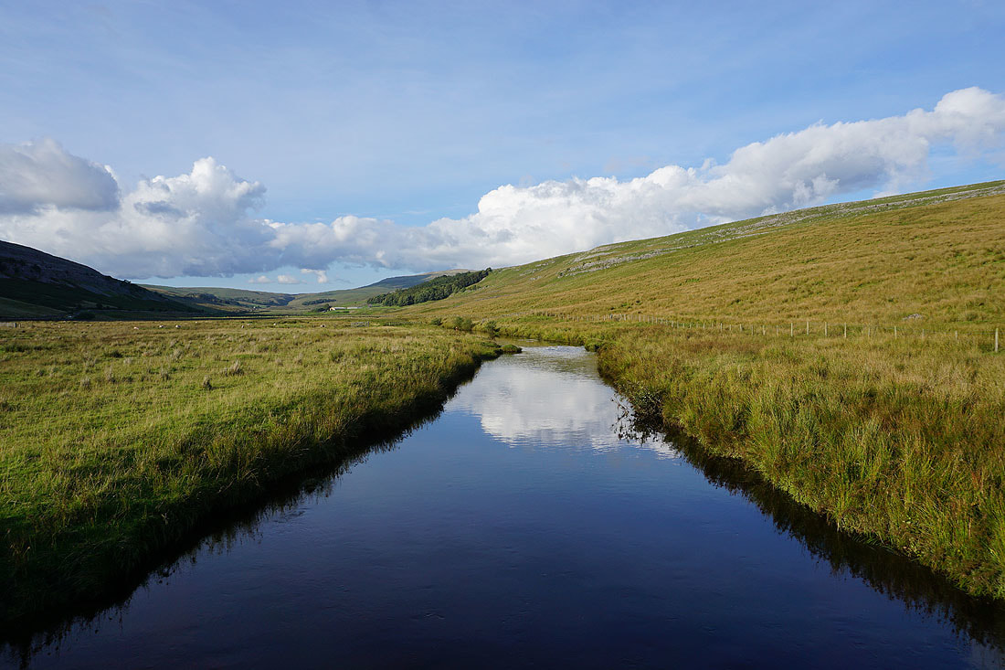
Kingsdale Beck
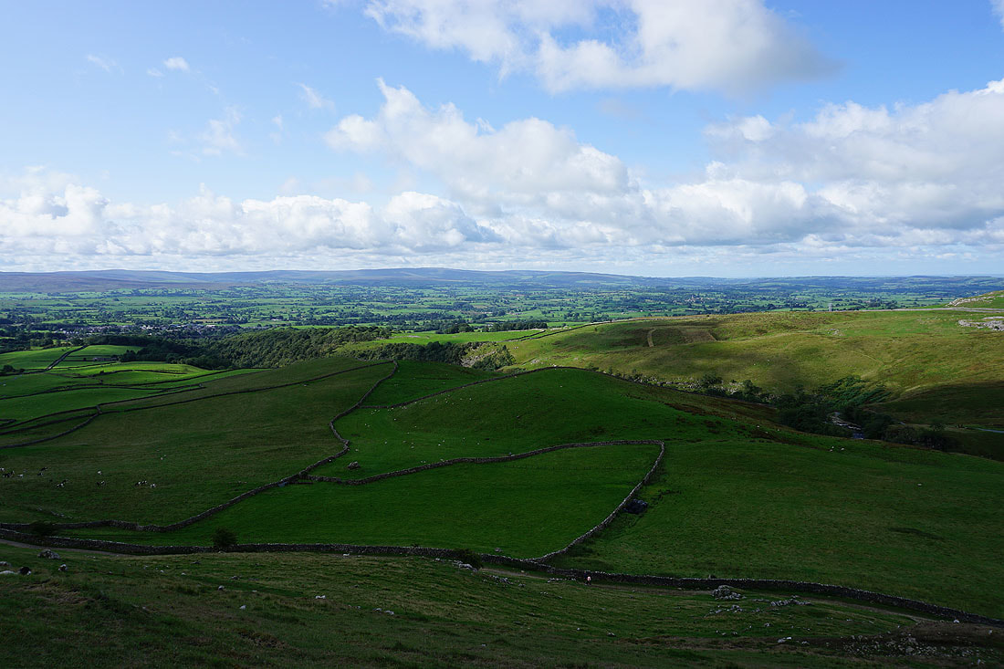
The gorge that carries the River Twiss with the Forest of Bowland in the distance as I take the bridleway up onto Twisleton Scar End
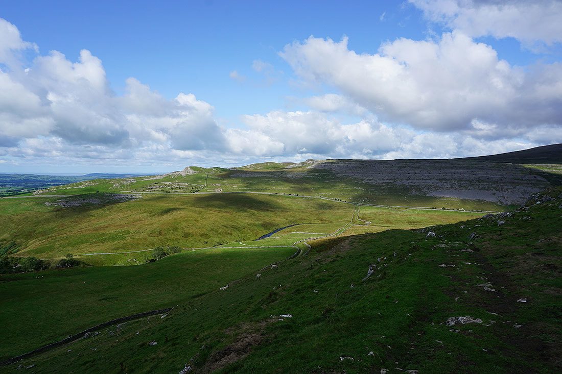
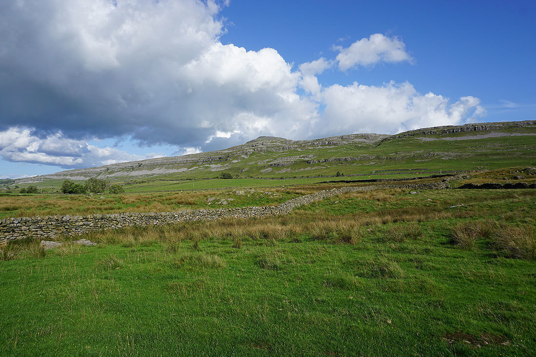
Hunt's Cross and Keld Head Scar on the other side of Kingsdale
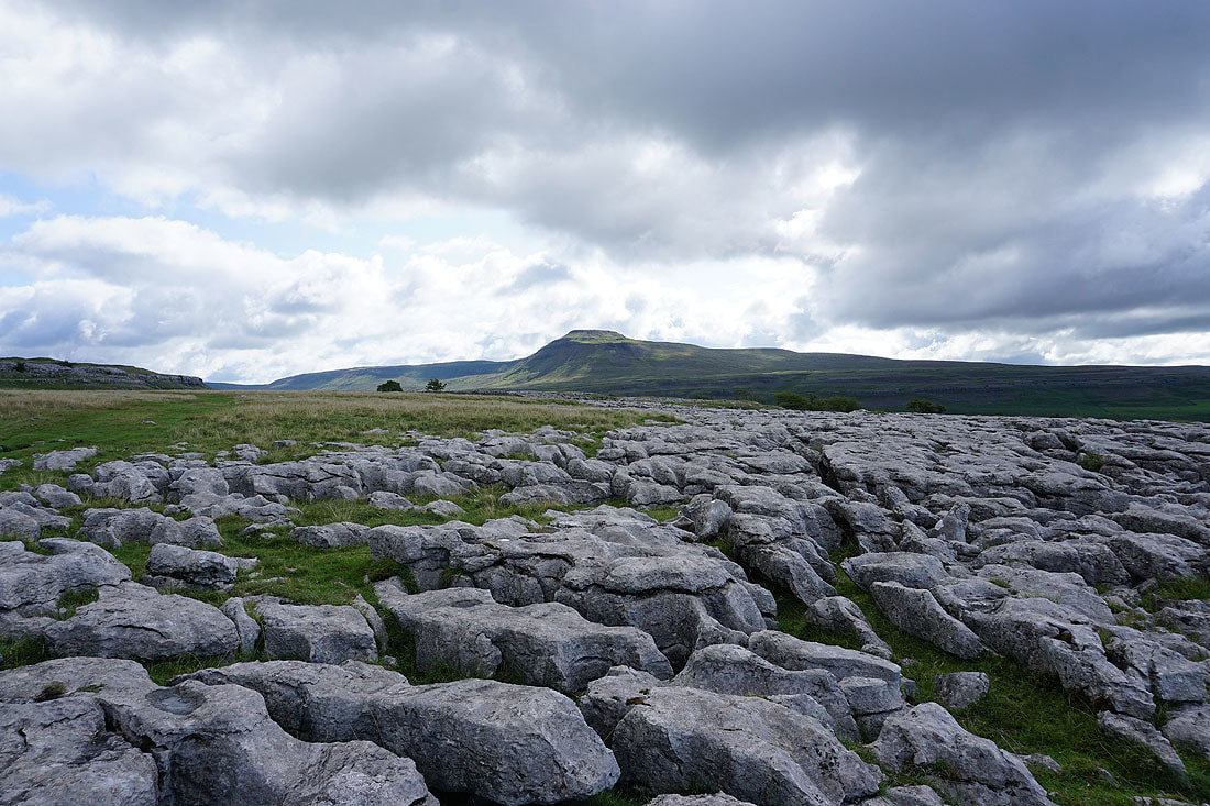
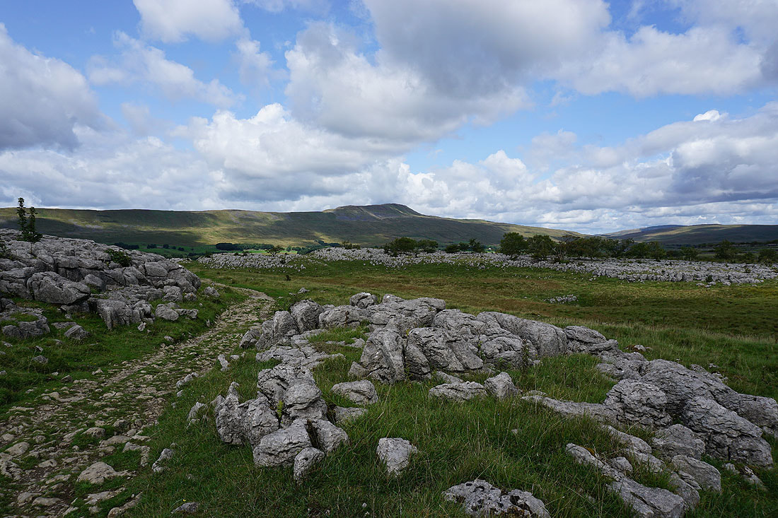
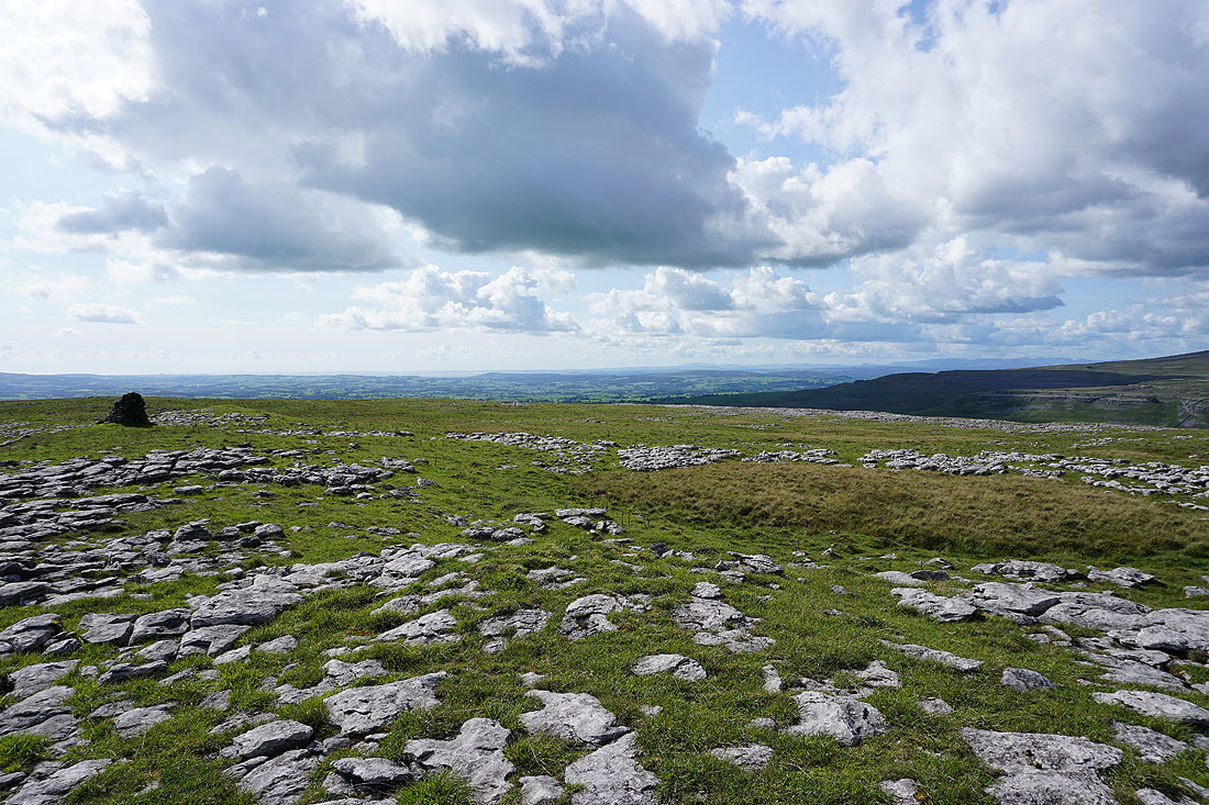
Ingleborough from the limestone pavement on Twisleton Scar End
The bridleway heads north across the rather boggy ground of Ewes Top Moss
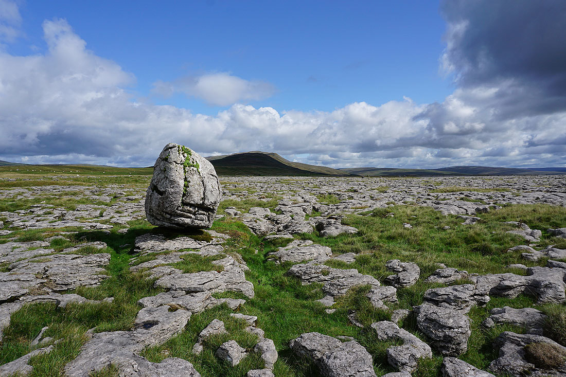
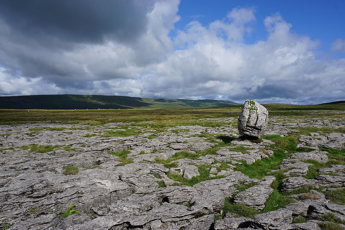
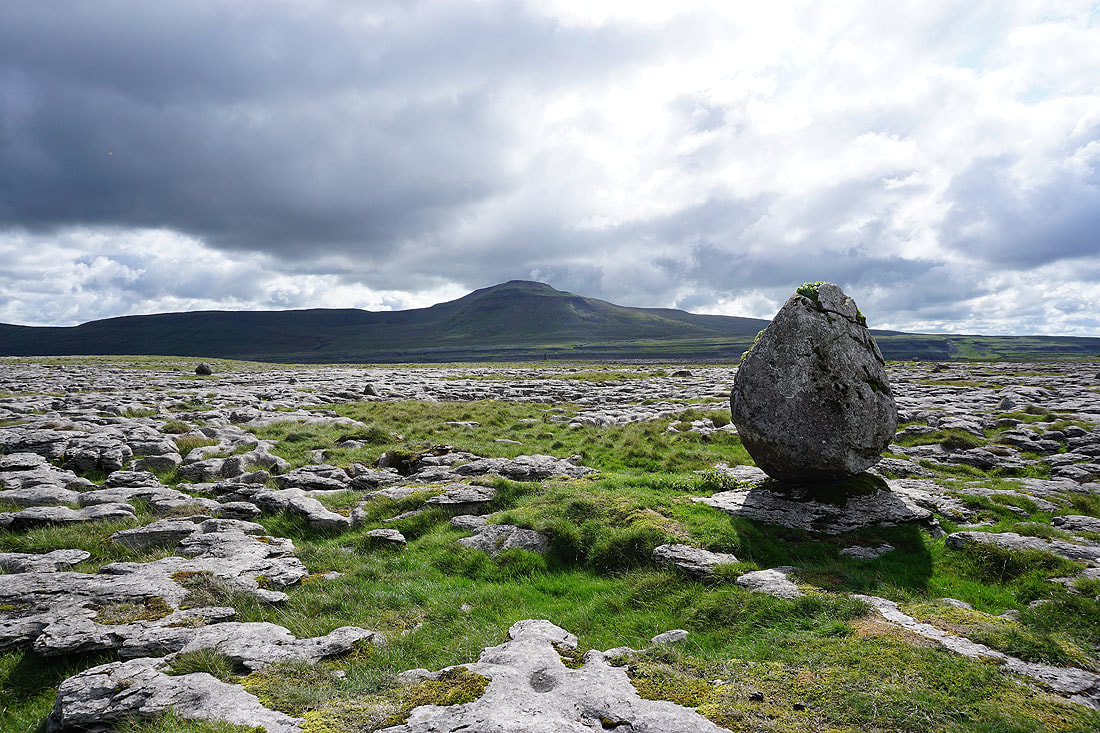
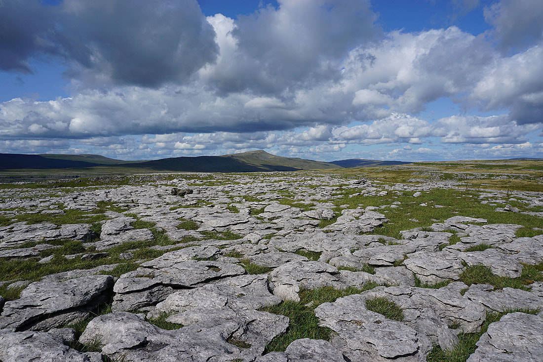
A perched boulder on the limestone pavement provides a subject for a few photos. Looking towards Whernside.
The Gragareth to Great Coum ridge
and Ingleborough
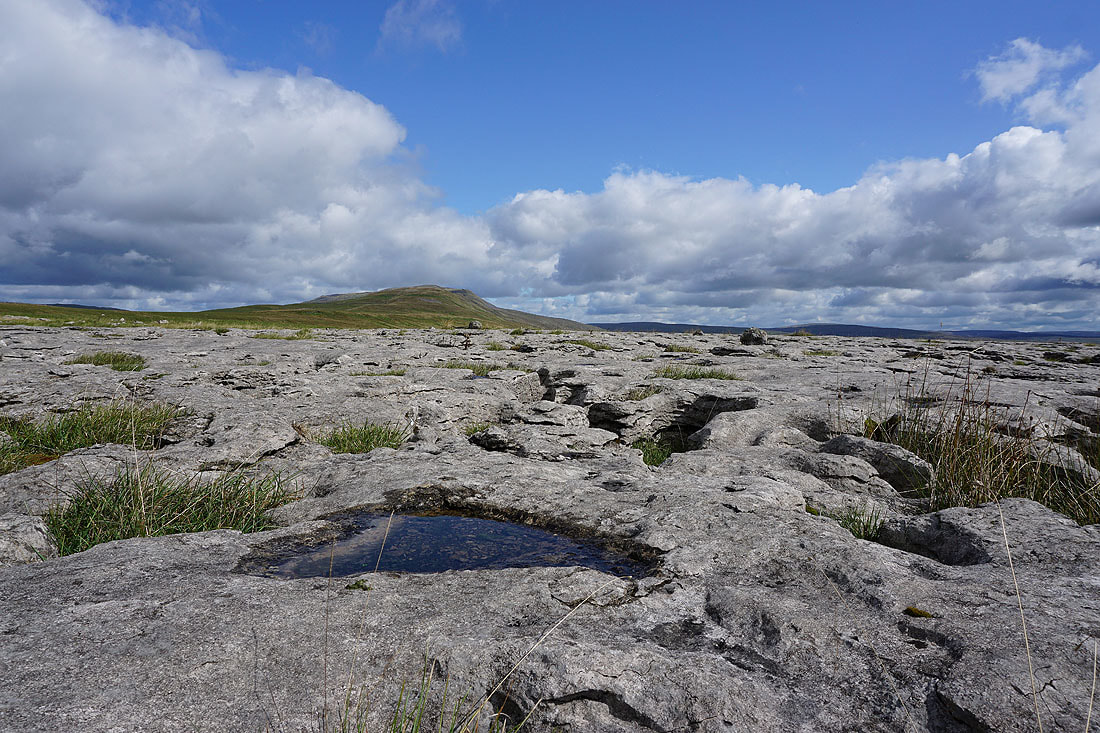
Up close with the limestone
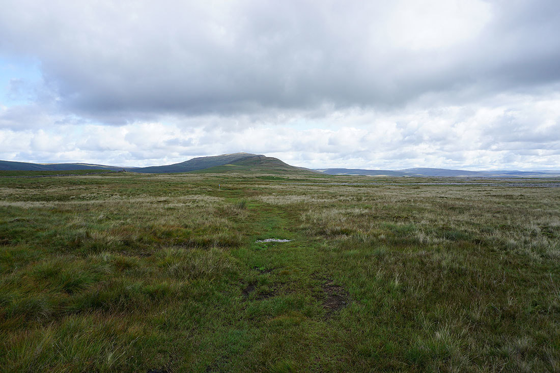
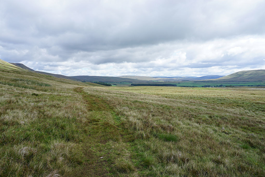
I continue to follow the bridleway north across Blake Bank Moss
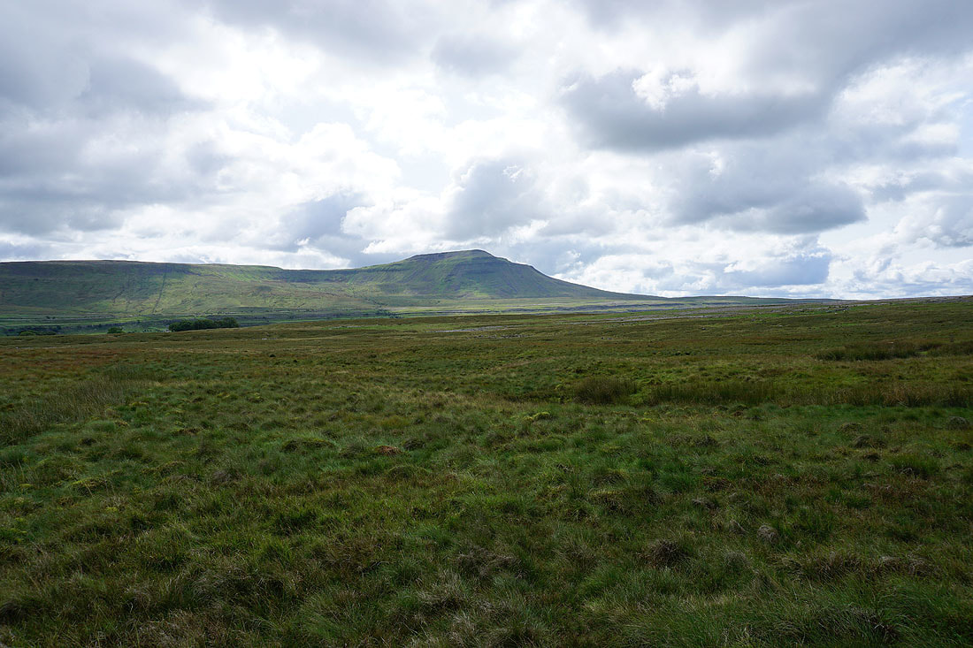
Simon Fell and Ingleborough
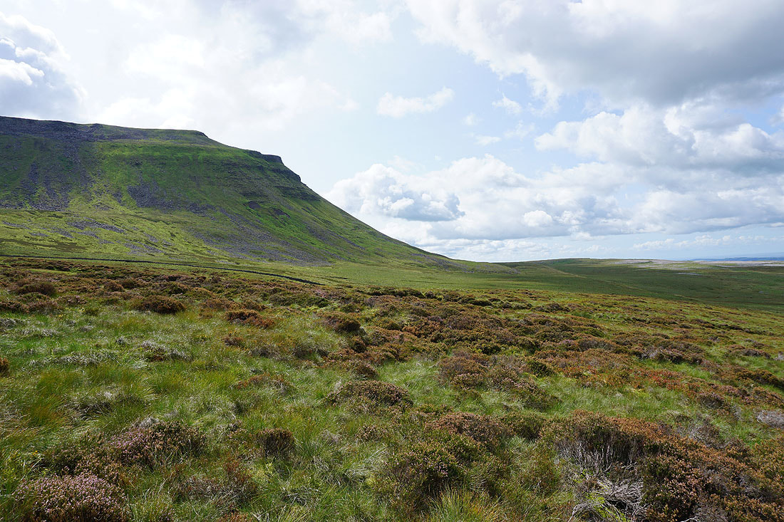
Whernside above as I reach Ellerbeck Gill, and this is where I reach the bridleway down to Chapel-le-Dale
|
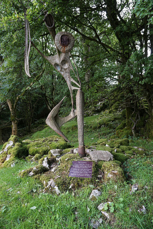
This statue is next to the track down to Chapel-le-Dale. Apparently a statue stood for many years on this spot until it was vandalised on 27th August 1983 and found in 30ft of water at the bottom of Hurtle Pot. Divers recovered it and it was erected again as found. It was the creation of the late Charles l'Anson. The plaque has the information on it.
|
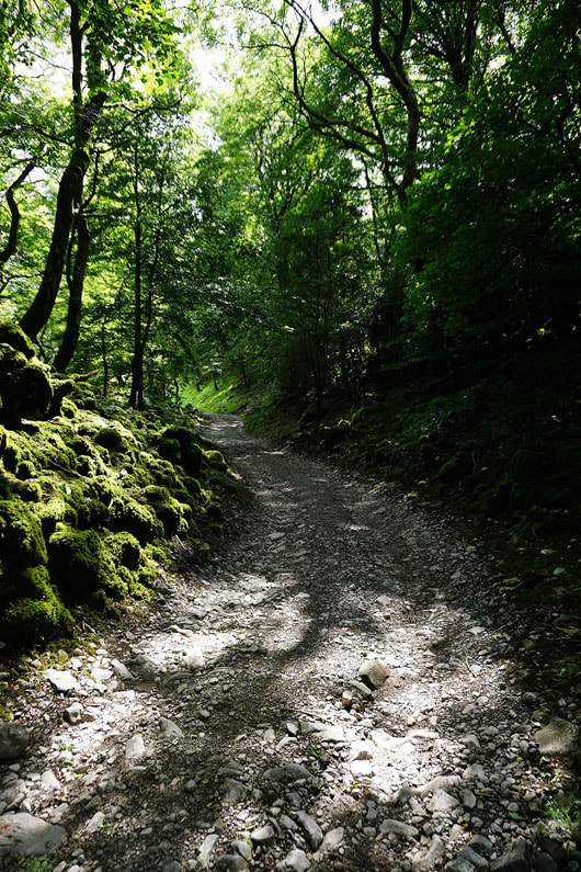
Dappled shade on the track down to Chapel-le-Dale
|
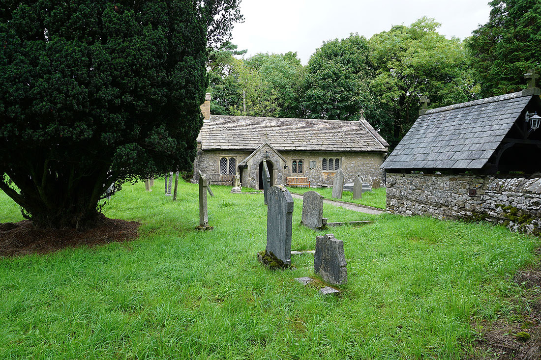
St. Leonard's Church in Chapel-le-Dale
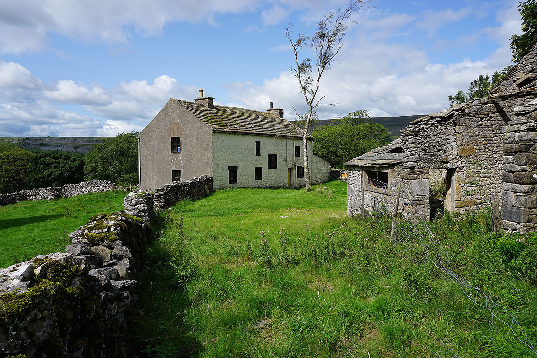
After crossing to the other side of the valley I pass the farm of Souther Scales
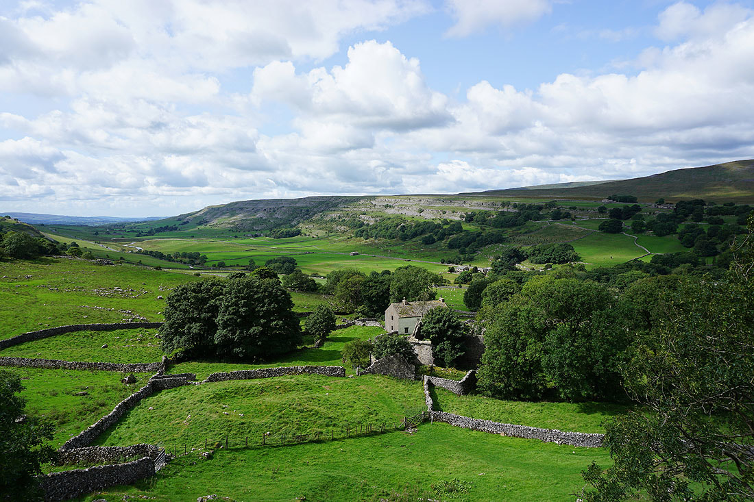
Looking across Chapel-le-Dale to Twisleton Scars from above Souther Scales
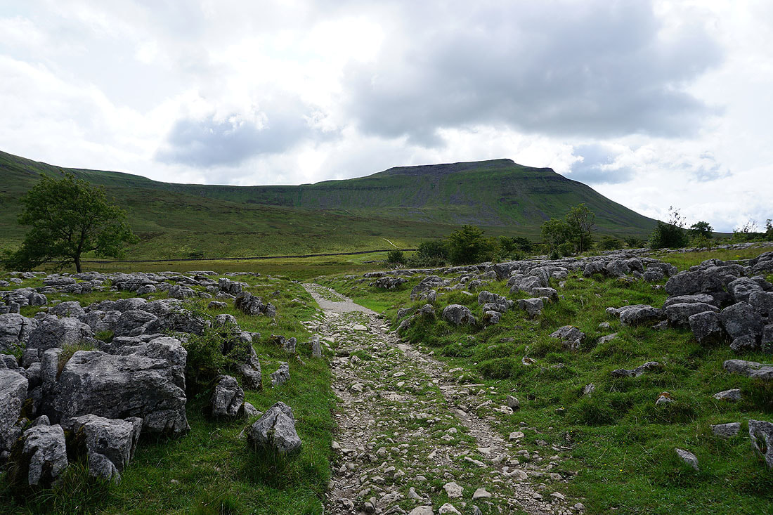
Ingleborough ahead as I make my way through Southerscales Scars
Whernside in the distance behind me
and again from the path to Humphrey Bottom
Ingleborough side-on
and looking back to Simon Fell from the path up to the summit
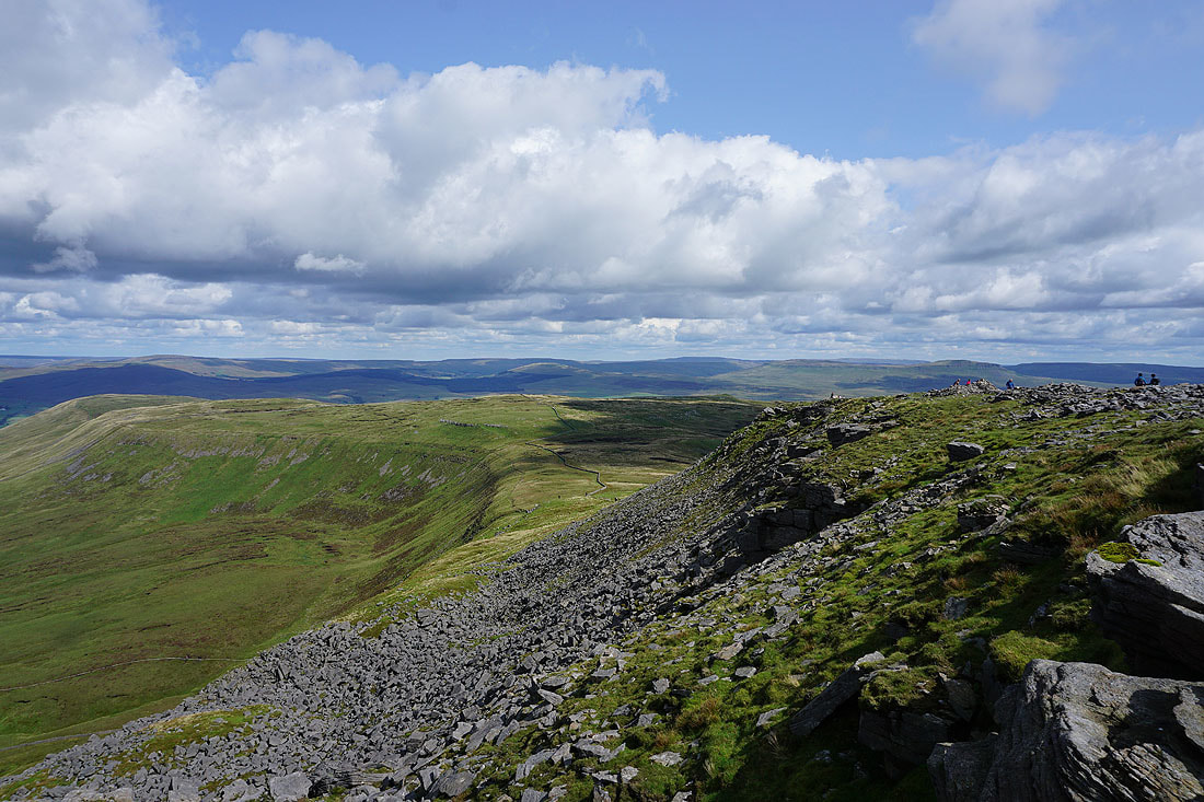
Looking across Chapel-le-Dale to Twisleton Scars and Gragareth as I reach the summit plateau
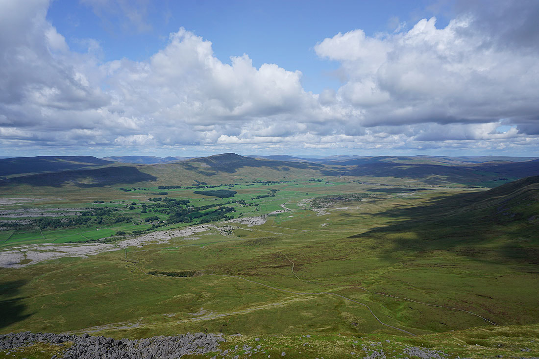
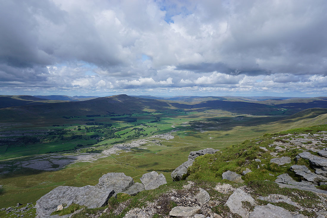
Great Coum, the Howgills, Whernside and Ribblehead with Southerscales Scars below
Simon Fell with Dodd Fell Hill, Buckden Pike, Plover Hill and Penyghent in the distance
Gragareth, Great Coum and Twisleton Scars with a long line of Lake District fells in the far distance
The Howgills, Whernside, Great Knoutberry Hill, Ribblehead and Great Shunner Fell
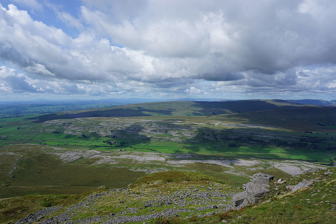
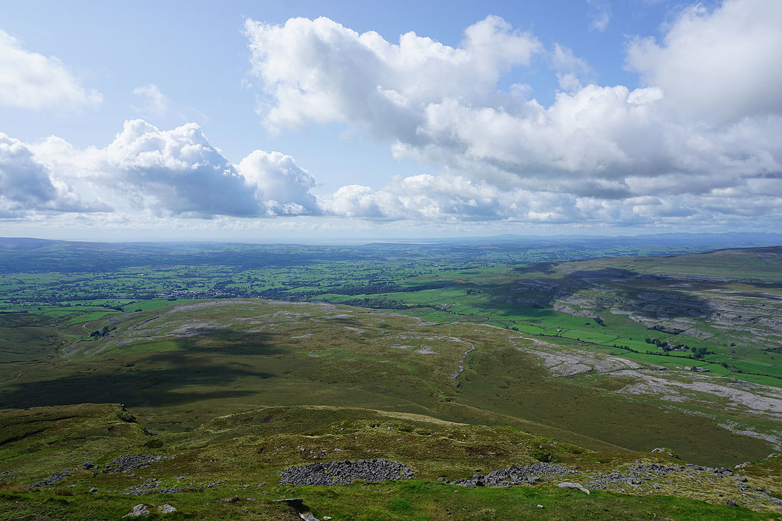
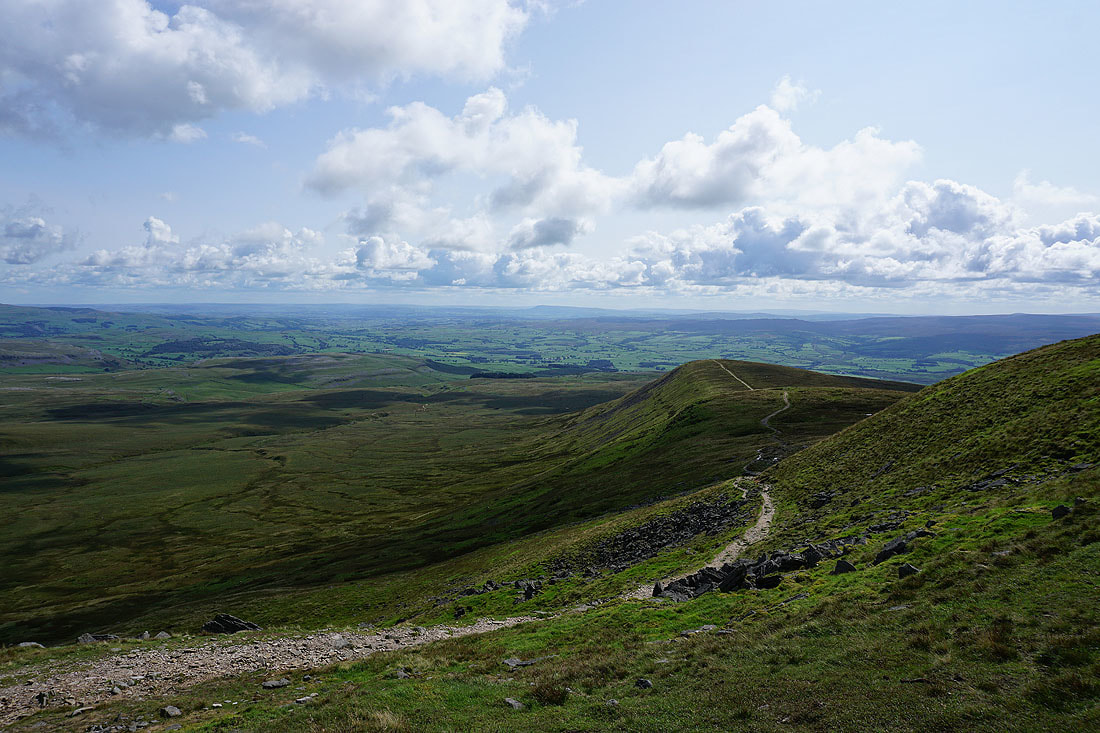
Ingleton and White Scars below with Morecambe Bay in the distance as I reach the western end of the plateau
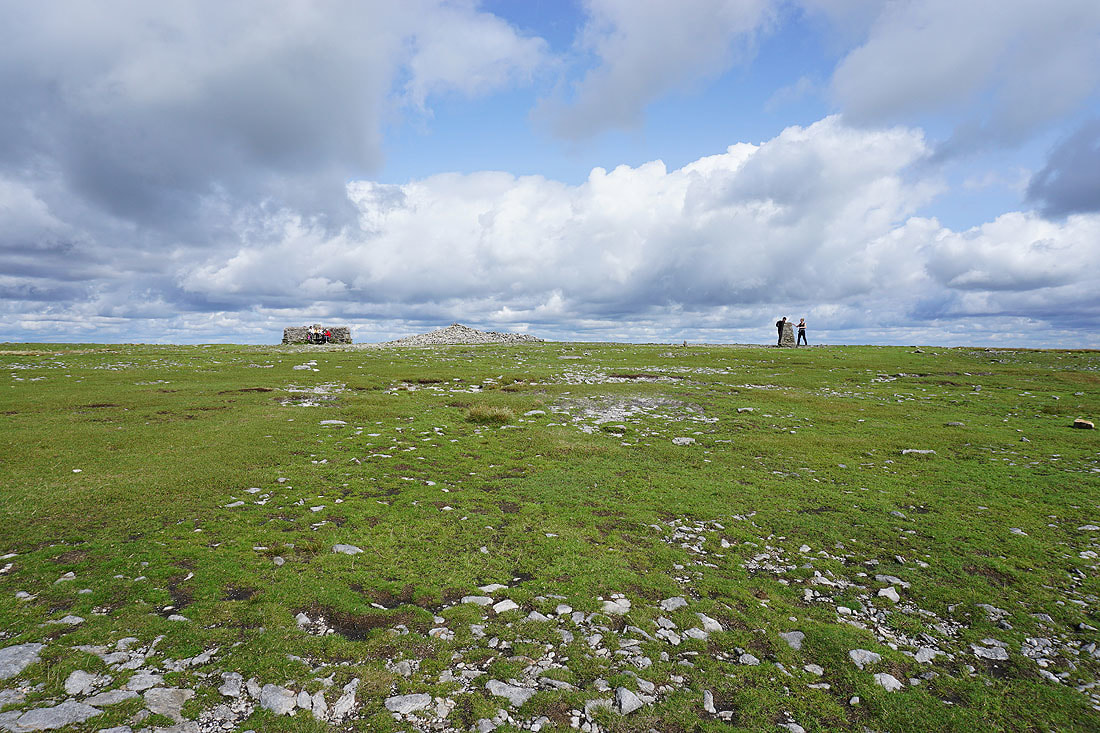
The cross shelter, summit cairn and trig point
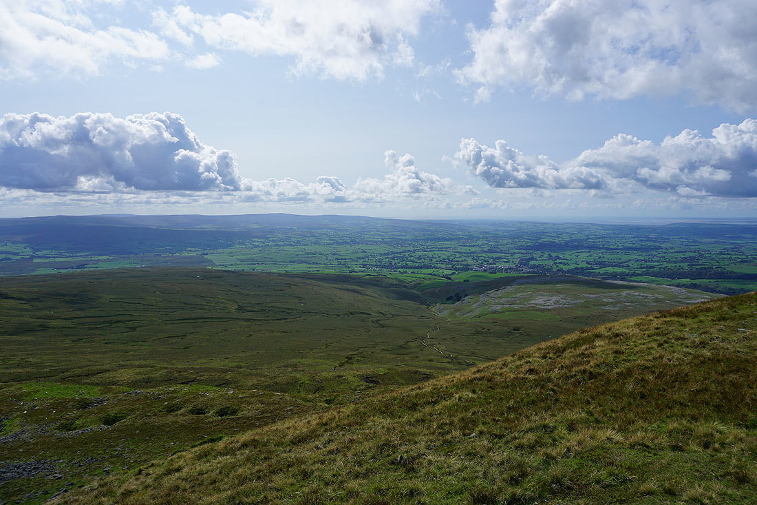
The Forest of Bowland in the distance
Along with Pendle Hill. The path heads for Little Ingleborough and Clapham via Trow Gill
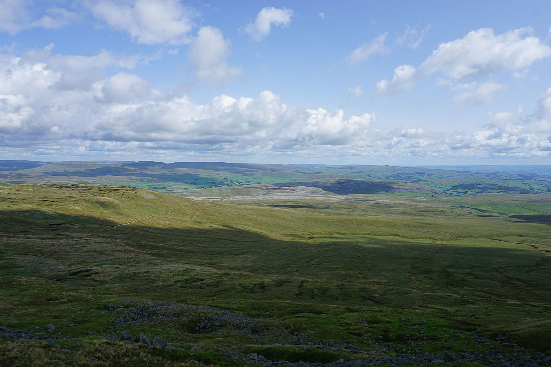
Penyghent, Fountains Fell, Moughton and the hills above Settle
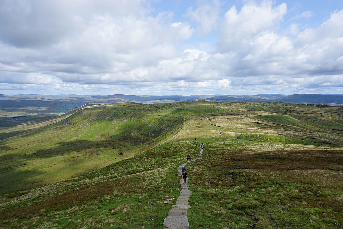
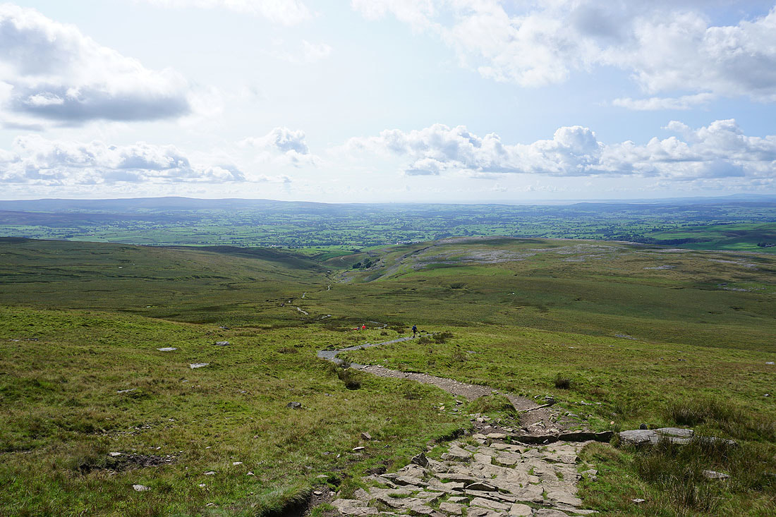
Having done a full circuit of the plateau, time to head down, on the path to Ingleton
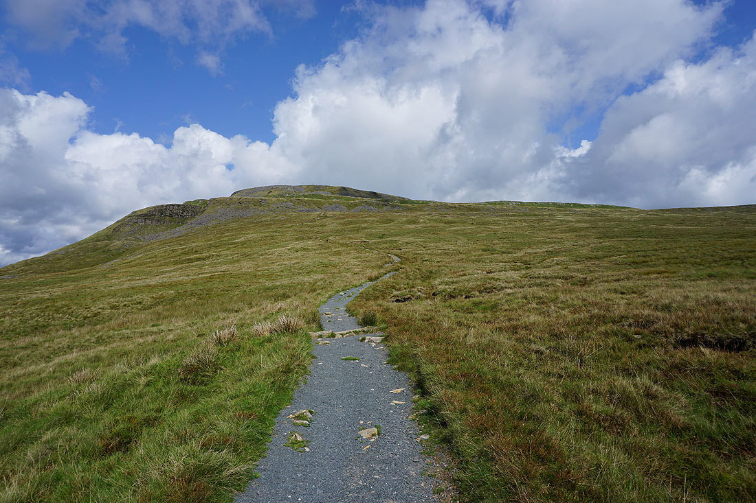
Looking back to the summit
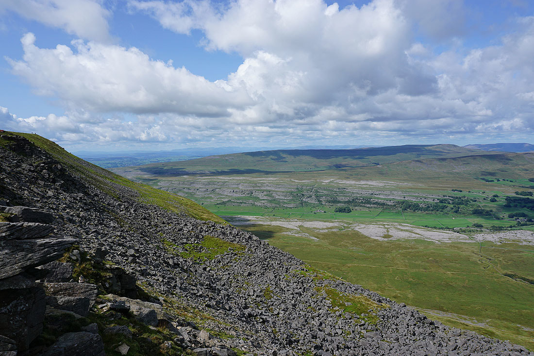
A detour out onto the limestone pavement of White Scars was a must. Morecambe Bay in the distance.
Looking towards Whernside
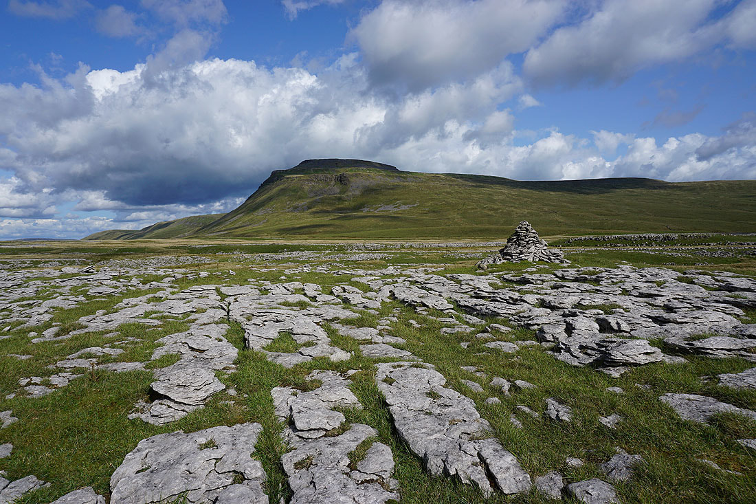
and a fantastic view of Ingleborough. A good enough reason for me to head out here.
Looking back to Ingleborough from Crina Bottom
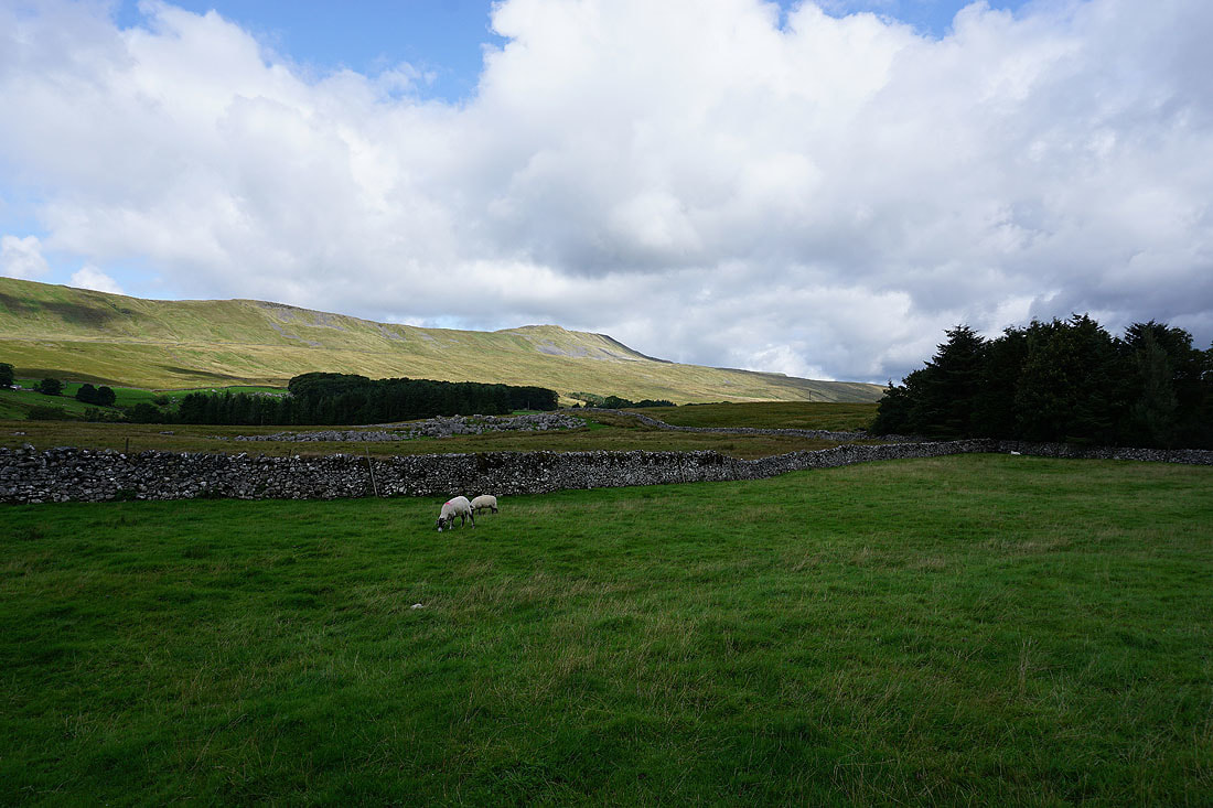
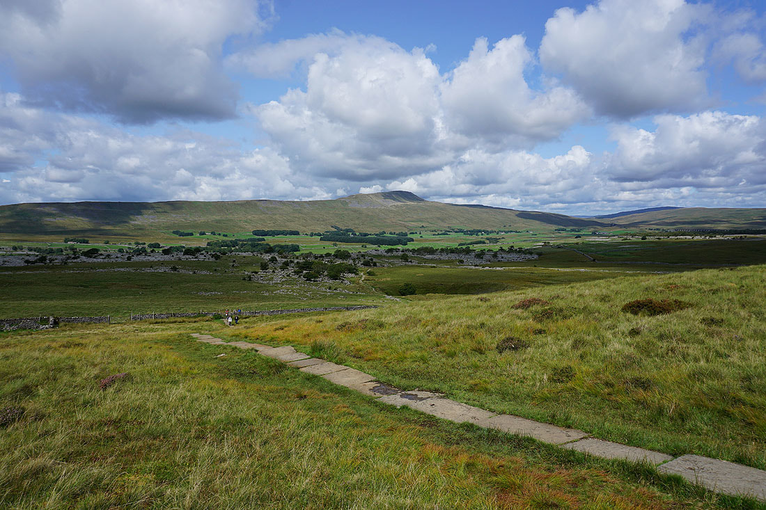
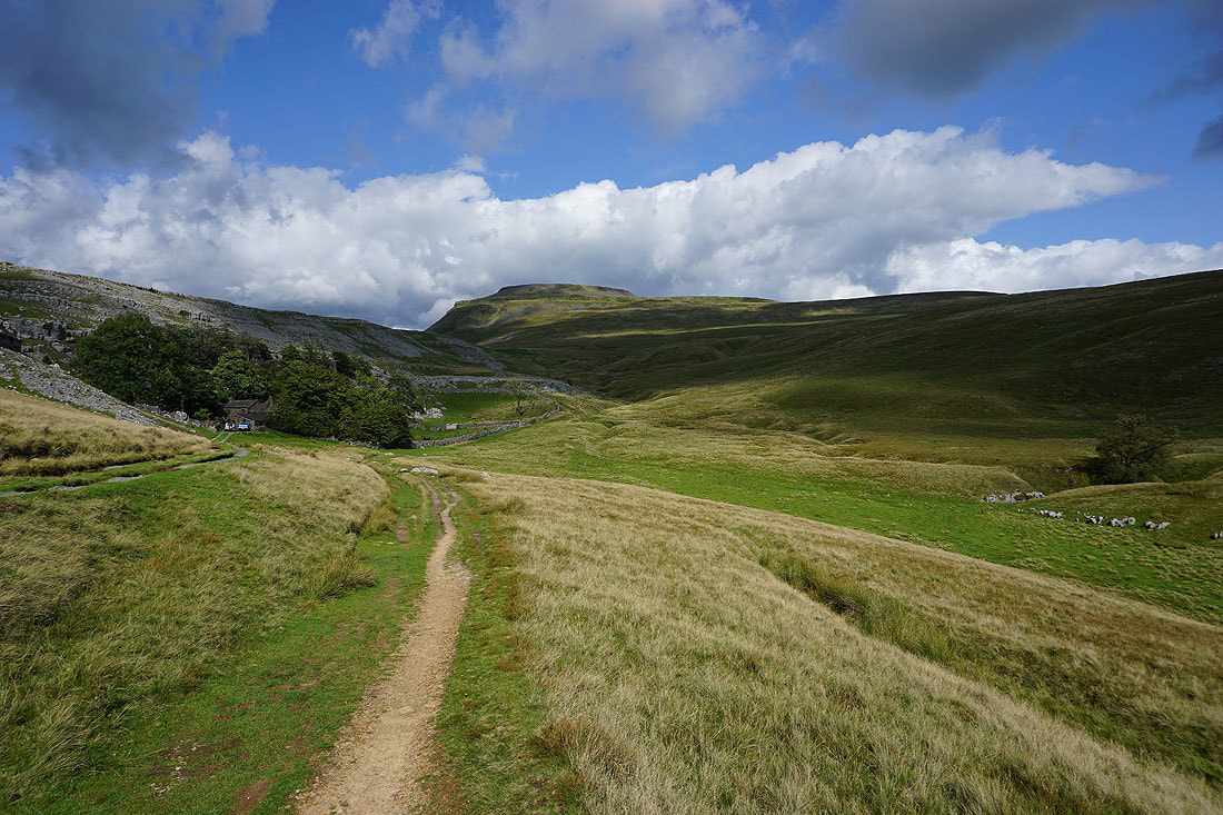
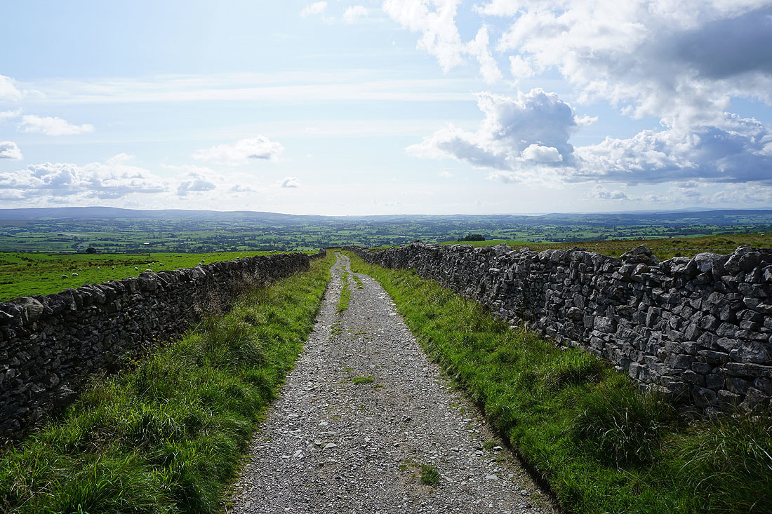
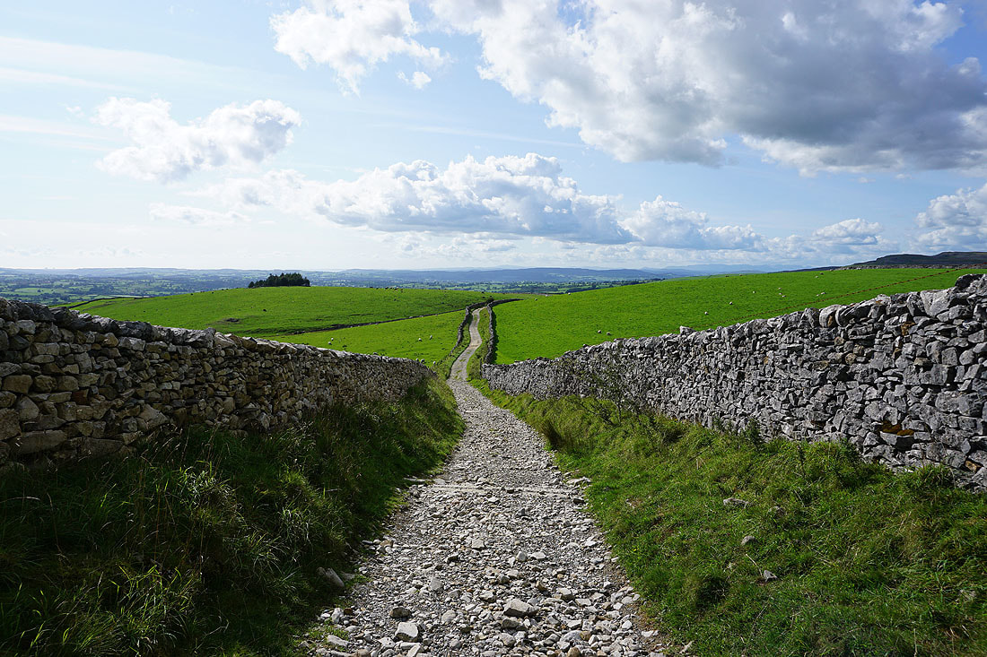
There are great views as I walk down the track of Fell Lane towards Ingleton...
The track is left behind for the footpath down to the road at Skirwith
and then there's the footpath down to the stepping stones across the River Doe. Great view of Twisleton Scars in front of me.
There was no chance of getting across the first set of stepping stones and I don't fancy giving these ones a go either that are a bit further upstream. I'm going to have to walk down into Ingleton to cross the river.
Raven Scar and Ingleborough from the same spot
After having to walk down the road towards Ingleton I can take the byway across Storrs Common and down into the centre of the village
Finally crossing the River Doe
A long walk uphill along Oddie's Lane towards Twisleton Scar End...
Looking back with the Forest of Bowland in the distance
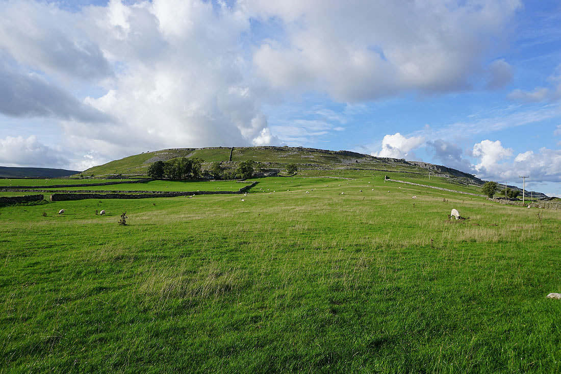
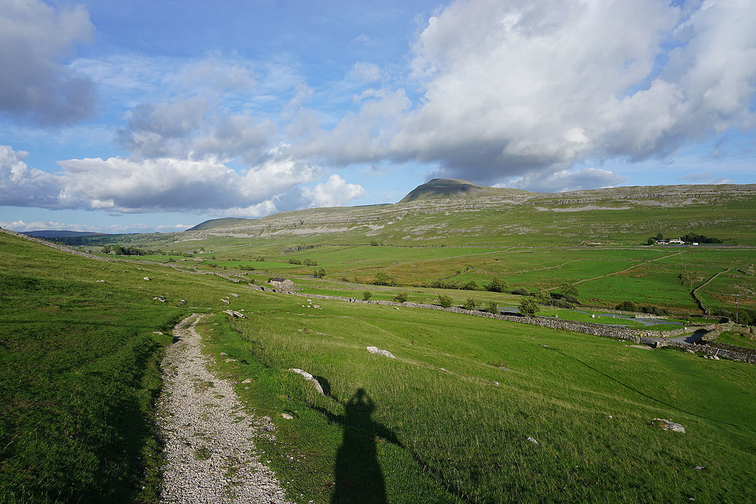
There's a great view of Raven Scar and Ingleborough from the bridleway up to Twisleton Hall
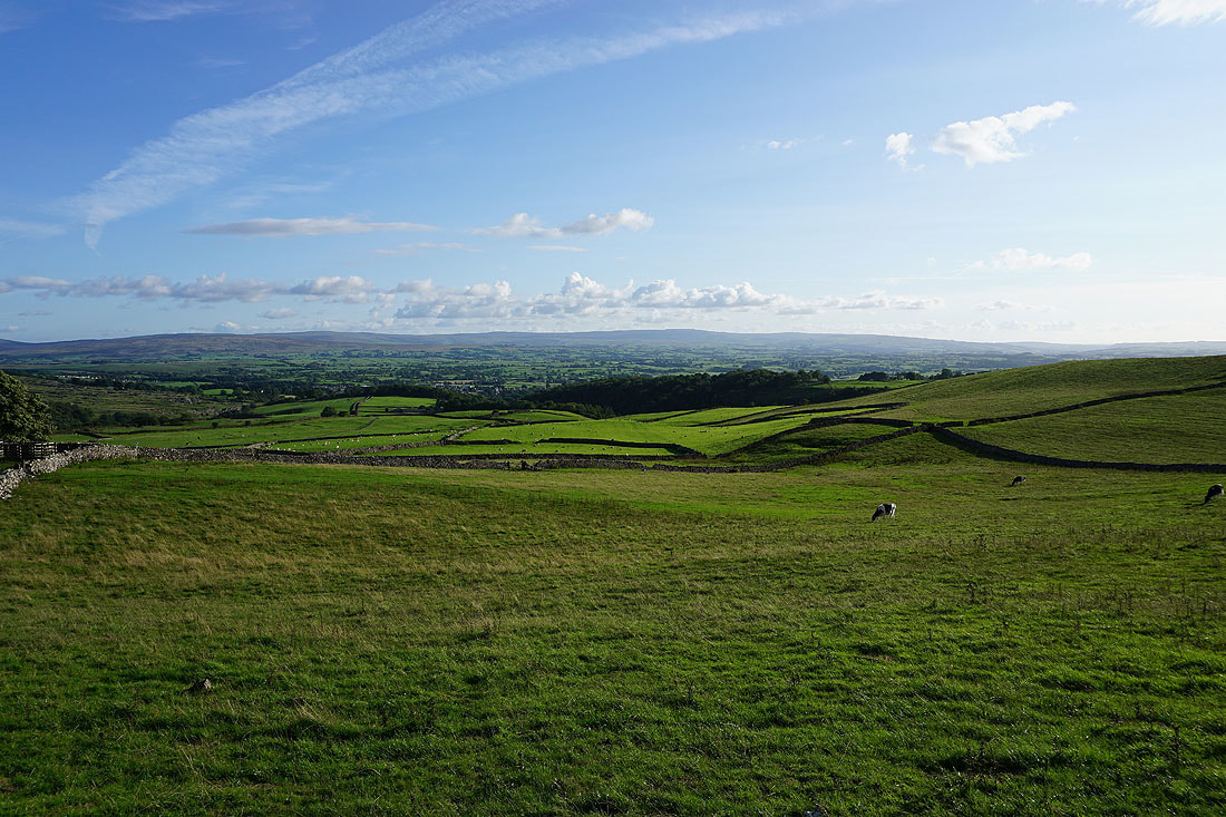
The Forest of Bowland in the distance from the bridleway
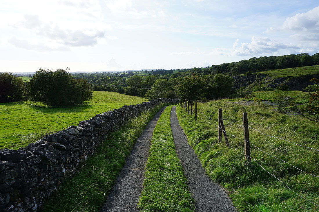
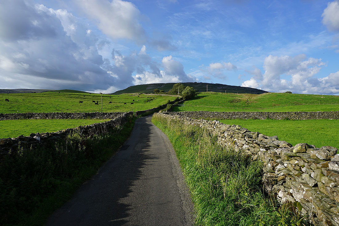
The crossing over Kingsdale Beck ahead and the end is finally in sight
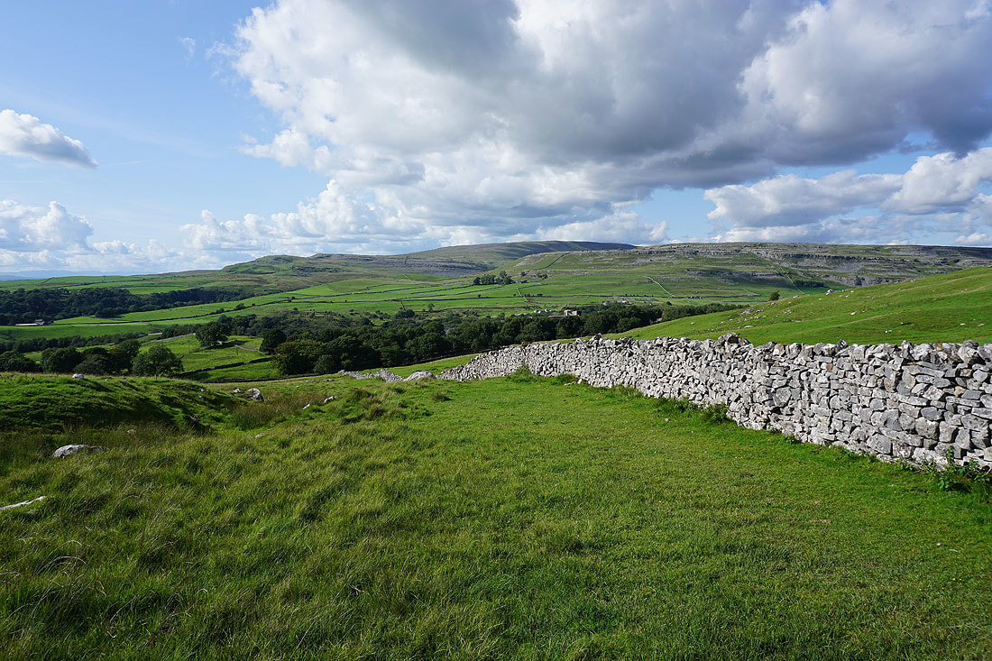
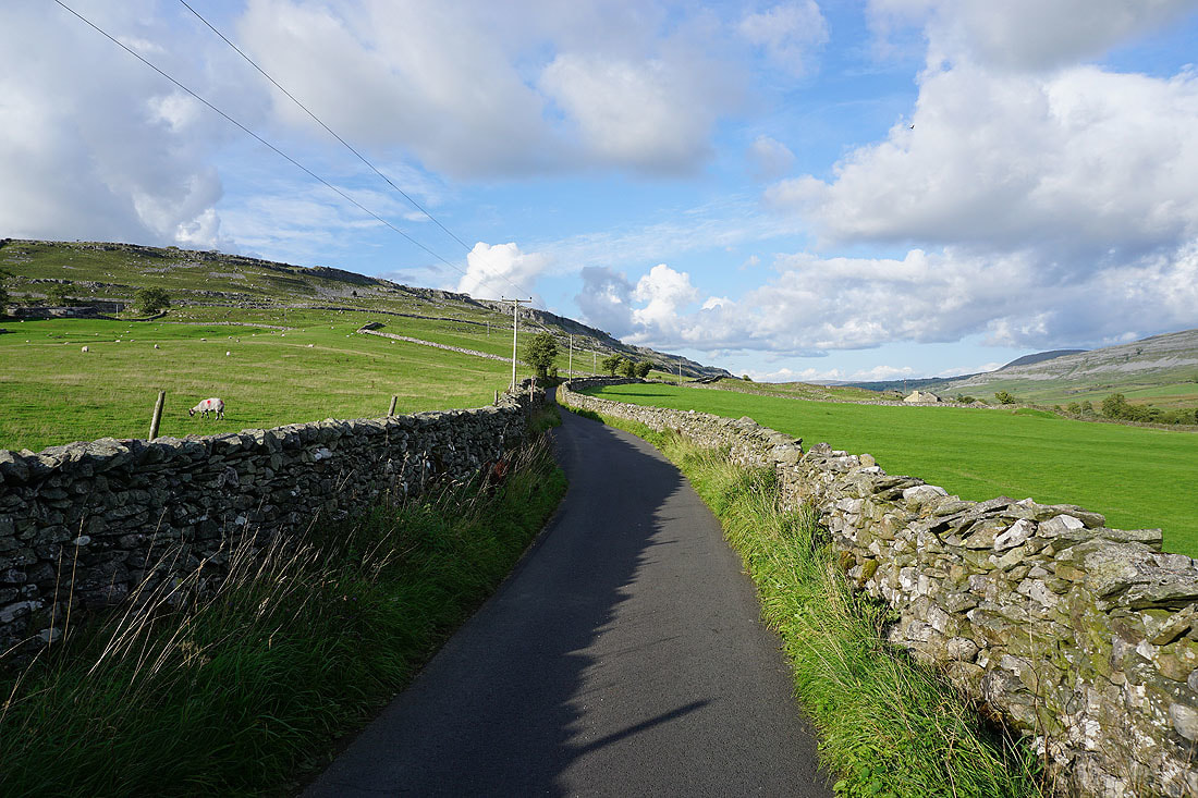
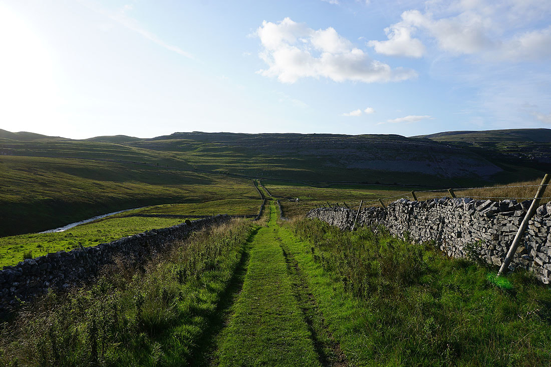
Evening light over Kingsdale
