25h February 2023 - Winter Hill and Anglezarke Moor
Walk Details
Distance walked: 13.6 miles
Total ascent: 1996 ft
OS map used: 287 - West Pennine Moors
Time taken: 7 hrs
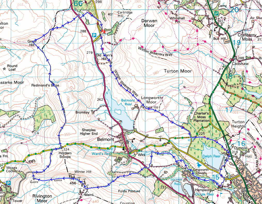
Route description: Crookfield Road car park-Crookfield Road-Witton Weavers Way-Stones Bank Road-Dimple Road-Longworth Road-Longworth Clough-Ornamental Reservoir-Greenhill Farm-A675-Winter Hill-Noon Hill-Belmont Road-Hordern Stoops-Hordern Pasture-Spitlers Edge-Great Hill-A675-Hollinshead Hall-Tockholes Road-Crookfield Road-Crookfield Road car park
I've not done a walk on the West Pennine Moors since I moved home nearly four years ago. When trying to decide where to go walking this weekend I realised that, and made up my mind to put that right. Anglezarke Moor is my favourite place to walk in the West Pennine Moors, so I knew that would be included in my route, but to make a full day of it I added Winter Hill, which I've not visited for more than ten years. I managed to include some new paths and bridleways on my route, the section of the Witton Weavers Way from Longworth Moor to Dimple was new, as was Dimple to Longworth Clough up to Ornamental Reservoir. The forecast was for a mostly cloudy and cold day with the chance of a shower, and that's the way it turned out. The brief breaks in the cloud during the afternoon to give views across sunlit moors were most welcome.
From the car park on Crookfield Road I took the short walk east by the road to where it turns sharp left to take the track on the right and the trail of the Witton Weavers Way. I then followed the Witton Weavers Way southeast across the slopes of Longworth Moor to Stones Bank Road, where I took the footpath opposite east by the road, then down to and across Stones Bank Brook, and then through woods and across fields to Dimple Road in the hamlet of Dimple. From Dimple Road I took a footpath south past Walmsley Unitarian Chapel, down to and across Delph Brook, and up to Longworth Road, which after a short walk east along I took a footpath south down into Longworth Clough. I then made my way west along the footpath up Longworth Clough to reach Ornamental Reservoir, from where I took the footpath up to Greenhill Farm and the A675. After walking a short distance west by the road I crossed over and took the footpath up Winter Hill to reach the trig point and summit, then made my way west across the moor to Noon Hill, for a pathless descent to the track of Belmont Road. I then walked north along the track to Rivington Road, made my way up the road to its top, and then took the path north onto access land and the moorland of Hordern Pasture, where I stopped for lunch. After this break I continued north across the moorland of Spitlers Edge to reach Great Hill, then east down the footpath to the A675 at Piccadilly. There was a brief walk up the road to reach a public footpath on the other side which I took to the ruins of Hollinshead Hall, then from there I followed a footpath southeast up to Tockholes Road, crossed this, and took the permissive path along a track south to reach the start of the track at the corner of Tockholes Road and Crookfield Road. From there I made my way back to the car park on Crookfield Road.
Route map
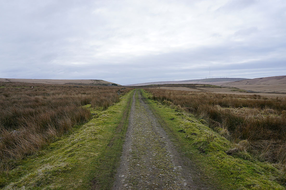
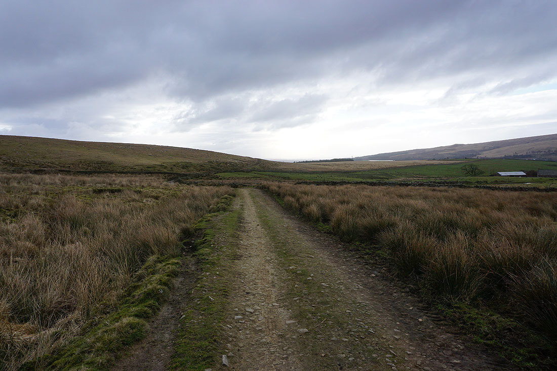
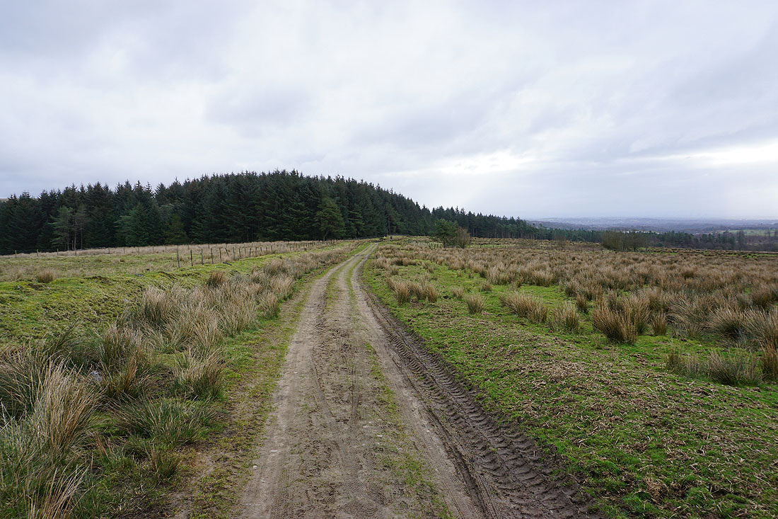
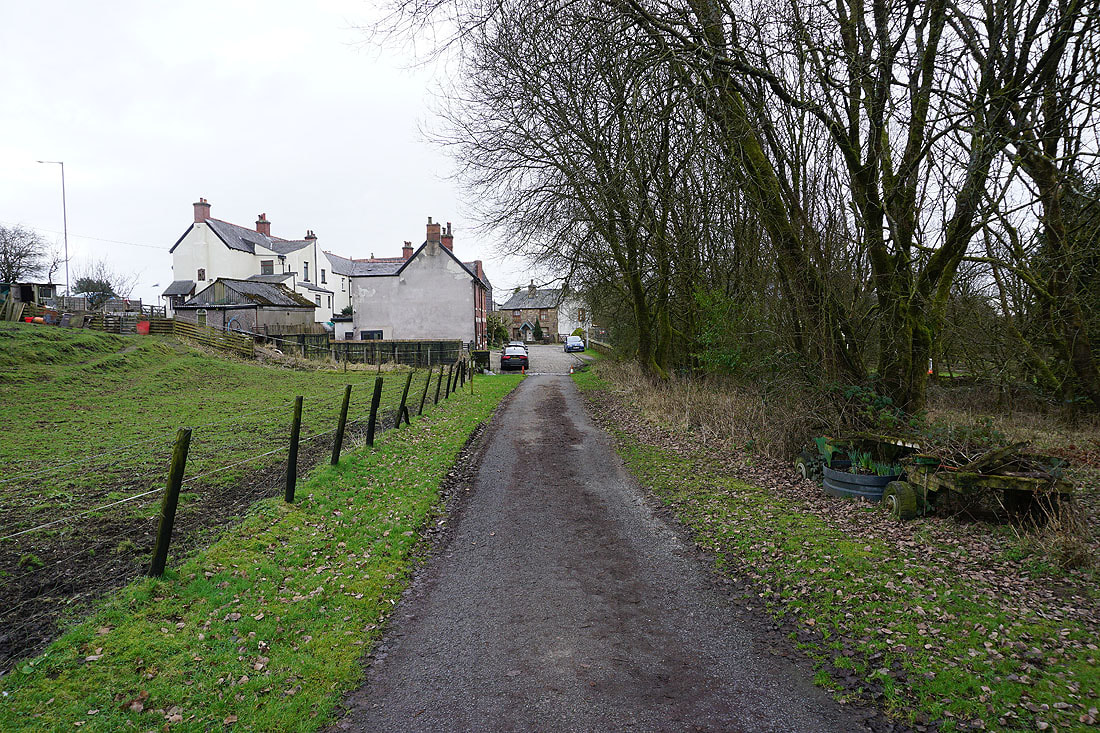
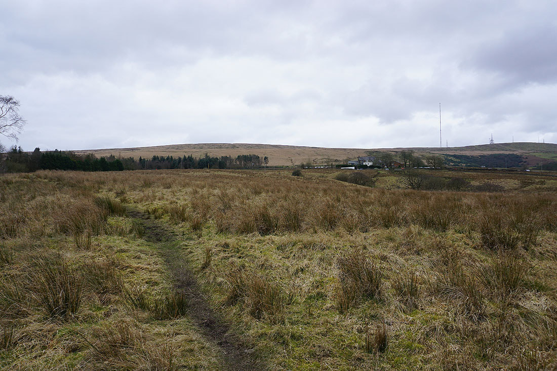
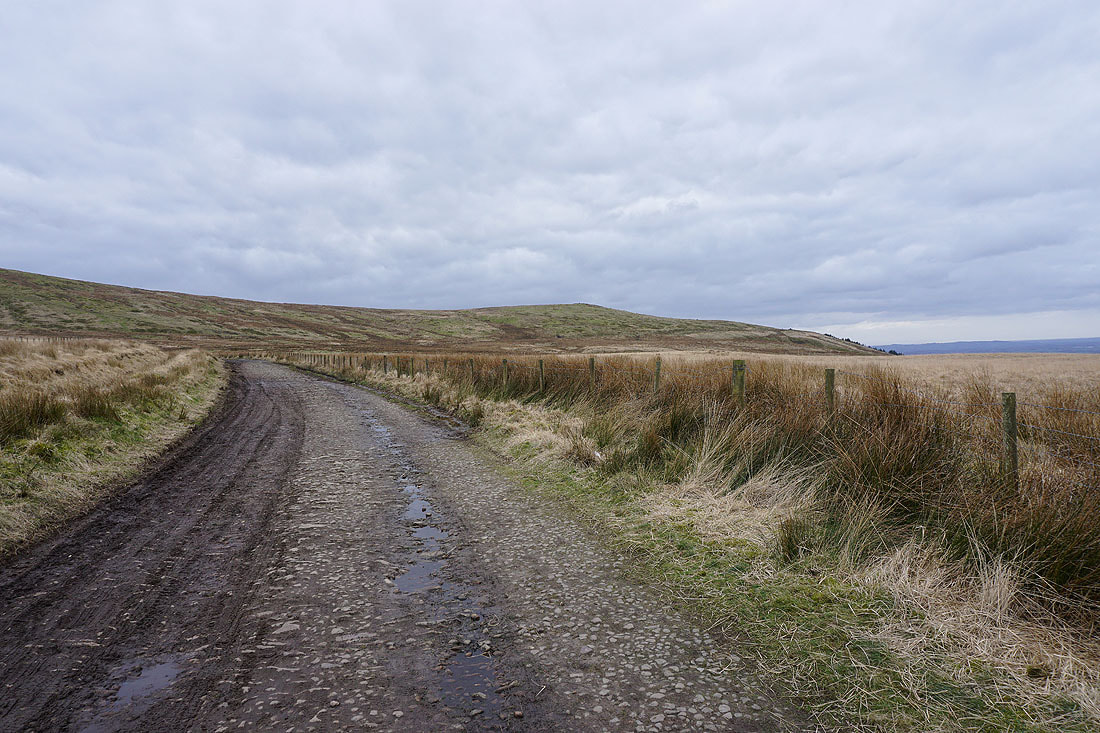
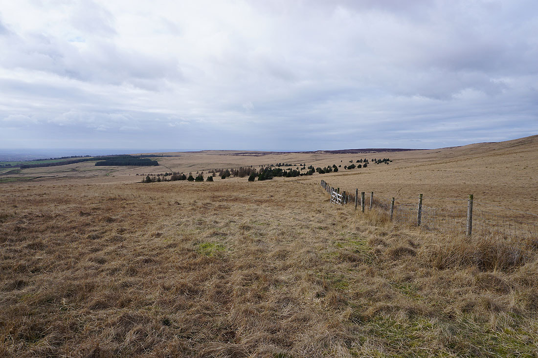
Setting off, I head south on the trail of the Witton Weavers Way
Darwen Moor rises to my left
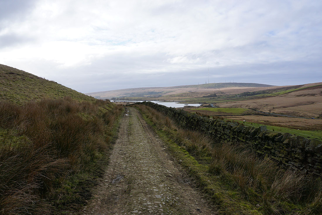
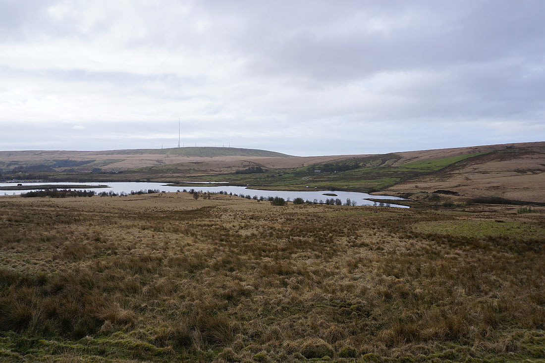
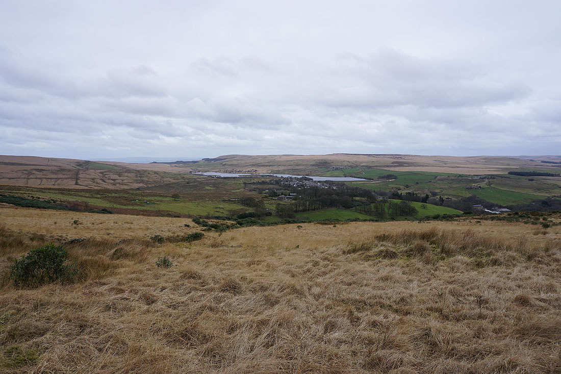
It isn't long before Belmont Reservoir and Winter Hill come into view..
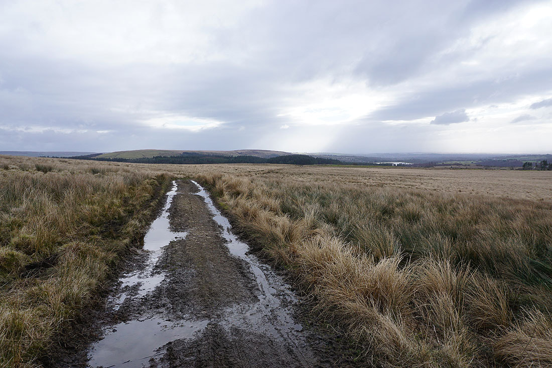
Continuing south along the track across the southern end of Longworth Moor, Turton Heights appears ahead..
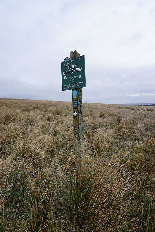
One of several Peak & Northern Footpaths Society signs that I'll pass today
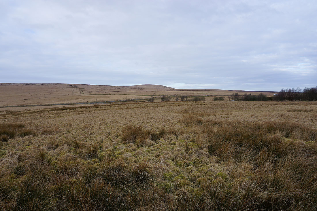
Looking across Stake Moss to Winter Hill
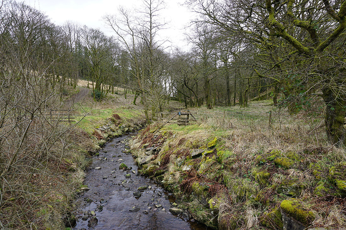
I continue to follow the Witton Weavers Way through Moss Side Plantation, across Stones Bank Brook, and to the hamlet of Dimple....
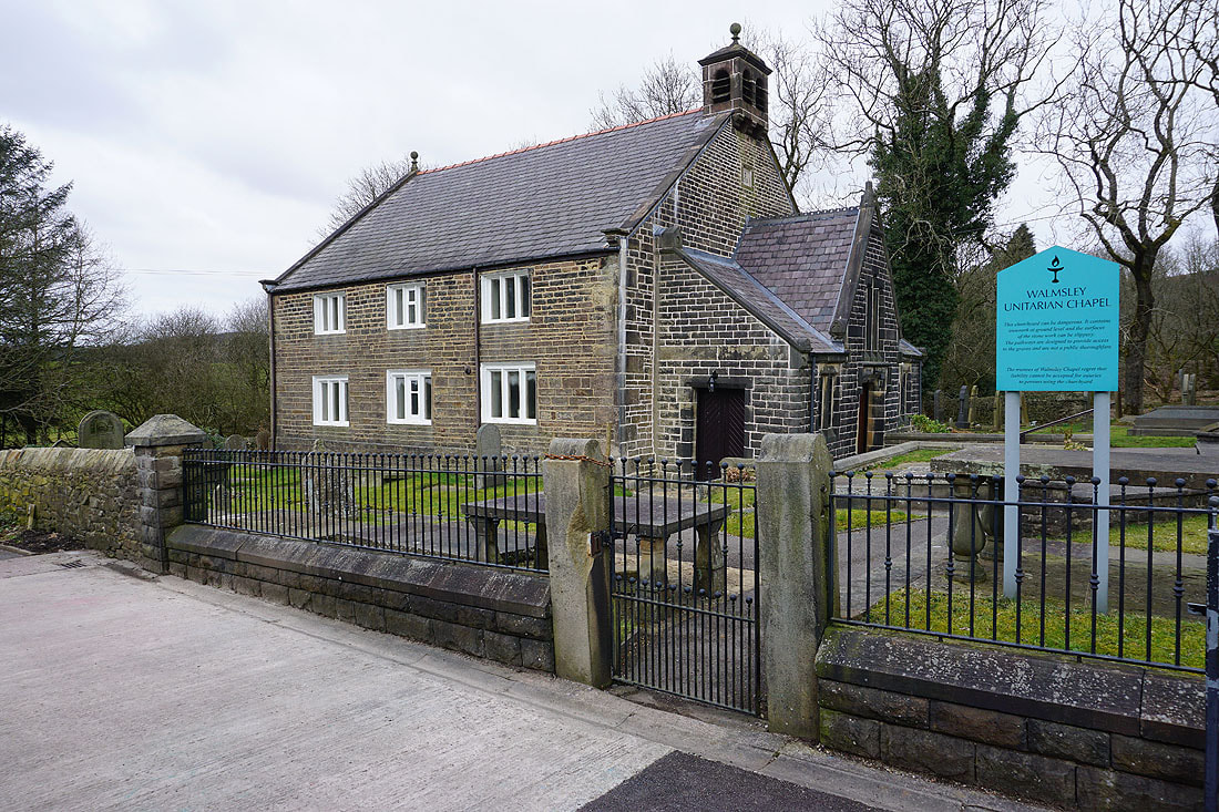
Passing Walmsley Unitarian Chapel
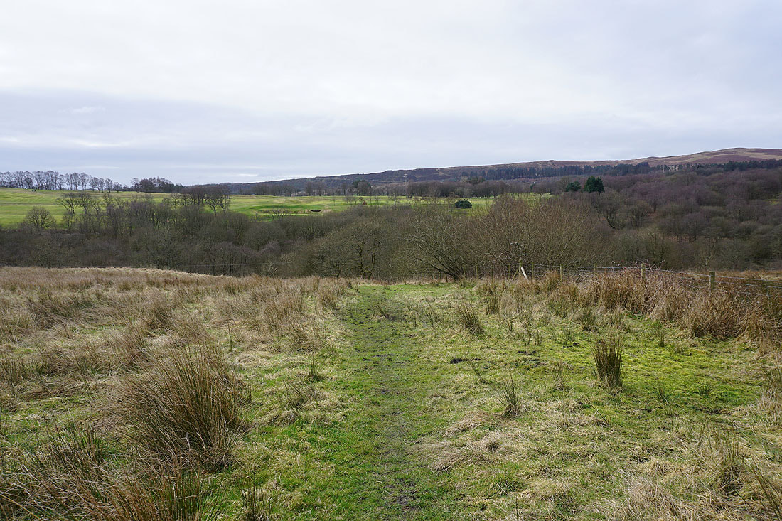
After crossing Longworth Road I take a footpath down into Longworth Clough
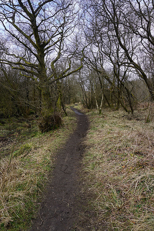
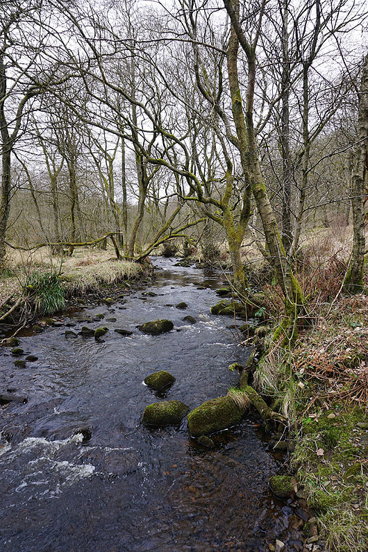
Making my way up Longworth Clough by Belmont Brook...
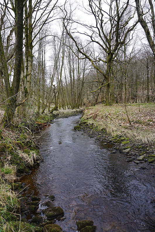
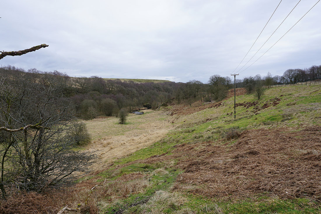
Looking down Longworth Clough
The outflow from Ornamental Reservoir marks the top of Longworth Clough
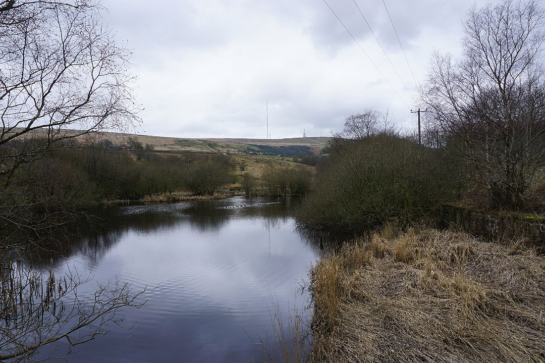
By Ornamental Reservoir
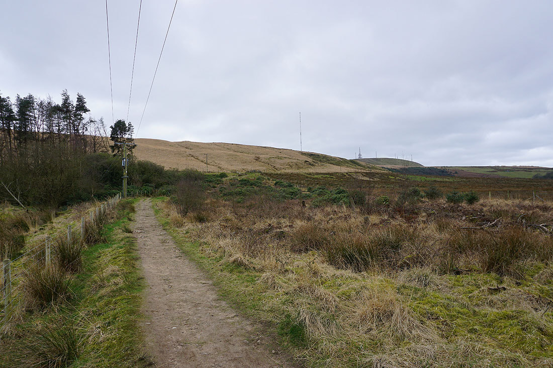
Winter Hill from the footpath up to Greenhill Farm and the A675
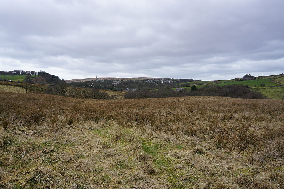
To my right, the village of Belmont
Having crossed the A675 I'm finally on my way up Winter Hill
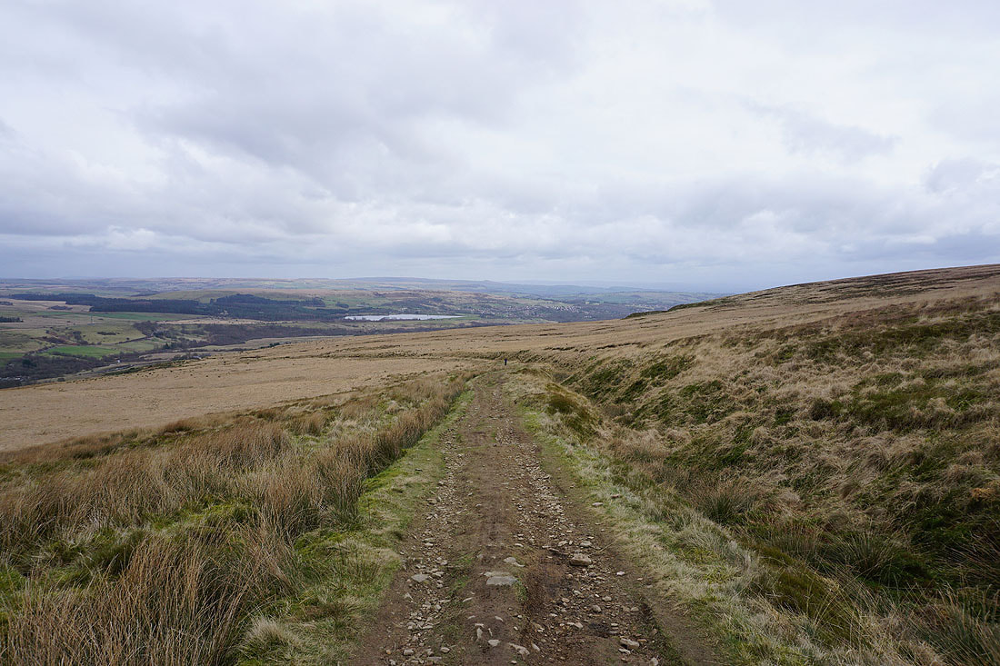
Looking across Belmont and Belmont Reservoir to Darwen Moor and Turton Moor
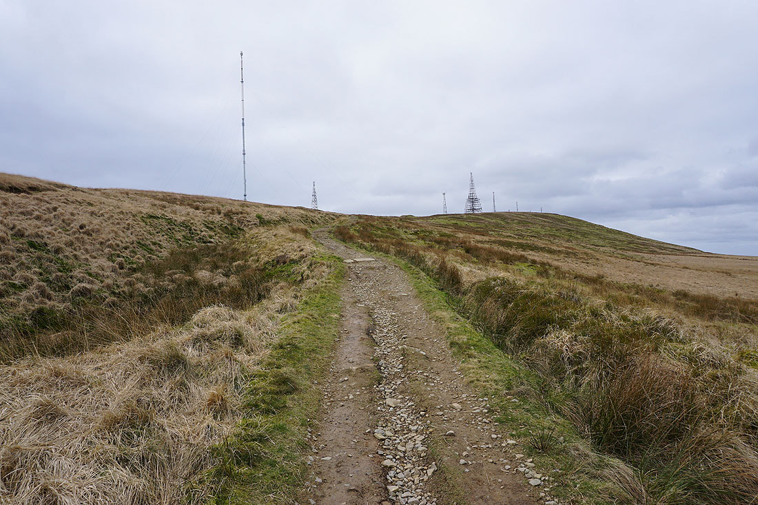
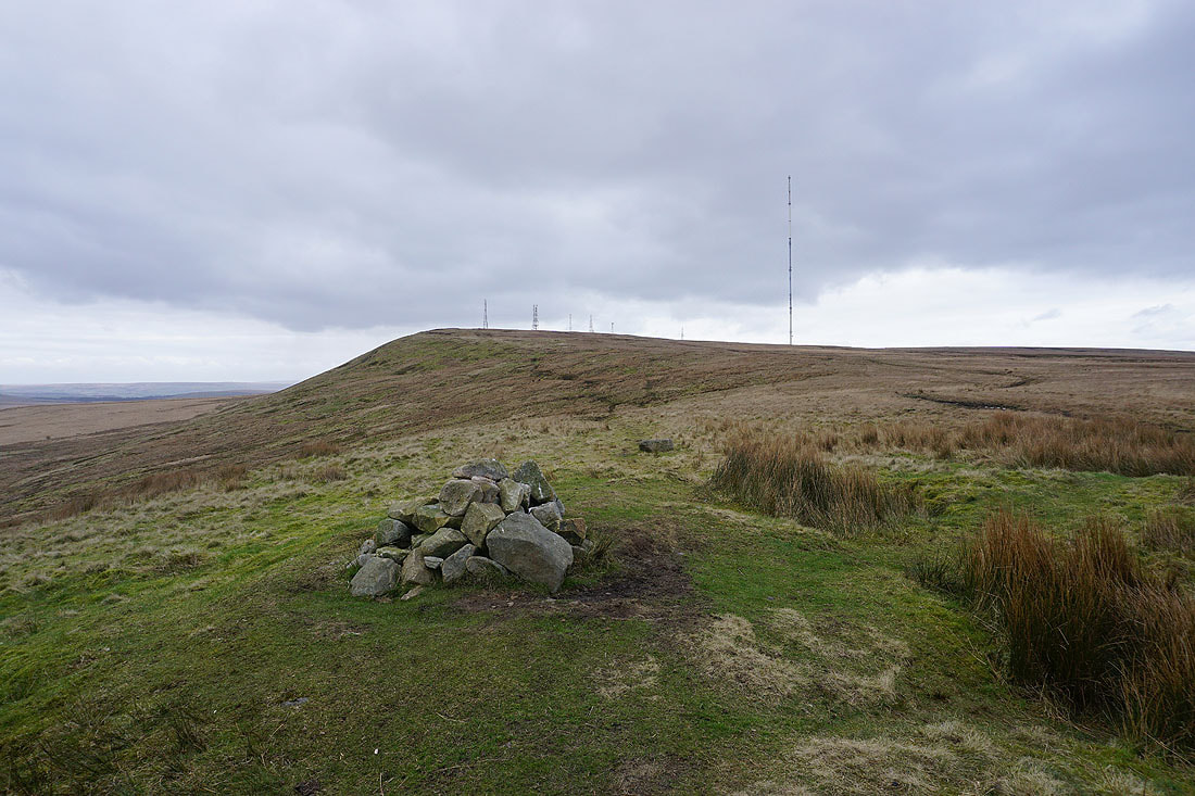
Nearing the top and a multitude of masts appears
Looking back to Turton Heights and Delph Reservoir, with Holcombe Moor and Scout Moor in the distance
Smithills Moor
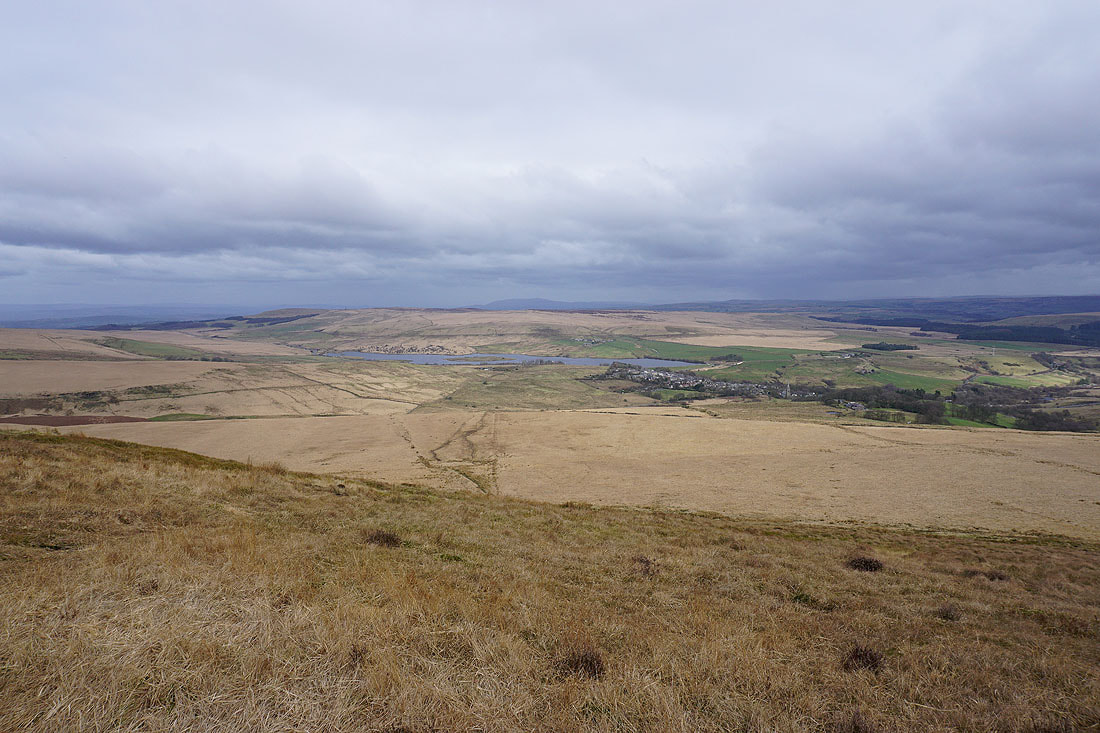
On the northern edge of Winter Hill. Looking northeast to Belmont Reservoir, Darwen Moor, and Belmont, with Pendle Hill in the distance.
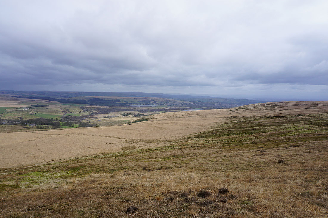
and east to Turton Heights, Delph Reservoir, and Egerton
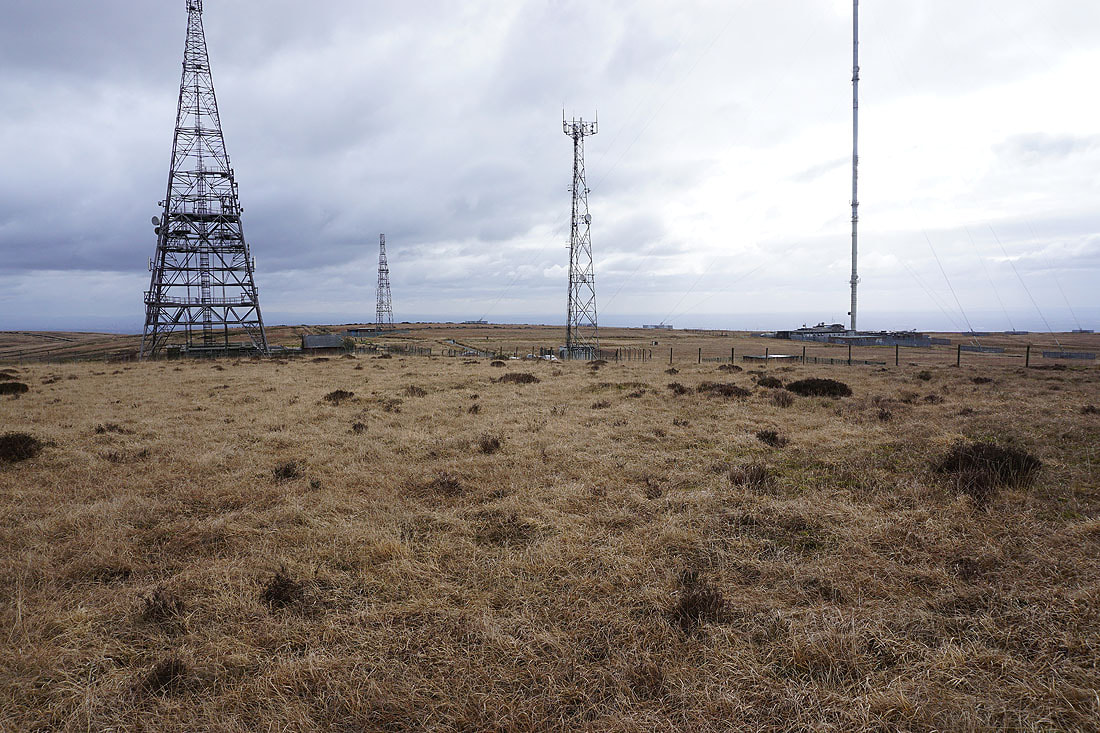
Some of the many masts on the top of Winter Hill
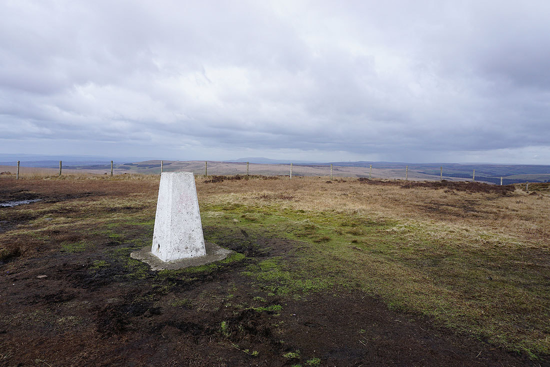
At the trig point on Winter Hill
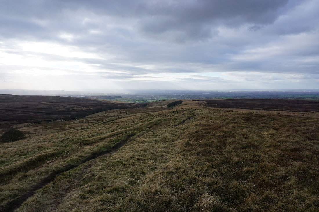
Looking north across Anglezarke Moor
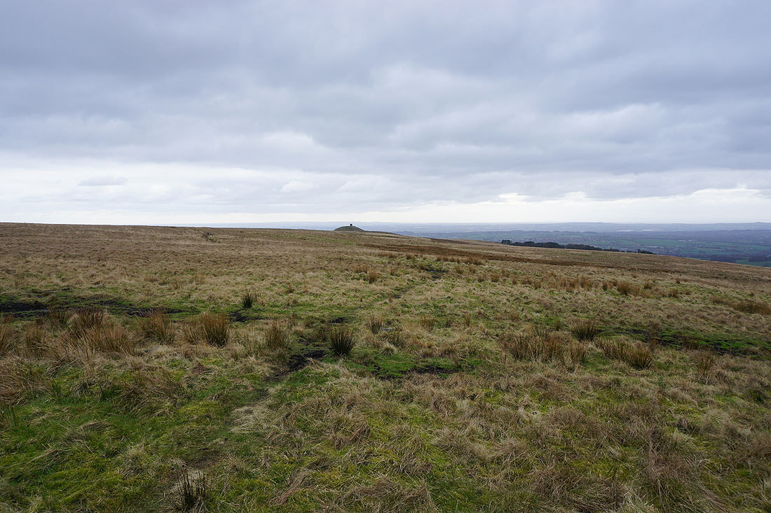
From the top of Winter Hill I head west across boggy moorland to Noon Hill
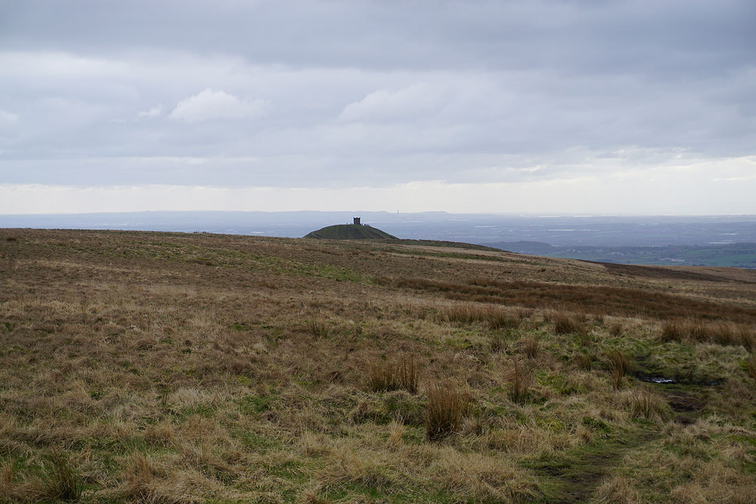
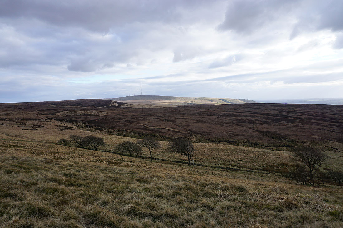
Winter Hill from Noon Hill
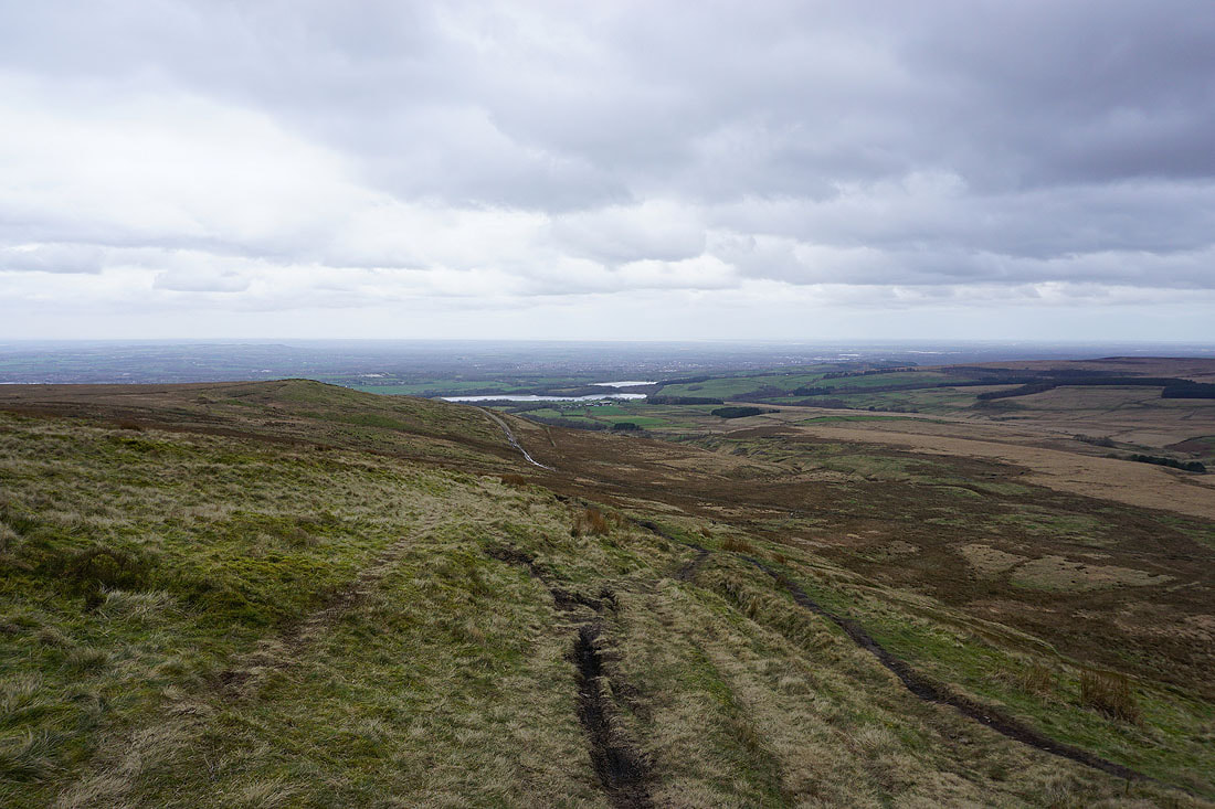
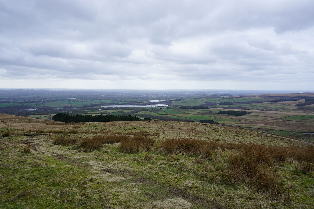
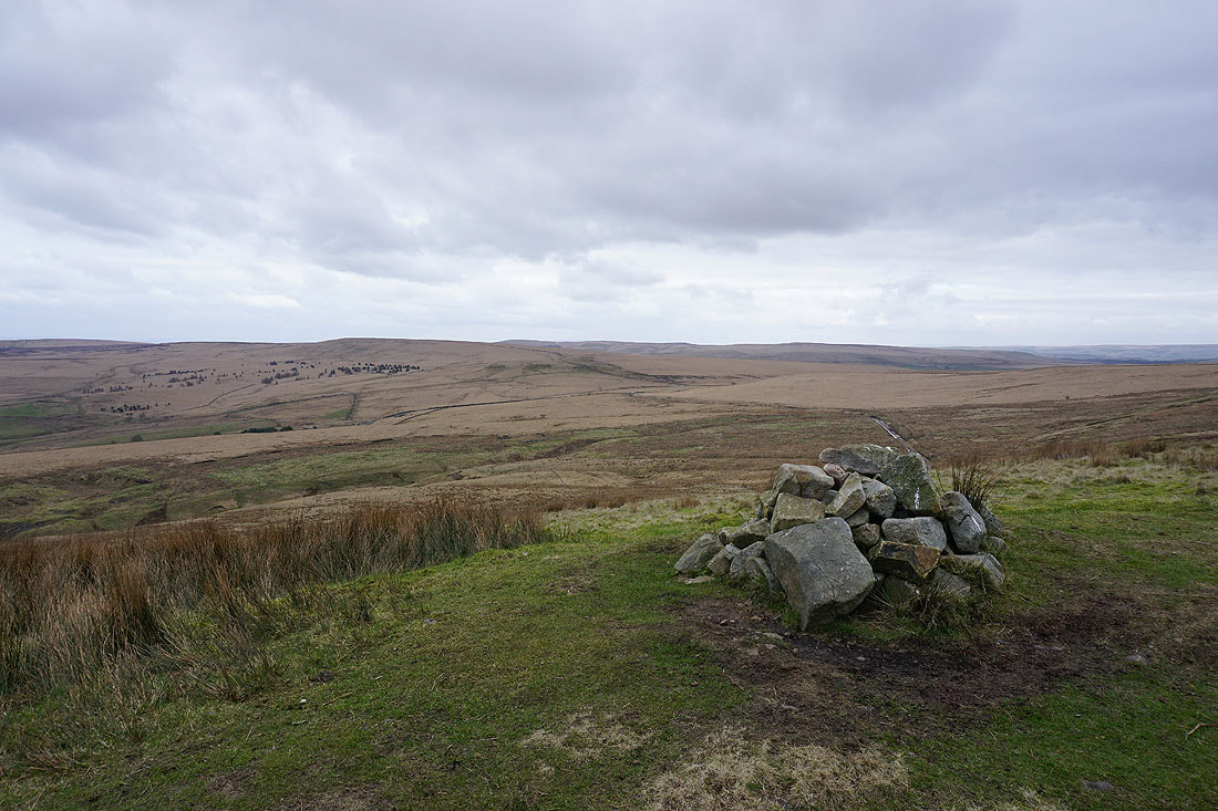
Upper Rivington Reservoir, Yarrow Reservoir, and Anglezarke Reservoir below. I can make out the estuary of the River Ribble in the distance.
Looking south across Rivington Moor to Rivington Pike
Zooming in, and it looks quite busy
Anglezarke Moor from Noon Hill. Time to head down and make my way there.
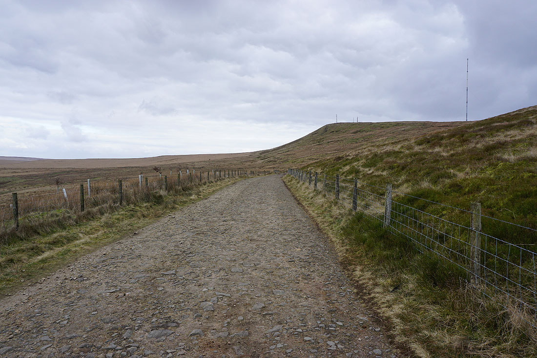
A short time later and I'm on the track of Belmont Road
Looking back to Noon Hill
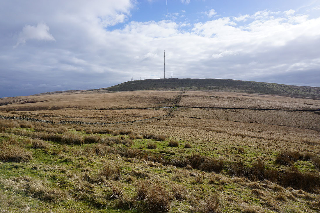
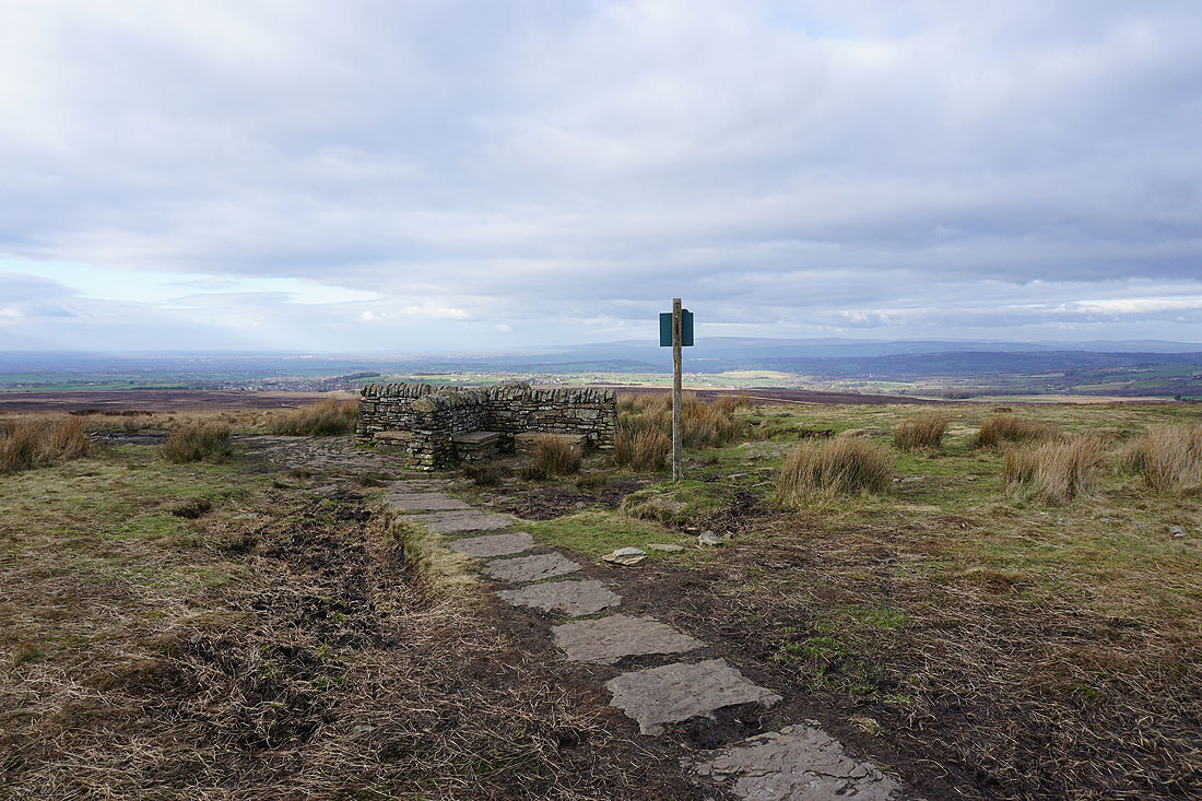
I've finally stopped for lunch on the hillside of Hordern Pasture. A break in the clouds passes over and I'm treated to a sunlit view of Winter Hill.
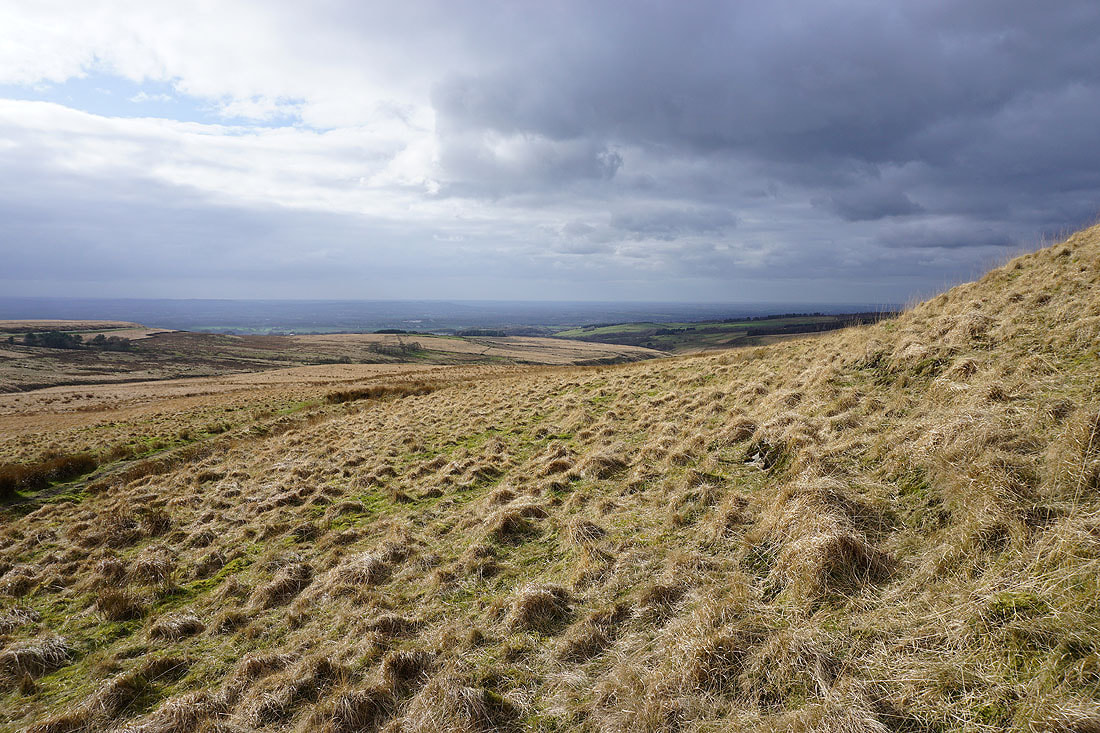
and across the southern slopes of Anglezarke Moor
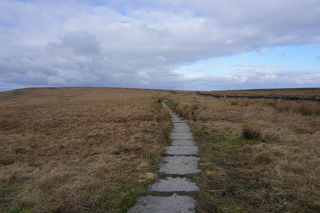
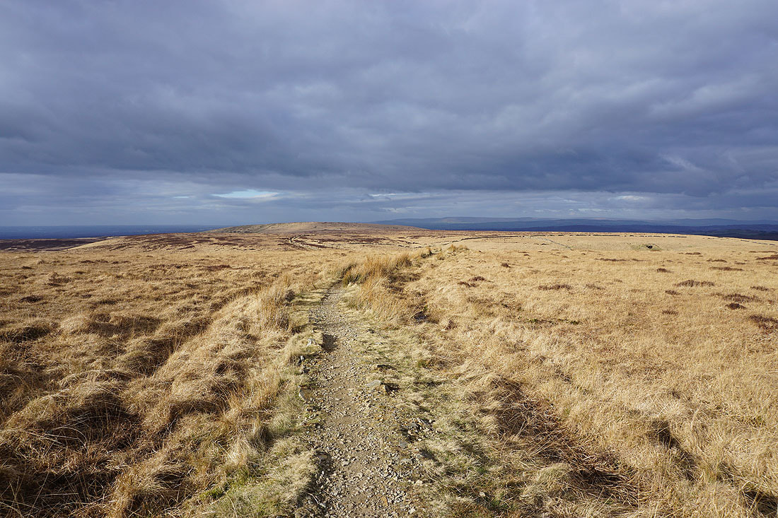
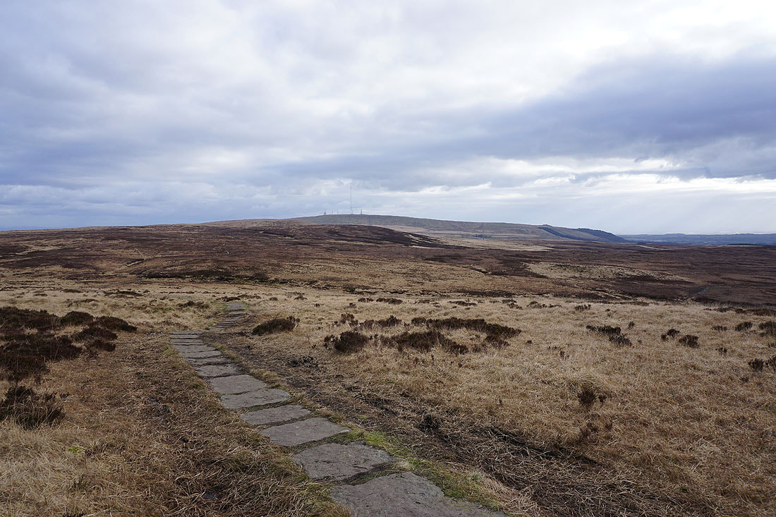
Lunch had, I make my way up the flagged path onto Spitlers Edge
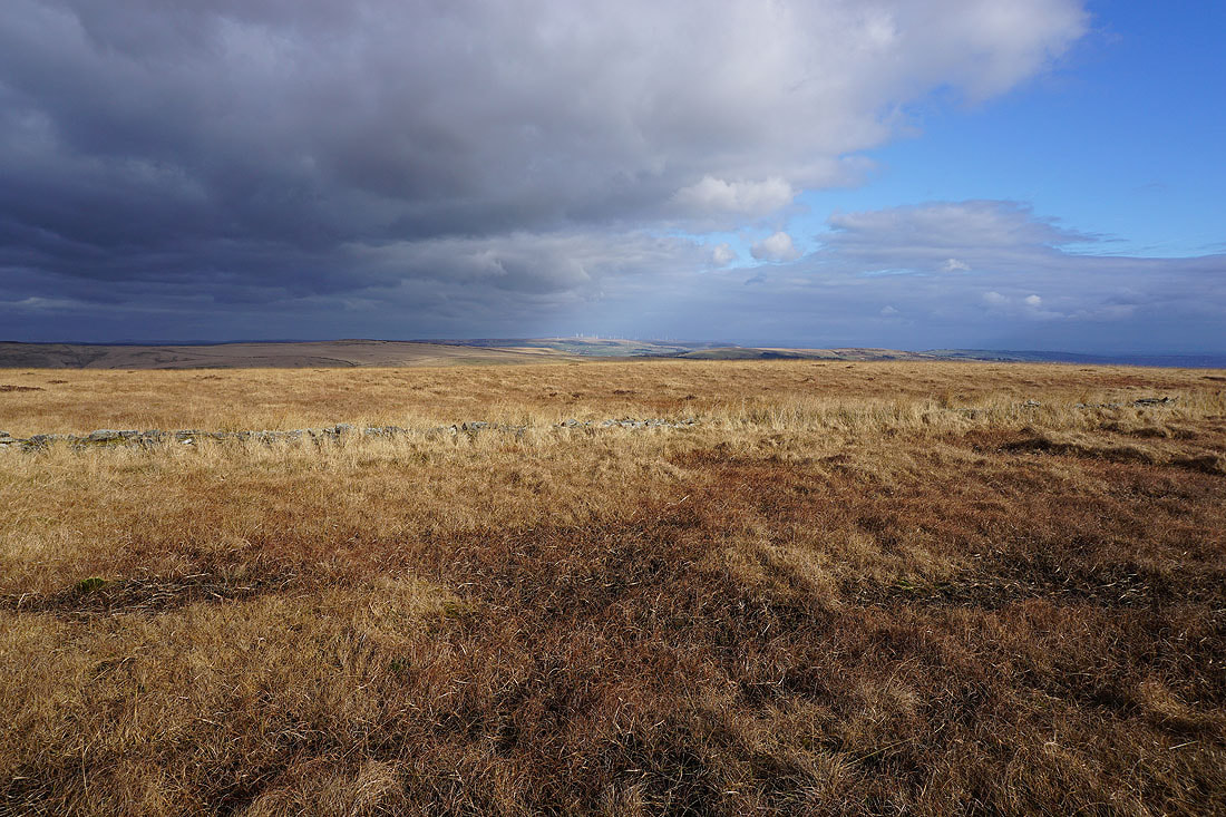
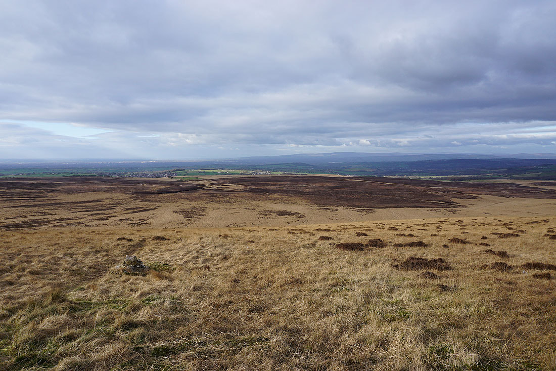
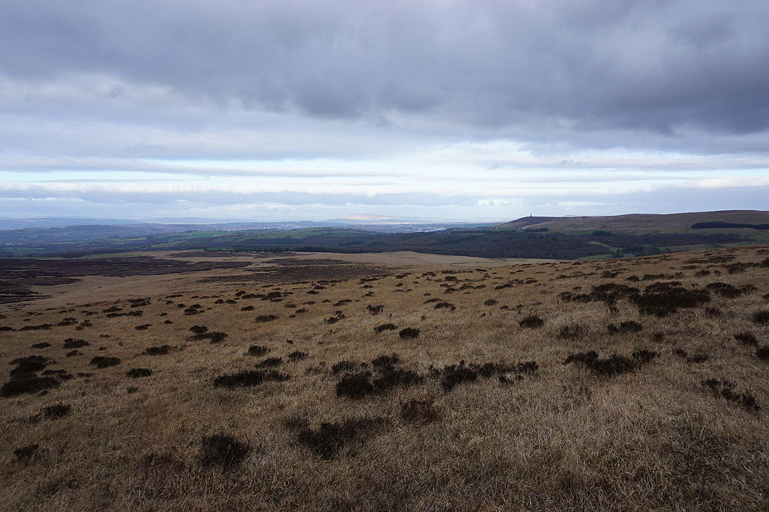
Looking across Anglezarke Moor to my left
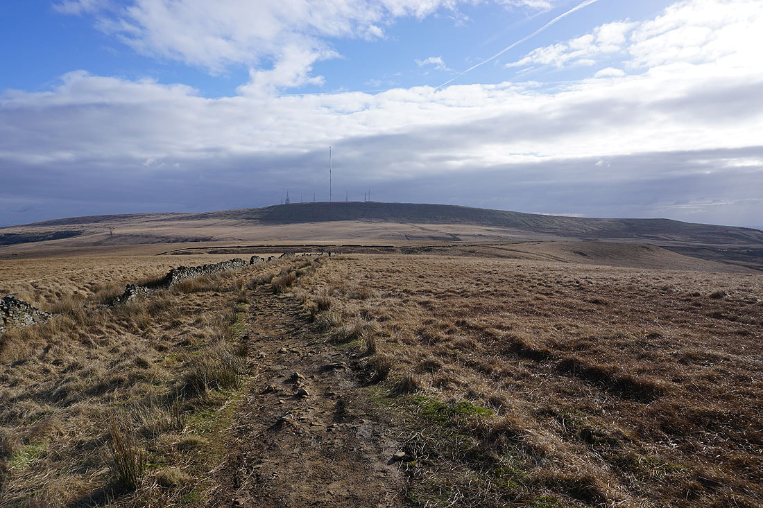
and back to Winter Hill
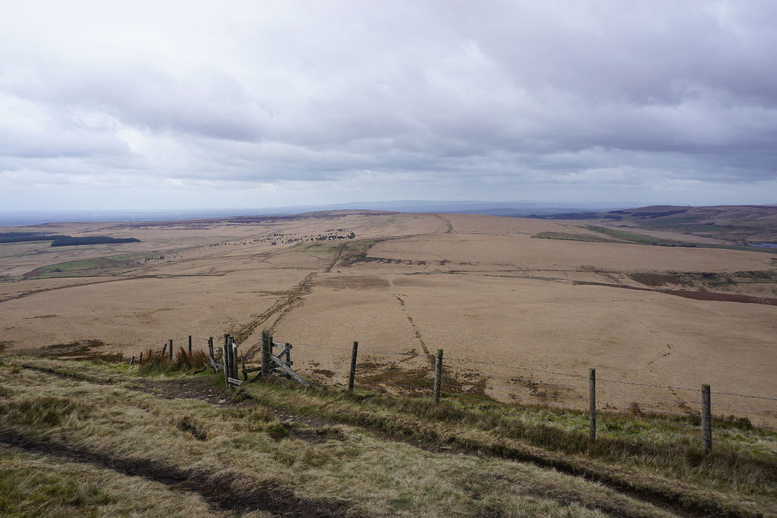
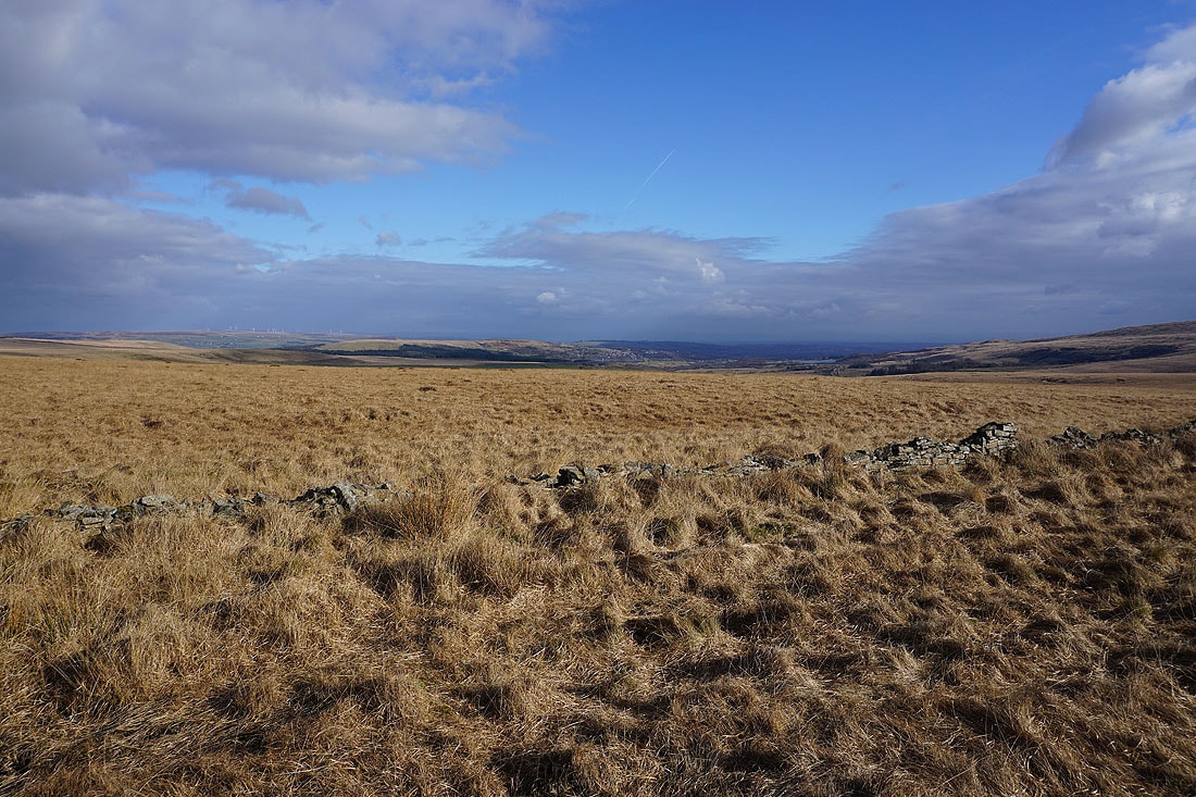
and across the sunlit moors to Longworth Moor and Turton Heights to the east..
Great Hill appears ahead to the north
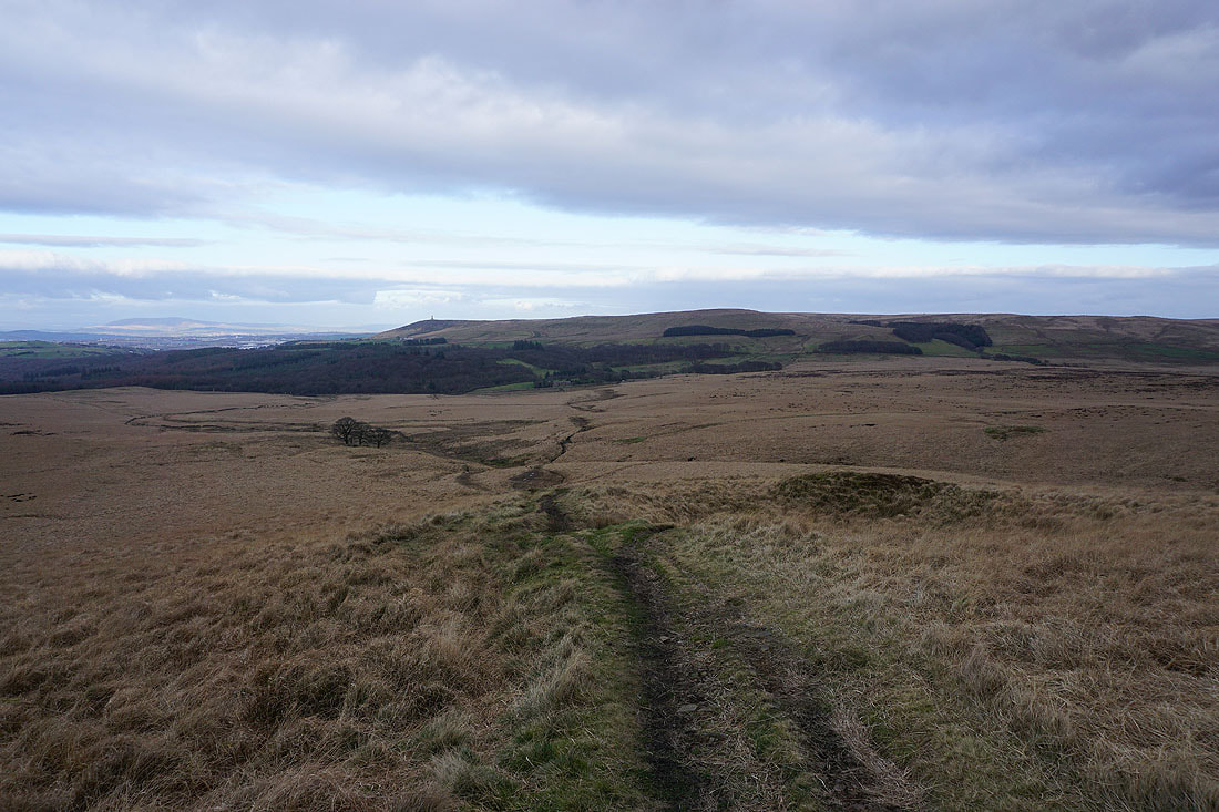
Looking back to Spitlers Edge, with Winter Hill in the distance, as I approach Great Hill
On the summit of Great Hill
The view from Great Hill isn't too bad. To the north, the Forest of Bowland in the distance, with Withnell Moor below.
Looking west to the countryside around Chorley
Winter Hill to the south beyond Anglezarke Moor
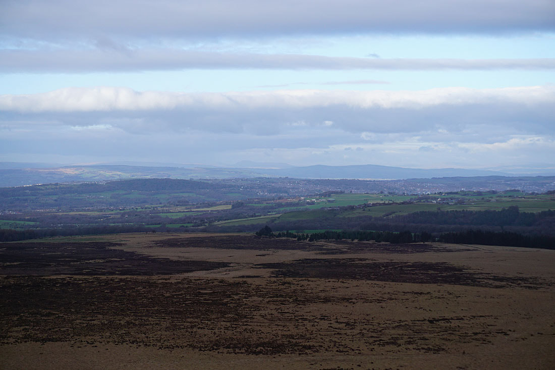
A sunlit Pendle Hill in the distance, with Darwen Moor on the right
Zooming in through the gap between the Forest of Bowland and Pendle Hill, and I can make out the distinctive outline of Ingleborough in the Yorkshire Dales
Leaving Great Hill behind I follow the footpath down to the A675
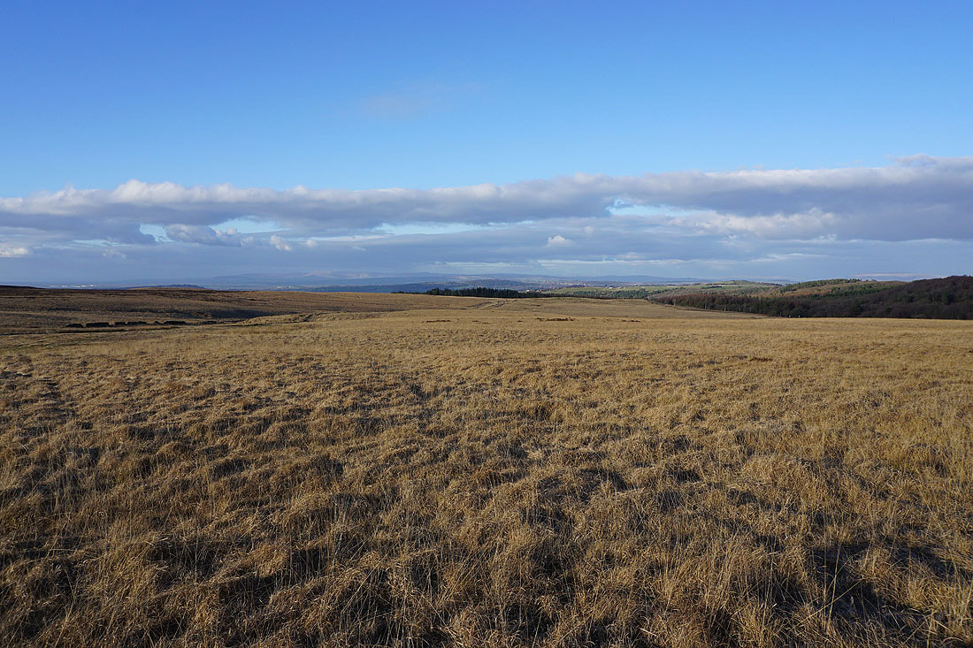
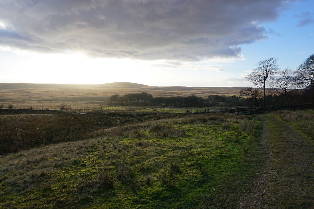
Late afternoon sunshine brightens up the moors..
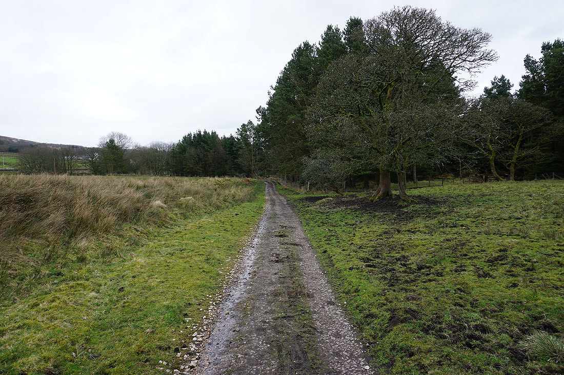
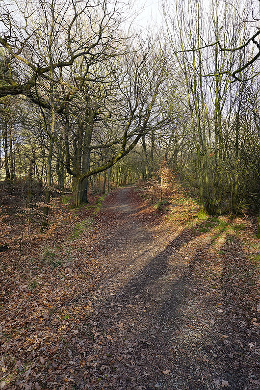
Having crossed the A675, I take a footpath through woodland..
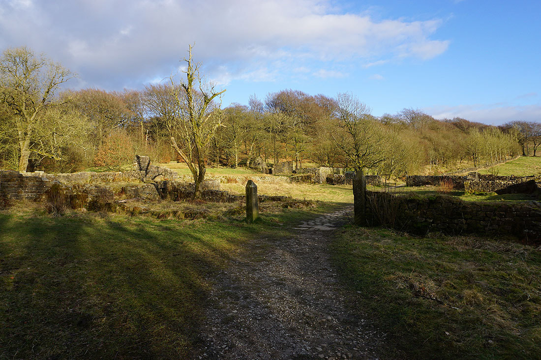
..and past the ruins of Hollinshead Hall
The sun starts to set behind Great Hill
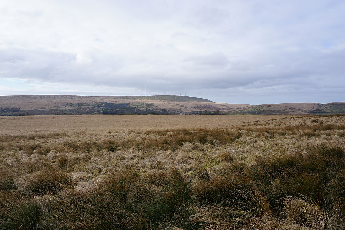
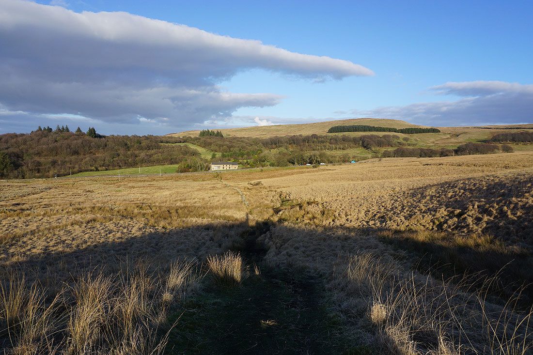
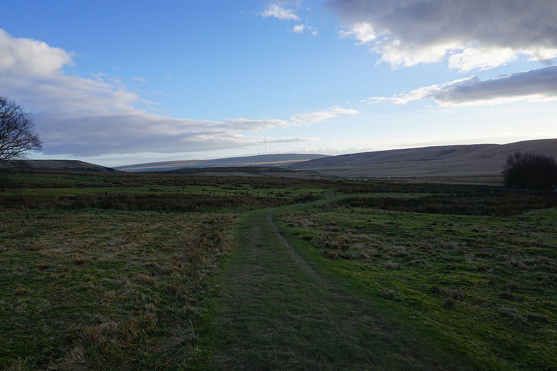
A final shot of Winter Hill and Spitlers Edge in the distance as I head back to the car park on Crookfield Road
