25th January 2014 - Across Holcombe Moor
Walk Details
Distance walked: 5.0 miles
Total ascent: 828 ft
OS map used: 287 - West Pennine Moors
Time taken: 1.5 hrs
Route description: Holcombe-Peel Tower-Harcles Hill-Bull Hill-bridleway to Holcombe-Holcombe
Another weekend of poor weather and the only opportunity for a walk was a few hours of dry weather around Saturday lunchtime before the rain arrived. It takes me just ten minutes to drive to Holcombe.
From the car park in Holcombe I made my way up to Peel Tower. I then crossed Holcombe Moor to the summit of Bull Hill. To get back to Holcombe I followed the bridleway along the eastern side of Holcombe Moor.
Route map
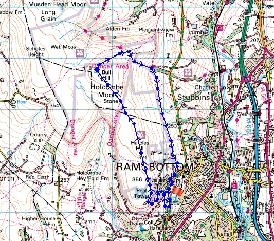
© Crown copyright. All rights reserved. License number PU 100034184.
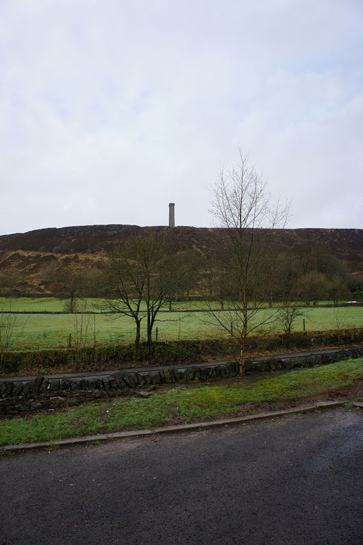
Peel Tower in view from the car park
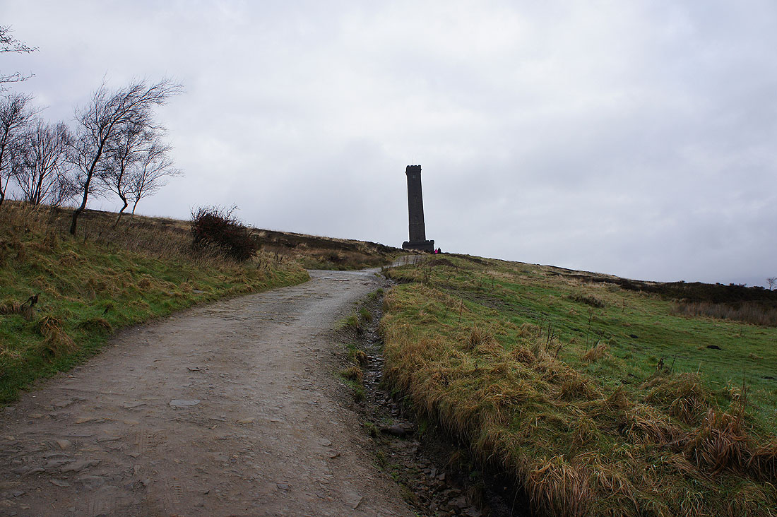
Approaching the tower
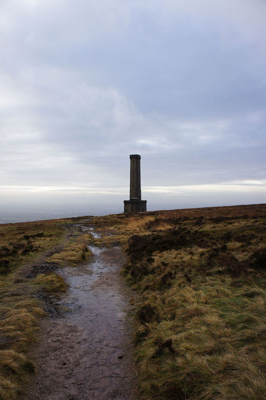
and again looking back as I head for Holcombe Moor
Bull Hill from Harcles Hill
Rossendale below
Cowpe Lowe and a cloud covered Scout Moor
On Holcombe Moor
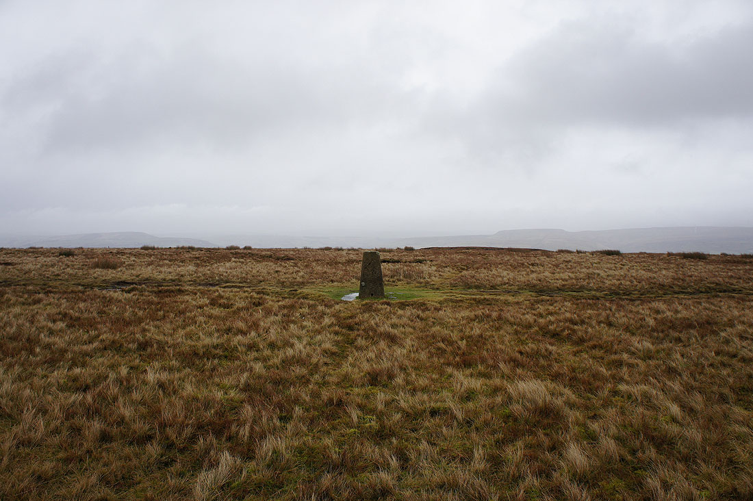
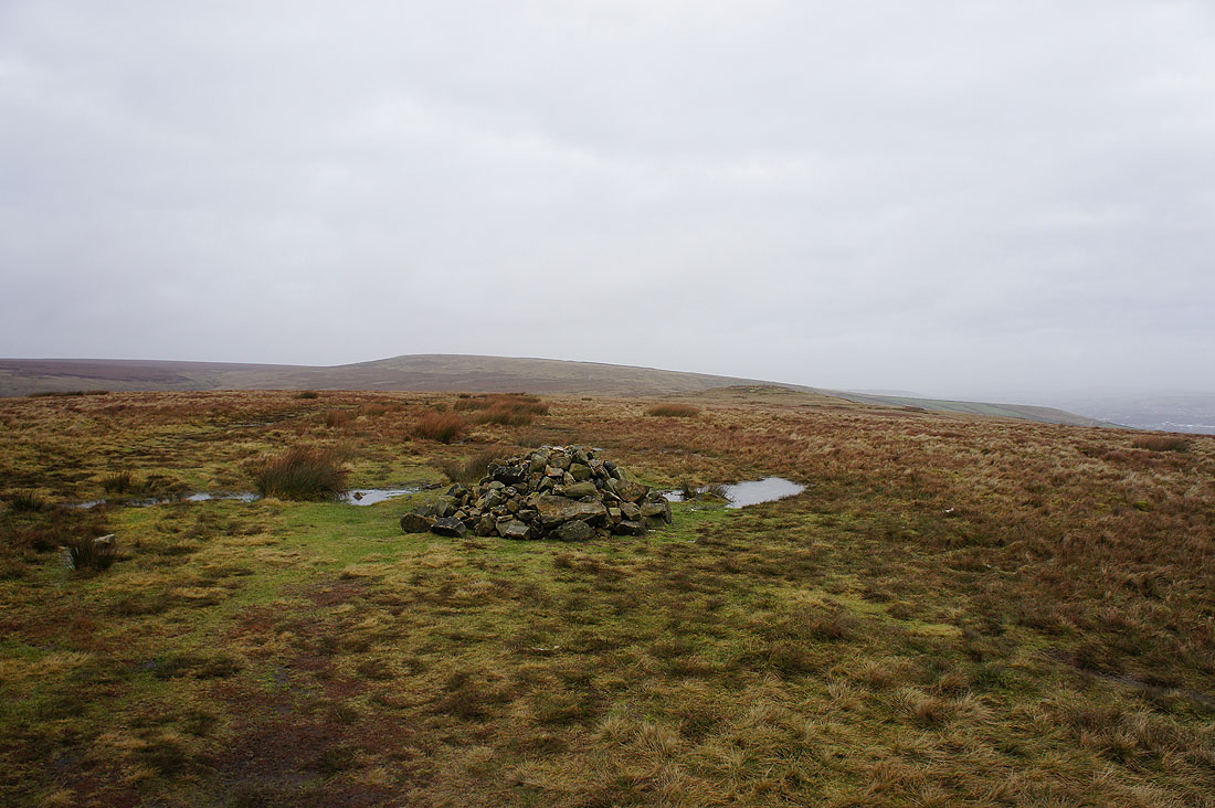
The trig point on the summit of Bull Hill
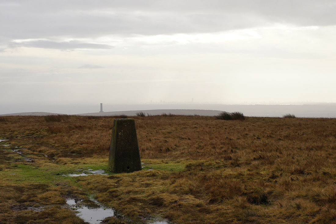
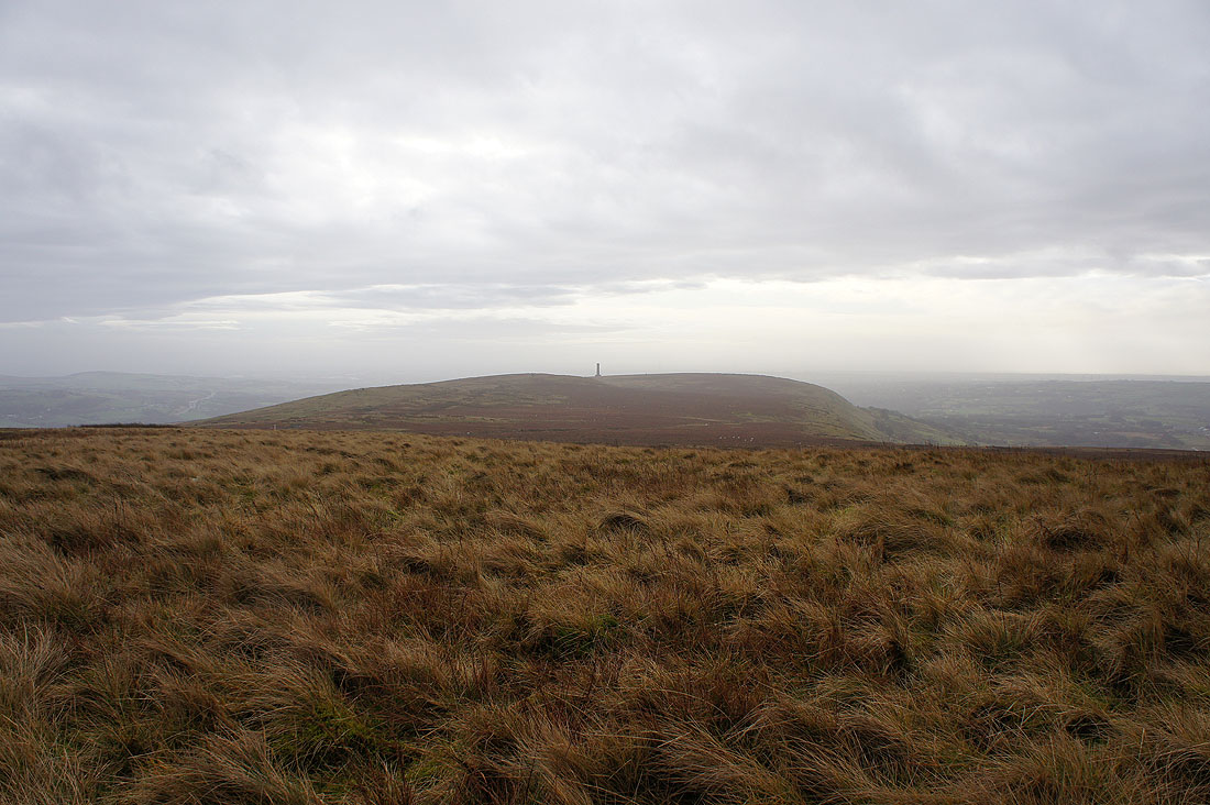
Peel Tower and Holcombe Moor. I can make out Manchester in the distance.
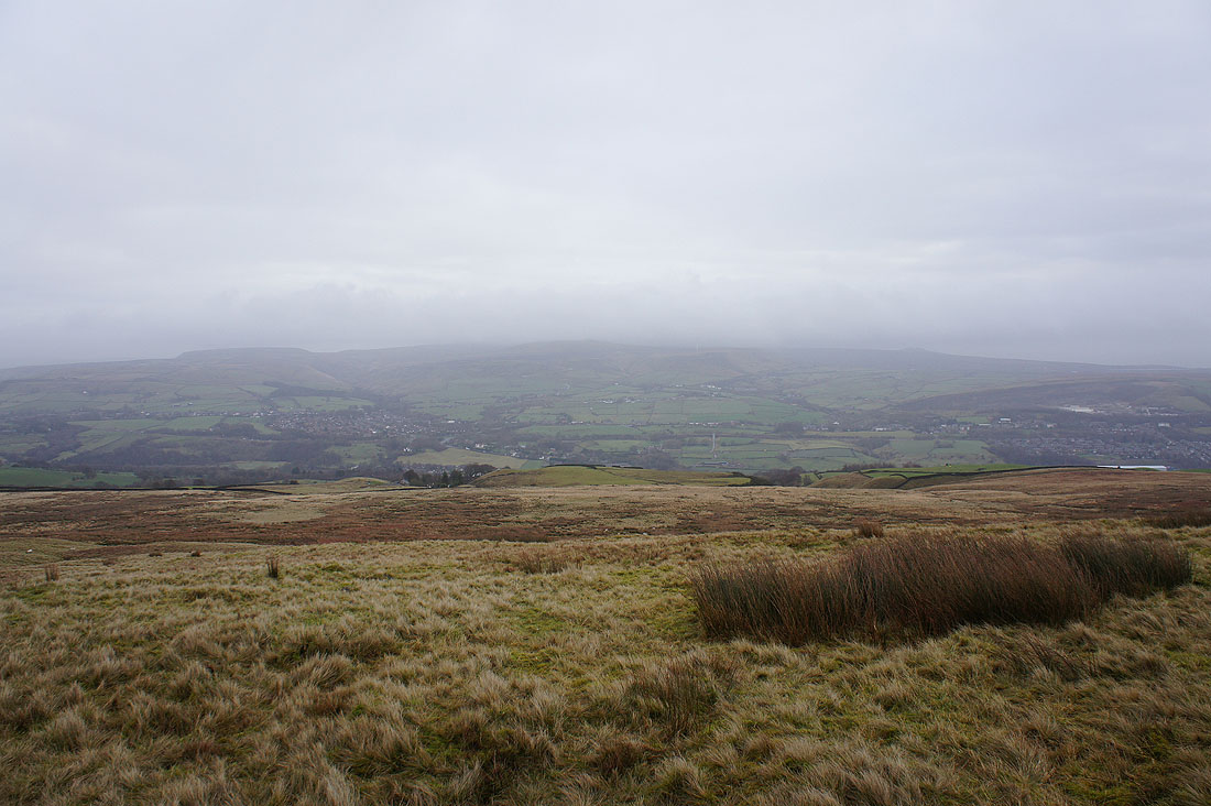
Murky West Pennine Moors
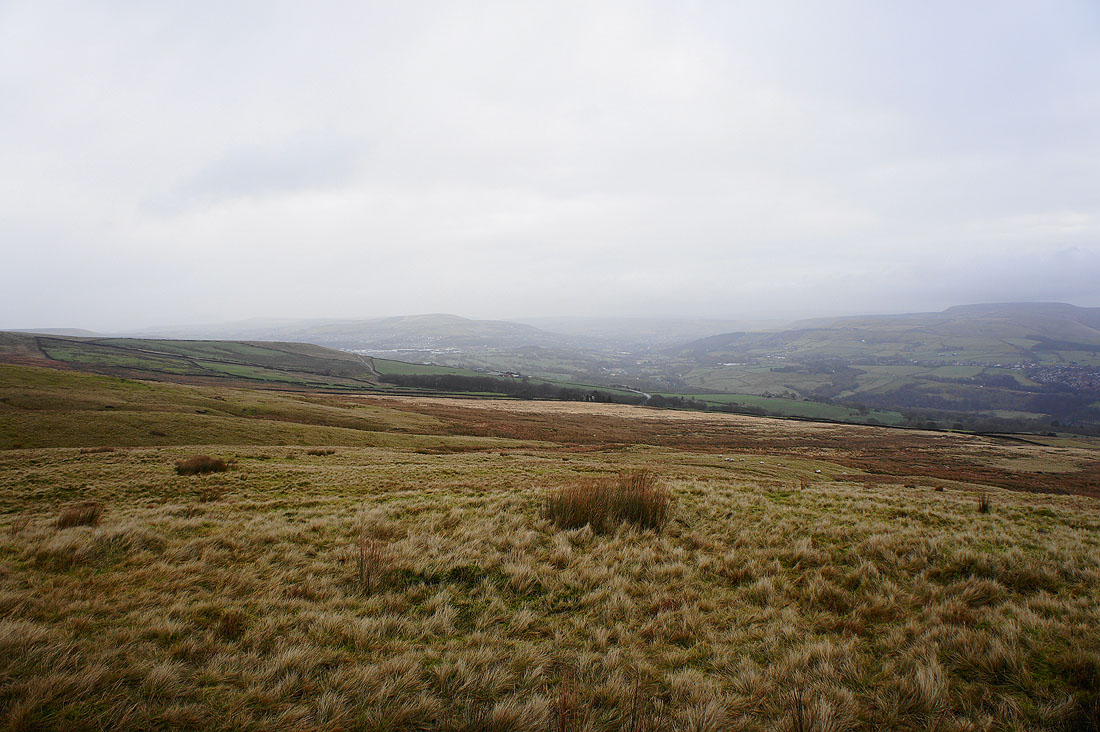
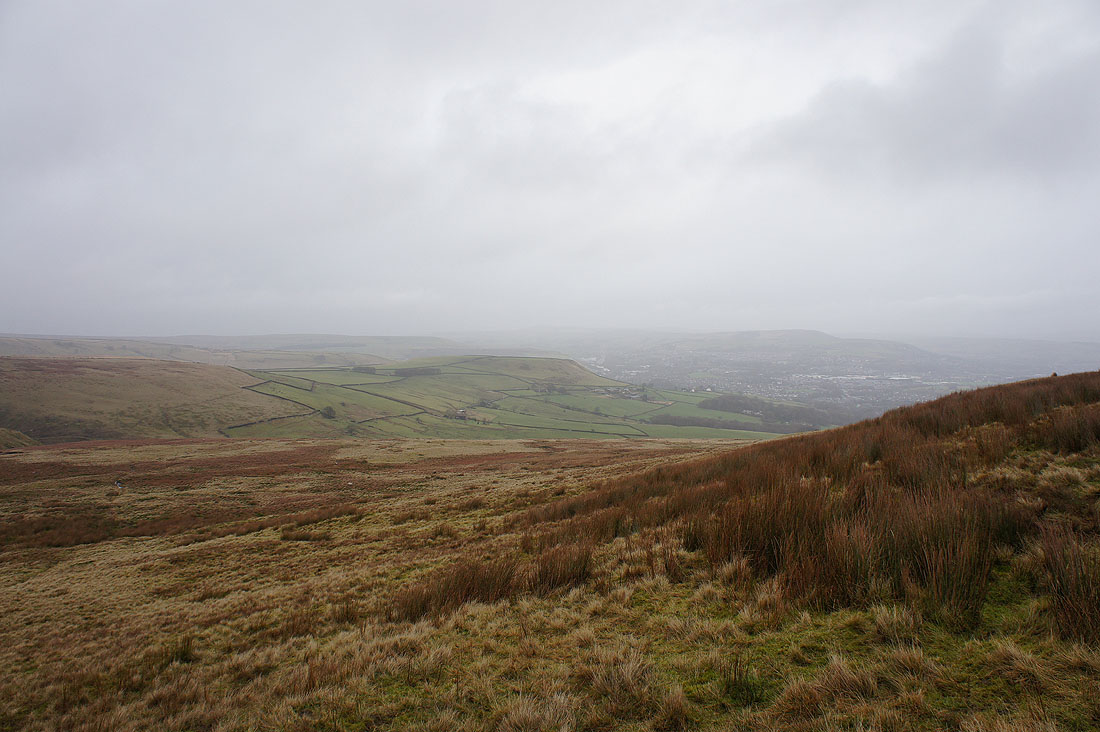
Haslingden and Rossendale as I head down from Bull Hill
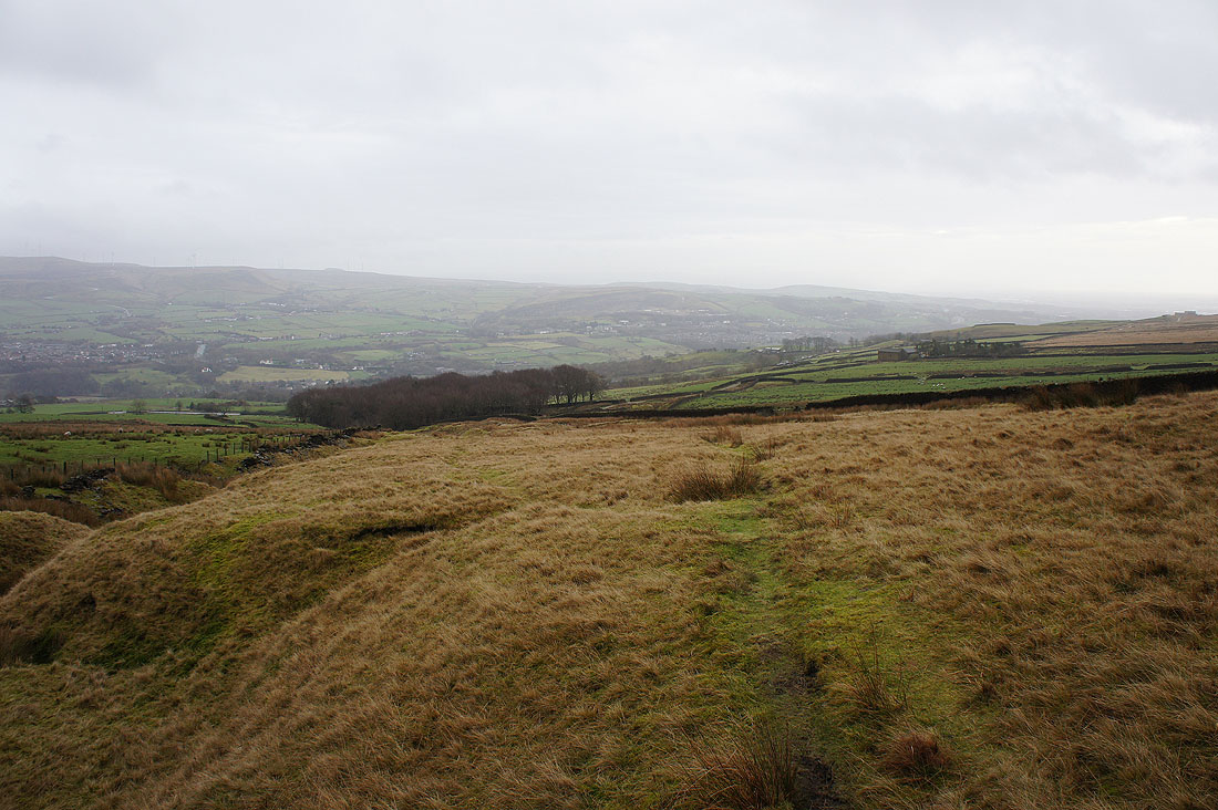
The bridleway runs past the top of Buckden Wood just below
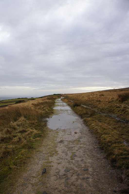
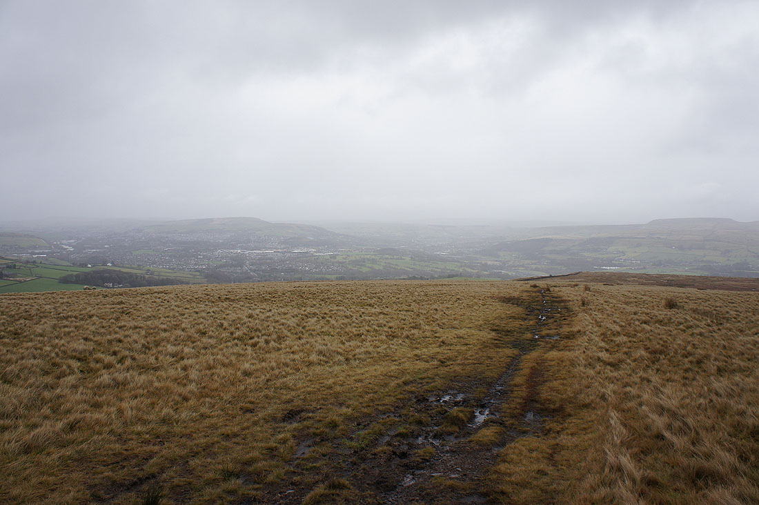
On the bridleway back to Holcombe