25th January 2020 - Ashfold Side and Wath
Walk Details
Distance walked: 8.9 miles
Total ascent: 1786 ft
OS map used: 298 - Nidderdale
Time taken: 5 hrs
Route description: Pateley Bridge-Bridgehouse Gate-Nidderdale Way-Ladies Riggs-Hillend-Brandstone Dub Bridge-Nidderdale Way-Ashfold Side-Nidderdale Way-Spring House-Heathfield-Grange Lane-Spring Hill-Wath Bridge-Wath-Wath Lane-Scot Gate Ash-The Knott-Nidderdale Way-St. Mary's church (ruins)-Nidderdale Way-Pateley Bridge
With the way the weather is at the moment if it isn't chucking it down and blowing a gale then the day has potential for getting out for a walk. I decided to head across to Pateley Bridge in Nidderdale today with two routes in mind. Which one I'd do would depend on how the conditions were looking as I followed the Nidderdale Way to Ashfold Side from Pateley Bridge. The cloud was covering the tops of the moors as I drove from Wharfedale across to Nidderdale so I needed a low level alternative. By the time I reached Ashfold Side it was grey, murky, and windy with drizzle in the air. It didn't take me long to decide to go for the low level route. Which was to stay on the Nidderdale Way, head down to Wath and up the other side of the dale, then go south through the disused quarries above Pateley Bridge before descending to The Knott, with the Nidderdale Way taking me back to Pateley Bridge. My other route involved crossing the moors on the western side of Nidderdale, definitely one for a better day. I actually set off from Pateley Bridge with an odd glimpse of the sun, but this proved to be a false dawn as I had grey skies and drizzle from time to time for the rest of the morning. Things improved a little during the afternoon with the drizzle easing off, the cloud lifting, and it tried to brighten up.
From the car park on the south side of Pateley Bridge I walked south by the B6265 to Bridgehouse Gate and turned right onto Low Wath Road. I then walked north by this road until I reached a lane on the left, which I took after crossing Low Wath Road, then walked up this lane to a footpath sign on the right. I followed this footpath up a track, and then up through fields past Eagle Hall, to reach the Nidderdale Way. The Nidderdale Way then took me west along a track over Ladies Riggs, down to and past Hillend, over Brandstone Dub Bridge, around the hill of Nabs, and down to the disused mines of Ashfold Side. I found a bit of shelter here for my lunch stop. I then continued east on the Nidderdale Way above Ashfold Side Beck to the Westfield Caravan Site, where the trial takes a left turn and heads uphill past Spring House and across the hillside to the hamlet of Heathfield. The Nidderdale Way was left behind here as I turned right and walked down Grange Lane to Spring Hill, where I took a footpath down the hillside to the road up Nidderdale, which I crossed for the road over Wath Bridge into Wath. After walking through Wath I walked up Wath Lane until I reached a footpath on the right that took me through the disused quarries on the hillside above Pateley Bridge, then along a track to Old Church Lane. I then walked a short distance up this lane, turned right onto the lane to Blazefield, then took the bridleway on the right down to The Knott, where I turned right and followed the Nidderdale Way back down to Pateley Bridge (with a detour to the ruins of St. Mary's church).
Route map
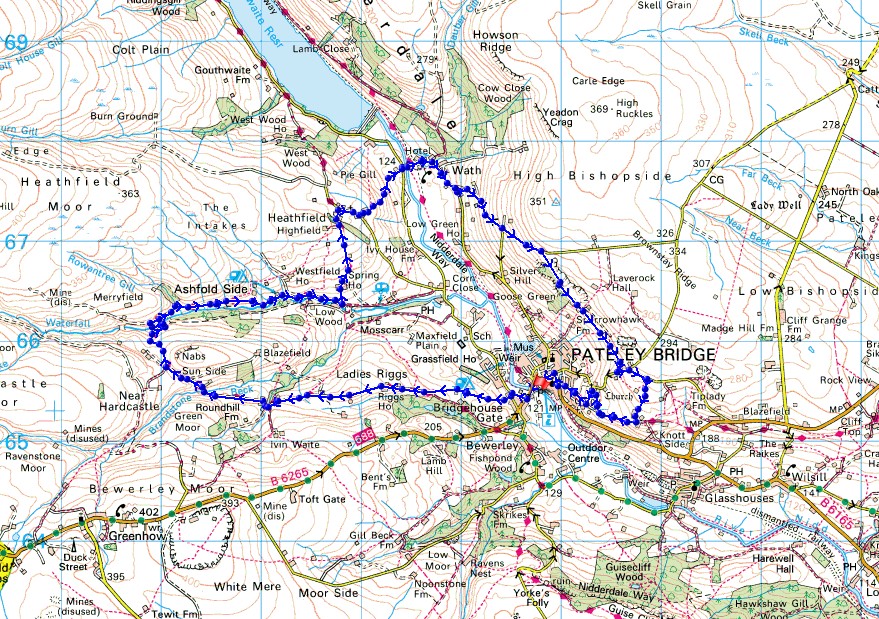
© Crown copyright. All rights reserved. License number PU 100034184.
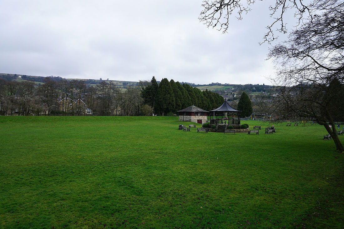
The park in Pateley Bridge
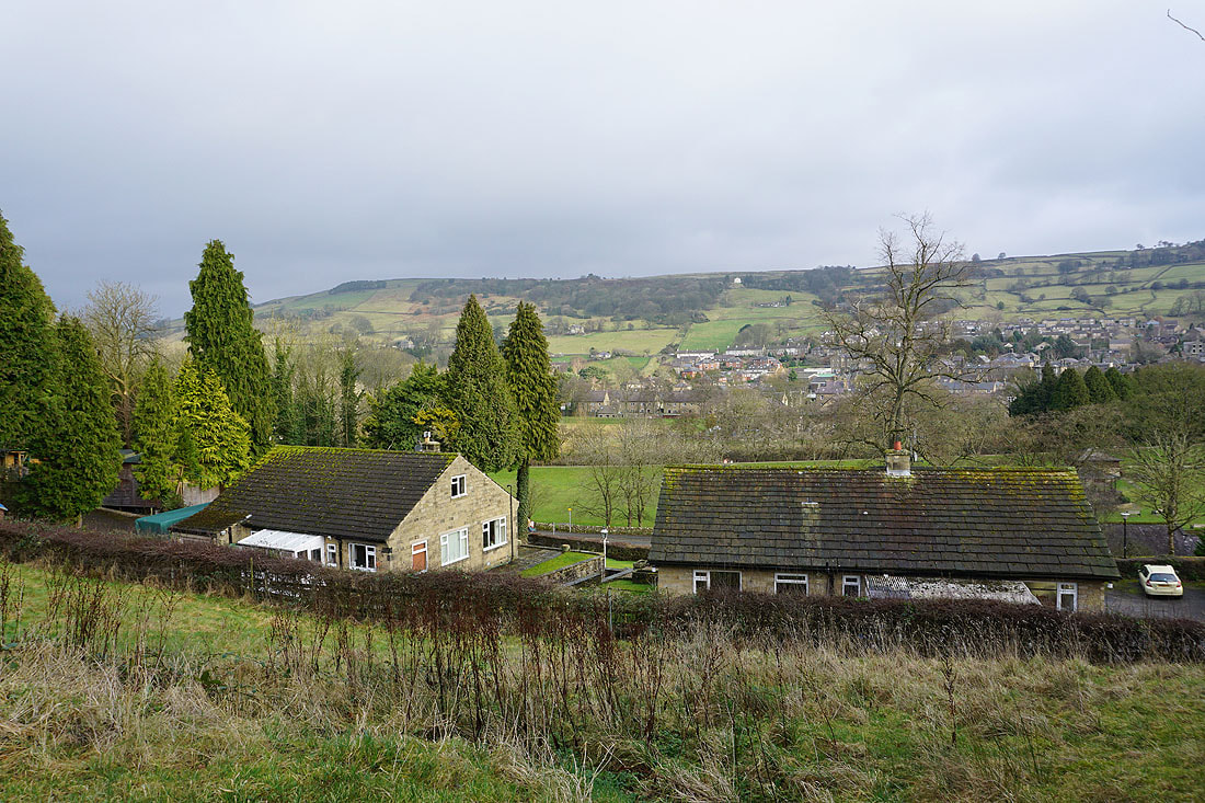
A burst of sunshine passes across Nidderdale
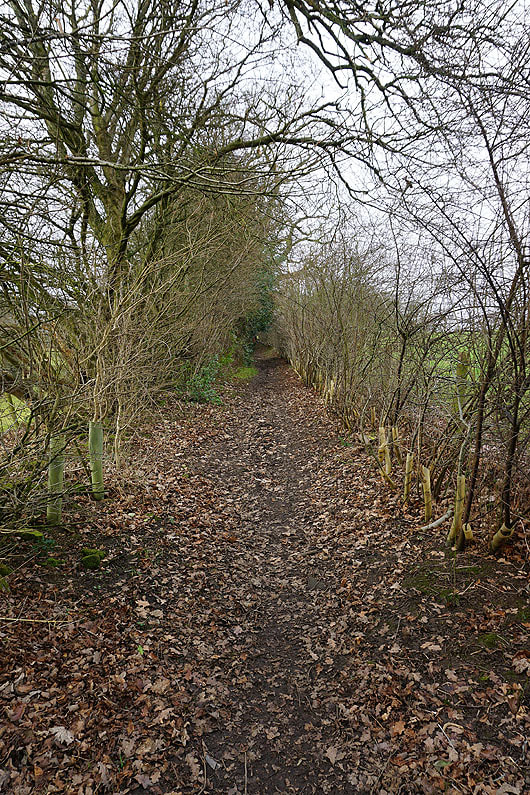
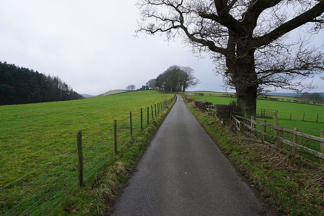
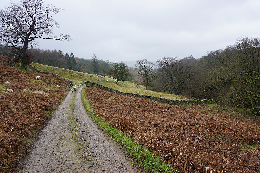
The path I'm following takes me uphill, across fields, and past Eagle Hall...
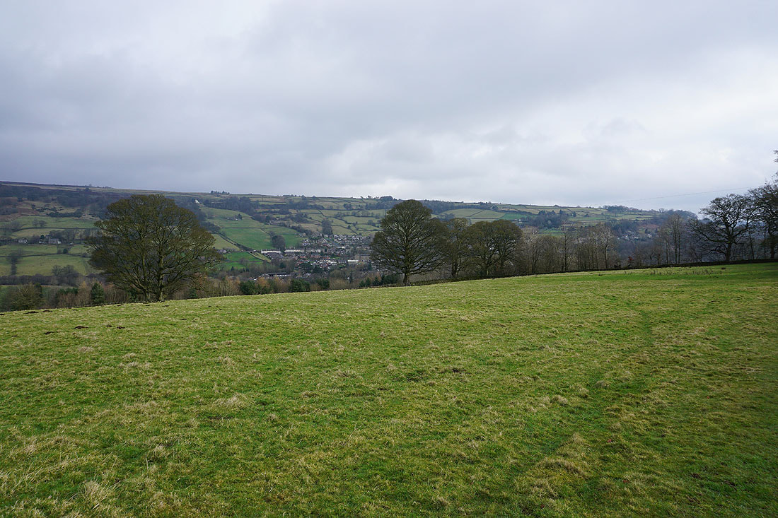
Views back across Nidderdale..
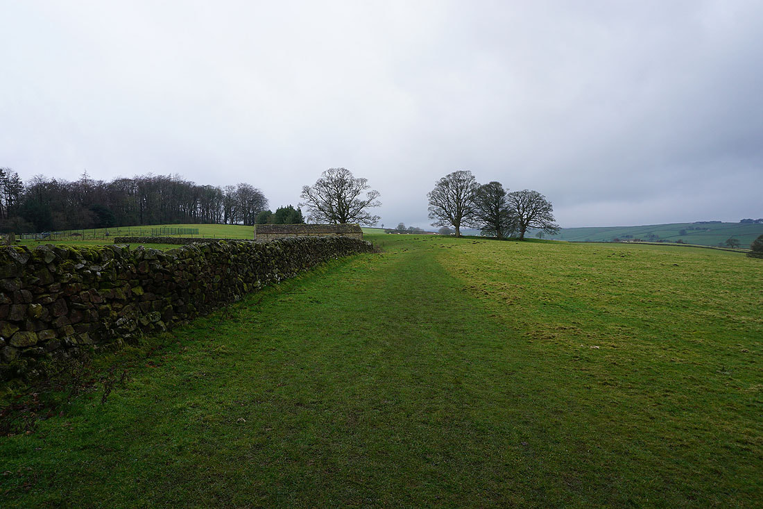
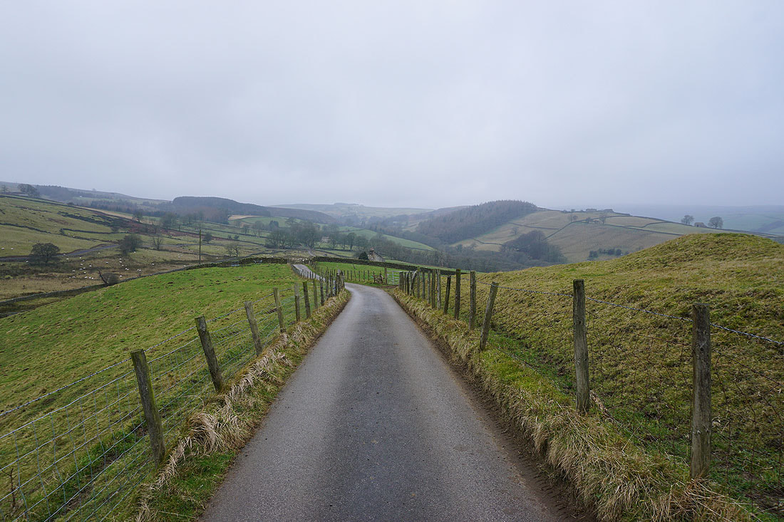
Onto the Nidderdale Way, which will take me to Ashfold Side
Looking back towards Pateley Bridge
Green Moor, the valley of Brandstone Beck and the hill of Nabs
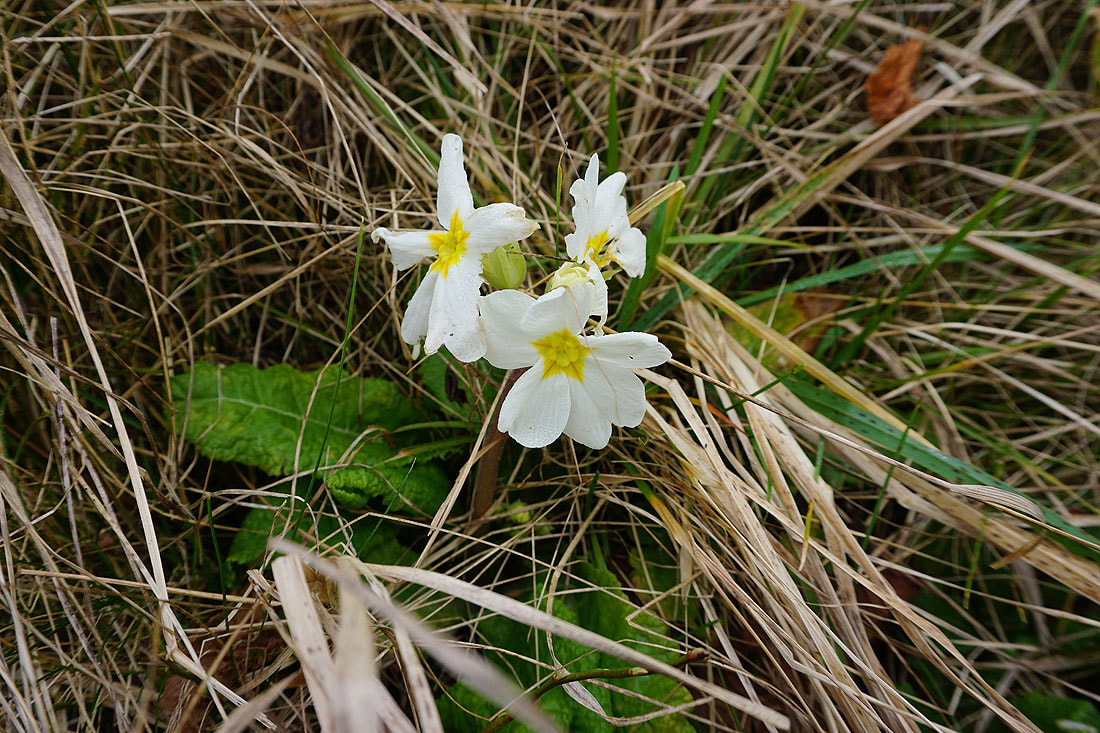
A very early primrose. Shows how a mild winter it's been so far.
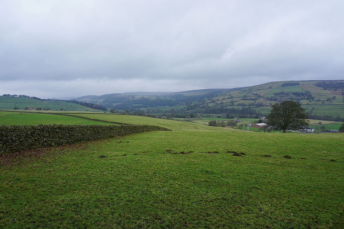
Looking back towards Nidderdale
On the Nidderdale Way to Brandstone Beck
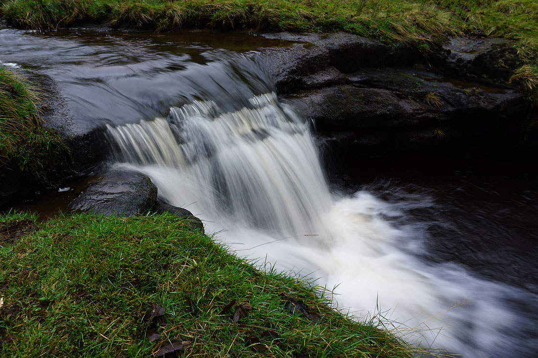
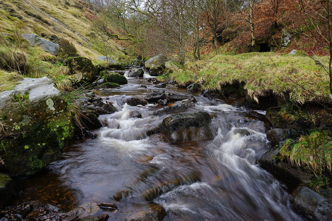
Brandstone Beck
and Brandstone Beck from Brandstone Dub Bridge
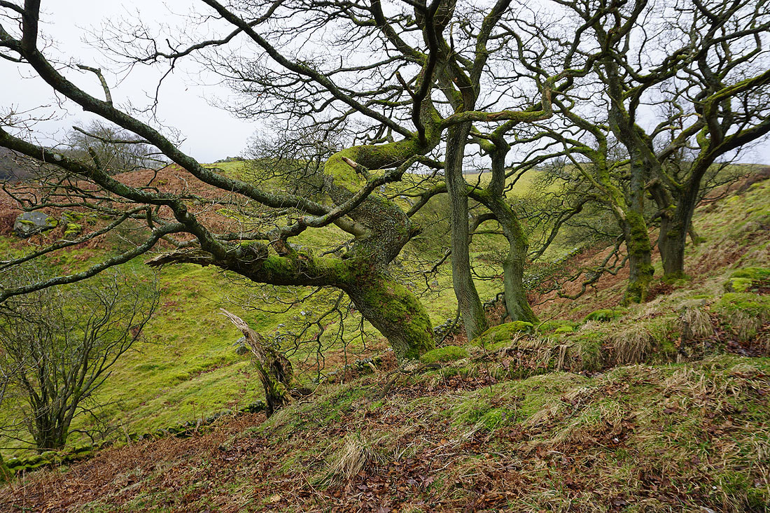
On a grey day gnarled trees covered in moss make an interesting subject
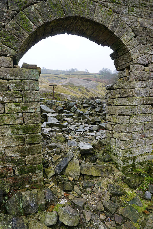
The track the Nidderdale Way follows takes me down through the ruins of the Providence and Prosperous Lead Mines
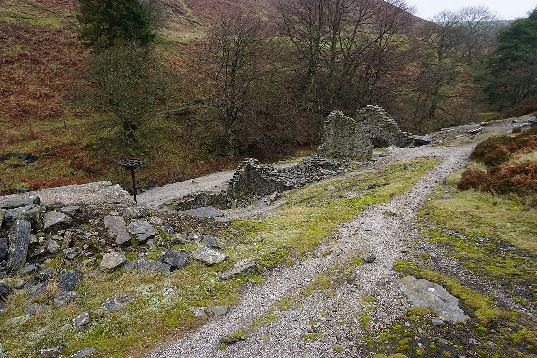
The ruins of the Prosperous Smelt Mill..
Ashfold Side Beck
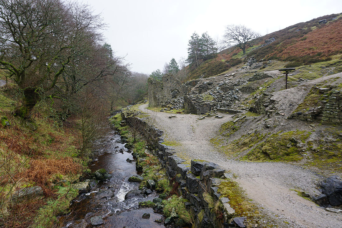
The ruins of the smelt mill beside Ashfold Side Beck
Following the Nidderdale Way east above Ashfold Side Beck
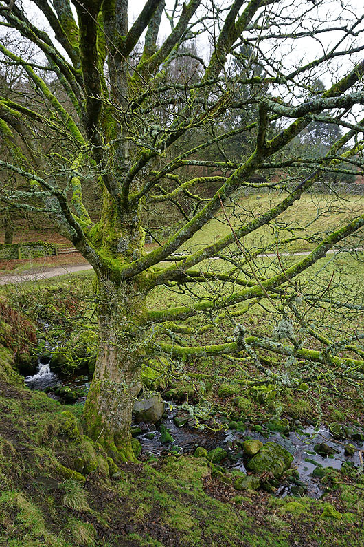
Past another moss covered tree
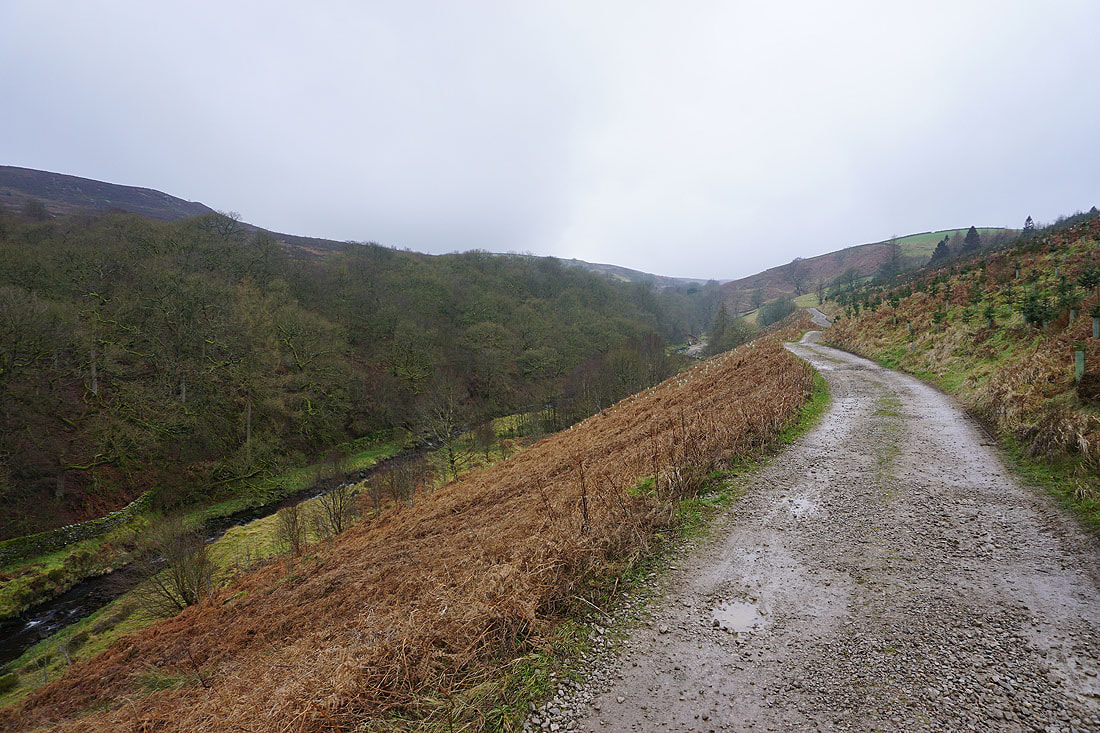
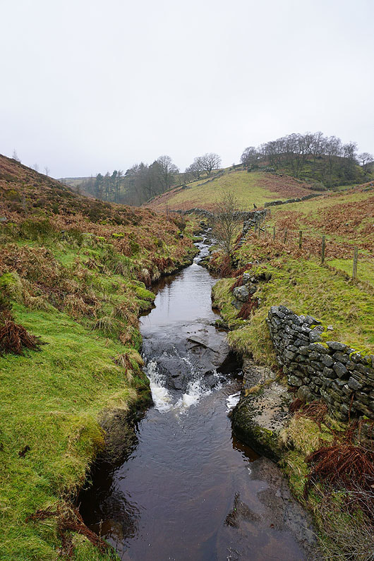
Looking back up the valley of Ashfold Side Beck
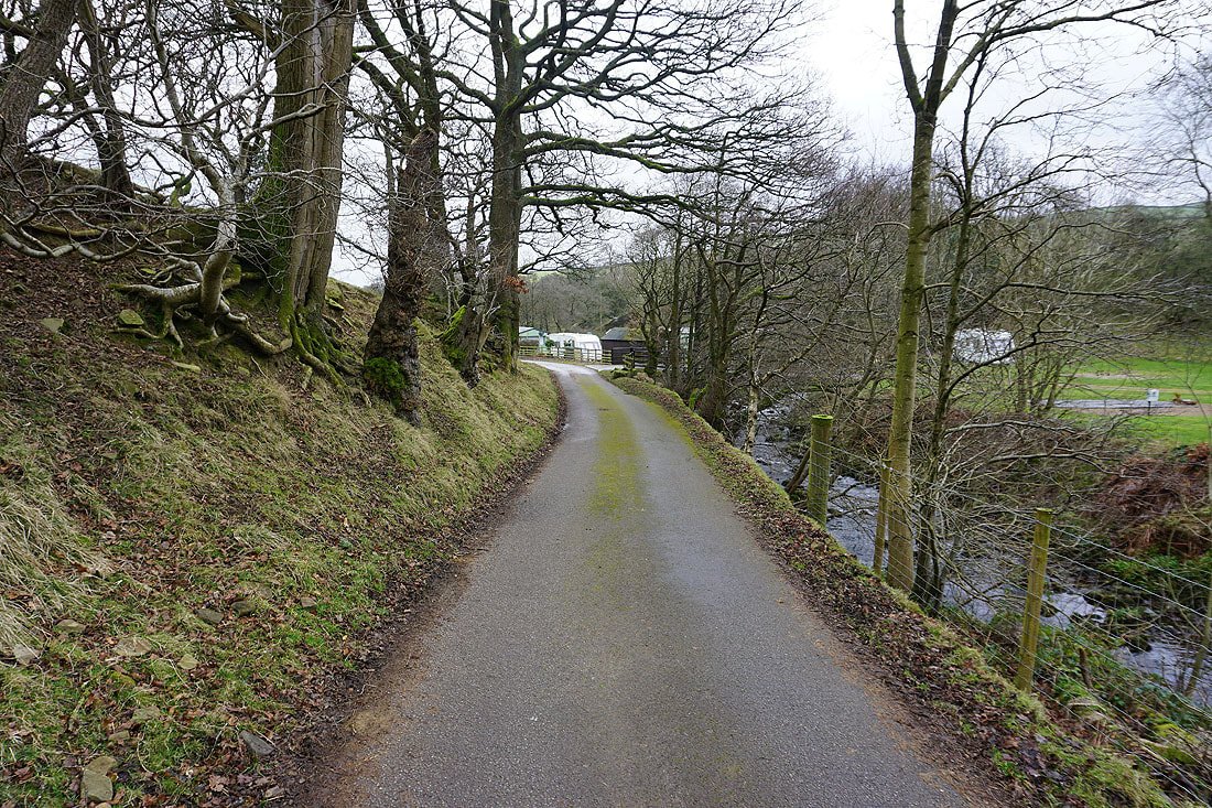
The Nidderdale Way passes through a caravan site
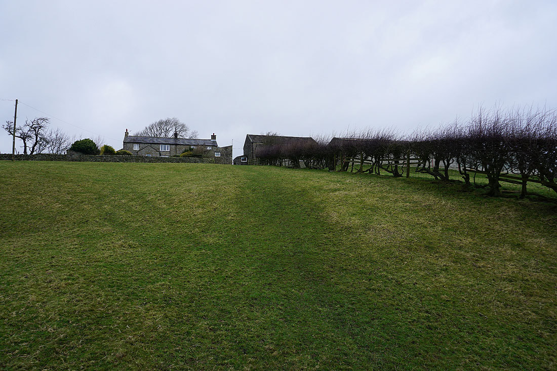
and then heads uphill to Spring House
Bewerley Moor in the distance from above Spring House
and looking down Nidderdale
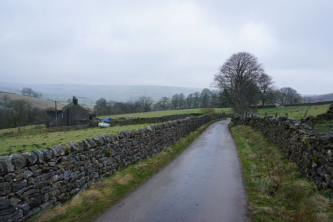
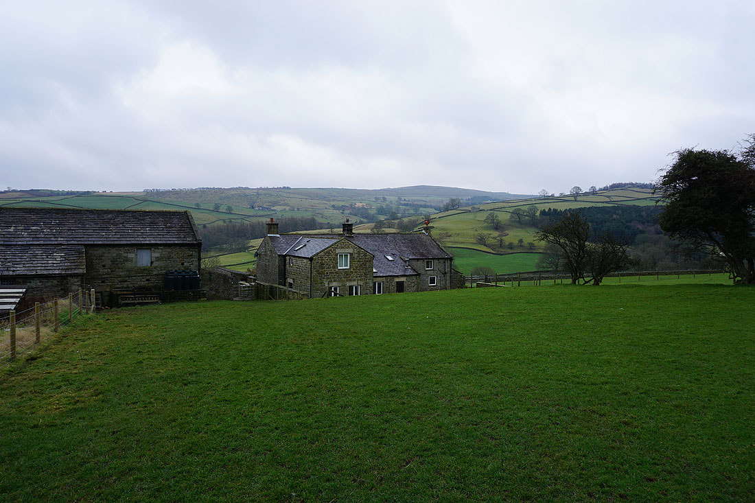
On Grange Lane below the hamlet of Heathfield
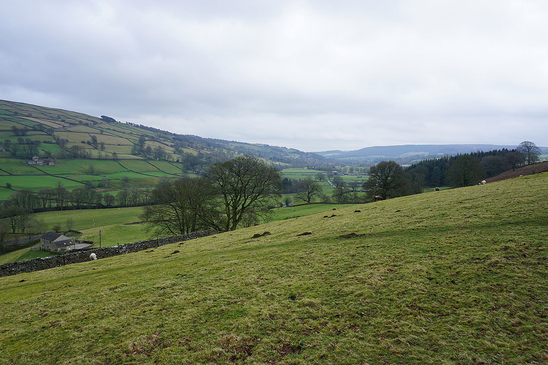
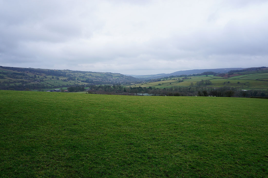
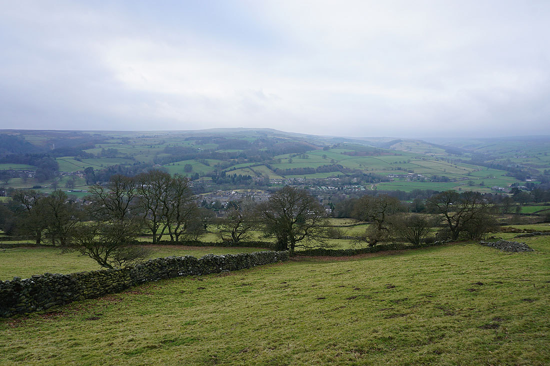
Looking down Nidderdale to Pateley Bridge as I head down to Wath Bridge
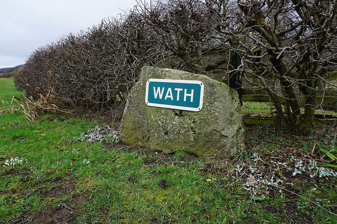
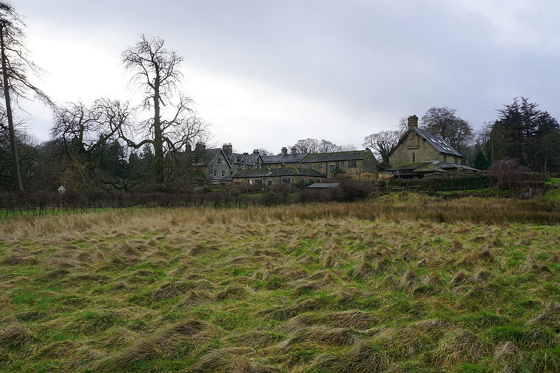
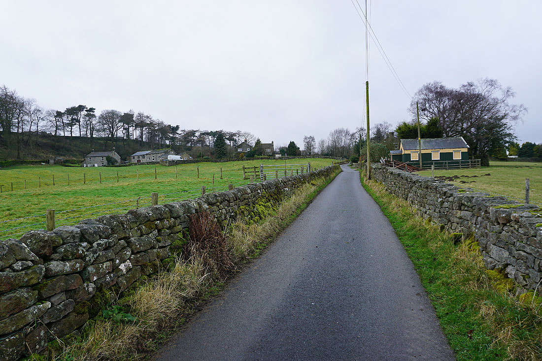
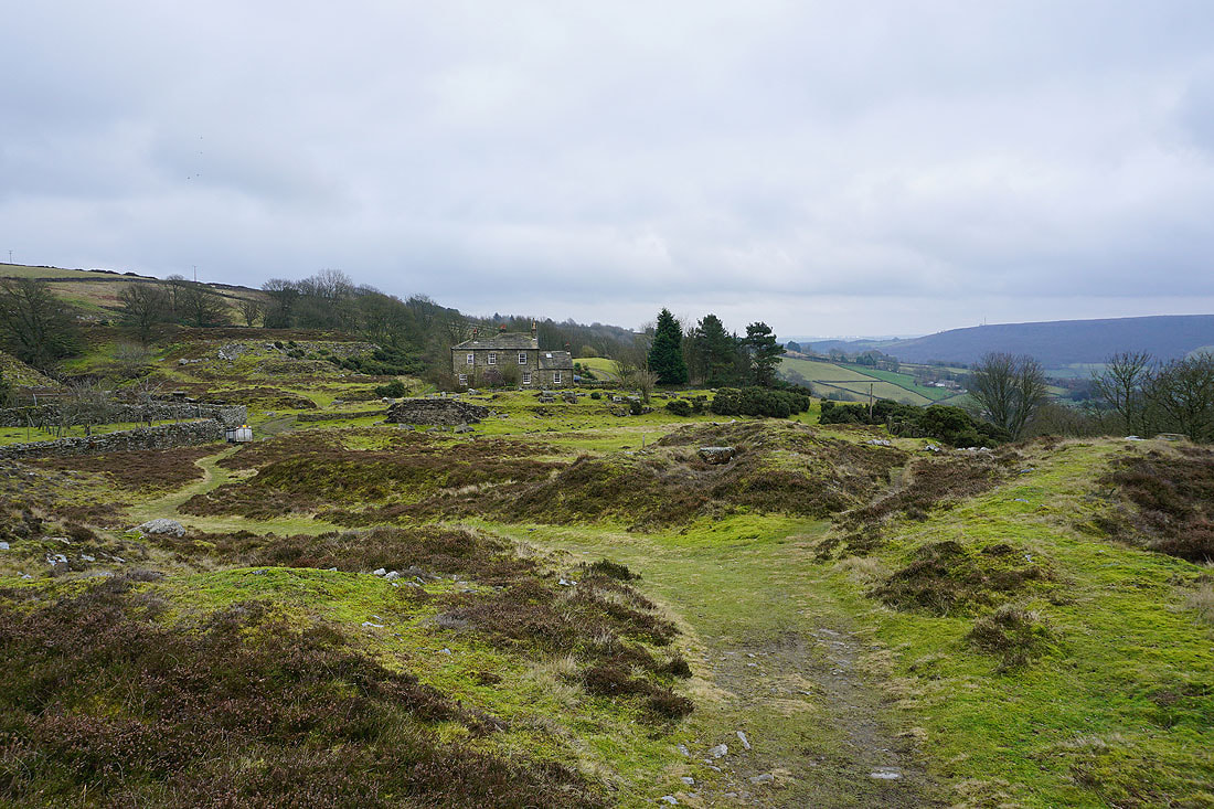
Arriving in the hamlet of Wath
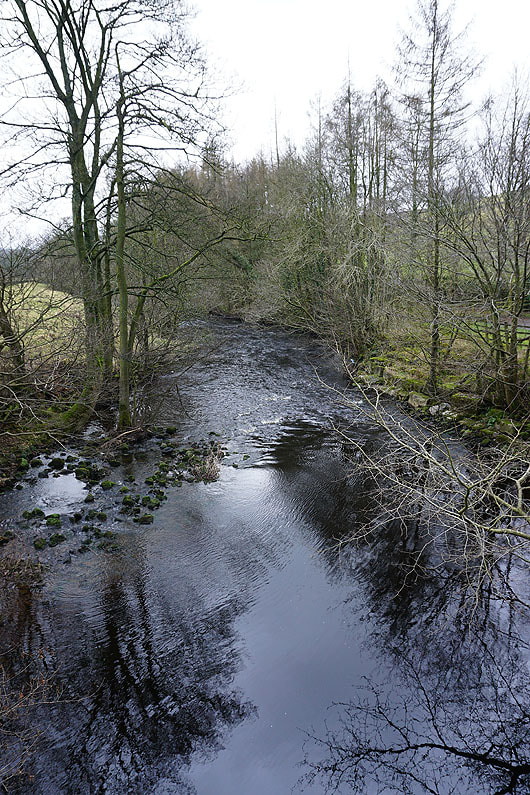
The River Nidd from Wath Bridge
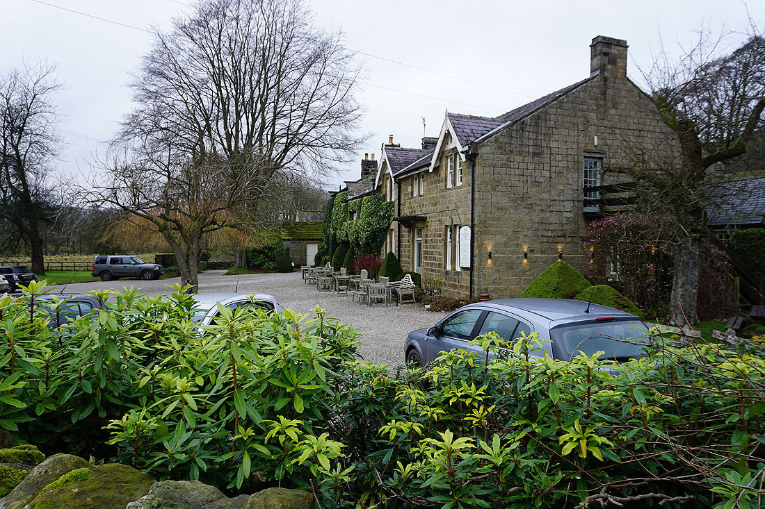
The Sportman's Arms in Wath
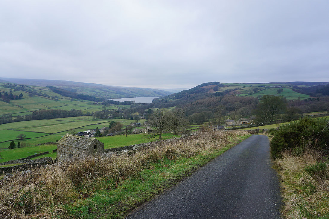
The best view that I've had all day by far. Gouthwaite Reservoir and Nidderdale as I head up Wath Lane.
Looking across Nidderdale to Bewerley Moor and Ashfold Side
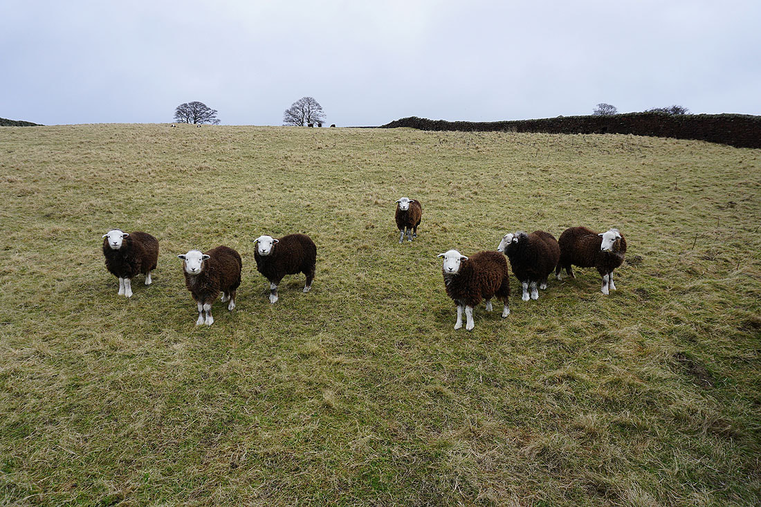
Young Herdwicks think that I've brought them their dinner
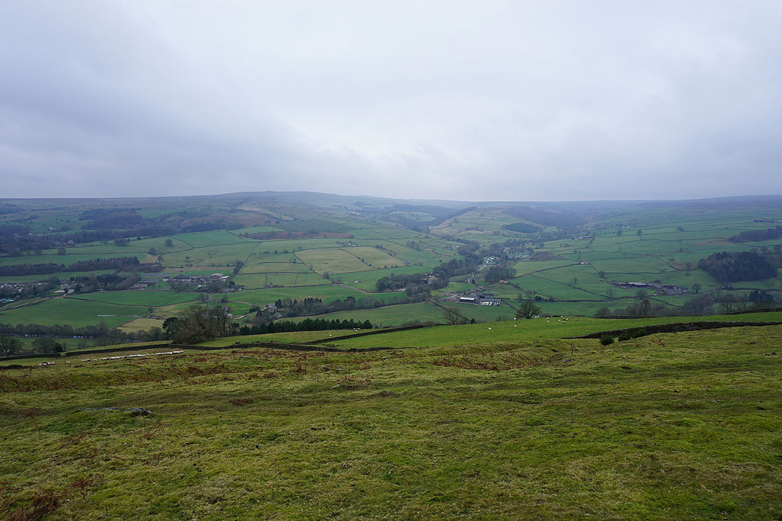
Bewerley Moor, Ashfold Side and Heathfield Moor
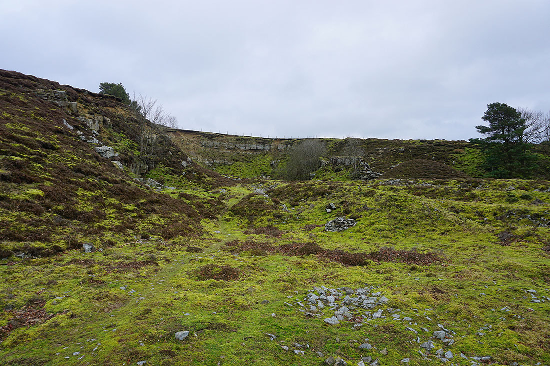
In the disused quarries above Pateley Bridge
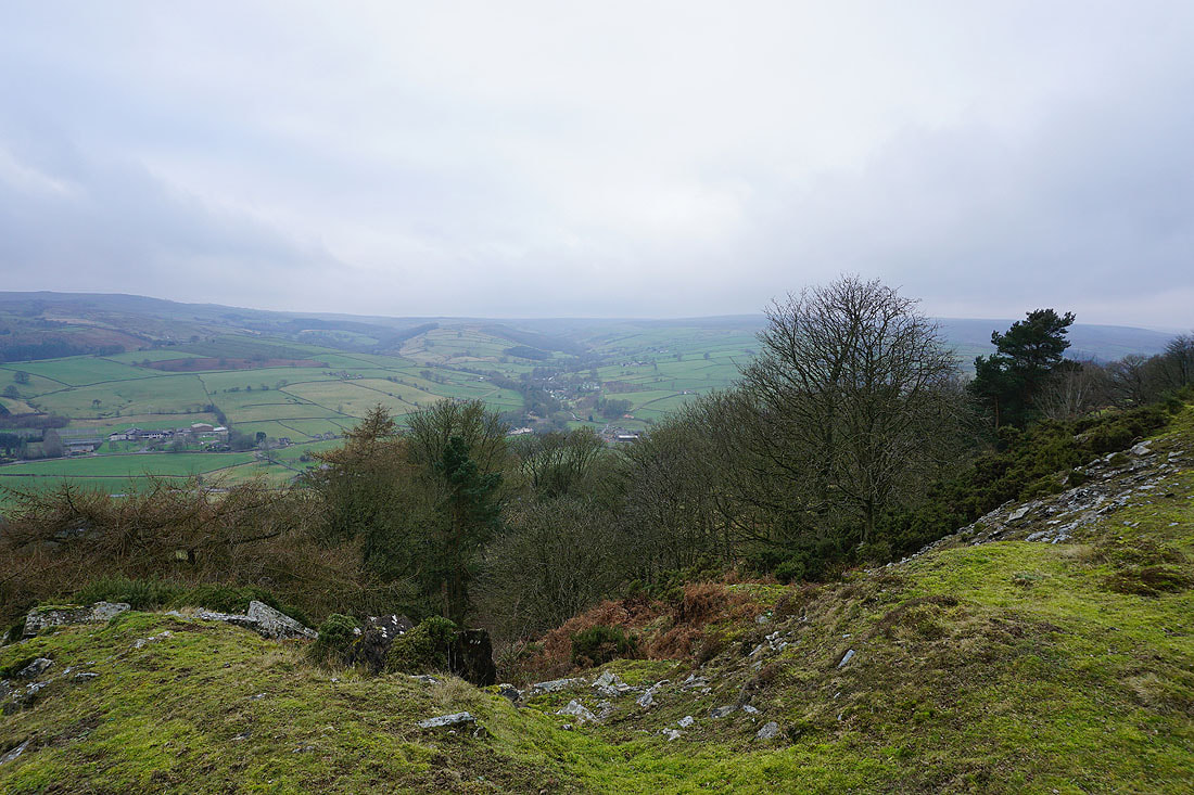
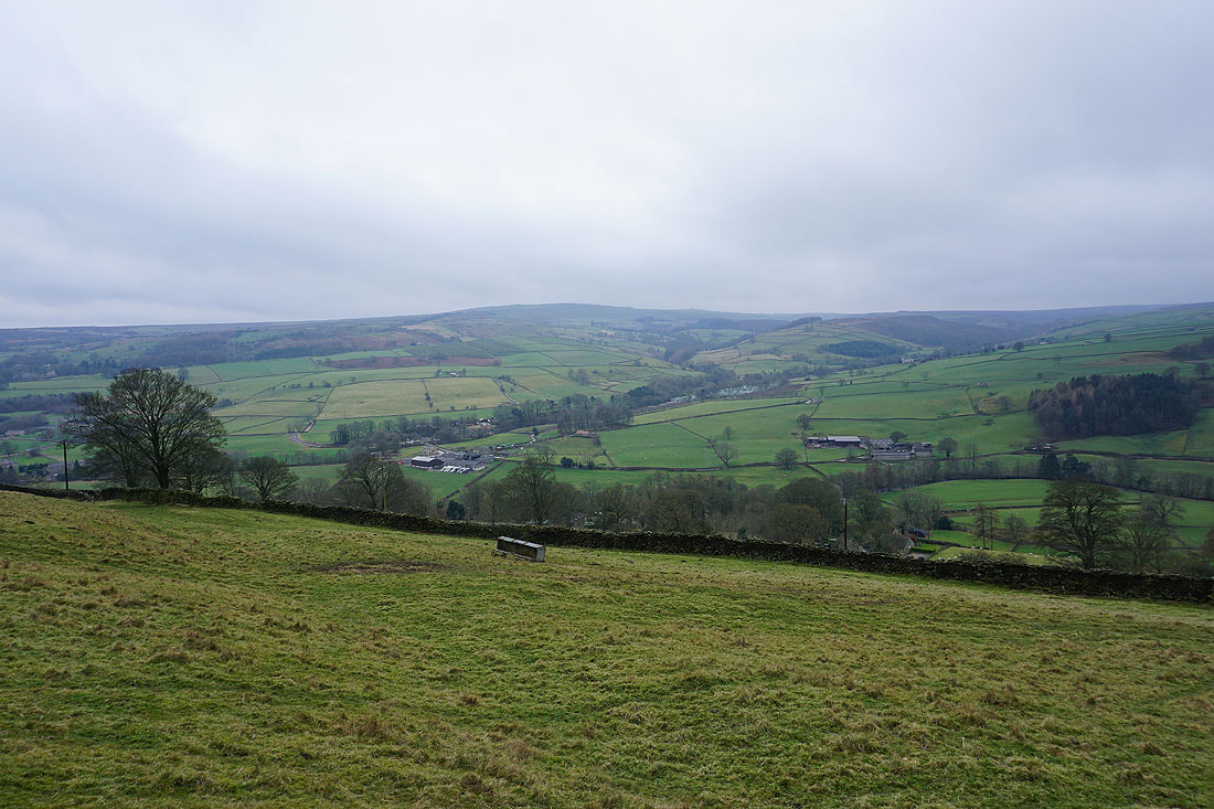
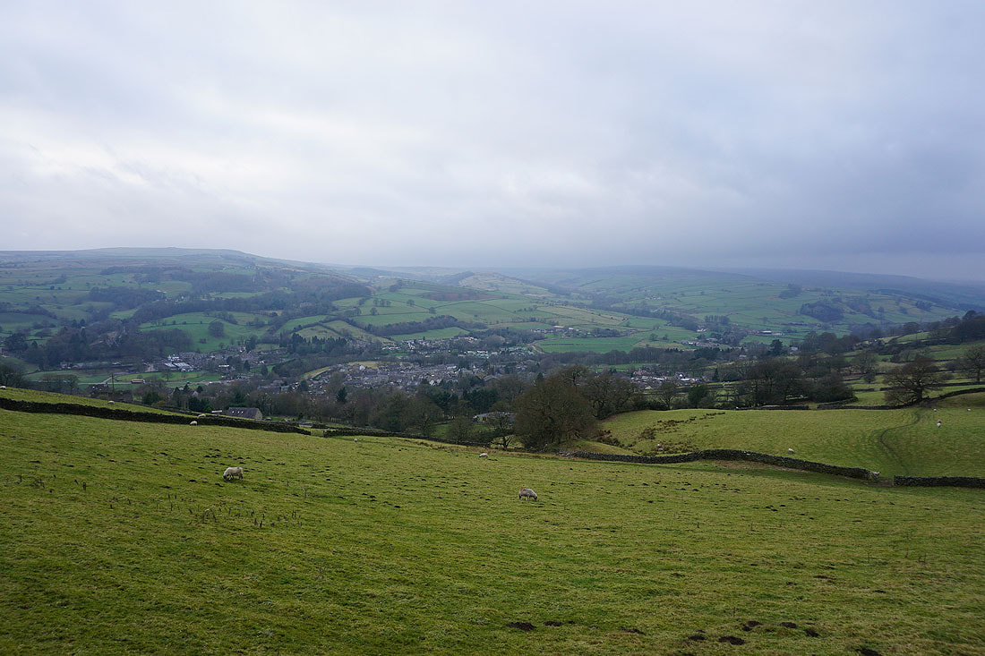
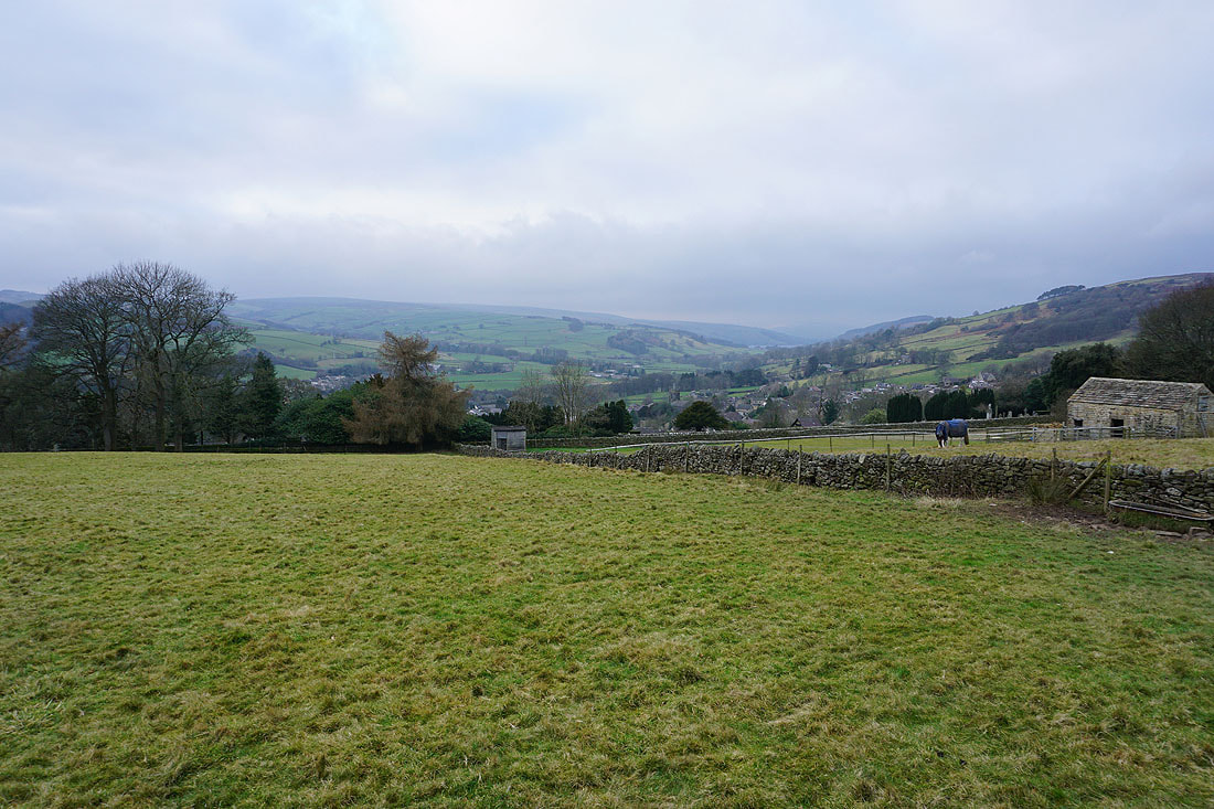
Looking across Nidderdale from the quarries
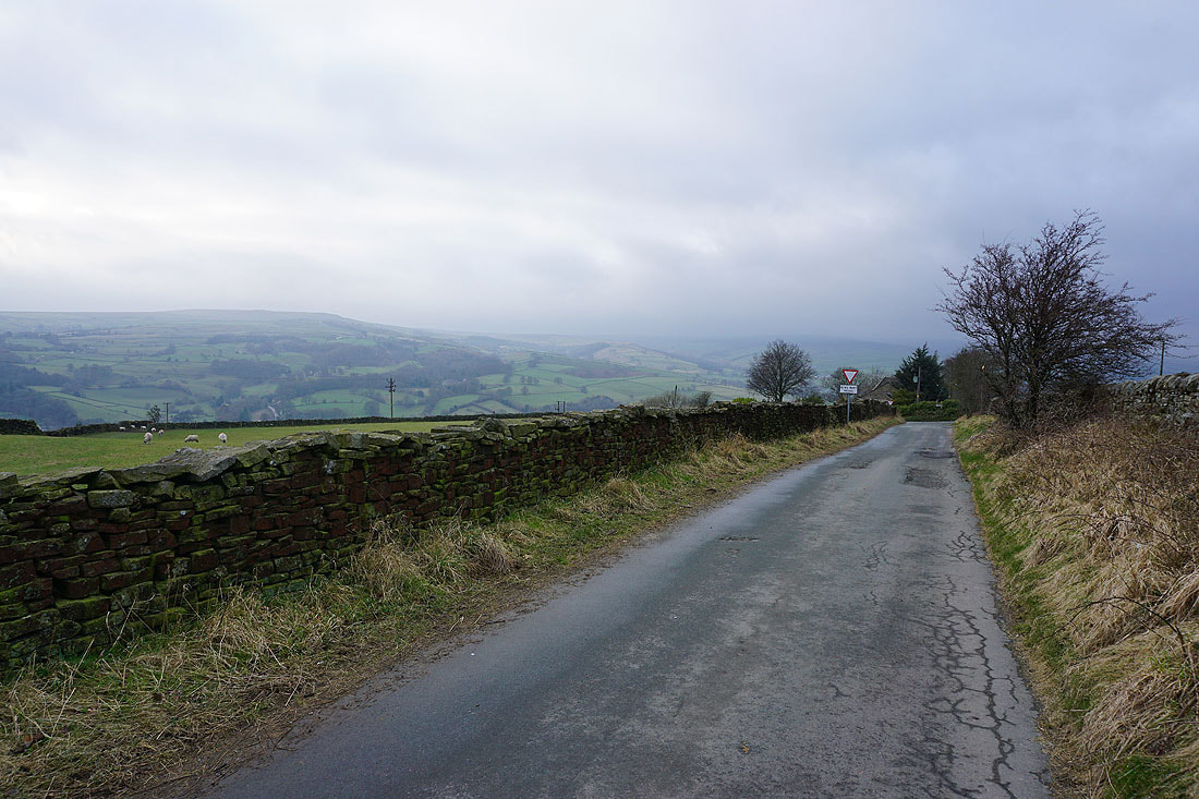
Past Scot Gate Ash..
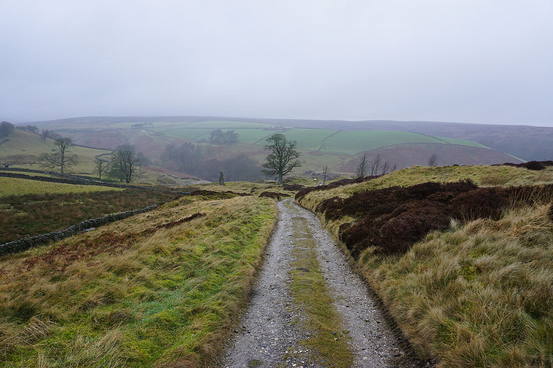
..and onto the track to the lane above Pateley Bridge
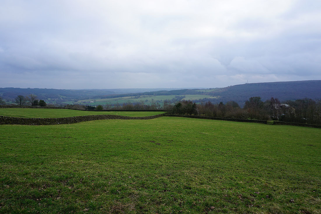
Great views of Pateley Bridge and Nidderdale, and there's even a bit of brightness in the sky..
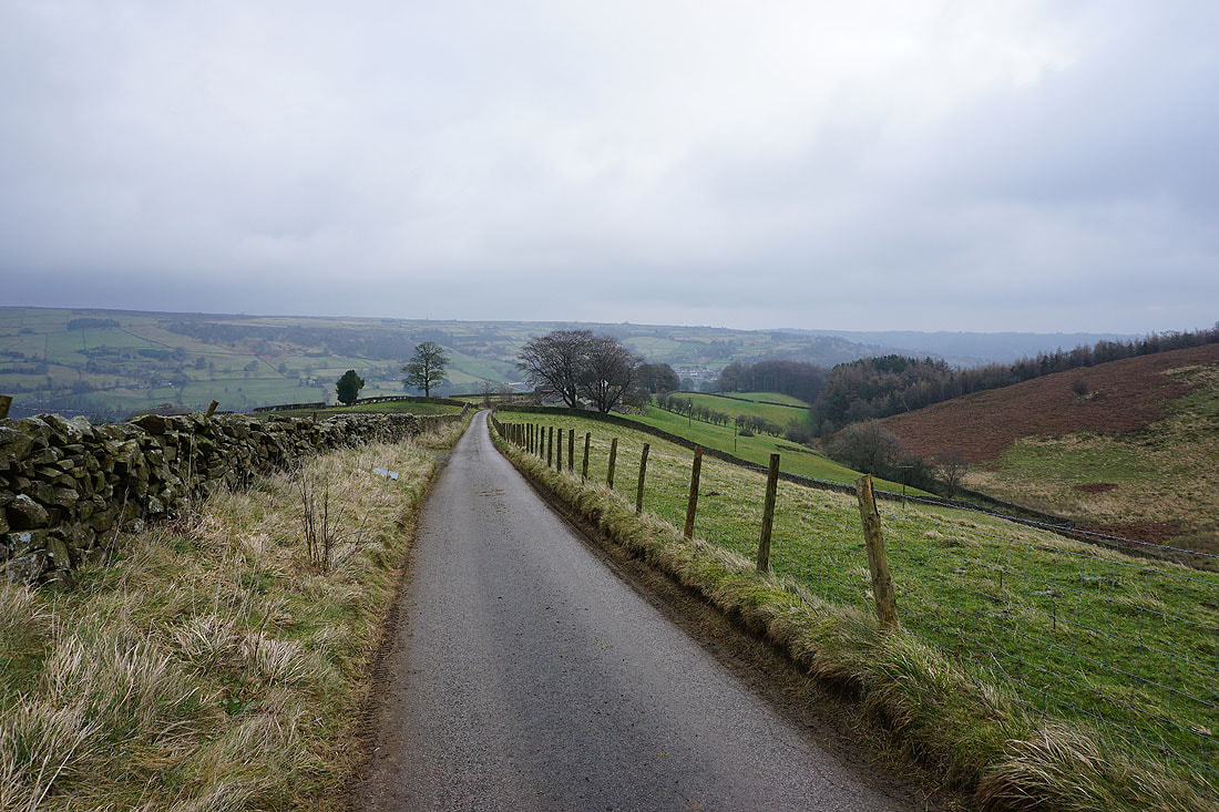
Looking up Nidderdale from the lane to Blazefield
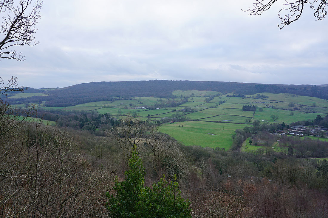
and down Nidderdale with Guise Cliff on the right, from the bridleway down to The Knott
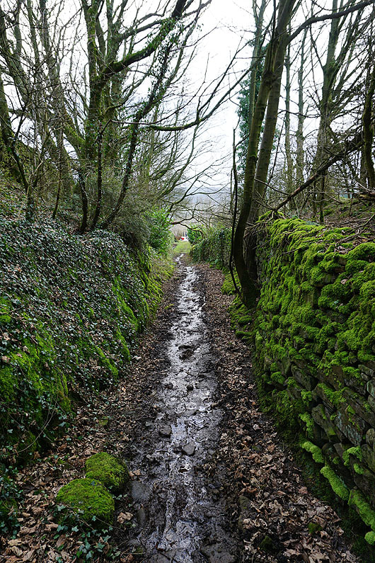
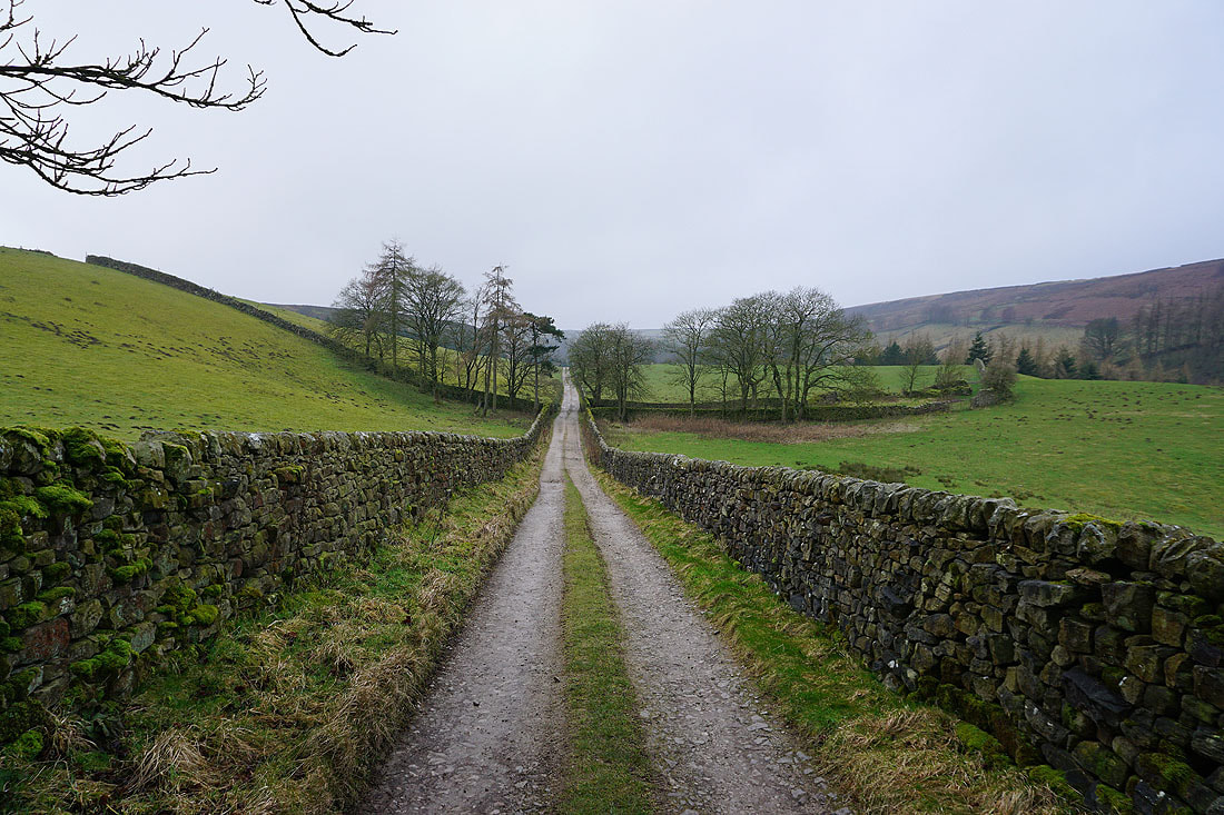
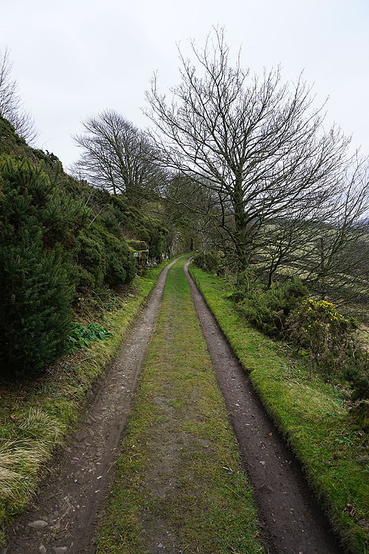
The bridleway becomes a track between moss covered walls
|
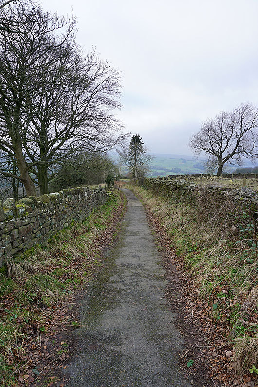
On the Nidderdale Way from The Knott towards Pateley Bridge
|
The view across Nidderdale to Guise Cliff from "The Rock" on the Panorama Walk
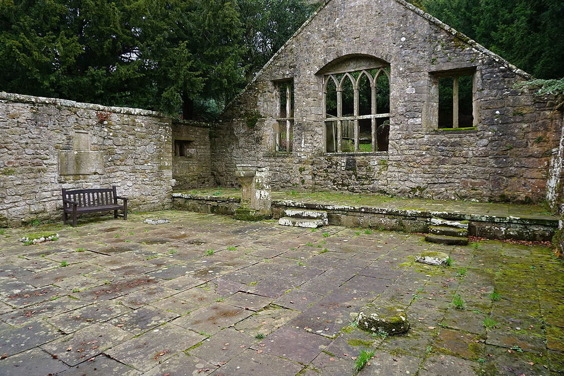
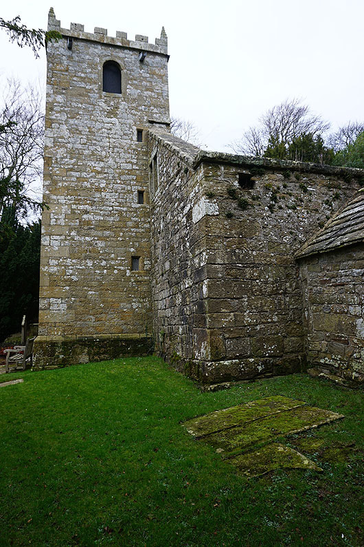
Pateley Bridge and Nidderdale from the path to the remains of St. Mary's church
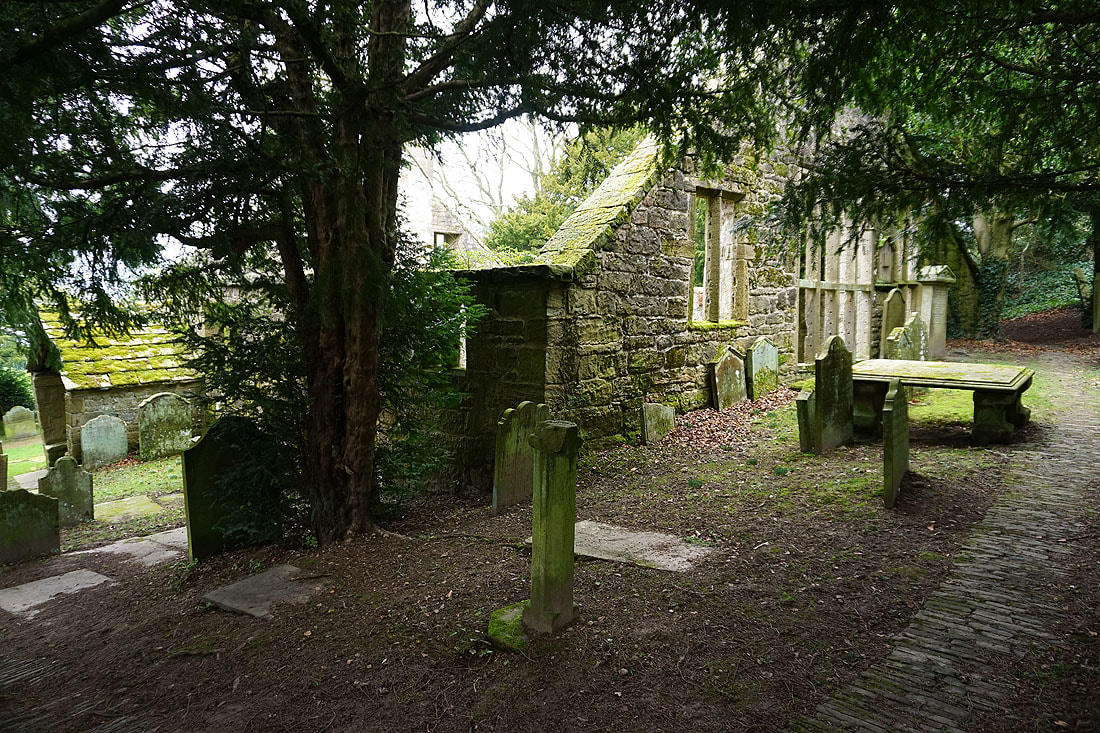
A few photos of the ruins before I head down to Pateley Bridge...