25th July 2015 - The Howgills
Walk Details
Distance walked: 9.6 miles
Total ascent: 2998 ft
OS map used: OL19 - Howgill Fells & Upper Eden Valley
Time taken: 8 hrs
Route description: Fairmile Gate-Linghaw-Fell Head-Bush Howe-The Calf-Calders-Arant Haw-Seat Knott-Bram Rigg-Castley-Four Lane Ends-Howgill Lane-Fairmile Gate
Since I did my first walk in the Howgills in 2007 I've tried to pay them a visit at least once every year. Every walk that I've done I've enjoyed. The wide-ranging views and open country make for great fell-walking. So, when I was trying to decide on where to go this weekend I realised that I hadn't been to the Howgills so far this year. Now I have. This route is one that I've done before but I didn't mind doing it again, the walk from Fell Head to Arant Haw means that you can keep high up for quite a length of time. Although I started with reasonably sunny skies the cloud built up during the afternoon and I ended up getting caught by a shower while I was making my way down from Arant Haw. When this cleared there was a lovely end to the afternoon.
From Fairmile Gate where there is parking on the verge it was uphill from the start to the top of Linghaw. There was then another climb to reach the summit of Fell Head. A walk across the tops; Breaks Head, Bush Howe and White Fell Head and I was at the high point of the walk, The Calf. My route back took me along the bridleway to Calders and down towards Arant Haw before leaving it to head for the summit. I then made my way down the west ridge of Arant Haw to reach the little top of Seat Knott. Below Seat Knott I followed the bridleway across Bram Rigg Beck before crossing the end of Bram Rigg to reach the bridleway to Castley and Four Lane Ends. A walk north along Howgill Lane brought me back to Fairmile Gate and where I was parked.
Route map
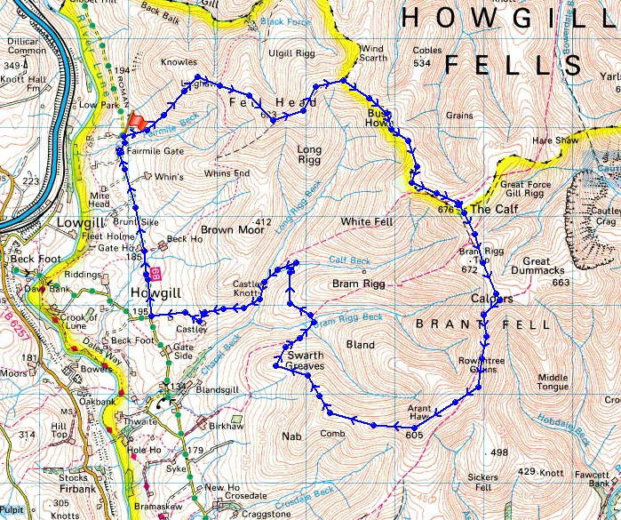
© Crown copyright. All rights reserved. License number PU 100034184.
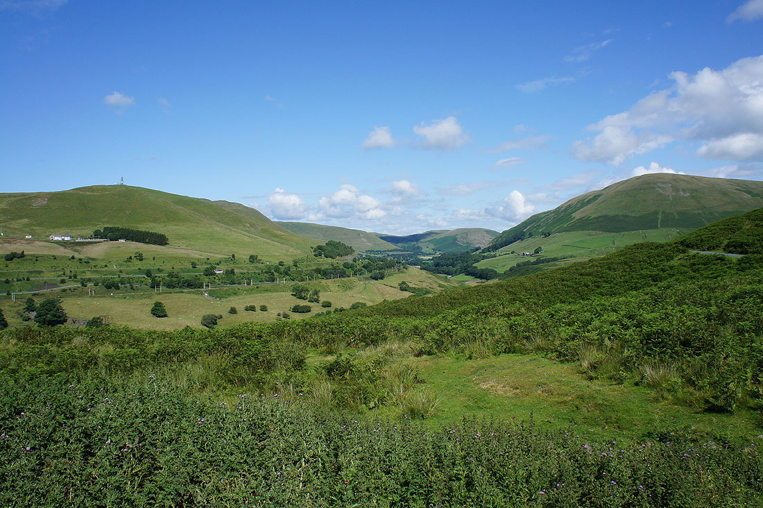
Before I set off, a view of the Lune gorge from Fairmile Road. There's the hill of Dillicar Knott on the left with the mast on its top and Blease Fell on the right.
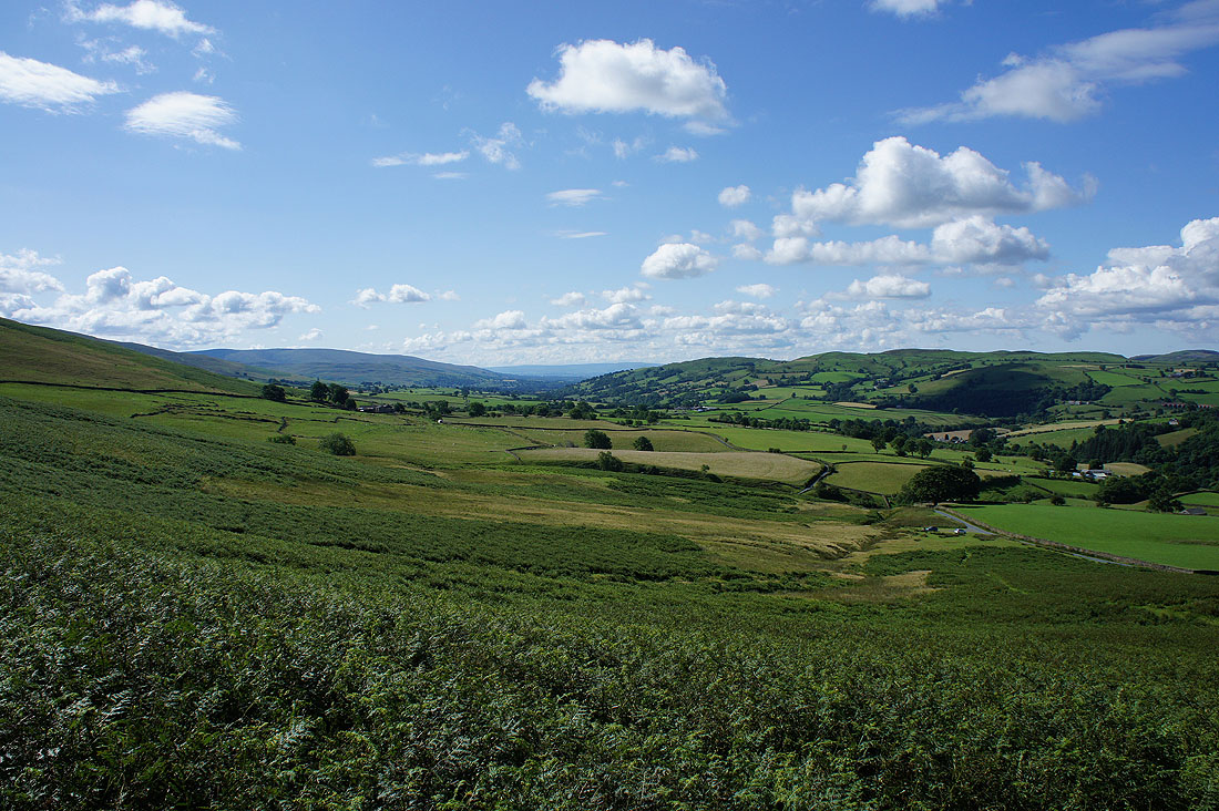
The Lune valley as I head up Linghaw
and a better view of the Lune gorge

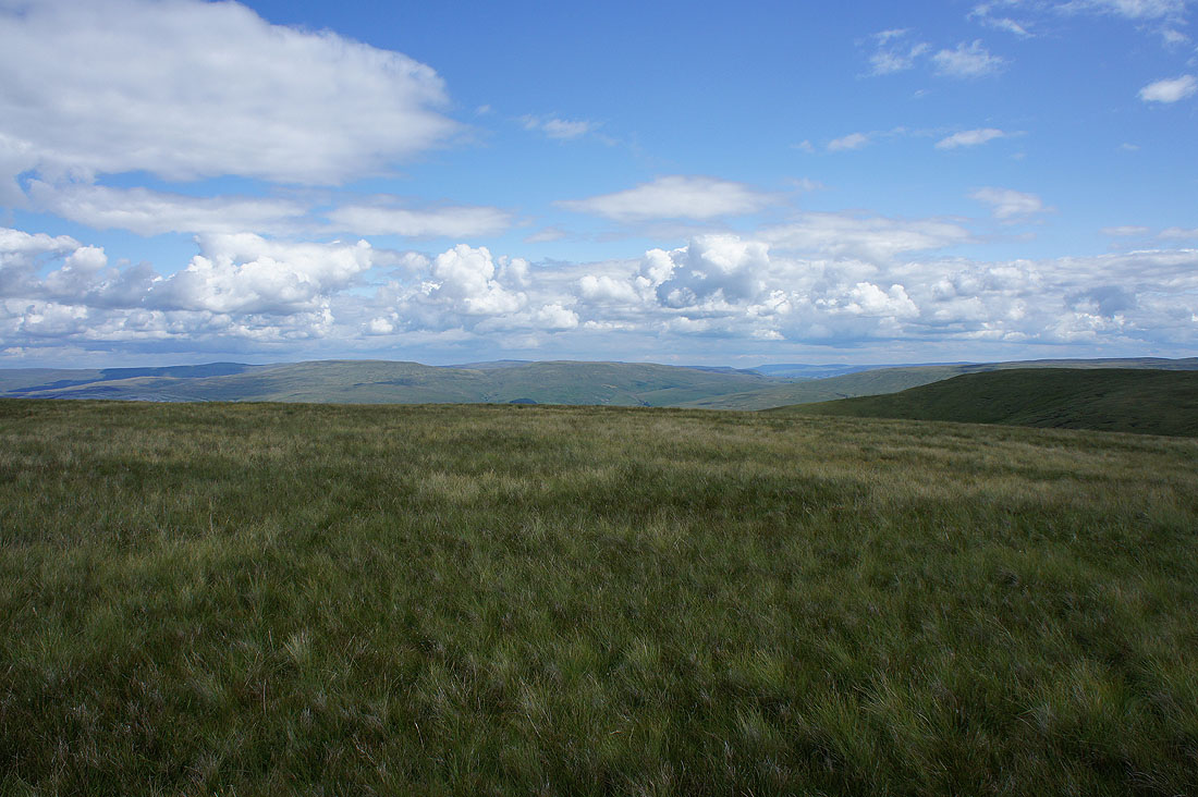
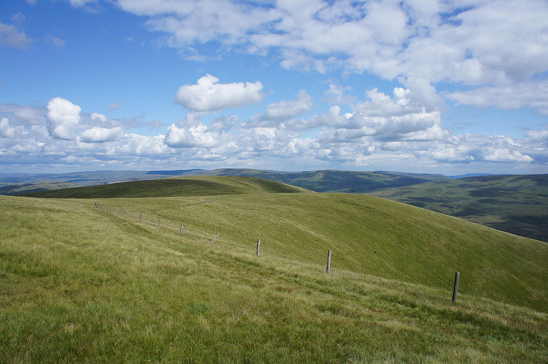
As I reach the top of Linghaw a fantastic view opens out to reveal the Lake District fells beyond the nearby Whinfell ridge
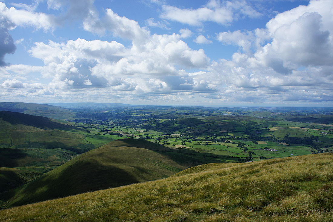
The Lune valley heads for the Forest of Bowland and Morecambe Bay from the lower top of Fell Head
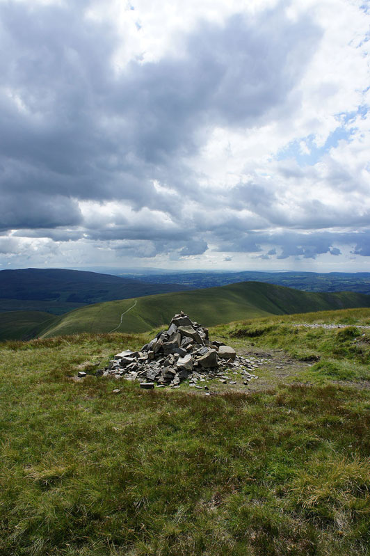
Quite a substantial cairn marks the top of Fell Head and this morning it seemed to be being used as a home for bees. They encouraged me to move on.
But first, a few photos. Looking across to the Lake District fells.
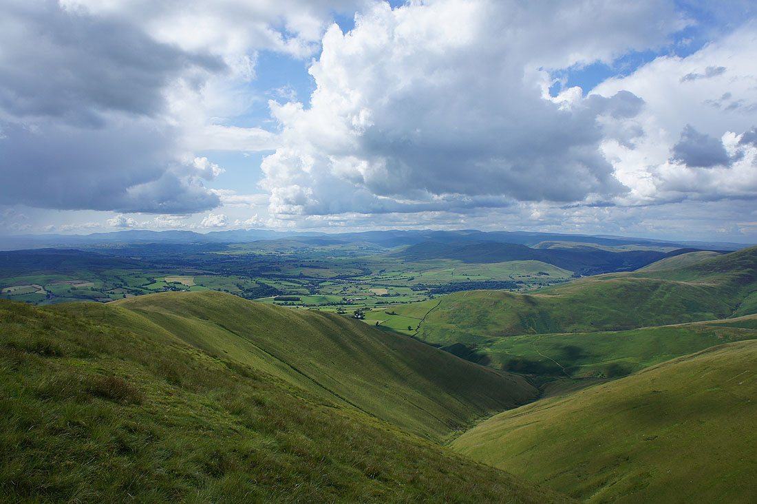
I can make out Penyghent, Whernside and Ingleborough to the southeast over the top of Arant Haw
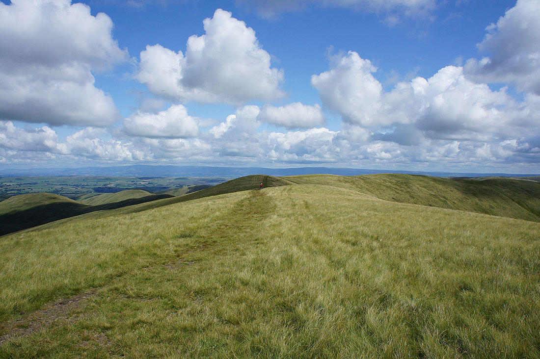
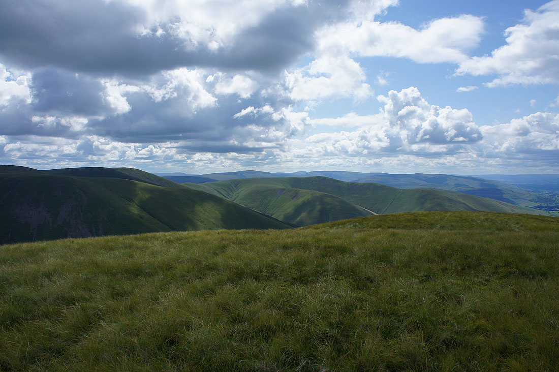
The onward route to Breaks Head with Cross Fell and the North Pennines a distant backdrop
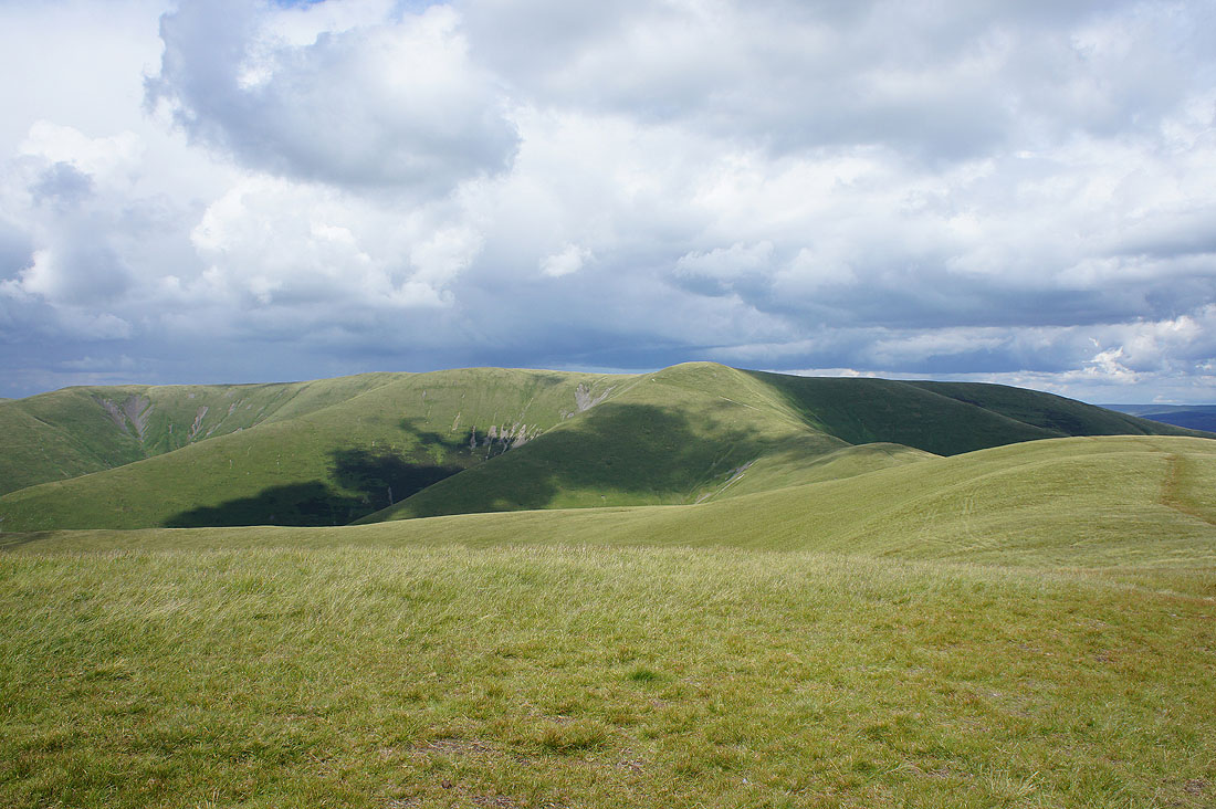
Looking across the northern Howgills from Breaks Head with Nine Standards Rigg and High Seat in the distance
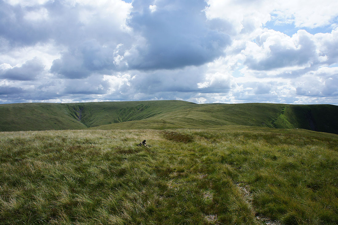
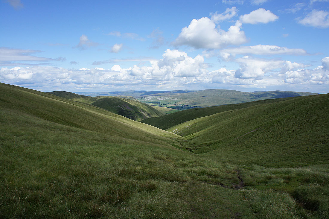
Bush Howe and White Fell Head with The Calf in shadow. Unfortunately I'm to lose some height as I cross Windscarth Wyke.
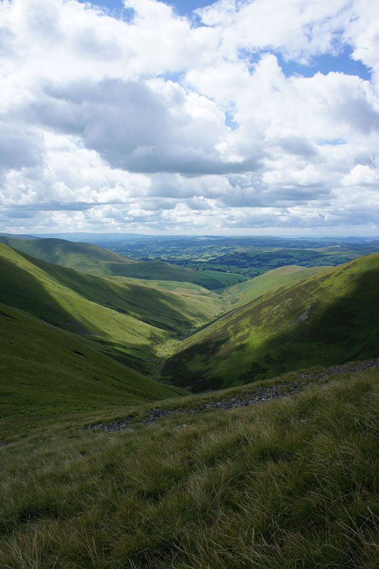
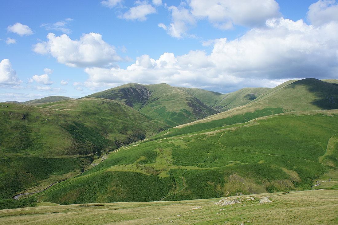
The deep valley of Long Rigg Beck as I head down
On Bush Howe and The Calf is close at hand
Looking round the side of Fell Head to the Lake District fells as I cross White Fell Head
After a much needed break for lunch, time to take in the great all round view from The Calf
Cross Fell, the North Pennines and the Eden valley
High Seat, Wild Boar Fell, Great Shunner Fell and Swarth Fell. There's also a distant view into Wensleydale on the right.
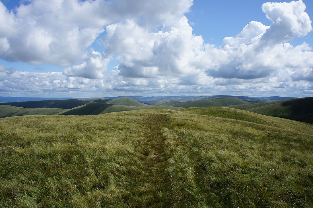
The bridleway to Calders
and Morecambe Bay
Finally, the Lake District fells. The air is really clear today, so even Great Gable and Pillar in the western fells can be made out.
The bright white limestone of Stennerskeugh and Fell End Clouds on the side of Wild Boar Fell really stand out as I cross the top of Force Gill Beck
A bit further on and the highest fells in the northeastern corner of the Howgills, Randygill Top and Yarlside, come into view
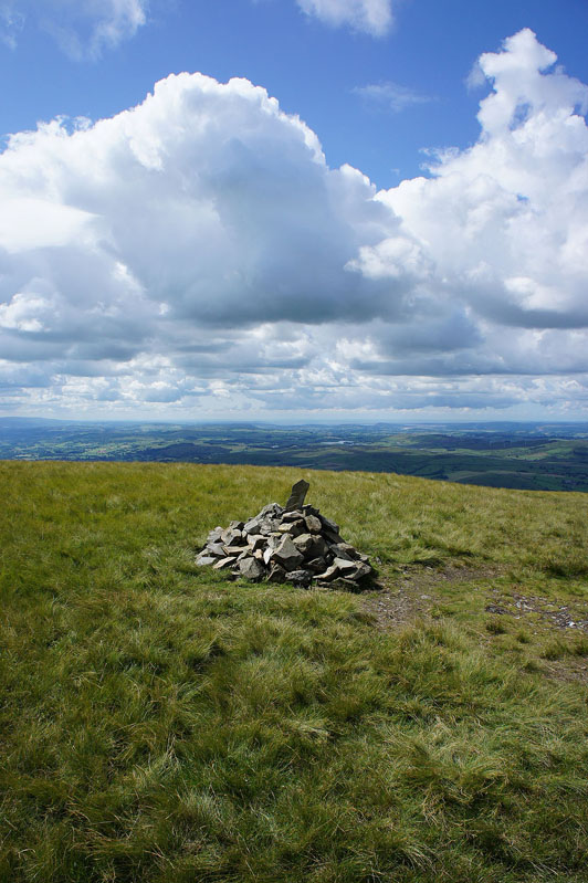
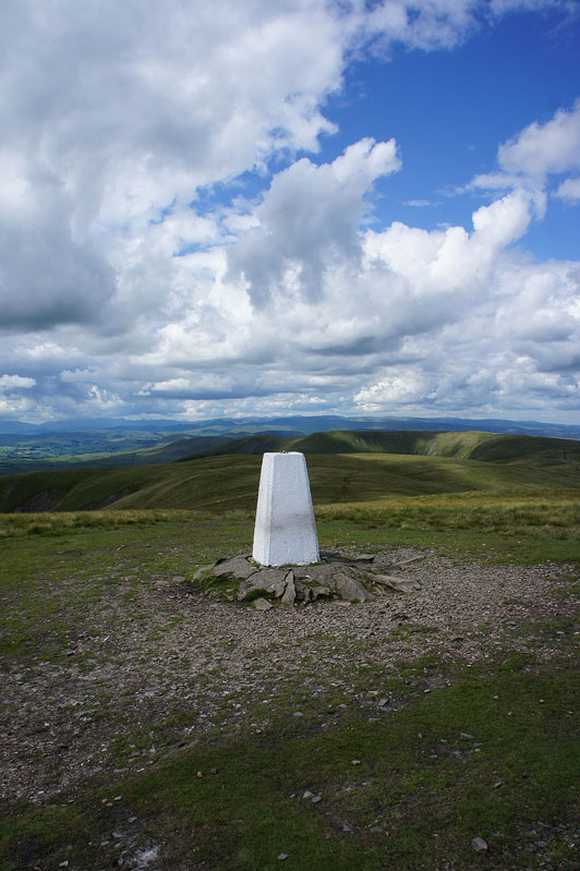
On the summit of Calders
Looking back to The Calf
High Seat, Wild Boar Fell and Swarth Fell beyond the nearby hill of Great Dummacks
All three of the Yorkshire 3 peaks can be seen from here. Penyghent, Whernside and Ingleborough.
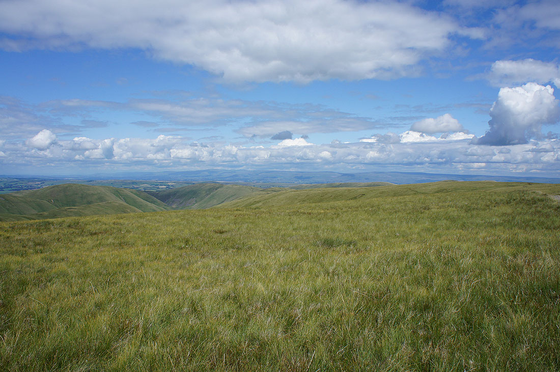
There's a really good view across to the Lake District from the western edge of the fell
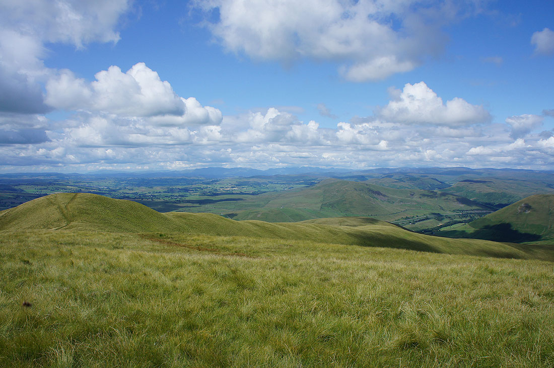
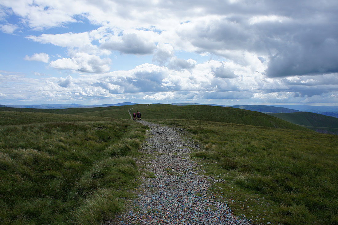
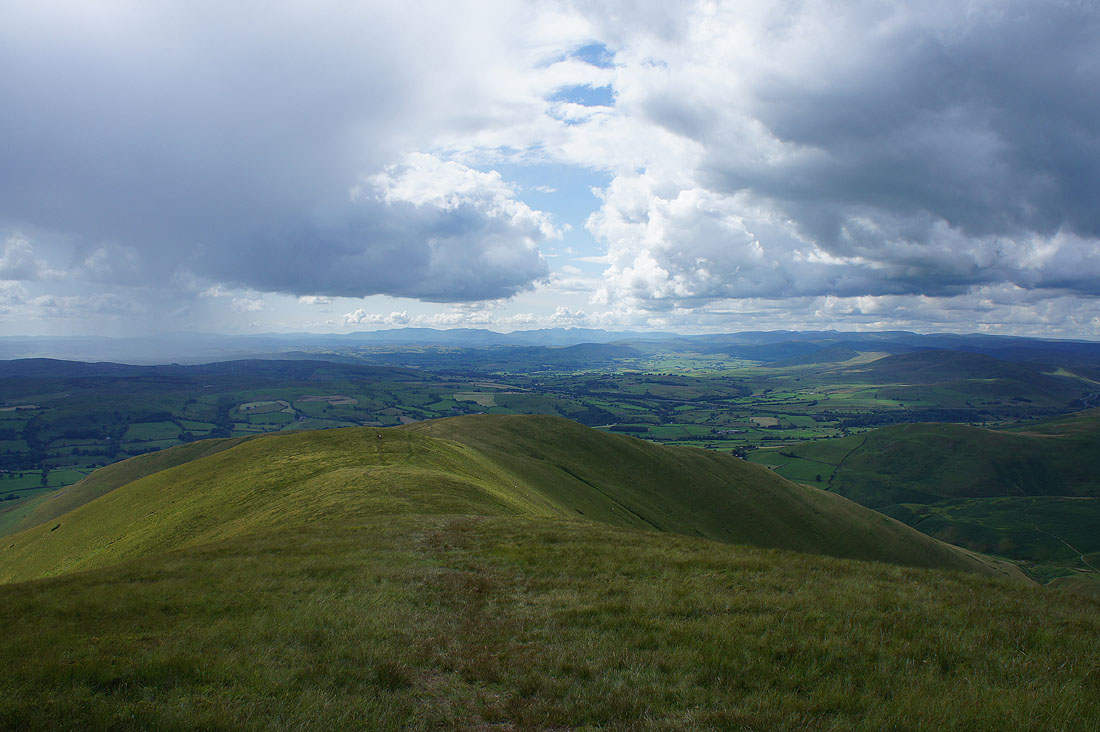
Next stop Arant Haw
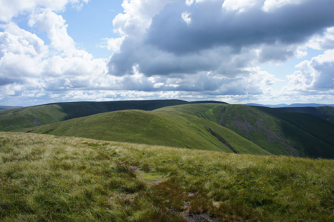
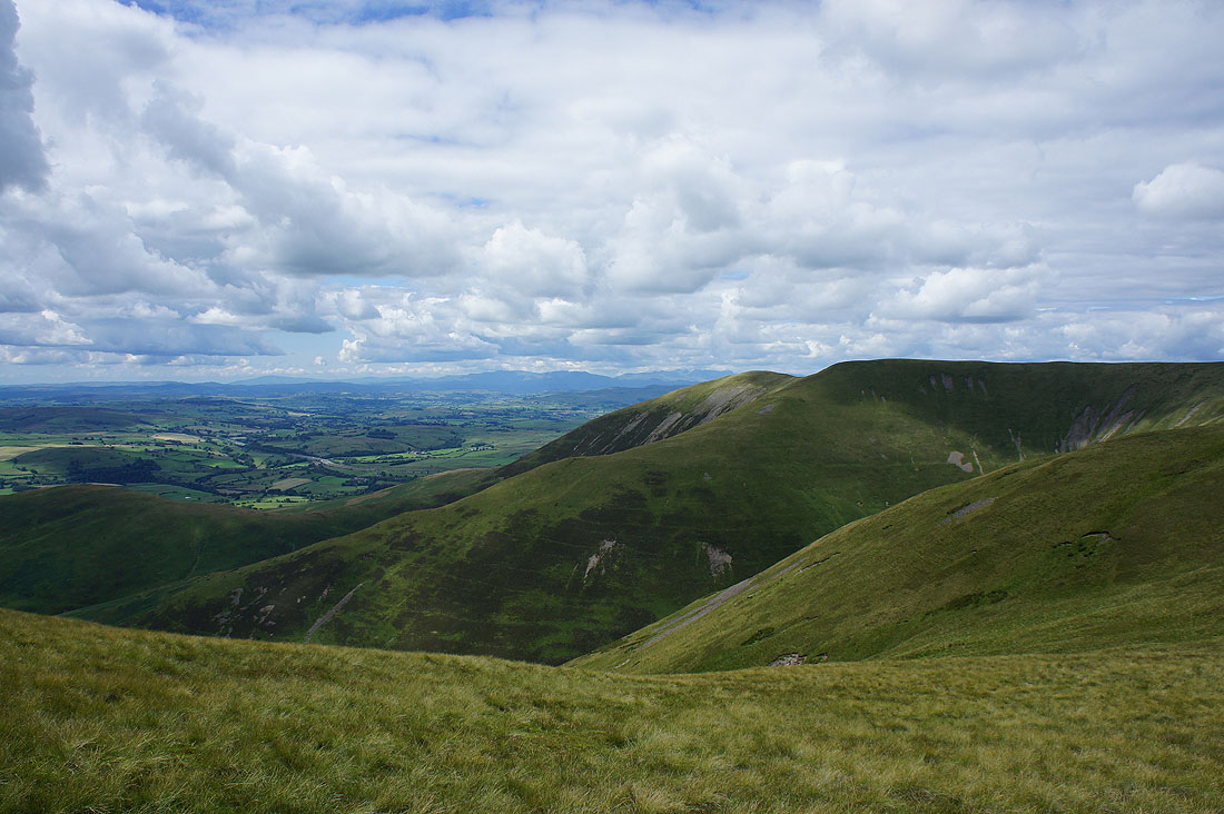
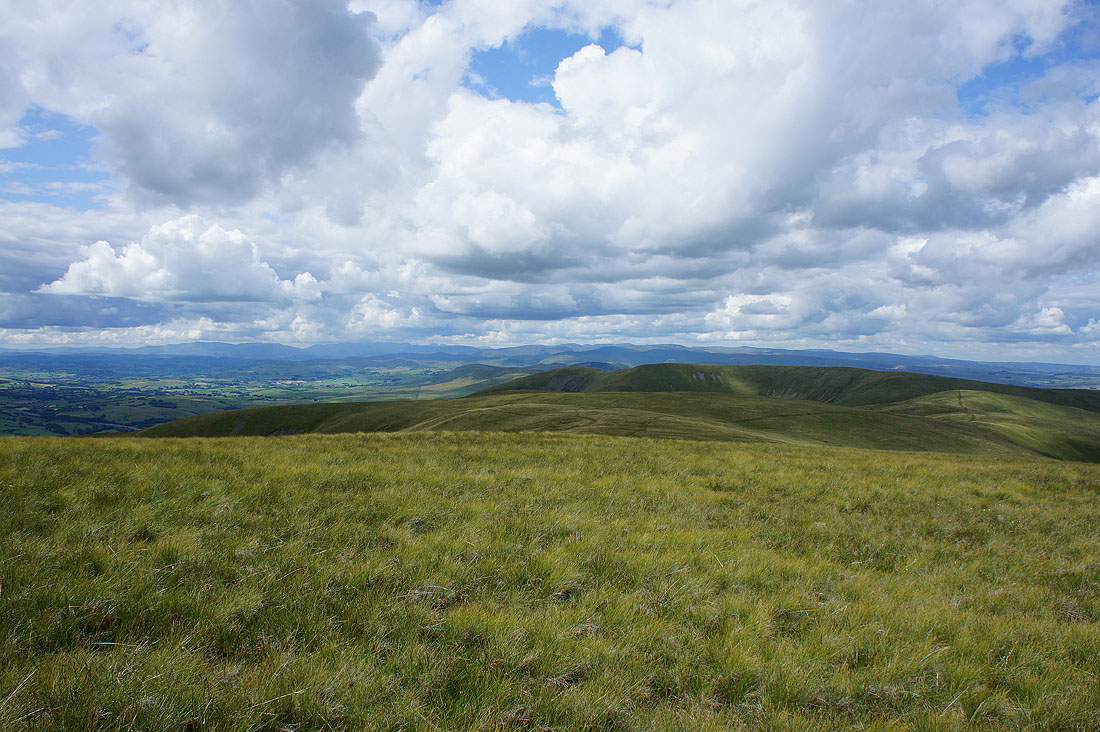
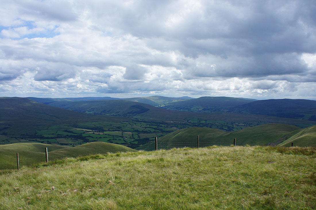
The Calf, Bram Rigg Top and Calders from Arant Haw
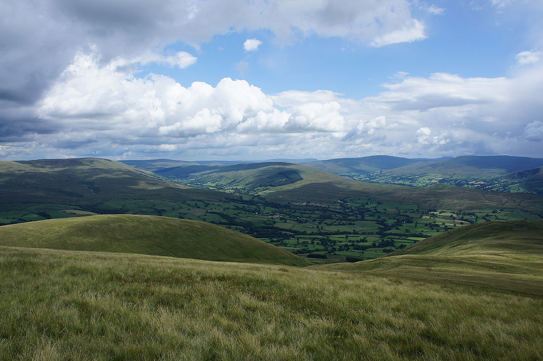
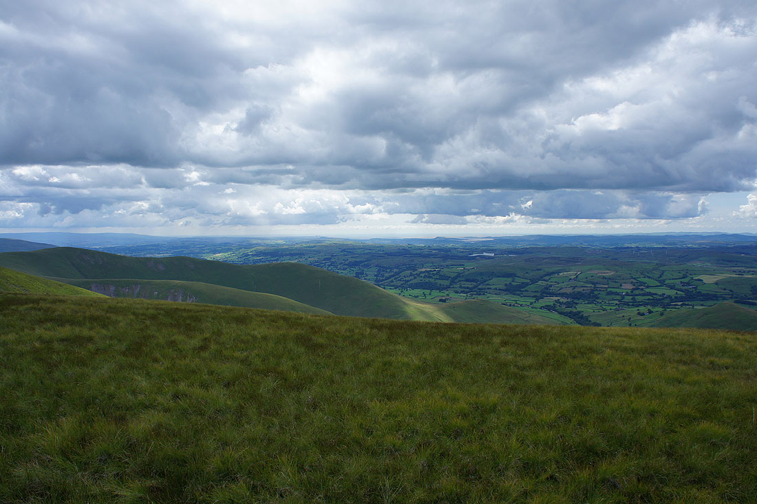
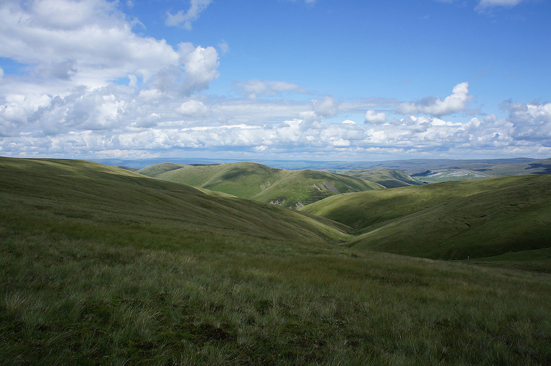
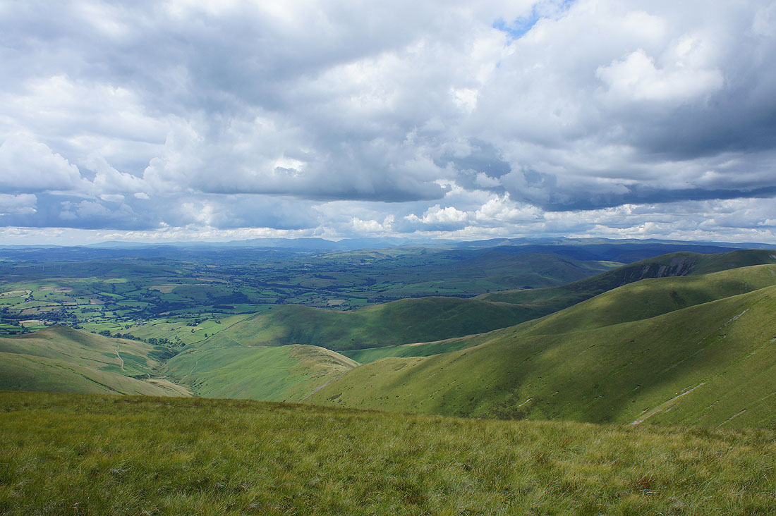
Looking into the heart of the Yorkshire Dales. Baugh Fell on the left, then Great Knoutberry Hill, Garsdale, Rise Hill, Penyghent, Whernside, Dentdale and Great Coum.
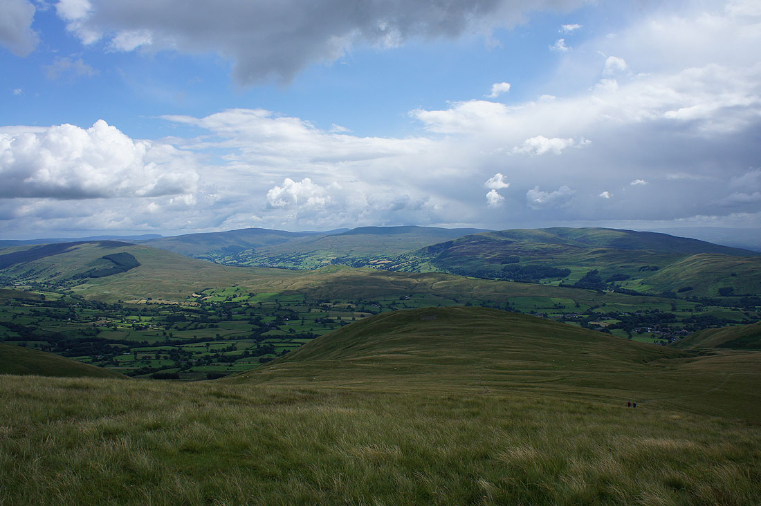
Rise Hill, Penyghent, Whernside, Dentdale, Great Coum and Middleton Fell with the Rawthey valley running from left to right below
The hill of Winder. I'd noticed that showers had been building for the past couple of hours and that so far none had come near me. Looks like my luck might run out.
A final shot from Arant Haw towards the Lake District with the ridge on the left being my route of descent
On my way down the ridge and it looks like I'm about to get wet

I decided to wait it out at the end of the ridge while the shower blew through and cleared. It was worth the wait. The air cleared and there were lovely sunny skies.
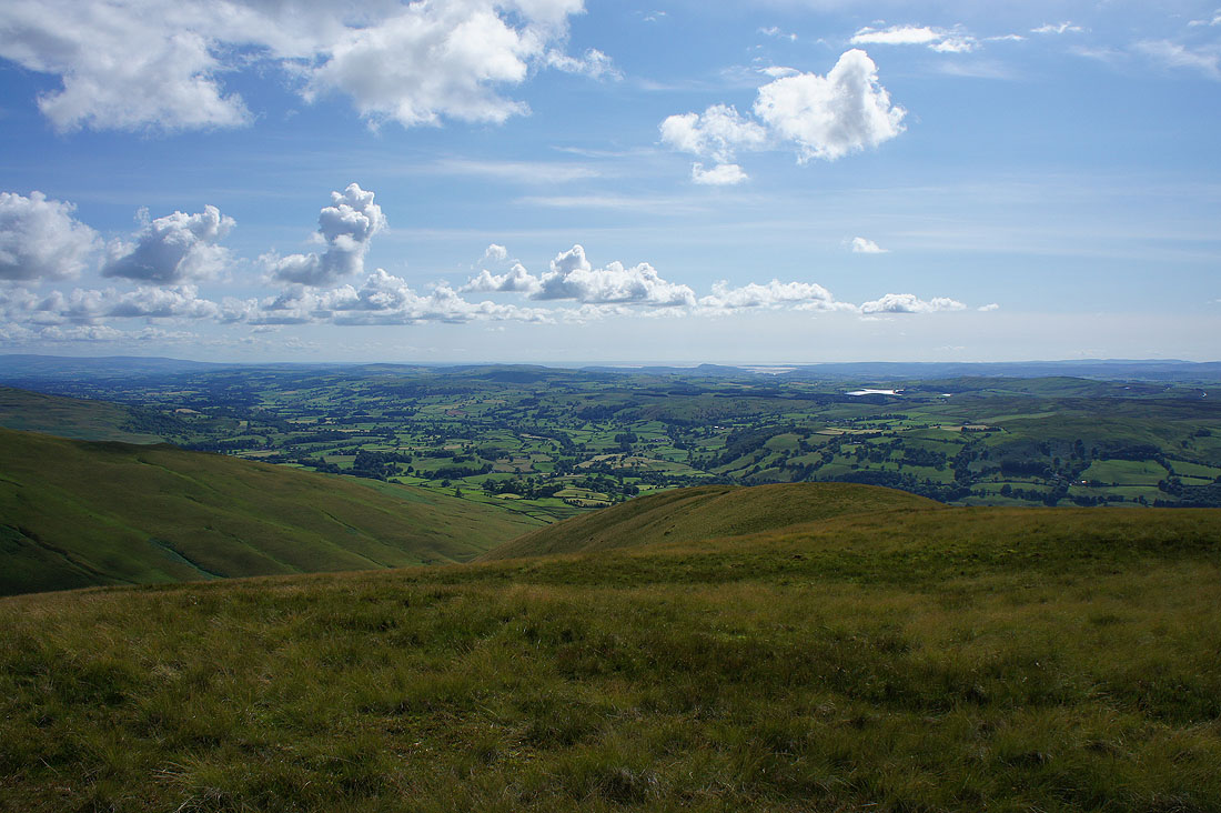
The Lune valley and Morecambe Bay
Looking back up to the summit of Arant Haw

The glorious sight of the Lake District fells in the distance with the Lune valley below
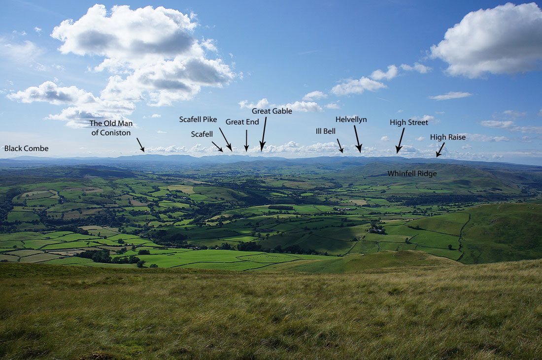
I thought I'd take the trouble to pick out a few of the fells
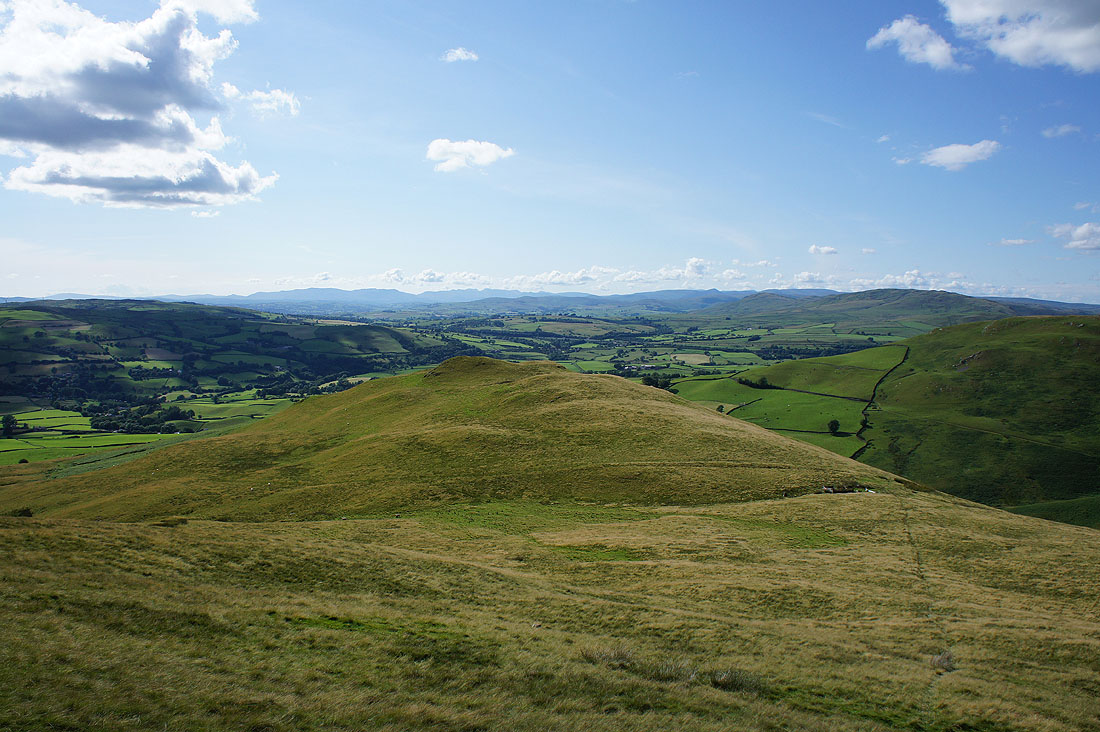
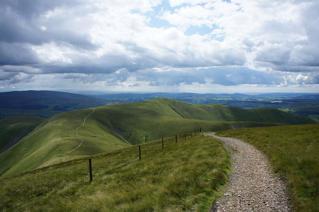
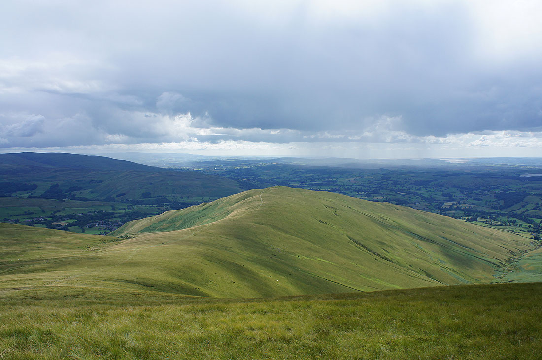
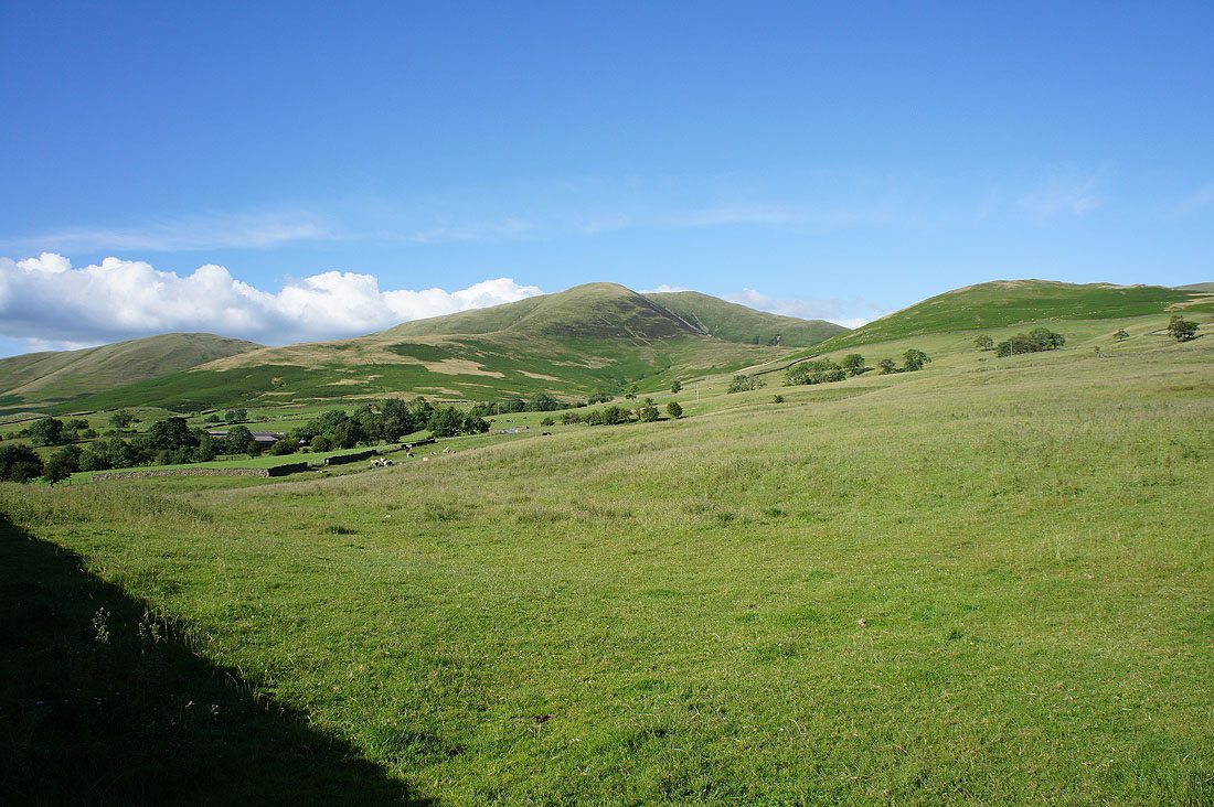
Finally heading down to Seat Knott
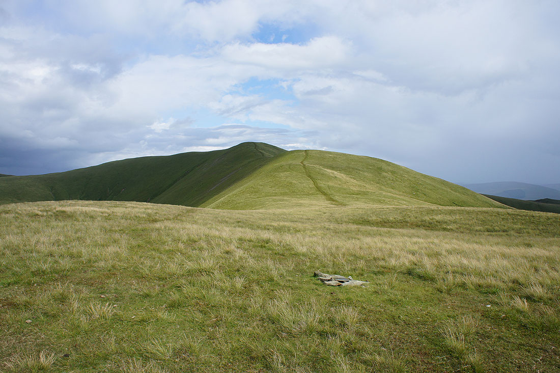
There's an impressive view of Fell Head and White Fell from it
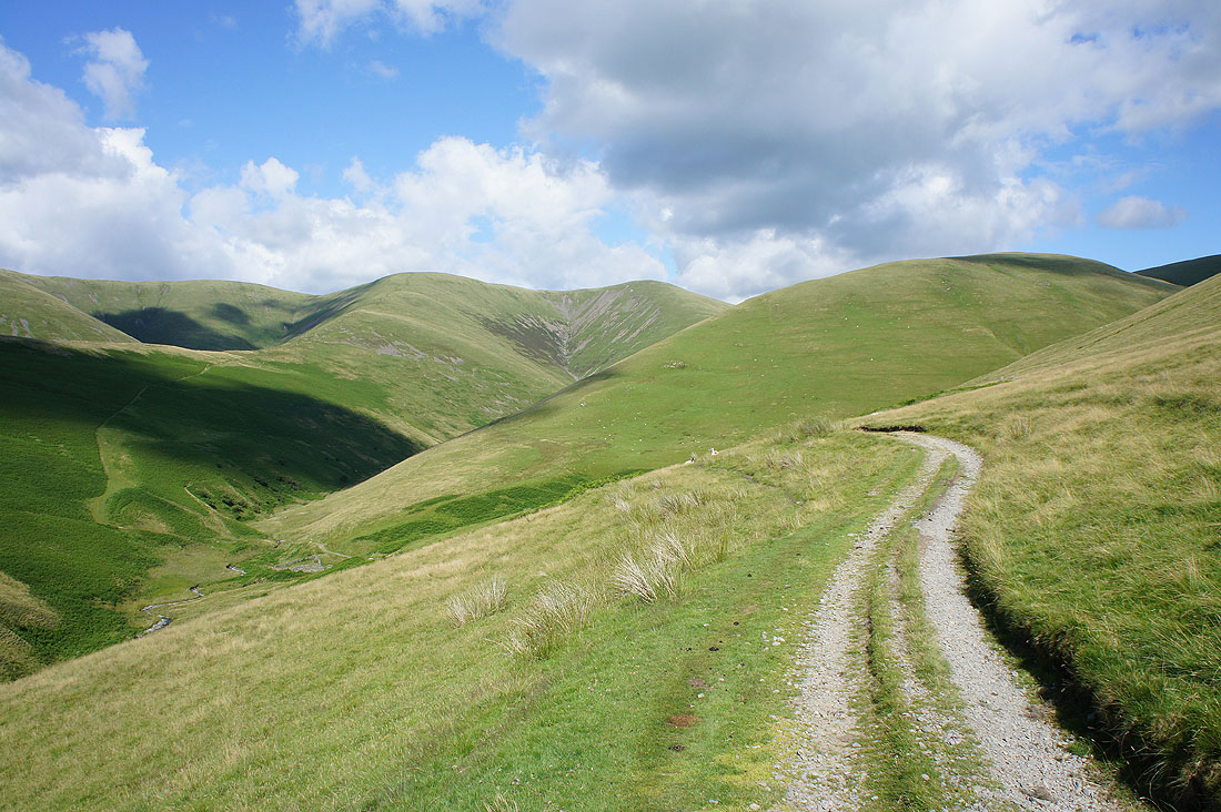
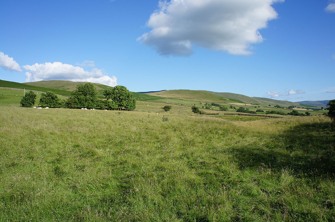
Onto the bridleway that will take me down to and across Bram Rigg Beck
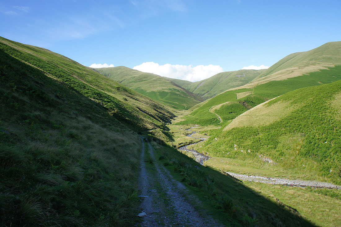
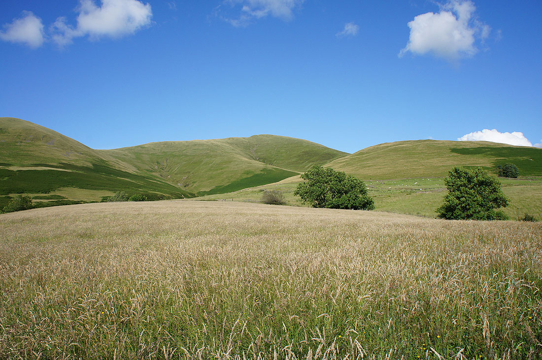
and after crossing Long Rigg Beck a look back into the deep folds of the Howgills
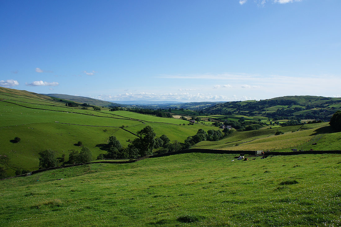
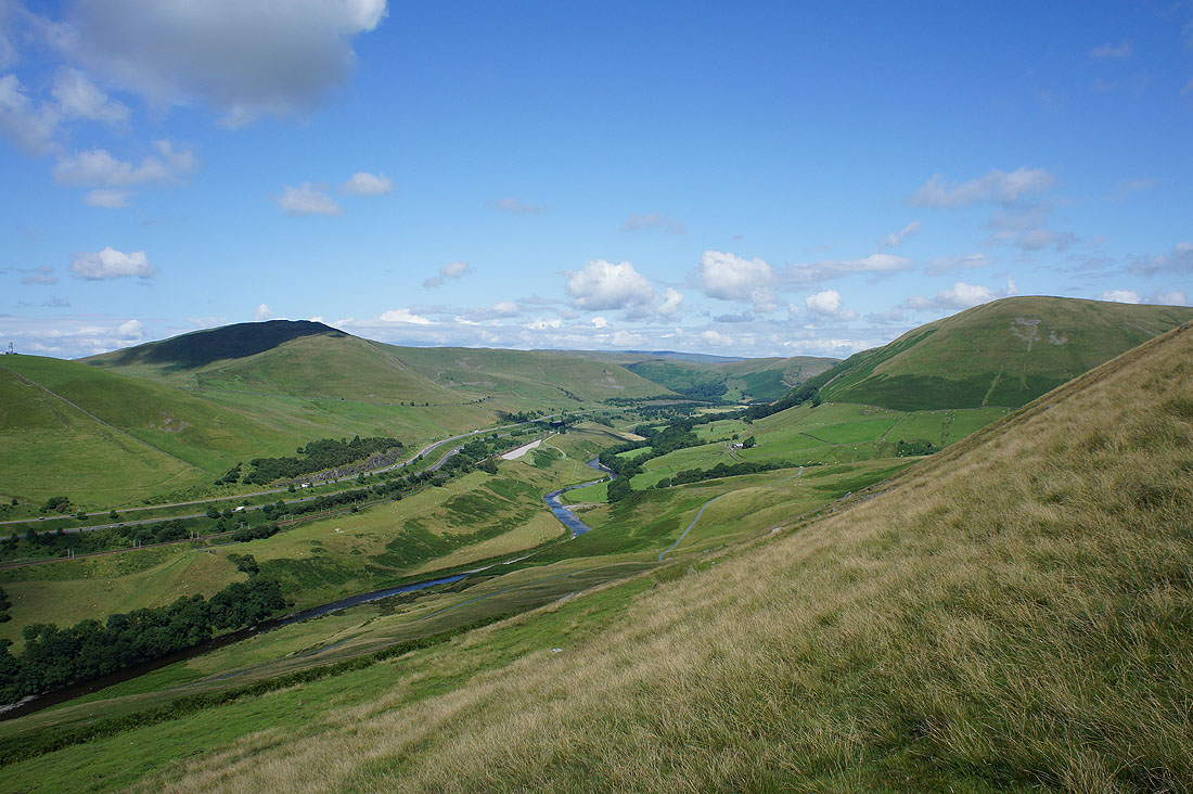
The Lune valley as..
..I follow the bridleway down to Four Lane Ends
The Whinfell ridge and Blease Fell
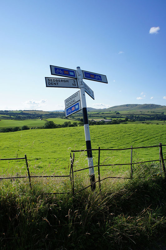
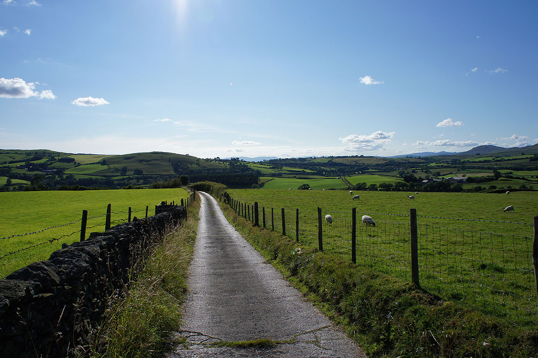
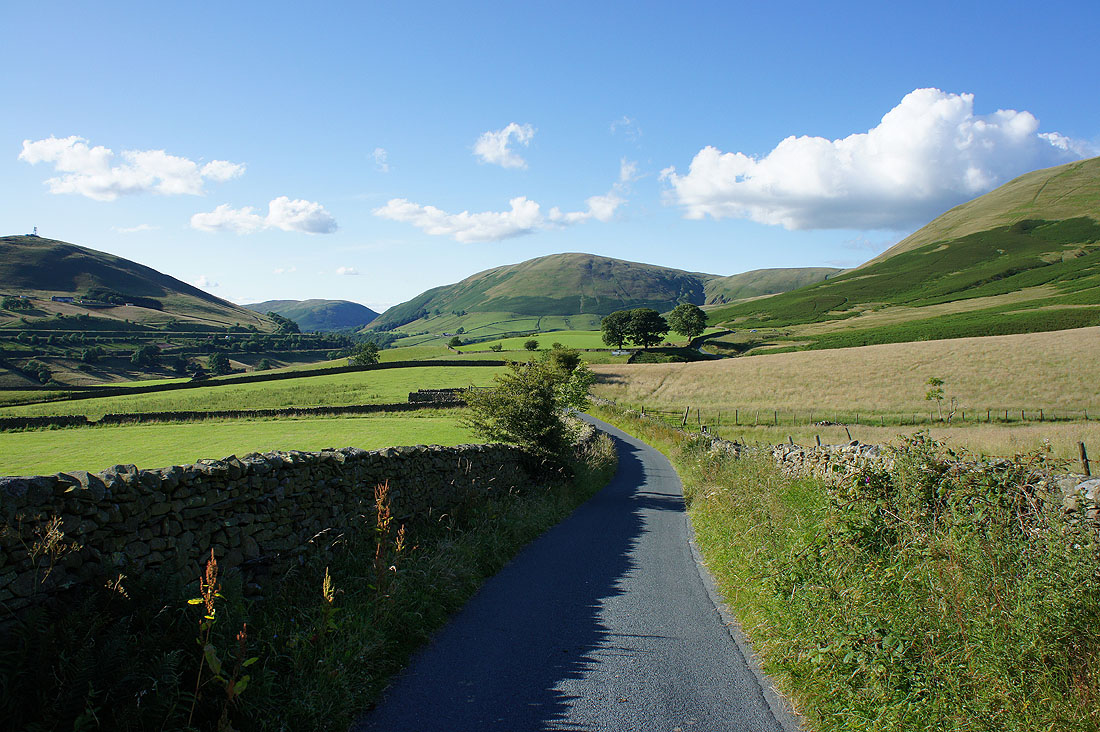
At Four Lane Ends
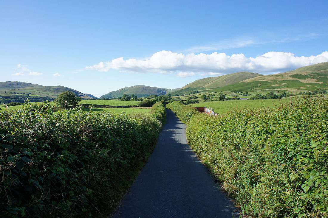
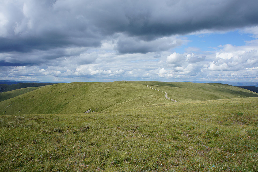
The rest of the walk will take me north along Howgill Lane back to Fairmile Gate
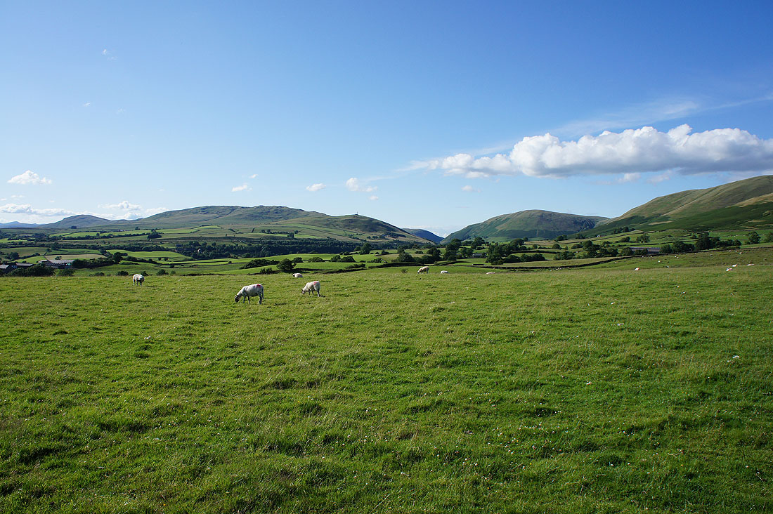
It's a lovely end to the afternoon..
Thank goodness for that. I can see my car, relief is in sight at last. It only took me twenty minutes to walk from Four Lane Ends to Fairmile Gate but it felt a lot longer.
I couldn't resist taking this shot of Fell Head rising up to my right before I finished though