25th July 2021 - Smearsett Scar to Penyghent
Walk Details
Distance walked: 17.4 miles
Total ascent: 3651 ft
OS map used: OL2 - Yorkshire Dales, Southern & Western areas
Time taken: 8.5 hrs
Route description: Stainforth-Pennine Bridleway-Stainforth Bridge-Stainforth Force-Little Stainforth-Dales High Way-Smearsett Scar-Pot Scar-Pennine Bridleway-Dales High Way-Wharfe-Dales High Way-Crummack Dale-Moughton Scars-Sulber Gate-Pennine Bridleway-Sulber Nick-Horton in Ribblesdale-Pennine Way-Penyghent-Pennine Way-Long Lane-Moor Head Lane-Ribble Way-Stainforth
This might well have been the longest walk that I've ever done. I did one from home in March that was 17.0 miles long, and Great Whernside from Middlesmoor in July 2019 was 17.1 miles in length, but neither of those had the amount of ascent that this one did, which makes quite a difference to the amount of exertion required. I'd got it into my head that I was going work out a route to link up Smearsett Scar and Penyghent, which are on opposite sides of Ribblesdale, and this is what I came up with. I'm sure that I could have worked out something shorter than this, but I can't complain about it not making the most of a fine summer's day. However, by the time that I'd made my way down from Penyghent I was more than eager to get back to Stainforth and rest my weary legs. I had mostly cloudy weather for this walk, with a little sunshine every now and then to brighten the day, and a gentle breeze. A pleasant enough summer's day then.
From the car park in Stainforth I crossed the B6479 and took the Pennine Bridleway opposite, which crossed the Settle to Carlisle railway line, then turned right to join the road down to Stainforth Bridge over the River Ribble. After a quick look at Stainforth Force I returned to the road and walked up it to Little Stainforth and a crossroads, which I went straight across and onto the footpath to Feizor at the top of the lane opposite. I then followed this footpath west until I was below Smearsett Scar and I could take a path up to the wall below it, crossed the ladder stile, and then made my way up to the trig point on the top of Smearsett Scar. Once I'd taken in the view I made my way west to Pot Scar, then north to pick up the public footpath west to the Pennine Bridleway on the edge of access land. I was on the Pennine Bridleway only briefly, as I soon left it for the Dales High Way across fields to the lane past the hamlet of Wharfe. I followed the Dales High Way through Wharfe and on into Crummack Dale before leaving it when it goes to cross Austwick Beck, for a footpath up a track to the eastern end of Moughton Scars. After a break for lunch I made my way northwest along Moughton Scars to Thieves Moss and up to Sulber Gate, where I joined the Pennine Bridleway, which I briefly followed north to pick up the Three Peaks path east across Sulber Nick and down to Horton-in-Ribblesdale. I then walked south through Horton until I reached the Pennine Way up Horton Scar Lane, which I followed up to the summit of Penyghent, and after taking in the view, kept on to descend the southern end of Penyghent and reach the track of Long Lane. After walking down Long Lane towards Helwith Bridge I took the track of Moor Head Lane east uphill until I reached the trail of the Ribble Way, which I followed south back to Stainforth.
Route map
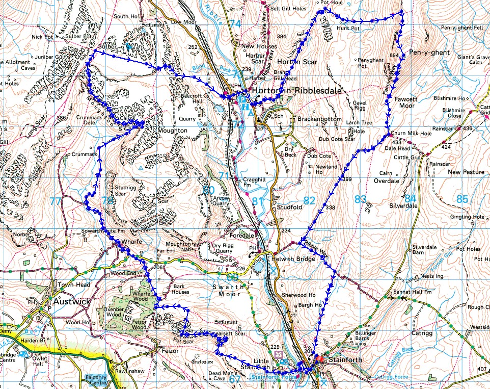
© Crown copyright. All rights reserved. License number PU 100034184.
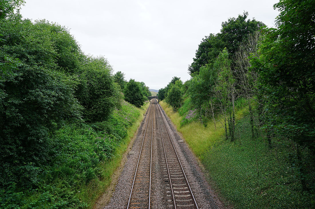
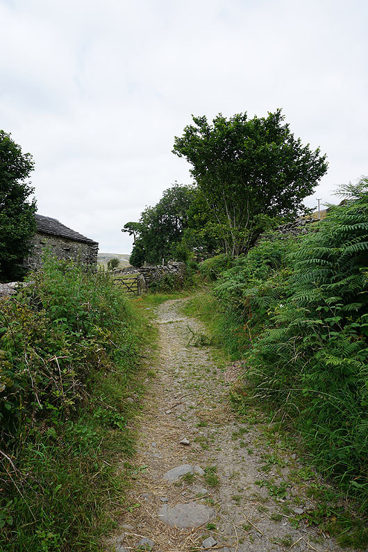
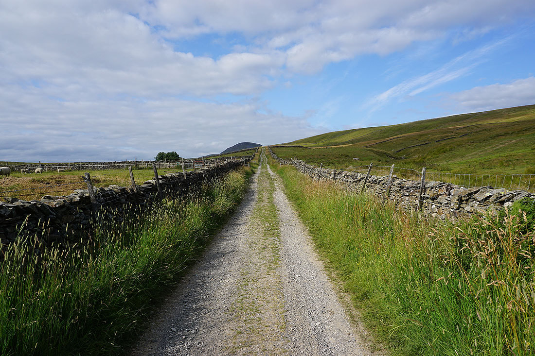
Leaving Stainforth I cross the Settle to Carlisle railway line
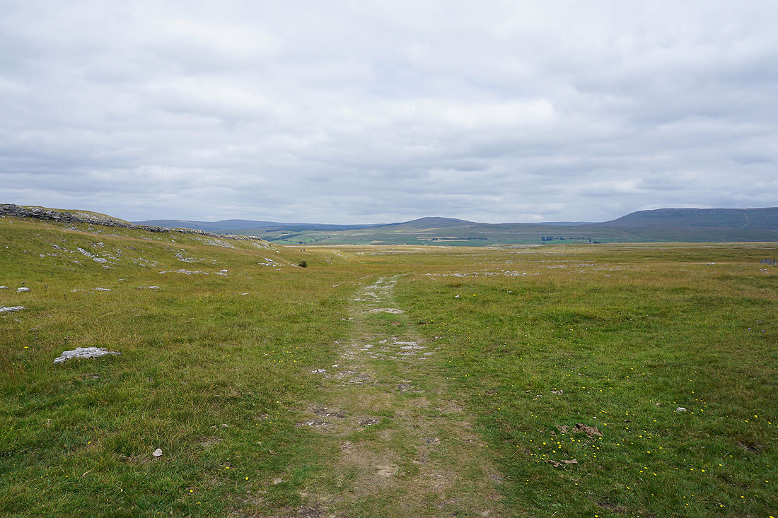
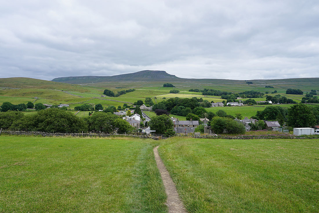
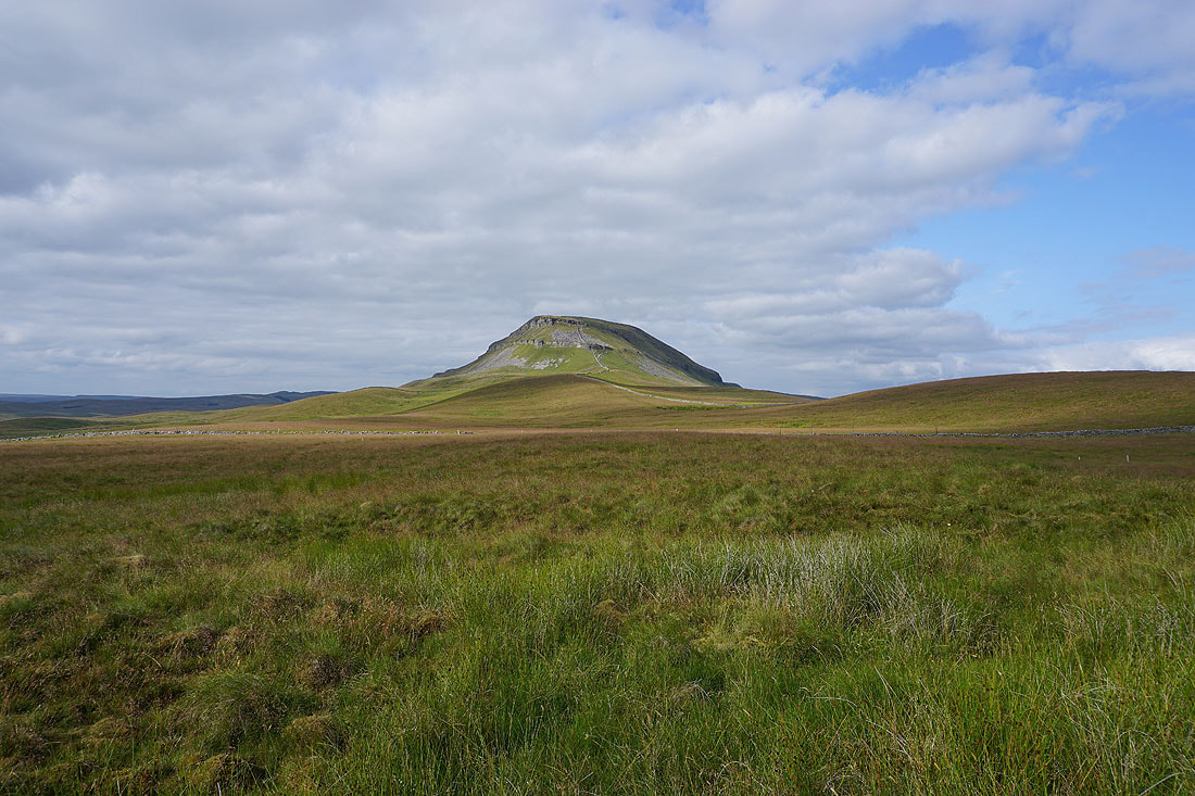
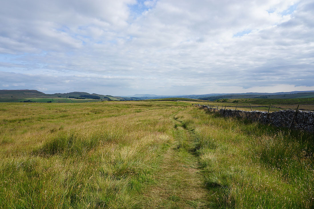
The top of Smearsett Scar appears ahead
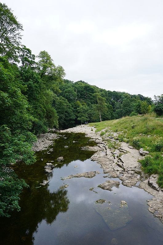
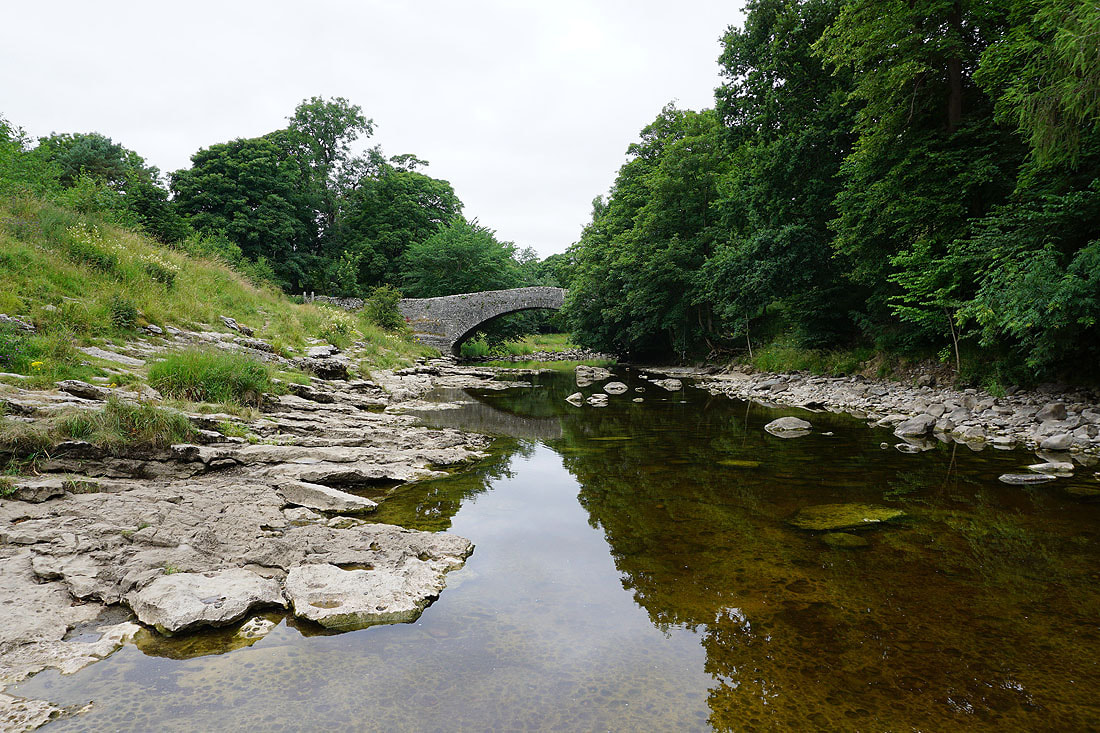
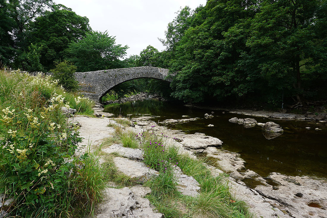
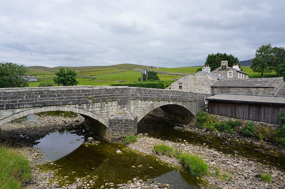
The River Ribble from Stainforth Bridge
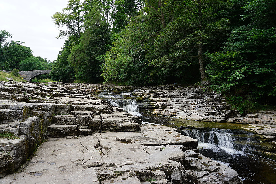
Since I'm passing I'll have a look at the waterfall of Stainforth Force. The river is running pretty low at the moment...
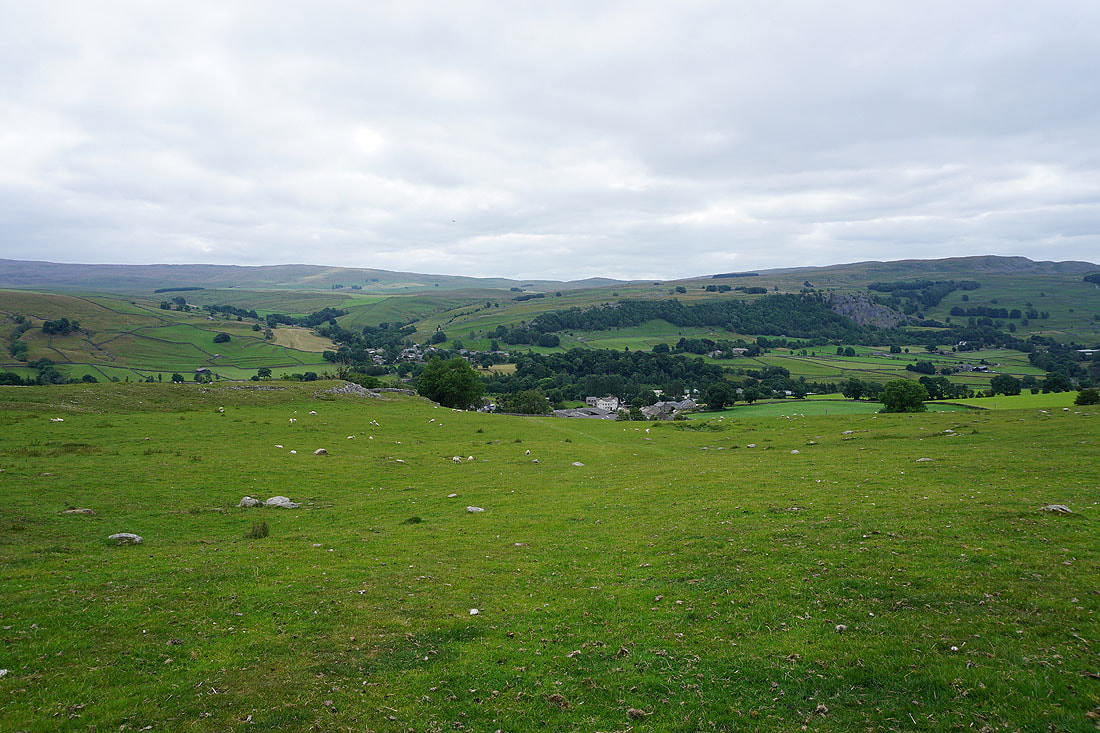
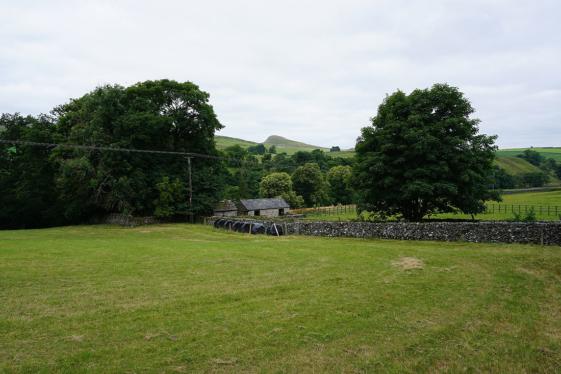
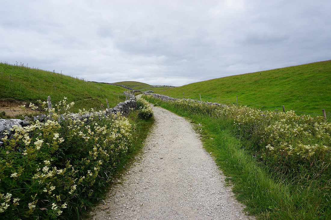
Looking back to Stainforth and Little Stainforth as I take the path to Feizor
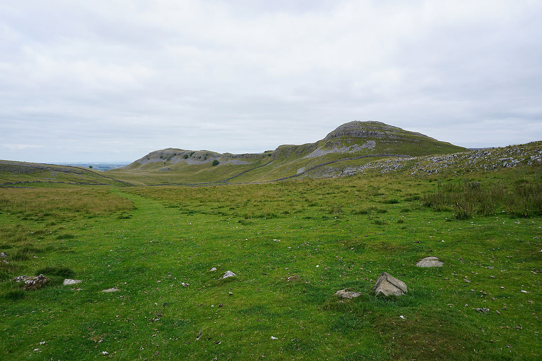
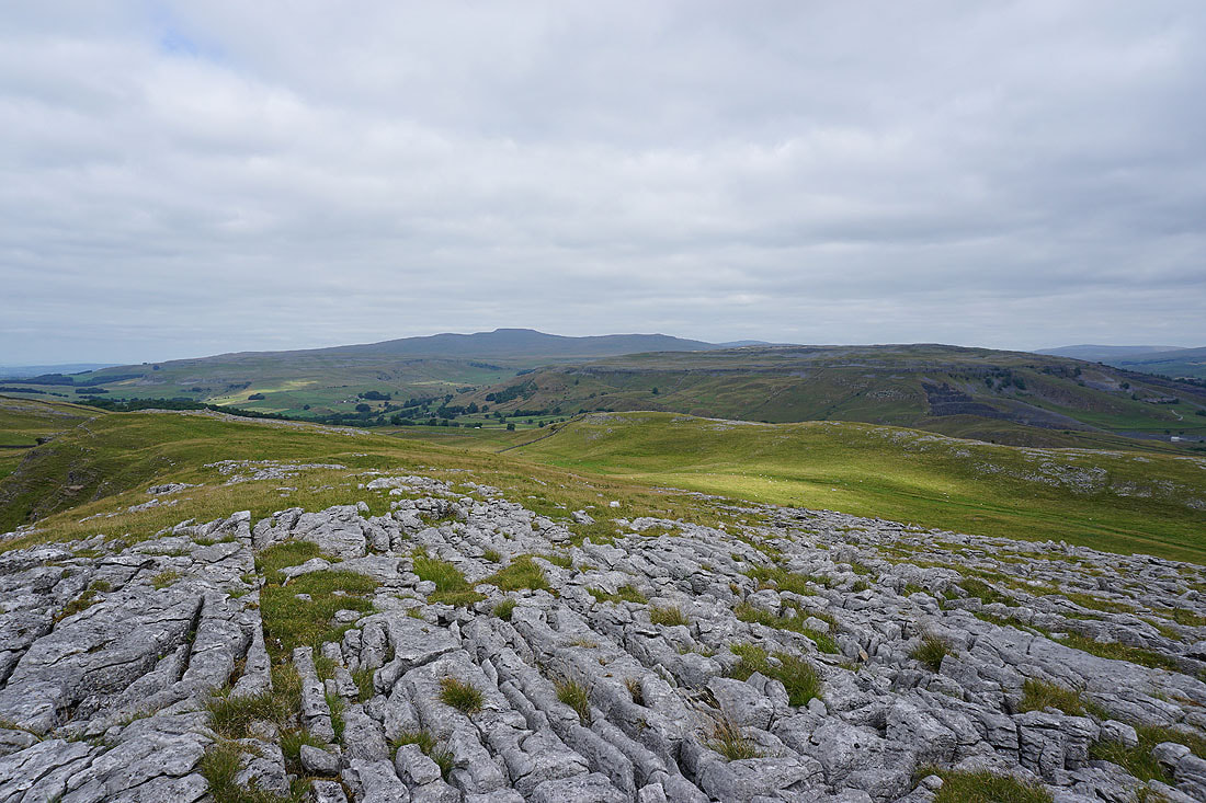
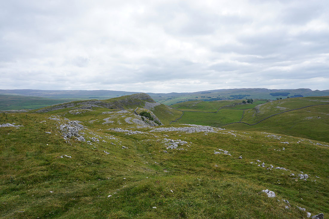
Pot Scar and Smearsett Scar
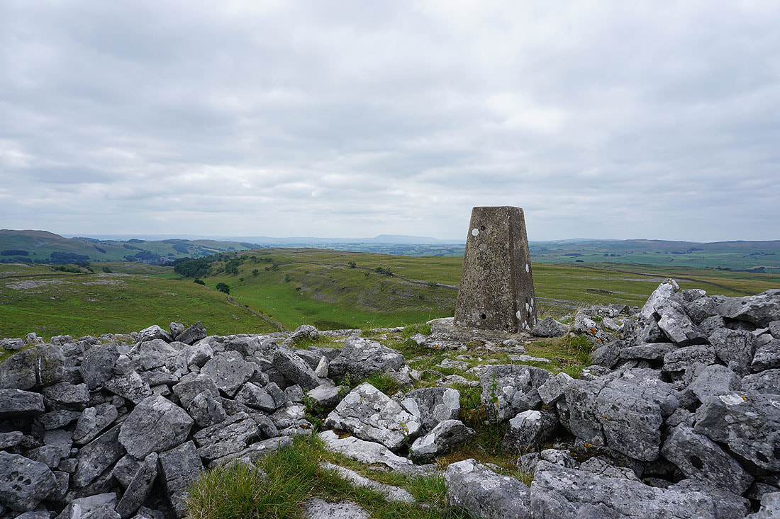
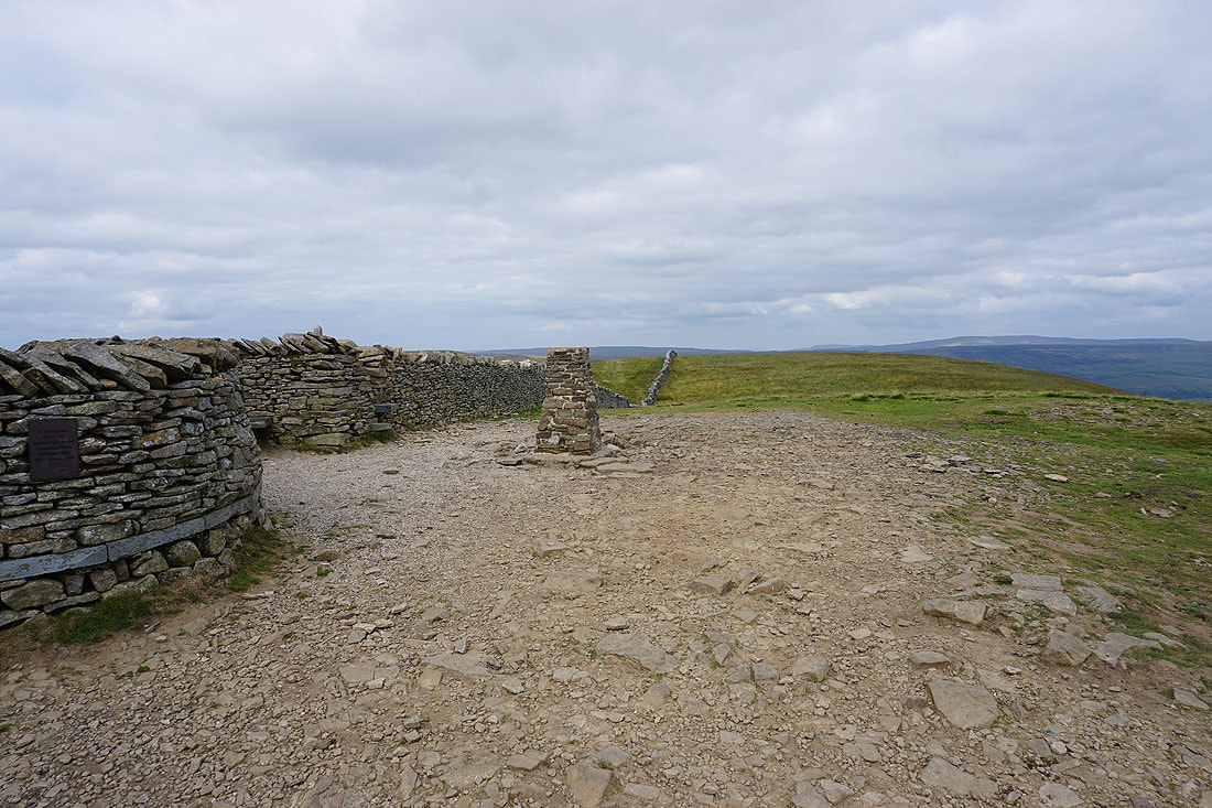
After a short and steep climb I arrive at the trig point on Smearsett Scar. Pendle Hill is in the distance to its left.
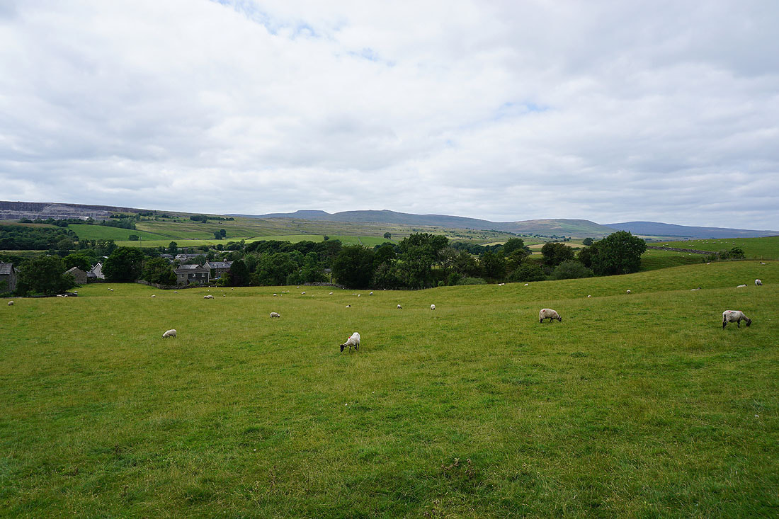
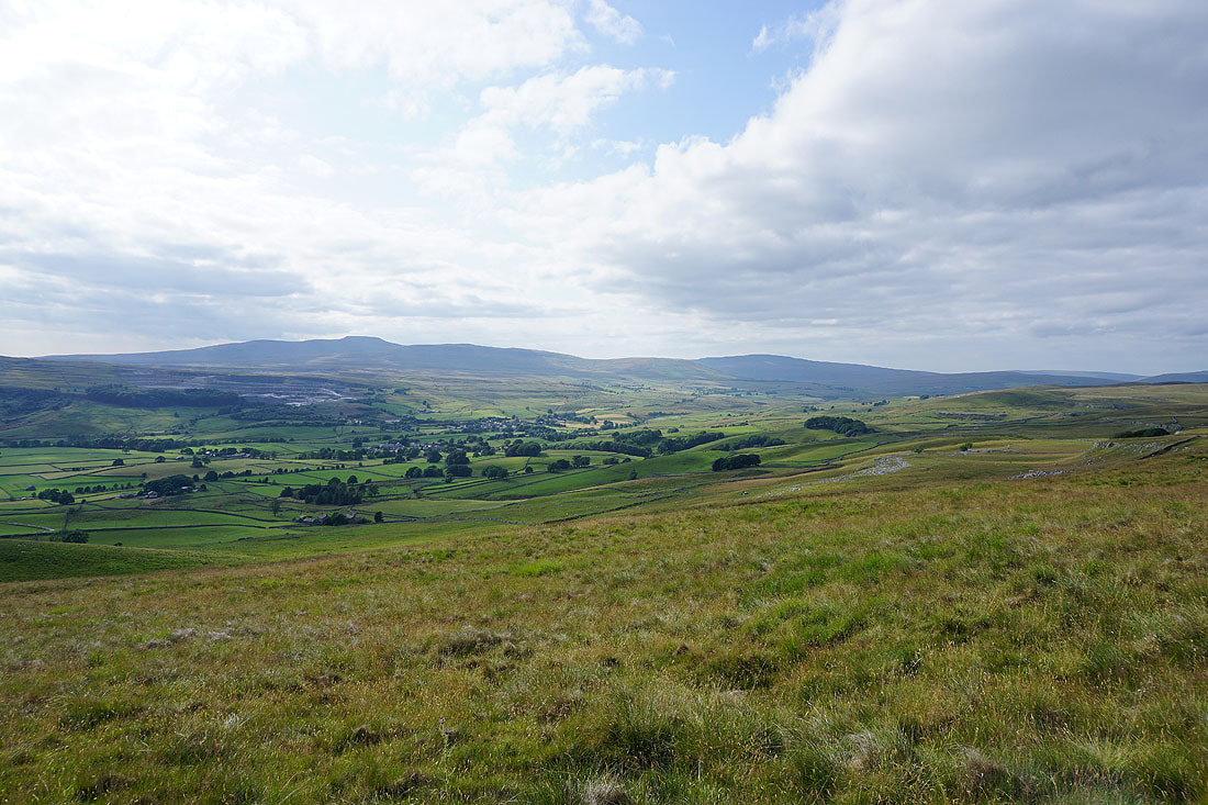
Looking across Ribblesdale to Stainforth
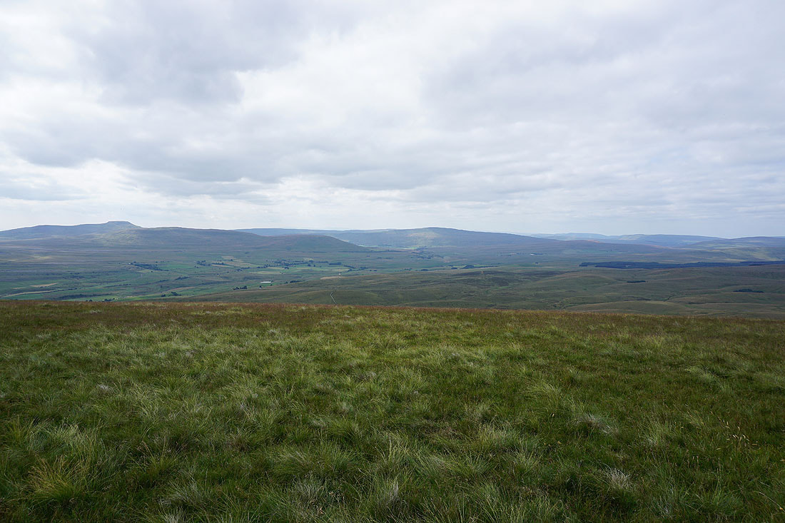
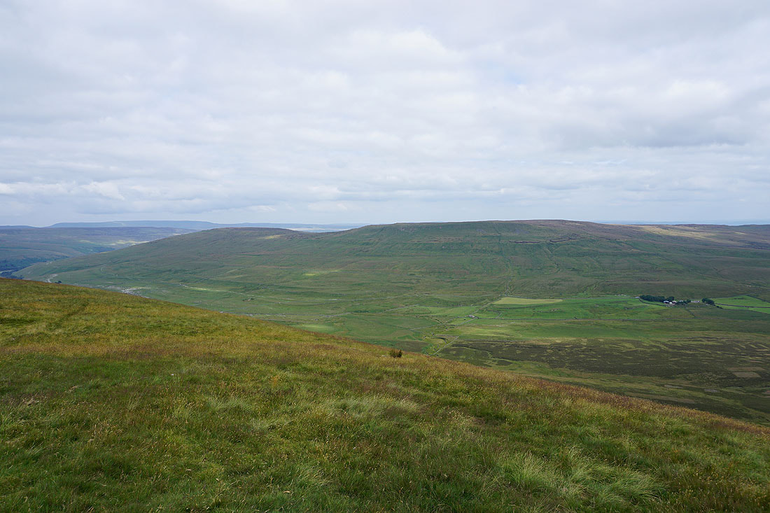
Penyghent and Fountains Fell
Crummack Dale, Ingleborough and Moughton
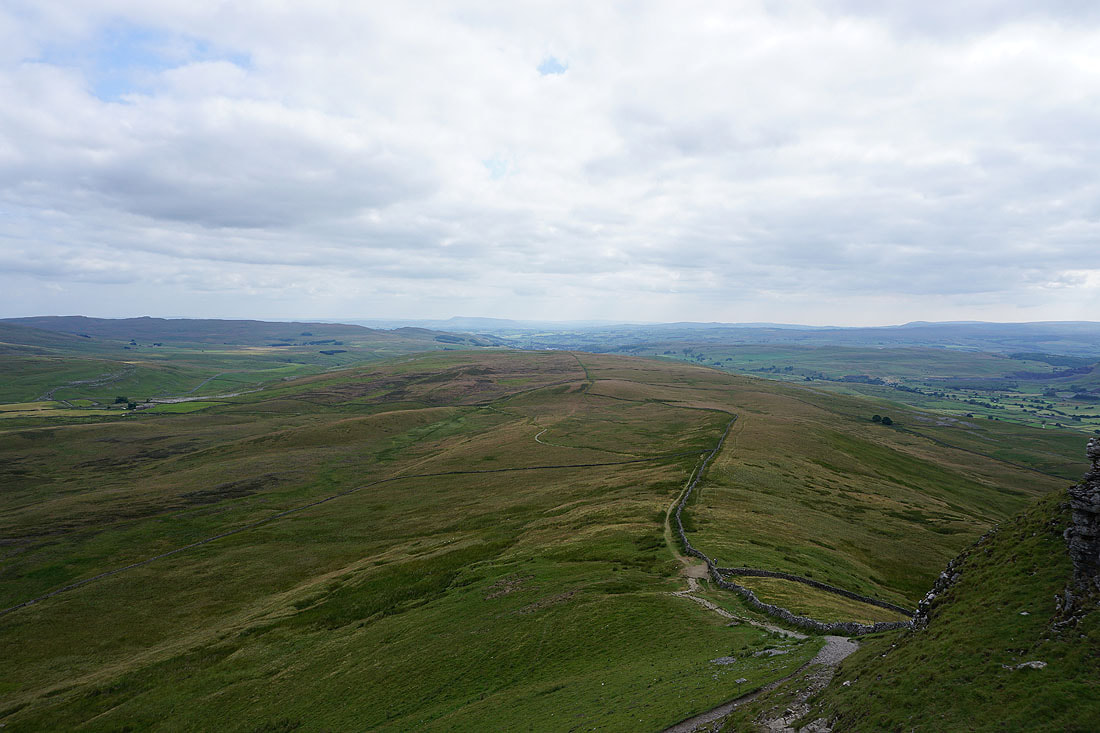
Looking west to Pot Scar
As I make my way across to Pot Scar I can see the hamlet of Feizor below
Crummack Dale, Ingleborough and Moughton from Pot Scar
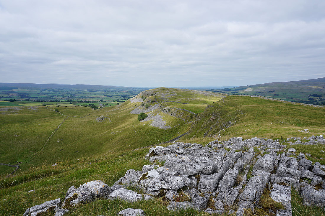
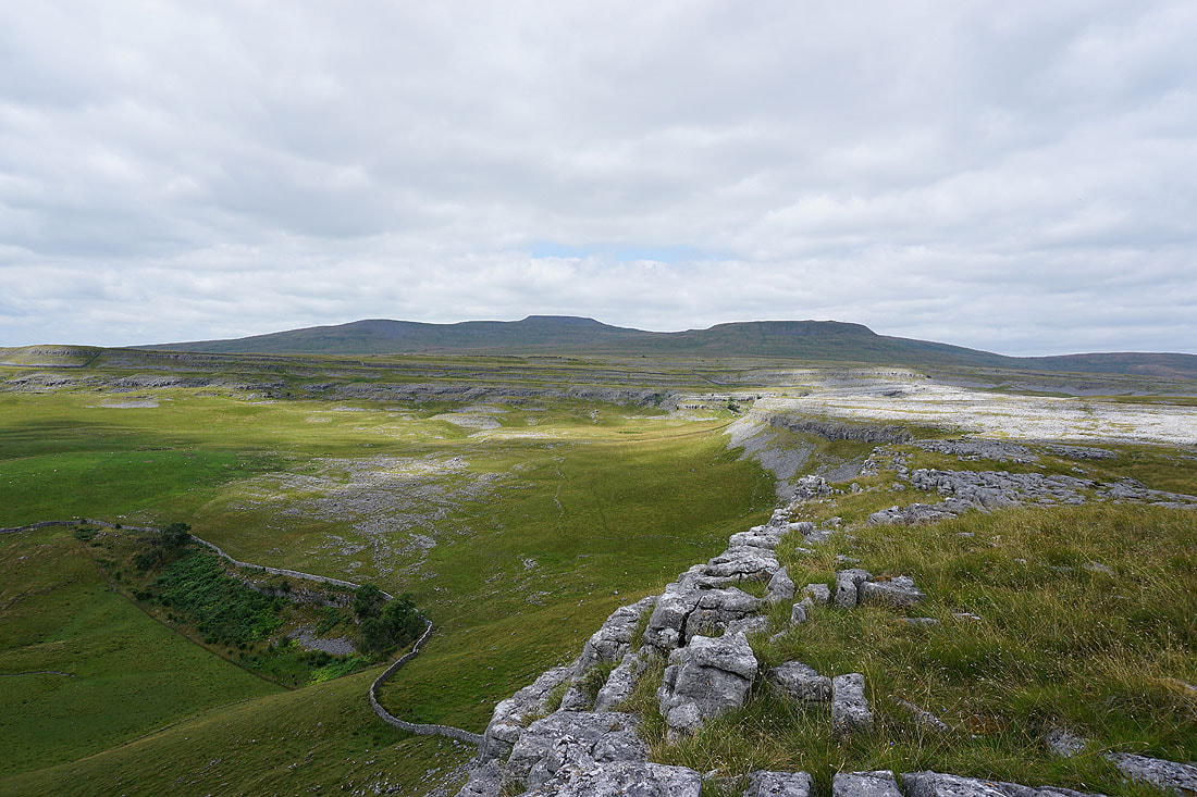
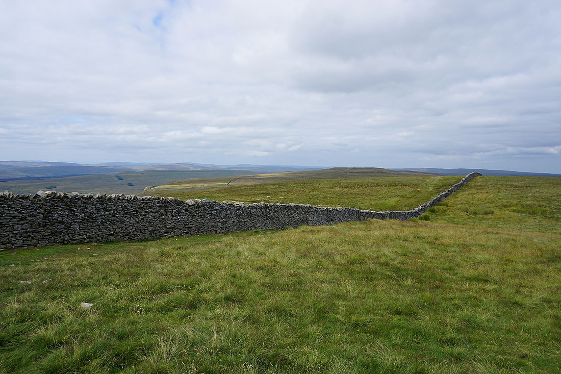
Looking back to Smearsett Scar
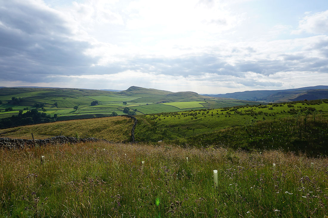
Moughton Nab and Penyghent as I briefly join the Pennine Bridleway from leaving Pot Scar
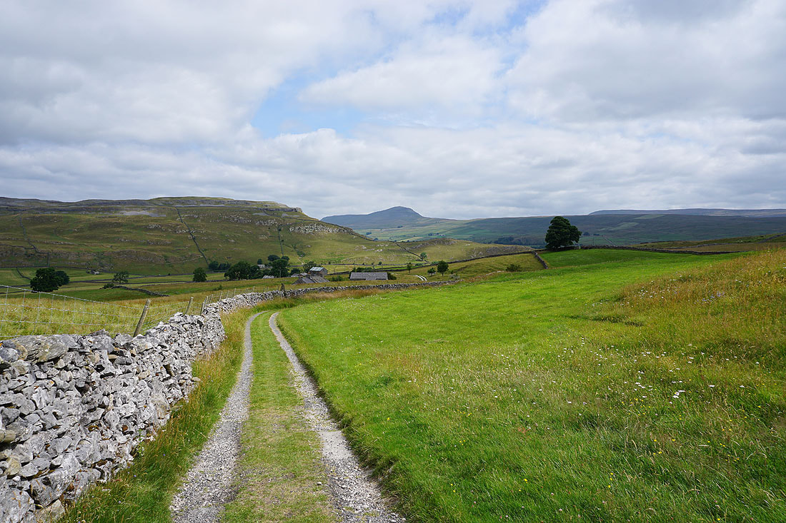
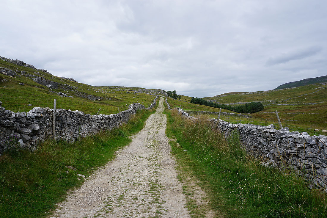
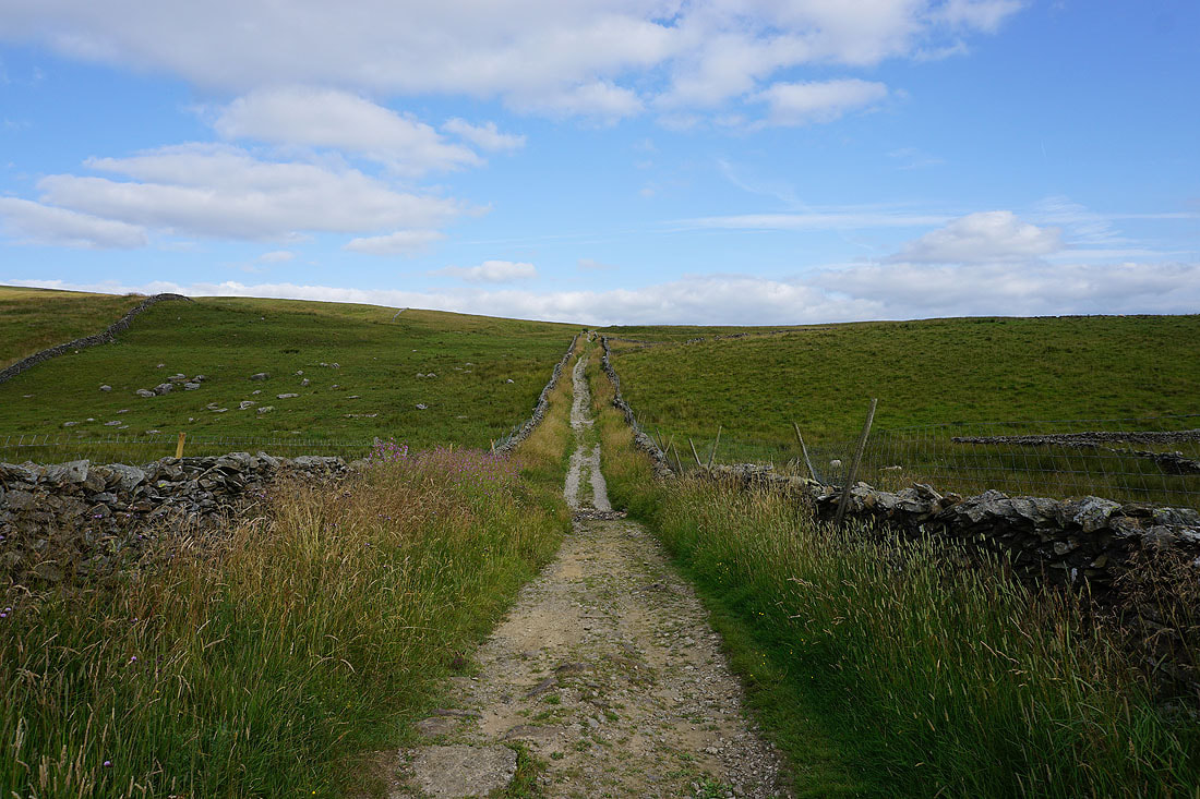
I'm not on it for long though as I take the Dales High Way trail to the hamlet of Wharfe and then on to Crummack Dale....
The Dales High Way crosses Austwick Beck but I leave it and follow the footpath up to a break in the limestone crags on the eastern side of Crummack Dale..
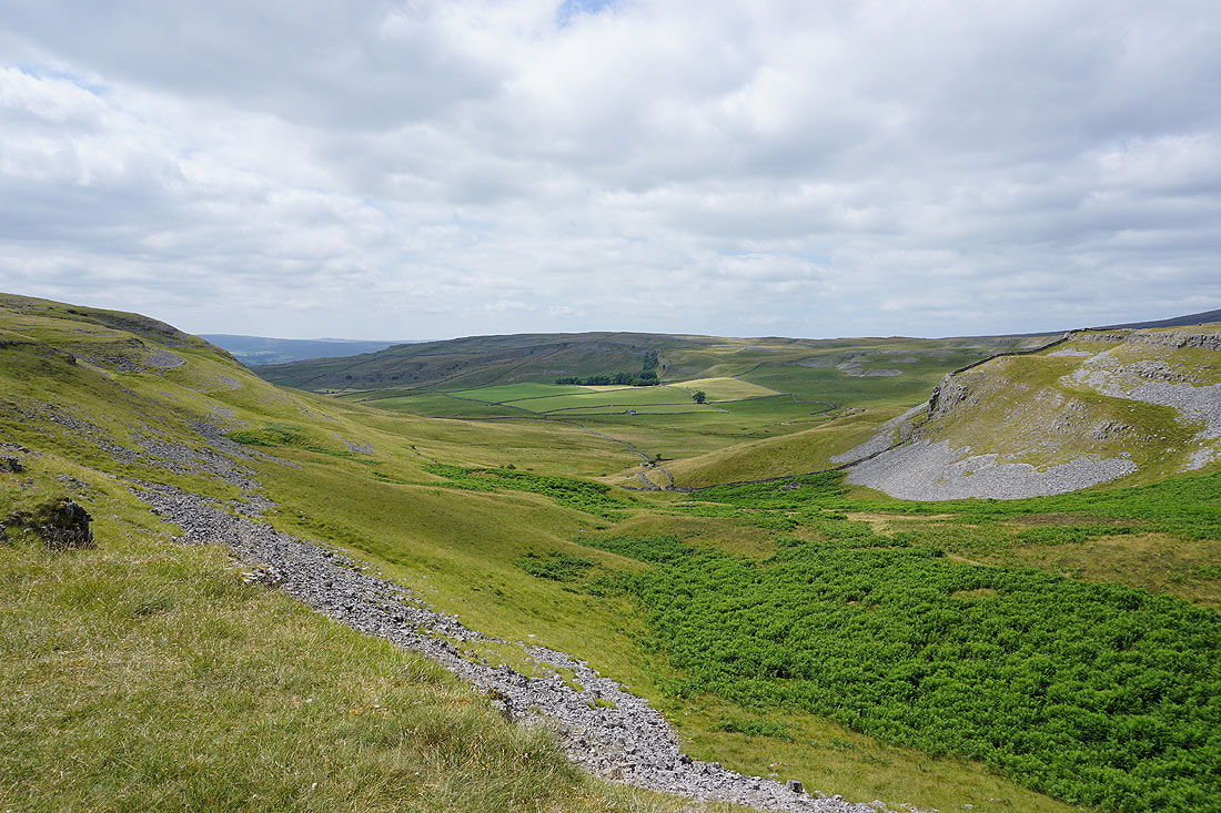
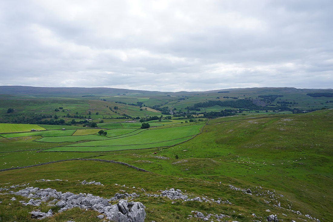
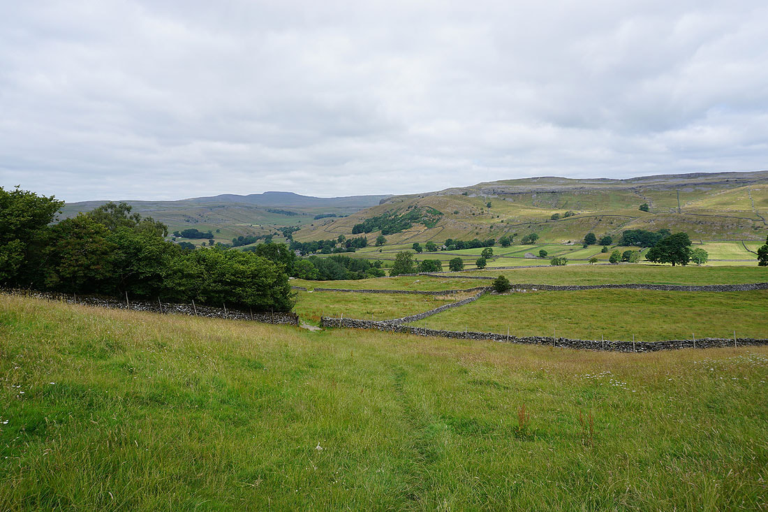
Looking back down Crummack Dale
Ingleborough and Simon Fell above Moughton Scars as I reach the top of the path
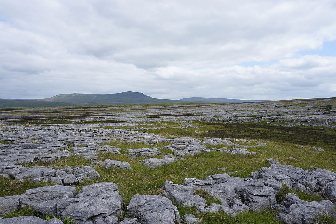
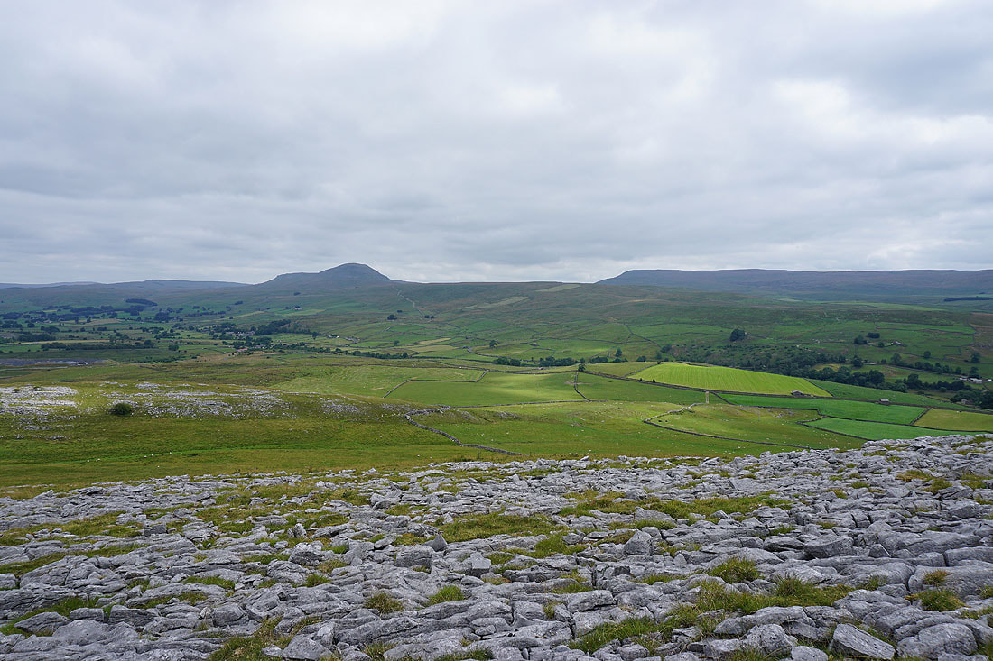
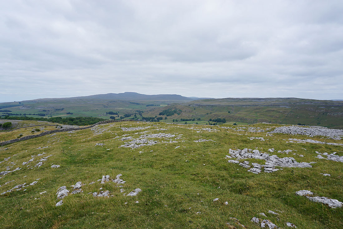
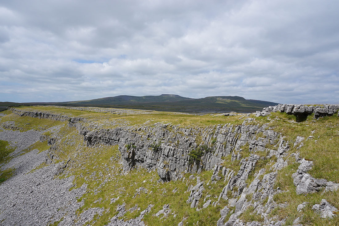
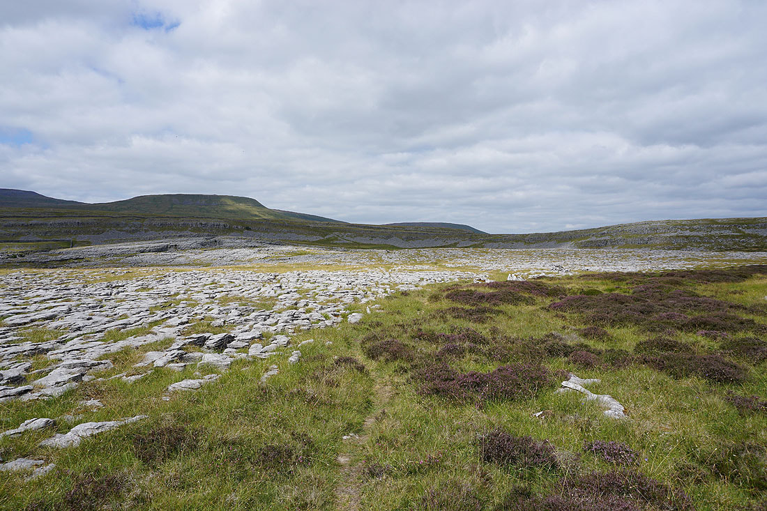
Looking across the extensive limestone pavement of Moughton to Penyghent and Fountains Fell
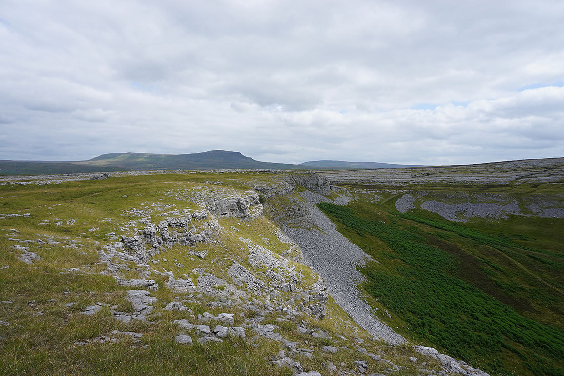
Penyghent and Fountains Fell from Moughton Scars
As well as Ingleborough and Simon Fell above the head of Crummack Dale
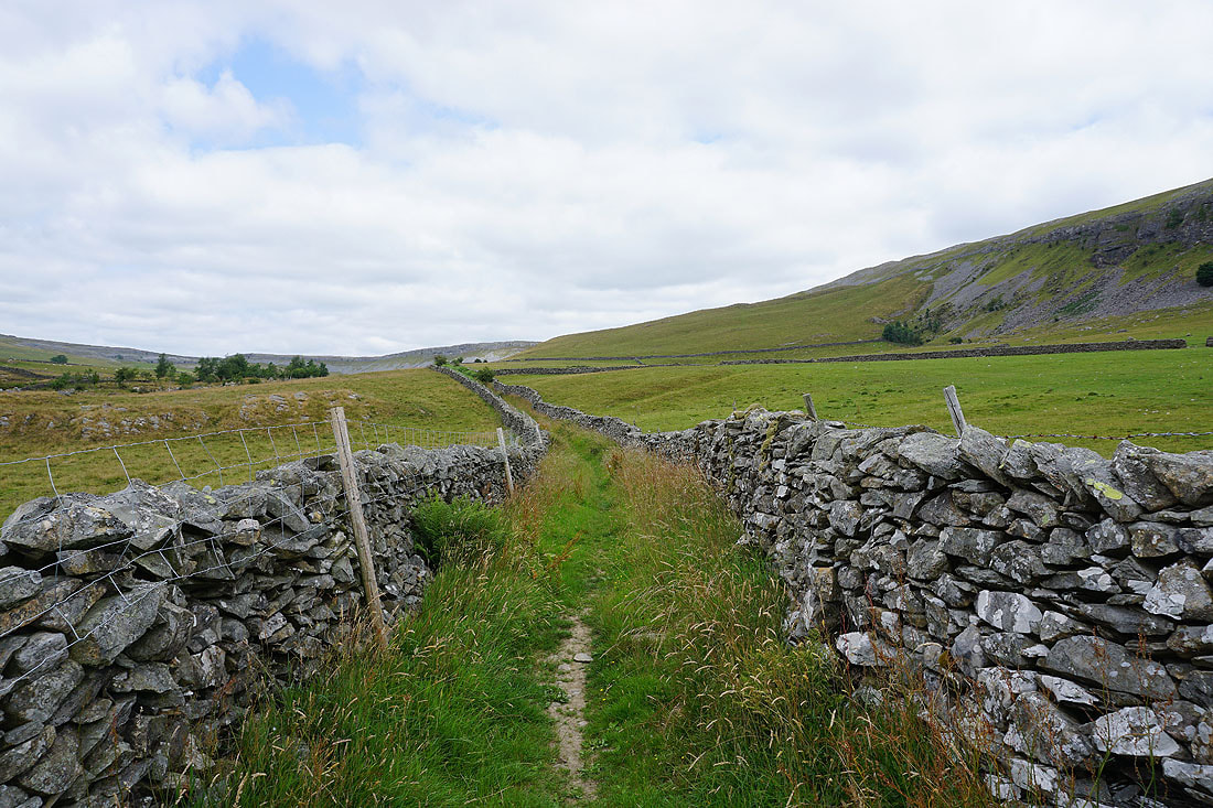
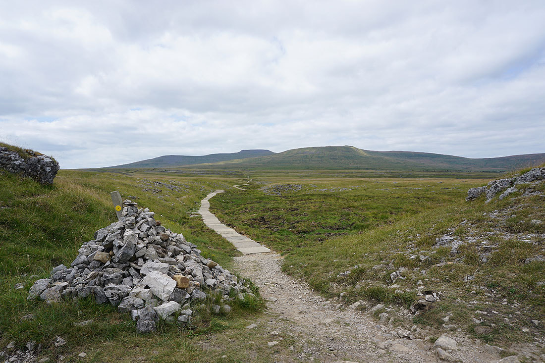
A sketchy path to follow through the limestone pavement to Sulber Gate
Penyghent and Fountains Fell above Thieves Moss as I reach Sulber Gate
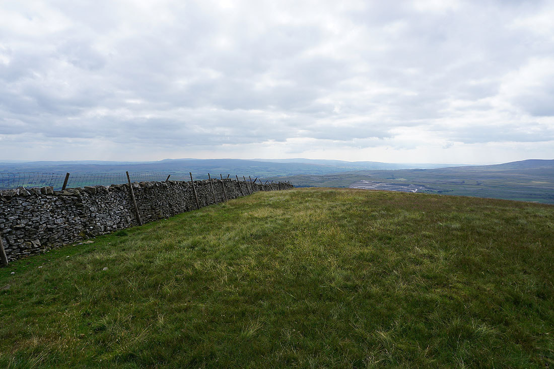
Looking down Crummack Dale to Pendle Hill in the distance
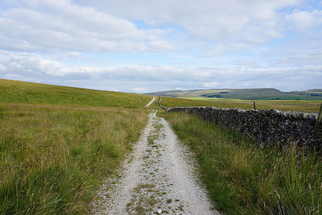
From Sulber Gate I head north on the Pennine Bridleway
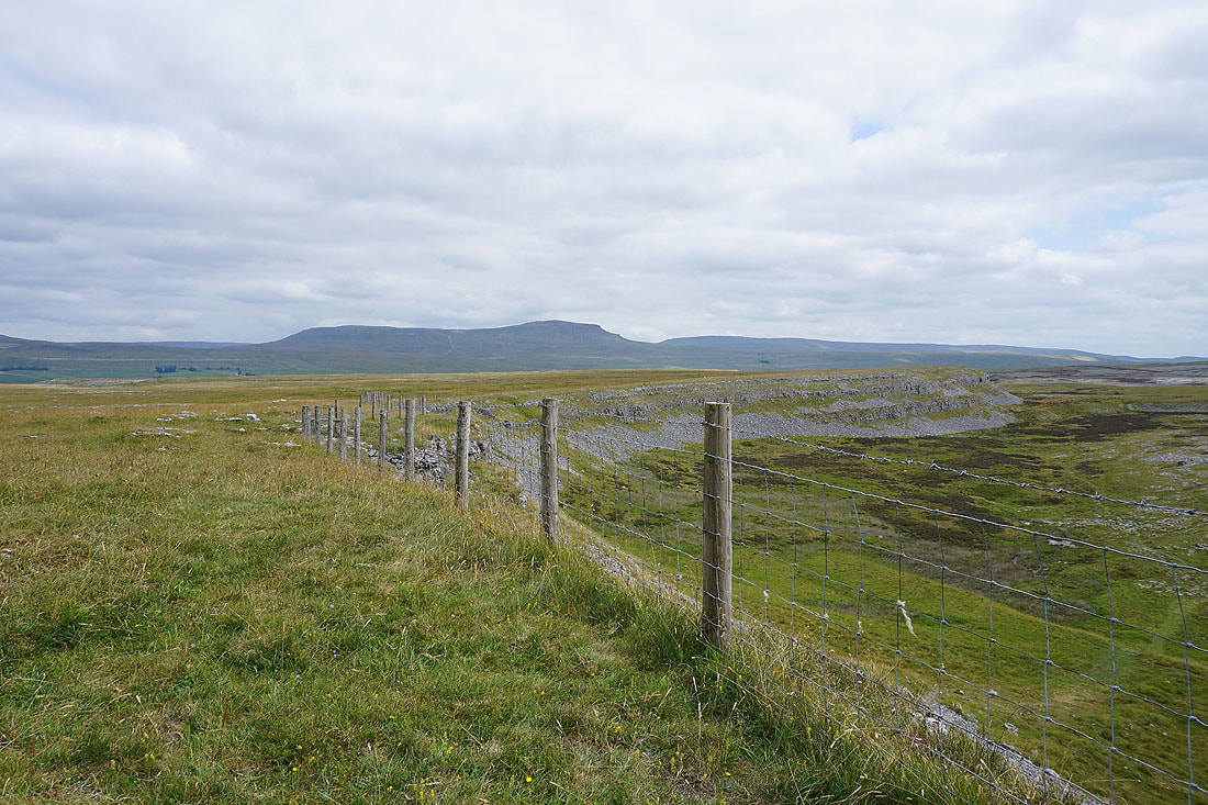
To my right there's a great view of Penyghent and Fountains Fell above the limestone crags around Thieves Moss
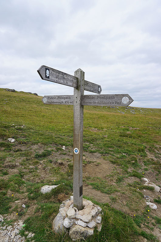
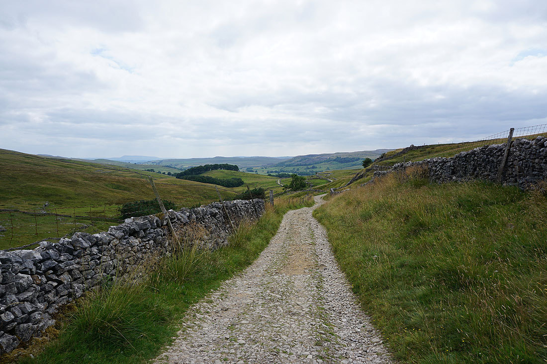
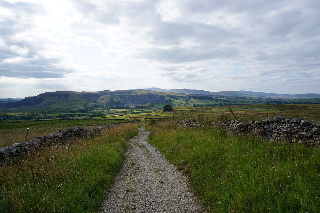
I leave the Pennine Bridleway and take the path to Horton
Looking back to Ingleborough and Simon Fell
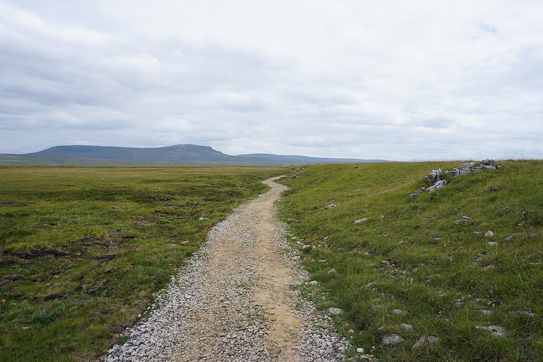
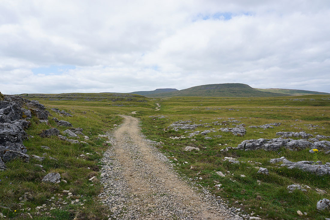
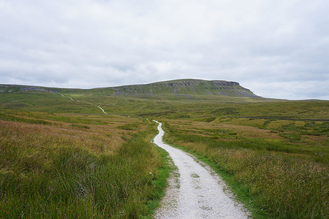
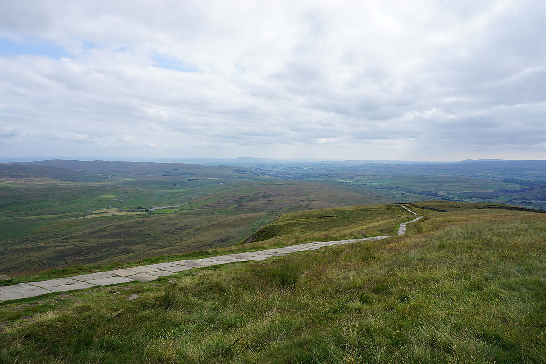
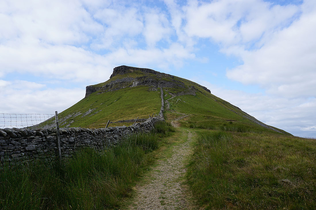
Penyghent ahead of me. This path is part of the three peaks route and has recently undergone improvement.
Looking back along the path through Sulber Nick to Ingleborough and Simon Fell
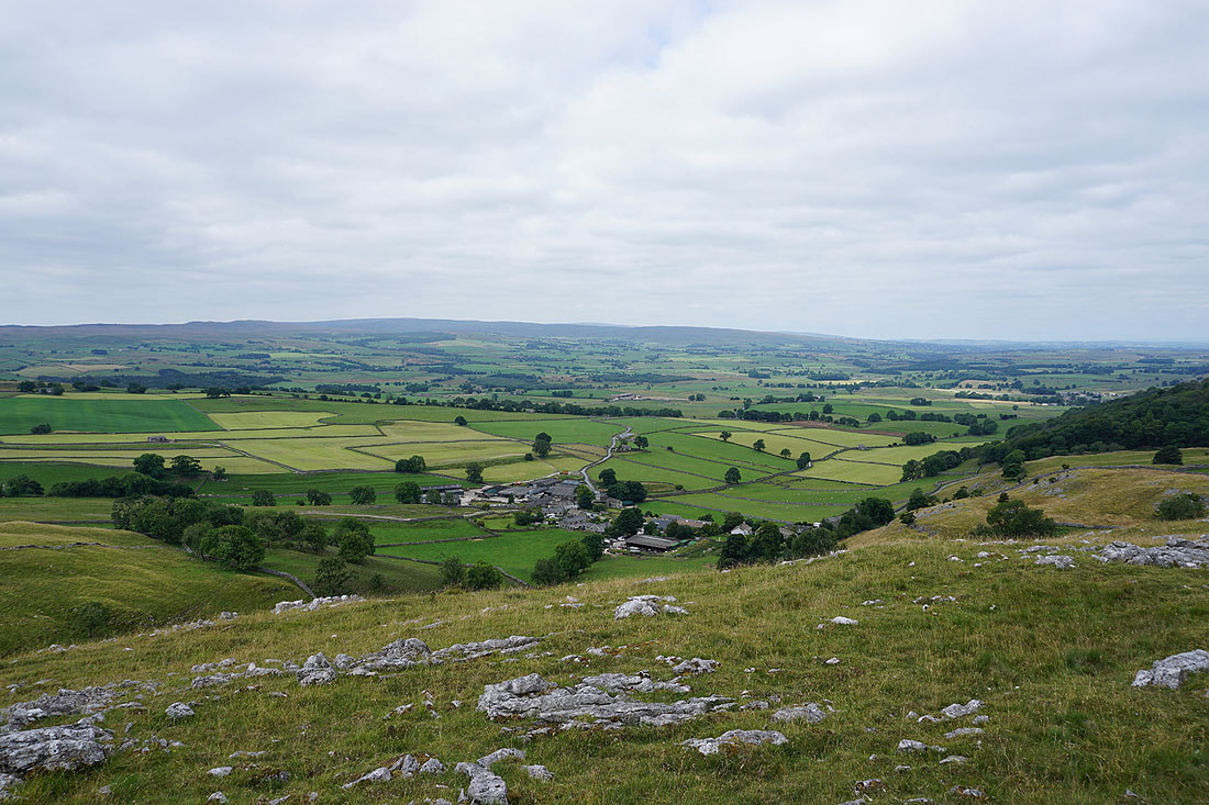
Heading down to Horton-in-Ribblesdale
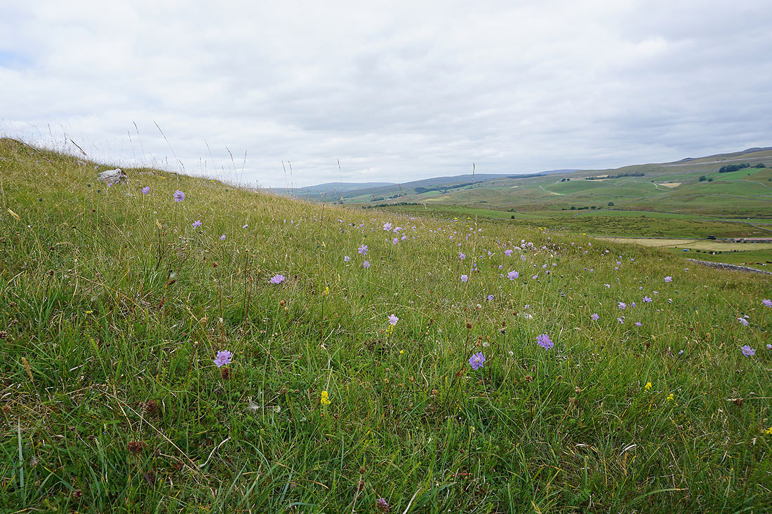
A hillside covered in Field Scabious
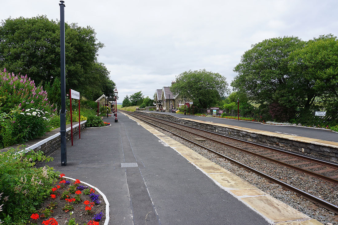
Down to and through Horton-in-Ribblesdale station on the Settle to Carlisle line..
The main road through Horton crosses a low River Ribble
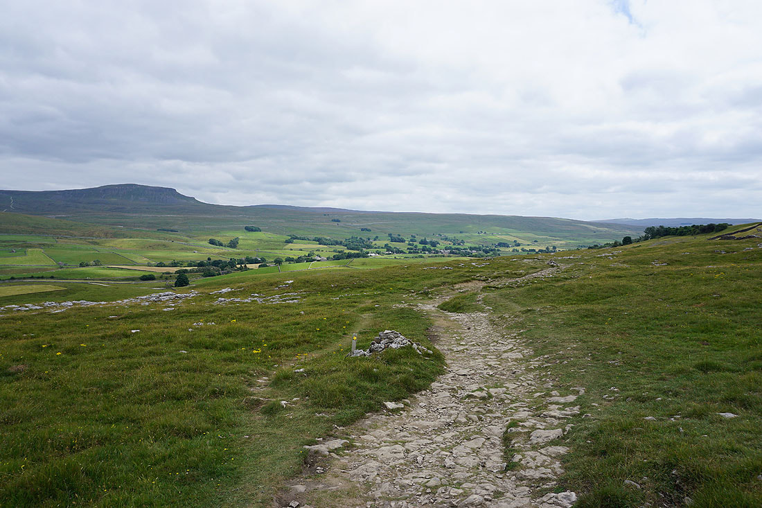
Ingleborough, Simon Fell, Park Fell and Whernside in the distance as I leave Horton on the Pennine Way
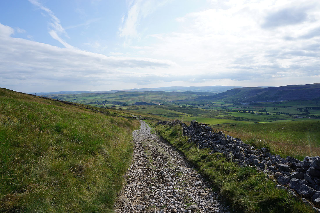
Heading up Horton Scar Lane on the Pennine Way..
Looking back down Horton Scar Lane with Pendle Hill in the distance on the left
|
|
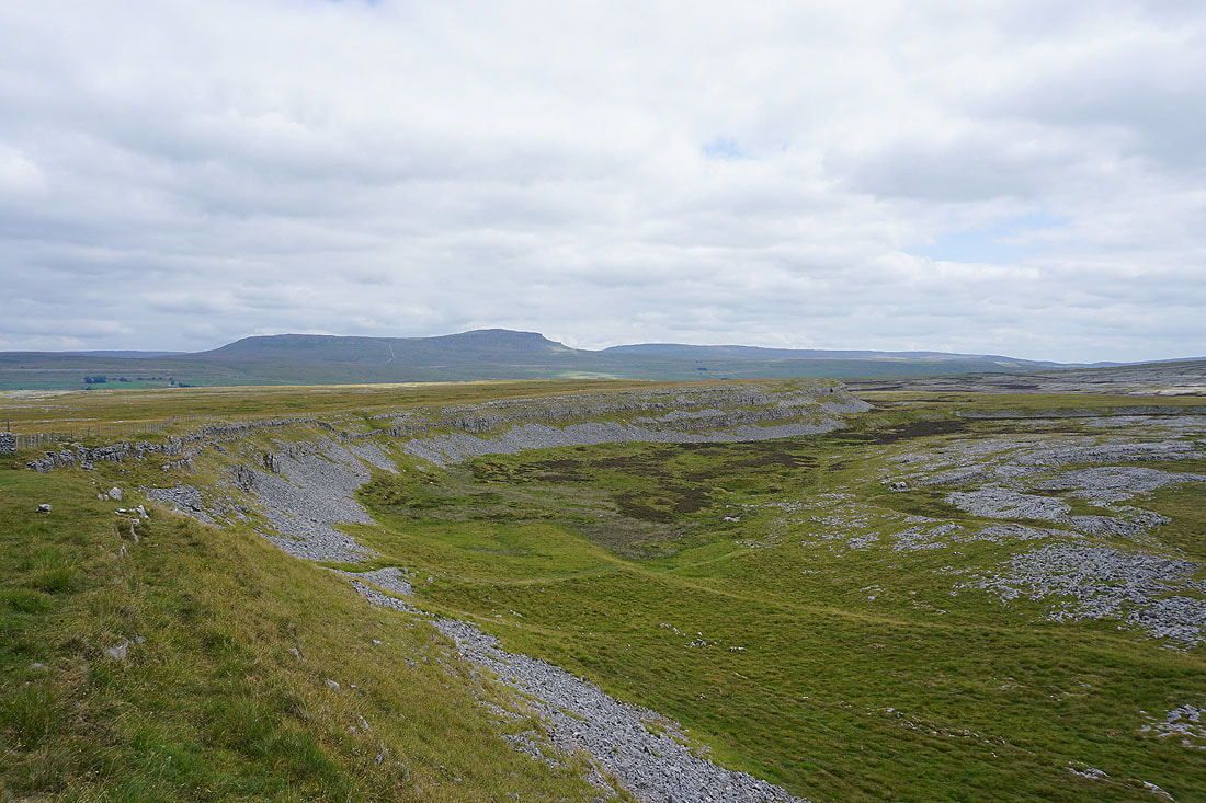
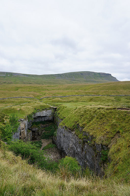
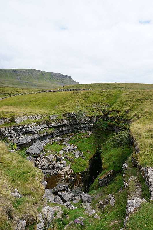
A couple of big holes in the ground. Hull Pot and Hunt Pot.
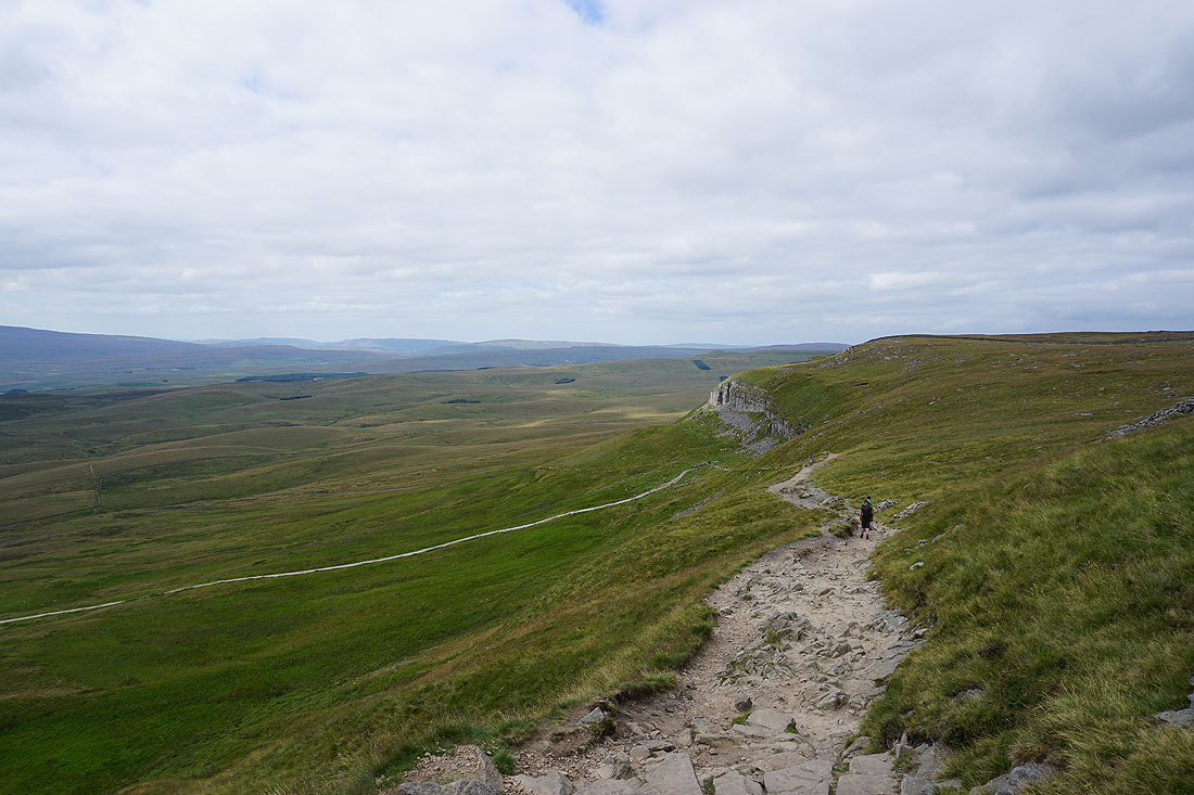
On the Pennine Way up Penyghent
Looking back across Ribblesdale to Ingleborough
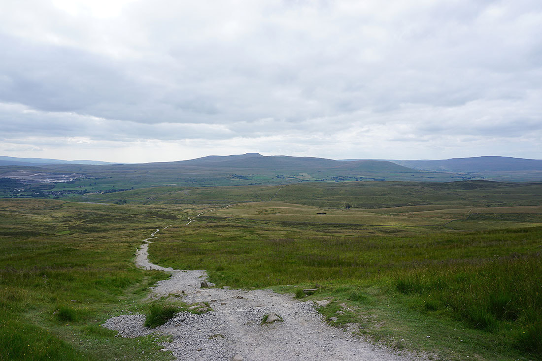
and along the Pennine Way to Baugh Fell, Great Knoutberry Hill and Cam Fell in the distance
At the trig point on the summit of Penyghent, and at 1630 in the afternoon it's pretty quiet
Views from the summit of Penyghent. Looking southwest to the Forest of Bowland.
Ingleborough, Simon Fell, Park Fell, Whernside, the Howgills, and Baugh Fell to the west and northwest
Looking north to Dodd Fell Hill and Plover Hill
Darnbrook Fell and Fountains Fell
Finally, looking south down Ribblesdale to a distant Pendle Hill
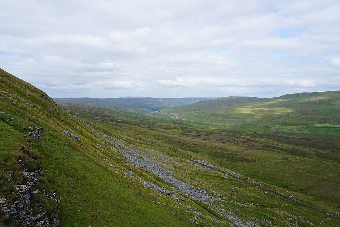
Halfway down and I get a view round the side of Penyghent to Penyghent Gill and the moors around Littondale
The broad moorland of Overdale below the southern end of Penyghent
Made it down. Looking back up at the limestone crags of Penyghent.
Leaving Penyghent behind on the Pennine Way
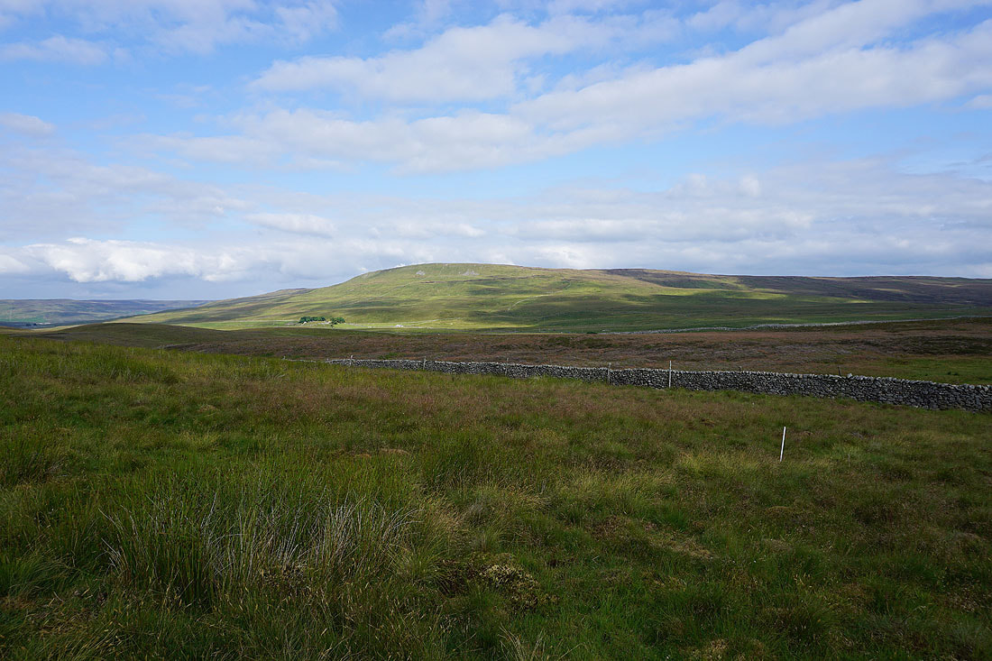
Sunshine on Fountains Fell
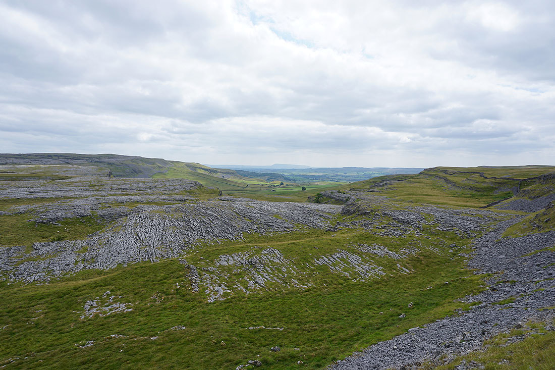
I've left the Pennine Way for the track of Long Lane. Ingleborough and Whernside on the other side of Ribblesdale.
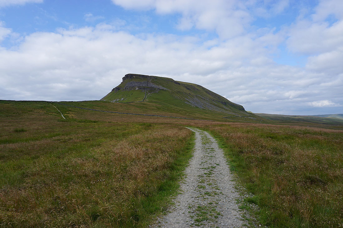
Penyghent stands tall above its surrounding moorland
Another photo of the view across Ribblesdale and I can now see Horton in the valley below
Following Long Lane down towards Helwith Bridge..
Looking back up Long Lane for a last glimpse of Penyghent
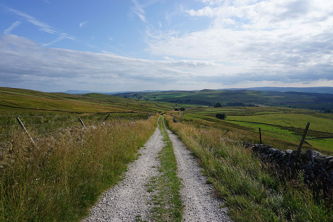
I've left Long Lane for the track of Moor Head Lane
Looking back to see the top of Ingleborough above the quarry scarred hill of Moughton
Near the top of Moor Head Lane and I'll soon reach the footpath back to Stainforth on the right
Pendle Hill in the distance as I follow the footpath back to Stainforth
Sunshine on Smearsett Scar on the other side of Ribblesdale
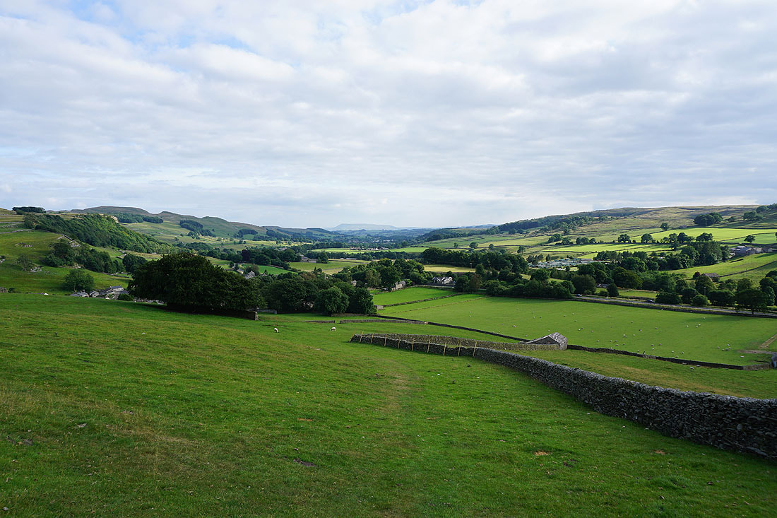
The final descent to Stainforth and I'm more than ready for a sit down