25th June 2010 - The High Stile range and Haystacks
Walk Details
Distance walked: 9.9 miles
Total ascent: 4061 ft
OS map used: OL4-The English Lakes, North-western area
Time taken: 7 hrs
Route description: Buttermere-Burtness Wood-Bleaberry Tarn-Red Pike-High Stile-High Crag-Seat-Scarth Gap Pass-Haystacks-Innominate Tarn-Dubs Quarry-Warnscale Bottom-Gatesgarth Farm-Buttermere
A walk from Buttermere to Red Pike via Bleaberry Tarn. I then walked along the ridge to High Stile and High Crag. I then descended Gamlin End and climbed Haystacks. From Haystacks I made my way back to Buttermere via Warnscale Bottom and the north shore of Buttermere.
Route map
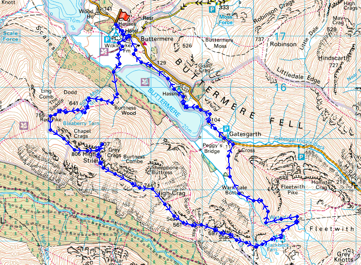
© Crown copyright. All rights reserved. License number PU 100034184.
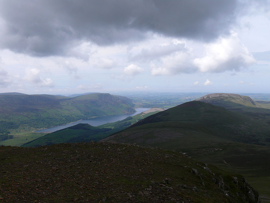
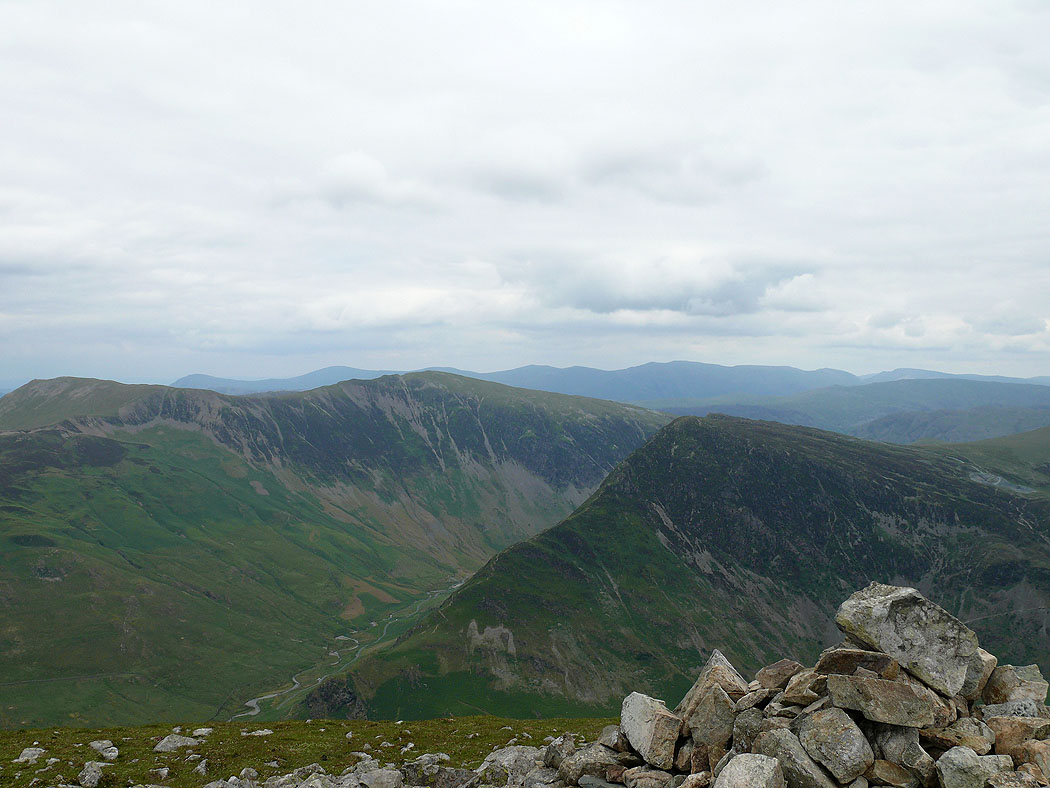
Lingcomb Edge, Mellbreak and Crummock Water from Red Pike. After parking in Buttermere I made my way up to Bleaberry Tarn and then Red Pike.
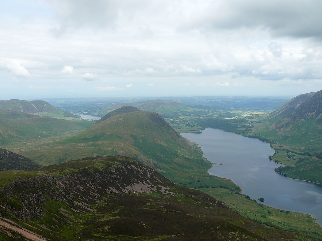
Crummock Water and Grasmoor
Robinson, Hindscarth and Dale Head across Buttermere
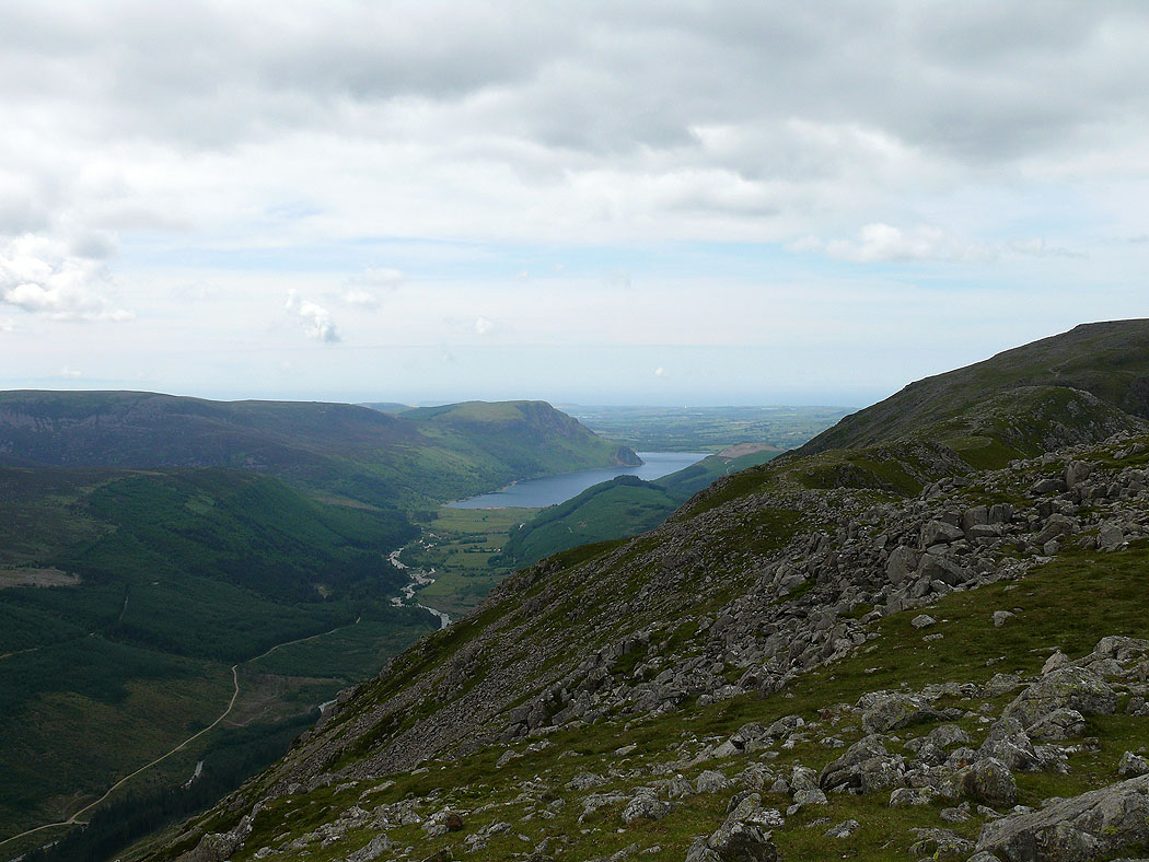
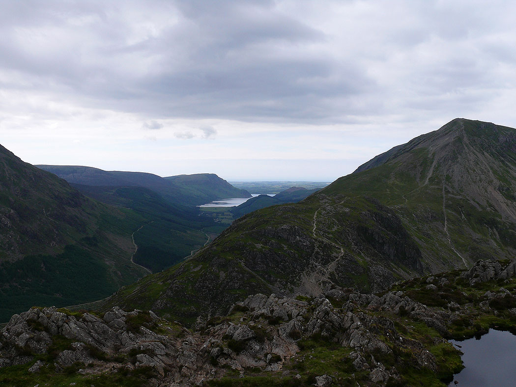
Ennerdale Water with Starling Dodd and Great Borne on the right
View across to the Loweswater Fells
Pillar and Scoat Fell
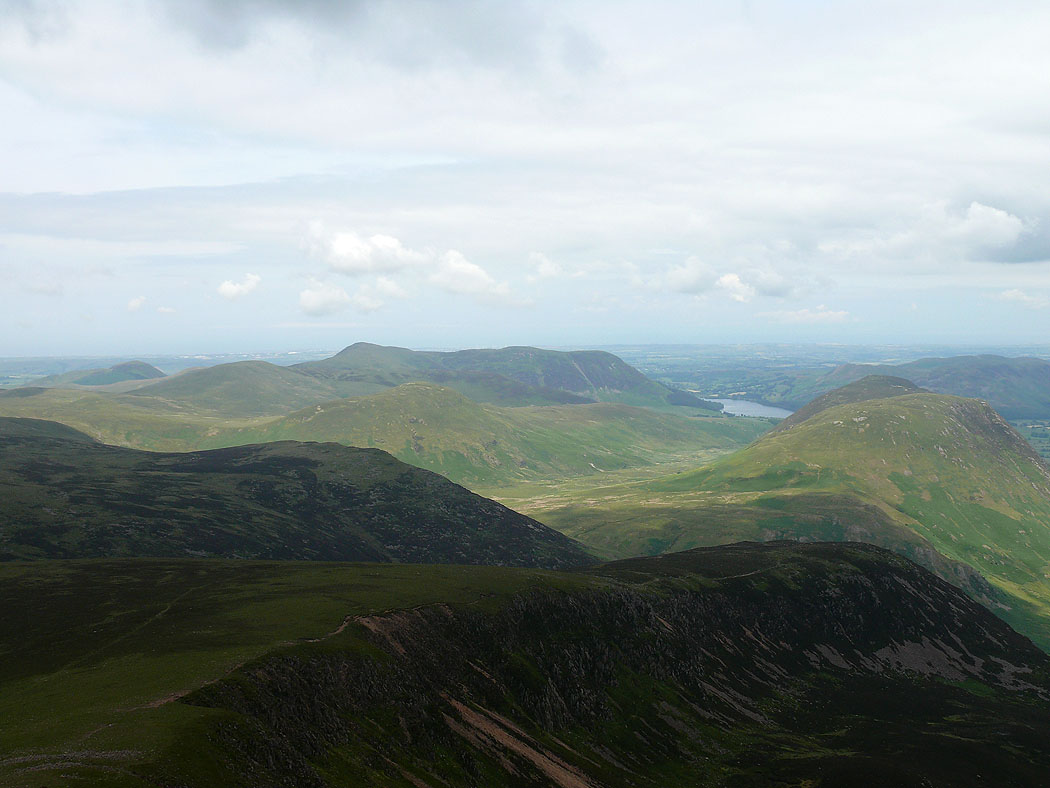
Crummock Water and Grasmoor from High Stile
View over Hindscarth, Dale Head and Fleetwith Pike to the Helvellyn range
Red Pike
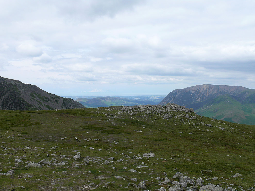
Skiddaw and Blencathra in the distance
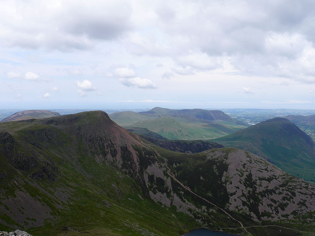
Grasmoor and Crag Hill
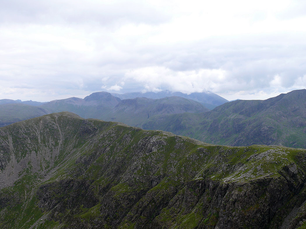
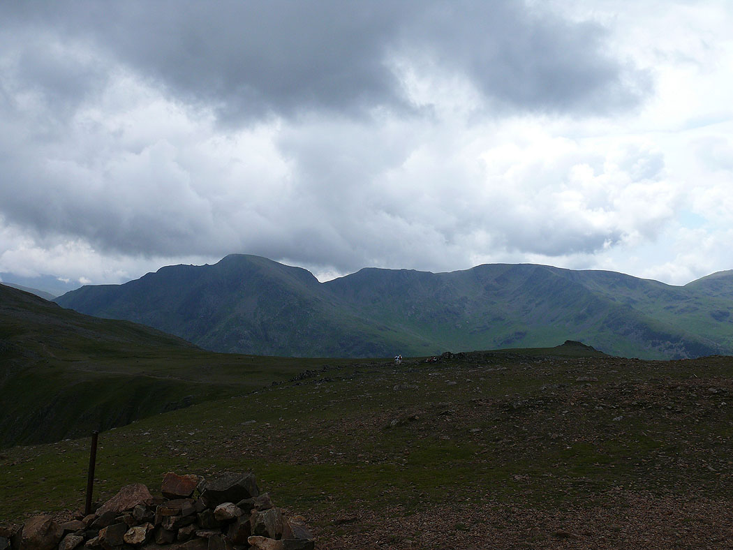
The ridge continuing to High Crag. Great Gable and the cloud covered Scafells in the background.
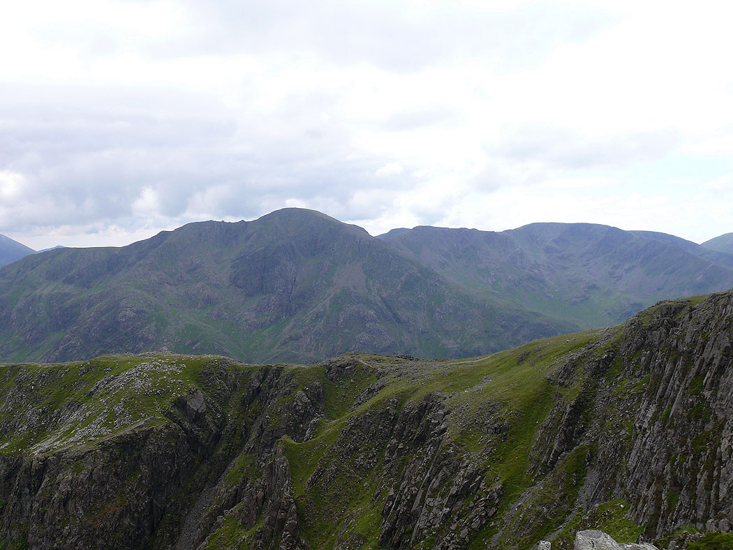
Pillar and Scoat Fell
Hindscarth, Dale Head and Fleetwith Pike with a bit of Buttermere below
Ennerdale Water from High Crag
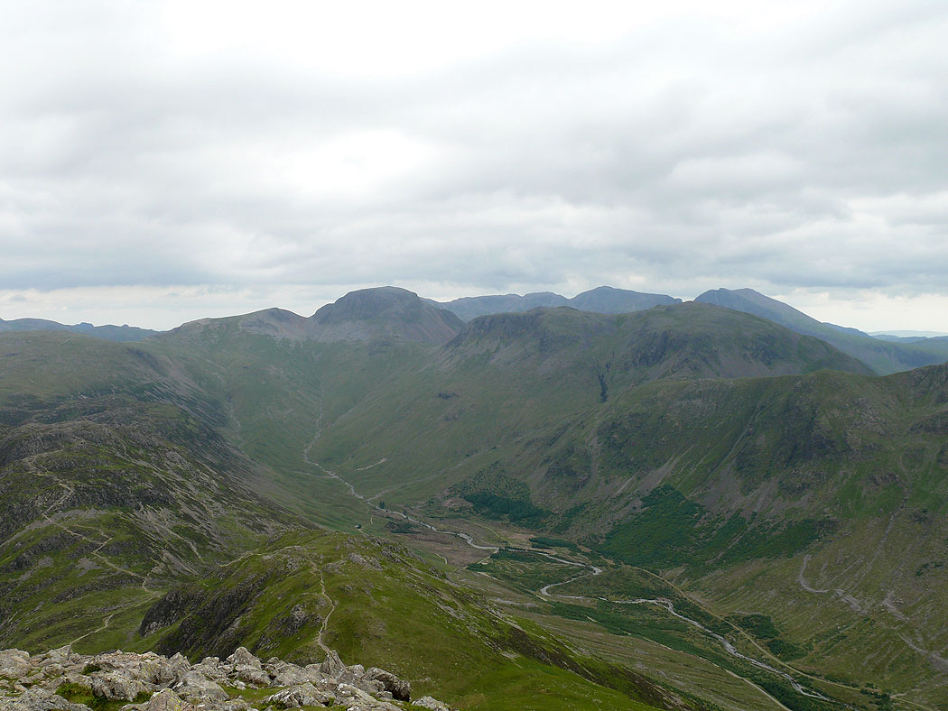
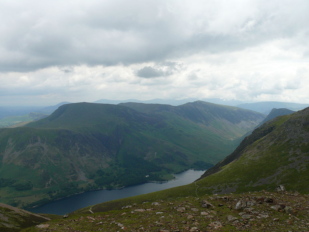
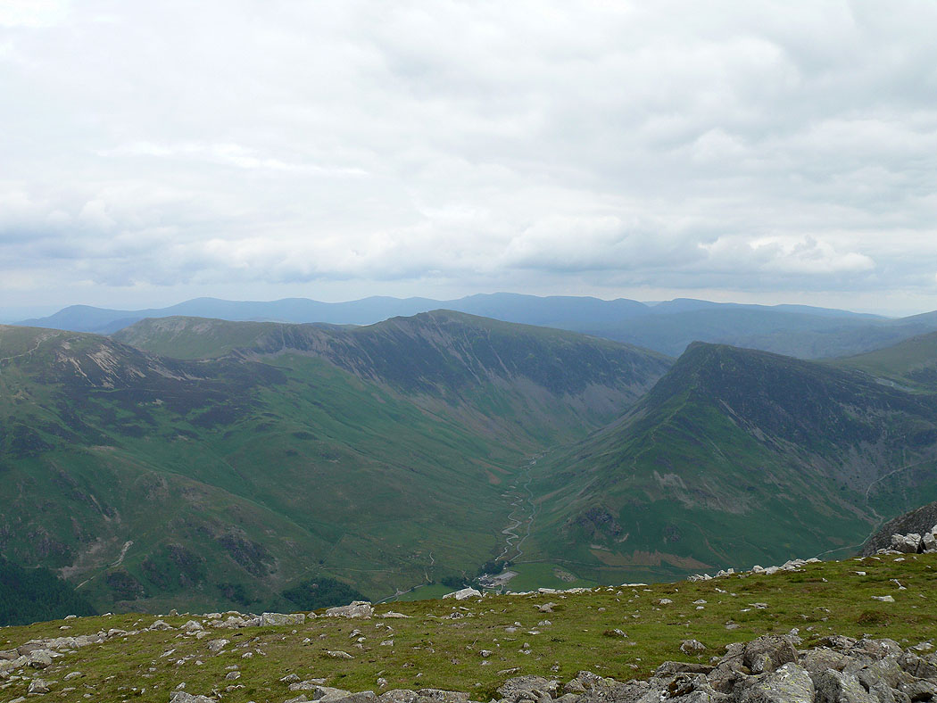
The head of Ennerdale. Green and Great Gables, Kirk Fell and the Scafells behind.
High Crag summit
View over Hindscarth, Dale Head and Fleetwith Pike to the Helvellyn range
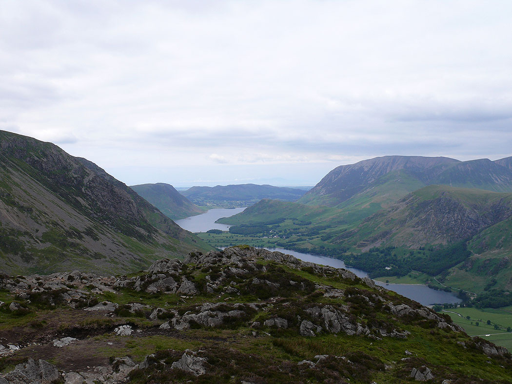
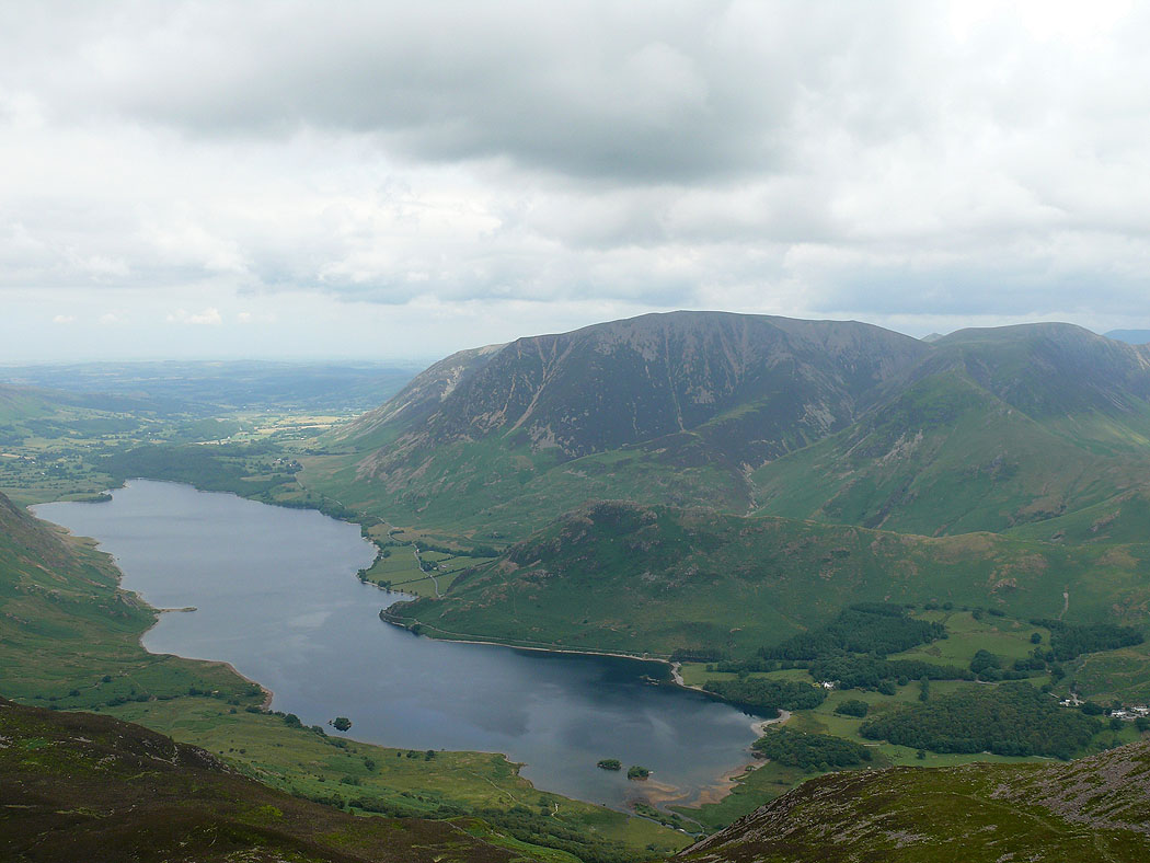
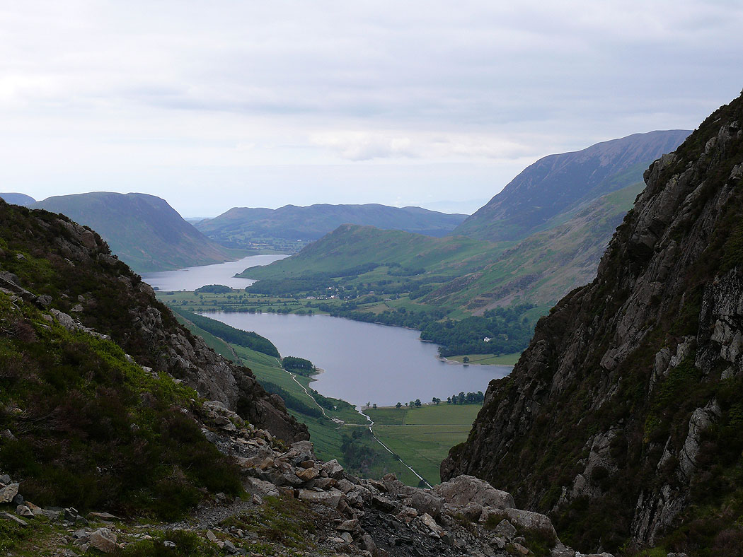
Buttermere and Crummock Water from Seat
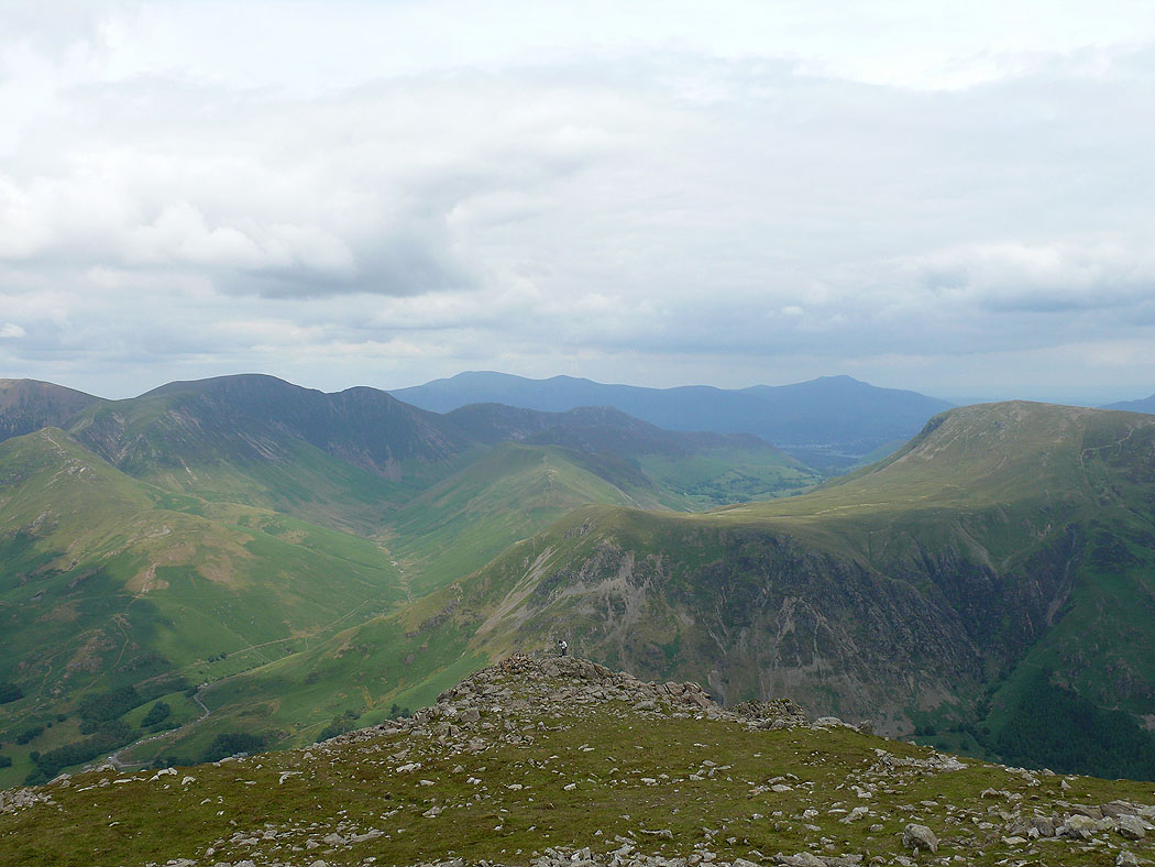
On Haystacks. Ennerdale Water in the distance and High Crag on the right.
Haystacks summit
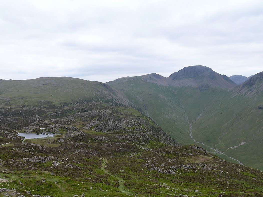
Innominate Tarn and Great Gable
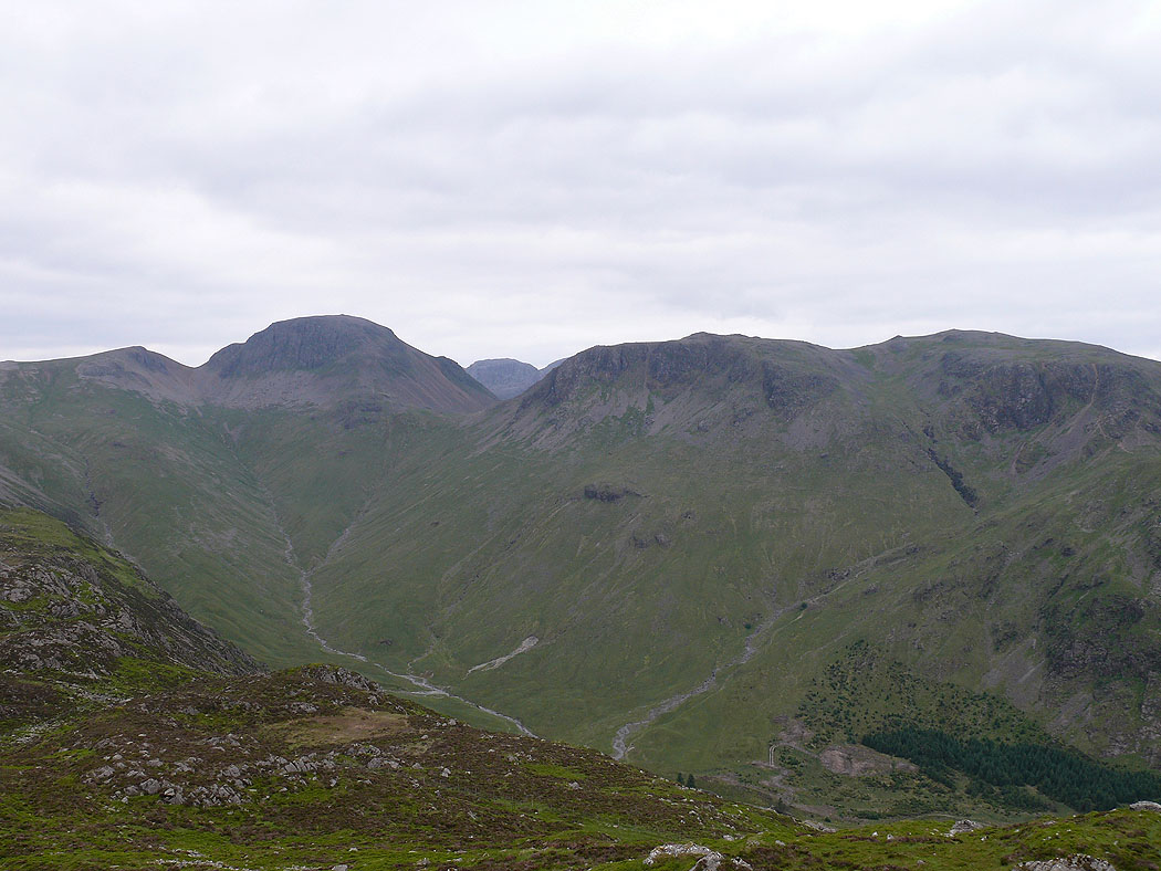
Great Gable and Kirk Fell
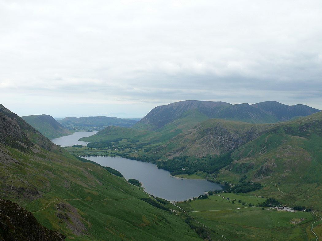
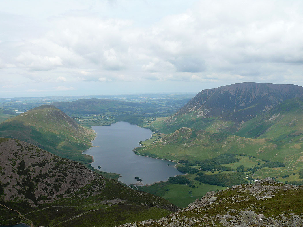
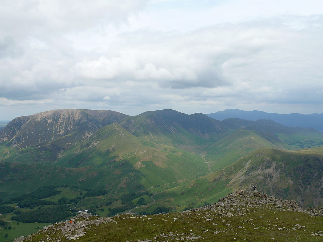
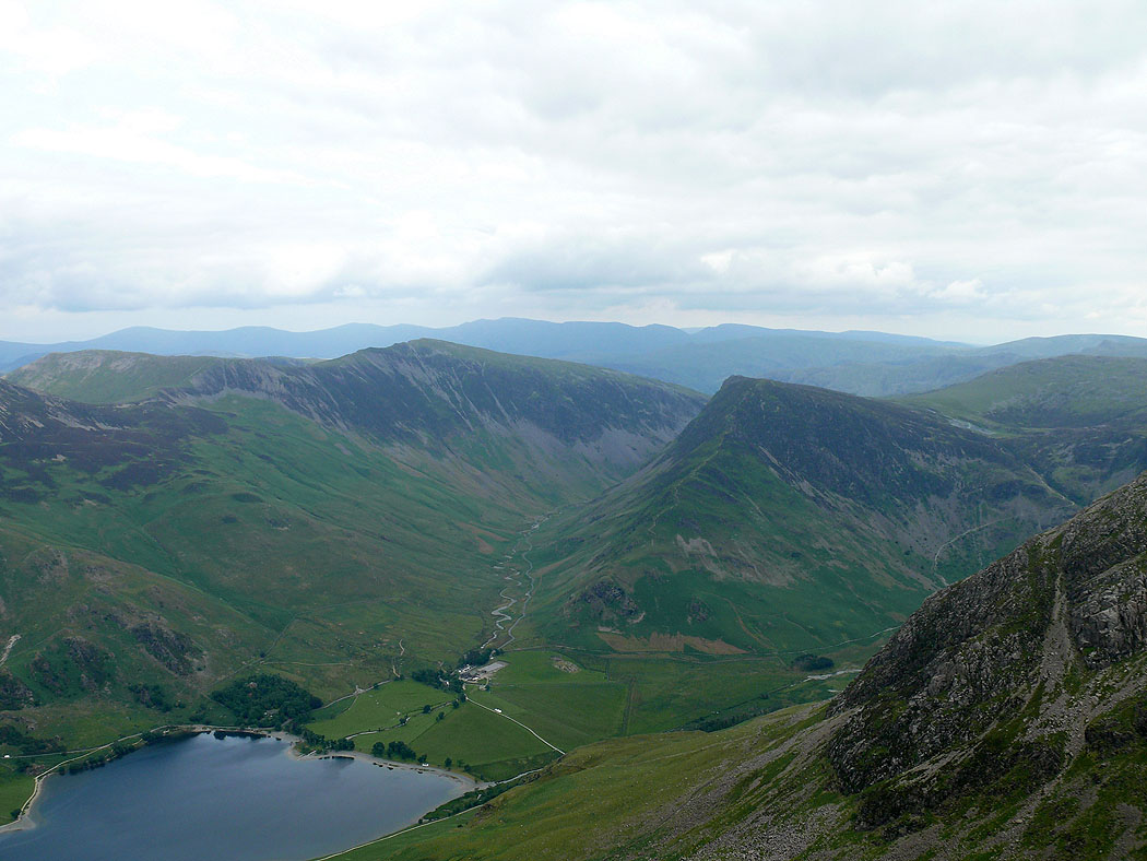
Buttermere and Crummock Water from Haystacks
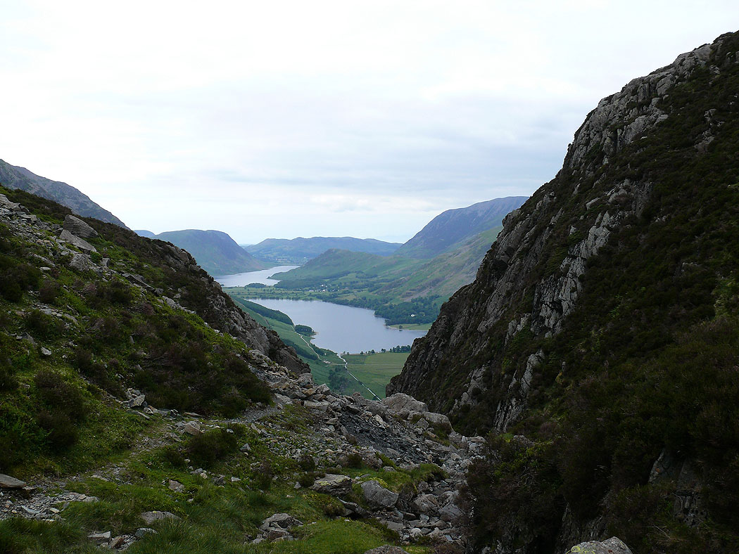
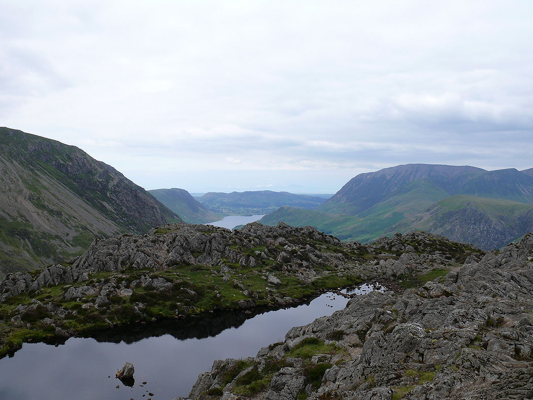
View through the gap at the Blackbeck Tarn outlet
Zooming in
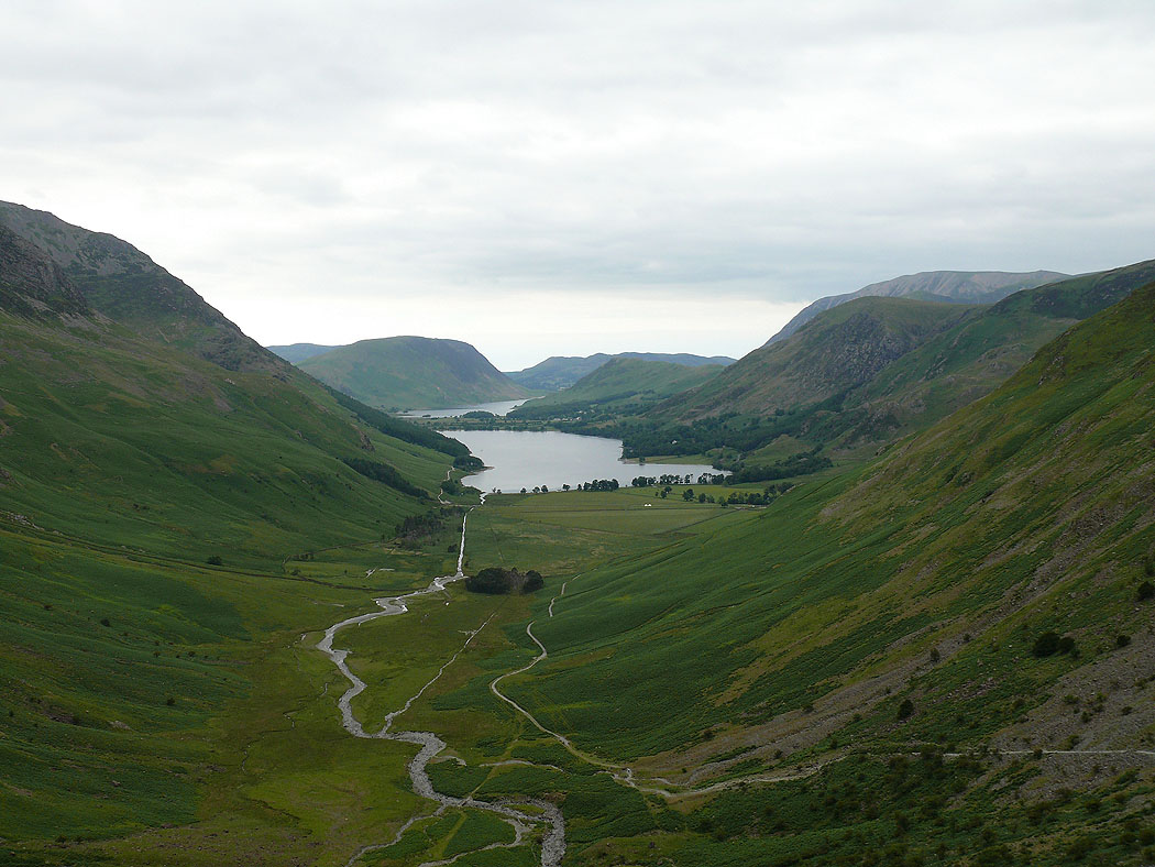
Heading down into Warnscale Bottom