25th June 2017 - Grit Fell and Clougha Pike
Walk Details
Distance walked: 6.2 miles
Total ascent: 1257 ft
OS map used: OL41 - Forest of Bowland & Ribblesdale
Time taken: 3 hrs
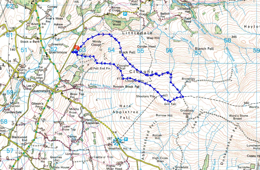
Route description: Birk Bank car park on Rigg Lane-Birk Bank-Ottergear Bridge-track round the back of Clougha Pike-Grit Fell-Clougha Pike-Clougha Scar-Birk Bank car park on Rigg Lane
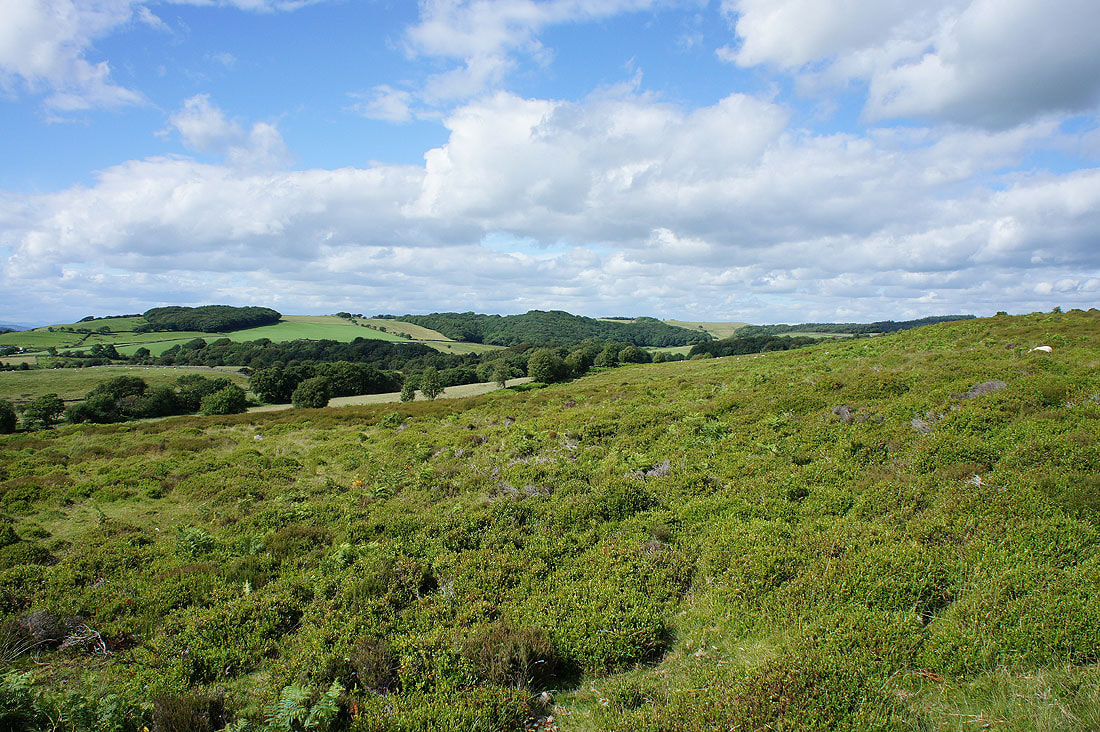
I didn't make the best of decisions about which day to head out on this weekend. With hindsight it should have been yesterday. The weather was much better than originally forecast and then the overnight rain took longer to clear than it was supposed to. It meant that I didn't start this walk in the Forest of Bowland until after lunchtime. With the weather improving from the northwest I thought that a walk up Clougha Pike would be a good idea. It proved to be the case with some sunny spells and great views to enjoy.
From the car park I followed the path north across Birk Bank and Ottergear Bridge to reach the shooters track that makes for the col between Ward's Stone and Grit Fell. I followed this up round the back of Clougha Pike to its top and from there to the top of Grit Fell. There was a brief stop to take in the view before continuing westwards to Clougha Pike. My route back took me down Clougha Scar and through the woodland on Birk Bank to the car park.
Route map
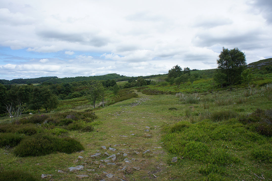
On the path across Birk Bank
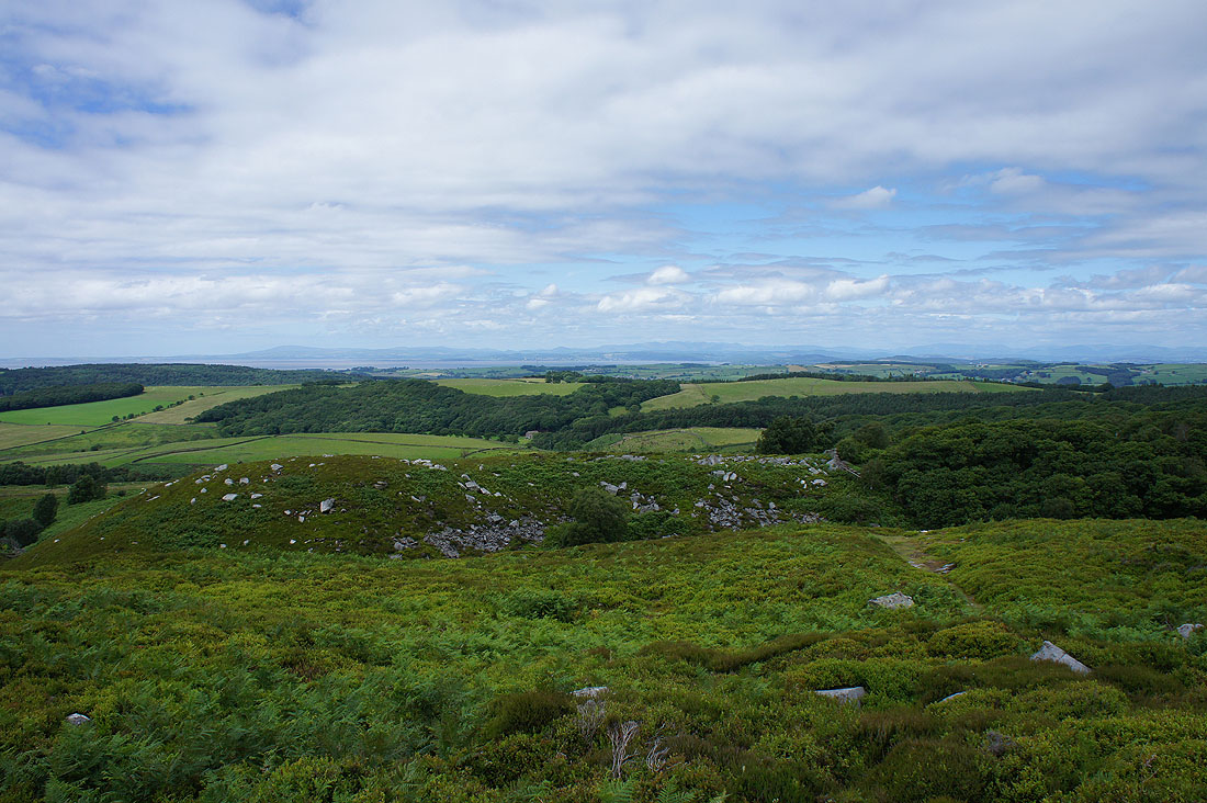
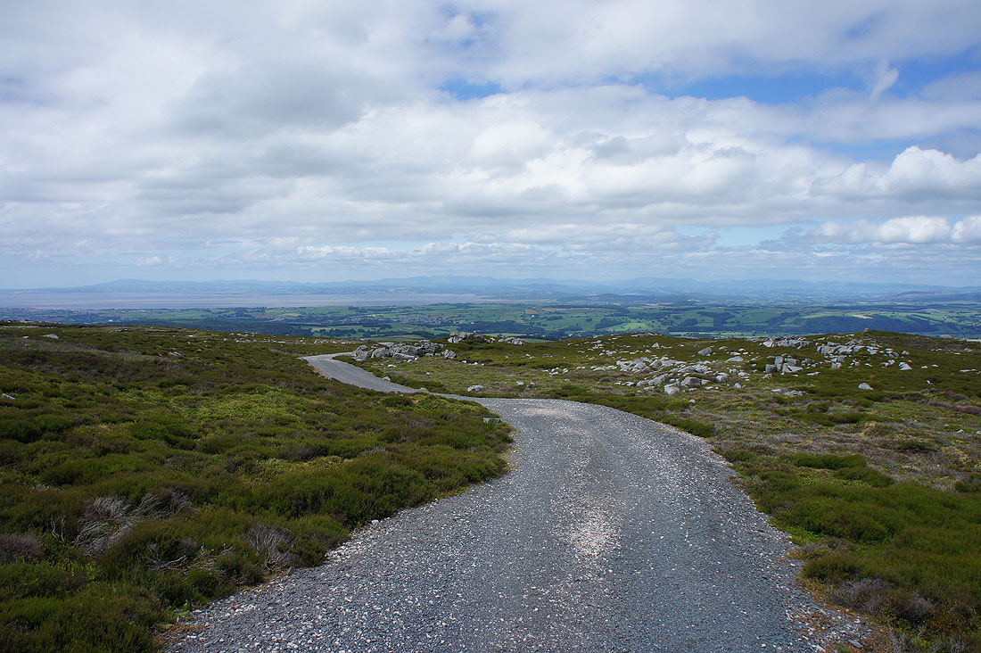
Almost as soon as I get onto the track round the back of Clougha Pike I have a view across Morecambe Bay to the Lake District fells
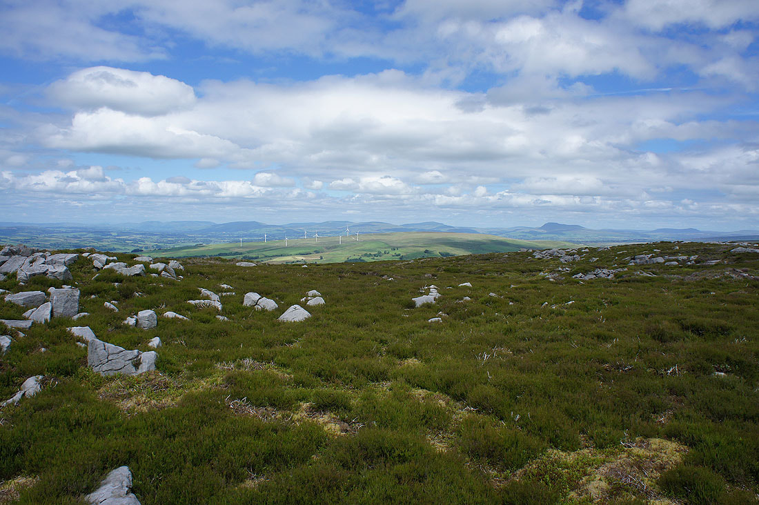
Then higher up there's the Howgills, Middleton Fell, Great Coum, Whernside, Ingleborough and Penyghent in the Yorkshire Dales
It's hard to stop turning round when there's this behind me
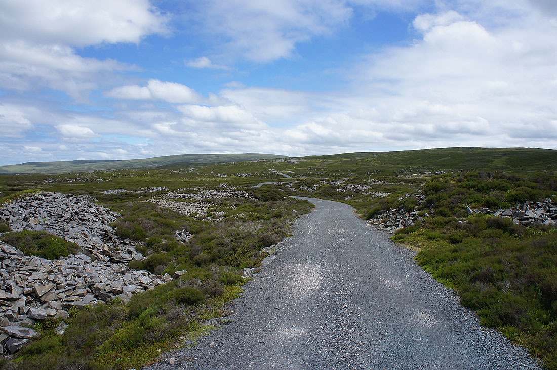
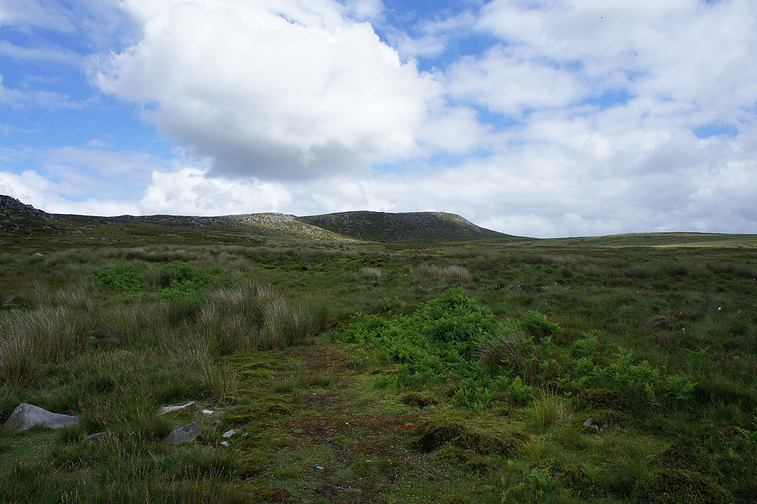
The track now makes its way across the northern slopes of Grit Fell towards the gap between Ward's Stone and Grit Fell
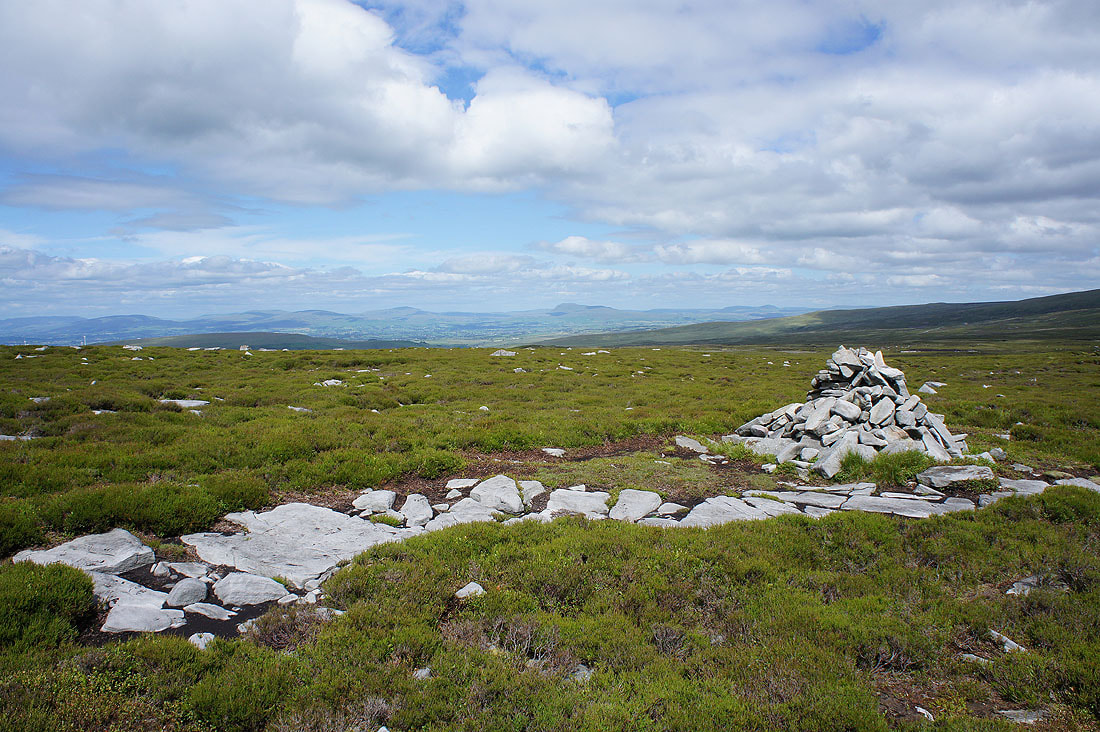
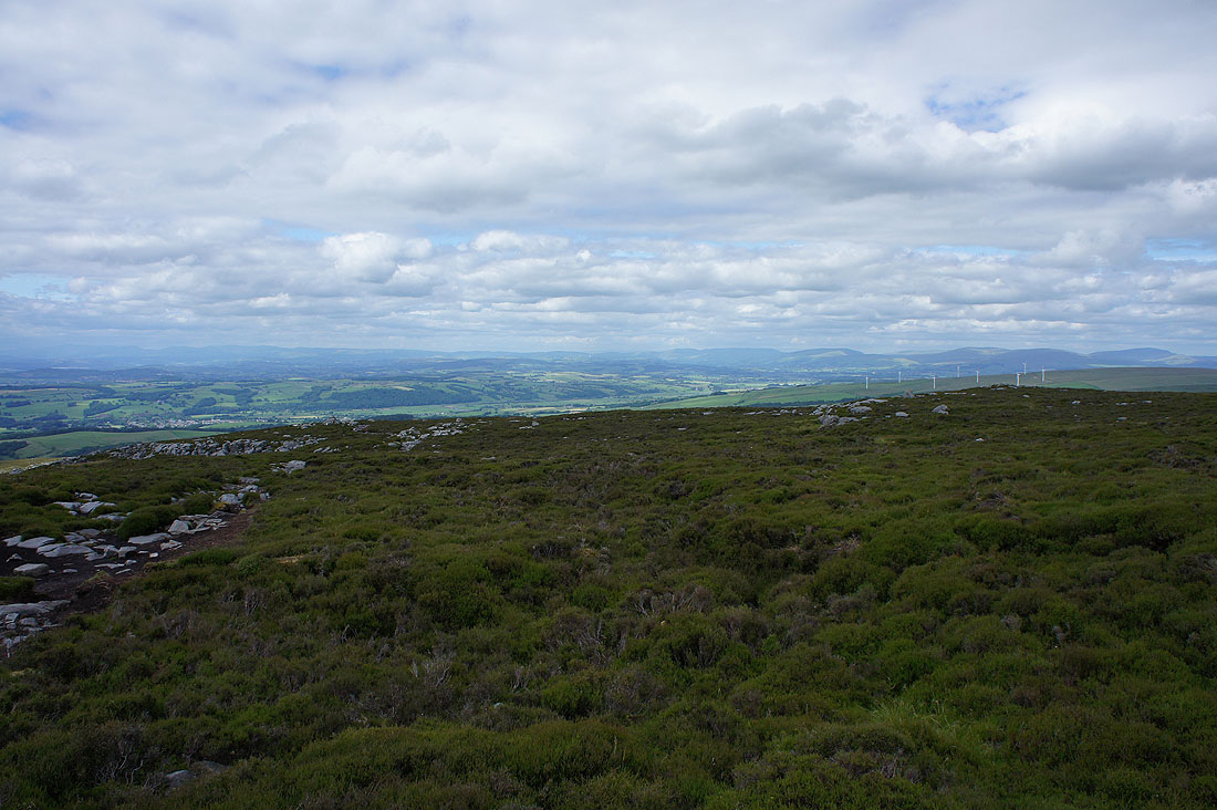
Whernside, Ingleborough and Penyghent from the summit of Grit Fell
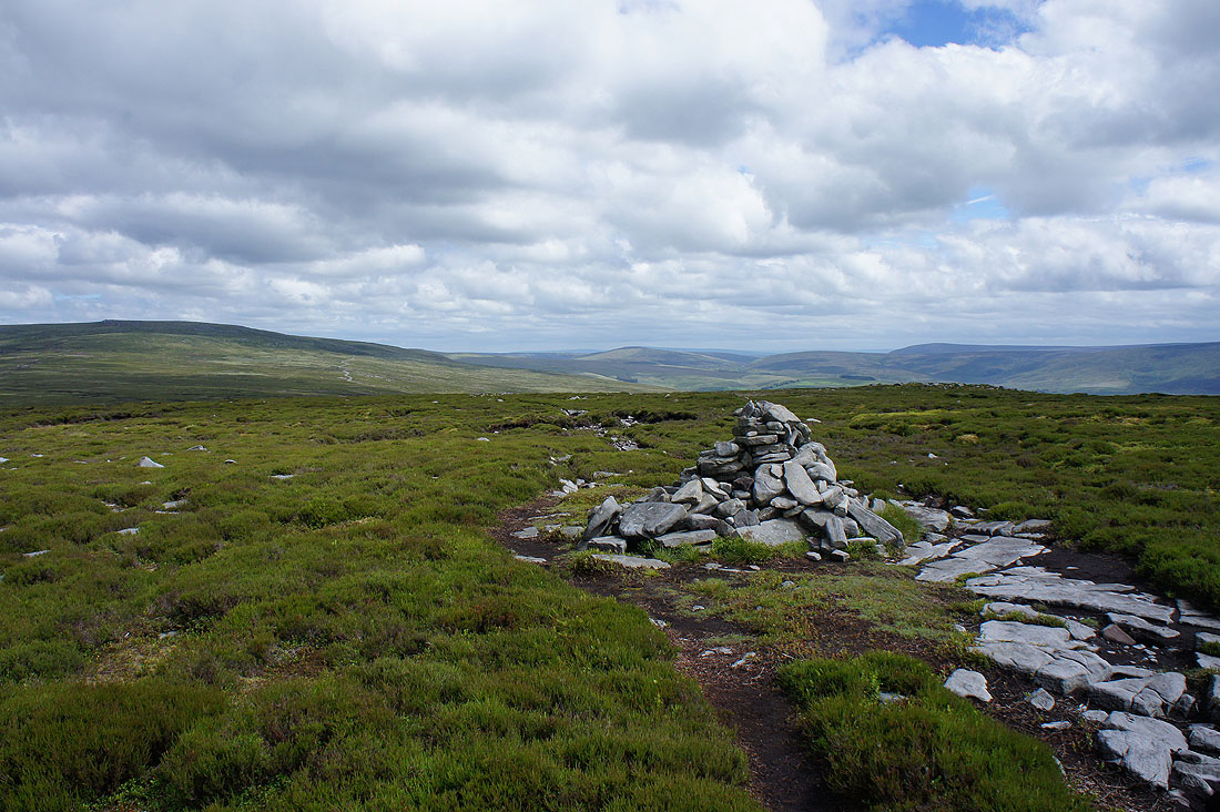
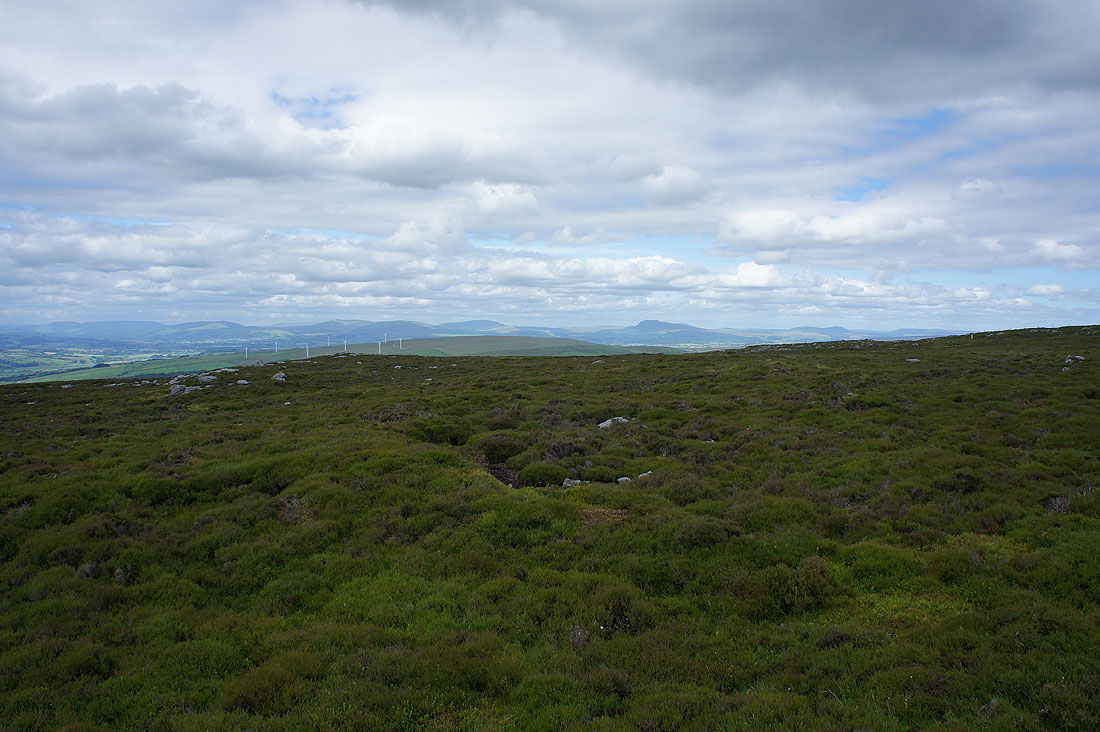
Ward's Stone and the fells around the Trough of Bowland
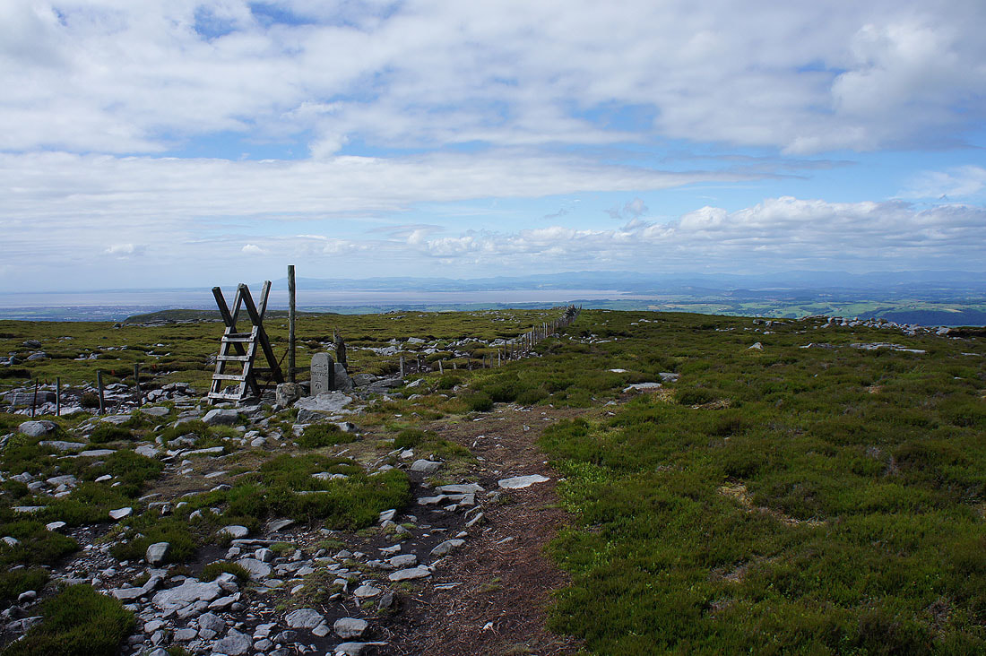
First class views as I head for Clougha Pike..
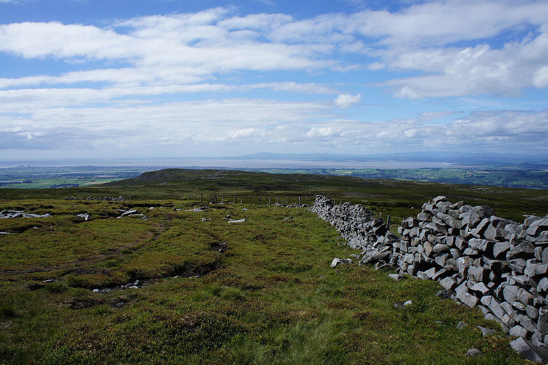
I couldn't resist looking over the wall to take a photo of Whernside, Ingleborough and Penyghent
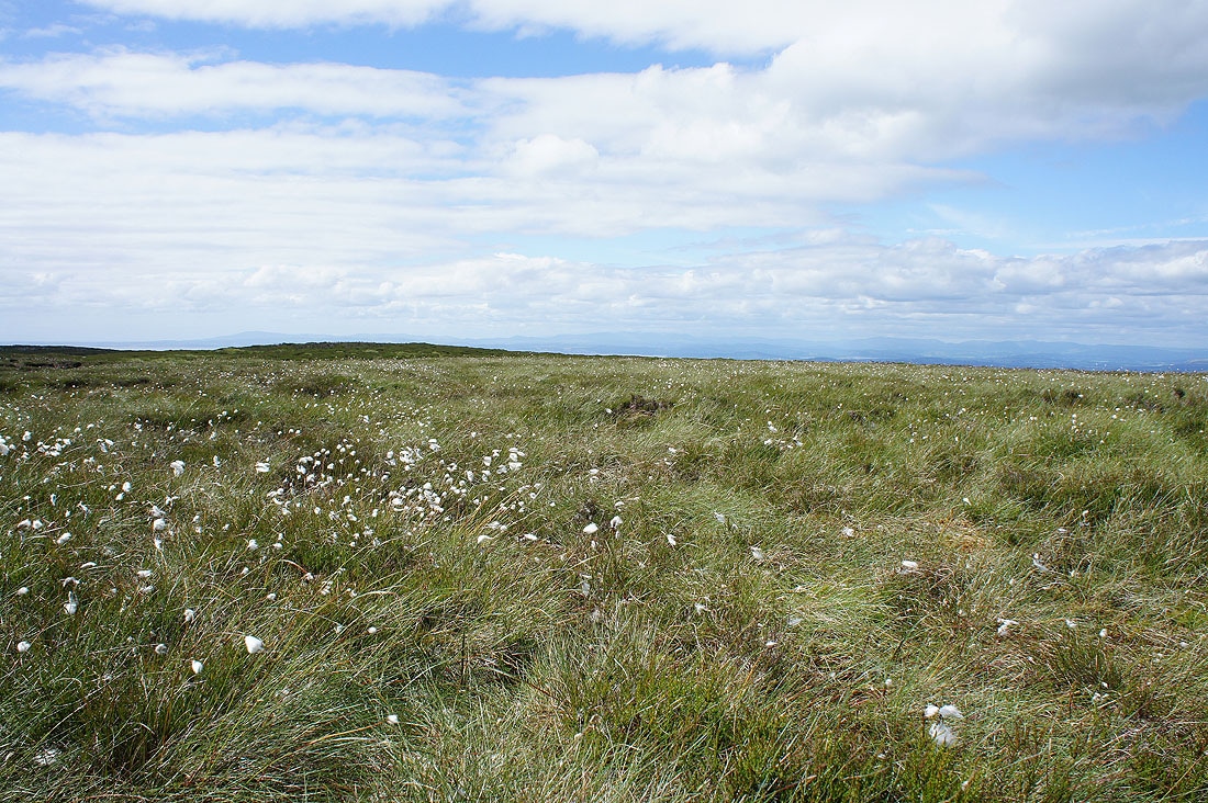
Cotton grass on the moor
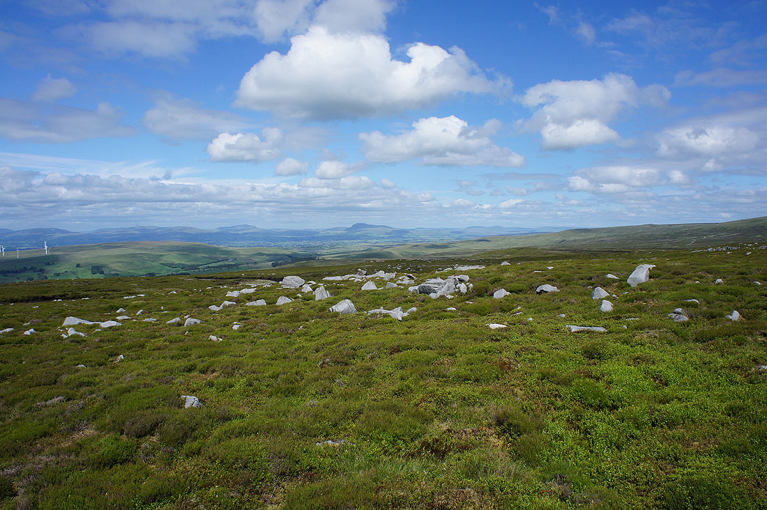
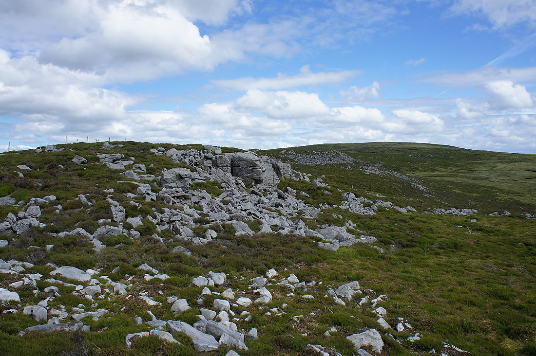
Bowland grit
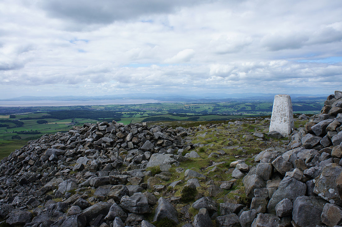
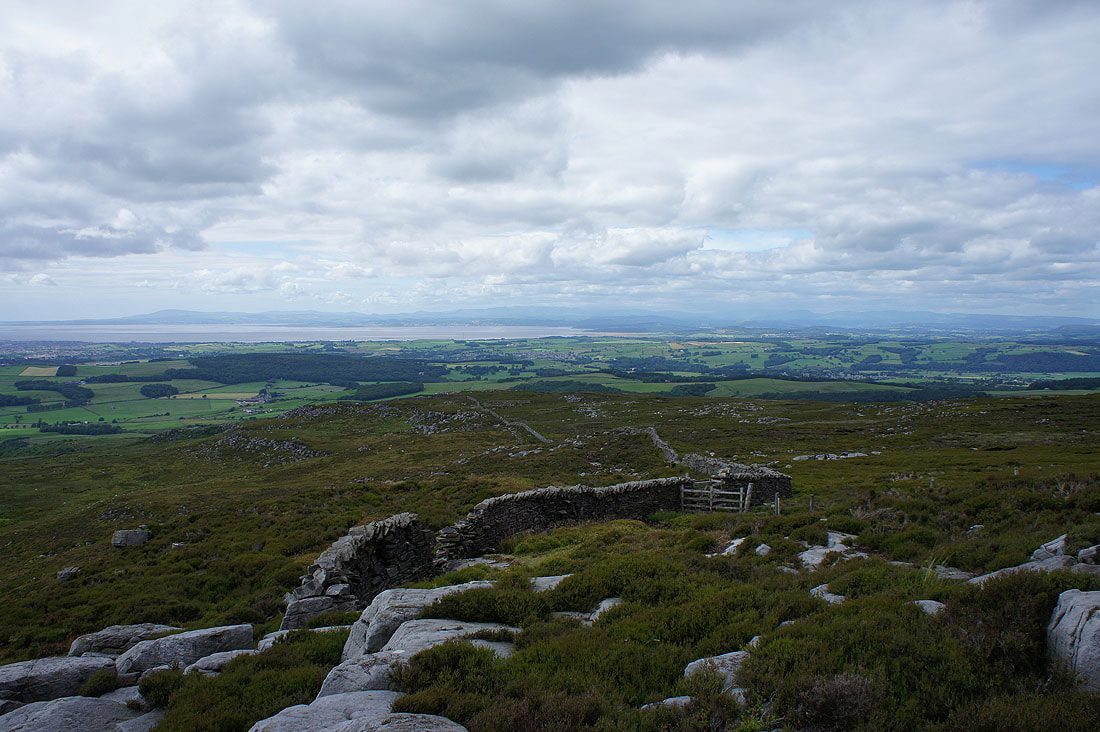
Morecambe Bay and the Lake District fells from the trig point on Clougha Pike
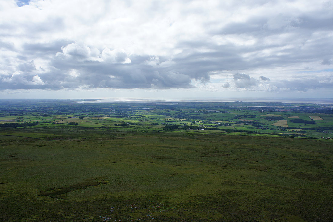
The Lune estuary
The view from northwest round to east is the highlight of being up here...
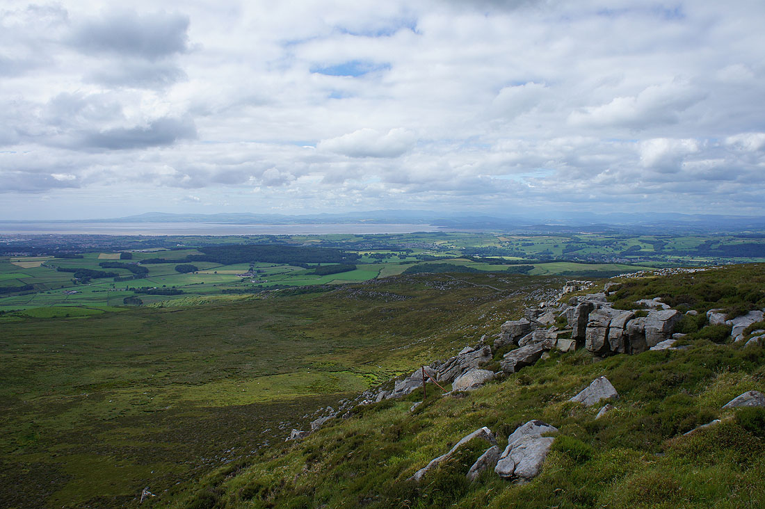
Heading down Clougha Scar
The Lune estuary as I leave Clougha Scar
Looking back to Clougha Pike
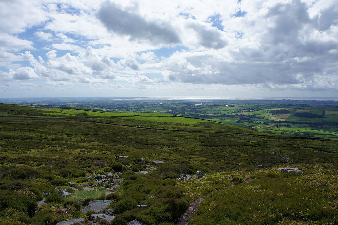
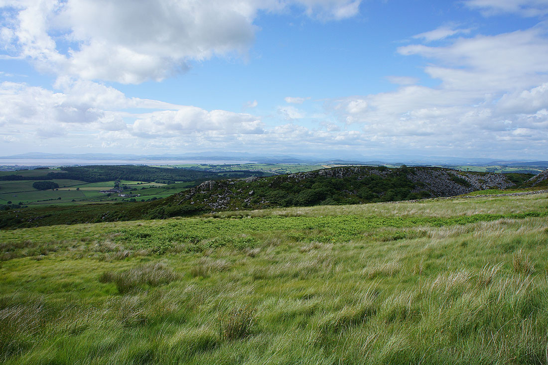
Morecambe Bay and the Lake District fells over the top of Windy Clough
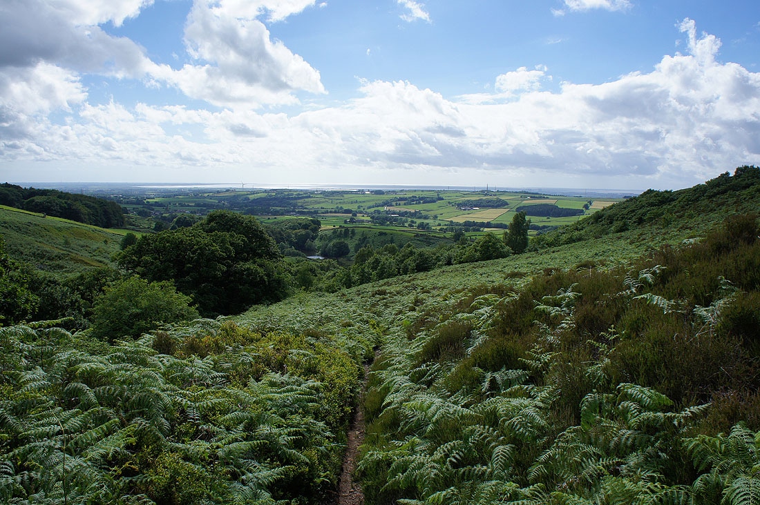
Descending into the woodland on Birk Bank
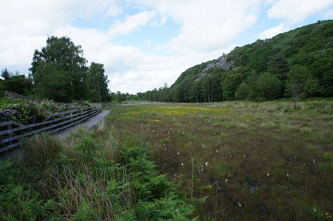
Duckboards are essential for crossing the marshy ground
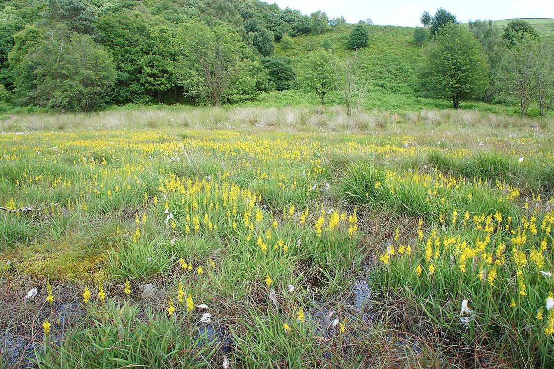
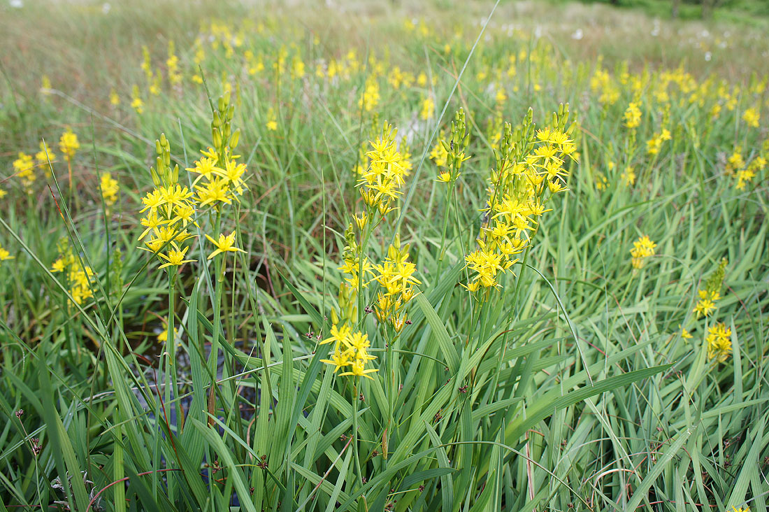
The marshy ground is providing a fine display of flowering bog asphodel..
A beautiful end to the afternoon as I arrive back at the car park on Rigg Lane
