25th June 2022 - Around Coverdale
Walk Details
Distance walked: 13.7 miles
Total ascent: 2251 ft
OS map used: OL30 - Yorkshire Dales, Northern & Central areas
Time taken: 7.5 hrs
Route description: Carlton in Coverdale-Melmerby Moor-Penhill-Height of Hazely-Harland Hill-Fleensop Moor-Braidley-Arkleside-Hindlethwaite Moor-Swineside Moor-Swineside-West Scrafton-River Cover-Carlton in Coverdale
My walk for this weekend has taken me to the valley of Coverdale in the Yorkshire Dales, one of the many side valleys of Wensleydale. Since this is only my second visit to this dale, the first being nearly three years ago, I've planned a route that will help me get to know it a bit better. Some of the route wasn't new to me though, Penhill, Height of Hazely, and Harland Hill had been visited on walks from West Burton and West Witton, but the rest of it was, and I thoroughly enjoyed it. Most of the time I had no problems keeping to the route that I was following except while I was on the bridleway across Swineside Moor, which I'm guessing doesn't get much use, and I lost it for while until I reached Swineside, but since I was on access land it didn't matter. The forecast was for a reasonable summer's day with sunny spells but the chance of a shower, and I got caught by one while I was on my way up Harland Hill. It was heavy enough for me to be scrambling in my rucksack for my waterproof coat.
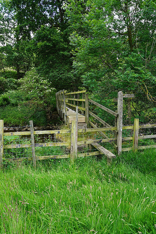
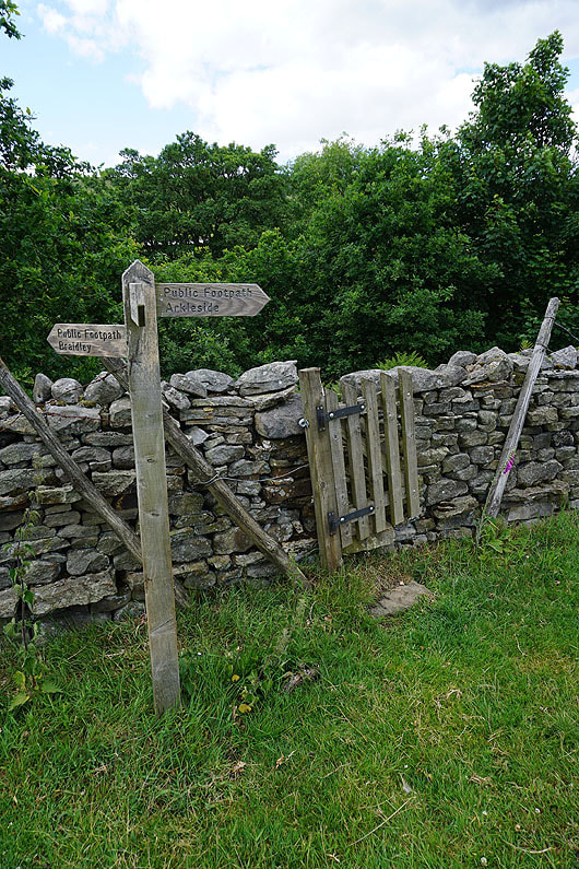
After parking in Carlton-in-Coverdale I made my way to the eastern end of the village and took a footpath on the left that I followed up through fields and onto Melmerby Moor, where I picked up the bridleway to the Melmerby to West Witton Road. On reaching the road I had a short walk north along it to take the bridleway on the left up to Penhill Beacon. Once I'd taken in the view I made my way west along the northern edge of Penhill, past Penhill Scar and Black Scar, then southwest round the edge of the moor until I reached a wall, which I crossed and followed up to the top of Height of Hazely. I then made my way south from Height of Hazely to Harland Hill, where I stopped for lunch. After this break I made my way south from Harland Hill down to the bridleway from Waldendale across Fleensop Moor to Braidley in Coverdale, which I took and followed south across Fleensop Moor and down to the hamlet of Braidley. I then crossed the road through Braidley and took the footpath opposite down to the River Cover, followed the path east by the river to a footbridge, crossed it, and took the path east through fields and then a track to Arkleside. When I reached the end of the track at Arkleside I took the track on the right that crosses the moors to Nidderdale, followed this uphill until I reached the sheepfolds at Arkleside Gill, where I took the bridleway on the left. I then made my way northeast along the bridleway across Hindlethwaite Moor and Swineside Moor to the hamlet of Swineside, then from there I walked down the road to West Scrafton. I made my way through the village to the Methodist Chapel where I took a footpath from the village green by Great Gill to a lane, crossed this and took the footpath opposite up a track between two houses, then a footpath down through fields to the River Cover. Once across the footbridge over the river a footpath took me up through fields and onto a track back to Carlton-in-Coverdale.
Total ascent: 2251 ft
OS map used: OL30 - Yorkshire Dales, Northern & Central areas
Time taken: 7.5 hrs
Route description: Carlton in Coverdale-Melmerby Moor-Penhill-Height of Hazely-Harland Hill-Fleensop Moor-Braidley-Arkleside-Hindlethwaite Moor-Swineside Moor-Swineside-West Scrafton-River Cover-Carlton in Coverdale
My walk for this weekend has taken me to the valley of Coverdale in the Yorkshire Dales, one of the many side valleys of Wensleydale. Since this is only my second visit to this dale, the first being nearly three years ago, I've planned a route that will help me get to know it a bit better. Some of the route wasn't new to me though, Penhill, Height of Hazely, and Harland Hill had been visited on walks from West Burton and West Witton, but the rest of it was, and I thoroughly enjoyed it. Most of the time I had no problems keeping to the route that I was following except while I was on the bridleway across Swineside Moor, which I'm guessing doesn't get much use, and I lost it for while until I reached Swineside, but since I was on access land it didn't matter. The forecast was for a reasonable summer's day with sunny spells but the chance of a shower, and I got caught by one while I was on my way up Harland Hill. It was heavy enough for me to be scrambling in my rucksack for my waterproof coat.
After parking in Carlton-in-Coverdale I made my way to the eastern end of the village and took a footpath on the left that I followed up through fields and onto Melmerby Moor, where I picked up the bridleway to the Melmerby to West Witton Road. On reaching the road I had a short walk north along it to take the bridleway on the left up to Penhill Beacon. Once I'd taken in the view I made my way west along the northern edge of Penhill, past Penhill Scar and Black Scar, then southwest round the edge of the moor until I reached a wall, which I crossed and followed up to the top of Height of Hazely. I then made my way south from Height of Hazely to Harland Hill, where I stopped for lunch. After this break I made my way south from Harland Hill down to the bridleway from Waldendale across Fleensop Moor to Braidley in Coverdale, which I took and followed south across Fleensop Moor and down to the hamlet of Braidley. I then crossed the road through Braidley and took the footpath opposite down to the River Cover, followed the path east by the river to a footbridge, crossed it, and took the path east through fields and then a track to Arkleside. When I reached the end of the track at Arkleside I took the track on the right that crosses the moors to Nidderdale, followed this uphill until I reached the sheepfolds at Arkleside Gill, where I took the bridleway on the left. I then made my way northeast along the bridleway across Hindlethwaite Moor and Swineside Moor to the hamlet of Swineside, then from there I walked down the road to West Scrafton. I made my way through the village to the Methodist Chapel where I took a footpath from the village green by Great Gill to a lane, crossed this and took the footpath opposite up a track between two houses, then a footpath down through fields to the River Cover. Once across the footbridge over the river a footpath took me up through fields and onto a track back to Carlton-in-Coverdale.
Route map

© Crown copyright. All rights reserved. License number PU 100034184.
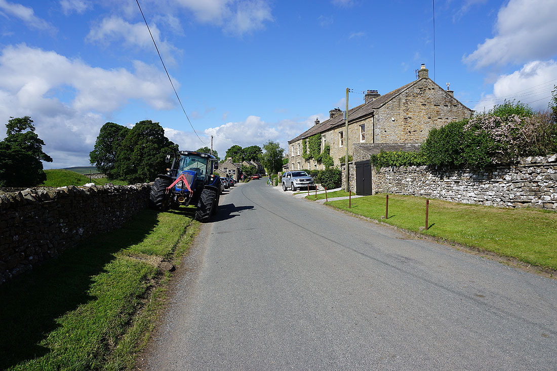
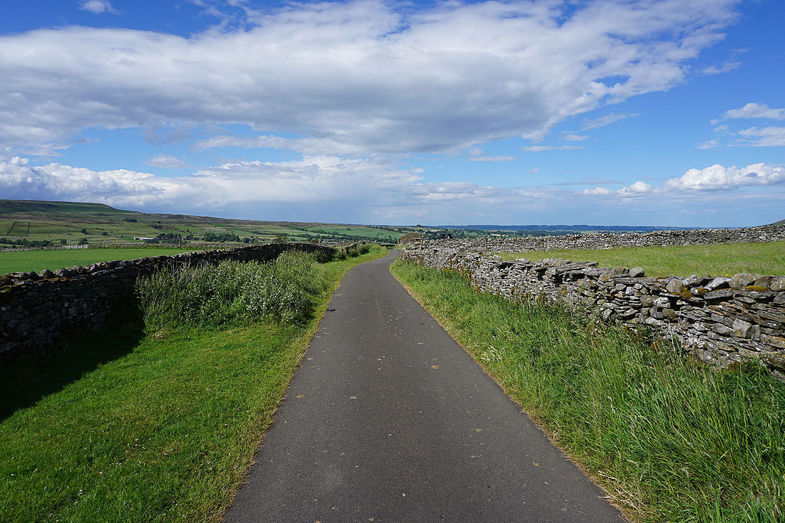
It's a lovely summer's morning in Carlton-in-Coverdale
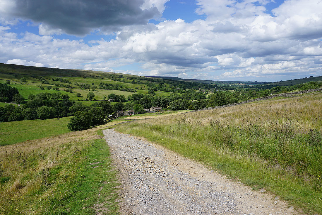
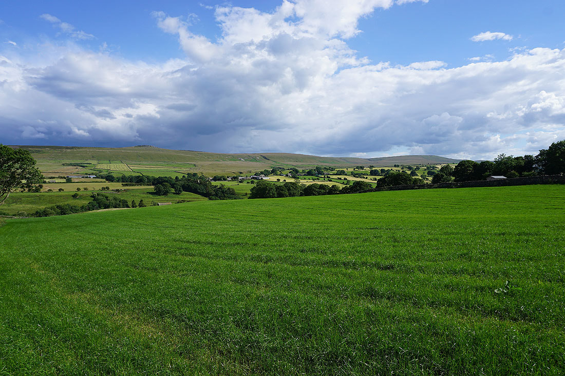
I leave Carlton behind on a footpath up through fields to Melmerby Moor
Looking back across Coverdale to Great Roova Crags and West Scrafton Moor..

..and up Coverdale to Arkleside Moor and Little Whernside
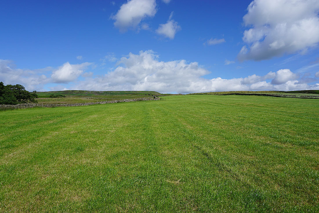
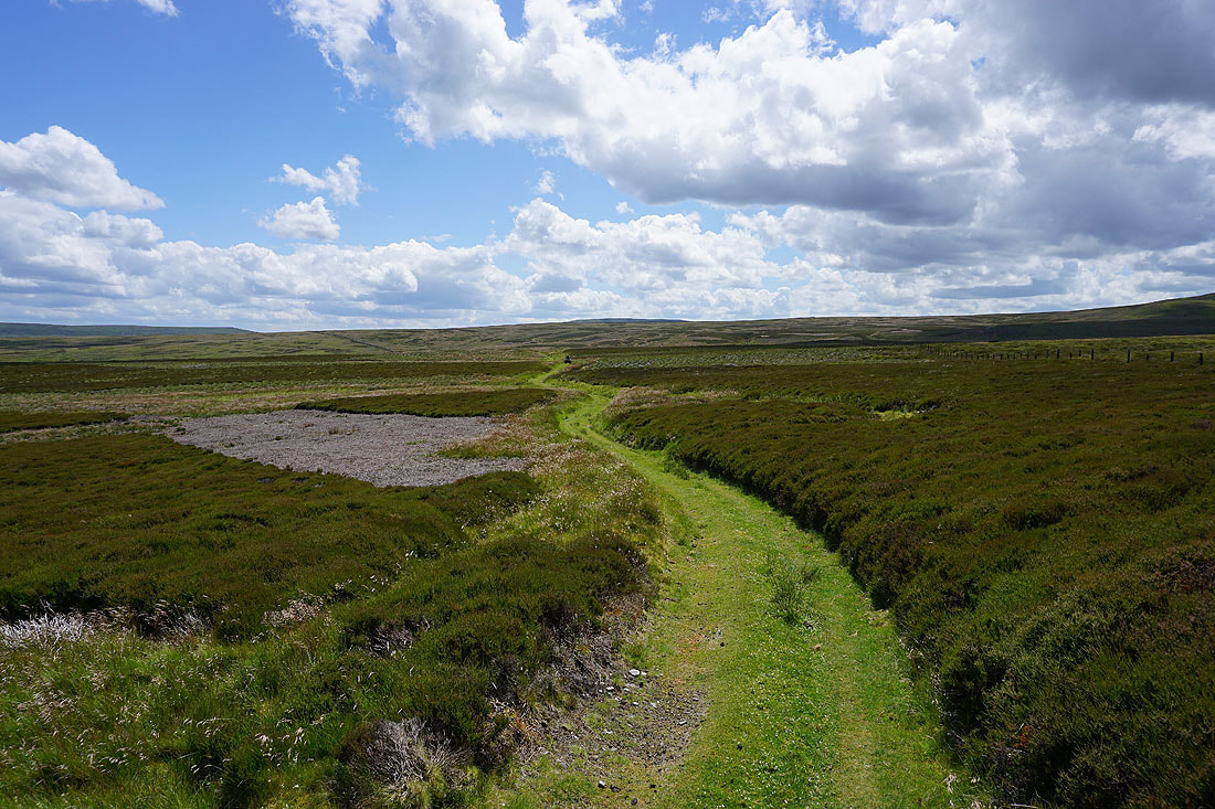
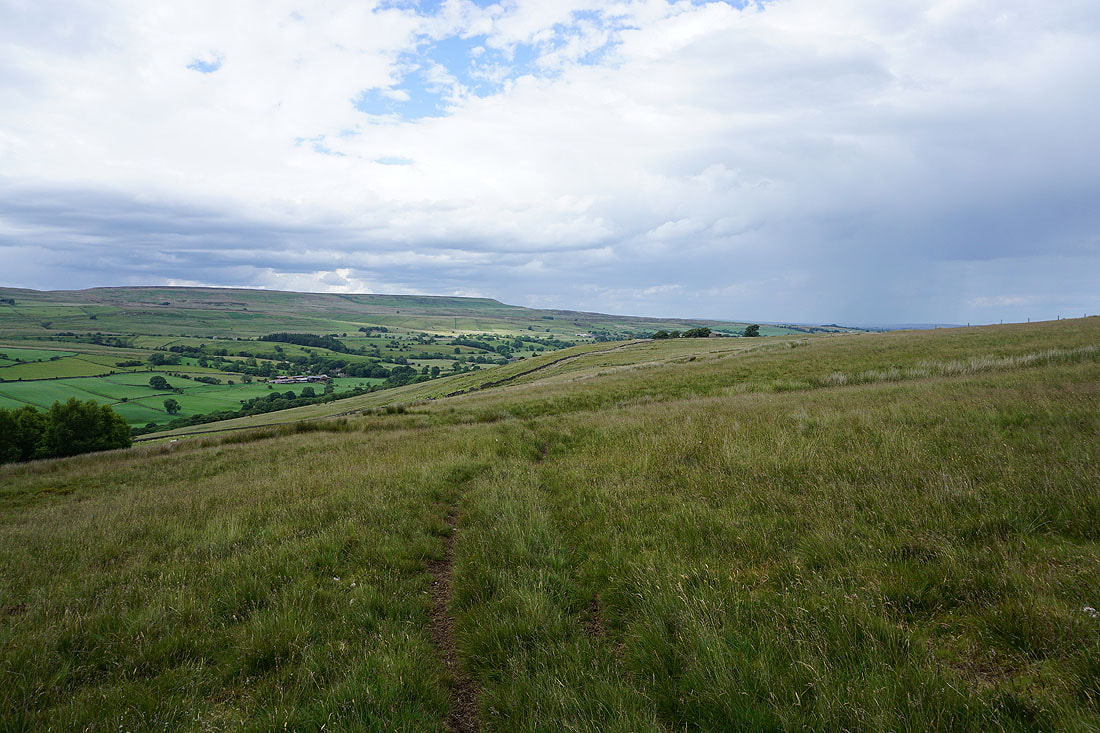
On the bridleway across Melmerby Moor
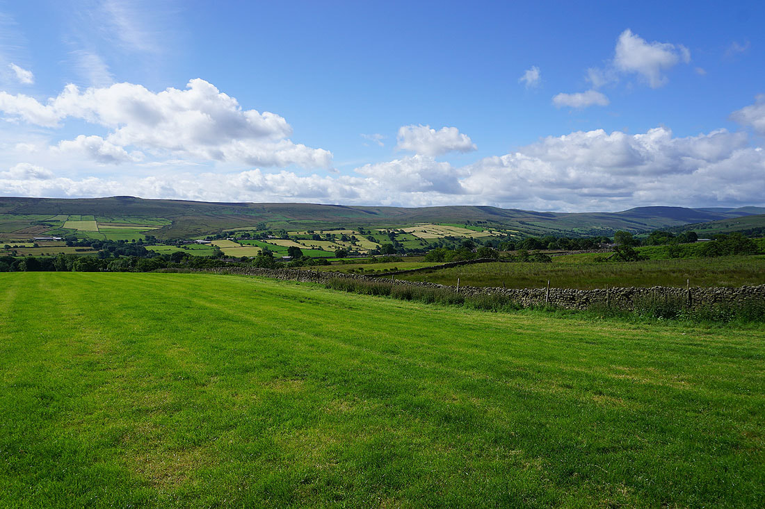
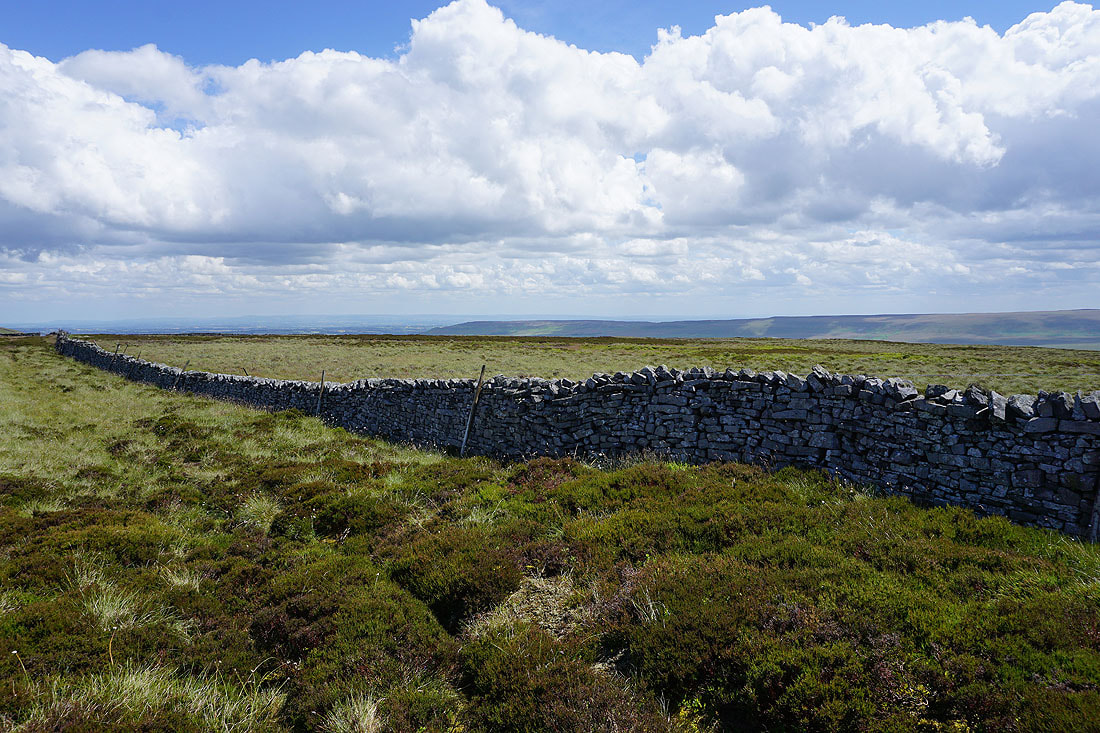
Looking across Coverdale to Braithwaite Moor
Middleham High Moor below as I take the bridleway up onto Penhill
There's a steep climb to reach Penhill Beacon
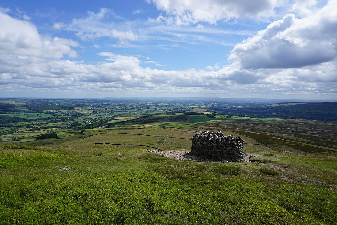
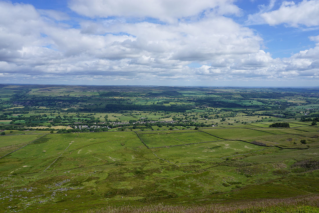
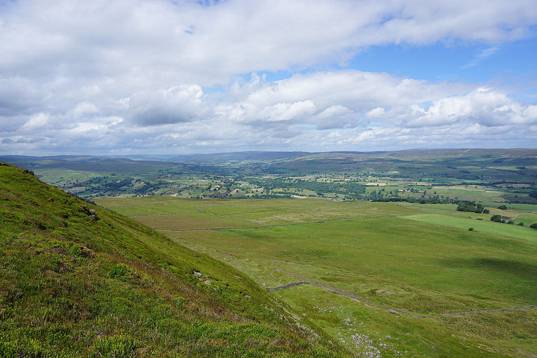
At Penhill Beacon and there's a great view to the east, with Coverdale joining Wensleydale beyond Middleham Low Moor, and the North York Moors can be made out in the distance on the other side of the Vale of Mowbray.
Looking southeast across Coverdale to Arkleside Moor and Little Whernside
The village of West Witton below in Wensleydale
Wensleydale from Penhill Scar..
On Black Scar. Looking west up Wensleydale to Askrigg Common, Ivy Scar and Carperby Moor..
..and across Wensleydale to Carperby Moor, Redmire, and Redmire Moor
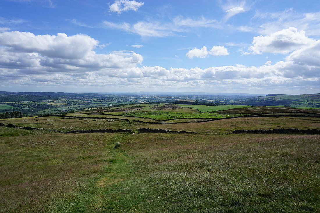
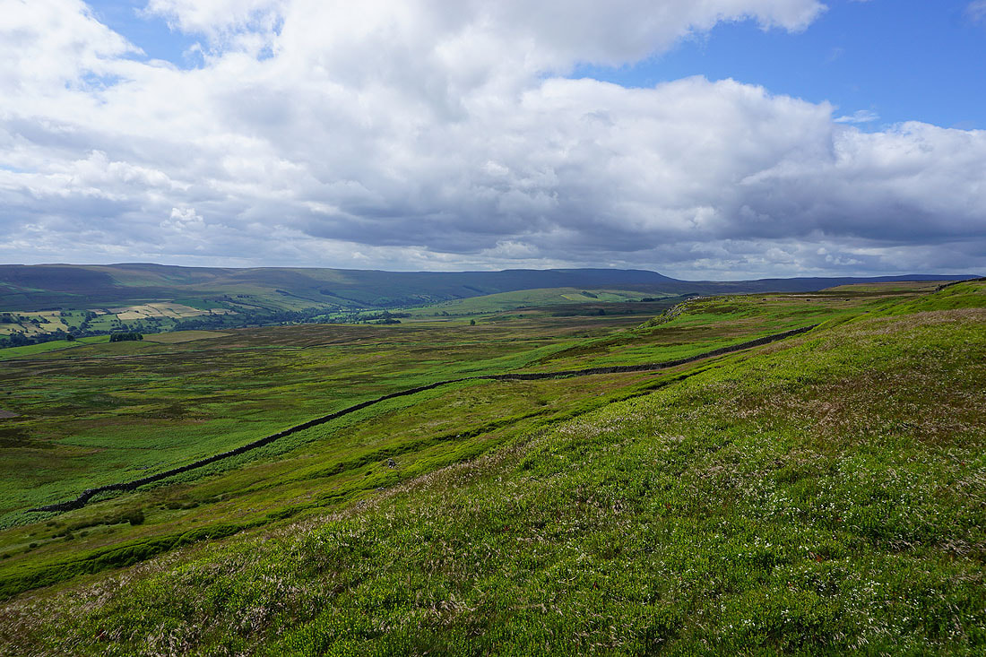
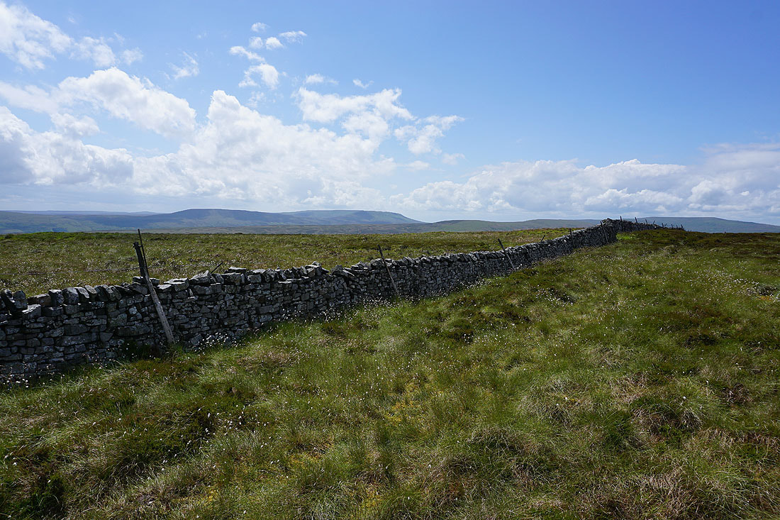
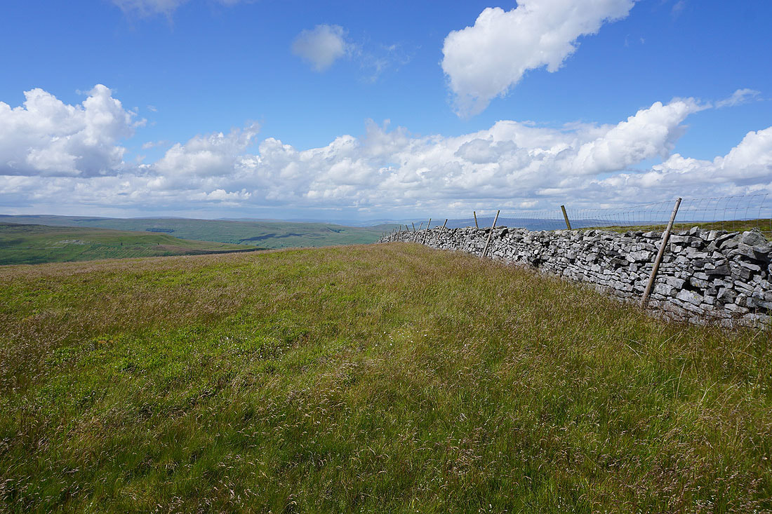
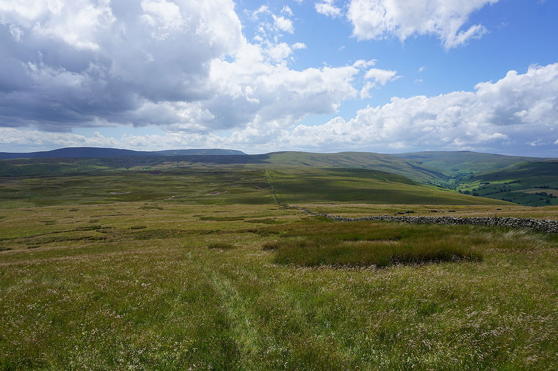
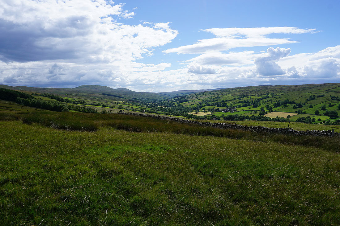
As the path contours to the southwest along the edge of the moor the fells around Waldendale and Bishopdale come into view
Looking west across the foot of Bishopdale and up Wensleydale to Addlebrough, Abbotside Common, Askrigg Common and Carperby Moor
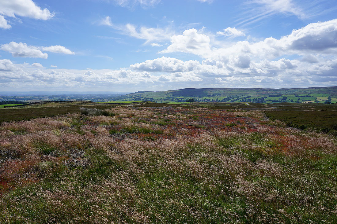
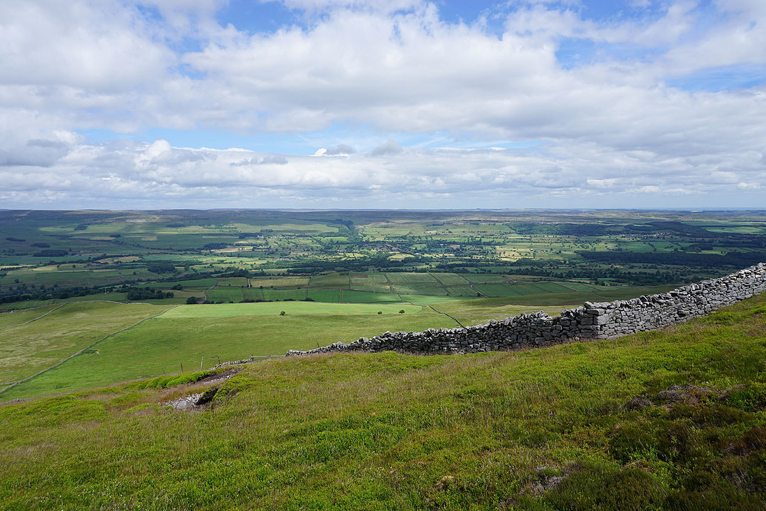
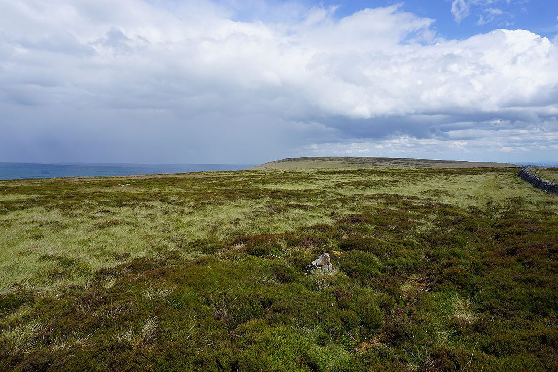
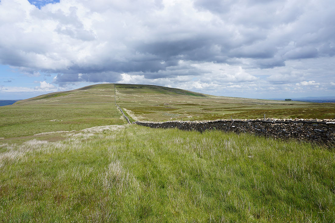
A short time later and I'm at the rather uninspiring summit of Height of Hazely
Heading south for Harland Hill with Great Whernside in the distance, and it looks like a shower might be on the way..
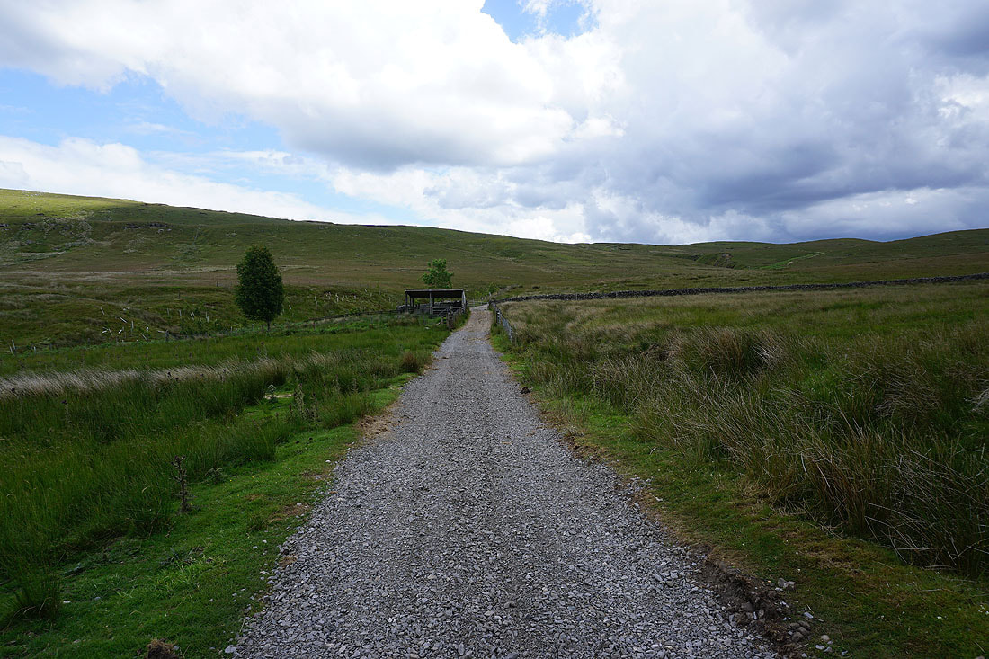
The bridleway between Waldendale and Coverdale
The shower passed through while I was on my way up Harland Hill, and it's cleared to leave sunny spells and fair weather clouds
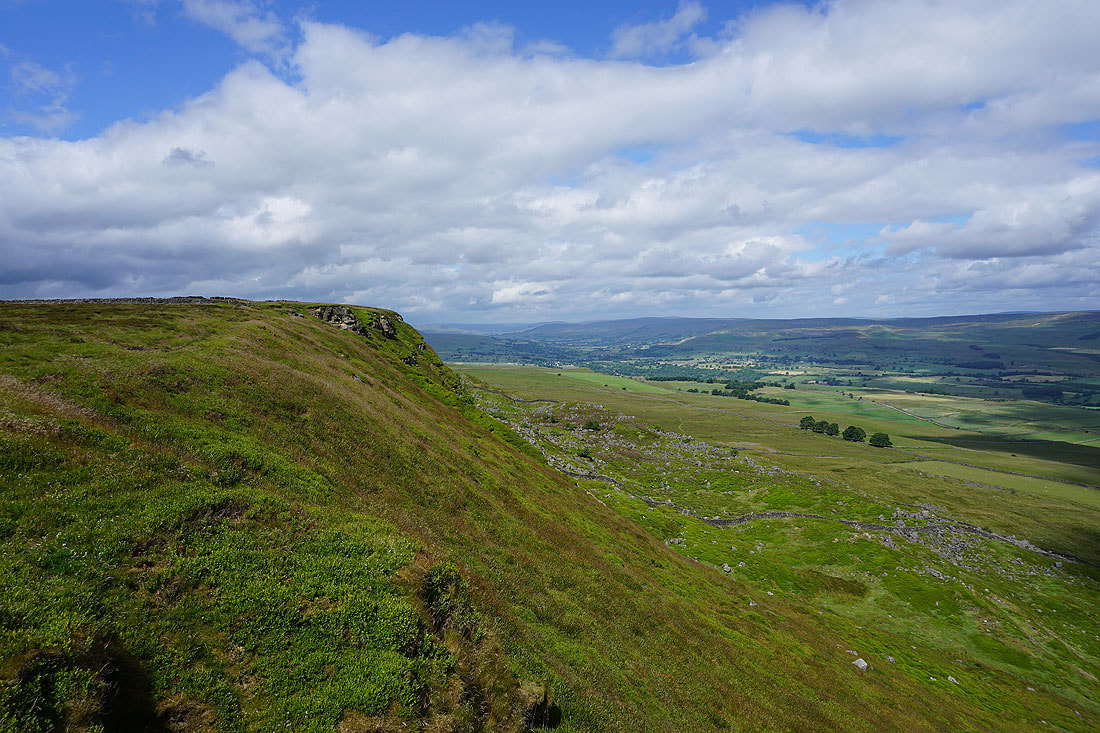
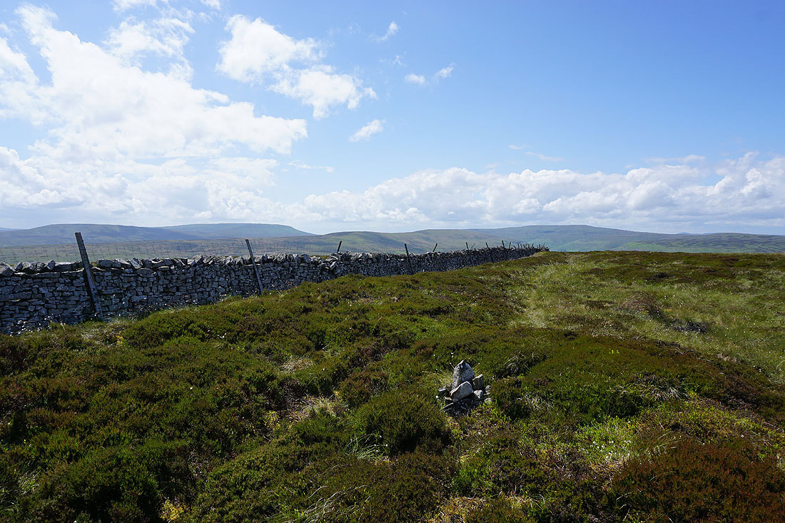
At the small collection of stones that mark the top of Harland Hill. Height of Hazely to the north, along with the shower that's just passed through.
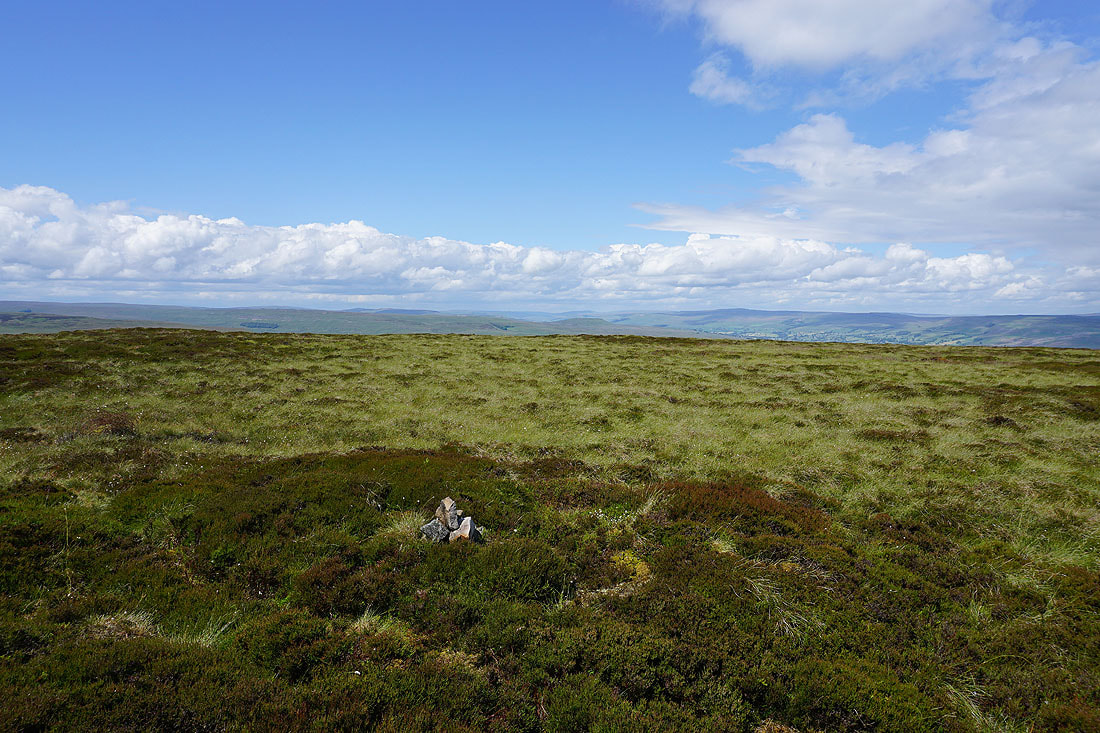
Looking west to Stake Fell, Addlebrough, Lovely Seat, and the moors around Bishopdale and Wensleydale
Great Whernside and Buckden Pike
Braithwaite Moor on the other side of Coverdale
Looking across Waldendale and Bishopdale to Wasset Fell and Stake Fell
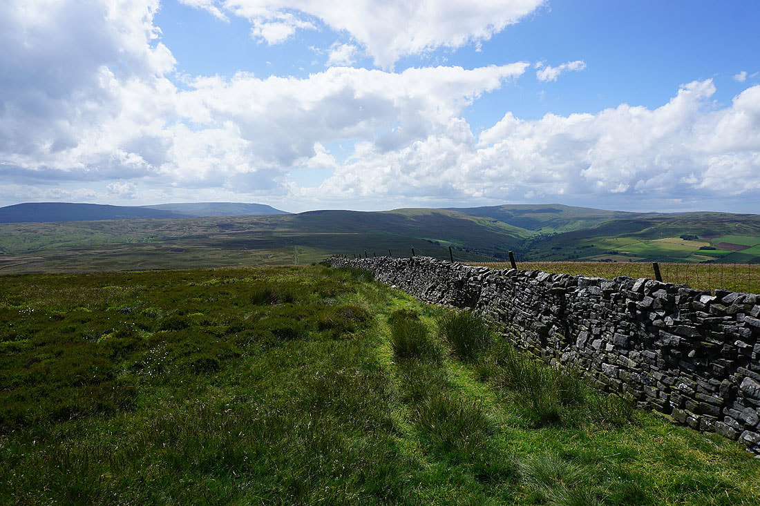
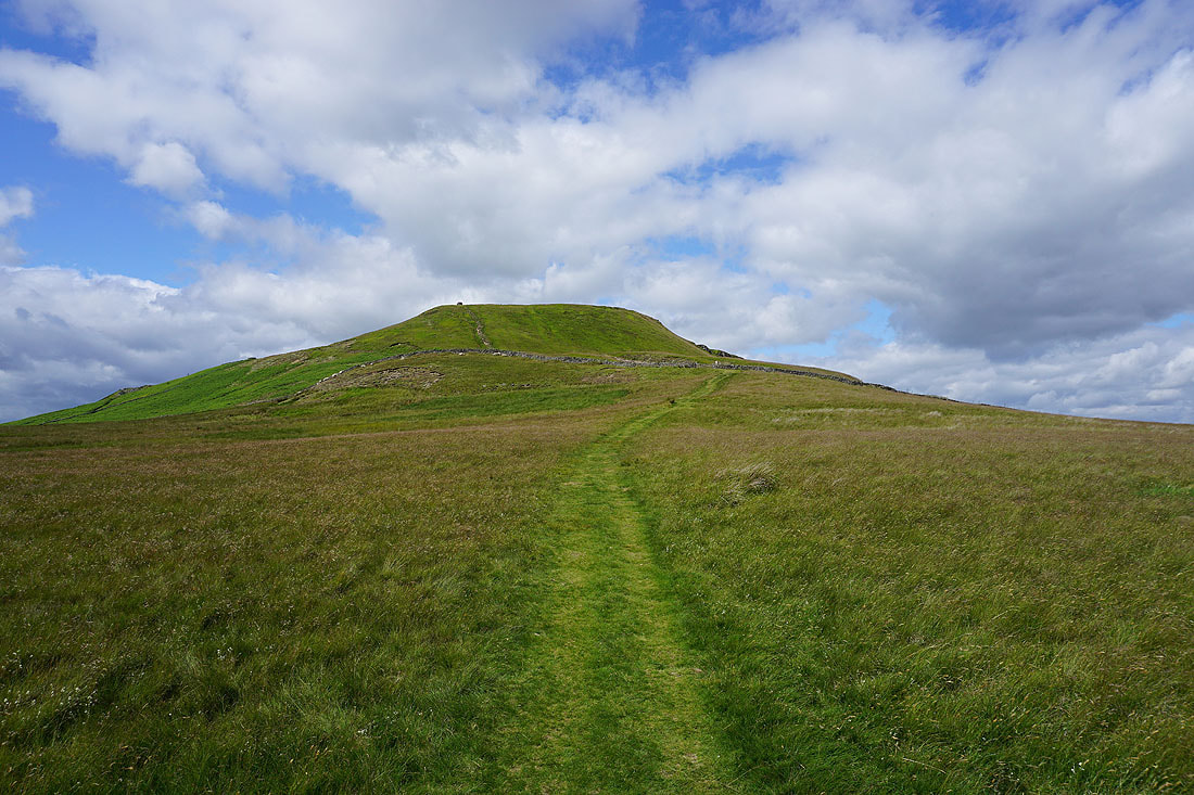
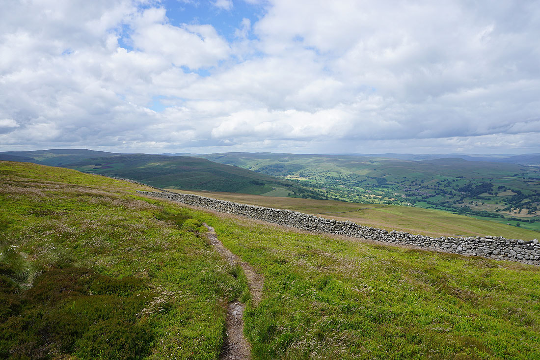
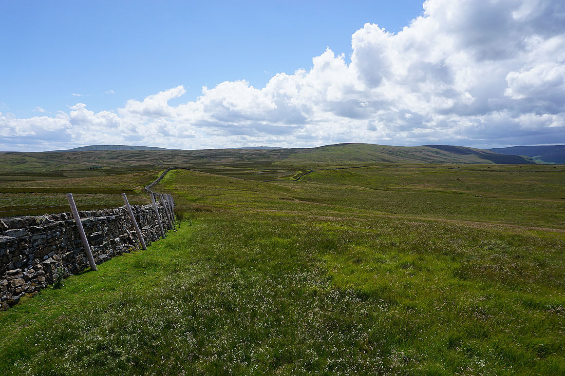
Heading south from Harland Hill to pick up the bridleway across Fleensop Moor. I have a great view of Buckden Pike at the head of Waldendale..
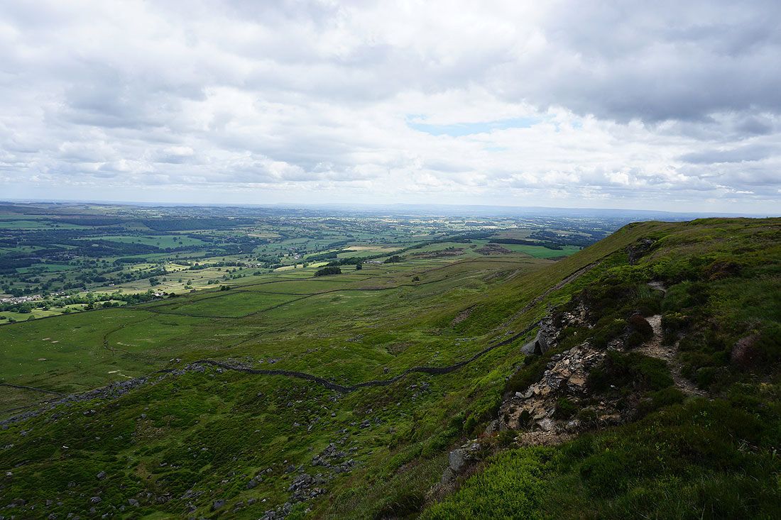
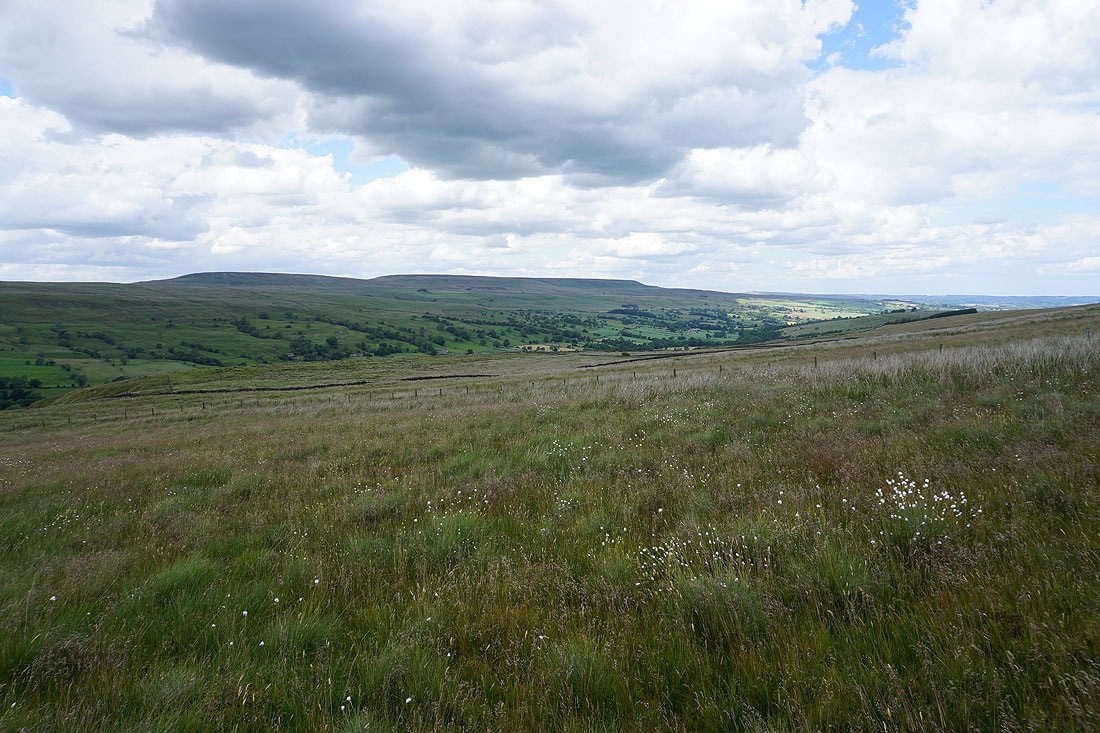
The broad expanse of Fleensop Moor ahead
Looking back to Harland Hill
The final descent from Harland Hill to pick up the bridleway across Fleensop Moor to Coverdale..
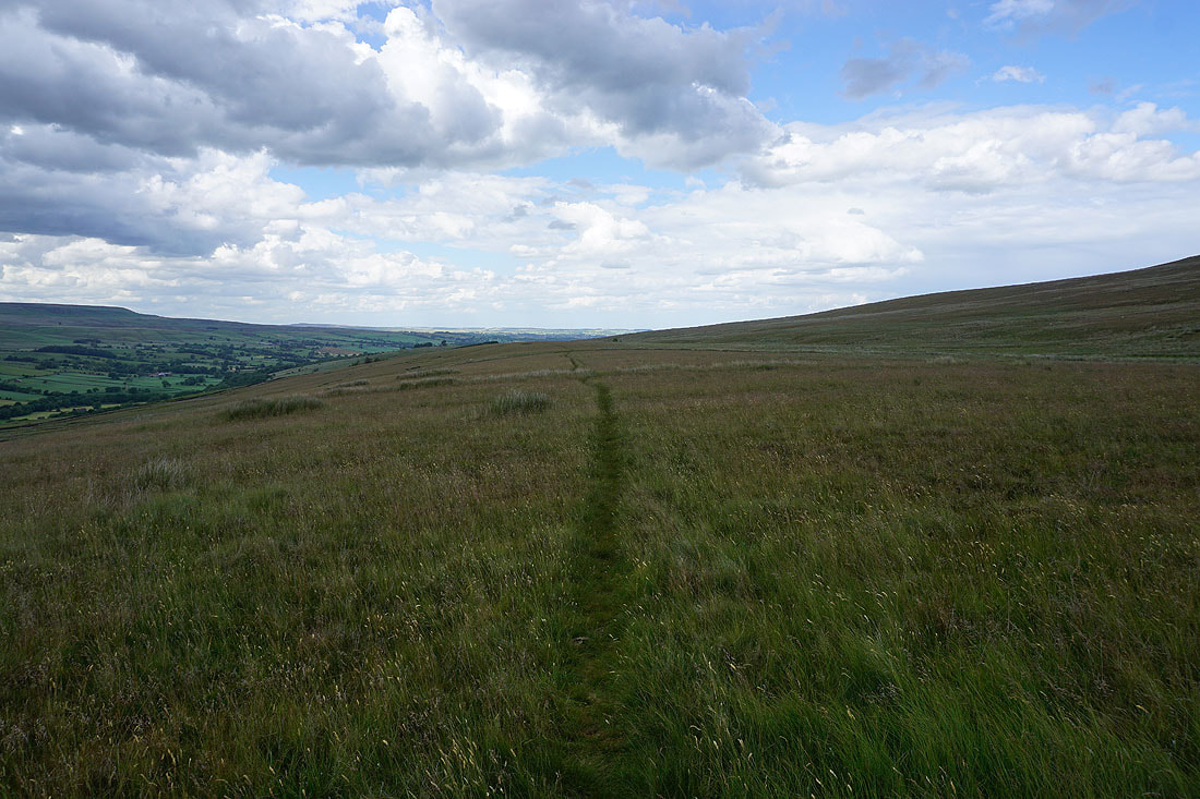
Heading south on the bridleway across Fleensop Moor
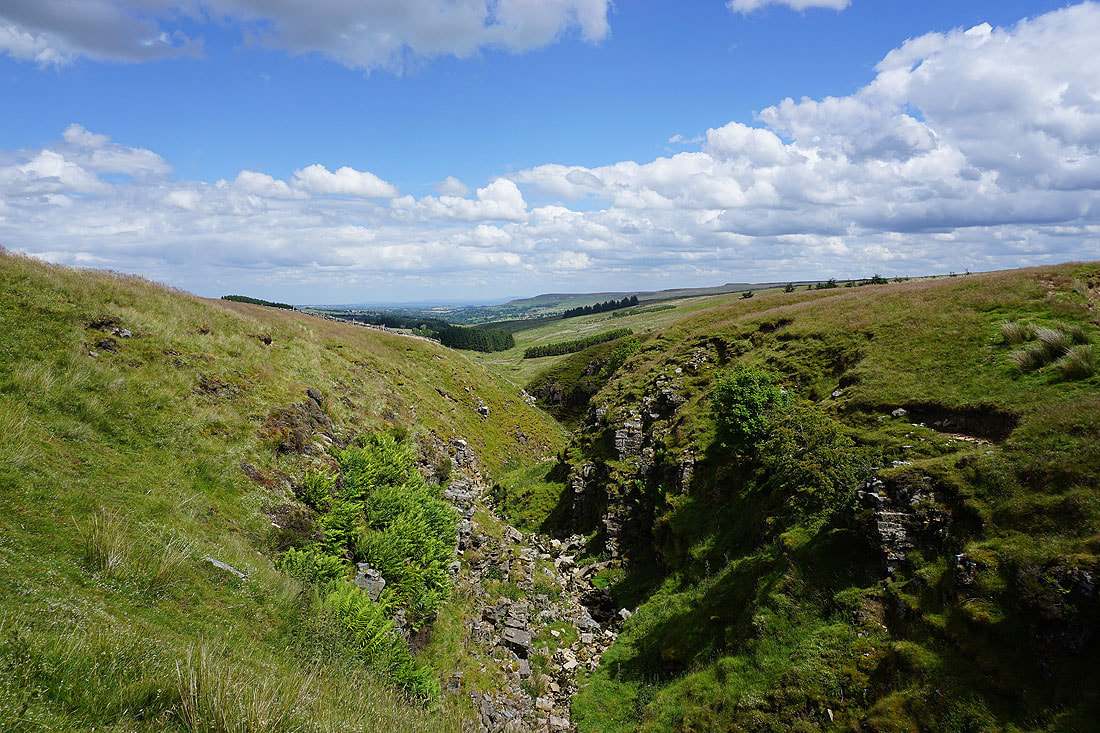
Crossing the top of Elm Gill
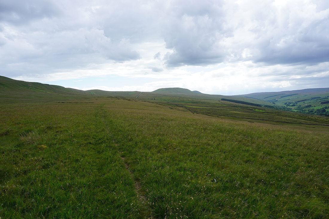
Looking back north across Fleensop Moor
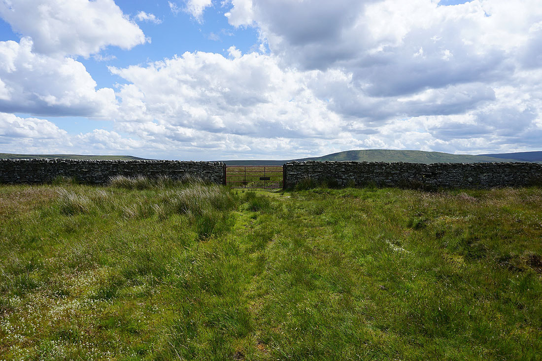
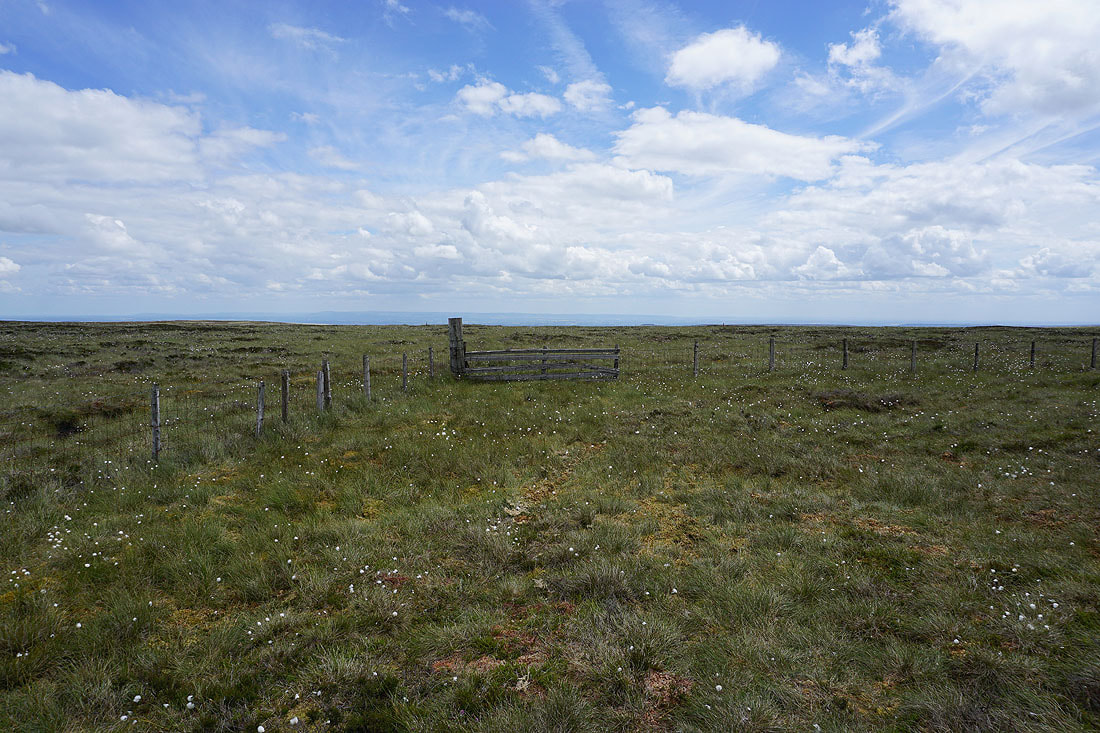
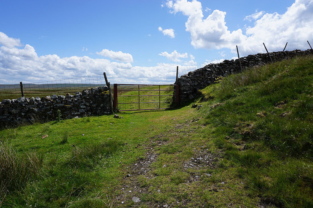
Reaching this gate means that the bridleway will start to descend into Coverdale
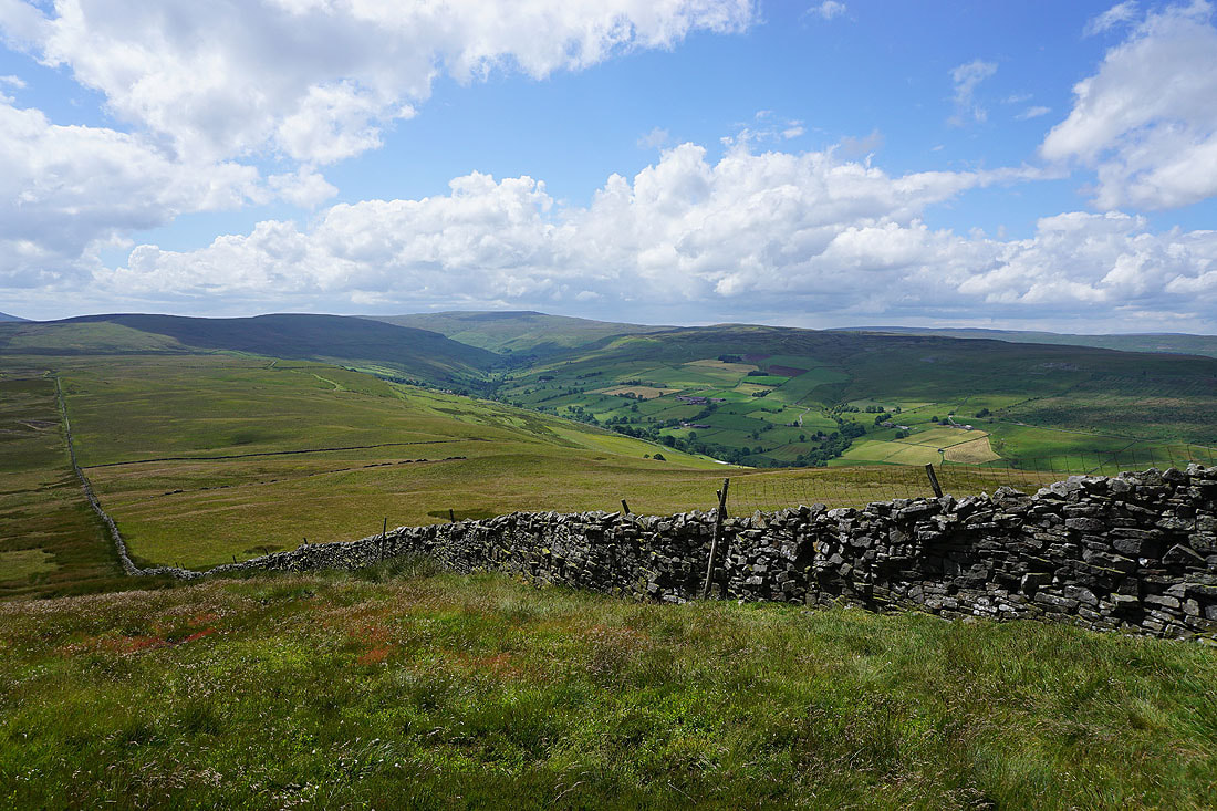
One last look back across Fleensop Moor to Harland Hill. Looks great under the blue skies and fluffy clouds.
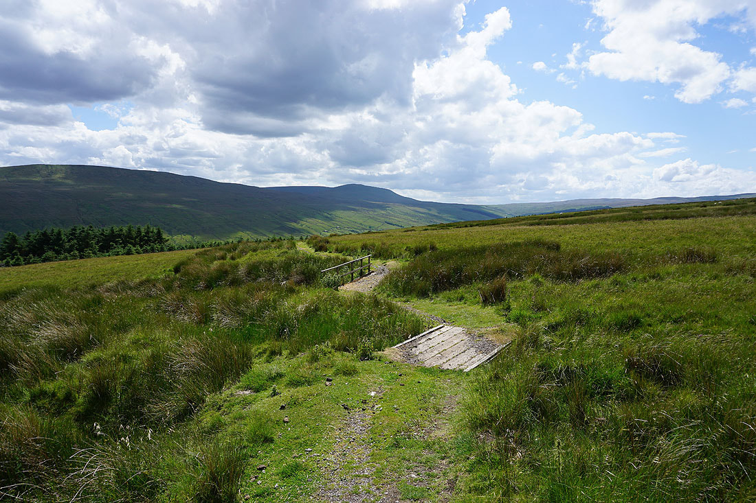
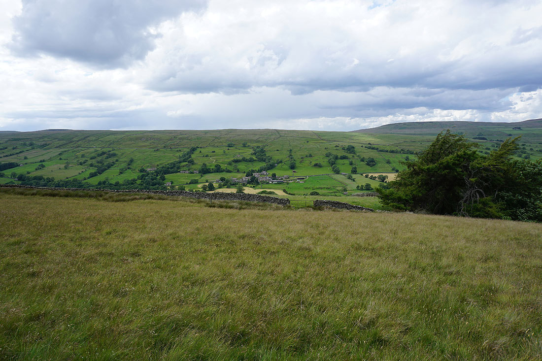
Following the bridleway down to Braidley in Coverdale..
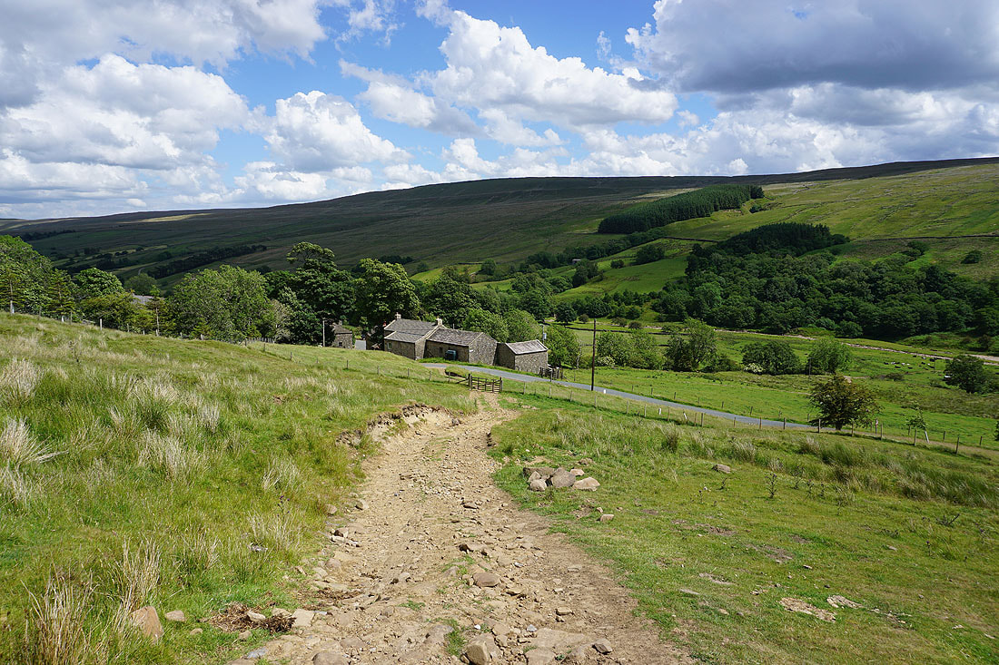
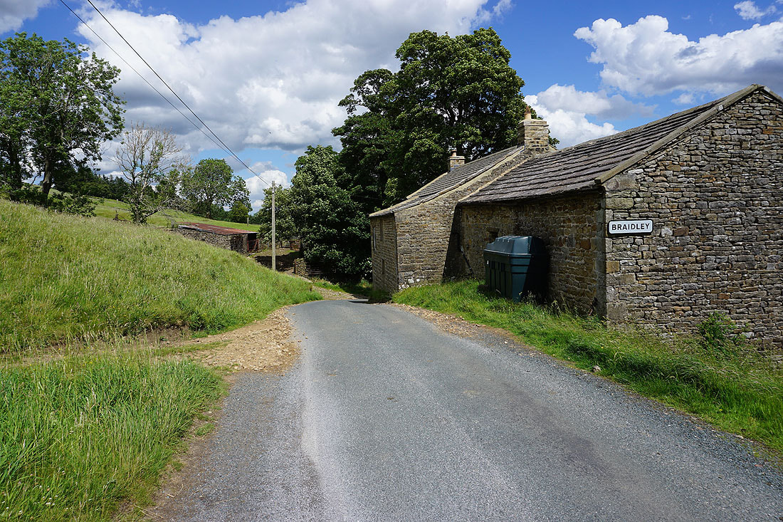
In the hamlet of Braidley. I'll cross the road from the bridleway to take a footpath down to the River Cover.
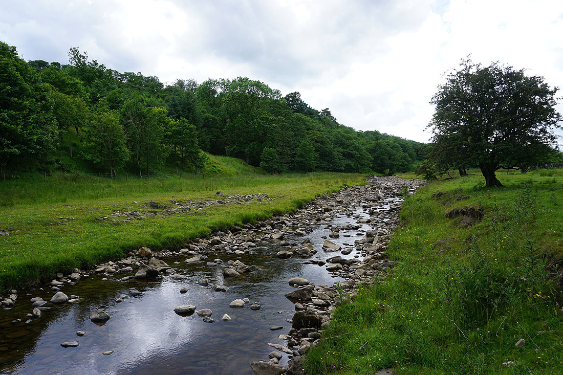
By a low River Cover
|
|
Across the River Cover and then onto the footpath towards Arkleside..
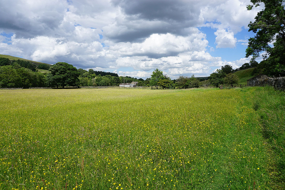
Buttercup filled fields in Coverdale
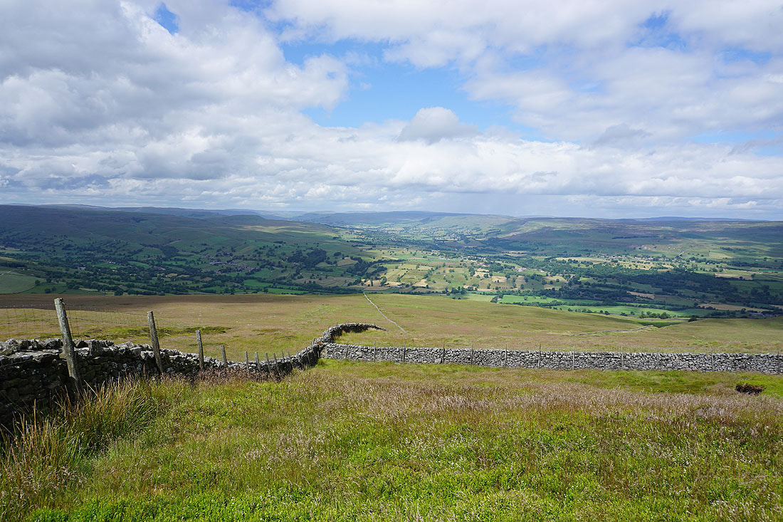
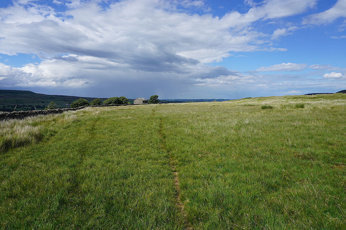
Arkleside and Coverdale below as I take the byway that crosses the moors to Nidderdale
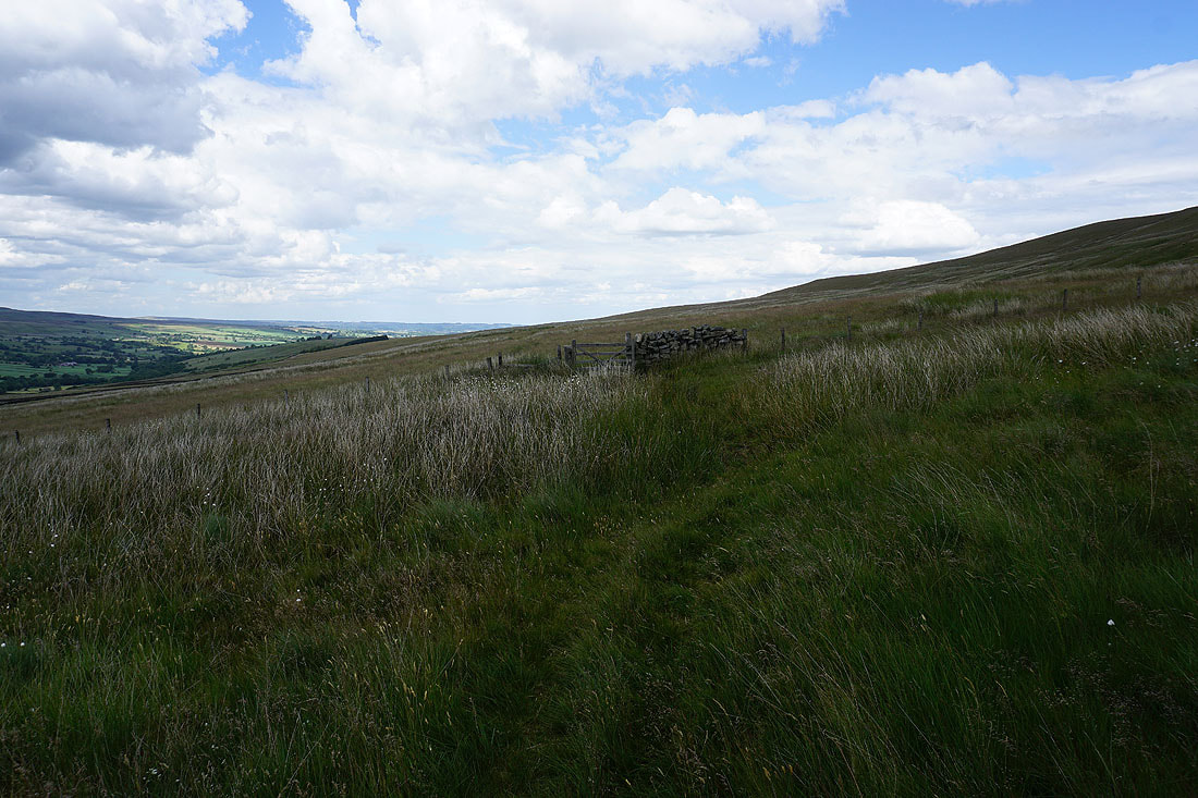
At the sheepfolds up ahead I'll leave the track and take the bridleway on the left to Swineside
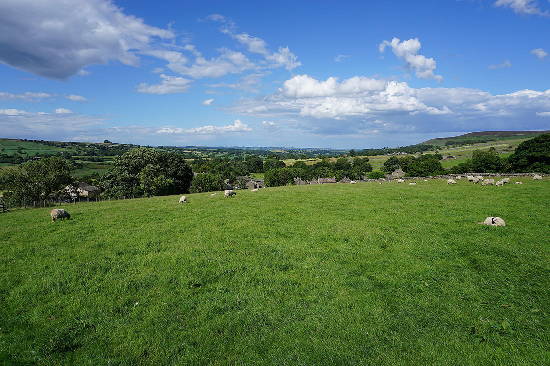
Looking across Coverdale to Harland Hill and Height of Hazely
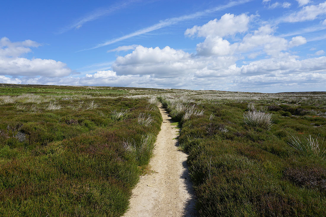
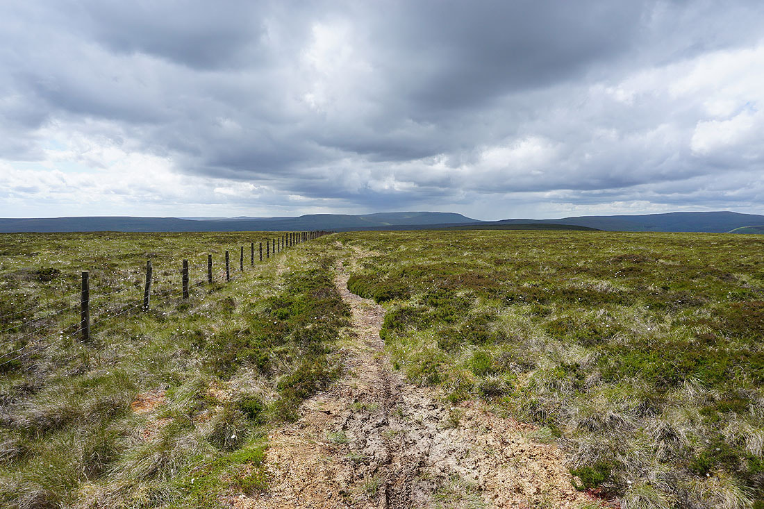
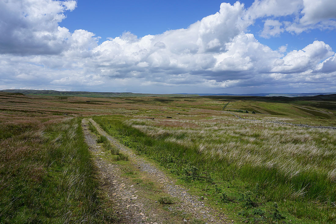
Following the bridleway northeast across Hindlethwaite Moor isn't too difficult..
Looking back across Hindlethwaite Moor to Little Whernside
and across Coverdale to the hamlet of Horsehouse and Horsehouse Moor
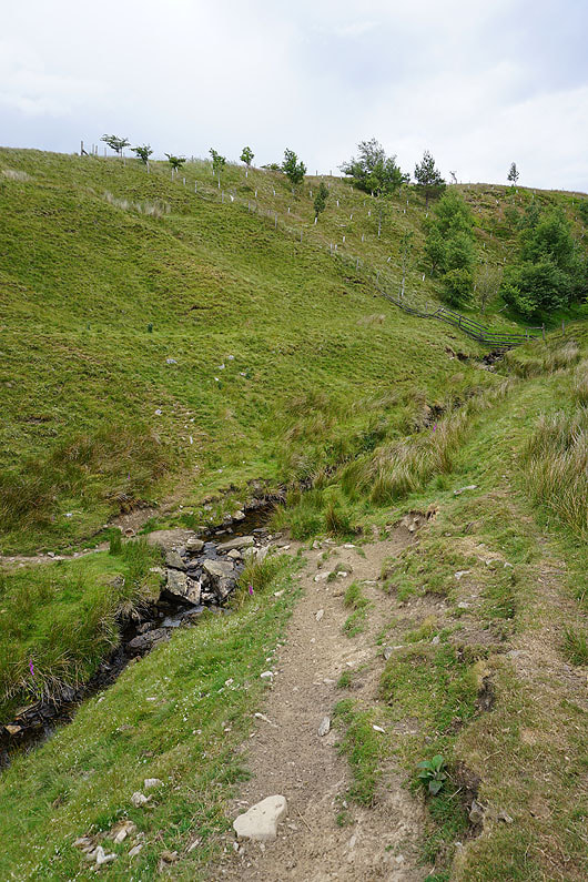
Crossing Hindlethwaite Gill
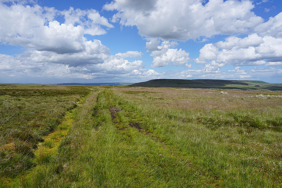
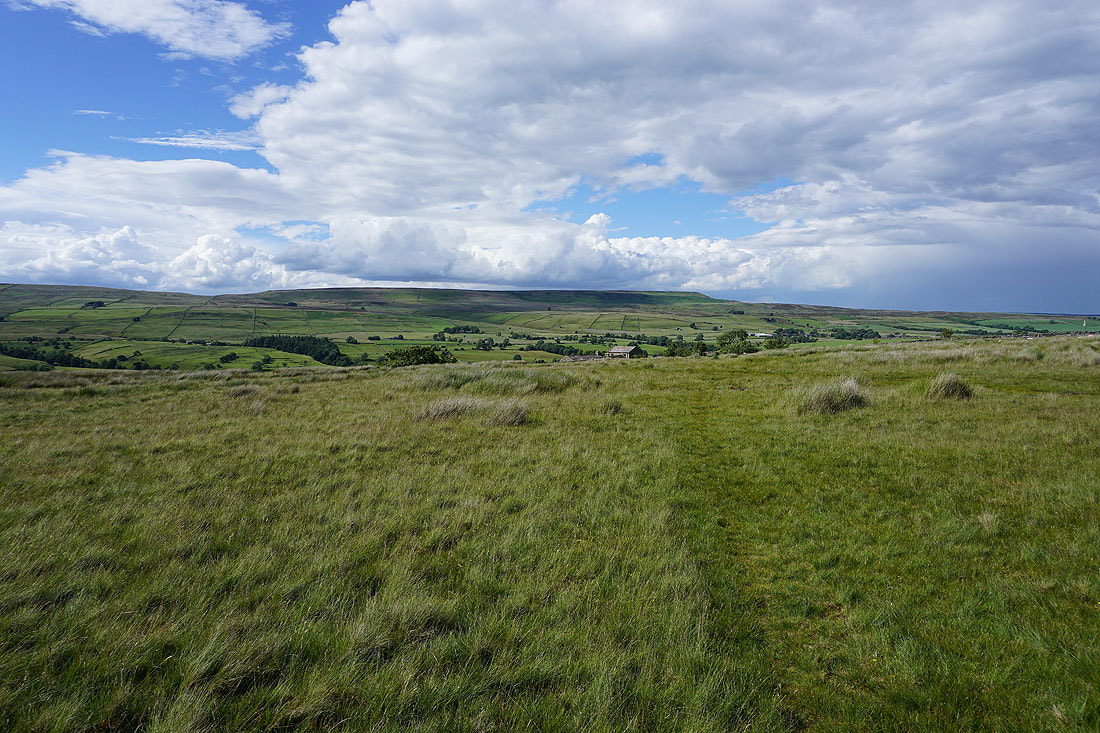
After crossing Hindlethwaite Gill I head north across Swineside Moor
There's a great view of Little Whernside and Coverdale from here
On the bridleway across Swineside Moor with views across Coverdale to Height of Hazeley and Melmerby Moor..
From the hamlet of Swineside I have a walk down the road to West Scrafton
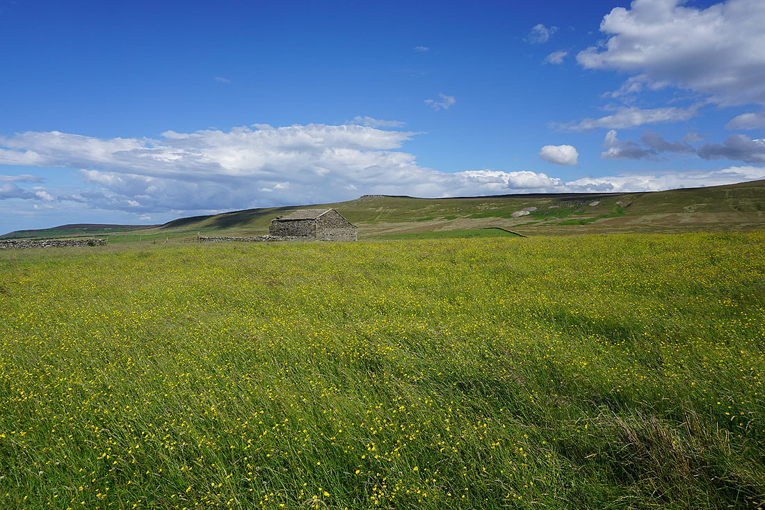
Great Roova Crags above buttercup filled fields
It's a lovely end to a summer's afternoon in Coverdale...
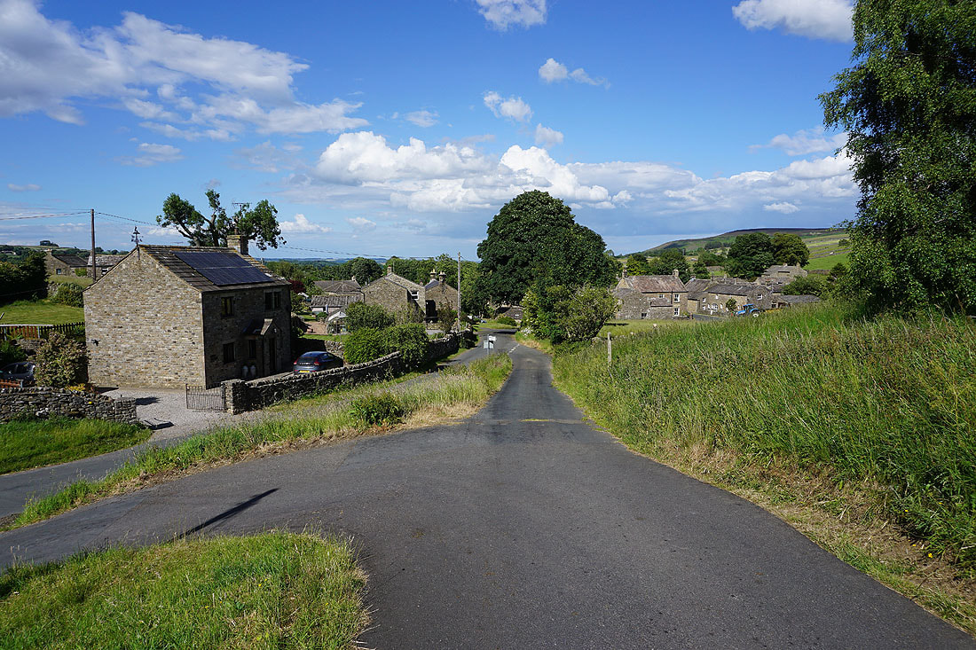
In the village of West Scrafton
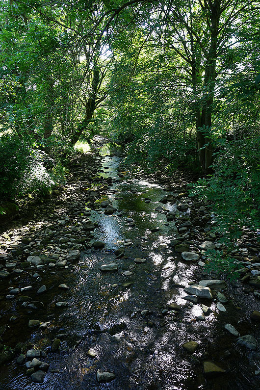
Crossing the River Cover
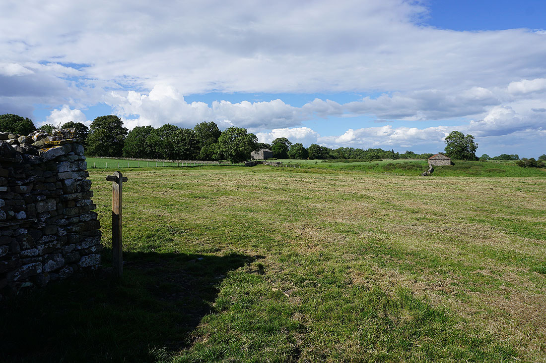
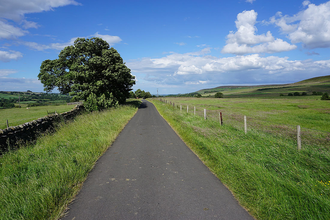
After crossing the River Cover a footpath up through fields will take me back to Carlton
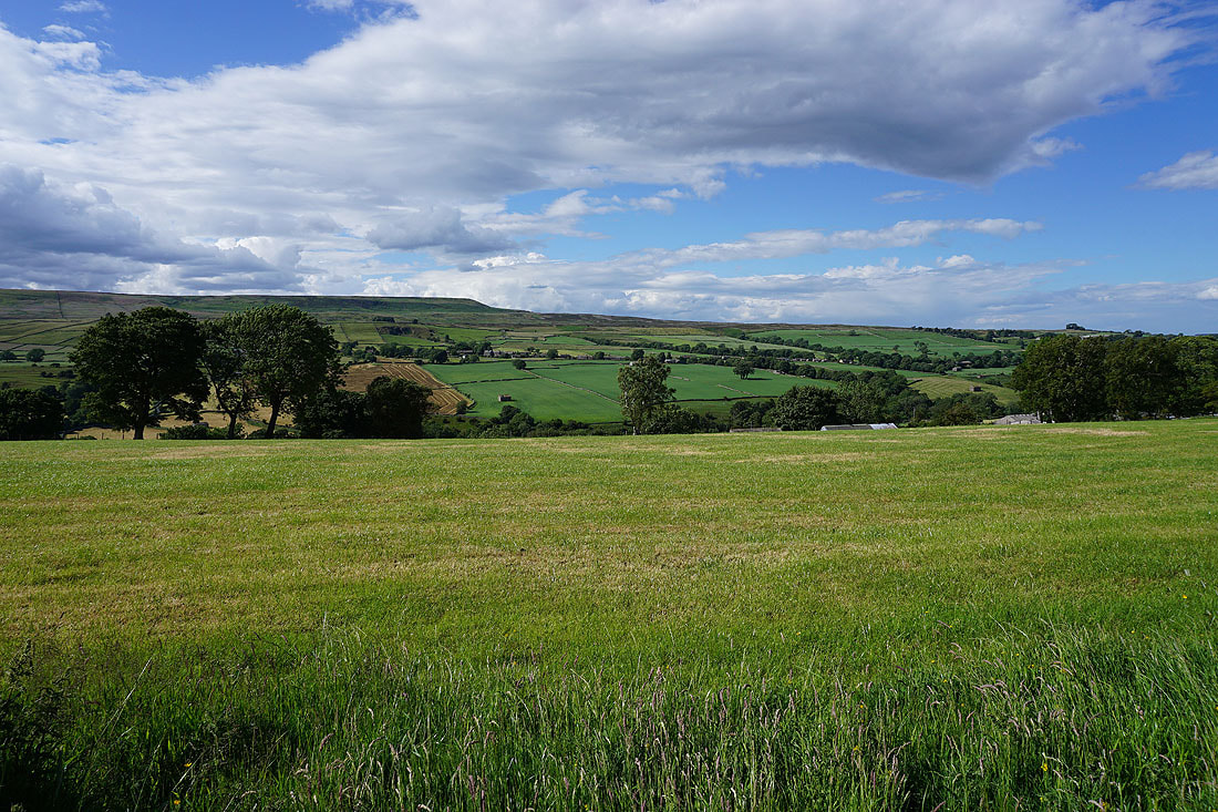
A last look across Coverdale to Great Roova Crags, West Scrafton, and West Scrafton Moor as I make it back to Carlton