25th March 2012 - The High Stile Ridge
Walk Details
Distance walked: 9.9 miles
Total ascent : 3556 ft
OS map used: OL4 - The English Lakes, North-western area
Time taken: 6.5 hrs
Route description: Buttermere-Scales-Scale Force-Lingcomb Edge-Red Pike-High Stile-High Crag-Gamlin End-Scarth Gap Pass-Peggy's Bridge-Gatesgarth Farm-path along north shore of Buttermere-Buttermere
The first day of a weeks holiday in the Lakes and the weather is set fair. Warm and sunny but it's hazy today so no long distance views.
From the National Trust car park in Buttermere I made my way across to Burtness Wood and the path to Scale Force. After having a look at the waterfalls I used the path above the falls to get upto Lingcomb Edge and then to the summit of Red Pike. It's then a great high level walk along the ridge to High Stile and High Crag. The descent down Gamlin End from High Crag is tricky with loose scree in places before the pitched path is reached. Once that was negotiated it was down to the Scarth Gap Pass and the path back to Buttermere along the north shore of the lake.
Route map
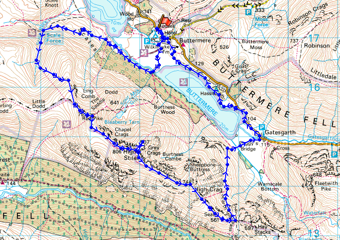
© Crown copyright. All rights reserved. License number PU 100034184.
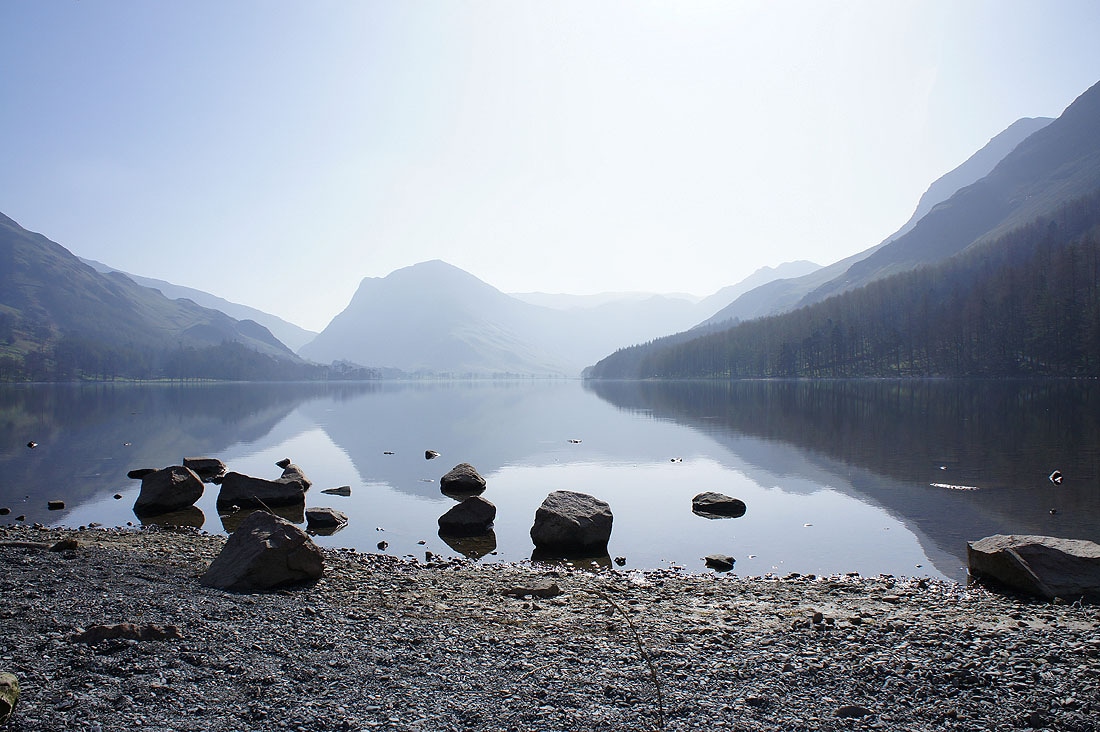
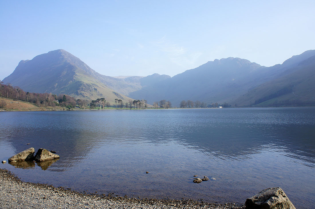
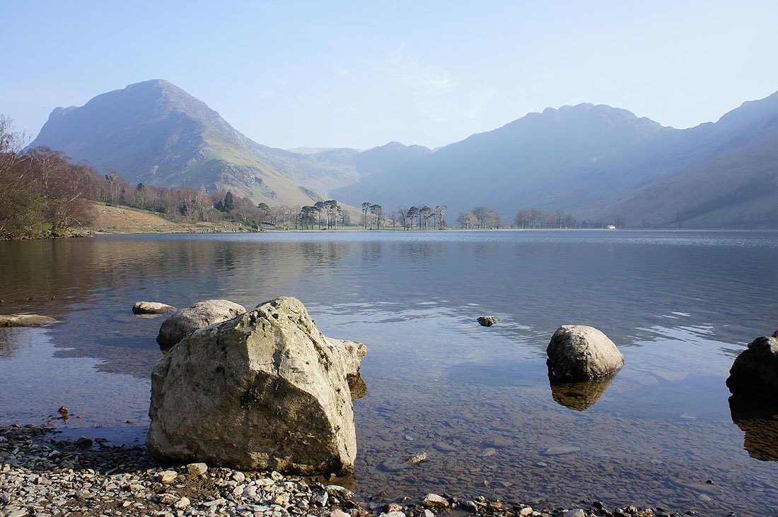
A beautiful start to my holiday in the Lakes
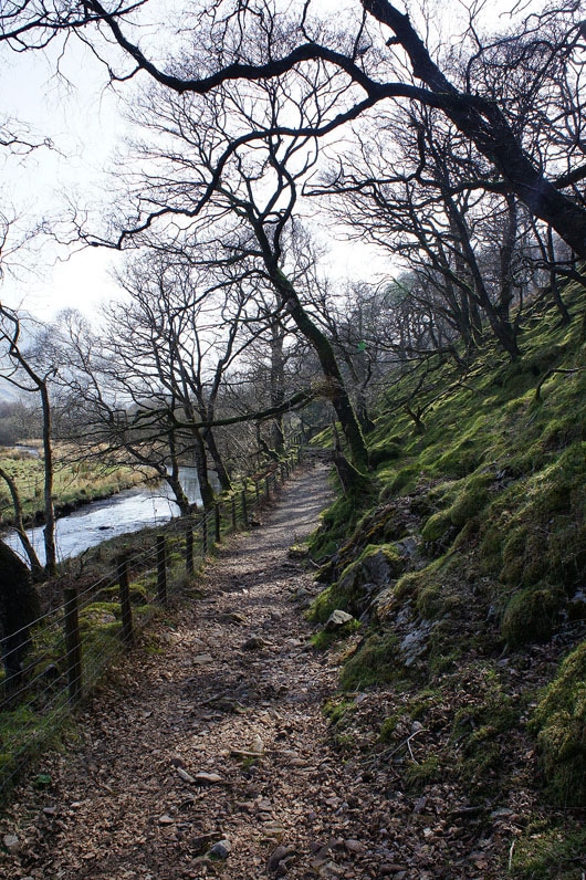
A look back on the path to Scale Force
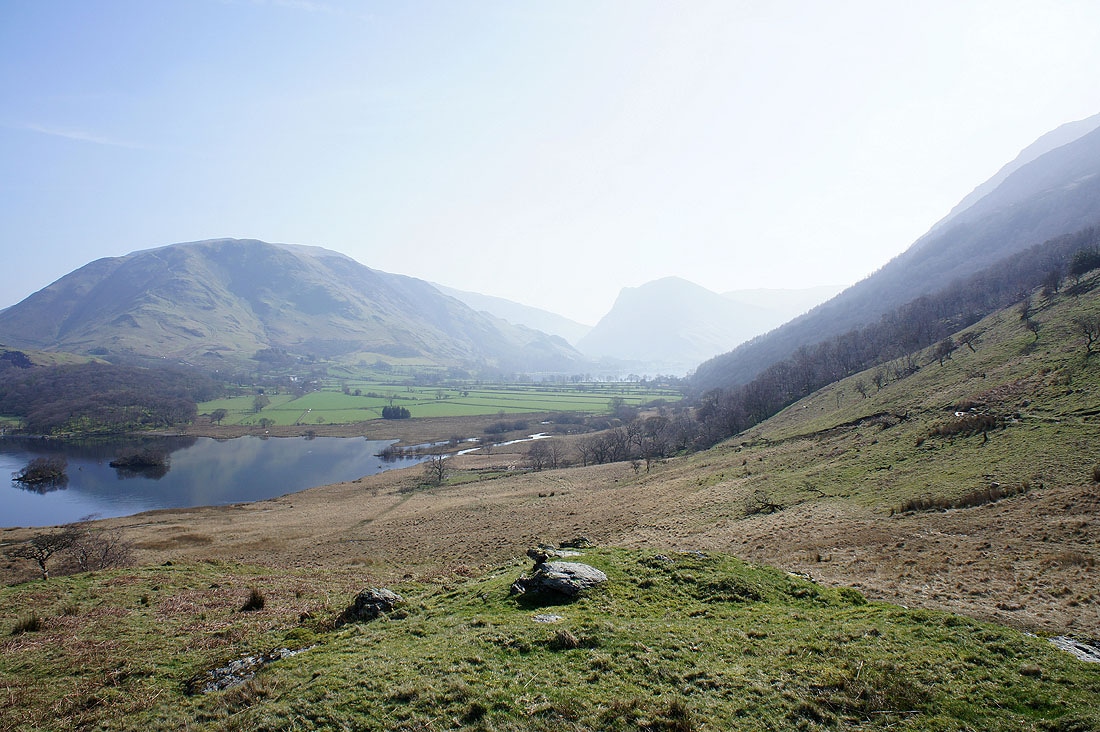
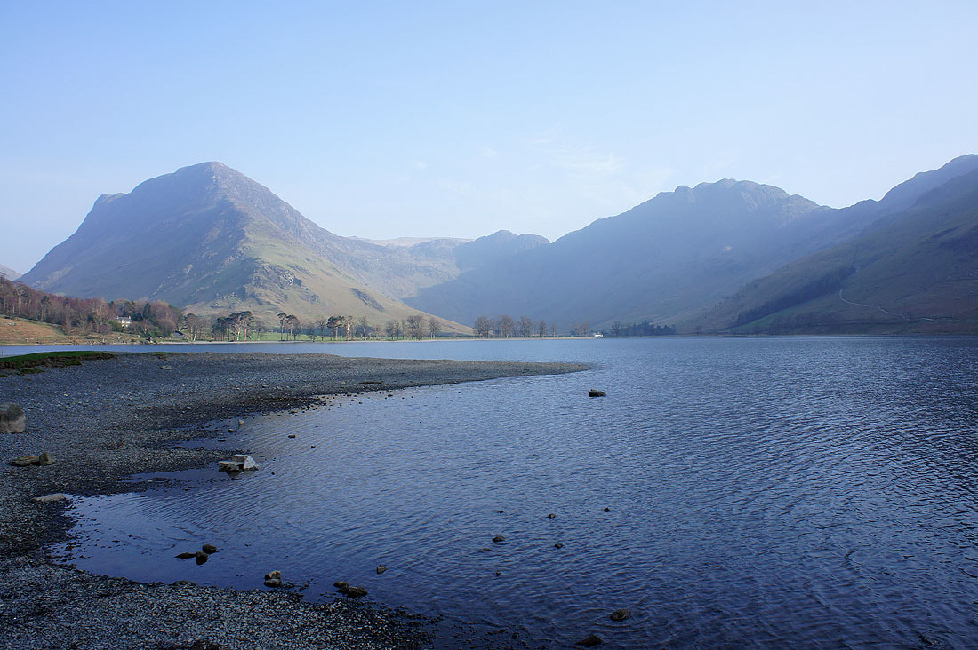
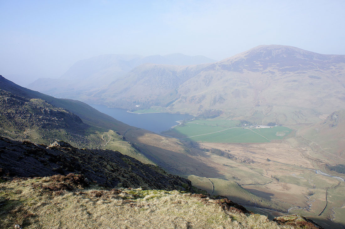
The view back to Buttermere
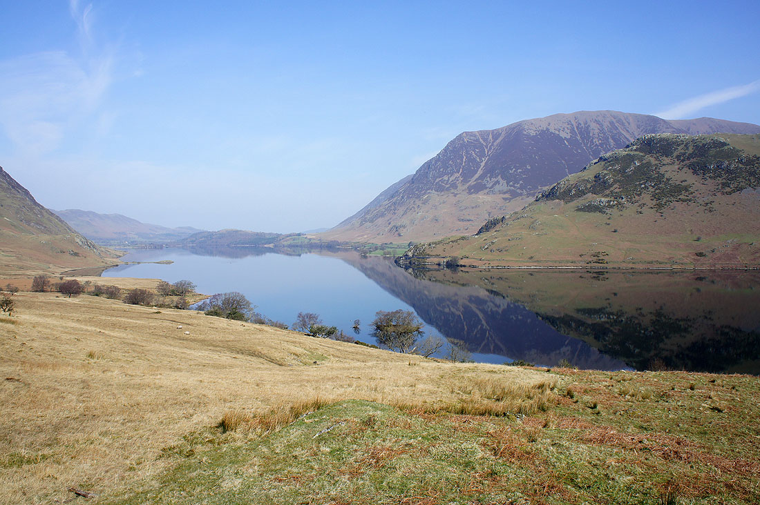
Grasmoor and Rannerdale Knotts reflected in Crummock Water
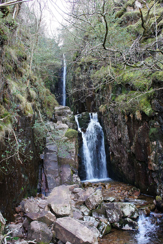
Scale Force
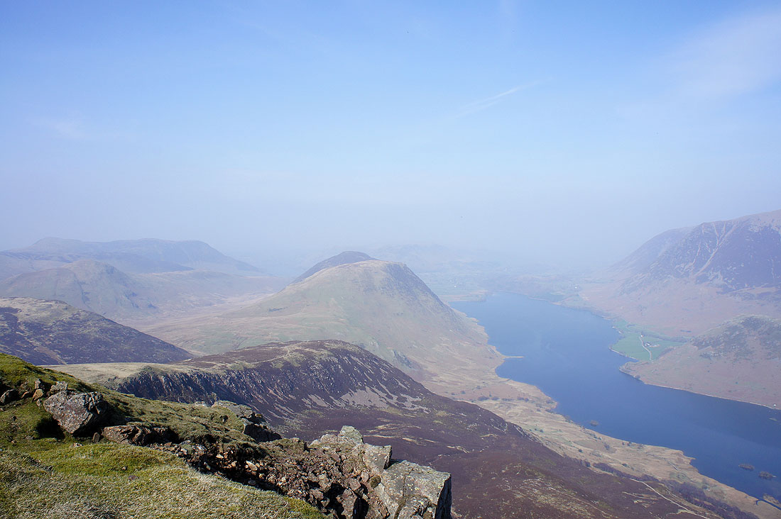
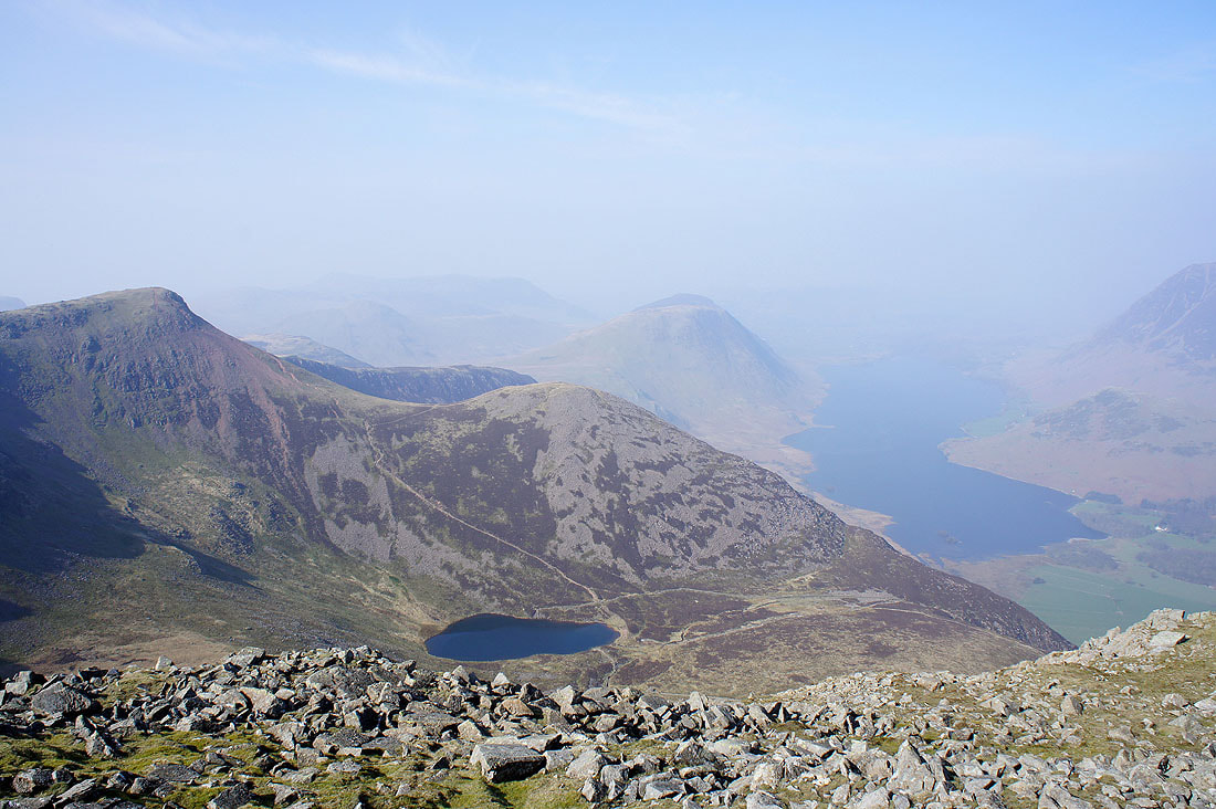
On the summit of Red Pike. The view down Lingcomb Edge to Mellbreak and Crummock Water.
Robinson, Hindscarth and Dale Head on the other side of Buttermere
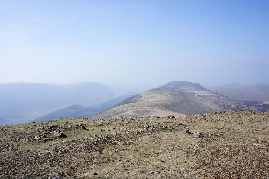
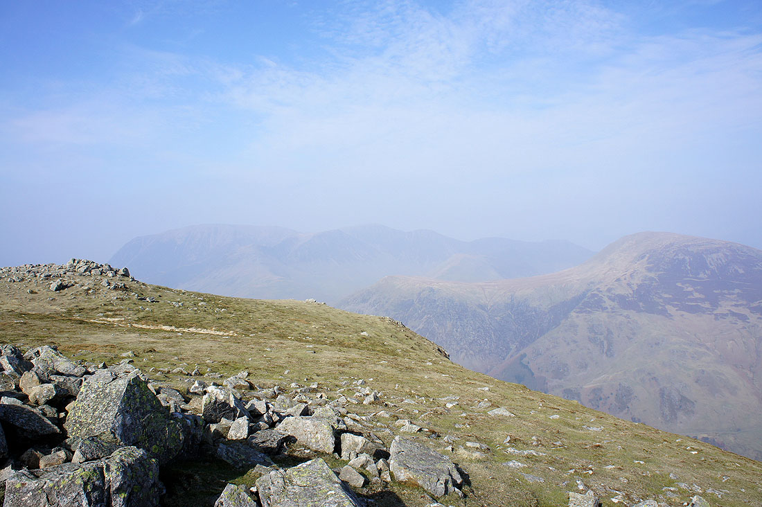
The ridge continues to the west to Starling Dodd and Great Borne
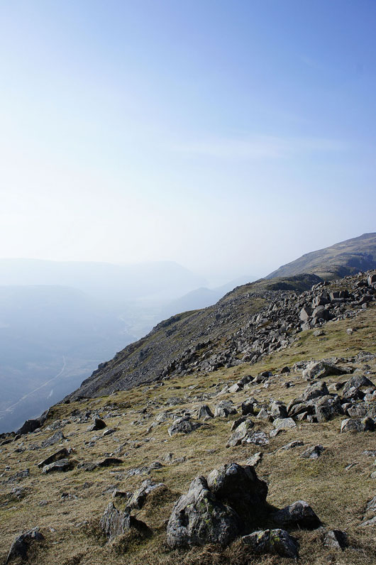
Next stop, High Stile
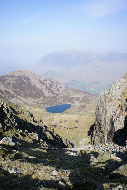
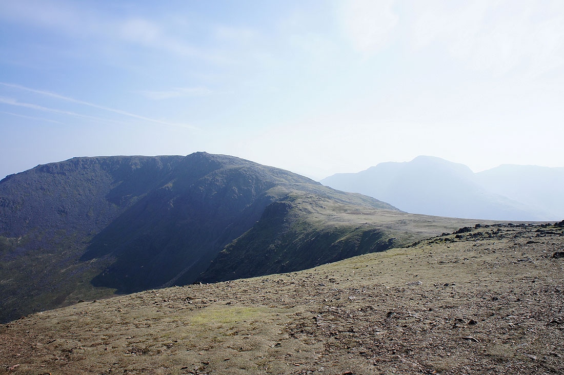
On route to High Stile and a view of Bleaberry Tarn down through Chapel Crags
On High Stile. Red Pike and the subsidiary summit of Dodd above Bleaberry Tarn.
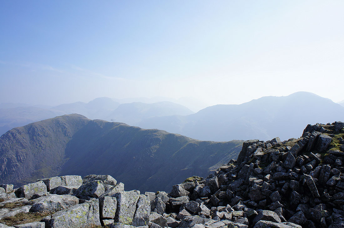
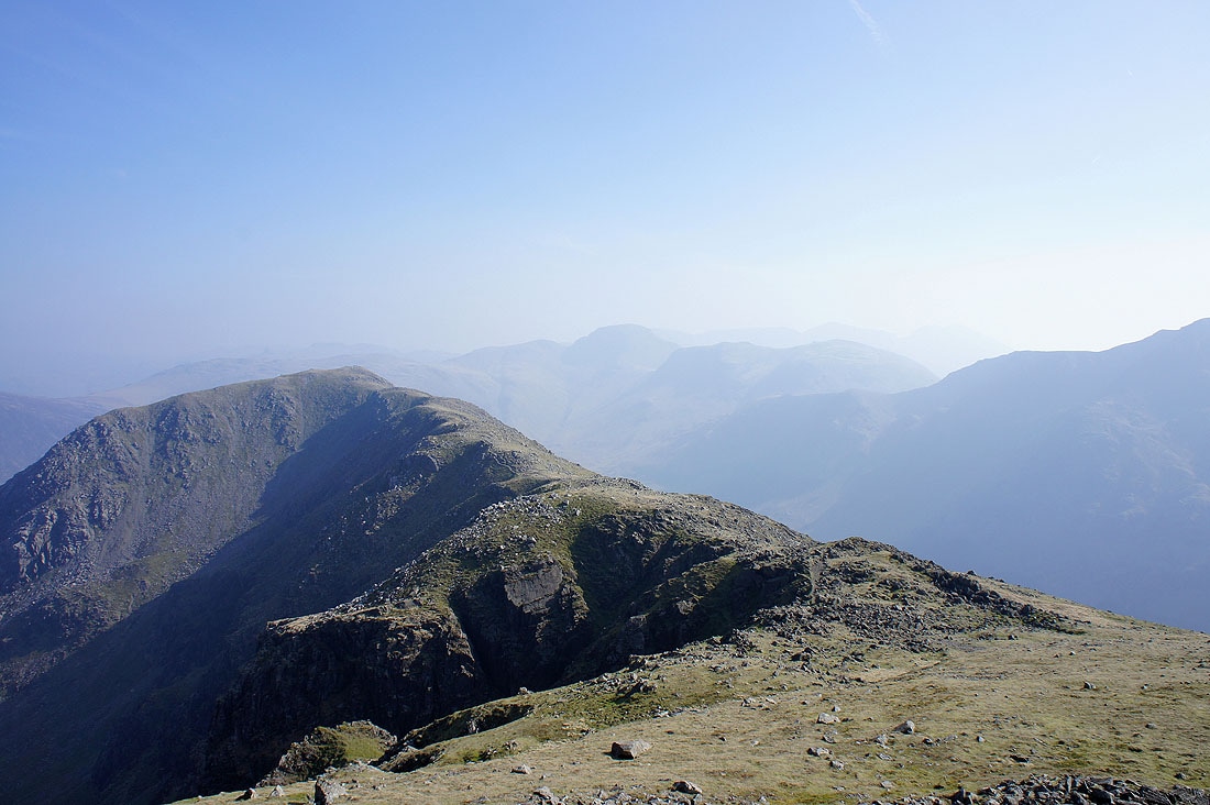
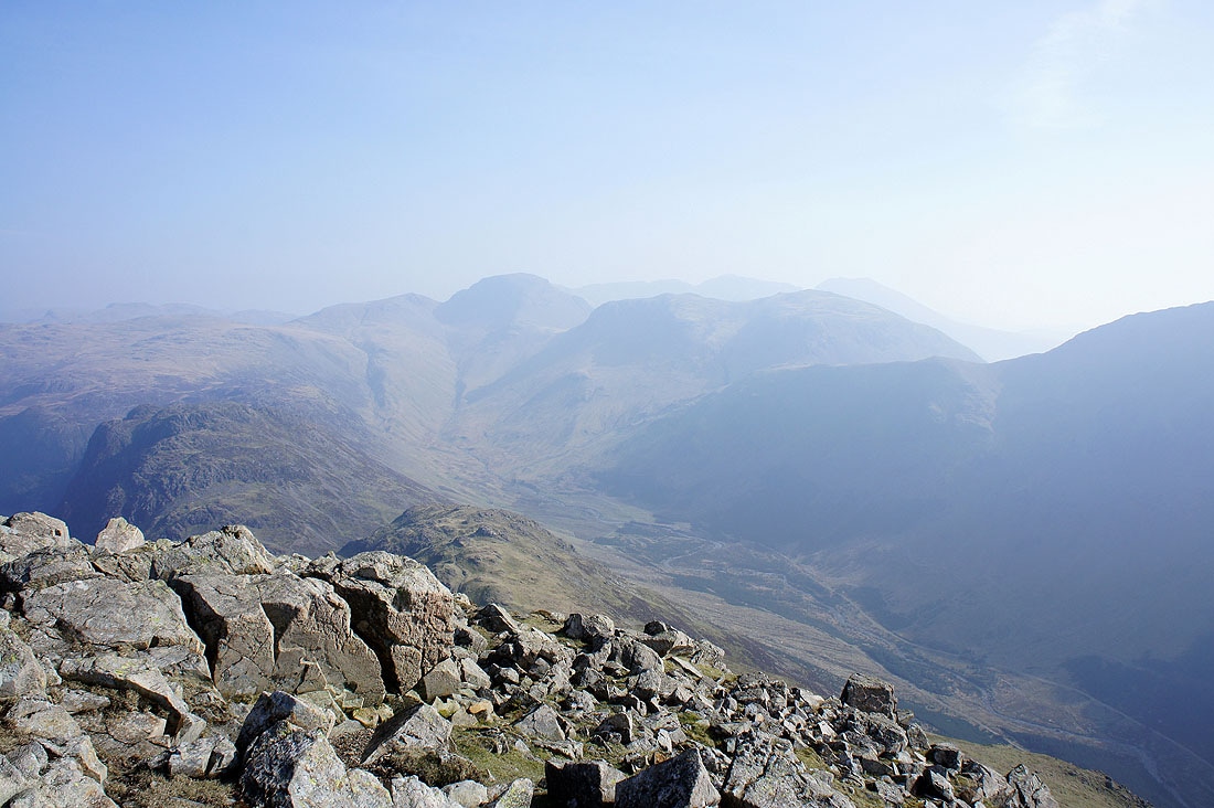
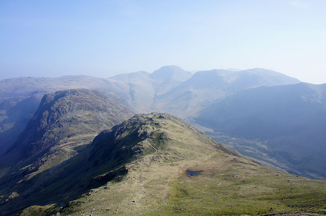
High Crag and Comb Crags with Great Gable and Pillar in the haze
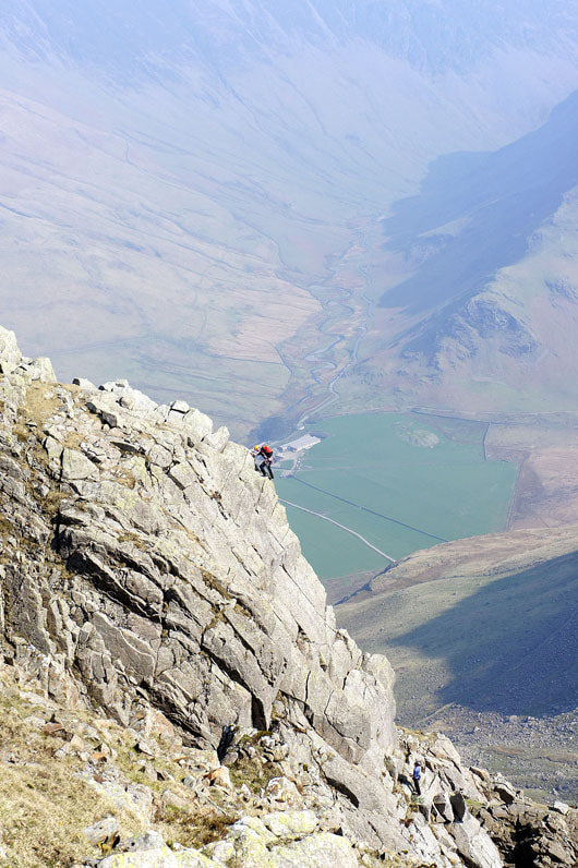
Climbing in Buttermere. On Grey Crag on the side of High Stile.
On route to High Crag
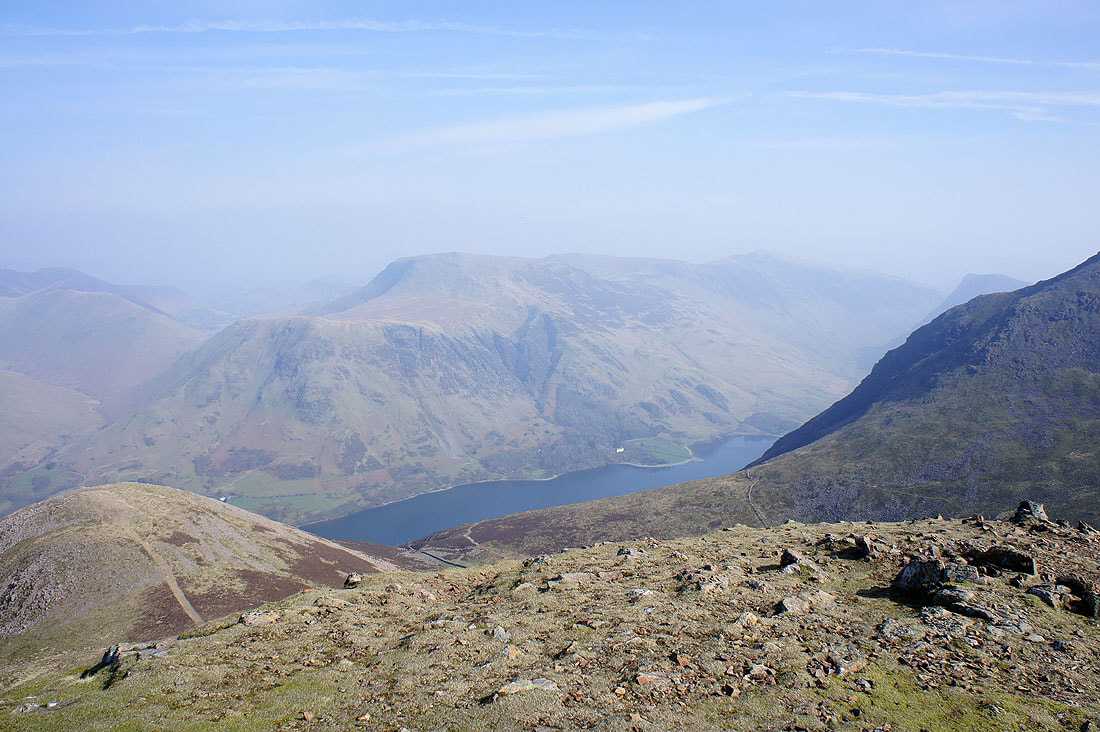
Hindscarth, Dale Head and Fleetwith Pike from High Crag
Grasmoor and Crag Hill just visible through the haze with Robinson closer on the right
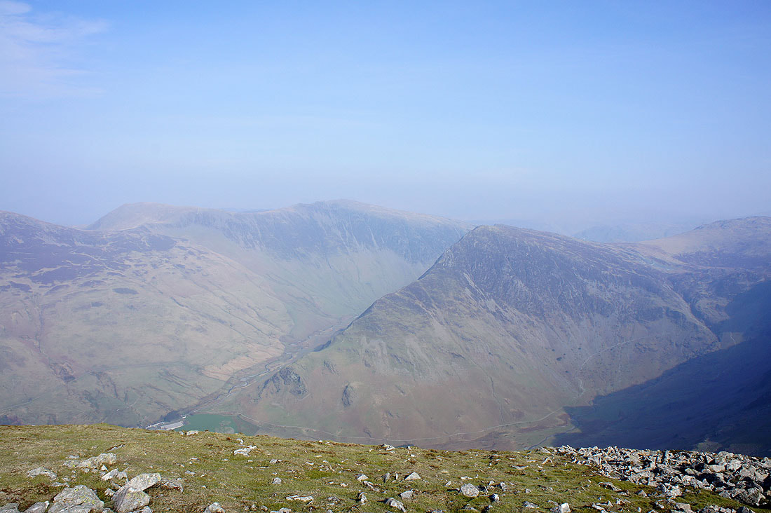
I'm about to descend Gamlin End from High Crag and there's a great view of Ennerdale with Great Gable at its head
Very hazy down Ennerdale to Ennerdale Water
On the way down Gamlin End with the fell of Seat in front and Hay Stacks behind on the other side of the Scarth Gap Pass
Buttermere below from Seat
Heading back to Buttermere by the north shore of the lake...