25th March 2017 - The Howgills
Walk Details
Distance walked: 11.5 miles
Total ascent: 2929 ft
OS map used: OL19 - Howgill Fells & Upper Eden Valley
Time taken: 7.5 hrs
Route description: B6257 in Beck Foot-Crook o'Lune Bridge-Four Lane Ends-Beck House-Whin's End-Fell Head-Breaks Head-Windscarth Wyke-Bush Howe-The Calf-Calders-Arant Haw-Seat Knott-Birkhaw-Howgill Lane-New Road-Hungry Barn-Hole House-Dales Way-Crook o'Lune Bridge-B6257 in Beck Foot
What a stunning day for my first walk of the year on the Howgills. Wall to wall blue skies and sunshine and with light winds even on the tops it felt warm. It was the first walk of the year that the sun cream was needed for. On days like today it's the vastness of the sky that gets to me and puts in my mind being under the high vaulted ceiling of a cathedral (getting a bit emotional there). I decided to try a new starting point for my route today. In the past I've always started from Sedbergh, or once from Fairmile Gate for this southwestern part of the Howgills but I wanted to have a look at the Lowgill Viaduct and the Crook o'Lune Bridge. A route in one of the guide books I have started from Beck Foot on the B6257 and after checking out the situation using the mapping provided by a certain internet search company to find somewhere that I could park, I could make plans to take in the tops of the Howgills that I wanted to, the Dales Way and the Crook o'Lune Bridge. There's very limited parking at Beck Foot, just a few spaces on the grass verge where a car can fit.
From the hamlet of Beck Foot I walked along the lane under the Lowgill Viaduct, down to the Crook o'Lune Bridge and up to Four Lane Ends. I then turned left to walk north up Howgill Lane to reach the footpath signposted for Black Force that leaves the road at Beck House. This goes through Beck Houses Gate and contours across the hillside to Whin's End. The footpath was left here for the climb to Fell Head. Next came the tops of the Howgills to reach its high point, The Calf, where I had lunch. I then made my way south along the bridleway to Calders, then down and across Rowantree Grains to climb to the top of Arant Haw. After a final and quite lengthy stop here (it was such a beautiful afternoon) I descended Arant Haw's western ridge to Seat Knott and then the bridleway past Birkhaw to Howgill Lane. I crossed Howgill Lane to walk down New Road for a short distance before taking the footpath past Hungry Barn and Hole House. Here I joined the trail of the Dales Way and I followed this north by the banks of the Lune to the Crook o'Lune Bridge and up to Beck Foot where I was parked.
P.S. Apologies about the number of photos in this report. I actually took a lot more but I exercised a bit of quality control and tried not to repeat myself too much.
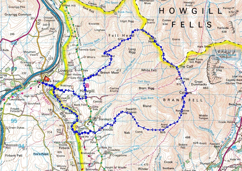
© Crown copyright. All rights reserved. License number PU 100034184.
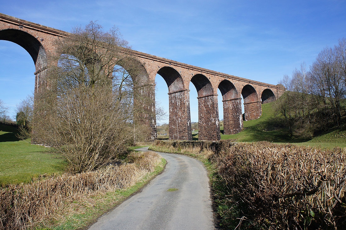
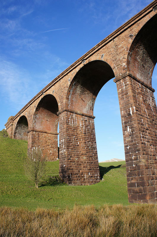
Looking back to the Lowgill Viaduct as I set off
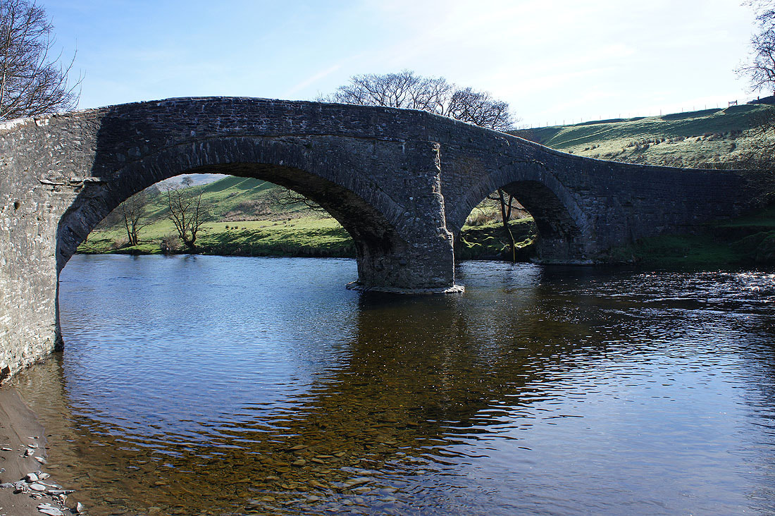
Across the Crook of Lune Bridge for the first time today
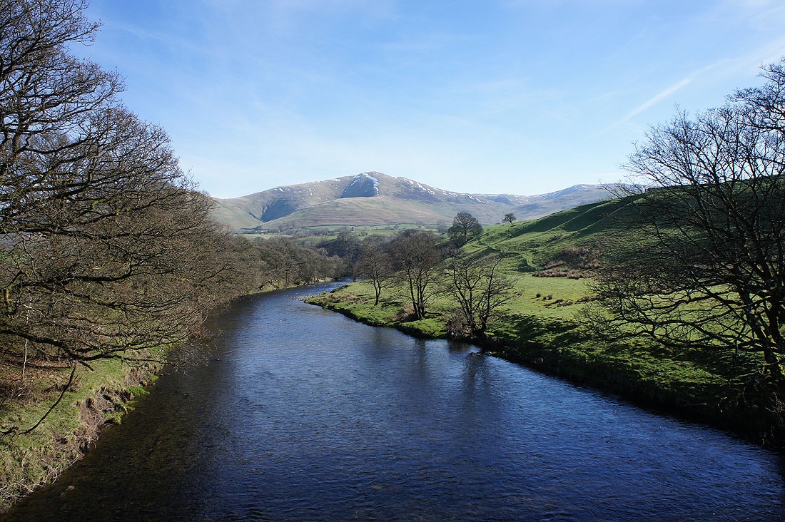
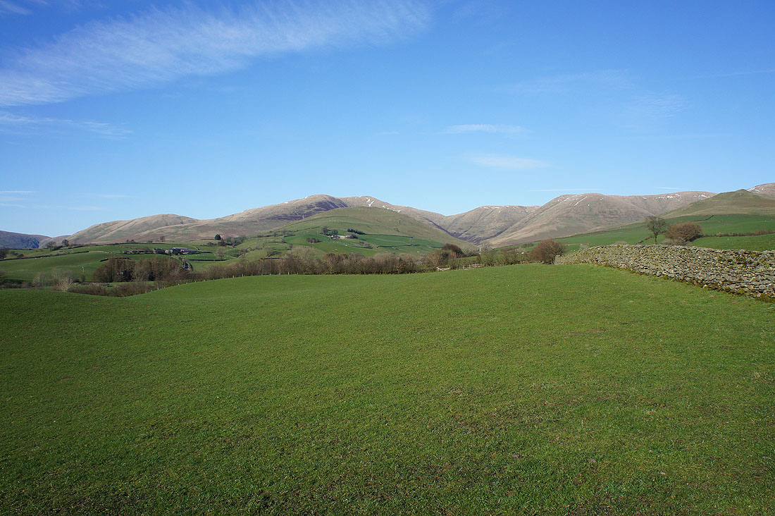
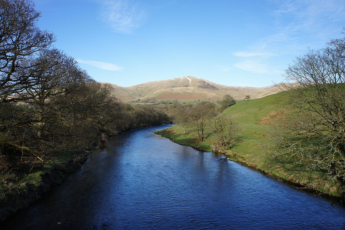
The River Lune and Fell Head in the distance, the first Howgill top that I'll visit today
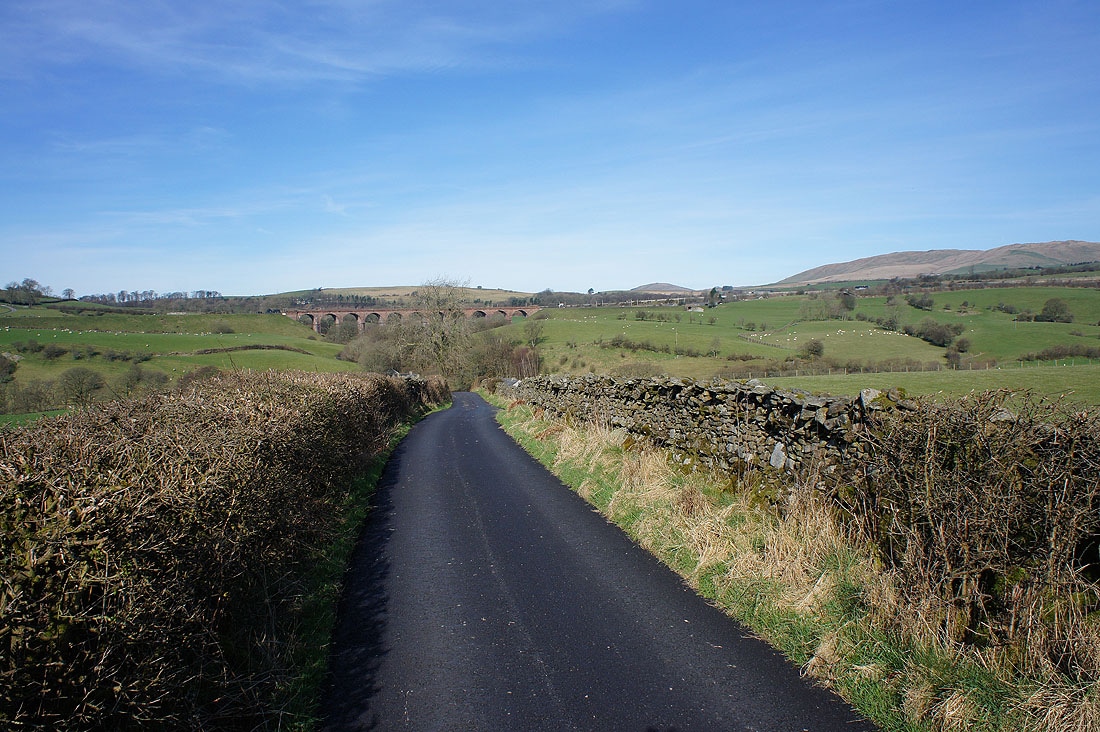
Looking back to the Lowgill Viaduct as I head up the road to Four Lane Ends
Off the road at last. After leaving Howgill Lane at Beck House I took the footpath signposted for Black Force that contours the hillside beneath Fell Head.
The view is starting to open out now and some of the Lake District fells can be seen beyond the Lune Valley
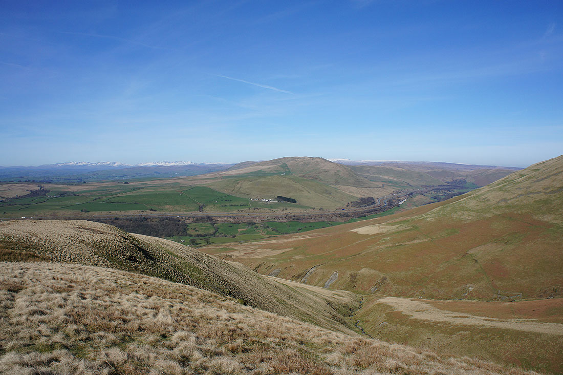
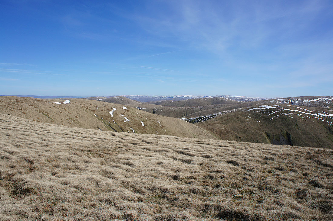
The hill of Grayrigg Common on the other side of the Lune gorge as I reach Whin's End
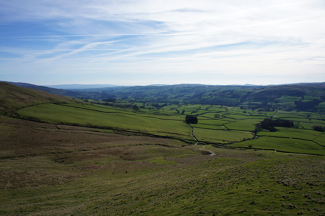
Looking down the Lune Valley
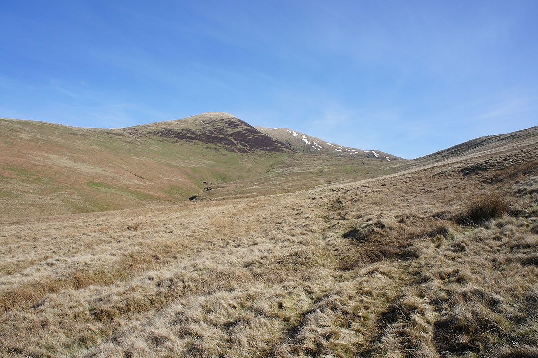
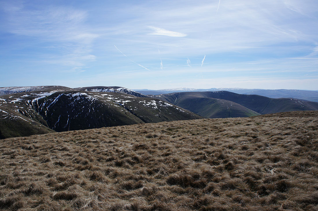
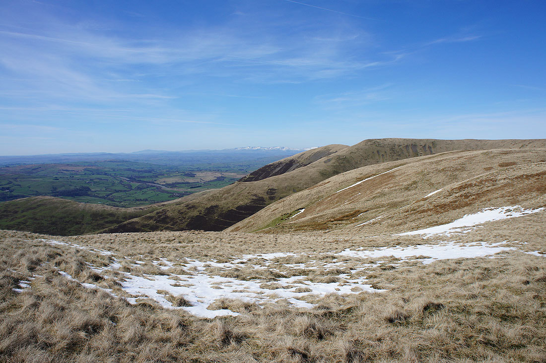
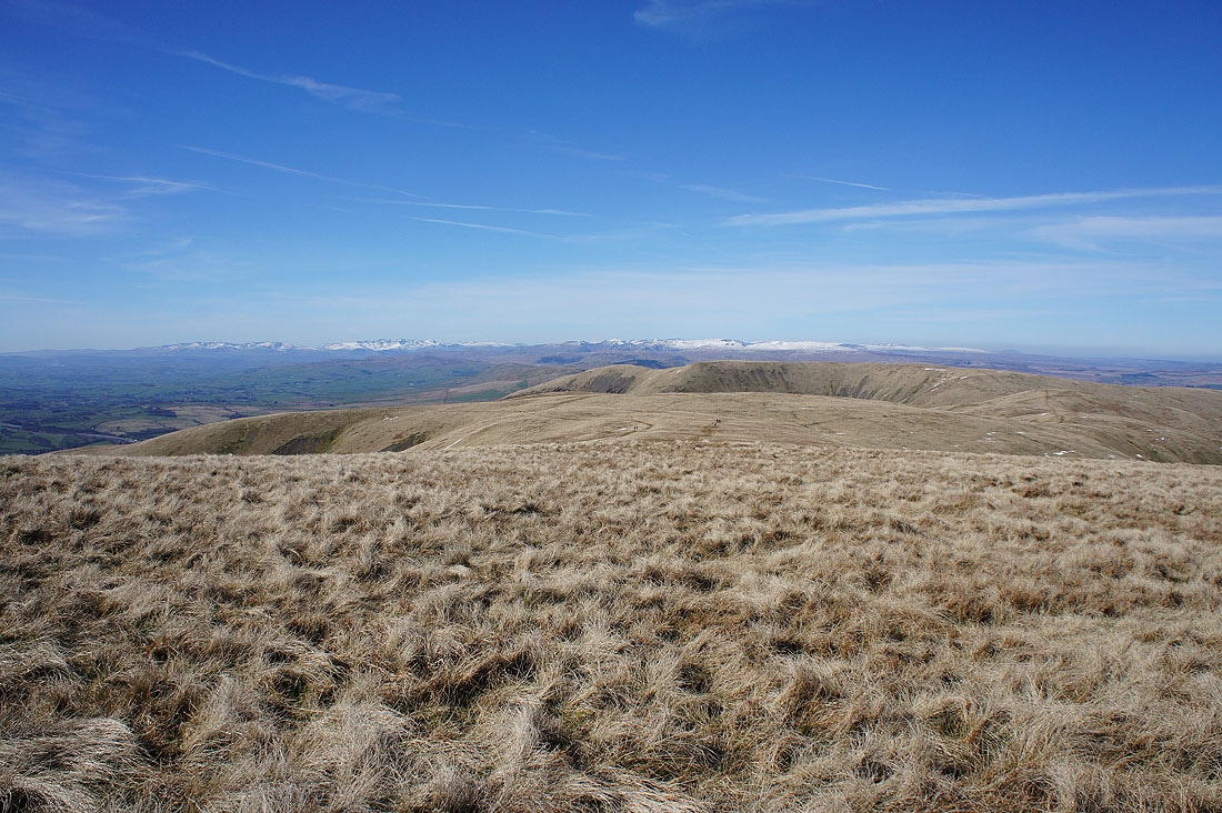
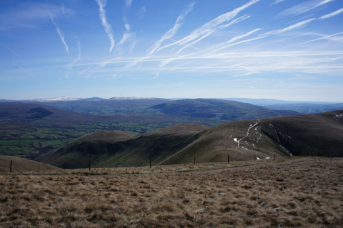
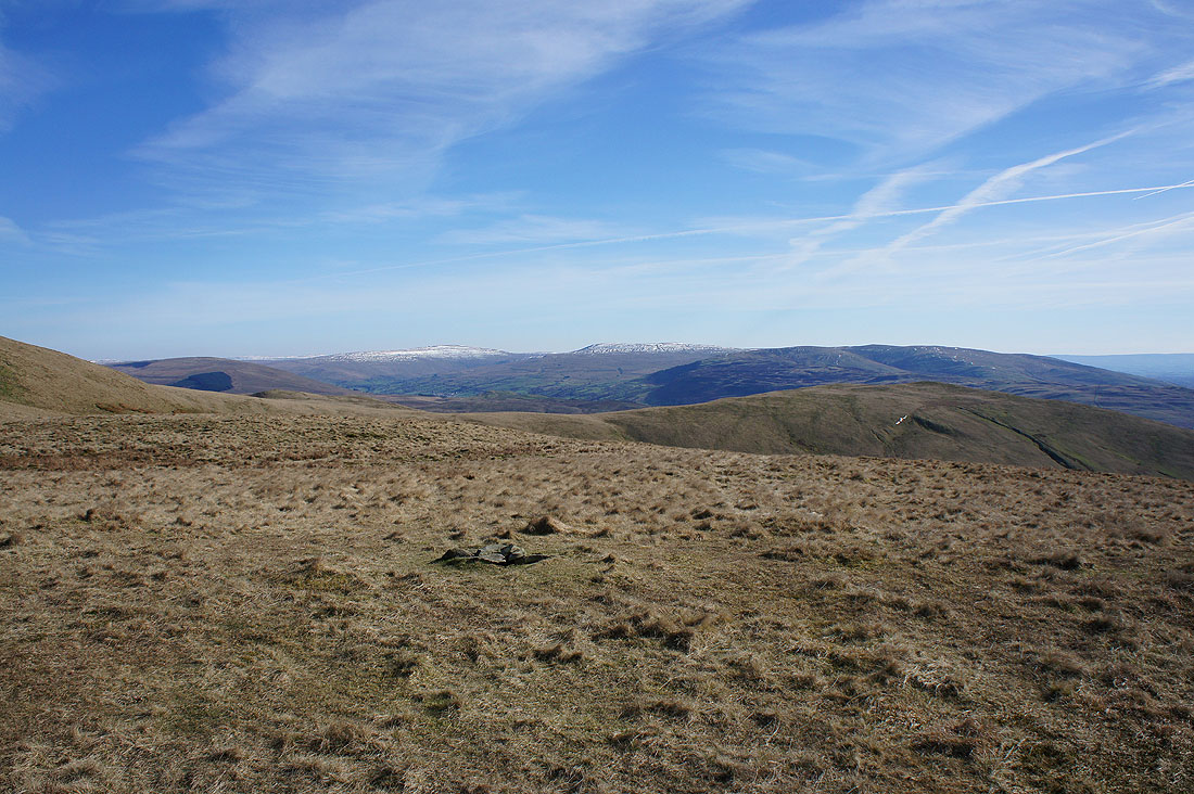
White Fell Head, Bram Rigg Top, Calders and Arant Haw
I reach the cairn that marks the top of Fell Head and that's the biggest climb of the day done. It's a stunning day for being up here. Excellent visibility and the sunshine feels so warm. Cross Fell and the North Pennines to the north on the other side of the Eden Valley.
Penyghent, Whernside and Ingleborough beyond the nearby Howgill fells of The Calf, Bram Rigg Top, Calders and Arant Haw
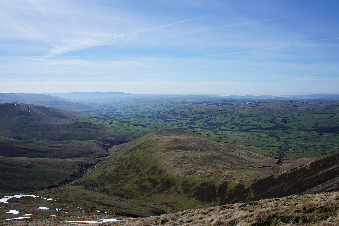
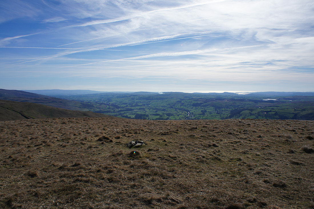
Looking down the Lune Valley to Morecambe Bay
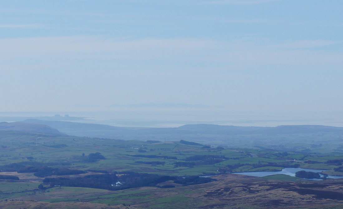
I zoomed in on the scene above and then cropped it. I think they're the mountains of Snowdonia that I can see.
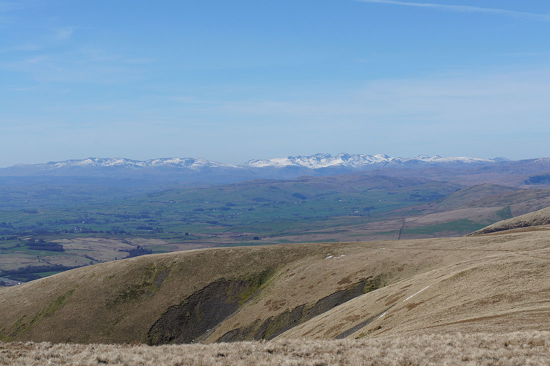
A fantastic view across to the Lake District fells
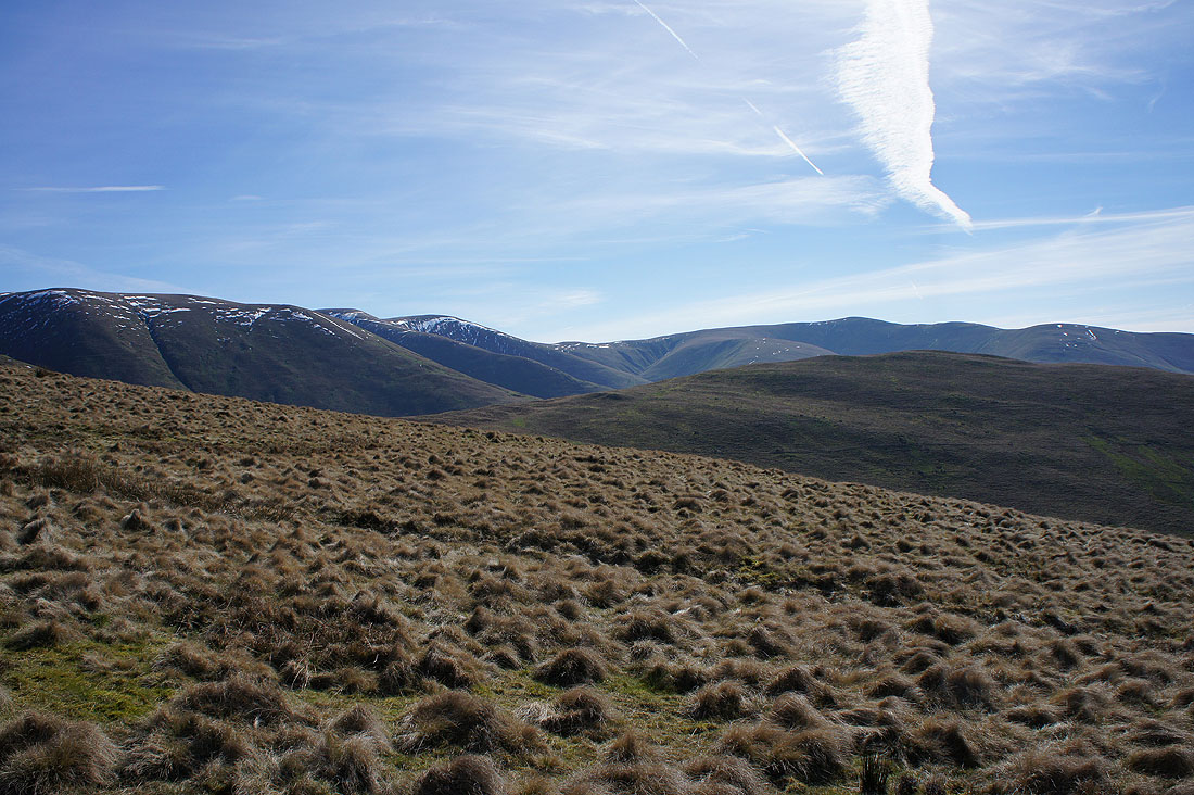
Looking across the ridges of the northern Howgills
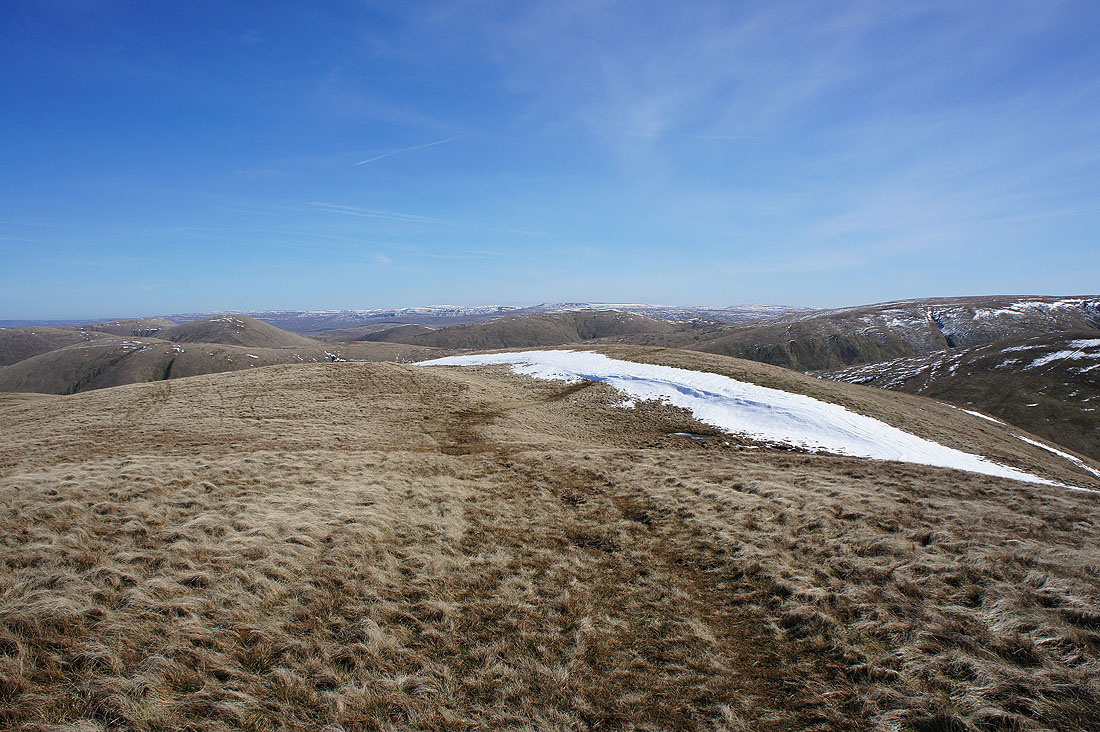
I've left Fell Head for Breaks Head and Windscarth Wyke
Howgills snowdrift
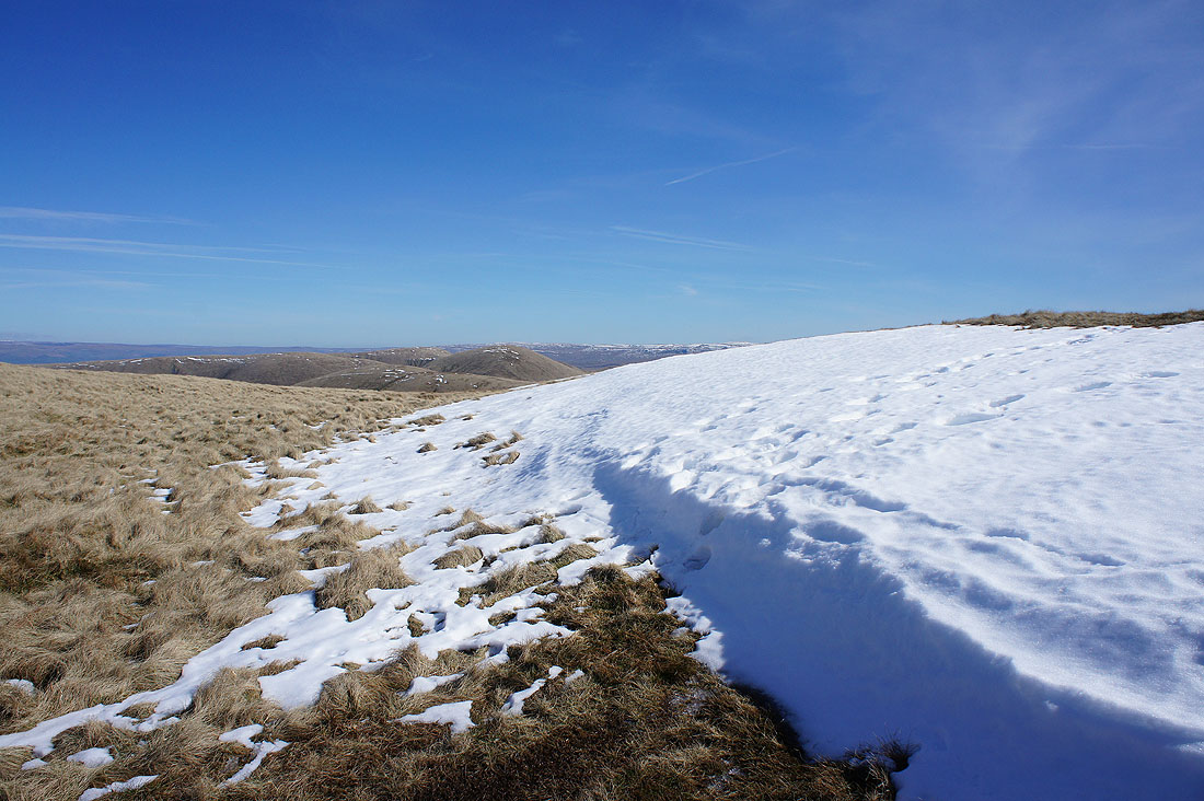
On Bush Howe and The Calf is now in sight
Looking back to Fell Head
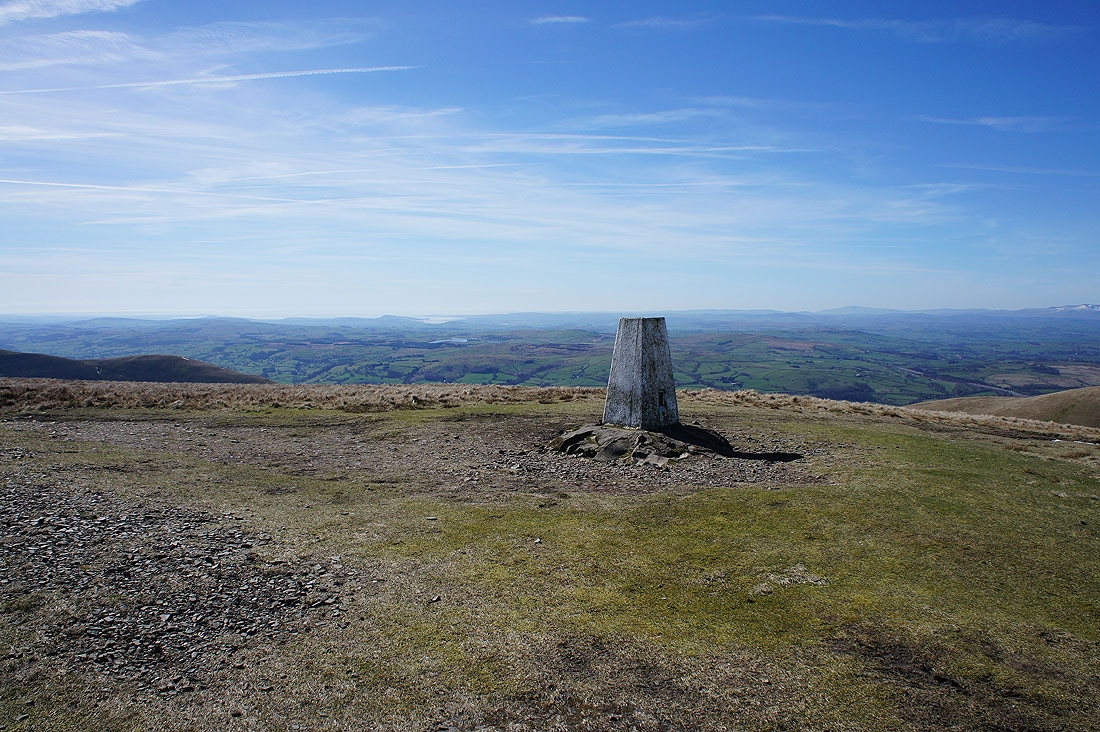
At the trig point on The Calf with Morecambe Bay in the background
Cross Fell and the North Pennines in the distance
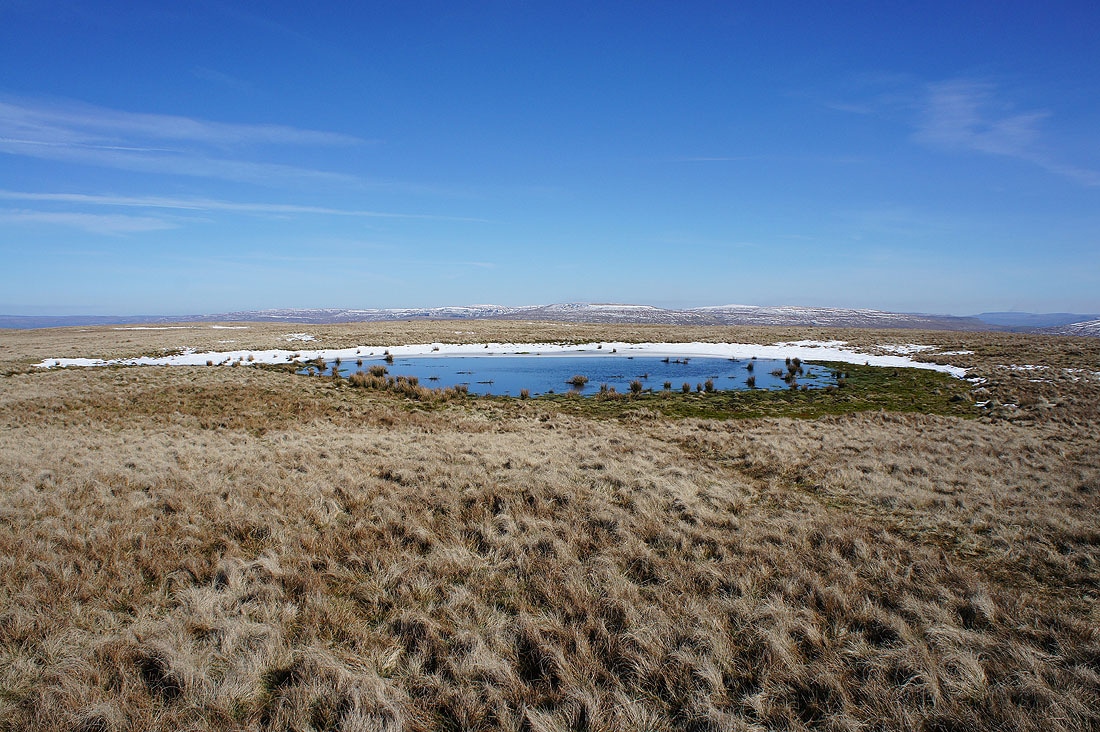
High Seat and Wild Boar Fell behind the summit pool
A fantastic view across to the Lake District fells with the Coniston fells, Scafell Pike and Great Gable on the left to Helvellyn and High Street on the right
Zooming in on the Coniston fells, Scafell, Scafell Pike, Great End and Great Gable
Helvellyn and High Street
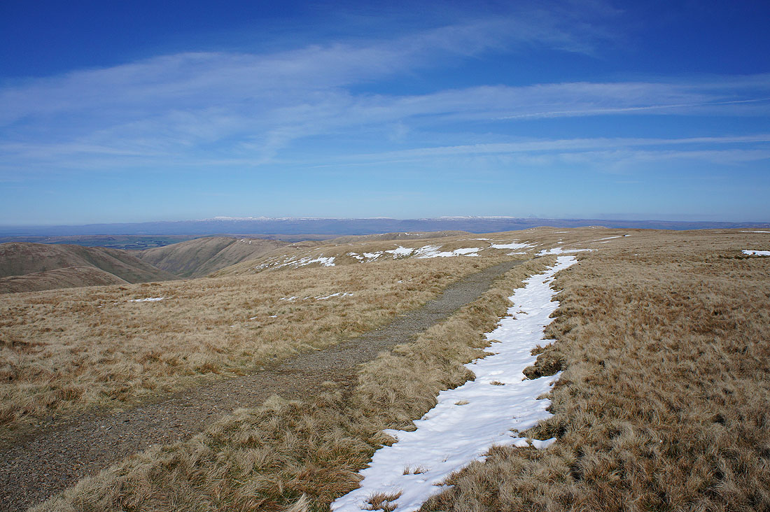
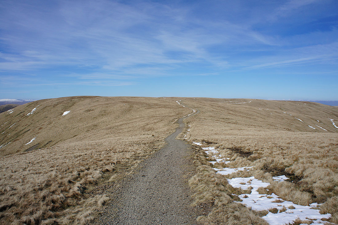
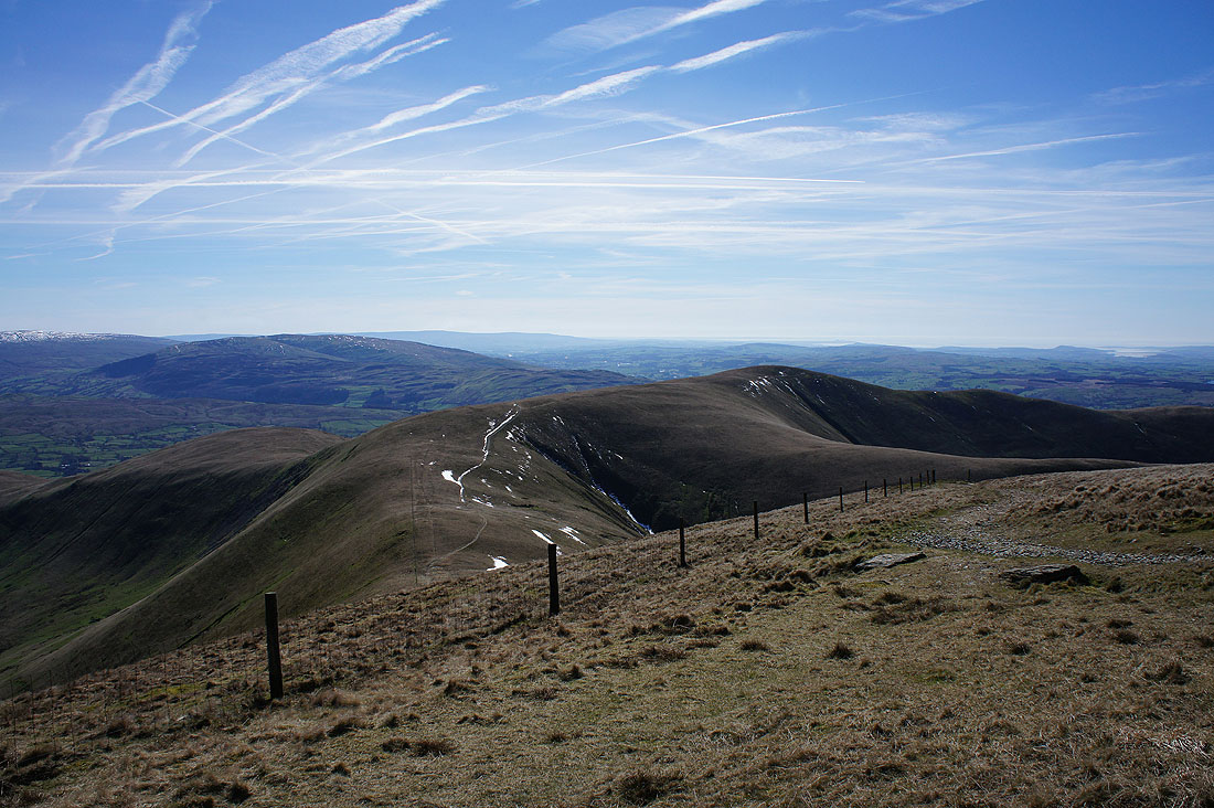
The bridleway to Calders and Sedbergh
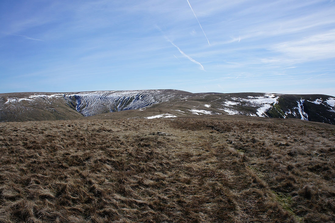
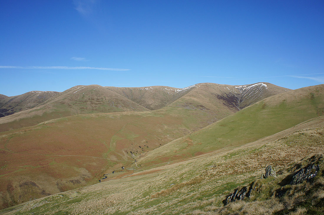
Looking down the valley of Red Gill Beck to Yarlside
Looking back to The Calf as I reach Calders
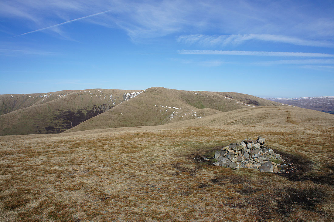
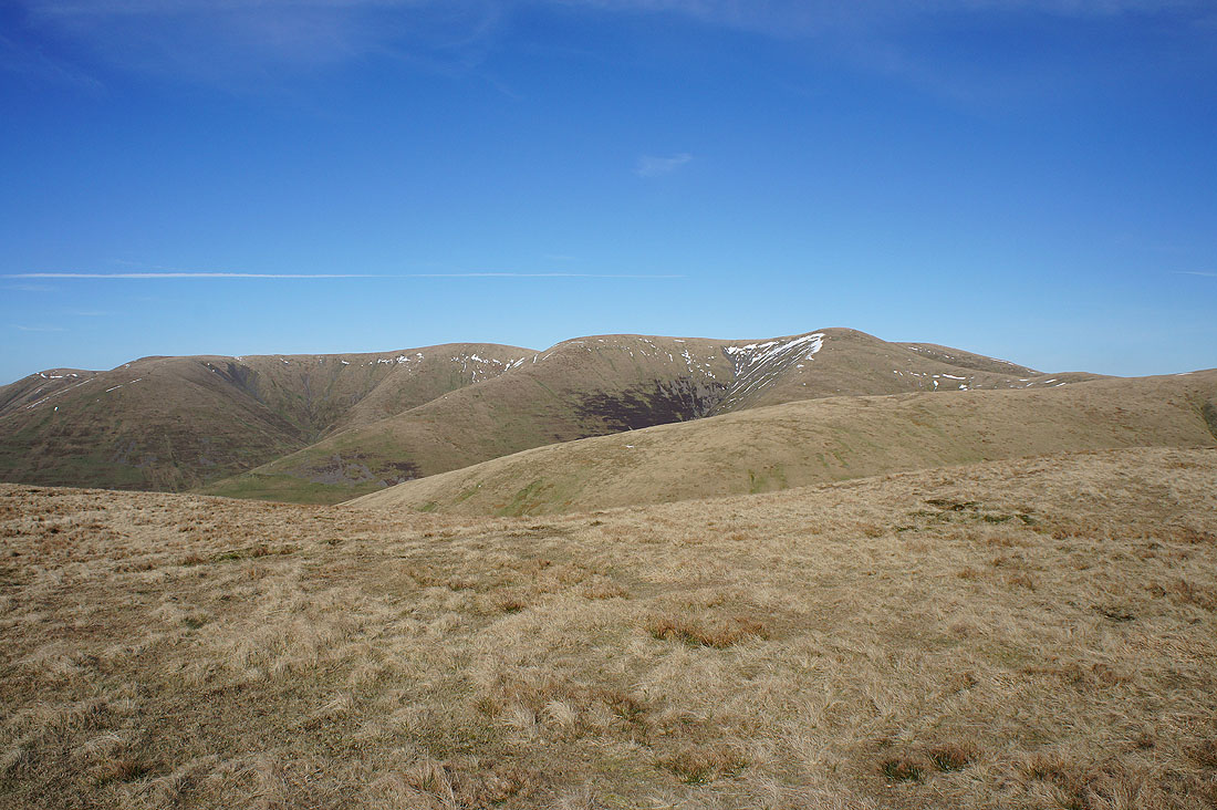
On Calders. Wild Boar Fell behind the nearby Great Dummacks.
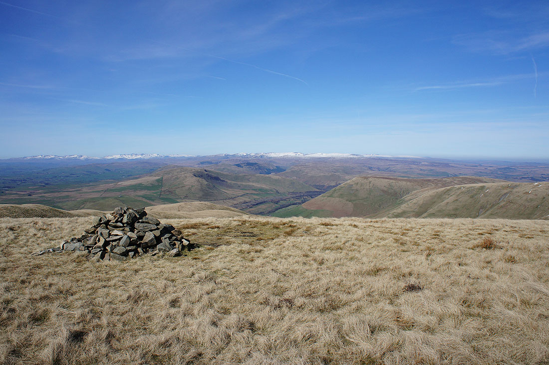
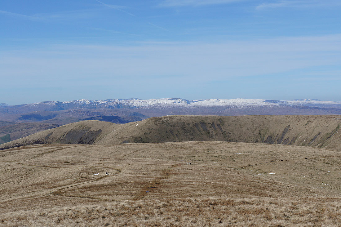
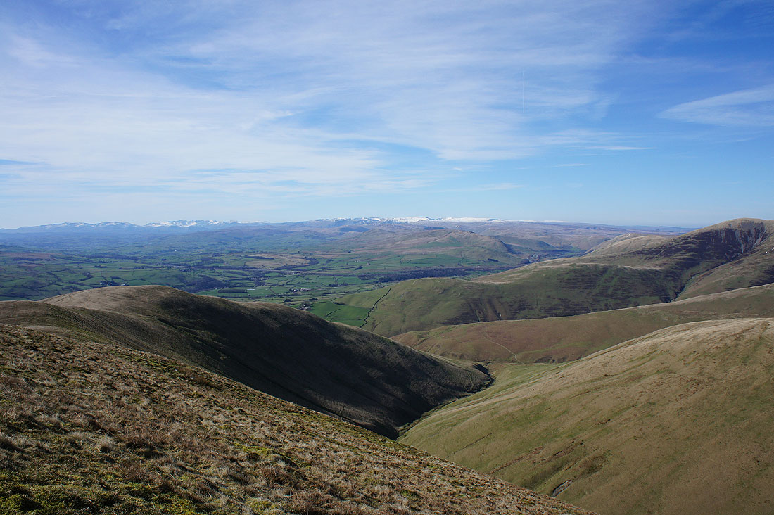
Aye Gill Pike, Penyghent, Whernside, Ingleborough and Great Coum with the Rawthey Valley below
Whernside, Ingleborough, Great Coum and Middleton Fell
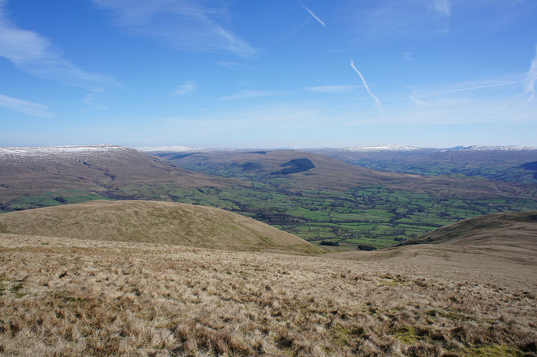
Middleton Fell, Arant Haw and Morecambe Bay
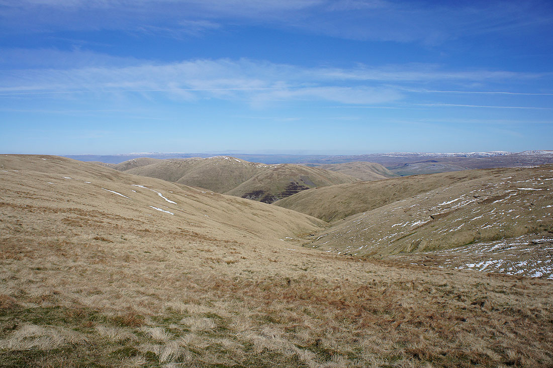
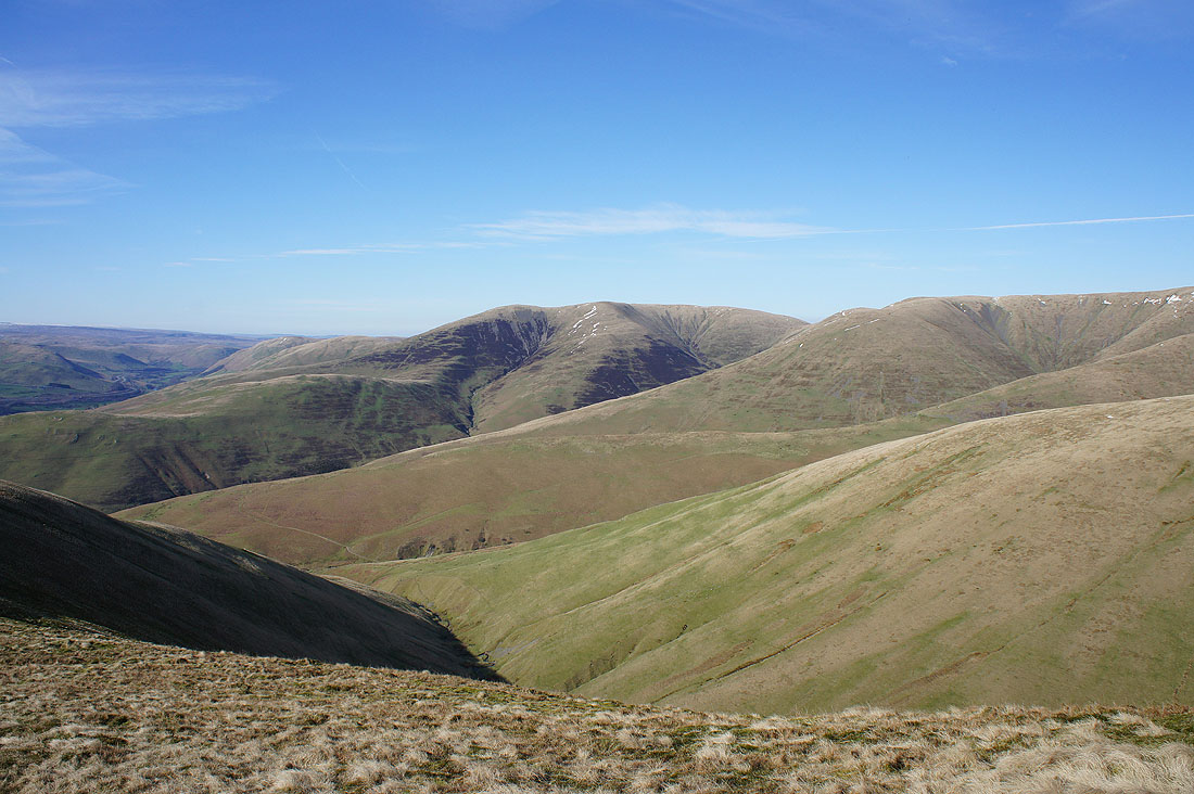
Howgills ridges and interlocking spurs
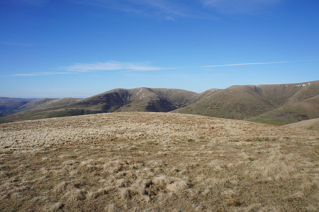
Looking back to Calders as I cross Rowantree Grains
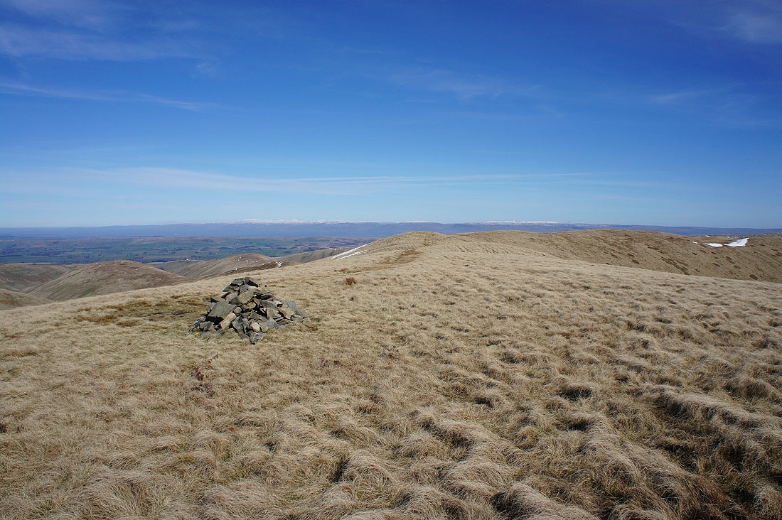
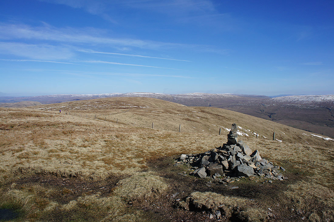
and again as I reach the cairn on Arant Haw
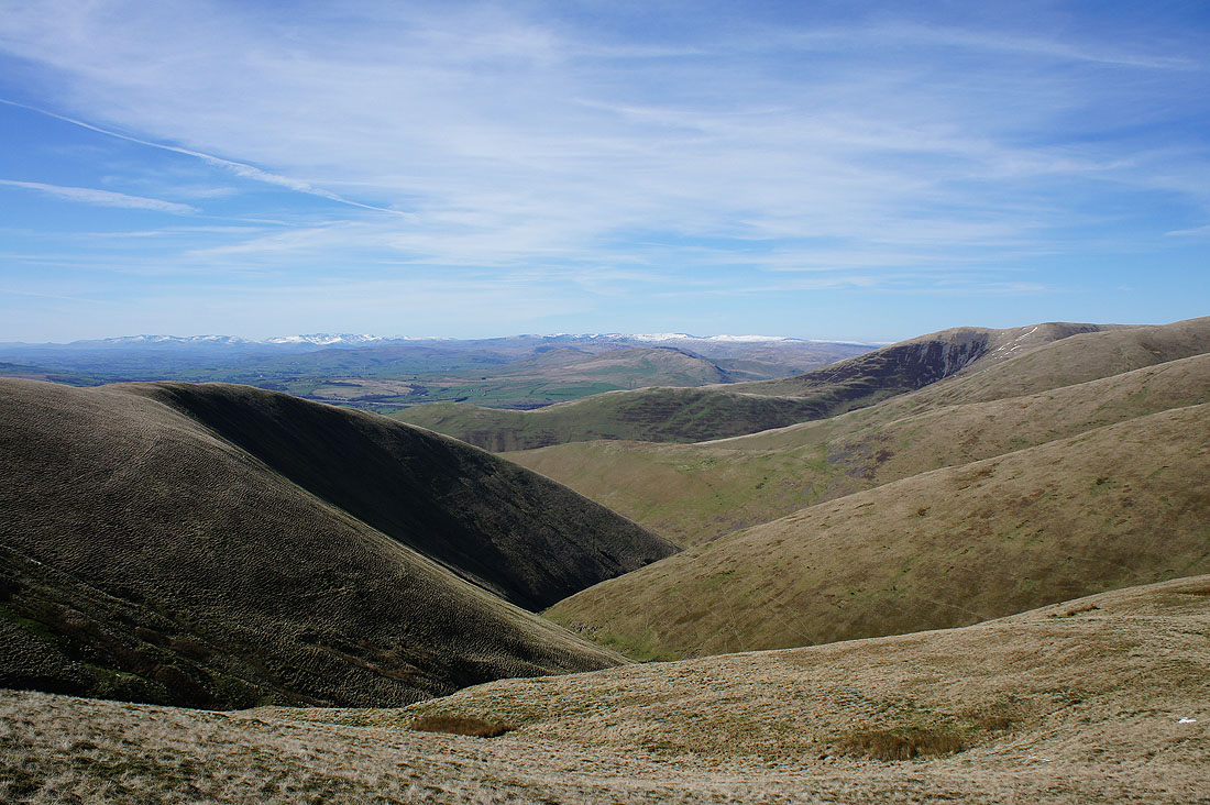
Wild Boar Fell and Swarth Fell in the distance along with smoke from heather being burned on the moors
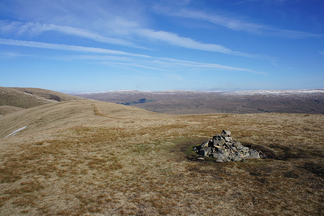
Baugh Fell, Great Knoutberry Hill, Garsdale, Aye Gill Pike, Penyghent, Whernside, Ingleborough and Great Coum
Whernside, Ingleborough, Great Coum and Middleton Fell
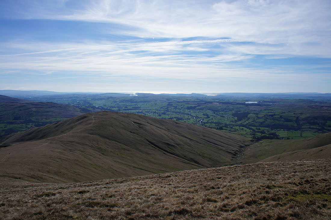
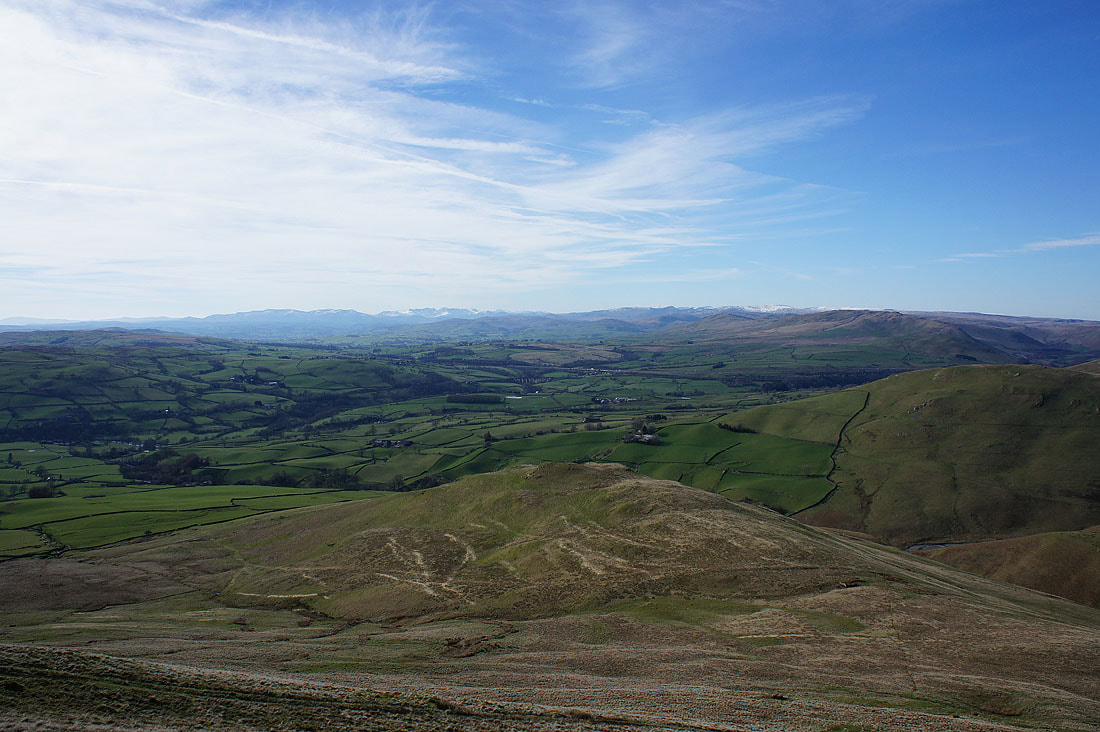
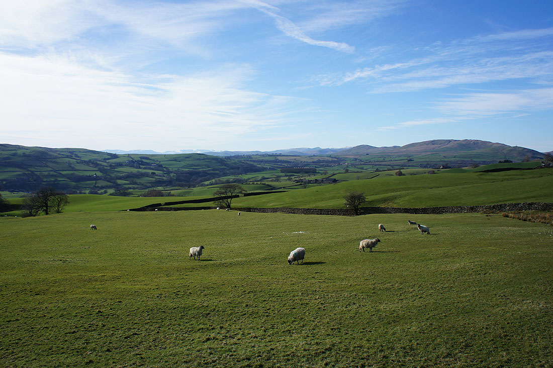
Winder, the Lune Valley and Morecambe Bay
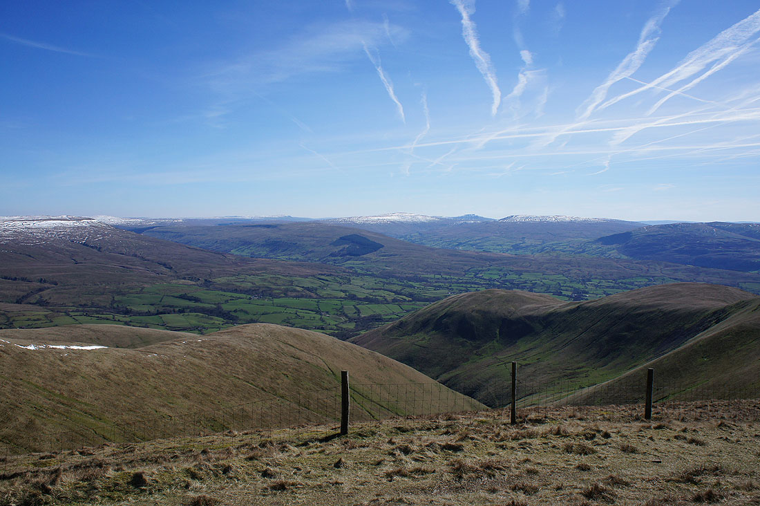
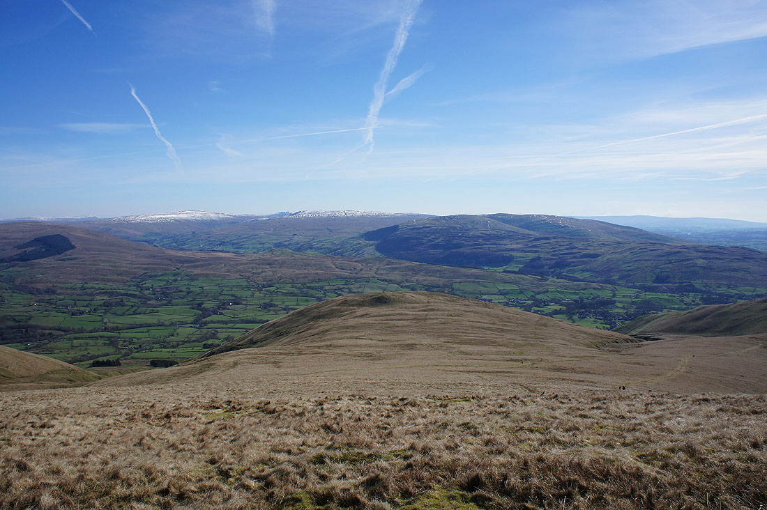
Looking across the Lune Valley to the Lake District fells
Fell Head and White Fell Head as I descend Arant Haw's western ridge
Morecambe Bay from the small cairn that marks the top of the western end of the ridge
Whernside, Great Coum and Middleton Fell
White Fell Head, The Calf, Bram Rigg Top and Calders
Fell Head and White Fell Head
The view west to the Lake District fells takes pride of place
and again as I descend to Seat Knott
Looking across Bram Rigg Beck to White Fell Head, The Calf, Bram Rigg Top and Calders from Seat Knott
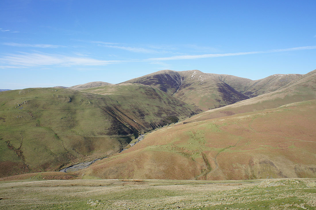
Fell Head and Chapel Beck
The Lake District fells in the distance but it was the wrinkled hillside below that had my attention
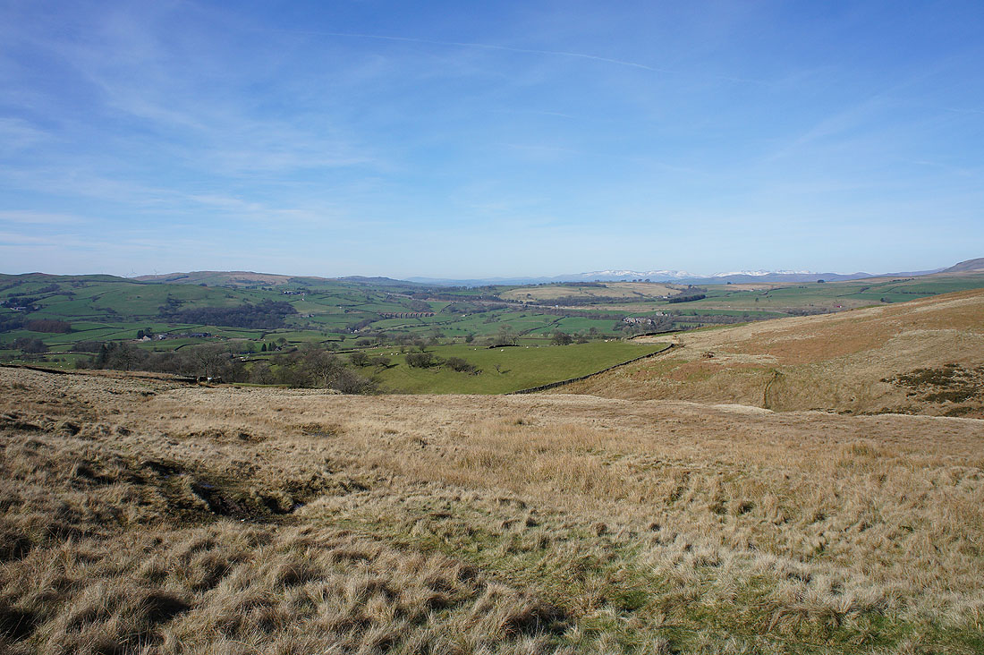
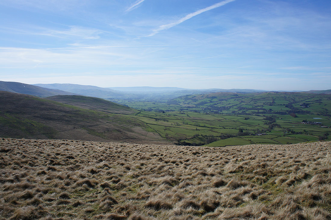
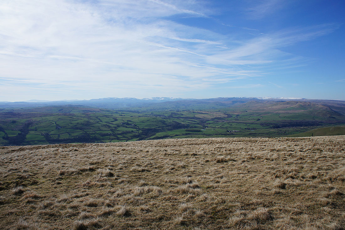
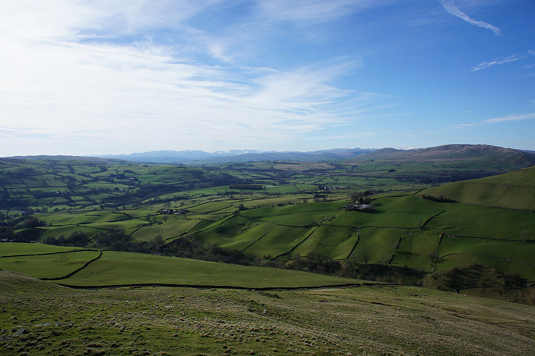
Looking down the Lune Valley
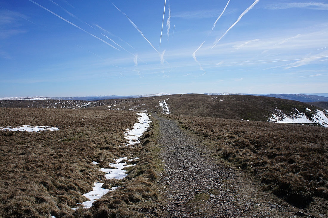
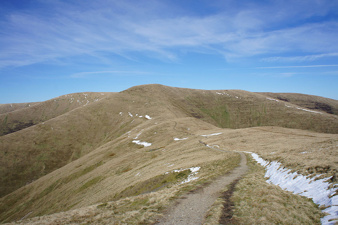
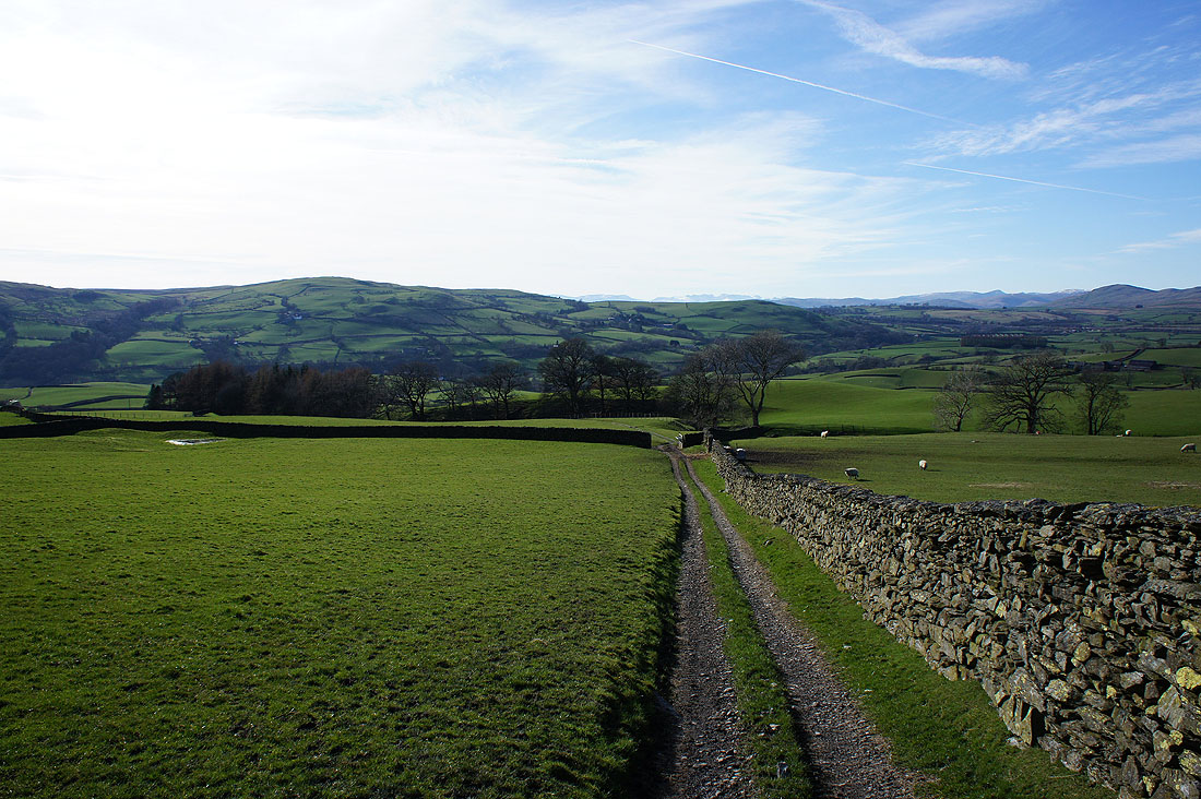
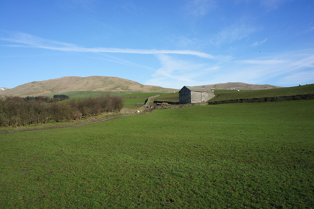
Great views across it as I follow the bridleway down to Birkhaw...
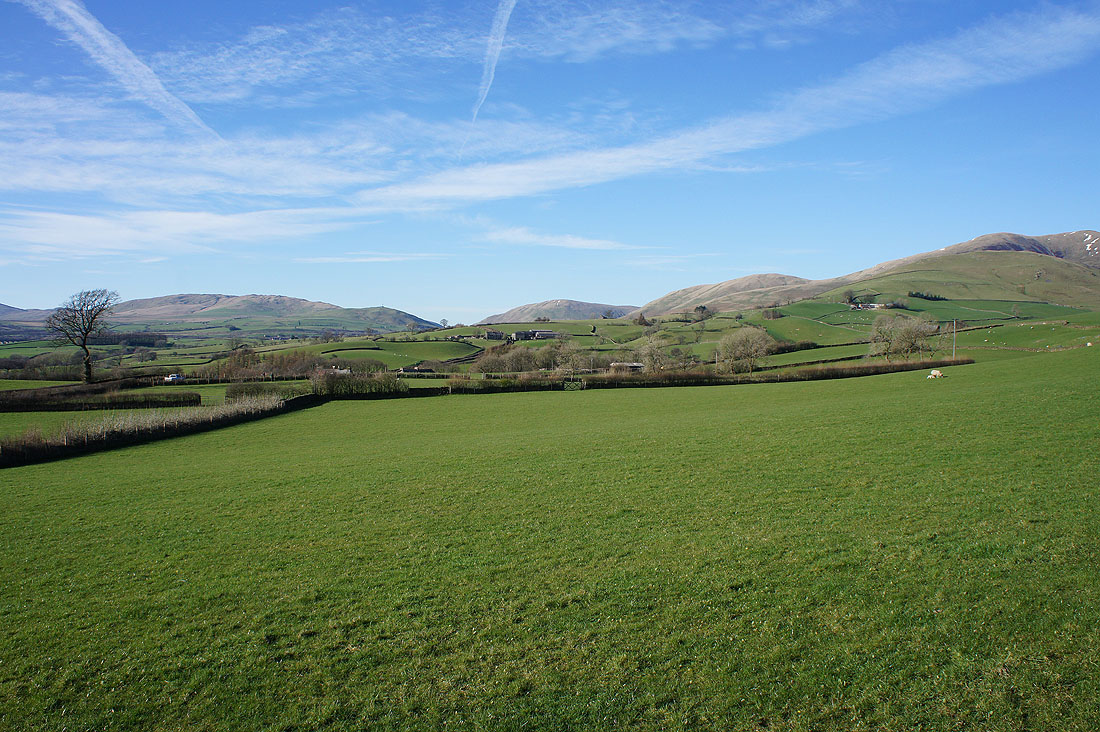
Fell Head behind Castley Knotts from New Road
Looking back to Hungry Barn from the footpath down to Hole House
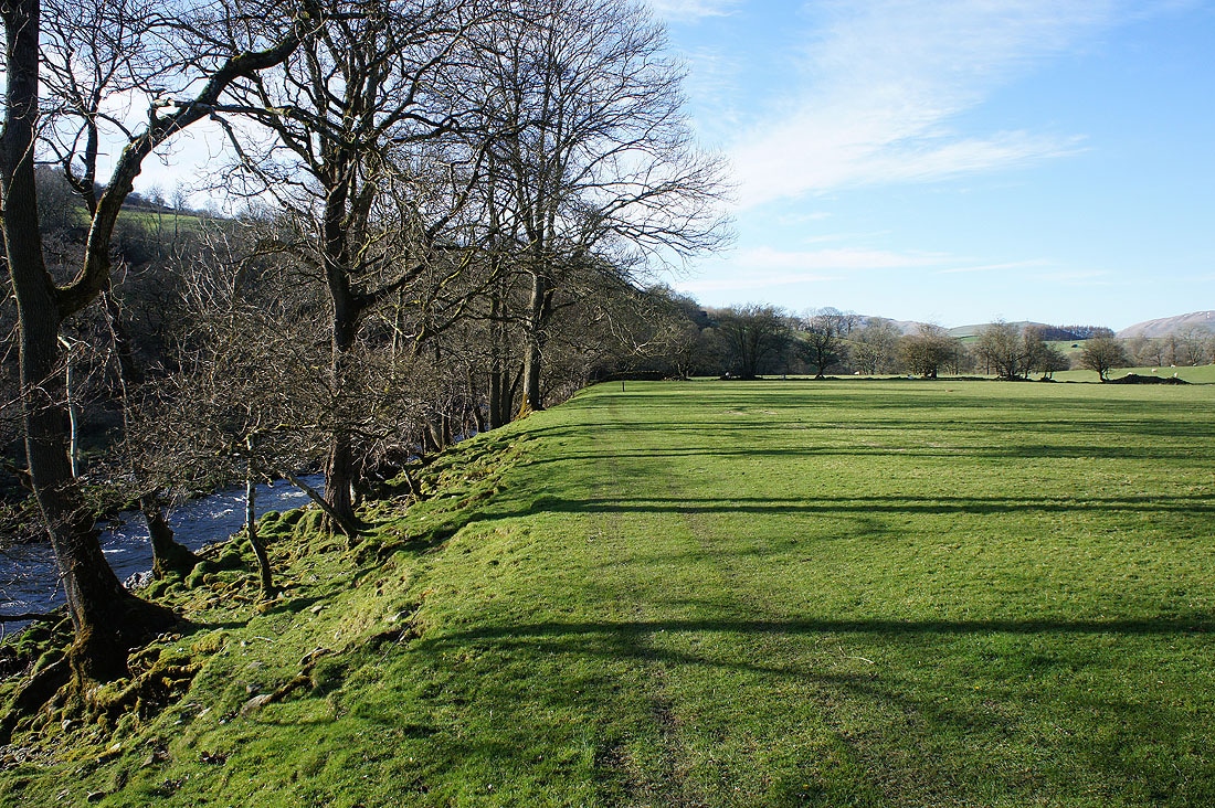
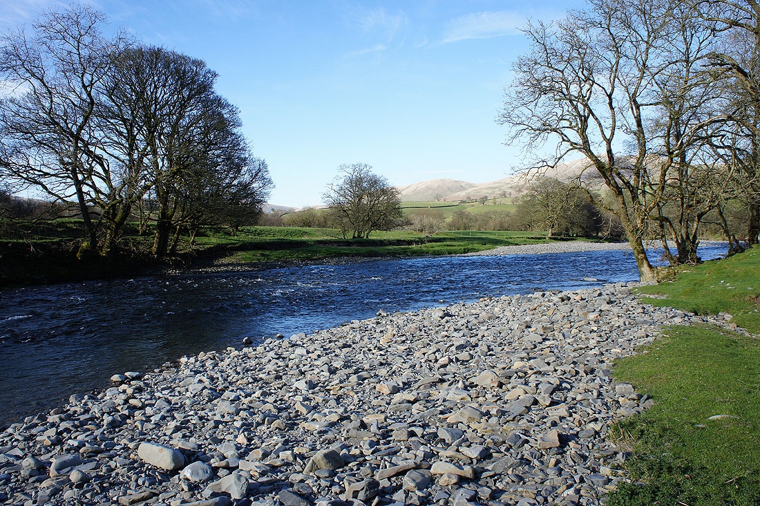
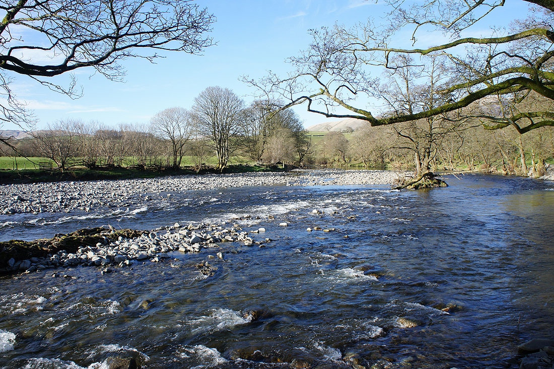
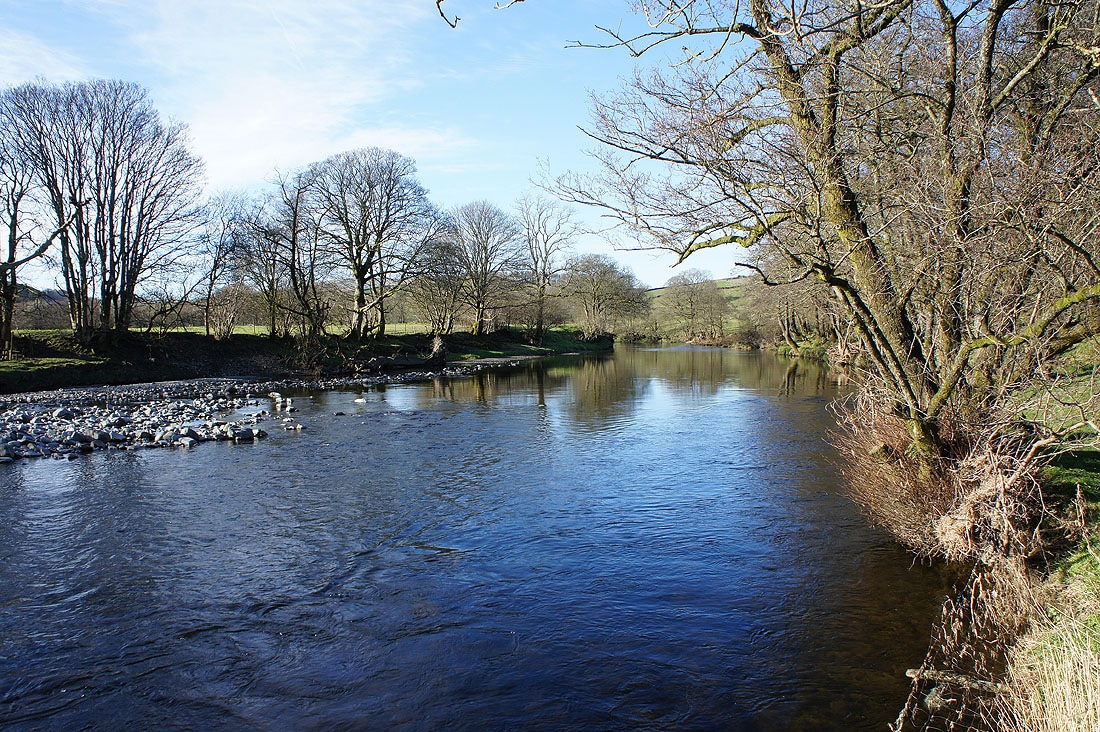
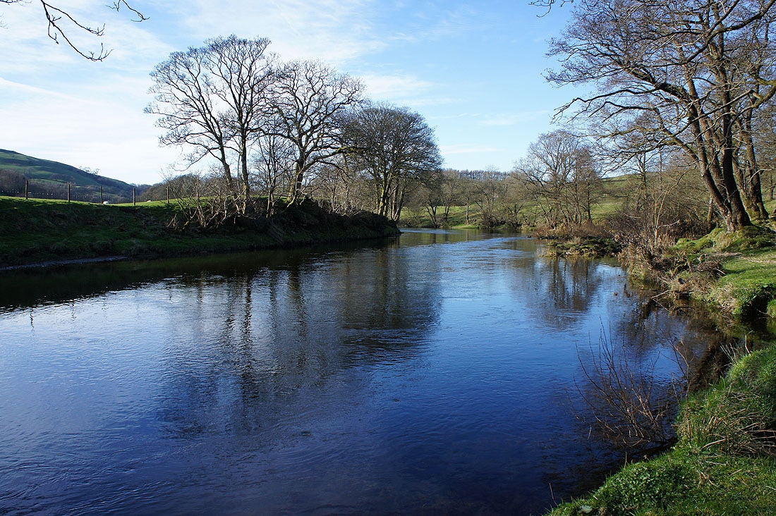
At Hole House I joined the trail of the Dales Way which follows the banks of the Lune to the Crook 'Lune Bridge......
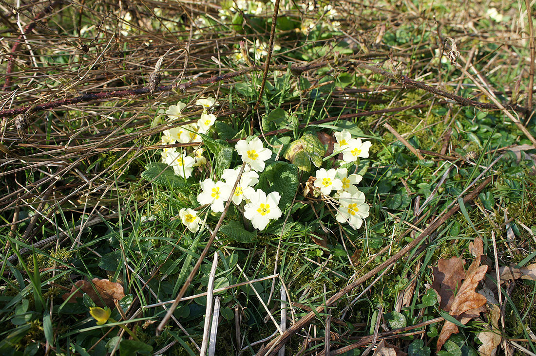
The first primroses that I've seen this spring
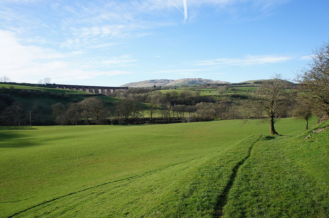
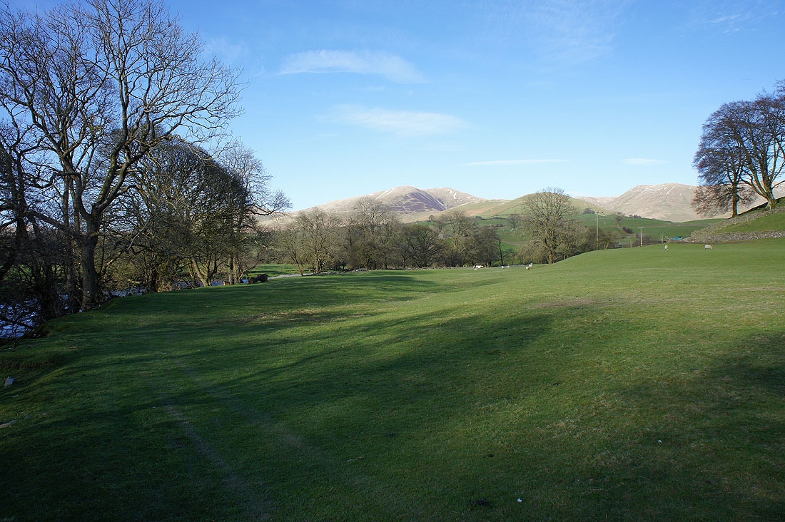
The Lowgill viaduct is back in sight
Fell Head as I cross the Crook o'Lune Bridge again
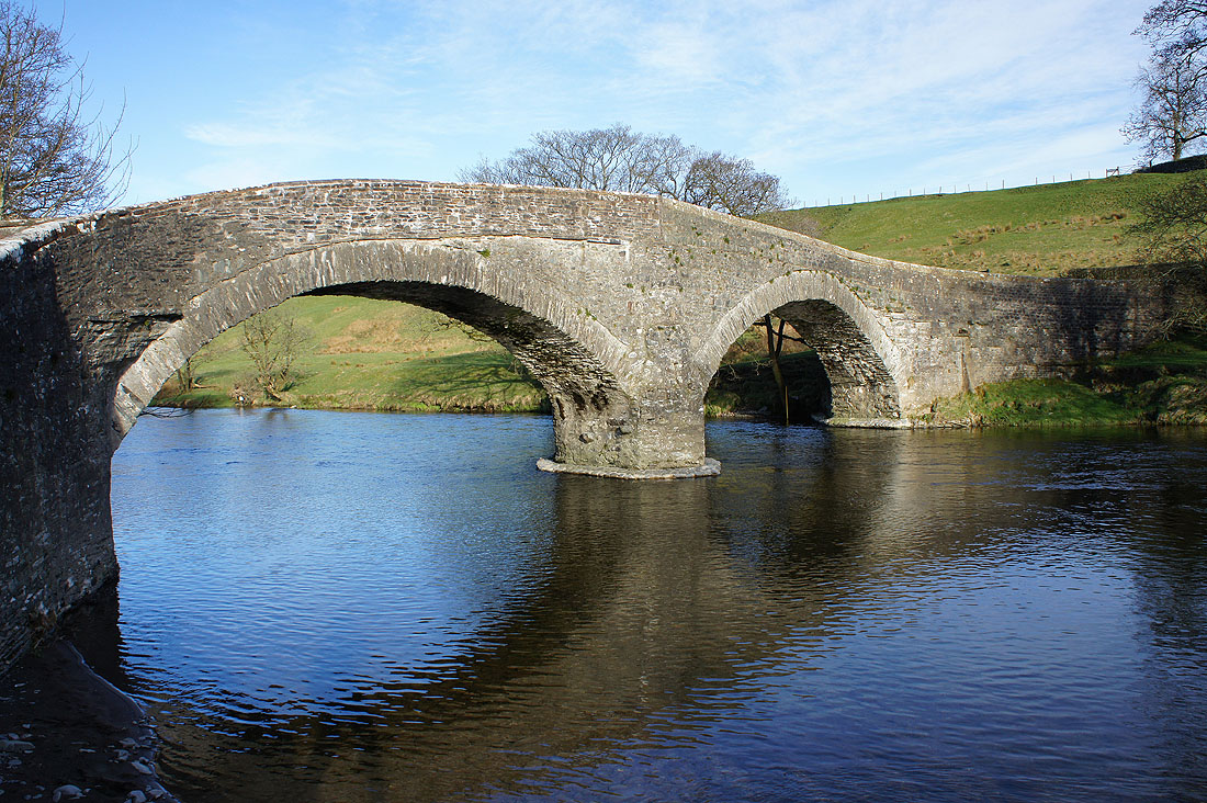
The Crook o'Lune Bridge bathed in the late afternoon sun
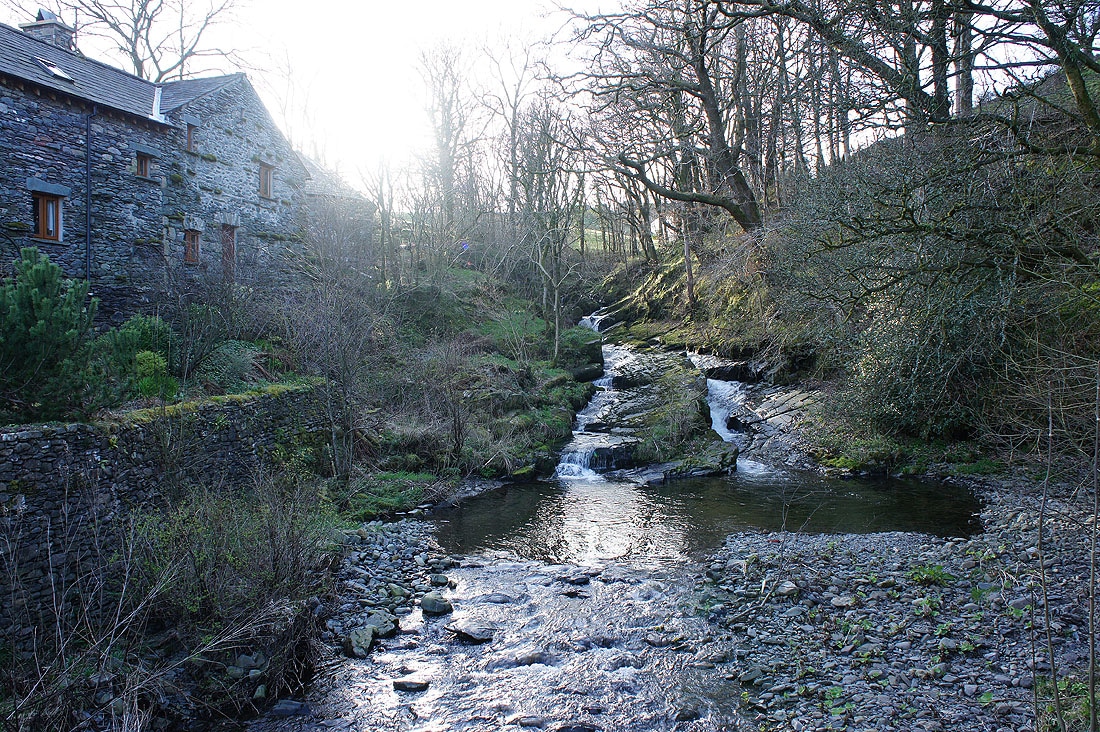
This beck at Pool House doesn't have a name on the map. I liked its setting with it tumbling down over rocks and surrounded by trees.
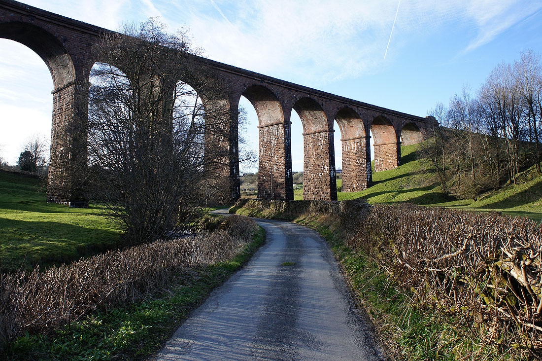
Back at the Lowgill Viaduct..