25th March 2018 - Harter Fell and Kentmere Pike from Longsleddale
Walk Details
Distance walked: 7.7 miles
Total ascent: 2172 ft
OS map used: OL7 - The English Lakes, Southeastern area
Time taken: 5.5 hrs
Route description: Sadgill, Longsleddale-Gatescarth Pass-Adam Seat-Harter Fell-Kentmere Pike-Goat Scar-Shipman Knotts-Stile End Pass-Sadgill, Longsleddale
A fine spring day is forecast so I decided to head up to the Lake District for my third walk there so far this year. It's been a while since I've been able to say that. Unlike my last visit in February to do the Fairfield Horseshoe I had to include Wainwrights that would count towards my second round. That's still fairly easy to do as I'm just past the half way mark. Kentmere Pike and Shipman Knotts bagged today took the total to 115. Also, this was only my second visit to Longsleddale, so another one was long overdue. On the previous occasion in August 2012 I did more or less the same walk. I may have set off from Sadgill with lots of sunshine and a springlike feel to the day but it still felt like winter on the tops of the fells with a strong and cold northwesterly breeze.
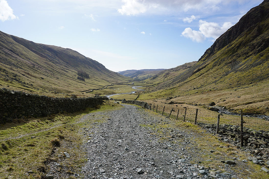
From where I parked at the end of the road in Sadgill I started by following the byway north up Longsleddale to the Gatescarth Pass. Instead of taking the obvious path to Harter Fell I followed the fence up to the top of Adam Seat before joining that path to reach the summit of Harter Fell. After having my lunch here I walked south down the ridge to Kentmere Pike, Goat Scar and Shipman Knotts to reach the top of the Stile End Pass. I then turned left and followed the byway down into Longsleddale and back to Sadgill where I was parked.
Total ascent: 2172 ft
OS map used: OL7 - The English Lakes, Southeastern area
Time taken: 5.5 hrs
Route description: Sadgill, Longsleddale-Gatescarth Pass-Adam Seat-Harter Fell-Kentmere Pike-Goat Scar-Shipman Knotts-Stile End Pass-Sadgill, Longsleddale
A fine spring day is forecast so I decided to head up to the Lake District for my third walk there so far this year. It's been a while since I've been able to say that. Unlike my last visit in February to do the Fairfield Horseshoe I had to include Wainwrights that would count towards my second round. That's still fairly easy to do as I'm just past the half way mark. Kentmere Pike and Shipman Knotts bagged today took the total to 115. Also, this was only my second visit to Longsleddale, so another one was long overdue. On the previous occasion in August 2012 I did more or less the same walk. I may have set off from Sadgill with lots of sunshine and a springlike feel to the day but it still felt like winter on the tops of the fells with a strong and cold northwesterly breeze.
From where I parked at the end of the road in Sadgill I started by following the byway north up Longsleddale to the Gatescarth Pass. Instead of taking the obvious path to Harter Fell I followed the fence up to the top of Adam Seat before joining that path to reach the summit of Harter Fell. After having my lunch here I walked south down the ridge to Kentmere Pike, Goat Scar and Shipman Knotts to reach the top of the Stile End Pass. I then turned left and followed the byway down into Longsleddale and back to Sadgill where I was parked.
Route map
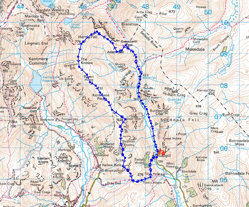
© Crown copyright. All rights reserved. License number PU 100034184.
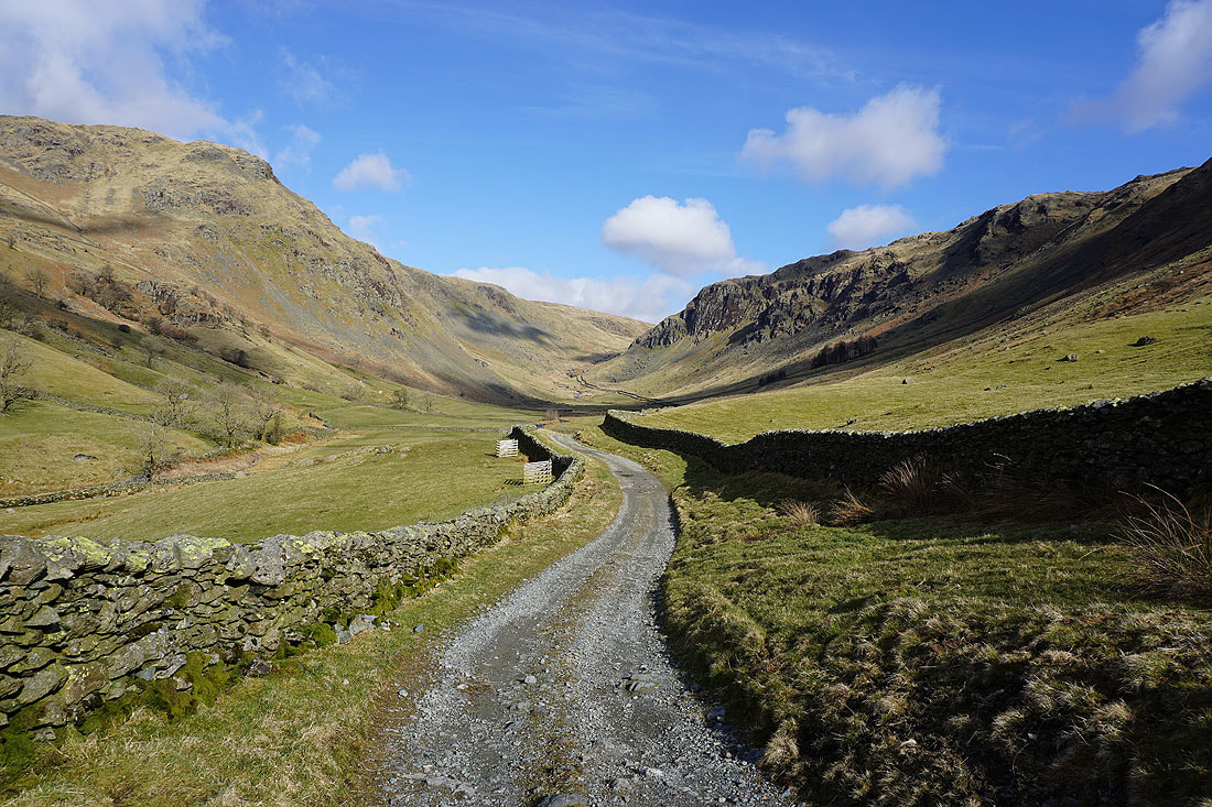
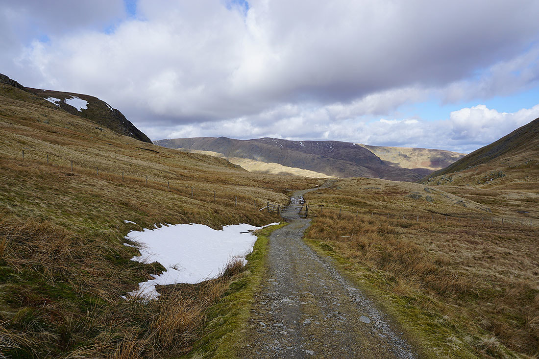
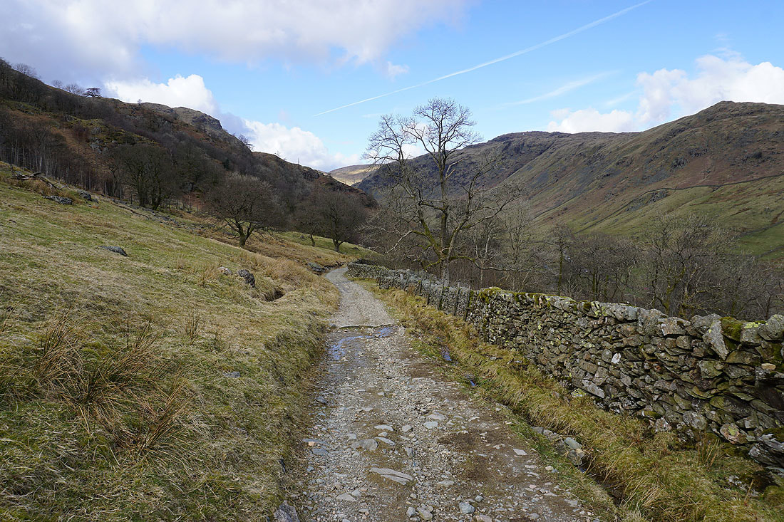
Following the byway up Longsleddale to the Gatescarth Pass..
Having a look back down the valley
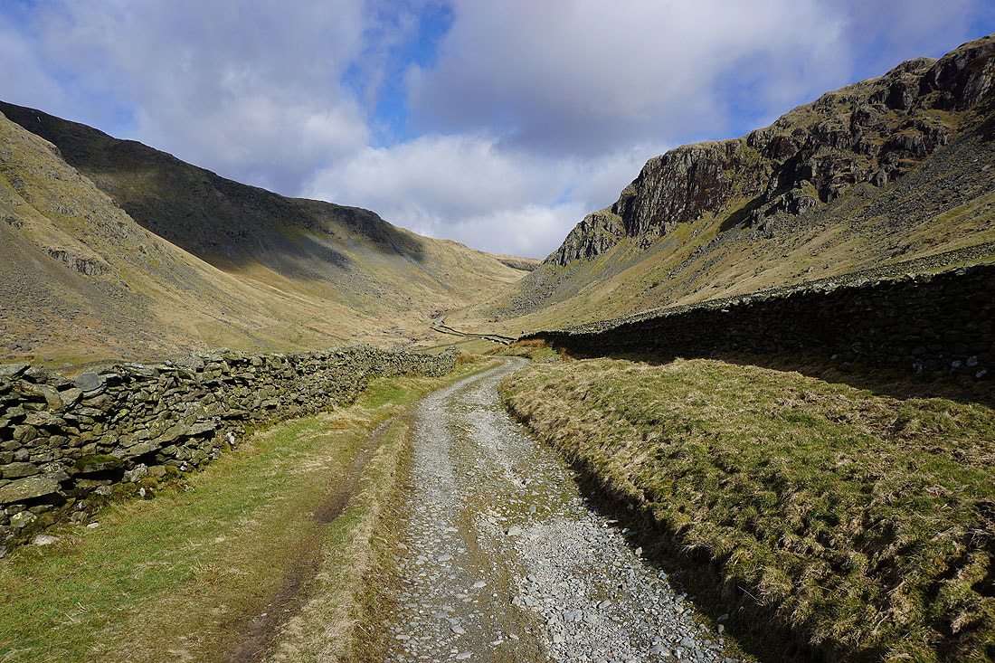
There's a more remote feeling as I approach Brownhowe Bottom
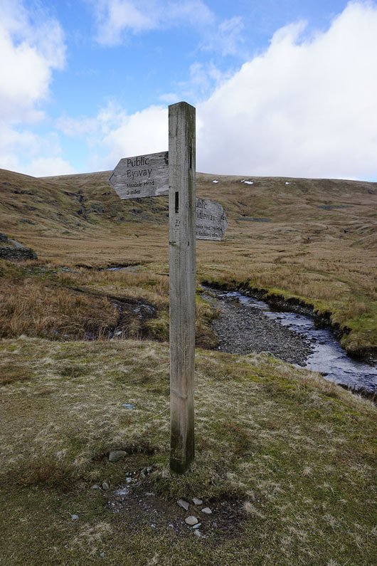
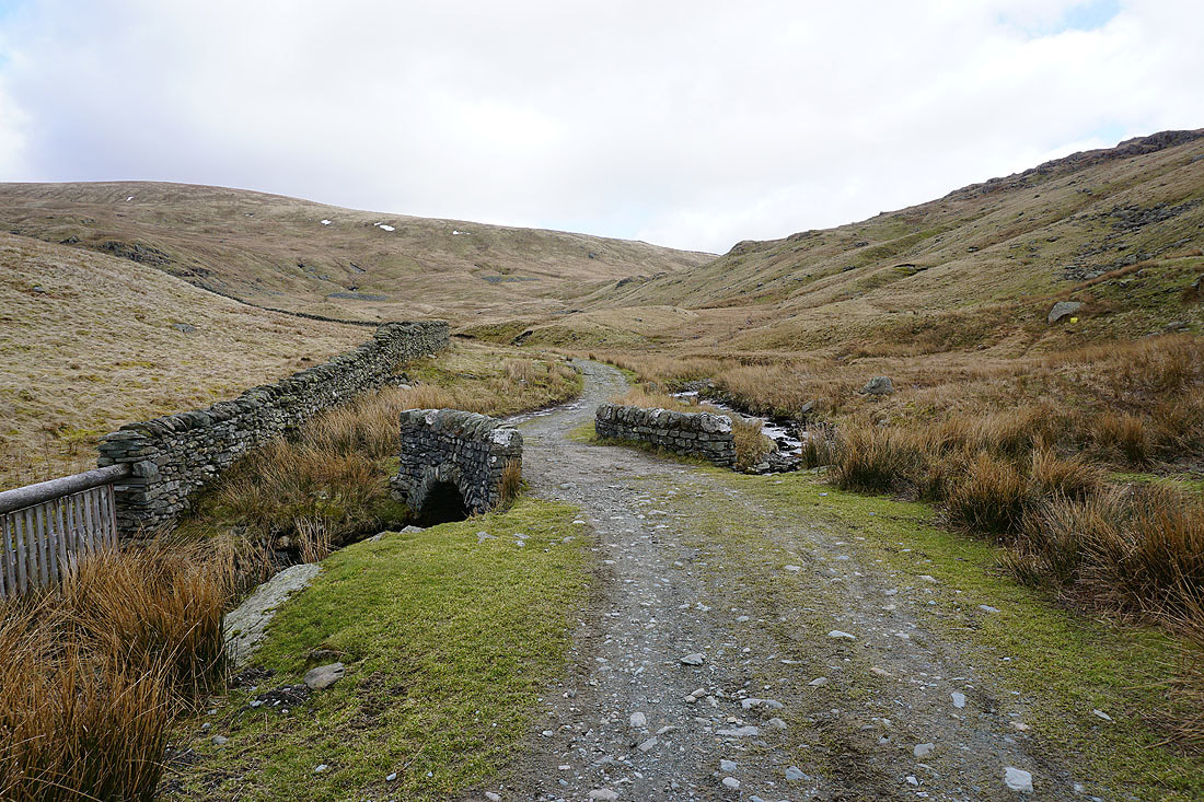
The byway to the Gatescarth Pass and the bridleway to Mosedale meet
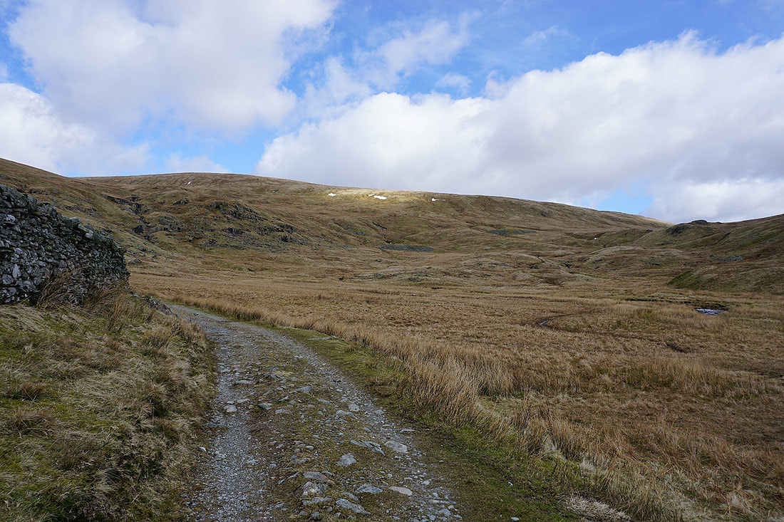
The slopes of Selside Brow above Brownhowe Bottom

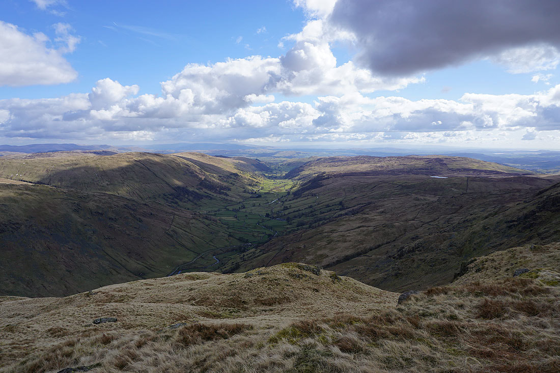
Looking across Brownhowe Bottom to Tarn Crag
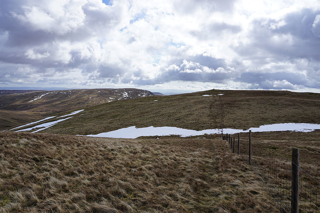
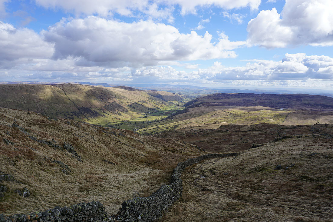
The fells around Mardale come into view as I approach the top of the pass
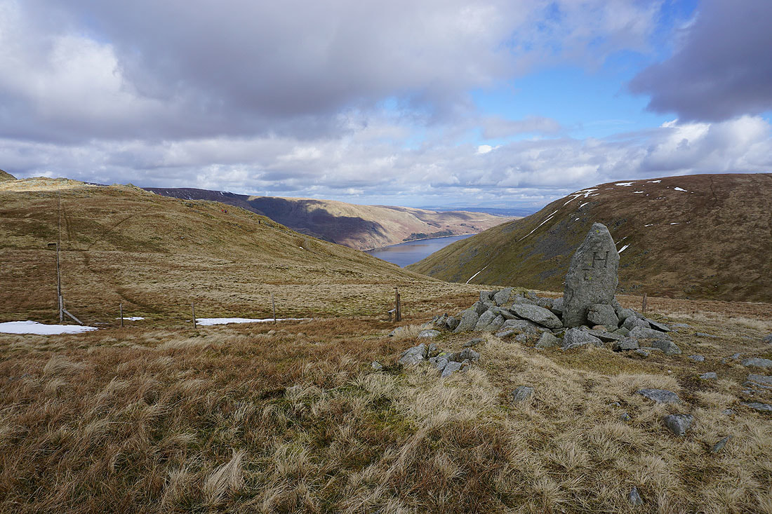
On the summit of Adam Seat with its boundary stone. A bit of Haweswater in view.
Tarn Crag from Adam Seat
I've walked a little way south from the summit to get a better view down Longsleddale
Looking back to Adam Seat as I head for Harter Fell
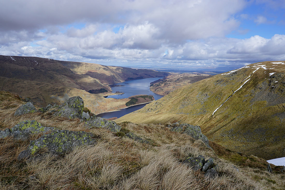
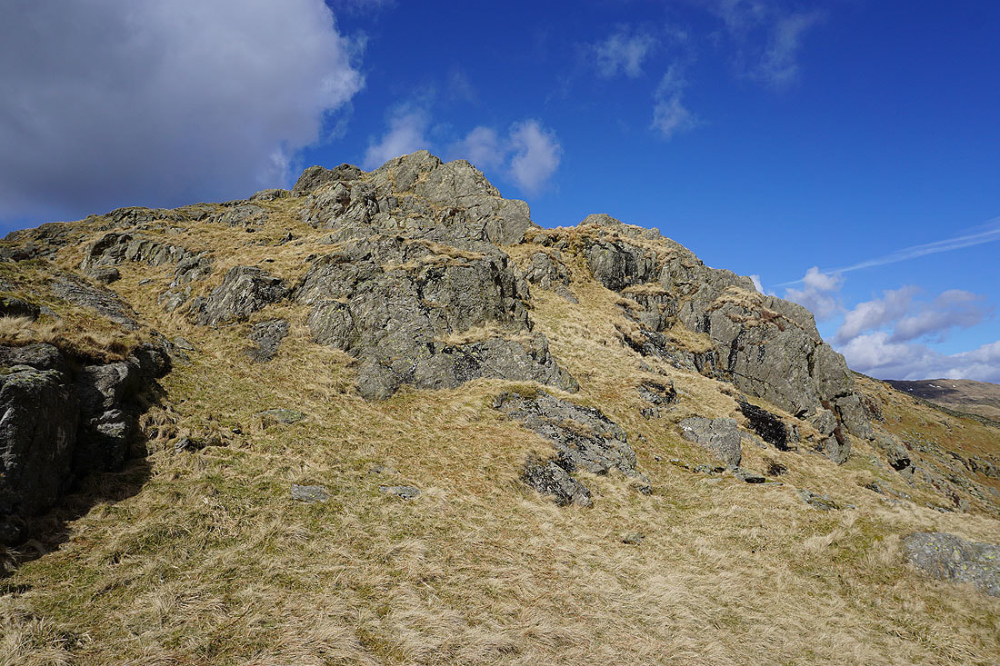
Haweswater from one of rocky outcrops on the way there
Distant fells start to appear as I approach the top
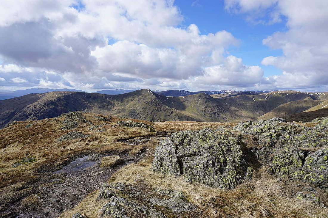
High Street, Blea Water, Rampsgill Head, Kidsty Pike and High Raise
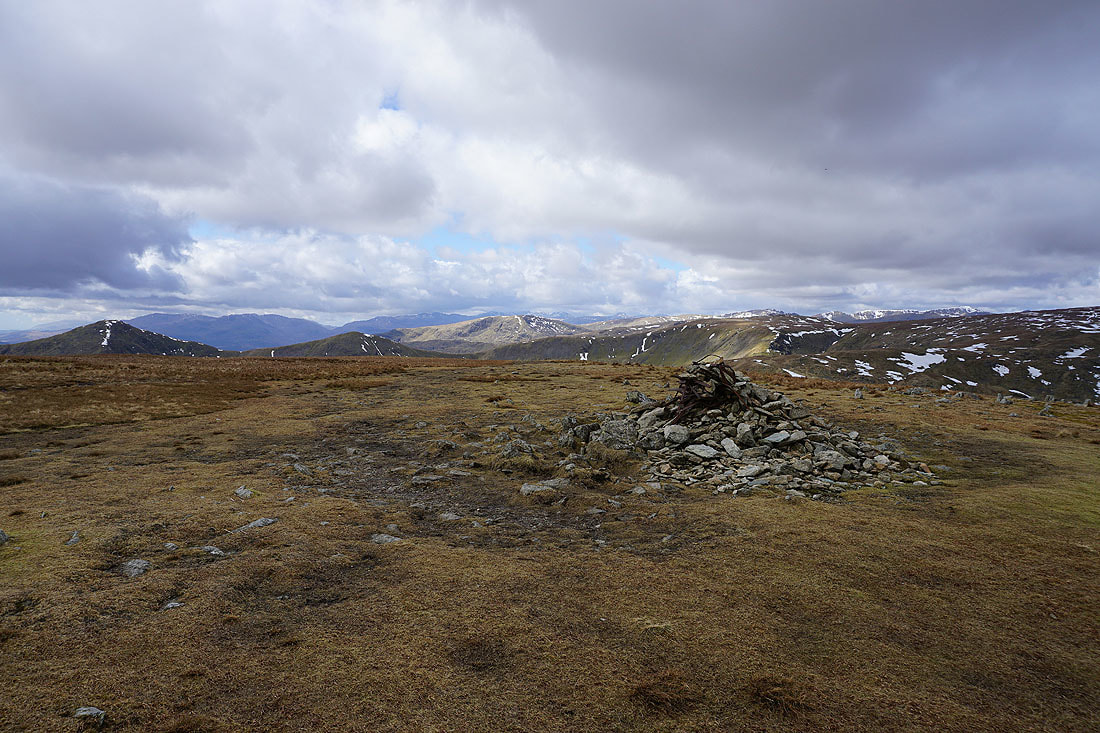
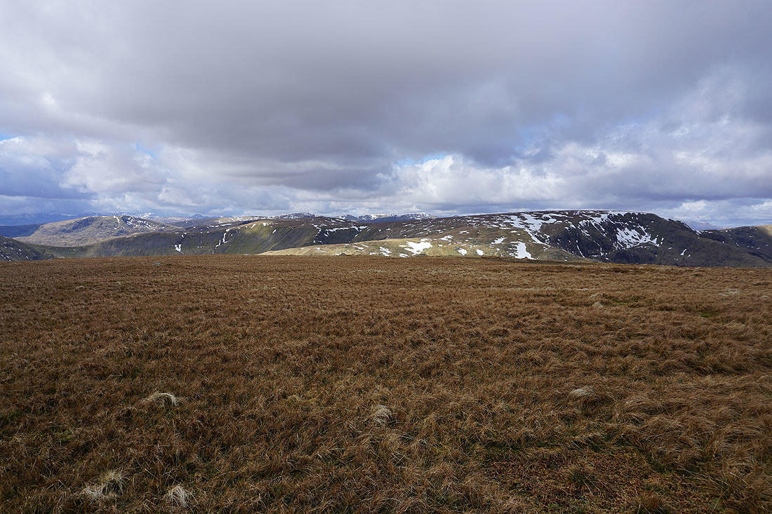
On the summit of Harter Fell. Fells in view in the distance include the Coniston fells, Crinkle Crags, Scafell Pike and Great Gable.
Cross Fell and the North Pennines in the distance to the east
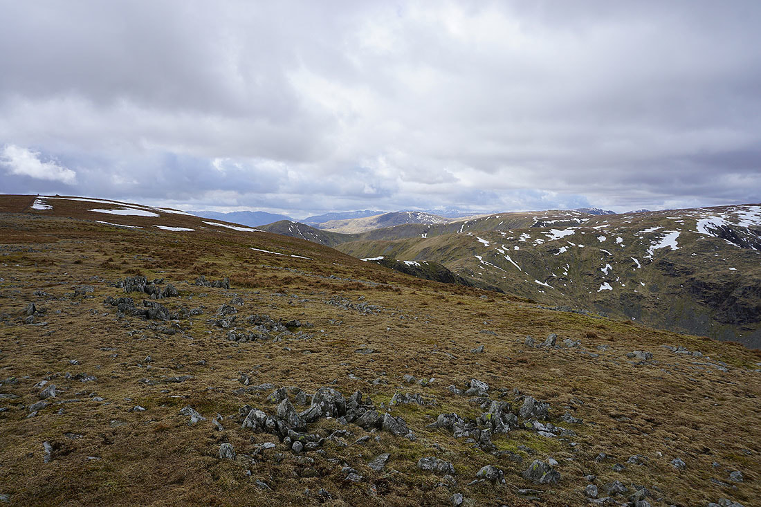
Tarn Crag and the Shap fells to the southeast with the fells of the Yorkshire Dales in the distance including the Howgills and Ingleborough
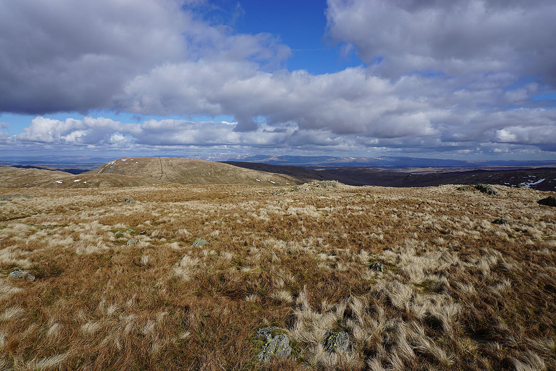
The ridge to Kentmere Pike
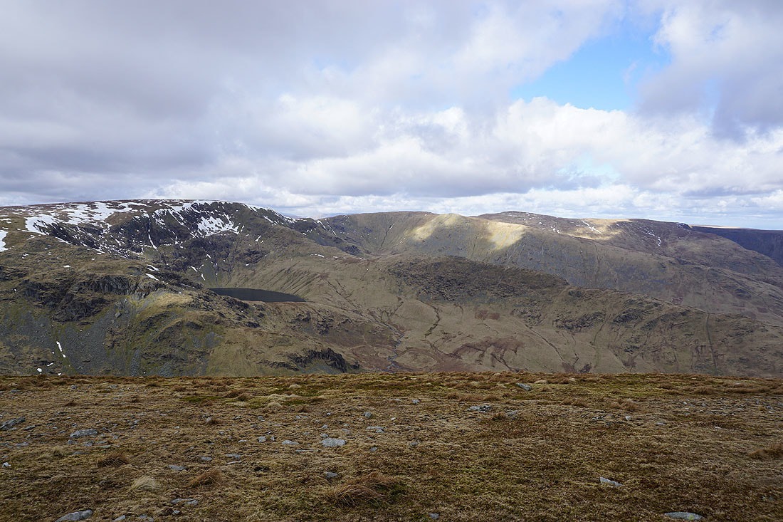
Caudale Moor, Fairfield, Helvellyn and High Street
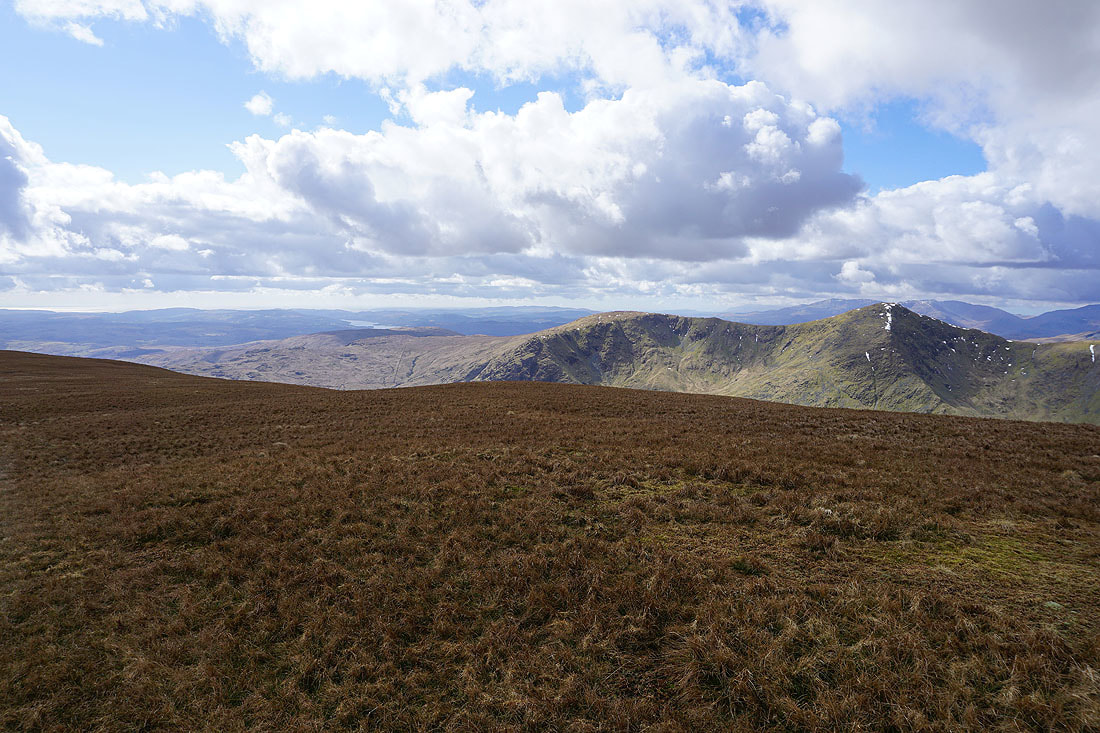
Windermere, Yoke and Ill Bell
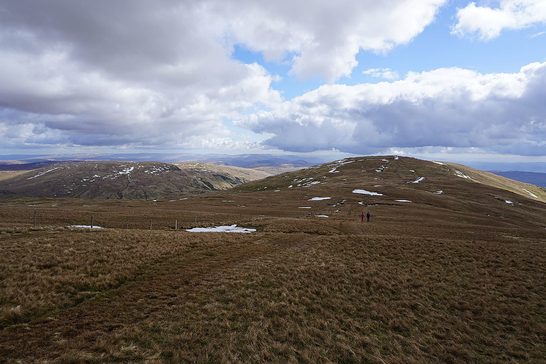
Heading for Kentmere Pike
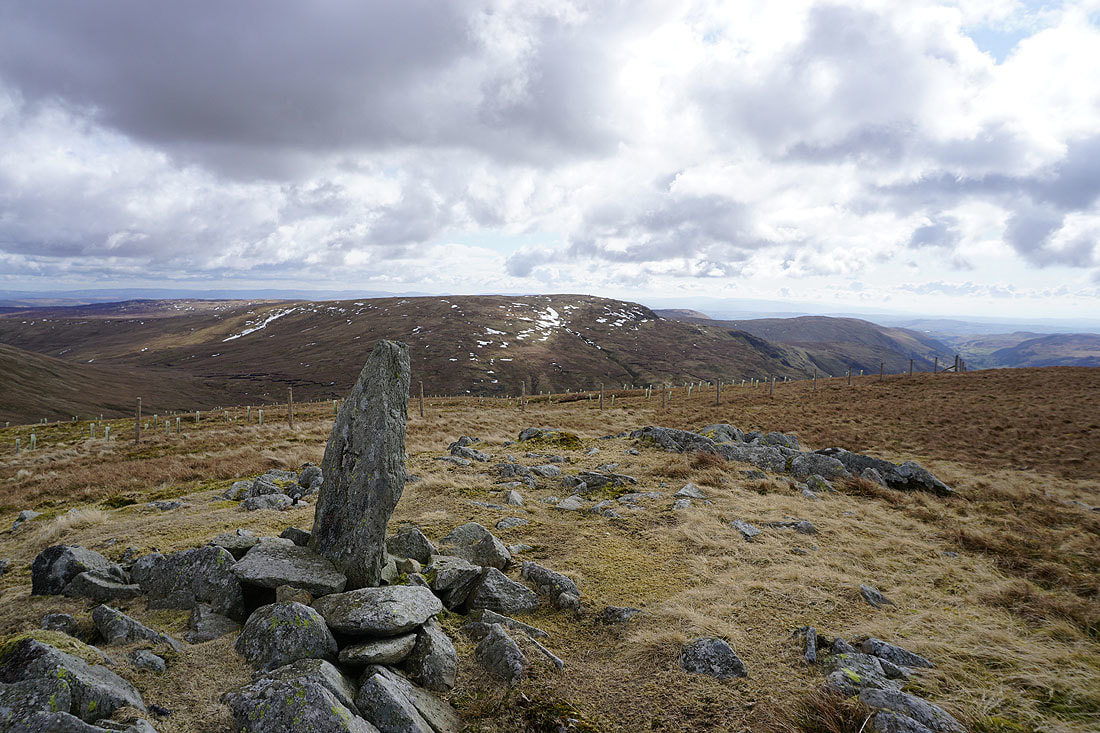
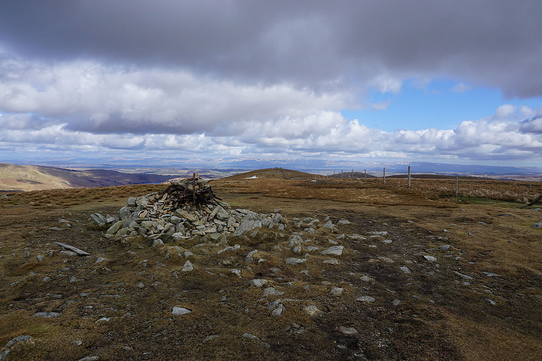
The trig point on the summit of Kentmere Pike
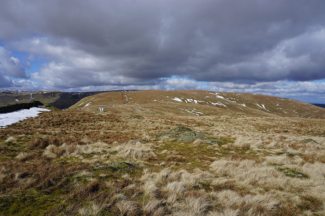
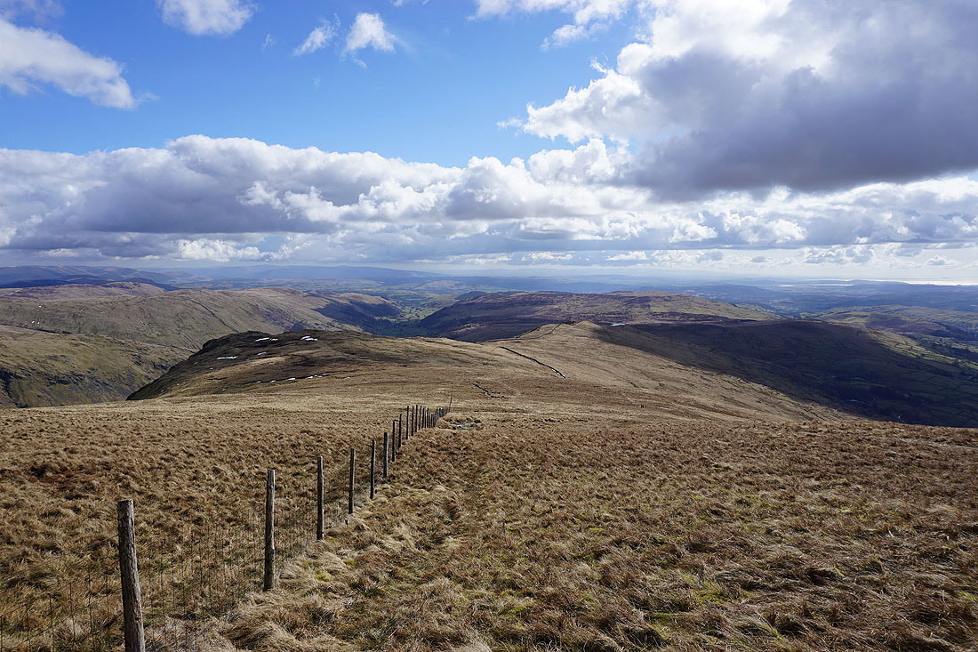
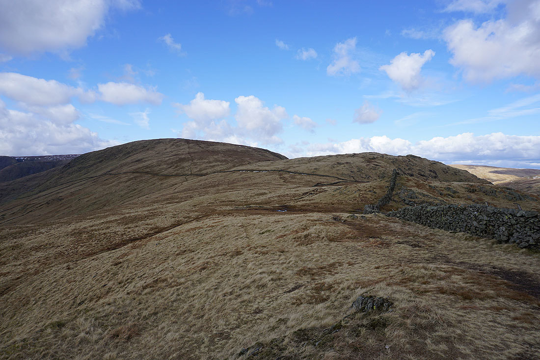
Looking north along the ridge to Harter Fell
Branstree on the left with Cross Fell and the North Pennines in the distance
Tarn Crag, Grey Crag and the Shap fells with the fells of the Yorkshire Dales in the distance
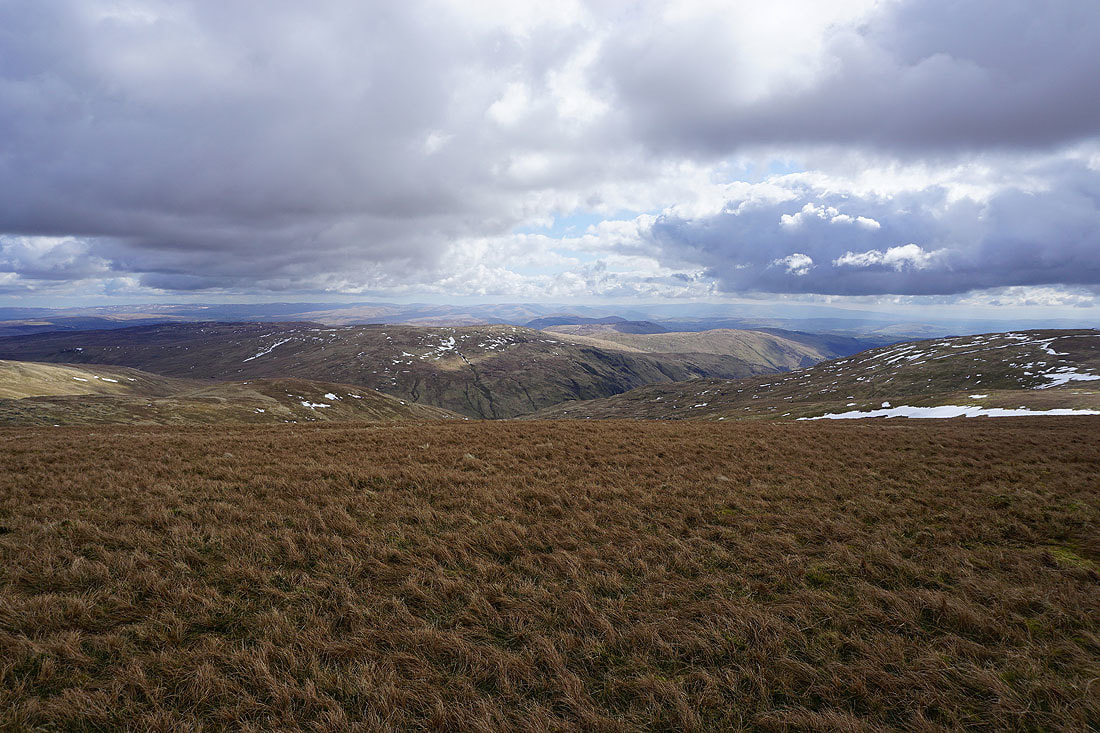
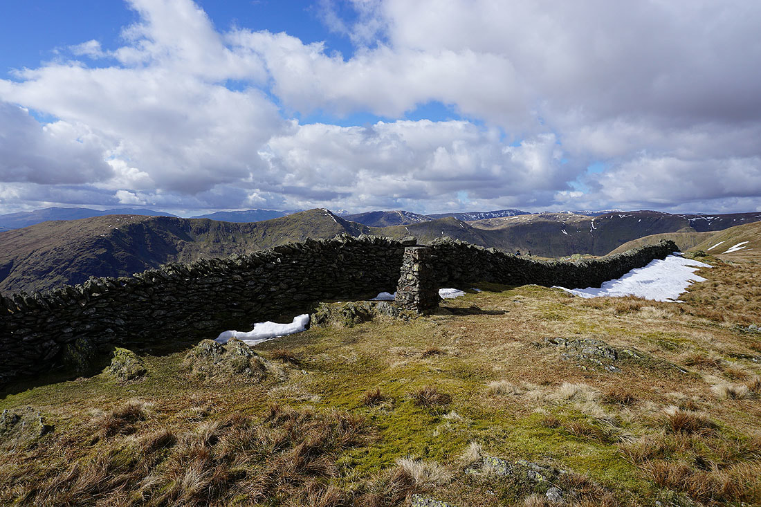
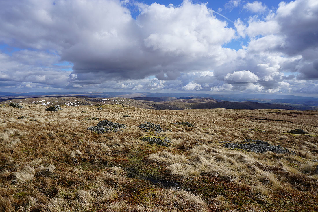
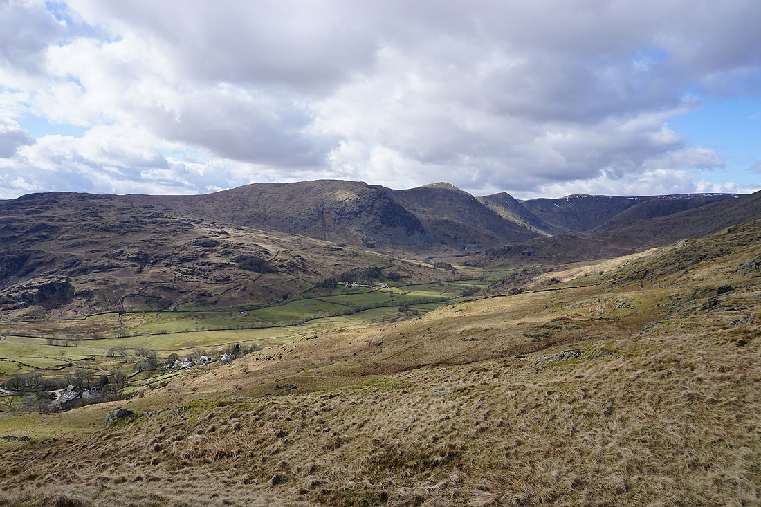
The view south down the ridge towards Shipman Knotts
On the other side of the wall for a better view of the Ill Bell ridge
Heading for Shipman Knotts, but first I'm going to make a detour to the top of Goat Scar on the left
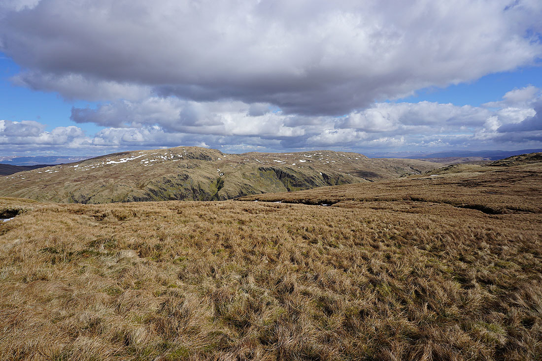
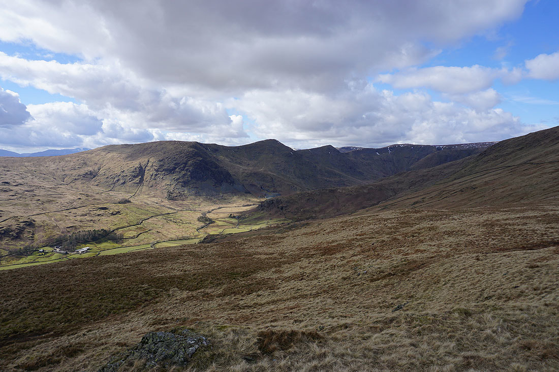
Tarn Crag and Grey Crag on the other side of a hidden Longsleddale
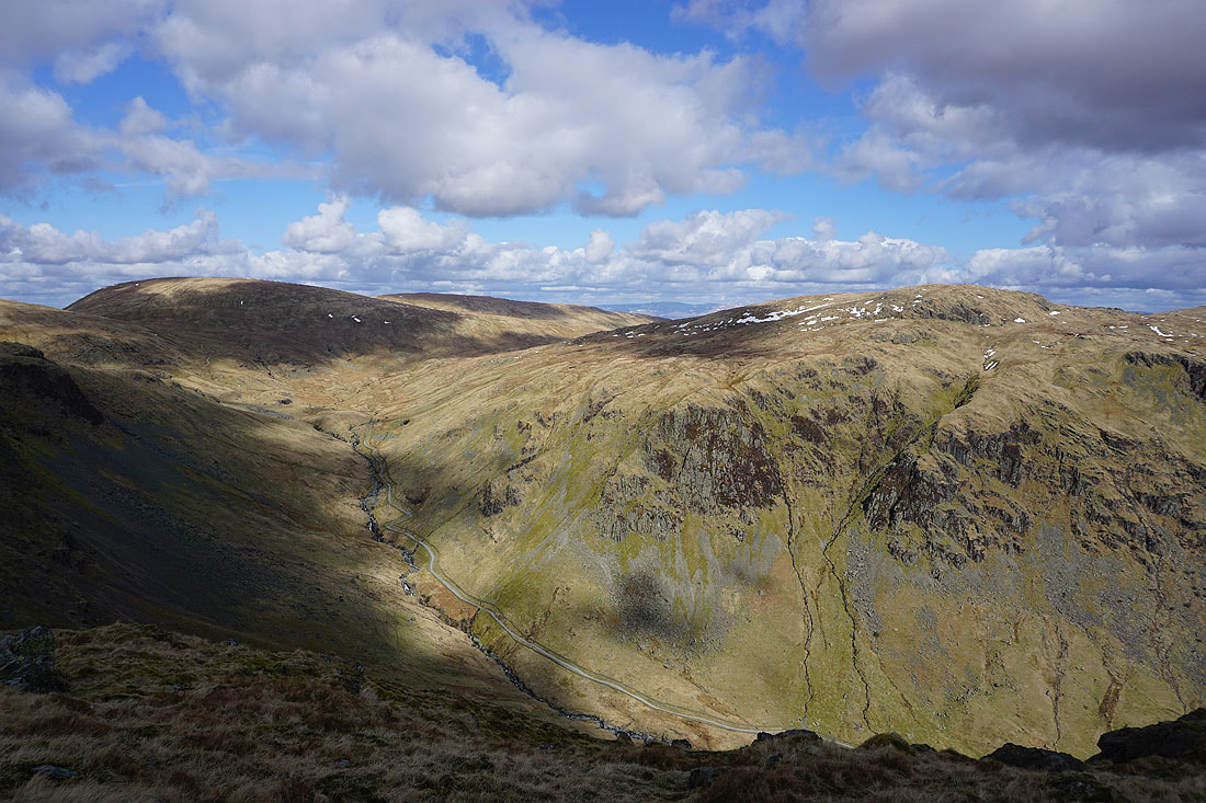
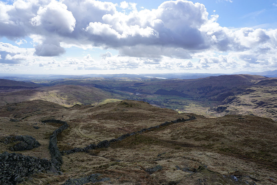
On the top of Goat Scar. Branstree, Selside Pike and Tarn Crag across Longsleddale. The byway I was following up to the Gatescarth Pass earlier can be seen below.
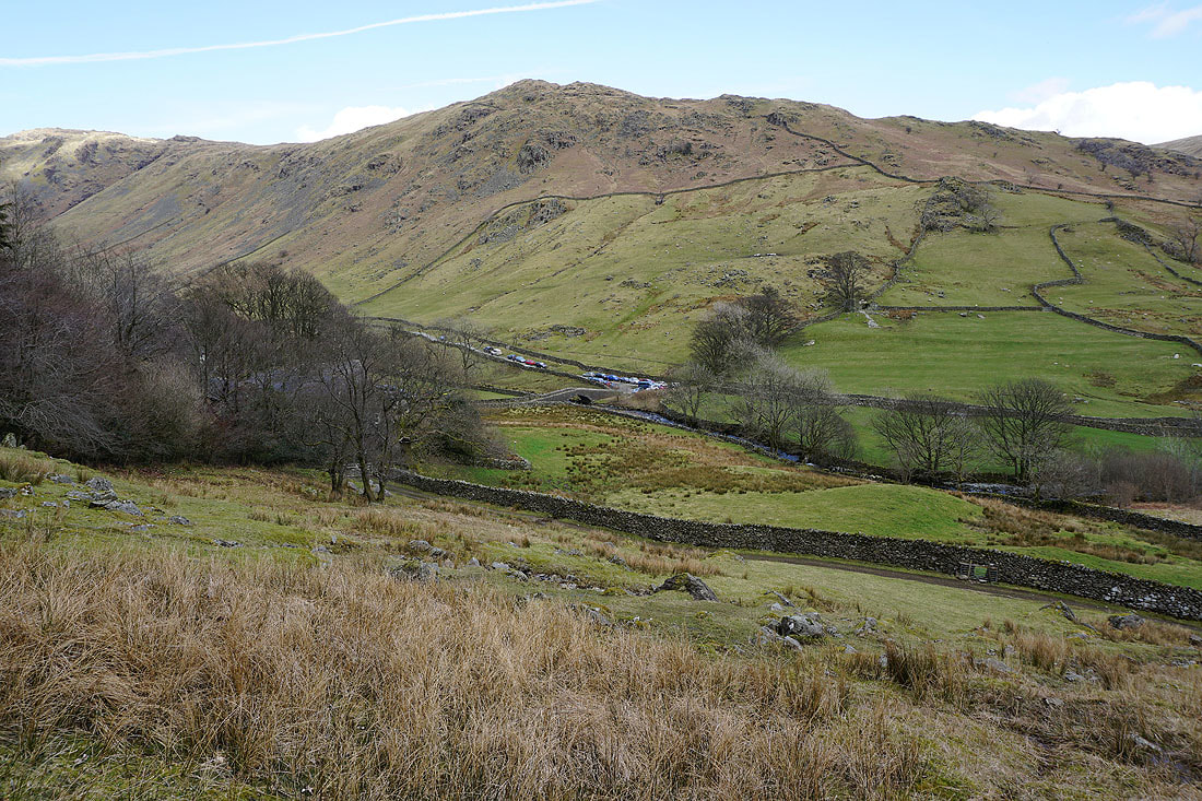
This is the best view from Goat Scar however. Looking south down Longsleddale.
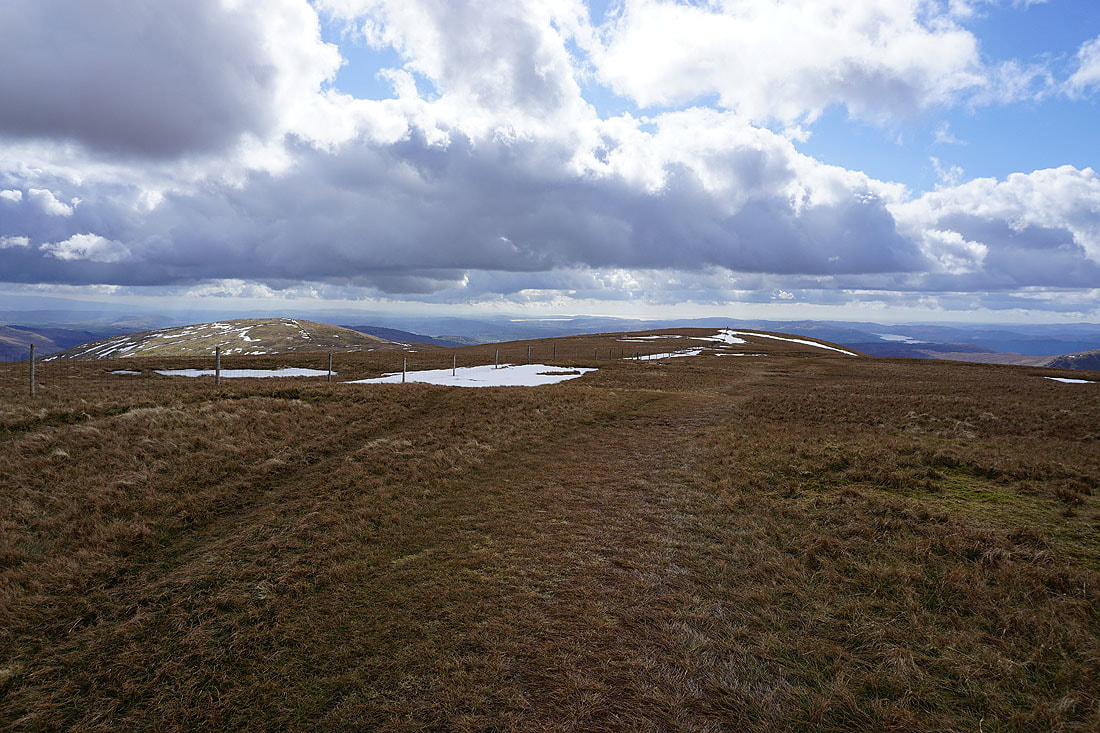
On Shipman Knotts. Looking north to Kentmere Pike and Goat Scar.
Kentmere and the Ill Bell ridge
The lower part of Kentmere with a bit of Windermere in the distance
As I follow the wall down Longsleddale appears to the left
I couldn't resist taking another photo of Kentmere, Yoke, Ill Bell and Froswick
nor this crag bathed in the afternoon sun beneath a blue sky
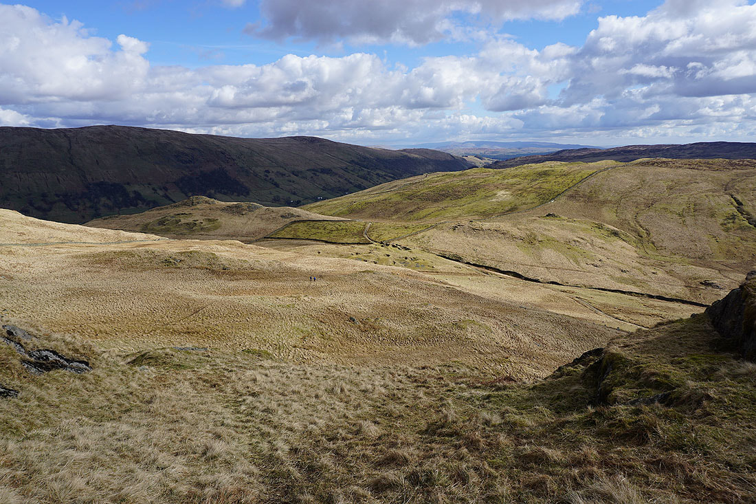
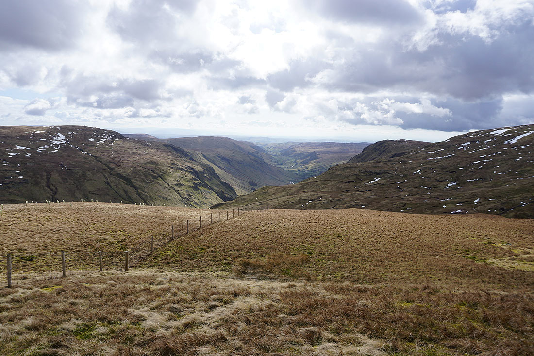
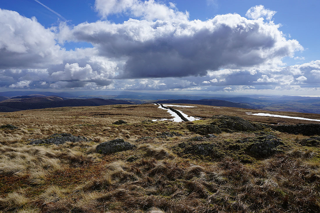
The final descent to the Stile End pass between Longsleddale and Kentmere
On the byway back to Sadgill and where I started from..