25th March 2023 - Pendle Hill
Walk Details
Distance walked: 11.2 miles
Total ascent: 1758 ft
OS map used: OL41 - Forest of Bowland & Ribblesdale
Time taken: 6 hrs
Route description: Downham-Worsaw Hill Farm-West Lane-Pendleton Hall-Pendleton-Wymondhouses Farm-Nick of Pendle-Pendleton Moor-Mearley Moor-Worston Moor-Downham Moor-Pendle Hill-Downham Moor-Pendle Road-Downham
I've been off work this week and had hoped that a few of the days would have good enough weather for getting out walking on. Sadly only Wednesday fit the bill in that regard. Nevermind, there's still the weekend, but that's looking changeable as well. Today had originally been forecast to be a fine day, but the nearer it got the worse it looked like it was going to be. In the end it was a day of rain clearing away to the east to leave improving weather during the afternoon. I decided to head for Downham at lunchtime and have a walk up Pendle Hill, going the long way round for getting to the top in the hope of having the best weather of the day when I was up there. That proved to be the case. There were still spots of rain in the wind when I left Downham, and it was only when I was on Worston Moor that the cloud finally started to break up and the sun came out. It was worth the late start though for the views from Pendle Hill in the late afternoon sunshine.
From the car park in Downham I left the village by taking a footpath southwest across fields to the north of West Lane to reach Worsaw Hill Farm, and from there I walked along the farm's access track to West Lane, which I walked up past Angram Green Farm to reach a footpath on the left. I took this path across fields to reach a bridleway and track where I turned left and walked south along it to Pendleton Hall and Clitheroe Road. After crossing Clitheroe Road I walked along the road to Pendleton and once past All Saints Church I took a public footpath on the left up a track and then up through fields to Wymondhouses Farm, and then up to the Nick of Pendle. Once across the road over the Nick of Pendle I made my way up onto Pendleton Moor. When the path started to swing across towards Ogden Clough I left it for one across the top of Howcroft Brook and onto Mearley Moor. I then followed the wall north towards the Scout Cairn on the top of Worston Moor, onwards over Downham Moor and to the trig point and summit. After taking in the view I made my way back to Downham Moor to take the footpath down to Pendle Road. I then took the footpath opposite that makes its way across fields to head back to Downham.
Route map
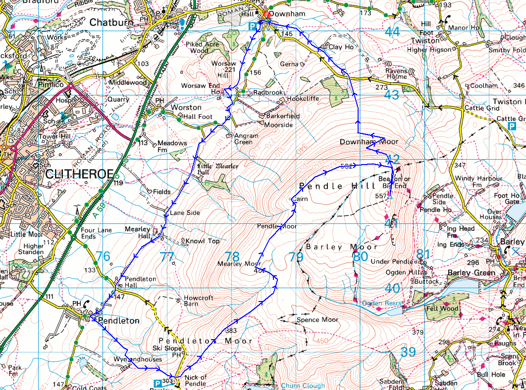
© Crown copyright. All rights reserved. License number PU 100034184.
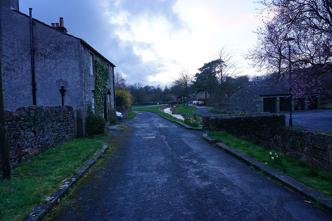
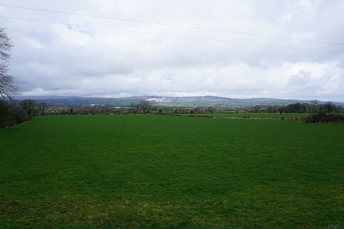
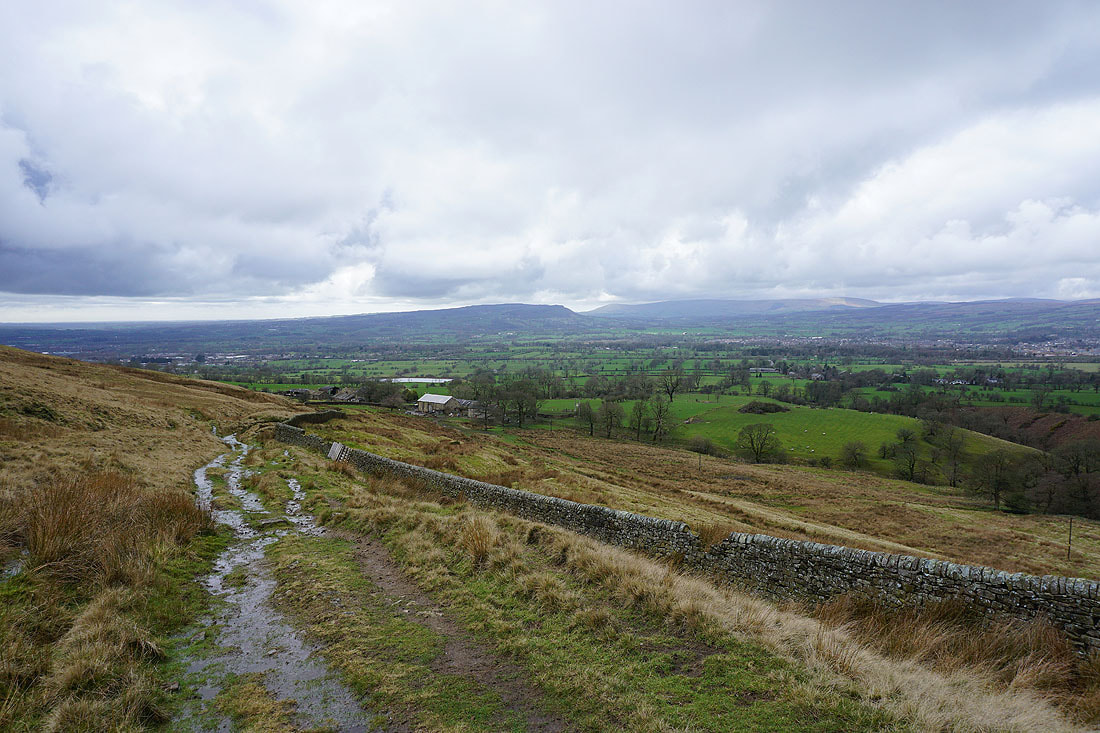
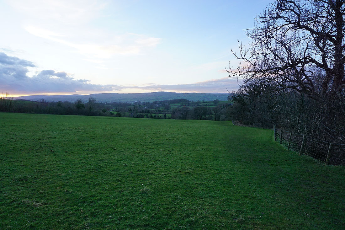
Signs of it brightening up as I leave Downham
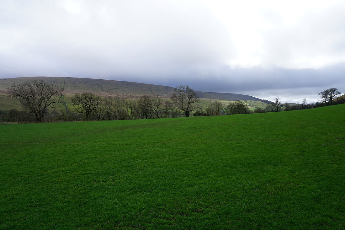
Dark clouds over Pendle Hill
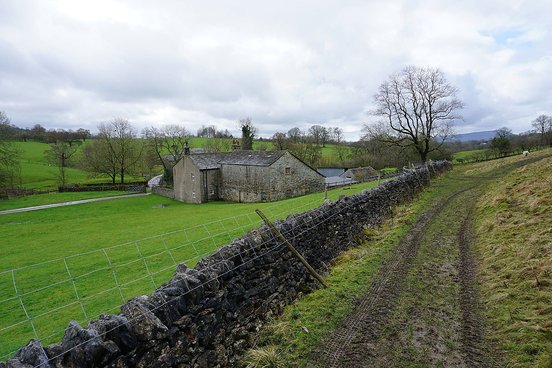
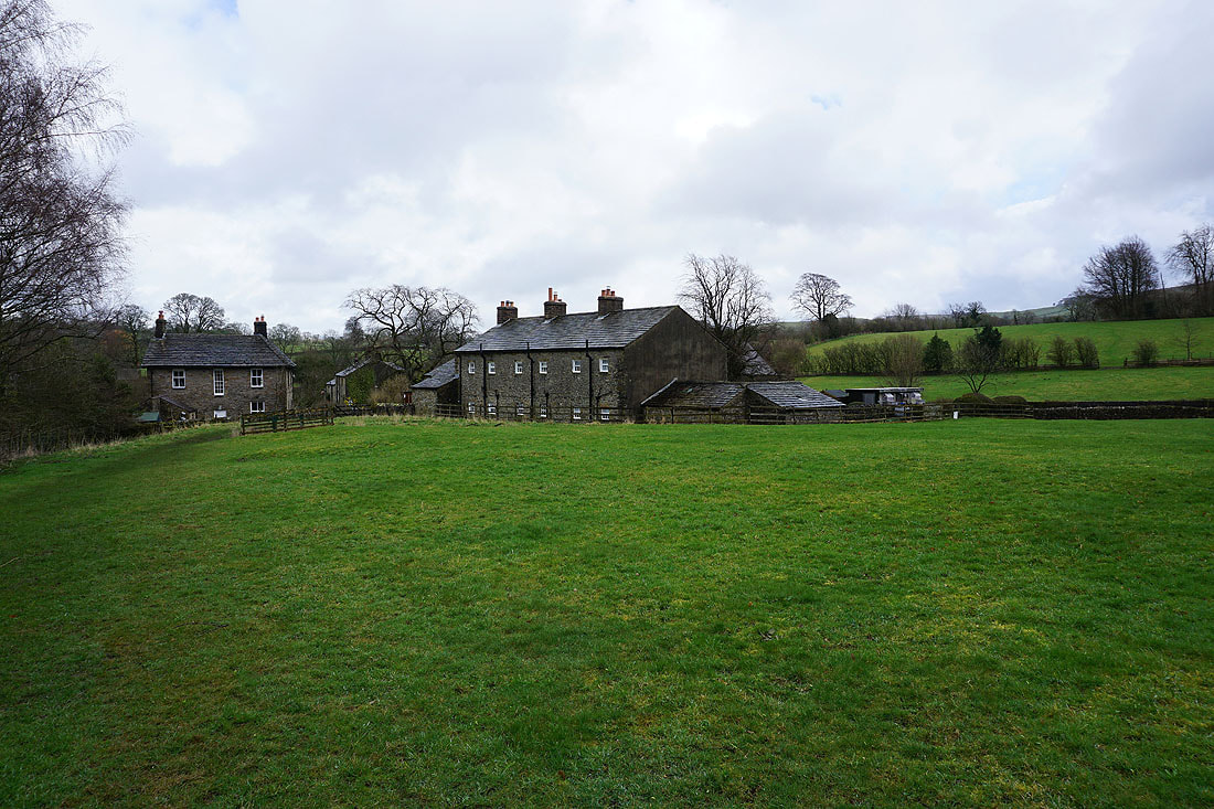
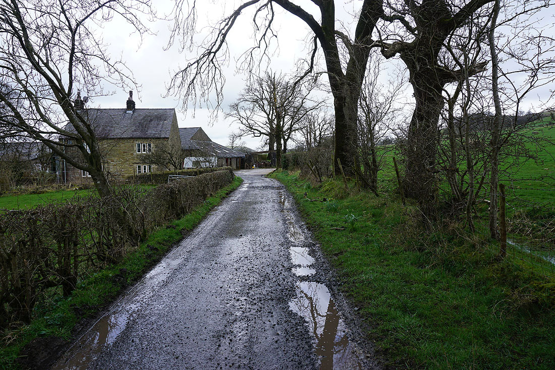
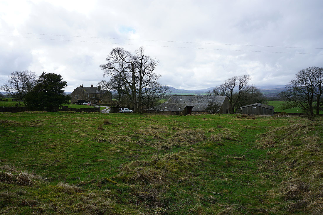
Reaching Worsaw Hill Farm
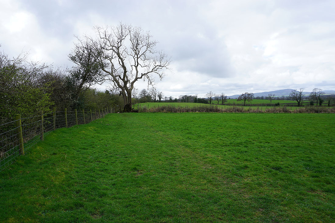
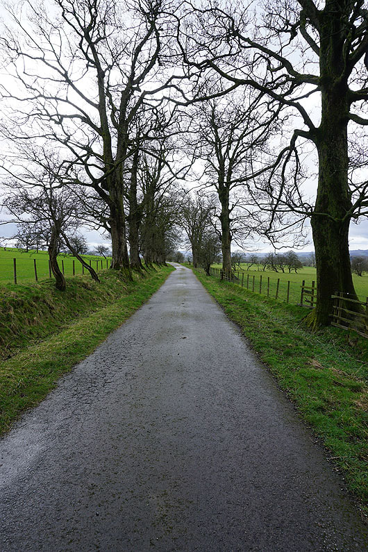
Leaving West Lane, I take a footpath across fields to reach the bridleway to Pendleton Hall
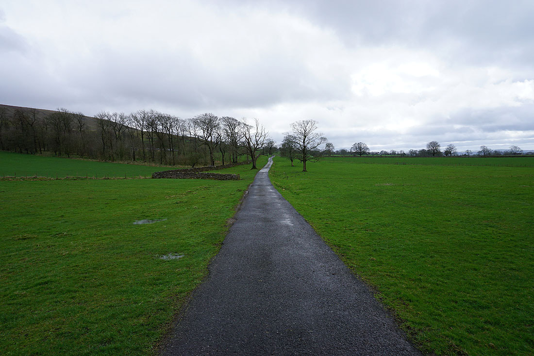
Following the bridleway south
Little Mearley Hall to my left
To my right, Waddington Fell on the other side of the Ribble Valley
Past Lane Side Farm
and Mearley Hall
Past Mearley Hall and the bridleway follows a track south to Pendleton Hall and Clitheroe Road
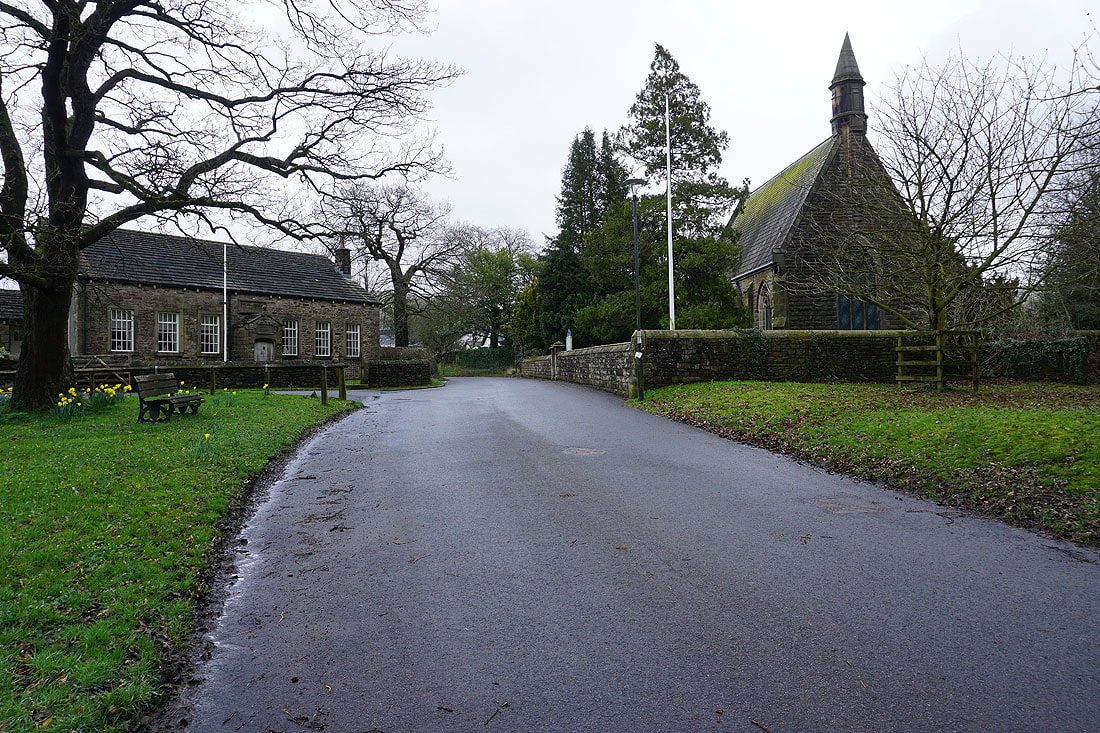
In Pendleton, with All Saints Church on the right
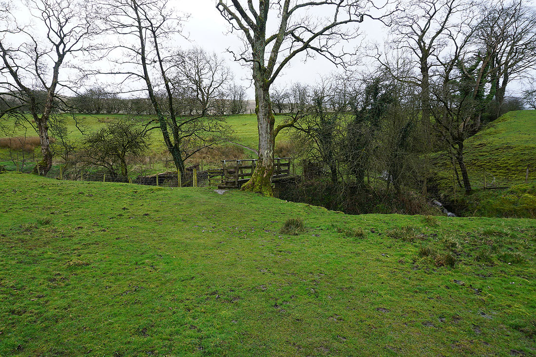
Leaving Pendleton I take a footpath up through fields, across Swardean Clough..
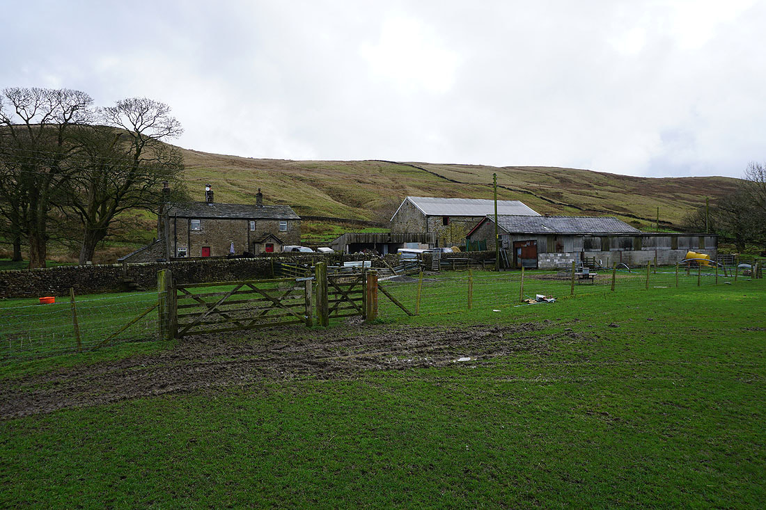
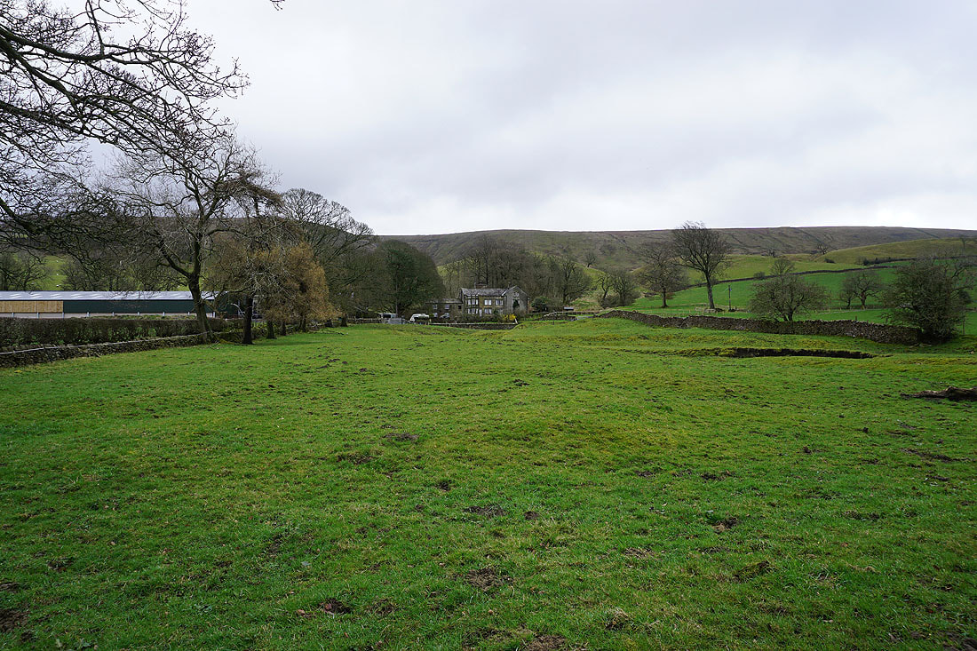
..and up to Wymondhouses Farm
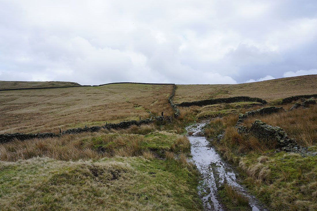
On the path up to the Nick of Pendle
Looking back to Wymondhouses and across the Ribble Valley to Longridge Fell, Parlick, Fair Snape Fell, and Totridge
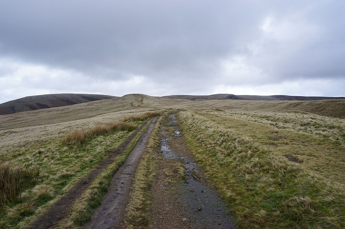
The bulk of Pendle Hill is now ahead of me after crossing the Nick of Pendle
Looking across Clitheroe and the Ribble Valley to Longridge Fell, Parlick, Fair Snape Fell, and Totridge
and back to the Nick of Pendle and The Rough
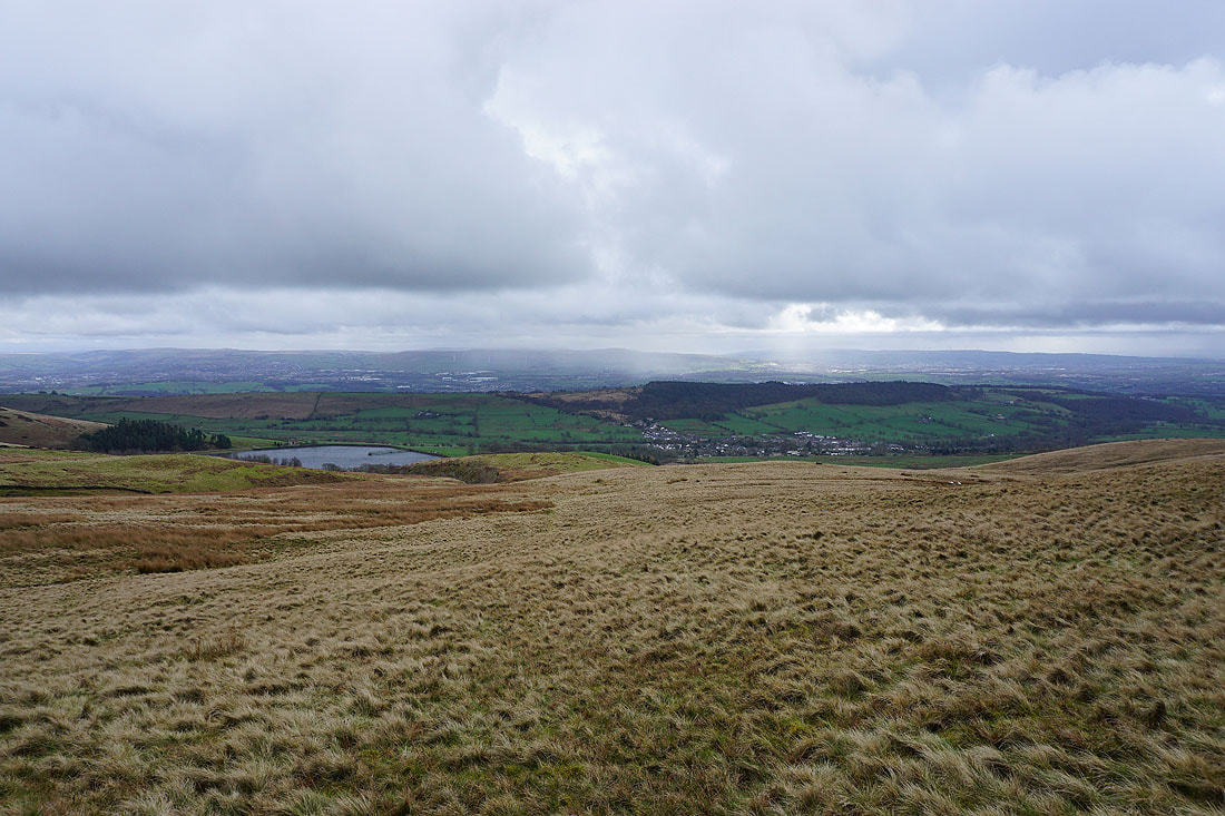
Churn Clough Reservoir, Sabden and the wooded Black Hill below, with Hameldon Hill and the West Pennine Moors in the distance
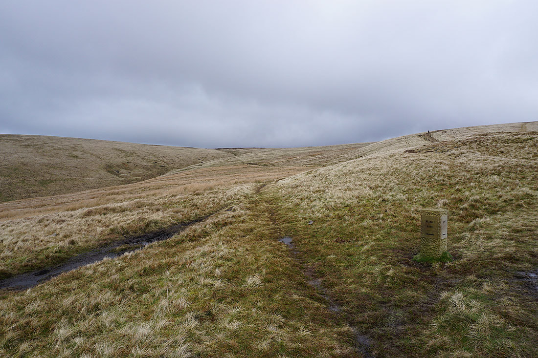
I leave the path to Ogden Clough and the summit, and take the one to Mearley Moor
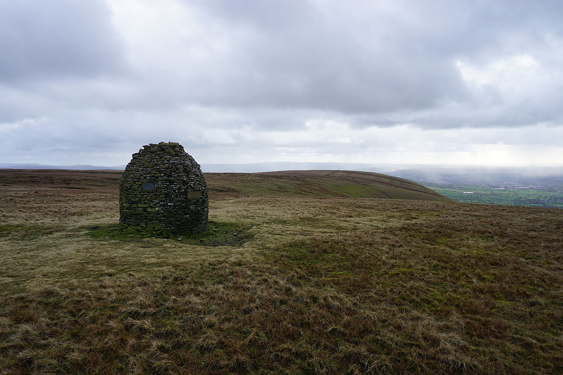
At the Clayton-le-Moors Harriers cairn at the western end of Mearley Moor
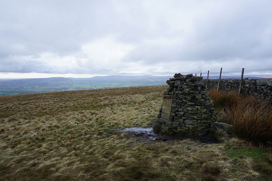
Looking across the Ribble Valley to Longridge Fell, Parlick, Fair Snape Fell, and Totridge
It definitely looks like there are brighter skies not too far away
The bulk of Pendle Hill rises to the northeast
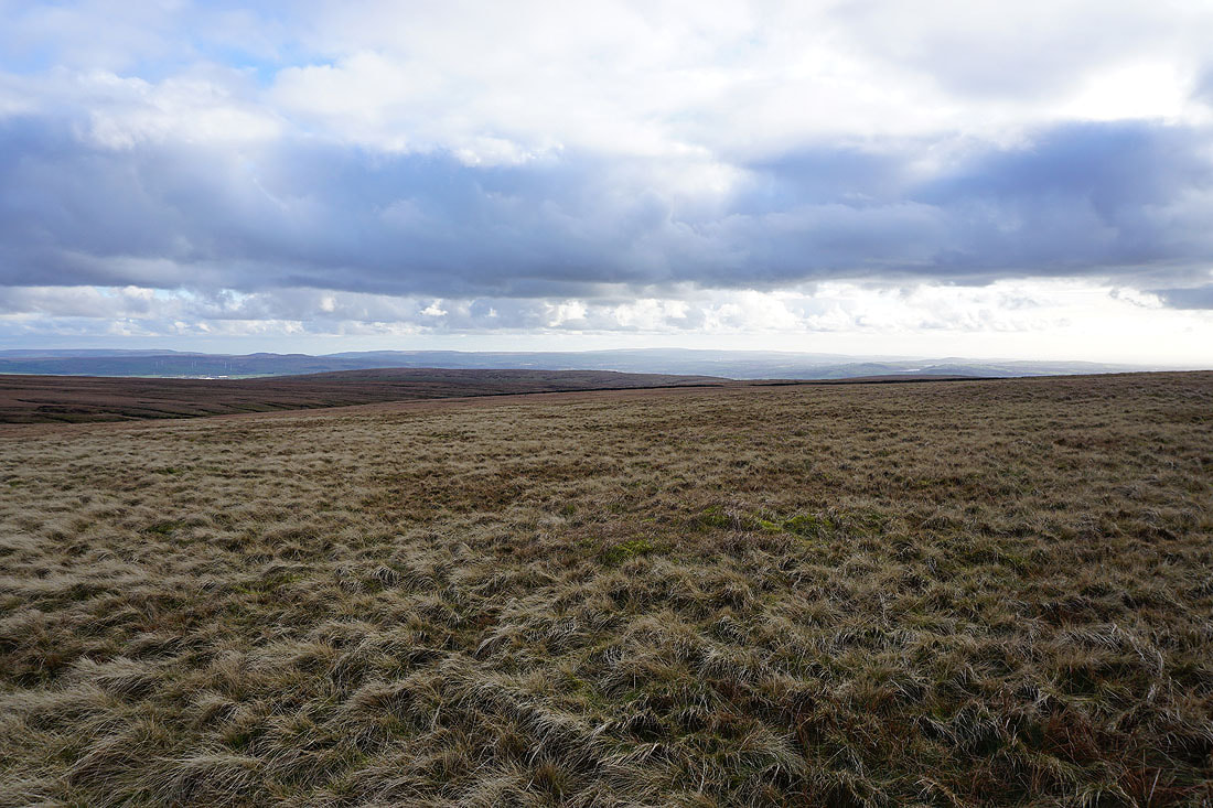
Heading north across Mearley Moor. I can just about make out the Yorkshire Dales in the distance.
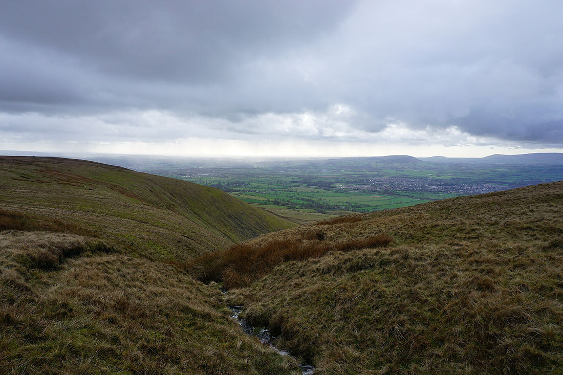
The Ribble Valley below as I cross the top of Mearley Brook
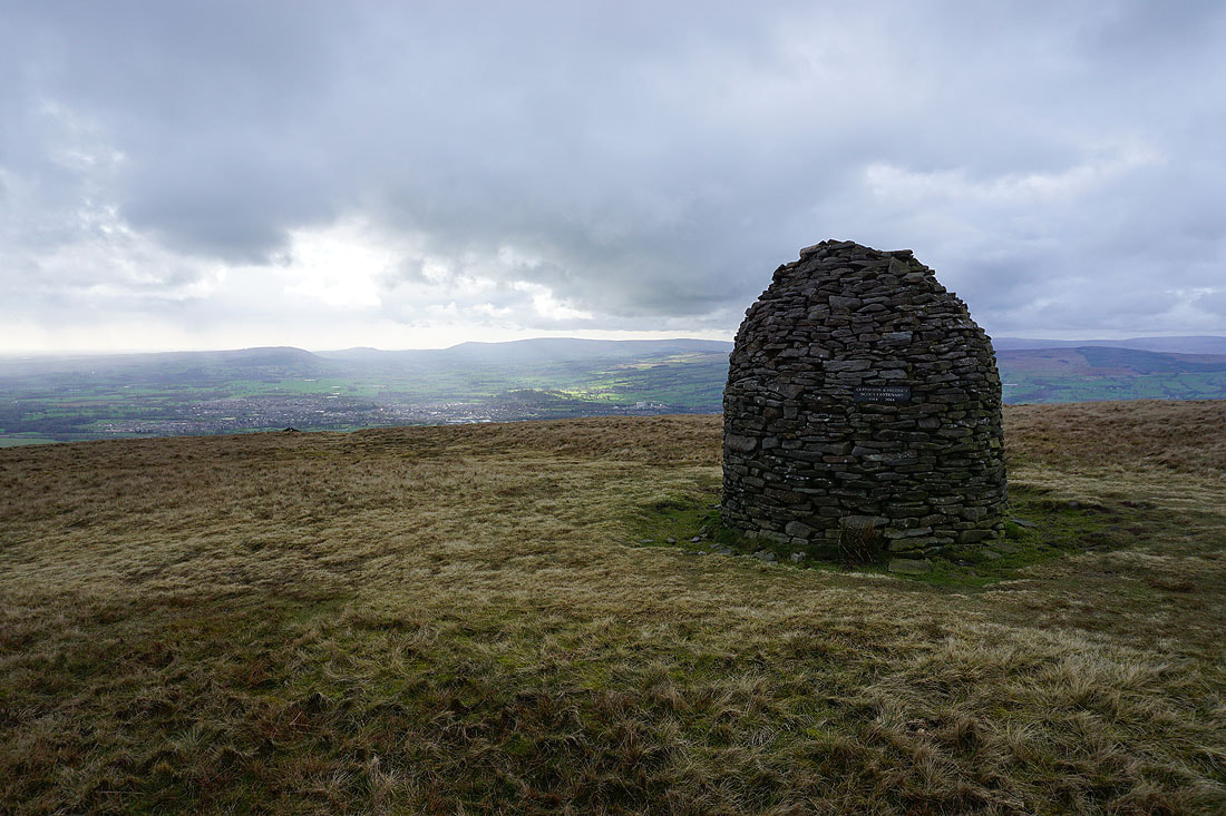
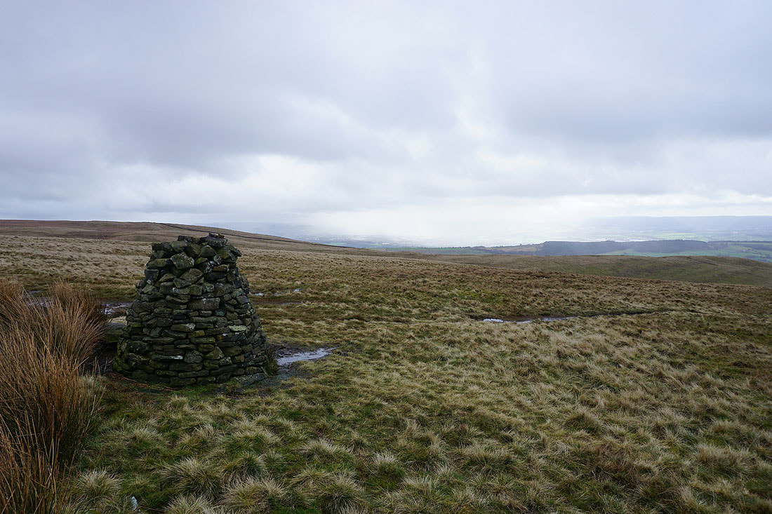
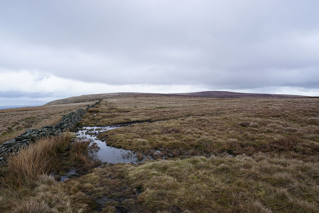
At the Scout Cairn, with the Forest of Bowland in the background. The cloud is starting to break up, though there's still a bit of light rain in the wind.
Looking back to Mearley Moor
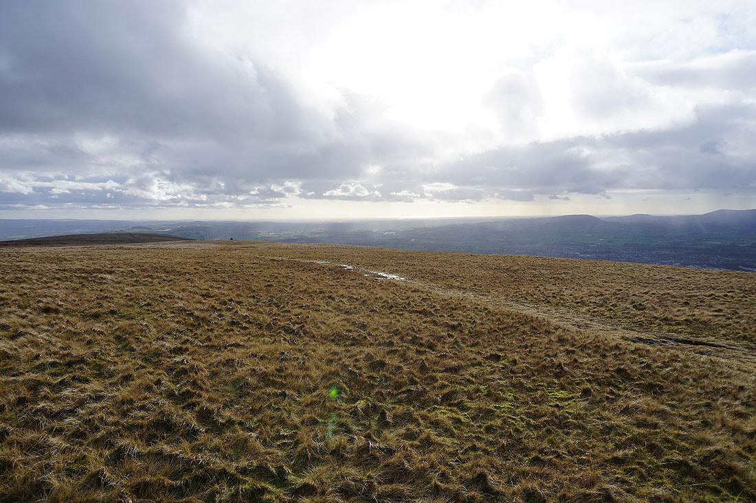
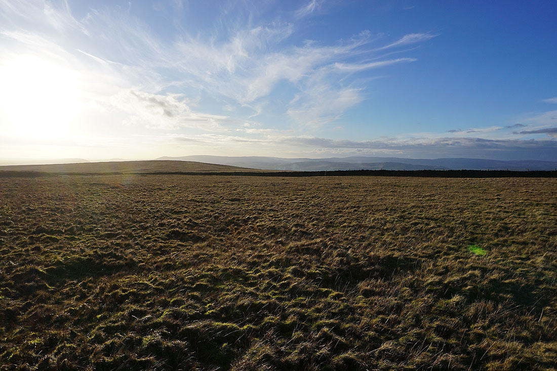
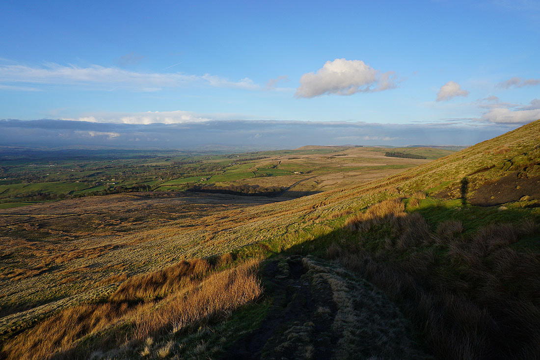
The sun comes out as I cross Worston Moor
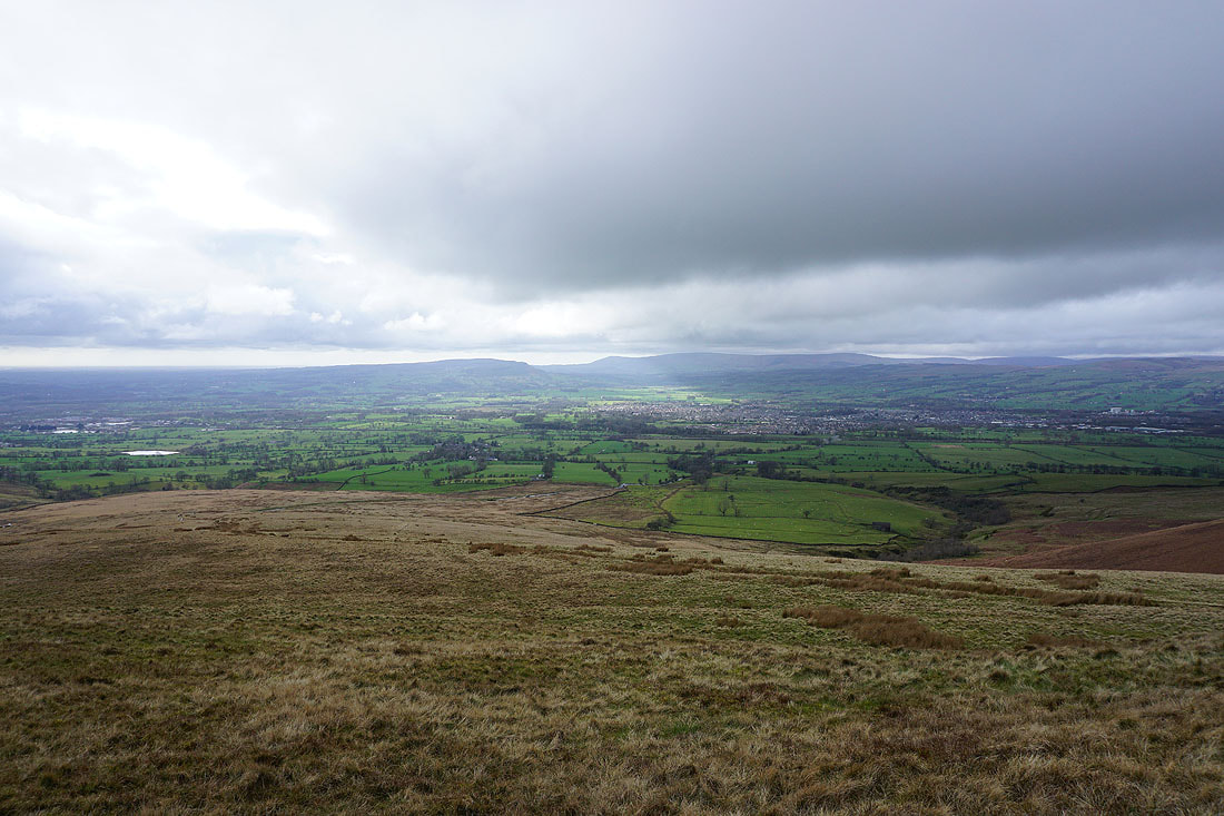
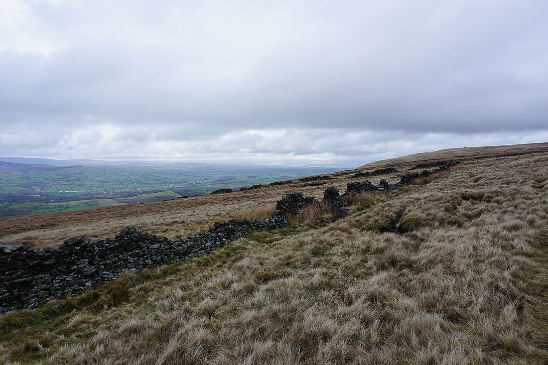
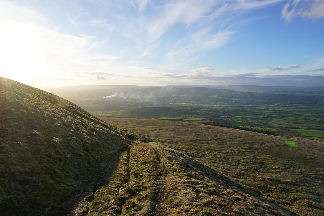
Looking up the Ribble Valley from the edge of Worston Moor..
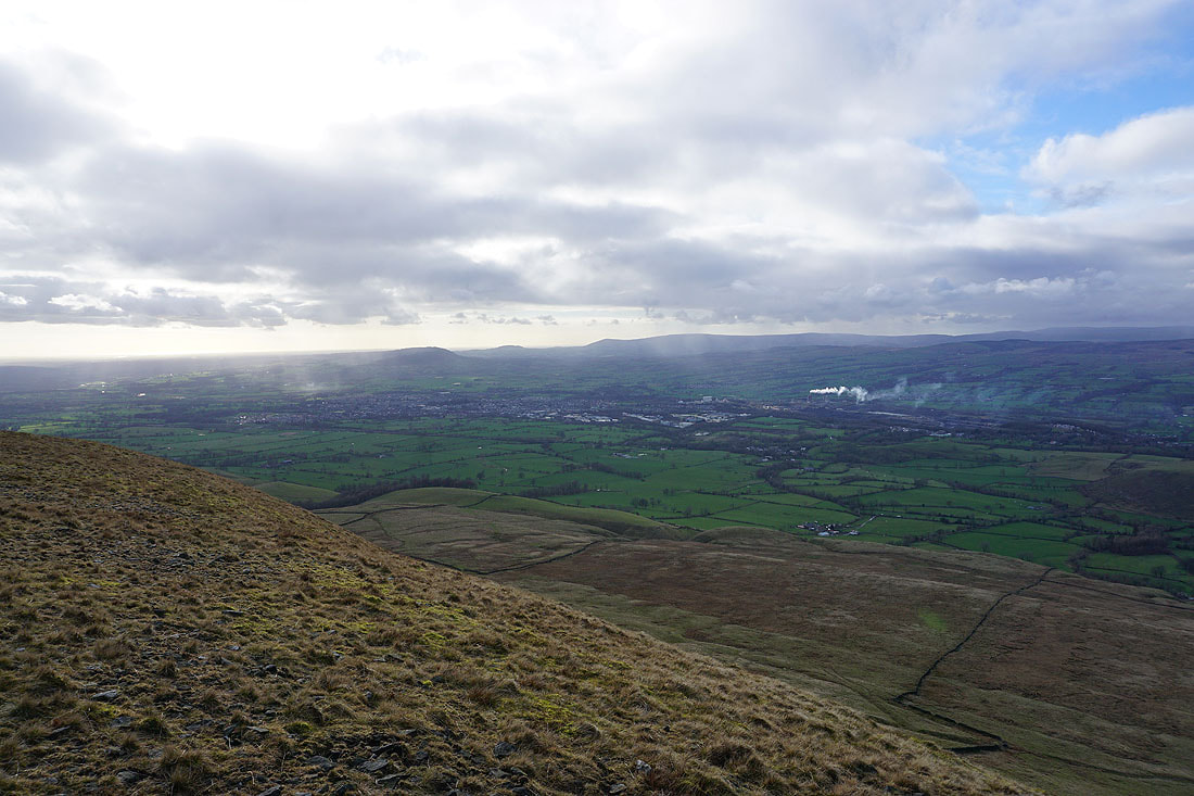
..and across to Clitheroe and the Forest of Bowland
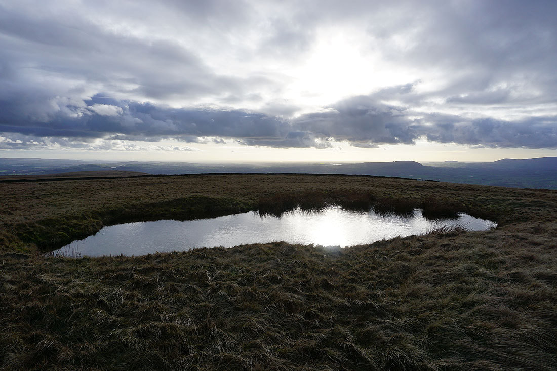
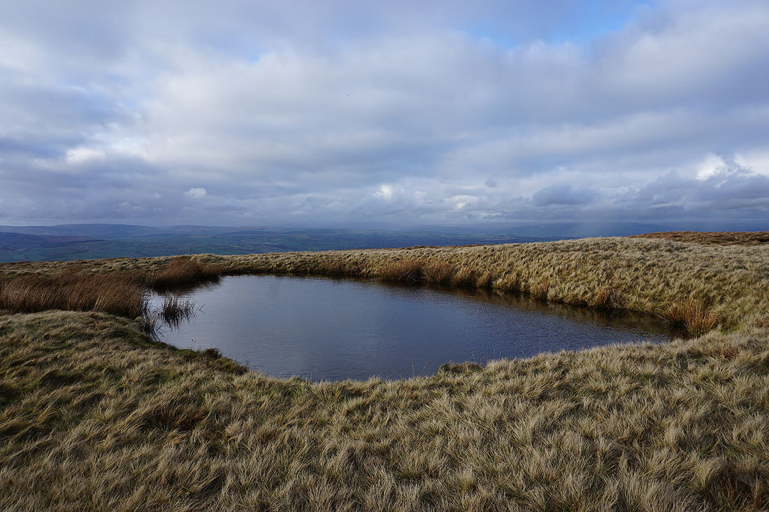
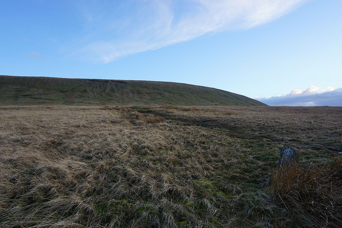
The pool on Downham Moor makes a good subject for a photo..
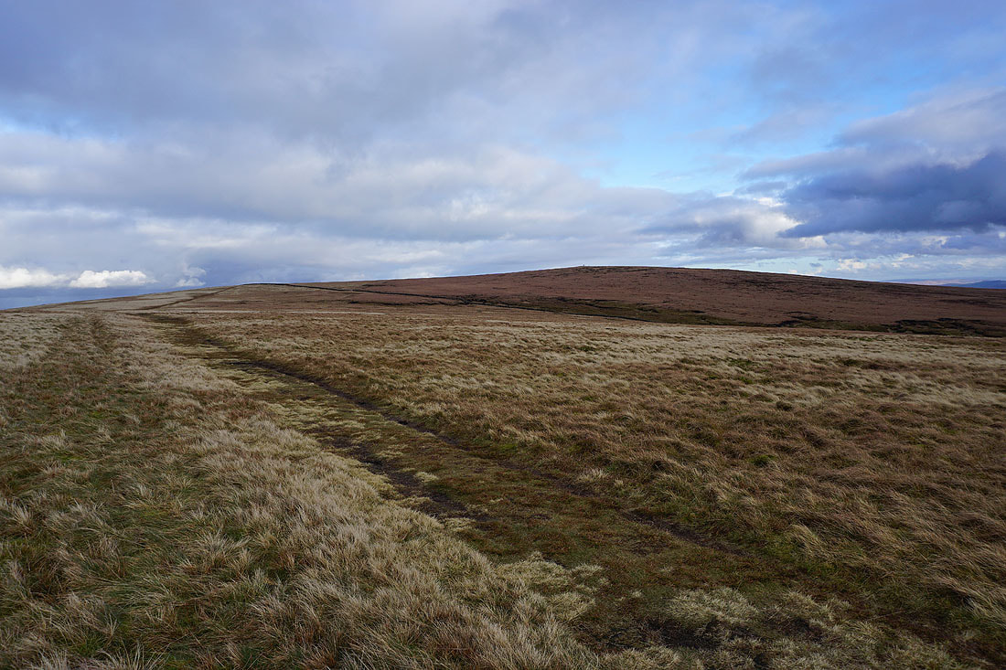
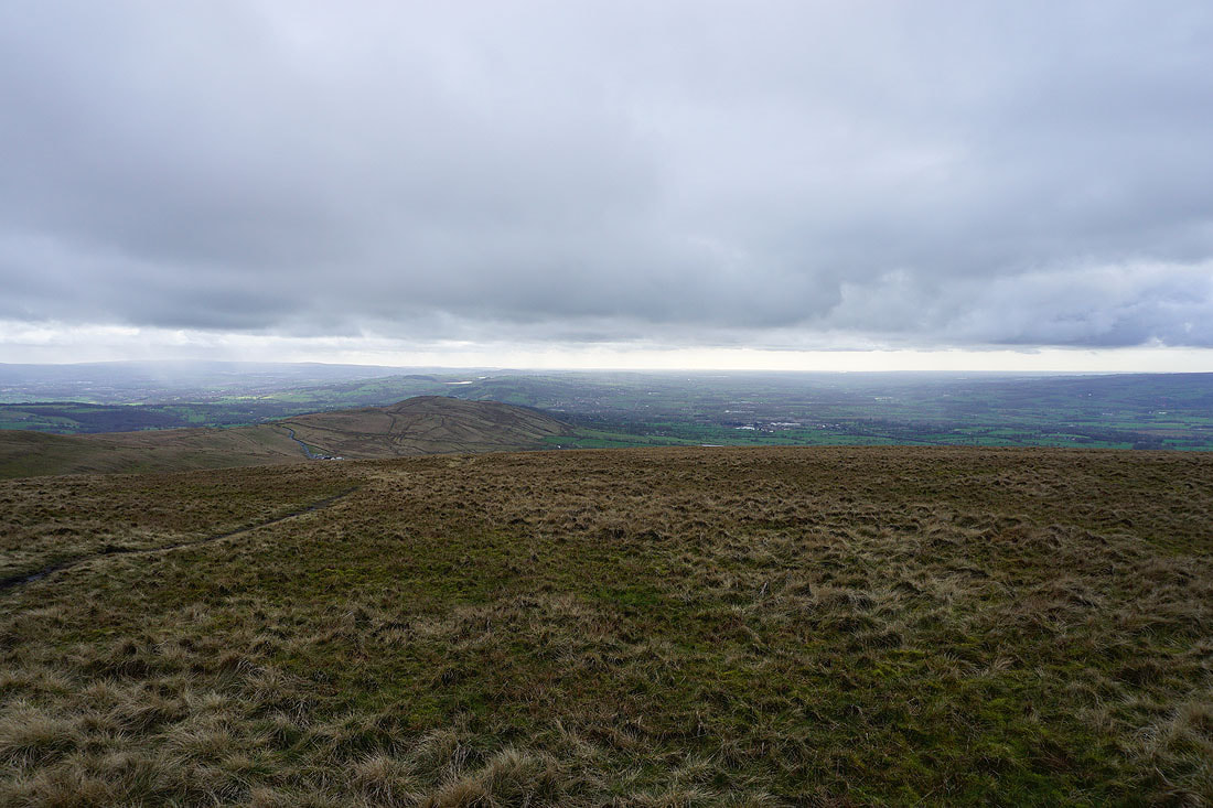
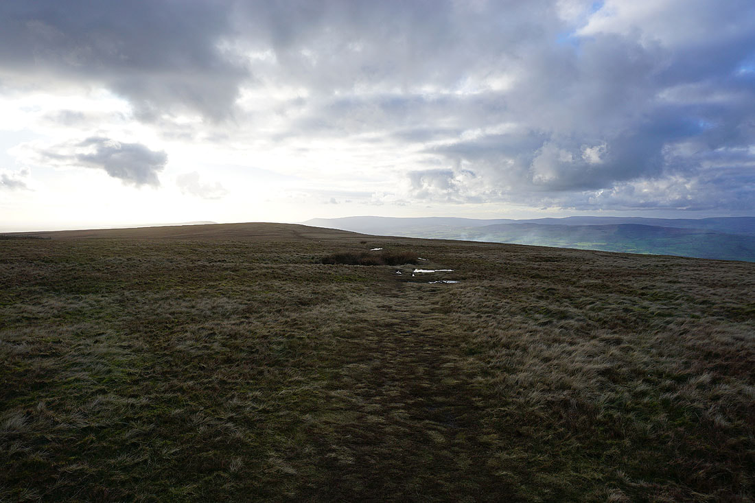
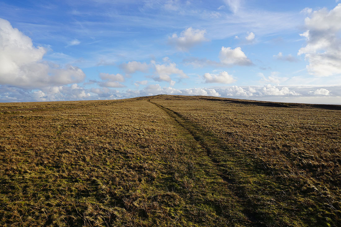
Looking across Downham Moor to the summit of Pendle Hill
The West Pennine Moors in the distance beyond Spence Moor
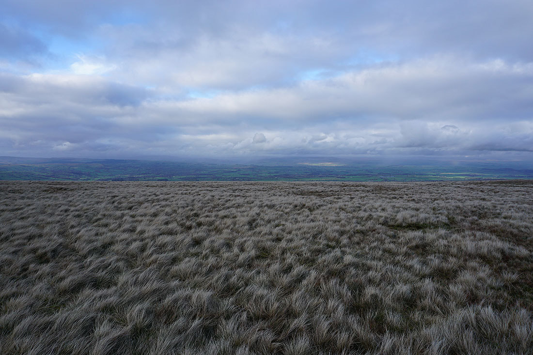
To the north the Yorkshire Dales are still largely hidden by low cloud
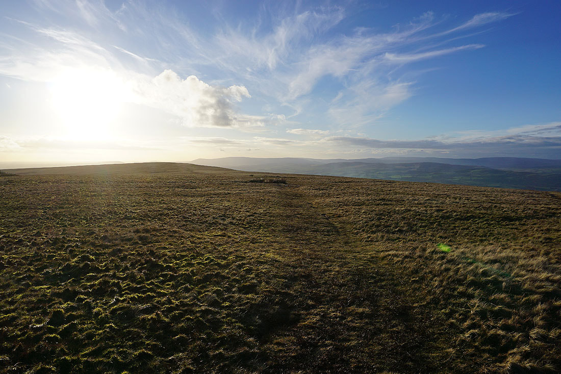
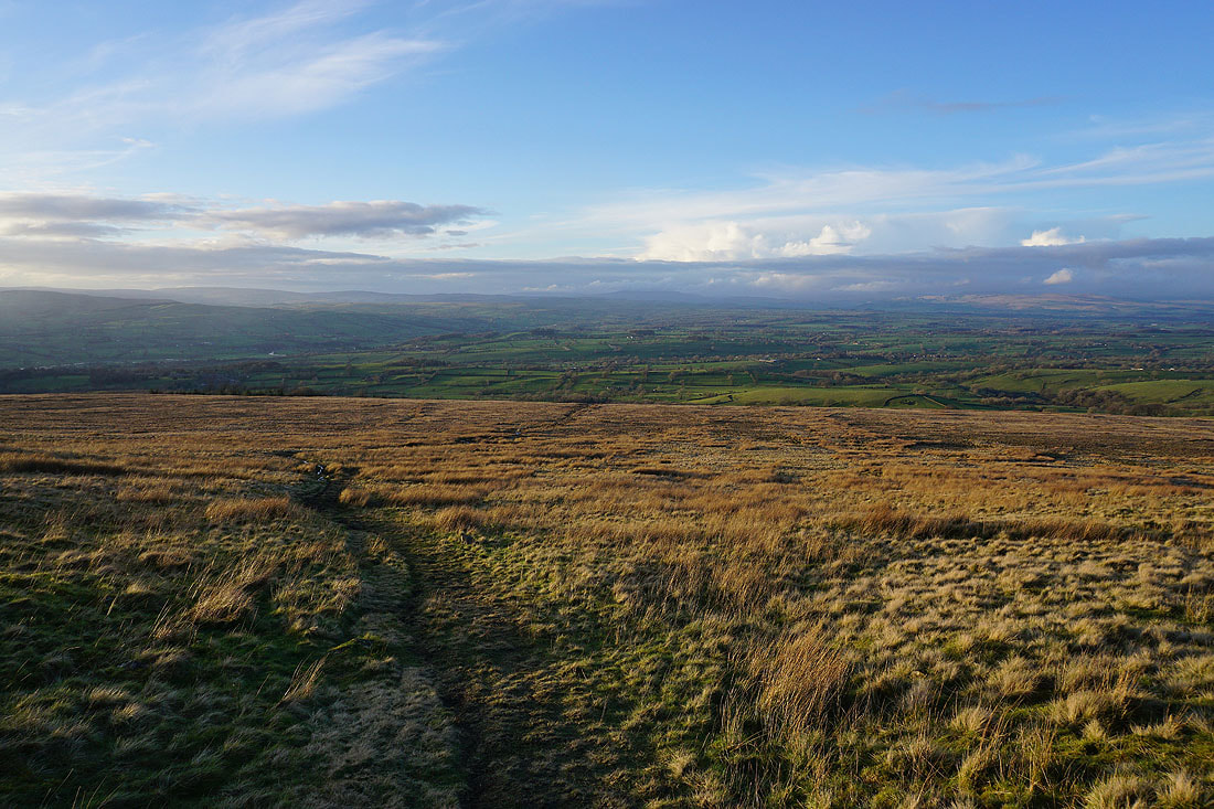
Looking back across Downham Moor
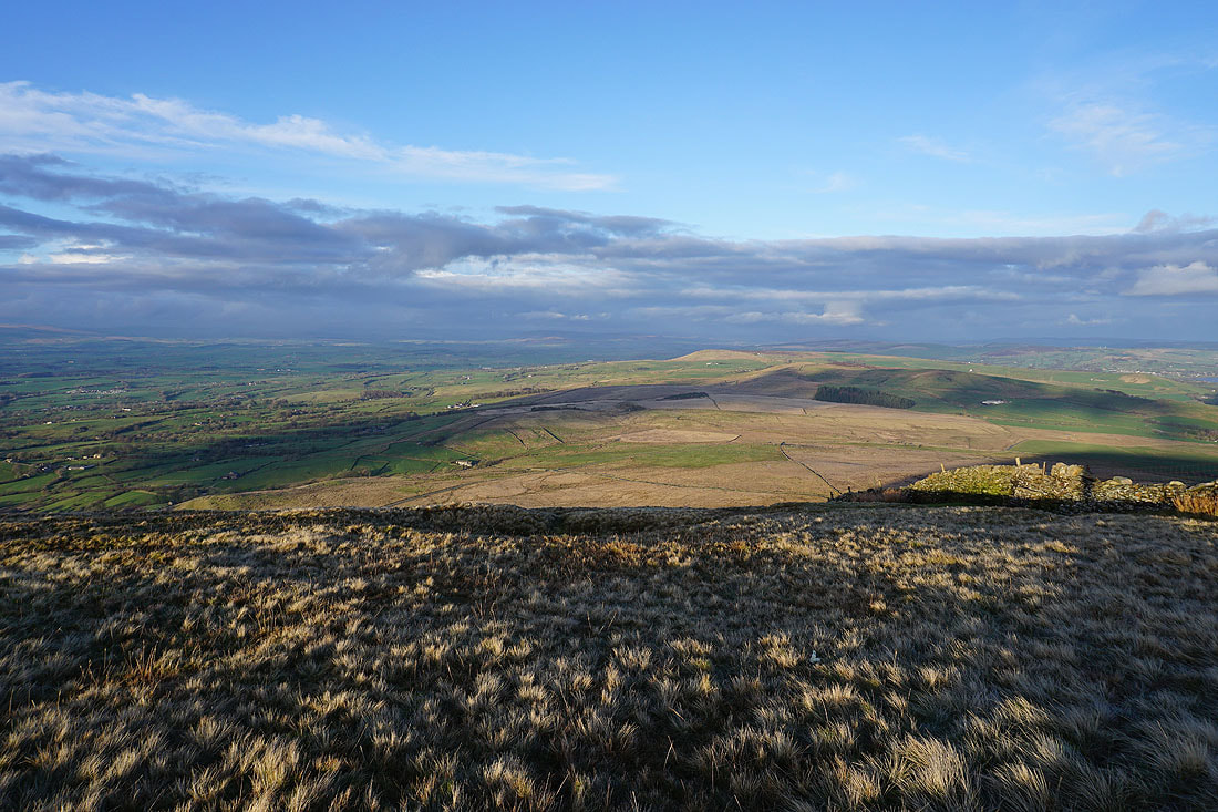
Sunshine on Annel Cross Moor and Twiston Moor below, from the eastern edge of Pendle Hill
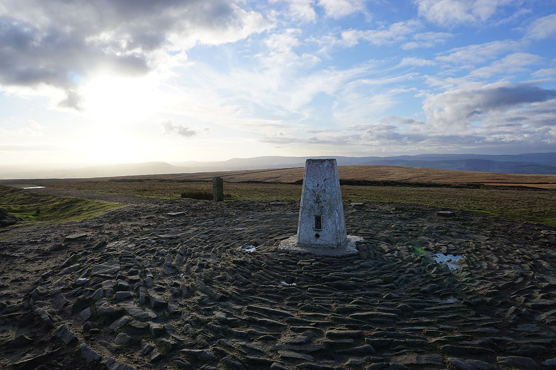
At the trig point on Pendle Hill. It's 1730, but worth the late arrival to be up here in the best weather of the day.
Looking northeast to Weets Hill and Kelbrook Moor
and north towards the fells of the Yorkshire Dales, which are shrouded in cloud
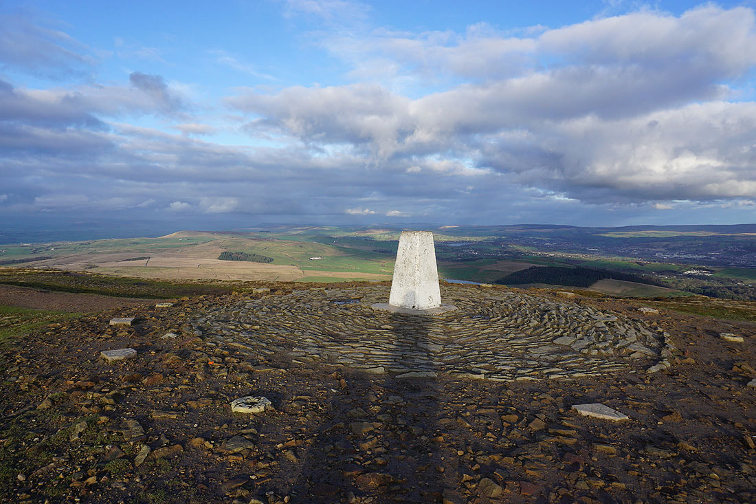
The view east from Pendle Hill with the Black Moss Reservoirs, Barley, and Lower Ogden Reservoir below, and Boulsworth Hill in the distance
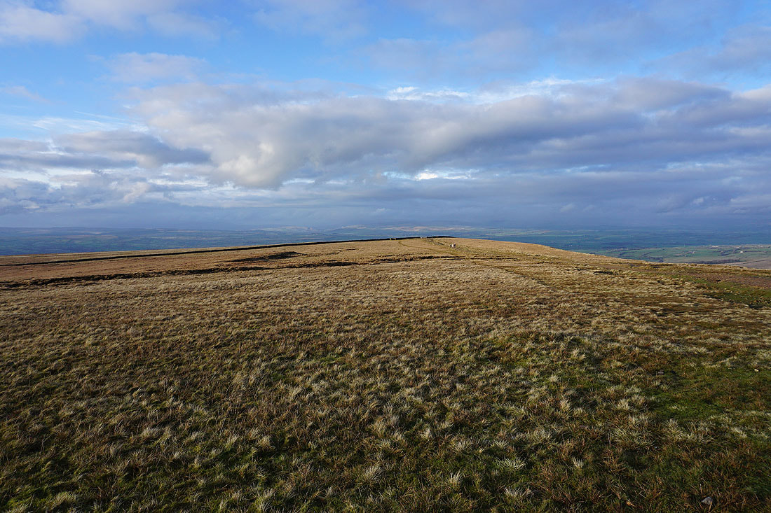
Looking across Downham Moor to the Forest of Bowland
Blue skies as I leave the trig point behind
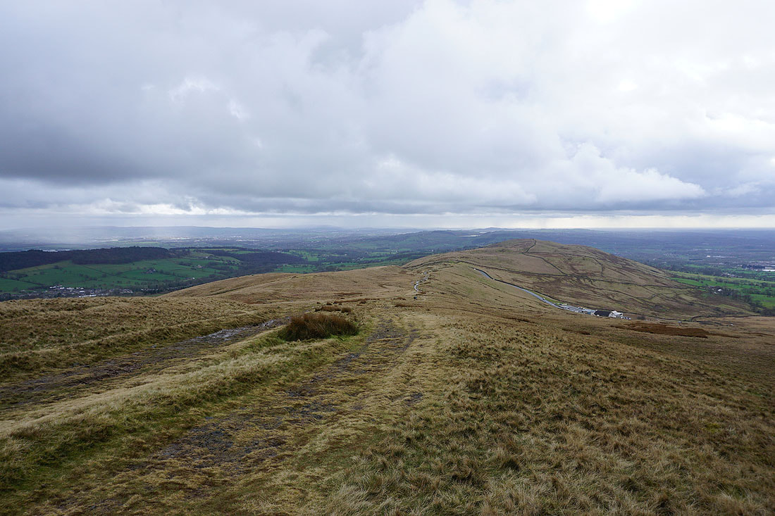
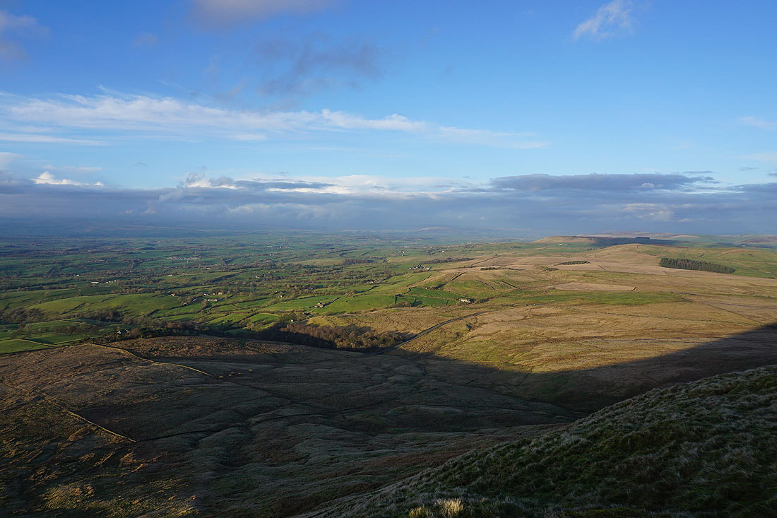
Looking northwest across Downham Moor to the Forest of Bowland
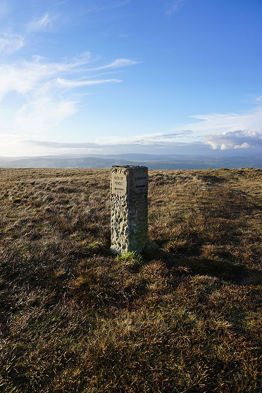
I'm going to take the path to Downham
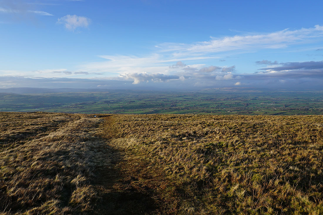
At the eastern edge of Downham Moor. Twiston Moor, Rimington Moor, Wheathead Height, and Weets Hill to the northeast.
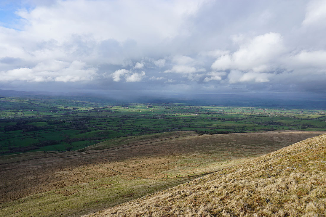
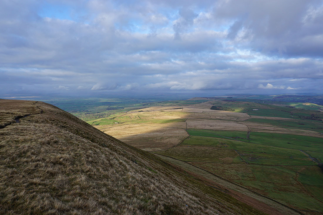
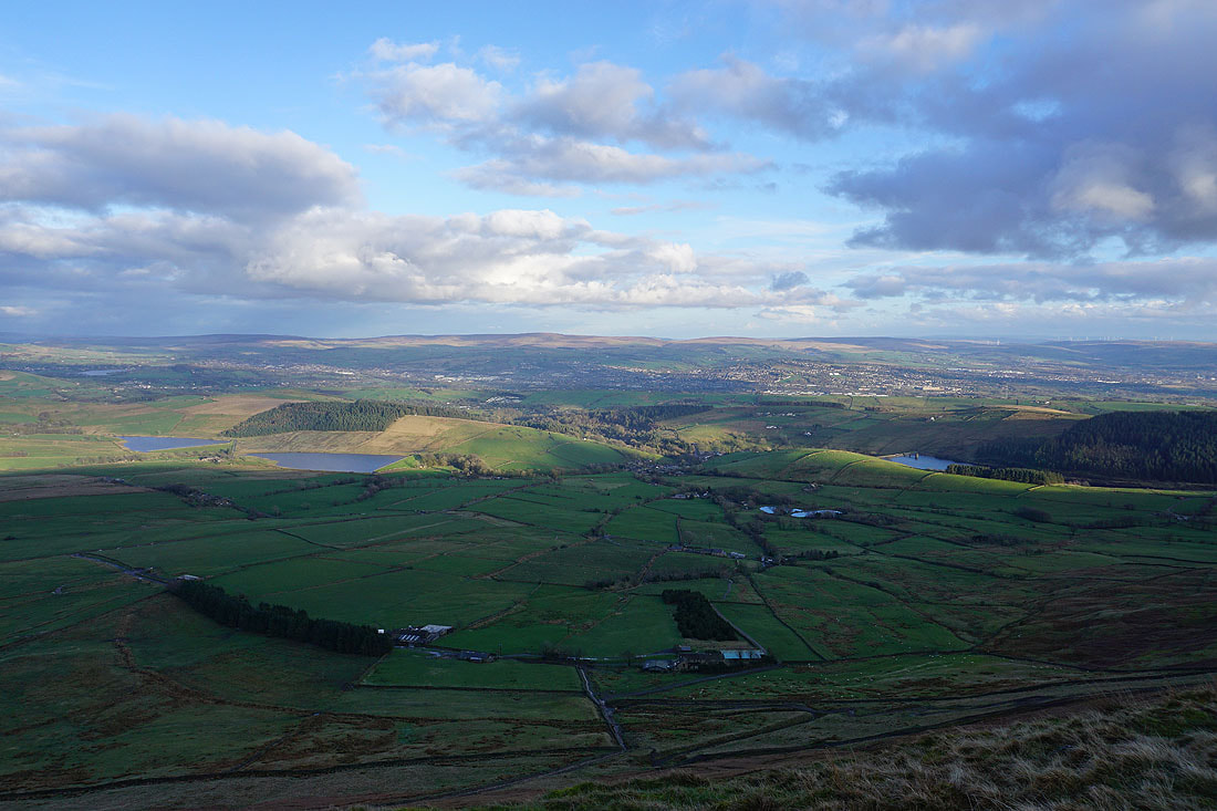
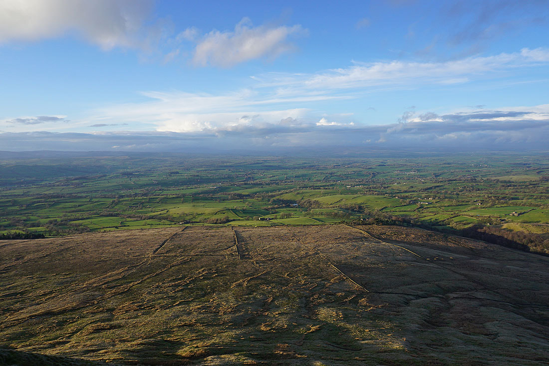
Great views to the north across the Ribble Valley of long shadows across sunlit fields as I follow the path down to Pendle Road......
A last look back up to Pendle Hill
Heading back to Downham..