25th May 2013 - A Fairmile Circuit
Walk Details
Distance walked: 9.6 miles
Total ascent: 2998 ft
OS map used: OL19 - Howgill Fells & Upper Eden Valley
Time taken: 7 hrs
Route description: Fairmile Gate-Linghaw-Fell Head-Bush Howe-The Calf-Calders-Arant Haw-Seat Knott-Bram Rigg-Castley-Four Lane Ends-Howgill Lane-Fairmile Gate
A perfect day for fellwalking. Blue skies, warm sunshine and gentle breezes for this tour of the tops of the Howgills.
From Fairmile Gate where there is parking on the verge it was uphill from the start to the top of Linghaw. There was then another climb to reach the summit of Fell Head. A walk across the tops of the Howgills brought me to the high point of the walk, The Calf. My route back took me across Calders and Arant Haw before descending the northwest ridge of Arant Haw to the little top of Seat Knott. A couple of becks were then forded to reach Castley and Howgill Lane, which I followed back to Fairmile Gate.
Route map
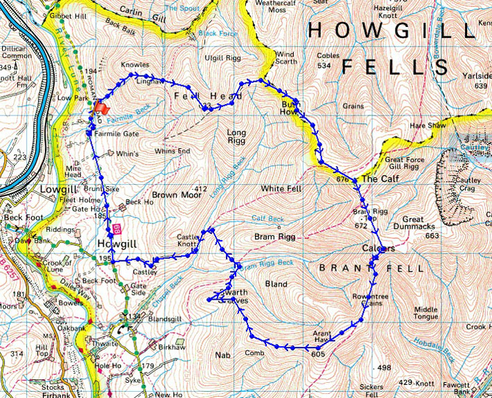
© Crown copyright. All rights reserved. License number PU 100034184.
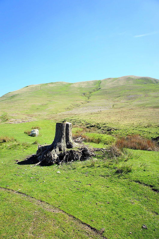
A random tree stump at the start of today's walk. It's uphill right from the off with the slopes of Linghaw in the background.
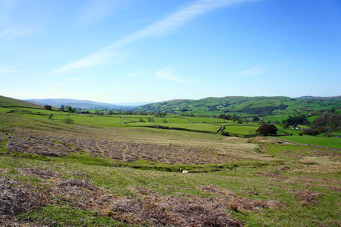
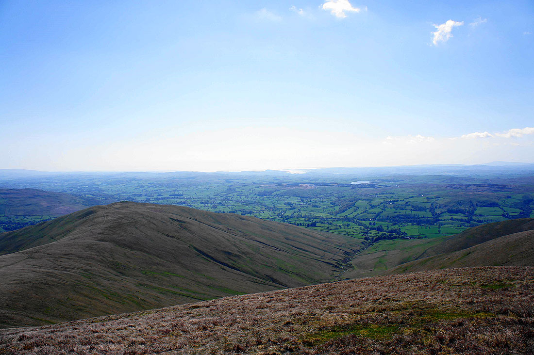
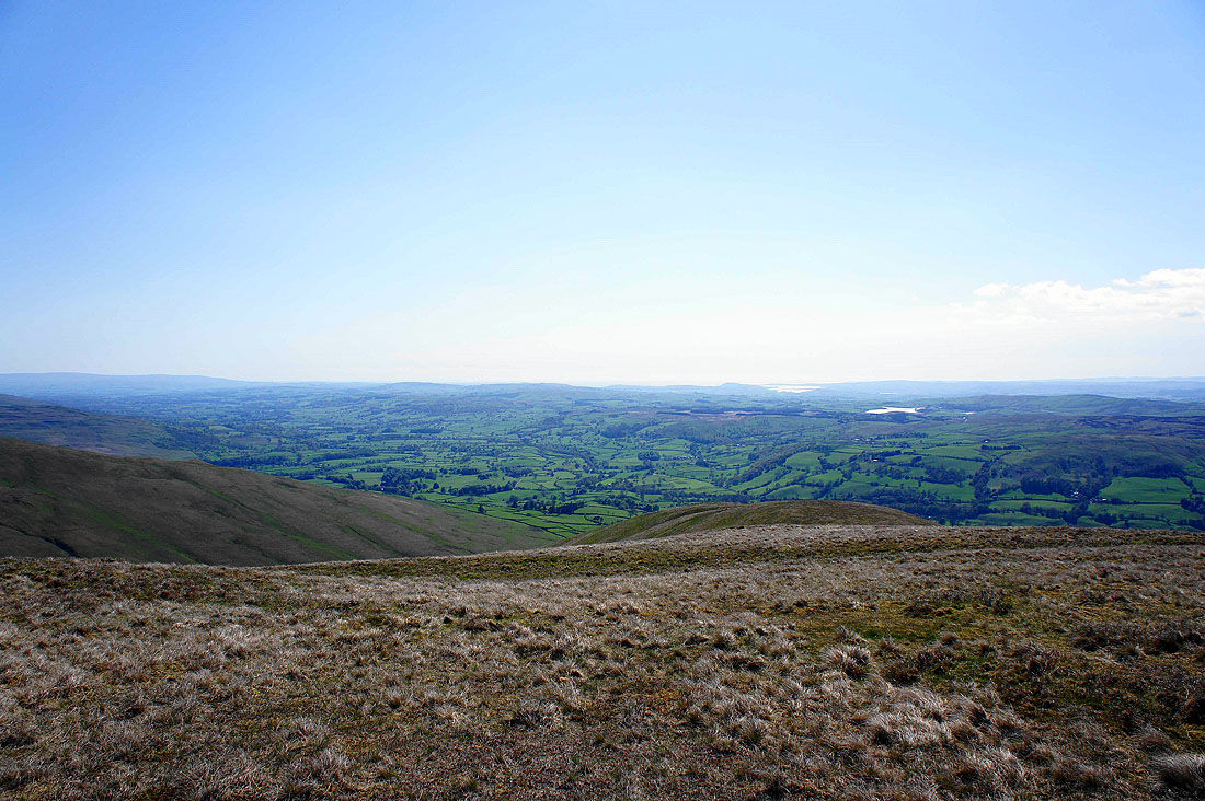
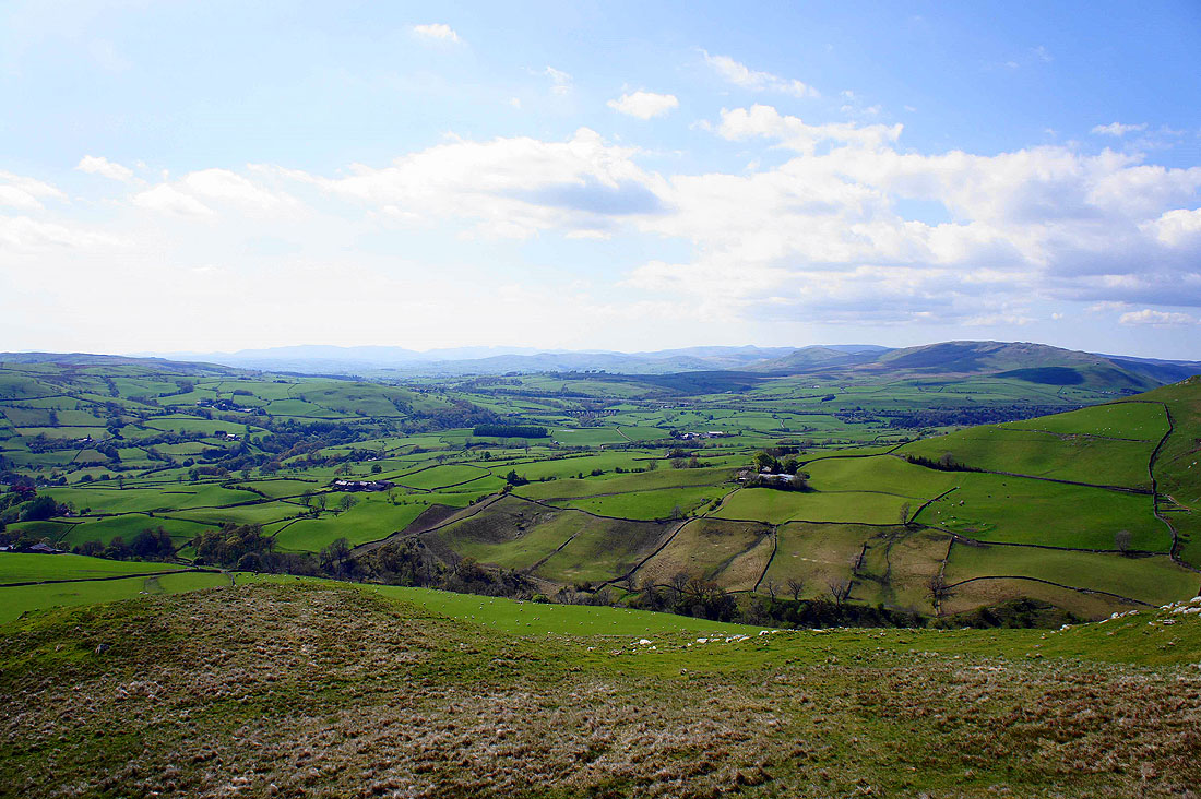
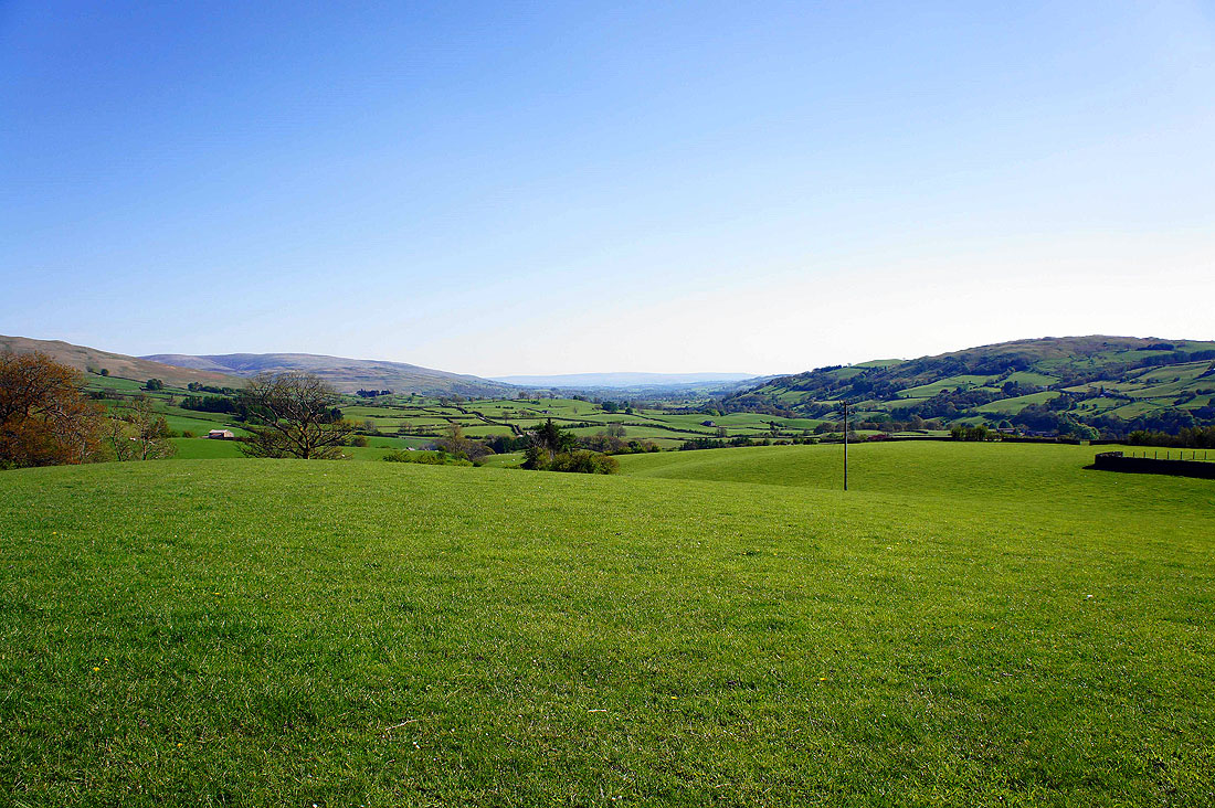
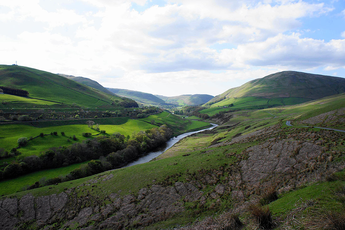
The views soon start to open up. Looking down the Lune valley and..
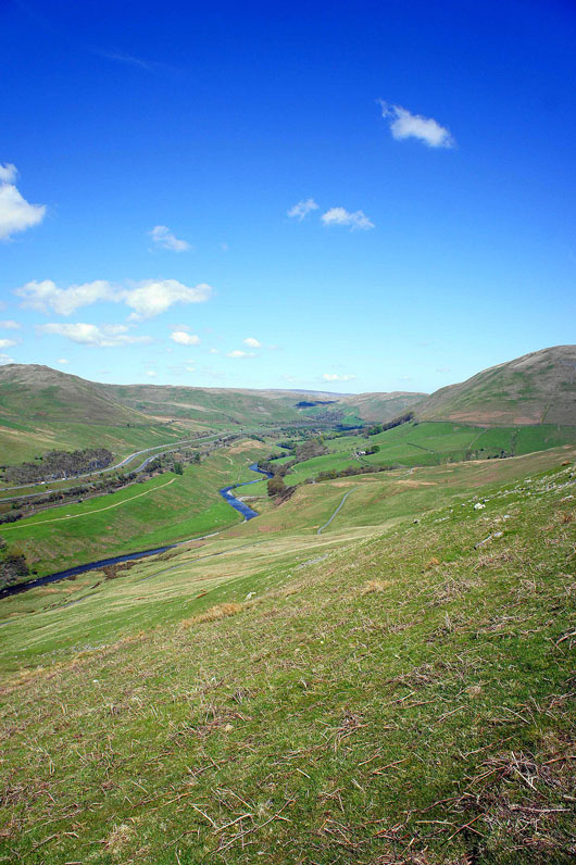
..up towards the Lune gorge
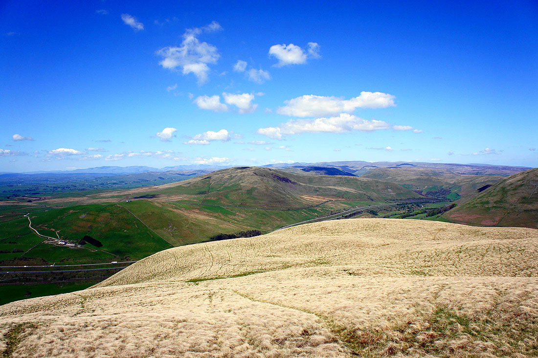
Nearing the top of Linghaw. Grayrigg Forest is on the other side of the Lune gorge but it's the appearance of the Lakeland fells on the skyline that captures my attention.
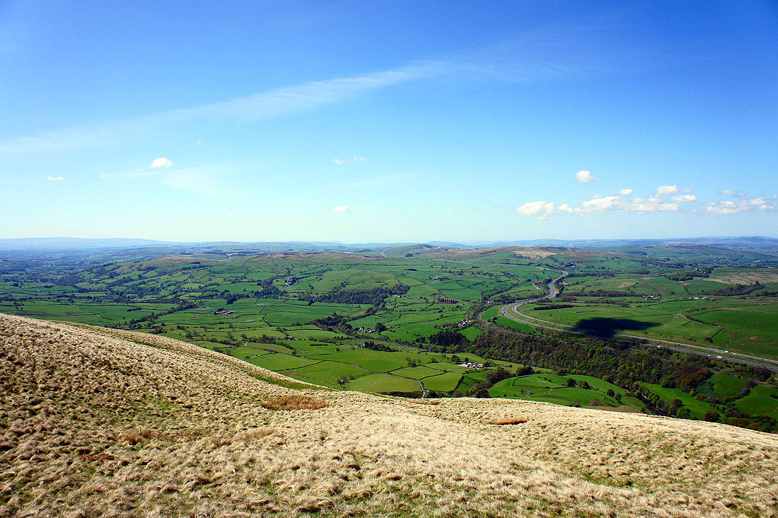
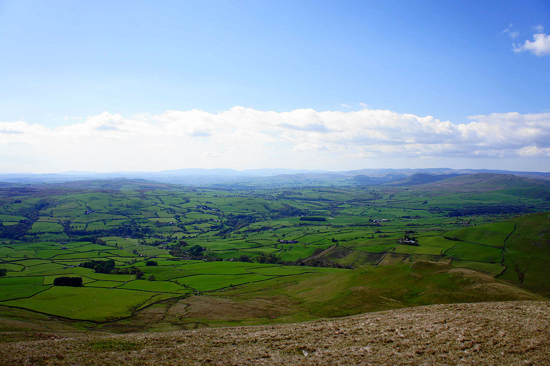
The Lune valley below and the M6 winding its way into the distance
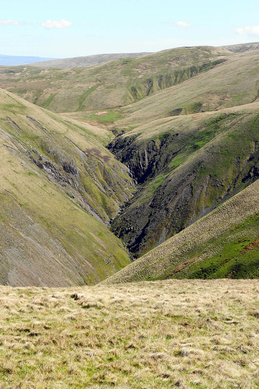
A close-up of the upper sections of the ravine of Carlin Gill. I've done the walk up the ravine a couple of times and it's certainly one of the most interesting and roughest walks in the Howgills.
The Lake District fells from the lower top of Fell Head
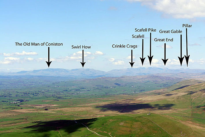
A close-up of the Coniston Fells on the left with the Scafells, Great Gable and Pillar on the right
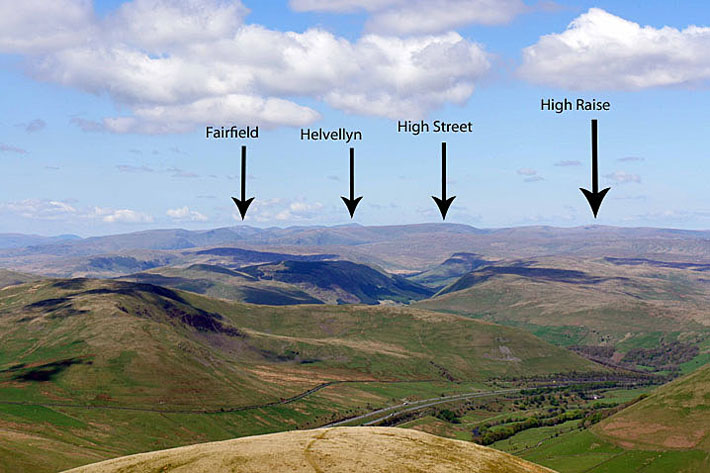
Fairfield, Helvellyn and the High Street range
On the main top of Fell Head. The grassy ridge that was route of ascent can be seen below.
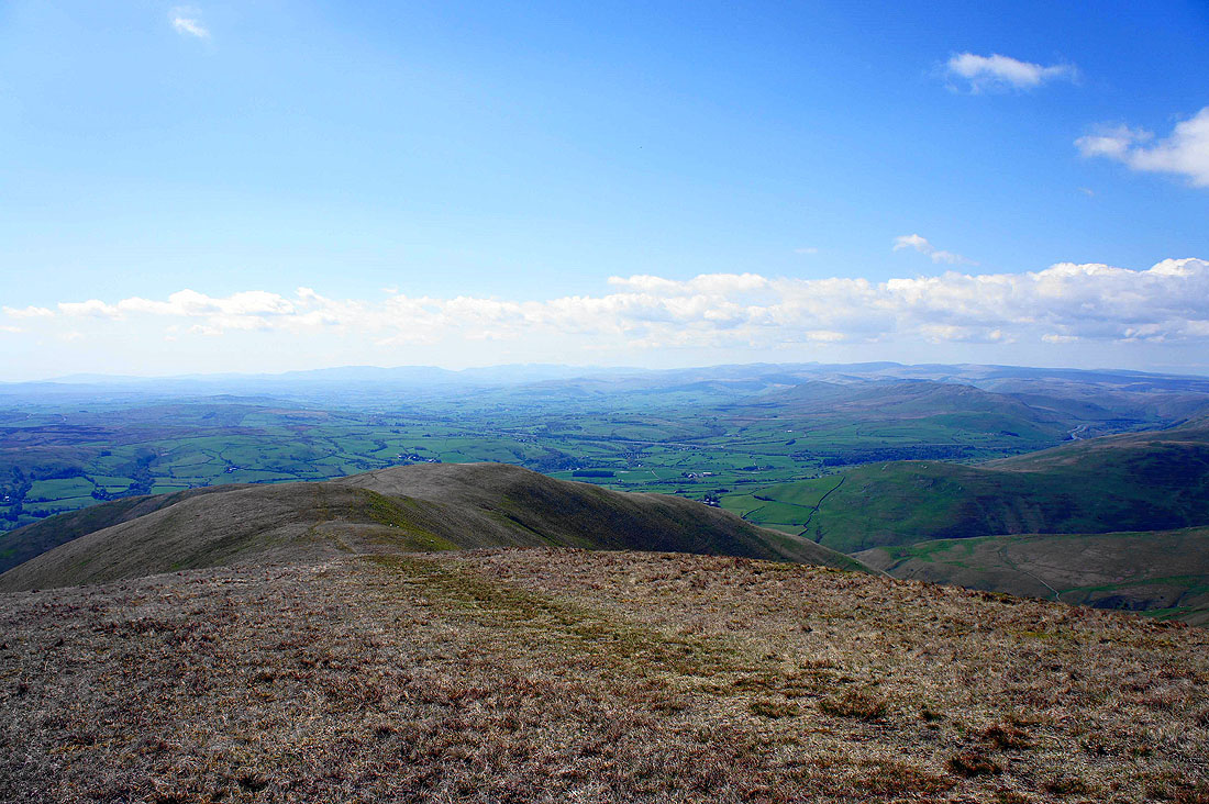
The Lune valley and Morecambe Bay
The North Pennines in the far distance
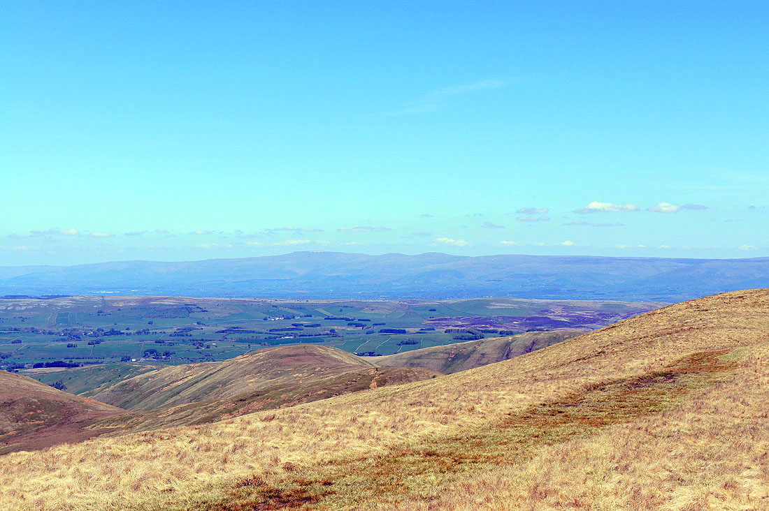
Zooming in on Cross Fell, Little and Great Dun Fells
Panorama of the view to the west
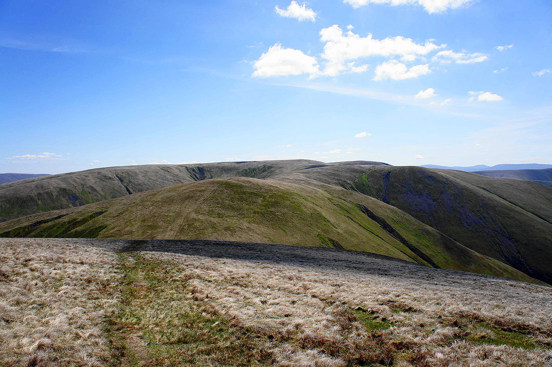
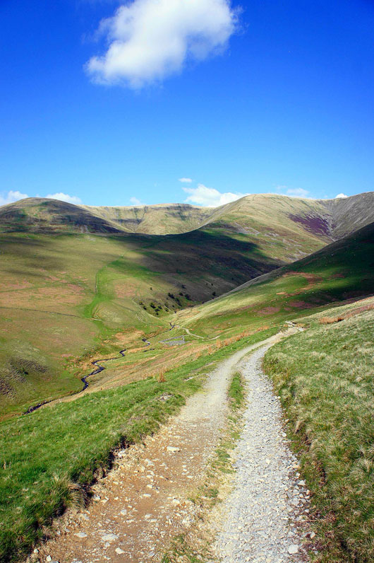
Heading for The Calf
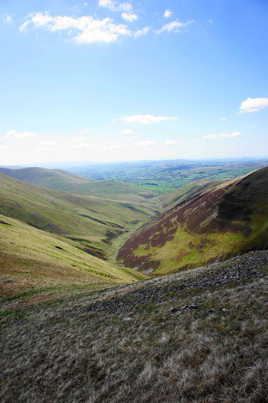
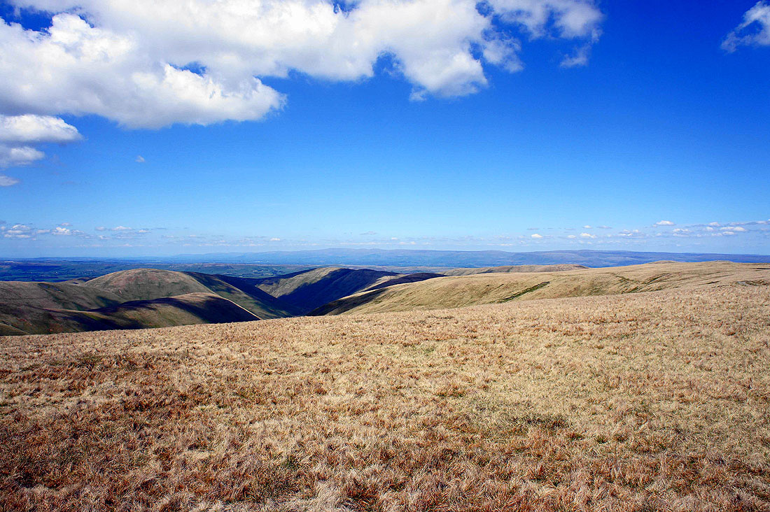
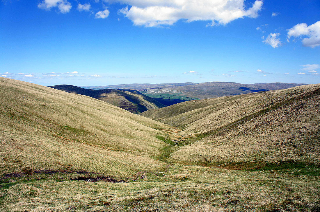
The valley of Long Rigg Beck which becomes Chapel Beck before entering the Lune
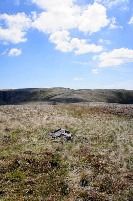
The Calf from Bush Howe
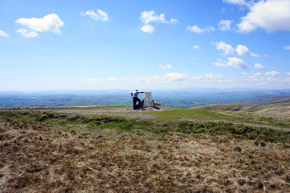
The trig point that marks the high point of the Howgills, The Calf
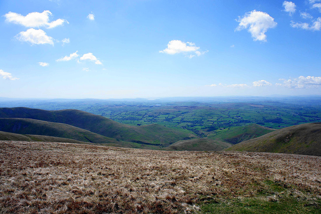
The Lune valley and Morecambe Bay to the southwest
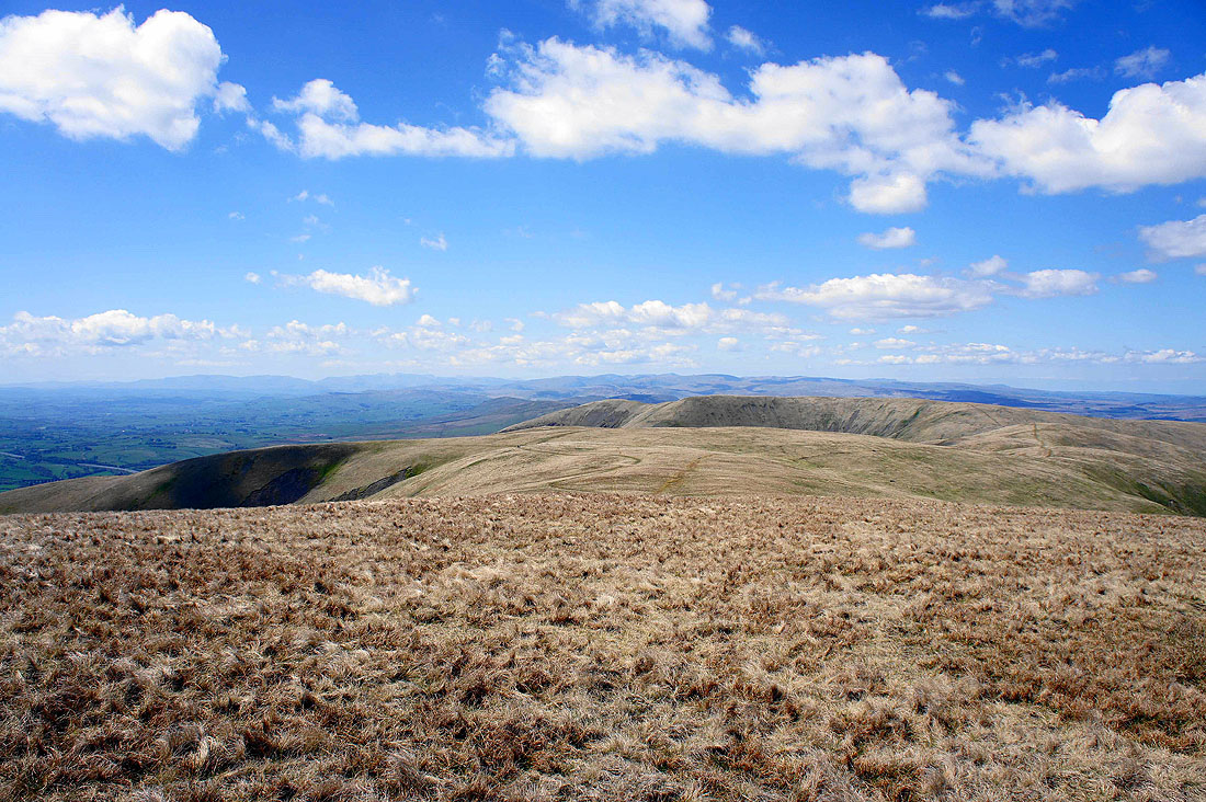
The Lake District fells on the skyline beyond White Fell Head and Fell Head
Cross Fell and the North Pennines in the distance
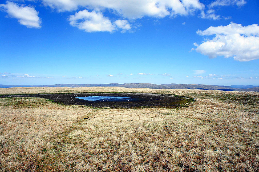
Behind the almost dried up summit tarn are the fells of High Seat and Wild Boar Fell above the valley of Mallerstang
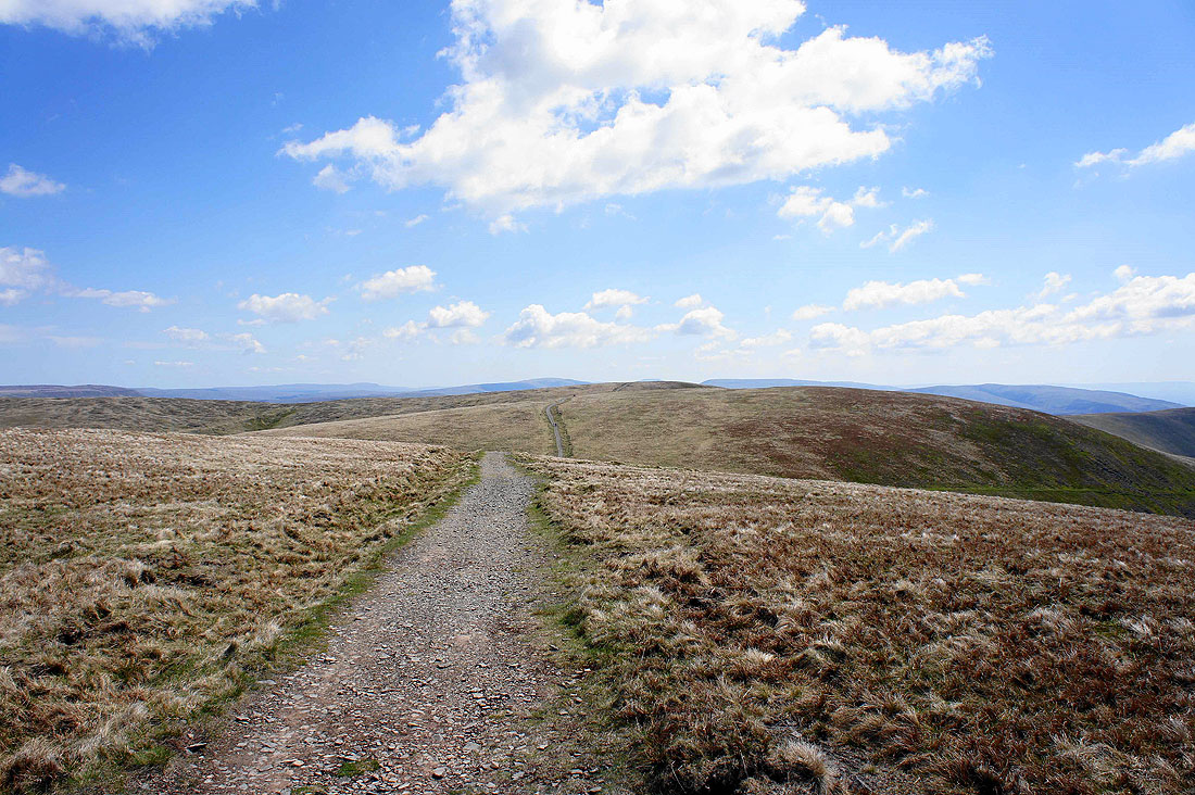
On the bridleway to Calders
Force Gill Beck that leads down to the top of Cautley Spout. If you follow its line into the distance you can see the patch of white that is the limestone of Fell End Clouds on the side of Wild Boar Fell.
On Calders looking back to The Calf
Wild Boar Fell beyond neighbouring Great Dummacks
Whernside, Ingleborough, Great Coum and Middleton Fell on the other side of the Rawthey valley
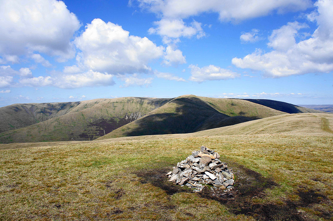
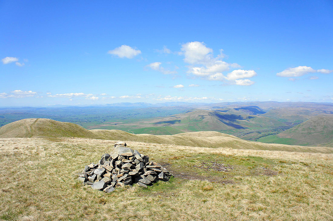
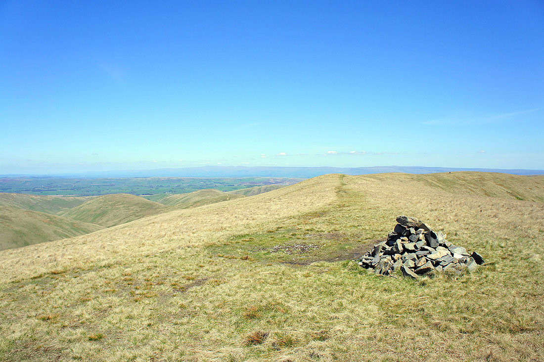
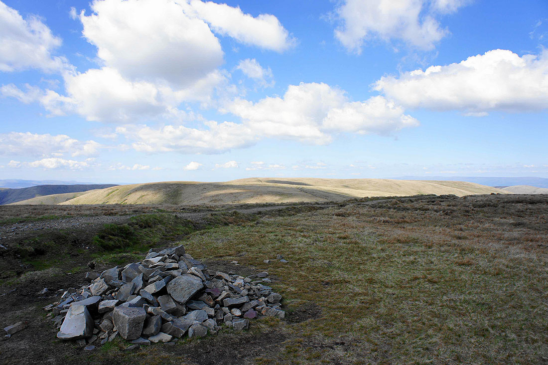
The Calf, Bram Rigg Top and Calders from the last top of the day, Arant Haw. Someone has put some effort into building this cairn. It wasn't this big when I was last here in February and there is a distinct lack of building material around.
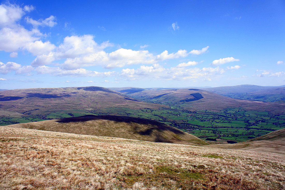
The view from Arant Haw from east all the way round to west in the following few pictures. Looking east, Baugh Fell, Garsdale, Rise Hill, Dentdale and Whernside.
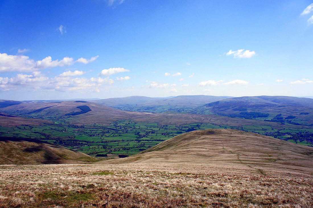
Rise Hill, Whernside, Great Coum and Middleton Fell
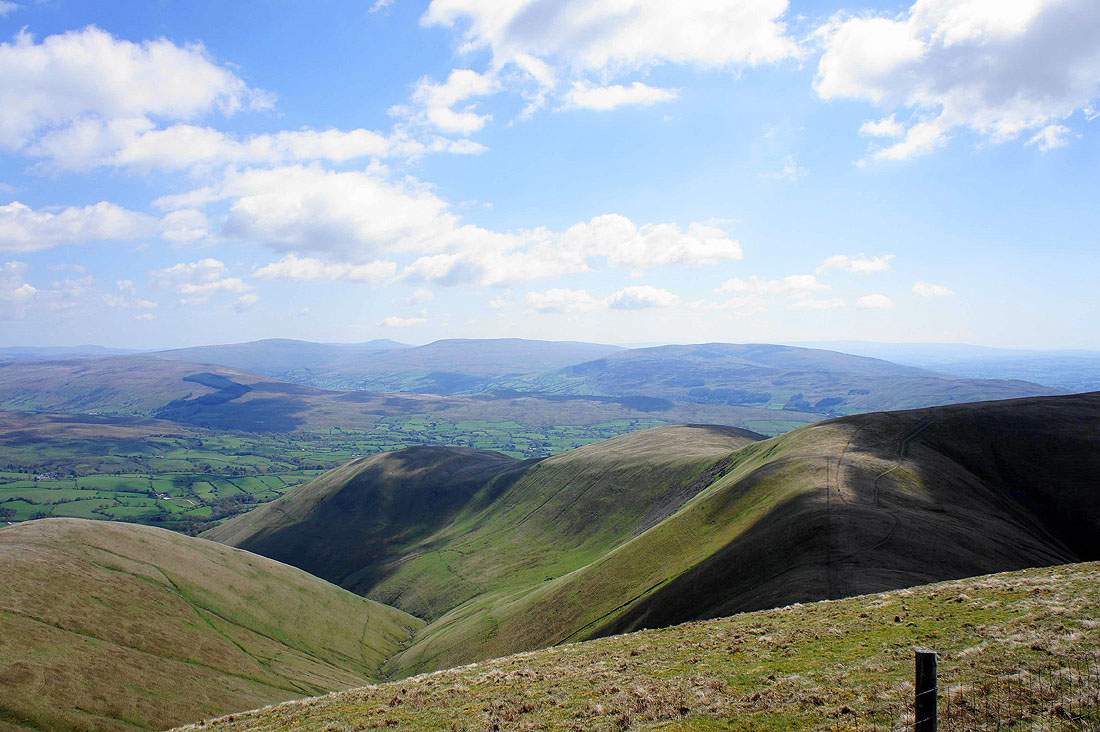
Crook and Winder just below with Middleton Fell on the other side of the Rawthey valley
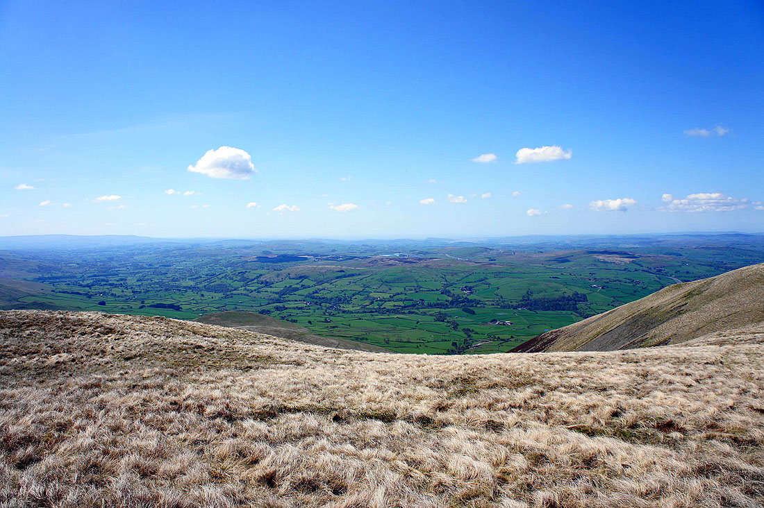
Winder, the Lune valley and Morecambe Bay
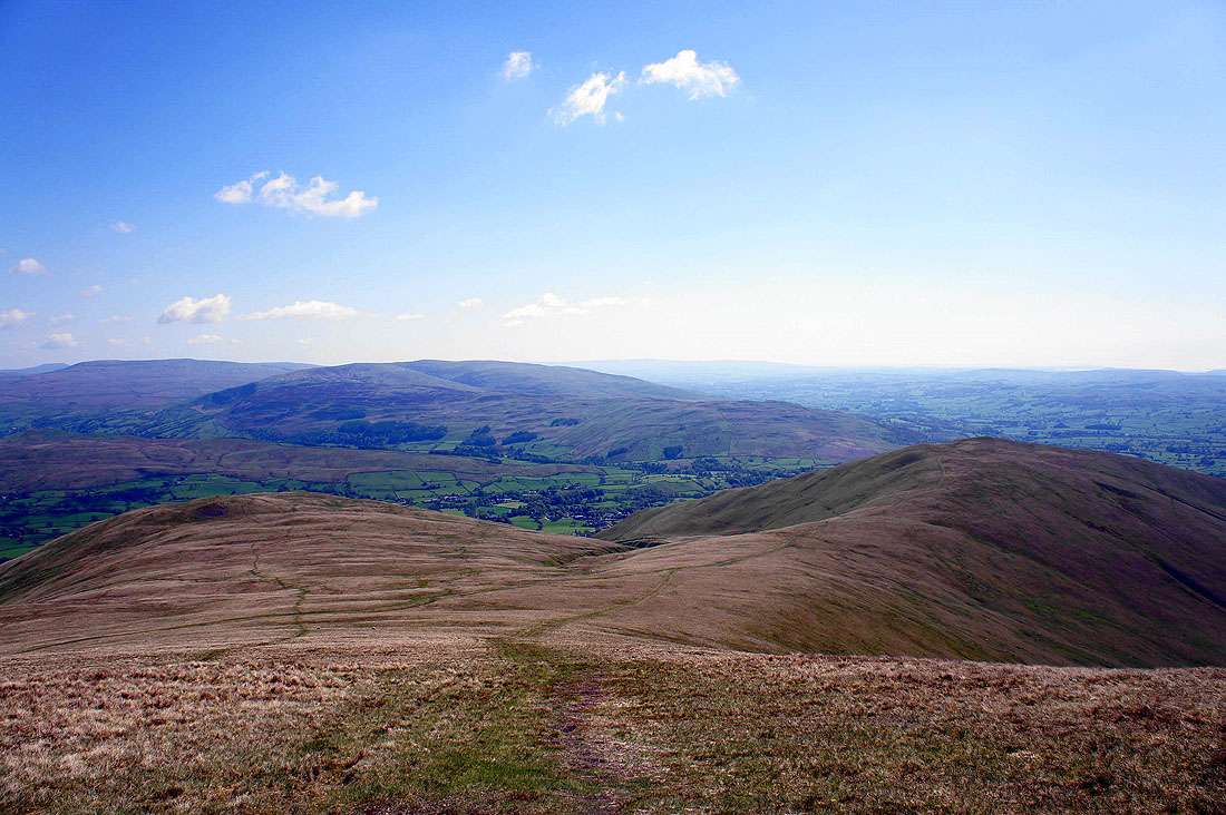
And finally, the ridge that is my route of descent with the Lake District fells in the distance
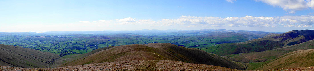
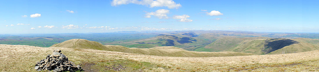
Panorama of the view to the west
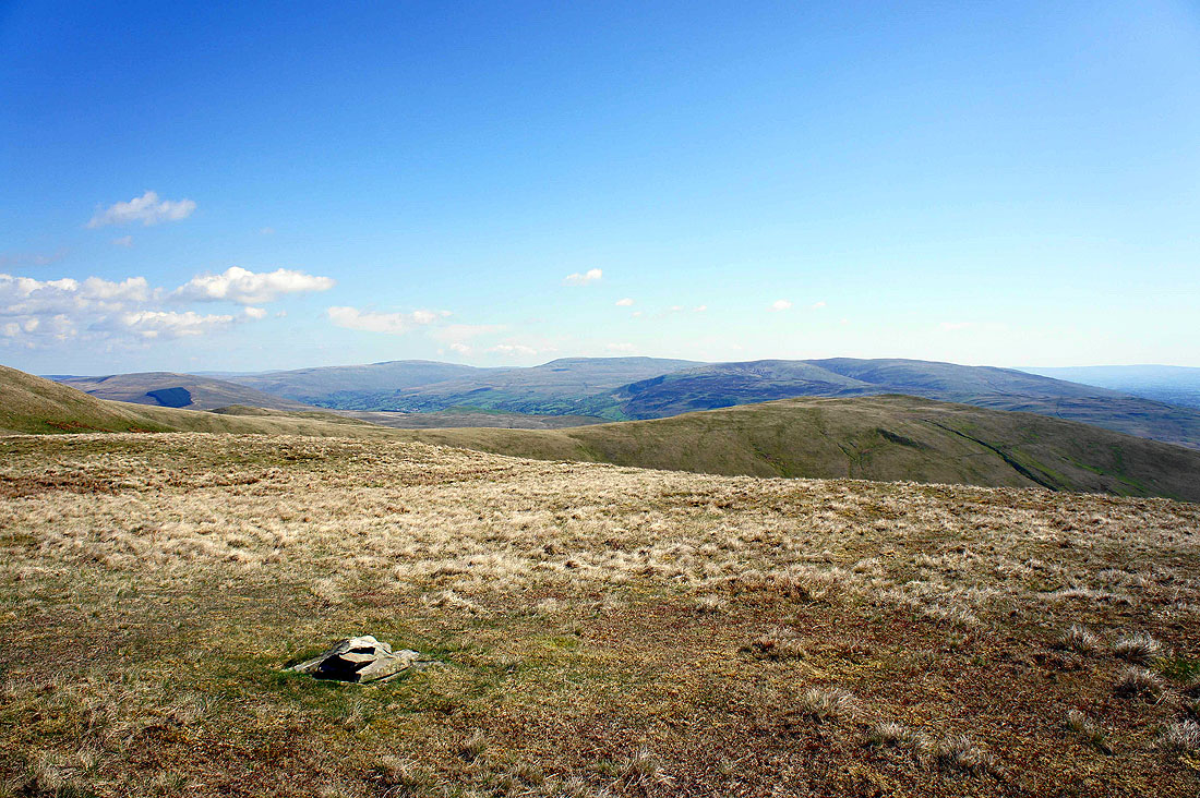
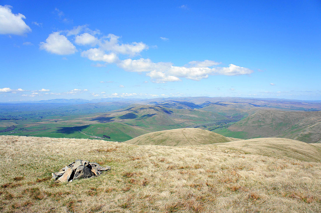
A tiny cairn marks the high point at the end of the ridge. Whernside, Great Coum, Middleton Fell and the neighbouring Howgill fell of Winder.
The Lune valley and Morecambe Bay
The Lune valley
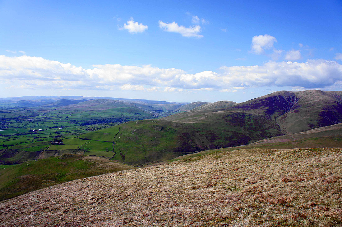
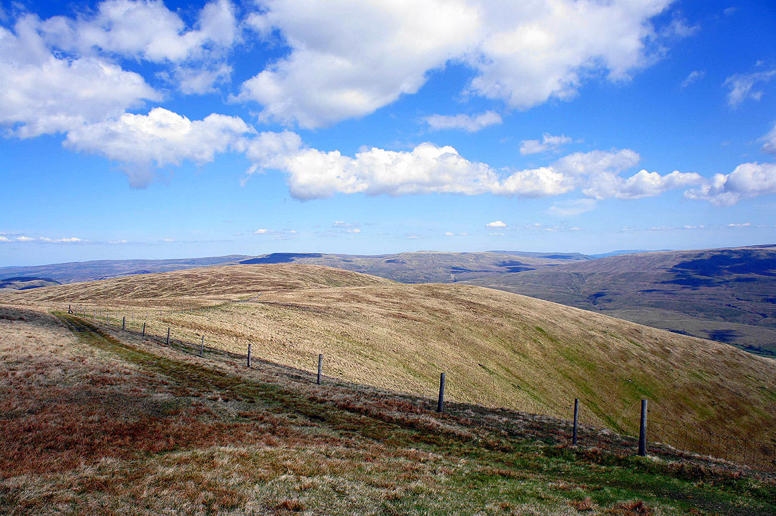
Howgill ridges on the right and the little summit below on the left is Seat Knott, where I'm heading next
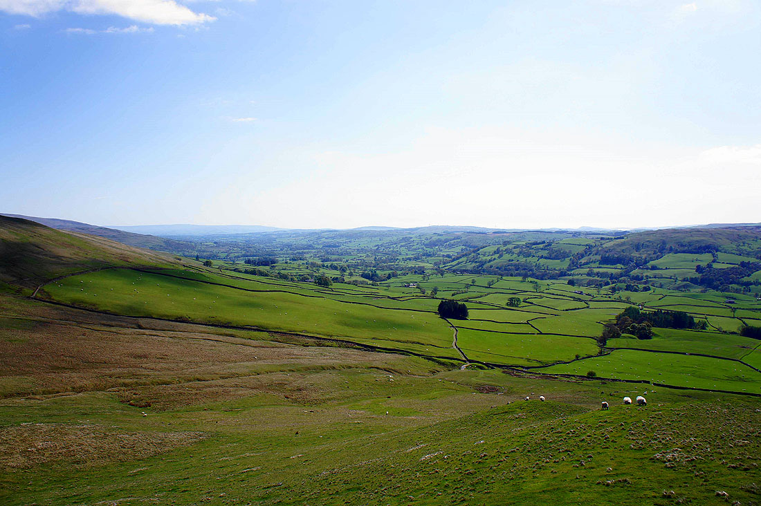
The Lune valley from Seat Knott..
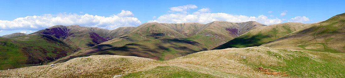
and a panorama of Howgill ridges from Seat Knott
On the bridleway to cross the ford over Bram Rigg Beck
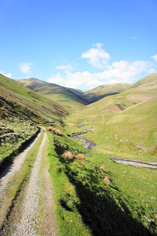
and looking back after crossing the ford over Chapel Beck
Lune valley views from Castley..
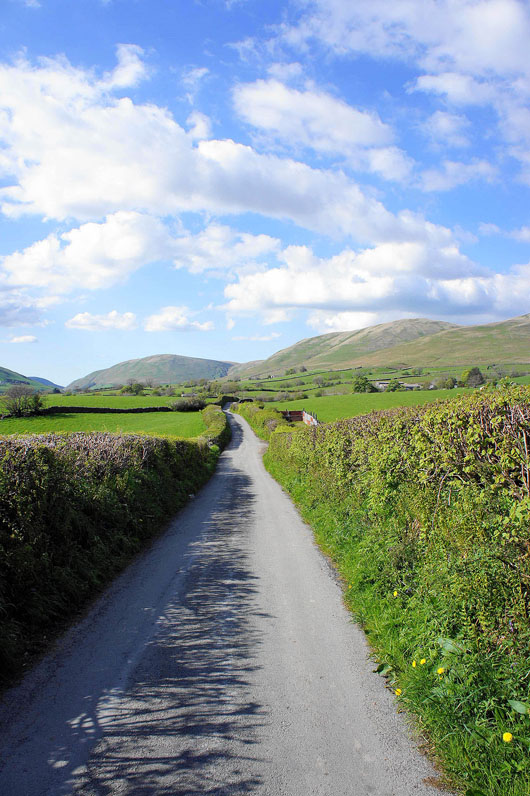
Heading back by Howgill Lane..
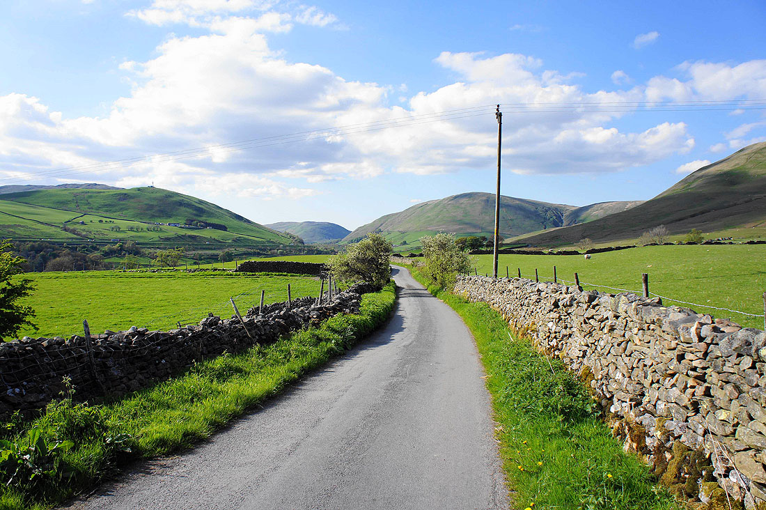
A final shot of the Lune gorge from Fairmile Gate