25th May 2014 - Hodder Bank Fell
Walk Details
Distance walked: 6.9 miles
Total ascent: 743 ft
OS map used: OL41 - Forest of Bowland & Ribblesdale
Time taken: 4 hrs
Route description: Newton in Bowland-Newton Bridge-Foulscales-Giddy Bridge-Hodder Bank Fell-Burholme Farm-Thorneyholme Hall-Boarsden-Newton in Bowland
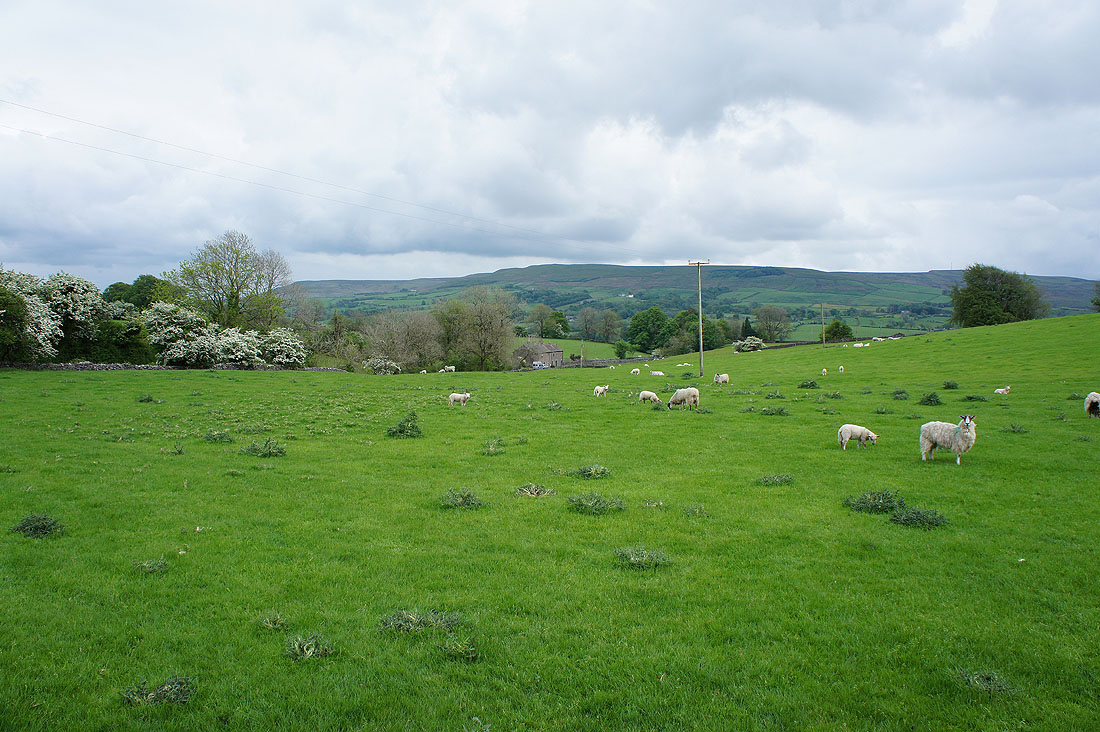
When I did a walk by the Hodder a few weeks ago I didn't think I'd end up doing three walks in the Hodder valley in as many weeks. But why not? It's a beautiful bit of countryside. My walk today was in the bit of the valley that the other two walks missed out. The forecast was for showers but apart from a light one on the way down off Hodder Bank Fell it stayed dry.
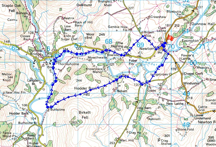
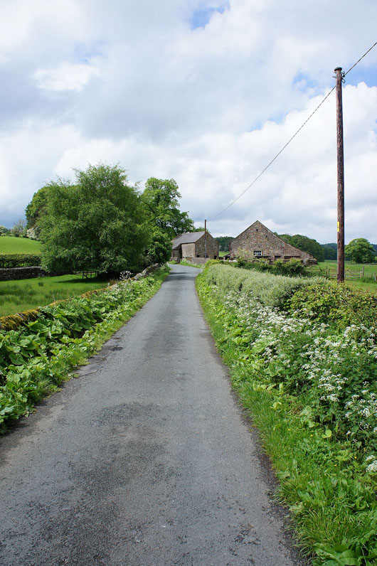
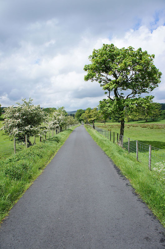
From the car park in Newton in Bowland I made my way down to Newton Bridge and onto the path by the Hodder that heads downstream. At a pronounced right bend in the river the path then heads uphill to a lane. After a brief road walk I took the footpath that follows the private drive to Knowlmere Manor. When the drive crosses Giddy Bridge I left it for the path across Hodder Bank Fell to Burholme Farm. I then followed the path up the Hodder valley to Thorneyholme Hall. I crossed the footbridge there and then followed the riverside path to Boarsden. I then had a short road walk until I reached a path across fields to reach a lane downhill into Newton.
Route map
Back in Newton after just a week away. I didn't expect it to be so soon but I thought I'd walk the section of the Hodder valley that my two recent visits missed out.
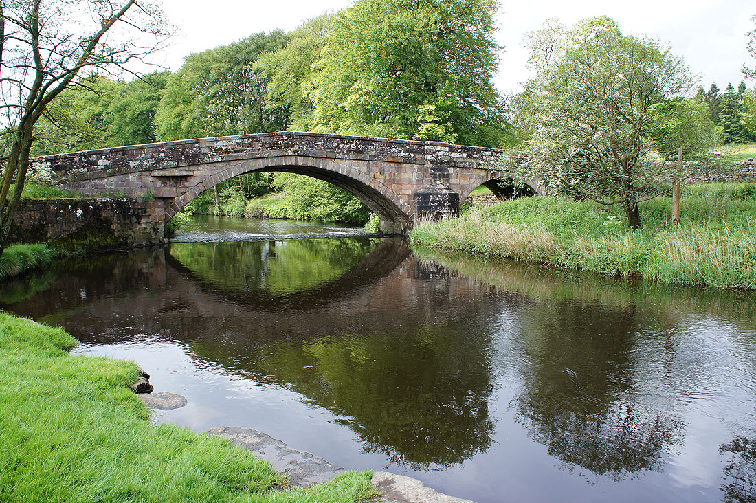
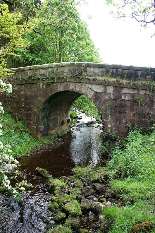
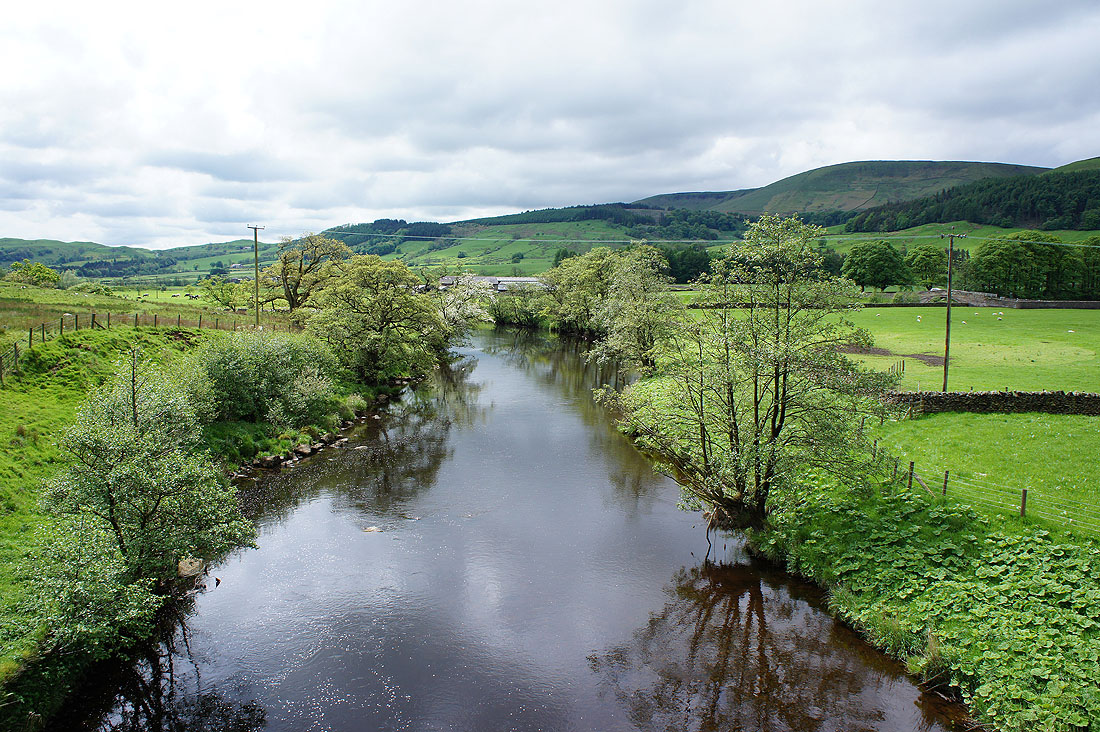
Newton Bridge over the Hodder
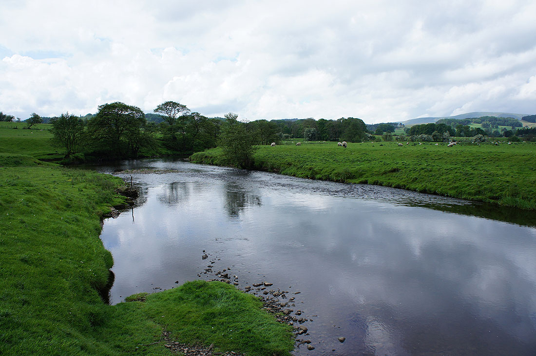
Looking upstream..
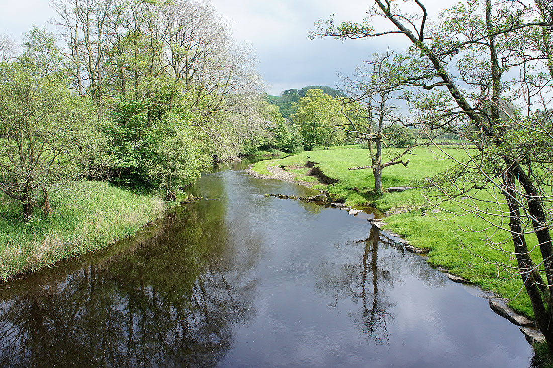
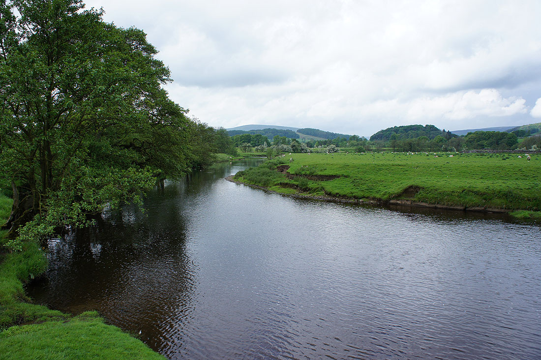
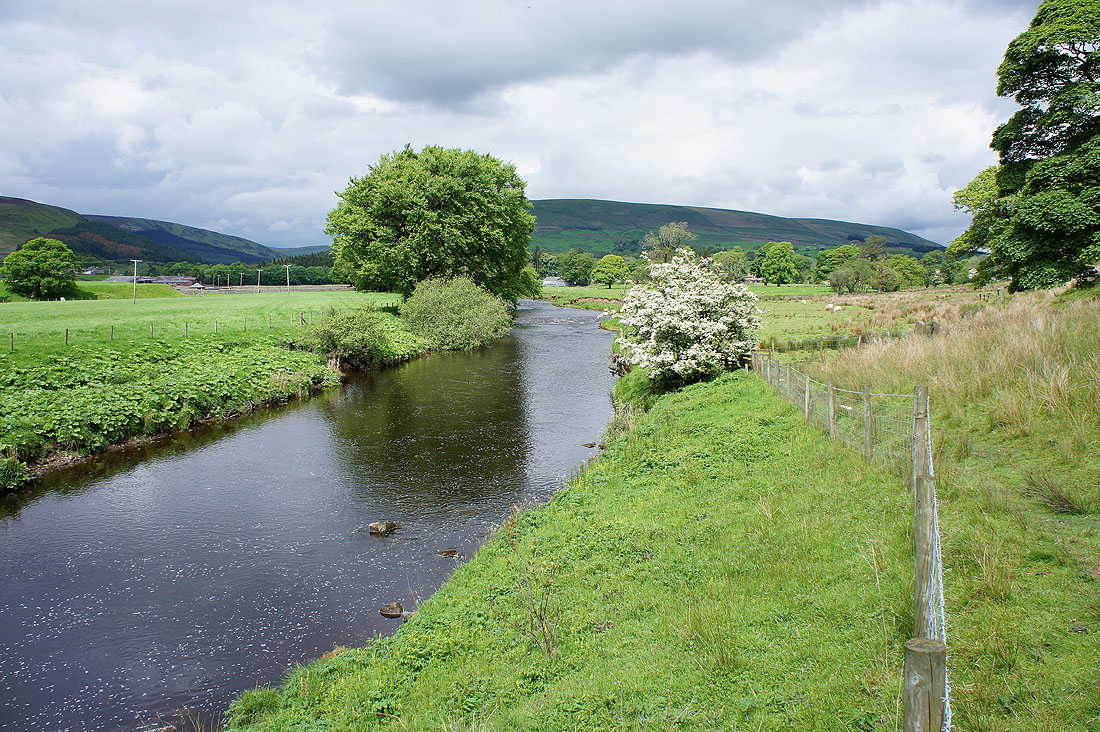
..and downstream, which will be my direction today
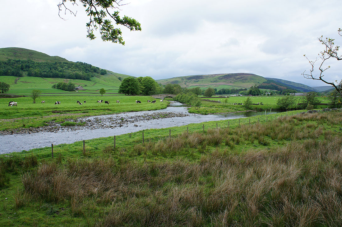
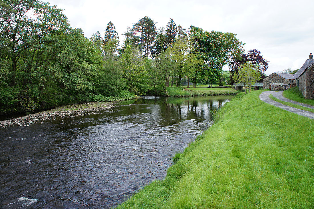
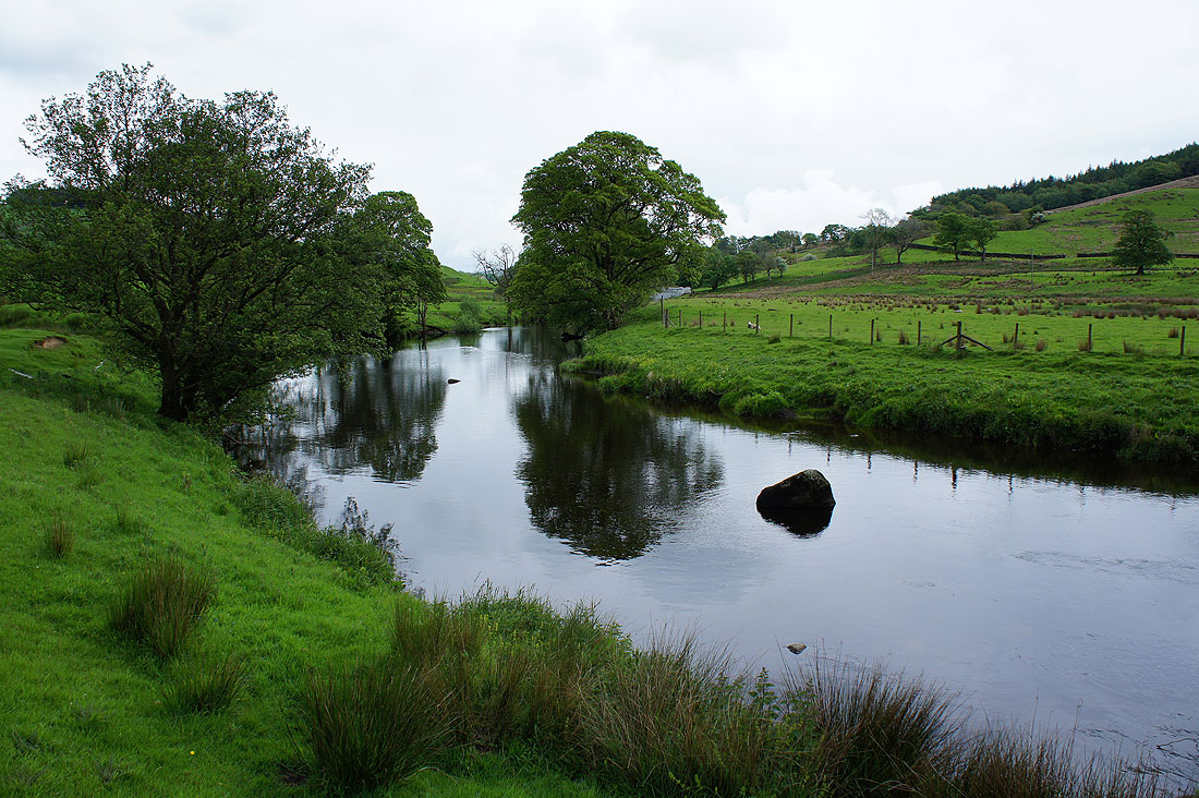
Following the Hodder..
..and looking back as I leave the river behind
The path reached a lane then I soon left this for the private drive to Knowlmere Manor which is signposted as a public footpath
Across Giddy Bridge and then the path heads up Hodder Bank Fell
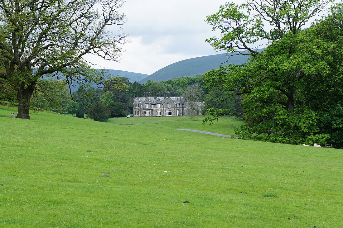
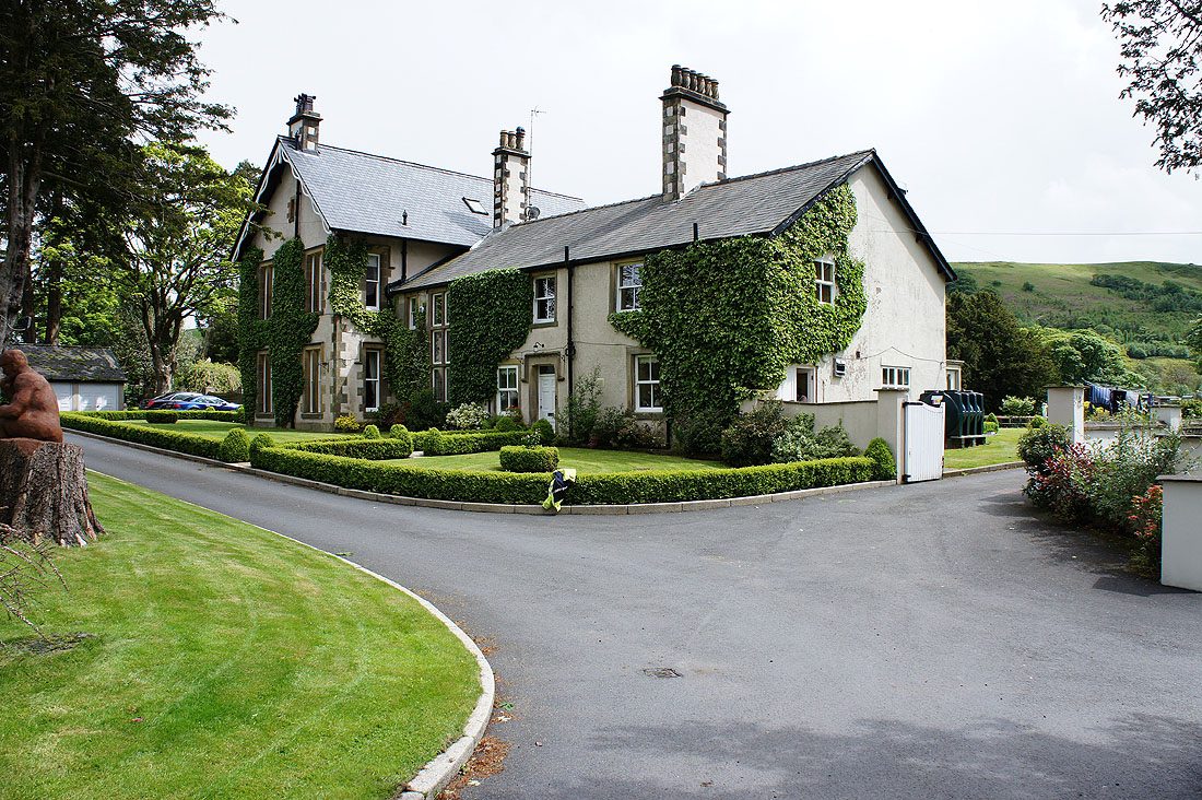
Knowlmere Manor with its forest of chimneys
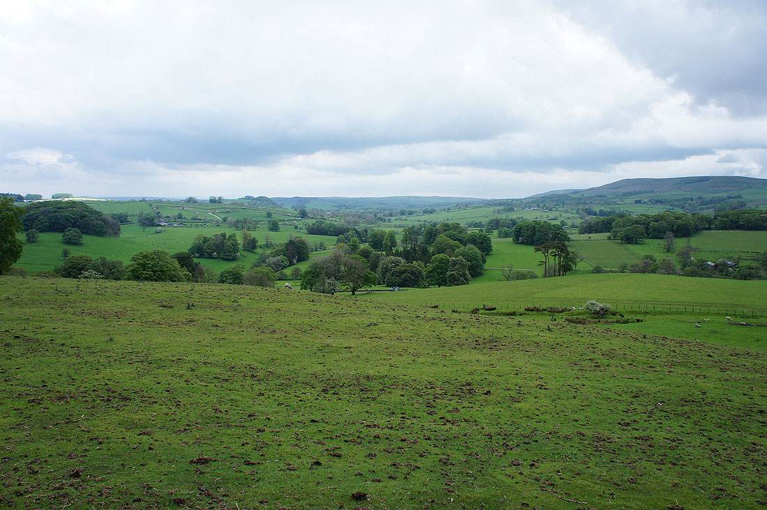
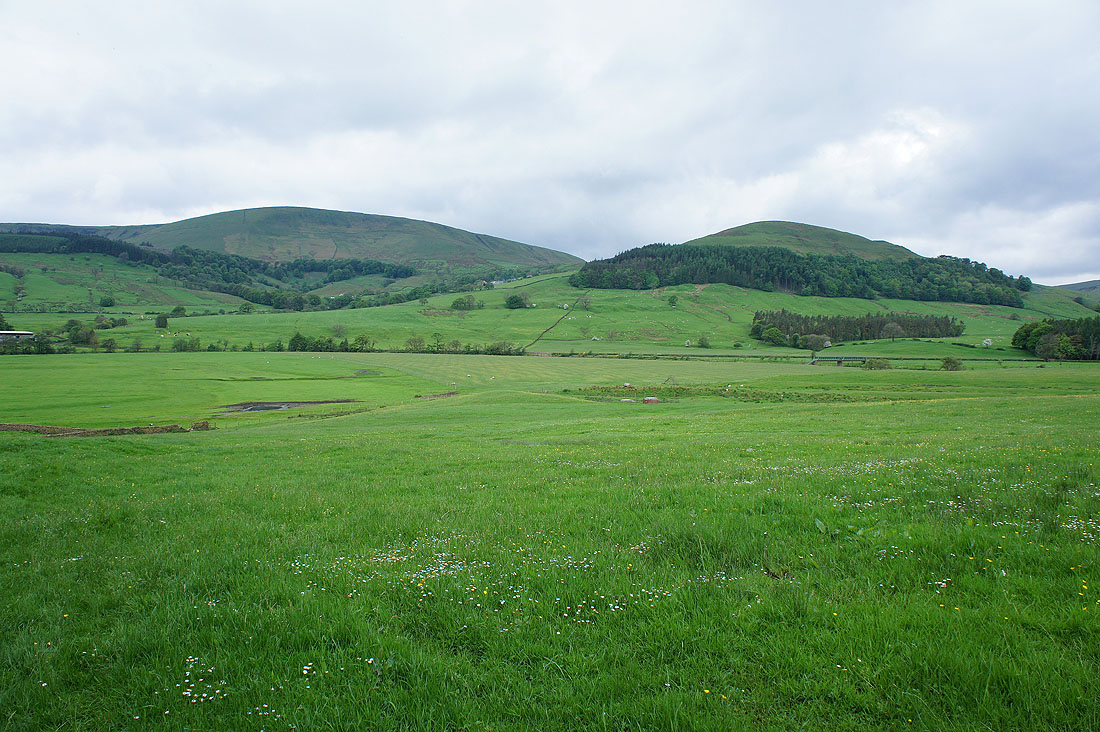
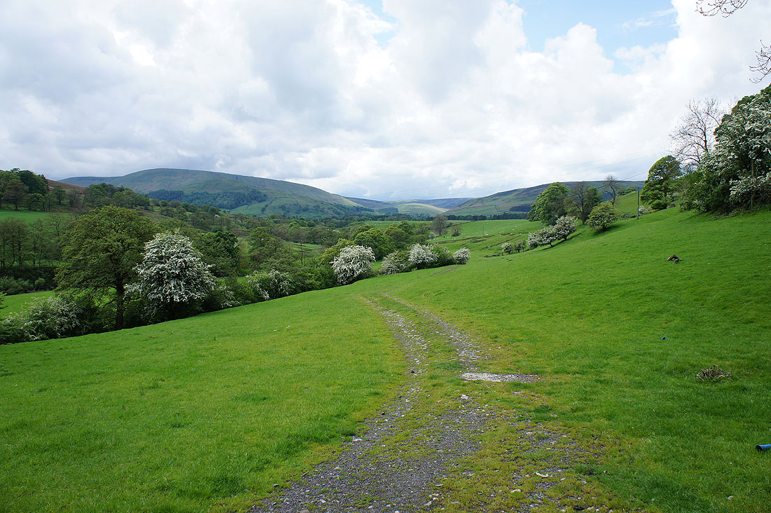
Looking back as I head up Hodder Bank Fell. The Hodder valley below.
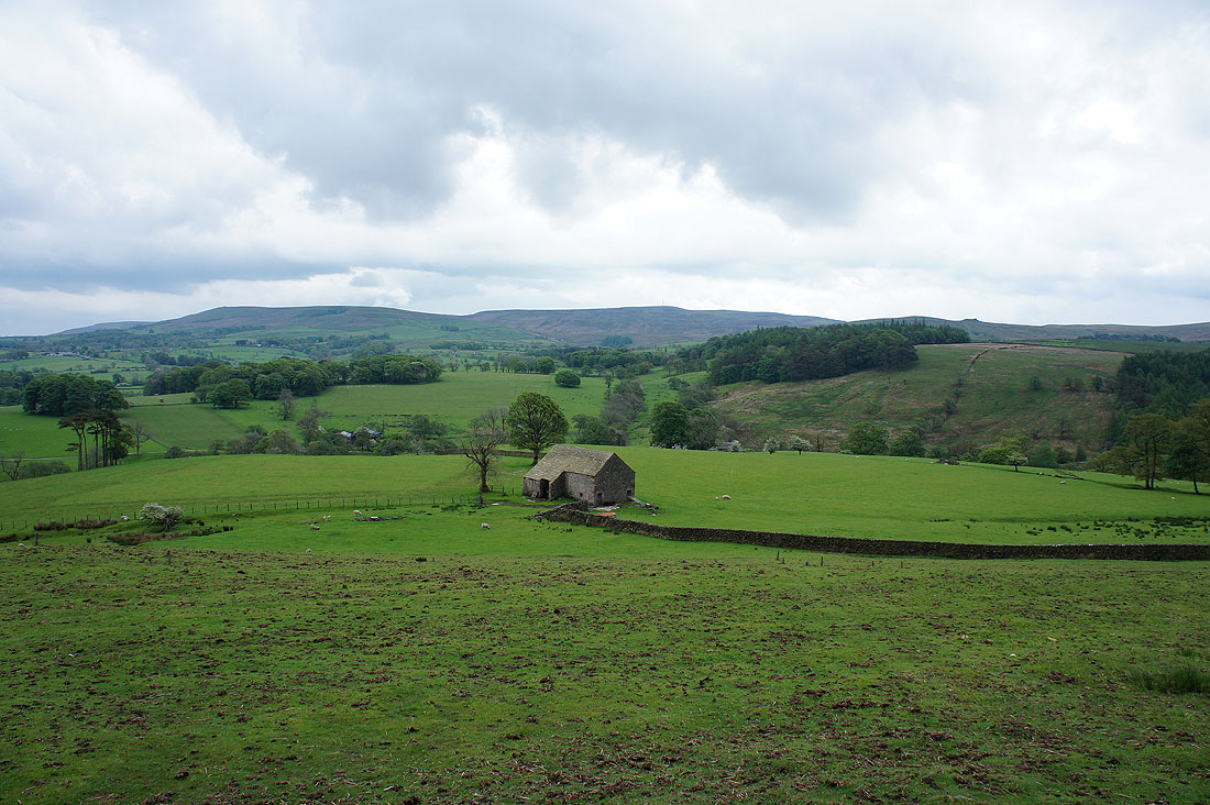
and a bit to the right, Easington Fell
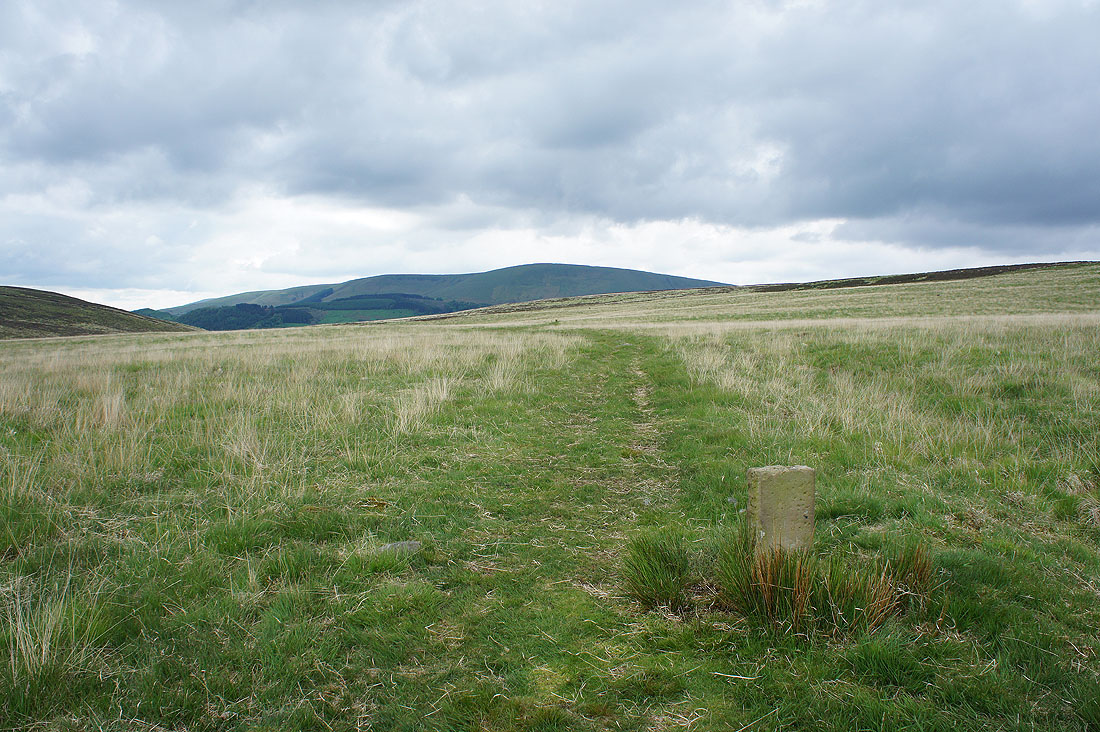
The path across the top has a series of stone marker posts to guide the way
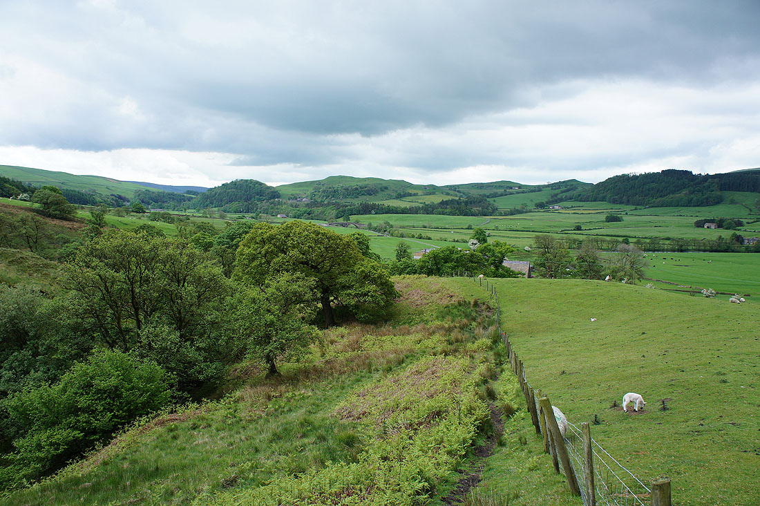
Down the other side by Fielding Clough to Burholme Farm
Totridge and Mellor Knoll
On the field footpath from Burholme Farm, looking back to New Laund Hill
A watersmeet, Langden Brook joins the Hodder
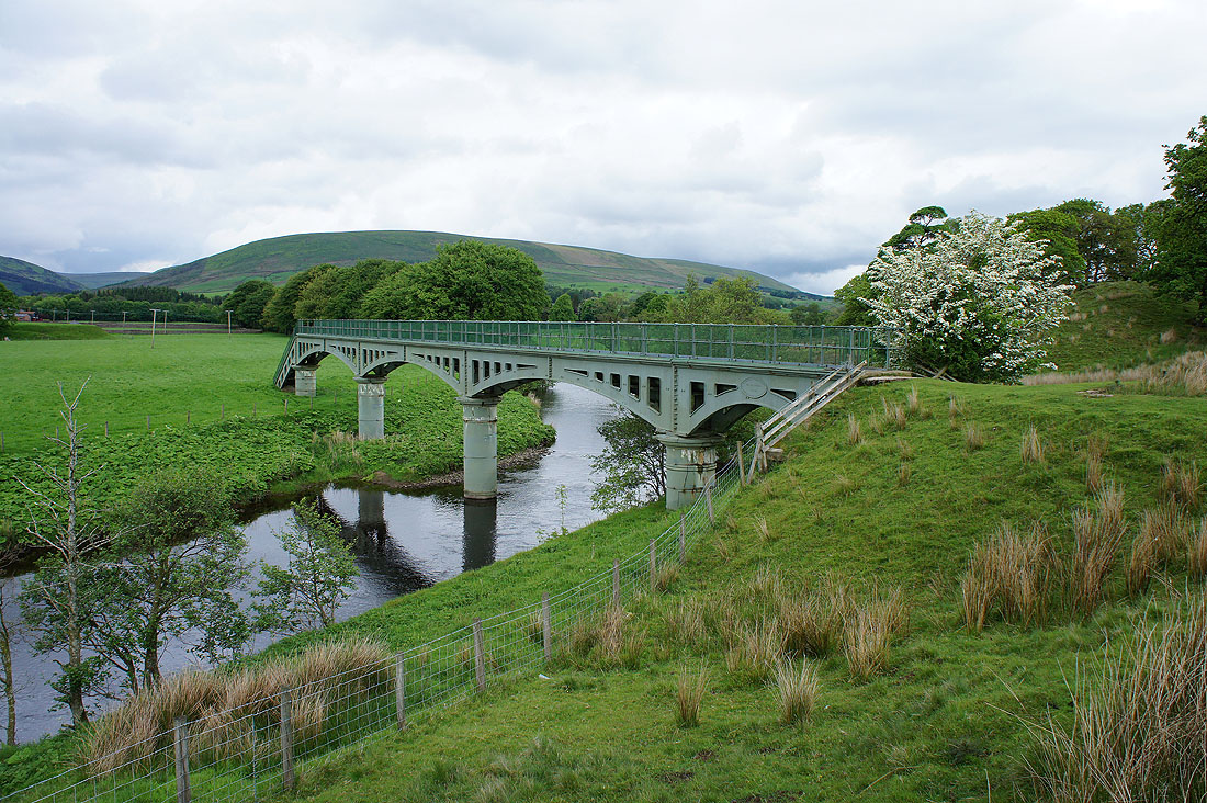
A footbridge carrying an aquaduct from the Langden Intake. Not on my route but I'll get a view of the river from it.
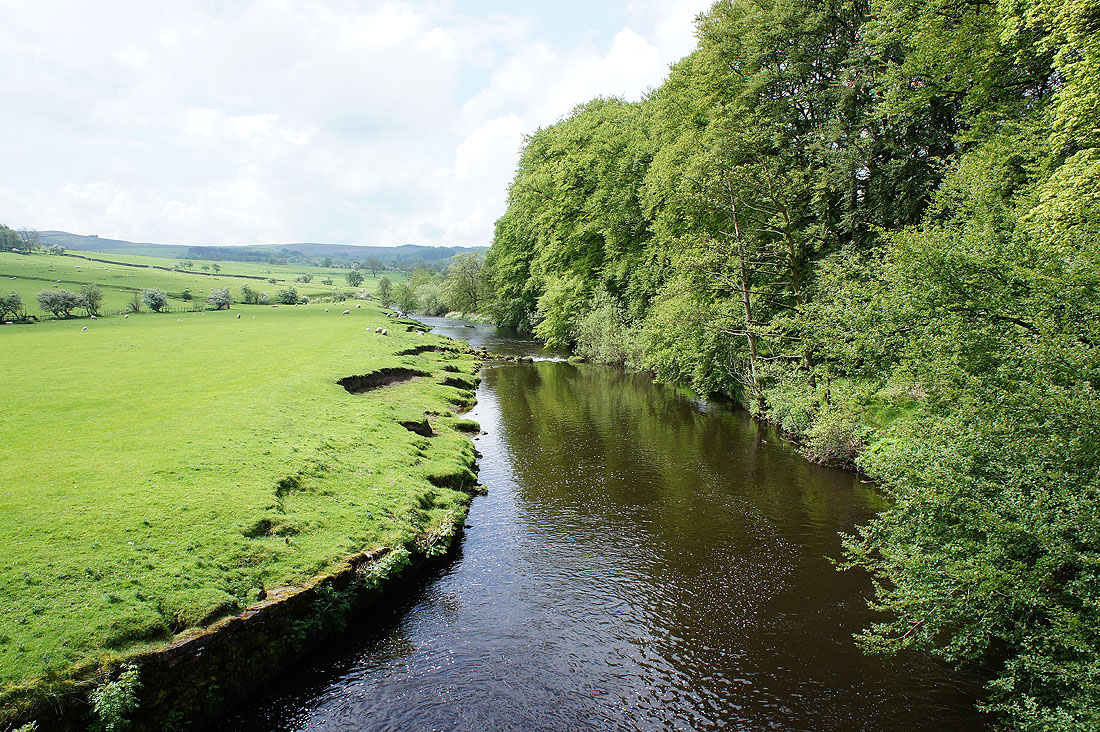
The River Hodder from the footbridge
Back by the river and following the path to Thorneyholme Hall
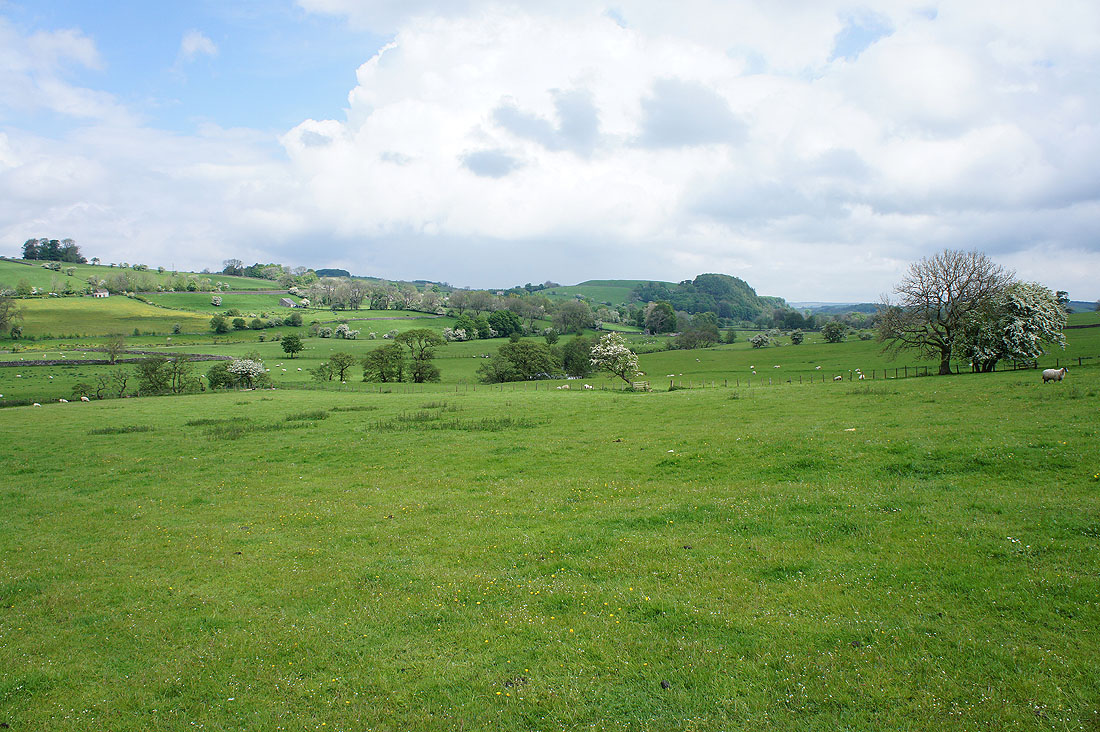
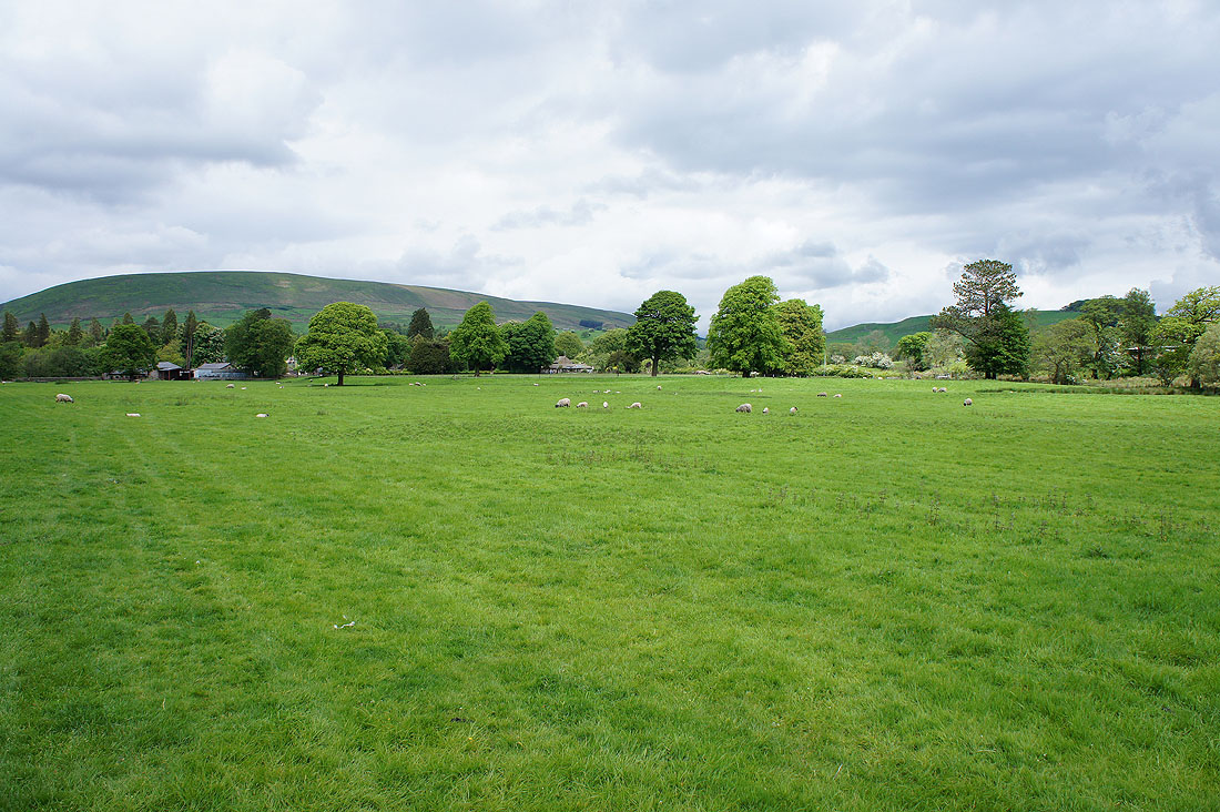
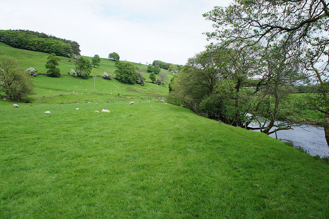
Hodder farmland
Another watersmeet, the River Dunsop joins the Hodder and I'll use the footbridge just ahead to cross to the other side of the river
Thorneyholme Hall
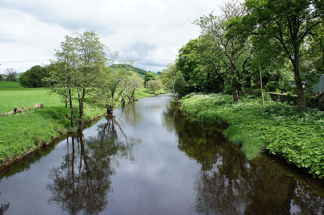
The Hodder from the footbridge
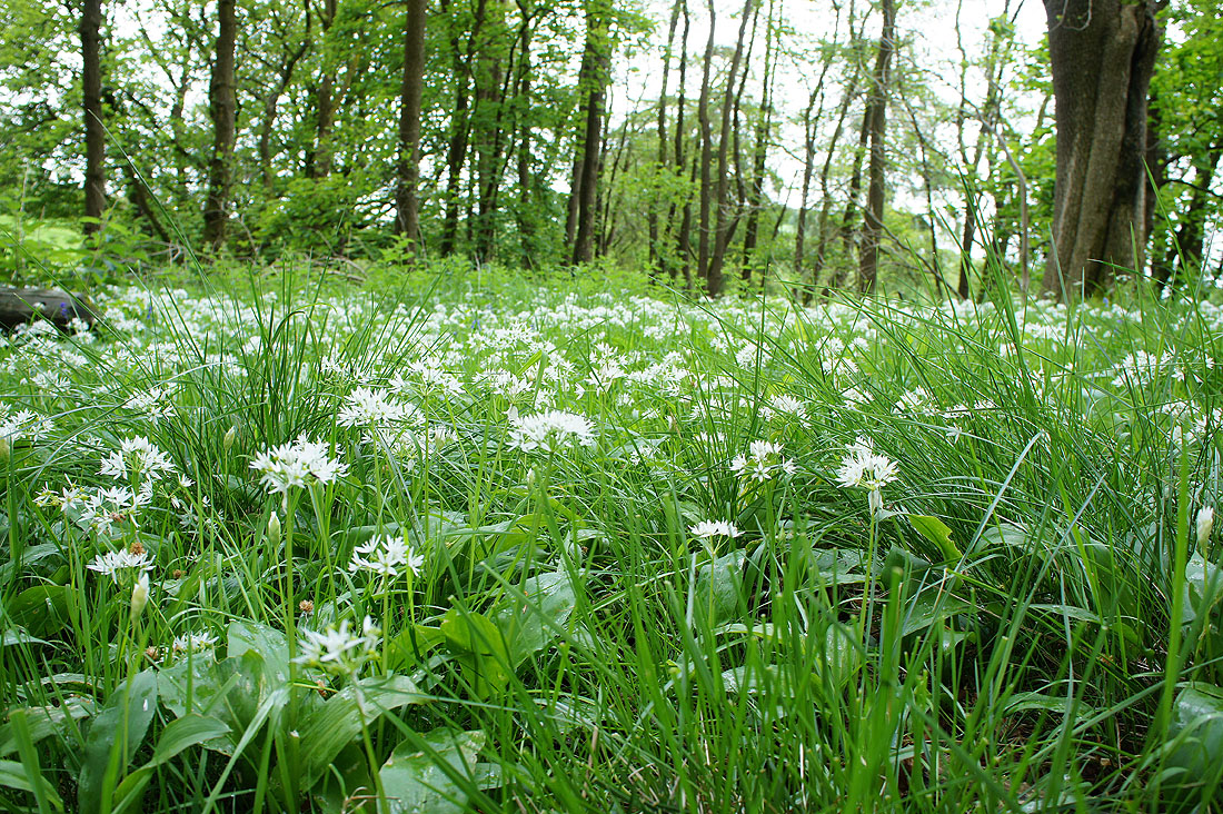
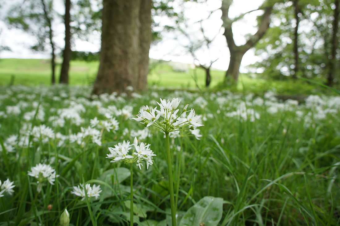
A sea of wild garlic as I walk through a patch of woodland
By the north bank of the Hodder
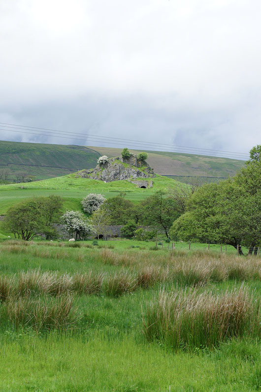
Zooming in on Knot or Sugar Loaf. A limestone knoll that used to be quarried.
Just ahead my path leaves the river and heads up the hillside to the residence of Boarsden
Looking back with the fells of Totridge on the left and Staple Oak Fell on the right
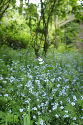
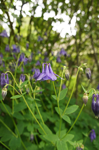
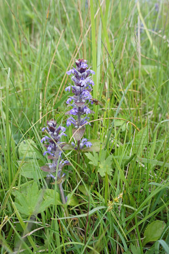
Flora encountered en route. The first two were next to the path at Boarsden, on the left is Forget Me Not, I don't know what the one in the middle is. On the right is Common Bugle, seen in a field I passed through back to Newton.
Easington Fell in the distance from a field above Newton
Nearly there
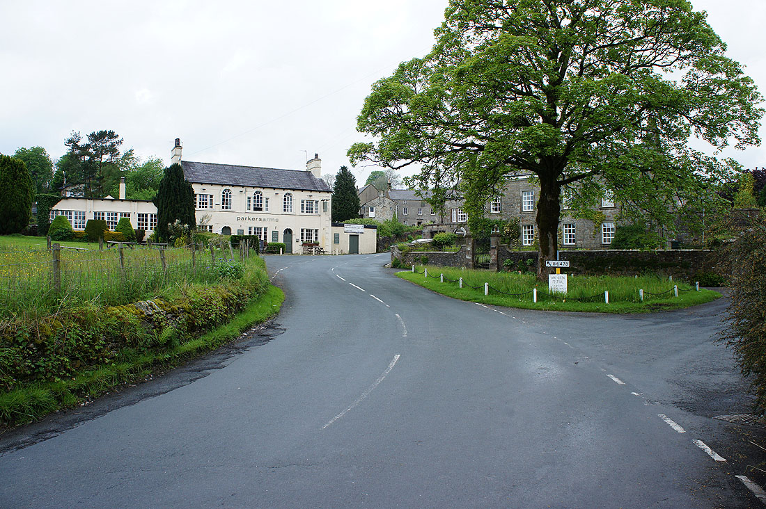
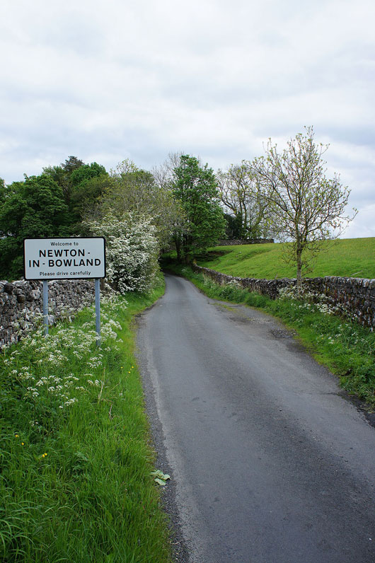
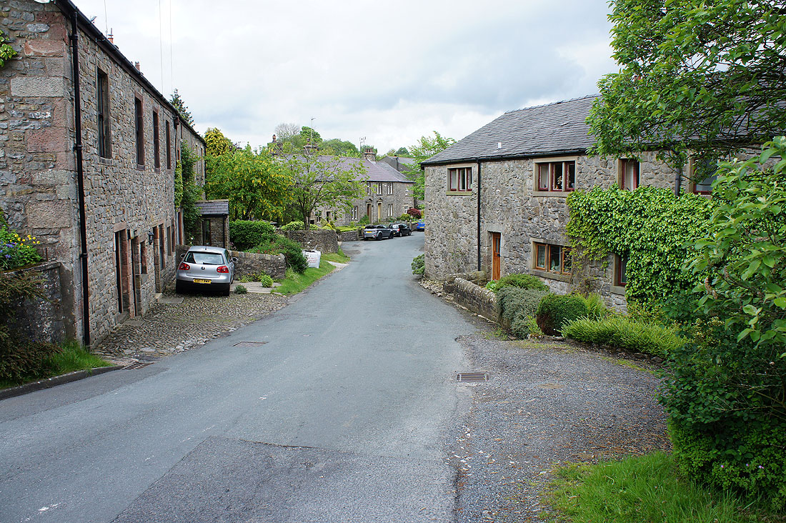
Back in Newton-in-Bowland
