25th May 2019 - Guise Cliff and the Nidderdale Way
Walk Details
Distance walked: 9.9 miles
Total ascent: 1578 ft
OS map used: 298 - Nidderdale
Time taken: 5.5 hrs
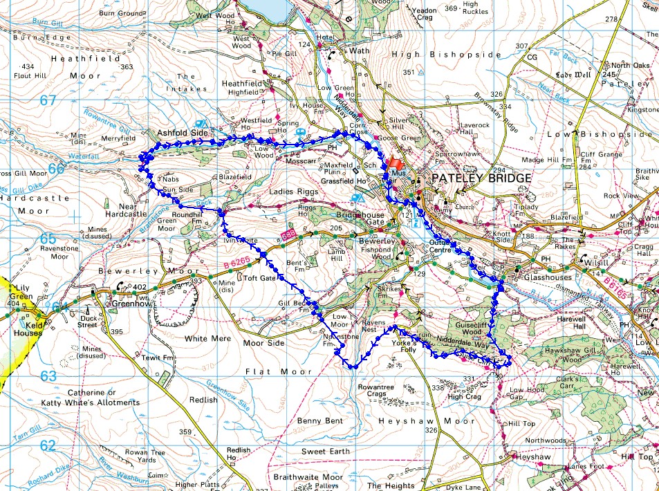
Route description: Pateley Bridge-Glasshouses Bridge-Hollin Farm-Parker Wood-Bark Cabin Wood-Abraham Crags-Guise Cliff-Yorke's Folly-Nought Bank Road-Nought Moor-Fosse Gill-Low Moor-Gillbeck Farm-B6265-Ivin Waite-Nidderdale Way-Ashfold Side-Nidderdale Way-Heathfield Caravan Park-Grange Lane-Corn Close-Pateley Bridge
Saturday has the best weather this weekend and even then it was forecast to go downhill during the day with rain possibly arriving during the second half of the afternoon. I decided to visit Nidderdale again, the third time in the last five weeks. I still have a lot of the valley to explore. The route I went for took in Guise Cliff, a line of gritstone crags on the western side of the dale between Pateley Bridge and Glasshouses, and then making use of the Nidderdale Way and field paths I made my way to the disused mines of Ashfold Side further up the dale before returning to Pateley Bridge. After leaving Pateley Bridge I wasted no time in making my way to Guise Cliff, and even then I only just made it before advancing cloud turned the sunshine very hazy. There were great views to enjoy from the tops of the crags and I can imagine autumn being a good time to go with all the woodland around. Any remaining sunshine soon disappeared after midday and the afternoon turned increasingly grey and breezy, with rain starting to fall by the time I returned to Pateley Bridge.
From the riverside car park in Pateley Bridge I followed the footpath south by the west bank of the Nidd to Pateley Bridge, crossed the bridge, and continued south by the east bank of the river past Glasshouses Dam to Glasshouses Bridge. I then crossed Glasshouses Bridge, took the track on the left, then immediately the one on the right at a row of cottages and followed it up to Hollin Farm. From Hollin Farm I then took the footpath up into Parker Wood and tried to keep going in a southeasterly direction on the paths through Bark Cabin Wood until I emerged from the woodland below the communication mast on Abraham Crags. I then made my way up onto the crags and followed the top of Guise Cliff round to the west, where after joining the Nidderdale Way I passed the ruin of Yorke's Folly and reached Nought Bank Road. Across the road I took the footpath in a southwesterly direction across Nought Moor to Fosse Gill, then after crossing a footbridge and heading uphill I took a bridleway south, then another one northwest across Low Moor to reach a lane. I crossed the lane and took the footpath opposite to reach Gillbeck Farm, and then continued on a path across fields to reach the B6265. After crossing the road I continued on a path across fields and down to Ivin Waite, then along its access road to where I picked up the trail of the Nidderdale Way. I then followed the trail west, down to and across Brandstone Dub Bridge, and around the hill of Nabs to the disused mines of Ashfold Side. Once through the mine workings and across Ashfold Side Beck I continued to follow the Nidderdale Way east along a track through Westfield Caravan Site before leaving it for a track through Heathfield Caravan Park out to Grange Lane. I turned right onto Grange Lane and walked the short distance to reach the main road up Nidderdale, which after crossing I took the footpath opposite past Brigg House to the banks of the Nidd, and a short walk back to the car park.
Route map
It's a beautiful morning in Nidderdale
By the River Nidd as I head to Pateley Bridge..
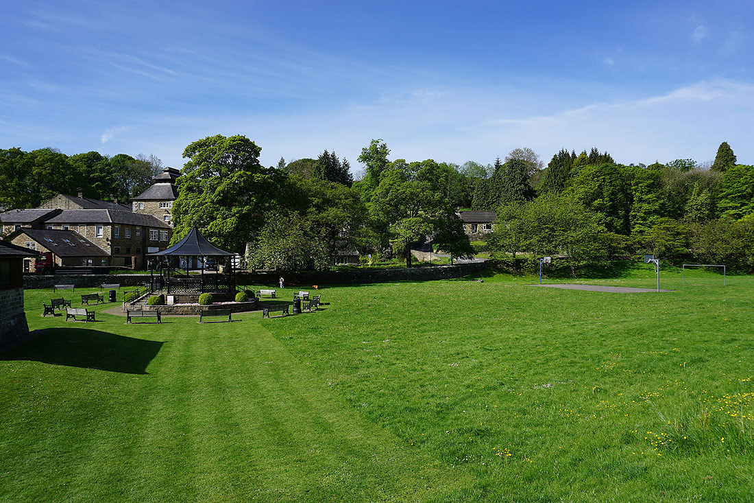
The park in Pateley Bridge
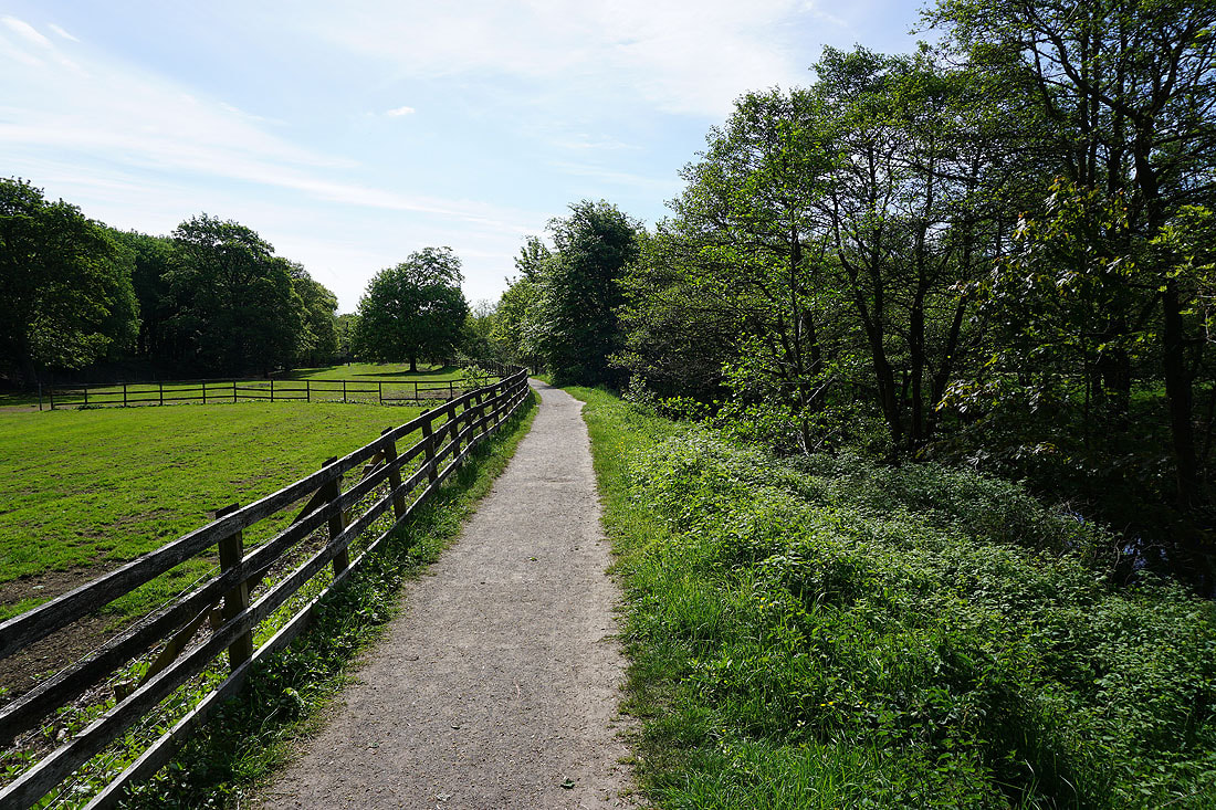
Having crossed the road at Pateley Bridge, on the footpath south by the east bank of the Nidd
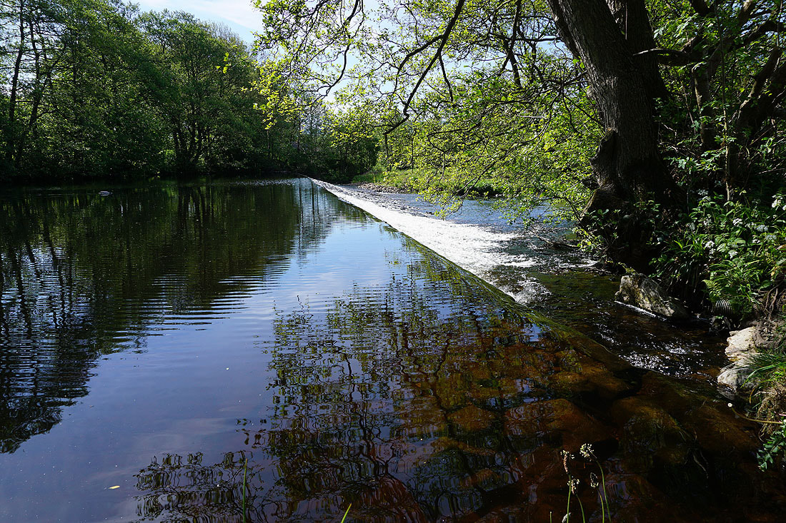
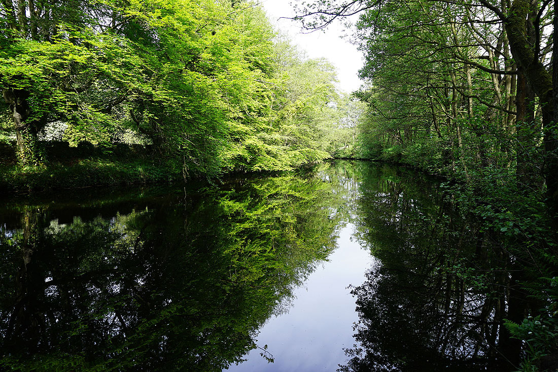
A flat calm Nidd..
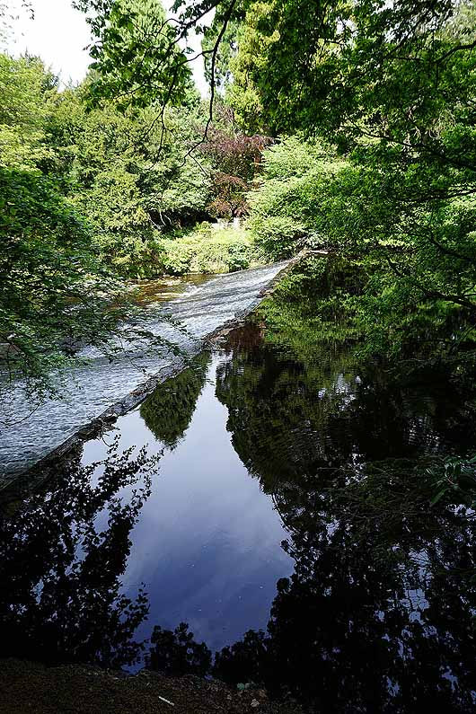
..goes over a weir
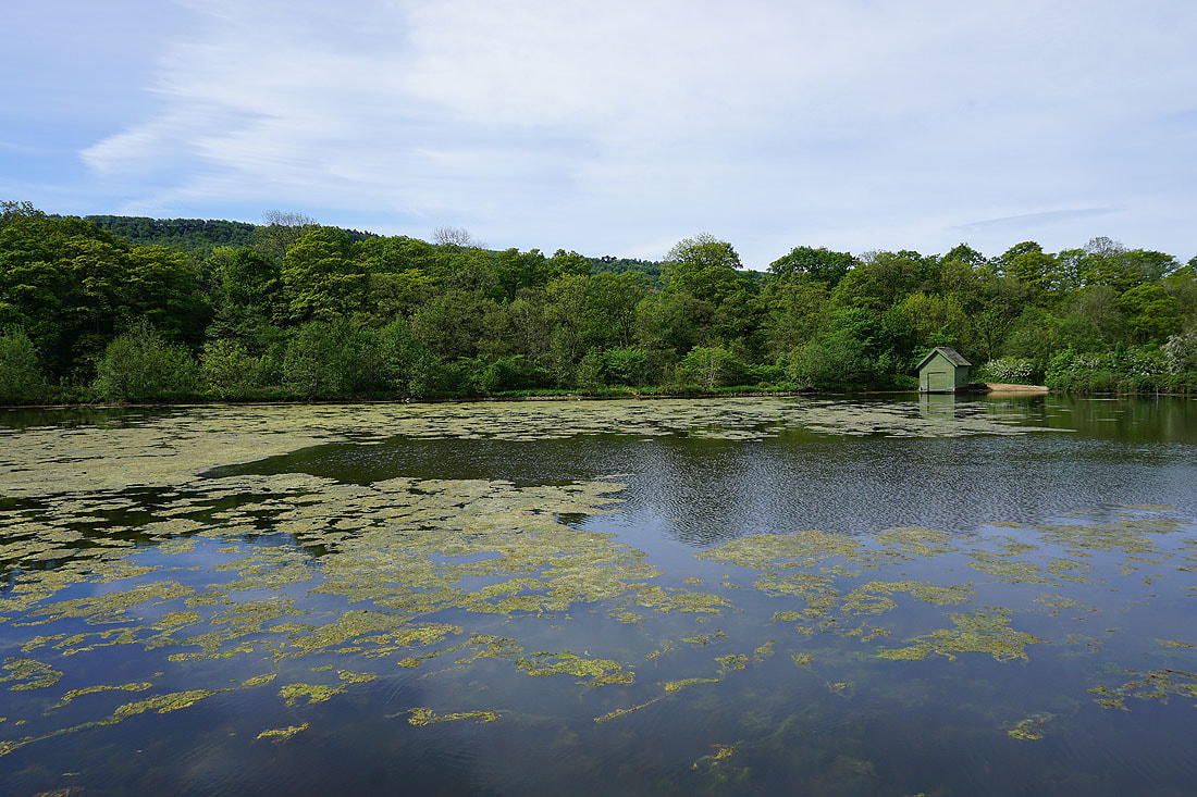
Glasshouses Dam
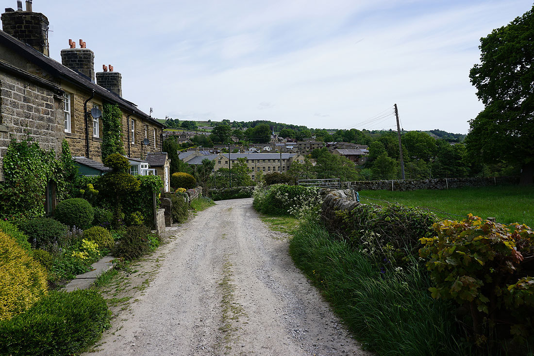
The village of Glasshouses after crossing the river at Glasshouses Bridge
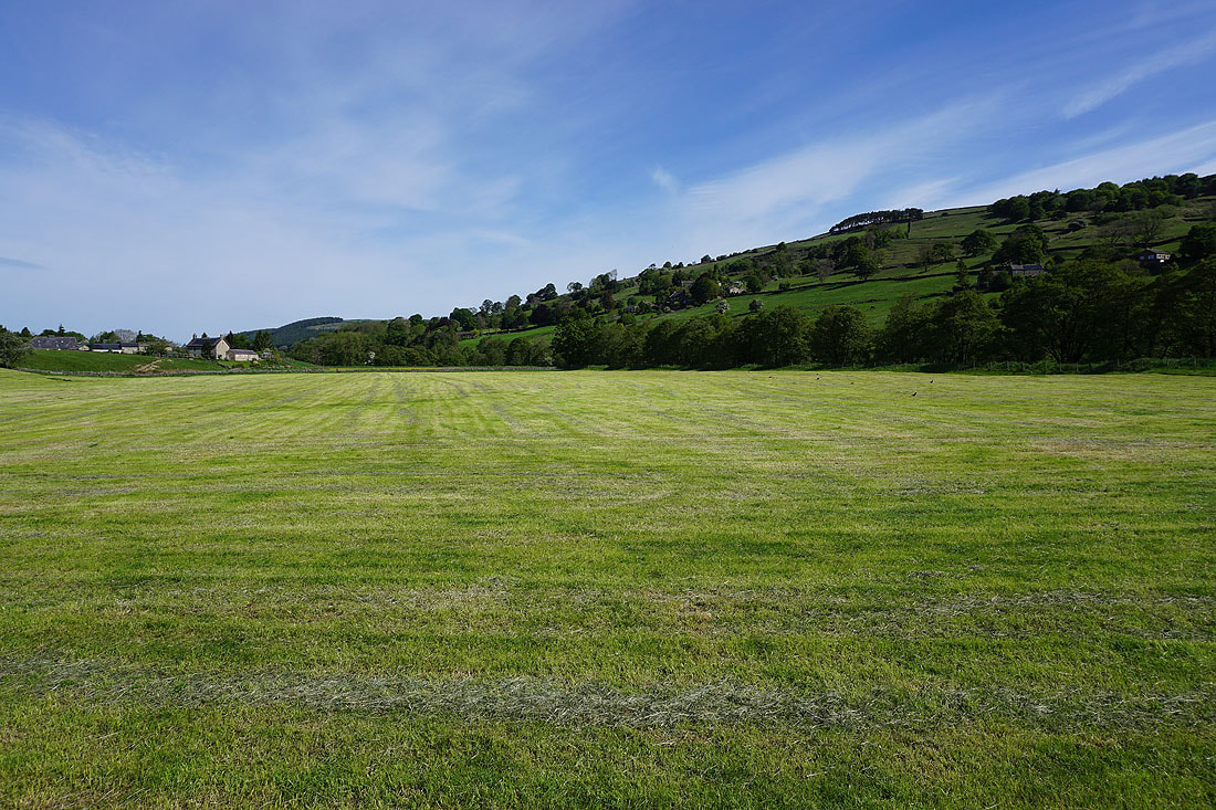
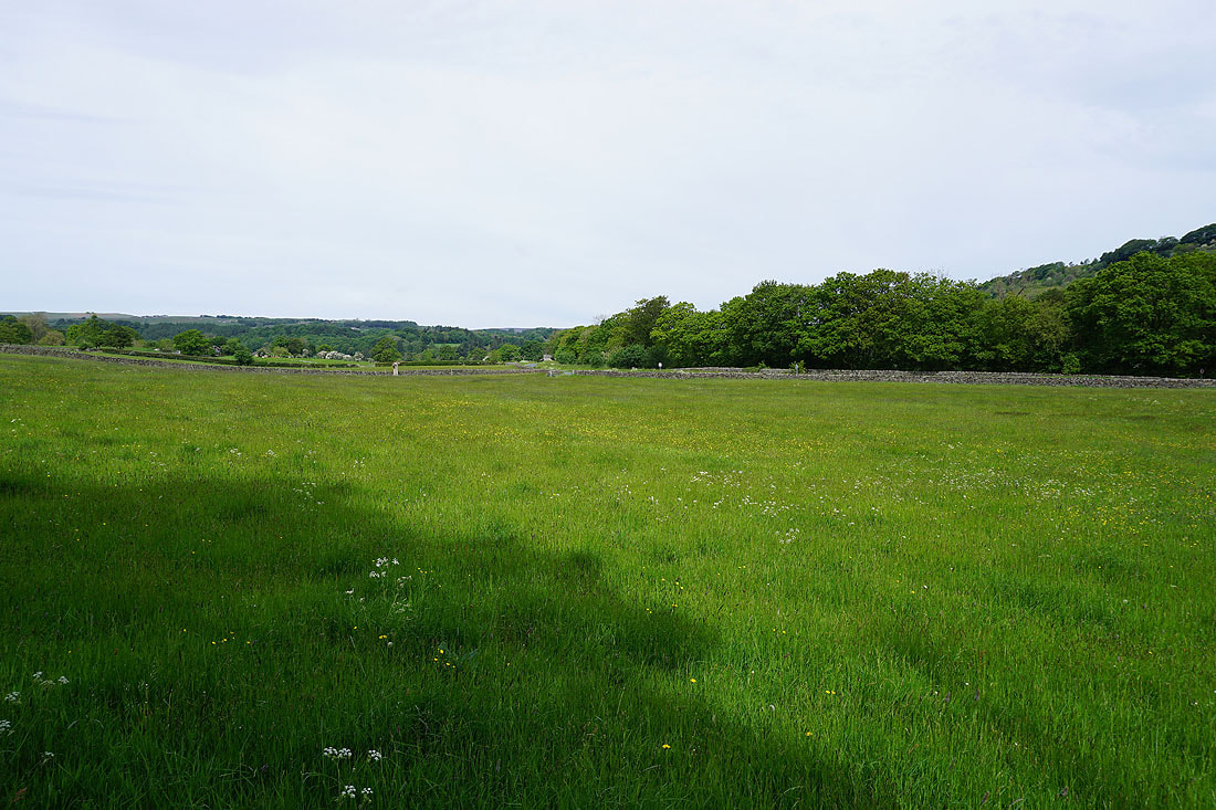
Nidderdale hay meadows..
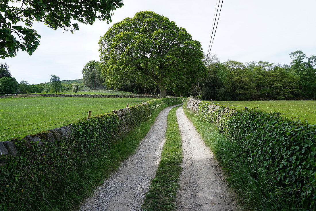
..as I walk up the track to Hollin Farm
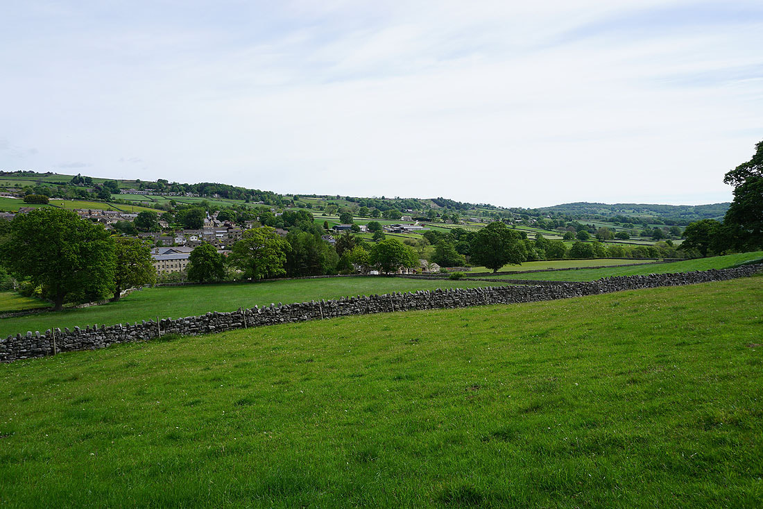
Glasshouses and Nidderdale
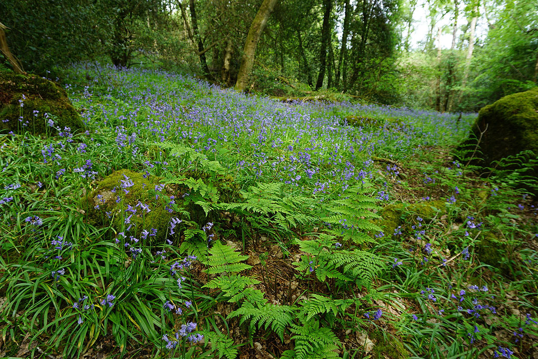
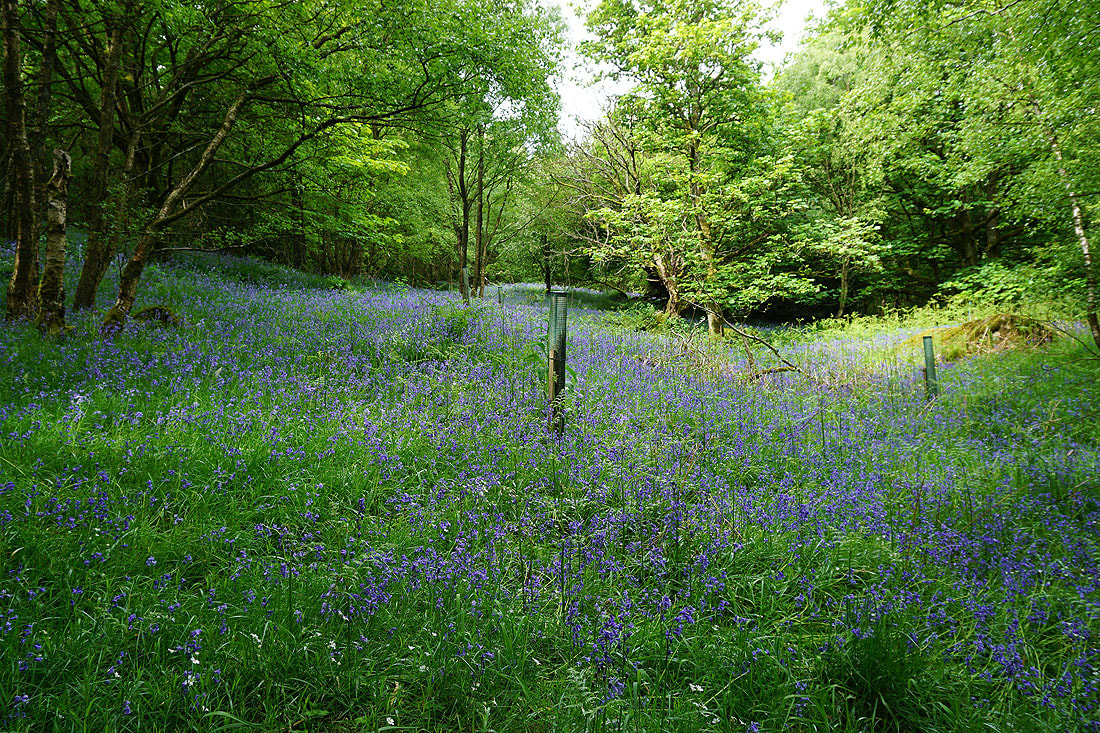
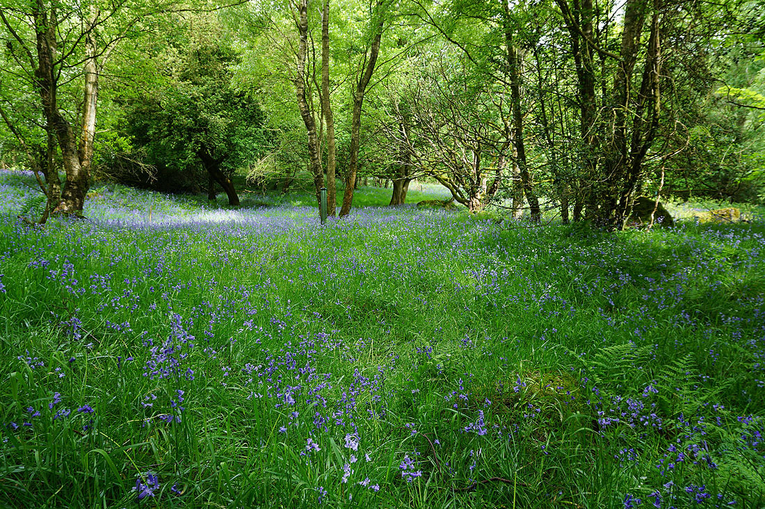
Bluebells in Parker Wood...
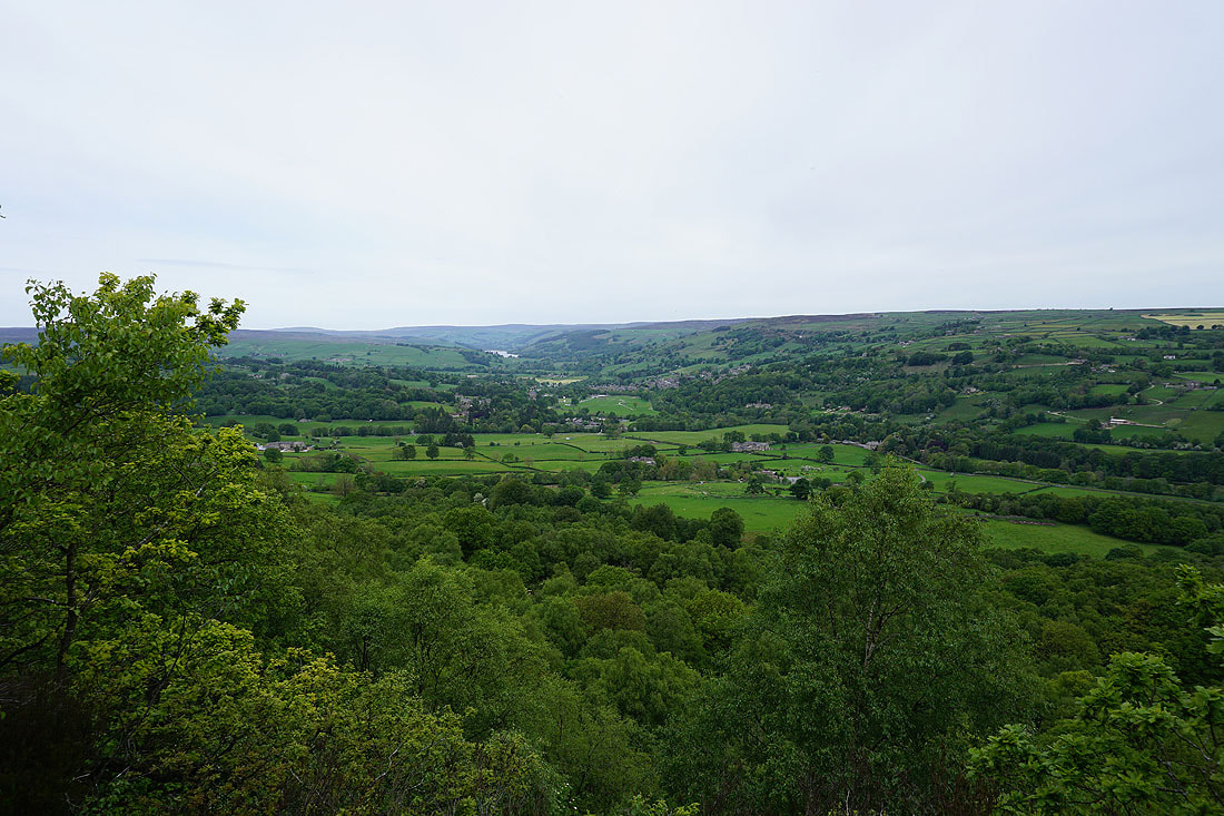
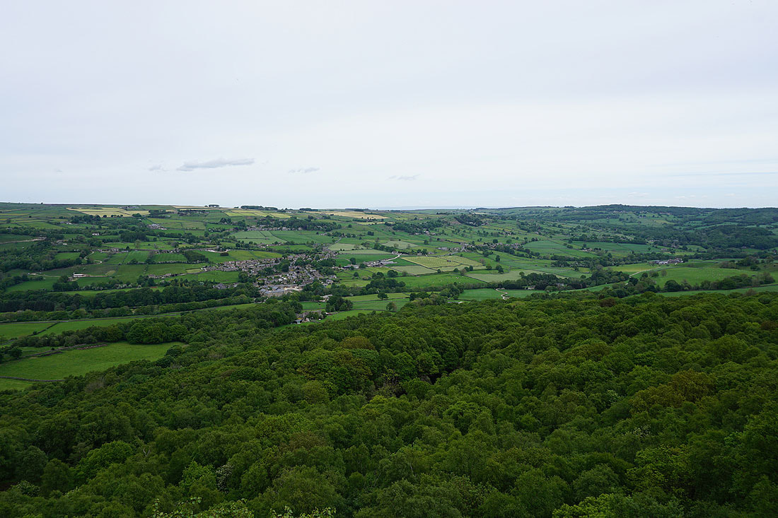
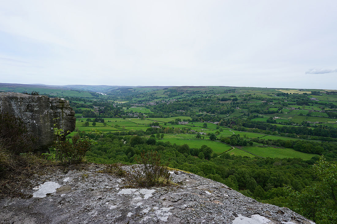
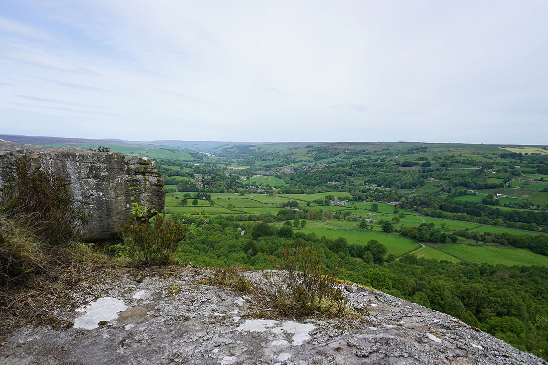
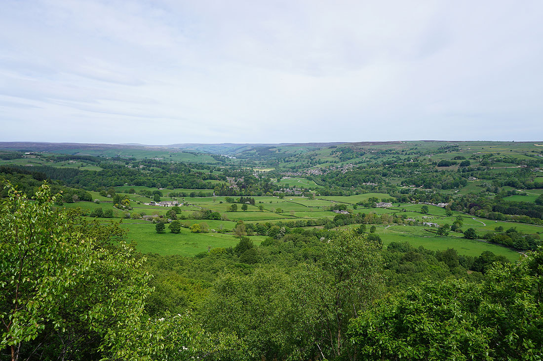
I've finally made it out of the woodland and up to the eastern end of Guise Cliff. There are views up Nidderdale to Gouthwaite Reservoir and Pateley Bridge.
and down the dale to Glasshouses and Brimham Moor
These crags that I'm sat at the top of are a great spot for taking in the view as brighter skies move across...
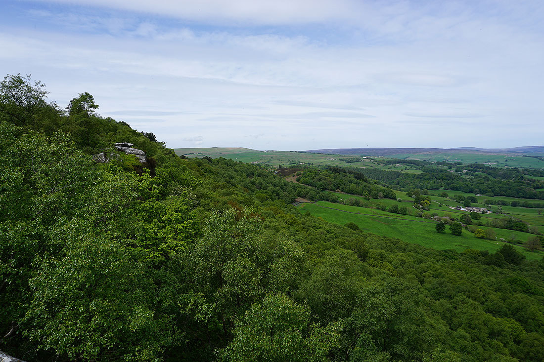
Looking west along the edge of the cliff to Bewerley Moor
A final look up Nidderdale as I leave Guise Cliff
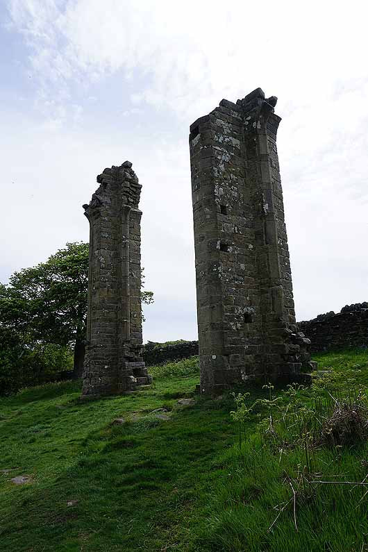
The ruins of Yorke's Folly
On the path from Guise Cliff to Nought Bank Road
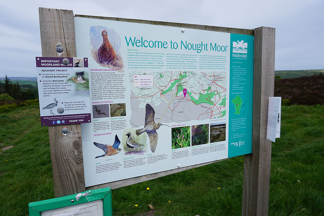
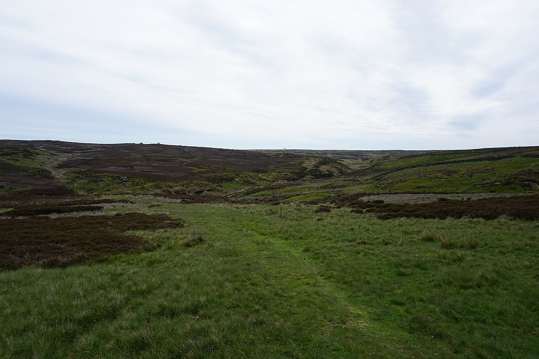
Onto Nought Moor
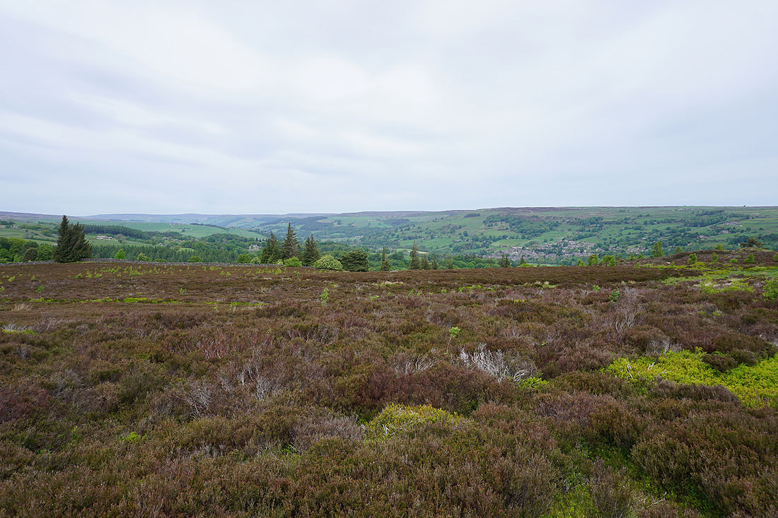
Looking across Nidderdale from Nought Moor
Heading down to cross the footbridge over Fosse Gill..
Looking back to Fosse Gill with Braithwaite Moor above
On the bridleway down Low Moor
and then the one across Low Moor past Noonstone Farm
Pastures at Gillbeck Farm
and looking back to Gillbeck Farm with Low Moor beyond
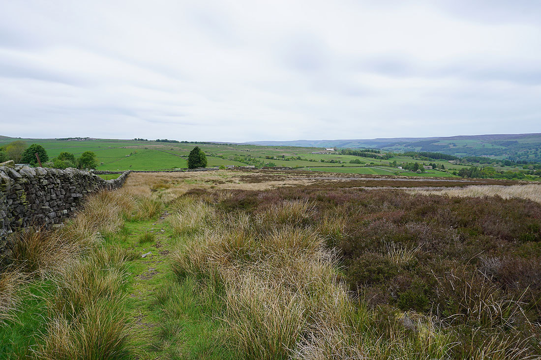
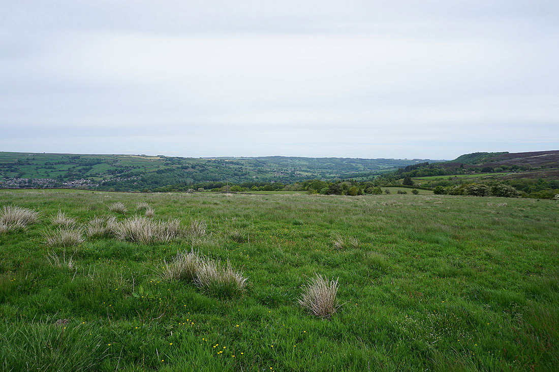
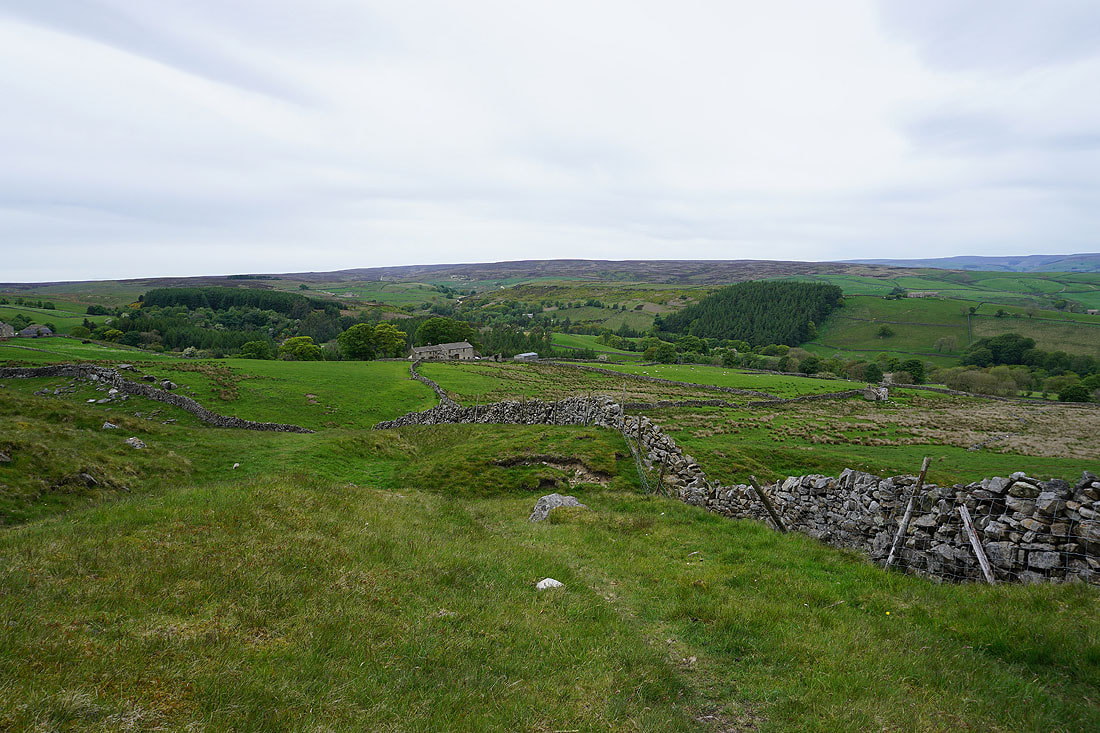
A view across Nidderdale with Pateley Bridge on the left and Guise Cliff on the right. The sunshine of this morning has definitely gone now.
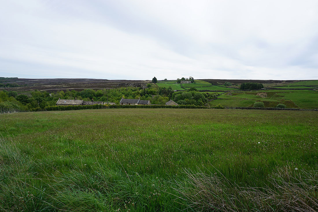
Heading down to Ivin Waite with Heathfield Moor in the distance
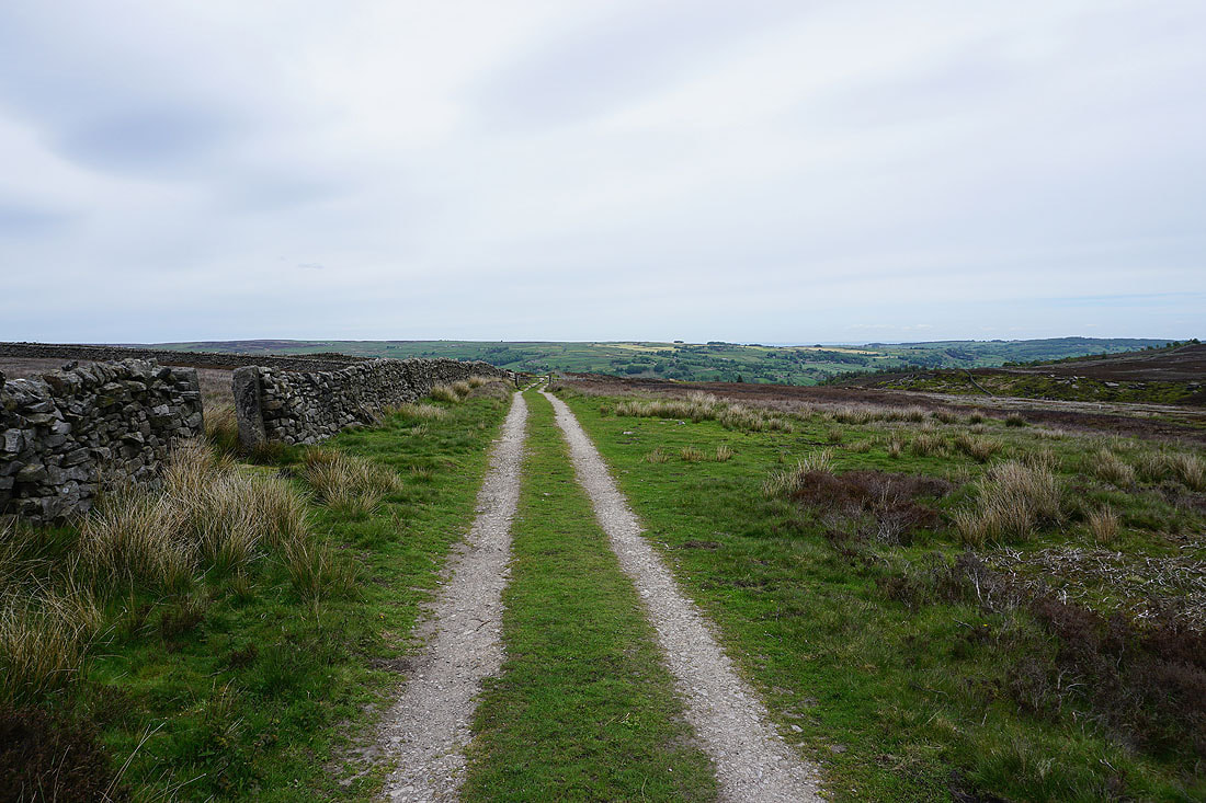
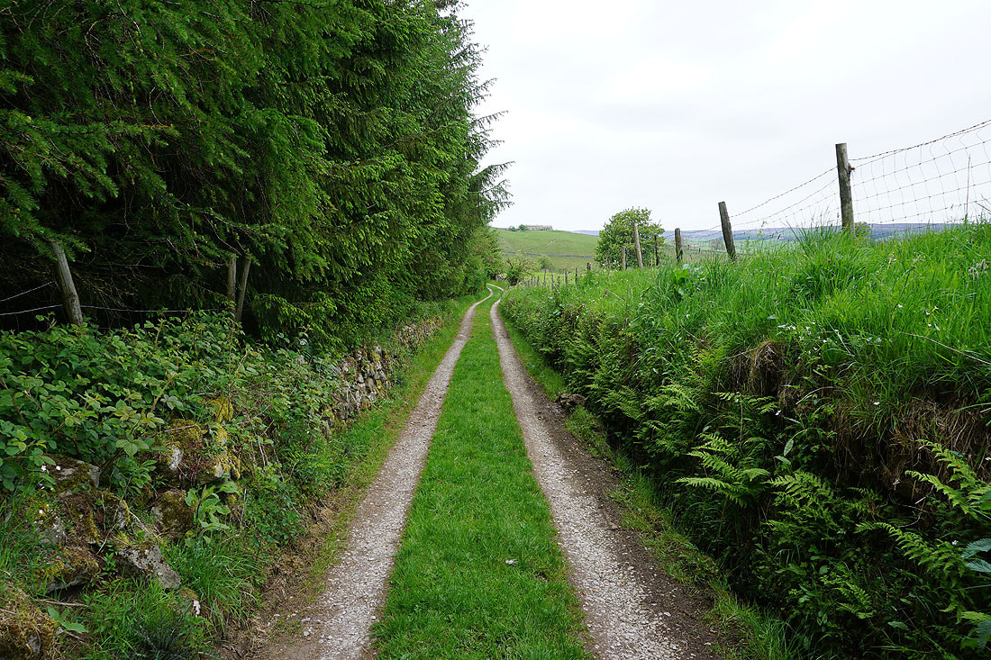
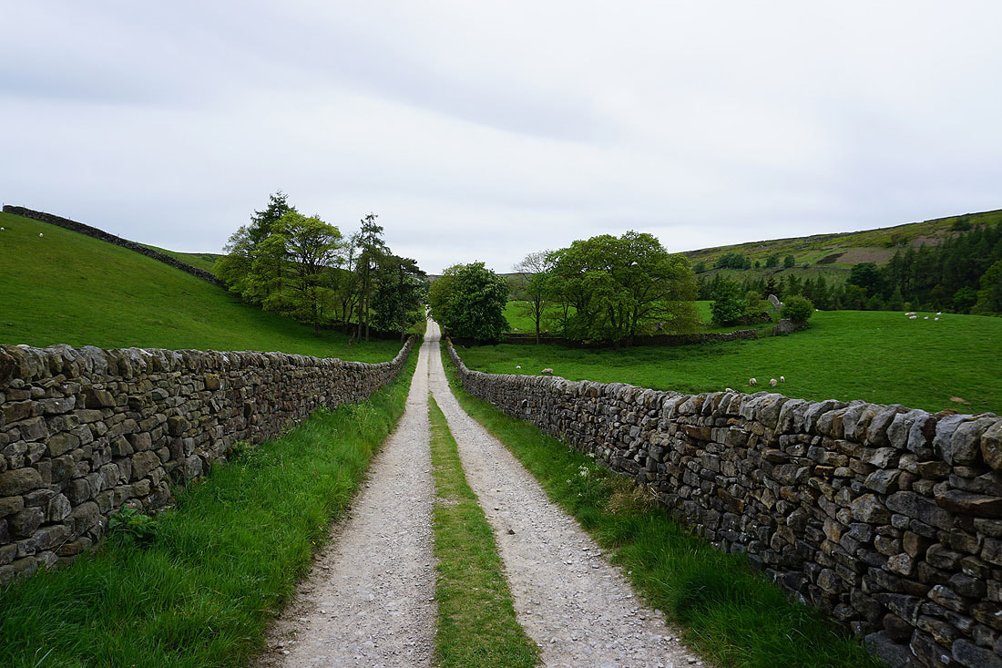
Down the access track for Ivin Waite
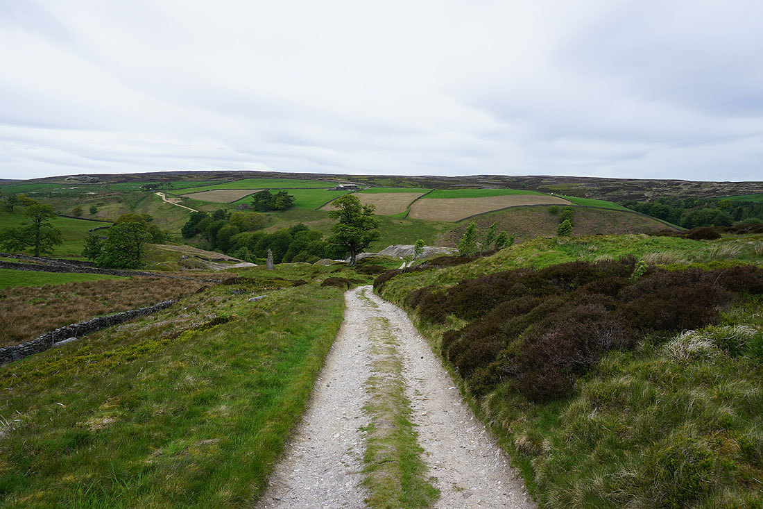
and then it's onto the Nidderdale Way to Ashfold Side
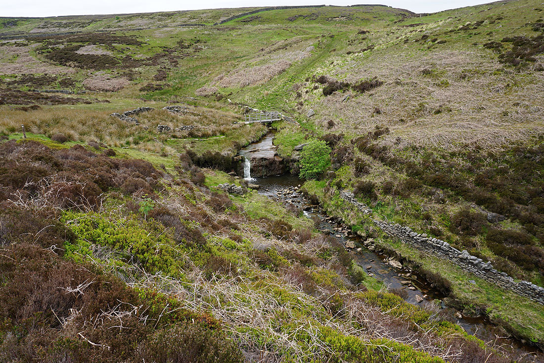
A little waterfall on Brandstone Beck just before I cross Brandstone Dub Bridge
Approaching the disused mines of Ashfold Side as I round the little hill of Nabs
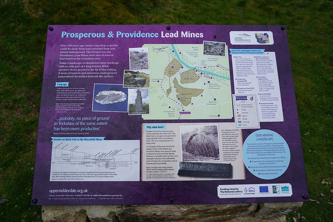
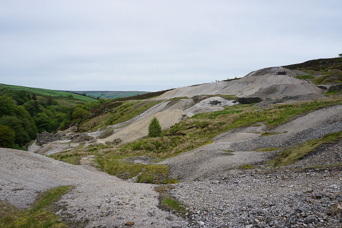
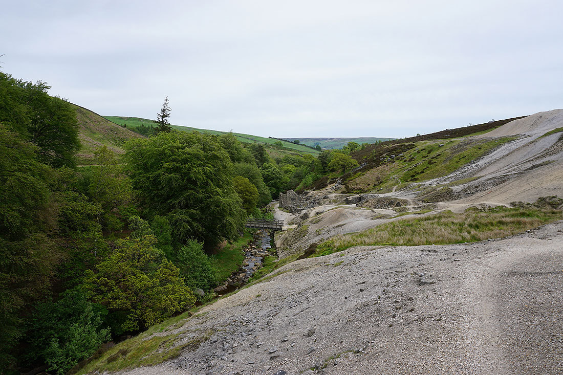
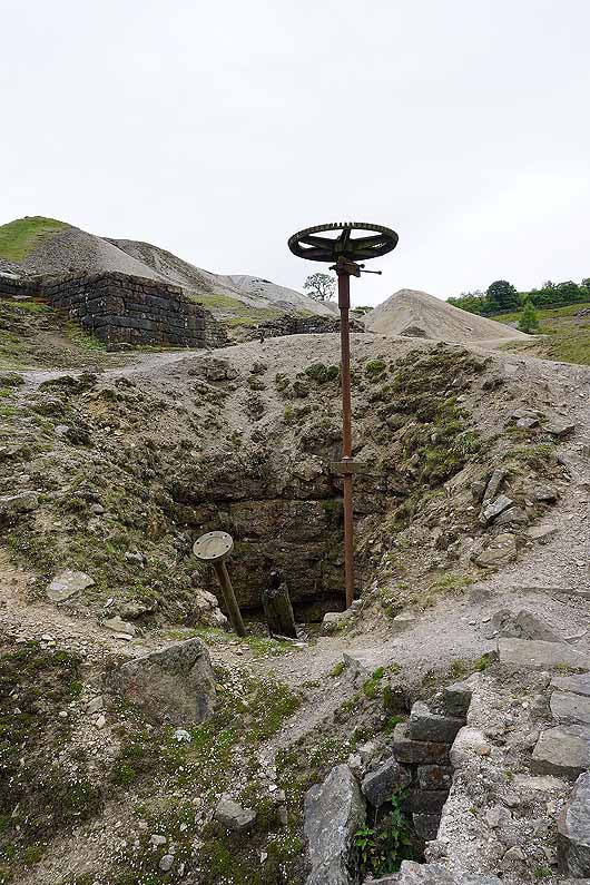
Exploring the disused mines of Prosperous and Providence.....
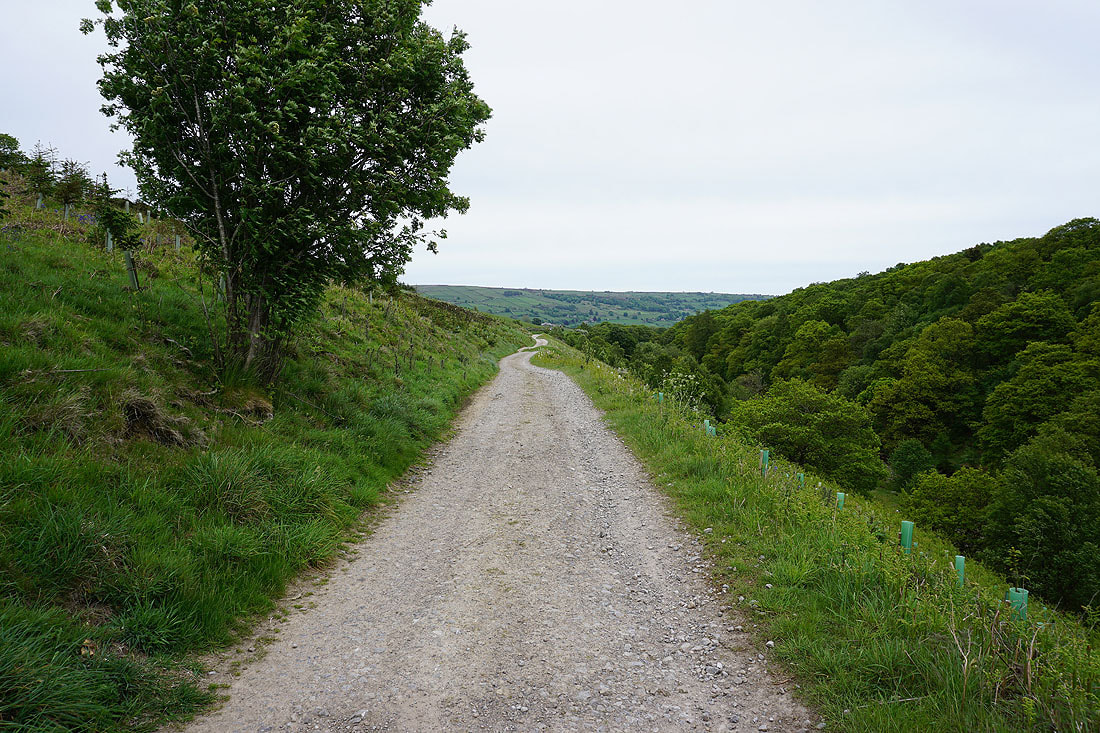
On the Nidderdale Way above Ashfold Side Beck
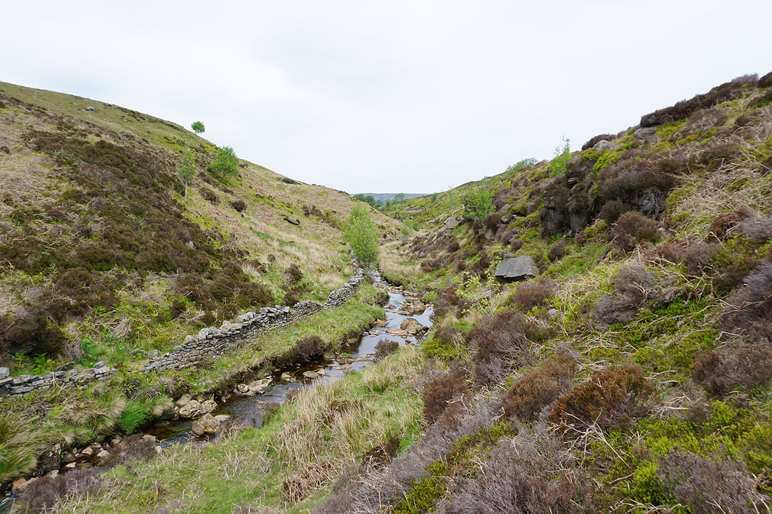
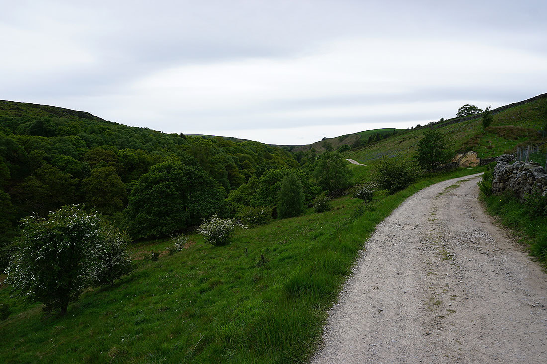
Looking back up the valley of Ashfold Side Beck
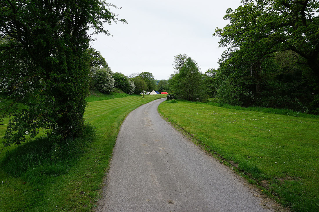
The Nidderdale Way then makes it way through Westfield Caravan Site and Heathfield Caravan Park. It always feels a bit strange walking through such places with all my hiking gear on.
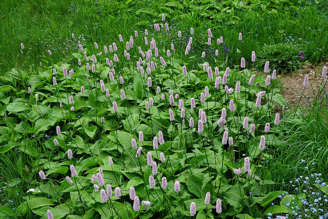
Lots of Meadow Bistort
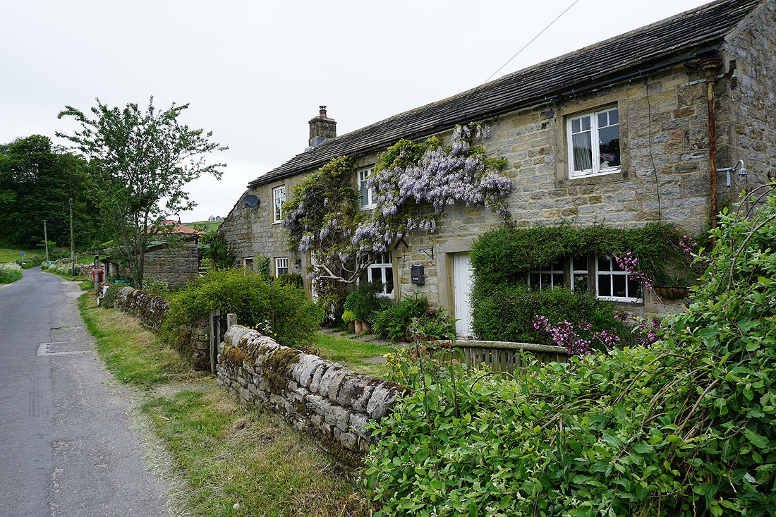
Cottage adorned with wisteria on Grange Lane
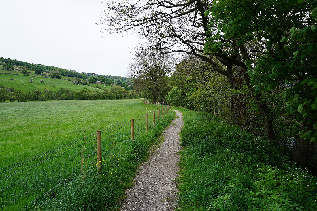
Having crossed the road up Nidderdale I finish with following a footpath across fields back to the car park by the river..
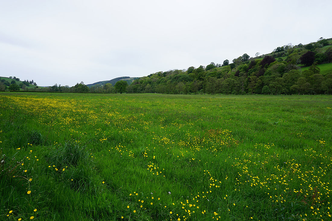
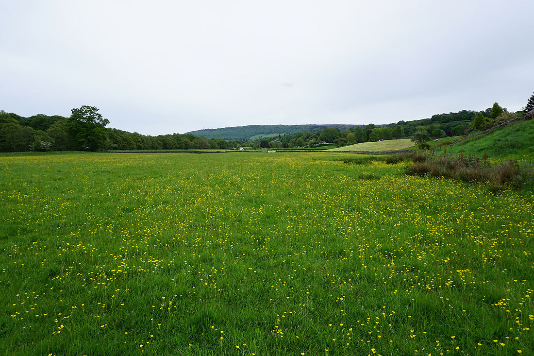
Buttercup filled meadows by the path back to the car park..
