25th May 2020 - Pinhaw Beacon
Walk Details
Distance walked: 13.8 miles
Total ascent: 2085 ft
OS map used: OL21 - South Pennines
Time taken: 7 hrs
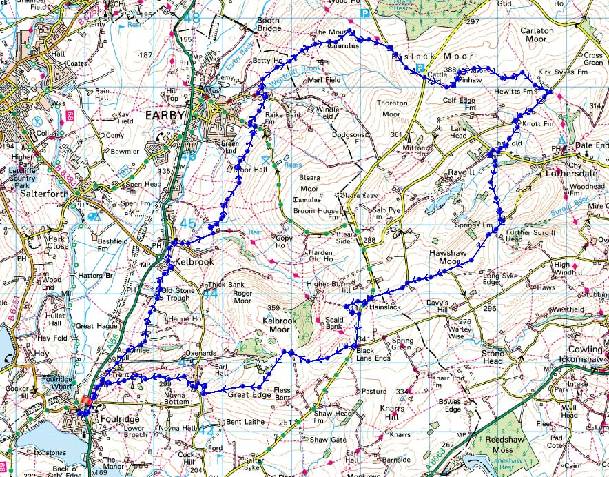
Route description: Foulridge-Skipton Old Road-Old Stone Trough Lane-Waterloo Road-Kelbrook-Main Street-Harden Road-Heads Lane-Pendle Way-Earby-Birch Hall Lane-Mill Brow Road-Wentcliff Brook-Gaylands Lane-Rectory Allotment-Clogger Lane-Pennine Way-Pinhaw Beacon-Pennine Way-White Hill Lane-The Fold-Lothersdale-Hawshaw Road-Burnt Hill-Skipton Old Road-Black Lane Ends-Piked Edge-Harwes Farm-Great Edge-Cob Lane-Noyna End Farm-Noyna Hill-Skipton Old Road-Foulridge
A full days hike at last! It may have been from home, but there's nothing wrong with that, there's some beautiful countryside right on my doorstep, which I've really come to appreciate during the past couple of months. When the weather is as good as it was today these moors are a great place for walking. I enjoyed wall-to-wall blue skies and sunshine from start to finish, and with summer warmth. This was the longest walk that I've done for some time, a real good leg stretcher, and with wearing trail shoes instead of hiking boots I certainly knew afterwards that I'd racked up some mileage.
From where I live in Foulridge I crossed the A56 and walked north along Skipton Old Road and Old Stone Trough Lane to Kelbrook, then along Waterloo Road and Main Street to St. Mary's Church, where I turned right onto Harden Road. At the end of Harden Road I carried on up the track of Heads Lane until I reached the Pendle Way. I then followed the Pendle Way north across the hillside to Earby, crossing Coolham Lane, to reach Birch Hall Lane. I then walked down Birch Hall Lane to the Youth Hostel where I took a footpath on the right down through woodland, across Wentcliff Brook, and up to Gaylands Lane. After walking up Gaylands Lane I reached access land and the bridleway across the moorland of Rectory Allotment to reach Clogger Lane and the Pennine Way. I then followed the Pennine Way up Clogger Lane and then up to the summit of Pinhaw Beacon, where I stopped for lunch. After this much needed break I kept on the Pennine Way and followed it east down to White Hill Lane above Lothersdale. I then walked west along White Hill Lane until I reached Knot Barn, where I took a footpath down to and across Knot Gill and then down to The Fold, in Lothersdale. After turning right and walking along the lane through the hamlet I reached the track to Raygill, then after a short walk along this I took a footpath on the left and followed it up the hillside to Hawshaw Road. A long walk west along Hawshaw Road later and I reached the junction with Skipton Old Road. There was a short walk south along the verge to reach the footpath along a track onto Burnt Hill, which took me in a loop and onto the Pennine Bridleway back to Skipton Old Road, for another walk south along the verge to Black Lane Ends and Black Lane Ends Tavern (closed). I took the public footpath through the pub car park and up onto the hill of Piked Edge and then across fields to Harwes Farm, where I took the footpath southwest onto Great Edge. I then followed the path west down Great Edge and across Moss Houses Beck and up to Cob Lane. A path from Cob Lane at Noyna End Farm took me up onto Noyna Hill, and the path west across its top and down to Skipton Old Road was followed. A short walk back to my home in Foulridge was left.
Total ascent: 2085 ft
OS map used: OL21 - South Pennines
Time taken: 7 hrs
Route description: Foulridge-Skipton Old Road-Old Stone Trough Lane-Waterloo Road-Kelbrook-Main Street-Harden Road-Heads Lane-Pendle Way-Earby-Birch Hall Lane-Mill Brow Road-Wentcliff Brook-Gaylands Lane-Rectory Allotment-Clogger Lane-Pennine Way-Pinhaw Beacon-Pennine Way-White Hill Lane-The Fold-Lothersdale-Hawshaw Road-Burnt Hill-Skipton Old Road-Black Lane Ends-Piked Edge-Harwes Farm-Great Edge-Cob Lane-Noyna End Farm-Noyna Hill-Skipton Old Road-Foulridge
A full days hike at last! It may have been from home, but there's nothing wrong with that, there's some beautiful countryside right on my doorstep, which I've really come to appreciate during the past couple of months. When the weather is as good as it was today these moors are a great place for walking. I enjoyed wall-to-wall blue skies and sunshine from start to finish, and with summer warmth. This was the longest walk that I've done for some time, a real good leg stretcher, and with wearing trail shoes instead of hiking boots I certainly knew afterwards that I'd racked up some mileage.
From where I live in Foulridge I crossed the A56 and walked north along Skipton Old Road and Old Stone Trough Lane to Kelbrook, then along Waterloo Road and Main Street to St. Mary's Church, where I turned right onto Harden Road. At the end of Harden Road I carried on up the track of Heads Lane until I reached the Pendle Way. I then followed the Pendle Way north across the hillside to Earby, crossing Coolham Lane, to reach Birch Hall Lane. I then walked down Birch Hall Lane to the Youth Hostel where I took a footpath on the right down through woodland, across Wentcliff Brook, and up to Gaylands Lane. After walking up Gaylands Lane I reached access land and the bridleway across the moorland of Rectory Allotment to reach Clogger Lane and the Pennine Way. I then followed the Pennine Way up Clogger Lane and then up to the summit of Pinhaw Beacon, where I stopped for lunch. After this much needed break I kept on the Pennine Way and followed it east down to White Hill Lane above Lothersdale. I then walked west along White Hill Lane until I reached Knot Barn, where I took a footpath down to and across Knot Gill and then down to The Fold, in Lothersdale. After turning right and walking along the lane through the hamlet I reached the track to Raygill, then after a short walk along this I took a footpath on the left and followed it up the hillside to Hawshaw Road. A long walk west along Hawshaw Road later and I reached the junction with Skipton Old Road. There was a short walk south along the verge to reach the footpath along a track onto Burnt Hill, which took me in a loop and onto the Pennine Bridleway back to Skipton Old Road, for another walk south along the verge to Black Lane Ends and Black Lane Ends Tavern (closed). I took the public footpath through the pub car park and up onto the hill of Piked Edge and then across fields to Harwes Farm, where I took the footpath southwest onto Great Edge. I then followed the path west down Great Edge and across Moss Houses Beck and up to Cob Lane. A path from Cob Lane at Noyna End Farm took me up onto Noyna Hill, and the path west across its top and down to Skipton Old Road was followed. A short walk back to my home in Foulridge was left.
Route map
© Crown copyright. All rights reserved. License number PU 100034184.
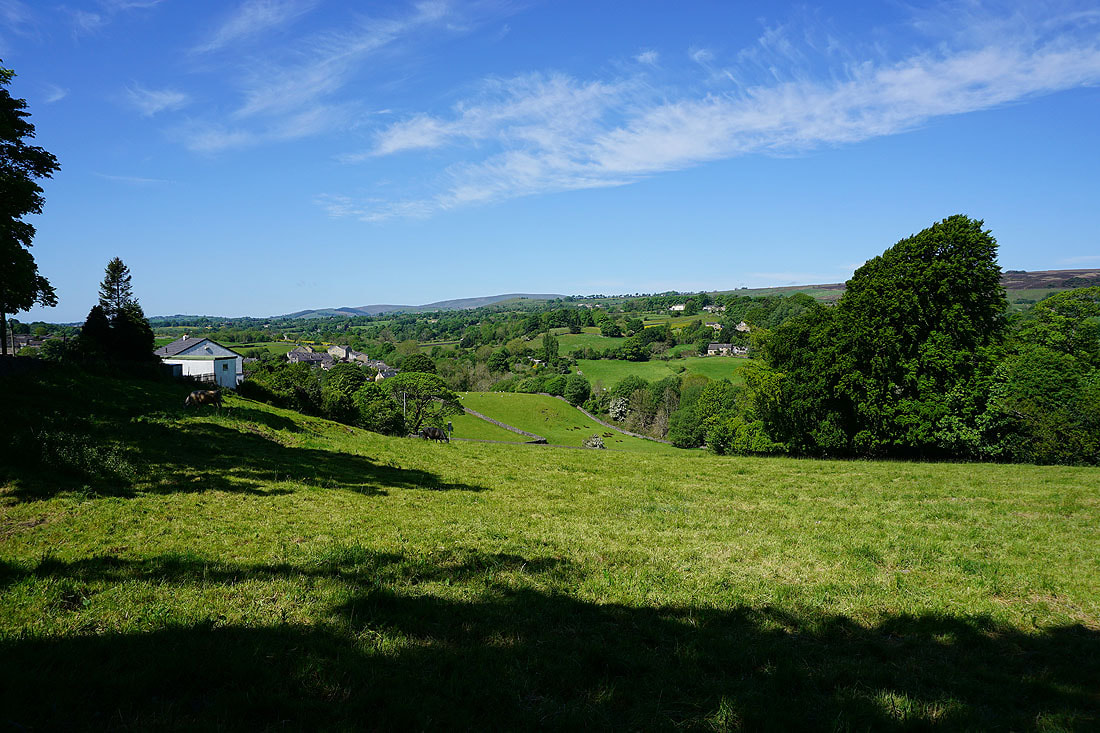
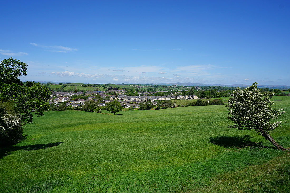
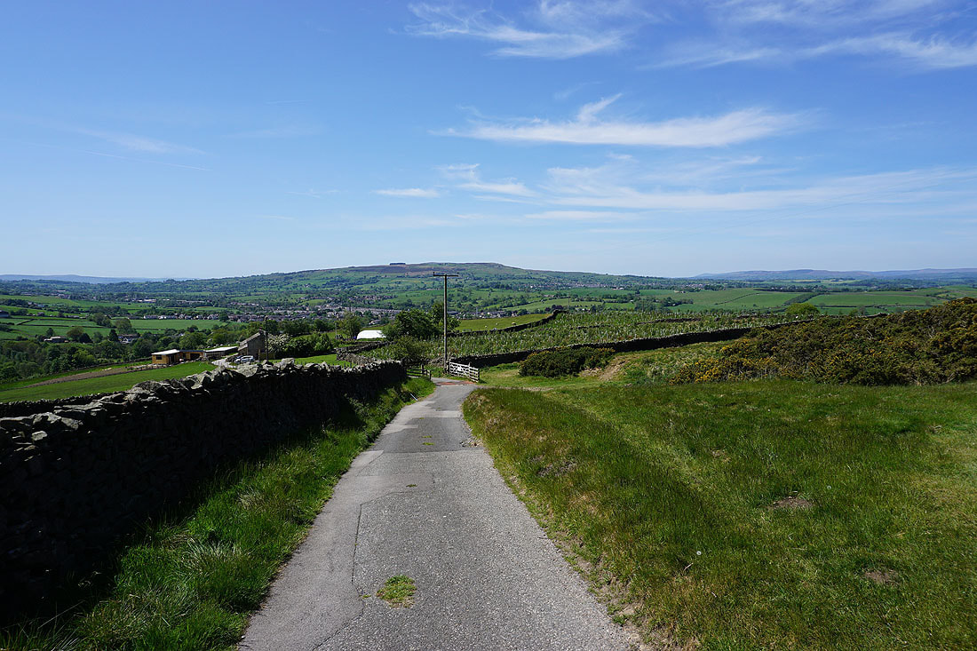
Views across the countryside around Foulridge as I leave by Skipton Old Road and follow it north to Kelbrook..
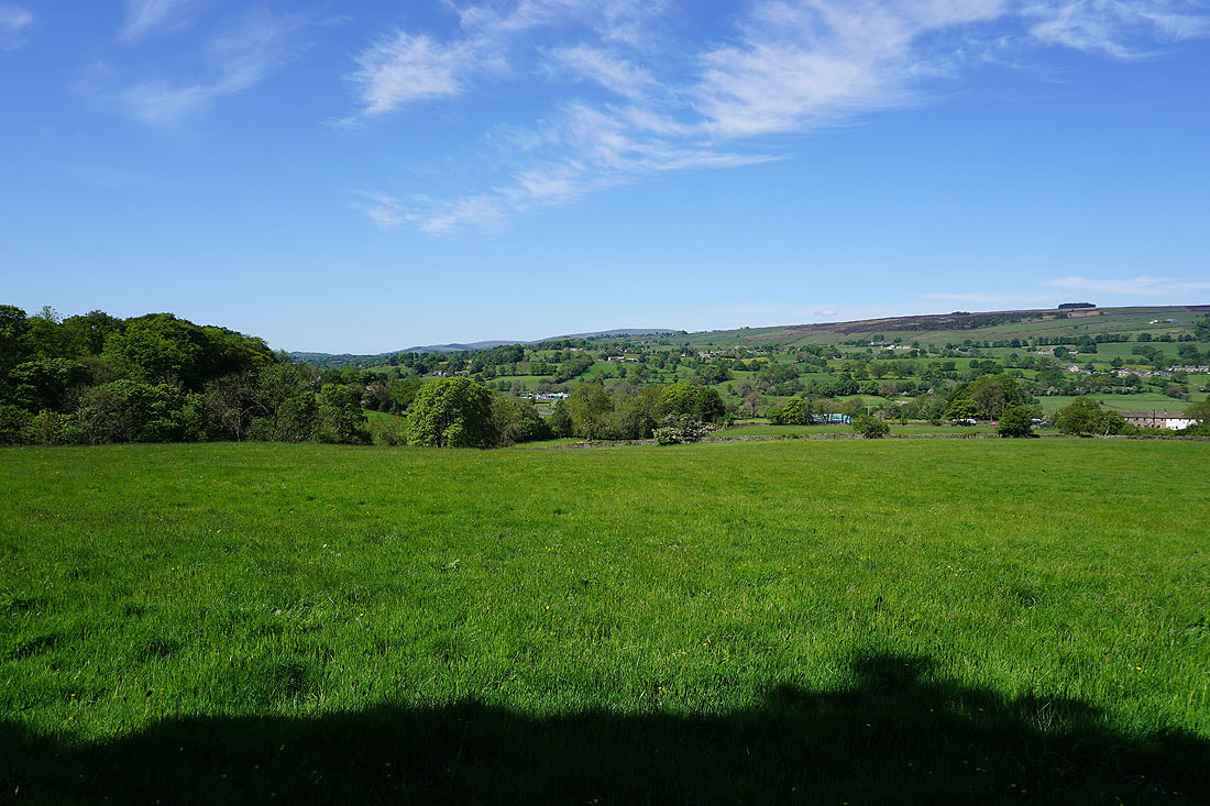
This road is only a short distance above the main road below but I can see all the way across to Ingleborough in the Yorkshire Dales..
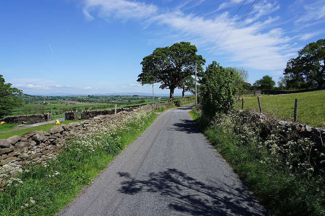
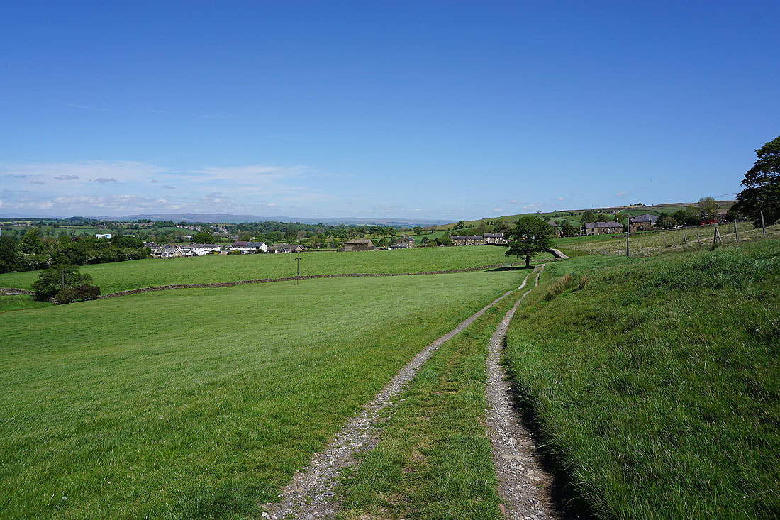
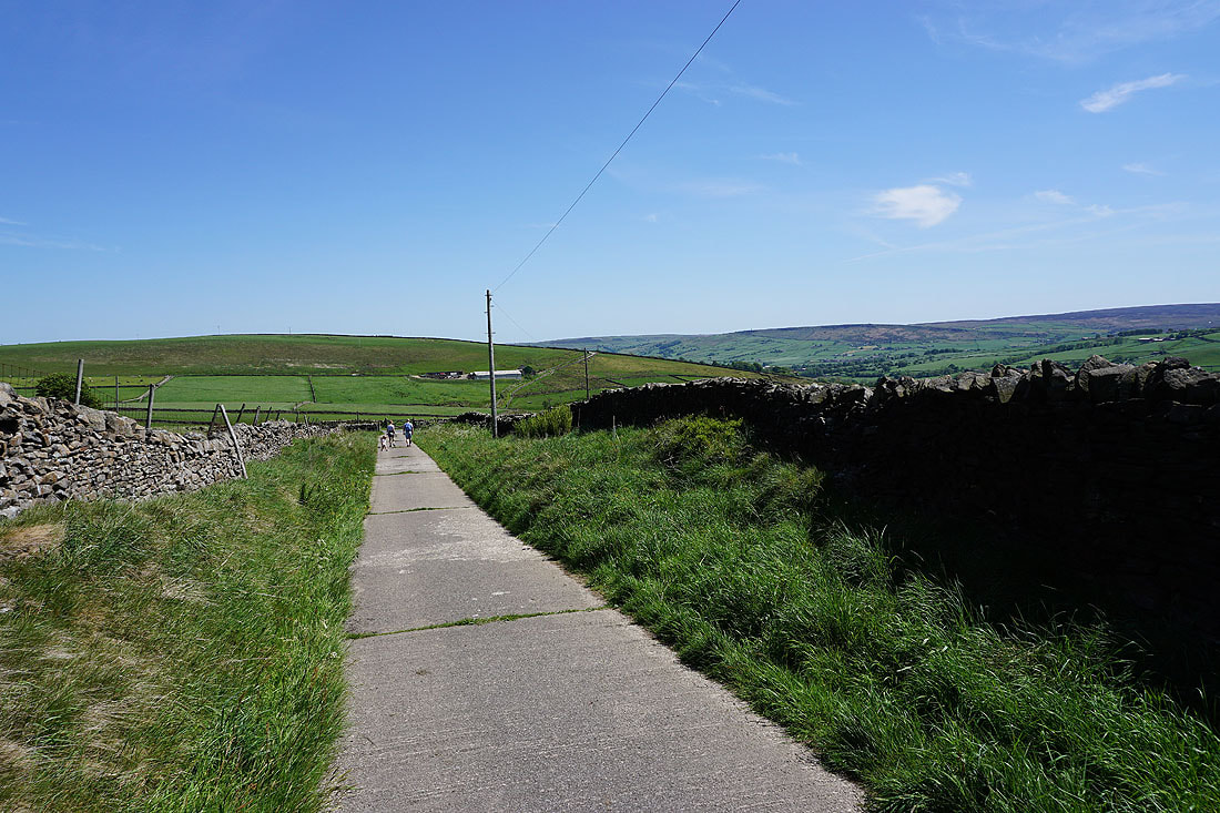
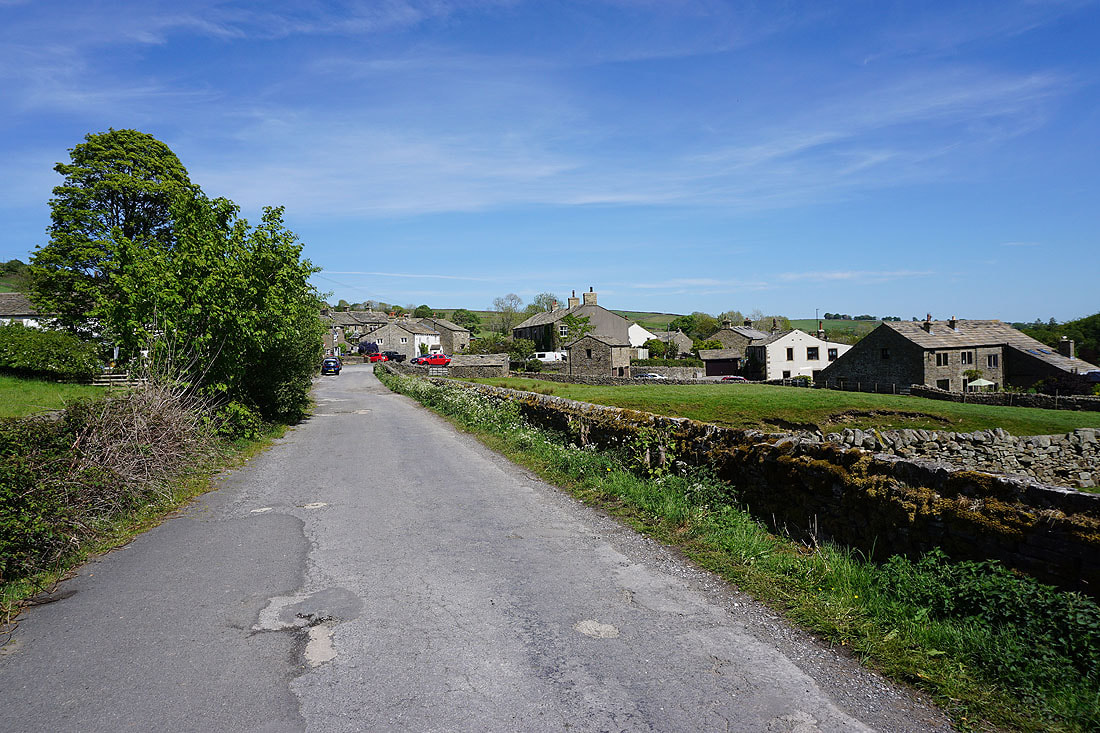
Leaving Kelbrook by Heads Lane
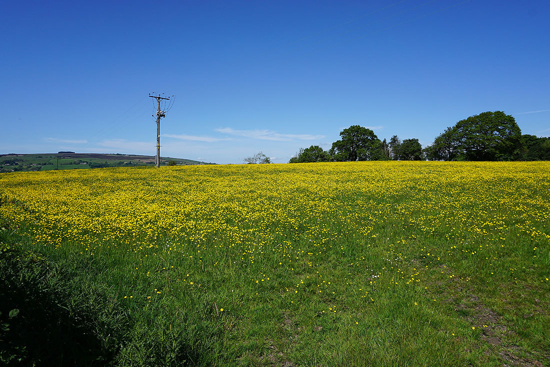
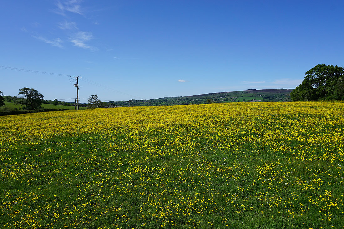
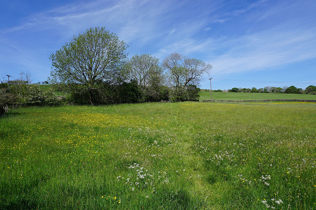
Buttercup filled fields as I leave Heads Lane for the trail of the Pendle Way..
Following the Pendle Way north above Earby. I can make out Ingleborough and the moors above Malham in the distance..
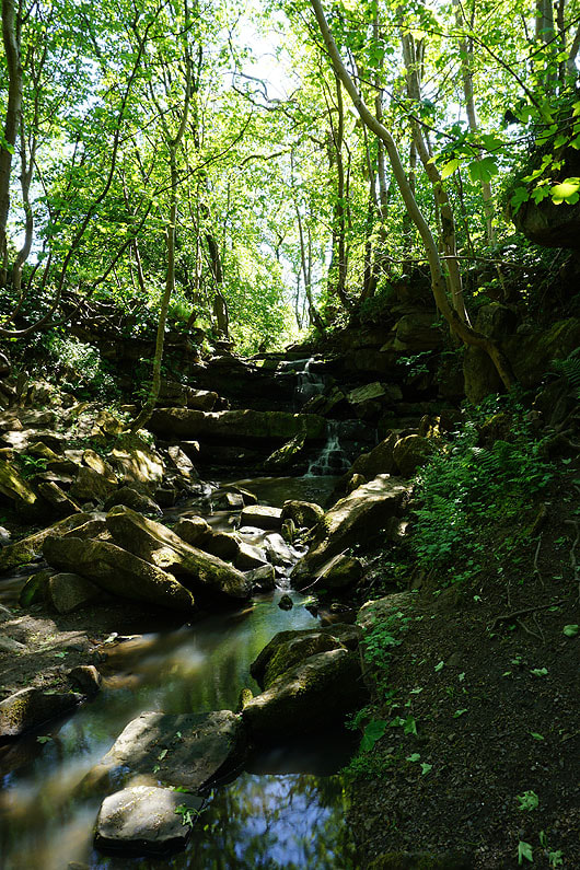
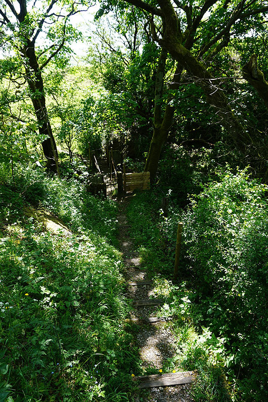
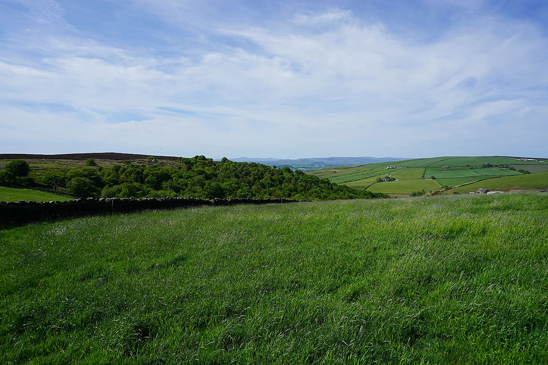
Wentcliff Brook
Heading up Gaylands Lane from Earby
and if I turn around there's Weets Hill in the distance
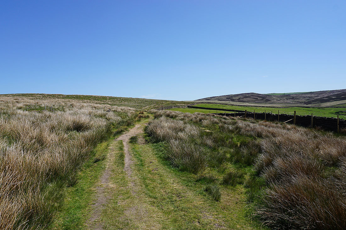
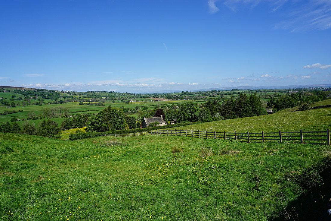
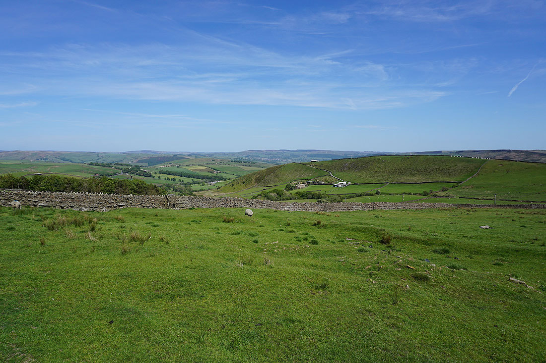
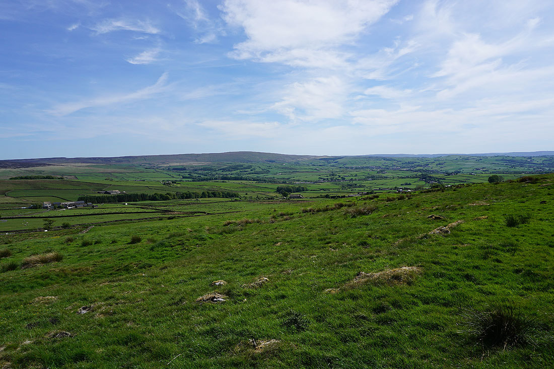
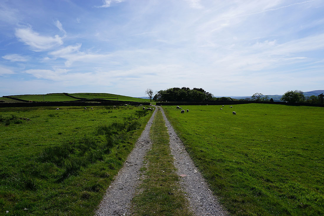
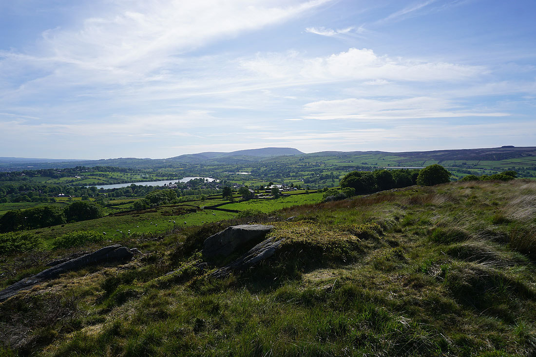
Onto the open moorland of Rectory Allotment
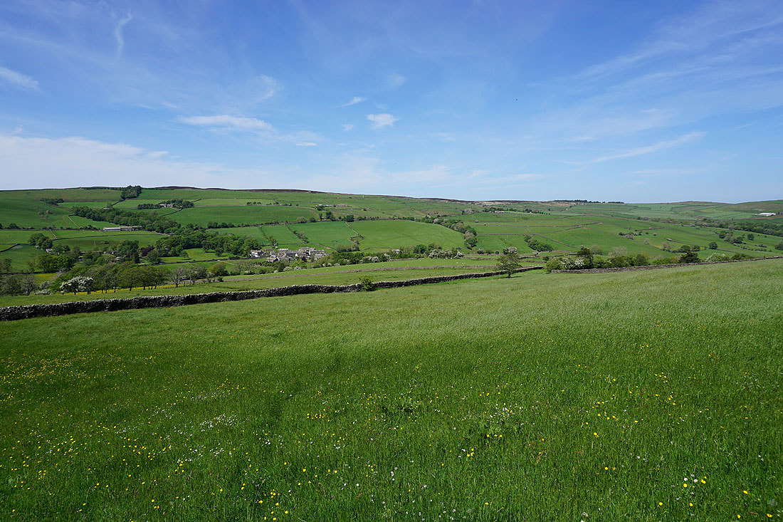
Looking back to Earby and Weets Hill, with the Forest of Bowland in the distance on the right
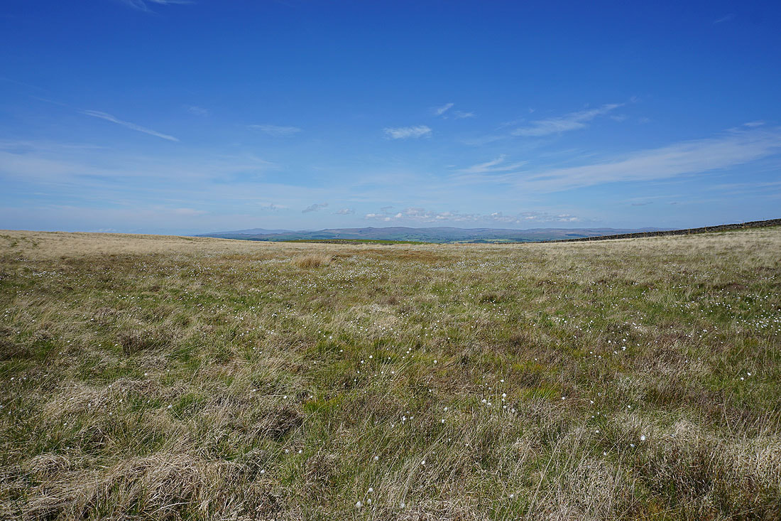
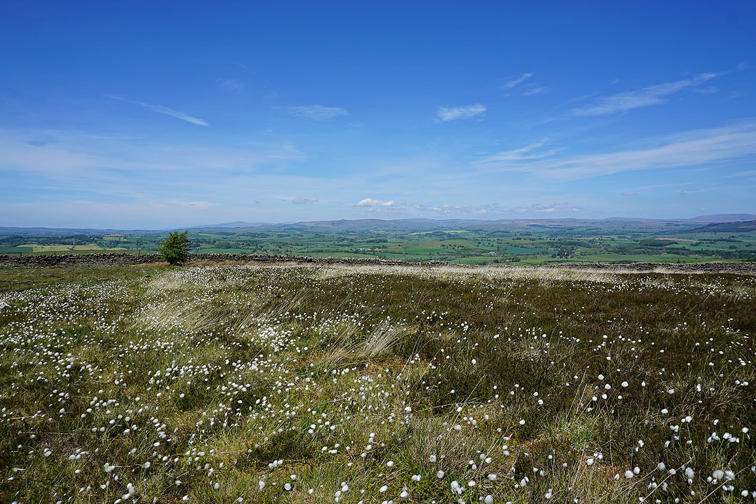
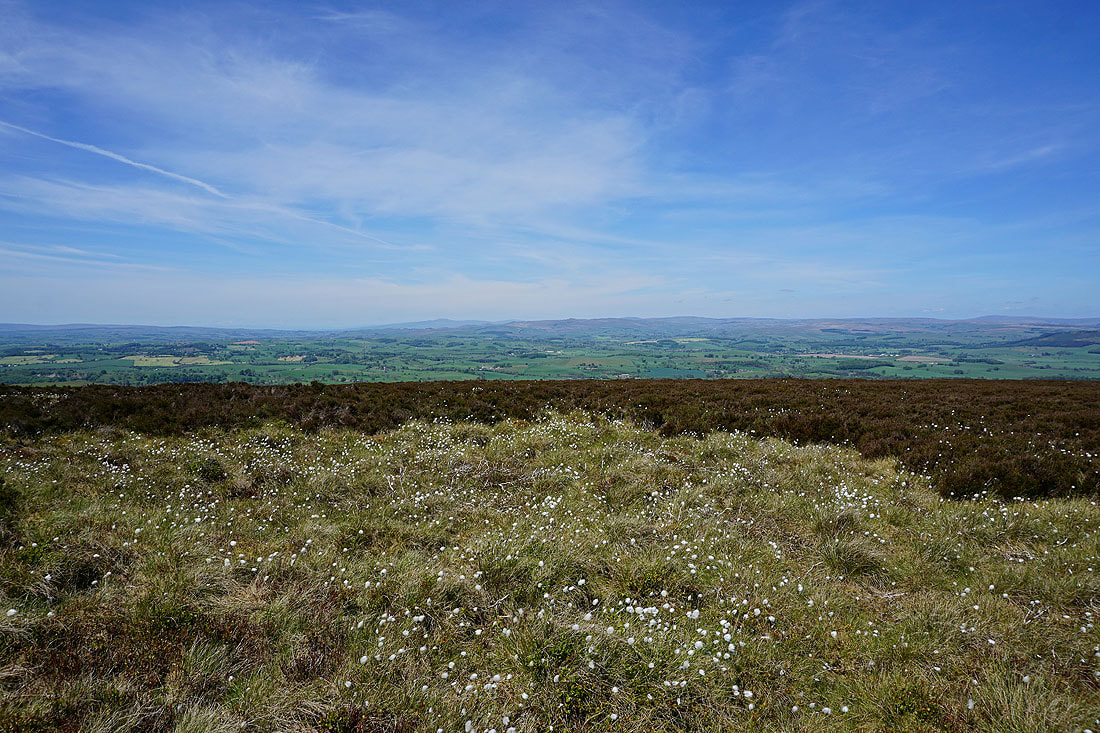
Ingleborough and the moors above Malham across a cotton grass covered moor
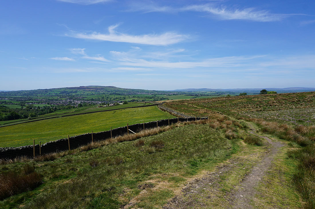
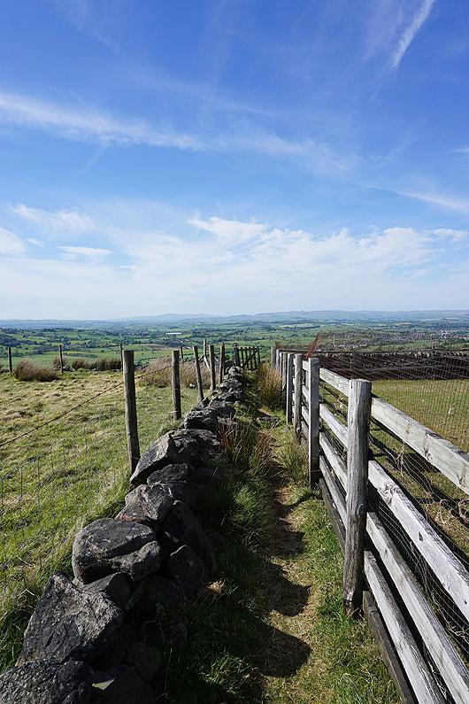
Big views to the Forest of Bowland from the bridleway across Rectory Allotment
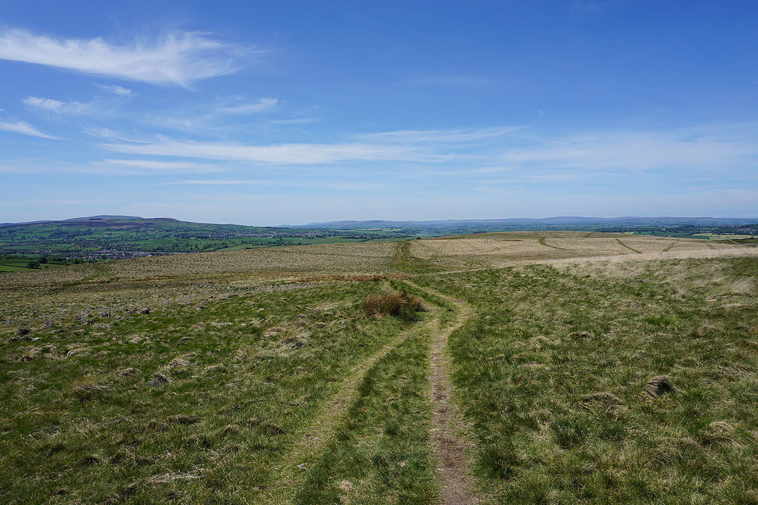
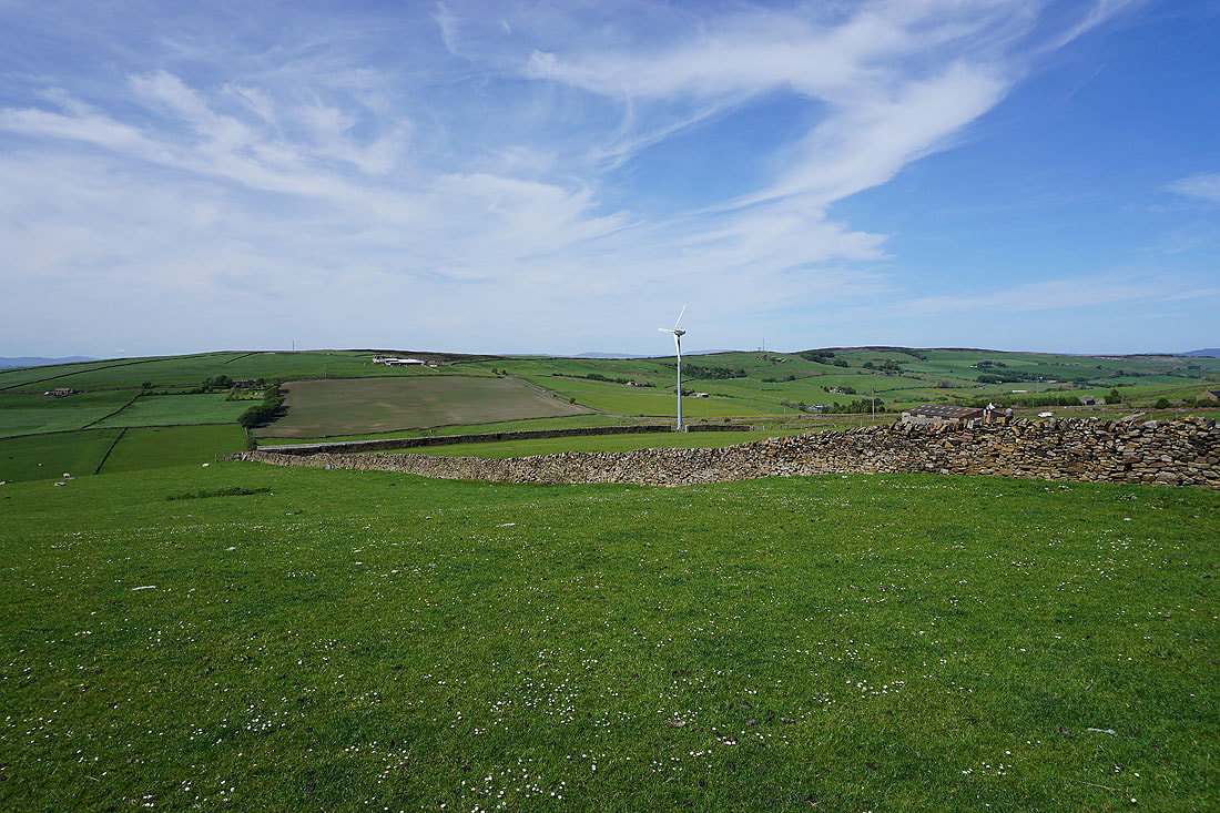
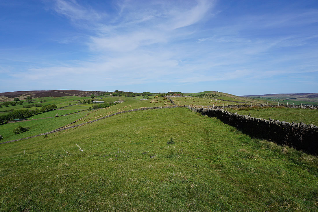
As I reach Clogger Lane I join the trail of the Pennine Way. There's a fantastic display of cotton grass on the moorland next to the road.
Looking back down Clogger Lane
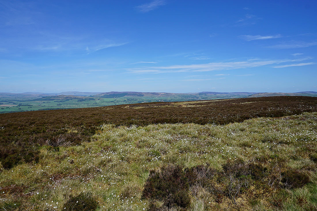
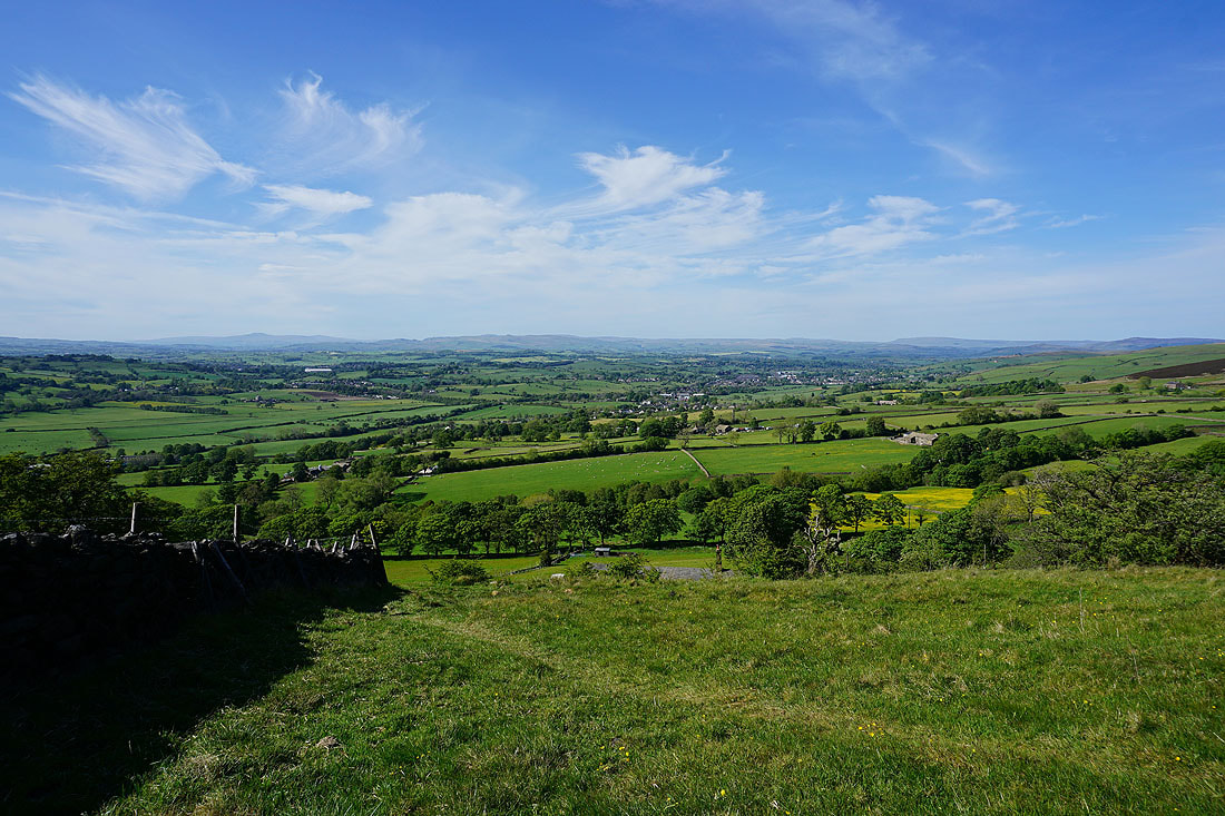
The Forest of Bowland in the distance as I follow the Pennine Way up onto Pinhaw Beacon
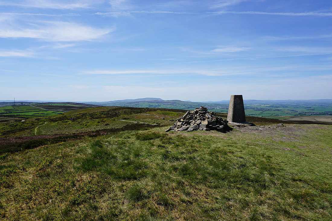
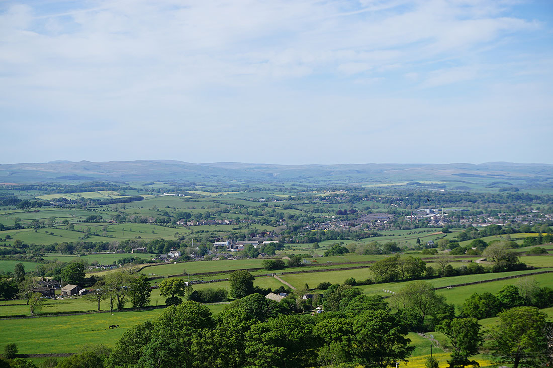
Pinhaw Beacon is a convenient place to stop for lunch, and is blessed with a fantastic view, especially on a day like this. To the north is Ingleborough, Rye Loaf Hill, Fountains Fell and the moorland around Malham.
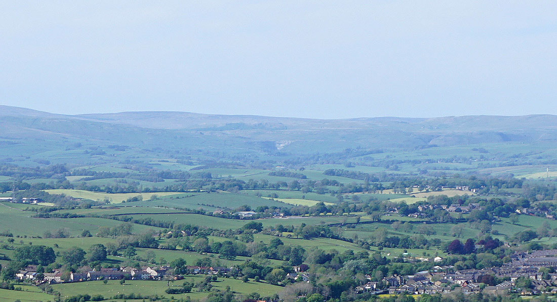
To the northeast are Buckden Pike, Great Whernside, Barden Moor and Barden Fell
Pendle Hill and Weets Hill
Boulsworth Hill in the distance to the southwest above the moorland around the top of Lothersdale
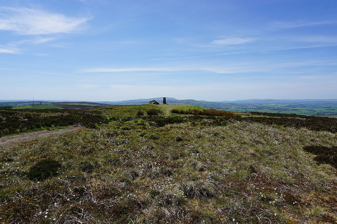
A final shot looking back to the trig point as I resume my journey along the Pennine Way
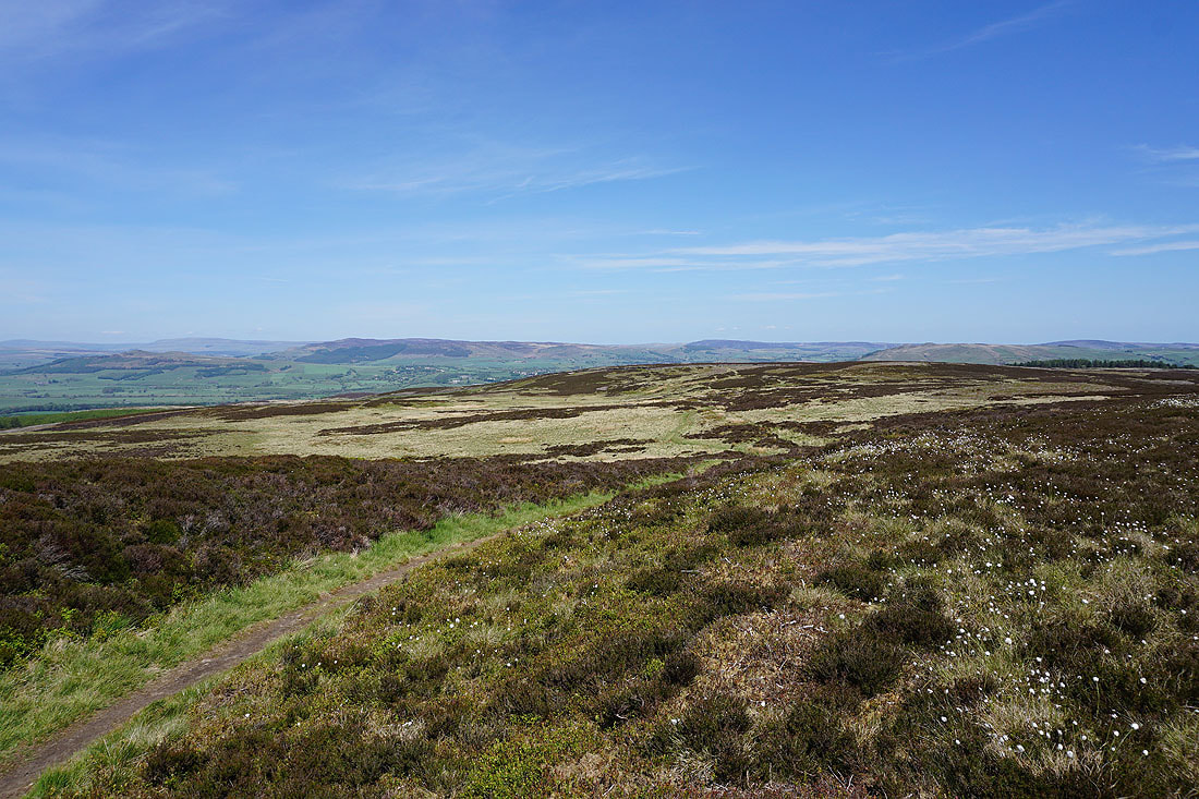
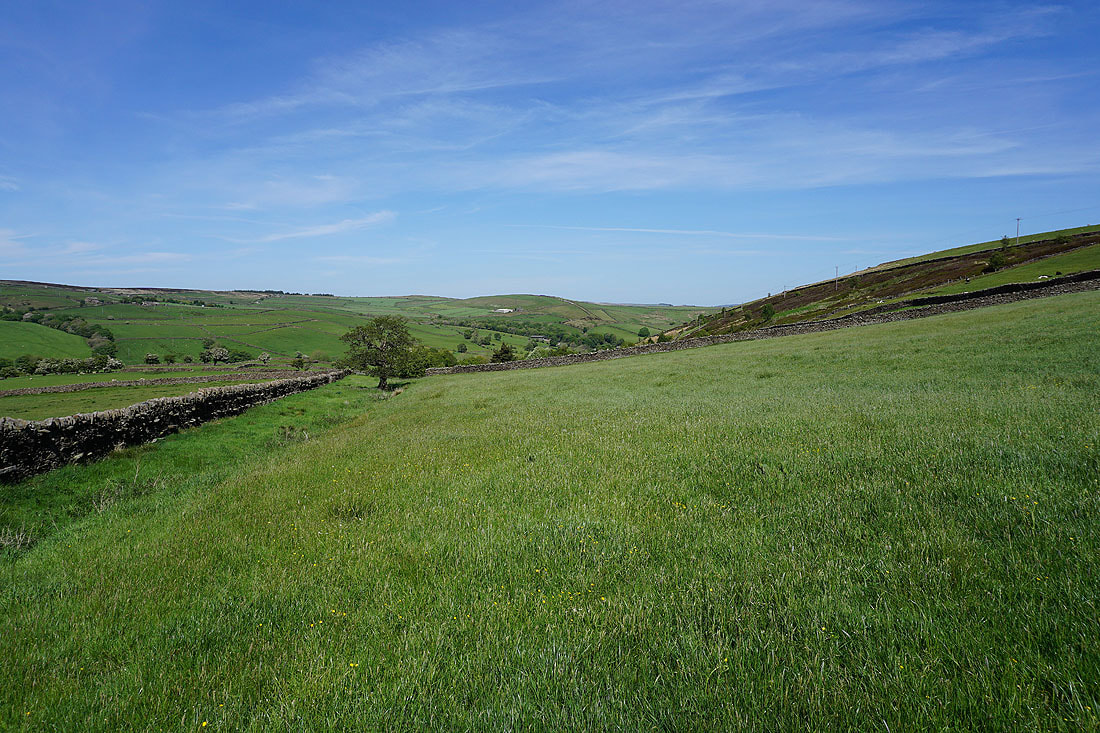
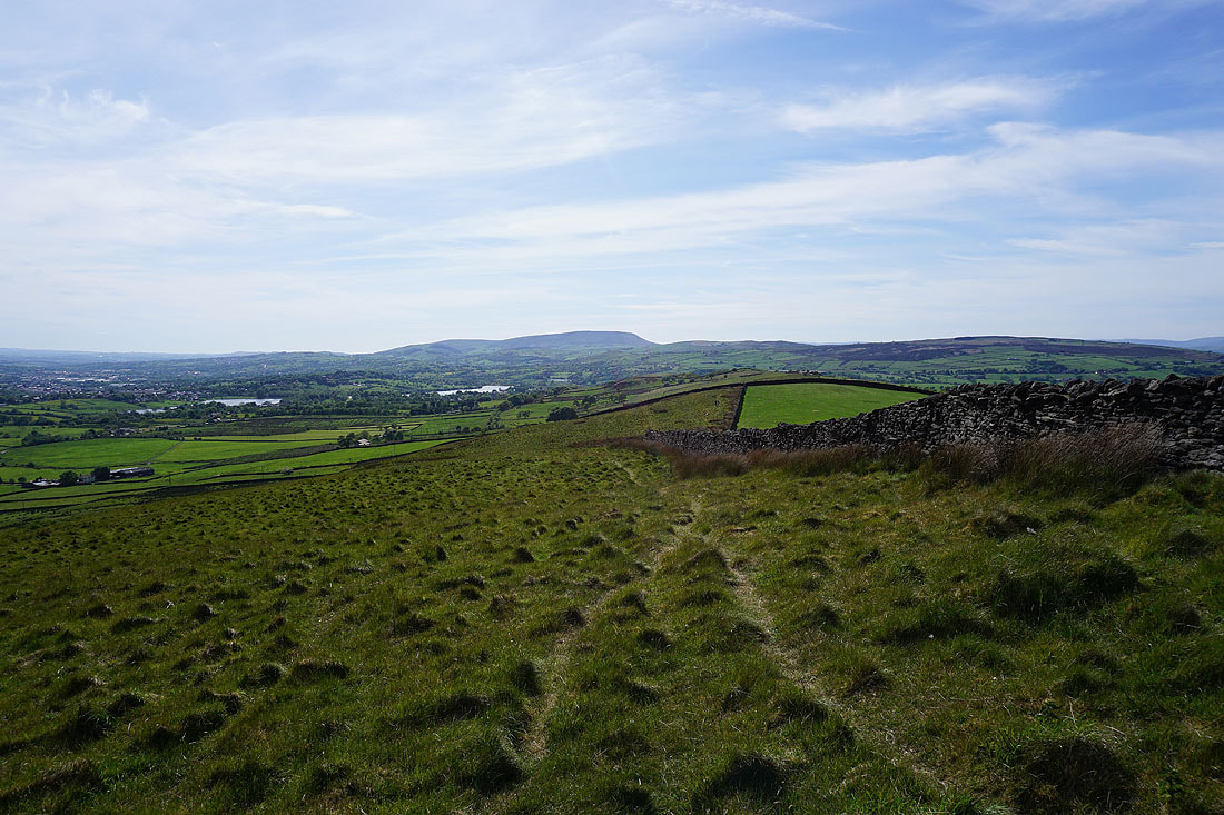
Barden Moor, Barden Fell and Skipton Moor above Carleton Moor
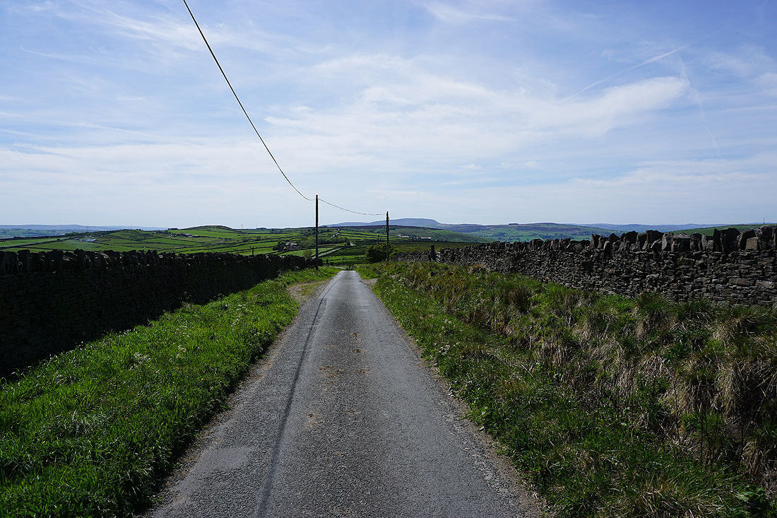
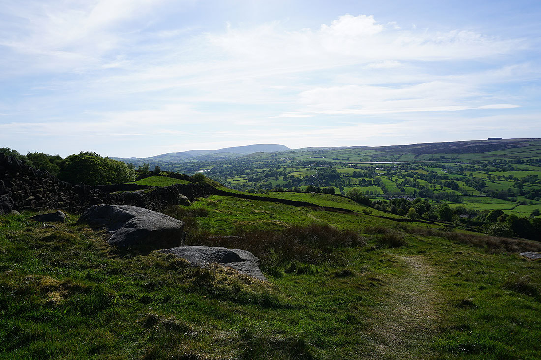
Following the Pennine Way down into Lothersdale...
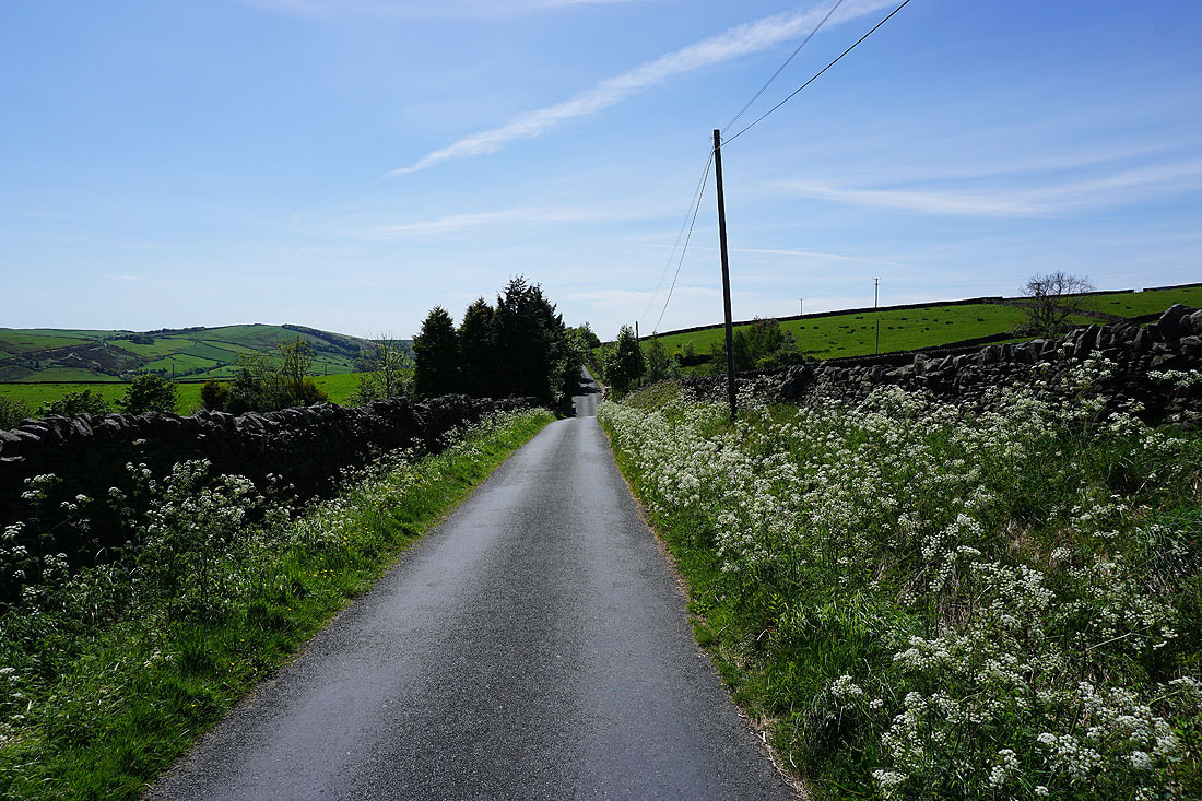
The Pennine Way has been left behind as I walk west along White Hill Lane
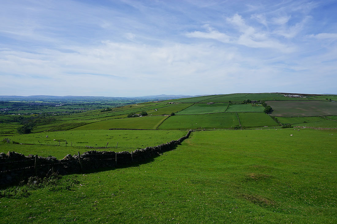
Looking south across Lothersdale to Earl Crag
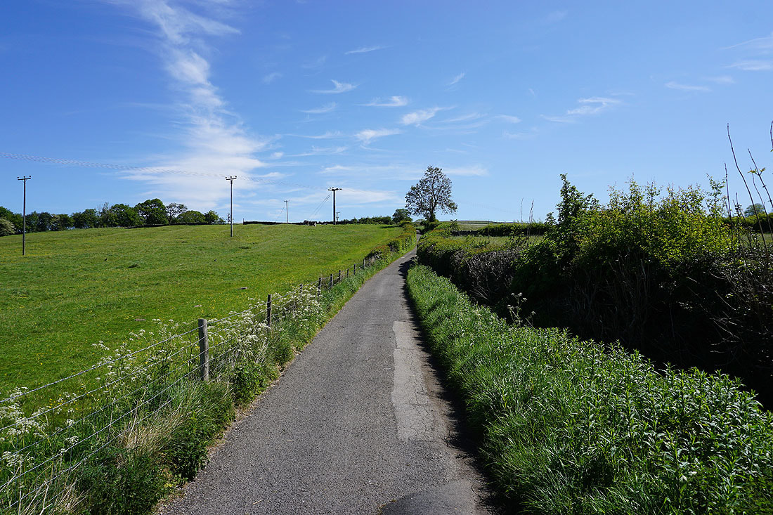
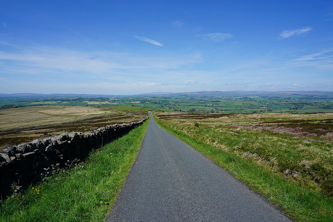
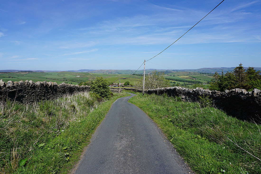
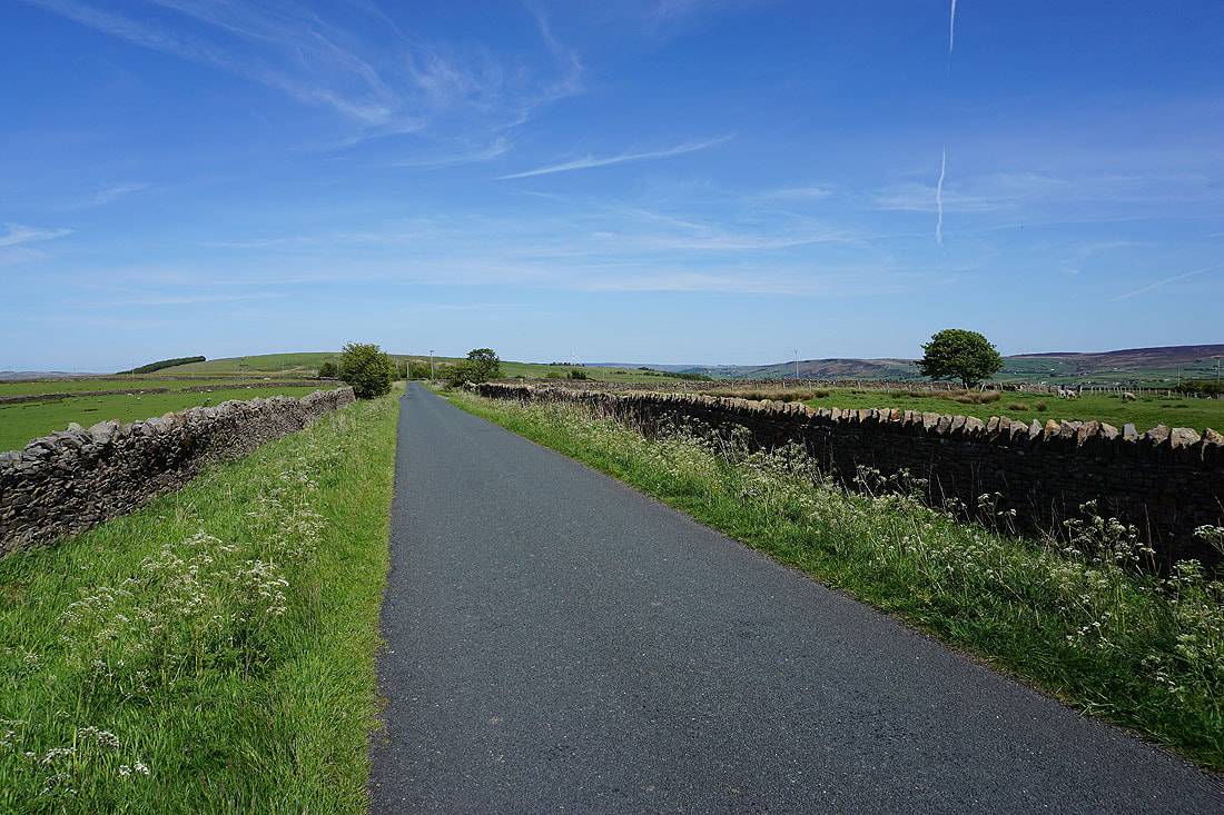
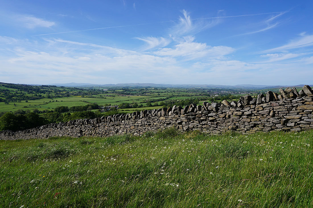
It's a beautiful afternoon for walking along a quiet country lane
I've left White Hill Lane for a path down to a footbridge over Knot Gill
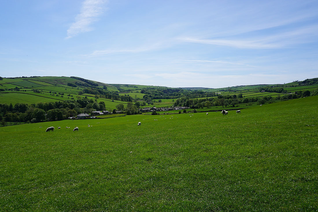
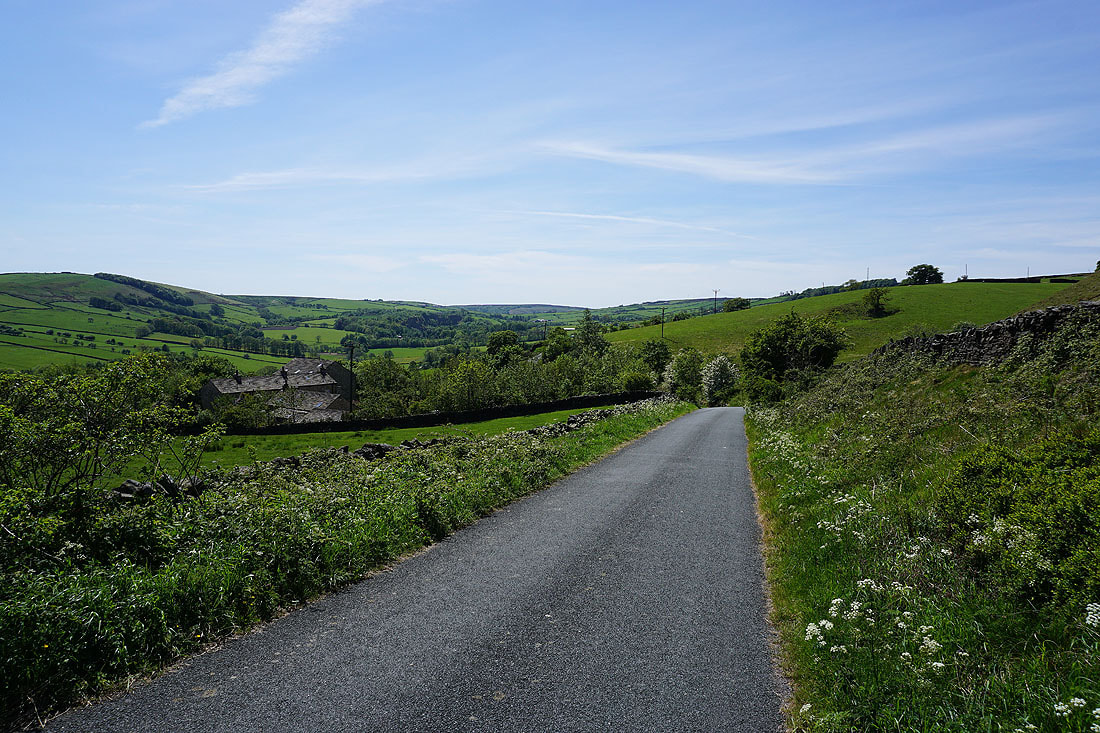
Heading down to the hamlet of The Fold, in Lothersdale
What a glorious afternoon! ..
The Fold, from the track to Raygill
Looking back down to The Fold, from the footpath up to Hawshaw Road
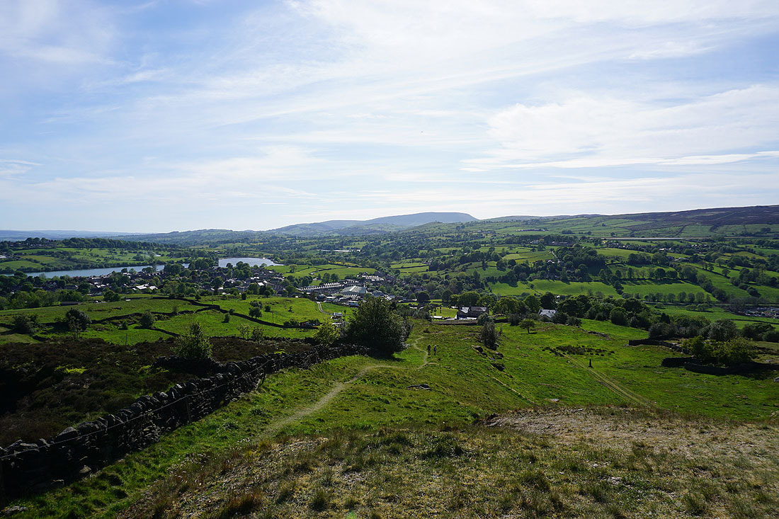
Looking down Lothersdale to Tow Top Moor
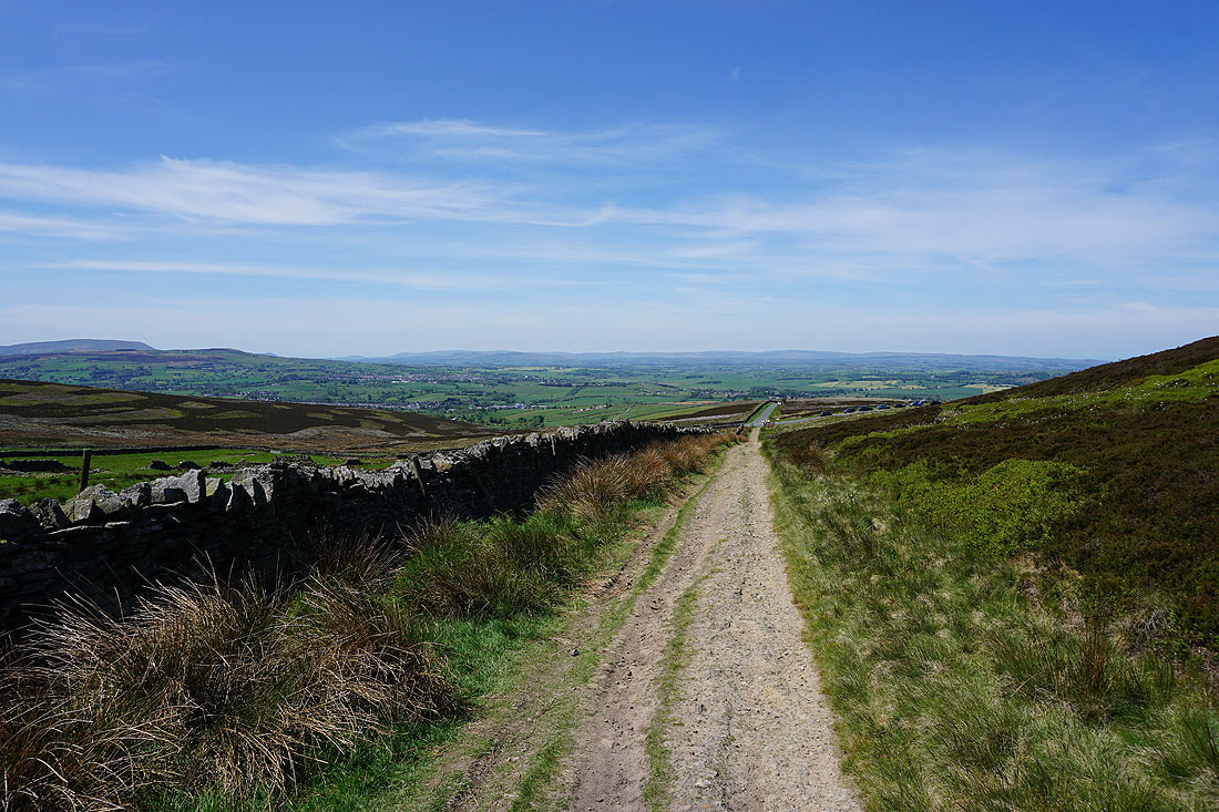
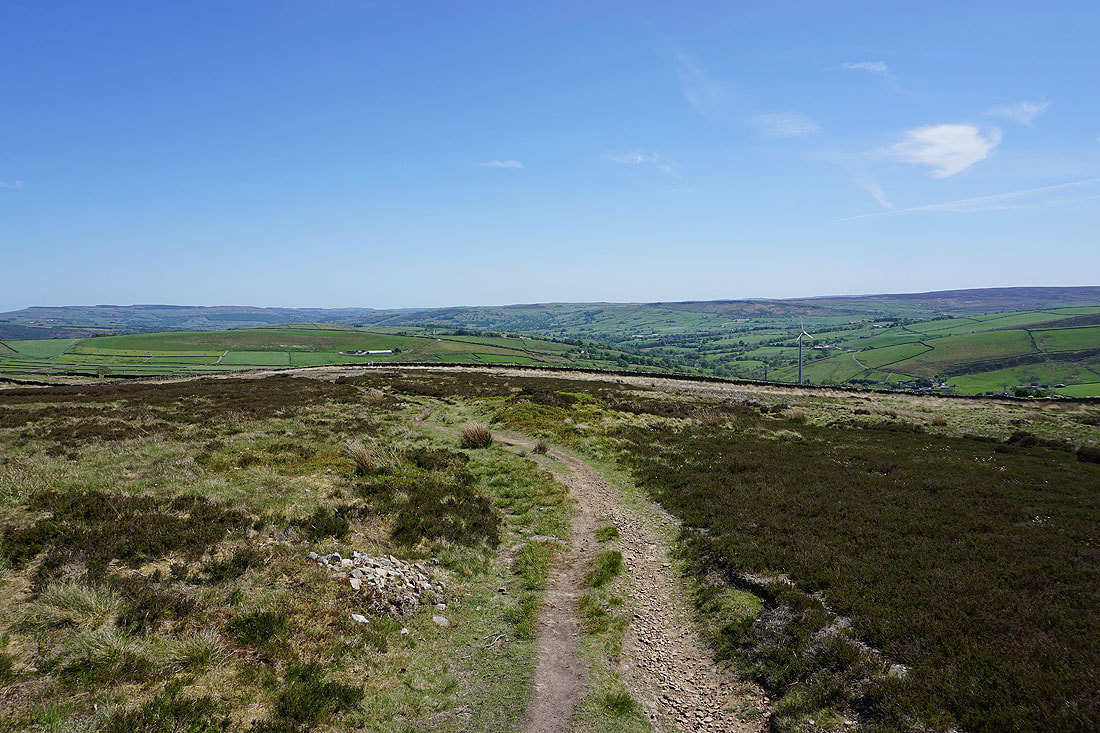
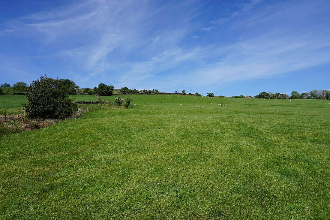
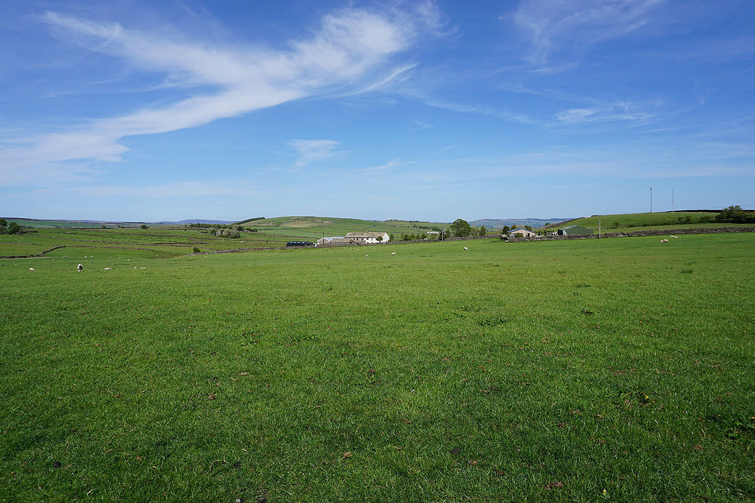
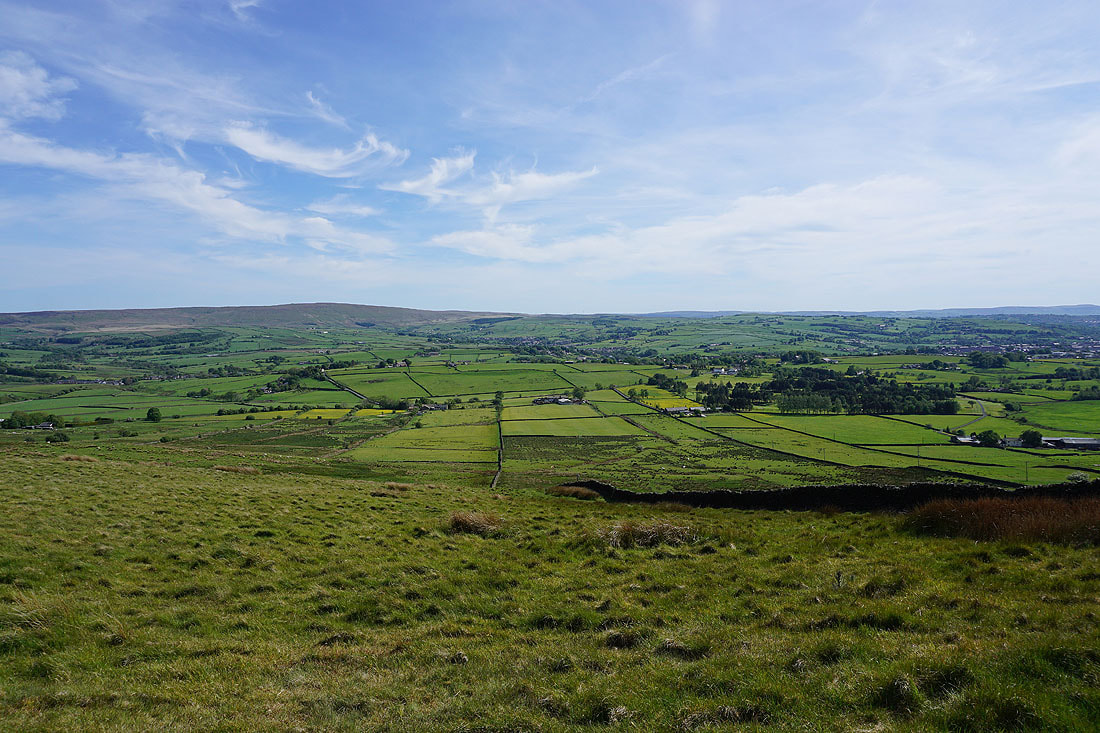
On Hawshaw Road. Looking east to Skipton Moor and the other moors around Airedale.
Beamsley Beacon and Addingham High Moor in the distance beyond the nearby hill of Sweet Brow
A distant Pendle Hill as I walk west along Hawshaw Road

Boulsworth Hill in the distance to the south
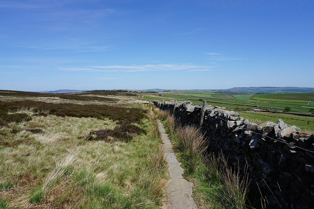
Looking back along Hawshaw Road to Hawshaw Hill with Earl Crag in the distance on the right
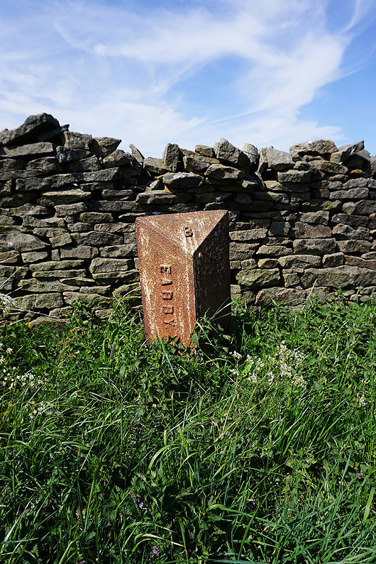
A boundary stone next to the road
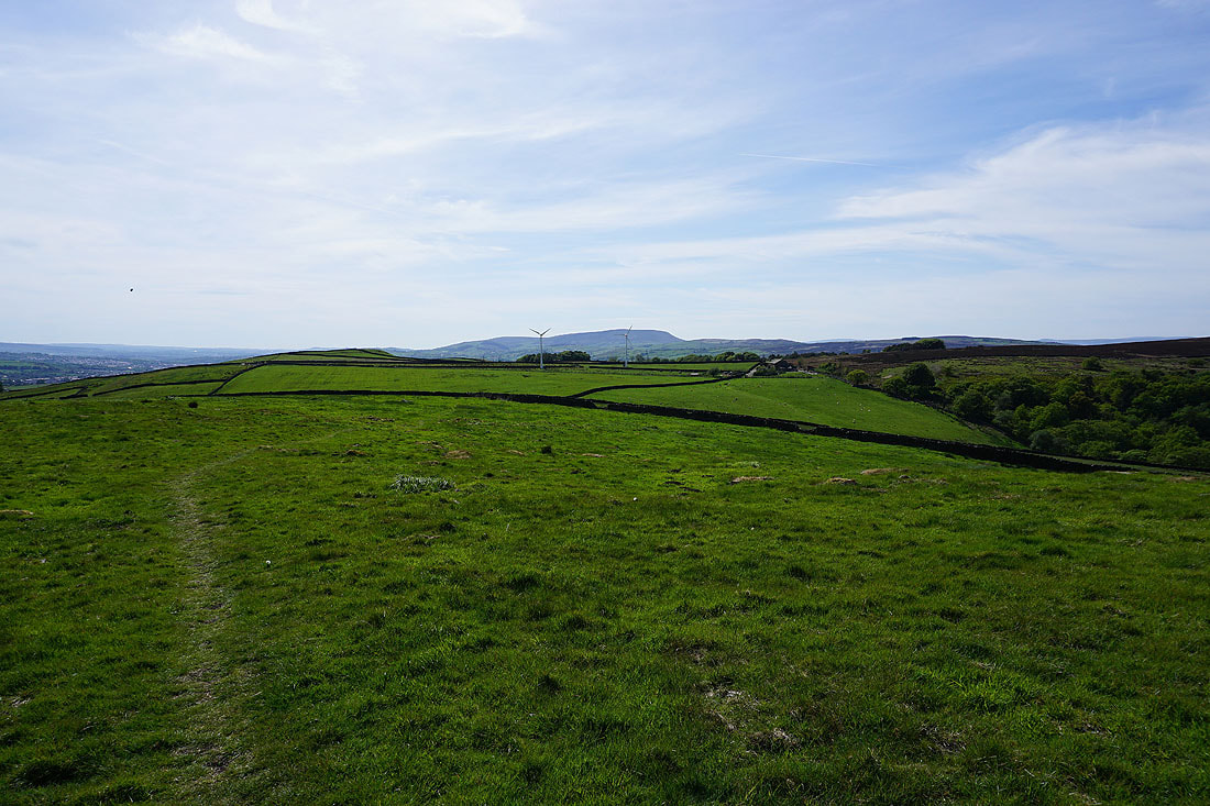
Bleara Moor, Thornton Moor and Pinhaw Beacon from Burnt Hill
Ingleborough appears in the distance around the side of Bleara Moor
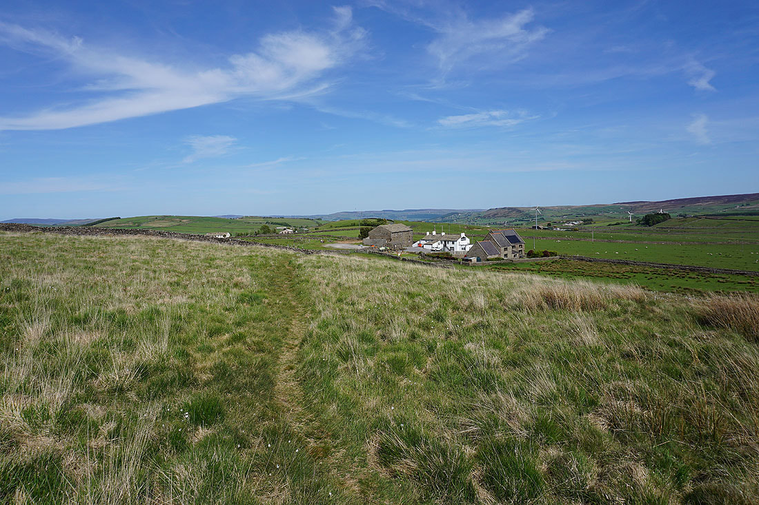
Hawshaw Hill from Skipton Old Road at Black Lane Ends
The Black Lane Ends Tavern below from the path onto Piked Edge
Boulsworth Hill in the distance as I head up onto Piked Edge
Piked Edge may be a very modest hill but it has a fantastic view of Ingleborough and the moors above Settle through the gap between Kelbrook Moor and Bleara Moor
Pendle Hill to the west
Another photo of that view
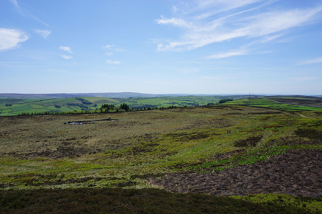
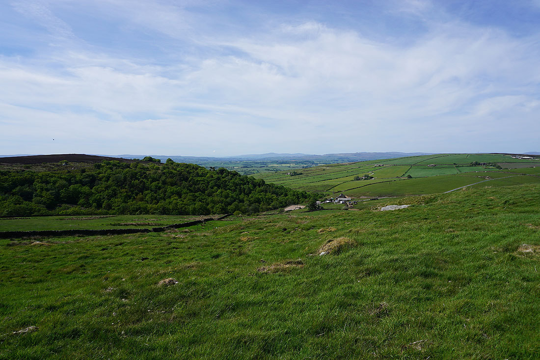
On the path from Harwes Farm to Great Edge
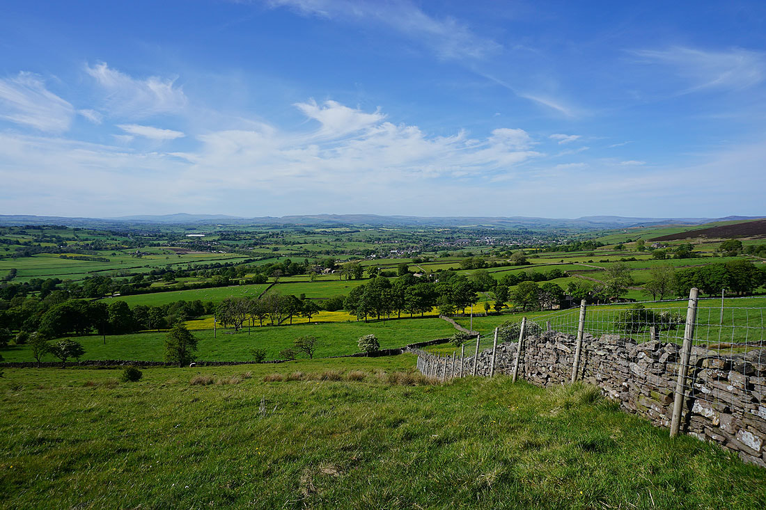
On Great Edge. Foulridge Upper Reservoir and Lower Reservoir, Pendle Hill, Twiston Moor and White Moor.
Boulsworth Hill and the Forest of Trawden

A distant Ingleborough from a cotton grass covered moor
Heading down Great Edge to Cob Lane
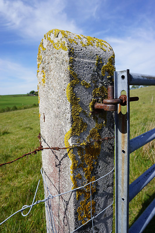
The contrasting colours of the lichen on this gatepost caught my eye
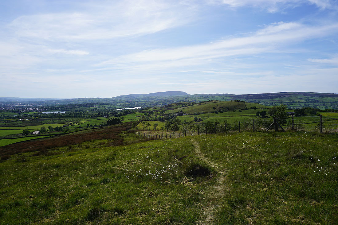
Boulsworth Hill as I head up onto Noyna Hill
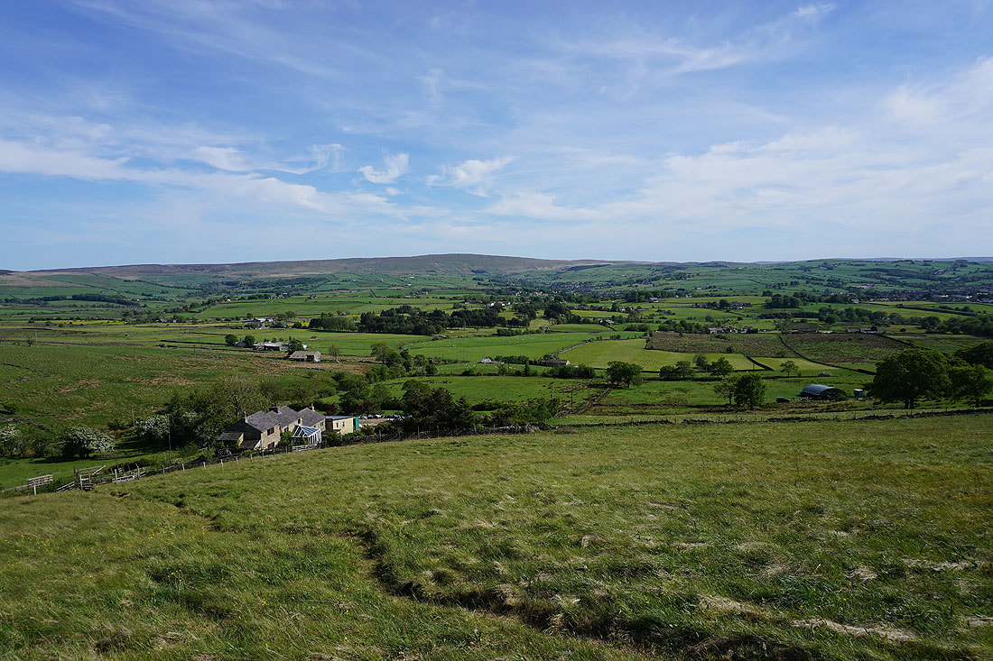
As I cross the top of Noyna Hill a fantastic view to the north is revealed
Ingleborough on the left, the moors above Settle and Malham, and Great Whernside on the right
Kelbrook Moor and Great Edge
Another shot of that view
It's a long way away, but with the visibility good enough and the sun shining on part of it, I could make out Malham Cove..
Foulridge Lower Reservoir, Slipper Hill Reservoir and Pendle Hill
Heading west down Noyna Hill
I couldn't resist taking another photo of the view to the north. I'll soon lose it..
..as I make my final descent to Foulridge and home