25th November 2014 - Pendle Hill
Walk Details
Distance walked: 5.9 miles
Total ascent: 1218 ft
OS map used: OL21 - South Pennines
Time taken: 3 hrs
Route description: Barley-Lower Ogden Reservoir-Upper Ogden Reservoir-Ogden Clough-Pendle Hill-Pendle Way-Barley
After my aborted attempt on Pendle Hill last week I'm glad it wasn't long before I was able to have another go. Fine weather was forecast for the part of the day that mattered so I set off on the short drive to Barley.
From the picnic site I crossed the road and followed the access road to the Lower and Upper Ogden Reservoirs. I then continued on a path up Ogden Clough, first on the north side then the west as it went uphill. The bed of the clough eventually rises to meet the path and I crossed the brook to pass through a gate and onto a concessionary path that heads straight up to the trig point and summit. My route of return was to simply follow the Pendle Way back to Barley.
Route map
© Crown copyright. All rights reserved. License number PU 100034184.
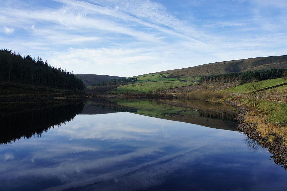
A calm and peaceful scene at Lower Ogden Reservoir
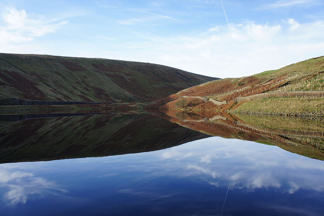
and it's the same at Upper Ogden Reservoir
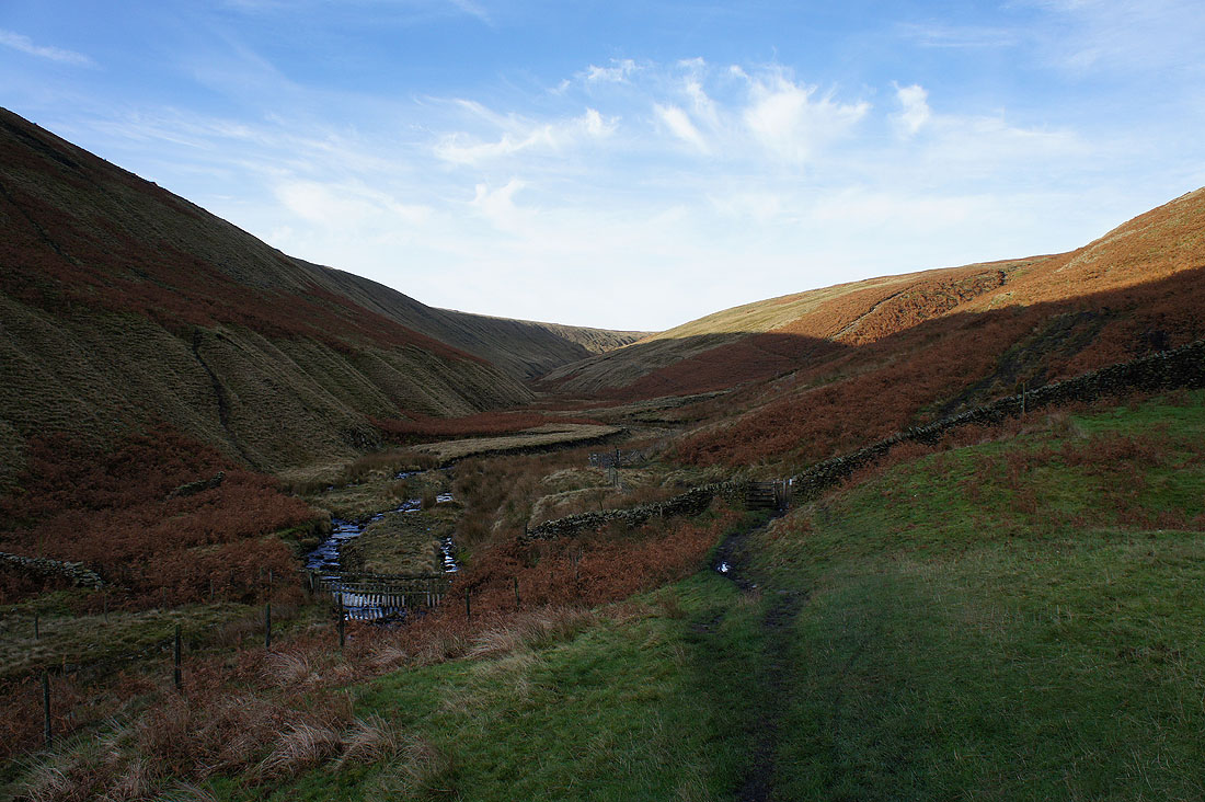
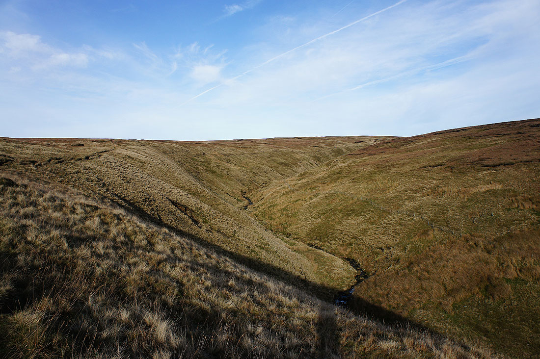
Ogden Clough stretches ahead. The path keeps on this side for now.
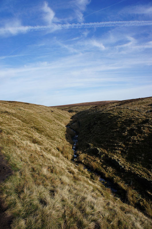
Nice to be back in the sunshine and the path switches to the other side of the clough
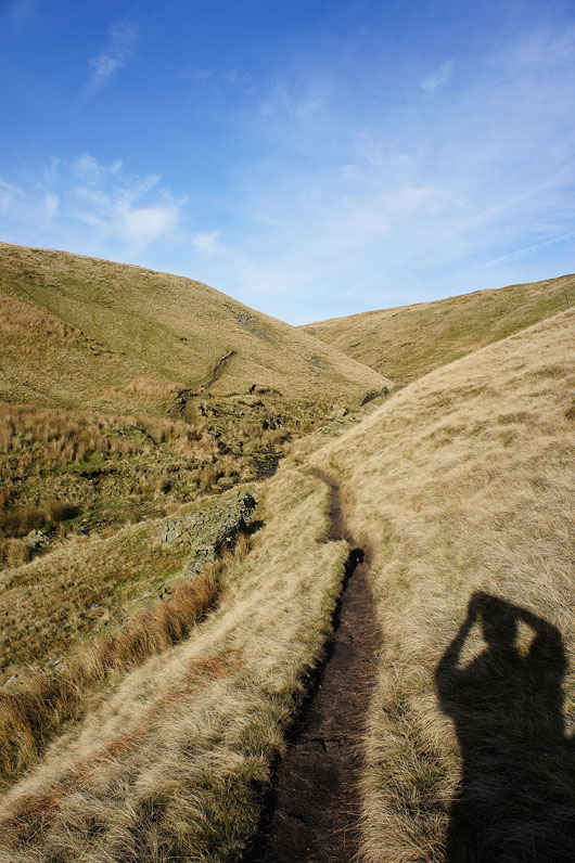
Following Ogden Clough..
|
|
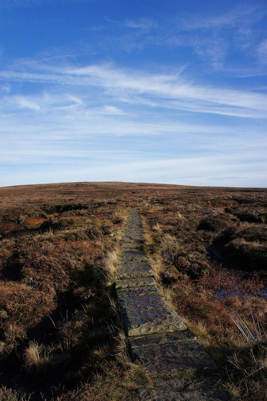
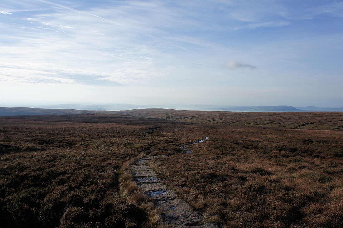
Across the brook and on the concessionary path that heads straight up to the trig point
Looking back towards a mist filled Ribble valley
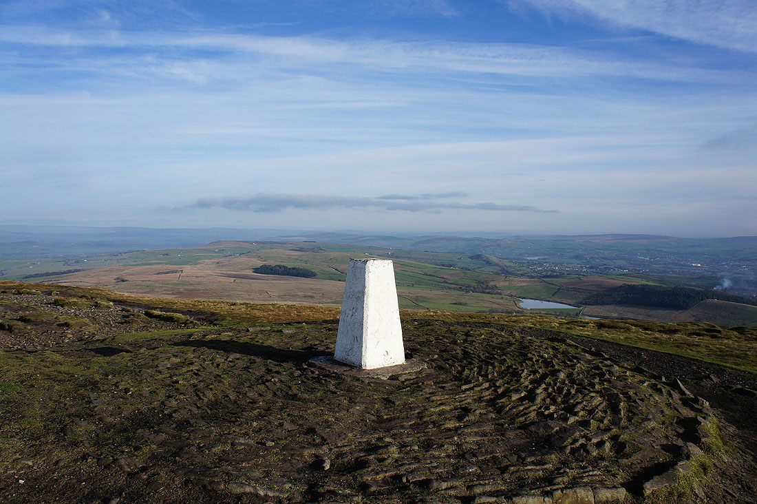
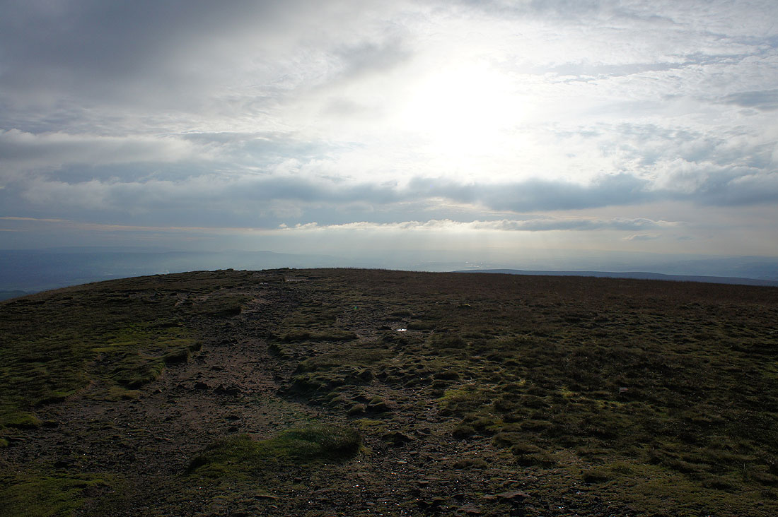
On the summit of Pendle Hill. It's a lovely afternoon to be up here.
The fells of the Forest of Bowland in the distance
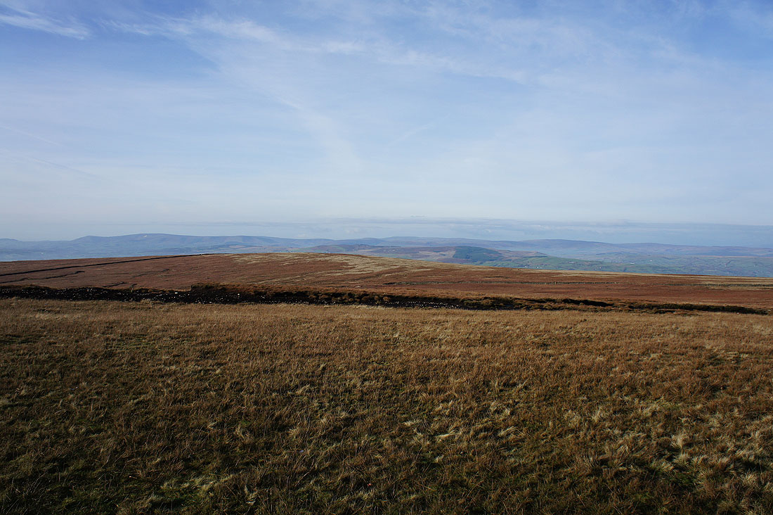
There's some mist and low cloud looking towards the Yorkshire Dales but I could make out Penyghent
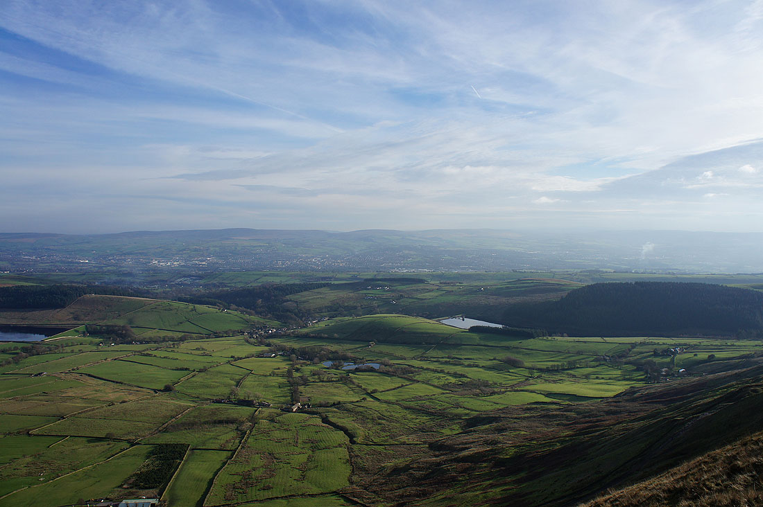
The Black Moss Reservoirs
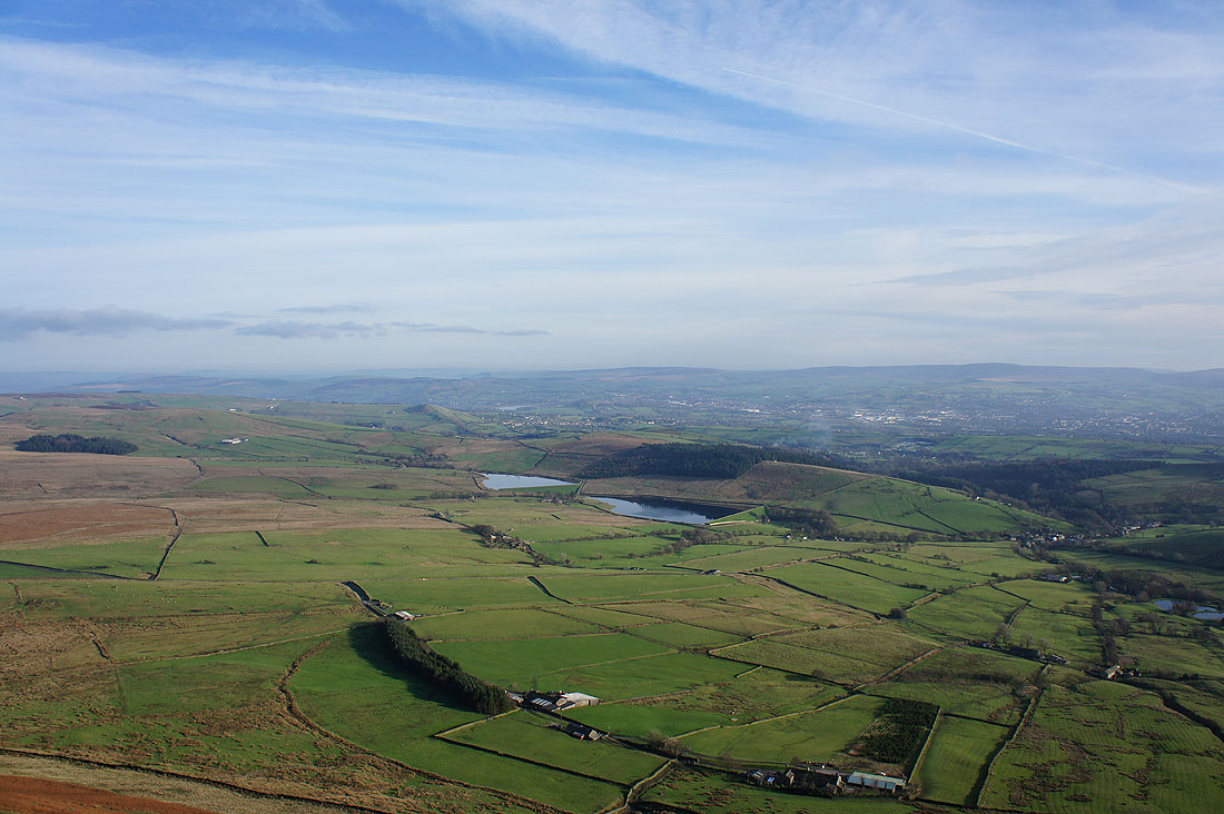
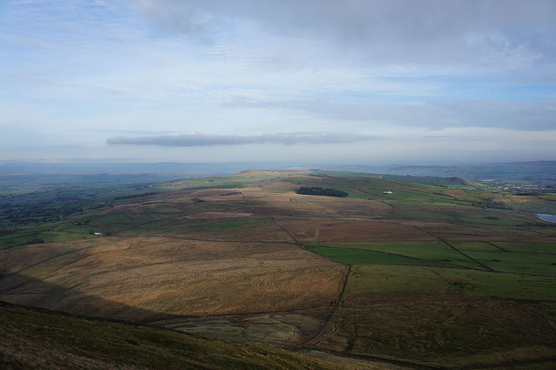
Barley and Lower Ogden Reservoir below with Boulsworth Hill and the South Pennines in the distance
The skies are clouding over from the south
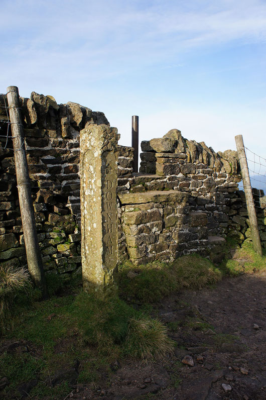
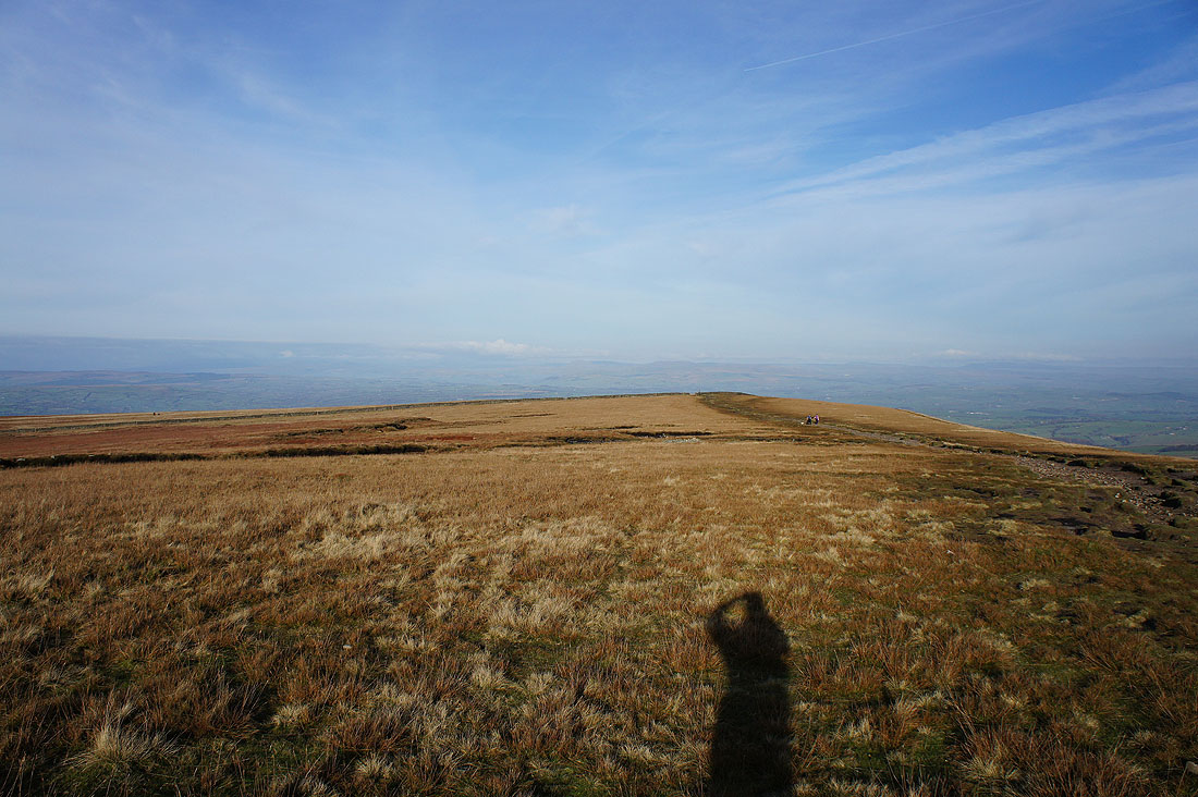
I'm about to take the Pendle Way down to Barley but if you wanted to you could follow the path to Downham
A bit of sunshine on Weets Hill
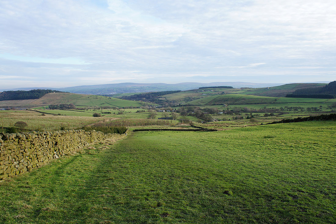
Heading back to Barley
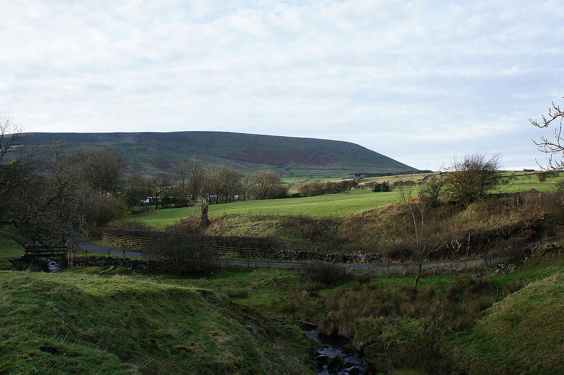
A last chance to look back at Pendle Hill