25th November 2023 - Great Coum and Gragareth
Walk Details
Distance walked: 9.1 miles
Total ascent: 1446 ft
OS map used: Yorkshire Dales, Southern & Western areas
Time taken: 6 hrs
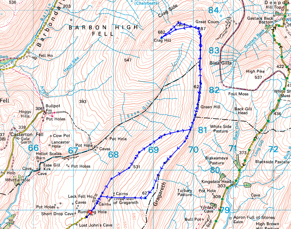
Route description: Leck Fell House-Green Hill-Great Coum-Crag Hill-The Crag-Great Coum-Green Hill-Gragareth-Three Men of Gragareth-Leck Fell House
I decided to head for the western fells of the Yorkshire Dales for my walk this weekend to do a route that visits the high ground above Ease Gill; Crag Hill, Great Coum, and Gragareth. It's a shorter version of one that I tried for the first time back in April, the days are obviously too short for the full version, and makes use of the track from the end of the road at Leck Fell House up onto the moor between Gragareth and Green Hill. I found it to be a good alternative way of getting up onto this moorland, especially as the track provides a clear way ahead across what would otherwise be pathless and boggy ground. I enjoyed a beautiful late autumn day for this walk with more or less wall-to-wall blue skies and sunshine, although that did turn hazy as high cloud spread in from the west as sunset approached. Although it was cold and frosty there was hardly a breath of wind, and excellent visibility meant fantastic views.
After parking my car in a layby on the road to Leck Fell House, I walked up this road to its end at Leck Fell House. At the end of the road I went through a gate onto access land and followed a track north across the open moor to a shooting hut, then from there a path took me up to the moorland ridge south of Green Hill. I then made my way north across the top of Green Hill, up to Great Coum, and across to the trig point on Crag Hill, where I stopped for lunch. After this break I made my way to the cairn on the top of The Crag, back up to Great Coum, then walked south down the moorland ridge over Green Hill and to the trig point on Gragareth. Once I'd taken in the view I made my way down the western slopes of Gragareth to the cairns of the Three Men of Gragareth, then down to the track above Leck Fell House that I was on in the morning. From here I retraced my steps back to where I'd parked my car.
Route map
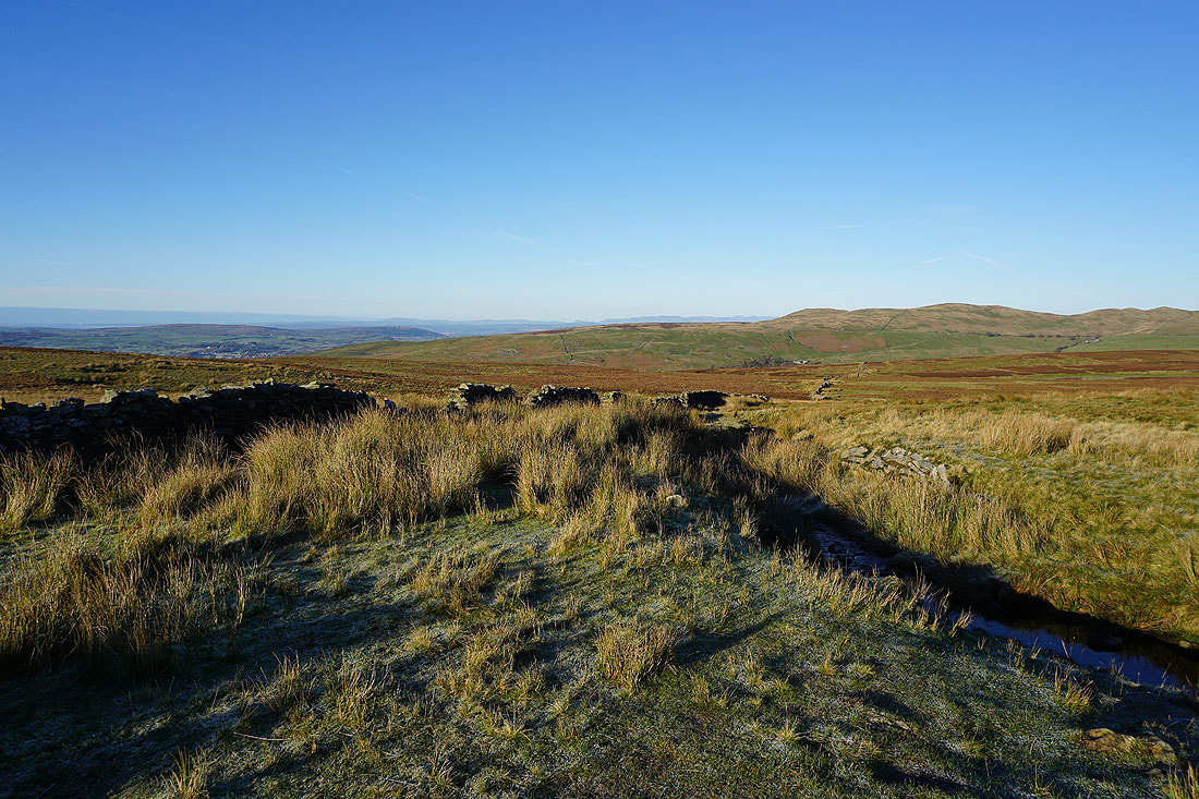
A great view from the roadside where I've parked my car across Leck Fell to Brownthwaite Pike
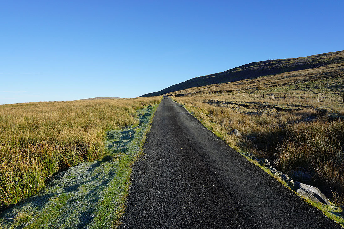
Walking up to the end of the road at Leck Fell House
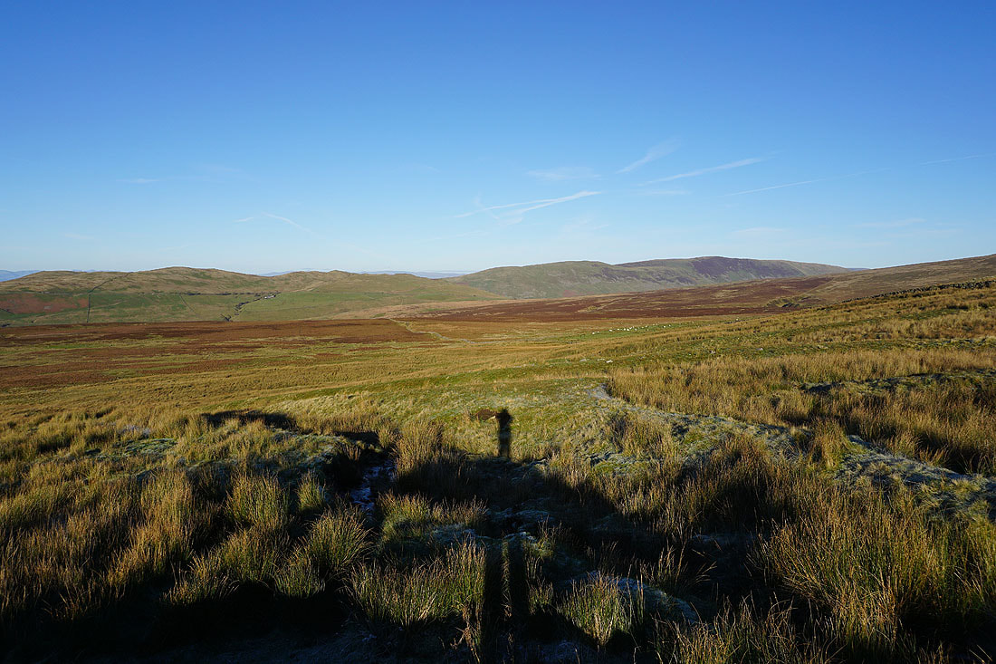
To my left, looking across Casterton Fell to Barbon Low Fell and Middleton Fell
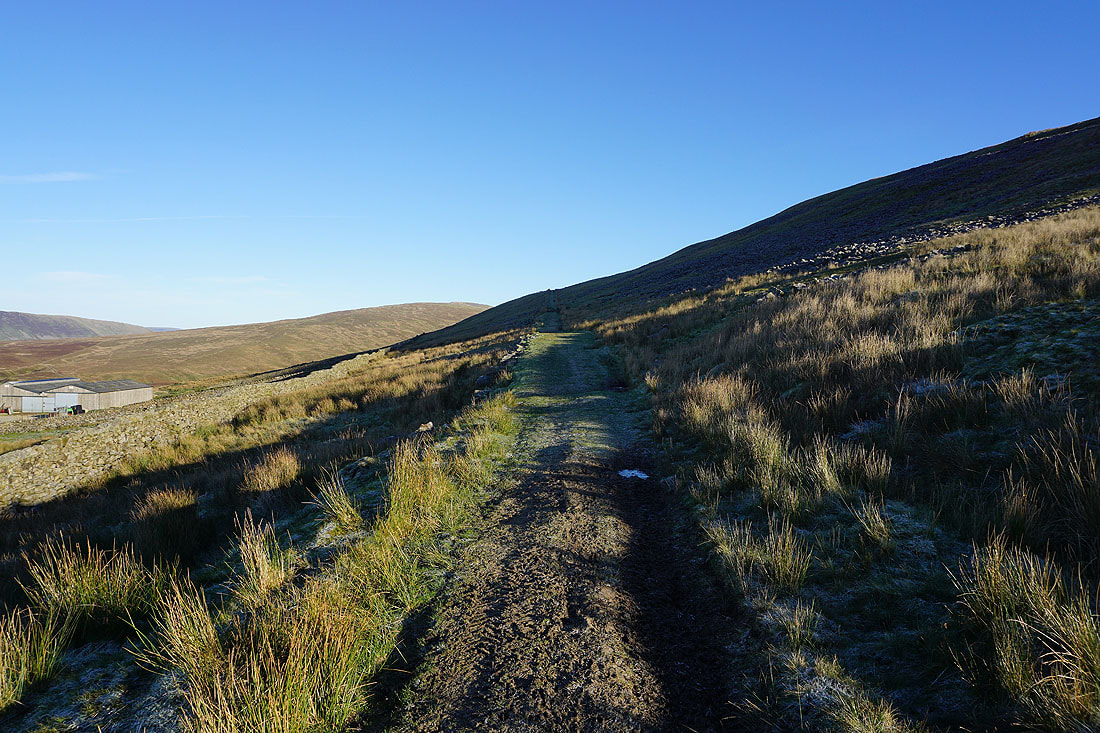
From the end of the road at Leck Fell House I take a track up onto the open moor
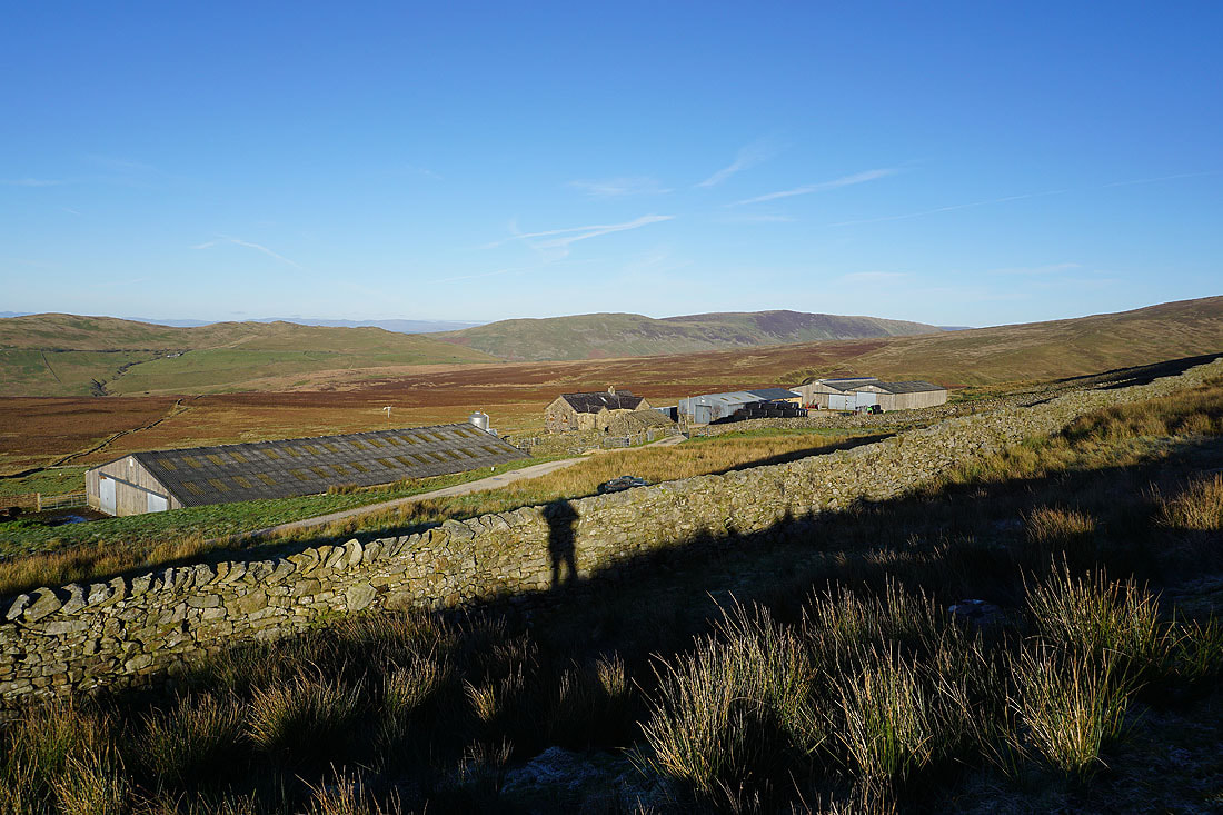
Leck Fell House
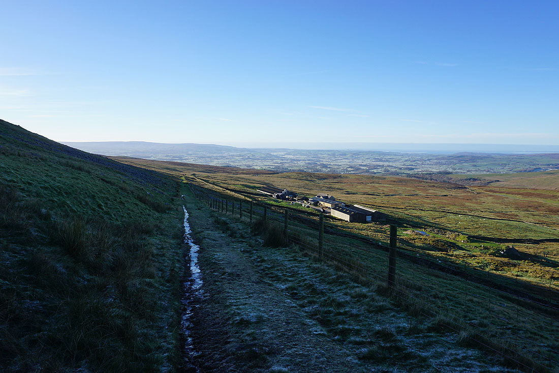
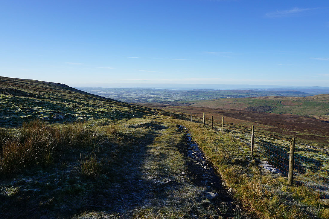
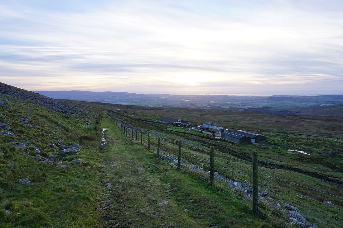
Looking back down the track from above Leck Fell House
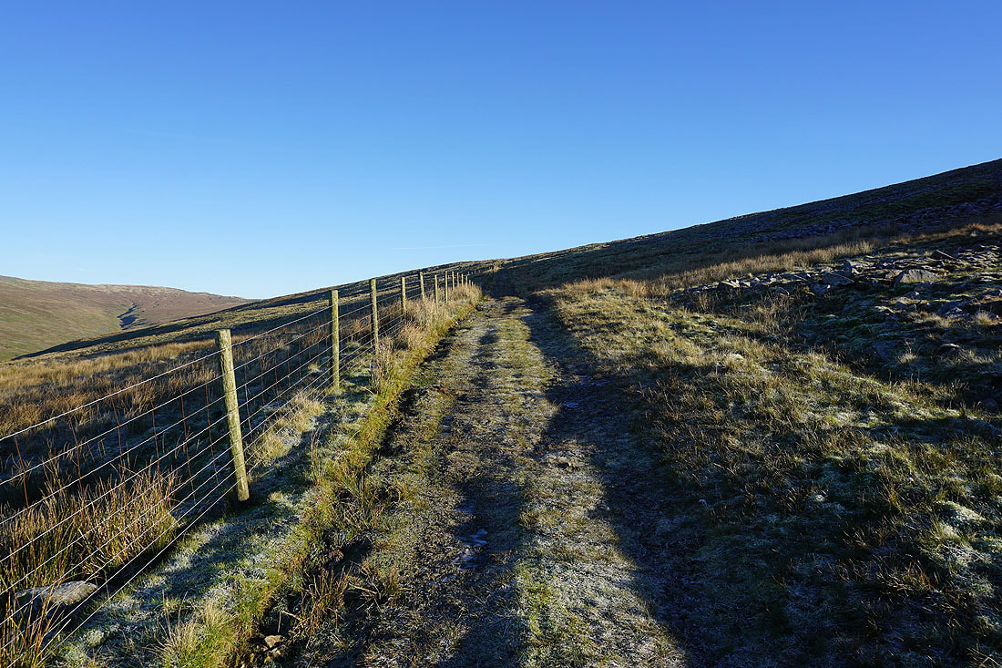
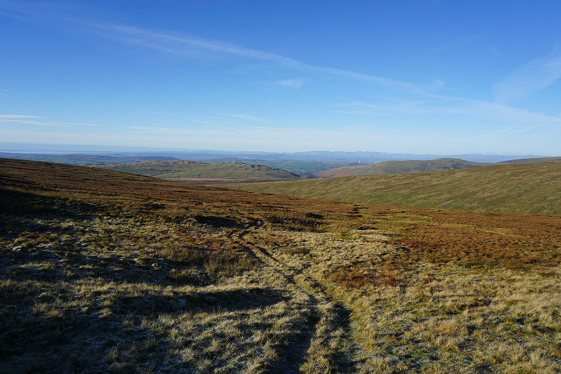
Following the track uphill with frozen ground underfoot
Barbon Low Fell, Casterton Fell, and Castle Knott, with the Lake District fells in the far distance
Crag Hill on the other side of Ease Gill
Looking back down to the valley of the River Lune
In front of me are Crag Hill and Great Coum at the head of Ease Gill
Leck Fell, Casterton Fell, and Barbon Low Fell, with Morecambe Bay and the Lake District in the distance
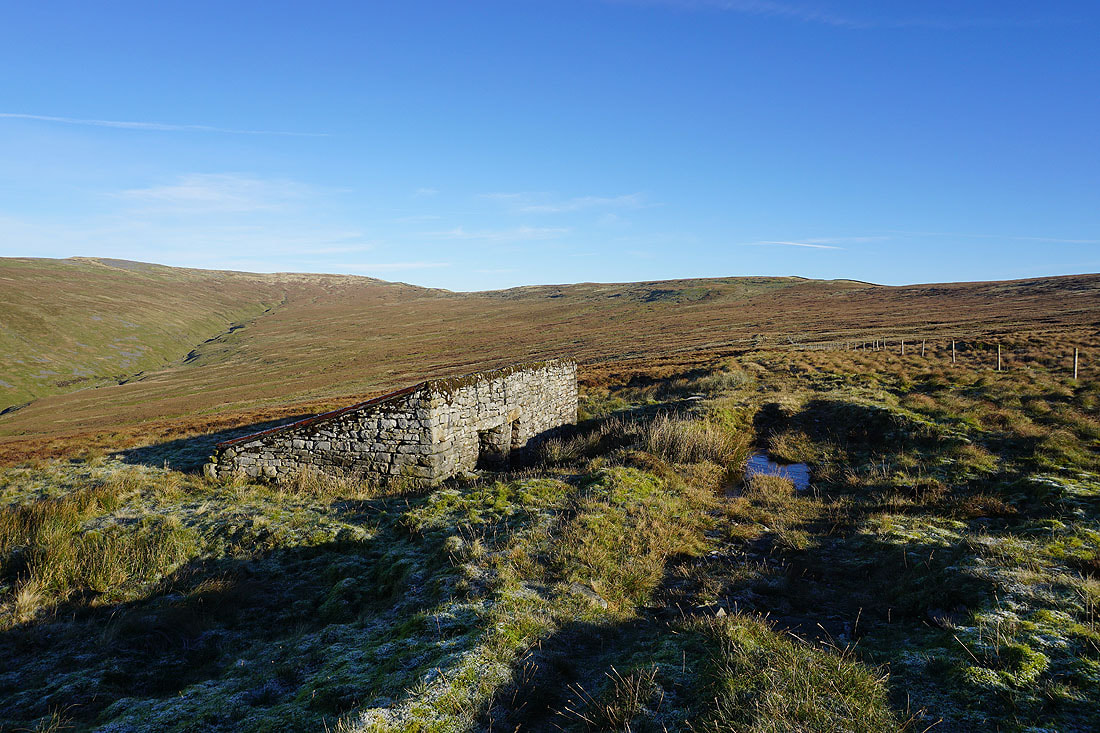
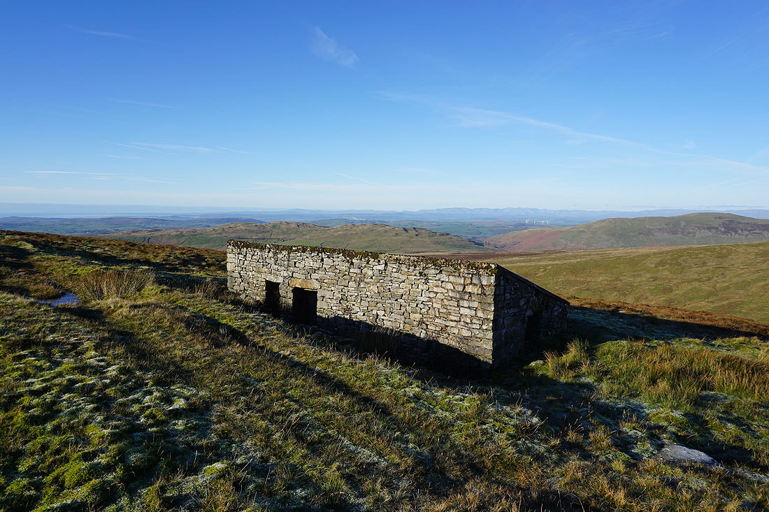
I finally reach the shooting hut at the end of the track..
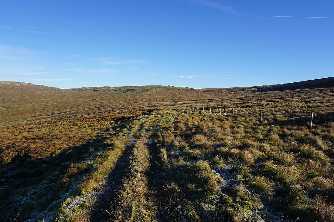
From the shooting hut there's a quadbike track to keep to for the climb across the moorland up to the ridge to the south of Green Hill..
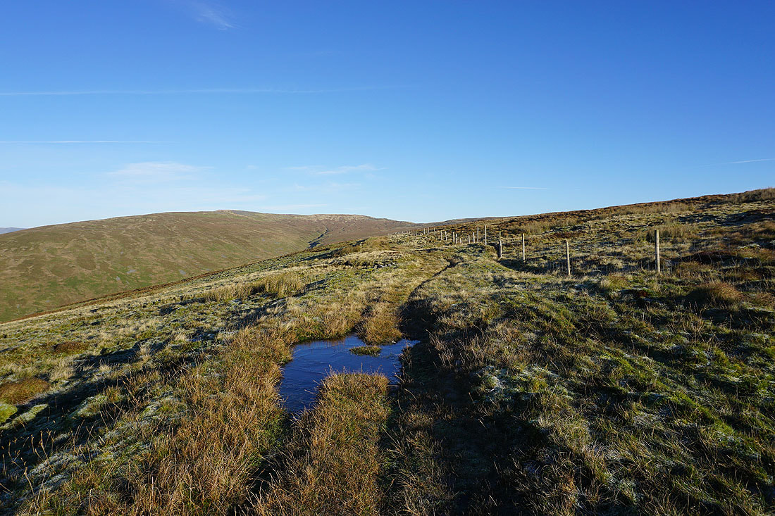
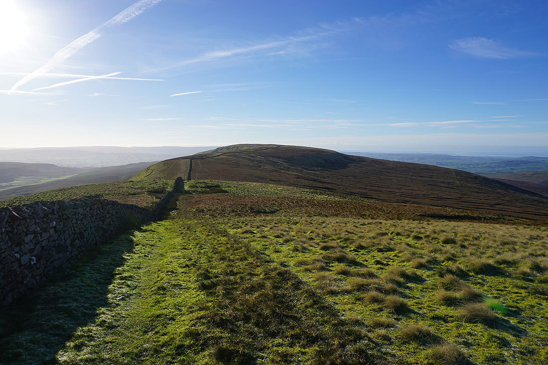
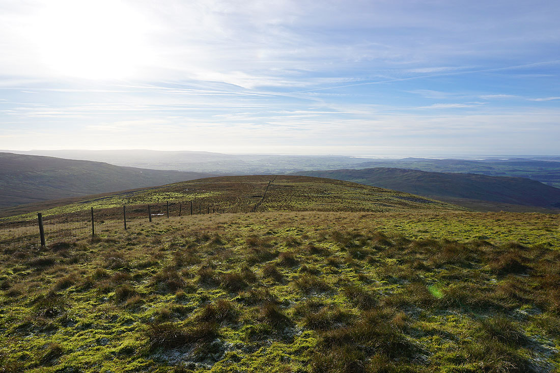
Heading north to Green Hill after climbing up to the moorland ridge from the end of the track
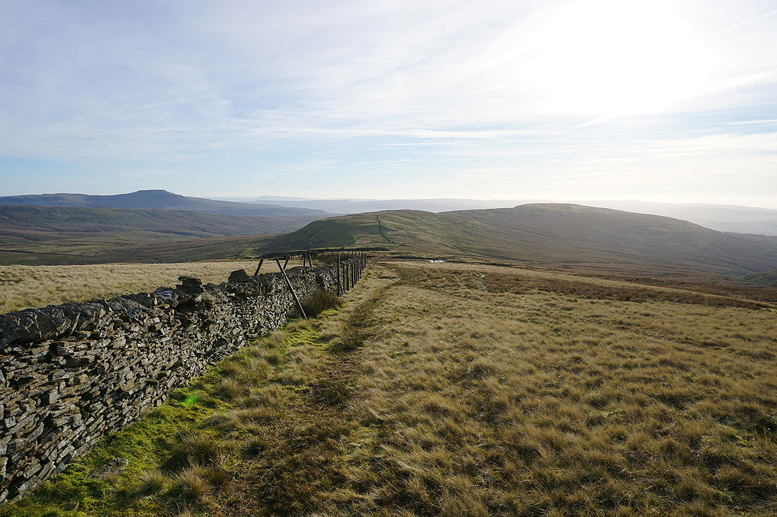
Looking across the wall to my right to Whernside..
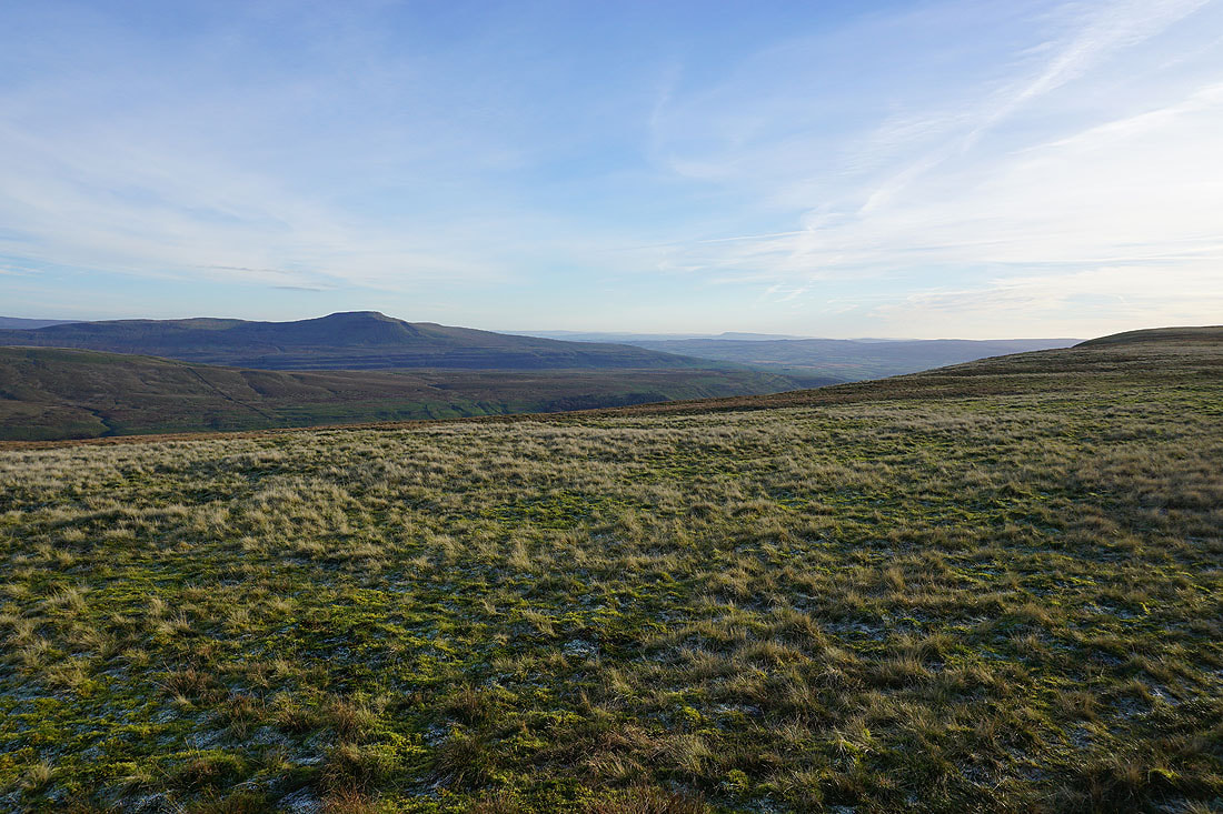
..and to Ingleborough. I can make out Pendle Hill in the distance.
Gragareth to the south as I head up Green Hill
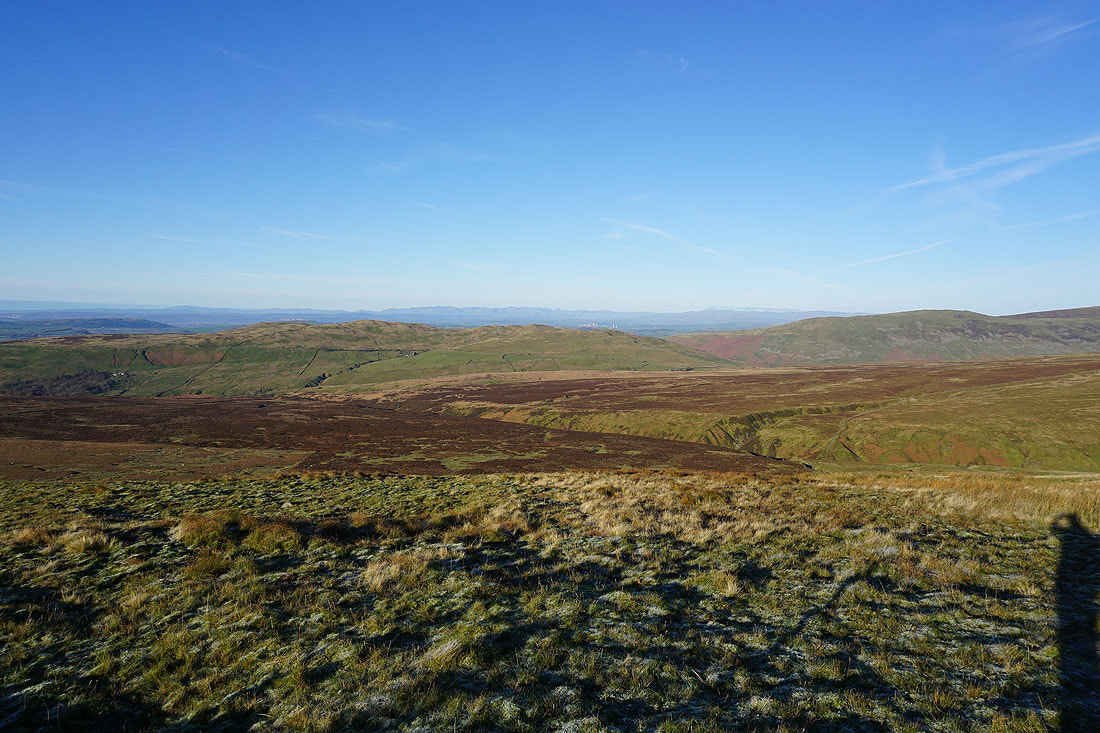
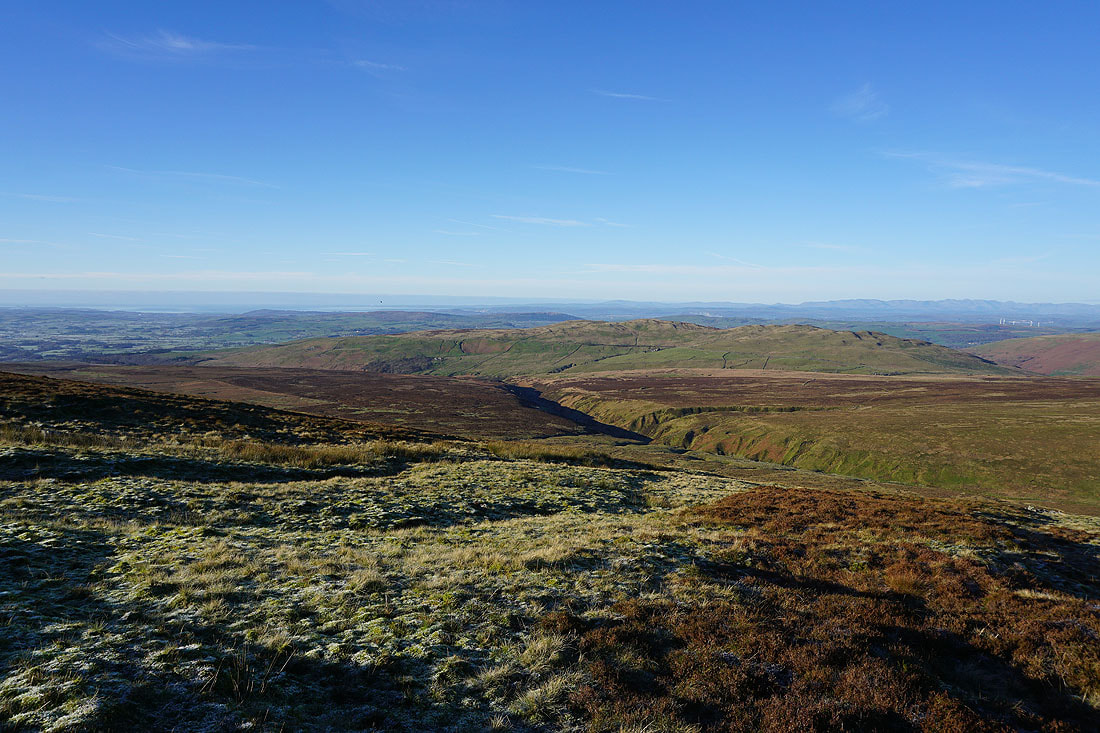
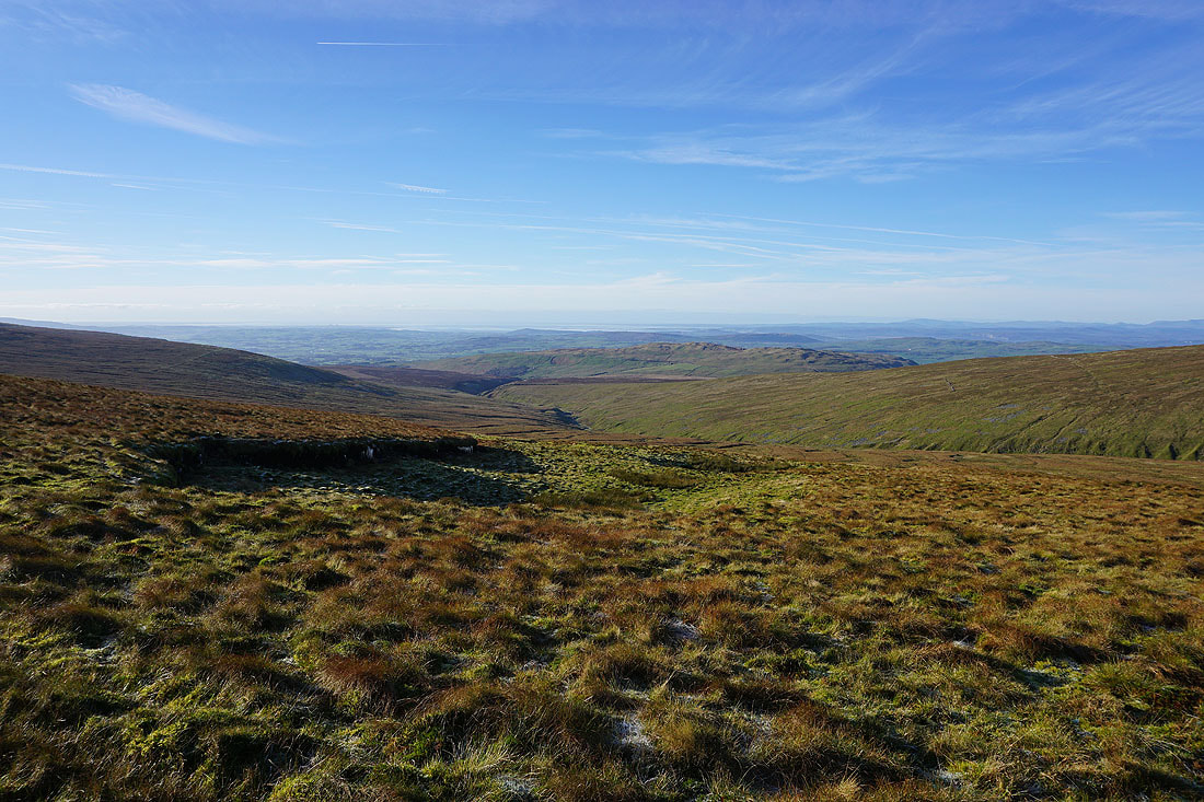
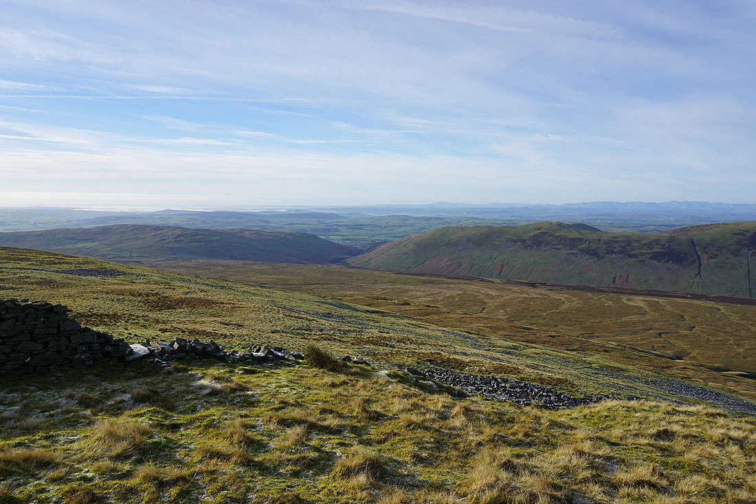
and looking down Ease Gill to Morecambe Bay in the distance
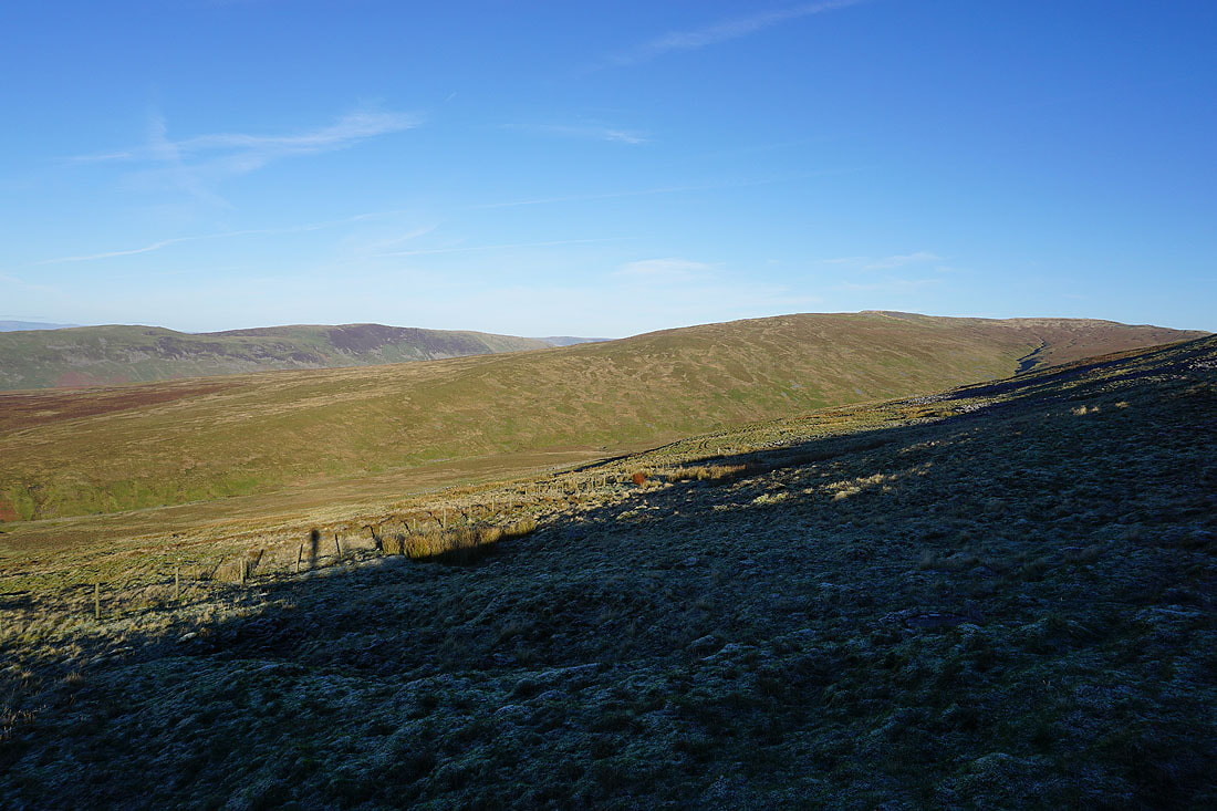
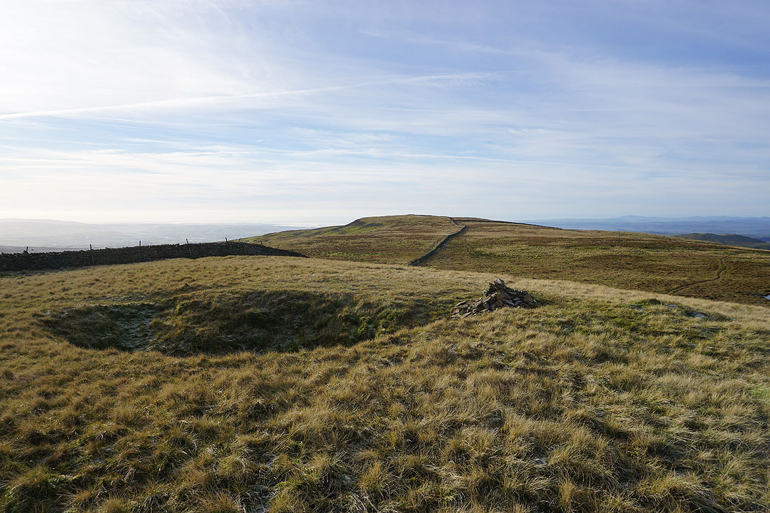
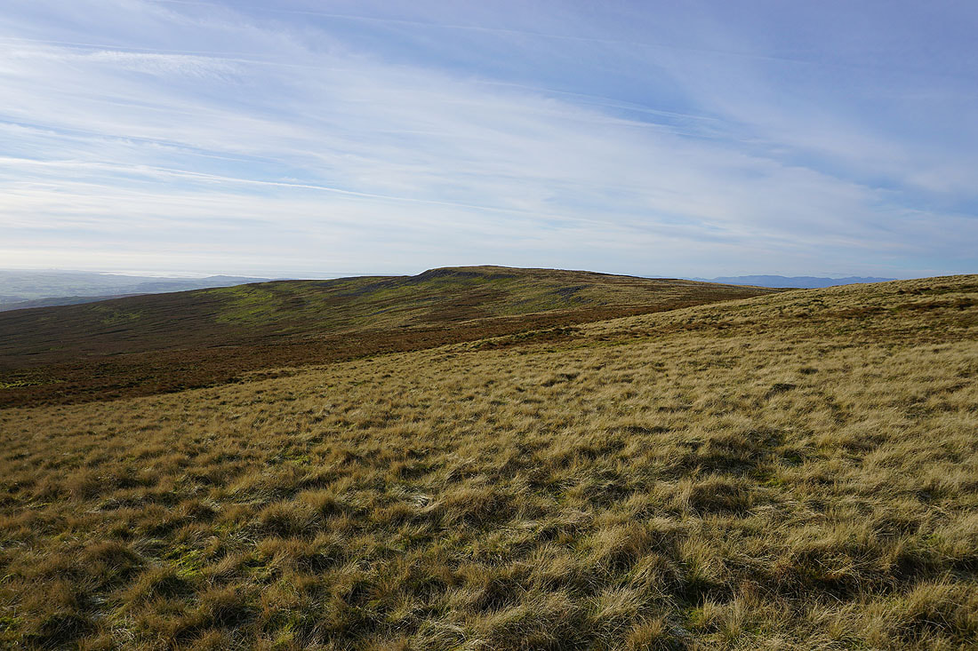
Great Coum to the north from Green Hill
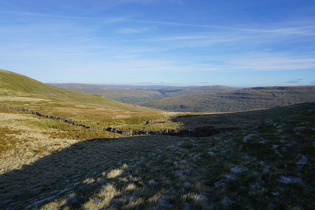
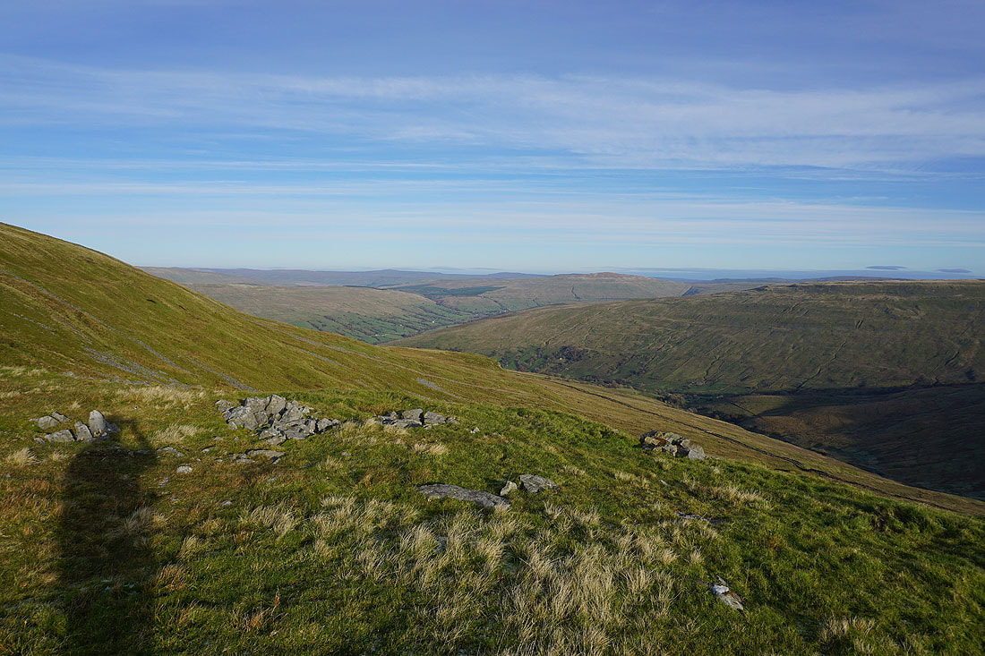
Making my way down from Green Hill and I get a glimpse down into Deepdale and Dentdale
Passing the County Stone
Ingleborough, Green Hill and Gragareth from the cairn at Gatty Pike..
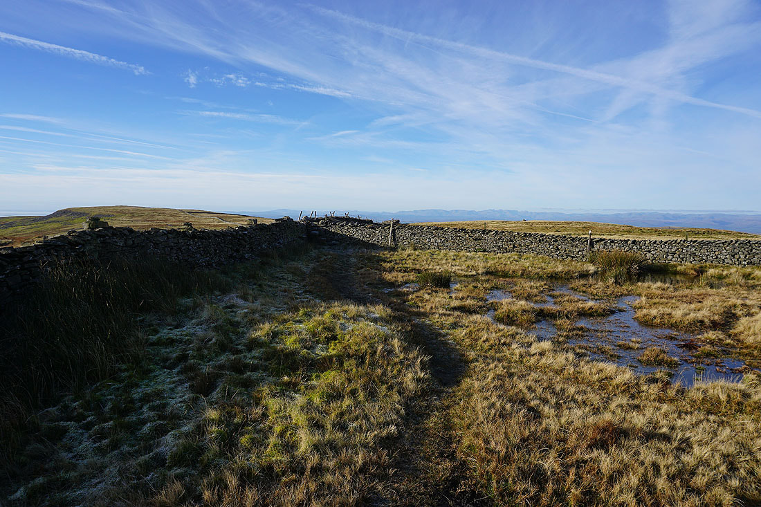
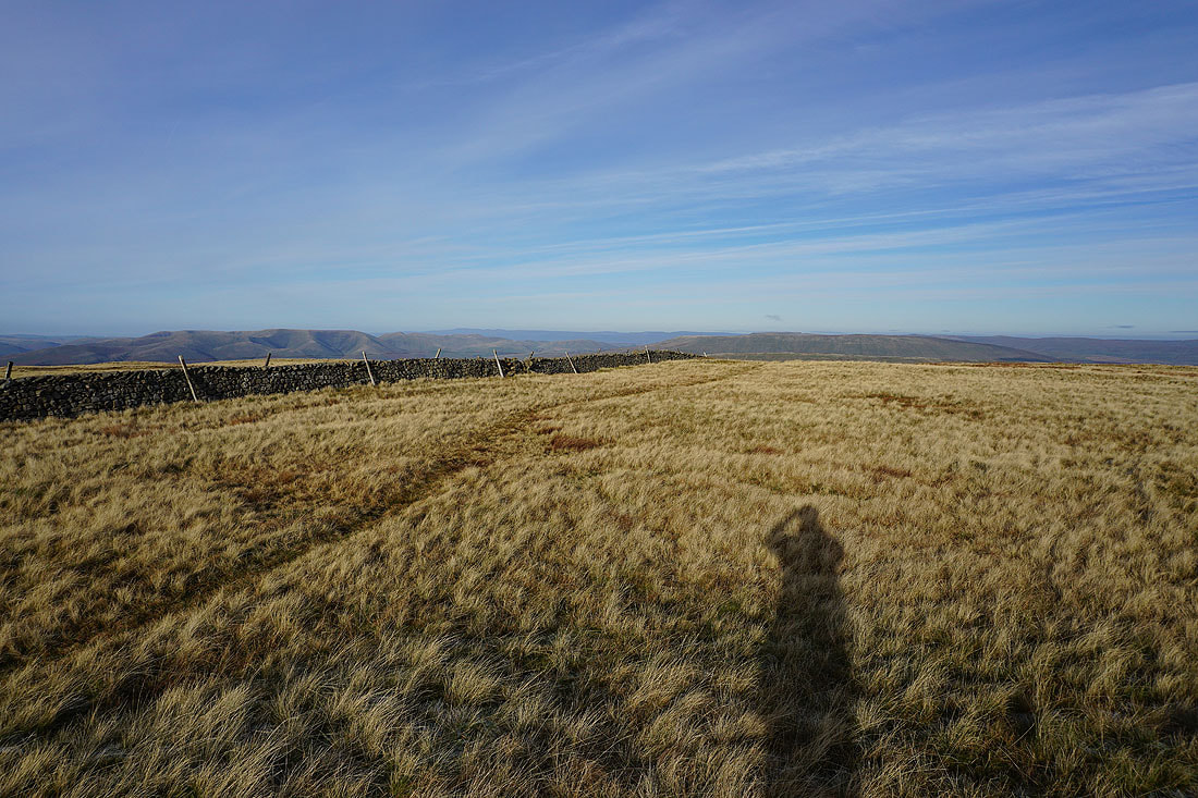
Crossing the top of Great Coum to Crag Hill. What a day to be up here! It's cold, but there's hardly any wind.
Reaching the trig point on Crag Hill, and this is a good place to stop for lunch.
First, a few photos of the view. Looking across Barbondale to Castle Knott and Calf Top on Middleton Fell, with the Lake District fells in the distance.
Calf Top on Middleton Fell, and the Howgills to the northwest
Ingleborough and Gragareth to the south
Finally, looking down the southwest ridge of Crag Hill
and across Barbon Low Fell, Barbon High Fell, and Castle Knott to Morecambe Bay and the southern half of the Lakes
The gently rounded top of Great Coum to the east, but I'm not going that way..
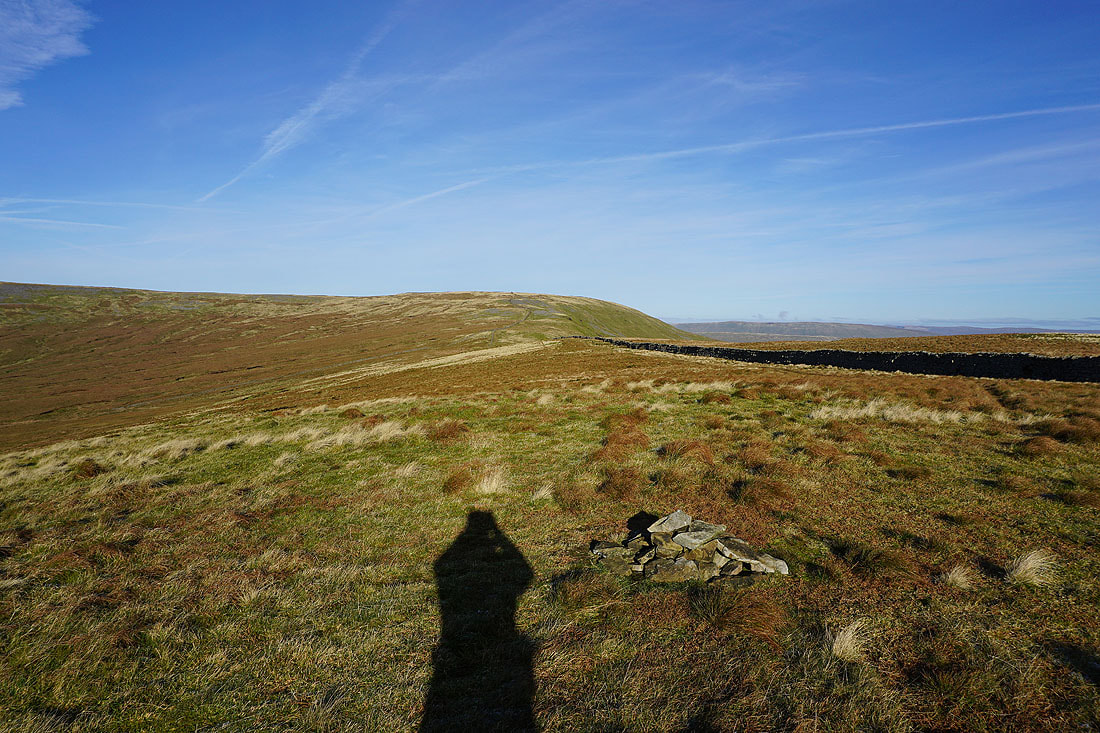
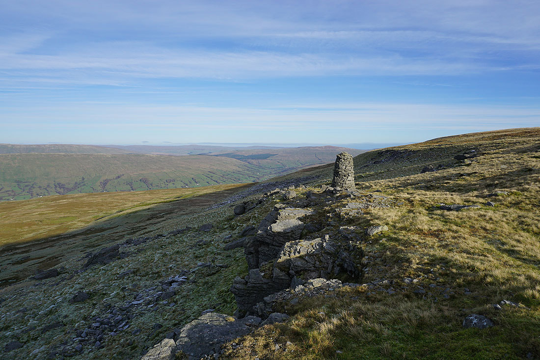
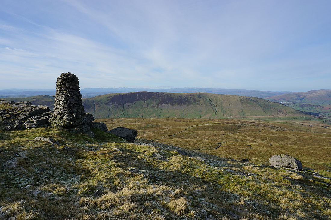
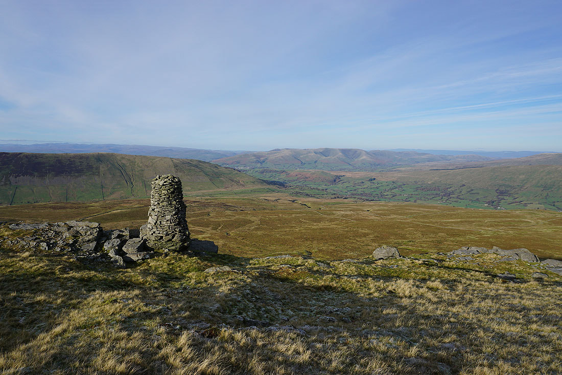
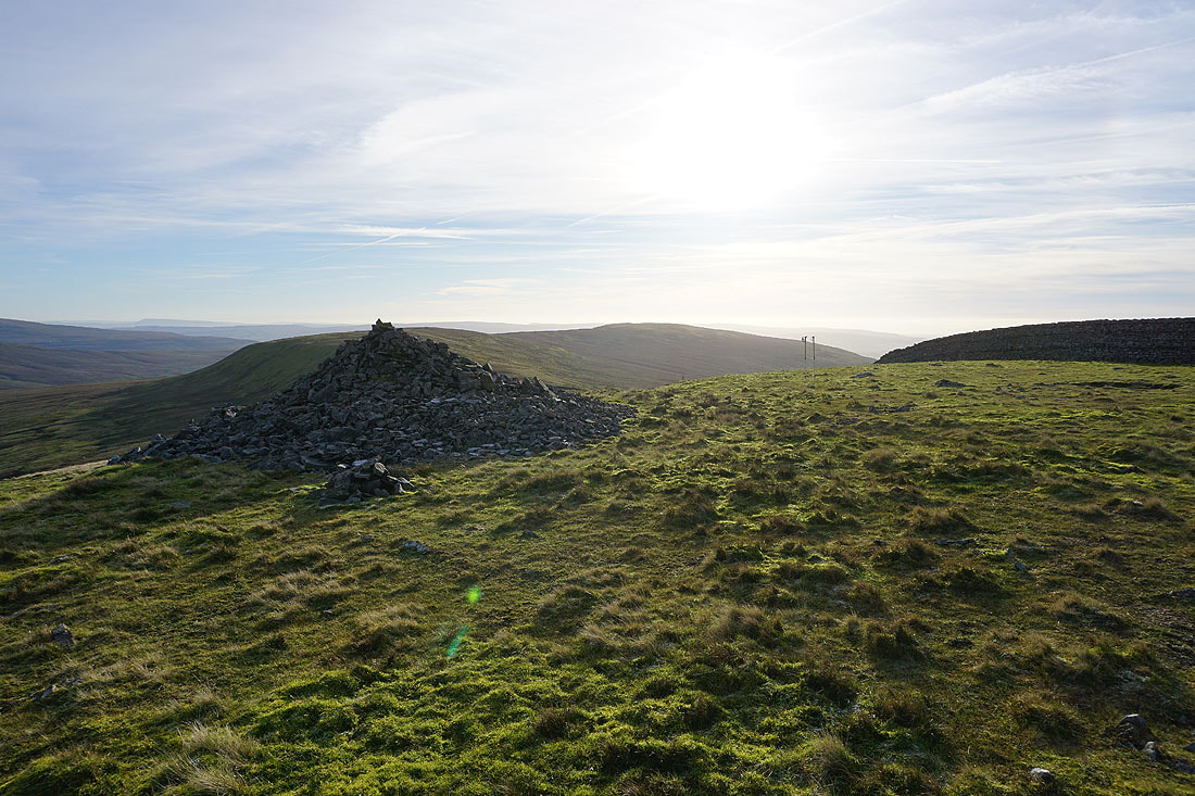
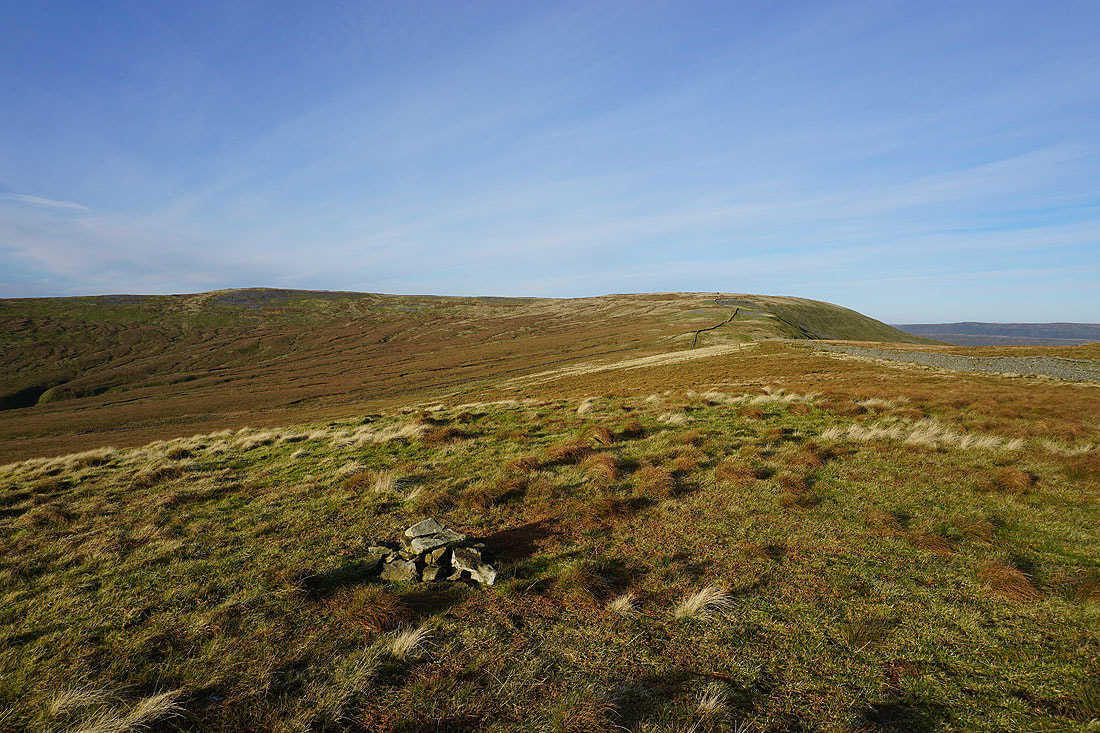
..I'm going to the cairn that sits on top of The Crag above Dentdale
Looking up Dentdale to Great Knoutberry Hill, with Baugh Fell behind Aye Gill Pike on the left
To the west, Middleton Fell on the other side of Barbondale
Looking down Dentdale to the Howgills
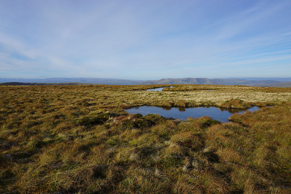
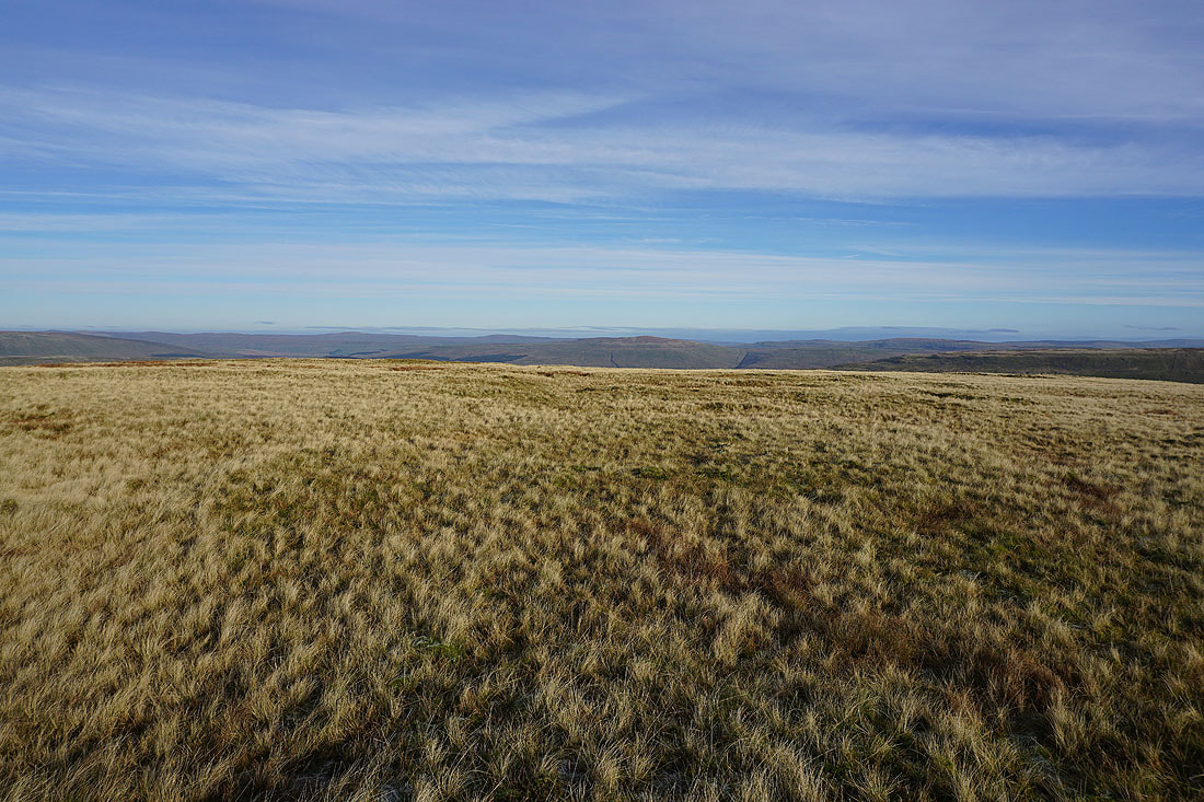
Frozen moorland pools with a view across to the northern half of the Lakes and the Howgills
Looking across to Crag Hill from the top of Great Coum
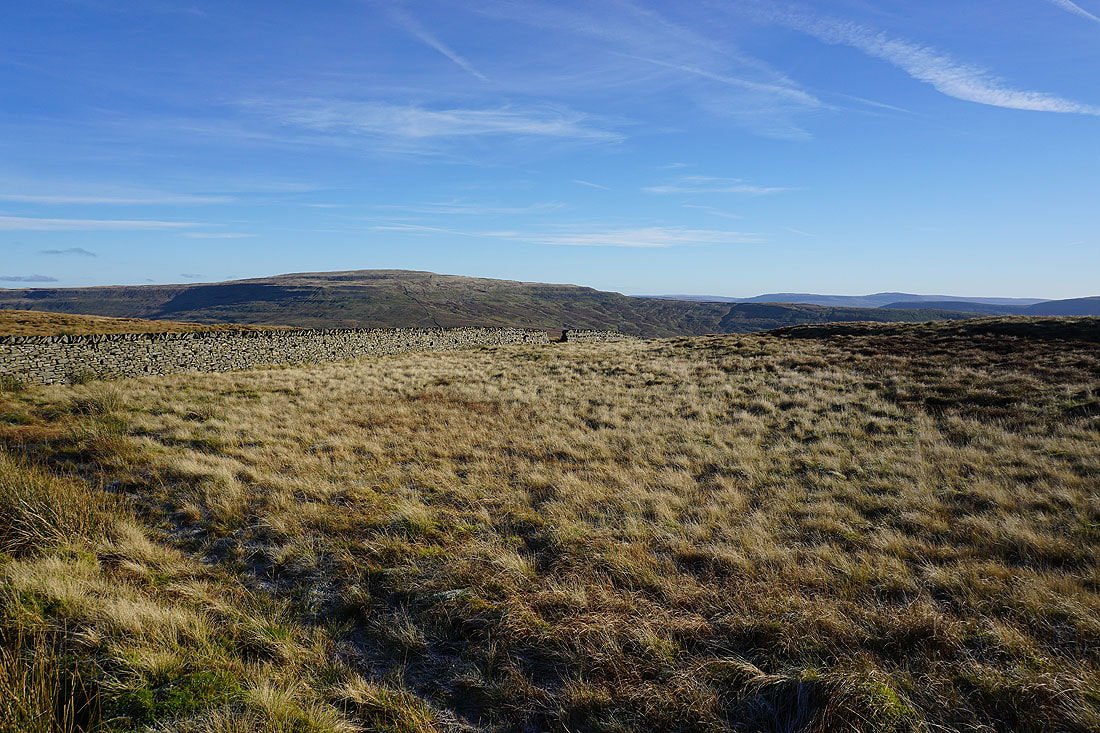
and across a hidden Dentdale to the Howgills, Baugh Fell, and Great Knoutberry Hill..
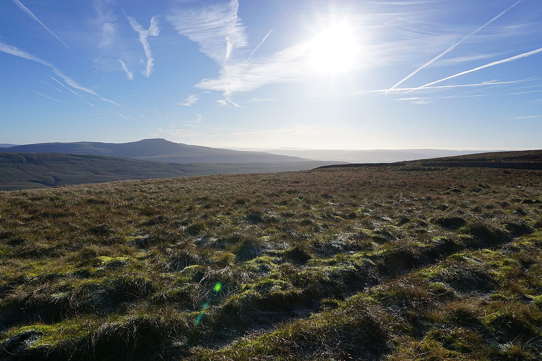
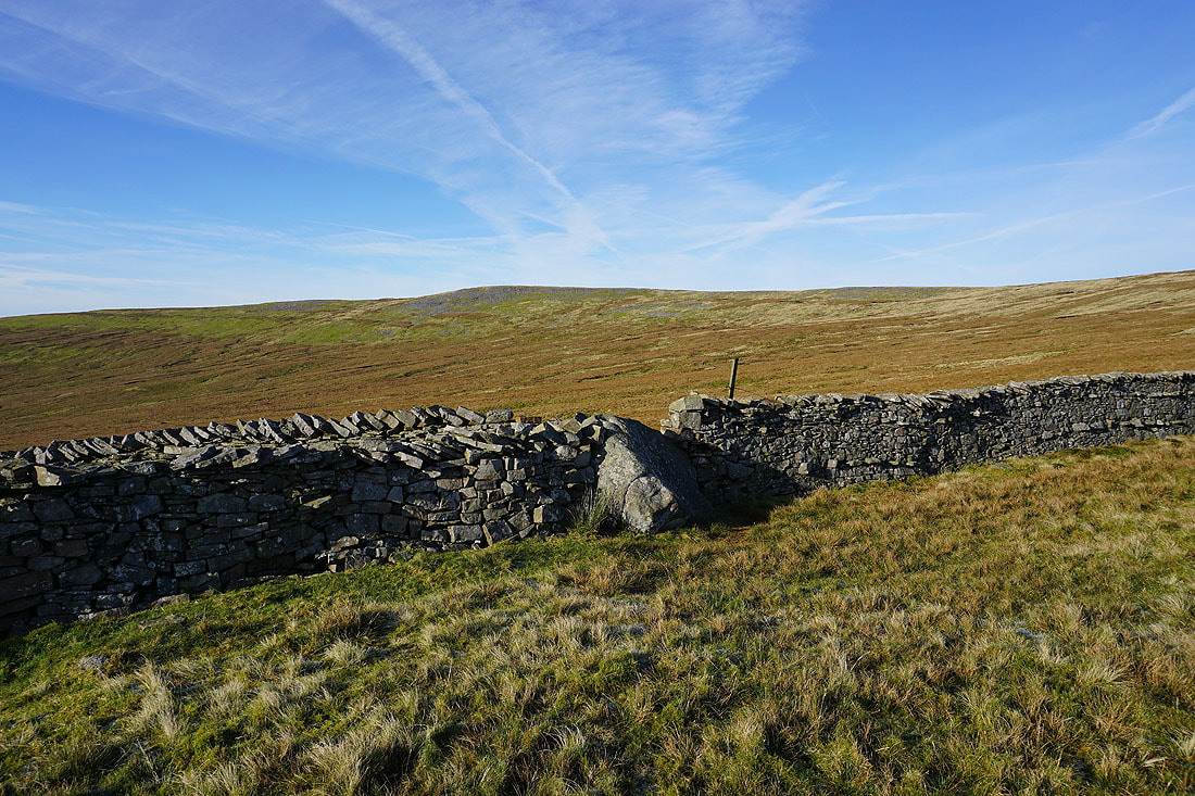
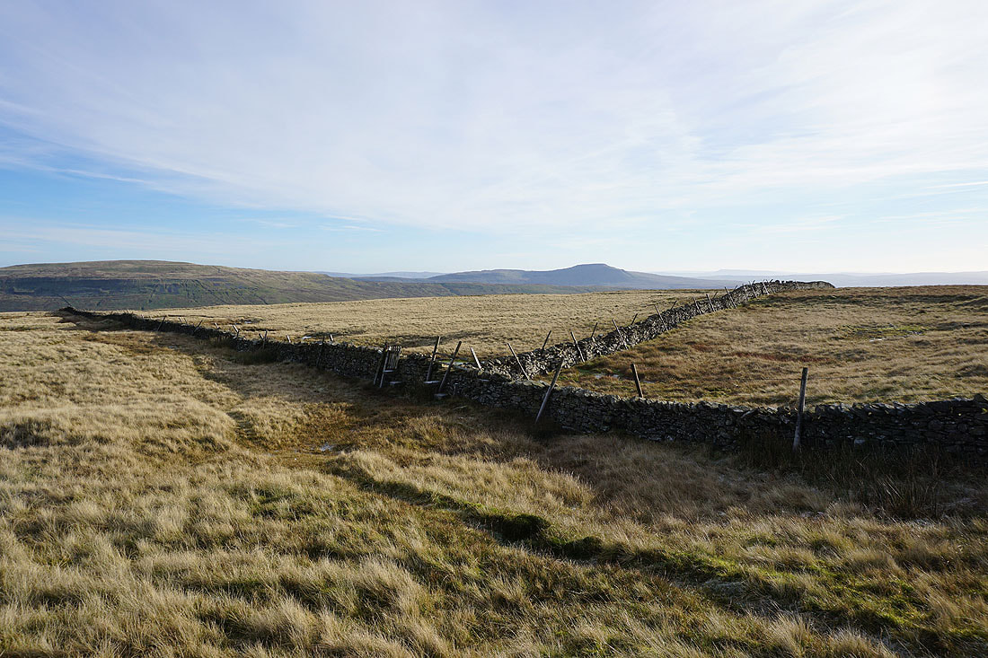
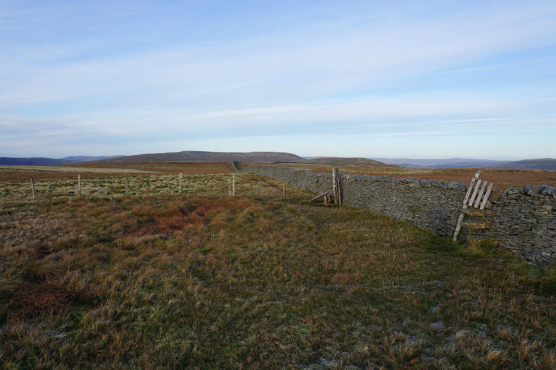
Whernside and Ingleborough. At this point I'll cross the summit wall, there are stiles for both sides of the wall heading south. I took the one for the western side.
Crag Hill on the other side of the head of Ease Gill
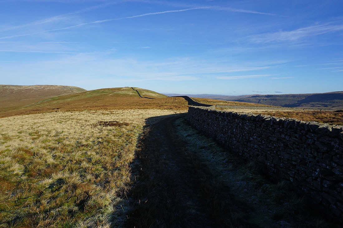
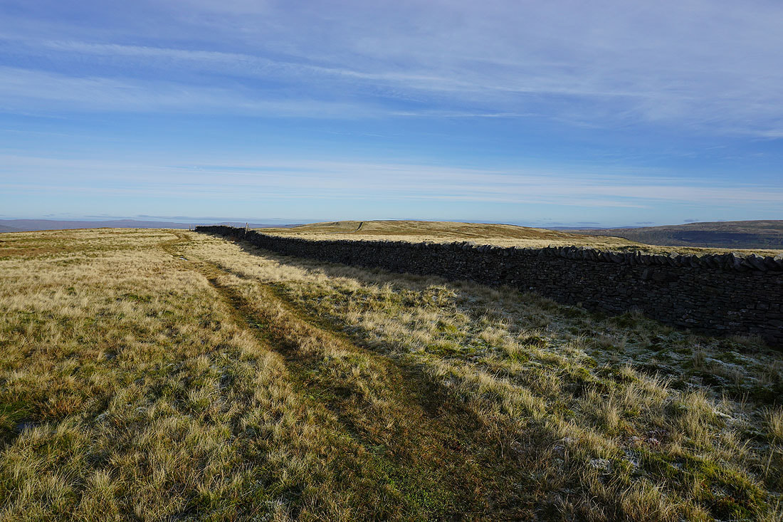
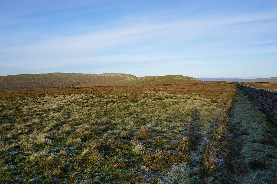
Heading for Green Hill and Gragareth
Back at Gatty Pike, with Green Hill and Gragareth to the south
The slopes of Great Coum fall into Deepdale
Looking back to Crag Hill and Great Coum from Green Hill
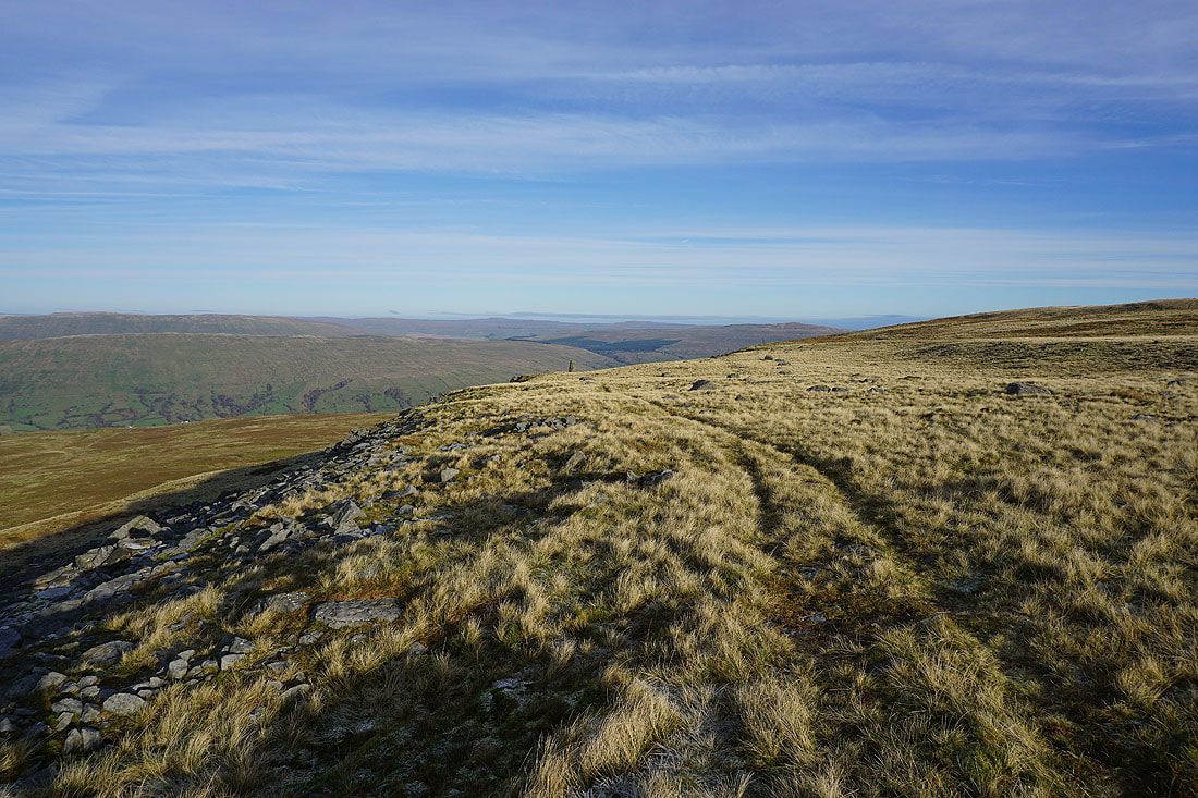
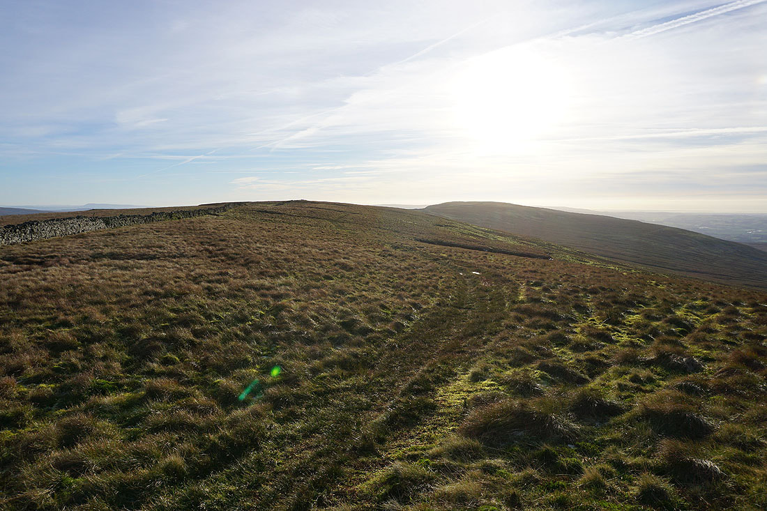
Onwards across the top of Green Hill towards Gragareth
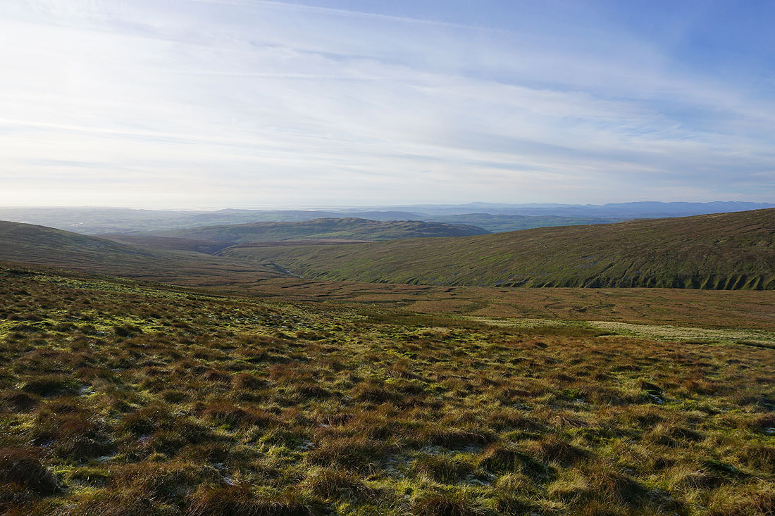
A great view to my right down the valley of Ease Gill to Casterton Fell, Barbon Low Fell, and out to Morecambe Bay
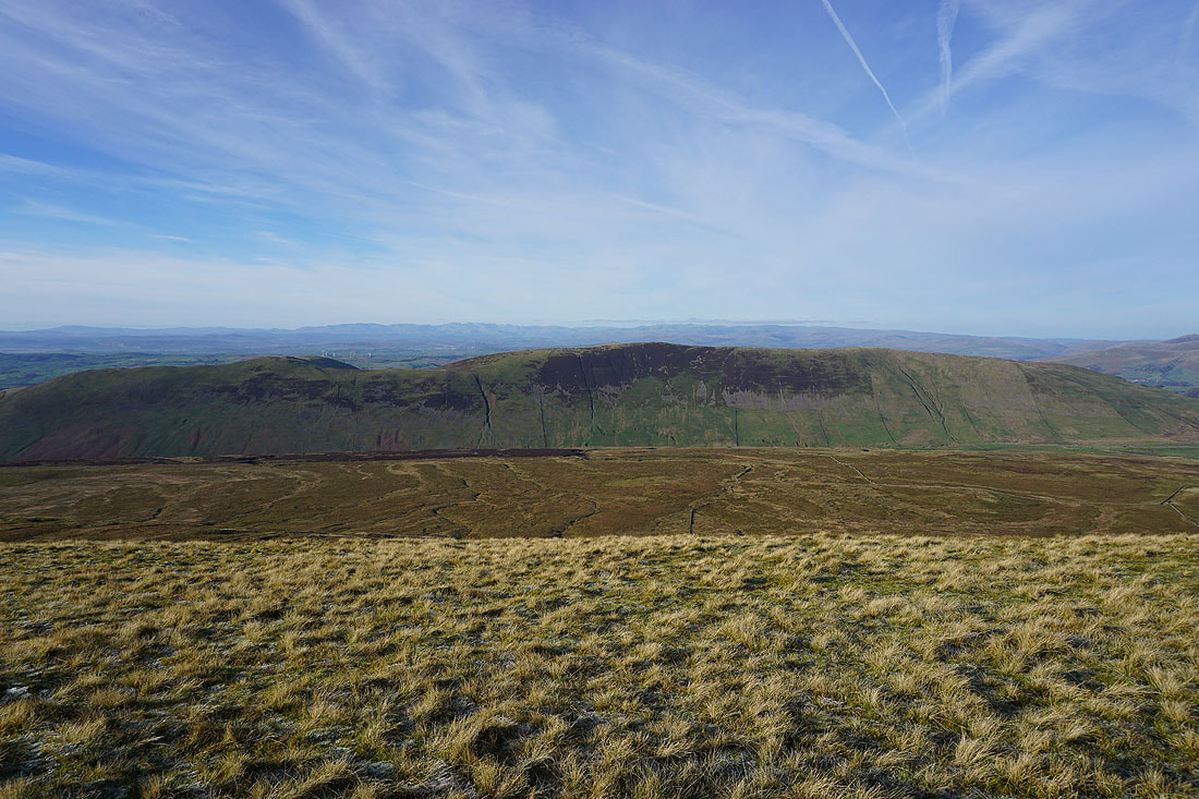
Looking back north to Crag Hill, Great Coum, and Green Hill
Scales Moor on the other side of Kingsdale, with Ingleborough beyond
Looking north to Crag Hill, Great Coum, and Green Hill as I approach the top of Gragareth. That gate and stile in the wall is where I've crossed it when I've climbed up to Gragareth from Kingsdale.
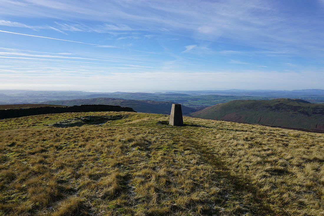
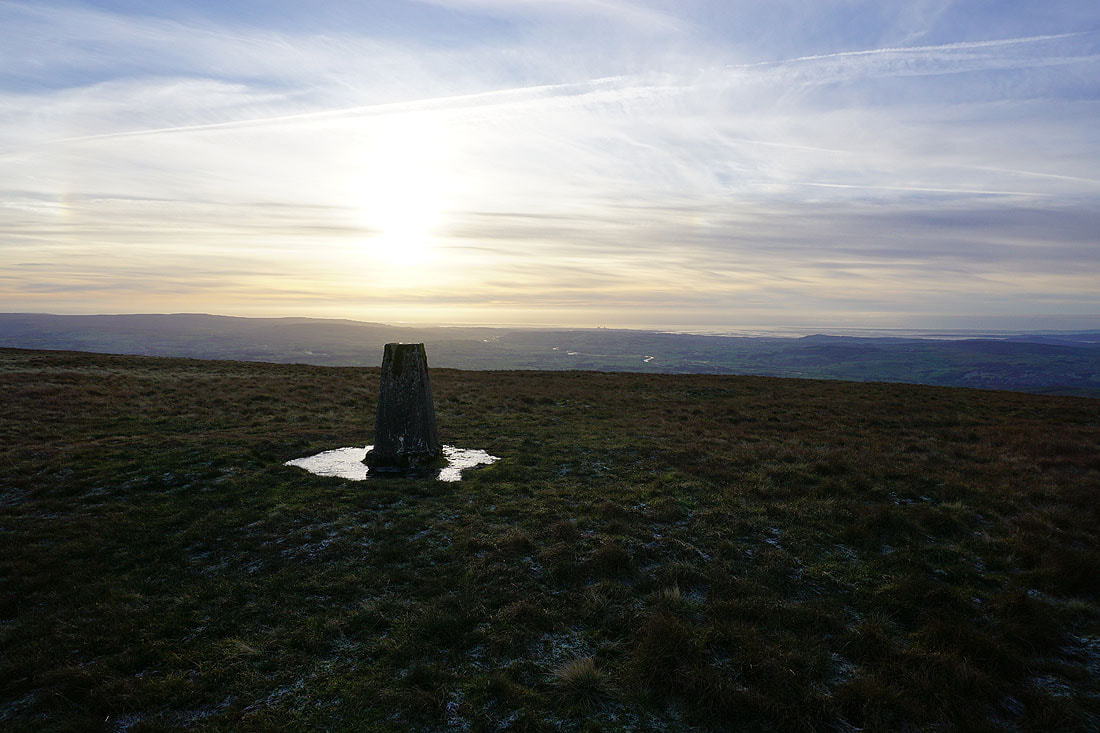
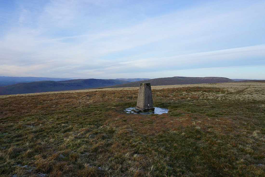
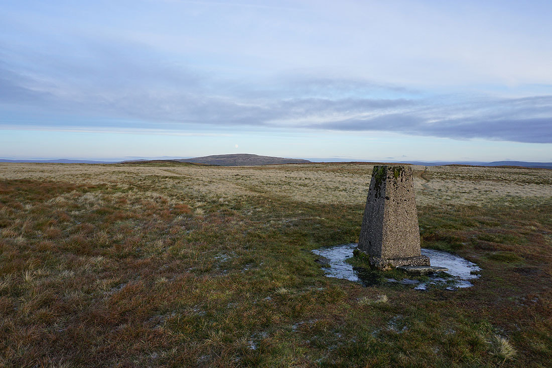
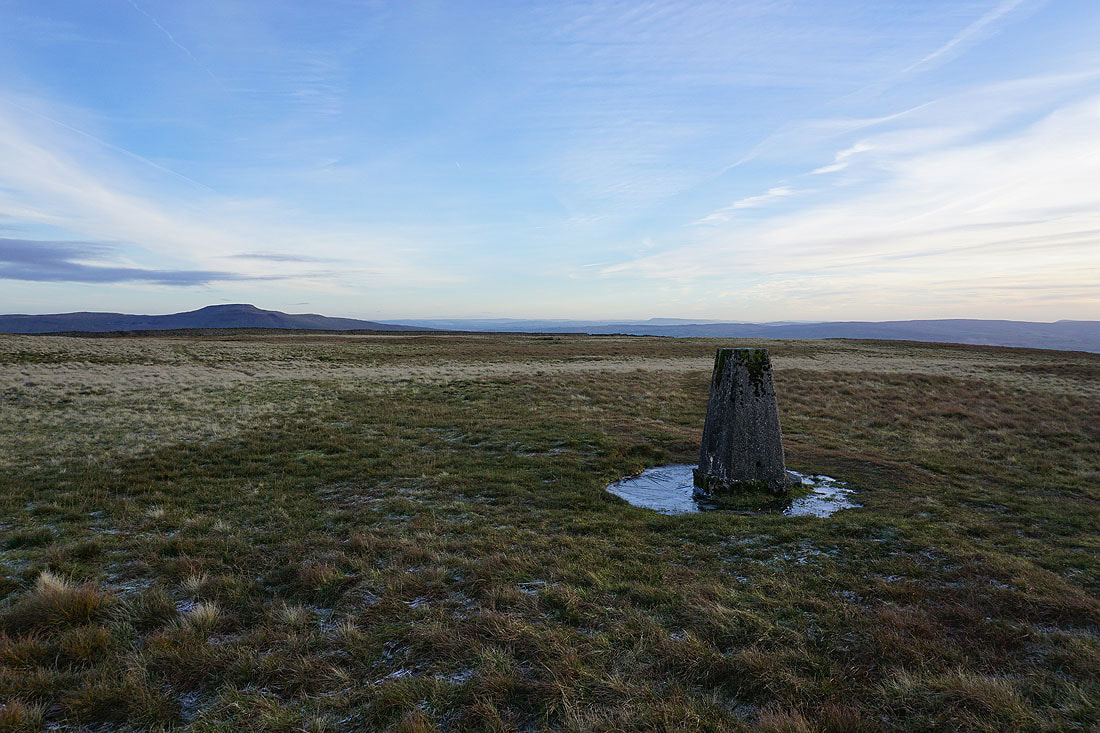
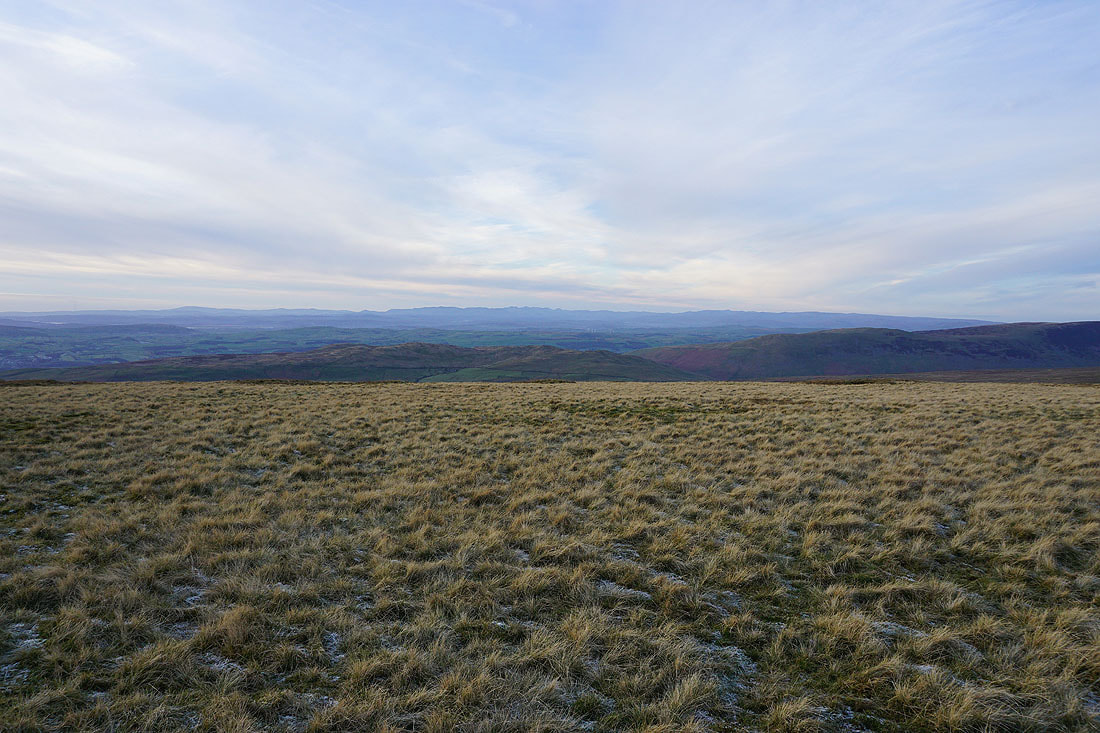
At the trig point on Gragareth, and I've got great weather for taking in the view as the sun starts to set. Starting with the sun shining on Morecambe Bay.
A long line of Lake District fells in the distance to the northwest
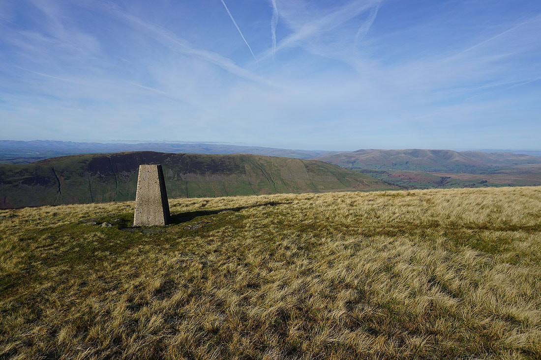
Middleton Fell, the Howgills, Crag Hill and Great Coum
The top of Whernside rises above the nearby moor
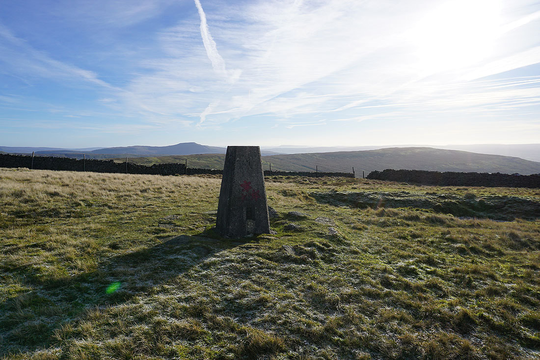
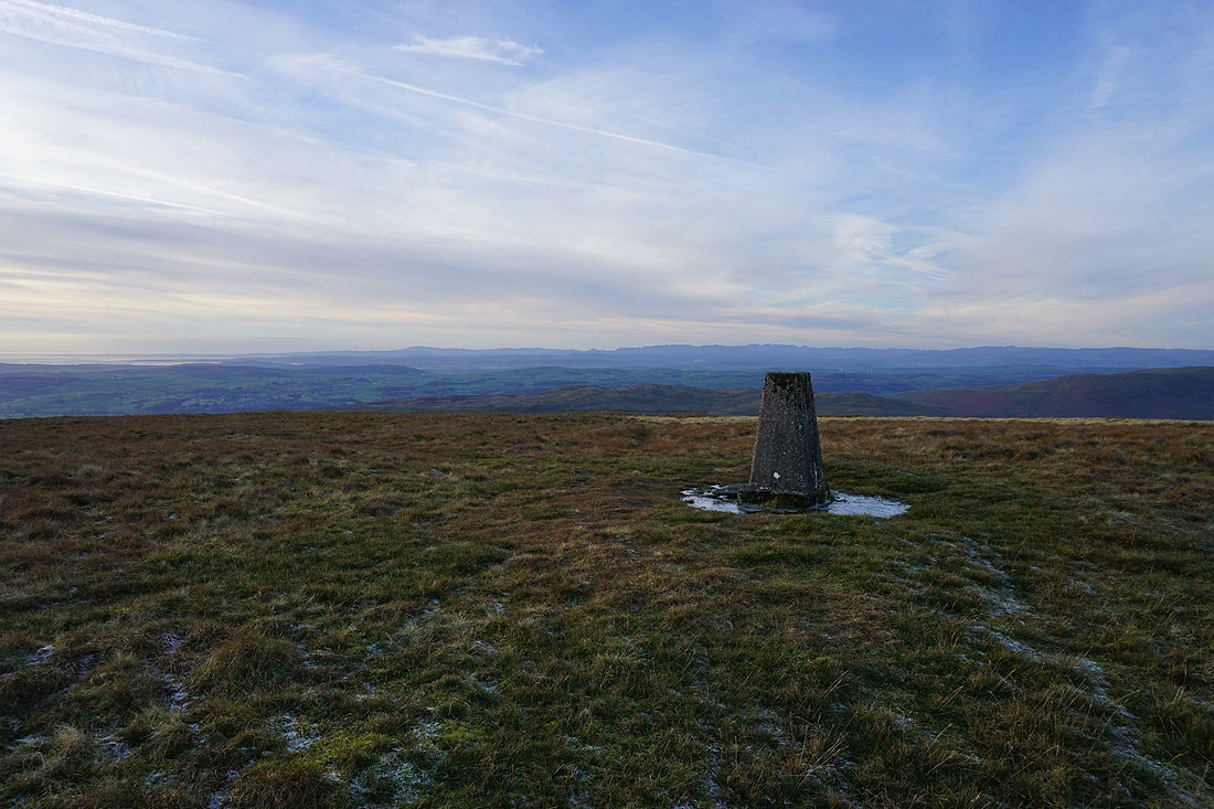
Finally, Ingleborough on the left to the southeast, with Pendle Hill in the distance behind the trig point
Leaving the trig point I head down the western slopes of Gragareth to the cairns of the Three Men of Gragareth
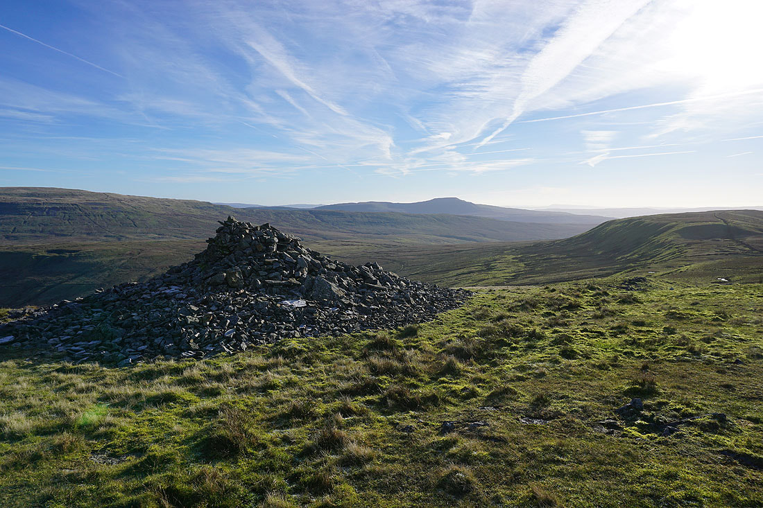
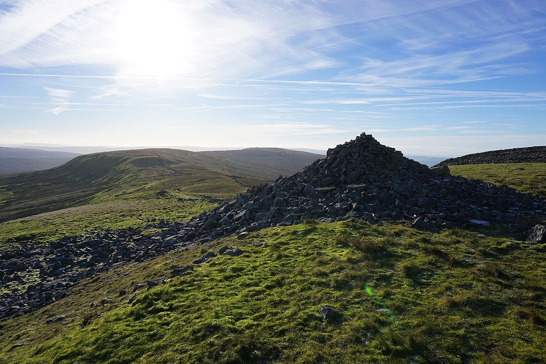
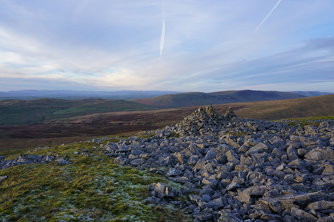
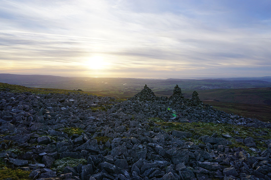
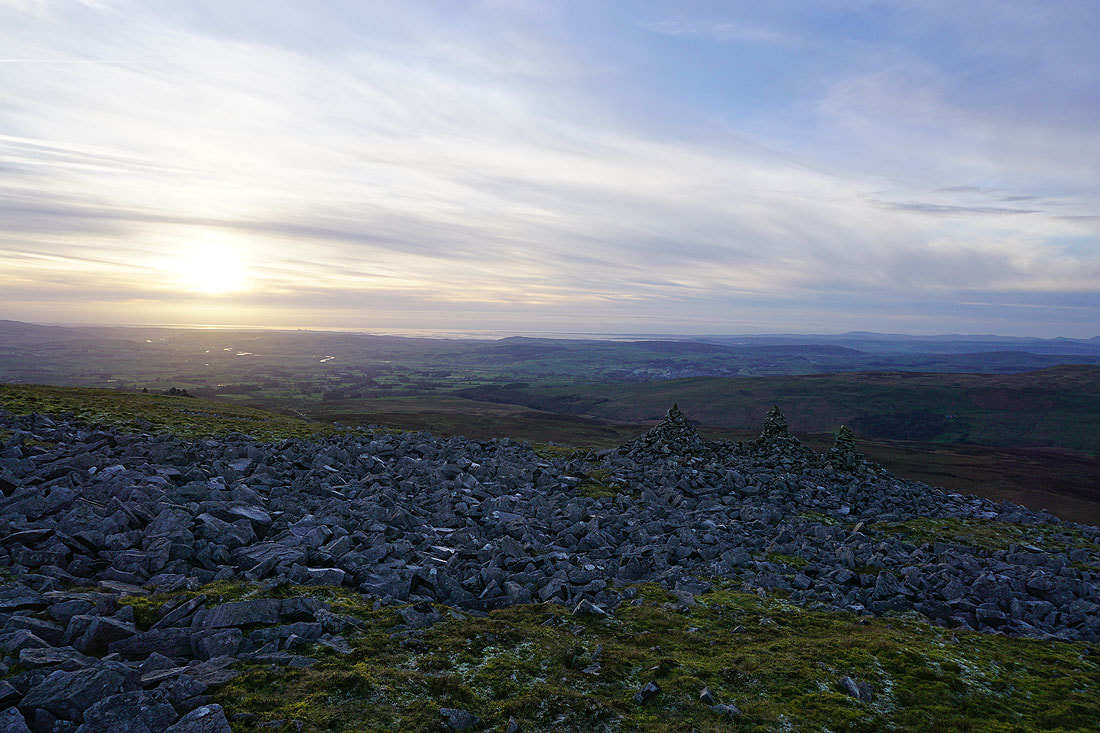
At the cairns of the Three Men of Gragareth. Looking northwest across Barbon Low Fell, Casterton Fell, and Middleton Fell to the Lake District fells in the distance.
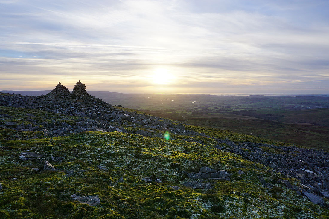
Looking down the valley of the River Lune to the sun setting over Morecambe Bay...
Onto the track above Leck Fell House, and I have a walk down the road from Leck Fell House to where I've parked my car
