25th October 2015 - Shining Tor, Burbage Edge & the Vale of Goyt
Walk Details
Distance walked: 10.8 miles
Total ascent: 1963 ft
OS map used: OL24 - The Peak District, White Peak area
Time taken: 6 hrs
Route description: Errwood Reservoir-Shooter's Clough Bridge-Foxlow Edge-The Street-Pym Chair-Cats Tor-Shining Tor-Cat & Fiddle-Derbyshire Bridge-Burbage Edge-Dismantled Railway-Goyt's Lane-Bunsal Cob-Errwood Reservoir
This is one part of the Peak District that I haven't been to too often although I have walked the ridge from Cats Tor to Shining Tor a couple of times, coincidentally both days were sunny but hazy with restricted views. Today I fancied treading some familiar ground as well as taking in pastures new. My route from the Cat & Fiddle to Burbage Edge and where I left Goyt's Lane was all new to me. I quite enjoyed the views from Burbage Edge across the moors and of Buxton and there were no problems with appreciating them today, the visibility was good although the sunshine was pretty hazy at times. It was a mild autumn day, perfect for walking.
From the car park opposite the dam of Errwood Reservoir I set off by walking along the road to Shooter's Clough Bridge. Here, I left the road for a path up through the woods and then along Foxlow Edge to the road of The Street. After walking by the road up to Pym Chair I then did the ridge walk south along the top of Cats Tor to the trig point and summit of Shining Tor. Lunch was taken here and after taking in the view I took the path southeast down to the top of Shooter's Clough and up to the next ridgeline, where I turned right onto the path that heads south to the Cat & Fiddle road. I then had a noisy ten minutes walking past the Cat & Fiddle Inn until I left the main road for the one down to Derbyshire Bridge. At the car park where the road takes a sharp left I went straight on, taking the byway across the moors to Buxton. When it reached its summit I took the public footpath that heads north and then a path across the moor to reach the trig point on Burbage Edge. The descent from Burbage Edge was a bit boggy and awkward in places but once I reached the dismantled railway that's on the map there was easy walking all the way round to the car park on Goyt's Lane. To avoid walking down the road I used the footpath opposite the car park that crosses a couple of fields to join Goyt's Lane opposite Bunsal Cob. I then crossed the road for the path over Bunsal Cob and back to the road. A walk along the road over the dam of Errwood Reservoir was left to get back to where I started.
Route map
© Crown copyright. All rights reserved. License number PU 100034184.
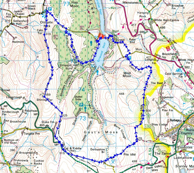
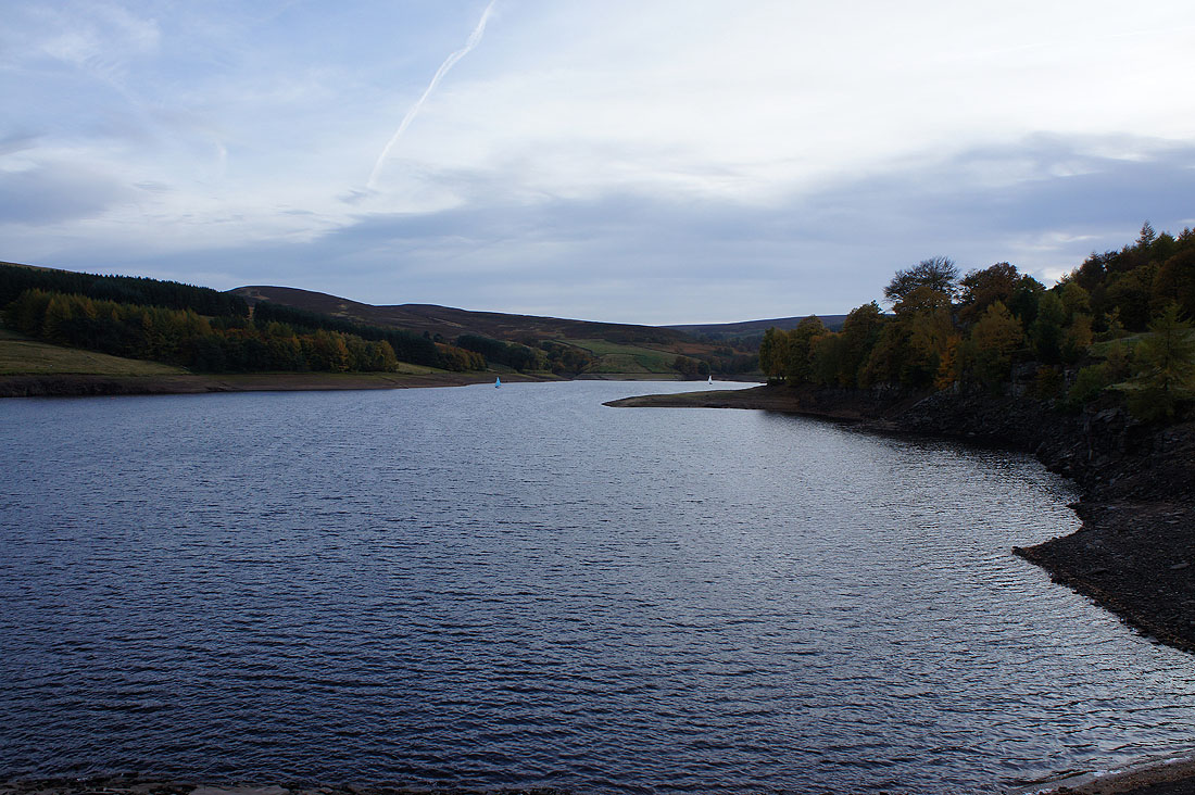
Setting off by Errwood Reservoir
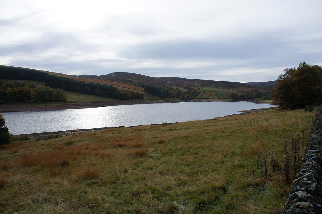
Up the woodland path from Shooter's Clough Bridge
On Foxlow Edge. Looking back to Goyt's Clough and a distant Axe Edge Moor.
Kinder Scout to the northeast
The way ahead to The Street and Pym Chair
On Cats Tor looking north to Windgather and Whaley Moor
The Goyt Valley and a distant Kinder Scout
On the way to Shining Tor
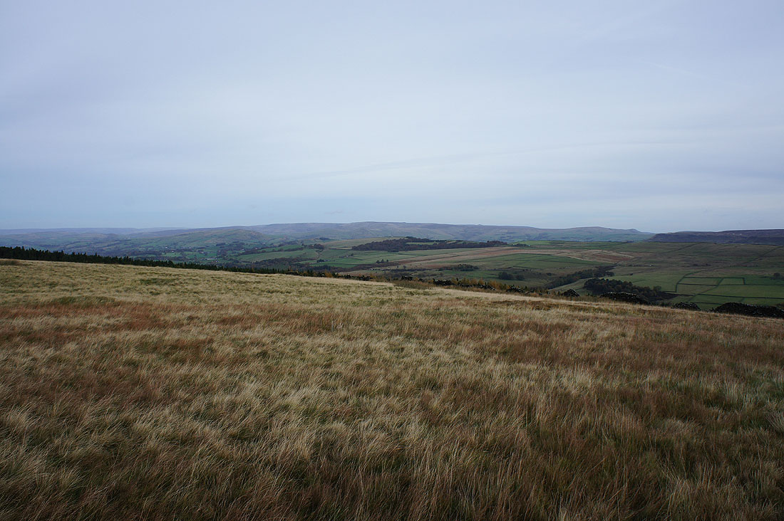
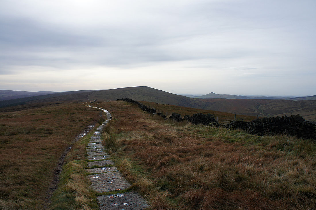
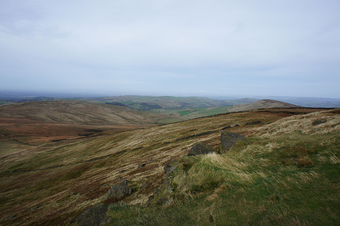
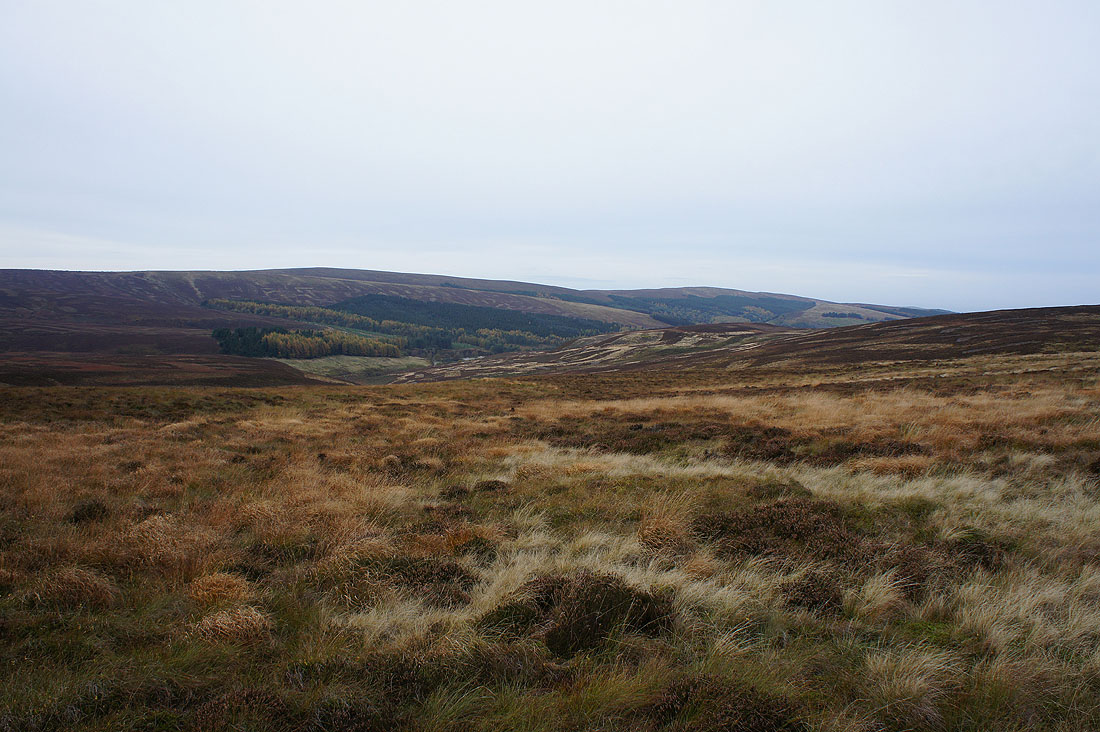
There's a great view across to Wild Moor and Goyt's Moss. Burbage Edge is the hill on the right and I plan on being there later in the day.
Kinder Scout and Combs Moss as I reach Shining Tor
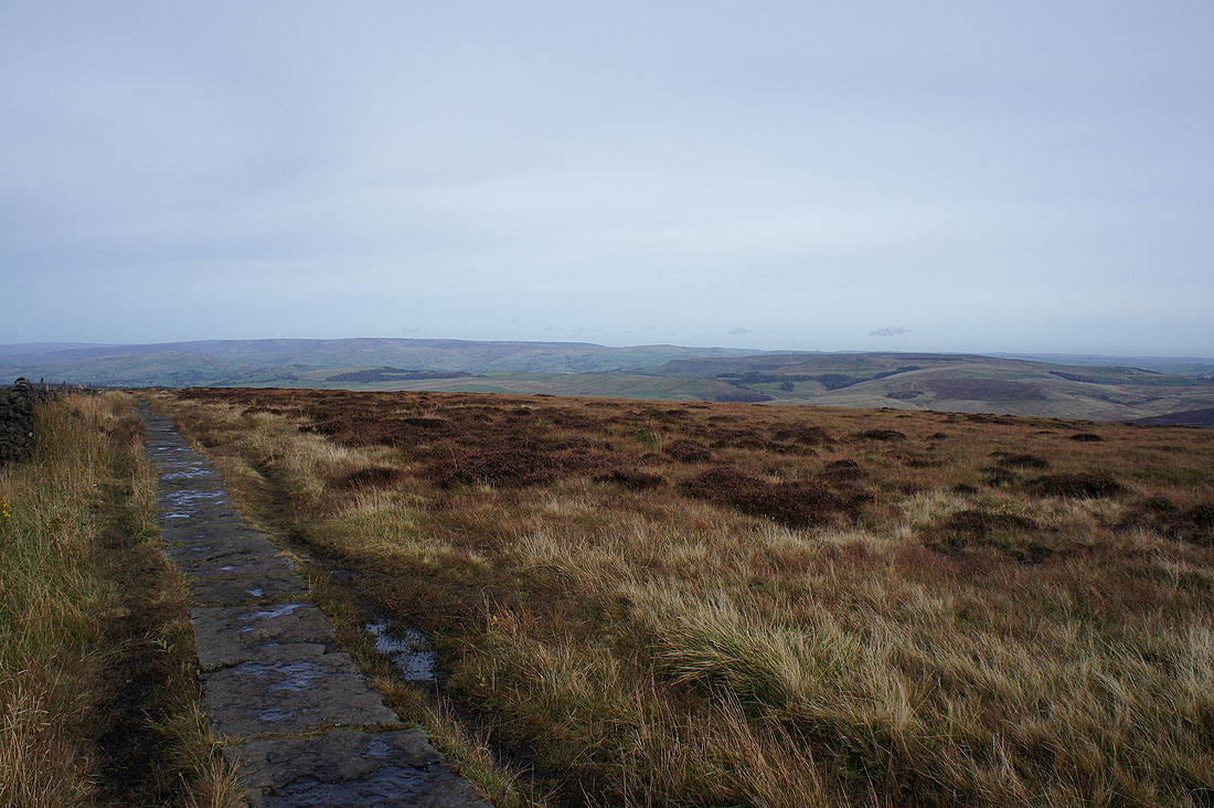
Looking towards Axe Edge Moor
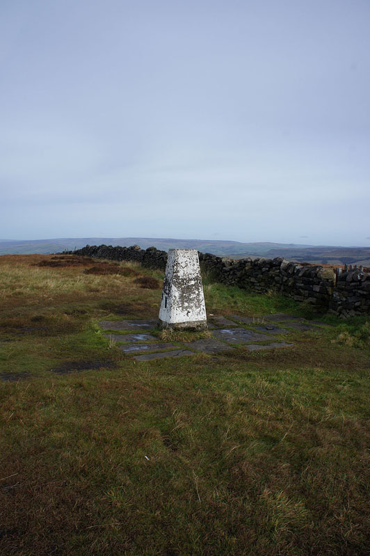
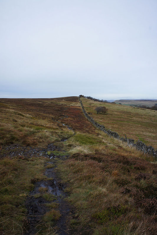
Through the gate in the wall to reach the trig point
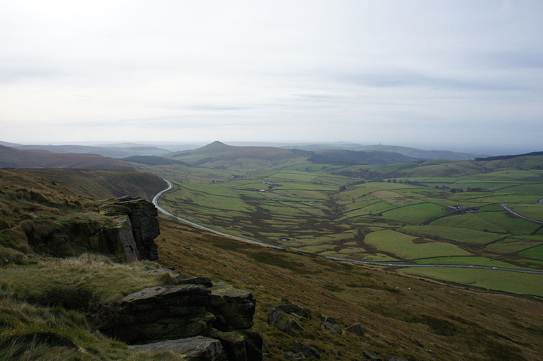
Shutlingsloe and Macclesfield Forest with the Cat & Fiddle road below
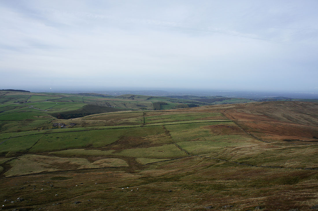
The Cheshire Plain out to the west
and if I zoom in, the Lovell Telescope at Jodrell Bank
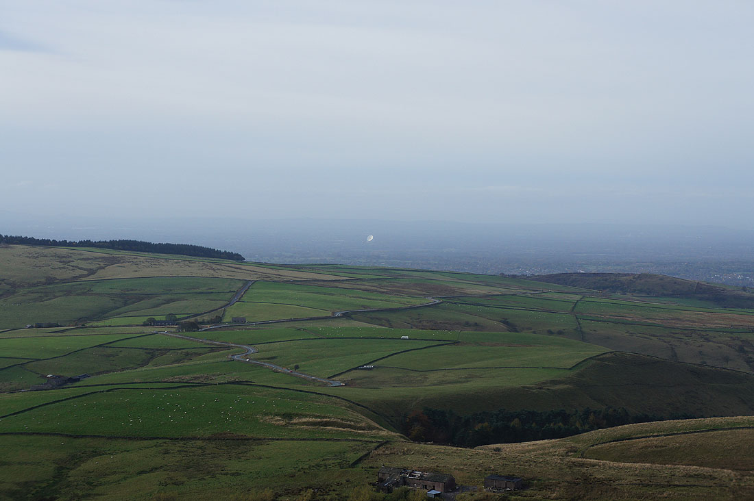
The moorland around the Todd Valley to the north and I can make out the urban sprawl of Manchester. If the visibility was better I'd be able to make out the moors around Rossendale on the other side of Manchester, where I live.
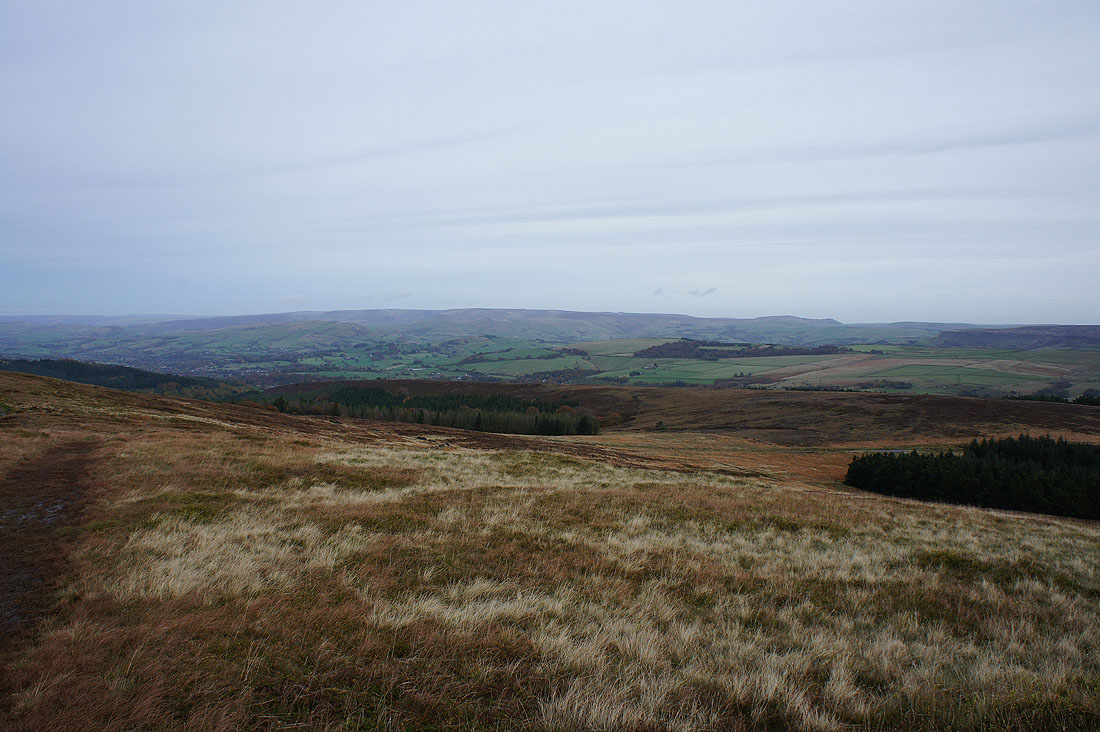
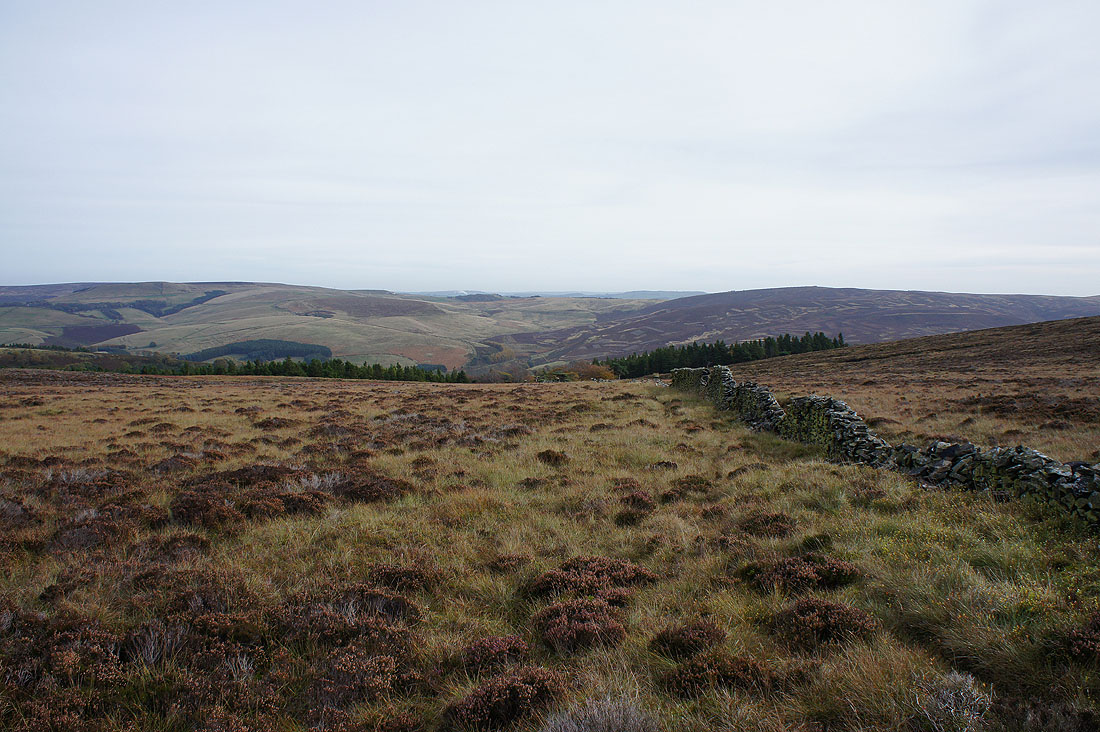
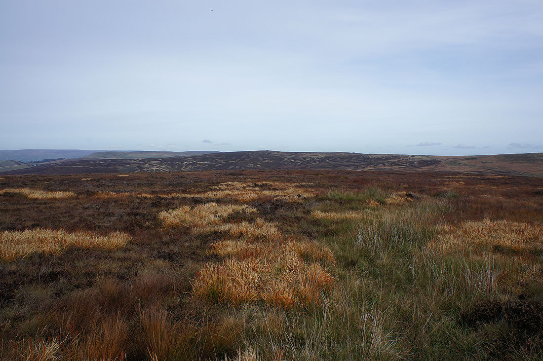
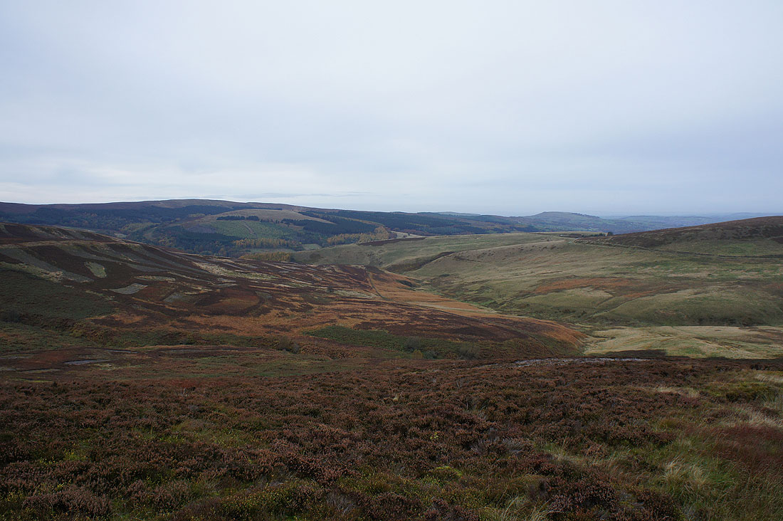
A great range of moorland colours as I follow the path down to the top of Shooter's Clough
Axe Edge Moor from the path out to the Cat & Fiddle road
Shutlingsloe and Macclesfield Forest from above Stake Farm
The Cat & Fiddle Inn ahead. I do have a short walk by the busy road to do.
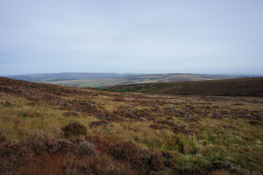
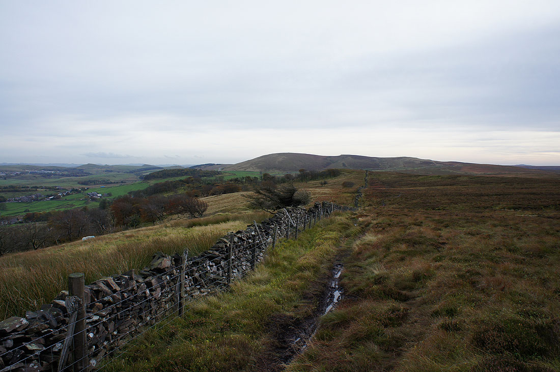
Burbage Edge across Goyt's Moss as..
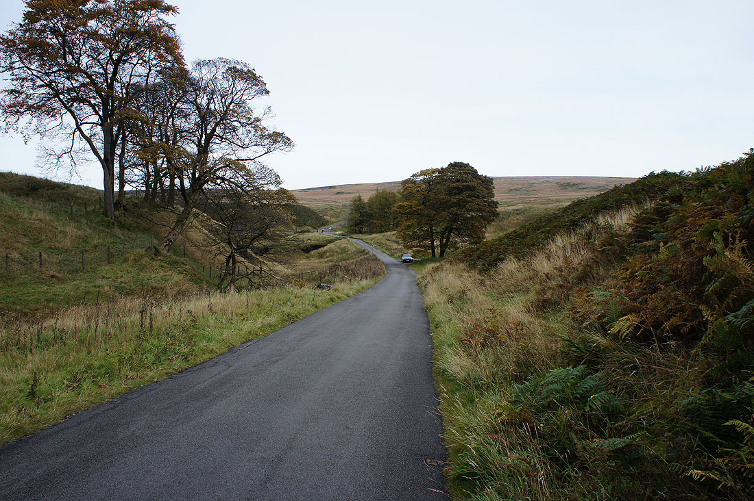
..I walk down the road to Derbyshire Bridge
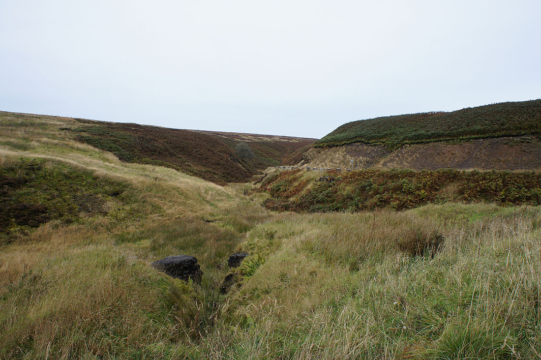
The top of Goyt's Clough at Derbyshire Bridge
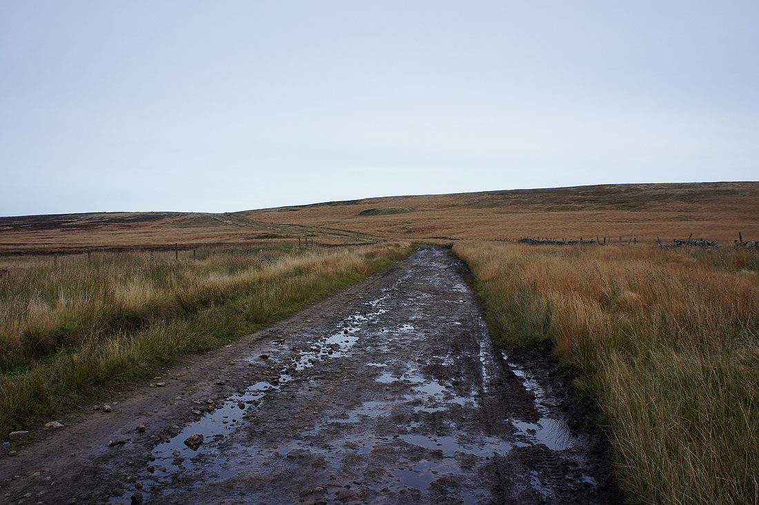
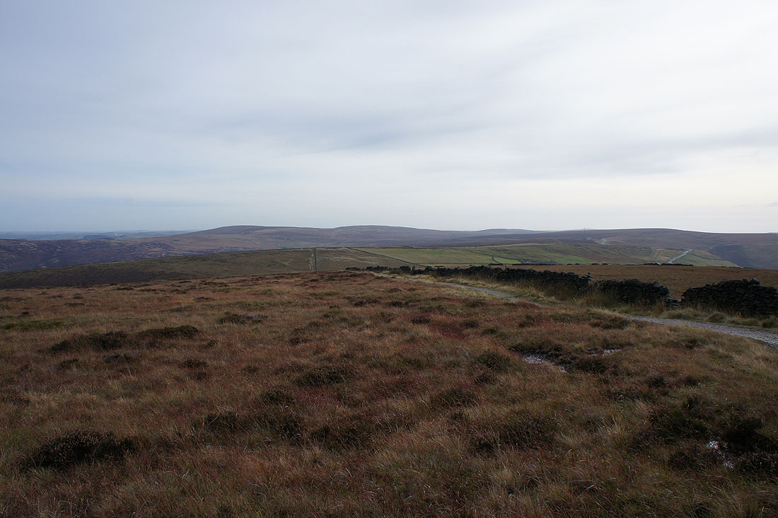
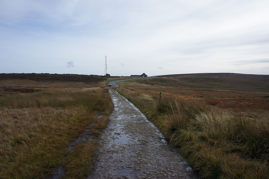
I then left the road for this byway across the moor
Looking across Goyt's Clough to Shining Tor and Cats Tor
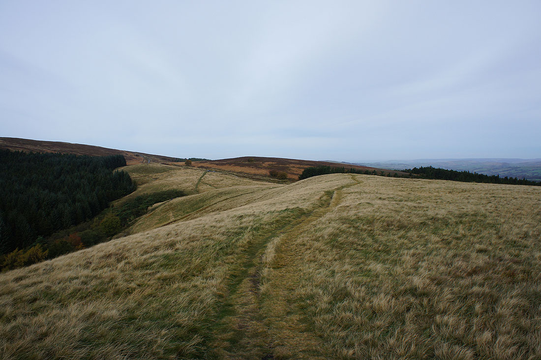
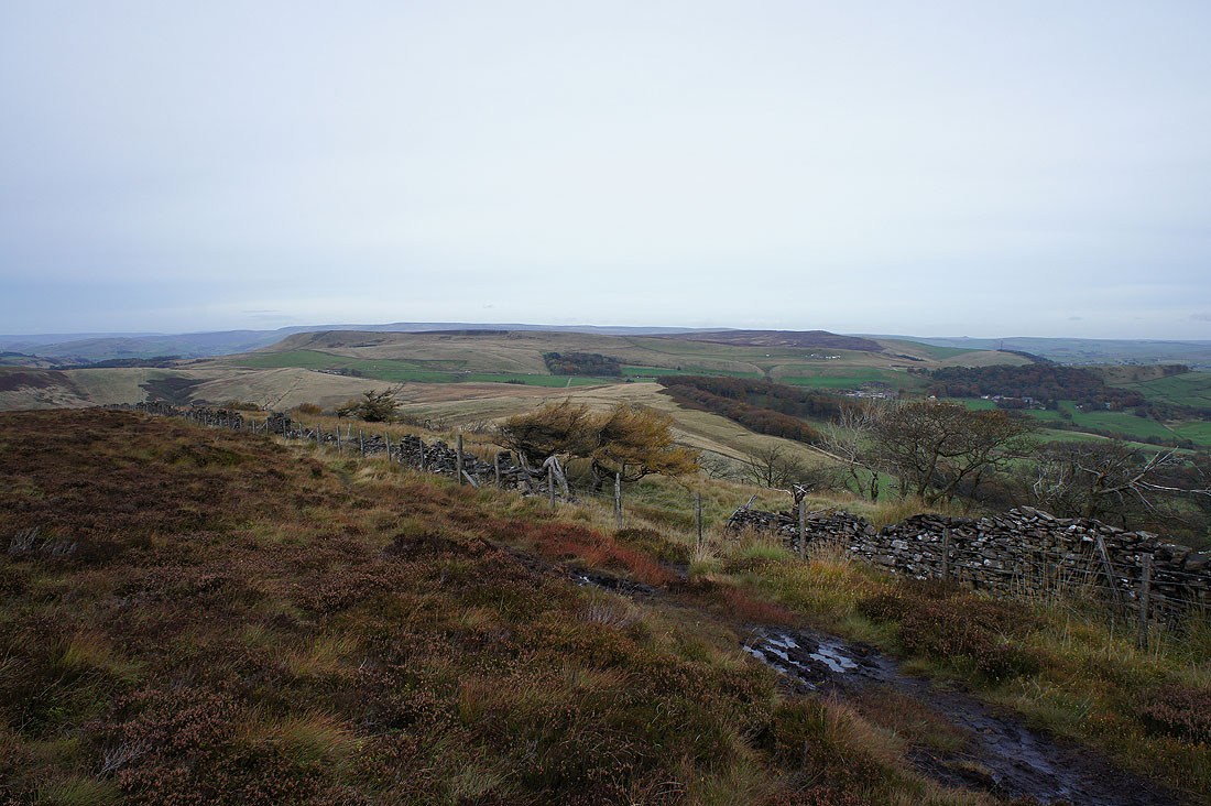
After briefly following the public footpath north from the byway there's a boggy path to reach Burbage Edge
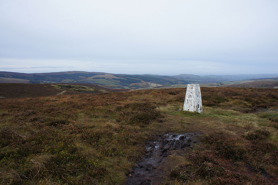
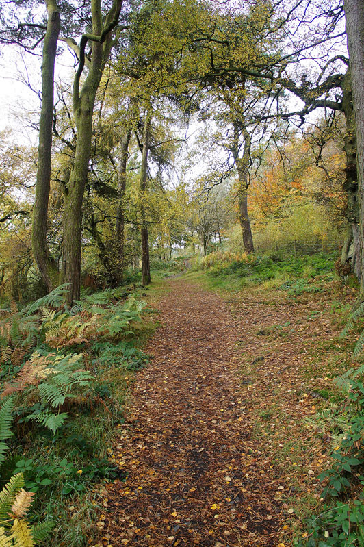
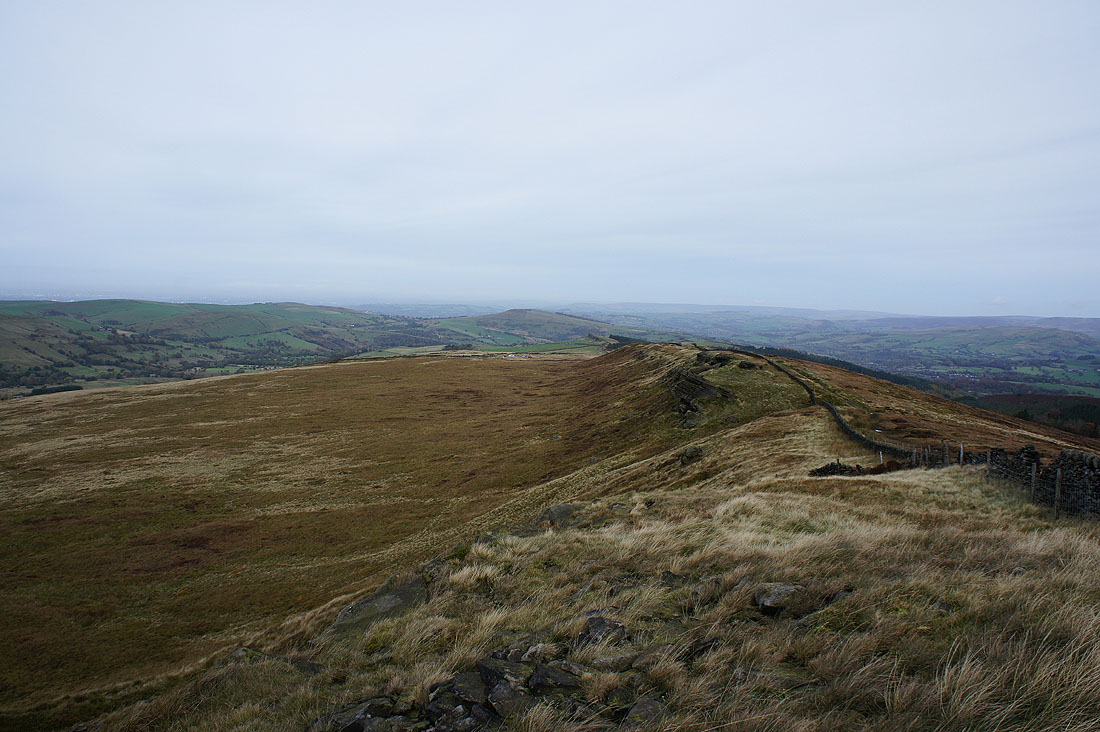
Cats Tor, Whaley Moor and the Goyt Valley from the trig point on Burbage Edge
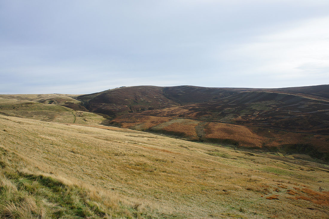
Combs Moss
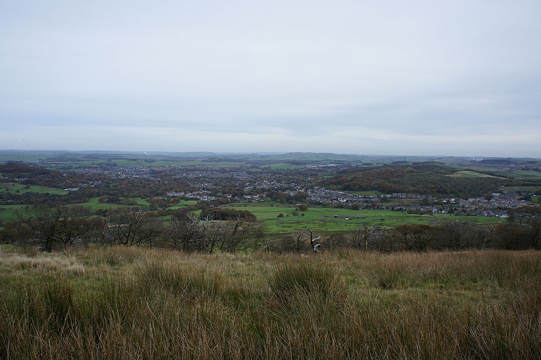
and Buxton below to the east
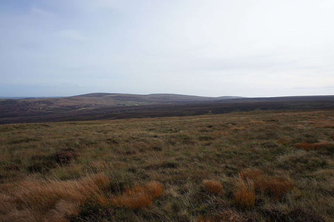
Axe Edge Moor to the south
Wild Moor and Wildmoorstone Brook as I take the at times steep and quite boggy path north off Burbage Edge
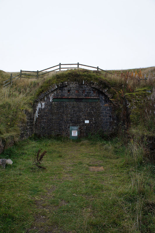
A bricked up tunnel entrance
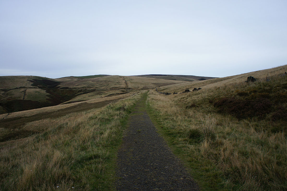
and the trackbed of a dismantled railway. Easy walking for the time being.
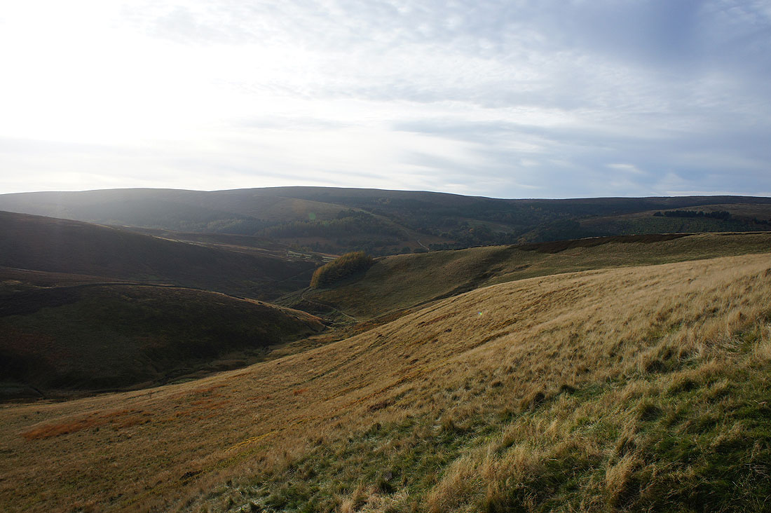
Shining Tor and..
..Burbage Edge as the sun comes out and lights up the moors
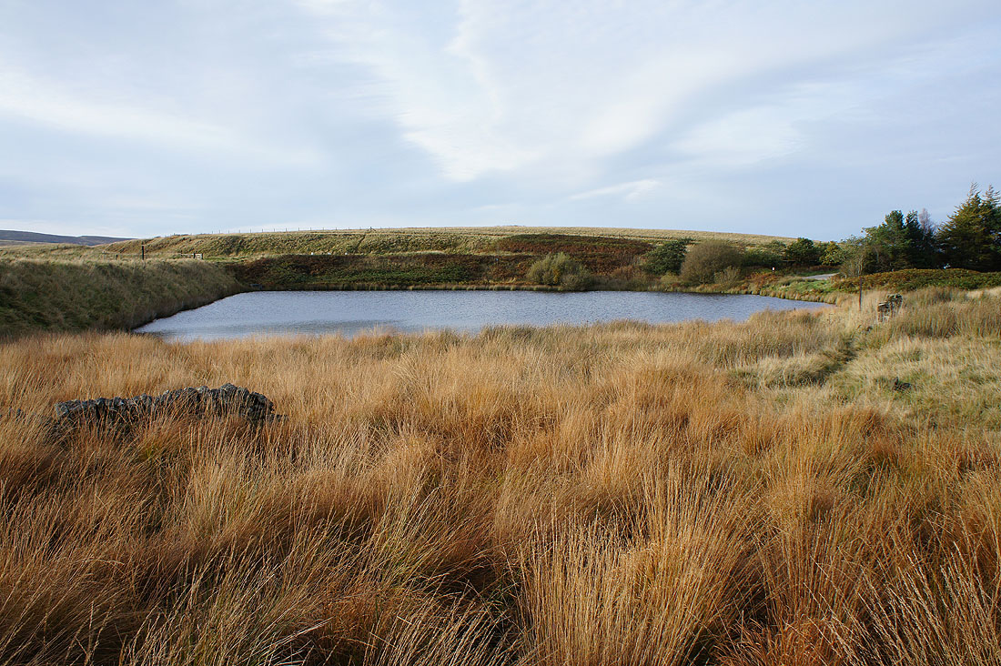
The dismantled railway comes to an end at this little reservoir next to Goyt's Lane
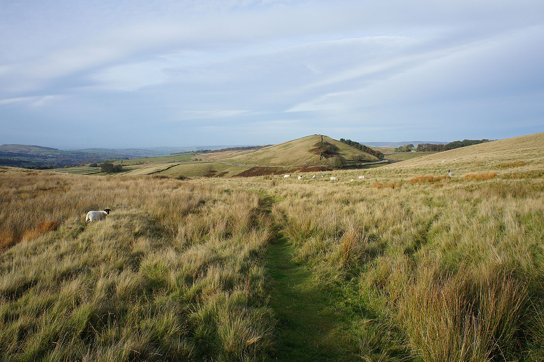
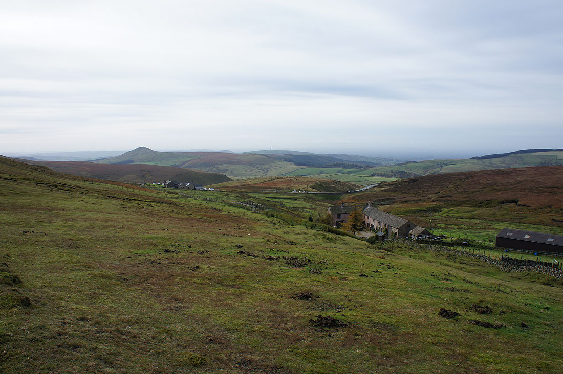
From Goyt's Lane I took the footpath that meets it again lower down opposite Errwood Reservoir. It will save me walking down the road. I like the look of that hill I'm walking towards.
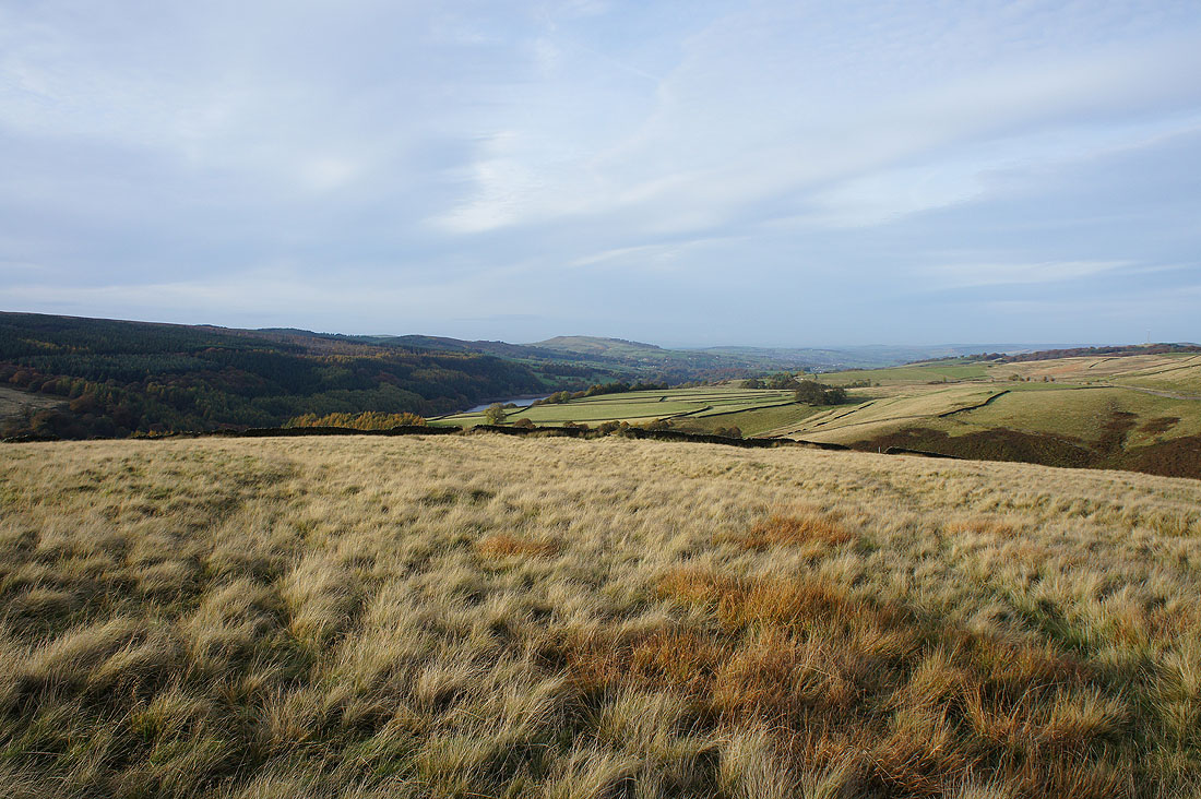
Looking north down the Goyt Valley to Whaley Moor
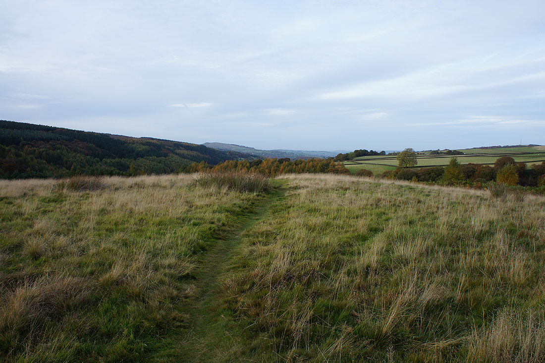
Crossing the top of Bunsal Cob
Back by Errwood Reservoir at the end of a thoroughly enjoyable walk