25th October 2020 - Twiston Moor and Wheathead Height
Walk Details
Distance walked: 11.1 miles
Total ascent: 1838 ft
OS map used: OL21 - South Pennines
Time taken: 6 hrs
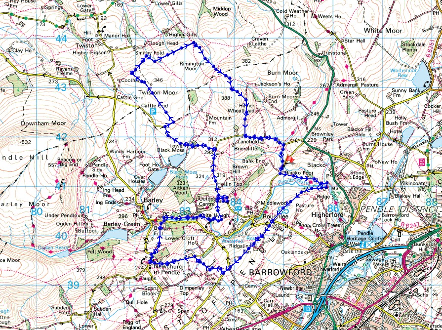
Route description: Blacko Bar Road-Blacko Foot Farm-Pendle Way-Water Meetings-Pasture Lane-Noggarth Cottage-Ridge Lane-Noggarth Lane-Higher Graystones Farm-Jinny Lane-Newchurch in Pendle-Barley Fold-Barley-Pendle Way-White Hough-Stang Top Road-Black Moss Road-Twiston Moor-Rimington Moor-Wheathead Height-Wheathead Lane-Pendle Way-Blacko Bar Road
I may be restricted to walking locally but I consider myself very lucky to have access to some great countryside right on my doorstep. For my walk this weekend I've driven just a couple of miles from home to nearby Blacko for a walk across the moors of the Forest of Pendle. There was a chance of showers in the forecast but none turned up, so I enjoyed a lovely autumn day with lots of sunny spells and great visibility, which meant that I had fantastic views across the Ribble Valley to the Forest of Bowland and the Yorkshire Dales.
From where I parked in the layby on Blacko Bar Road I walked the short distance uphill to Blacko Foot Farm and took the Pendle Way on the left down to Water Meetings. I crossed the bridge over Pendle Water and then took the footpath on the right up the hillside to reach Pasture Lane above Roughlee. I then crossed Pasture Lane and took the track opposite and followed this until it reached Ridgaling Farm, where I then took a footpath along the crest of the hill to Ridge Lane at Noggarth Cottage. After a walk southwest along Noggarth Lane I took the fourth footpath on the right, which I followed north past Higher Graystones Farm and down to Jinny Lane for a walk up the road to Newchurch-in-Pendle. I then walked up Cross Lane through Newchurch-in-Pendle to the left hand bend at the top of the hill where I took the track on the right down to Barley Fold. From Barley Fold I took a footpath down to Barley Road in Barley, where I crossed the road and took the path across a footbridge over White Hough Water and then the Pendle Way to White Hough. At the bridge over White Hough Water I went straight on along a footpath by White Hough Water before heading up a path to join the Pendle Way again to reach Stang Top Road. I then walked north along Stang Top Road, and then west along Black Moss Road to the left hand bend above Upper Black Moss Reservoir, where I took a footpath on the right. This took me east to a junction of walls and a footpath north across Twiston Moor, then east to a track above Smithy Fold and then a footpath across Clough Beck and east across Rimington Moor. At the eastern end of Rimington Moor I took the footpath signposted for Jackson's House, which I followed south up onto Wheathead Height to reach the top of the track down from Wheathead Height to Wheathead Lane. I then walked down Wheathead Lane to the bridge over Admergill Water where I joined the Pendle Way, which I followed south back to where I was parked on Blacko Bar Road.
Total ascent: 1838 ft
OS map used: OL21 - South Pennines
Time taken: 6 hrs
Route description: Blacko Bar Road-Blacko Foot Farm-Pendle Way-Water Meetings-Pasture Lane-Noggarth Cottage-Ridge Lane-Noggarth Lane-Higher Graystones Farm-Jinny Lane-Newchurch in Pendle-Barley Fold-Barley-Pendle Way-White Hough-Stang Top Road-Black Moss Road-Twiston Moor-Rimington Moor-Wheathead Height-Wheathead Lane-Pendle Way-Blacko Bar Road
I may be restricted to walking locally but I consider myself very lucky to have access to some great countryside right on my doorstep. For my walk this weekend I've driven just a couple of miles from home to nearby Blacko for a walk across the moors of the Forest of Pendle. There was a chance of showers in the forecast but none turned up, so I enjoyed a lovely autumn day with lots of sunny spells and great visibility, which meant that I had fantastic views across the Ribble Valley to the Forest of Bowland and the Yorkshire Dales.
From where I parked in the layby on Blacko Bar Road I walked the short distance uphill to Blacko Foot Farm and took the Pendle Way on the left down to Water Meetings. I crossed the bridge over Pendle Water and then took the footpath on the right up the hillside to reach Pasture Lane above Roughlee. I then crossed Pasture Lane and took the track opposite and followed this until it reached Ridgaling Farm, where I then took a footpath along the crest of the hill to Ridge Lane at Noggarth Cottage. After a walk southwest along Noggarth Lane I took the fourth footpath on the right, which I followed north past Higher Graystones Farm and down to Jinny Lane for a walk up the road to Newchurch-in-Pendle. I then walked up Cross Lane through Newchurch-in-Pendle to the left hand bend at the top of the hill where I took the track on the right down to Barley Fold. From Barley Fold I took a footpath down to Barley Road in Barley, where I crossed the road and took the path across a footbridge over White Hough Water and then the Pendle Way to White Hough. At the bridge over White Hough Water I went straight on along a footpath by White Hough Water before heading up a path to join the Pendle Way again to reach Stang Top Road. I then walked north along Stang Top Road, and then west along Black Moss Road to the left hand bend above Upper Black Moss Reservoir, where I took a footpath on the right. This took me east to a junction of walls and a footpath north across Twiston Moor, then east to a track above Smithy Fold and then a footpath across Clough Beck and east across Rimington Moor. At the eastern end of Rimington Moor I took the footpath signposted for Jackson's House, which I followed south up onto Wheathead Height to reach the top of the track down from Wheathead Height to Wheathead Lane. I then walked down Wheathead Lane to the bridge over Admergill Water where I joined the Pendle Way, which I followed south back to where I was parked on Blacko Bar Road.
Route map
© Crown copyright. All rights reserved. License number PU 100034184.
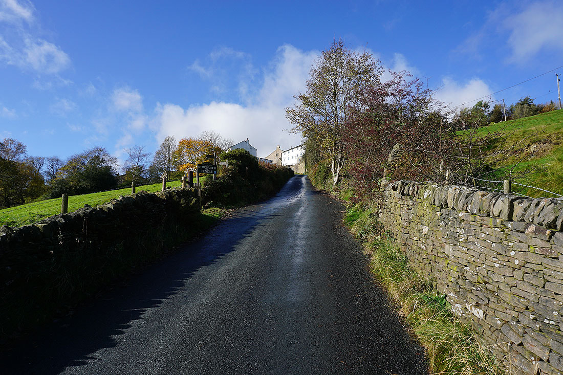
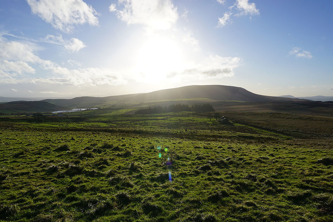
Blacko Hill as I set off on the Pendle Way
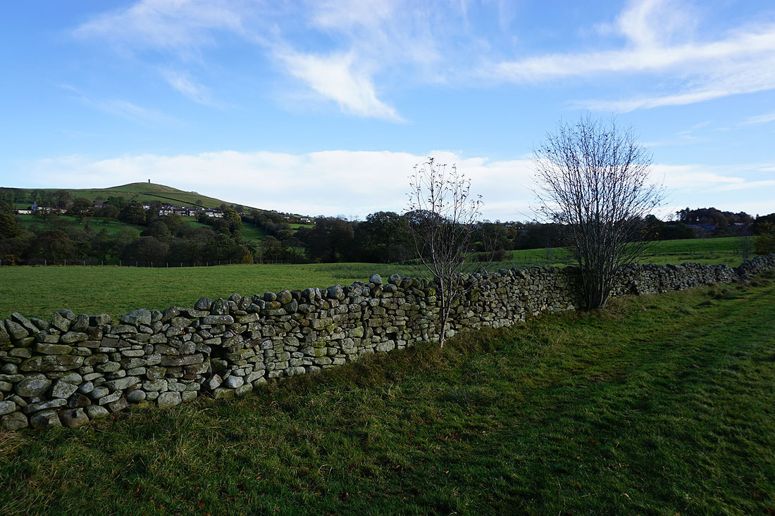
Looking back to the wooded slopes of Brown Hill
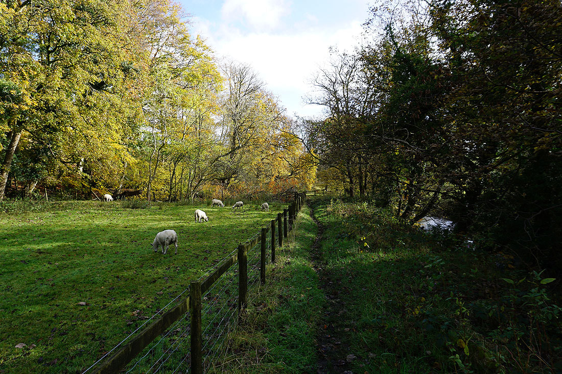
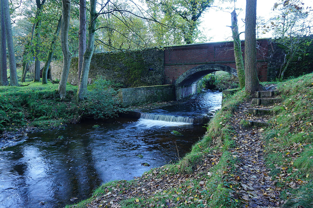
Heading down to Water Meetings
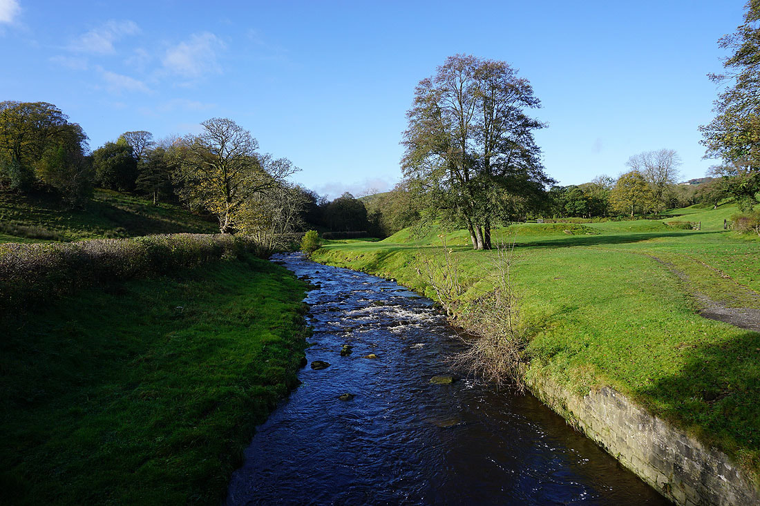
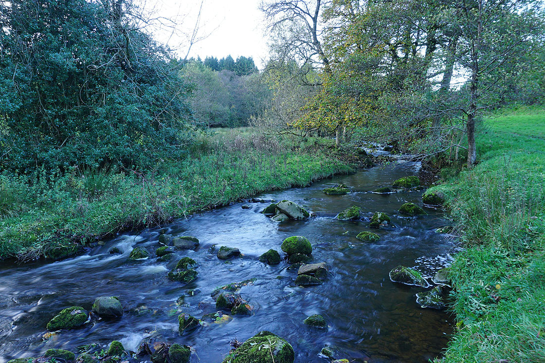
Pendle Water from the bridge at Water Meetings
From Water Meetings I take the footpath up the hillside to Pasture Lane above Roughlee
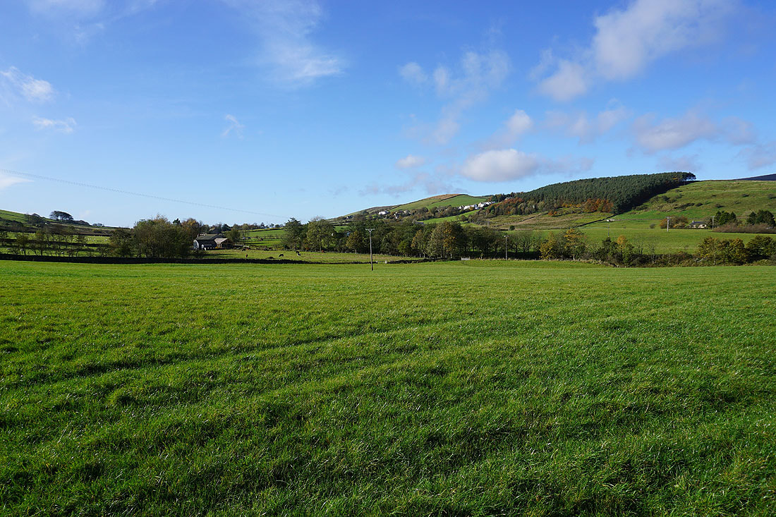
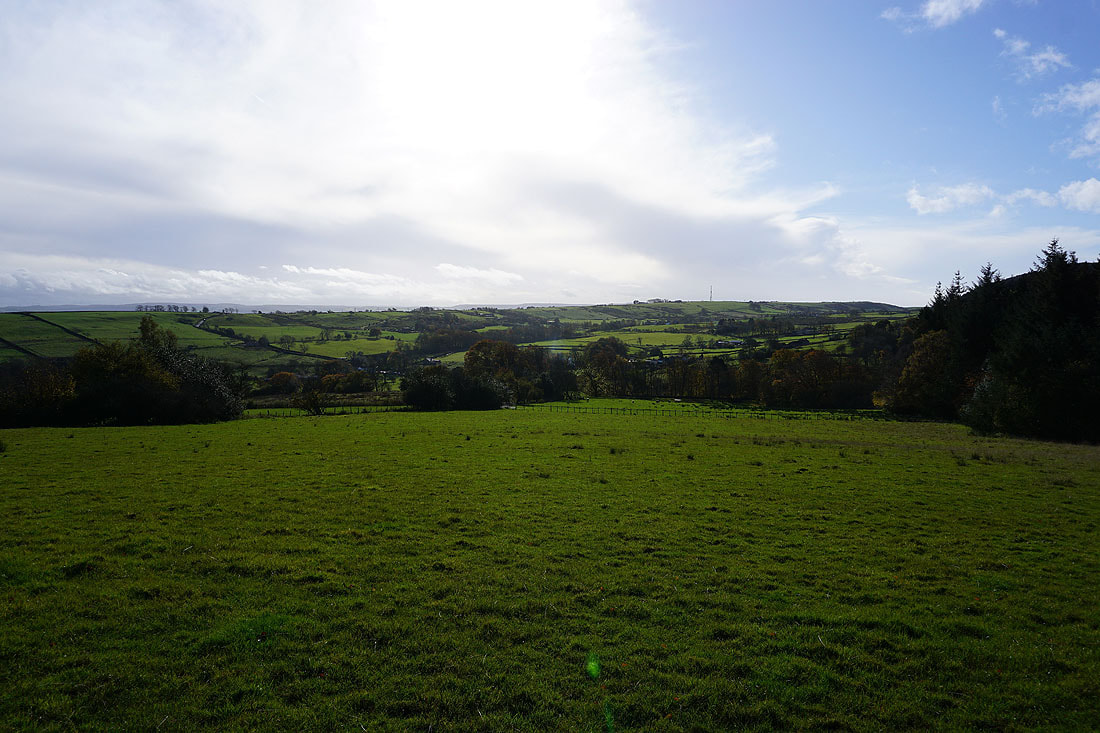
I get a great view across to Pendle Hill, with Roughlee in the valley below
Looking back to Blacko and Blacko Hill
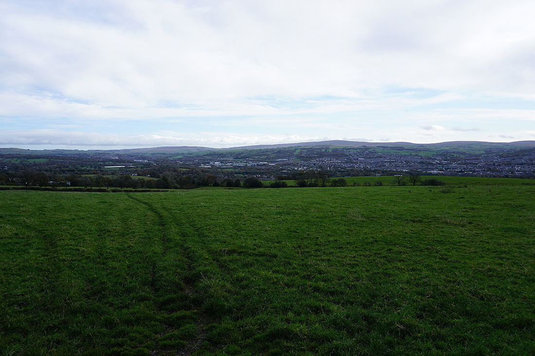
Ickornshaw Moor and Boulsworth Hill in the distance beyond Colne and Nelson
On Noggarth Height, heading for Noggarth Cottage
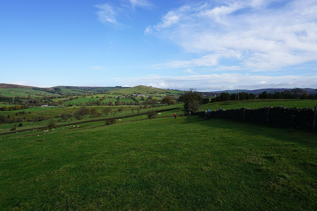
Saddlers Height and Newchurch-in-Pendle with Pendle Hill in the distance, from above Higher Graystones Farm
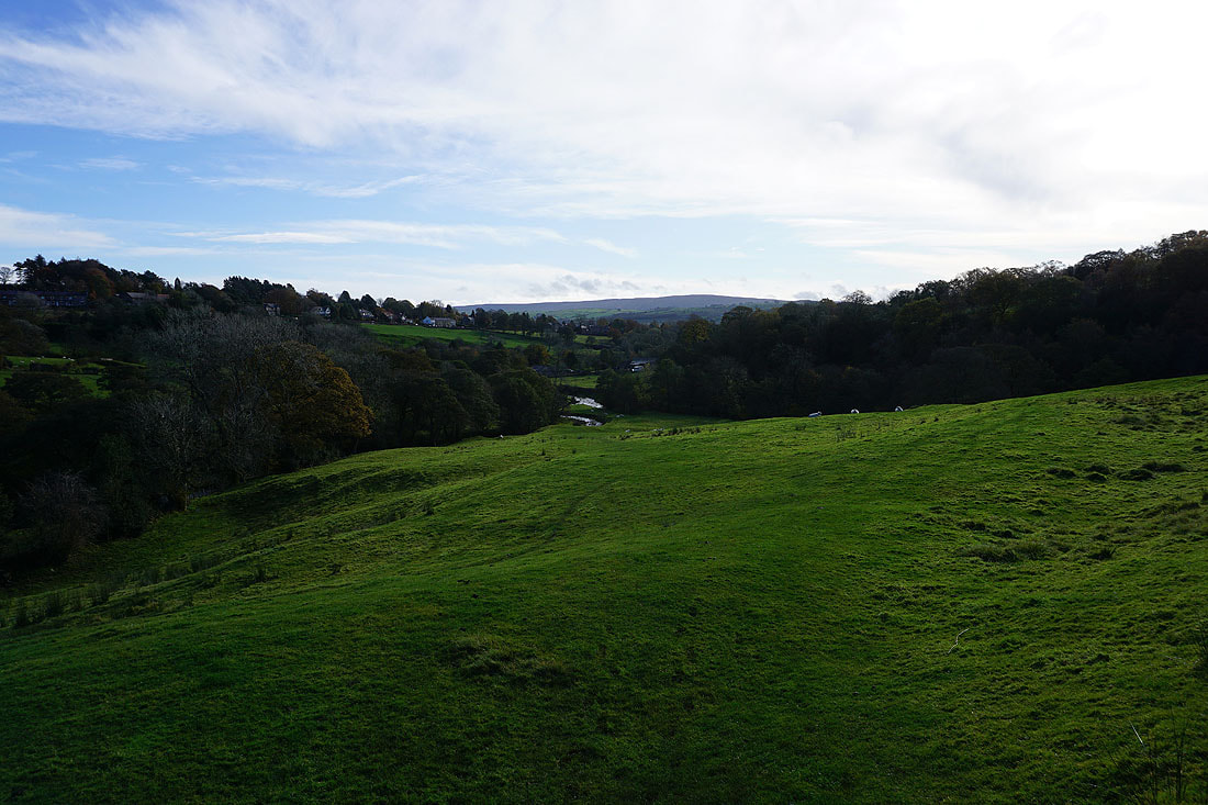
Crossing the valley of Pendle Water..
Spen Height and the hamlet of Spen Brook as I reach Jinny Lane
Heading up Jinny Lane to Newchurch-in-Pendle..
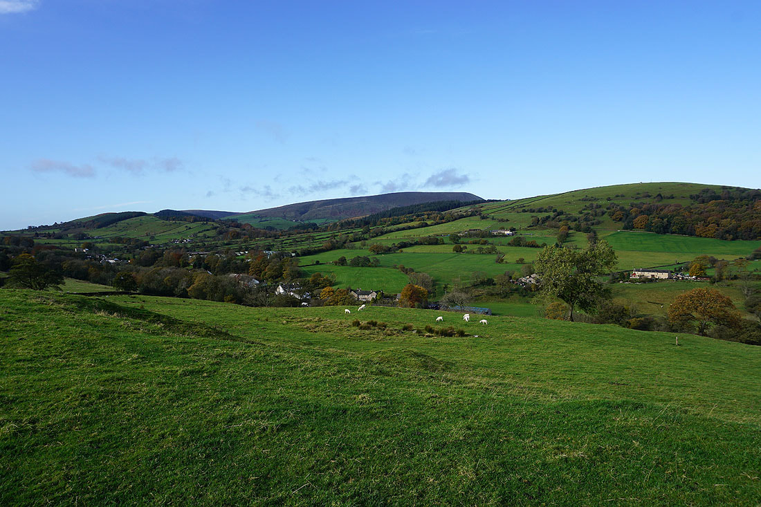
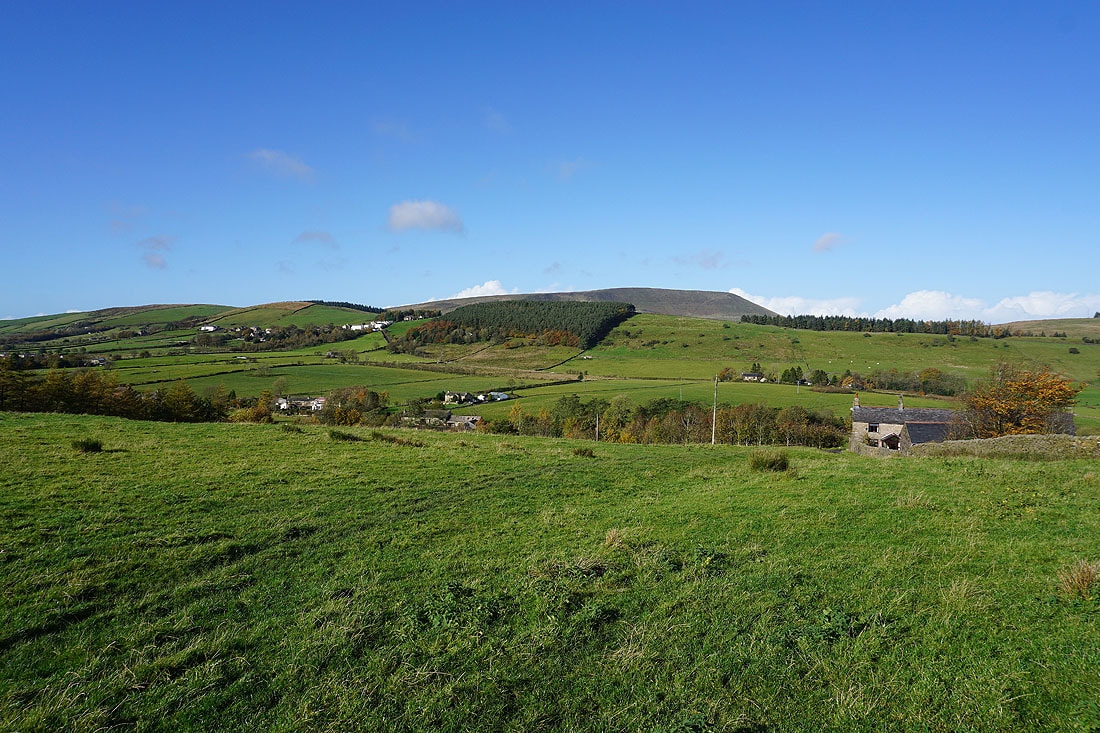
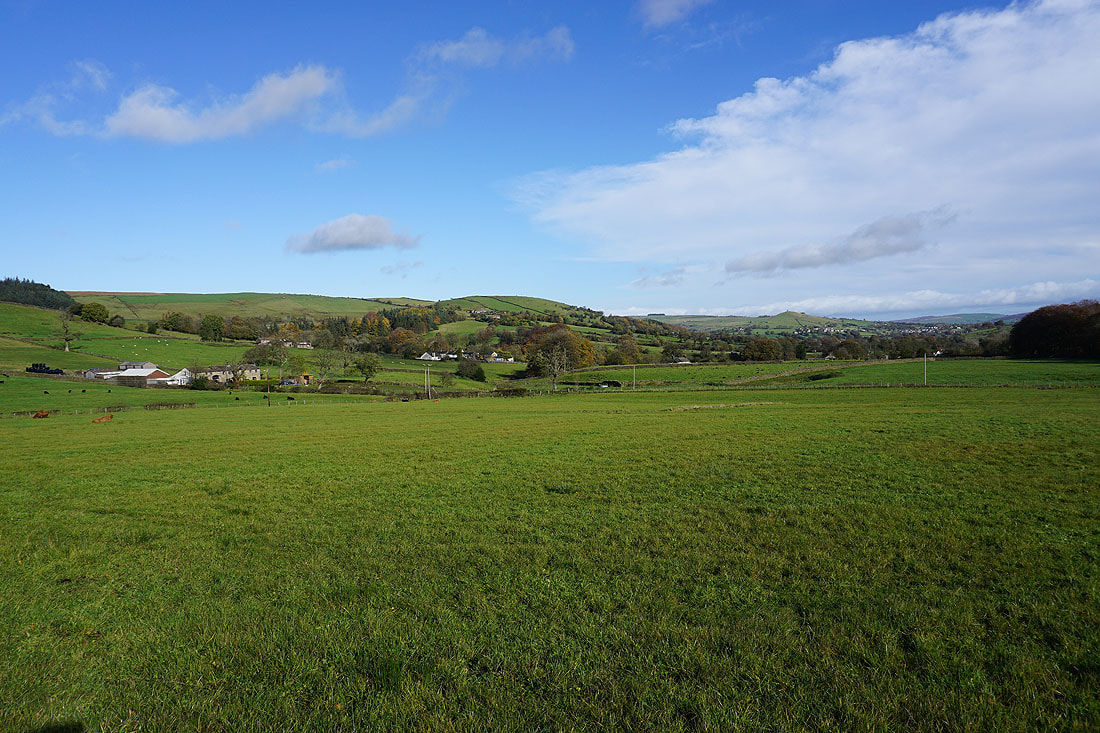
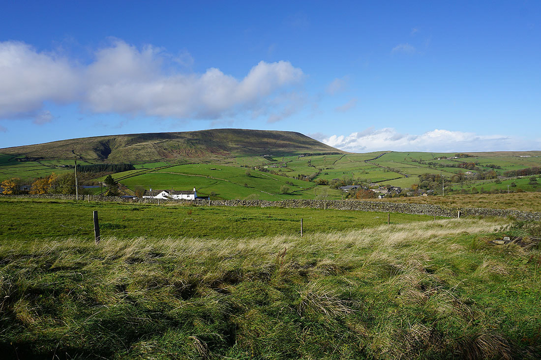
Pendle Hill and Barley from Newchurch-in-Pendle
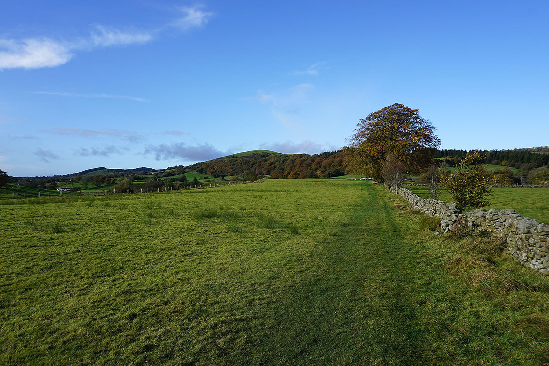
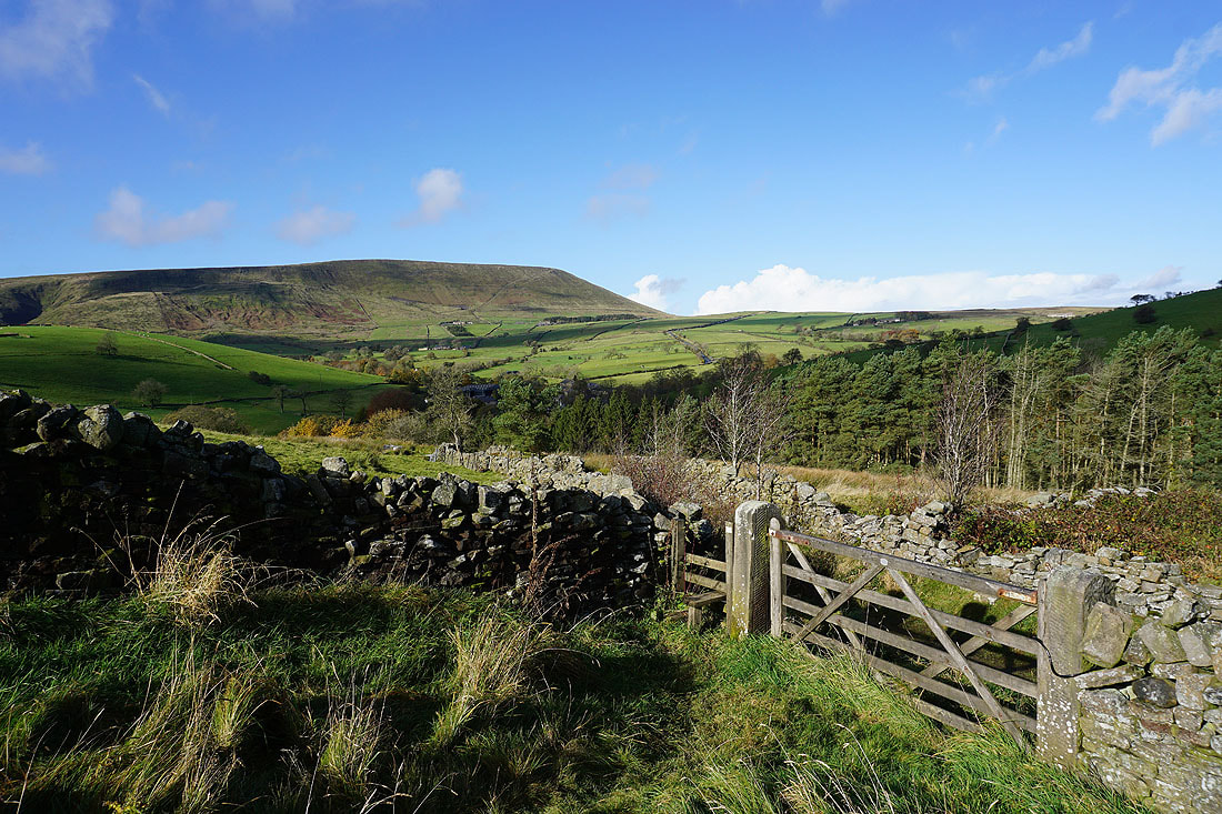
On the footpath to Barley Fold with Aitken Wood and Stang Top Moor ahead
Views of Pendle Hill and Barley from Barley Fold..
On the footpath down to Barley
Can't resist taking another photo of Pendle Hill
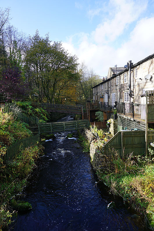
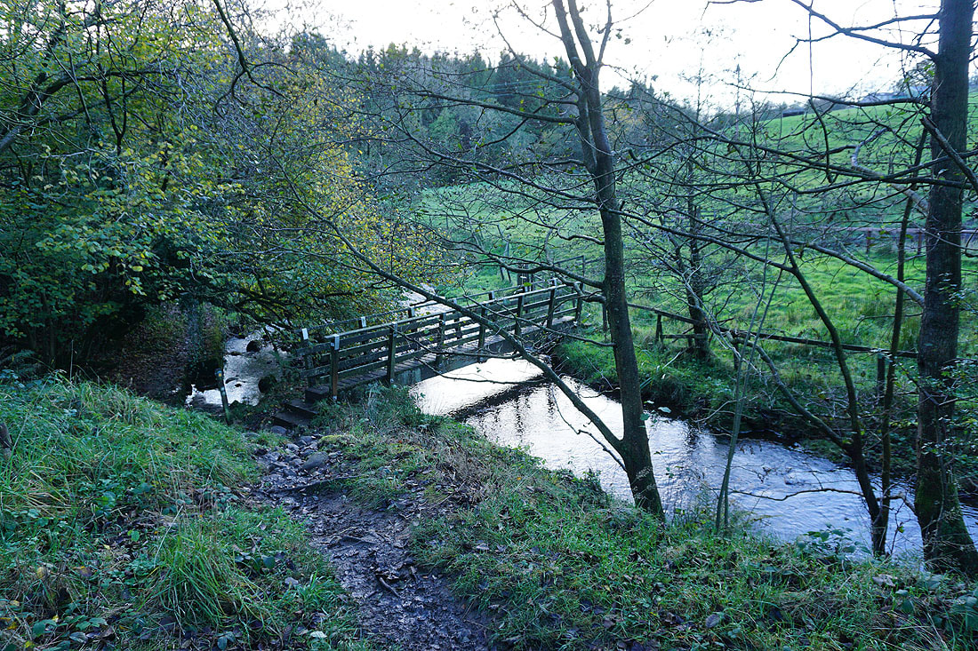
Crossing White Hough Water in Pendle
On the path by White Hough Water to Roughlee
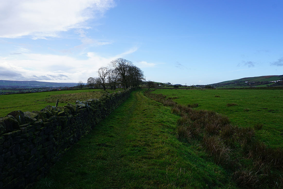
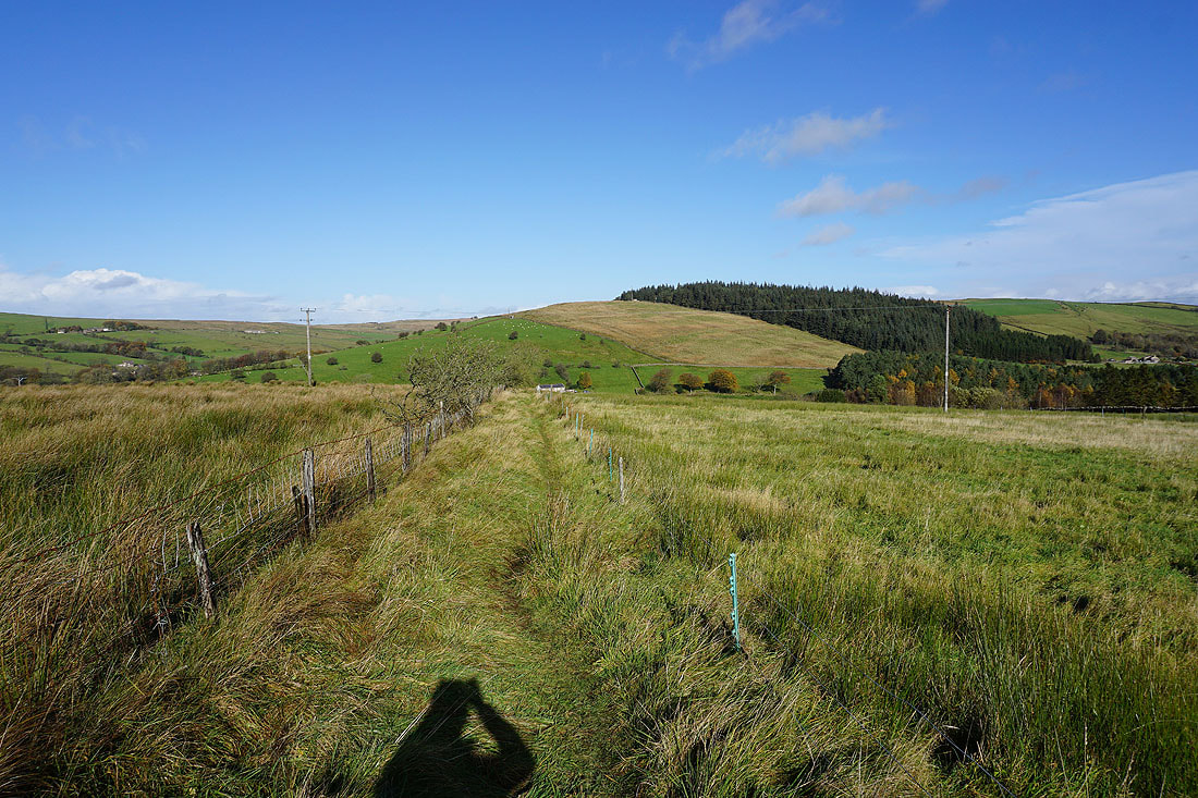
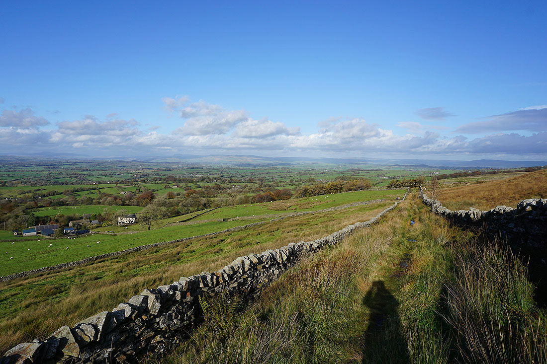
Looking across to Noggarth Height and Spen Height as I follow the footpath up to Stang Top Road
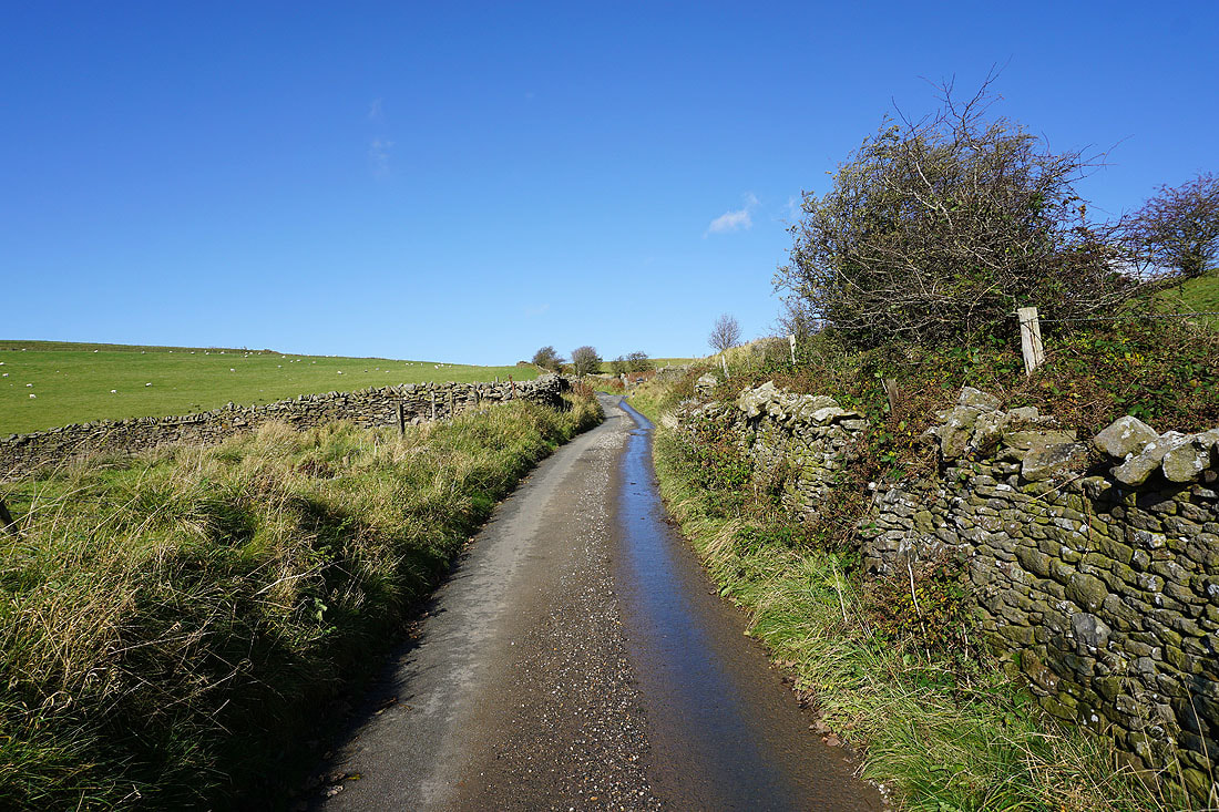
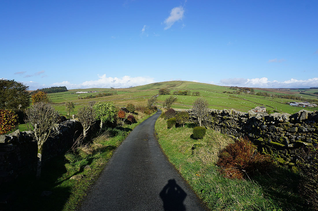
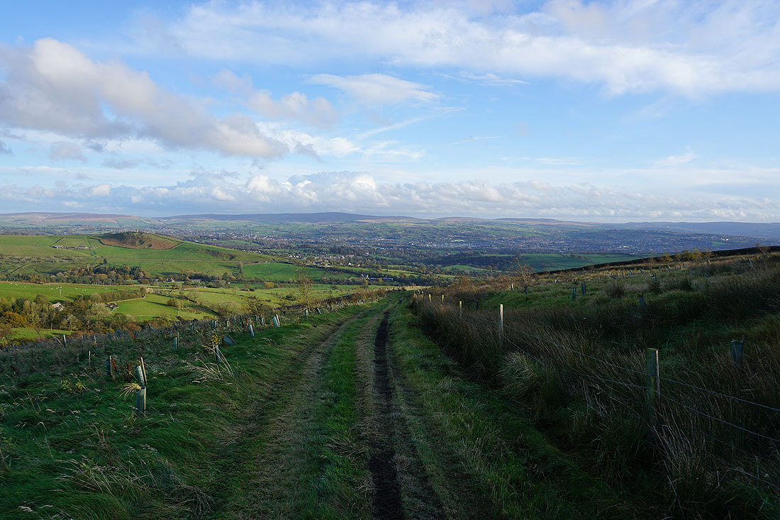
A bit of road walking to come as I head up Stang Top Road
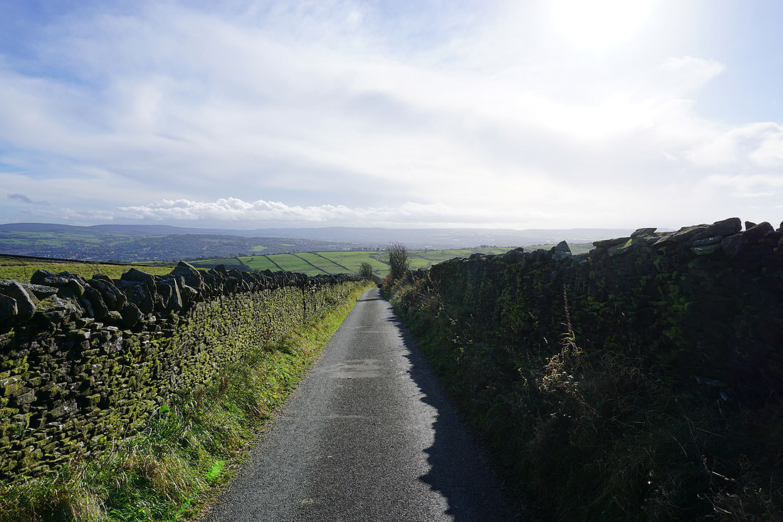
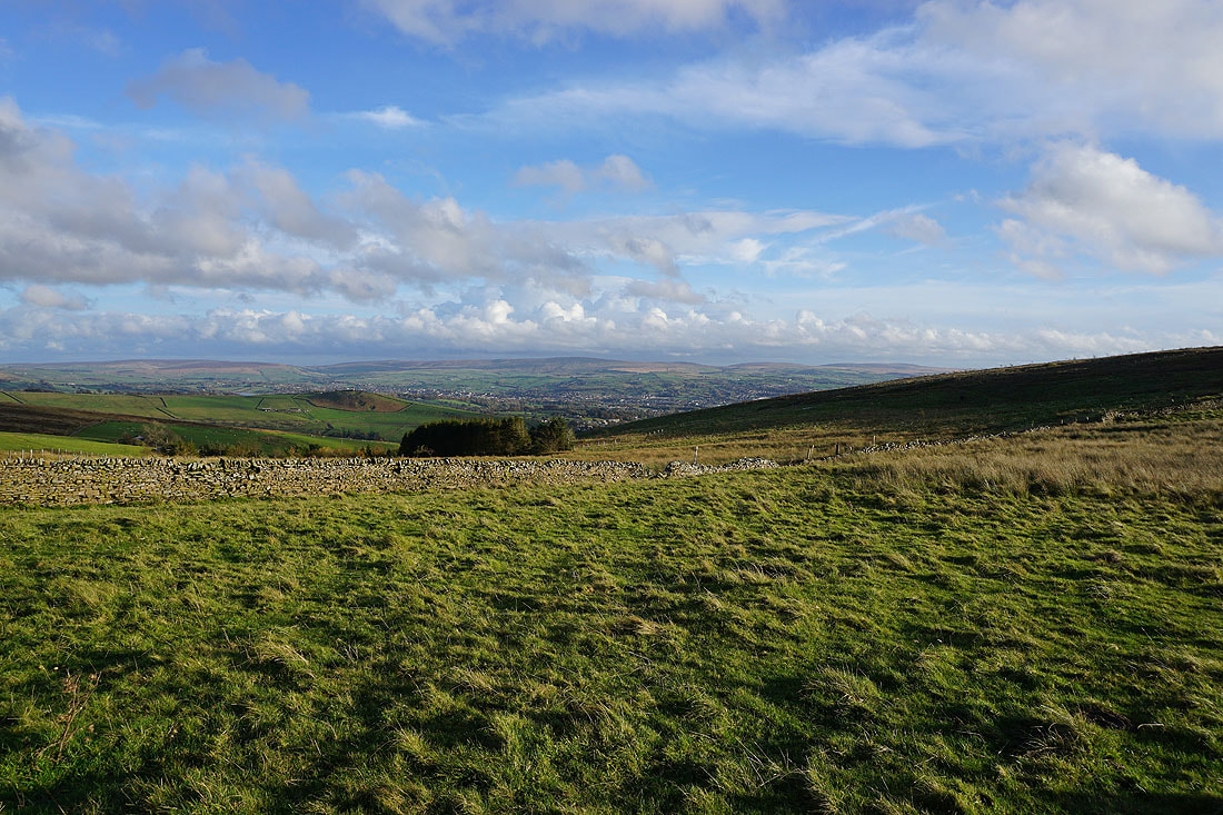
Looking back on Stang Top Road with the moors above Burnley in the distance
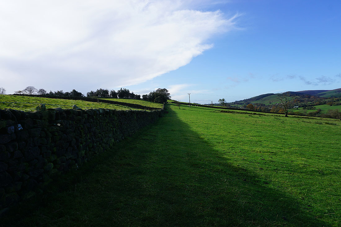
Burn Moor, Blacko Hill and Blacko as I look over the wall to my right
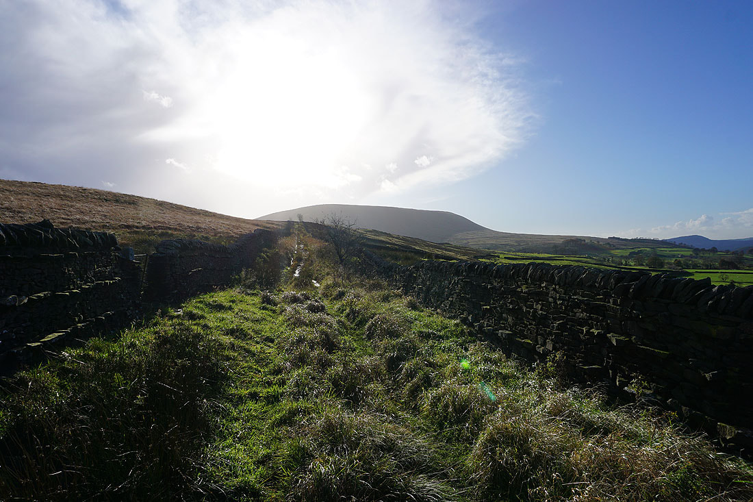
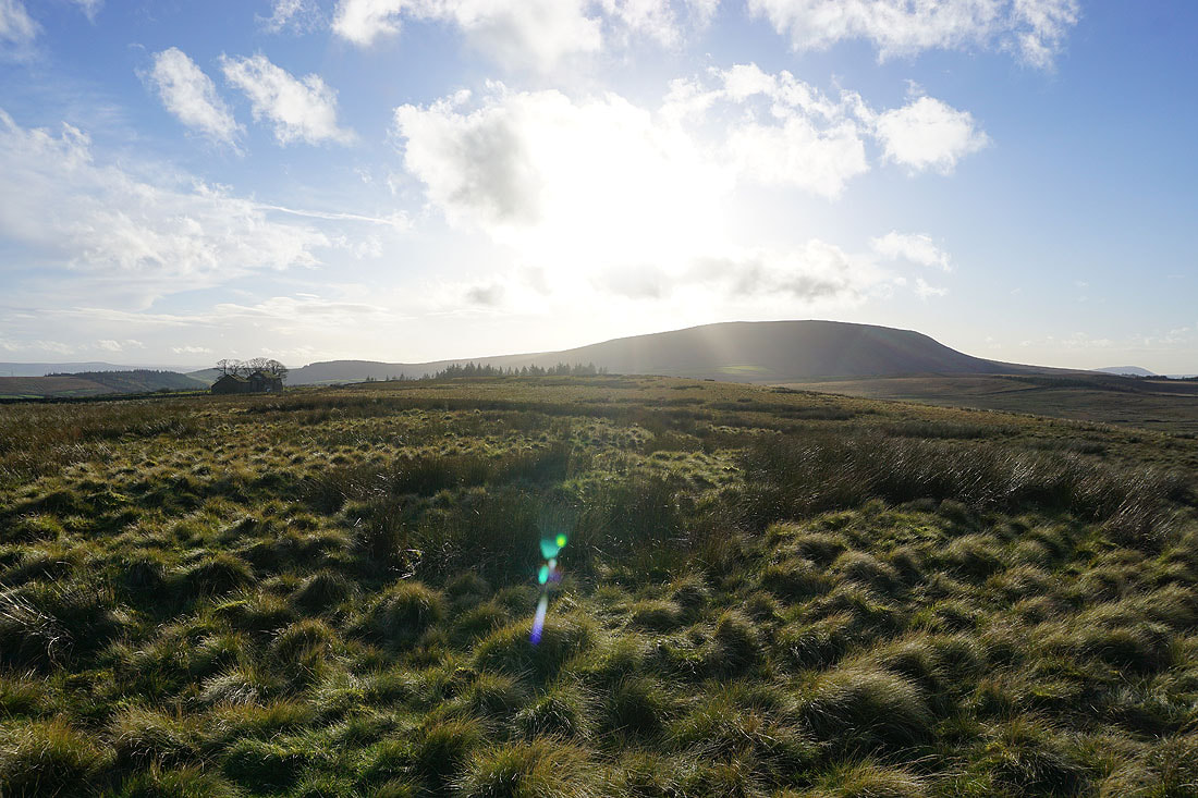
Wheathead Height ahead. I'll be up there in a few hours time.
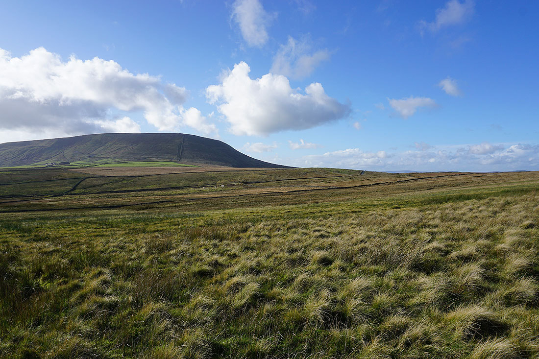
Pendle Hill from Stang Top Road
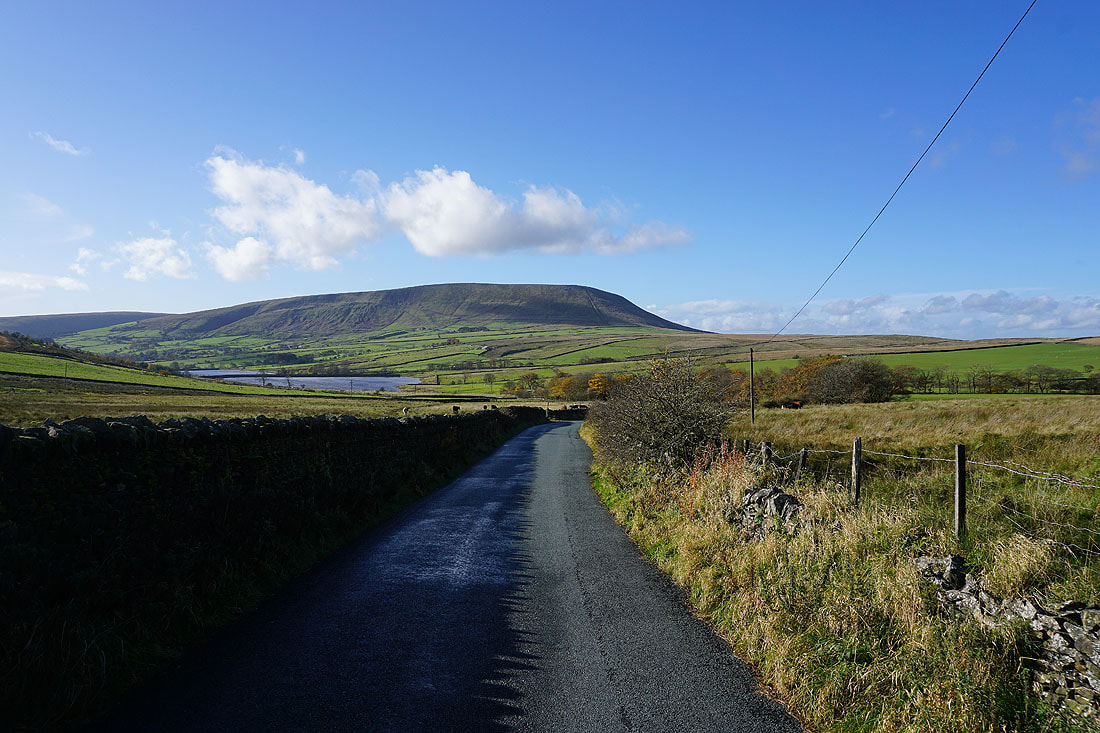
and from Black Moss Road
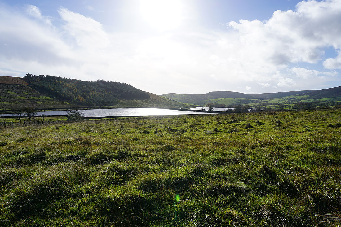
The Black Moss Reservoirs from Black Moss Road
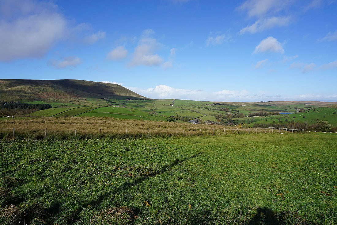
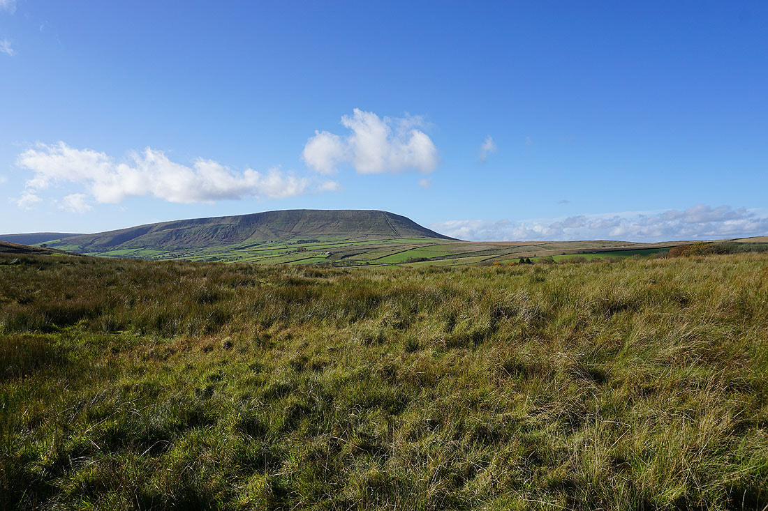
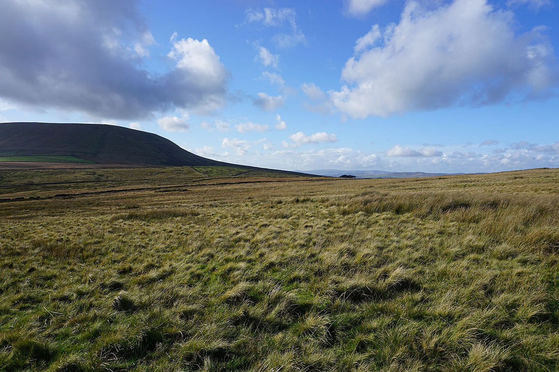
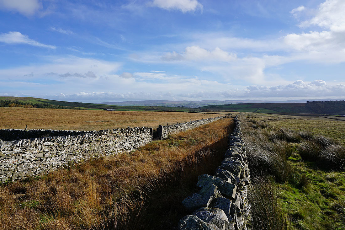
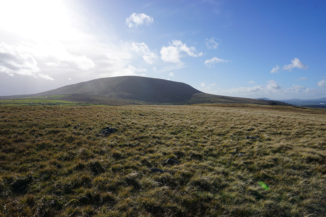
Pendle Hill as I reach Twiston Moor
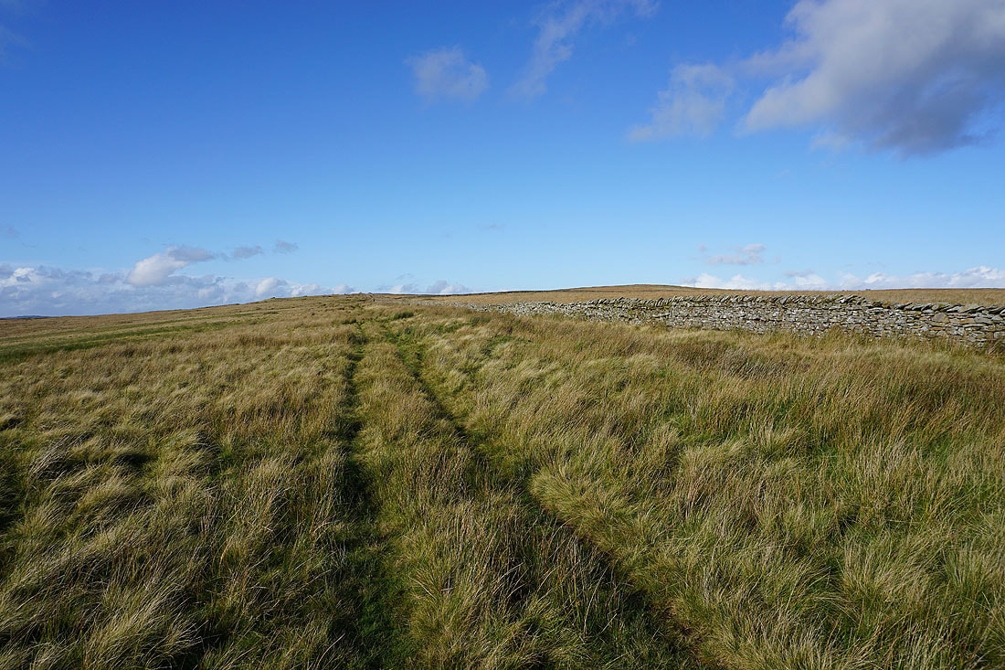
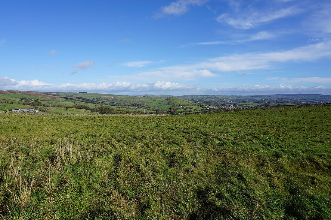
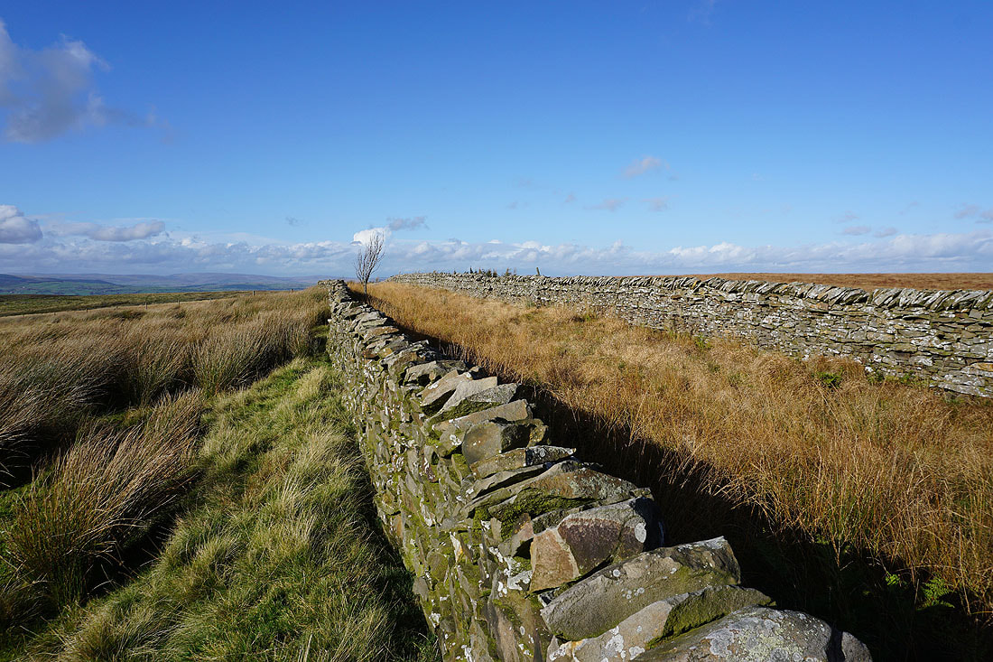
Heading north across Twiston Moor
The Forest of Bowland appears in the distance
I briefly thought about using this track across the moor but it was really waterlogged..
More of the Forest of Bowland appears as I approach the northern end of the moor..
..along with the first glimpses of the western fells of the Yorkshire Dales
The impressive profile of Pendle Hill
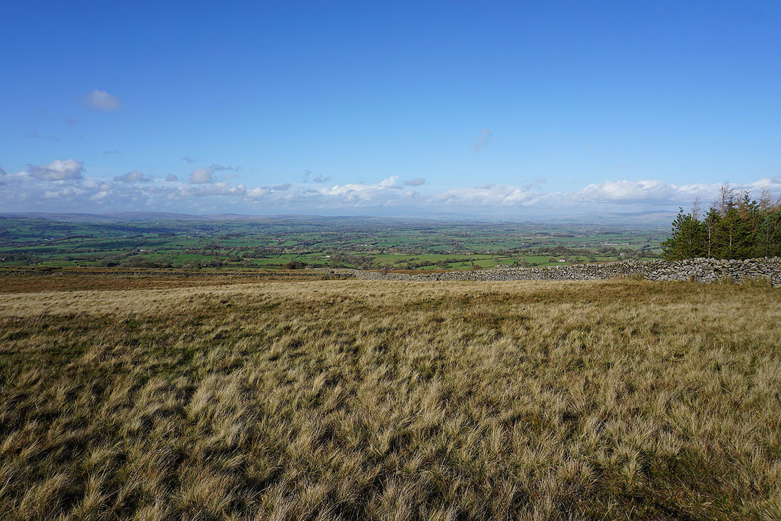
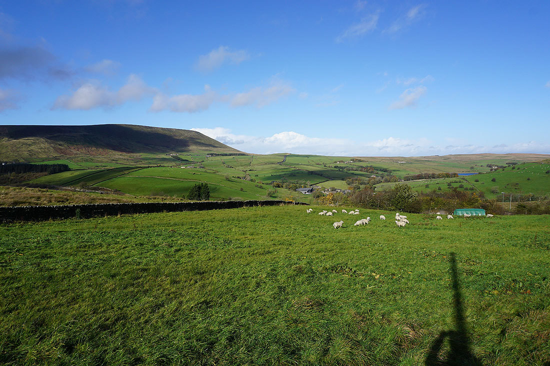
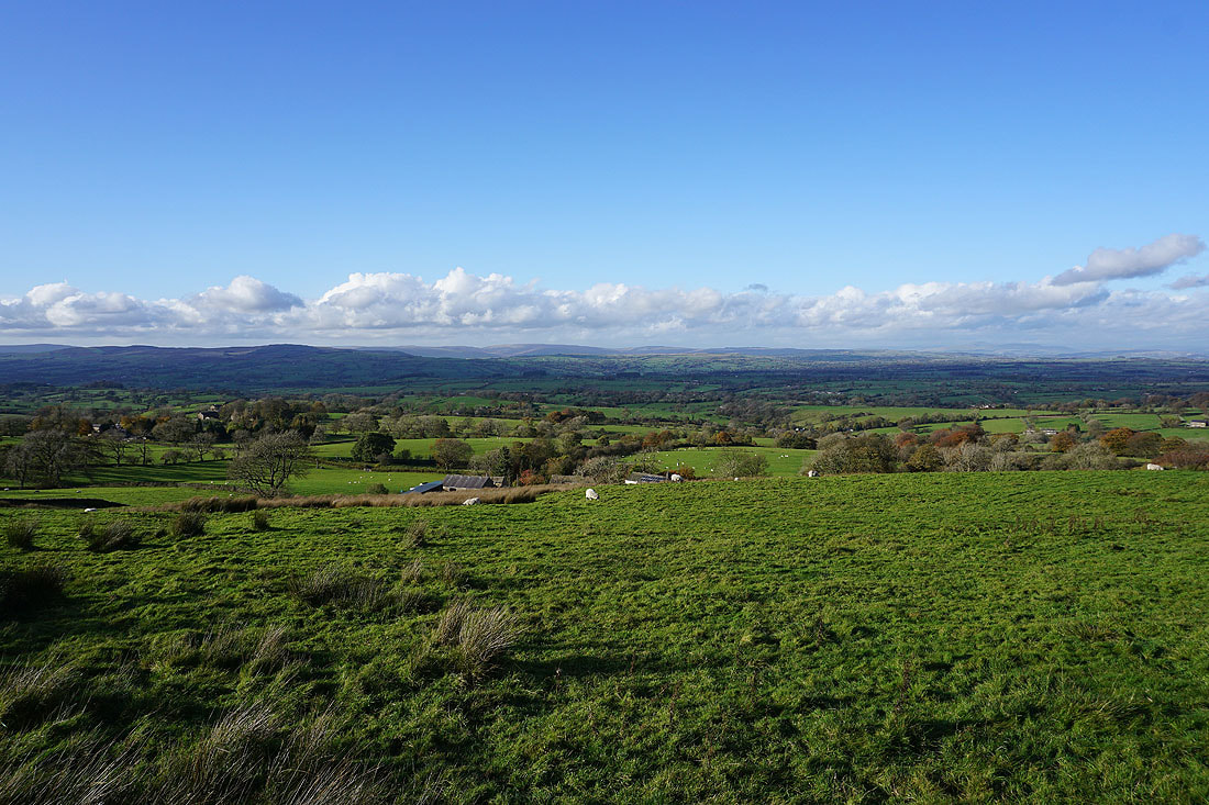
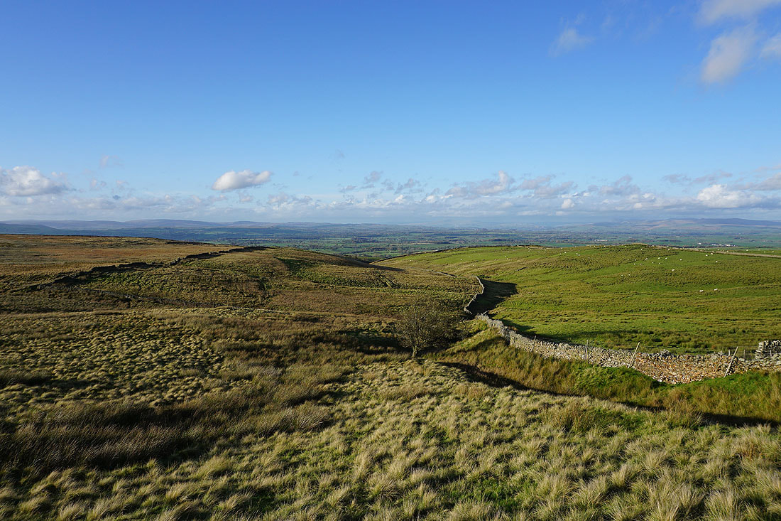
The fantastic view across the Ribble Valley to the Yorkshire Dales, including Ingleborough and Penyghent, from Twiston Moor
and from above Smithy Fold
Then there's Ingleborough, Penyghent, the hills above Settle and Malham, and Great Whernside in the distance from the track above Smithy Fold
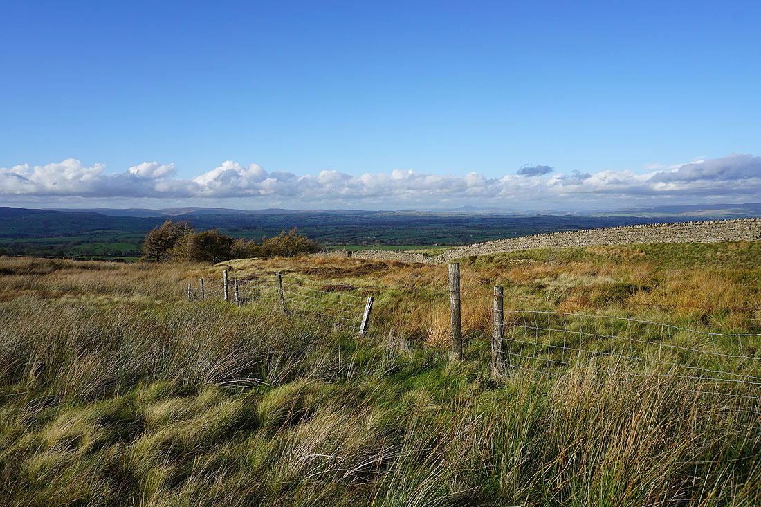
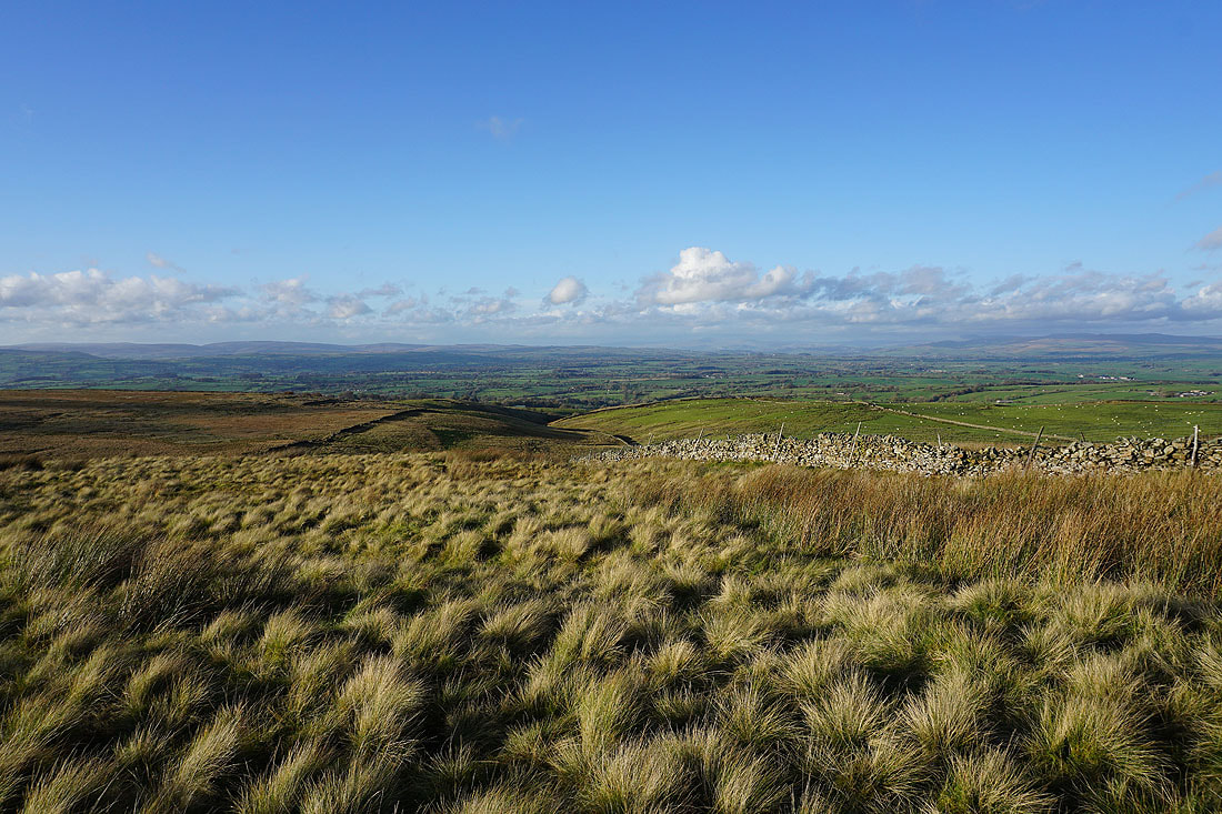
Looking across the Ribble Valley to the Forest of Bowland
and back to Pendle Hill
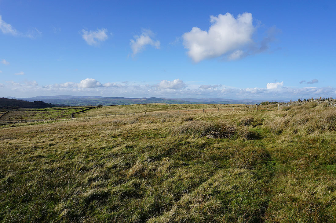
The Forest of Bowland and Ingleborough from the western end of Rimington Moor

Pendle Hill..
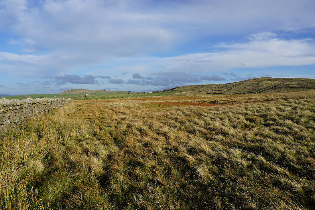
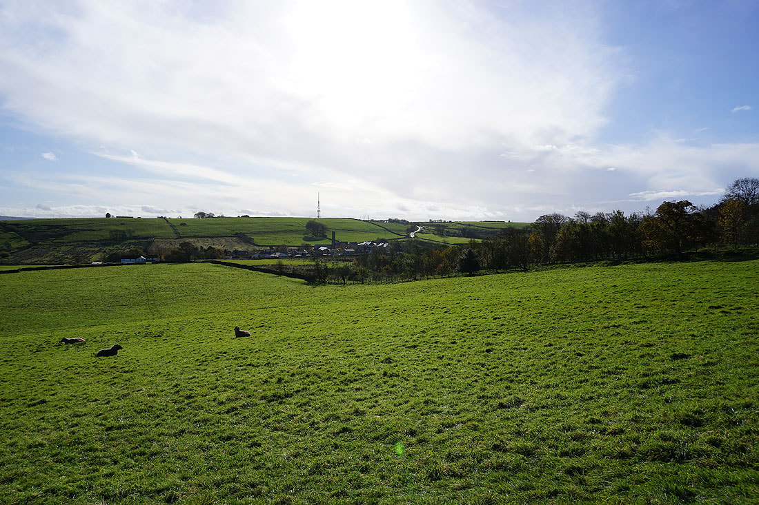
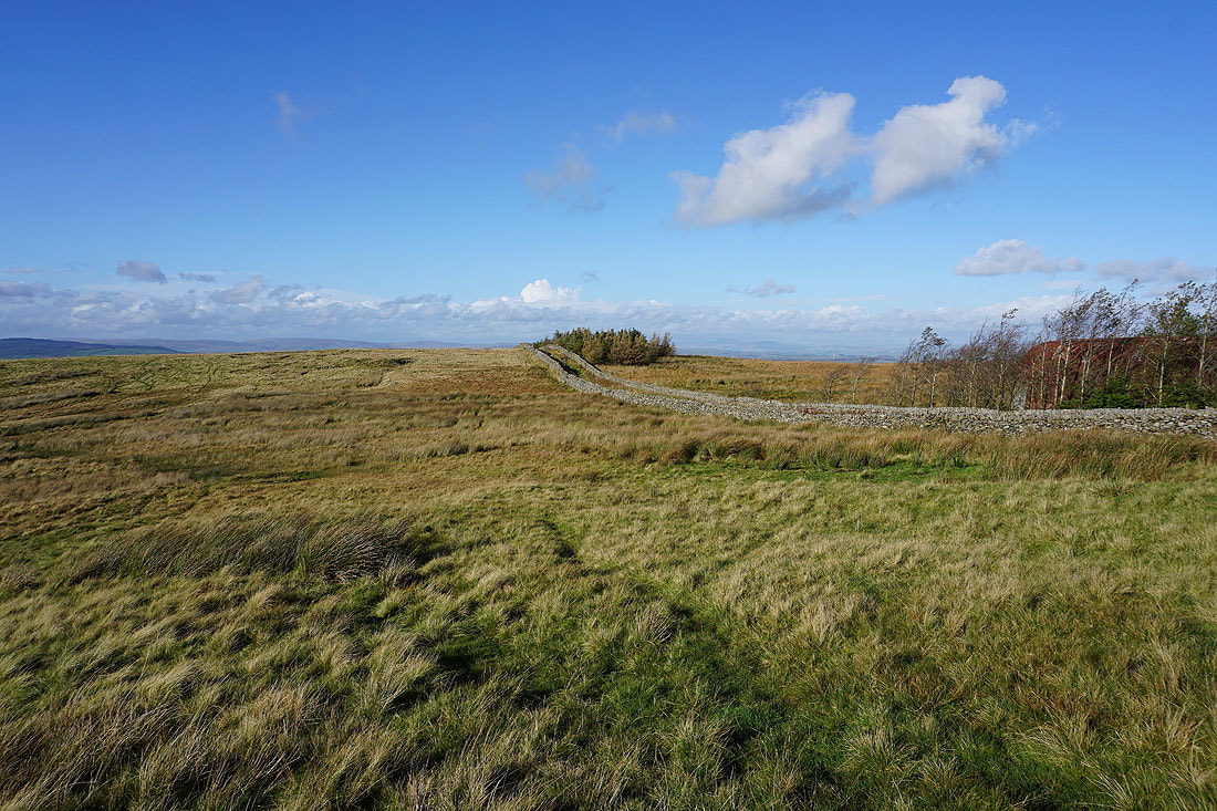
..and Weets Hill and Wheathead Height as I follow the footpath east across Rimington Moor
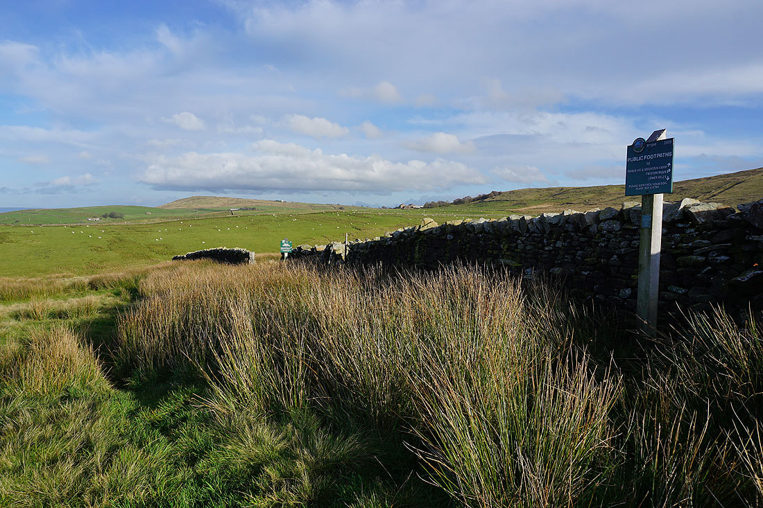
These Peak and Northern Footpath Society signs are new. I'm taking the footpath signposted to Jackson's House from the far one.
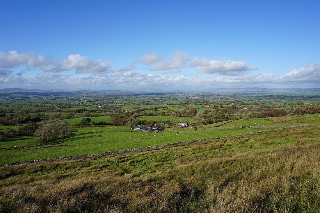
A glorious view across the Ribble Valley to the Forest of Bowland, Ingleborough and Penyghent as I head south up onto Wheathead Height
The ruins of Firber House, and Pendle Hill
One last shot of that view to the north
The Black Moss Reservoirs and Pendle Hill
Boulsworth Hill in the distance as I reach the southern end of Wheathead Height
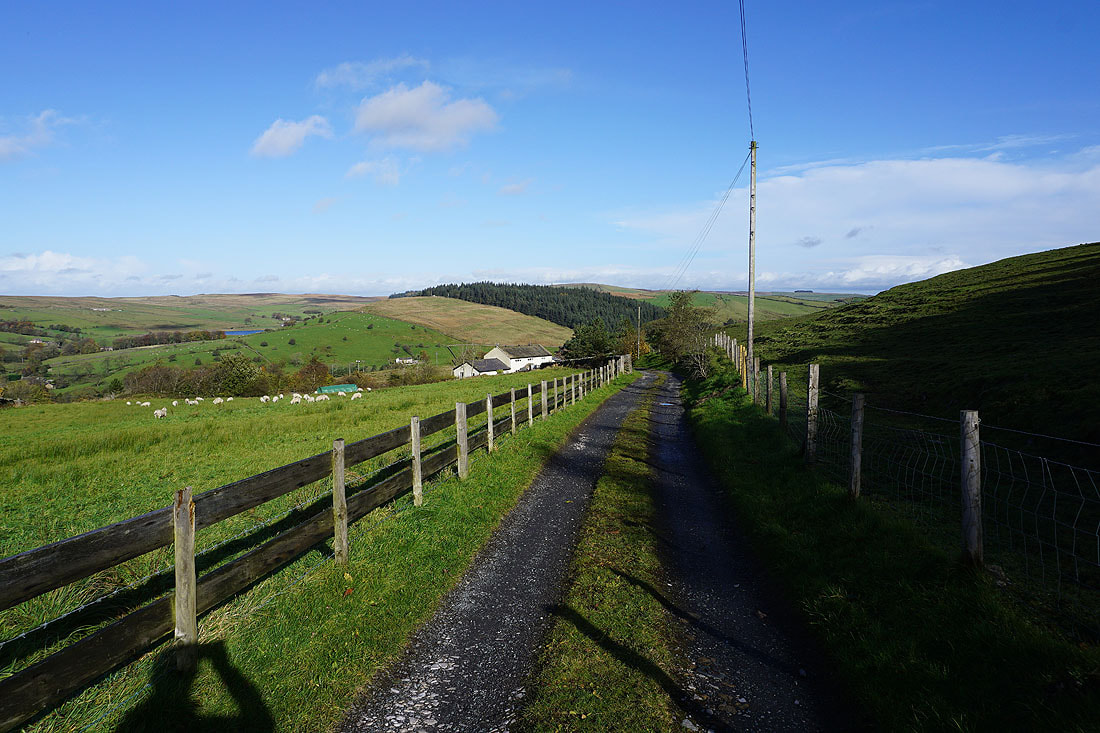
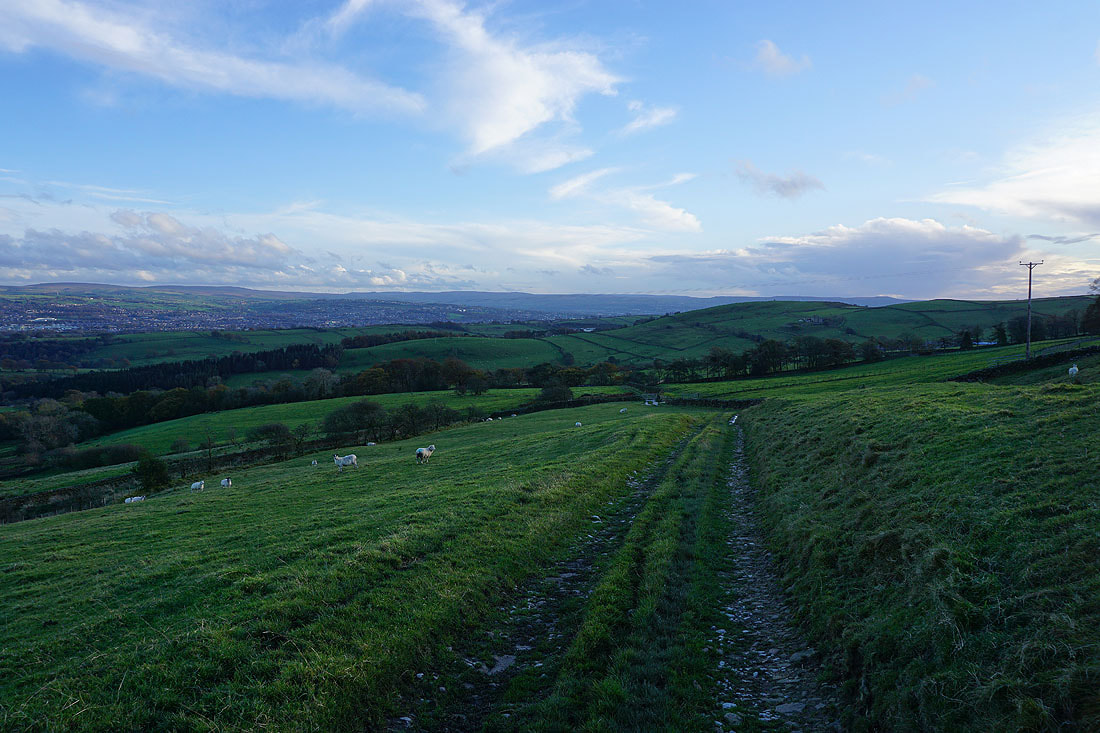
Following the track from Wheathead Height down to Wheathead Lane..
I leave Wheathead Lane for the Pendle Way at the bridge over Admergill Water
I don't cross this footbridge over Admergill Water, but keep by the banks of Admergill Water back to Blacko Bar Road..