25th September 2011 - Around Whalley & the River Calder
Walk Details
Distance walked: 6.0 miles
Total ascent: 884 ft
OS map used: 287 - West Pennine Moors
Time taken: 3 hrs
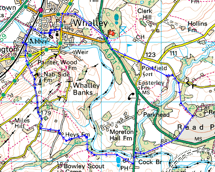
Route description: Spring Wood picnic site (A671)-Portfield Road-Portfield-Read Old Bridge-Read Park-Cock Bridge (A680)-River Calder-Heys Farm-Berry's Lane-Shawcliff Lane-Whalley Old Road-Old Sol's Bridge-Whalley Abbey-Whalley-Spring Wood picnic site (A671)
P.S. It has been brought to my attention (February 2022) that there's no link from the public footpath that ends at Heys Farm through to Berry's Lane. If the route below is attempted then an alternative will need to be sought.
A walk around the countryside near Whalley in the Ribble valley. On leaving the Spring Wood picnic site on the A671 I turned left along the main road and then quickly left again onto the side road signposted to Sabden. I followed the lane up to the T-junction with Portfield Lane where I went straight across and onto the field footpath that goes down to Read Old Bridge. I then followed a path through Read Park turning right onto the driveway that leads out to the A671. Take the bridleway on the opposite side of the road. This will bring you out onto the A680 at Cock Bridge. Turn left here and follow the main road for 100yds or so until you see a pub where the footpath is signposted into the field beside it. Follow the path beside the River Calder. After crossing a slab-bridge over Dean Brook head uphill beside a sunken ditch and on the edge of woodland. This path will bring you to Heys Farm. Go through the farm and onto Berry's Lane and then turn right onto Shawcliff Lane. I then followed the lane for about 1 km and then took the field footpath downhill and across Whalley Old Road, down to Whalley viaduct and across the River Calder. I then turned right onto the road that goes through the gatehouse of the abbey. Follow this road into Whalley and then turn left when the main road is reached. Turn right at the mini-roundabout and follow the road and then path out across fields back to the car park.
Total ascent: 884 ft
OS map used: 287 - West Pennine Moors
Time taken: 3 hrs
Route description: Spring Wood picnic site (A671)-Portfield Road-Portfield-Read Old Bridge-Read Park-Cock Bridge (A680)-River Calder-Heys Farm-Berry's Lane-Shawcliff Lane-Whalley Old Road-Old Sol's Bridge-Whalley Abbey-Whalley-Spring Wood picnic site (A671)
P.S. It has been brought to my attention (February 2022) that there's no link from the public footpath that ends at Heys Farm through to Berry's Lane. If the route below is attempted then an alternative will need to be sought.
A walk around the countryside near Whalley in the Ribble valley. On leaving the Spring Wood picnic site on the A671 I turned left along the main road and then quickly left again onto the side road signposted to Sabden. I followed the lane up to the T-junction with Portfield Lane where I went straight across and onto the field footpath that goes down to Read Old Bridge. I then followed a path through Read Park turning right onto the driveway that leads out to the A671. Take the bridleway on the opposite side of the road. This will bring you out onto the A680 at Cock Bridge. Turn left here and follow the main road for 100yds or so until you see a pub where the footpath is signposted into the field beside it. Follow the path beside the River Calder. After crossing a slab-bridge over Dean Brook head uphill beside a sunken ditch and on the edge of woodland. This path will bring you to Heys Farm. Go through the farm and onto Berry's Lane and then turn right onto Shawcliff Lane. I then followed the lane for about 1 km and then took the field footpath downhill and across Whalley Old Road, down to Whalley viaduct and across the River Calder. I then turned right onto the road that goes through the gatehouse of the abbey. Follow this road into Whalley and then turn left when the main road is reached. Turn right at the mini-roundabout and follow the road and then path out across fields back to the car park.
Route map
© Crown copyright. All rights reserved. License number PU 100034184.
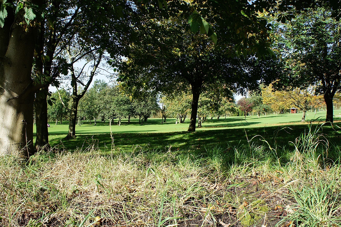
Whalley golf course as I set off from the picnic site
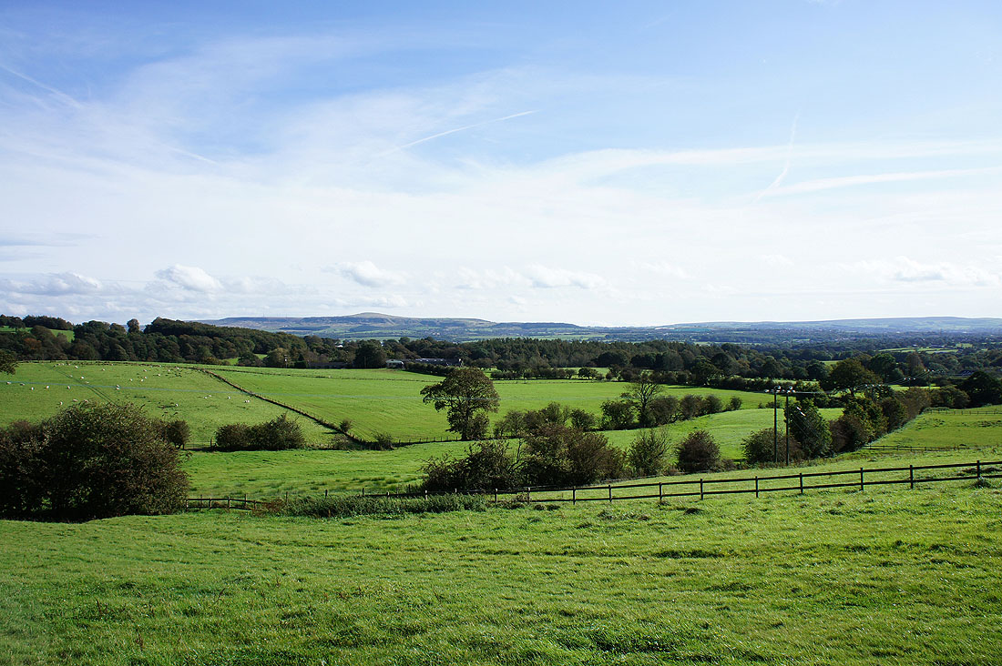
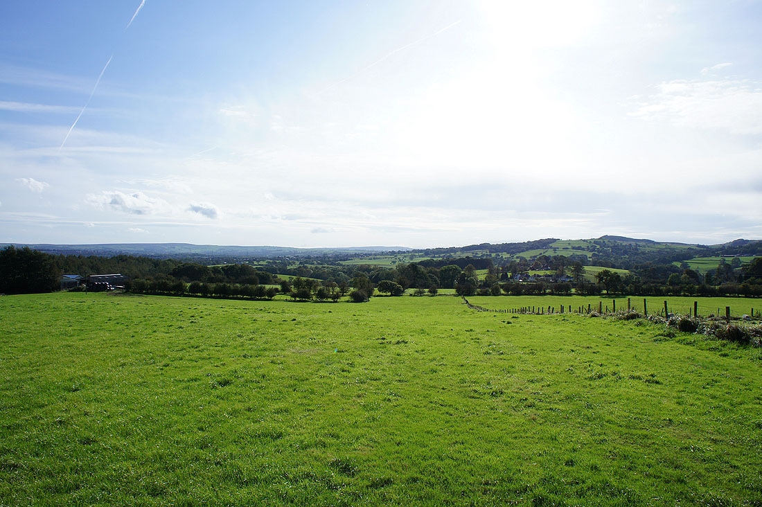
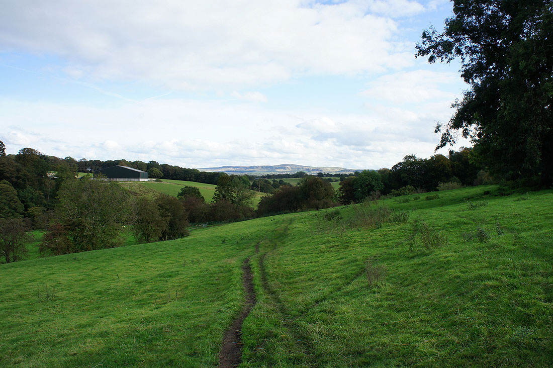
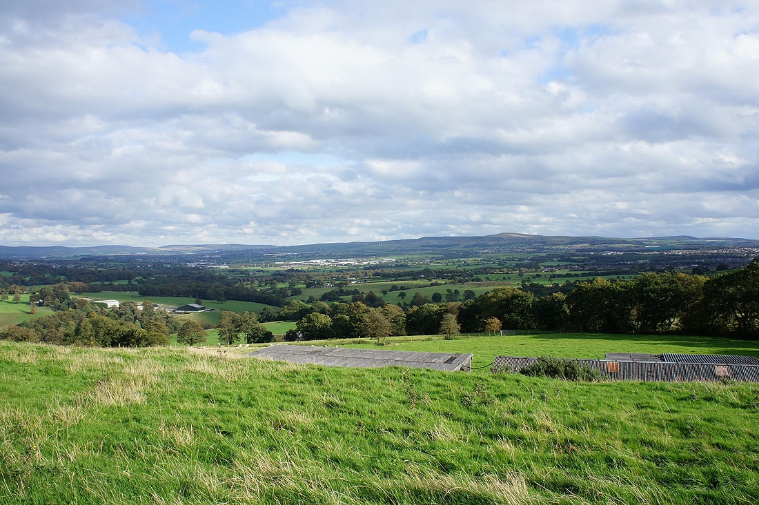
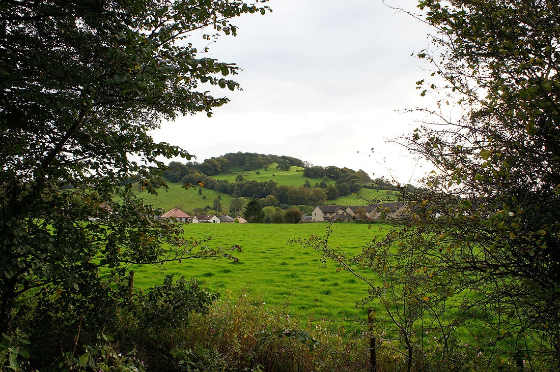
Walking across farmland near Whalley. Great Hameldon in the distance above Accrington.
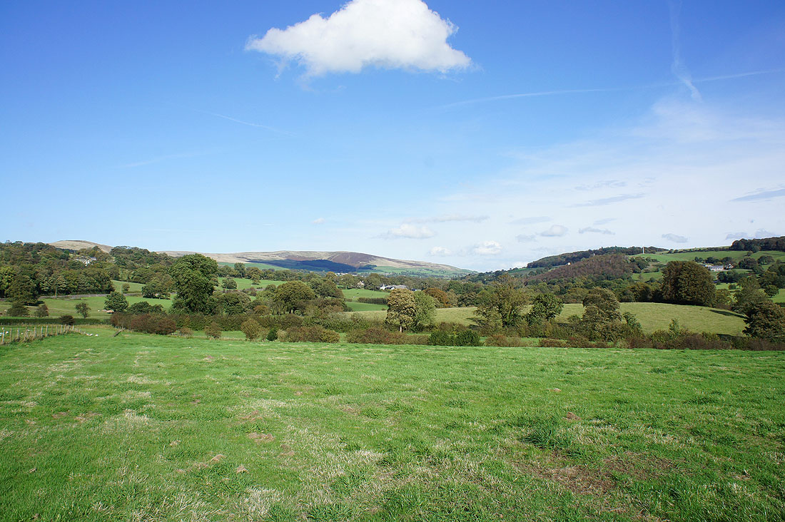
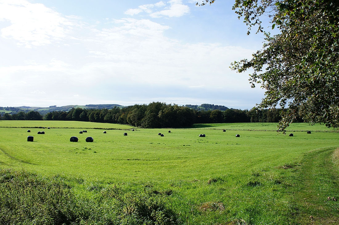
and Spence Moor to the east
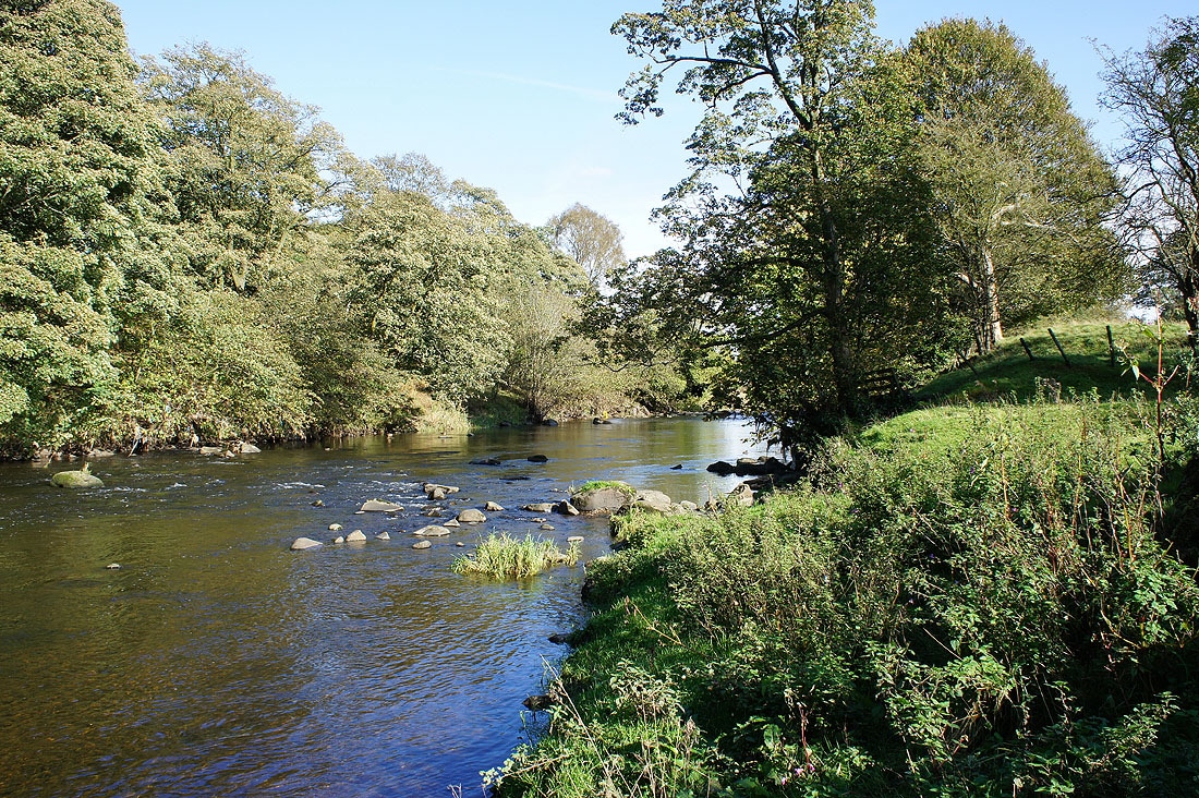
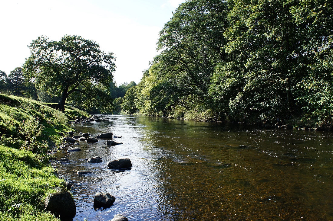
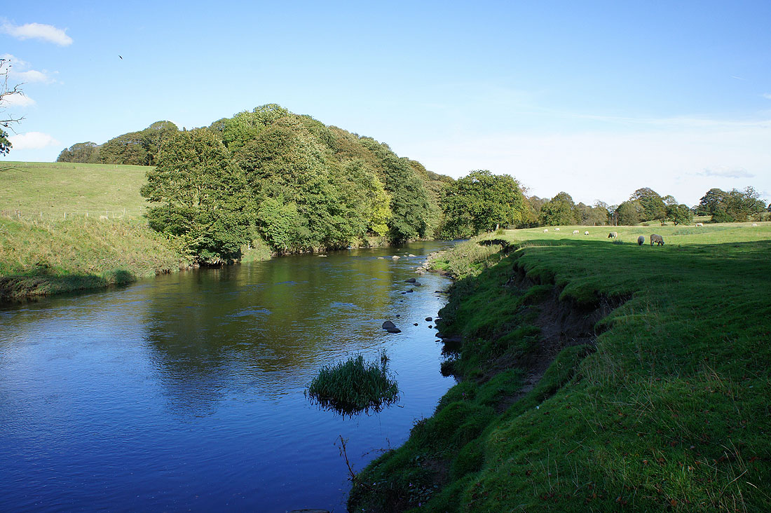
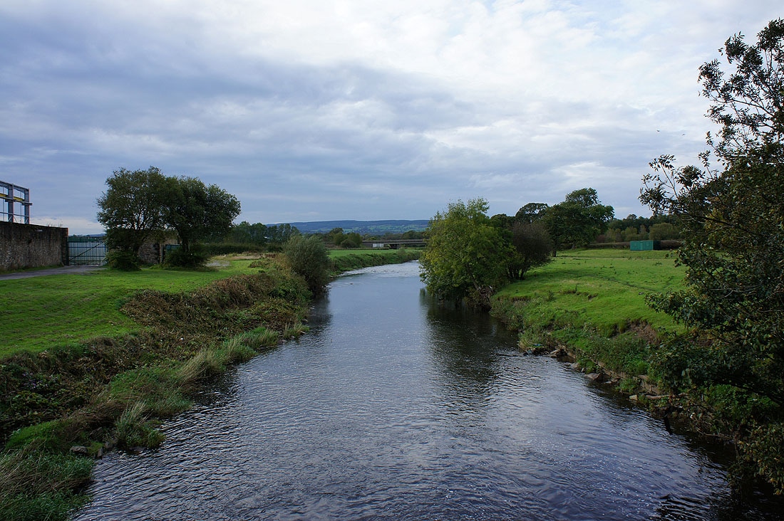
By the River Calder...
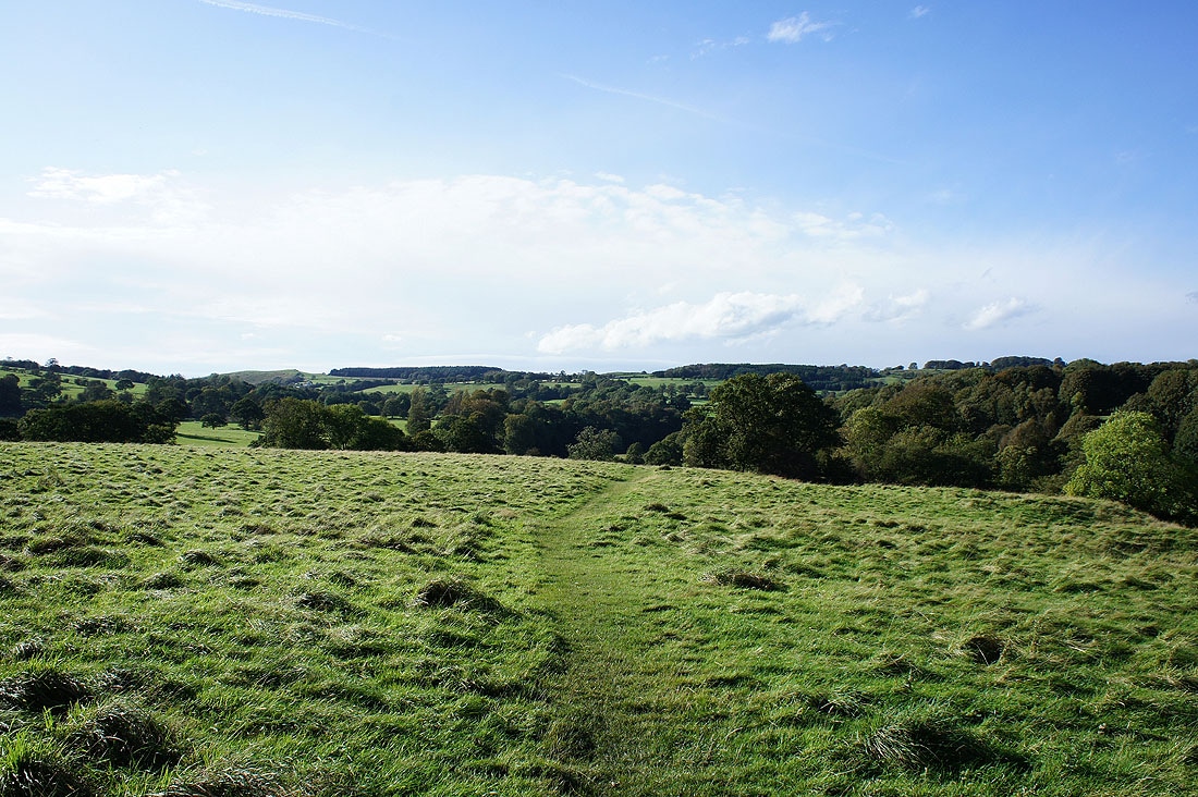
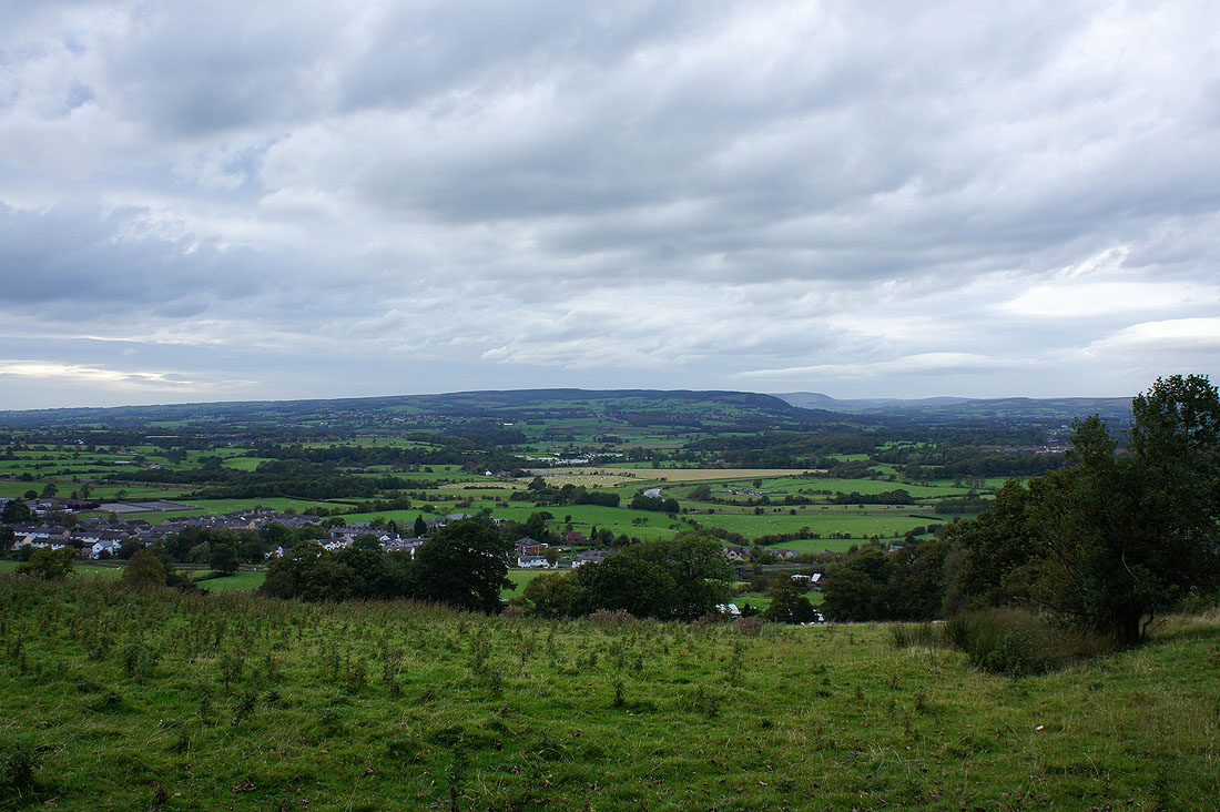
Spence Moor as I head up Whalley Nab
Burnley and Hameldon Hill in the distance
Above Whalley. Longridge Fell is on the other side of the Ribble valley.
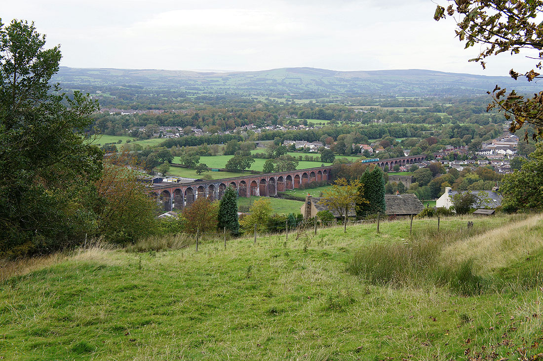
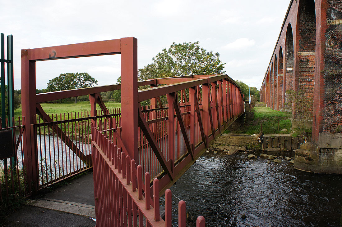
Whalley viaduct
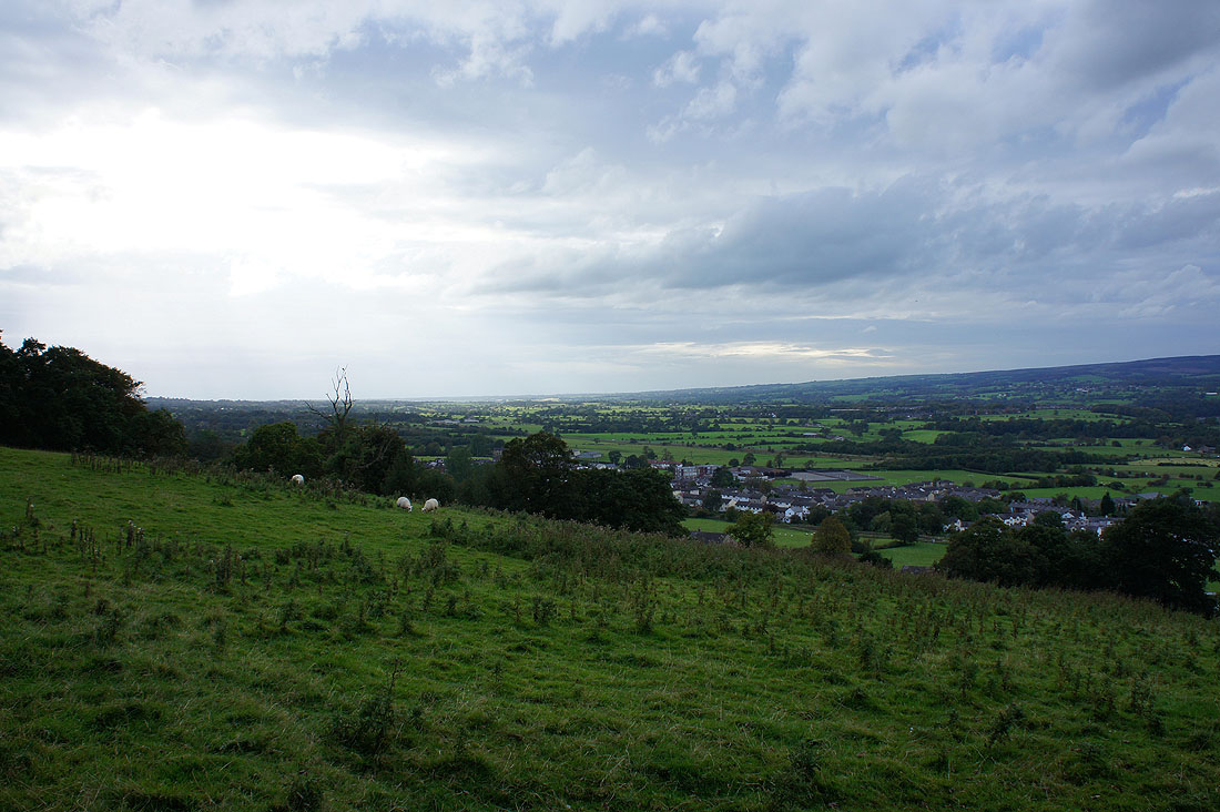
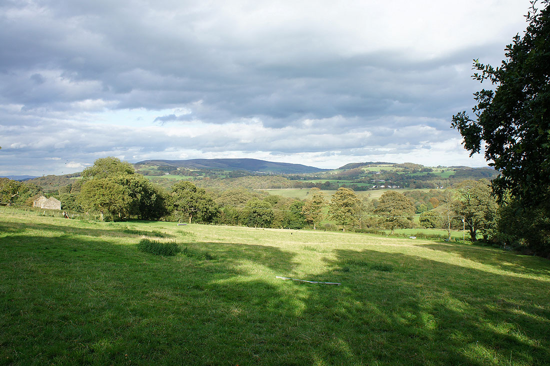
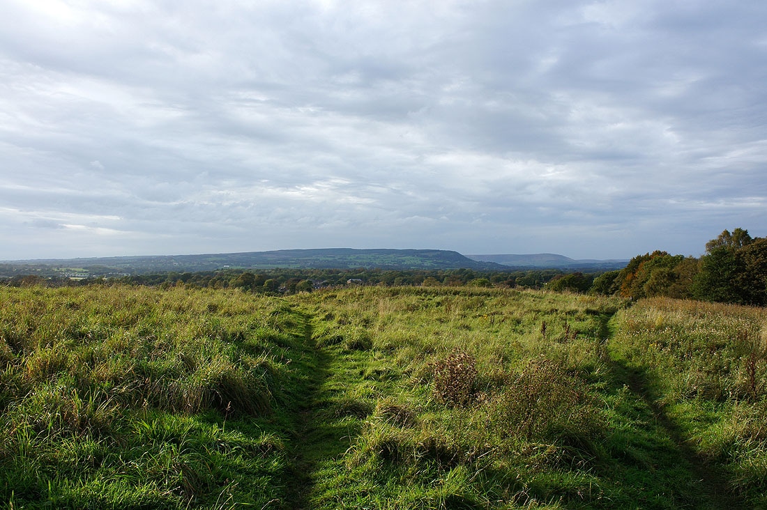
Looking down the Ribble valley
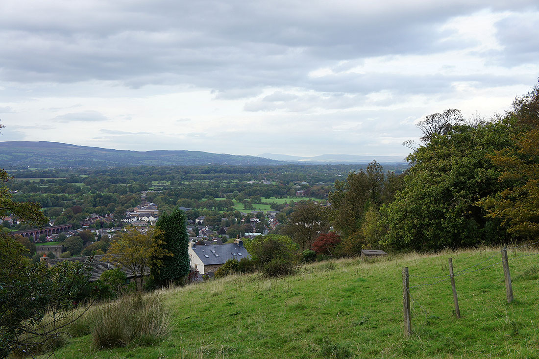
Ingleborough can be made out in the far distance
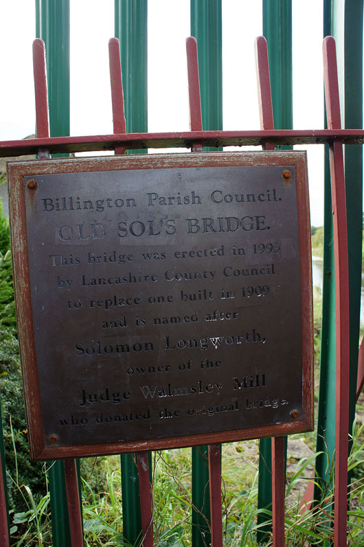
Old Sol's Bridge
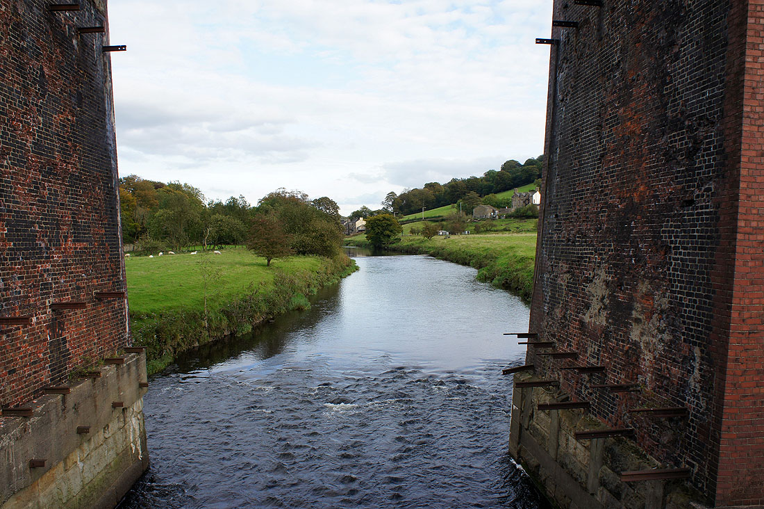
The River Calder through the arches of Whalley viaduct
and looking the other way
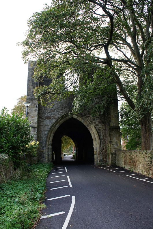
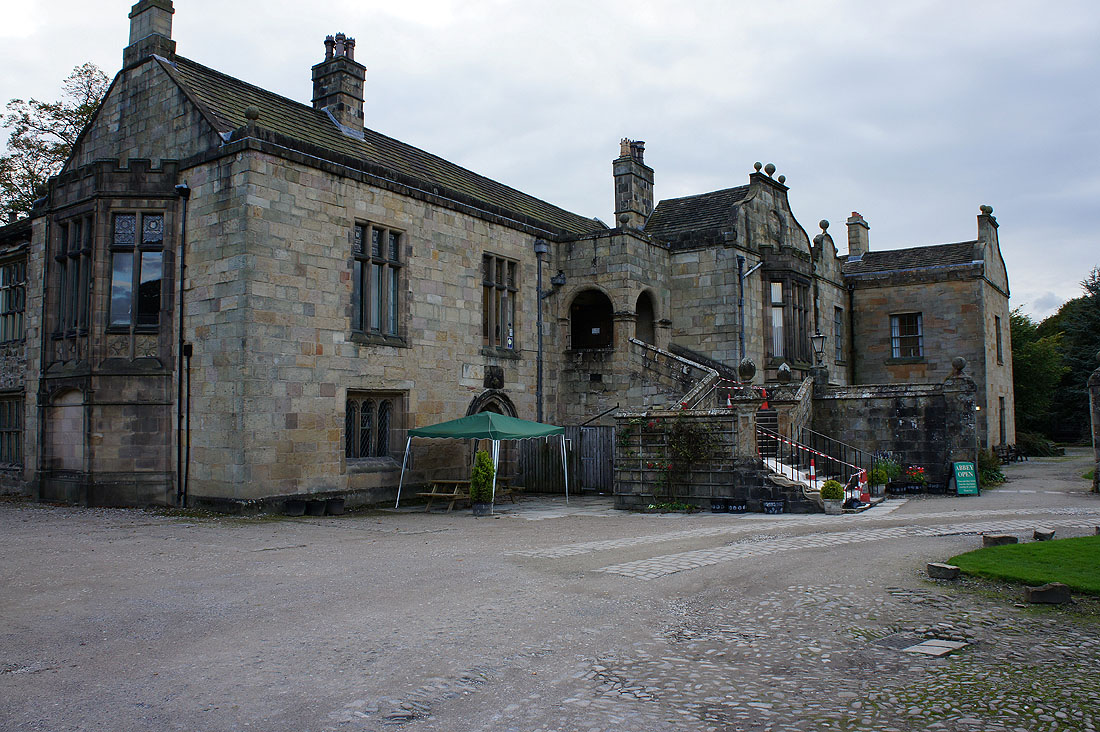
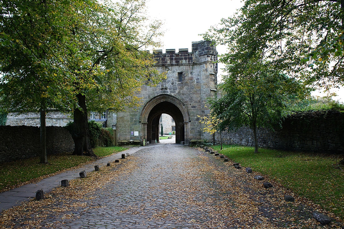
The gatehouse of Whalley abbey
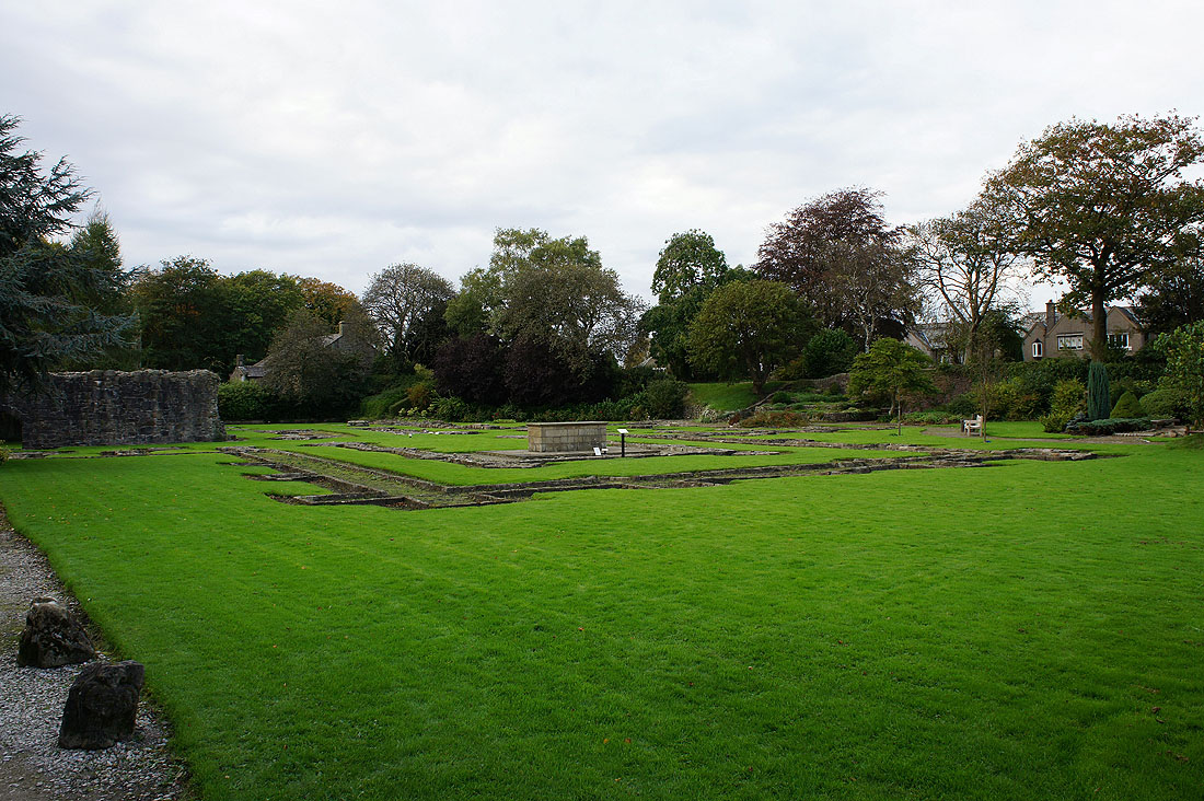
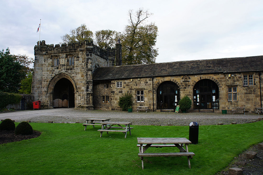
Abbey ruins and some photos of the buildings in the grounds....
Whalley Nab. The hill I descended earlier down into Whalley.
Almost back at Spring Wood picnic site and looking across to Longridge Fell