25th September 2016 - By the Ribble & Beacon Hill
Walk Details
Distance walked: 9.1 miles
Total ascent: 979 ft
OS map used: OL41 - Forest of Bowland & Ribblesdale
Time taken: 5 hrs
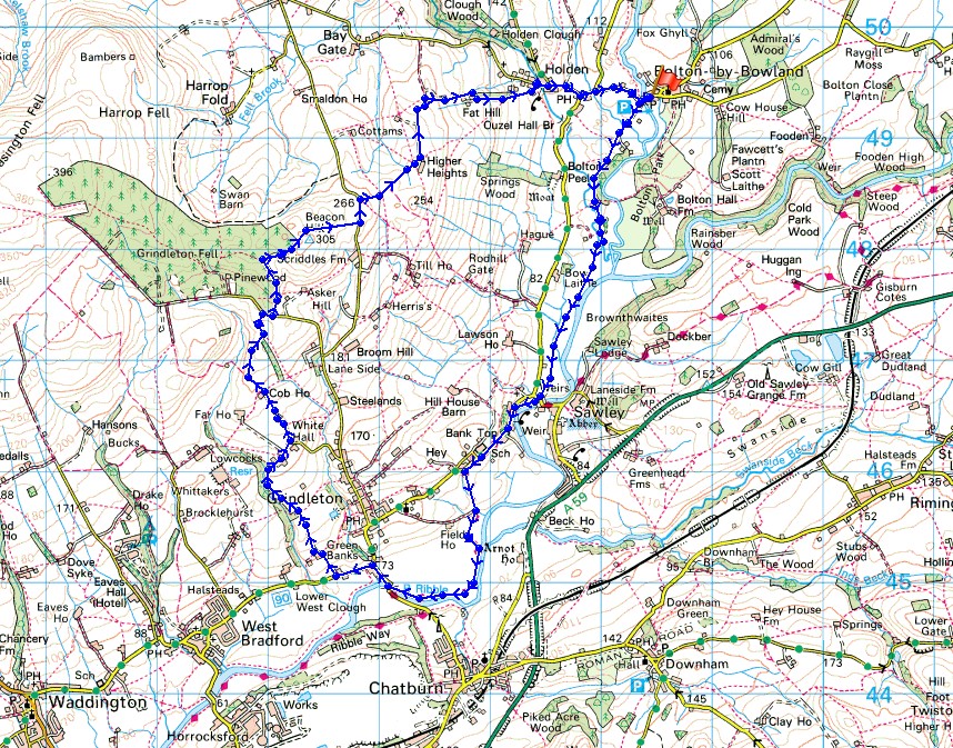
Route description: Bolton by Bowland-Sawley-Ribble Way-Grindleton-Lane Side-Green Lane-White Hall-Cob House-Shivering Ginnel-Beacon Hill-Smalden Lane-Higher Heights-Fat Hill-Holden-Bolton by Bowland
With indifferent weather forecast for today I decided to stay local and do a walk in the nearby Ribble Valley. I worked out this route that would give me the opportunity to walk along part of the Ribble Way, visit the ruins of Sawley Abbey and enjoy views across the valley and beyond from Beacon Hill. It's just a minor height on the side of Easington Fell but has a surprisingly good view. As I arrived in Bolton-by-Bowland at 1100 it was still trying to brighten up from overnight rain. The walk to Sawley was done under grey skies and the odd shower but from then on it improved and the afternoon had some warm sunny spells, great visibility, but windy. More showers were forecast to develop by the end of the afternoon but they didn't bother me. Compared to some of the walks that I've done recently this was a gentle stroll.
From the car park in Bolton-by-Bowland (free) I crossed Skirden Bridge and turned left onto the public footpath that follows a drive to some cottages. The path then leaves this and heads south by Skirden Beck, across Holden Beck and then by the River Ribble to Sawley Bridge. After having a look at the ruins of Sawley Abbey I returned to Sawley Bridge and took the trail of the Ribble Way. This took me west, briefly by the Ribble then up Sawley Road before heading back to the river to reach the road just south of Grindleton. The trail was left here to walk north up the road towards the centre of the village, then left onto the road towards West Bradford. When I reached the bridleway of Green Lane this was followed uphill to White Hall, and then I walked up Whitehall Lane past Cob House Barn to Cob Manor. From Cob Manor I took the bridleway north and when it forked, I took the right hand one to reach a lane below Beacon Hill. I turned right and there was a brief walk along the road to reach a footpath on the left that took me uphill to the track of Shivering Ginnel and the trig point on Beacon Hill. The footpath then continued east down to Smalden Lane, then after a short walk north along the road I turned right onto the bridleway to Higher Heights (this was very boggy in places). From Higher Heights I followed a bridleway north and then a footpath east, downhill past Priest Biggins and Fat Hill to reach the hamlet of Holden. A walk along roads took me back to Bolton-by-Bowland.
Total ascent: 979 ft
OS map used: OL41 - Forest of Bowland & Ribblesdale
Time taken: 5 hrs
Route description: Bolton by Bowland-Sawley-Ribble Way-Grindleton-Lane Side-Green Lane-White Hall-Cob House-Shivering Ginnel-Beacon Hill-Smalden Lane-Higher Heights-Fat Hill-Holden-Bolton by Bowland
With indifferent weather forecast for today I decided to stay local and do a walk in the nearby Ribble Valley. I worked out this route that would give me the opportunity to walk along part of the Ribble Way, visit the ruins of Sawley Abbey and enjoy views across the valley and beyond from Beacon Hill. It's just a minor height on the side of Easington Fell but has a surprisingly good view. As I arrived in Bolton-by-Bowland at 1100 it was still trying to brighten up from overnight rain. The walk to Sawley was done under grey skies and the odd shower but from then on it improved and the afternoon had some warm sunny spells, great visibility, but windy. More showers were forecast to develop by the end of the afternoon but they didn't bother me. Compared to some of the walks that I've done recently this was a gentle stroll.
From the car park in Bolton-by-Bowland (free) I crossed Skirden Bridge and turned left onto the public footpath that follows a drive to some cottages. The path then leaves this and heads south by Skirden Beck, across Holden Beck and then by the River Ribble to Sawley Bridge. After having a look at the ruins of Sawley Abbey I returned to Sawley Bridge and took the trail of the Ribble Way. This took me west, briefly by the Ribble then up Sawley Road before heading back to the river to reach the road just south of Grindleton. The trail was left here to walk north up the road towards the centre of the village, then left onto the road towards West Bradford. When I reached the bridleway of Green Lane this was followed uphill to White Hall, and then I walked up Whitehall Lane past Cob House Barn to Cob Manor. From Cob Manor I took the bridleway north and when it forked, I took the right hand one to reach a lane below Beacon Hill. I turned right and there was a brief walk along the road to reach a footpath on the left that took me uphill to the track of Shivering Ginnel and the trig point on Beacon Hill. The footpath then continued east down to Smalden Lane, then after a short walk north along the road I turned right onto the bridleway to Higher Heights (this was very boggy in places). From Higher Heights I followed a bridleway north and then a footpath east, downhill past Priest Biggins and Fat Hill to reach the hamlet of Holden. A walk along roads took me back to Bolton-by-Bowland.
© Crown copyright. All rights reserved. License number PU 100034184.
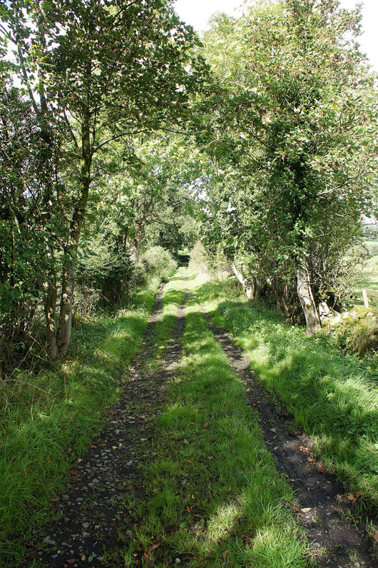
Skirden Beck as I leave Bolton-by-Bowland
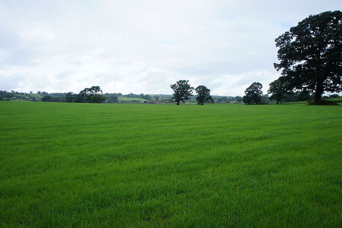
It's a bit grey and threatening to rain in the Ribble Valley this morning
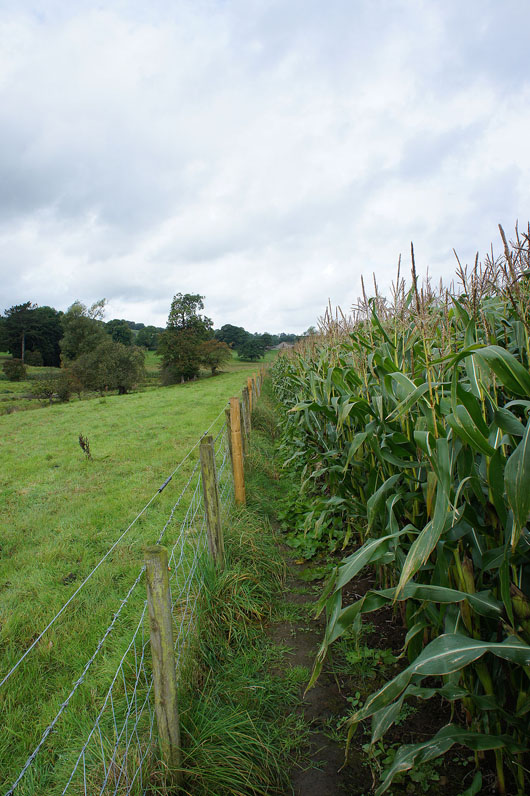
The path to Sawley takes me round a field full of corn
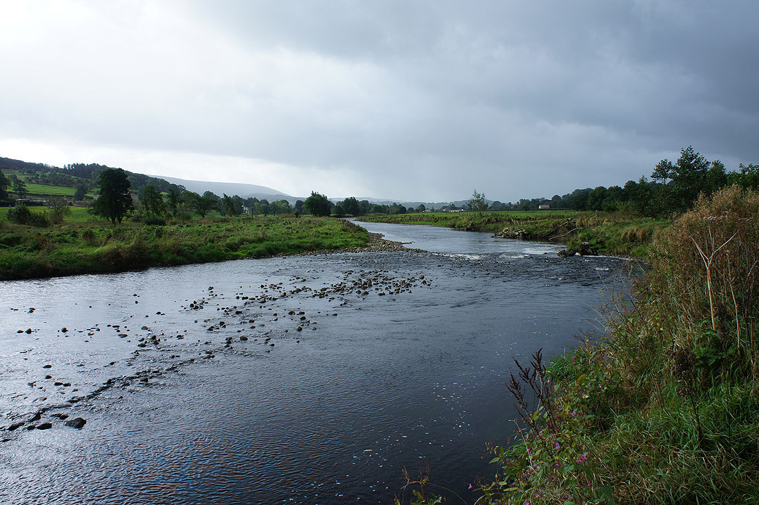
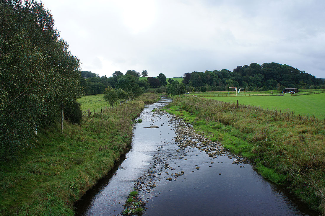
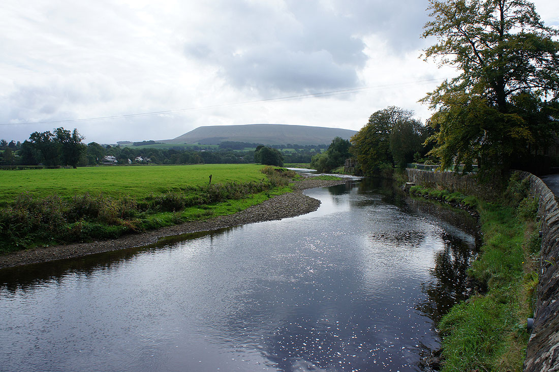
By the River Ribble and a dark cloud and shower is about to pass over
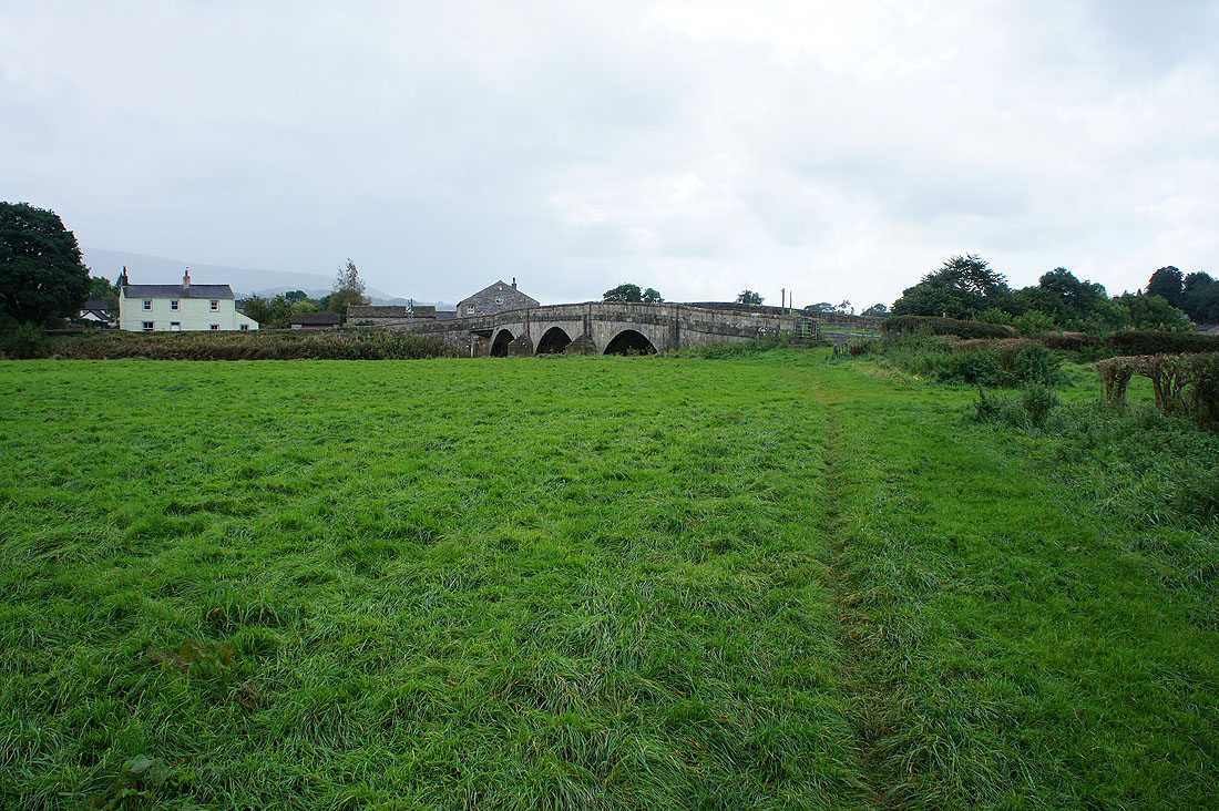
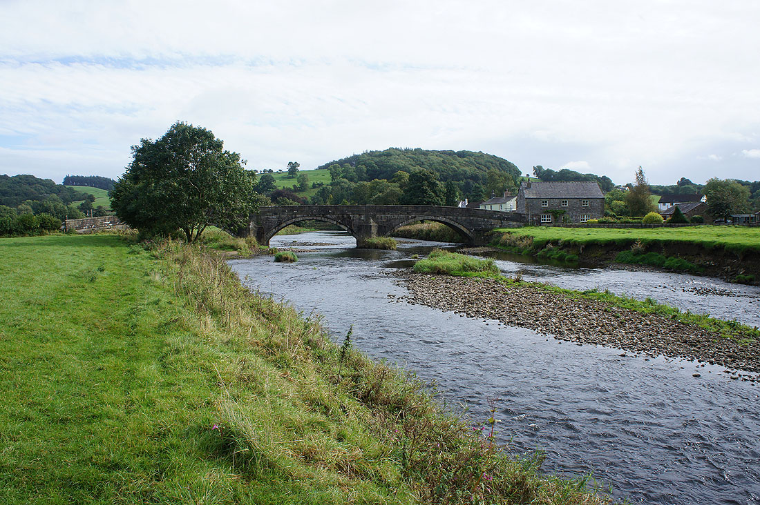
Approaching Sawley Bridge and Sawley
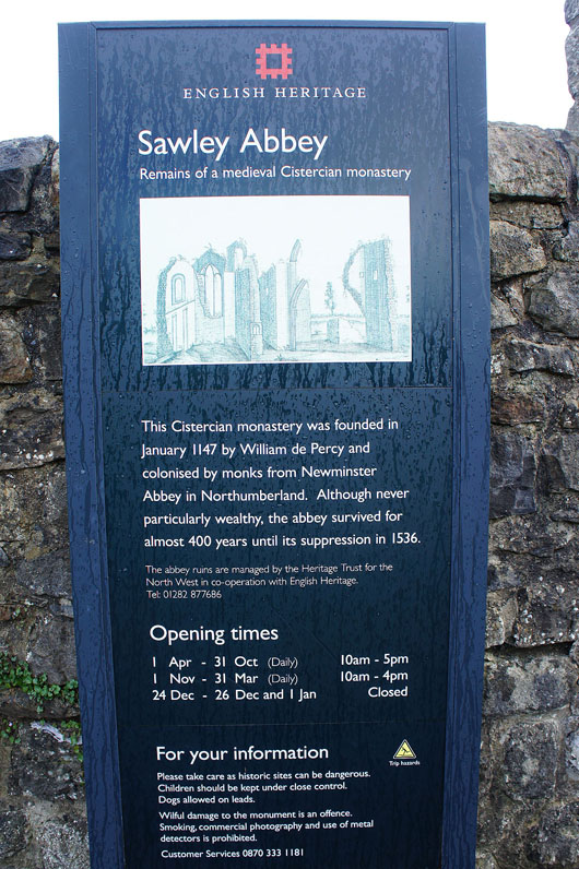
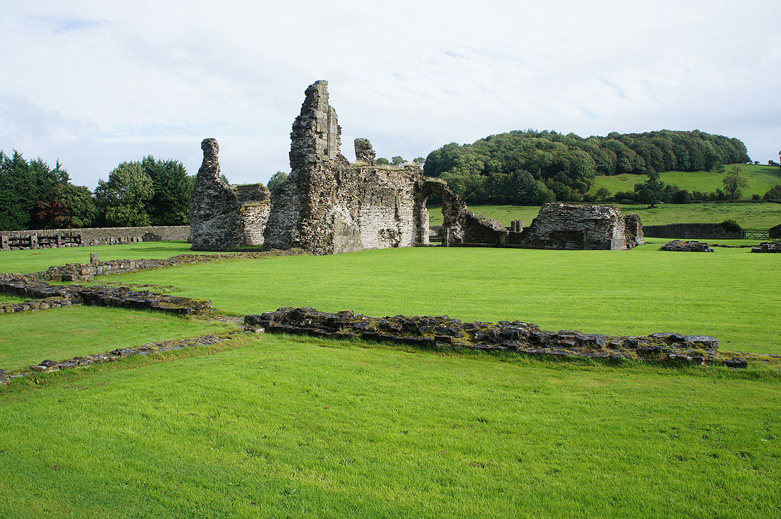
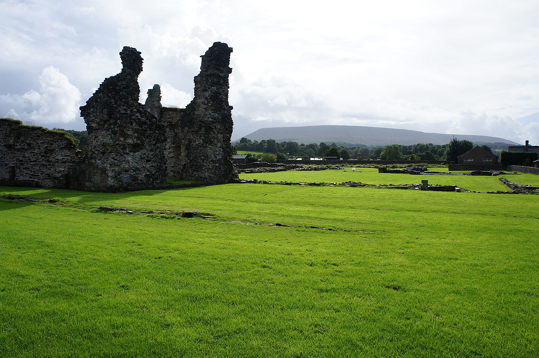
Since I was passing I decided to have a look at the ruins of Sawley Abbey...
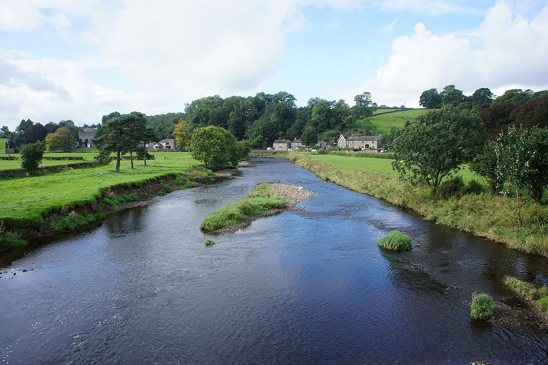
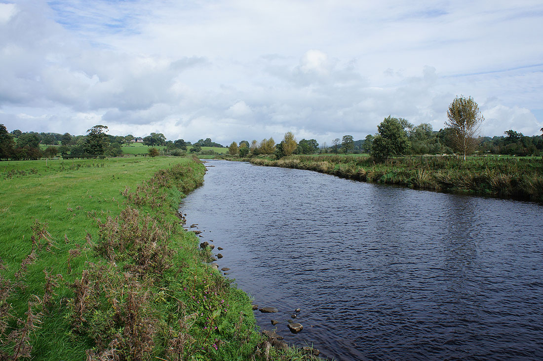
On with the walk and I return to Sawley Bridge and look downstream along the Ribble
Looking back to Sawley Bridge as I join the trail of the Ribble Way
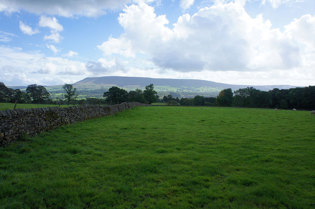
Pendle Hill as the trail leaves the river and follows the road to Grindleton for a while
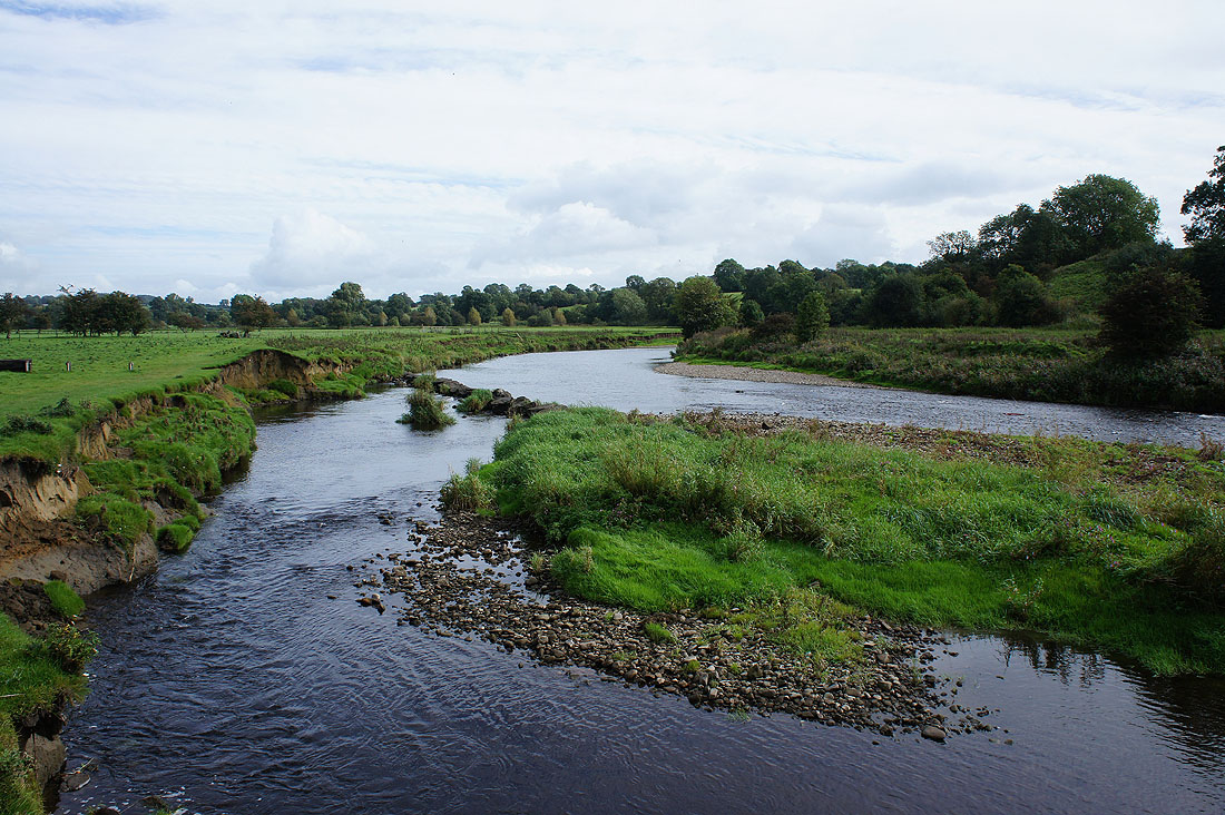
Off the road and the Ribble Way heads back to the riverside until I reach Grindleton...
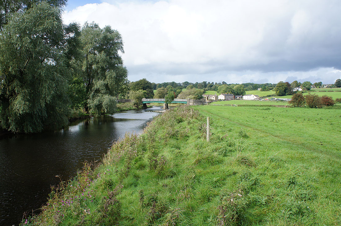
Grindleton ahead and this is where I'll leave the river behind
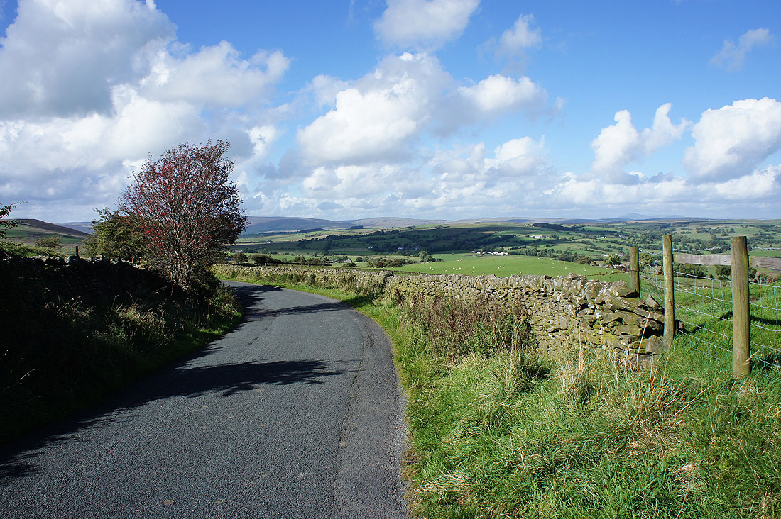
The bridleway of Green Lane takes me uphill
Pendle Hill on the other side of the valley as I reach White Hall Farm
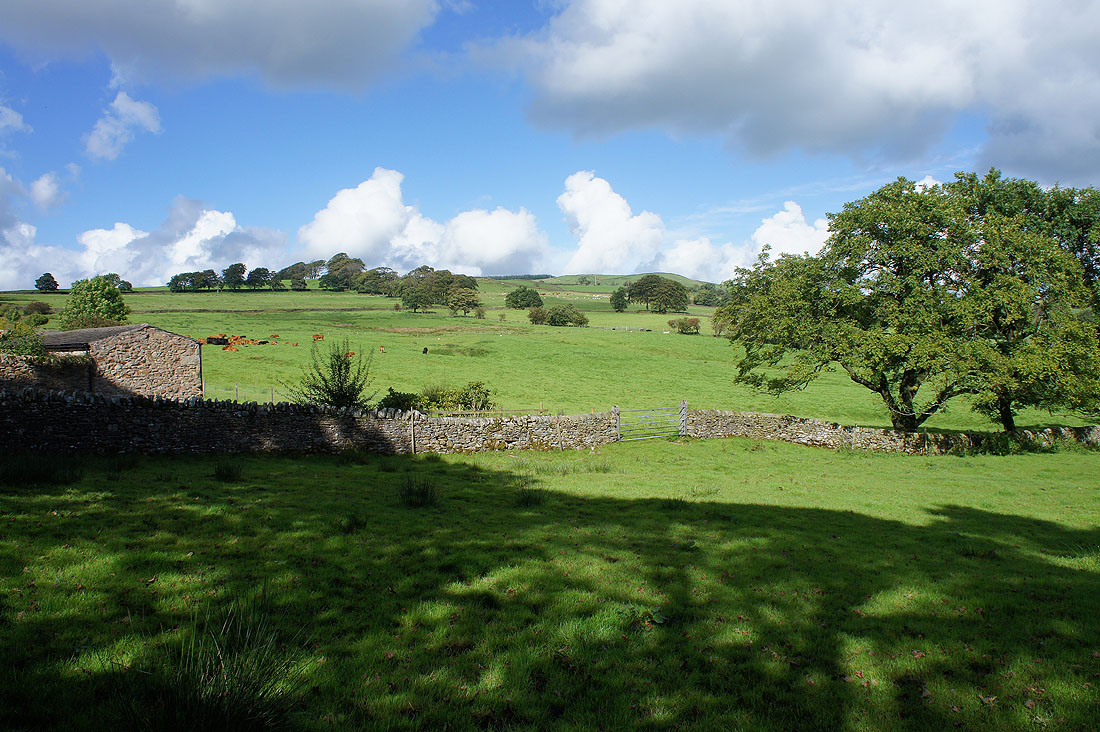
The gentle slopes of Beacon Hill rise above as I reach Cob House
Looking west down the Ribble Valley with Longridge Fell on the right
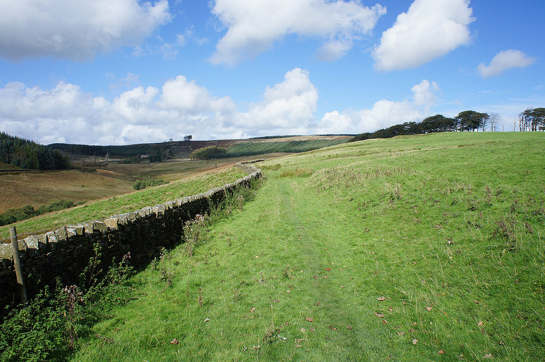
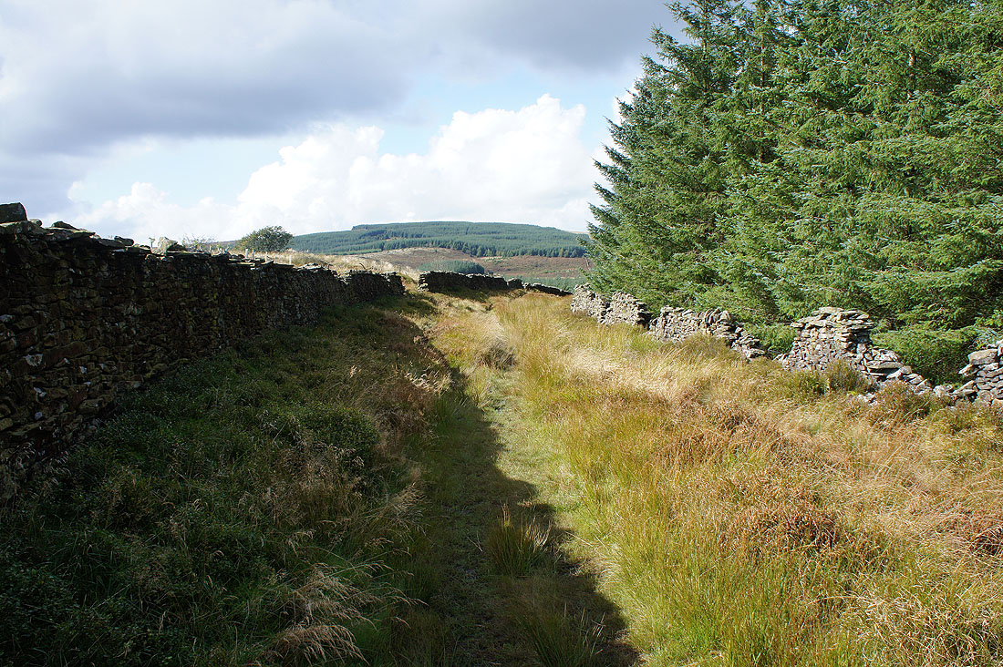
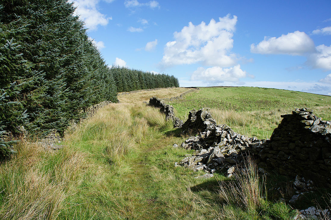
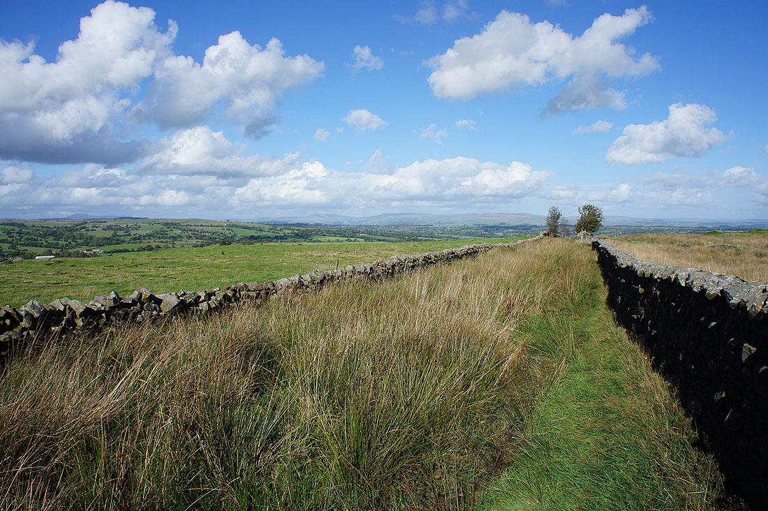
Past Cob House and the bridleway takes me uphill towards the plantations on Grindleton Fell

Across a road and onto the footpath up Beacon Hill
A great view of Pendle Hill from above Higher Asker Hill
The footpath joined the intriguingly named track of Shivering Ginnel..
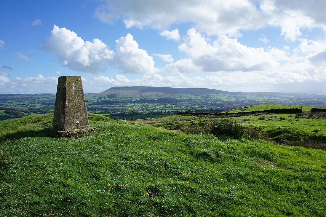
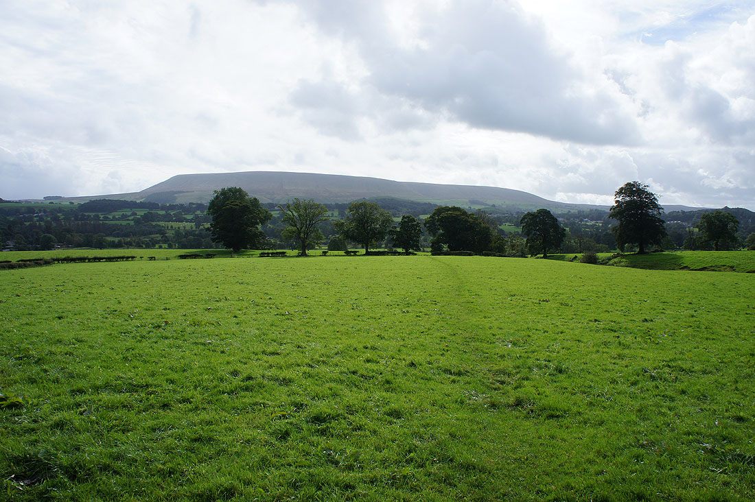
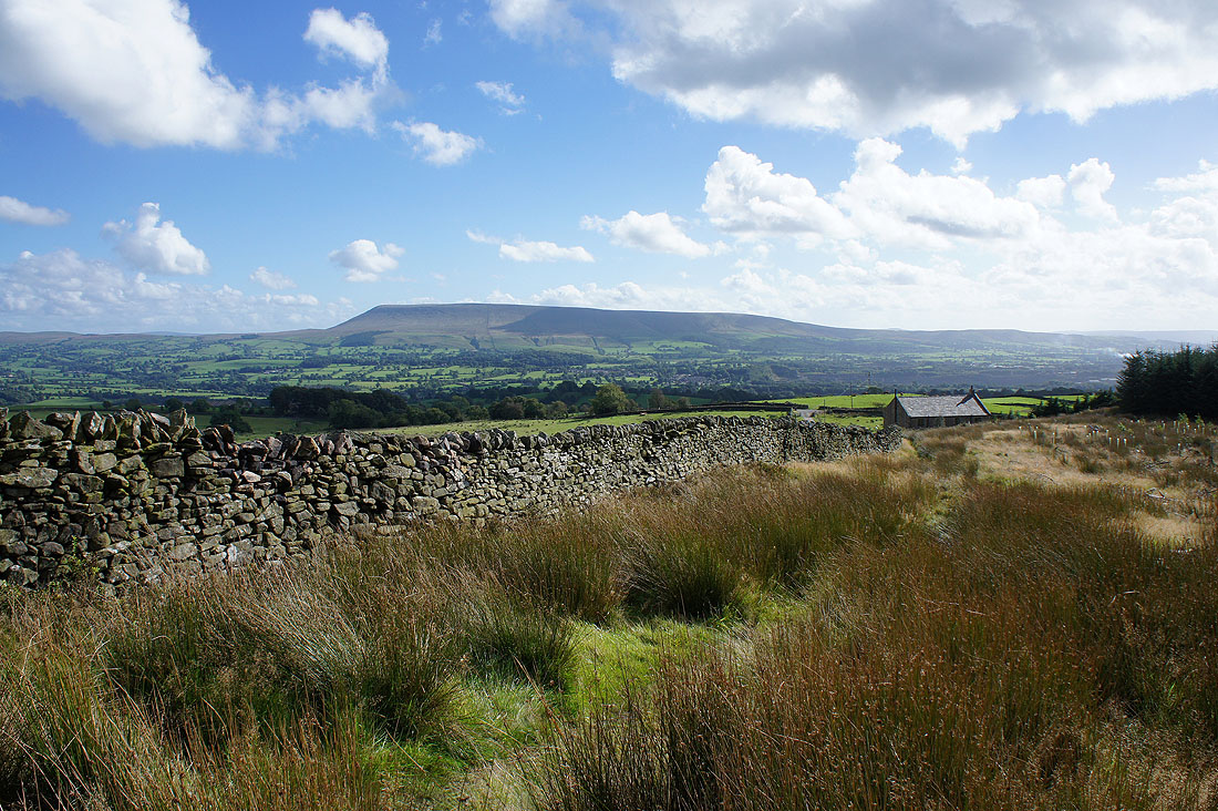
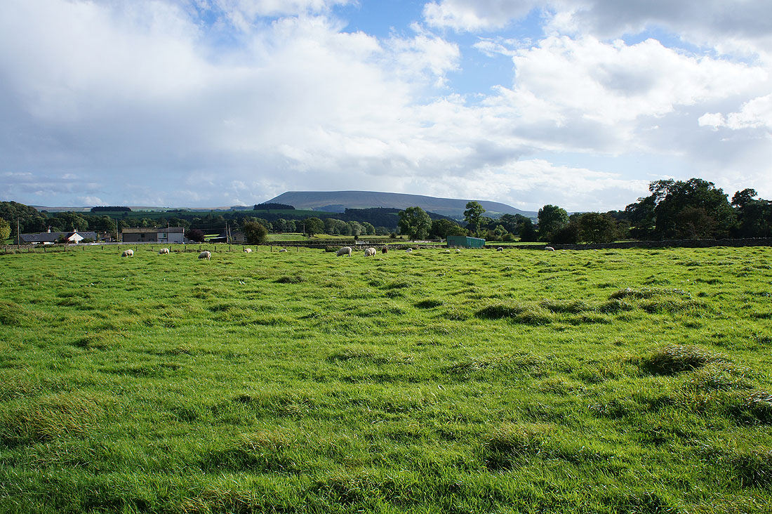
Pendle Hill as I reach the trig point on Beacon Hill
The visibility is good enough today to make Ingleborough, Penyghent and Fountains Fell in the Yorkshire Dales
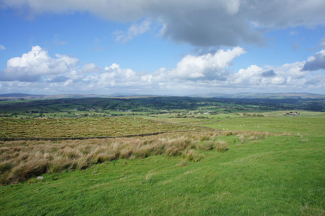
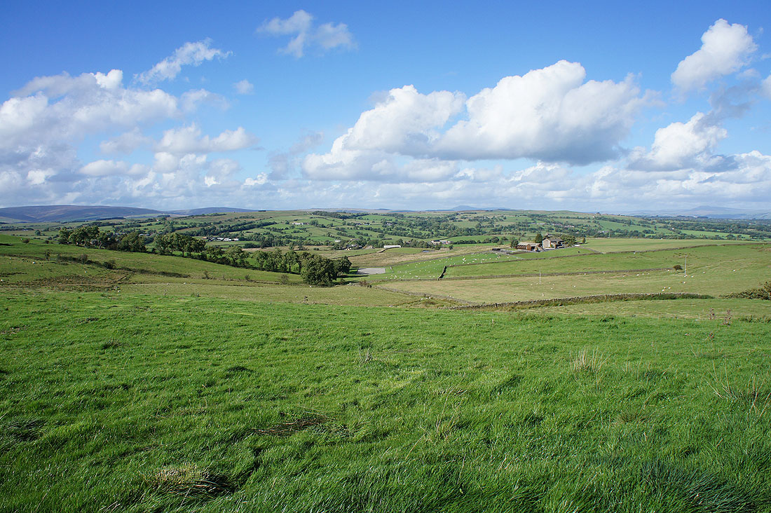
Distant views to Barden Moor, Skipton Moor and Pinhaw Beacon as I follow the path east off Beacon Hill to Smalden Lane
Pendle Hill above Scriddles Farm
On Smalden Lane and I can make out Great Harlow and Bowland Knotts in the Forest of Bowland in the distance
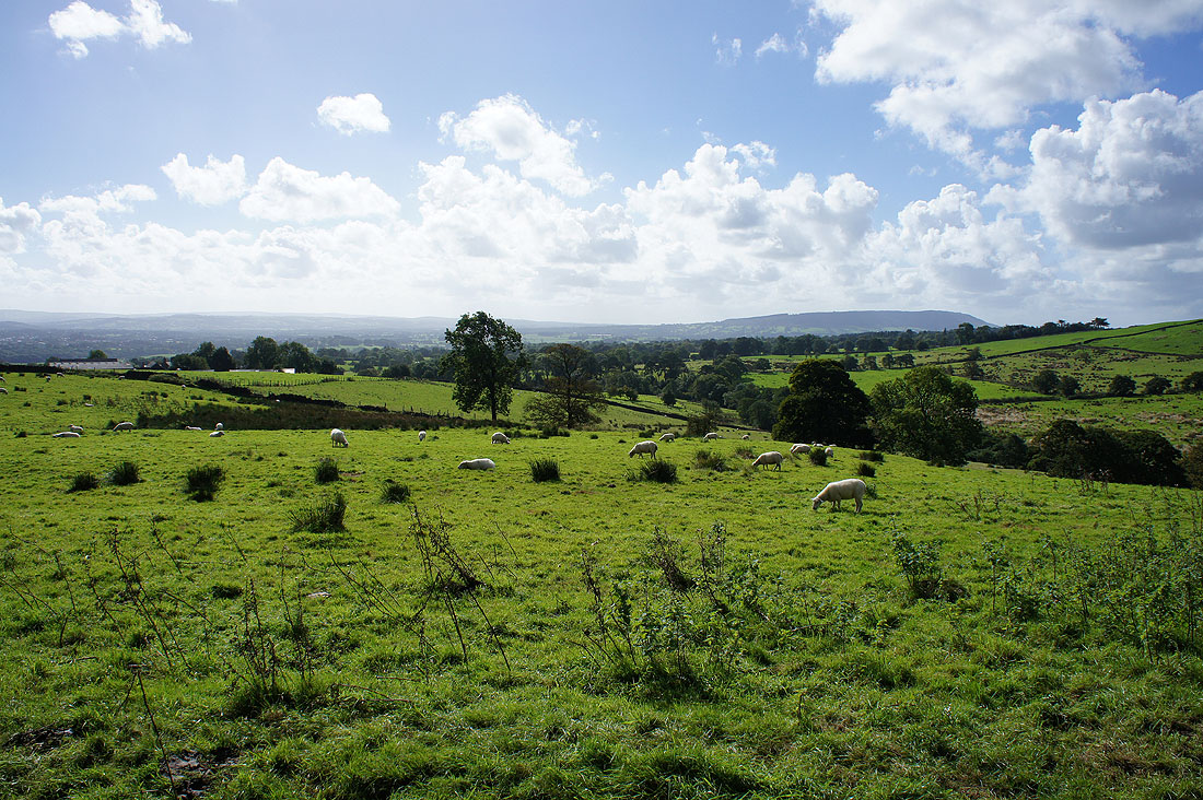
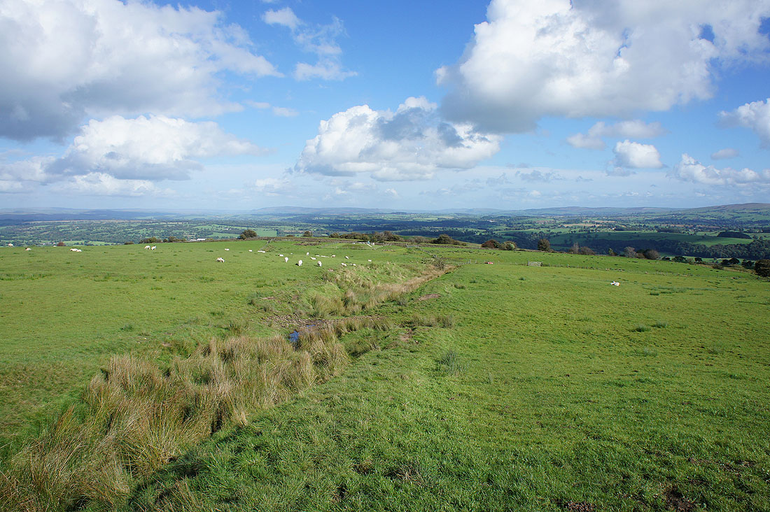
The bridleway I followed east from Smalden Lane was very boggy in places but it did give great views across the countryside to the north..
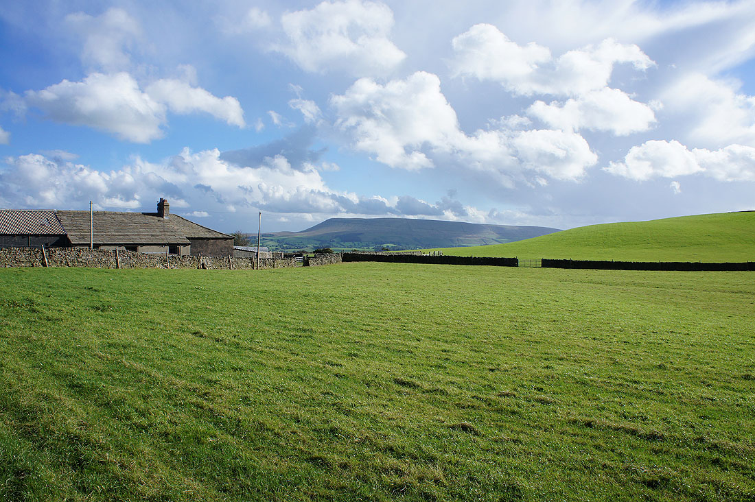
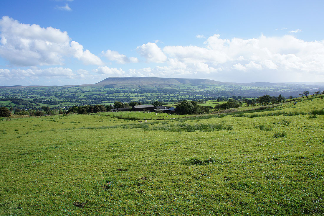
Pendle Hill from Higher Heights Farm
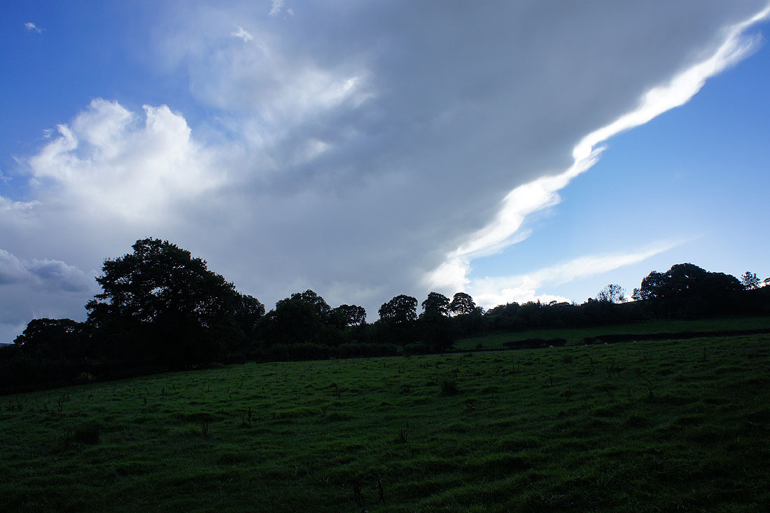
Shower clouds have started to develop during the past hour. The anvil from a cumulonimbus cloud spreads across the sky.
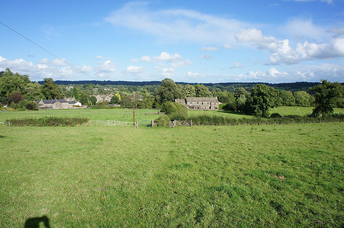
Heading down to Holden
A last shot of Pendle Hill as I walk along the road back to..
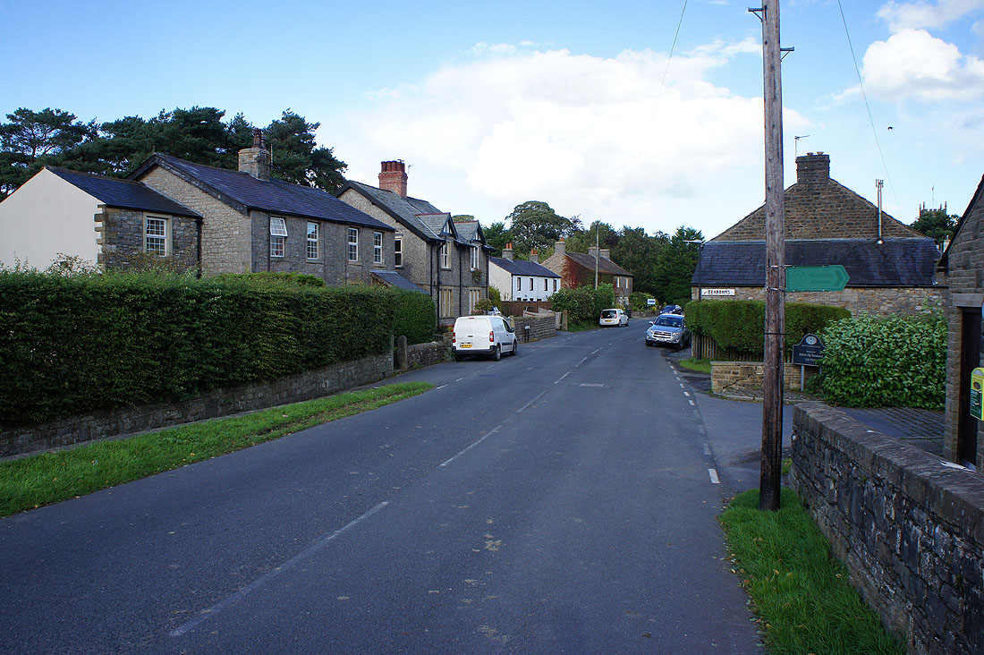
..Bolton-by-Bowland