26th April 2009 - A Hartsop Round
Walk Details
Distance walked: 12.1 miles
Total ascent: 4127 ft
OS map used: OL5 - The English Lakes, North-eastern area
Time taken: 7 hrs
Route description: Hartsop-Hartsop Dodd-Caudale Moor-Threshthwaite Mouth-Thornthwaite Crag-High Street-Kidsty Pike-High Raise-Rampsgill Head-Brock Crags-Boredale Hause-Dubhow-Hartsop
This walk from Hartsop started under sunny skies but low cloud developed as I was walking across from Hartsop Dodd to Caudale Moor which didn't lift and clear until I had reached Thornthwaite Crag. The rest of the walk was done in fine spring weather though.
From Hartsop there's no gentle start to this walk as it's straight up the front of Hartsop Dodd. After Hartsop Dodd things ease off somewhat with the ridge walk up to the summit of Caudale Moor. Its then a steep rocky descent down to Threshthwaite Mouth and a steep climb to the summit of Thornthwaite Crag. I then set off to visit the following tops in the area, High Street, Kidsty Pike, High Raise and Rampsgill Head. From Rampsgill Head I made my way to Boredale Hause with a visit to Brock Crags along the way. On reaching Boredale Hause I then made my way back to Hartsop.
Route map
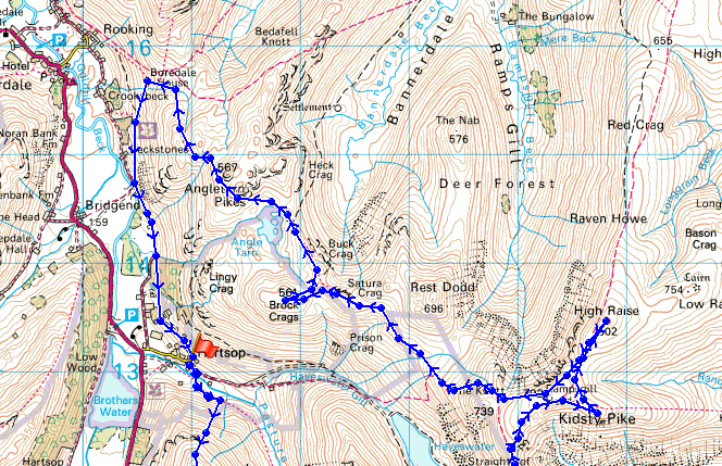
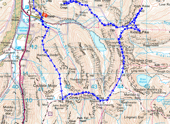
© Crown copyright. All rights reserved. License number PU 100034184.
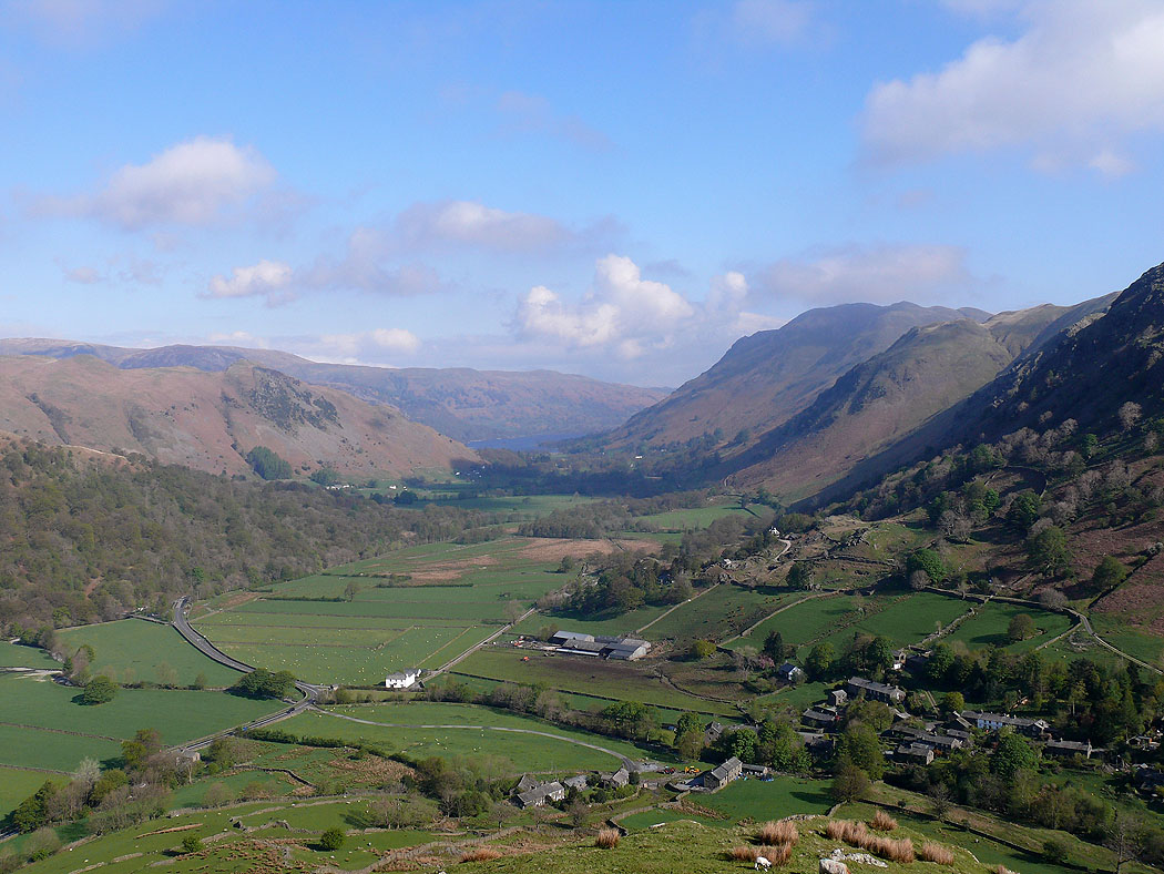
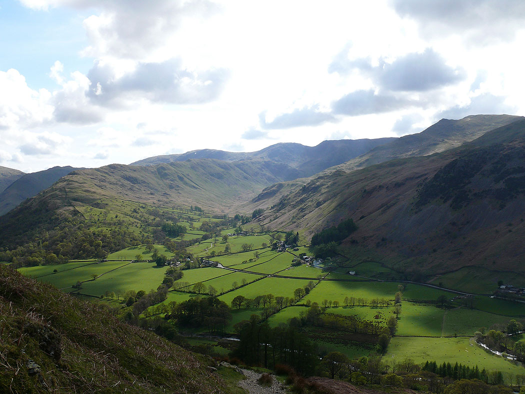
Hartsop and Patterdale as I start the climb up Hartsop Dodd
Dove Crag under cloud
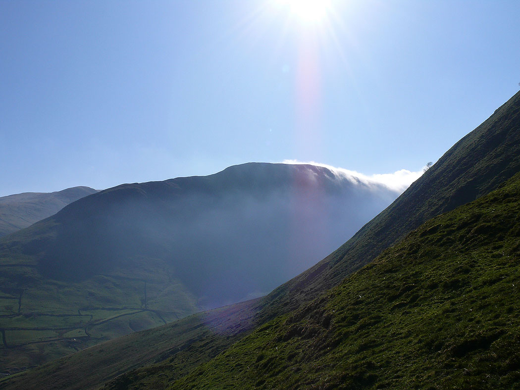
Cloud pouring over Gray Crag
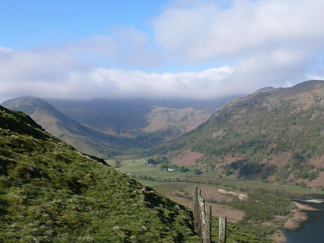
A last view of Patterdale before the cloud enveloped me
I'm at the summit of Thornthwaite Crag and the cloud has now lifted to show me my first two summits of Caudale Moor and Hartsop Dodd
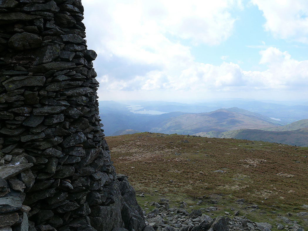
Windermere from the beacon
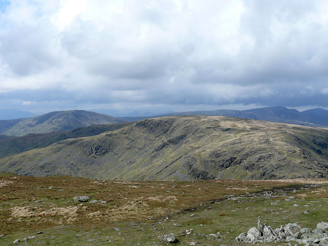
Dove Crag, Caudale Moor and Fairfield
Helvellyn and the Dodds in the distance
Harter Fell
The Ill Bell ridge and Windermere
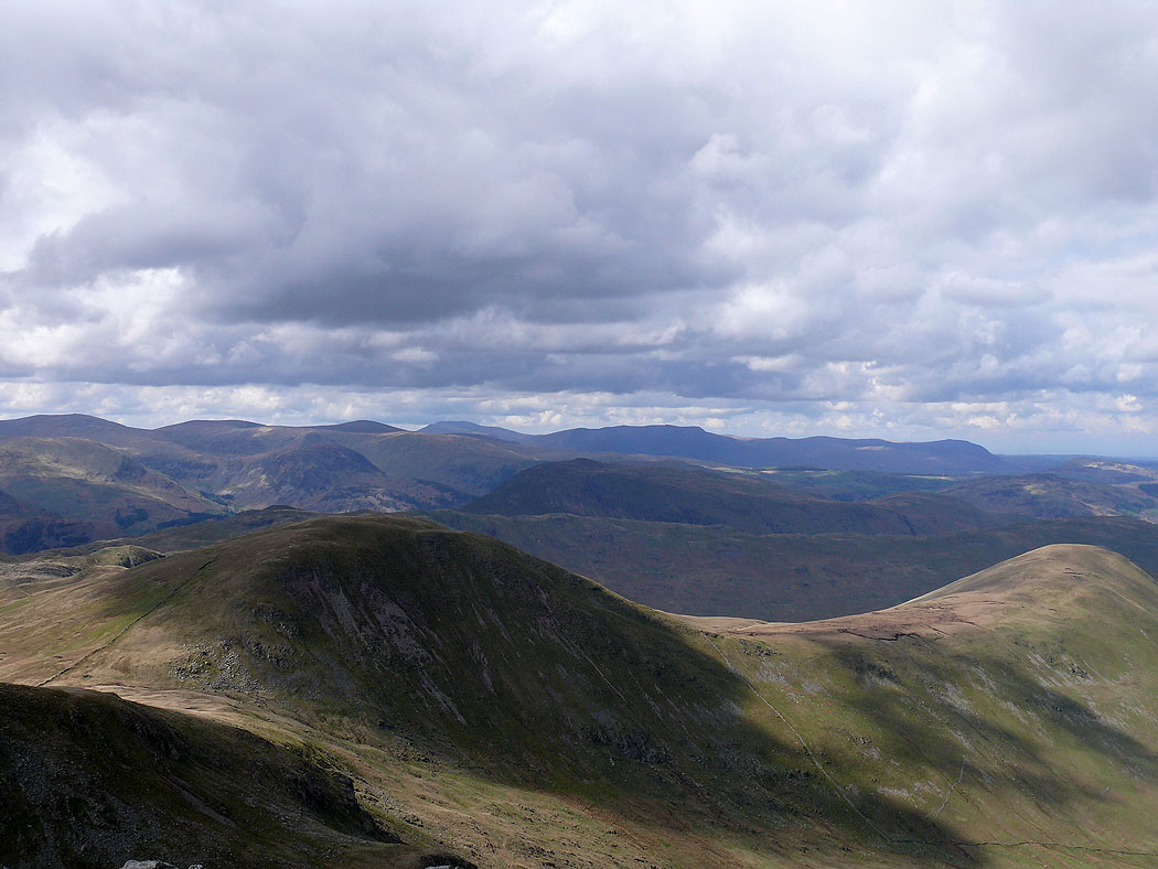
Fairfield, Helvellyn and the Dodds from High Street
The view west to a distant Crinkle Crags, Bowfell and Scafells
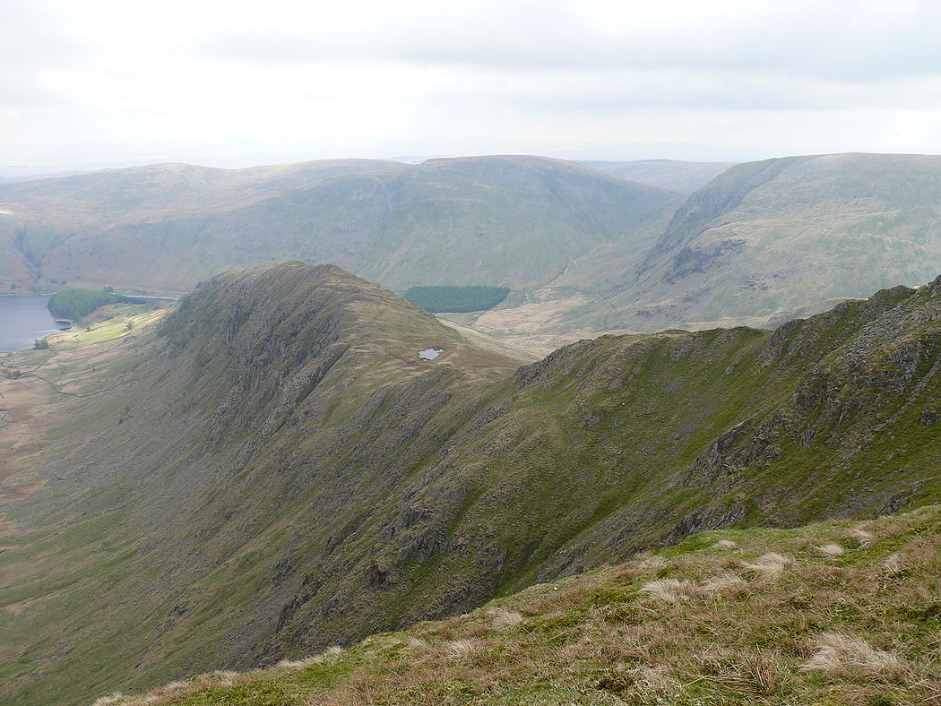
I'm heading for Kidsty Pike and a detour to the top of Riggindale gives this view of Rough Crag and Long Stile. The patch of water is Caspel Gate Tarn.
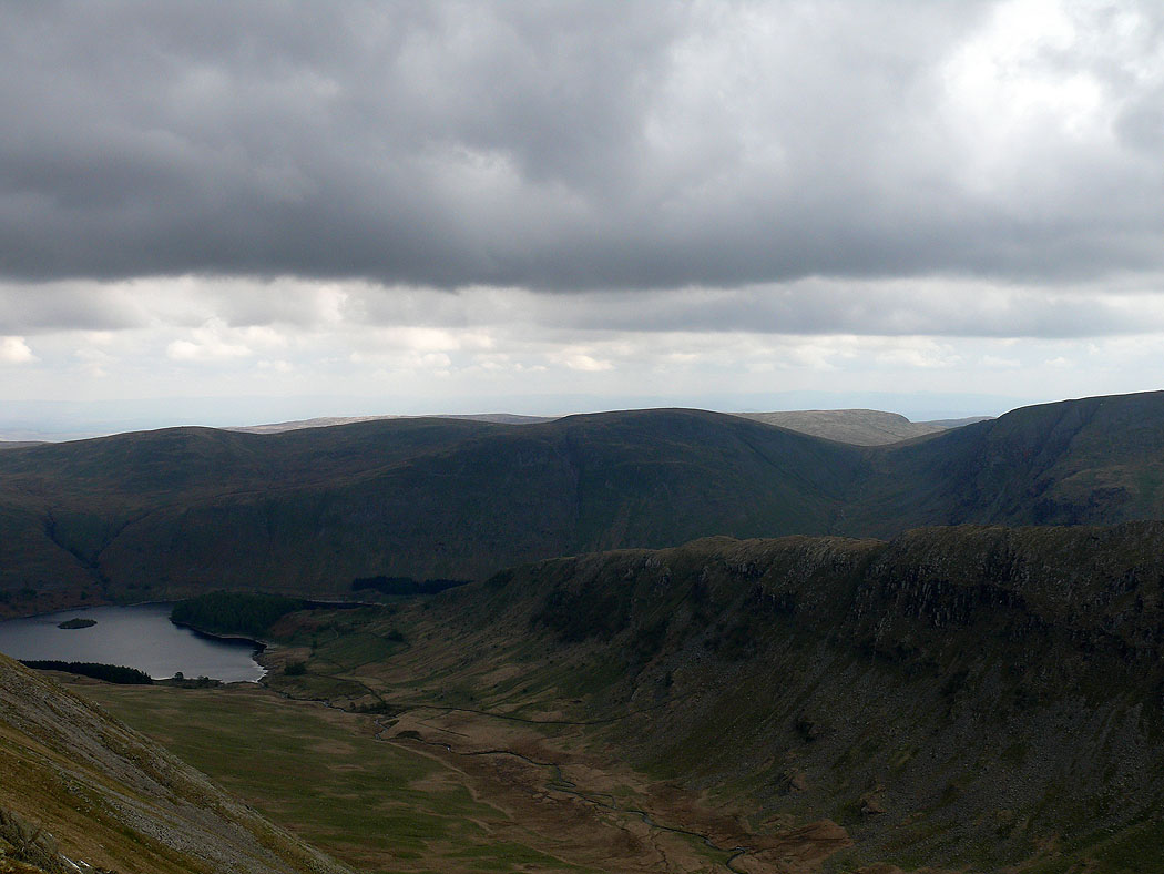
On the summit of Kidsty Pike. Rough Crag on the other side of Riggindale with Branstree behind.
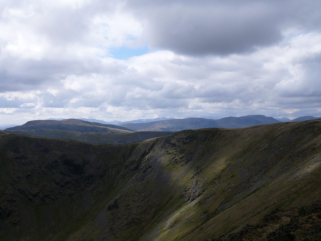
Lots of fells in view across the Straits of Riggindale
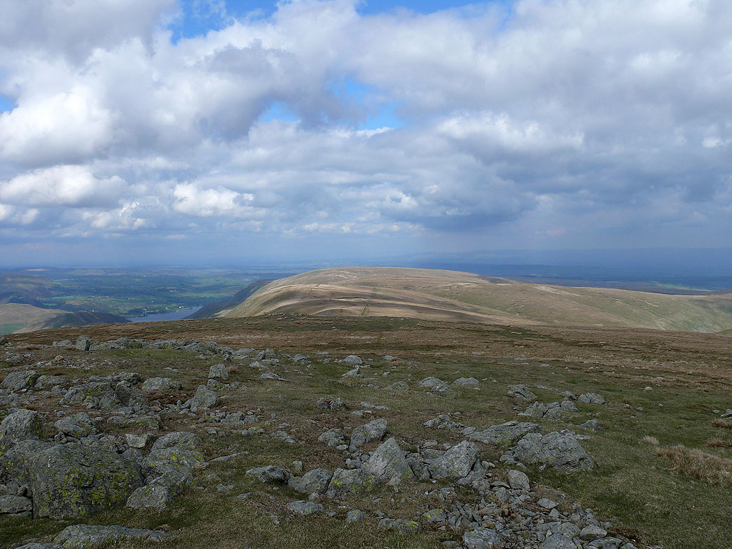
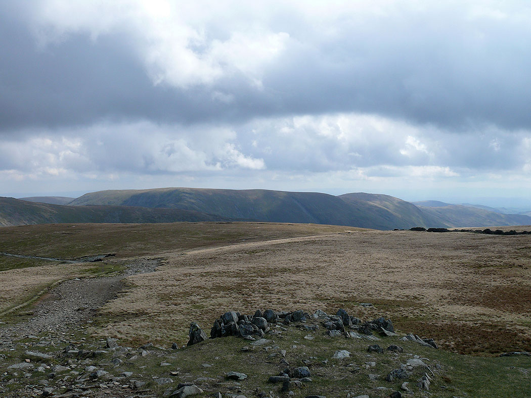
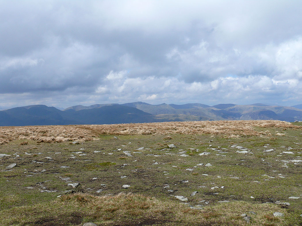
I've arrived at my next summit of the day, High Raise. The view north along the ridge to Loadpot Hill.
Selside Pike and Branstree
On Rampsgill Head now. Helvellyn, the Dodds and Skiddaw along the horizon. The fell below on the right is Rest Dodd.
Further round to the right, the Dodds, Skiddaw and Blencathra to Carrock Fell. Rest Dodd and The Nab in the foreground.
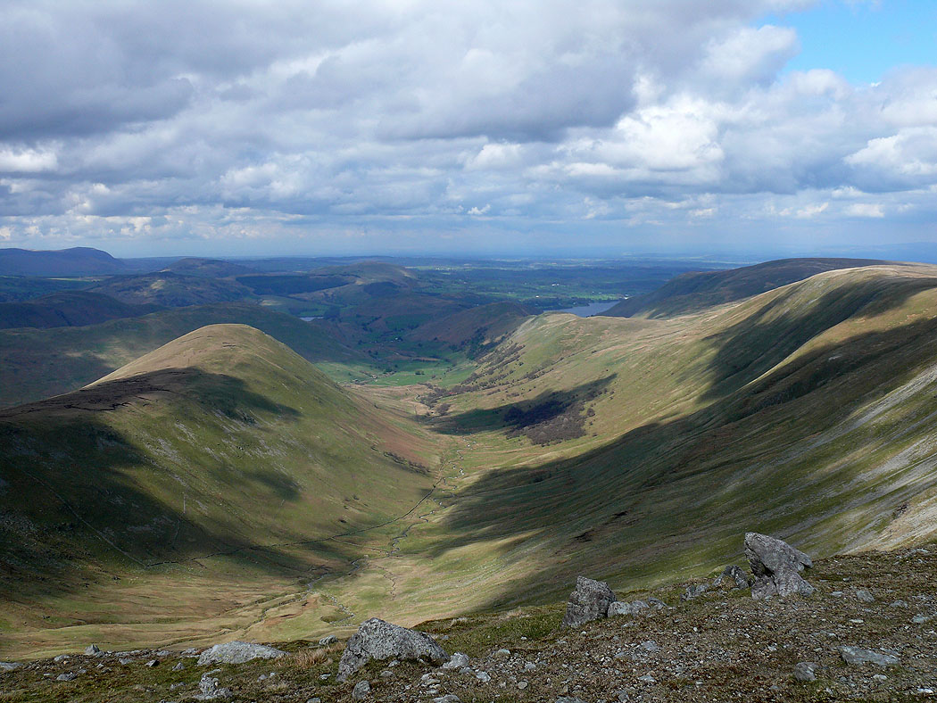
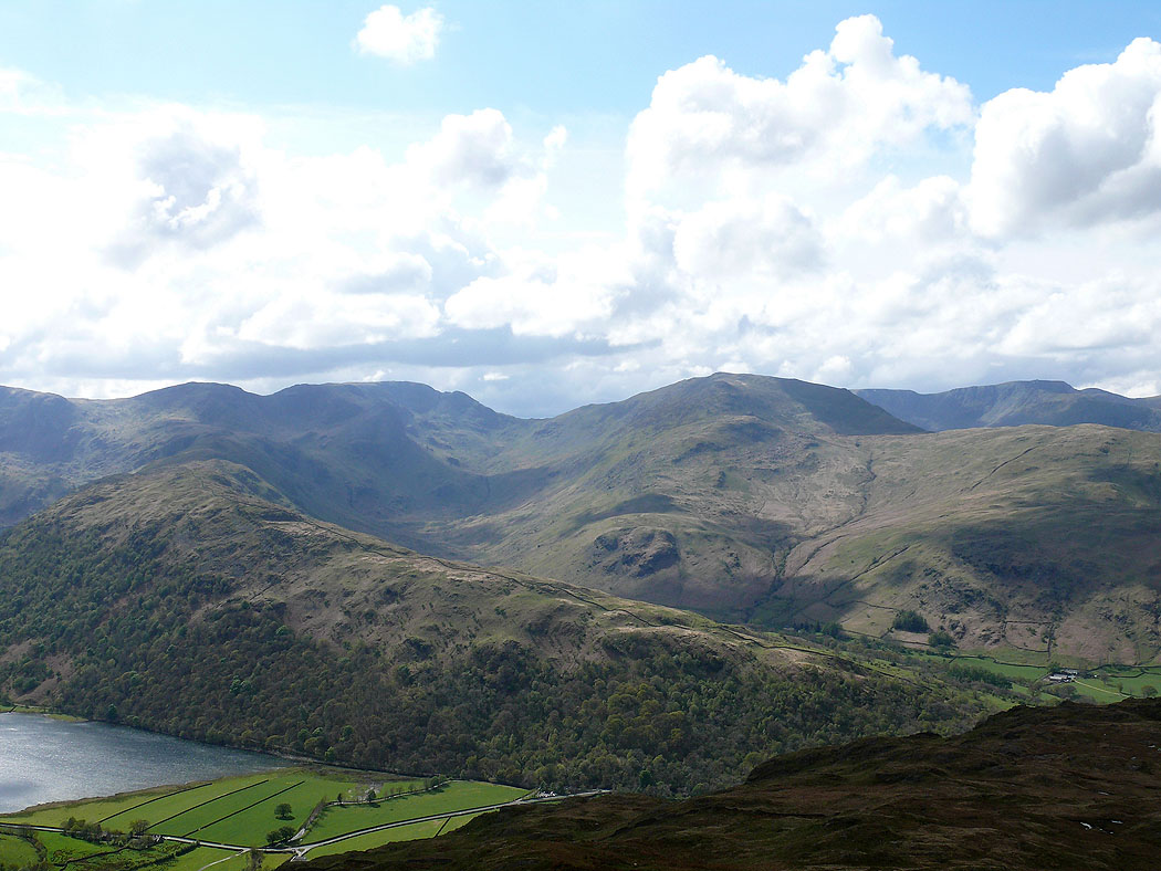
The view down Ramps Gill to Martindale
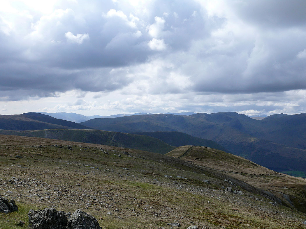
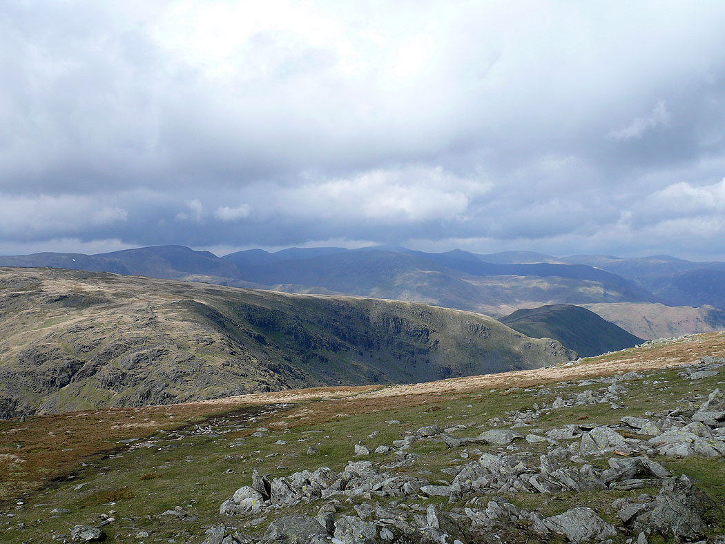
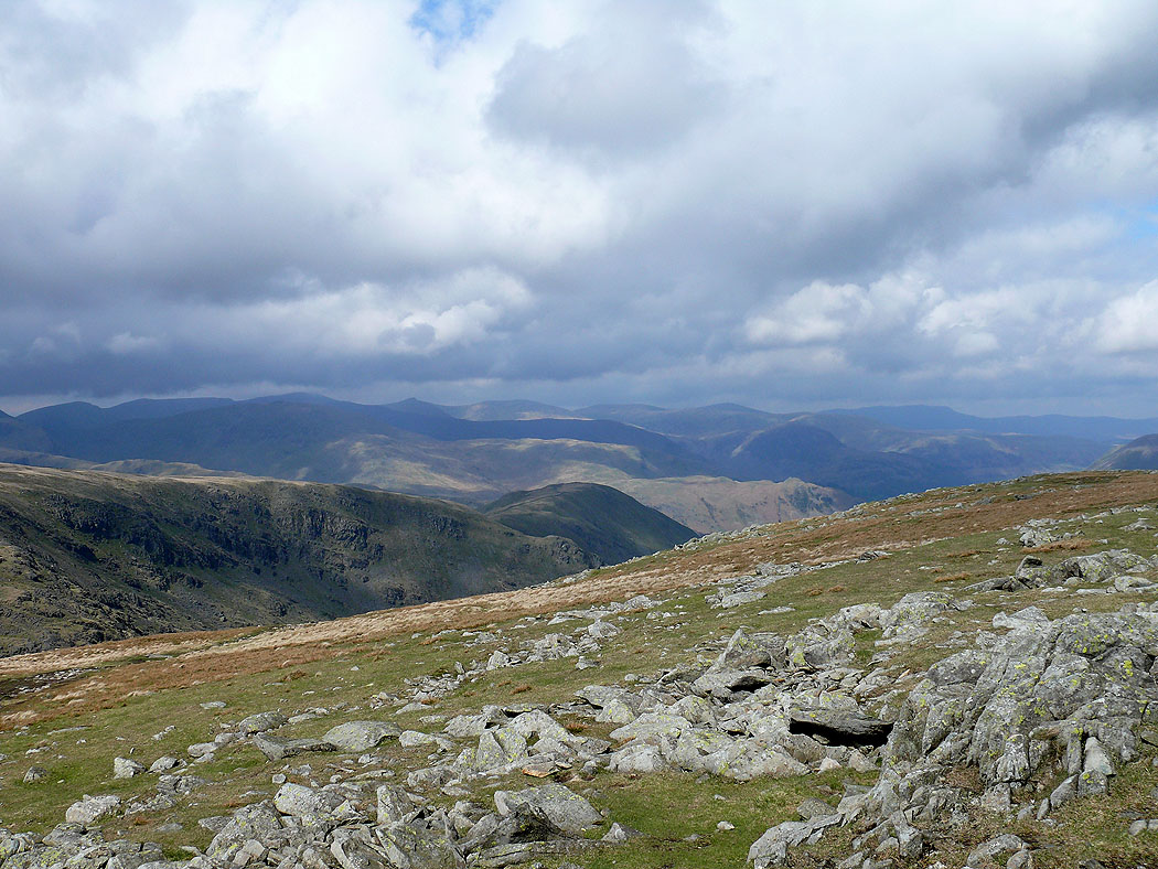
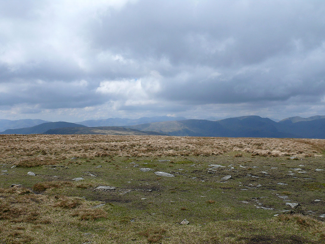
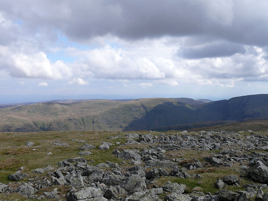
Lots of fells in view to the west
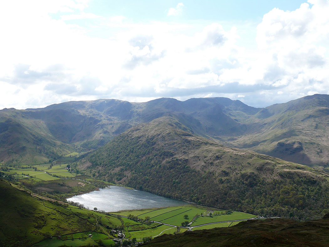
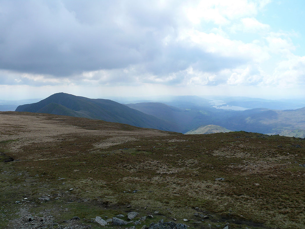
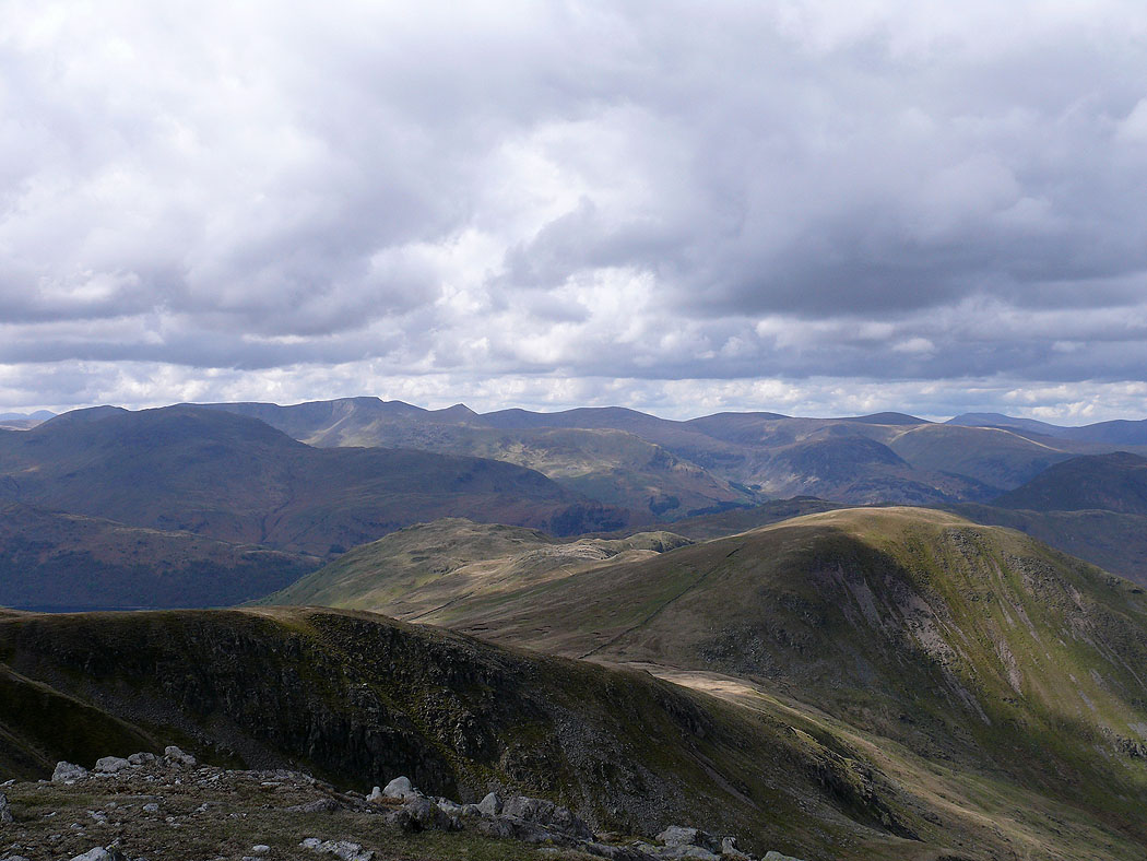
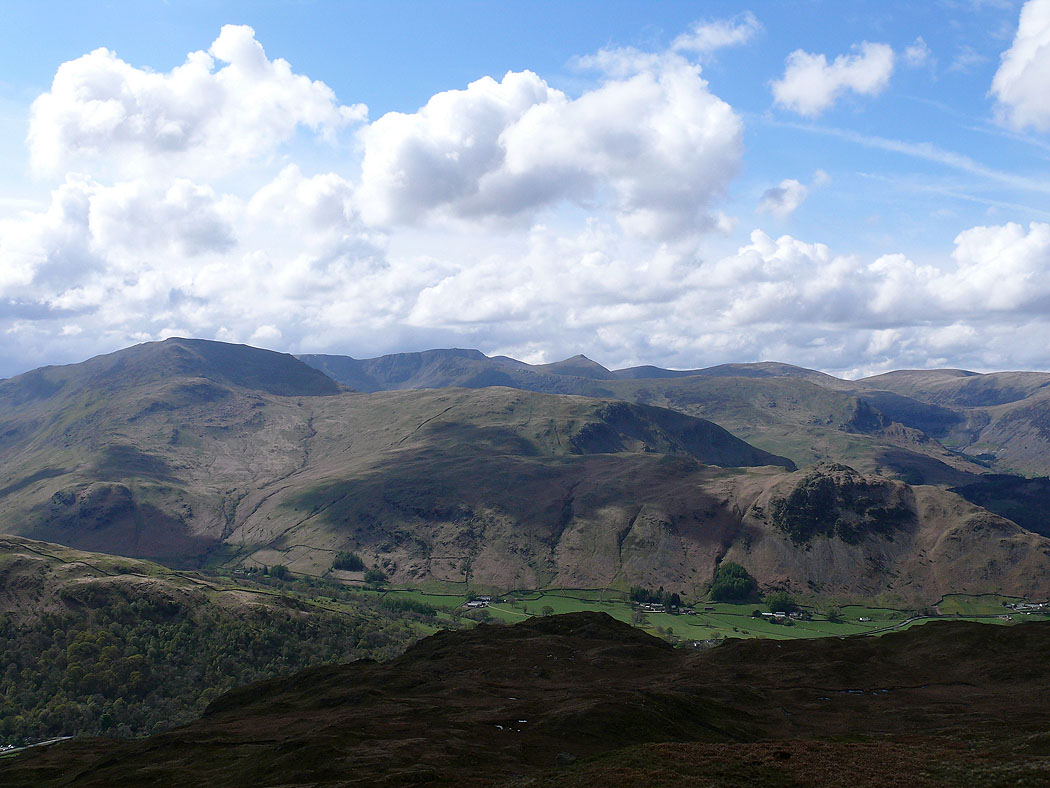
Final summit of the day, Brock Crags. Dove Crag, Hart Crag, Fairfield and the ridge of Hartsop-above-How. Brothers Water below.
St. Sunday Crag, Helvellyn and Catstye Cam
The ridge of Hartsop-above-How leading upto Hart Crag, Fairfield, St. Sunday Crag and Helvellyn
The view northwest towards the Dodds with a bit of Ullswater visible
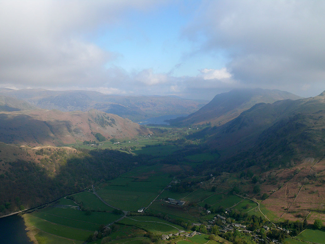
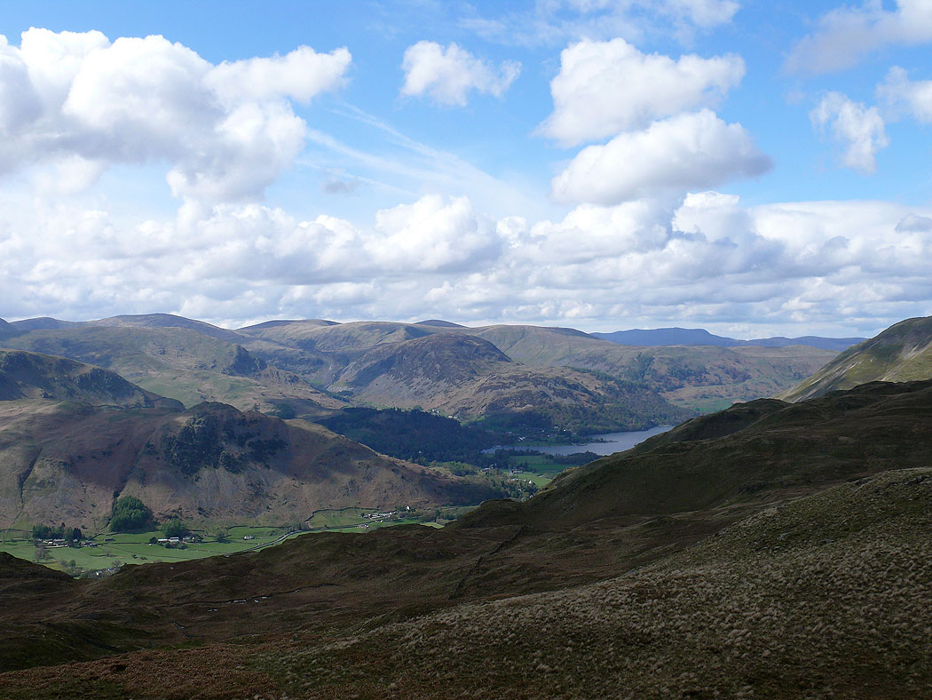
I've made my way to Boredale Hause and I'm now on the path back to Hartsop. Patterdale and Ullswater below.
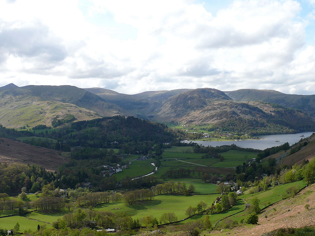
Deepdale enclosed by the ridge of Hartsop-above-How