26th August 2012 - High Brown Knoll & Luddenden Dean
Walk Details
Distance walked: 10.1 miles
Total ascent: 1478 ft
OS map used: OL21 - South Pennines
Time taken: 6.5 hrs
Route description: Chiserley-Calderdale Way-Churn Milk Joan-Midgley Moor-Catherine House-The Lowe Farm-Higher Height Farm-Warley Moor-Rocking Stone-Warley Moor Reservoir-Catchwater Drain-High Brown Knoll-Deer Stones Edge-Chiserley
A rough walk on the moorland above Hebden Bridge. It was really wet underfoot, properly the worst I've experienced for persistent squelchiness.
I parked in the village of Chiserley above Hebden Bridge to start this walk. After a short road walk I took a path uphill to join the Calderdale Way to go around the southern end of Midgley Moor to the standing stone of Churn Milk Joan. There was then a walk across the moor before heading down into the valley of Luddenden Dean. I crossed to the other side of the valley and up onto Warley Moor to visit the Rocking Stone. I then followed a faint path to Warley Moor Reservoir. The route back to Chiserley followed a path by the Catchwater Drain from the end of the reservoir across the moors to eventually arrive at the trig point on High Brown Knoll. A path down Deer Stones Edge took me back to Chiserley.
Route map
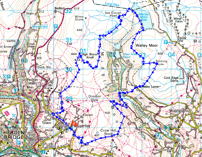
© Crown copyright. All rights reserved. License number PU 100034184.
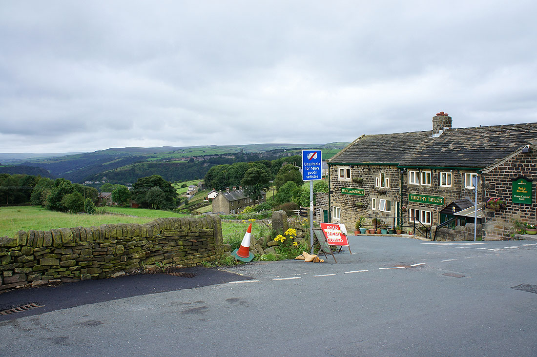
The start of the walk by the Hare & Hounds pub in the village of Chiserley. There was a bit of brightness in the sky at this point.
Calderdale heading up towards Todmorden. The Stoodley Pike monument is on the hill on the left.
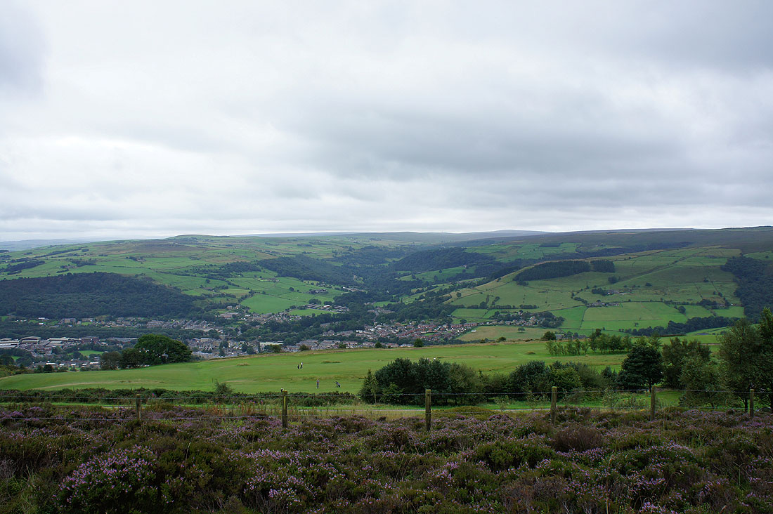
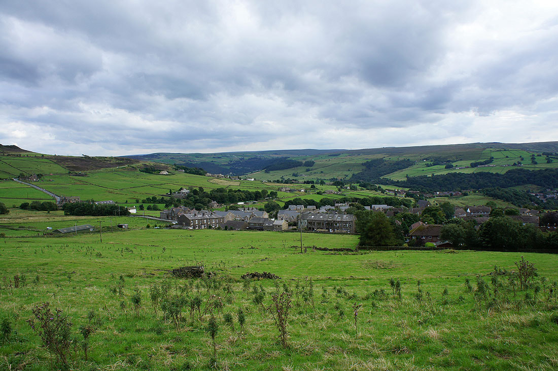
Mytholmroyd and Cragg Vale
Down Calderdale
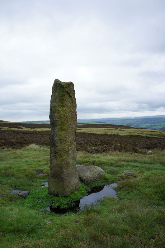
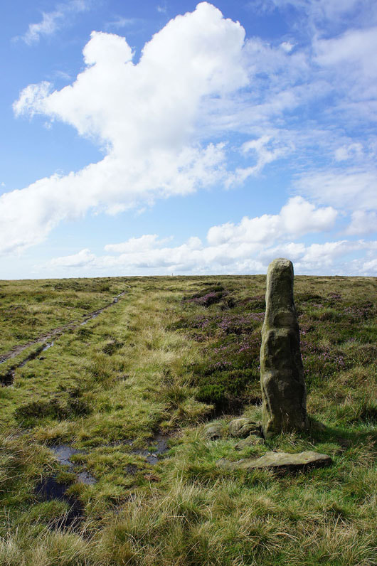
The standing stone of Churn Milk Joan. Now to cross Midgley Moor for Luddenden Dean.
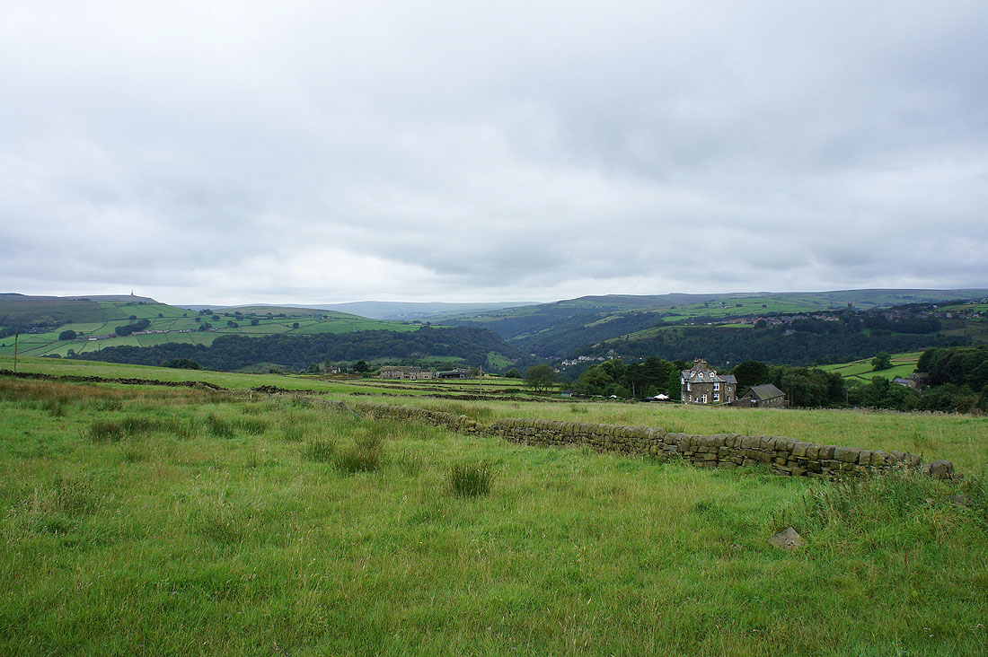
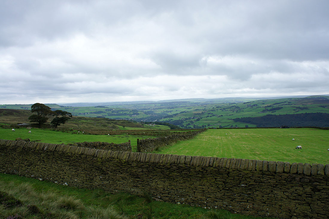
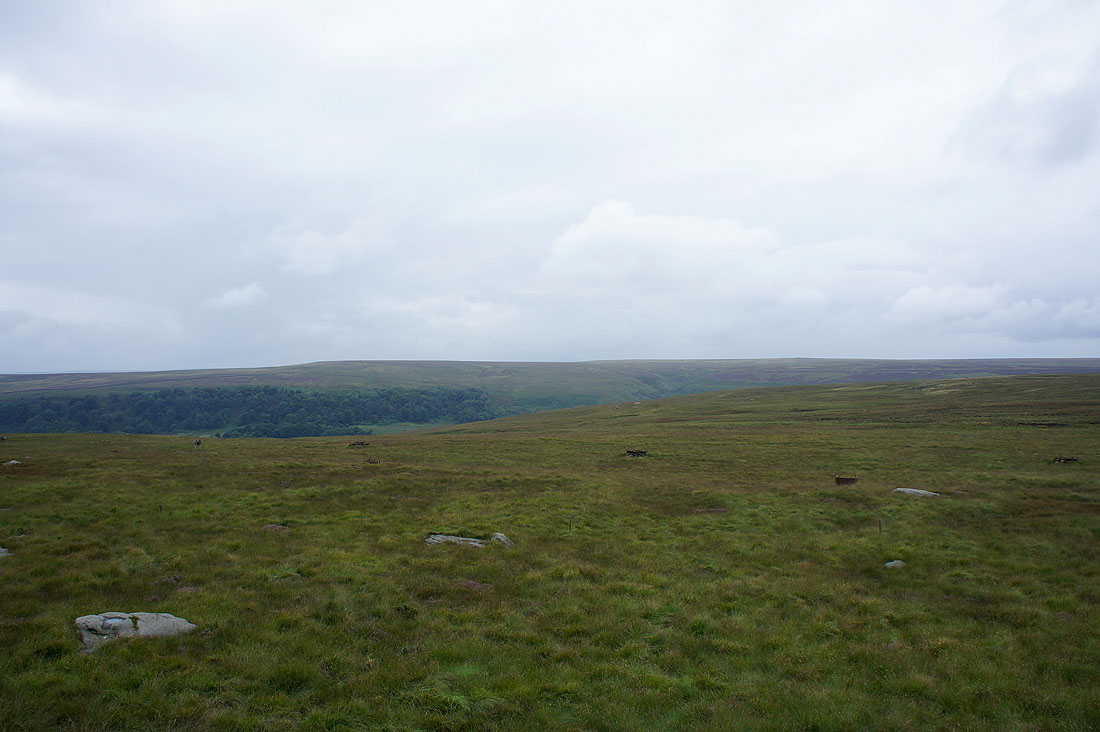
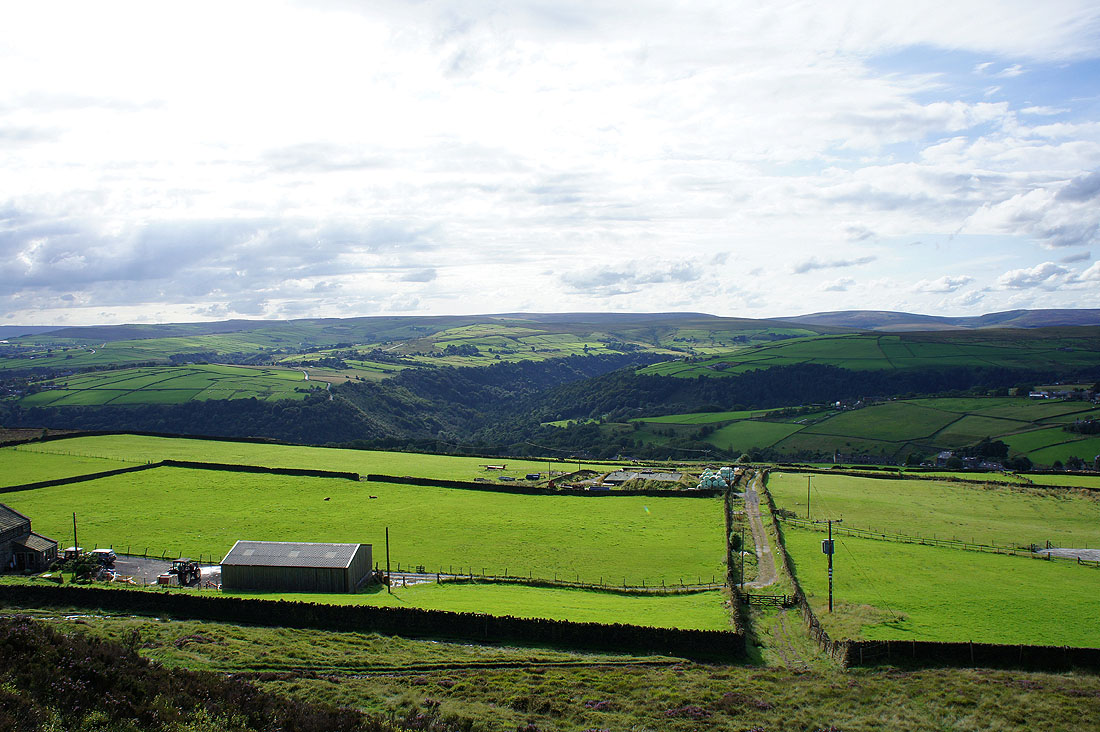
The head of Luddenden Dean. I'll be crossing to the other side of the valley past the farm buildings below.
and the view down the valley
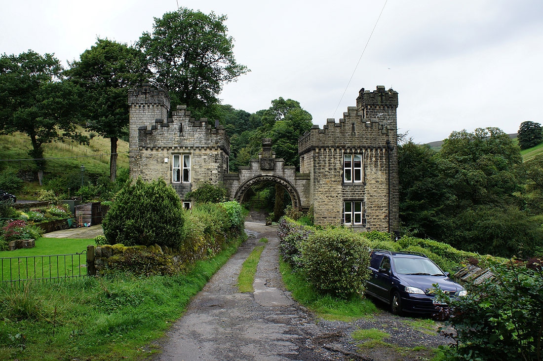
The path down into the valley joined a track at Catherine House Farm. I followed this up to The Lowe Farm, through the arch and then downhill to cross Luddenden Brook at Low Bridge.
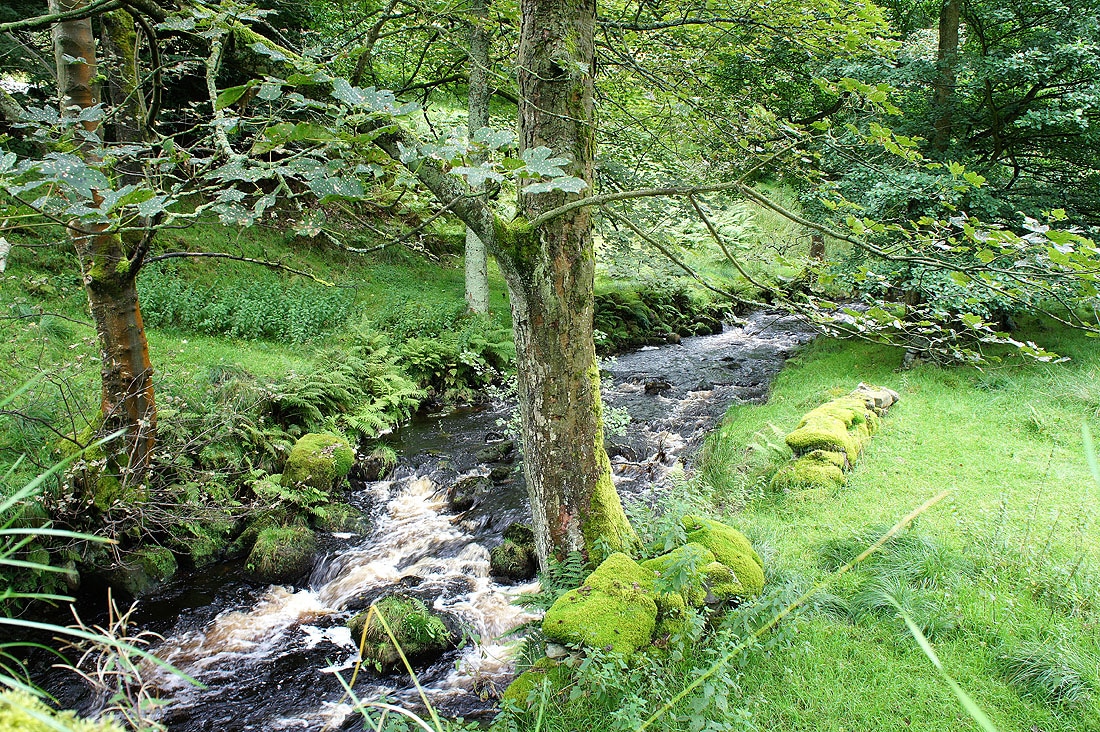
Luddenden Brook
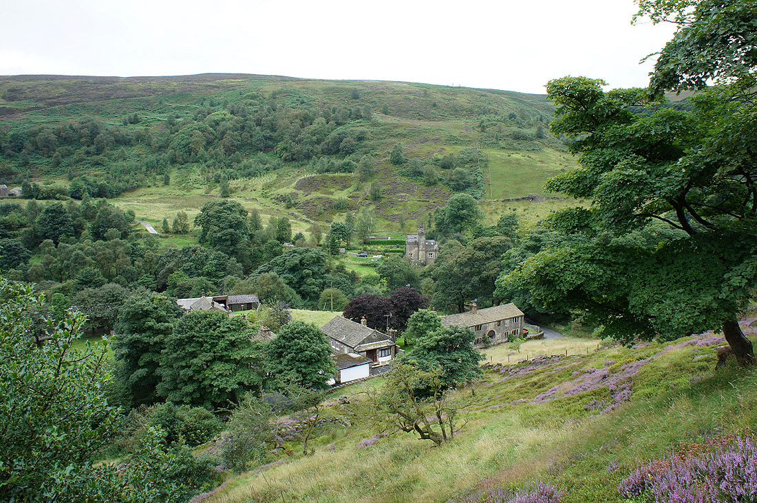
Heading uphill and I decided to take a picture of the tranquil scene below before heading up onto the moors
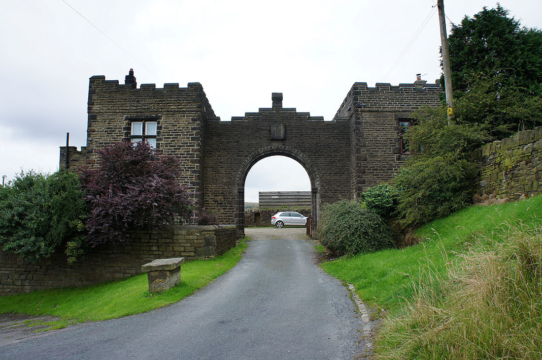
Another castellated building at Higher Height Farm. Now up onto Warley Moor and the Rocking Stone.
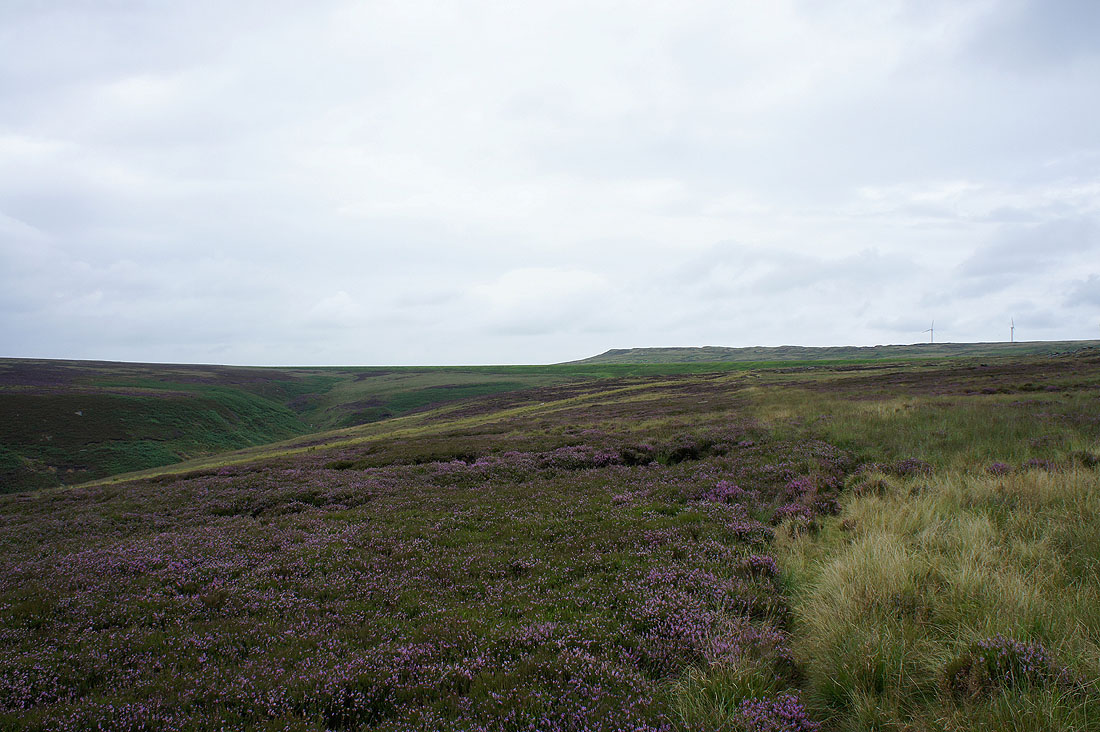
A moorland view at The Rocking Stone
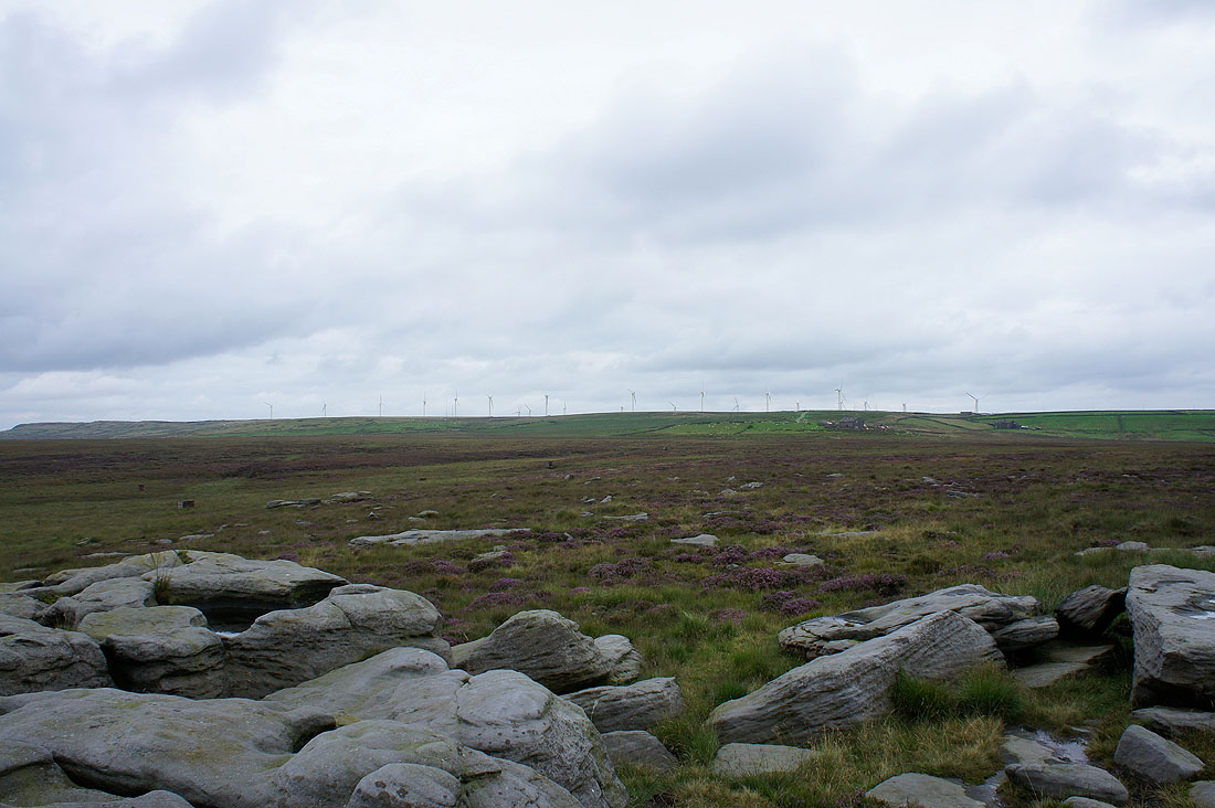
Ovenden Moor and its windfarm
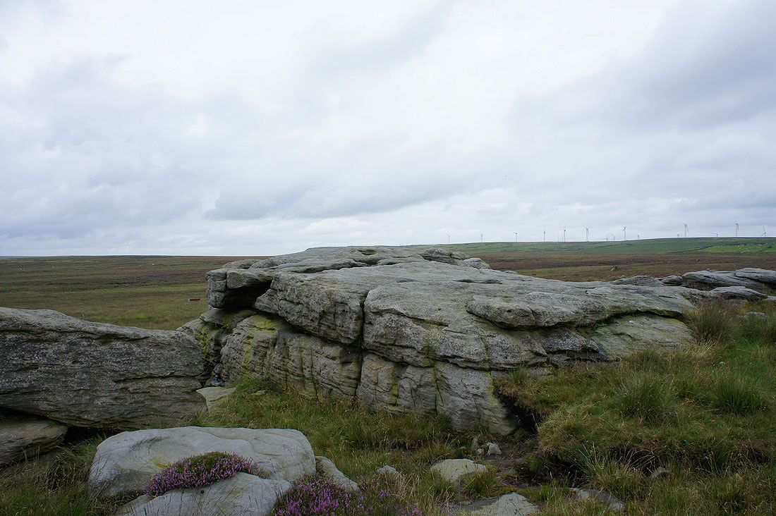
The Rocking Stone. It doesn't.
Fulshaw Clough. From the Rocking Stone I followed a line of grouse butts west down to a path that follows a drain across Warley Moor to Warley Moor Reservoir.
After a lot of tussocky grass and heather the dam of the reservoir is not far away
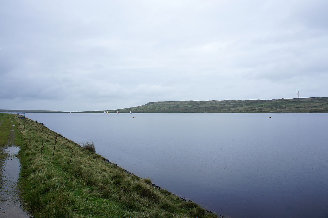
Warley Moor Reservoir and it's started to chuck it down
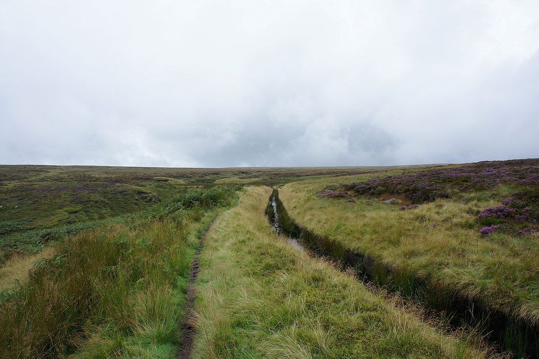
From the end of the dam and I'm going to be following this path next to the Catchwater Drain marked on the map as it winds its way across the moor
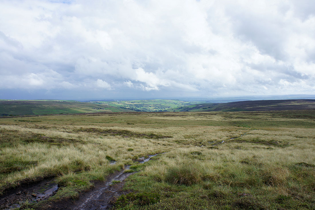
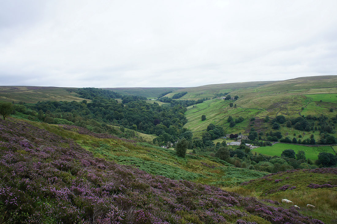
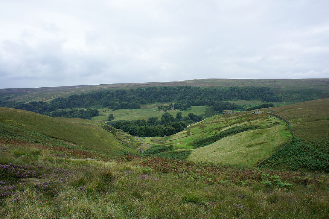
The rain is clearing and this is the last view I'll have of Luddenden Dean as I now head to the trig point on High Brown Knoll
Another standing stone. The path is called "Limers Gate" and goes past the trig point.
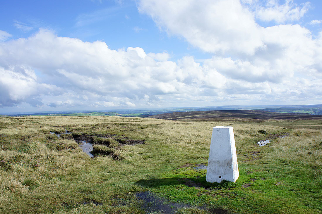
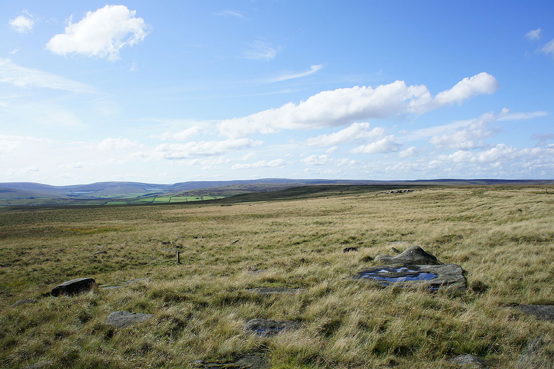
On High Brown Knoll and I have the best weather of the day for the best views. Midgley Moor is behind the trig point.
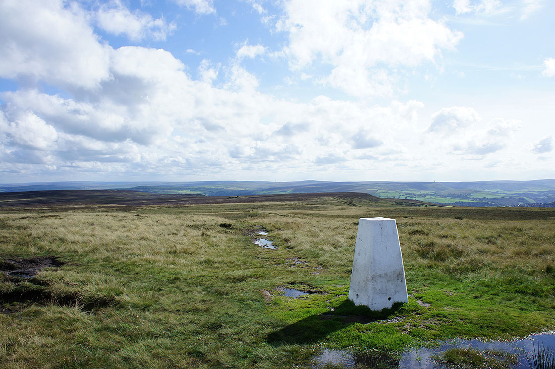
A South Pennine view. The high point just to the left of the trig point is Blackstone Edge.
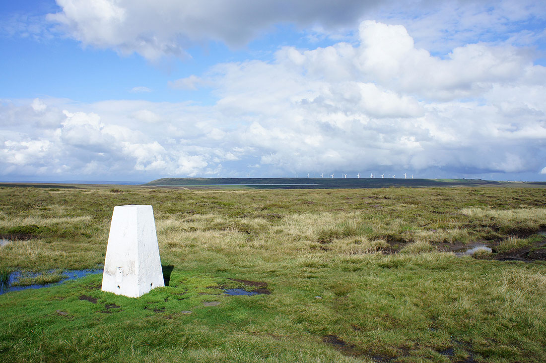
Ovenden Moor and its windfarm
There are some large gritstone boulders just to the north of the trig point so that was where I decided to have a sit down and take in the view. Here I'm looking towards Lad Law, the summit of Boulsworth Hill, the high point in the middle of the picture.
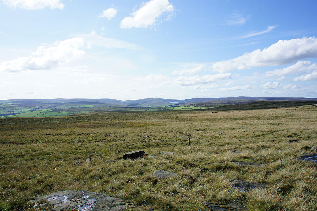
The moors of the Pennine watershed. Hoof Stones Height is on the left then Widdop Moor and Boulsworth Hill on the right.
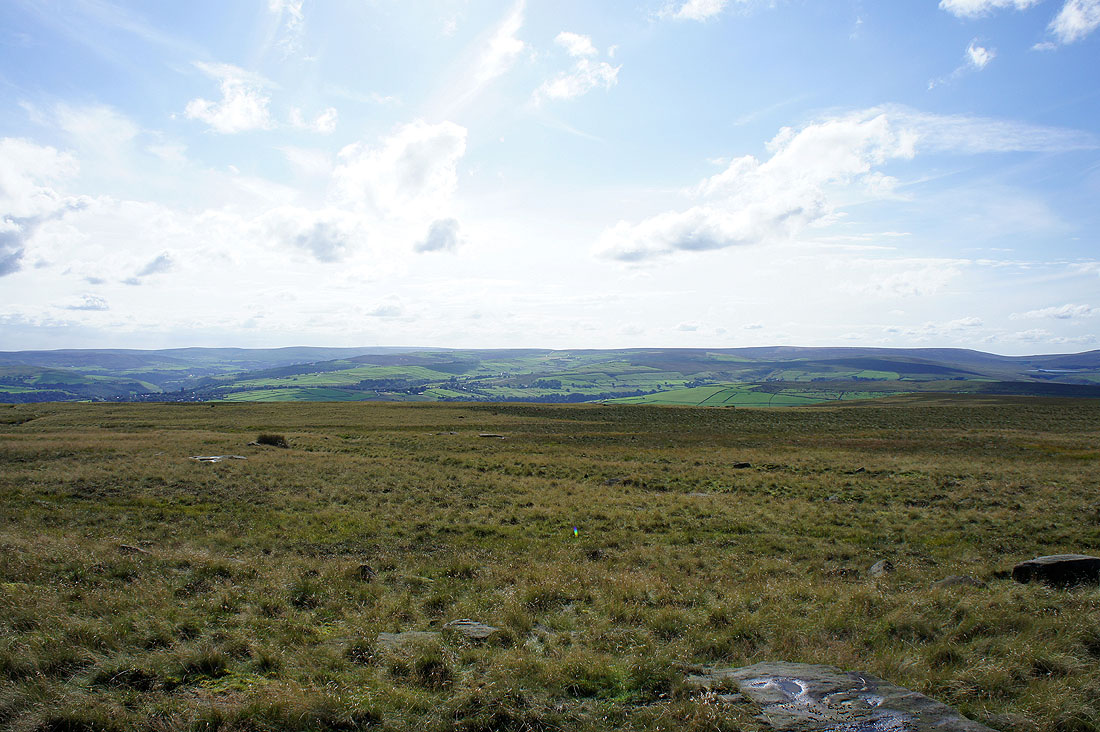
Freeholds Top round to Heald Moor then Hoof Stones Height
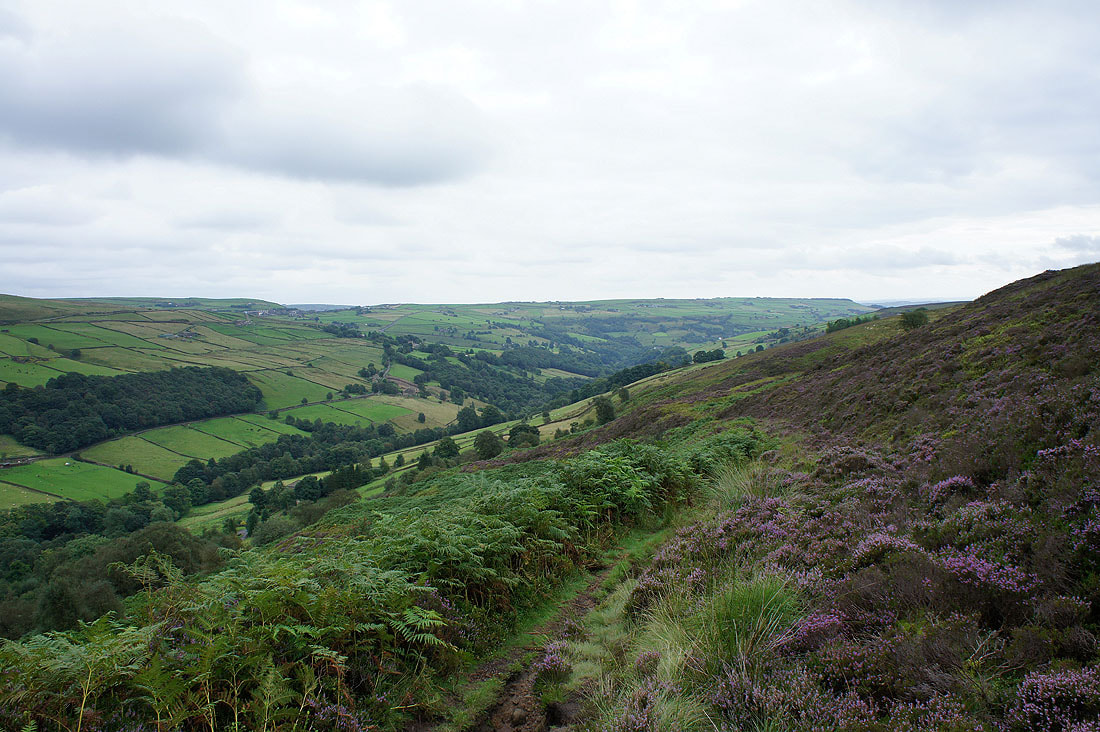
I've left High Brown Knoll to head down to Chiserley and a moorland view from Deer Stones Edge
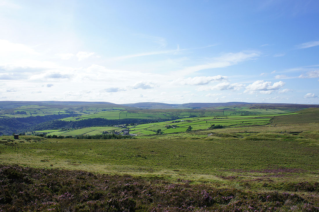
Just above Moor Side Farm and I can see the thickly wooded valleys of Hardcastle Crags and Crimsworth Dean
Just a short walk back to Chiserley remains