26th August 2013 - Flasby Fell & Barden Moor
Walk Details
Distance walked: 13.2 miles
Total ascent: 2304 ft
OS map used: OL2 - Yorkshire Dales, Southern & Western areas
Time taken: 6 hrs
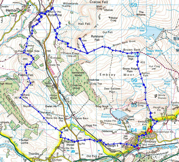
Route description: Embsay-Brackenley Lane-Sharp Haw-Rough Haw-Rylstone-Rylstone Cross-Barden Moor-Embsay Moor-Embsay
A fine warm Bank Holiday Monday for this walk on the edge of the Yorkshire Dales just outside Skipton.
After parking in Embsay I left the village along Brackenley Lane, which I followed all the way to its end at the Grassington Road. A footpath directly on the other side of the road was then taken, which brought me to a lane and then a bridleway and the top of Sharp Haw. I then visited Rough Haw before following field footpaths to the village of Rylstone. After crossing back over the Grassington Road my route back to Embsay was the bridleway across Barden Moor with a visit to Rylstone Cross on the way.
Route map
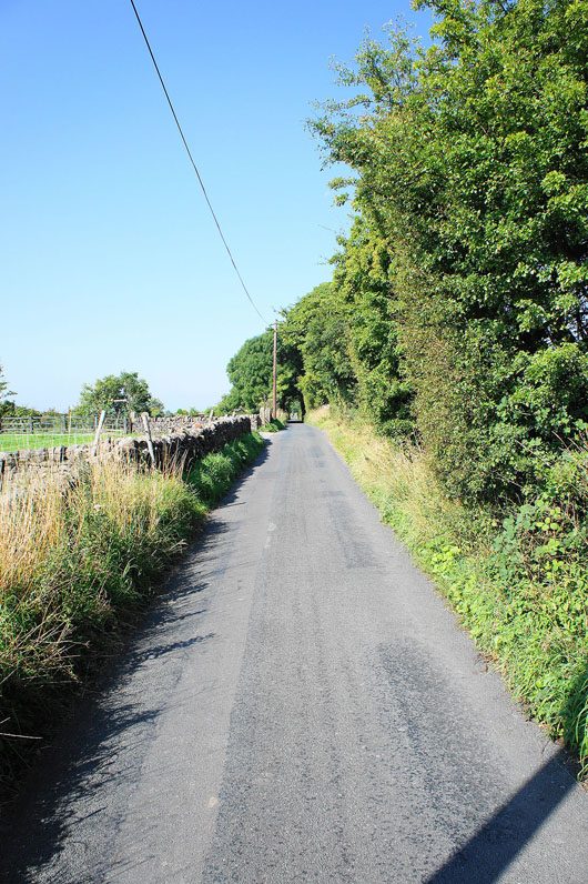
Leaving Embsay behind on Brackenley Lane
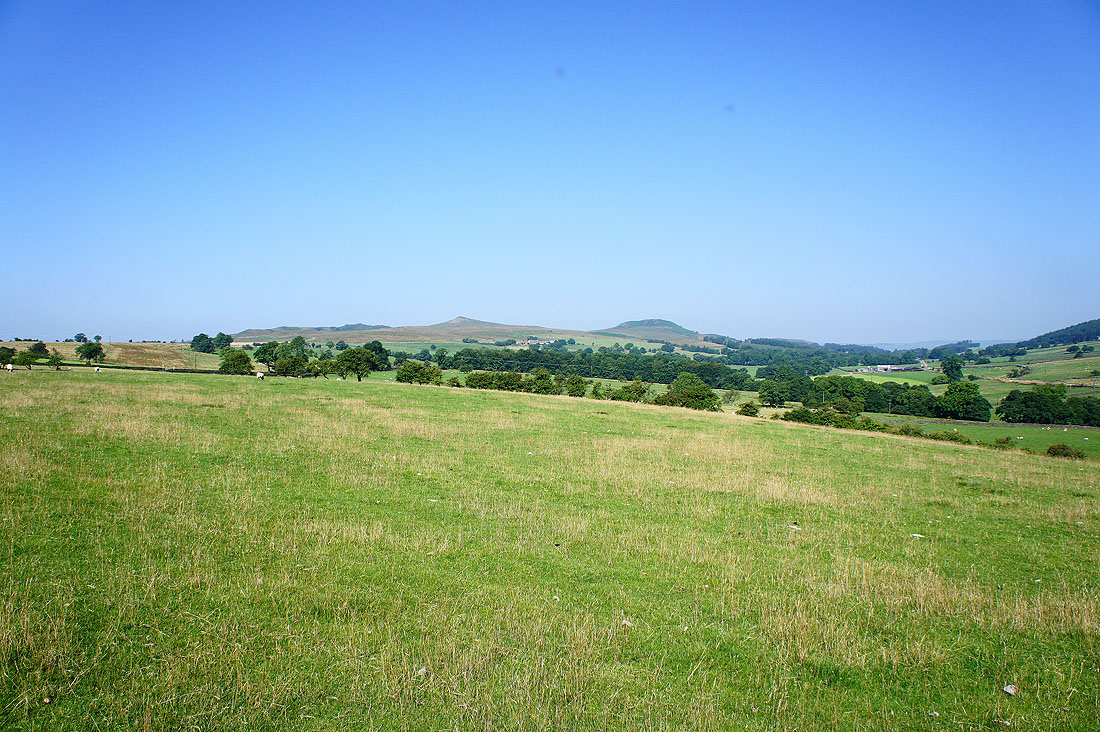
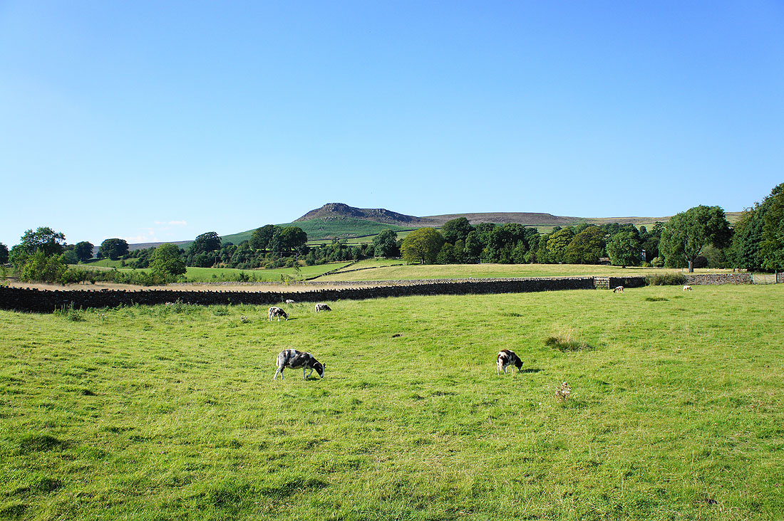
As I approach the Grassington Road Sharp Haw and Rough Haw come into view
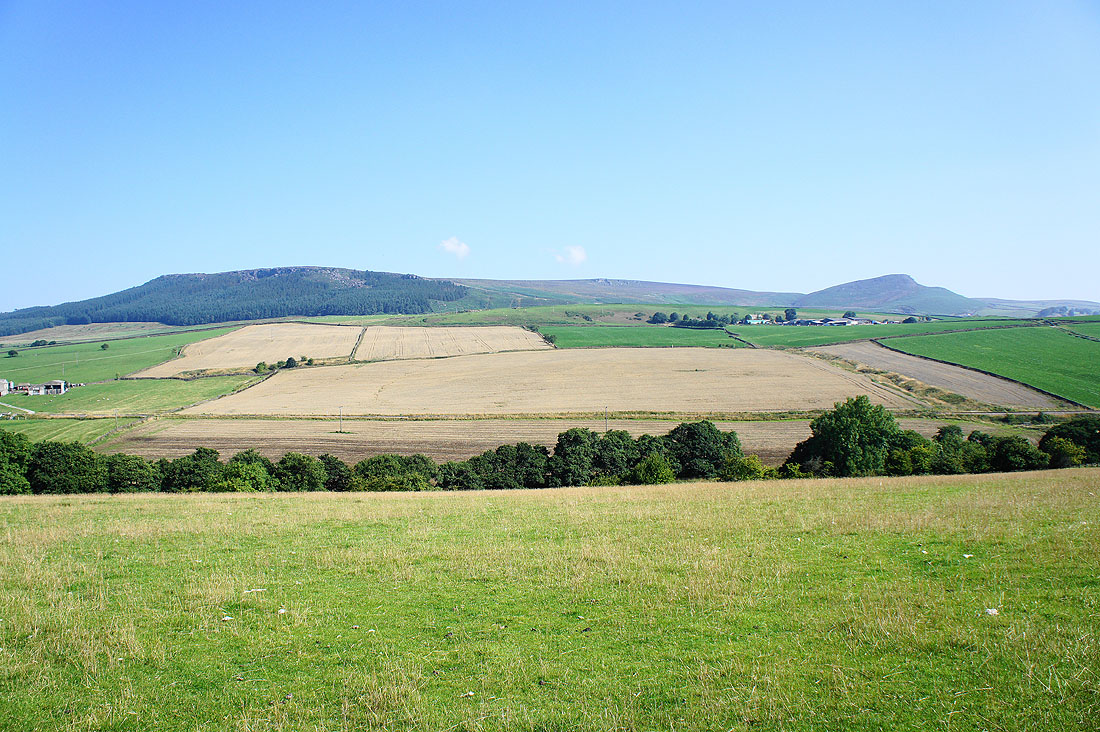
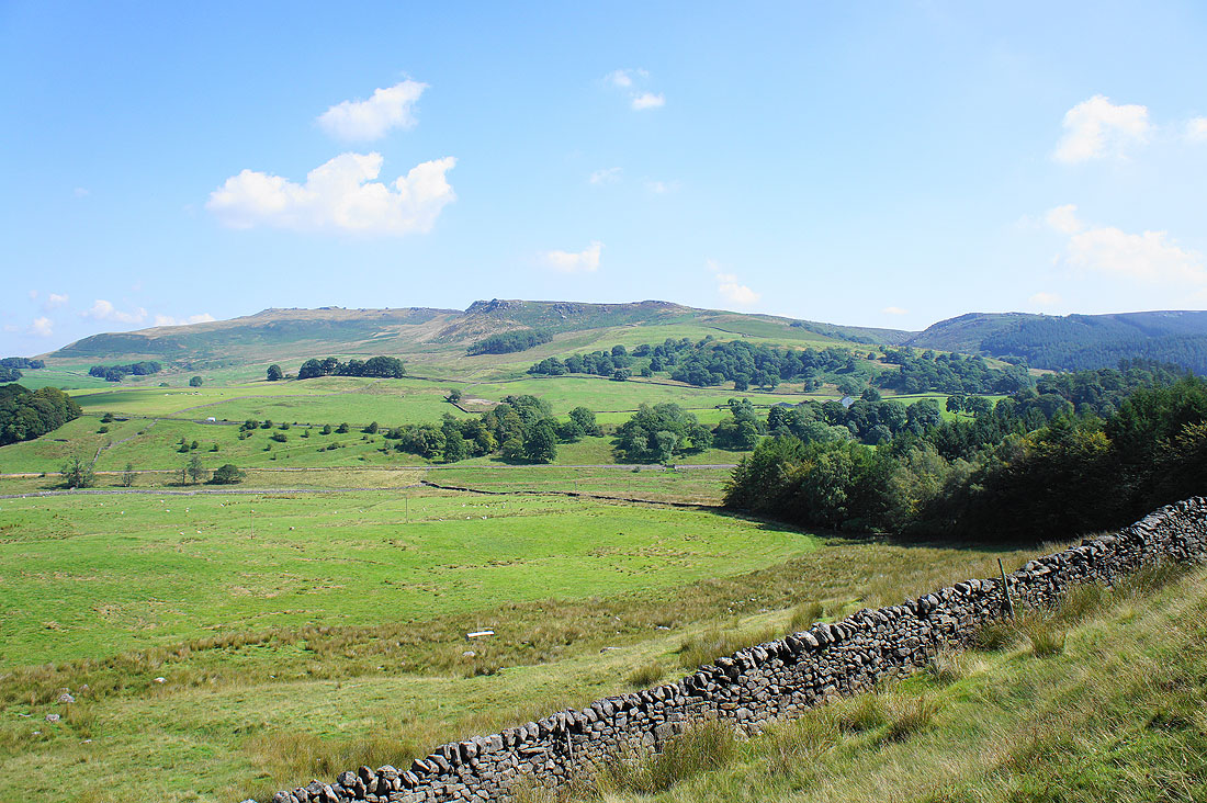
Over to my right are Crookrise Crag and Embsay Crag
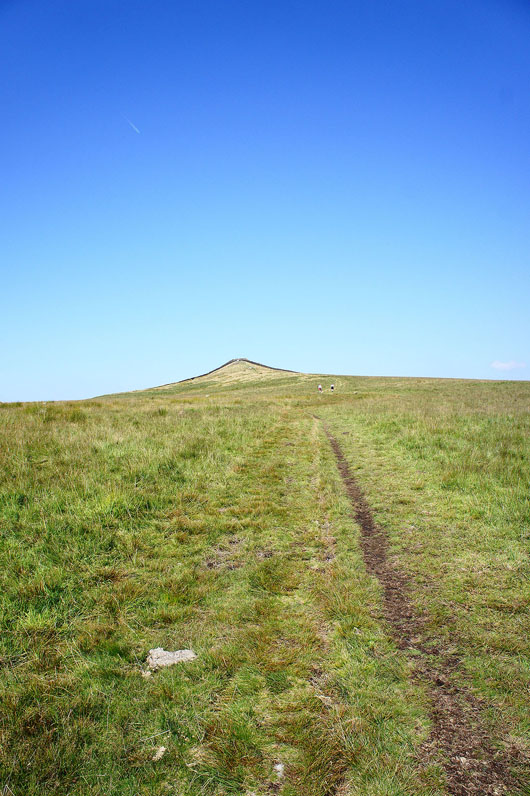
Across the Grassington Road and I'm on the path to the top of Sharp Haw
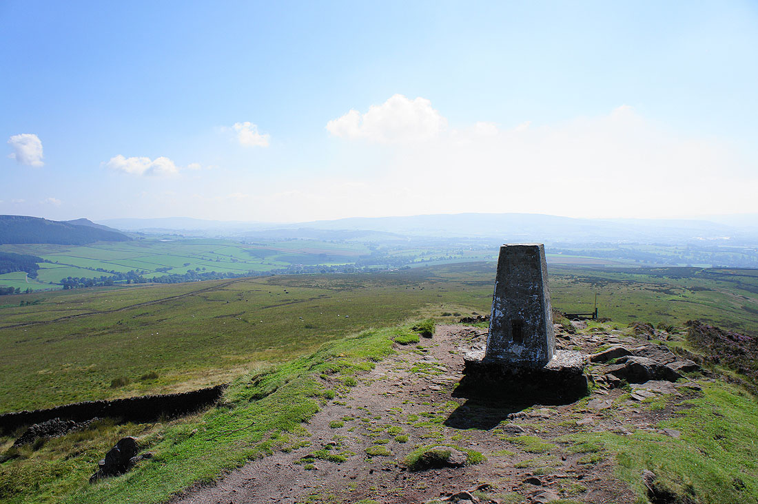
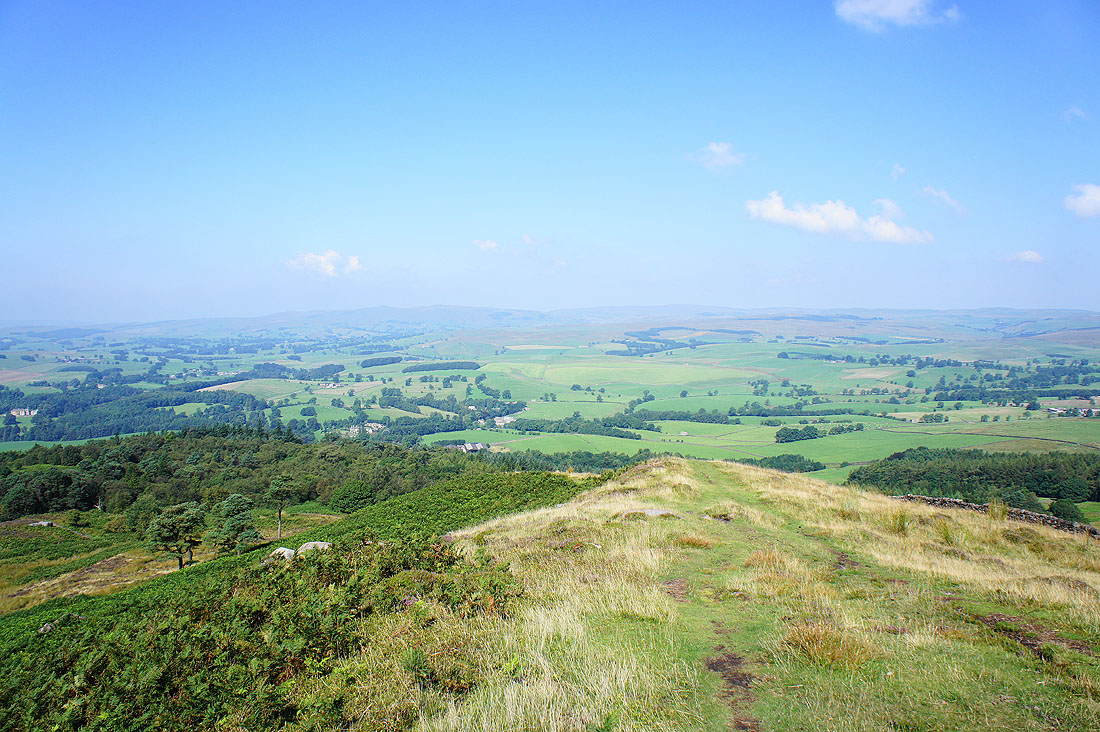
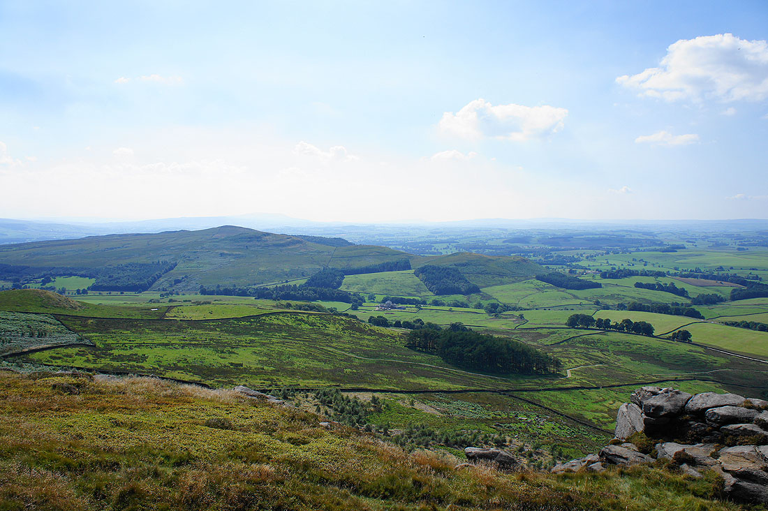
Views from the top of Sharp Haw. Looking towards the hill of Beamsley Beacon.
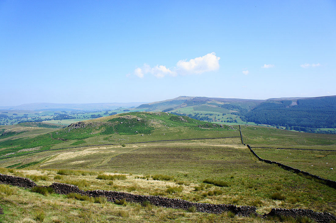
The next top of Rough Haw just below with Rylstone Fell in the background
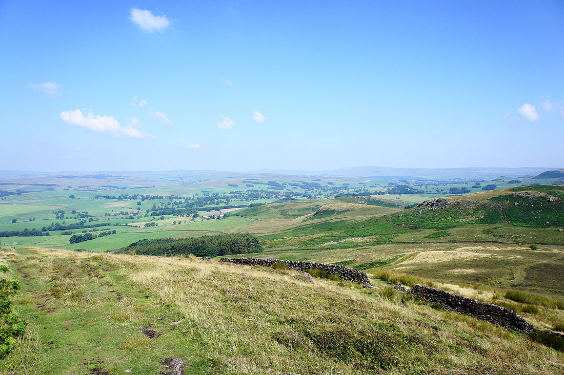
The hills above Wharfedale in the distance
and those above Malham
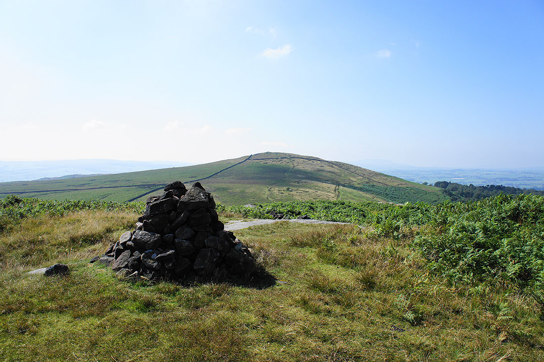
On the next top of Rough Haw looking back to Sharp Haw
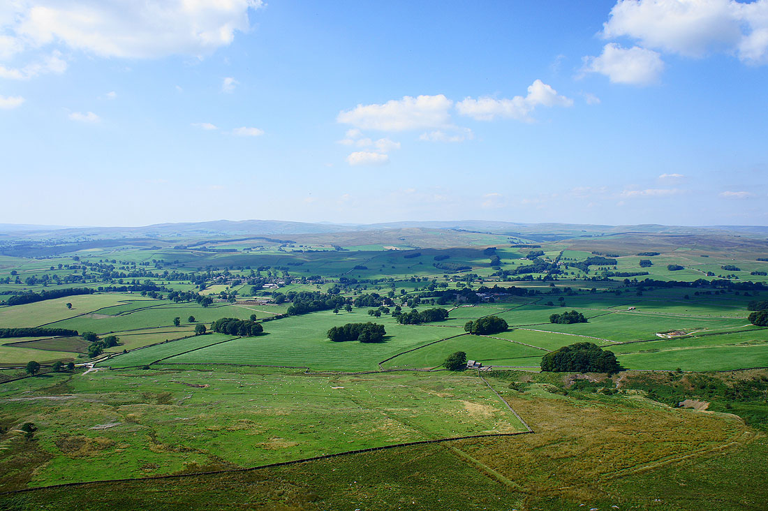
The road to Grassington runs below with the hills of Buckden Pike and Great Whernside in the distance
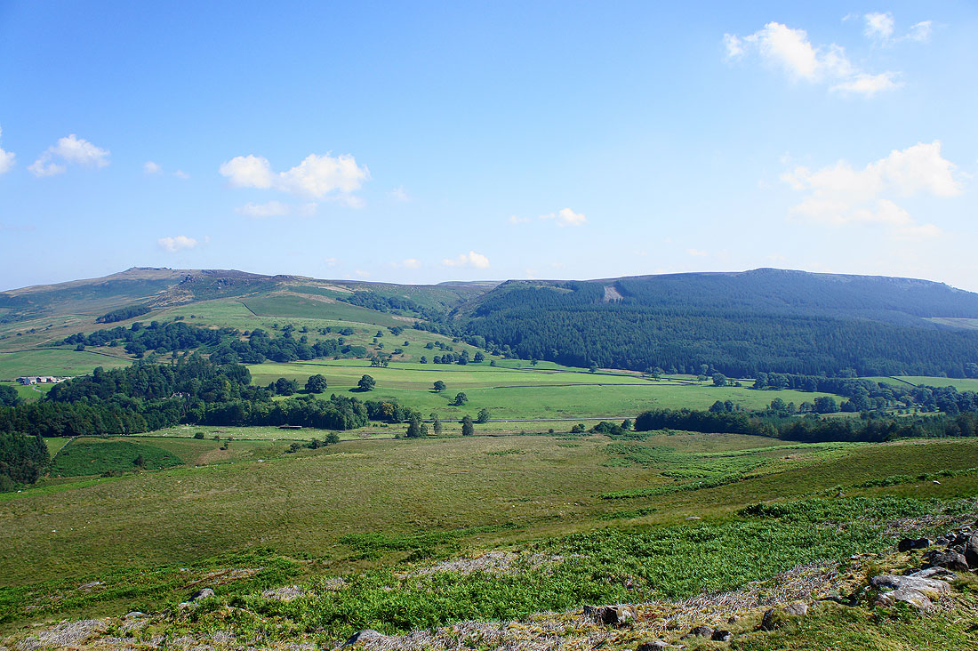
Rylstone Fell and Crookrise Crag
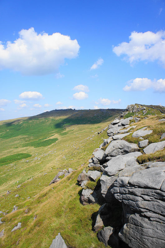
Looking across to the crags of Rylstone Fell as I head down to Rylstone. The Cracoe Pinnacle and Rylstone Cross are up there.
St. Peter's Church, Rylstone
On the bridleway that will take me across Barden Moor but I'm going to visit Rylstone Cross first. It's on the crag directly above.
Views from by Rylstone Cross. Buckden Pike and Great Whernside above Wharfedale.
Along the crags to the Cracoe Pinnacle
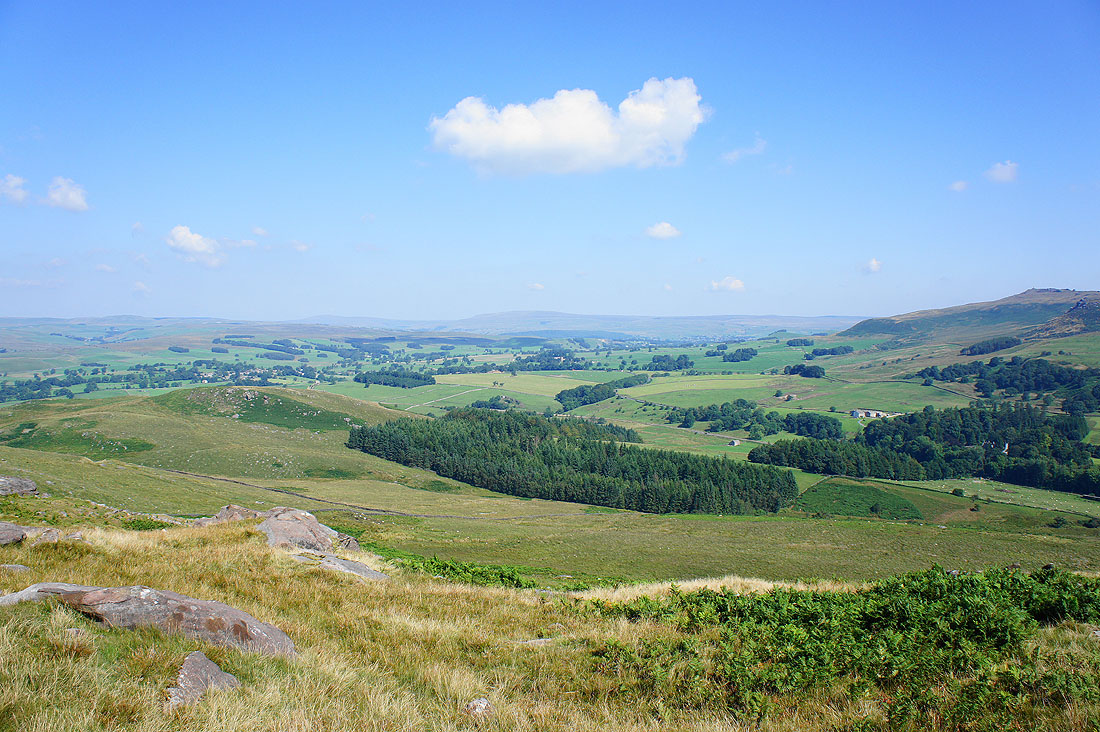
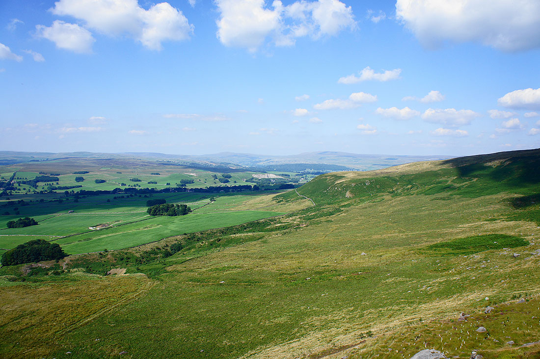
Looking towards the moors above Malham including Rye Loaf Hill and Weets Top
Flasby Fell below on the left
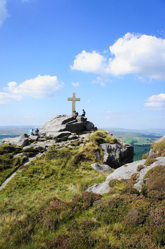
The Rylstone Cross
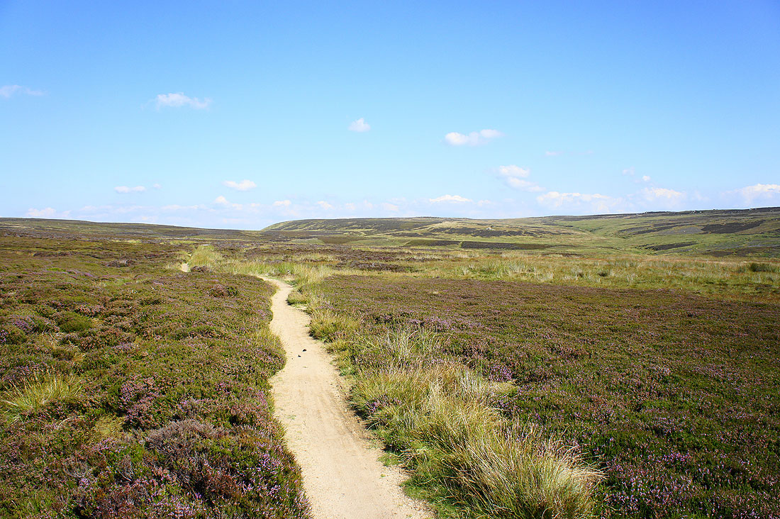
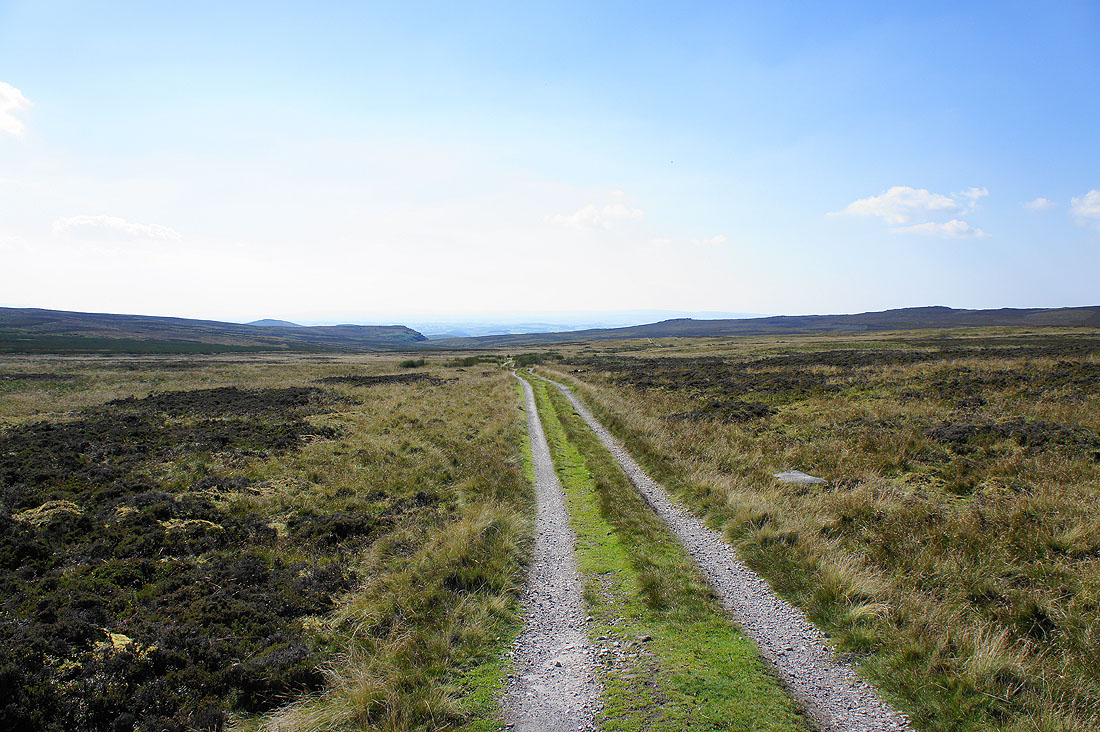
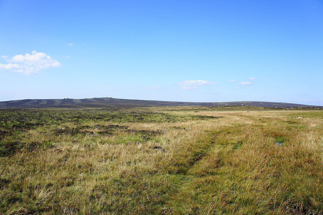
Heading across Barden Moor..
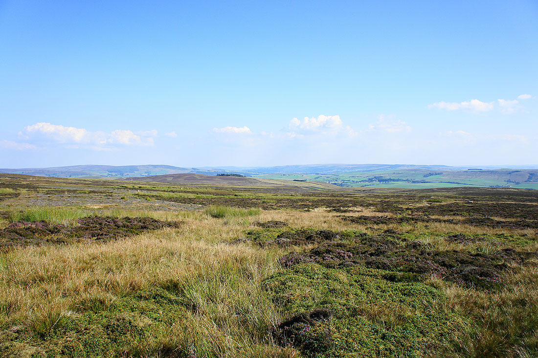
..with views of heathery moors to enjoy..
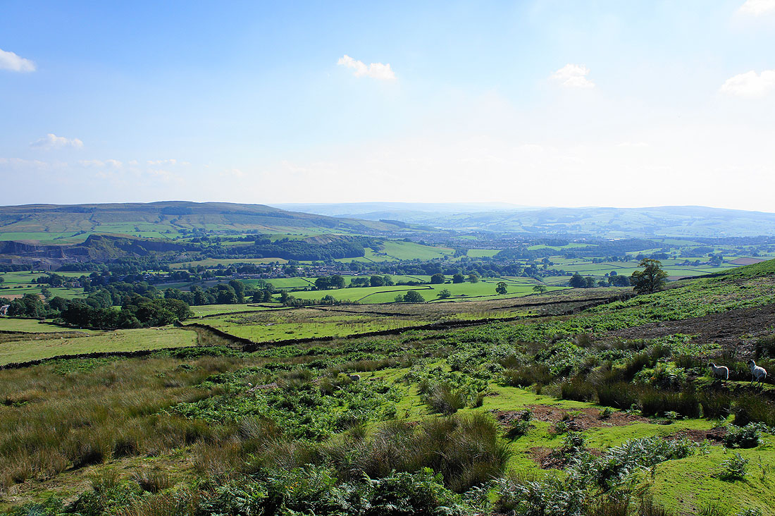
I've finally reached the other side of Barden Moor for the descent back to Embsay. That's Skipton Moor on the other side of the valley on the left.
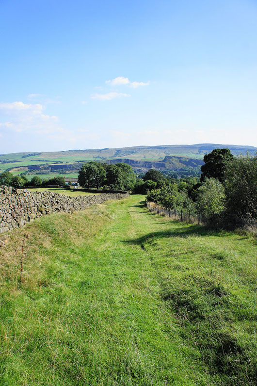
Looking back as I reach Embsay and that's High Crag on Halton Height in the background
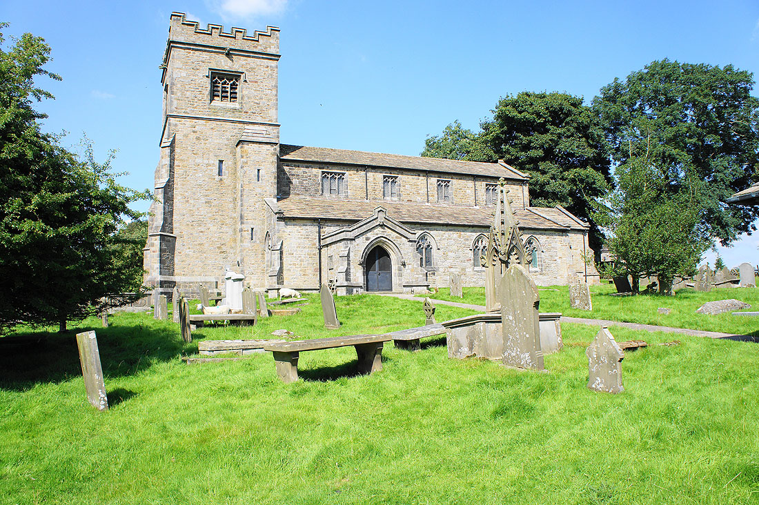
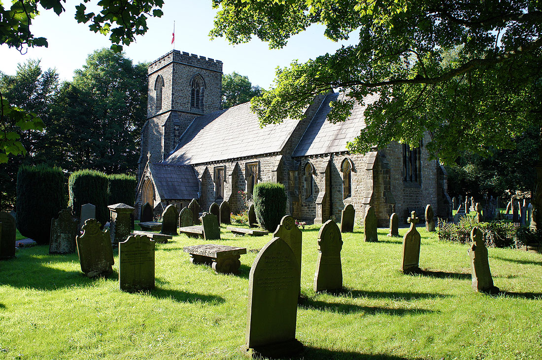
St. Mary's Church, Embsay
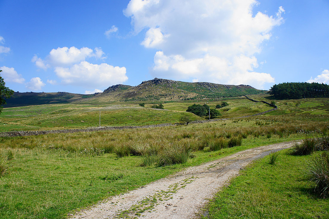
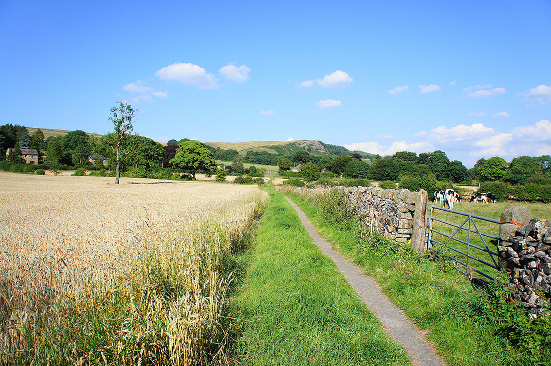
One last field to cross to reach the car park with a view of Embsay Crag to enjoy
