26th December 2013 - The Calf
Walk Details
Distance walked: 7.9 miles
Total ascent: 2521 ft
OS map used: OL19 - Howgill Fells & Upper Eden Valley
Time taken: 4 hrs
Route description: Sedbergh-Howgill Lane-Lockbank Farm-Settlebeck Gill-Arant Haw-Calders-The Calf-Calders-Settlebeck Gill-Joss Lane-Sedbergh
An ill-fated walk up The Calf in the Howgills today. The forecast had been for the clouds to be above the tops and even a bit of sunshine. When I arrived in Sedbergh the sun was out and the tops were clear but that didn't last. The cloud came down while I was on Arant Haw and just got lower throughout the day. Since I was already up there I decided to carry on with my walk to The Calf and back. It's a route I've done several times and is easy to follow so I had no worries about going astray. The white stuff on the ground isn't snow but soft hail and it was tricky to walk on.
From Sedbergh I walked up Howgill Lane to Lockbank Farm to take the footpath through the farmyard. I then followed the bridleway around the side of Winder, up by Settlebeck Gill and on to Calders and The Calf with a detour to the top of Arant Haw. To head back I simply retraced my steps without the detour and down Joss Lane into Sedbergh.
Route map
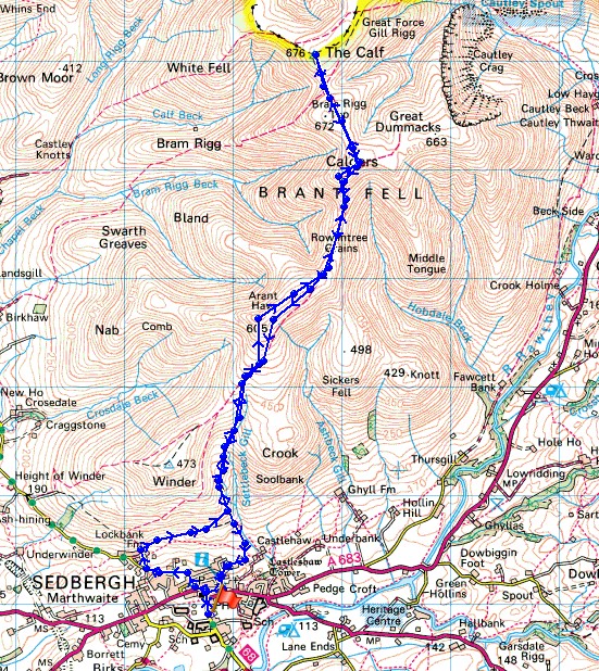
© Crown copyright. All rights reserved. License number PU 100034184.
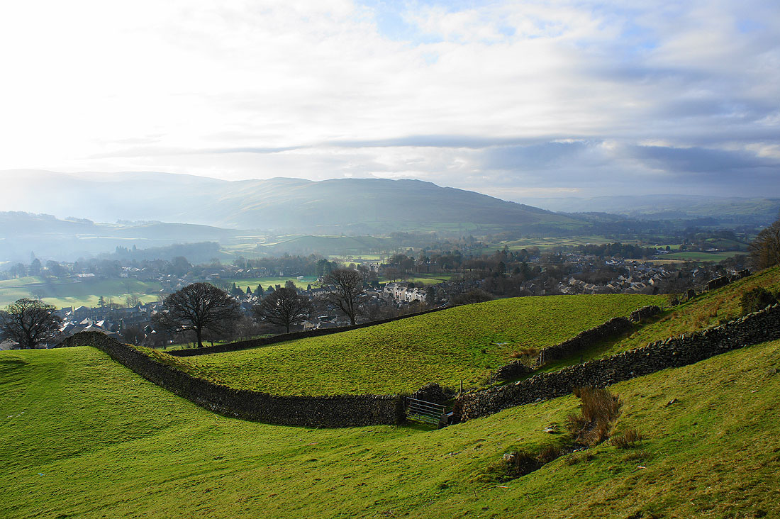
Sedbergh and the Rawthey valley below
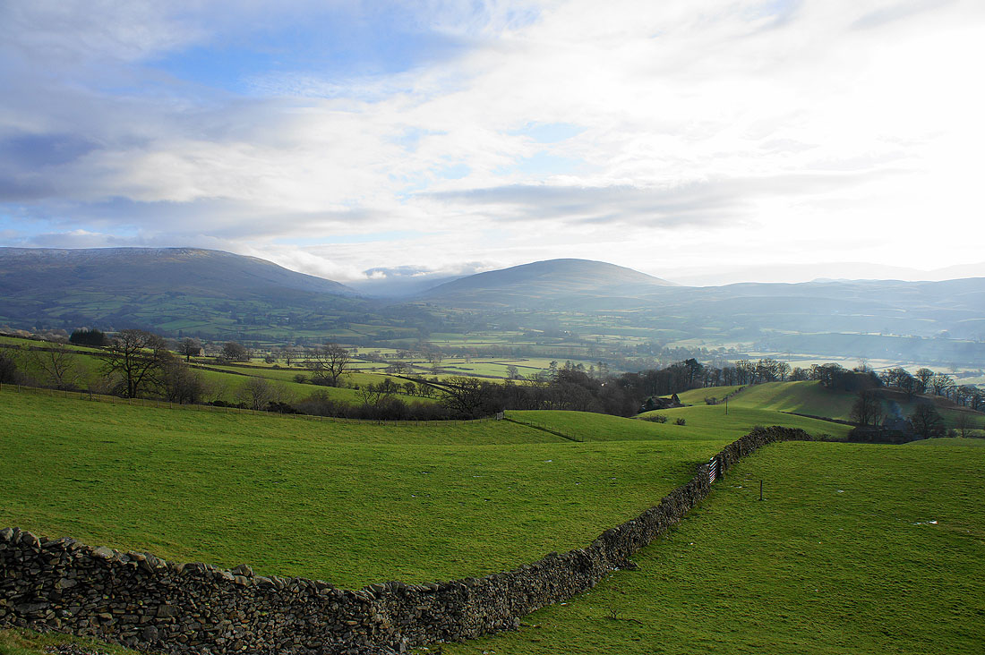
Baugh Fell and Aye Gill Pike on the other side of the Rawthey valley
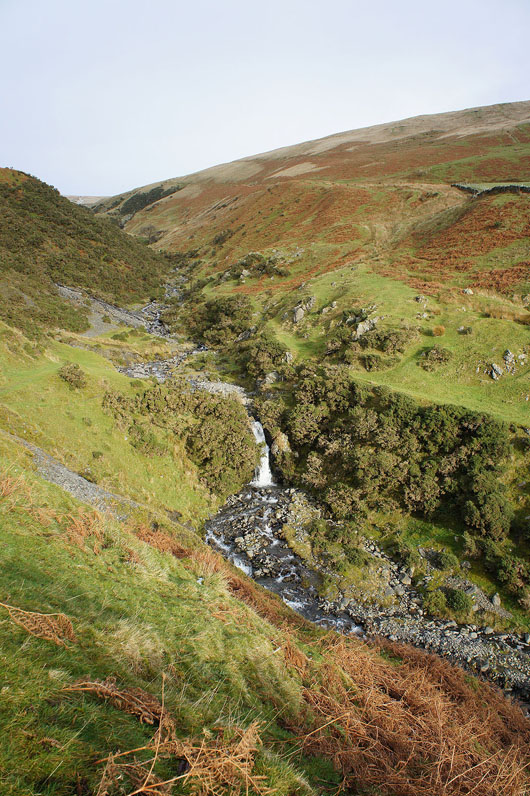
Settlebeck Gill
|
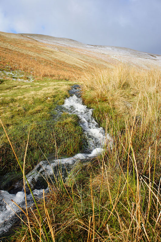
Lots of water pouring off the fells after all the recent heavy rain
|
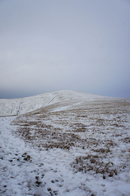
Arant Haw ahead
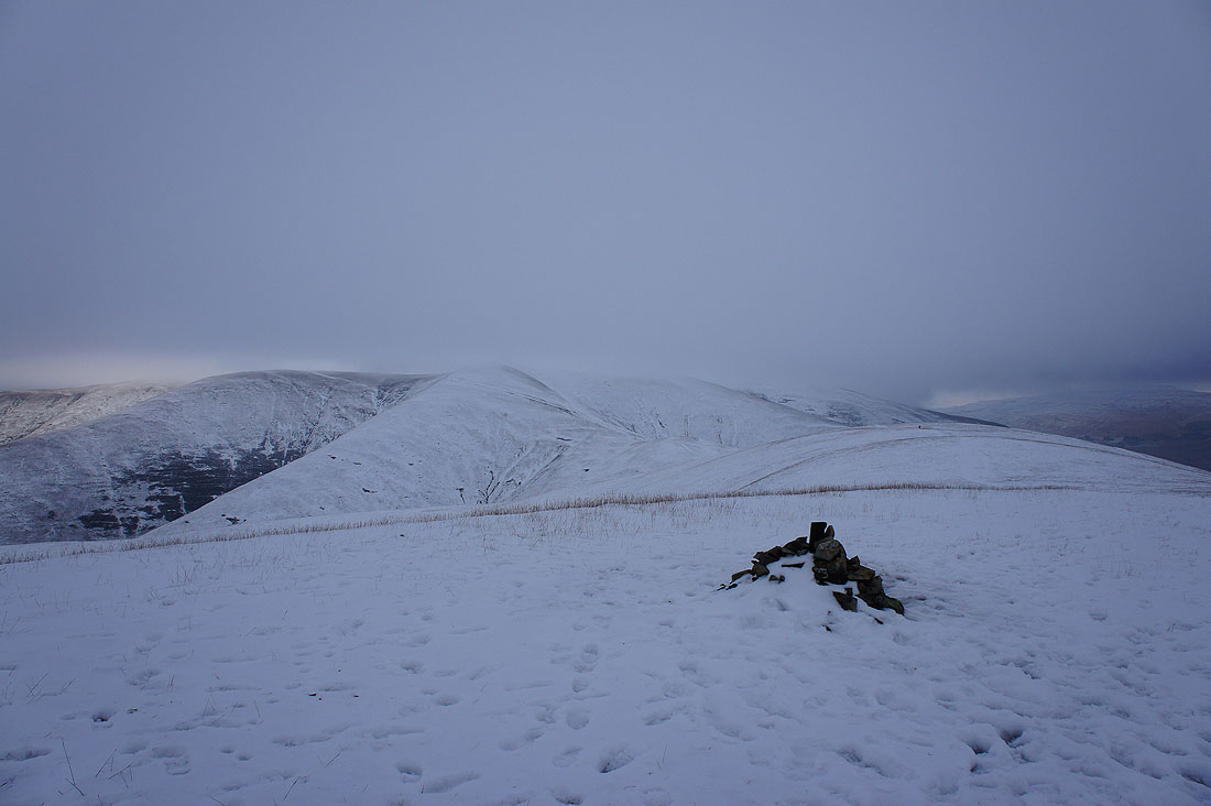
The central plateau of the Howgills from Arant Haw. It's not looking too good.
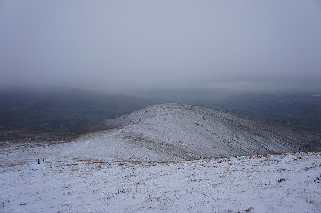
Winder below from Arant Haw. The cloud is getting lower with every minute. A few people were following me up but they must have turned back because I didn't see them later in the day.
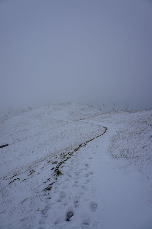
On the bridleway to Calders
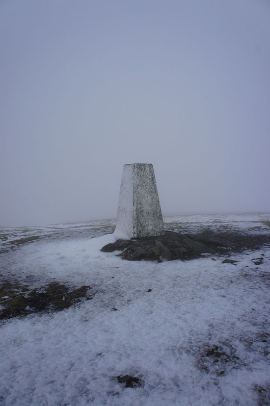
The Calf. Nothing to see.
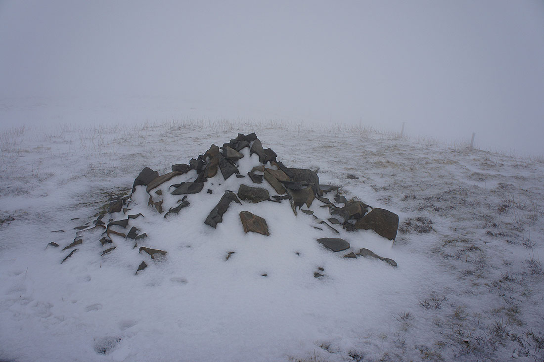
Back at Calders. Still no view.
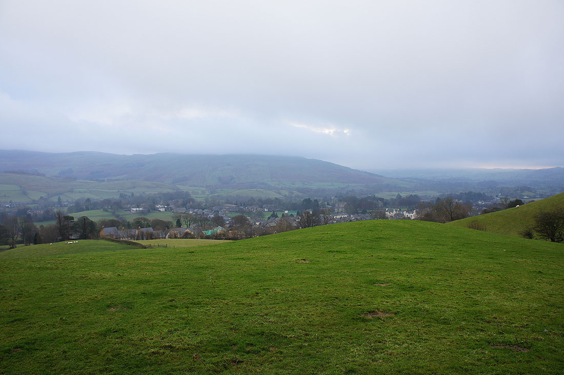
Sedbergh finally reappears. The cloud base was below the top of Winder on the way back down.
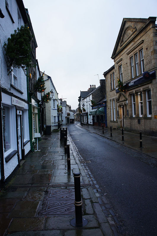
The main street in Sedbergh. No Boxing Day crowds here.