26th December 2016 - Stoodley Pike
Walk Details
Distance walked: 7.3 miles
Total ascent: 978 ft
OS map used: OL21 - South Pennines
Time taken: 5.5 hrs
Route description: Lumbutts-Pennine Bridleway-Basin Stone-Gaddings Dam-Langfield Edge-Coldwell Hill-Pennine Way-Stoodley Pike-Pennine Way-Pennine Bridleway-Lumbutts
Although a fine day is forecast it's also set to be very windy, so with that in mind I decided to stay local and do a walk in nearby Calderdale. The strength of the wind at the height of these moors was just about manageable, I shudder to think what it would have been like on the big hills. I always enjoy walking in this area and this was a good first walk to do after Christmas, particularly since I didn't fancy driving anywhere too far away today.
I started the walk by parking on the road outside the church in Lumbutts. I then took the bridleway past Lee Dam and Lee Farm to join the road again, for a walk uphill to reach the Pennine Bridleway opposite the Shepherds Inn. I made my way up the hillside of Rake End before turning left to head uphill past the Basin Stone to Gaddings Dam. After walking around Gaddings Dam I took the path along Langfield Edge and across Coldwell Hill to join the Pennine Way to reach Stoodley Pike. I then made my way back to Lumbutts by following the Pennine Way to its junction with the Pennine Bridleway, the latter taking me back to the road I was parked on.
Route map
© Crown copyright. All rights reserved. License number PU 100034184.
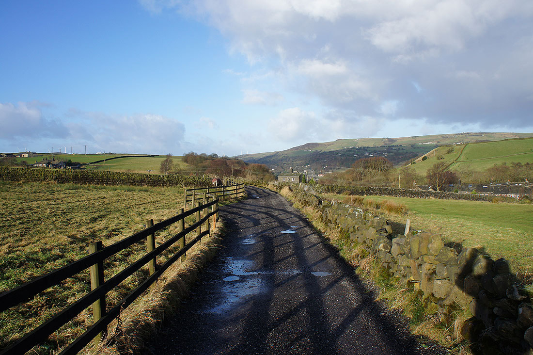
It's a cold and windy but bright morning as I set off along the bridleway past Lee Farm
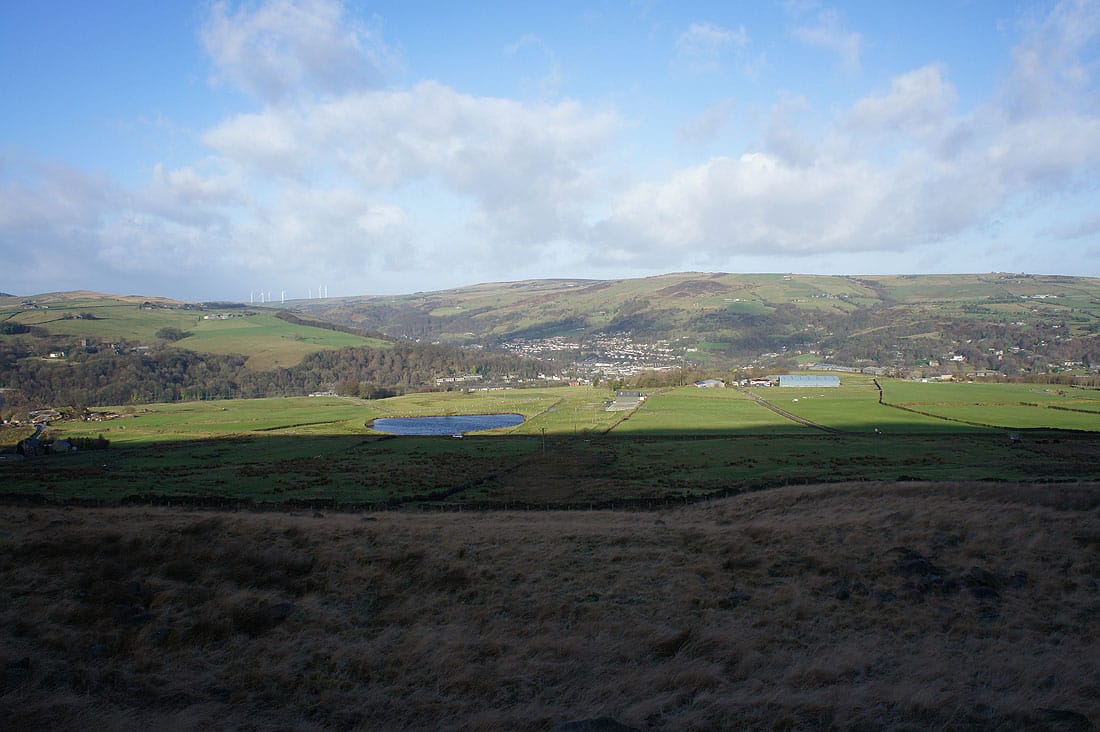
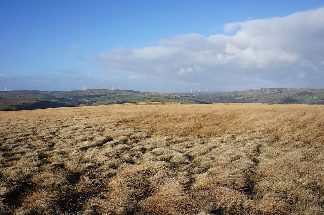
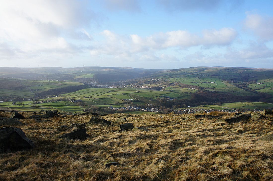
Looking across Todmorden to Bride Stones Moor on the other side of the valley as I follow the Pennine Bridleway to Rake End..
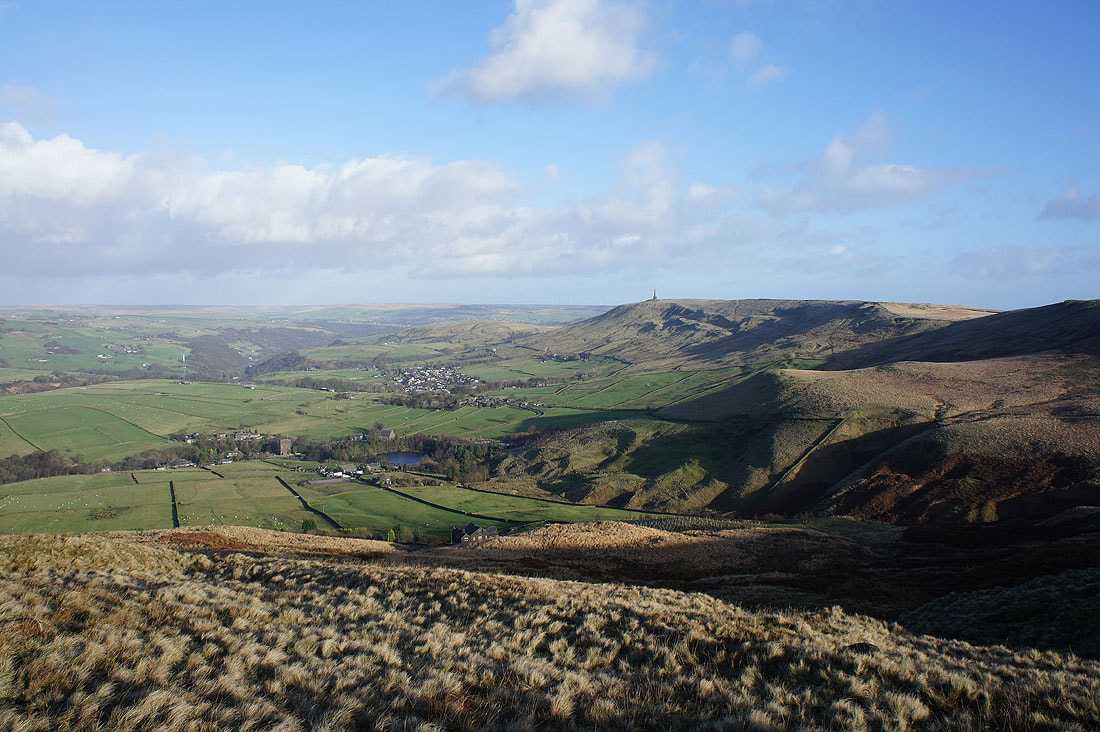
..and down Calderdale with Stoodley Pike on the right
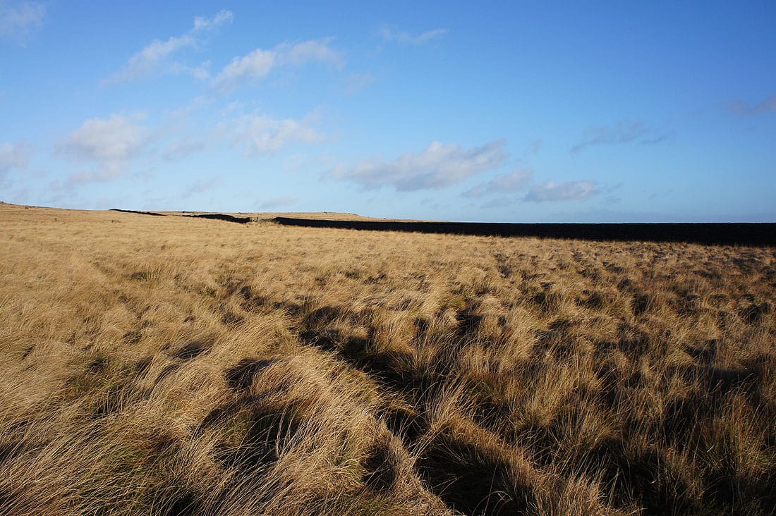
There's a lovely light on the moors this morning

Past the Basin Stone as I head uphill to Gaddings Dam
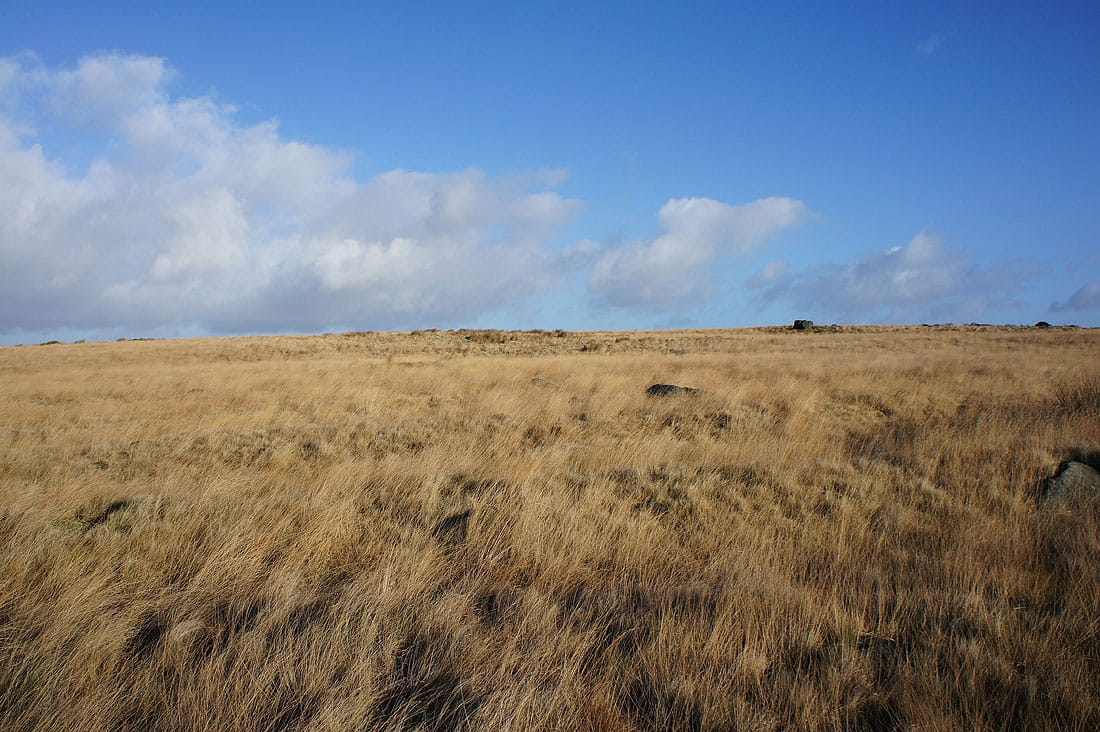
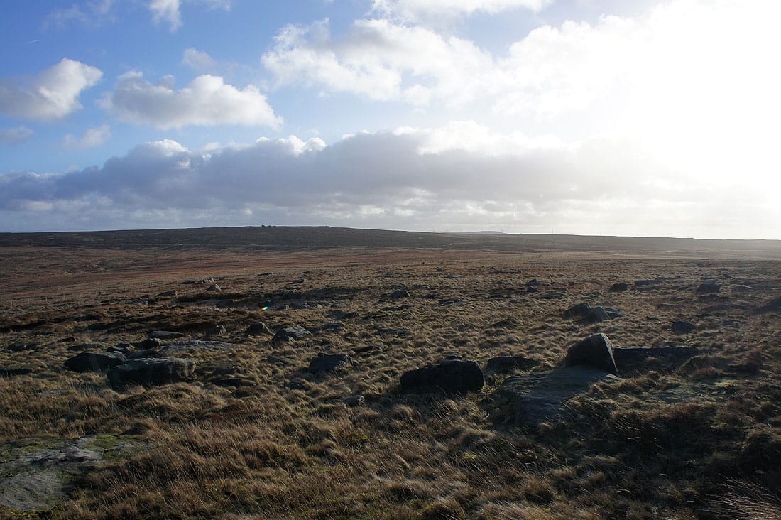
The moors have a great colour in the low winter sun. I couldn't resist taking a couple more shots.
By a very windy Gaddings Dam
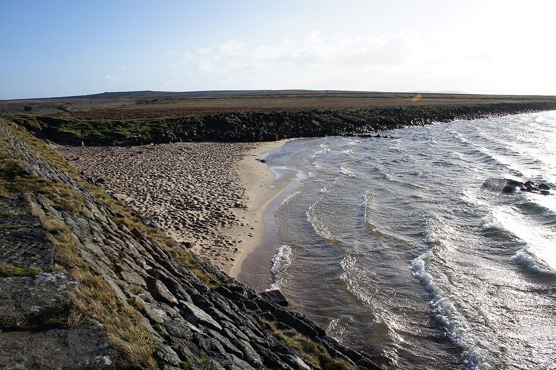
Definitely not beach weather today
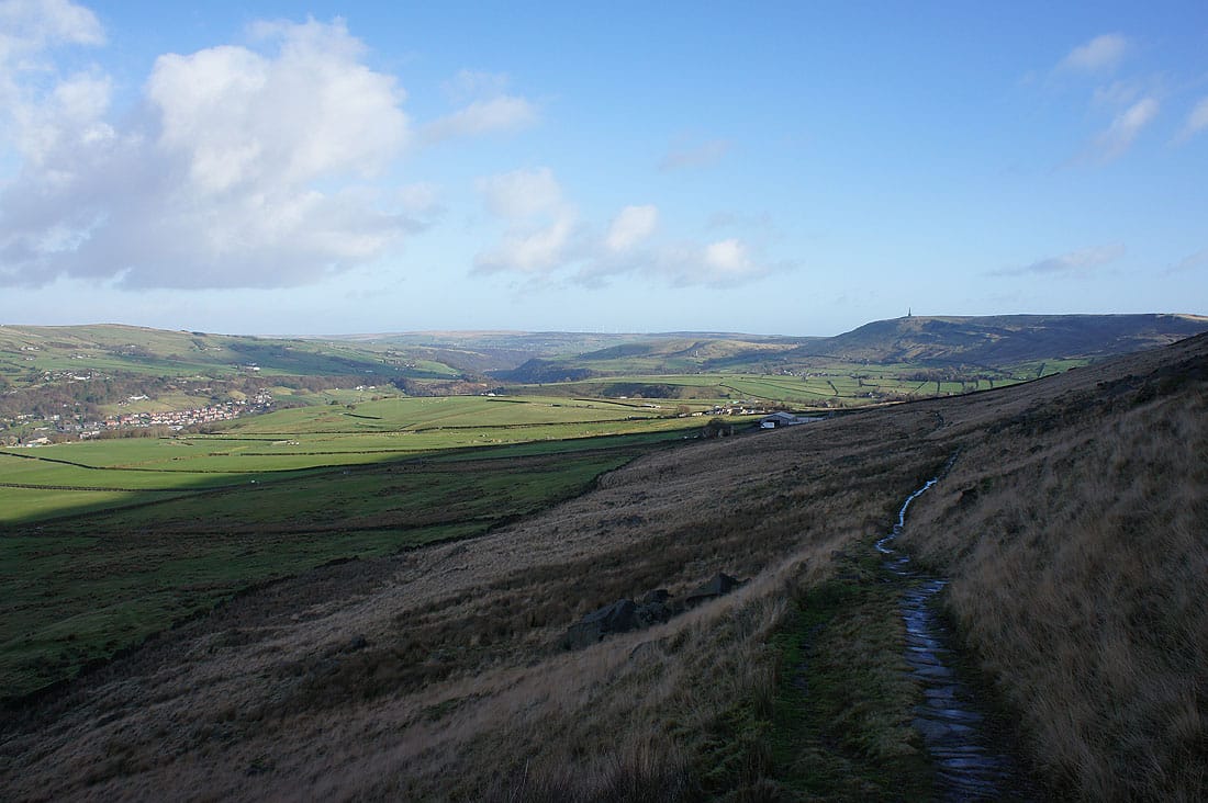
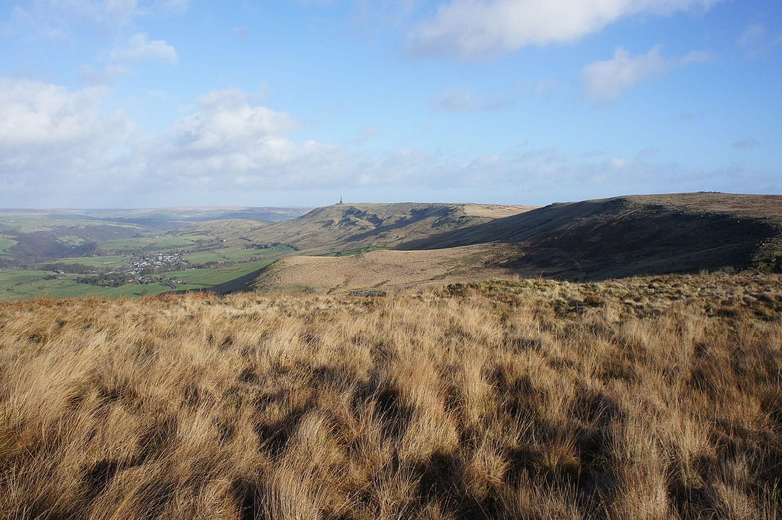
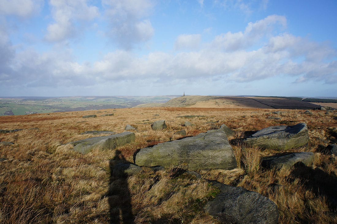
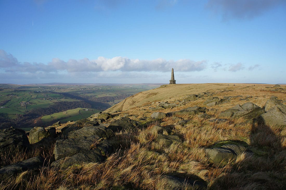
There's a great view across to Stoodley Pike from Langfield Edge..
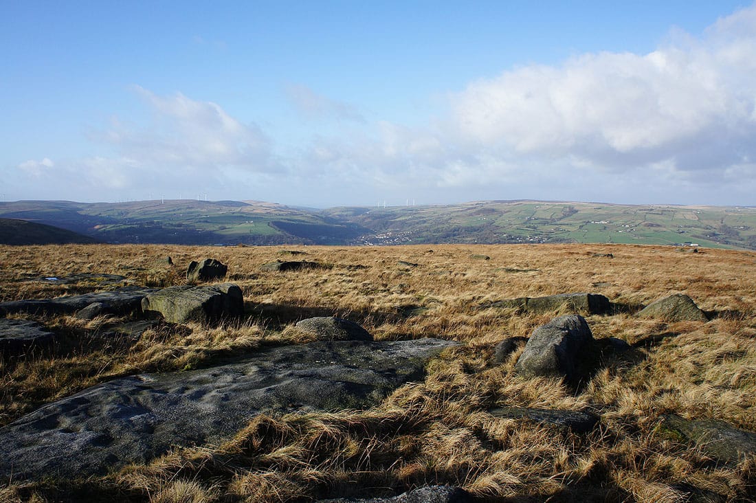
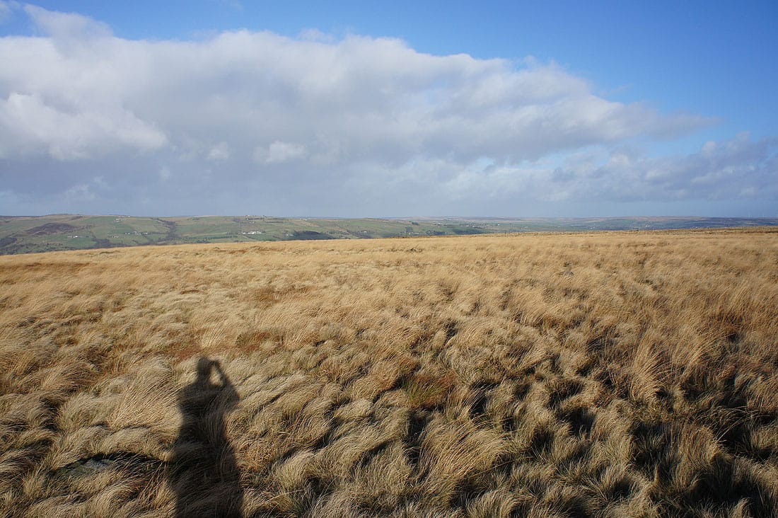
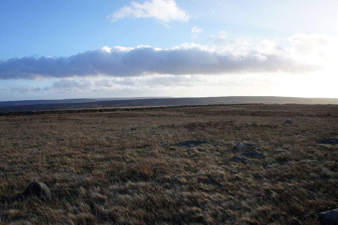
Heald Moor, Cliviger, Todmorden and Bride Stones Moor from Coldwell Hill
The moorland of Holder Stones to the south
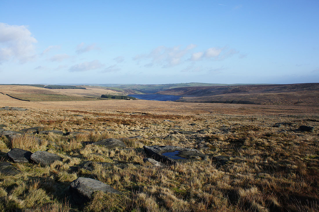
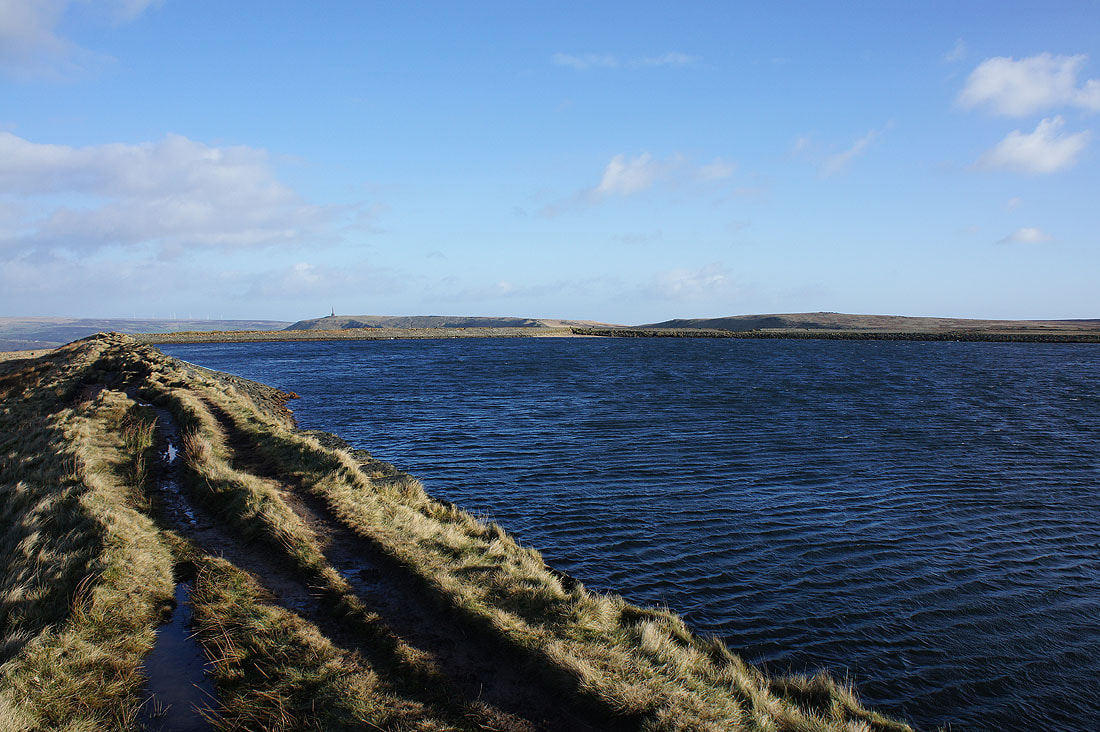
Withens Clough Reservoir
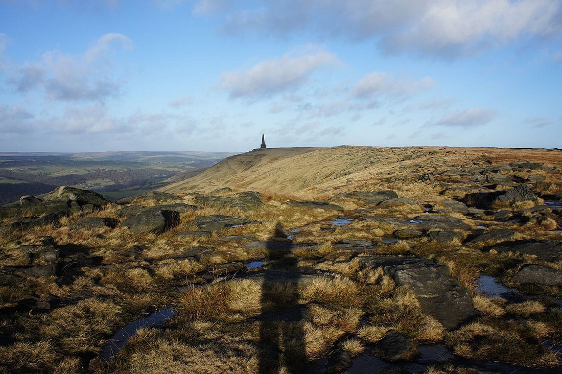
and Stoodley Pike
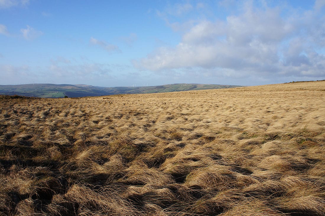
Moorland colours from Withens Gate..
|
|
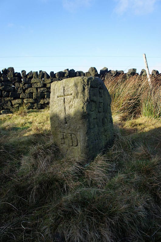
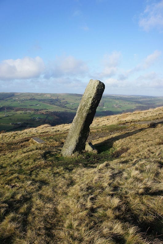
The Te Deum Stone and the Long Stoop guide stone
Onto the Pennine Way as I get closer to Stoodley Pike
Todmorden and Calderdale below
Windswept moors
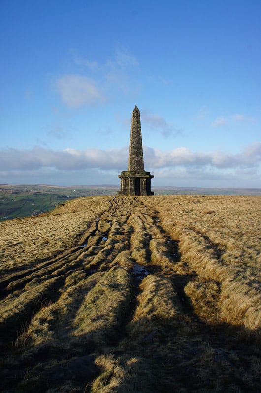
As I approach Stoodley Pike the wind gets even stronger, to the point where it took a real effort to stand still and it was impossible to take a photo from the monument without it coming out all blurry. It's been a while since I was last out in as strong a wind.
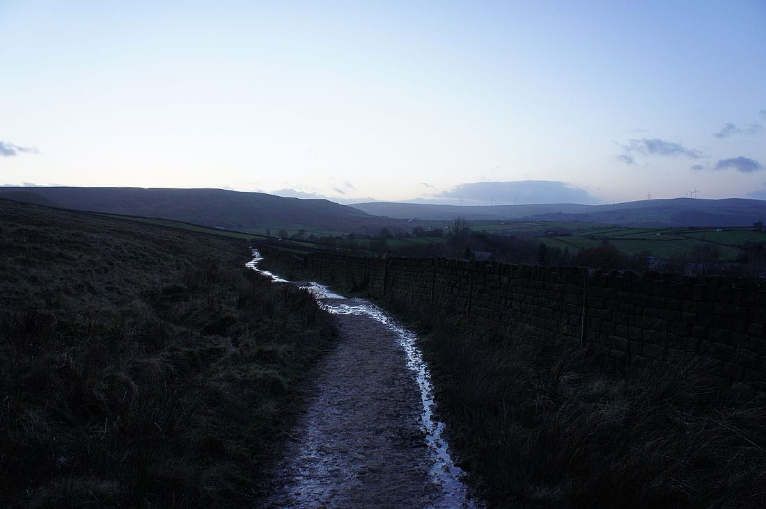
Making my way back to Lumbutts on the track of London Road. It was relief to get down and out of that wind.