26th December 2022 - Nab Hill
Walk Details
Distance walked: 10.3 miles
Total ascent: 1630 ft
OS map used: OL21 - South Pennines
Time taken: 5 hrs
Route description: Penistone Hill Country Park-Dimples Lane-Bronte Way-Old Oxenhope Farm-Old Oxenhope Lane-Marsh Lane-Bronte Way-Harry Lane-A6033-Dark Lane-Bentley Hey-Black Moor Road-Leeming-Sykes Lane-Leeming Reservoir-Bronte Way-Hambleton Lane-Nab Hill-Nab Water Lane-Nab Rough-Nab Water Lane-Greenwood's Allotment-Oxenhope Moor-A6033-Stairs Lane-Bodkin Lane-Lee Lane-Westfield Farm-Moor Side Lane-Penistone Hill Country Park
My final walk of 2022, and done on a far from perfect day. A cold and windy day with showers is forecast so I planned a walk close to home, which meant driving the short distance across the moors to the Worth Valley for a walk on the Bronte moors. Starting from Penistone Hill Country Park, which is something that I've done many times during the past few years, I decided to do a route that I've done before taking in Nab Hill and the moors around Oxenhope. I enjoyed some winter sunshine for a couple of hours before the first shower arrived when I was in Leeming, and once that cleared there were more sunny spells, but on the way up Nab Hill I could see a lot of dark clouds on their way. I made it up there in time to get a good view and more importantly to have some shelter from the wild weather that passed through. Once it did more showers were never far away for the walk back to Penistone Hill Country Park.
From Penistone Hill Country Park I made my way up to the trig point, down to the eastern end of the hill and to Dimples Lane, which I crossed to take the Bronte Way down a track, then south to Old Oxenhope Farm, down Old Oxenhope Lane, left along Marsh Lane, and then right, down Bents Lane to and across the Keighley and Worth Valley Railway line and up to the A6033. After crossing the road I walked up Dark Lane, and then up a footpath across the hillside of Bentley Hey to Black Moor Road. I then made my way south along Black Moor Road before taking a footpath on the right down through a disused quarry and across Height Lane to Leeming and Denholme Road, then turned right, walked down Denholme Road and took the footpath down along Sykes Lane on the left. This took me past some cottages and to the footpath down to and past the eastern end of Leeming Reservoir, where I picked up the Bronte Way. I followed the Bronte Way uphill until I reached the track of Hambleton Lane, which took me south until I reached a gate on the right and the footpath west to the cairns on the northern edge of Nab Hill, where I stopped for lunch. After this break I took the path west down to Nab Water Lane. I briefly walked down the road then took the footpath on the right across Nab Rough and down to Nab Water Lane, which I crossed and took the footpath opposite across Greenwood's Allotment. This soon met a catchwater drain, and I followed the path by this across the moor to the A6033, and carried on following it after crossing the road to reach the track of Stairs Lane. I then walked down Stairs Lane and Bodkin Lane, past Leeshaw Reservoir and onto Lee Lane, where I took the footpath on the left up past Westfield Farm to Haworth Moor. At the top of this path I turned right and followed the track from Drop Farm to Moor Side Lane, where I was left with a short walk back up to Penistone Hill Country Park.
Route map
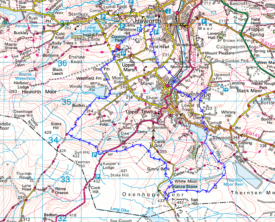
© Crown copyright. All rights reserved. License number PU 100034184.
Haworth Moor, Stanbury Moor, and Stanbury from Penistone Hill
Crossing Penistone Hill and a shower passes by to the north
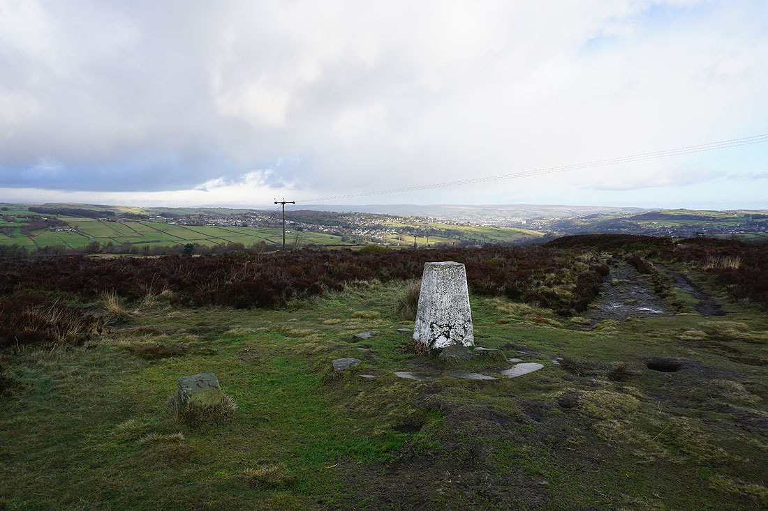
At the trig point on Penistone Hill
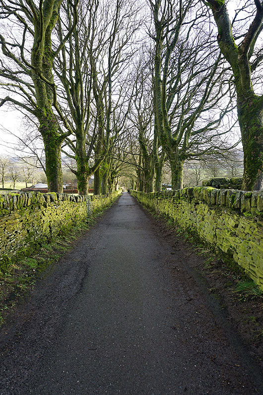
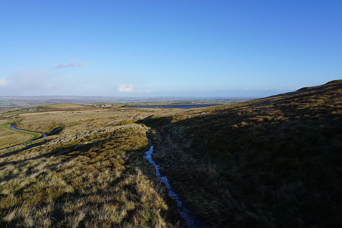
After crossing Dimples Lane I take the footpath down towards Haworth
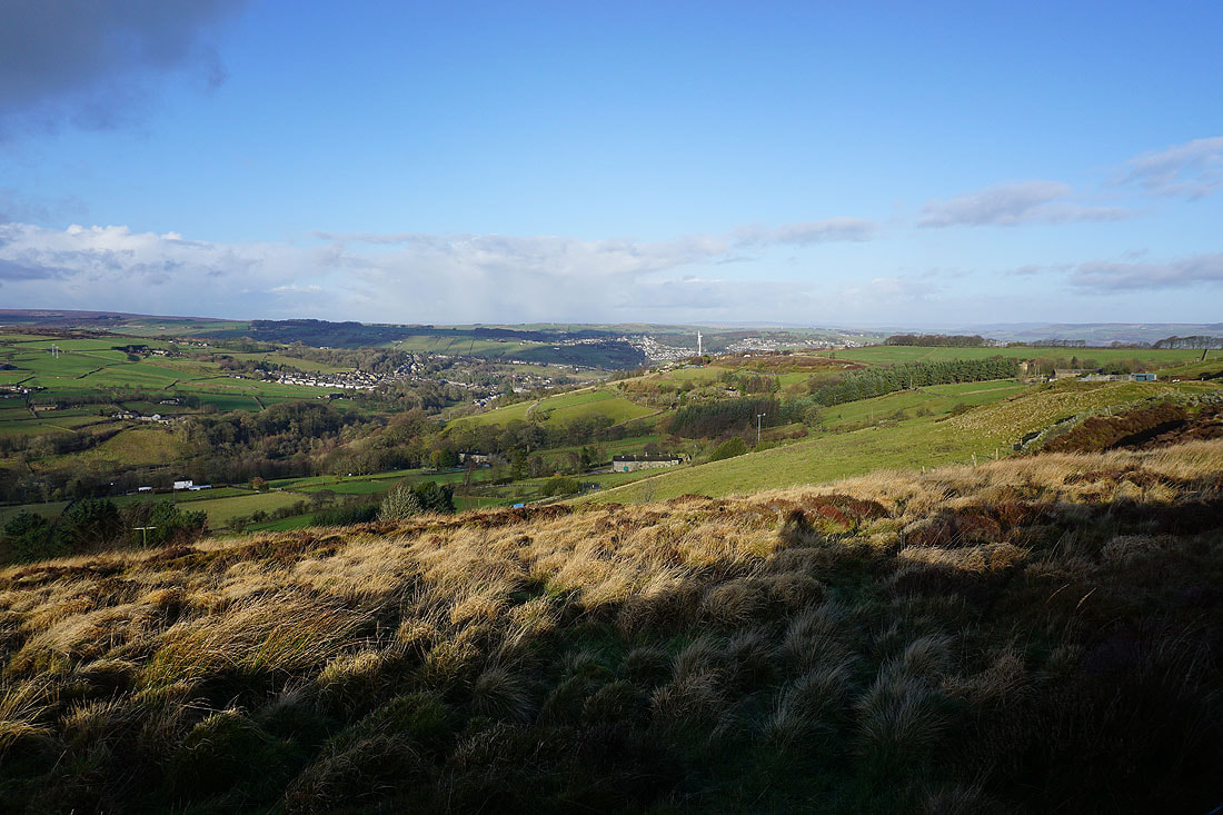
Oakworth and Haworth as I follow the Bronte Way towards Oxenhope
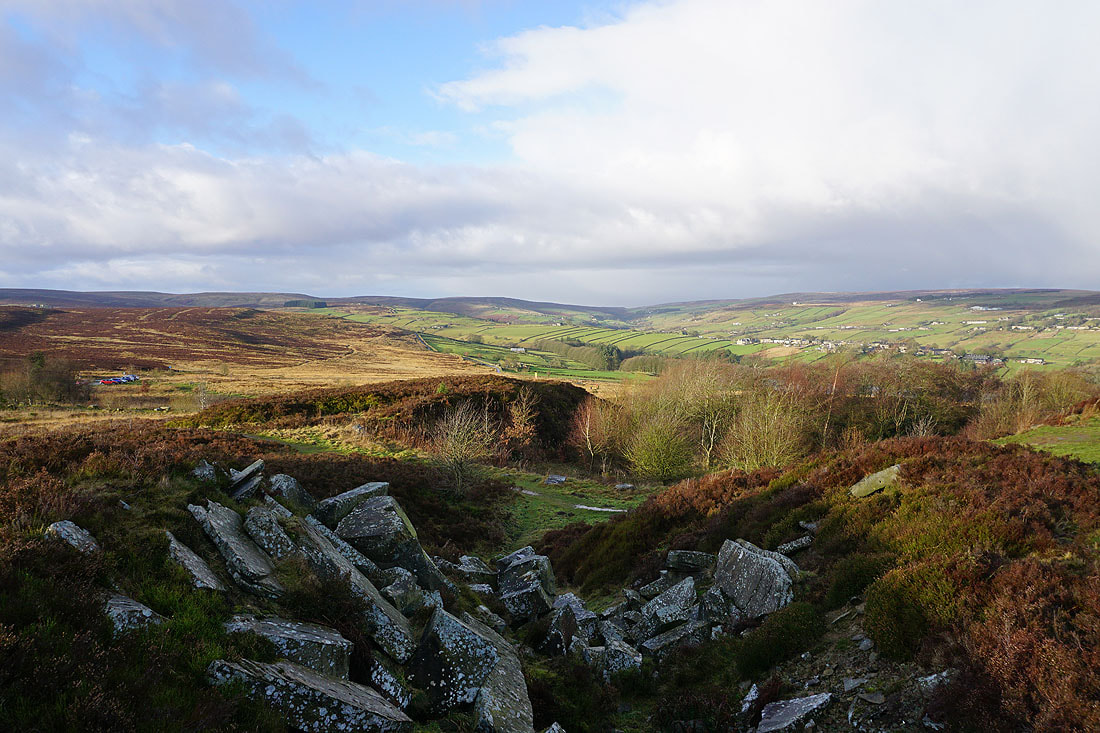
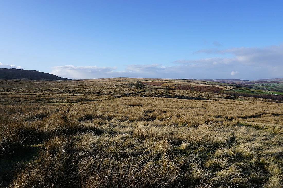
Approaching Old Oxenhope Farm with Nab Hill in the distance
Following Bents Lane down to the Keighley and Worth Valley Railway

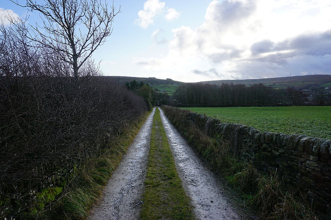
Heading up Dark Lane with the hillside of Bentley Hey ahead, which I'll climb to reach Black Moor Road
Looking north from Black Moor Road to Haworth and Brow Moor..
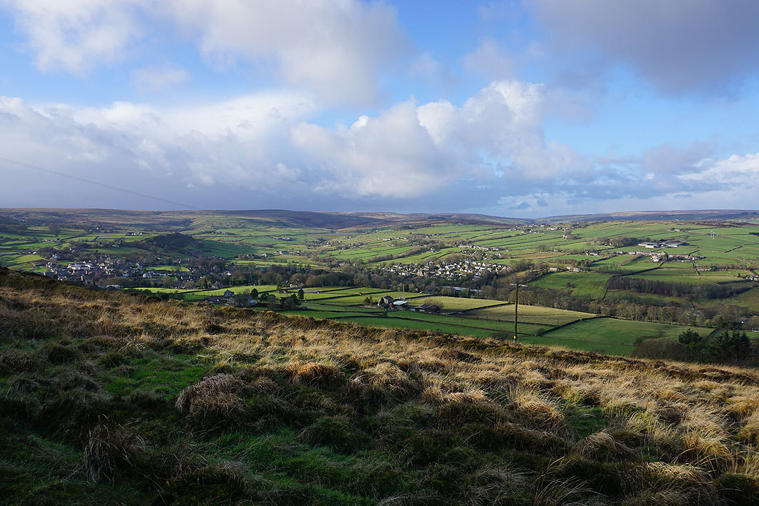
..and west across Oxenhope to Oxenhope Stoop Hill and Haworth Moor
Dark clouds are approaching from across the moors
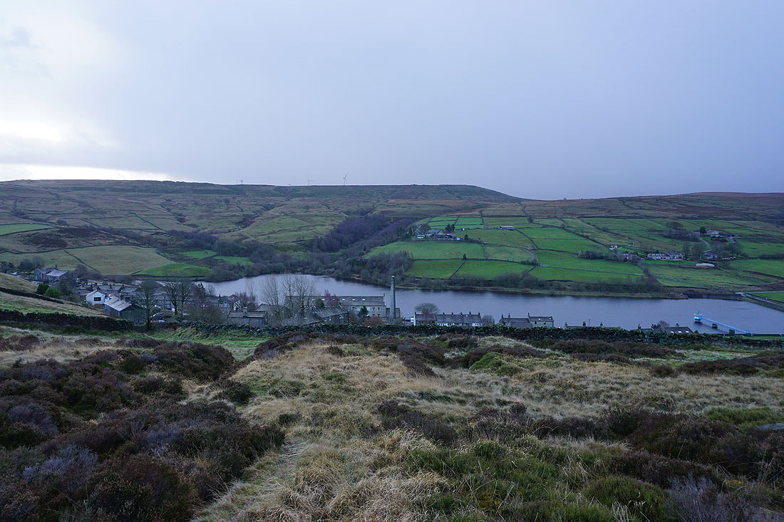
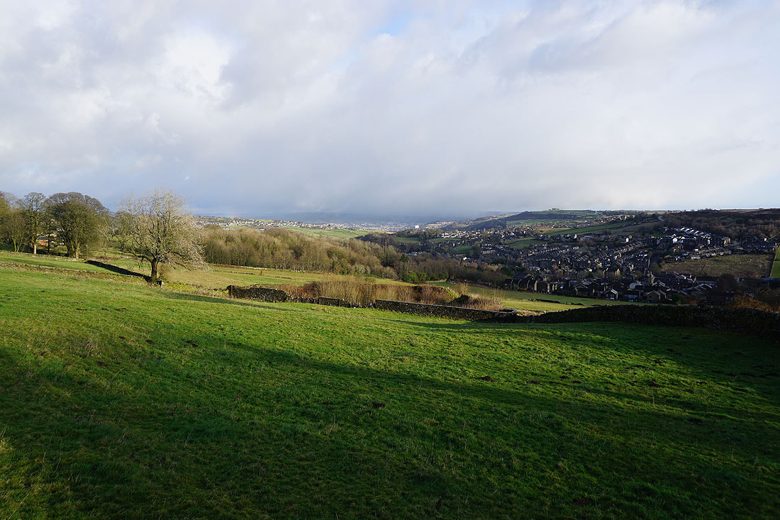
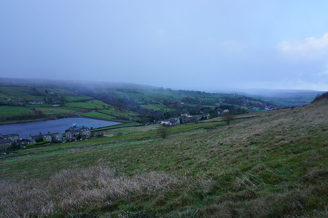
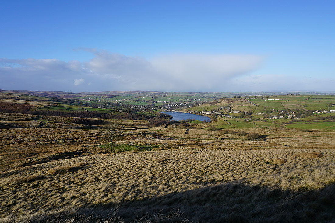
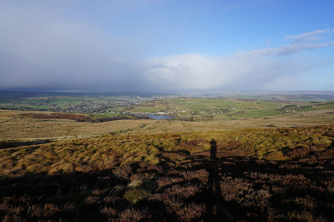
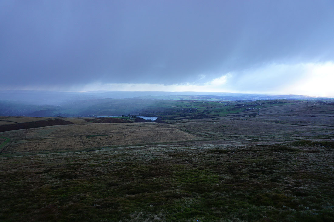
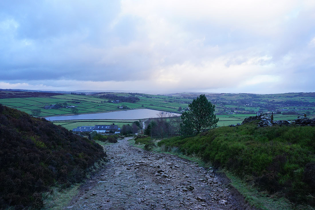
Heading down to Leeming and Leeming Reservoir with Nab Hill beyond
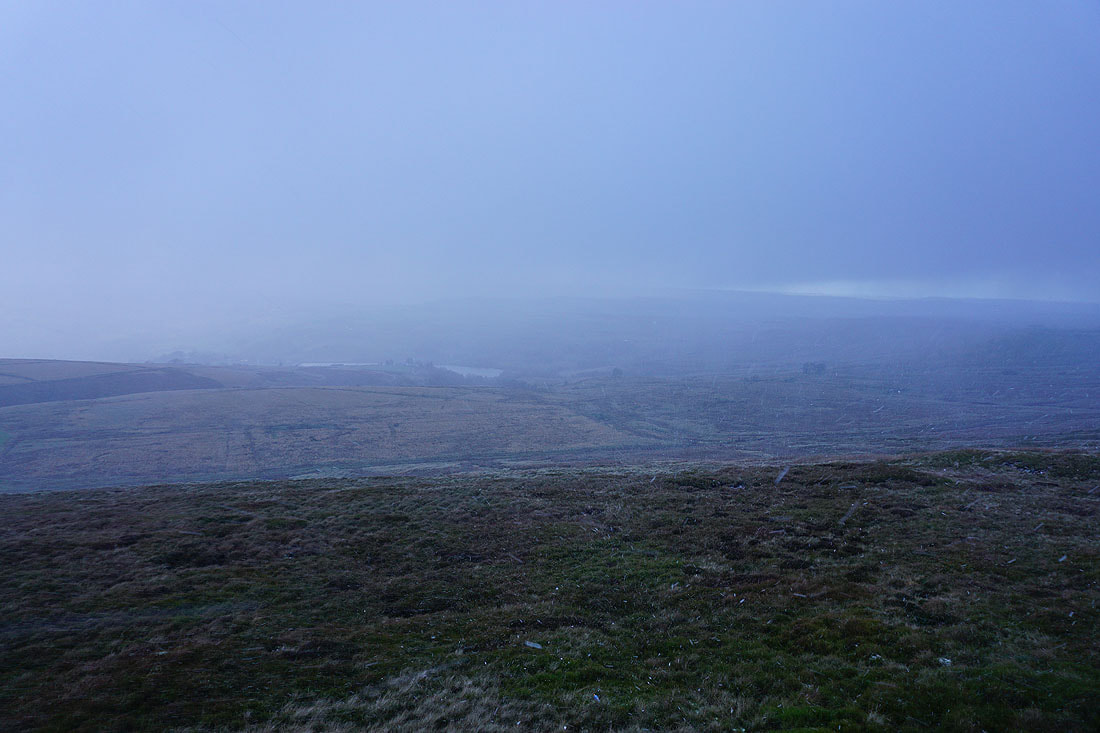
The shower arrives and a curtain of hail and snow sweeps across Leeming
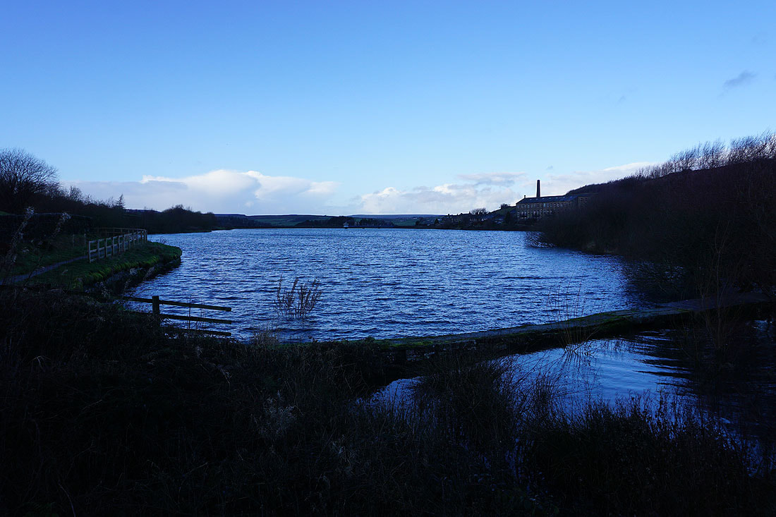
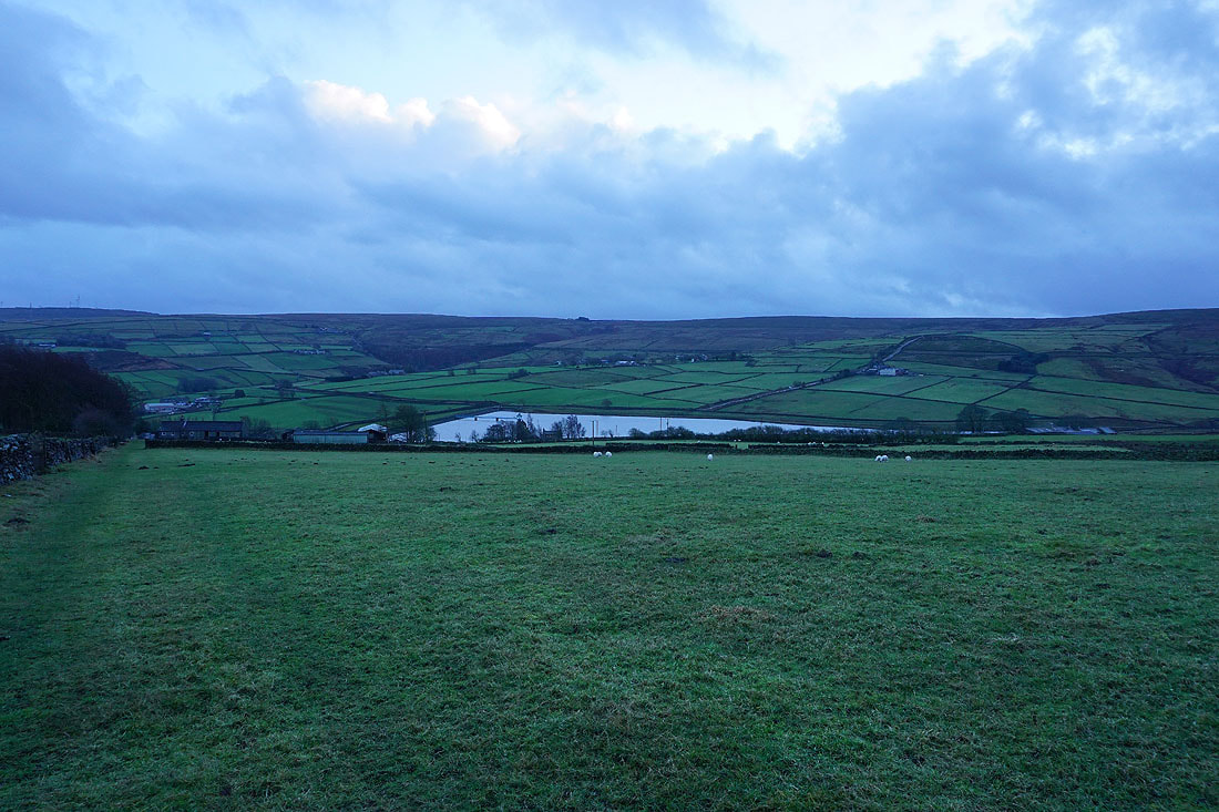
Passing the eastern end of Leeming Reservoir
Following the Bronte Way uphill. The shower has cleared away but I'm still waiting for the sun to return.
A few minutes later and it has. Looking back to Leeming Reservoir and Leeming..
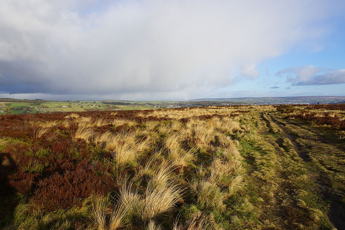
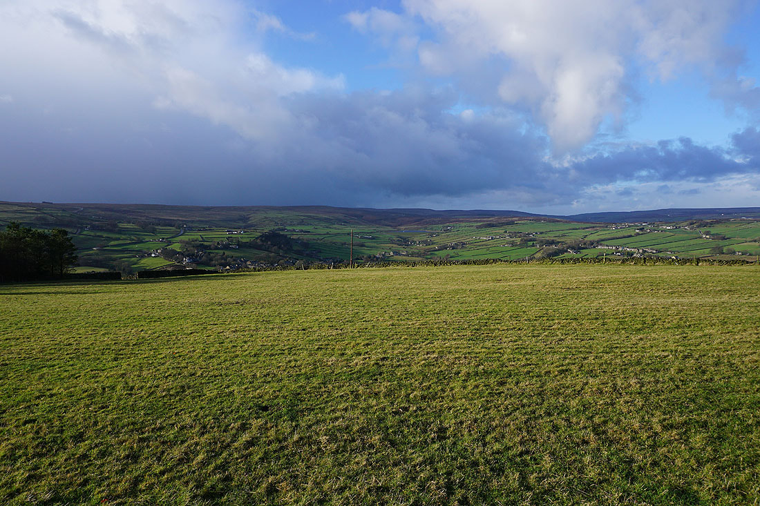
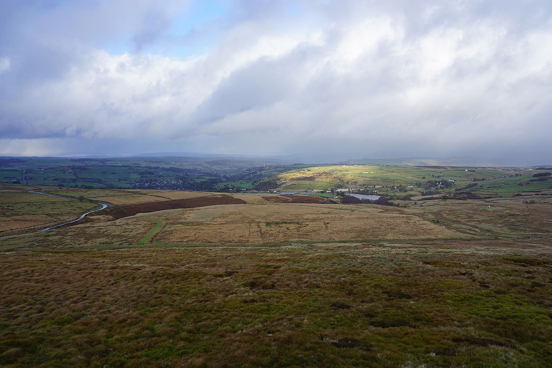
..and west across a sunlit Oxenhope Moor
As I reach the top of the Bronte Way I get a great view to the north to Oxenhope and the Bronte moors
On the track of Hambleton Lane. Looking north to Oxenhope, Leeming Reservoir and Black Moor.
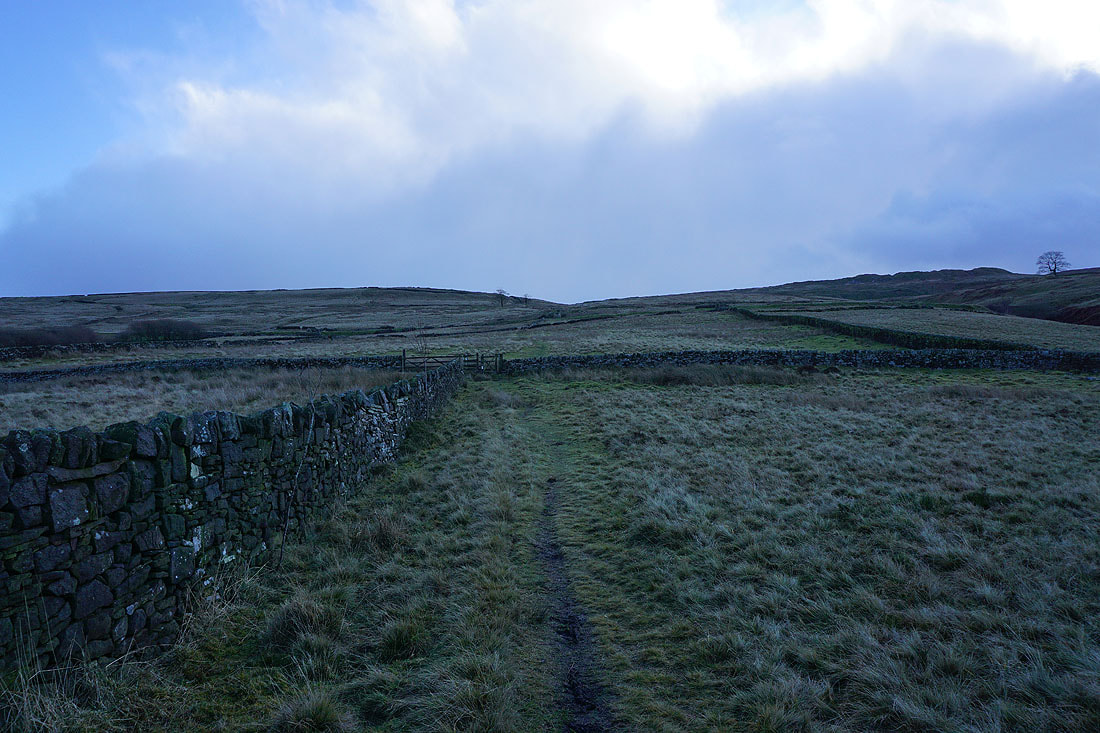
I soon leave Hambleton Lane for a footpath west along the northern edge of Nab Hill
Looking back to Thornton Moor Reservoir with Ilkley Moor and Baildon Moor in the distance
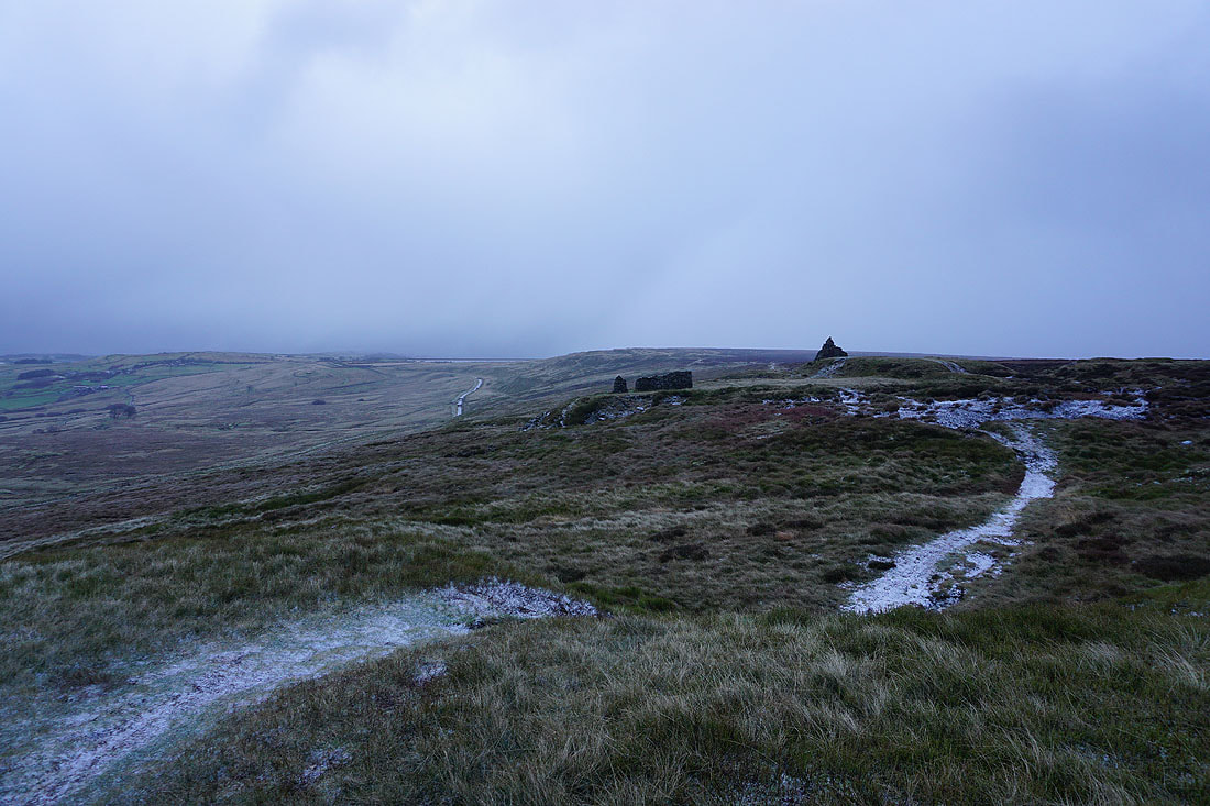
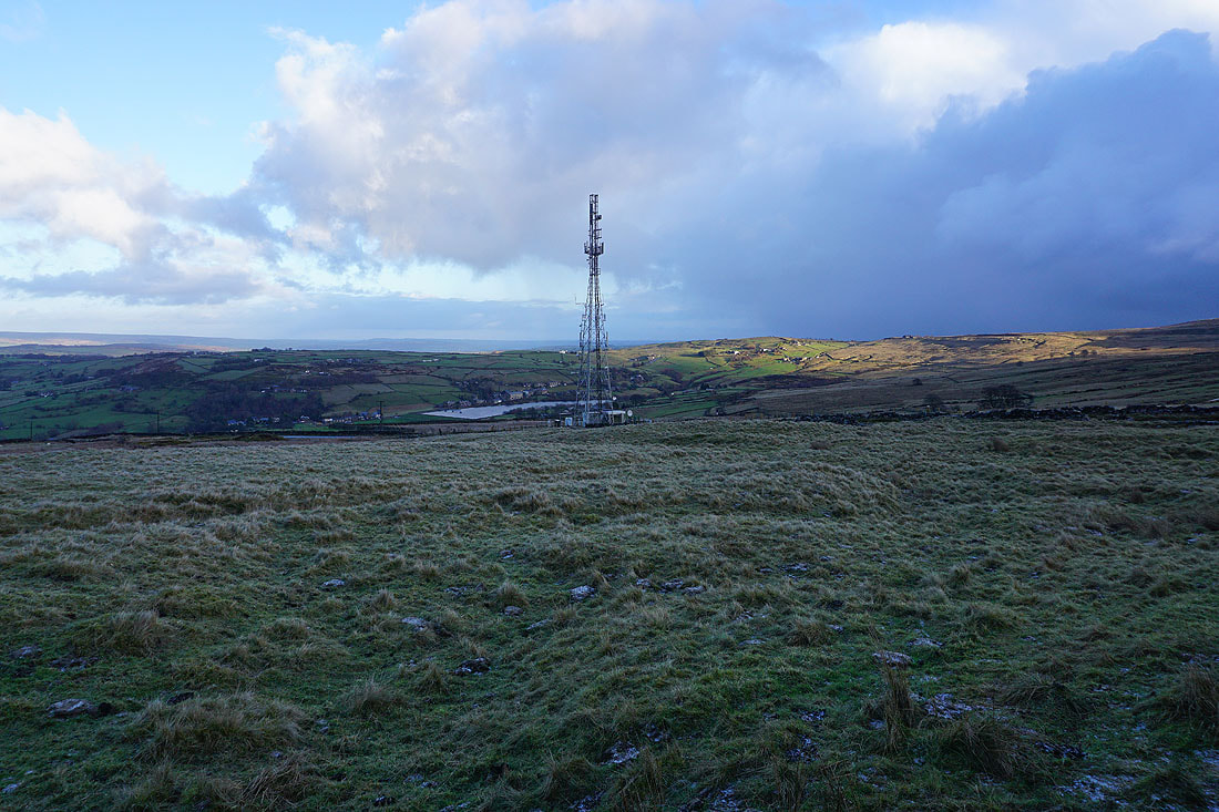
Approaching the cairns on the top of Nab Hill. I don't like the look of those clouds that are on their way.
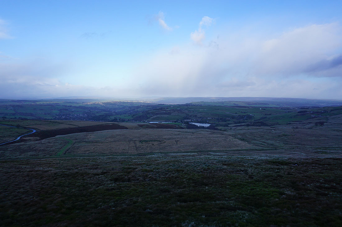
There's a great view to the north from up here across Bronte Country to Oxenhope, Penistone Hill, Steeton Moor, Oakworth, Black Moor, Harden Moor, and Ilkley Moor
Someone has turned the lights off. I think the weather is going to take a turn for the worse.
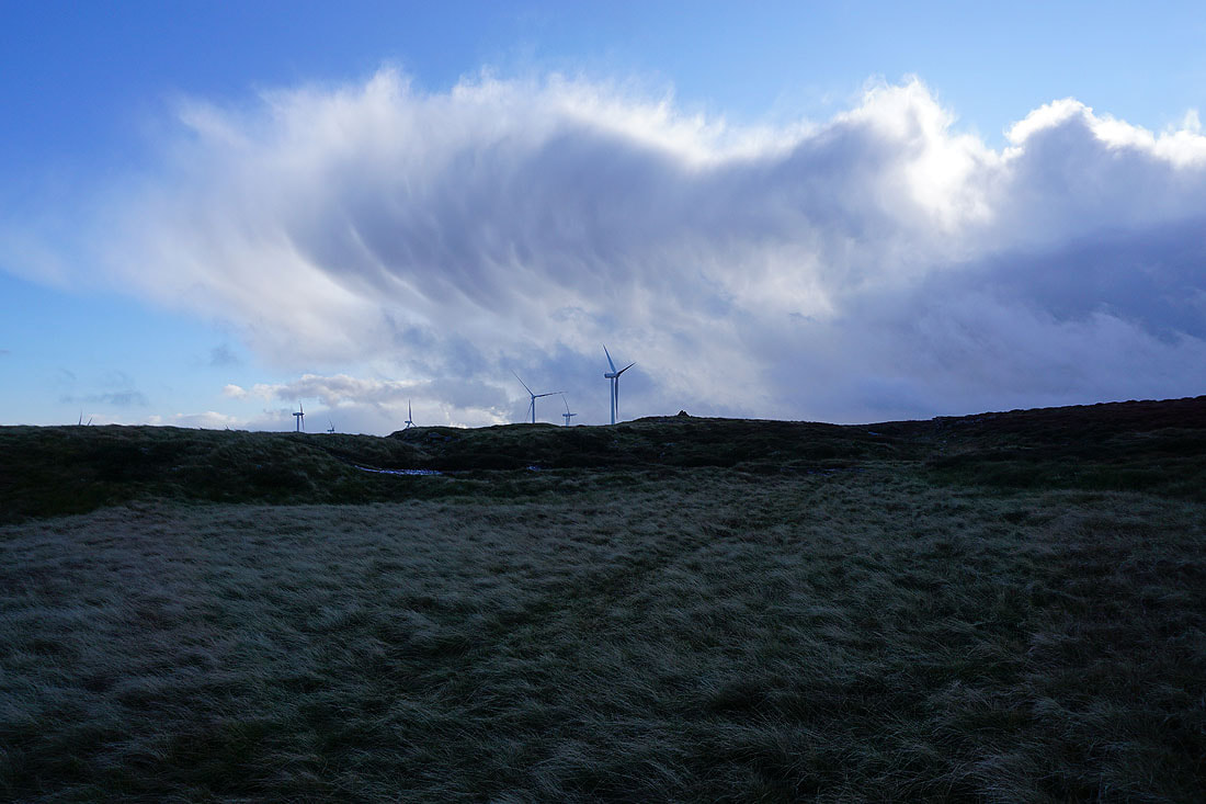
Dramatic clouds as the shower approaches
It's a bit wild as a heavy shower of hail and snow passes through. Fortunately some of the cairns on Nab Hill are shelters.
The skies brighten. Hopefully the worst of it is over.
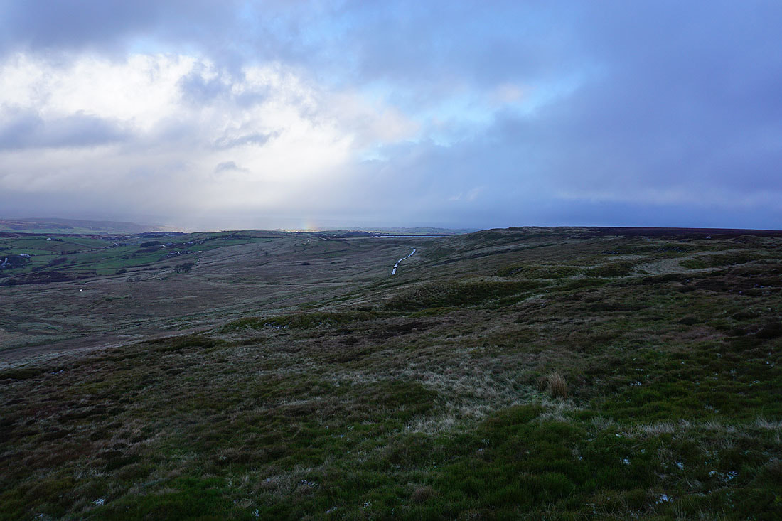
A hint of a rainbow below the clouds to the east
Not quite over. I take shelter again.
It soon is though, and a dusting of snow is left behind. It soon melts.
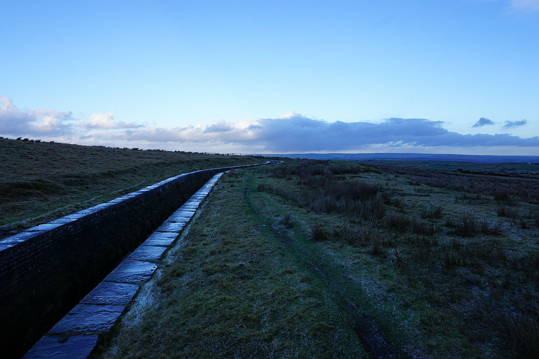
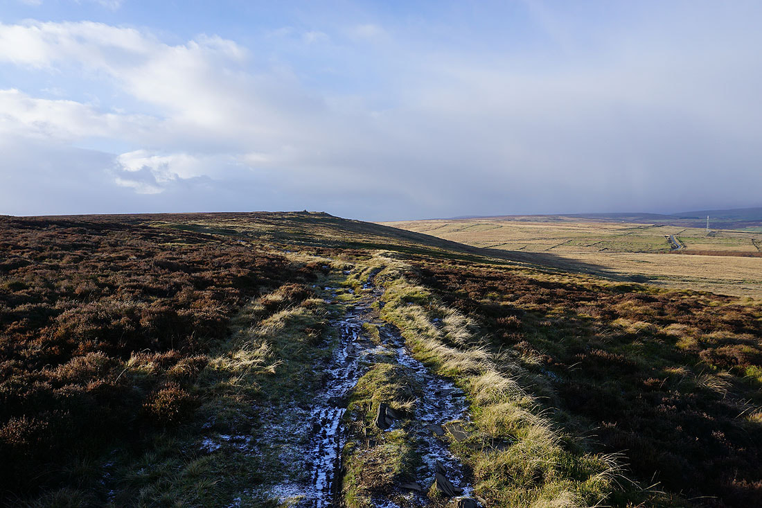
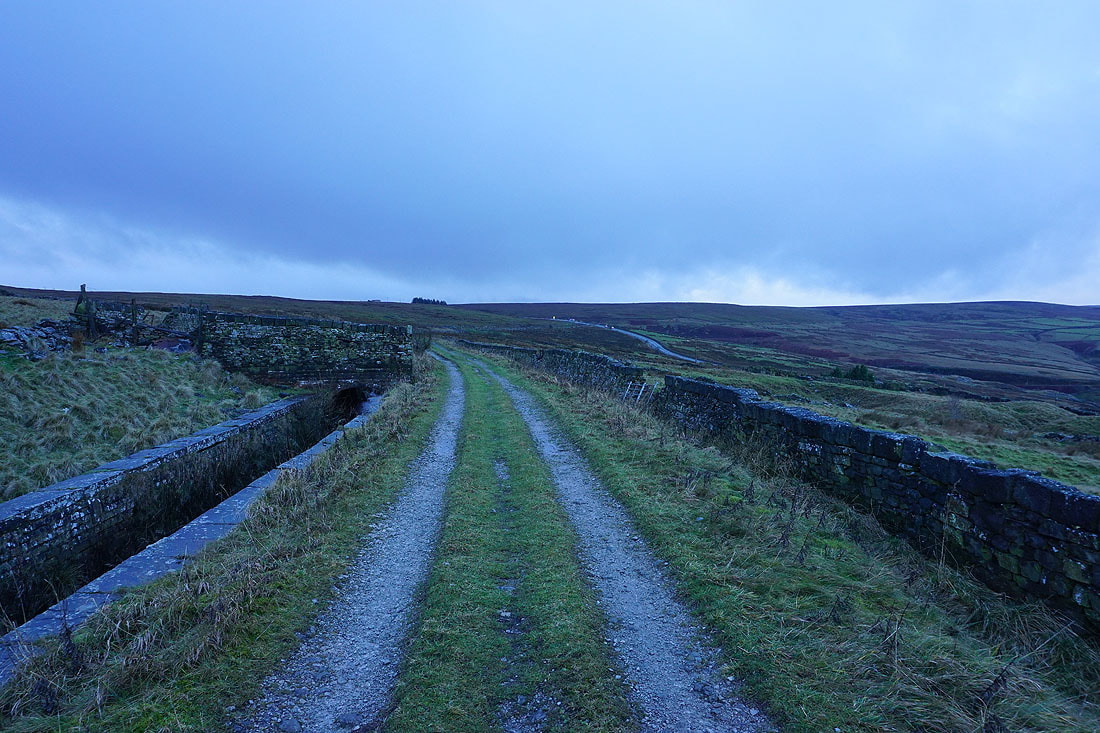
Following the path by the conduit across Oxenhope Moor
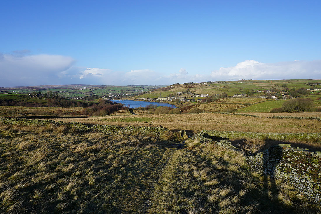
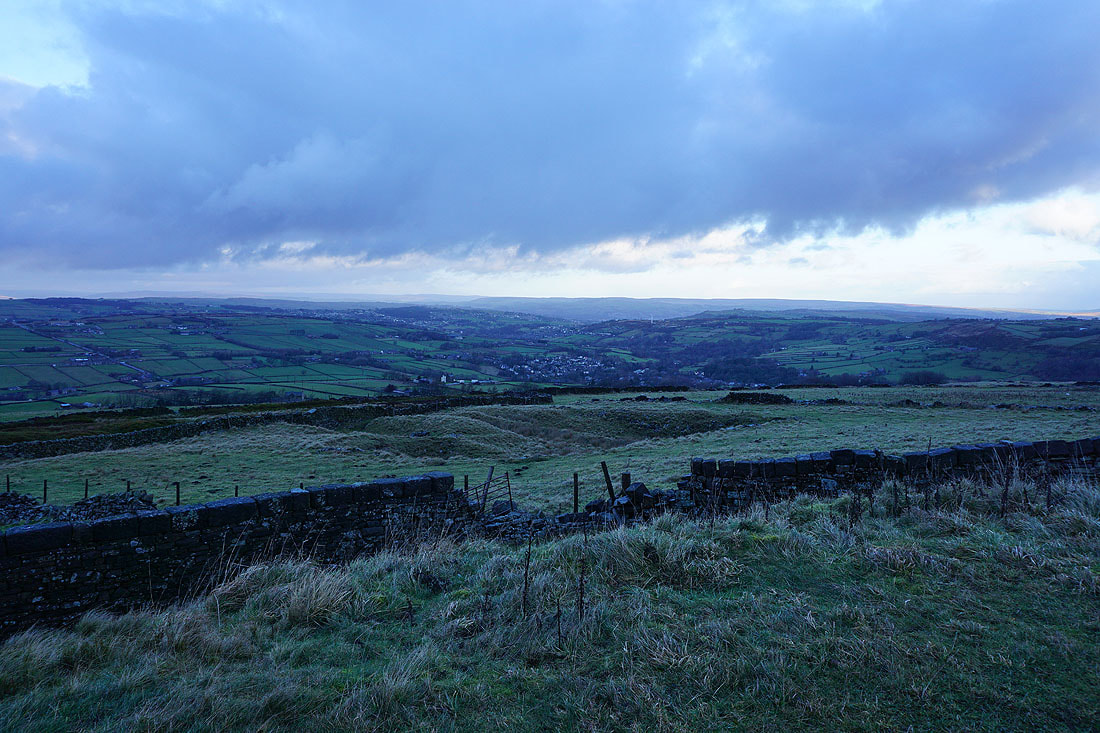
Looking back to Nab Hill
and across to Black Moor, Leeming, Leeming Reservoir, and Thornton Moor
Oxenhope in the valley below
Now heading west and approaching Hebden Bridge Road
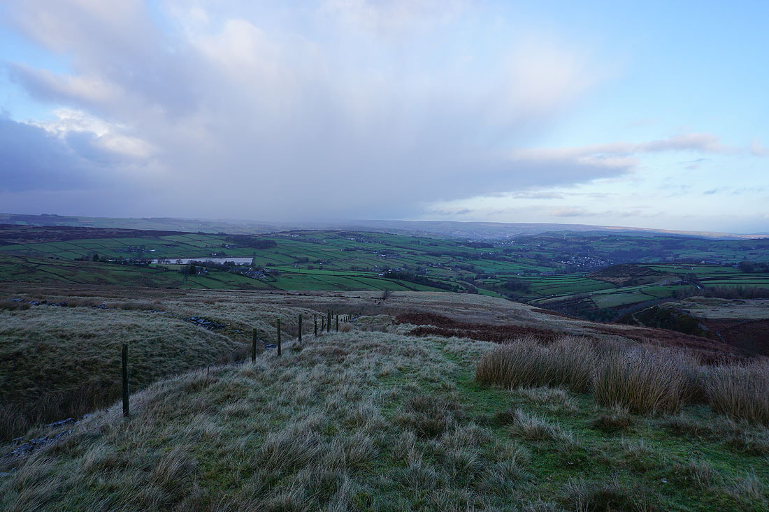
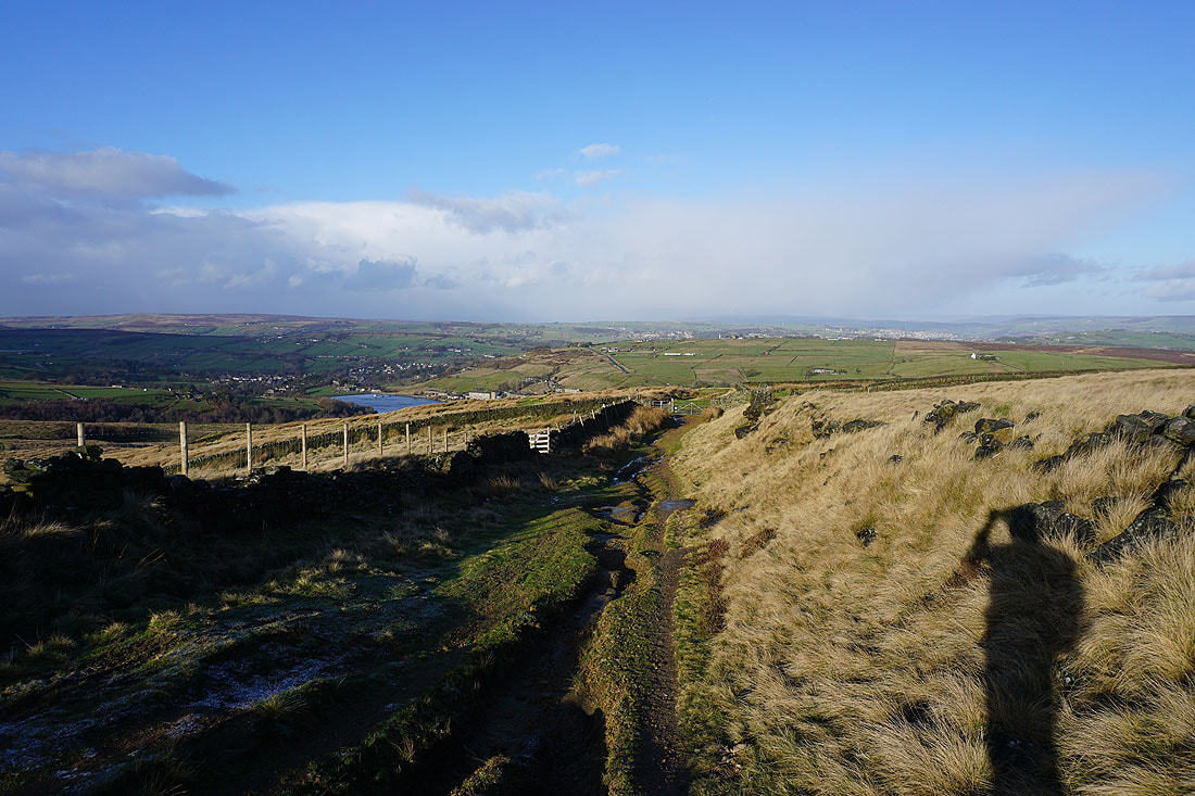
Still by the conduit after crossing Hebden Bridge Road, and looking northeast to Leeshaw Reservoir, Penistone Hill, and Oxenhope

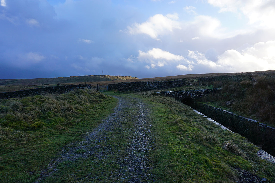
Heading down Stairs Lane..
..and Bodkin Lane, to Leeshaw Reservoir and Lee Lane
Looking back down to Leeshaw Reservoir beneath Westfield Farm
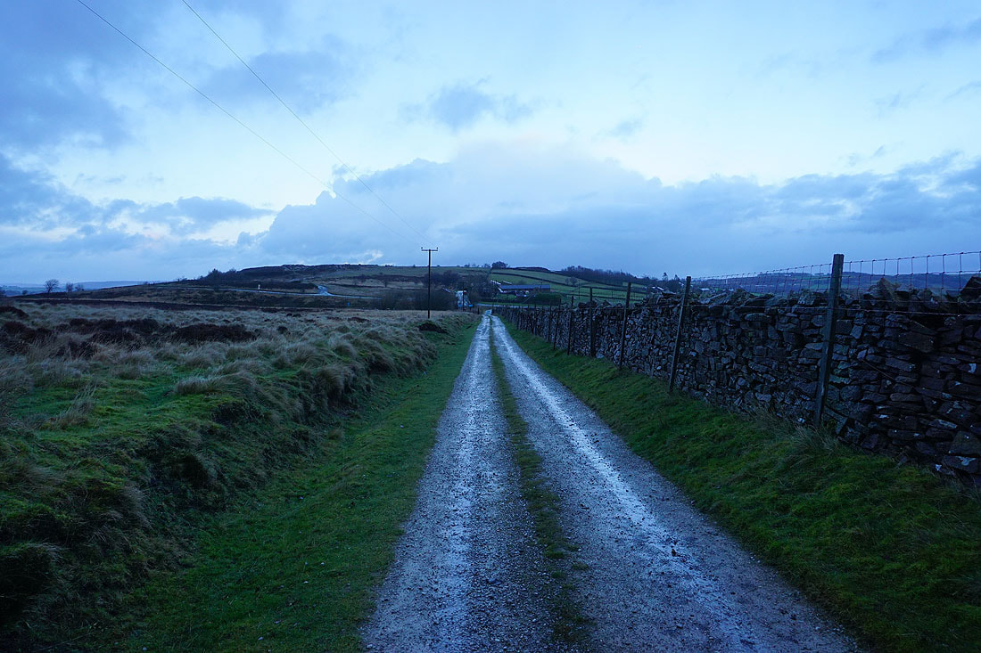
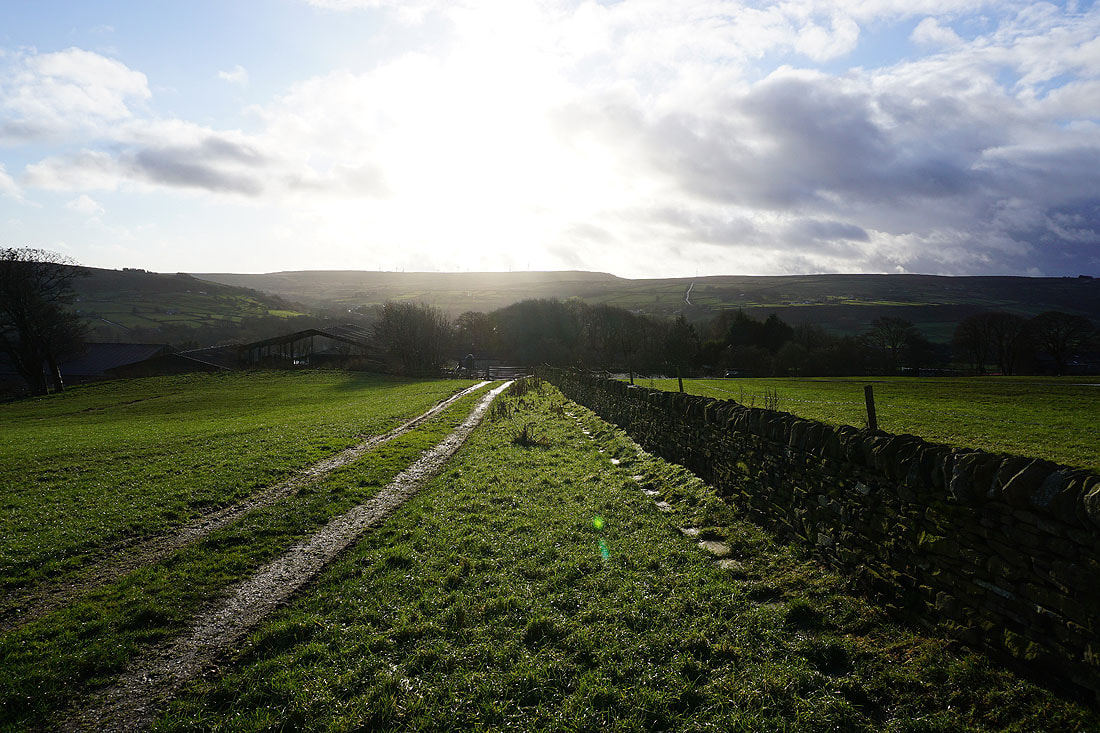
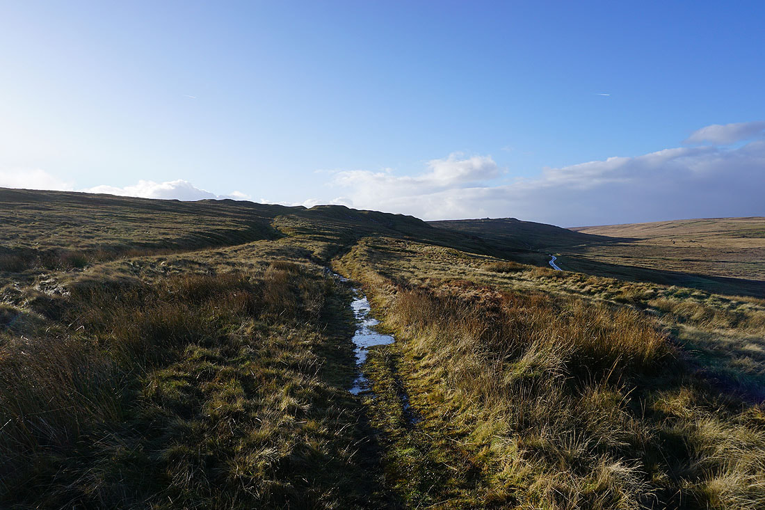
On the track from Haworth Moor back to Penistone Hill Country Park