26th December 2023 - Great Knoutberry Hill
Walk Details
Distance walked: 8.3 miles
Total ascent: 1776 ft
OS map used: OL2 - Yorkshire Dales, Southern & Western areas
Time taken: 5.5 hrs
Route description: Next to road down into Dentdale-Stone House-Pennine Bridleway-Galloway Gate-Pikes Edge-Great Knoutberry Hill-Pennine Bridleway-Newby Head Gate-Next to road down into Dentdale
I'm off work between Christmas and New Year, returning on the 2nd January, and unfortunately it looks likely that good weather will be in short supply. Actually, today will be probably have the best of it, so I decided to head north into the Yorkshire Dales to do a walk that I couldn't go through the whole year without doing, Great Knoutberry Hill from Dentdale. The forecast was for a fine day, at least during daylight hours, although the sunshine would start to turn hazy during the afternoon in advance of more rain. Although I set off with quite a bit of blue sky and sunshine, cloud quickly developed, spread across the sky, and lowered onto the tops of the fells as I was following the bridleway along the side of Great Knoutberry Hill. It meant that I had no view from the summit of Great Knoutberry Hill, a first, although it soon returned as I was making my way down. Instead of starting from the layby below the Dent Head Viaduct, which now has signs saying that it's a turning circle for HGVs, I parked my car further up the road towards Newby Head at the bottom of a track that goes up into the conifer plantations.
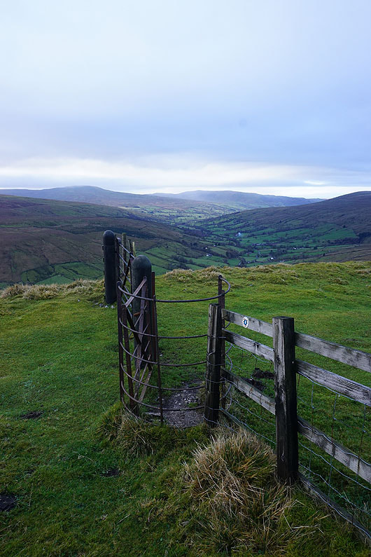
From where I parked my car by the side of the road down into Dentdale where a track goes into the conifer plantations, I set off by walking down the road to the hamlet of Stone House. The road was left behind for the Pennine Bridleway which passes Stonehouse Farm and heads up Arten Gill beneath the Arten Gill Viaduct. At its top I turned left and took the Galloway Gate bridleway (still part of the Pennine Bridleway), which I followed west and then north round the side of Great Knoutberry Hill. When it reached a gate at some sheepfolds and a fence I left the bridleway behind to follow the fence up to the cairns on Pikes Edge. Lunch was taken here and then it was uphill once more to the trig point on the summit of Great Knoutberry Hill. After waiting in vain for a view I continued by following the wall south off the summit and down to the byway that had made its way up from Widdale. A right turn and I was soon back to where I was earlier in the day, the top of the bridleway up Arten Gill. Here I turned left and took the bridleway that runs south across the side of Wold Fell and down to Newby Head Gate. Once at Newby Head Gate I just had the walk down the road into Dentdale to where I'd parked my car to finish.
Total ascent: 1776 ft
OS map used: OL2 - Yorkshire Dales, Southern & Western areas
Time taken: 5.5 hrs
Route description: Next to road down into Dentdale-Stone House-Pennine Bridleway-Galloway Gate-Pikes Edge-Great Knoutberry Hill-Pennine Bridleway-Newby Head Gate-Next to road down into Dentdale
I'm off work between Christmas and New Year, returning on the 2nd January, and unfortunately it looks likely that good weather will be in short supply. Actually, today will be probably have the best of it, so I decided to head north into the Yorkshire Dales to do a walk that I couldn't go through the whole year without doing, Great Knoutberry Hill from Dentdale. The forecast was for a fine day, at least during daylight hours, although the sunshine would start to turn hazy during the afternoon in advance of more rain. Although I set off with quite a bit of blue sky and sunshine, cloud quickly developed, spread across the sky, and lowered onto the tops of the fells as I was following the bridleway along the side of Great Knoutberry Hill. It meant that I had no view from the summit of Great Knoutberry Hill, a first, although it soon returned as I was making my way down. Instead of starting from the layby below the Dent Head Viaduct, which now has signs saying that it's a turning circle for HGVs, I parked my car further up the road towards Newby Head at the bottom of a track that goes up into the conifer plantations.
From where I parked my car by the side of the road down into Dentdale where a track goes into the conifer plantations, I set off by walking down the road to the hamlet of Stone House. The road was left behind for the Pennine Bridleway which passes Stonehouse Farm and heads up Arten Gill beneath the Arten Gill Viaduct. At its top I turned left and took the Galloway Gate bridleway (still part of the Pennine Bridleway), which I followed west and then north round the side of Great Knoutberry Hill. When it reached a gate at some sheepfolds and a fence I left the bridleway behind to follow the fence up to the cairns on Pikes Edge. Lunch was taken here and then it was uphill once more to the trig point on the summit of Great Knoutberry Hill. After waiting in vain for a view I continued by following the wall south off the summit and down to the byway that had made its way up from Widdale. A right turn and I was soon back to where I was earlier in the day, the top of the bridleway up Arten Gill. Here I turned left and took the bridleway that runs south across the side of Wold Fell and down to Newby Head Gate. Once at Newby Head Gate I just had the walk down the road into Dentdale to where I'd parked my car to finish.
Route map
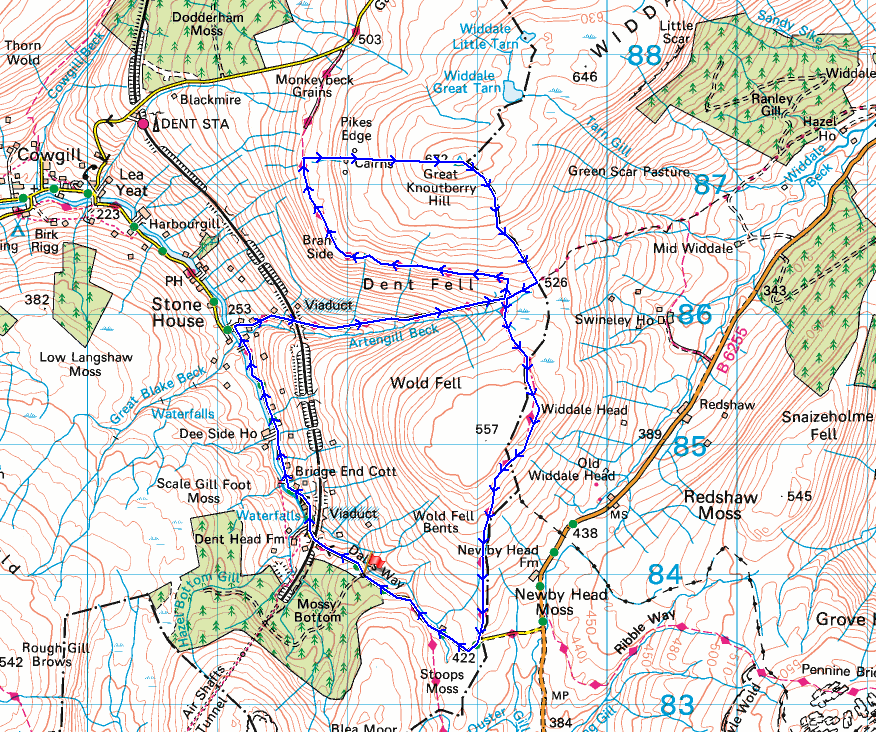
© Crown copyright. All rights reserved. License number PU 100034184.
A great view of the Dent Head Viaduct as I set off down the road into Dentdale
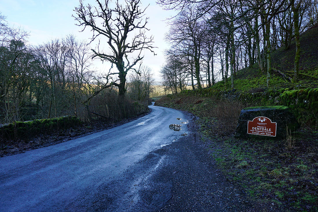
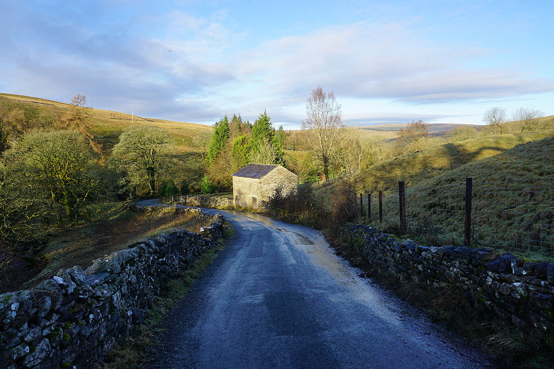
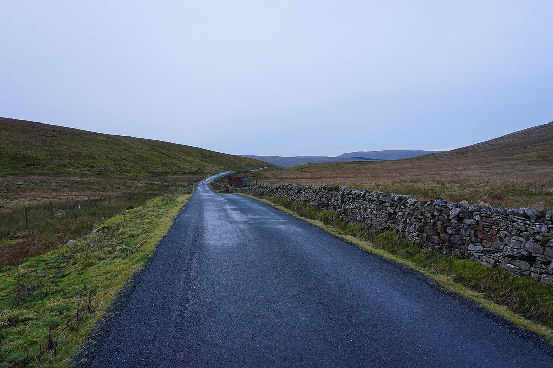
Walking down the road to Stone House in Dentdale..
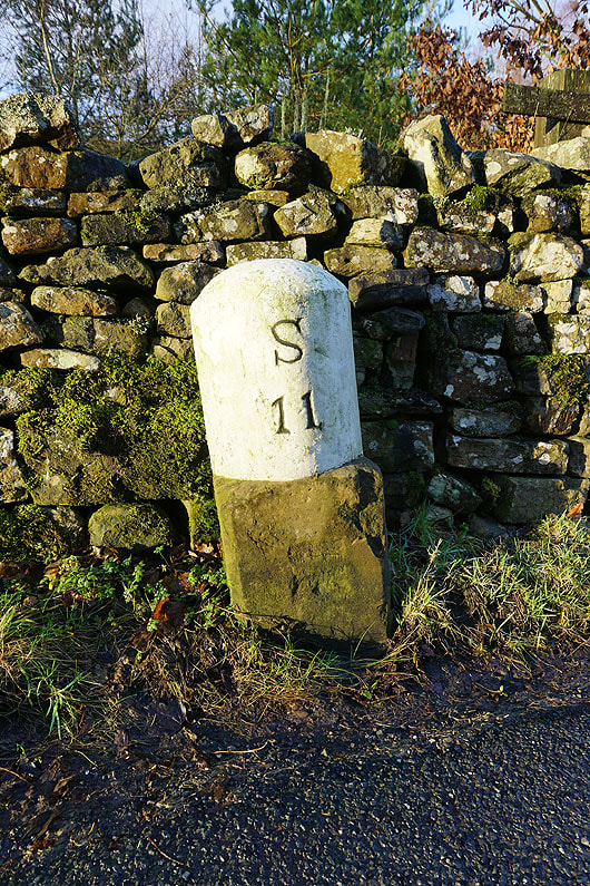
Eleven miles to Sedbergh
|
|
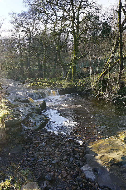
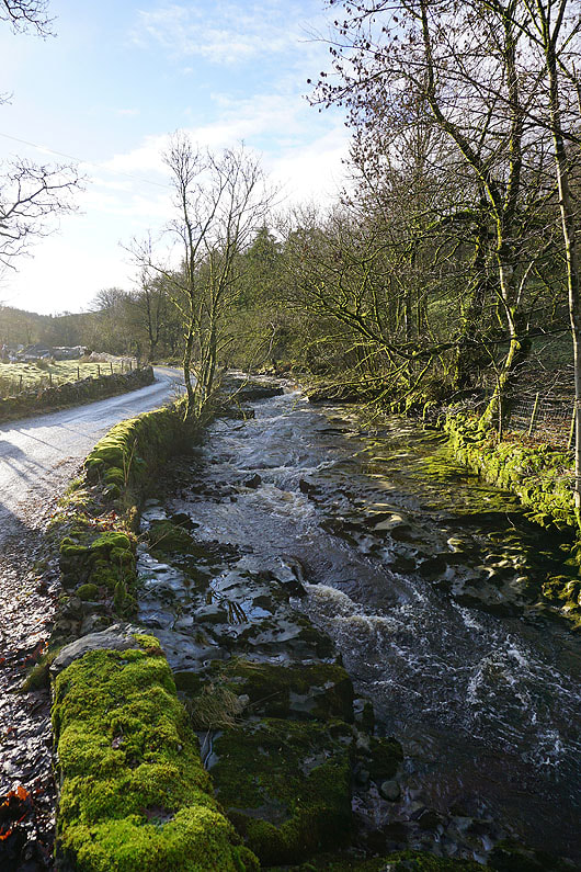
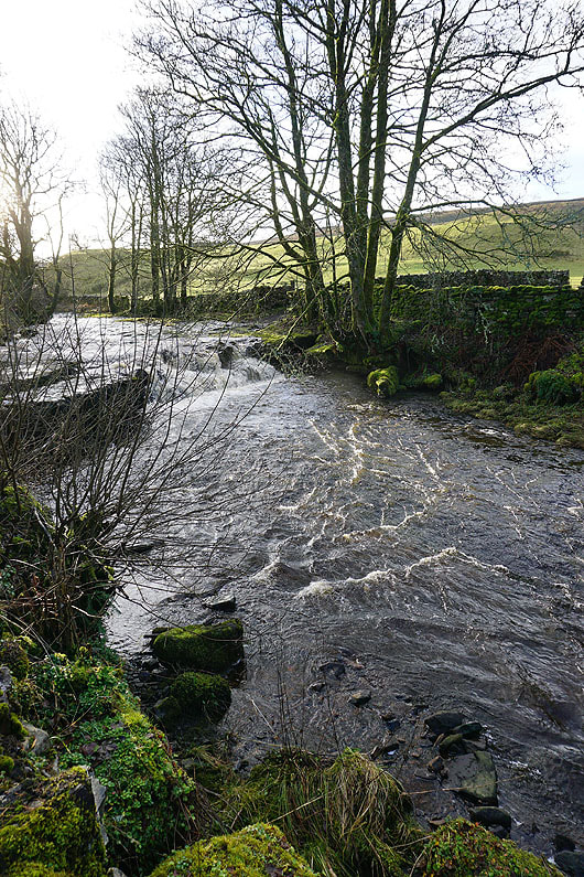
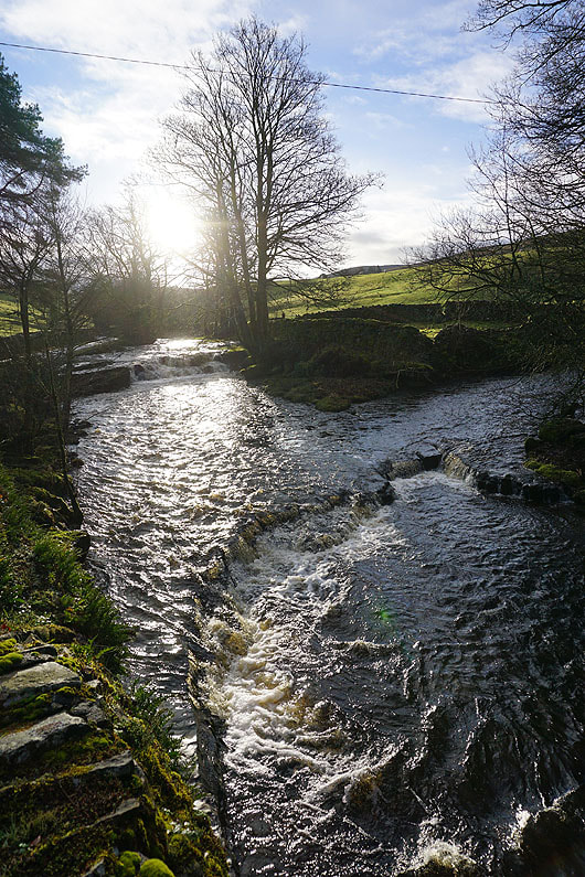
I soon have the River Dee for company as it heads downstream alongside the road. The river drops over numerous rocky ledges, which gives me plenty of photo opportunities.....
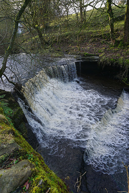
The waterfall of Scow Force
|
|
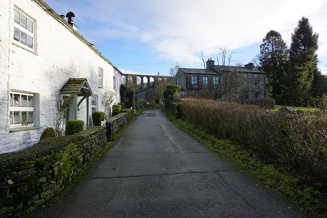
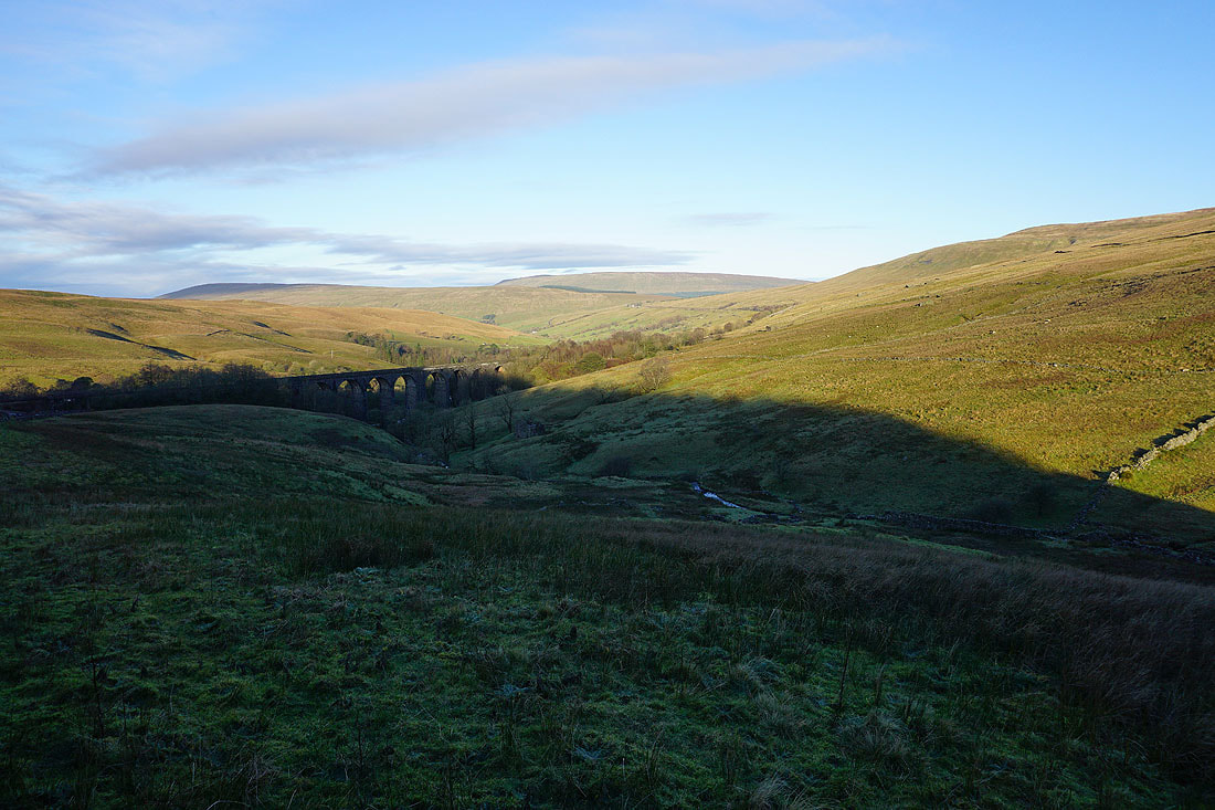
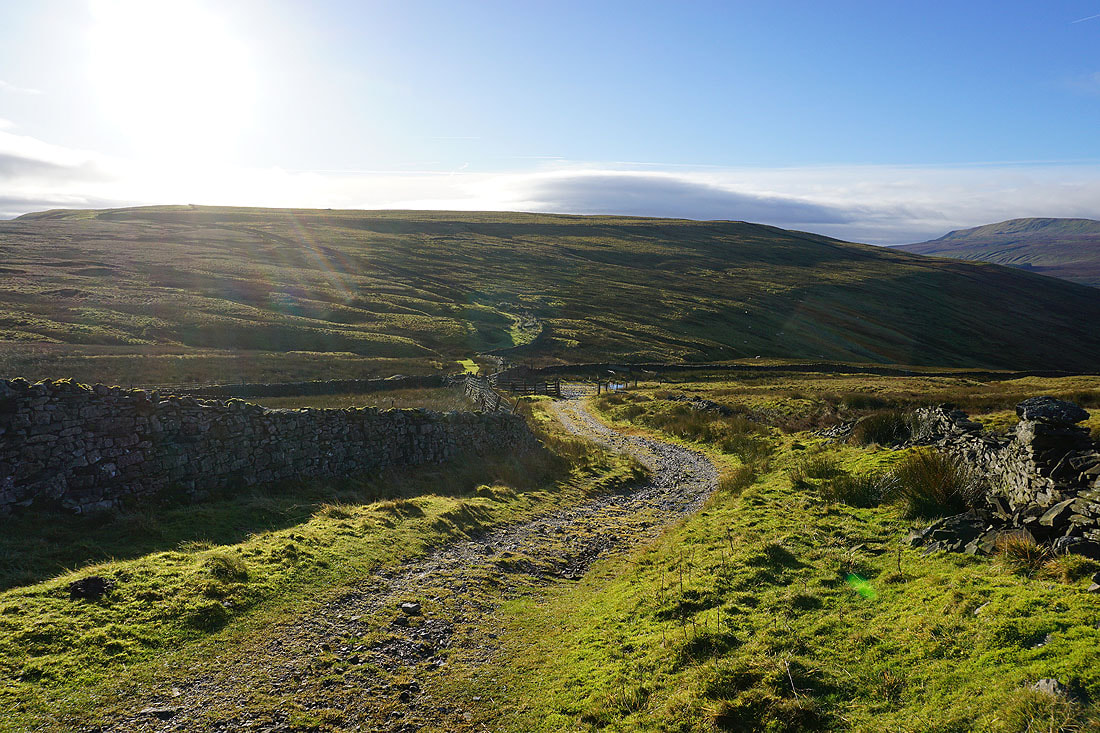
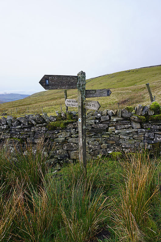
I join the Pennine Bridleway at Stonehouse Farm and follow the track up Arten Gill beneath the Arten Gill Viaduct..
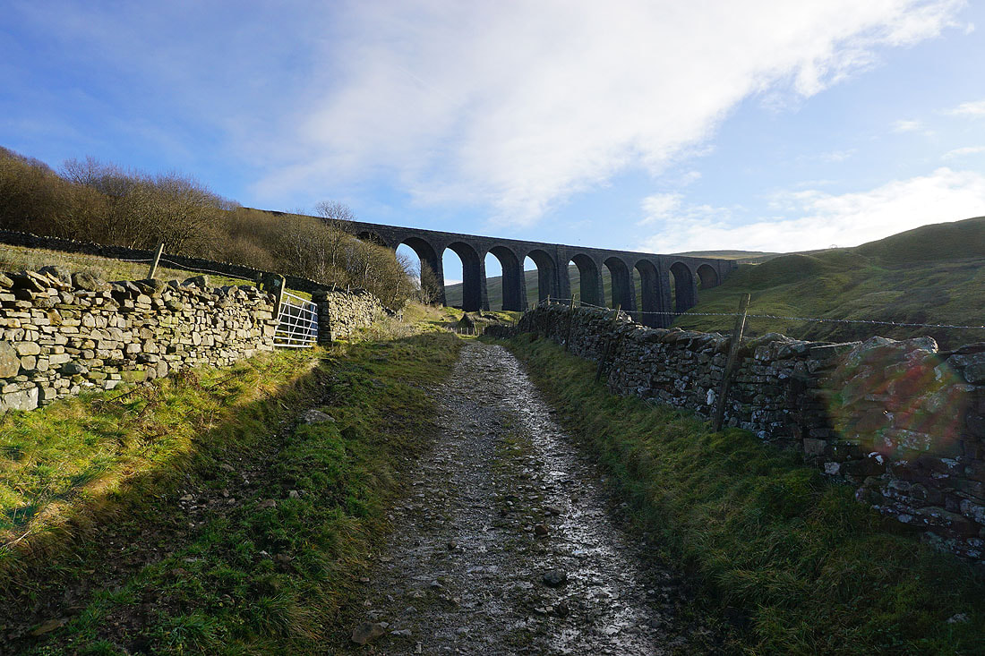
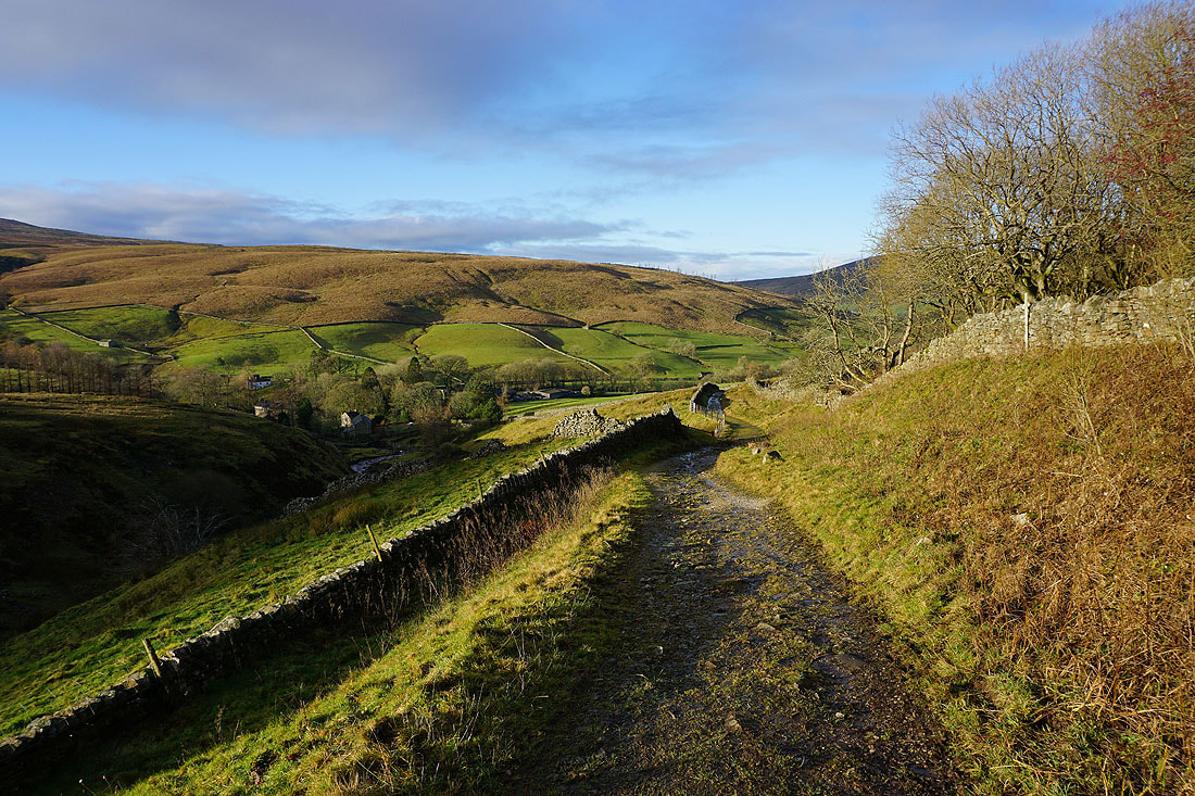
Looking down to Stone House as I reach the Arten Gill Viaduct
Looking back to the Arten Gill Viaduct as I follow the Pennine Bridleway uphill..
Great Coum and Middleton Fell in the distance as I near the top of Arten Gill
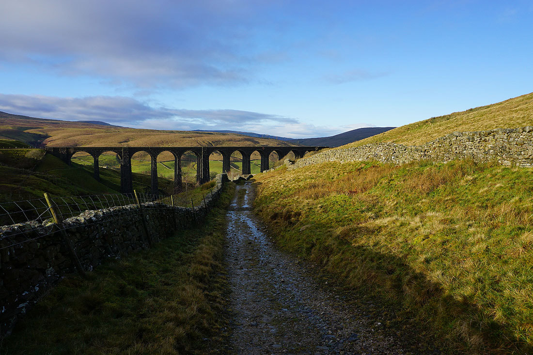
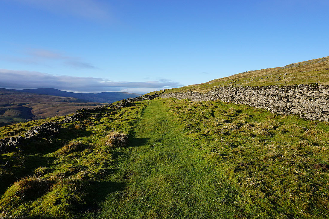
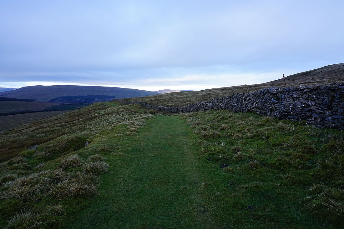
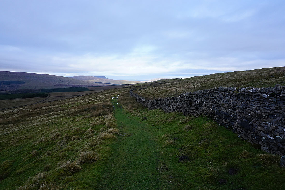
The junction of bridleways at the top of Arten Gill below as I join the Galloway Gate bridleway that runs along the western slopes of Great Knoutberry Hill..
Whernside and Great Coum with Arten Gill and the Arten Gill Viaduct below
Looking back along the bridleway to Dodd Fell Hill in the distance
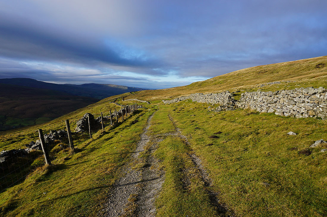
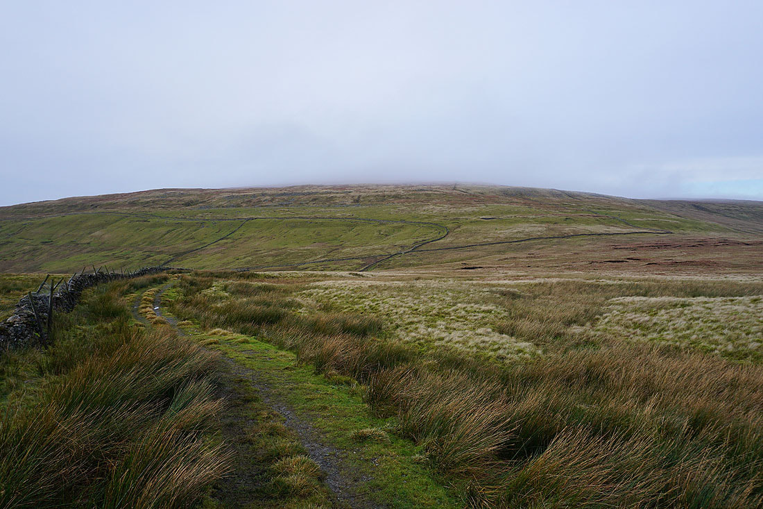
The skies are clouding over quickly as I follow the bridleway west
Whernside, and Great Coum, with Arten Gill and the Arten Gill Viaduct below
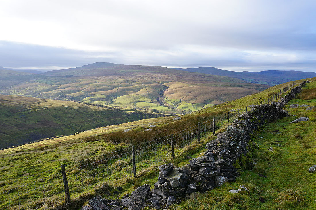
Looking down on the Arten Gill Viaduct
I can see the curve of the railway line as it reaches the head of Dentdale and enters the Bleamoor Tunnel
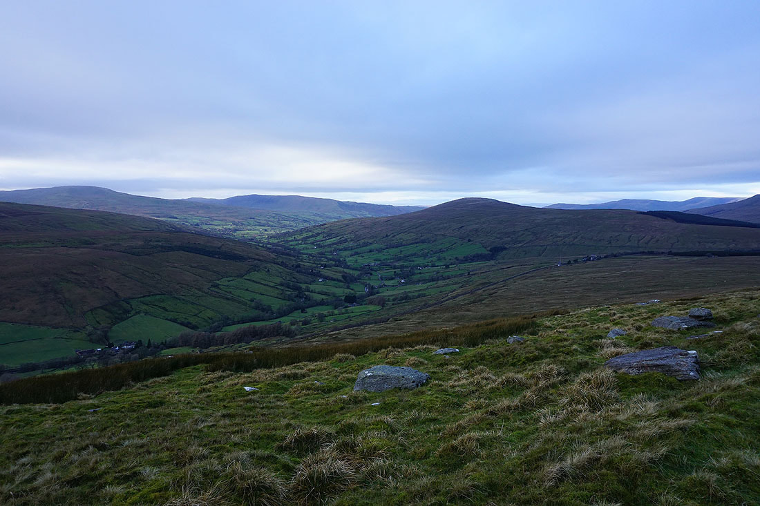
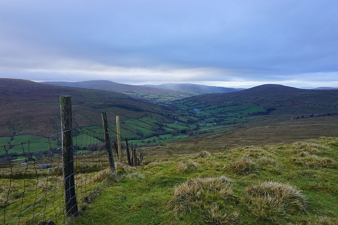
The view of Dentdale, and the fells of Great Coum, Middleton Fell and Aye Gill Pike to my left as the bridleway crosses the western slopes of Great Knoutberry Hill
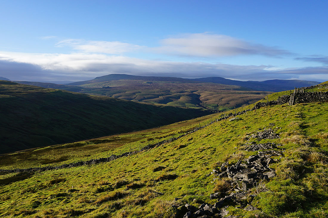
The flat top of Wild Boar Fell is now in sight to the right of Baugh Fell
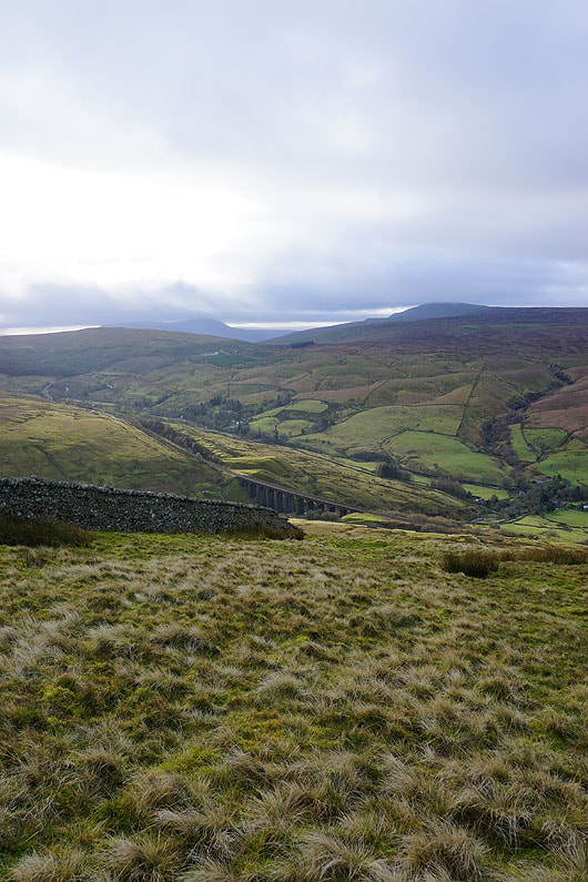
A couple more shots of the view down Dentdale. These dull and overcast skies are very disappointing. I'm used to much better conditions for this walk..
Just ahead I'll leave the bridleway and head up Great Knoutberry Hill
A cloud topped Great Coum, Dentdale, Middleton Fell, and Aye Gill Pike round to the southern slopes of the Howgills as I reach Pikes Edge
Wild Boar Fell to the north
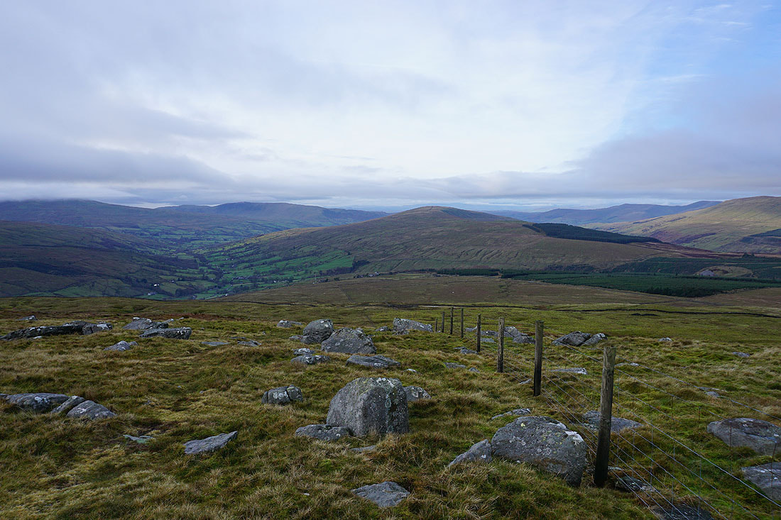
Cloud topped Ingleborough and Whernside to the south. The boulders and cairns on Pikes Edge make a good spot to stop for lunch, even if the one that I've used for shelter in the past has been knocked down.
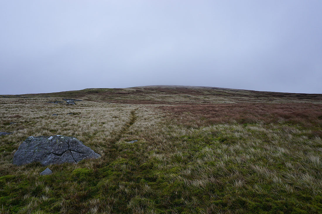
I leave Pikes Edge and make my way up towards the summit
It isn't easy not to stop every few steps to turn round and take in that view, even if the cloud is threatening to take it away..
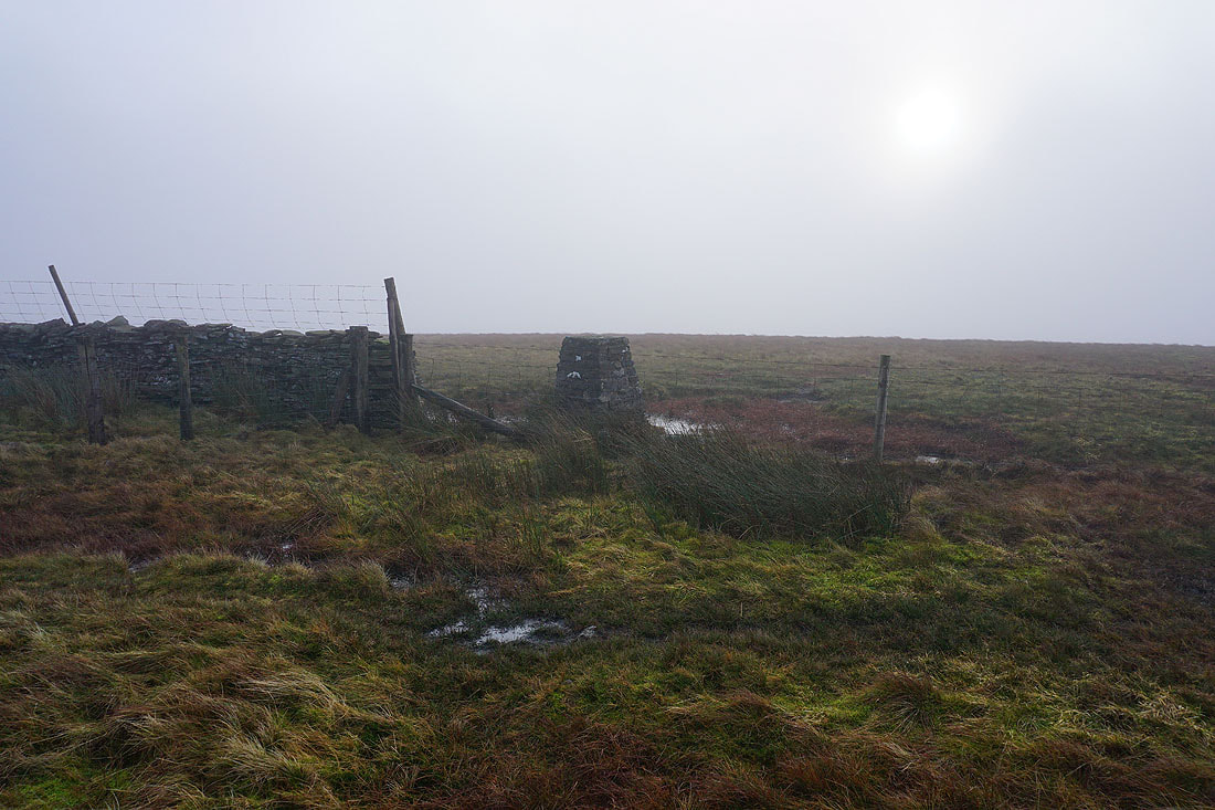
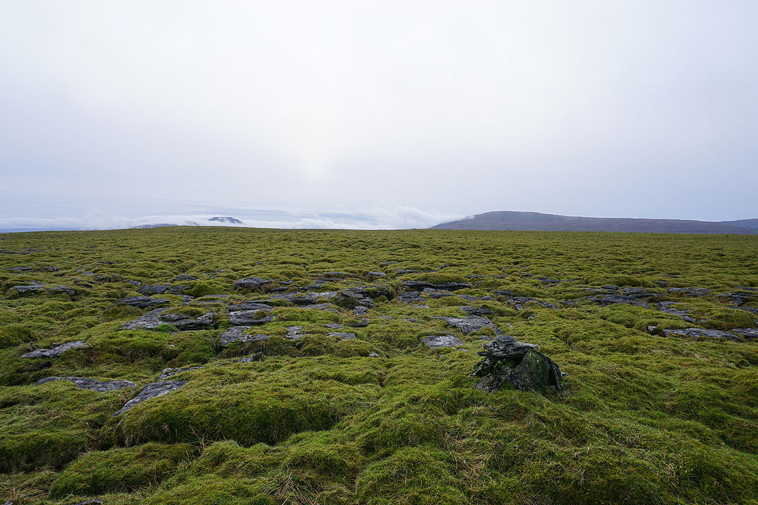
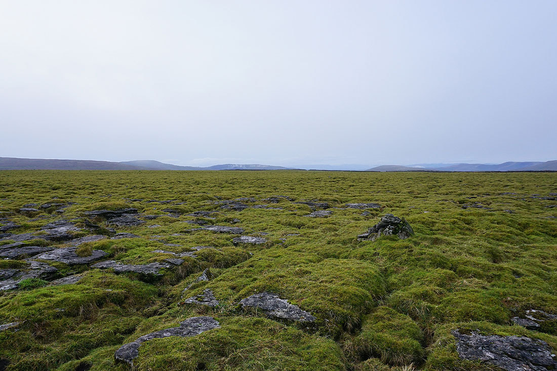
At the trig point on Great Knoutberry Hill. With the cloud thin enough to see the sun through it, I decided to hang around for a while to see if it would clear and give me a view. It didn't.
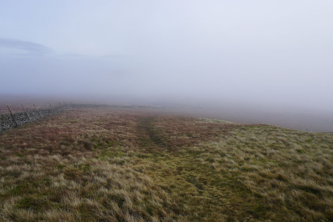
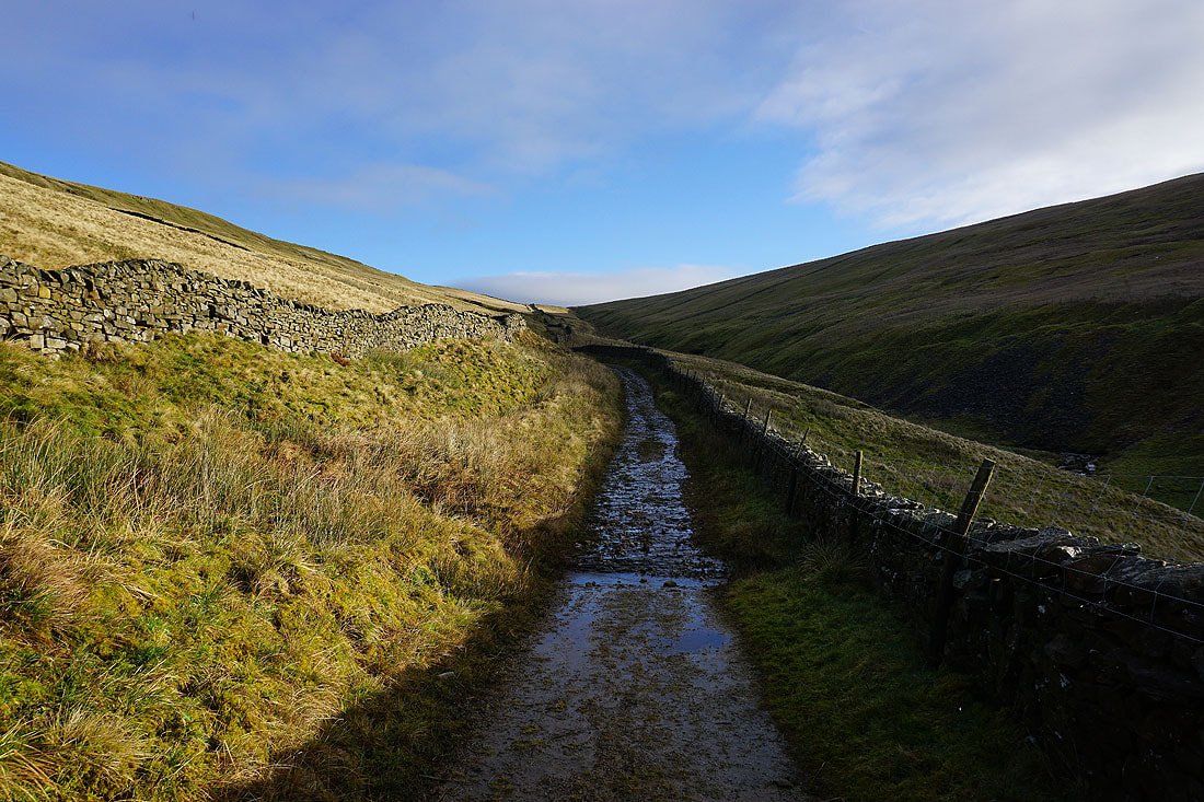
Following the wall from the summit down to Arten Gill Moss
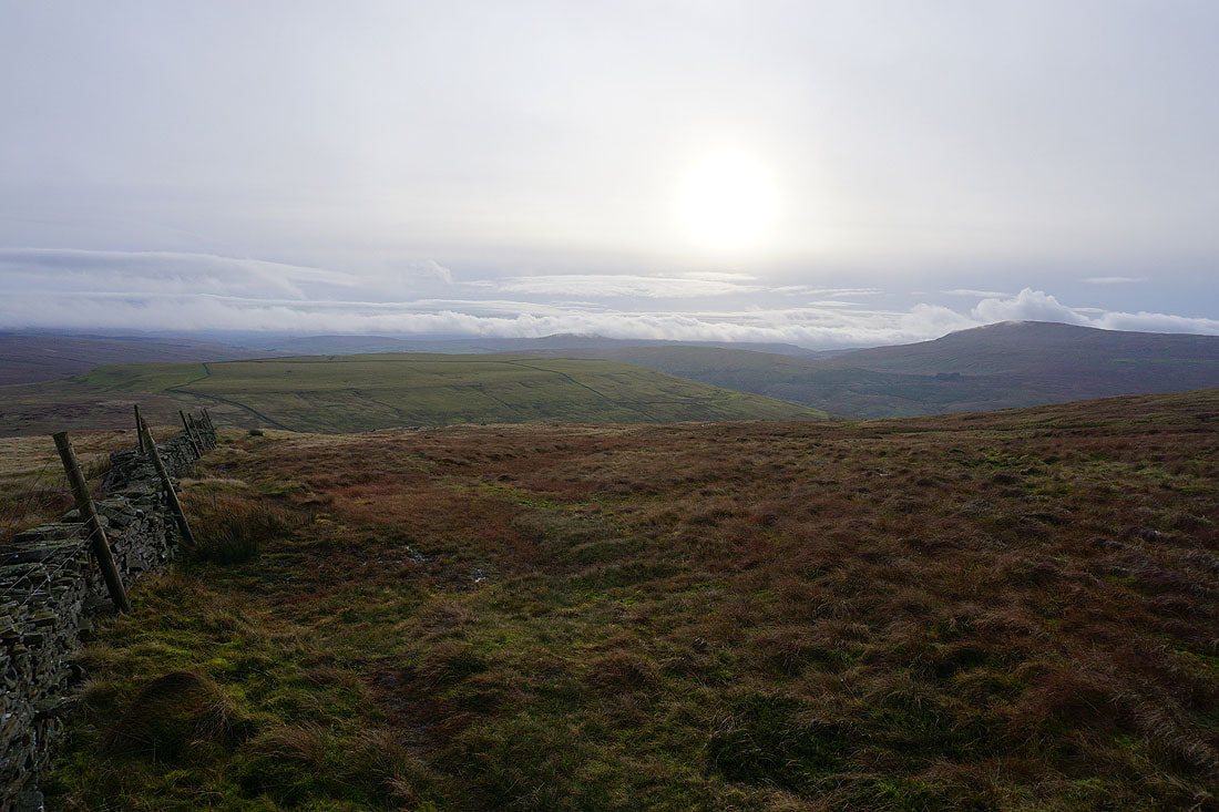
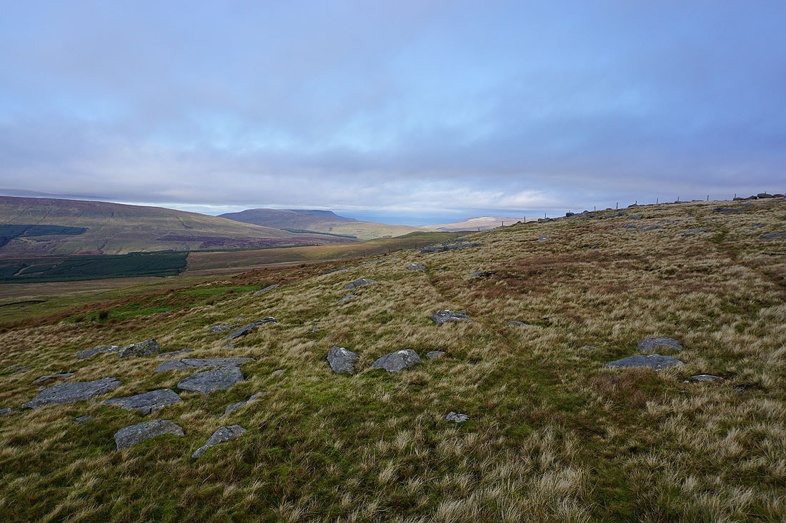
Lower down and I'm out of the cloud. Looking south, the fells around Ribblesdale are shrouded in low cloud, but Whernside on the right, is just about clear.
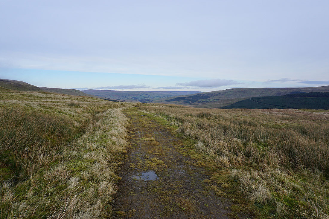
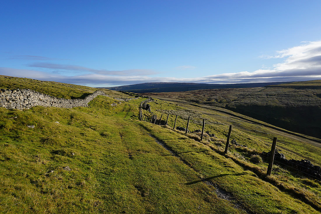
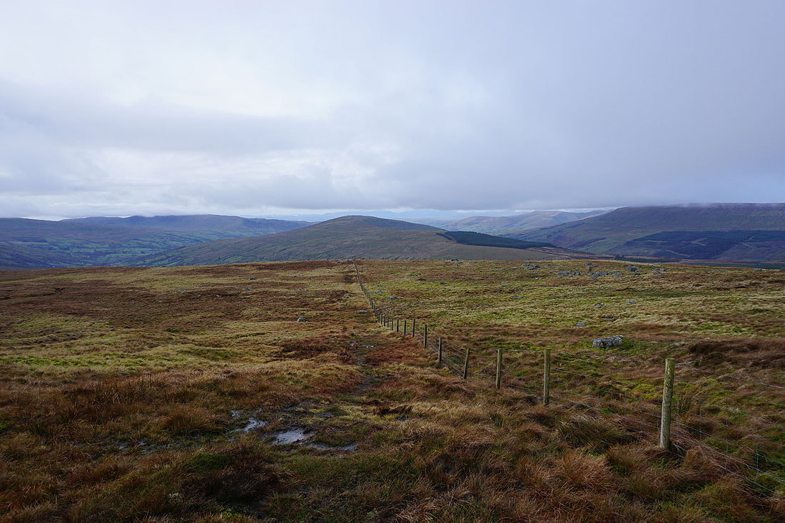
Looking towards Widdale and Wensleydale from the top of the bridleway on Arten Gill Moss
I'm going the other way, down to the top of Arten Gill
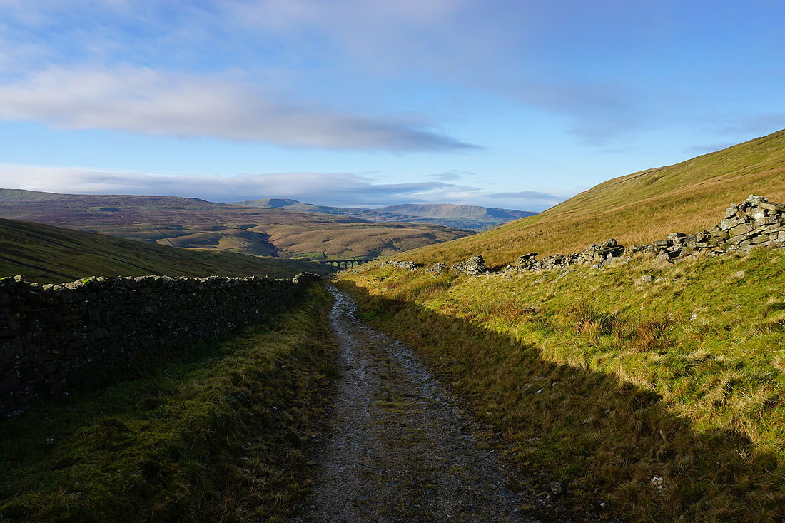
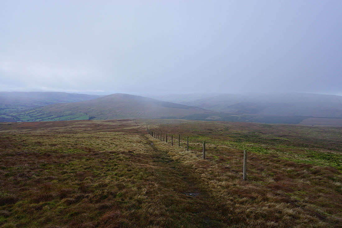
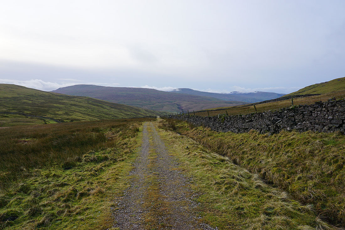
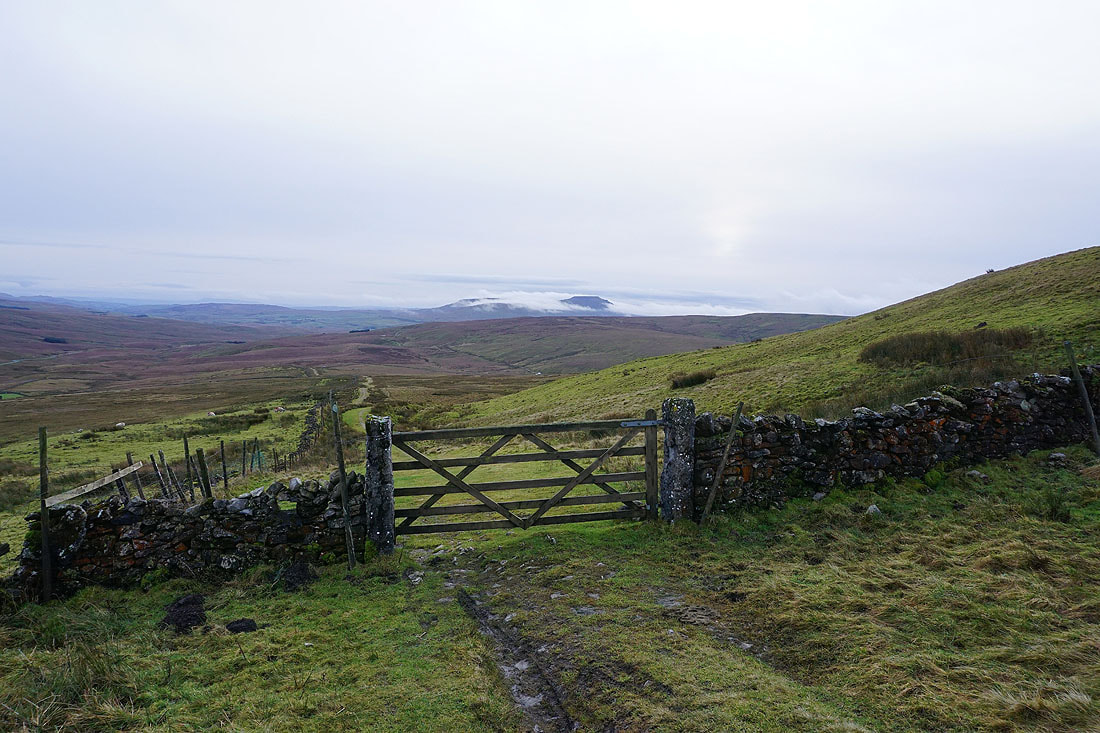
At the junction of bridleways I was at earlier in the day, and this time I take the one to Newby Head Road
Looking back to Great Knoutberry Hill. The top is still in cloud. It would have been sod's law if it had cleared.
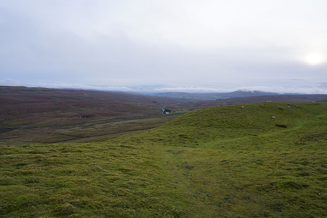
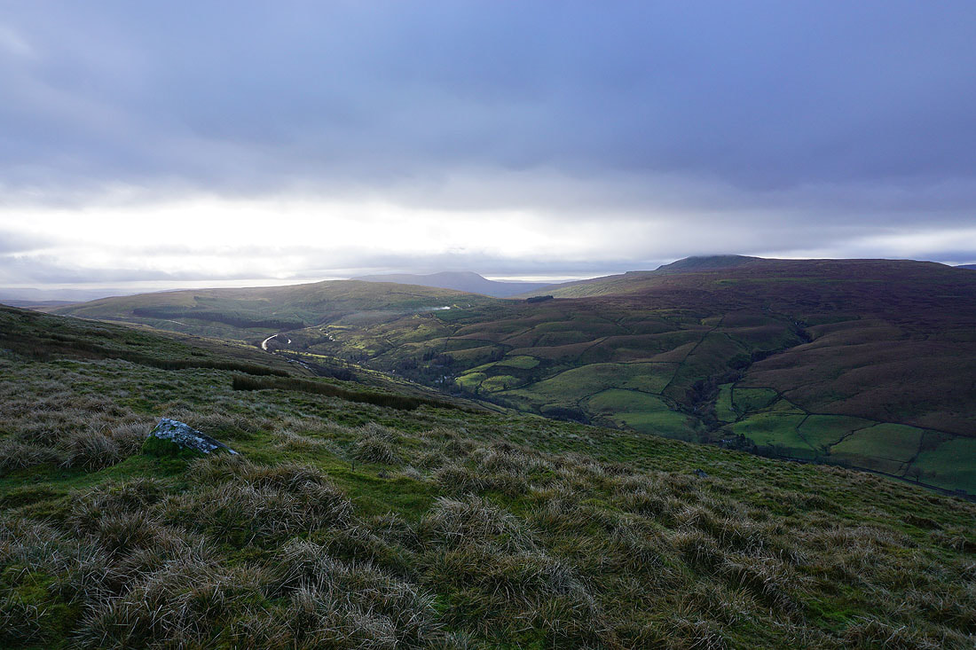
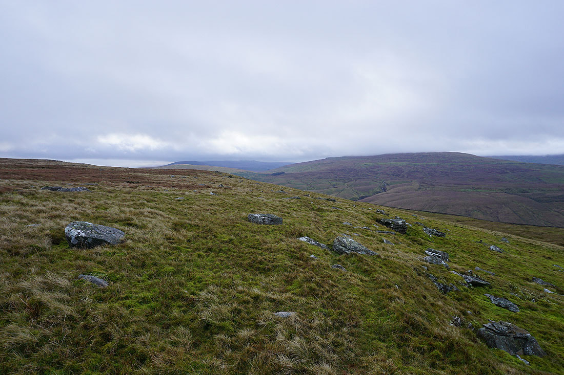
A cloud topped Penyghent and Ingleborough, with Newby Head Farm protected by its stand of trees next to the Hawes to Ribblehead road below, from the bridleway across Wold Fell
Crossing Wold Fell and I can see the top of Ingleborough above the cloud
A short detour from the bridleway was required to reach the top of Wold Fell. Although it's very flat there's a good view with Ingleborough and Whernside to the south. It looks like the low cloud is clearing at the expense of the thickening high cloud, and ever weaker hazy sunshine.
Great Coum, Middleton Fell, some of the Lake District fells on the skyline, Aye Gill Pike, and the Howgills to the west
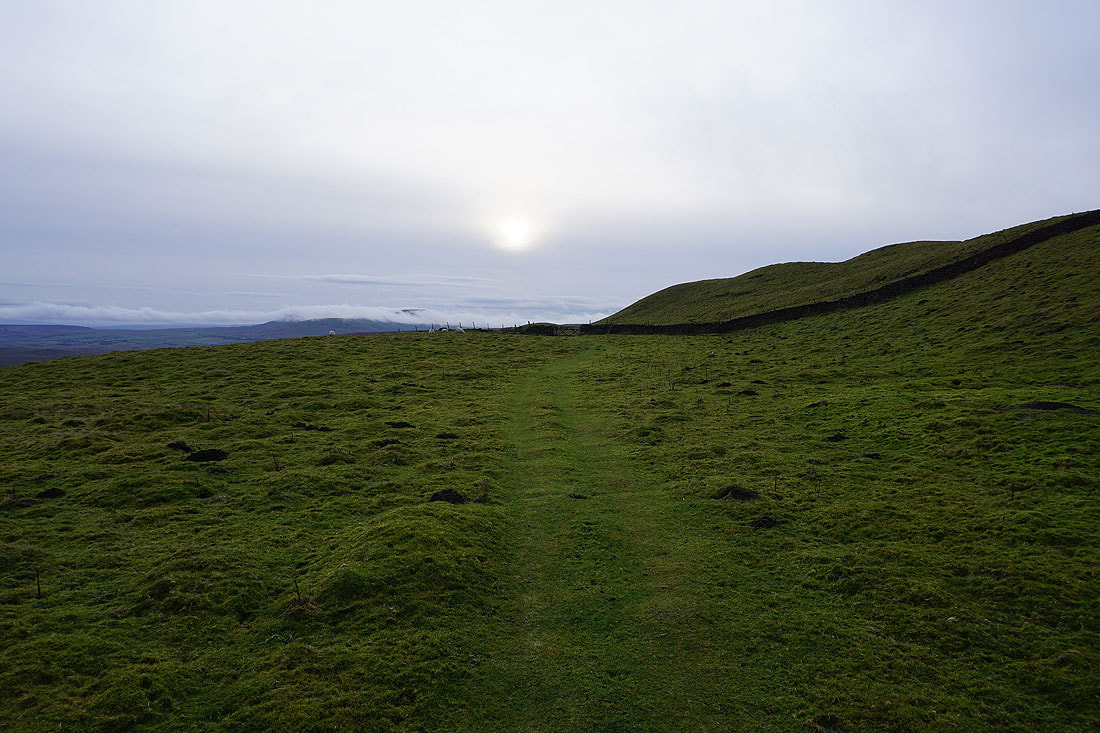
Following the bridleway down to Newby Head Road..
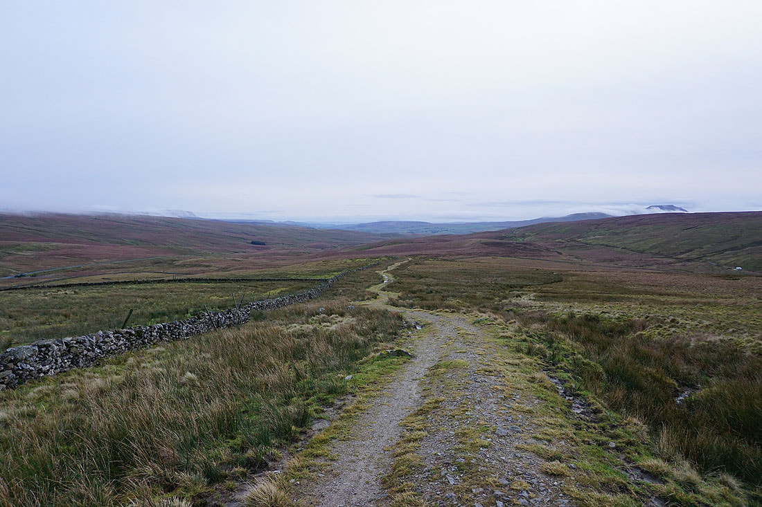
From Newby Head Gate I have a walk down the road to where I've parked my car to finish with