26th July 2014 - The Howgills
Walk Details
Distance walked: 10.3 miles
Total ascent: 2825 ft
OS map used: OL19- Howgill Fells & Upper Eden Valley
Time taken: 6.5 hrs
Route description: Sedbergh-Howgill Lane-Four Lane Ends-Castley-White Fell Head-The Calf-Calders-Arant Haw-Winder-Lockbank Farm-Howgill Lane-Sedbergh
When I drove up to Melmerby a few weeks ago I passed the Howgills on the M6 and realised that I hadn't done a walk on them this year. It's one of my favourite places so I decided that a visit was due. The weather was hot and sunny but quite hazy, so I was very grateful for the breeze that was blowing across the tops. It made the slog up White Fell bearable.
From the car park in Sedbergh I set off on the long walk up Howgill Lane to reach Four Lane Ends. I then took the bridleway past Cookson's Tenement and Castley that heads into the fells. After fording Chapel Beck I climbed White Fell to reach White Fell Head and then the high point of the walk, The Calf. The route back to Sedbergh was along the bridleway to Calders and then on to Arant Haw and Winder, down to and through Lockbank Farm and back down Howgill Lane.
Route map
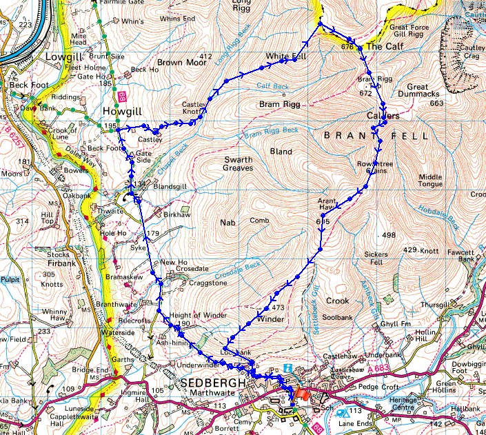
© Crown copyright. All rights reserved. License number PU 100034184.
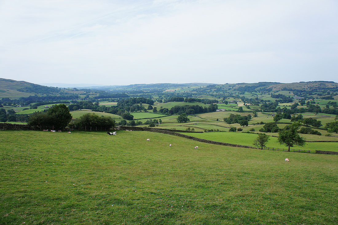
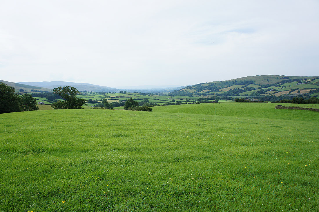
Soon after leaving Sedbergh on Howgill Lane the view opens out to reveal the Lune valley to the west
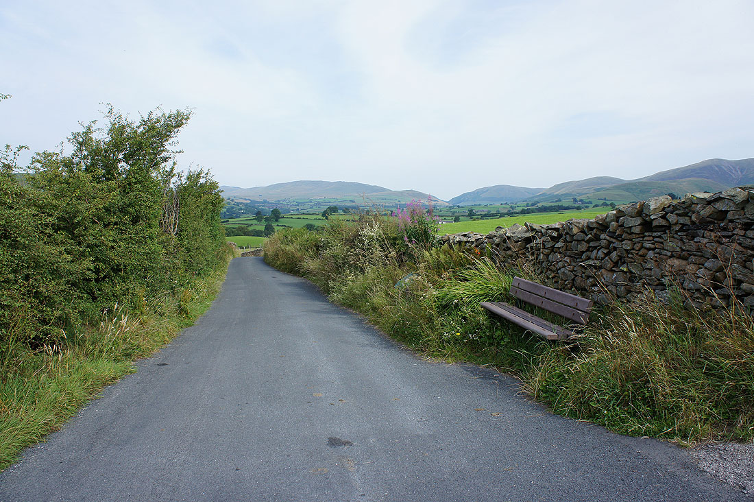
The way ahead. I resisted the bench.
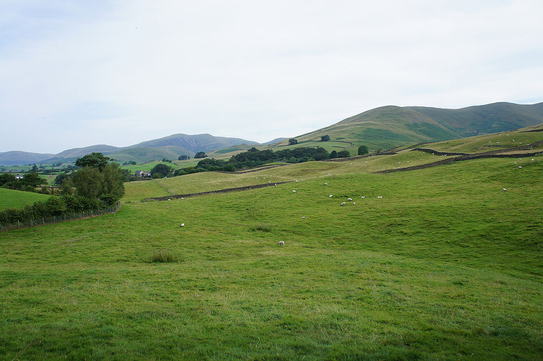
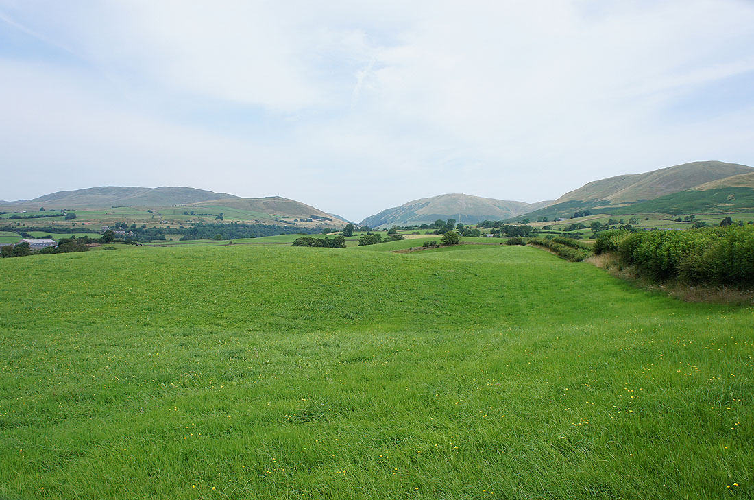
To my right the hill of Fell Head and one of the ridges of Arant Haw
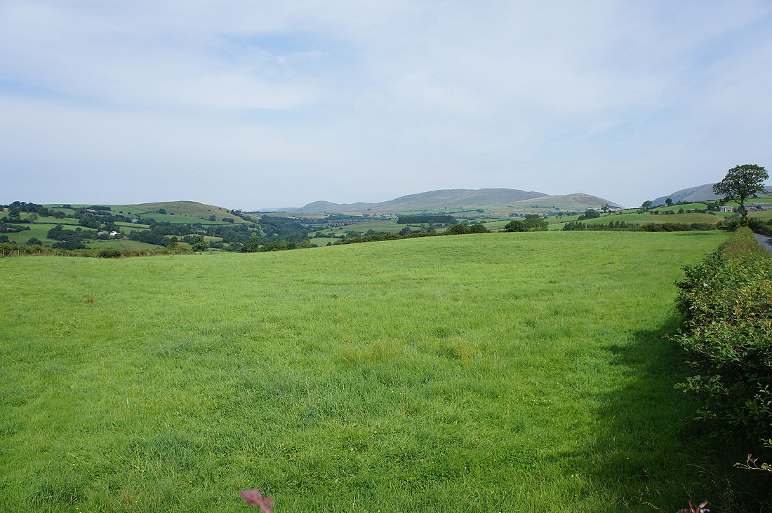
and my left the Lune valley and the Whinfell ridge
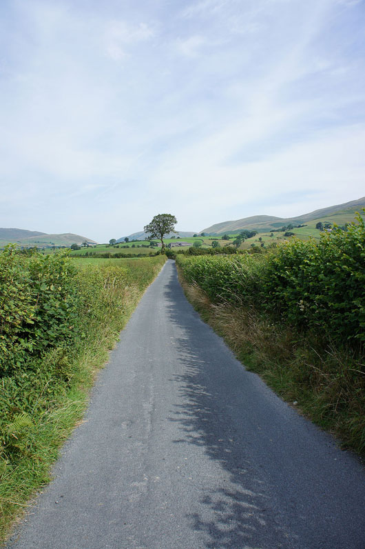
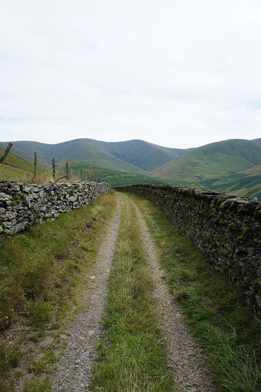
Howgill Lane is a quiet road but when you do encounter traffic there isn't much room to get out of the way
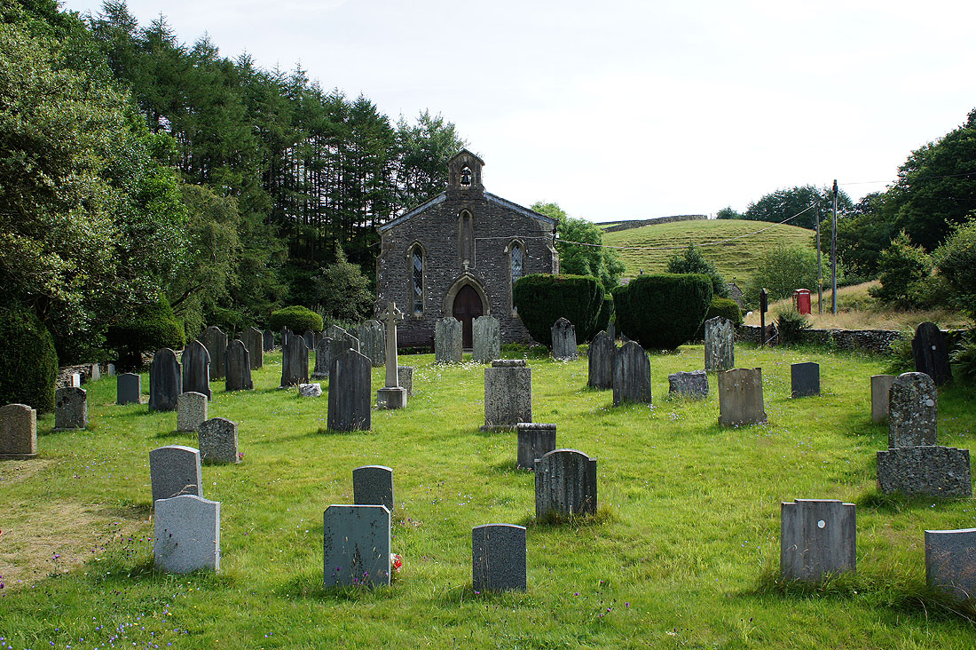
The church in Howgill. I've seen it several times from Howgill Lane but I've never taken the trouble to go down the gated lane to see it.
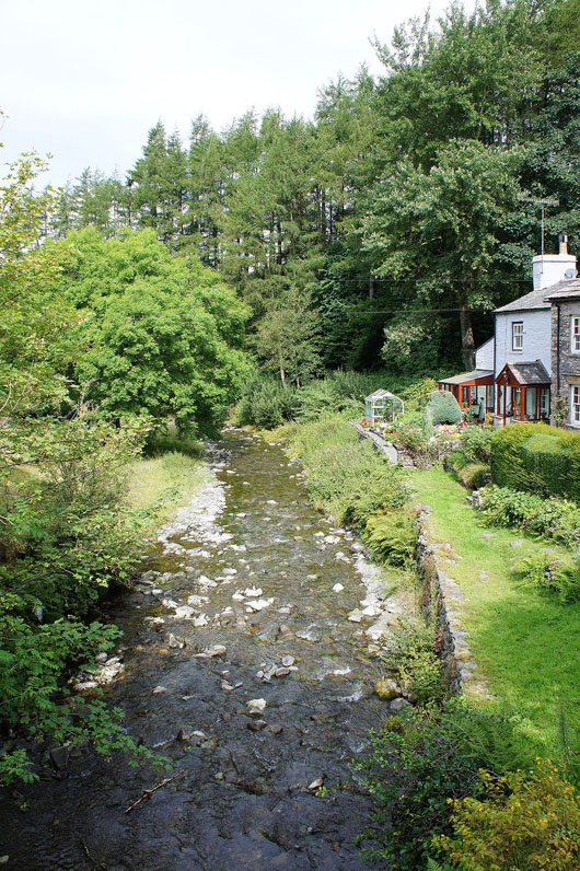
Chapel Beck. Those cottages are in a delightful spot.
Finally at Four Lane Ends and I can leave the road. Looking north towards the Lune gorge with Grayrigg Common on the left and Blease Fell and Linghaw on the right.
The Lune valley from the bridleway to Cookson's Tenement
Past the farm at Castley and into the hills
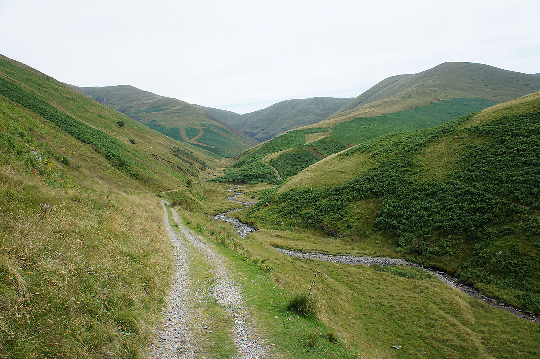
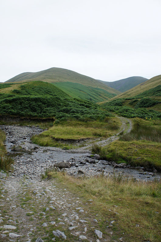
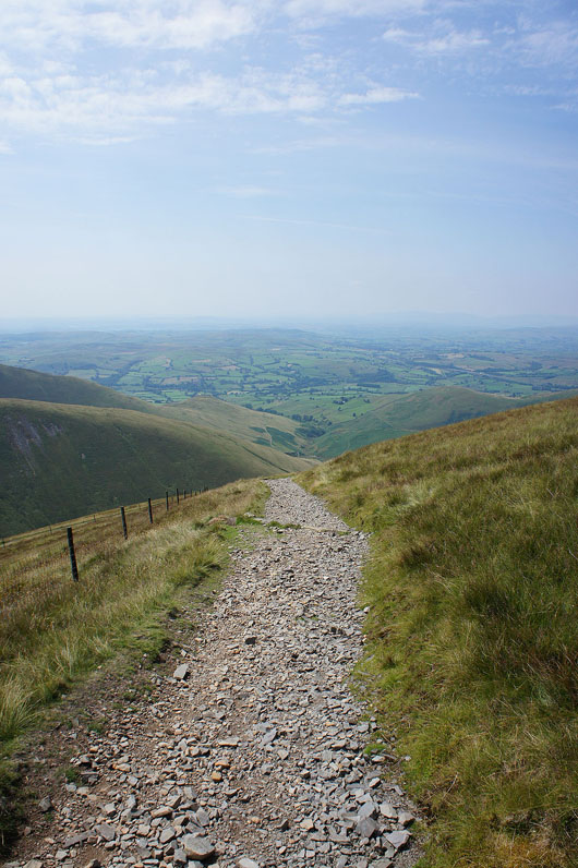
The track heads down to and across Chapel Beck and then up the ridge of White Fell
|
|
Easy to ford with the lack of recent rain and then a long relentless slog
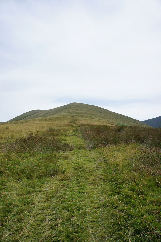
Fell Head from White Fell Head
The Calf is just a short walk away
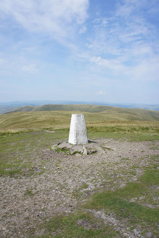
At the high point of the walk, The Calf
It's a bit hazy with the heat but I can still make out the Lake District fells beyond the nearby Howgills
as well as the Kent estuary and Killington Lake
To the north is Cross Fell and the rest of the North Pennines
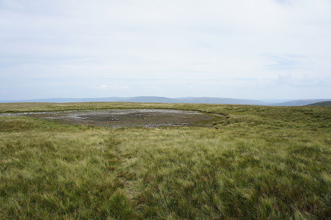
Wild Boar Fell in the distance behind a dried up summit pool. It's the first time that I've seen it empty but it wasn't a surprise with the warm weather we're having.
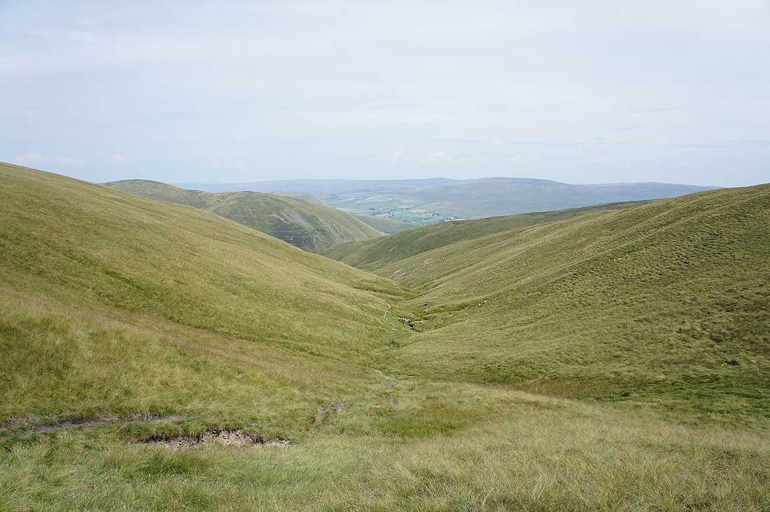
Passing the top of Force Gill Beck which leads to Cautley Spout
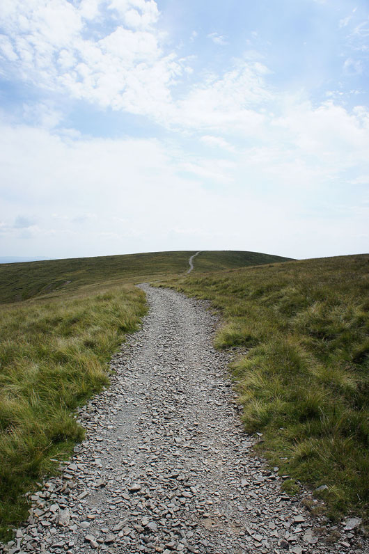
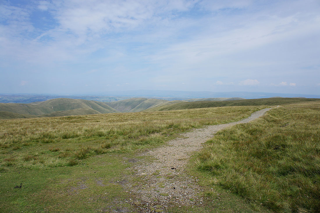
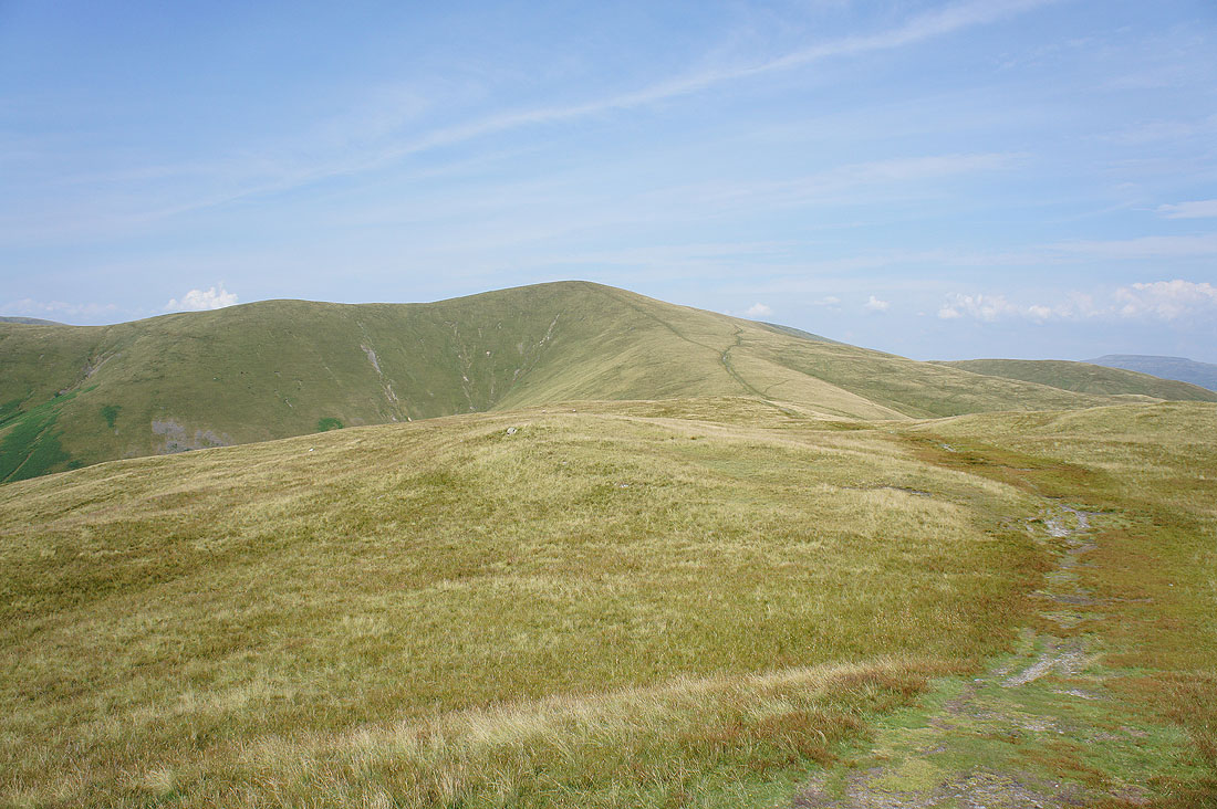
The stony path to Calders
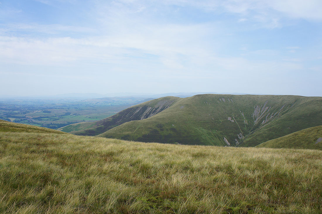
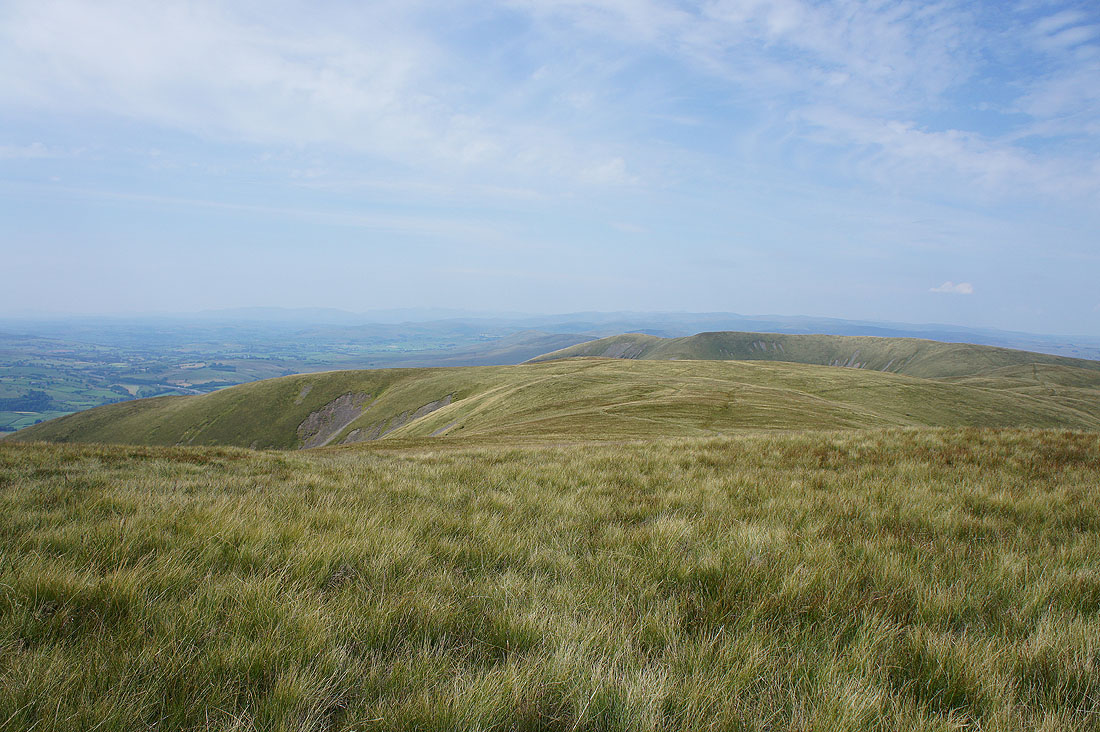
Looking back to The Calf from Calders
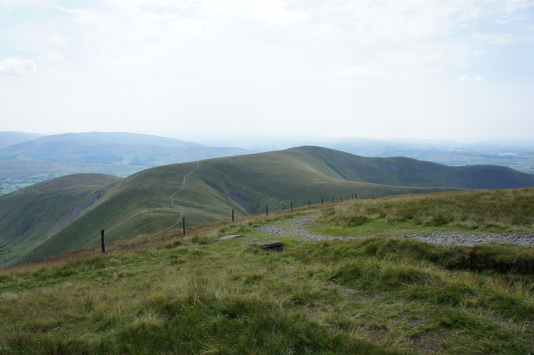
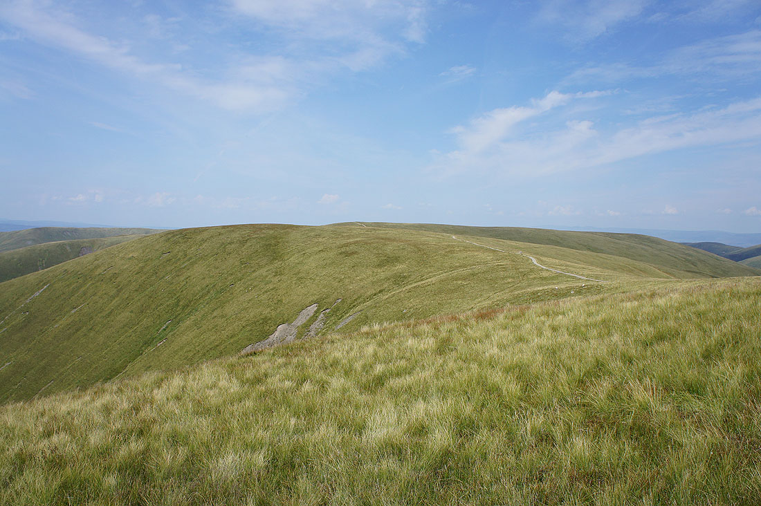
and ahead to the next top of Arant Haw
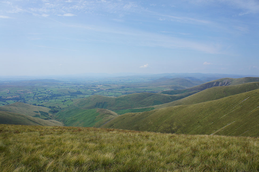
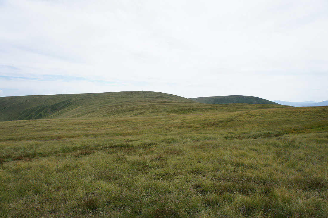
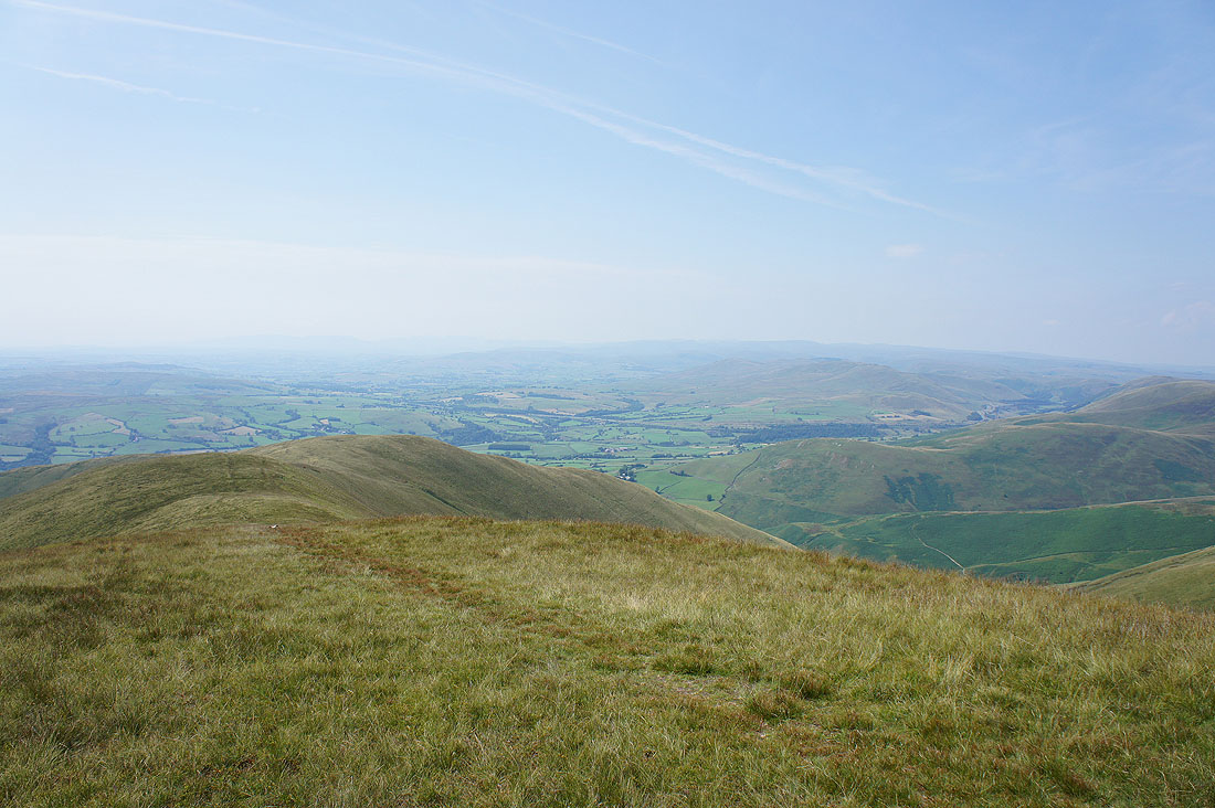
Lots of Howgill ridges and the Lake District fells just visible through the haze
The nearby hill of Great Dummacks
Many hills of the Yorkshire Dales including Penyghent, Whernside, Ingleborough and Great Coum
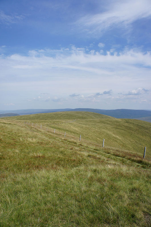
Heading down off Calders
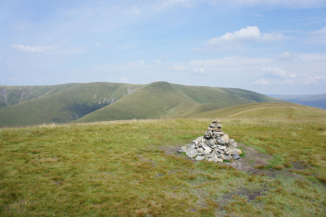
On the summit of Arant Haw. The Calf, Bram Rigg Top and Calders.
The western ridge of Arant Haw descending into the Lune valley. A hazy view towards the Lakes.
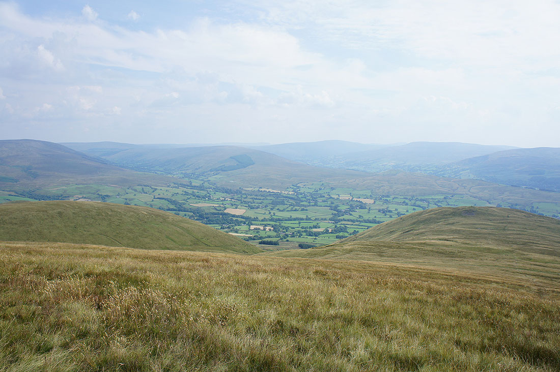
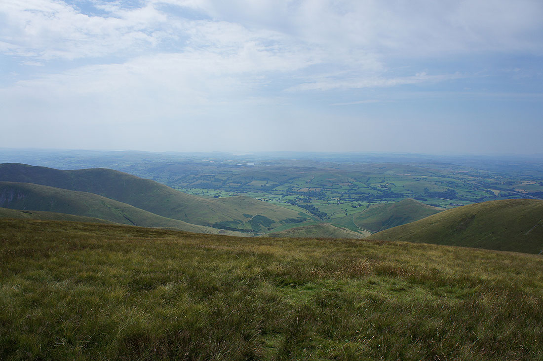
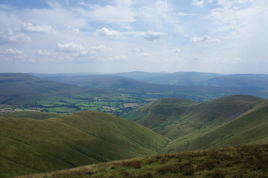
The Rawthey valley below with Great Knoutberry Hill, Aye Gill Pike, Whernside and Great Coum in the background
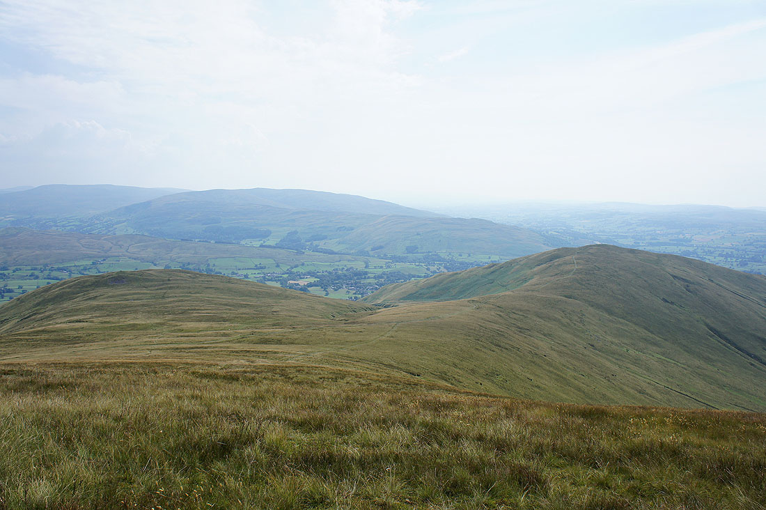
Looking across to Middleton Fell
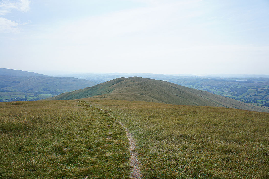
Winder ahead
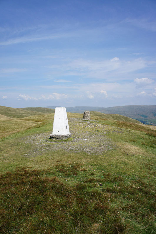
The trig point and toposcope on the summit of Winder
Looking back at Arant Haw
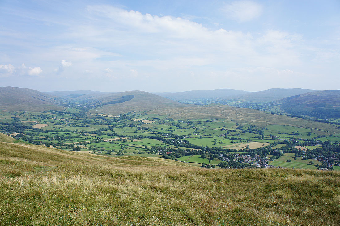
The Rawthey valley, Great Knoutberry Hill, Aye Gill Pike, Whernside and Great Coum
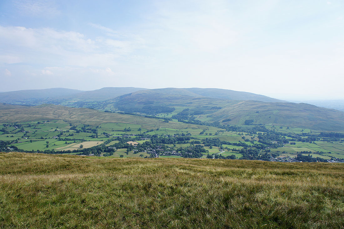
Whernside, Great Coum and Middleton Fell
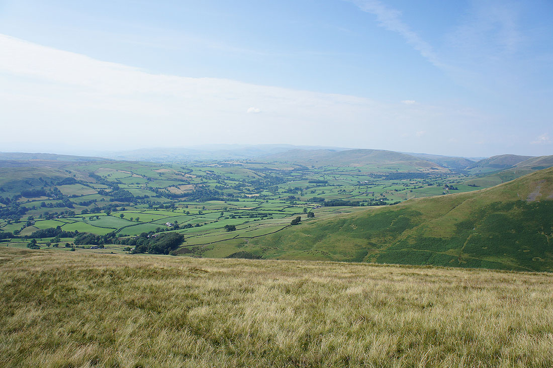
A hazy view across the Lune valley to the far eastern fells of the Lakes
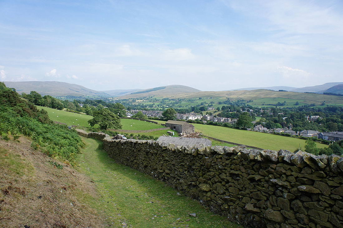
I've made my way down from Winder and after passing through the farmyard of Lockbank a short walk back to Sedbergh remains. (The farm next to Lockbank is selling home made ice-cream, just what I needed at the end of a very warm day)