26th July 2020 - Nab Hill
Walk Details
Distance walked: 9.8 miles
Total ascent: 1566 ft
OS map used: OL21 - South Pennines
Time taken: 5.5 hrs
Route description: Penistone Hill Country Park-Dimples Lane-Hole Farm-Bronte Way-Old Oxenhope Farm-Old Oxenhope Lane-Marsh Lane-Bronte Way-Harry Lane-A6033-Dark Lane-Bentley Hey-Black Moor Road-Leeming-Sykes Lane-Leeming Reservoir-Bronte Way-Hambleton Lane-Nab Hill-Nab Water Lane-Nab Rough-Nab Water Lane-Greenwood's Allotment-Oxenhope Moor-A6033-Stairs Lane-Bodkin Lane-Lee Lane-Westfield Farm-Moor Side Lane-Penistone Hill Country Park
With some very changeable weather forecast for this weekend I picked the best of the two days and planned a walk close to home, which meant driving the short distance across the moors to the Worth Valley for a walk on the Bronte moors. Parking up at Penistone Hill Country Park is something that I've done quite often during the past few years, so working out a route that includes walking along new paths isn't too easy, and this time I don't think I managed it. At least that means I don't have to worry about route finding. There was a mix of cloud and sunshine while I was out, with a couple of brief showers that didn't amount to too much, and it was pretty windy.
From Penistone Hill Country Park I made my way to the eastern end of the hill and onto Dimples Lane, which I walked briefly south along and onto the footpath down to Hole Farm. I then joined the Bronte Way and followed it south to Old Oxenhope Farm, down Old Oxenhope Lane, left along Marsh Lane, and then right, down Bents Lane to and across the Keighley and Worth Valley Railway line and up to the A6033. After crossing the road I walked up Dark Lane, and then up a footpath across the hillside of Bentley Hey to Black Moor Road. I then made my way south along Black Moor Road before taking a footpath on the right down through a disused quarry and across Height Lane to Leeming and Denholme Road, then turned right, walked down Denholme Road and took the footpath down along Sykes Lane on the left. This took me past some cottages and to the footpath down to and past the eastern end of Leeming Reservoir, where I picked up the Bronte Way. I followed the Bronte Way uphill until I reached the track of Hambleton Lane, which took me south until I reached a gate on the right and the footpath west across the northern edge of Nab Hill and down to Nab Water Lane. I briefly walked down the road then took the footpath on the right across Nab Rough and down to Nab Water Lane, which I crossed and took the footpath opposite across Greenwood's Allotment. This soon met a catchwater drain, and I followed the path by this across the moor to the A6033, and carried on following it after crossing the road to reach the track of Stairs Lane. I then walked down Stairs Lane and Bodkin Lane, past Leeshaw Reservoir and onto Lee Lane, where I took the footpath on the left up past Westfield Farm to Haworth Moor. At the top of this path I turned right and followed the track from Drop Farm to Moor Side Lane, where I was left with a short walk back up to Penistone Hill Country Park.
Route map
© Crown copyright. All rights reserved. License number PU 100034184.
The sun breaks through the cloud over the Worth Valley as I leave Penistone Hill Country Park
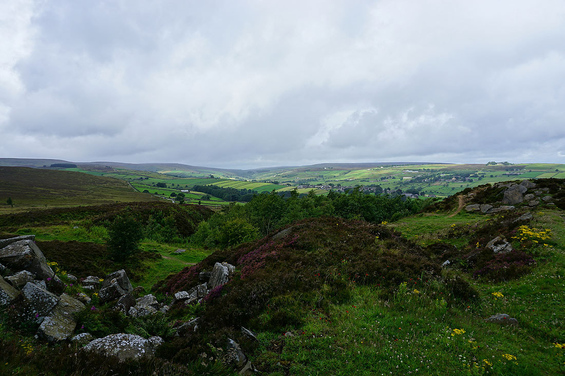
Rain is still falling as I pass Haworth West End Cricket Club
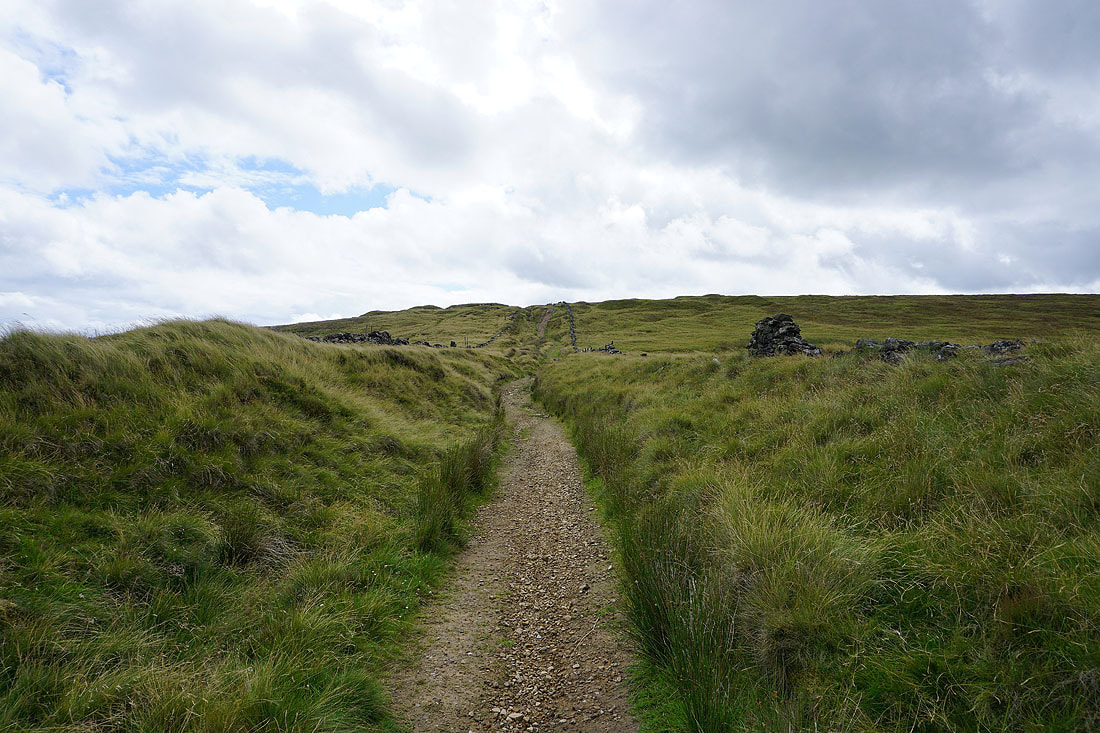
Haworth ahead as I follow the footpath down to Hole Farm
On the Bronte Way to Old Oxenhope Farm
Bright sunshine and dark clouds over Haworth
Heading down Bents Lane to cross the Keighley and Worth Valley Railway
Looking across to Oxenhope Moor
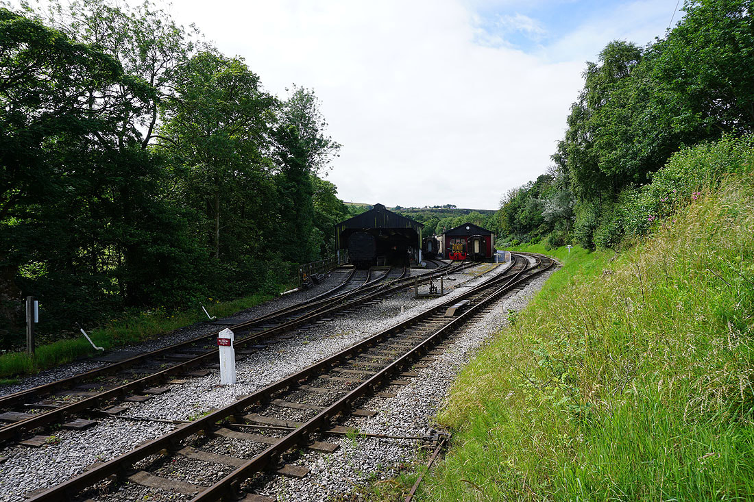
Crossing the Keighley and Worth Valley Railway
Looking back to Oxenhope as I walk up Dark Lane
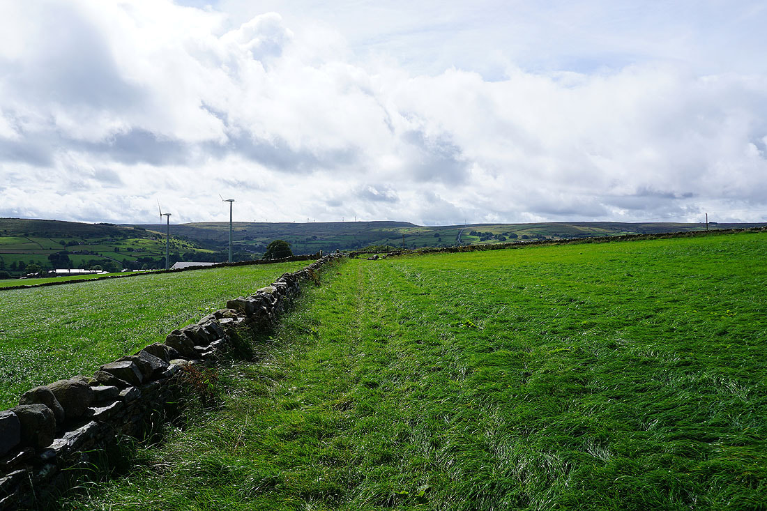
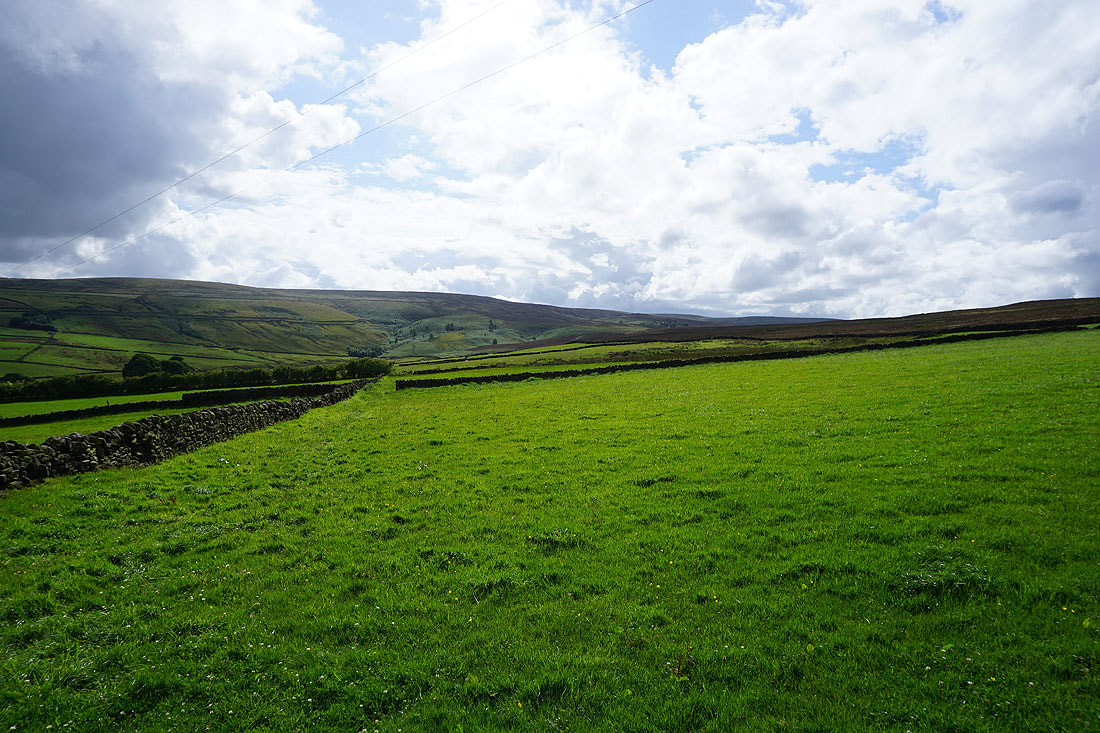
Great views of the moorland around Oxenhope and Haworth from the footpath up Bentley Hey to Black Moor Road..
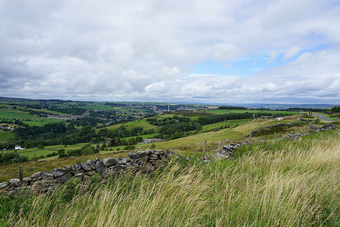
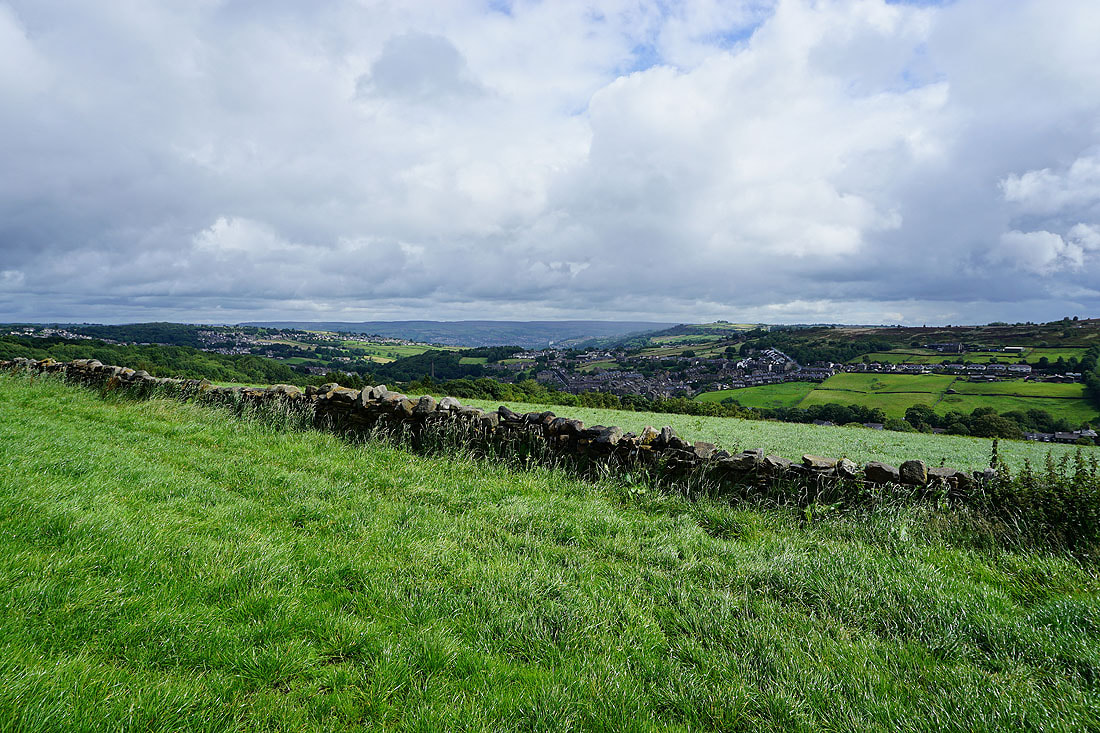
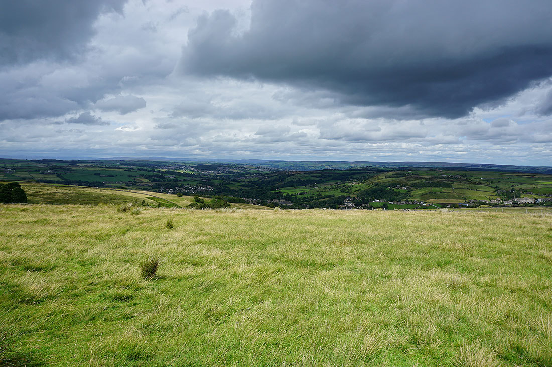
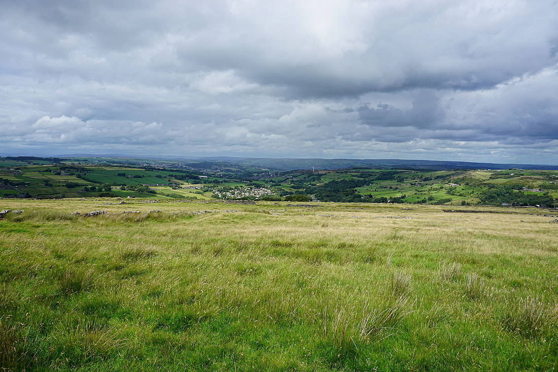
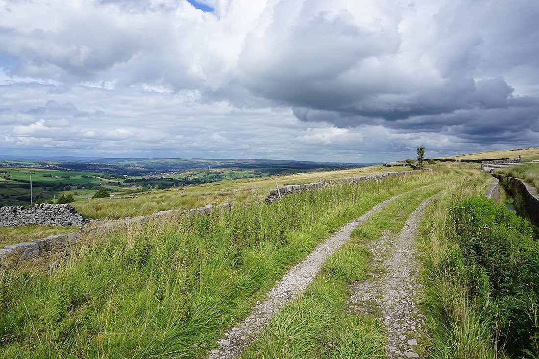
The countryside around Haworth from Black Moor Road
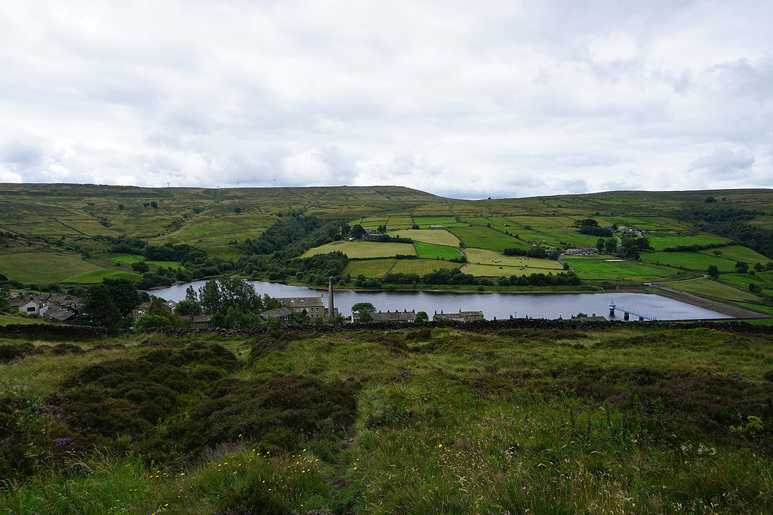
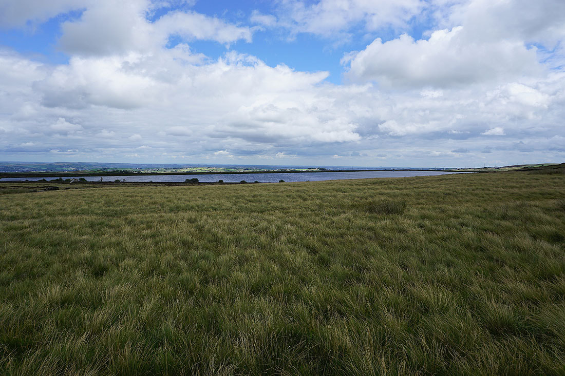
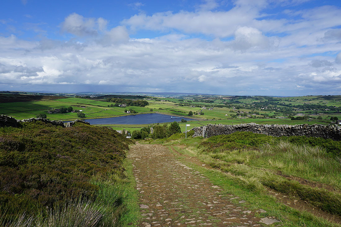
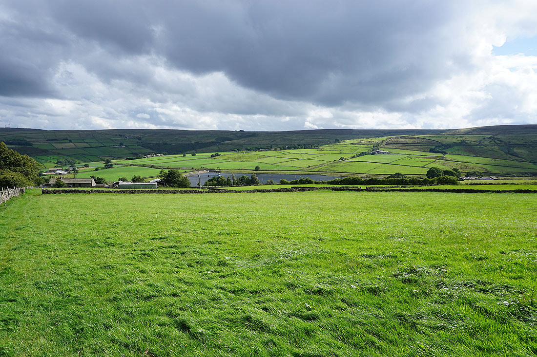
Nab Hill above Leeming Reservoir
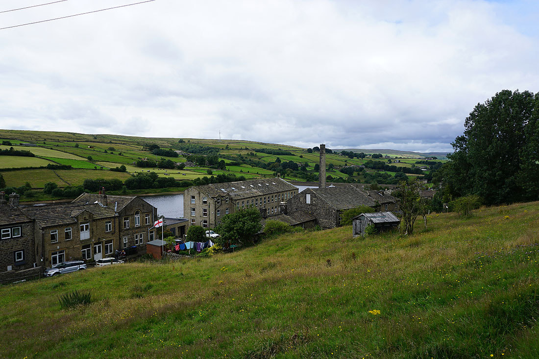
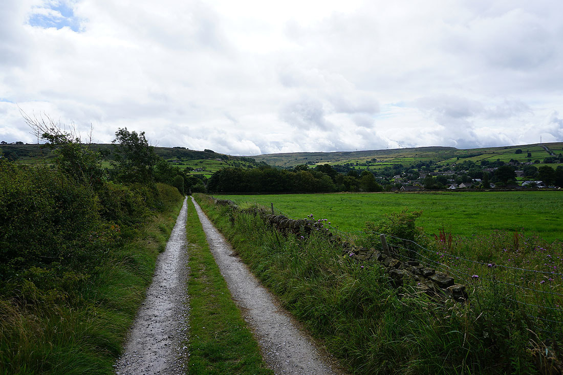
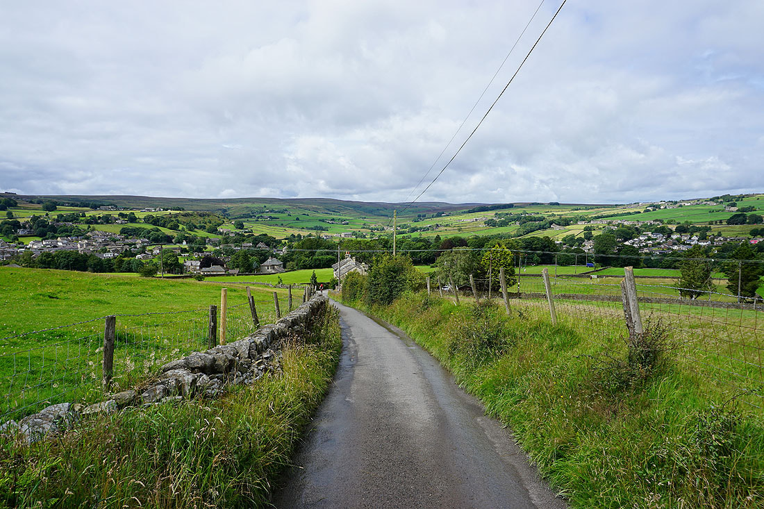
Heading down to Leeming
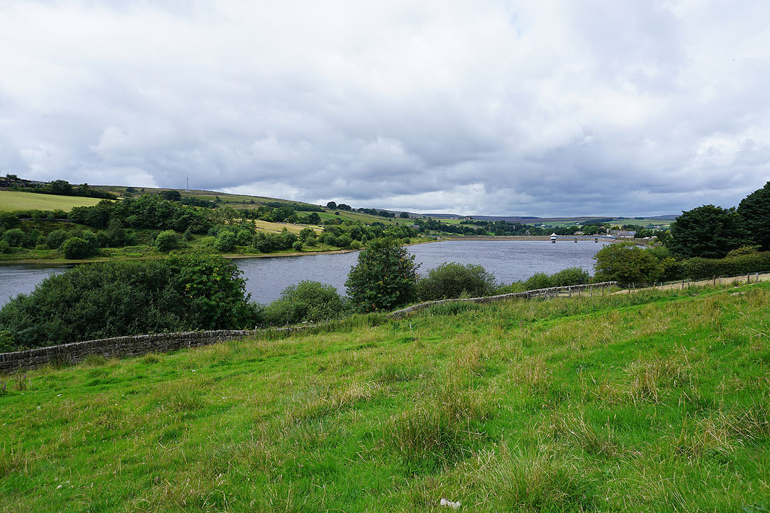
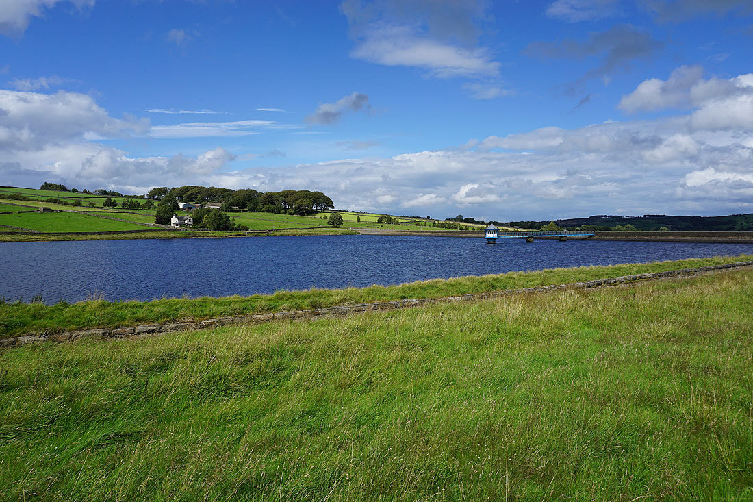
Leeming Reservoir
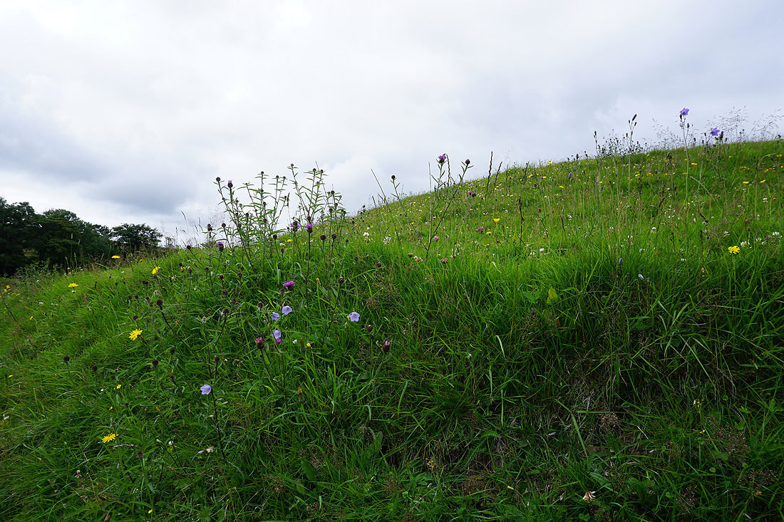
Past a profusion of wildflowers on a grassy bank
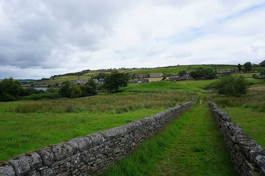
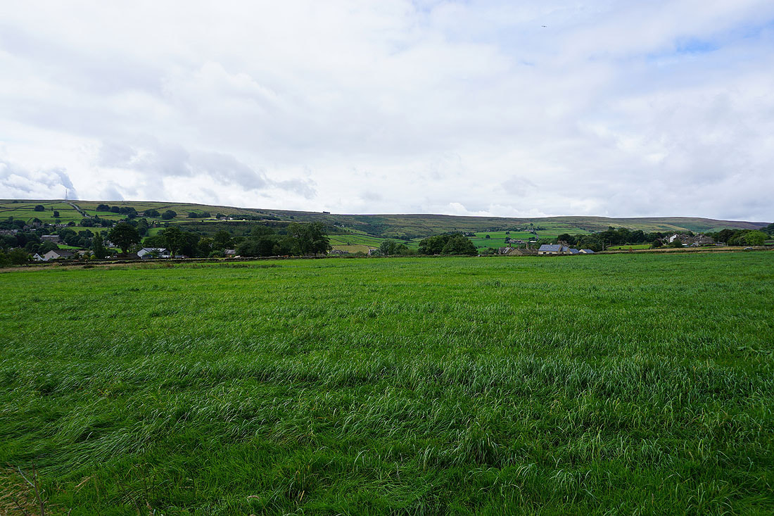
Looking back to Leeming
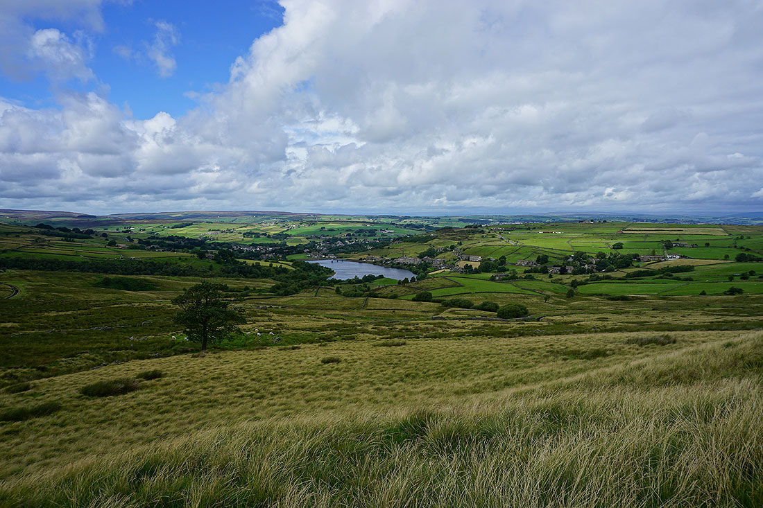
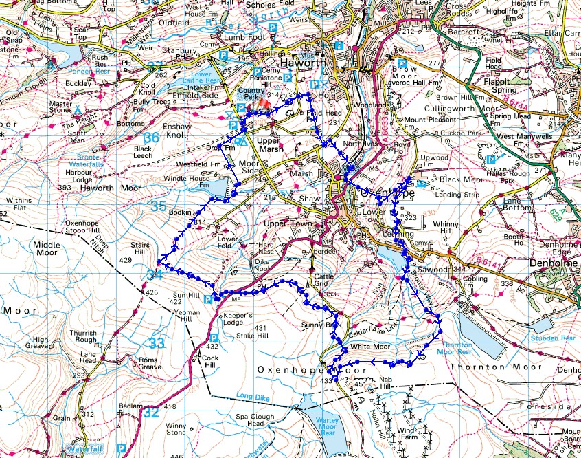
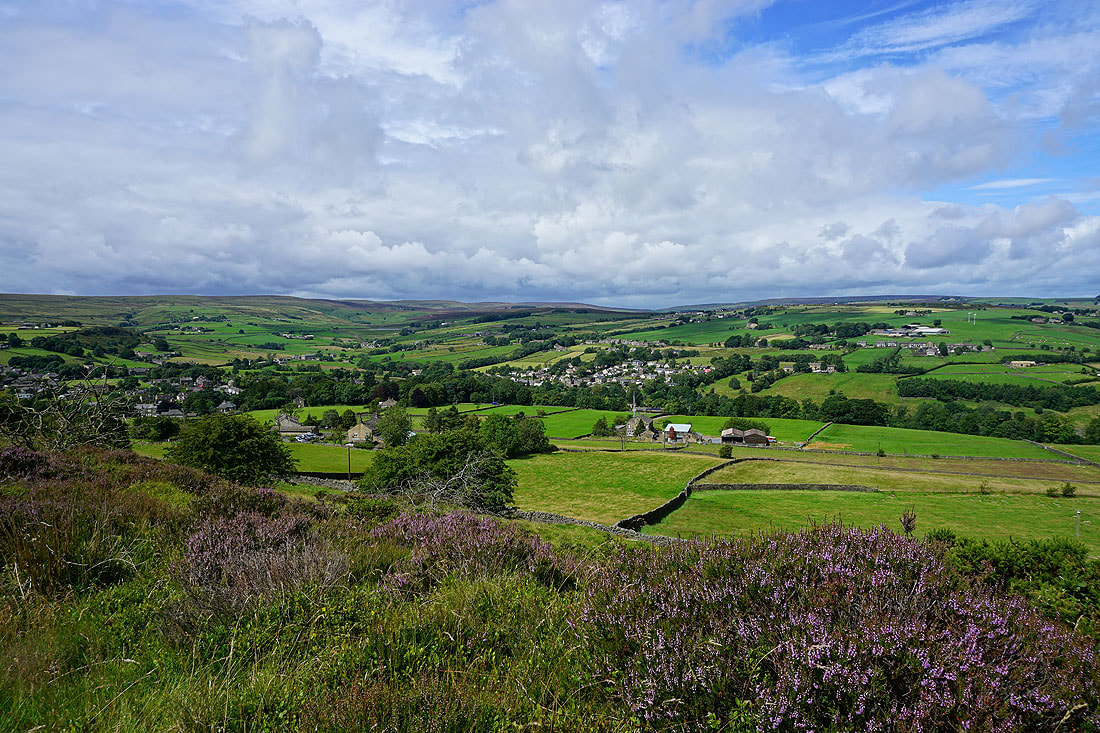
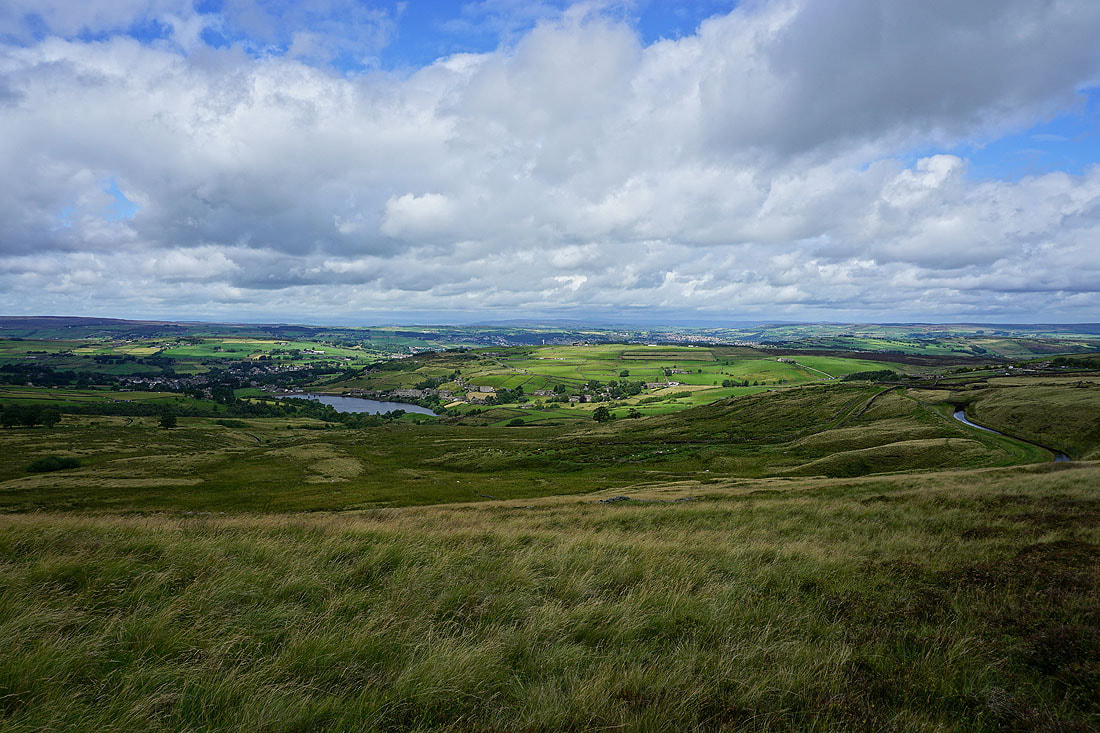
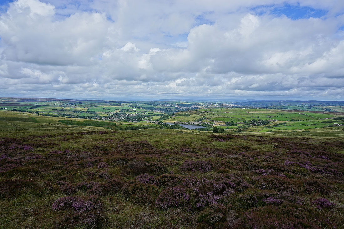
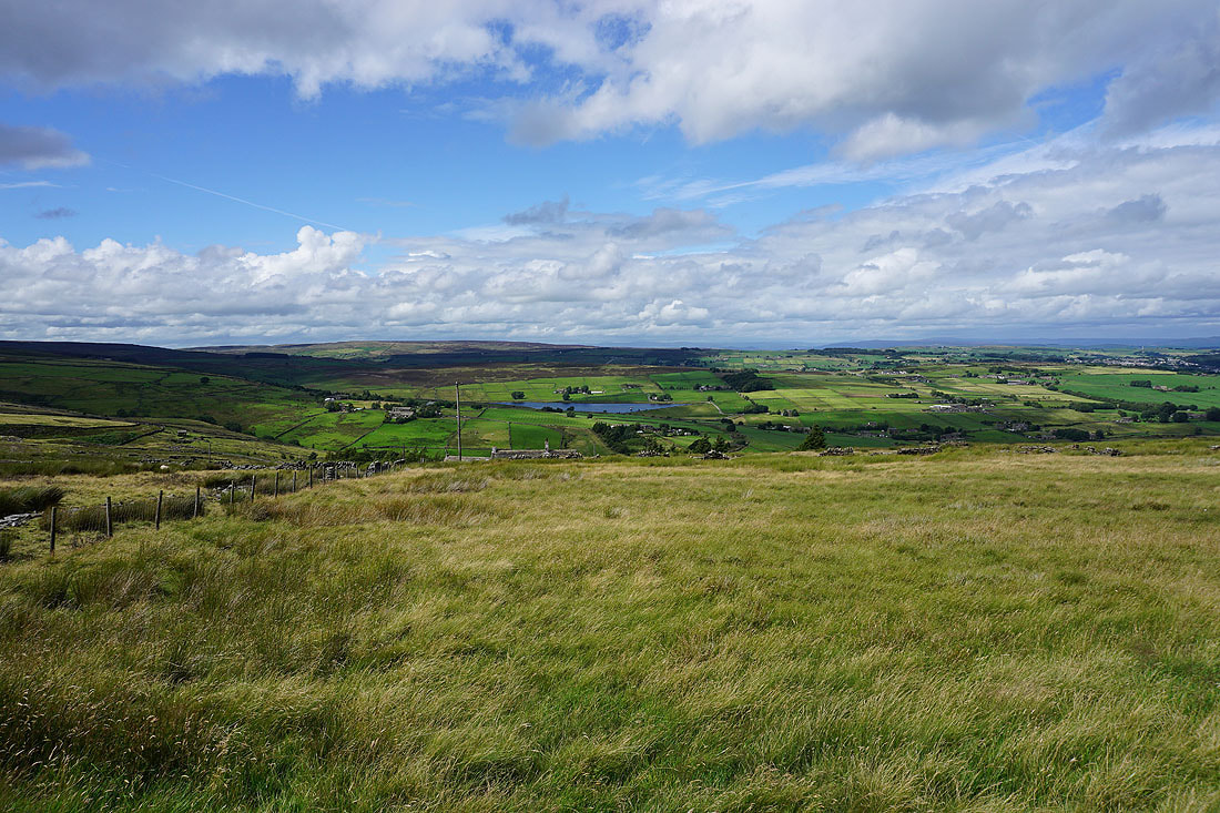
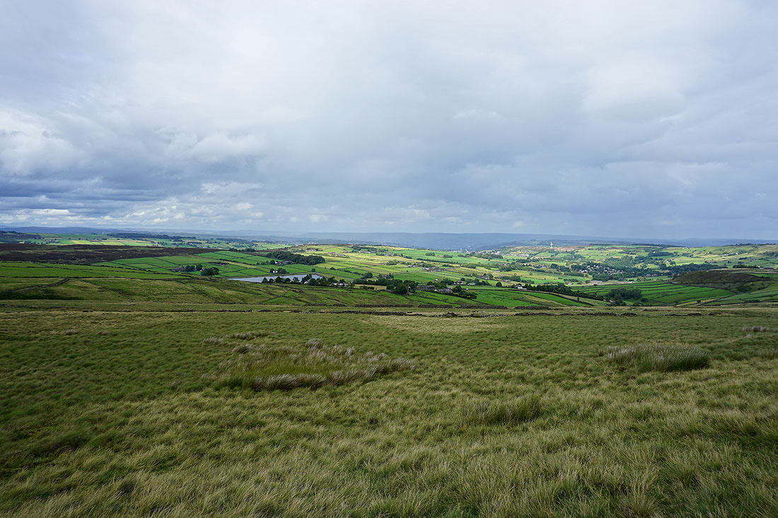
Haworth Moor, Oakworth Moor, Oxenhope, Leeming Reservoir and Black Moor to the north as I follow the Bronte Way up to Hambleton Lane
A big moorland view to the north from Hambleton Lane
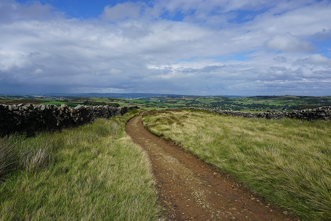
Heading south up Hambleton Lane
Thornton Moor Reservoir
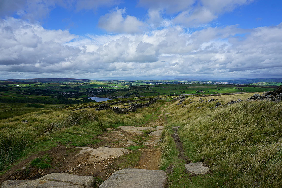
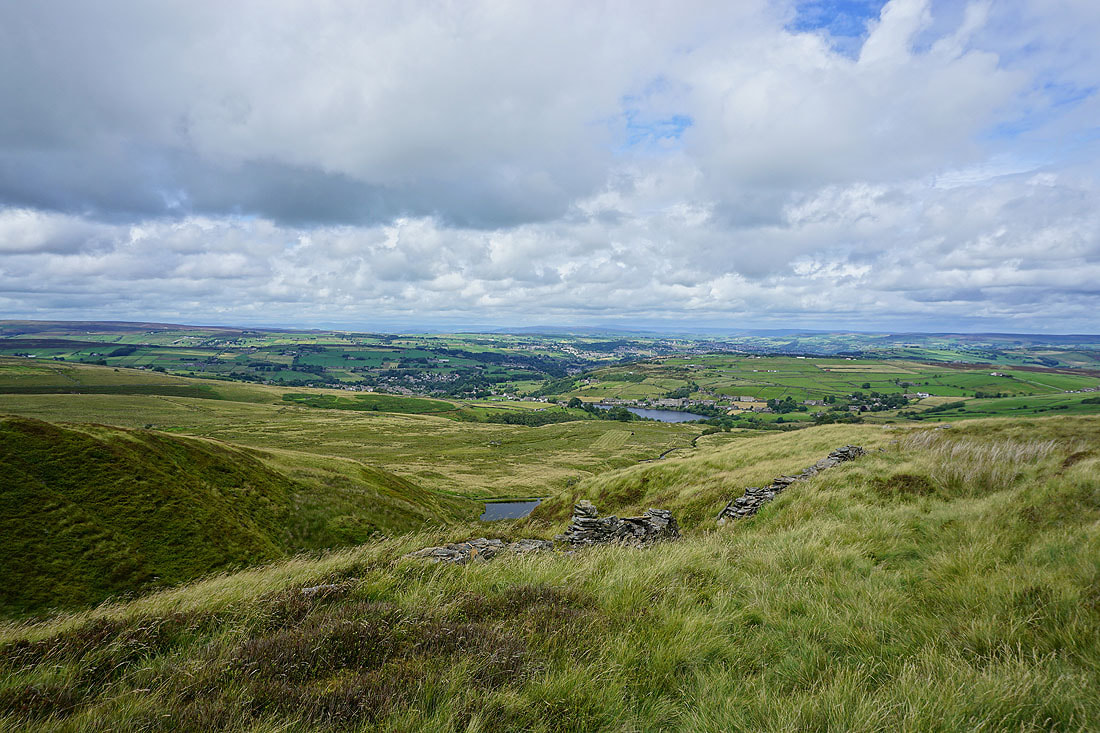
Leeming Reservoir and Black Moor as I take the path west along the northern edge of Nab Hill
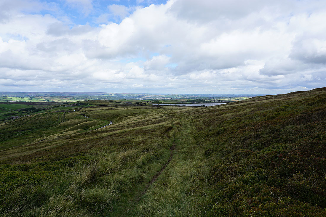
Looking back to Thornton Moor Reservoir
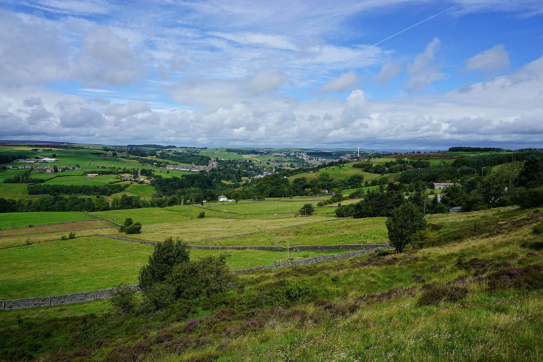
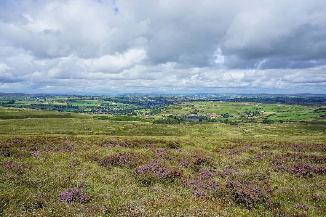
Great views to the north across the moors of Bronte Country to the moorland around Airedale and Wharfedale in the distance, as I follow the path west along the northern edge of Nab Hill....
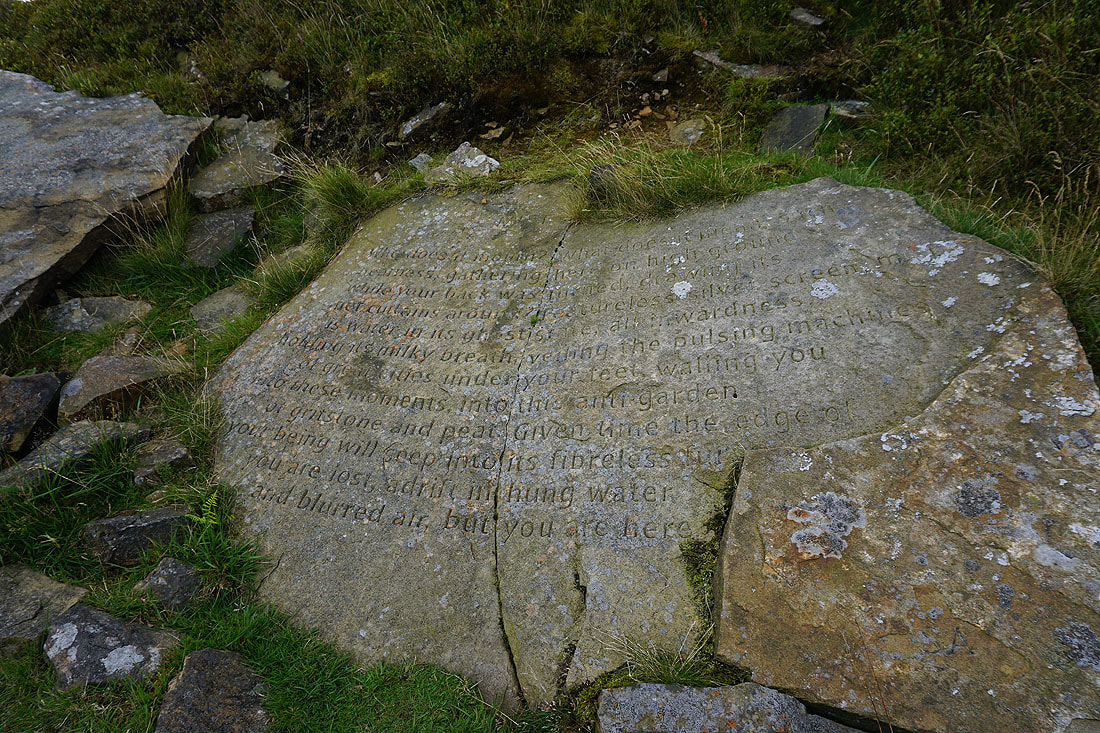
The Stanza Stone of "Mist". It's weathered a bit during the years since I first saw it.
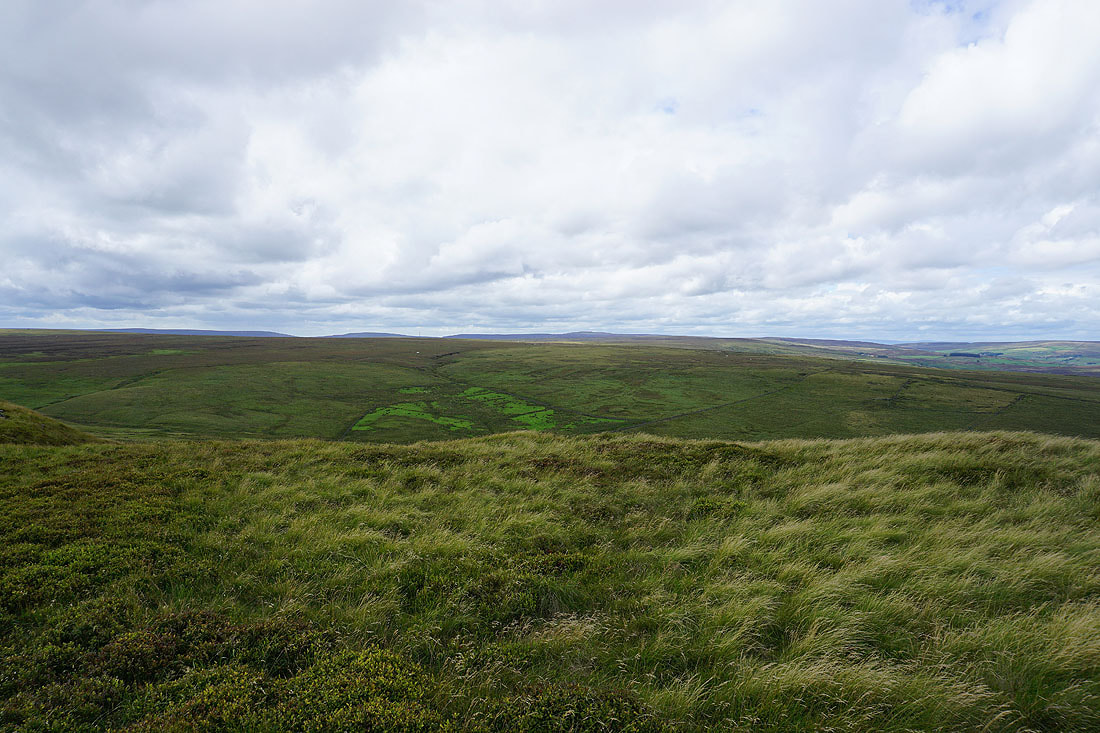
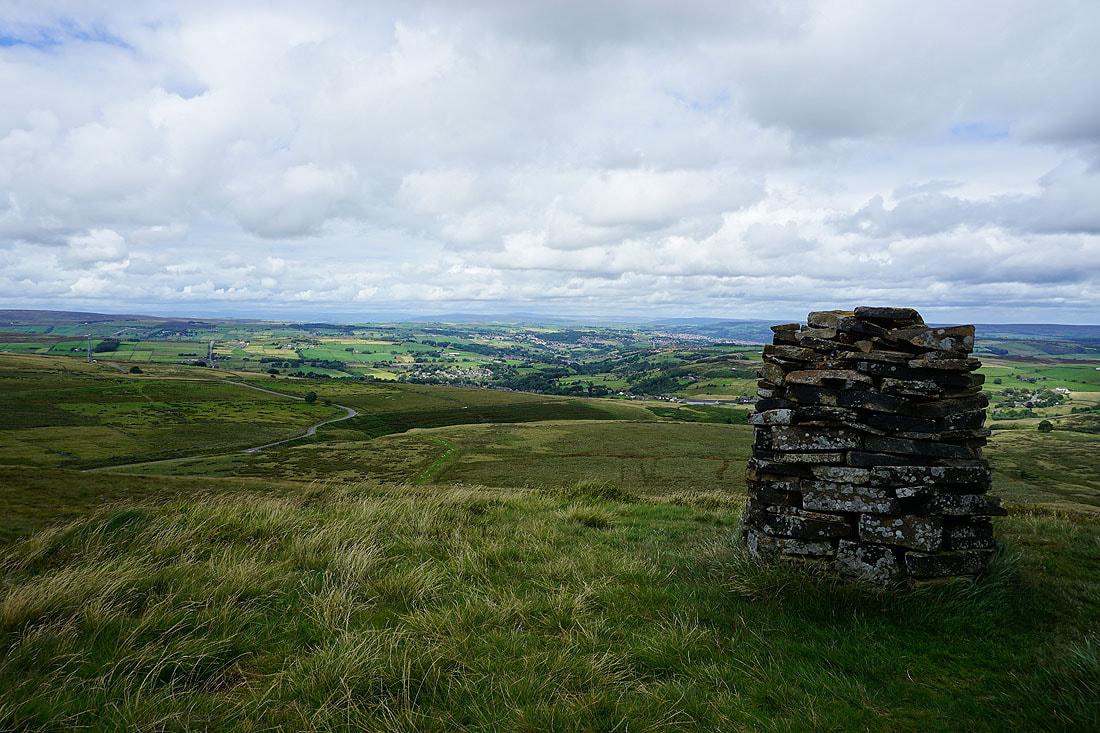
Oxenhope Moor with Boulsworth Hill in the distance
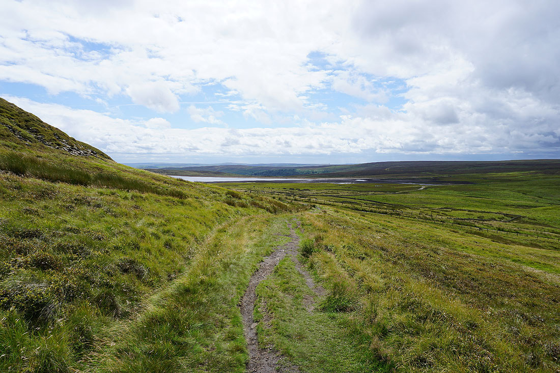
Warley Moor Reservoir as I head down to Nab Water Lane
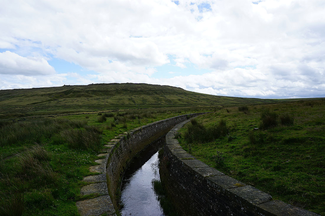
Looking back to Nab Hill as I join a path by a catchwater drain across Oxenhope Moor
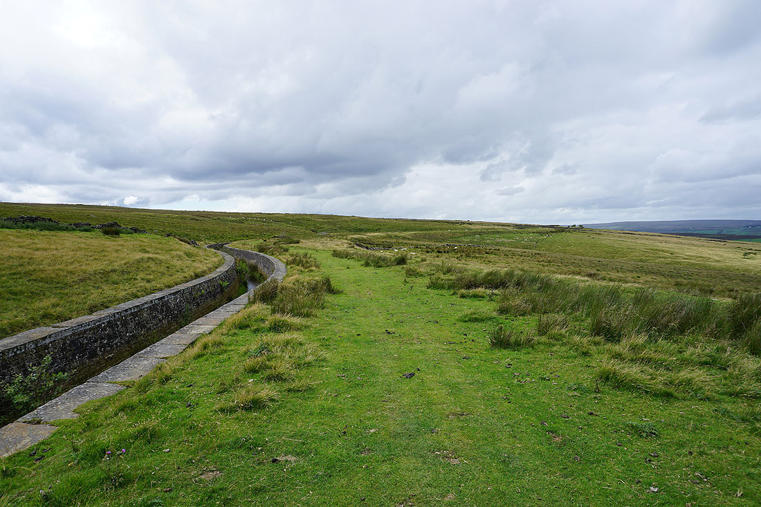
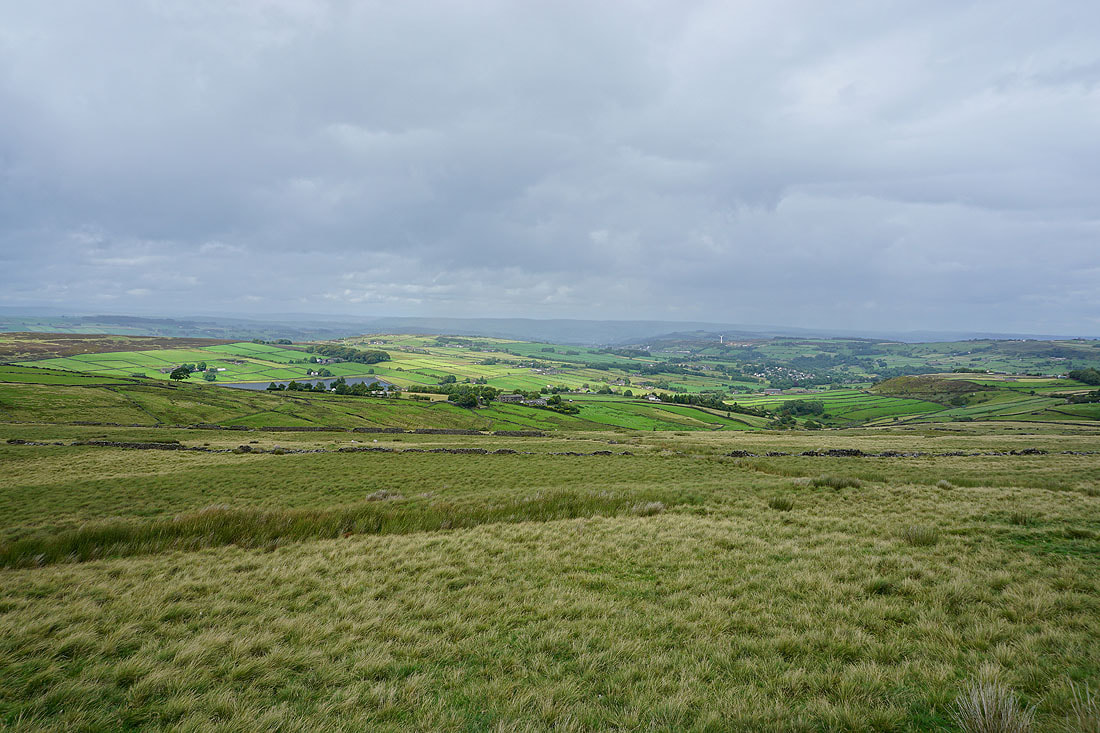
Following the catchwater drain north and west across the moor, with views across the moorland around Oxenhope and Haworth....
Leeshaw Reservoir beneath Haworth Moor from the northern slopes of Oxenhope Moor
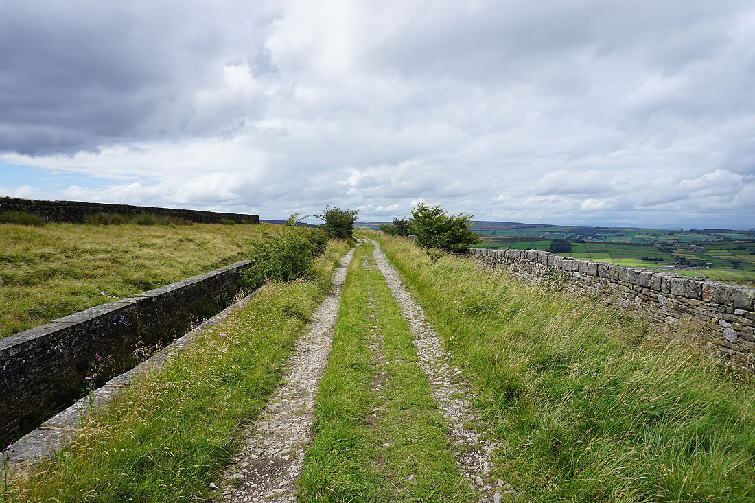
Approaching the A6033 Hebden Bridge Road, which I'll cross, and carry on following the catchwater drain on the other side. I don't like the look of that dark cloud.
Looking back east along the track that I've been following
That dark cloud brought a brief shower, and I hoped that there'd be a rainbow to go along with it. Unfortunately not, but the sunshine and rain does make for a great light..
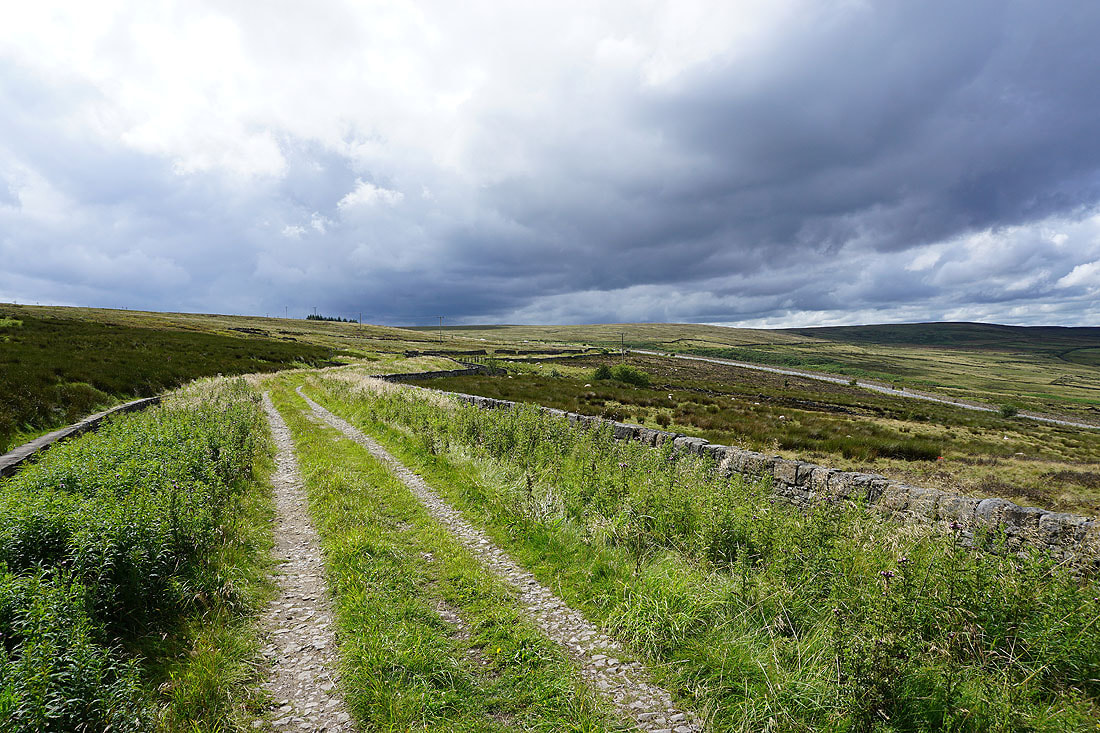
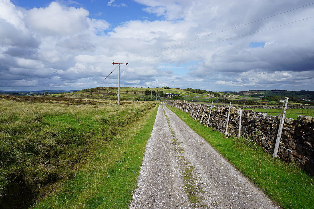
Heading north on the track of Stairs Lane..
..and down Bodkin Lane to Leeshaw Reservoir
Leeshaw Reservoir
Stairs Hill and Oxenhope Stoop Hill from the path up to Haworth Moor
and looking back down to Leeshaw Reservoir beneath Westfield Farm
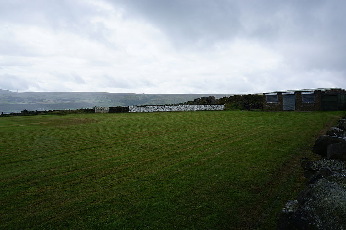
On the track from Haworth Moor back to Penistone Hill Country Park