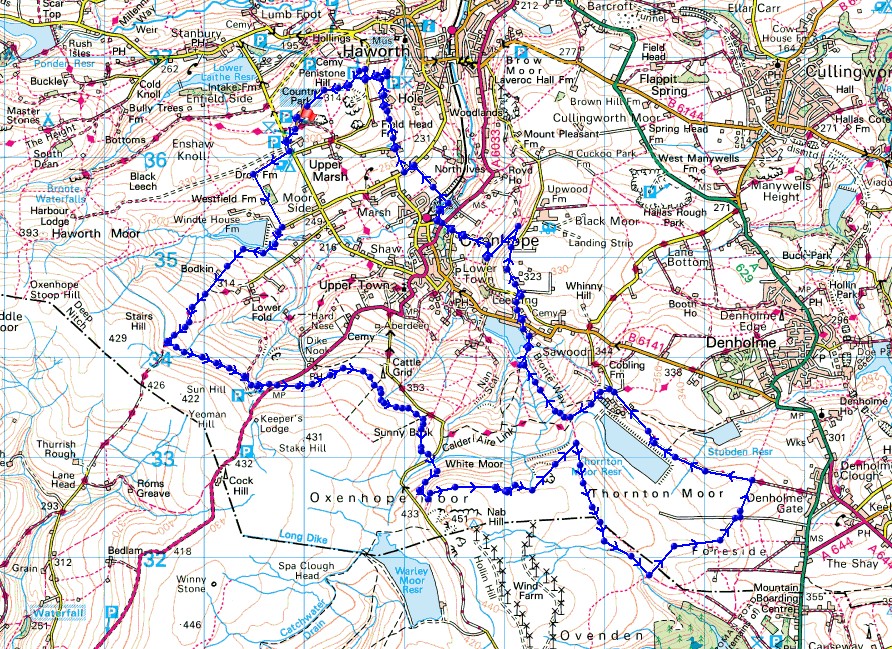
26th June 2021 - Nab Hill
Walk Details
Distance walked: 13.0 miles
Total ascent: 1798 ft
OS map used: OL21 - South Pennines
Time taken: 6 hrs
Route description: Penistone Hill Country Park-Moor Side Lane-Drop Farm-Westfield Farm-Lee Lane-Bodkin Lane-Stairs Lane-Hebden Bridge Road-Nab Water Lane-Nab Hill-Hambleton Lane-Ogden Clough-Foreside Lane-Black Edge Lane-Thornton Moor Road-Bronte Way-Leeming Reservoir-Leeming-Black Moor Road-Bentley Hey-Dark Lane-Keighley Road-Harry Lane-Bronte Way-Marsh Lane-Old Oxenhope Lane-Old Oxenhope Farm-Bronte Way-Dimples Lane-Penistone Hill Country Park
My walk for this weekend is in the South Pennines again, and this time I've made the short drive across to the Worth Valley for a walk on the moorland of Bronte Country. Starting from Penistone Hill Country Park, which is a popular place for me to start from when walking in this area, my route took me along familiar paths and bridleways though never in this particular combination before. After a cloudy and rather grey start, it soon brightened up to a mixture of cloud and sunny spells, and with good visibility there were great views to the north from Nab Hill across the Bronte moors to the distant Yorkshire Dales.
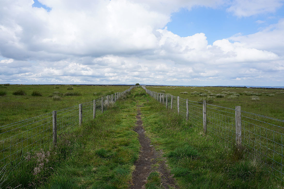
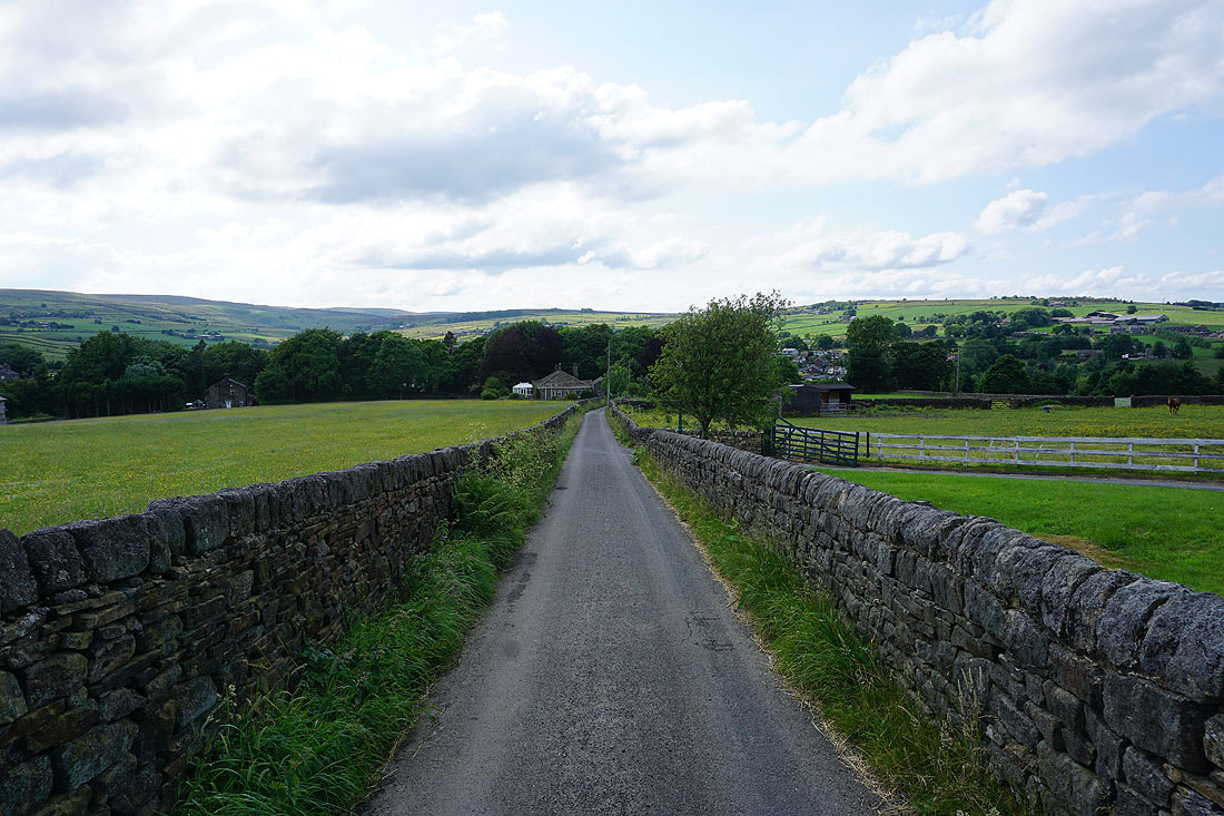
From where I parked at Penistone Hill Country Park I made my way to Moor Side Lane, briefly walked south down the road, and crossed it to take the track to Drop Farm. Once past Drop Farm I took the footpath down past Westfield Farm to Lee Lane, walked down Lee Lane, round Leeshaw Reservoir, and up the track of Bodkin Lane and Stairs Lane. I left Stairs Lane via a gate on the left and a track by a catchwater drain that I followed across the hillside to Hebden Bridge Road, which I crossed, then I continued to follow the track by the drain east and south across the moor to eventually arrive at a public footpath to reach Nab Water Lane. I crossed Nab Water Lane and took the footpath opposite across the hillside and up onto Nab Hill, where I stopped for lunch. After this break I followed the path east along the northern edge of Nab Hill, and down to Hambleton Lane, which I followed south to the top of Ogden Clough. Above a footbridge over Ogden Clough I reached a bridleway on the left, which I took and followed northeast to the track of Foreside Lane, and after walking north and east along Foreside Lane I took a footpath on the left to reach the track of Black Edge Lane to the north. I then made my way northwest along Black Edge Lane and Thornton Moor Road past Thornton Moor Reservoir and onto the track of Sawood Lane, and after a brief walk west along this I took the Bronte Way on the right downhill towards Leeming Reservoir. I left the Bronte Way for a footpath down to the eastern end of Leeming Reservoir and up past cottages to Denholme Road in Leeming, which I crossed onto the track opposite, and followed this uphill past cottages and up to Black Moor Road. I then walked north along Black Moor Road until I reached the hillside of Bentley Hey, where I took a footpath down to Dark Lane, which I walked down to Keighley Road in Oxenhope. After crossing Keighley Road I walked down Harry Lane and onto the Bronte Way, which took me across the Keighley and Worth Valley railway line, up to Bents Lane and Marsh Lane, west along Marsh Lane and then north up Old Oxenhope Lane to Old Oxenhope Farm. I kept on the Bronte Way from here, heading north across fields until I reached the car park above Haworth, where I turned left and walked up a track to Dimples Lane, and once I'd crossed Dimples Lane I had a short across the top of Penistone Hill back to where I'd parked my car.
Total ascent: 1798 ft
OS map used: OL21 - South Pennines
Time taken: 6 hrs
Route description: Penistone Hill Country Park-Moor Side Lane-Drop Farm-Westfield Farm-Lee Lane-Bodkin Lane-Stairs Lane-Hebden Bridge Road-Nab Water Lane-Nab Hill-Hambleton Lane-Ogden Clough-Foreside Lane-Black Edge Lane-Thornton Moor Road-Bronte Way-Leeming Reservoir-Leeming-Black Moor Road-Bentley Hey-Dark Lane-Keighley Road-Harry Lane-Bronte Way-Marsh Lane-Old Oxenhope Lane-Old Oxenhope Farm-Bronte Way-Dimples Lane-Penistone Hill Country Park
My walk for this weekend is in the South Pennines again, and this time I've made the short drive across to the Worth Valley for a walk on the moorland of Bronte Country. Starting from Penistone Hill Country Park, which is a popular place for me to start from when walking in this area, my route took me along familiar paths and bridleways though never in this particular combination before. After a cloudy and rather grey start, it soon brightened up to a mixture of cloud and sunny spells, and with good visibility there were great views to the north from Nab Hill across the Bronte moors to the distant Yorkshire Dales.
From where I parked at Penistone Hill Country Park I made my way to Moor Side Lane, briefly walked south down the road, and crossed it to take the track to Drop Farm. Once past Drop Farm I took the footpath down past Westfield Farm to Lee Lane, walked down Lee Lane, round Leeshaw Reservoir, and up the track of Bodkin Lane and Stairs Lane. I left Stairs Lane via a gate on the left and a track by a catchwater drain that I followed across the hillside to Hebden Bridge Road, which I crossed, then I continued to follow the track by the drain east and south across the moor to eventually arrive at a public footpath to reach Nab Water Lane. I crossed Nab Water Lane and took the footpath opposite across the hillside and up onto Nab Hill, where I stopped for lunch. After this break I followed the path east along the northern edge of Nab Hill, and down to Hambleton Lane, which I followed south to the top of Ogden Clough. Above a footbridge over Ogden Clough I reached a bridleway on the left, which I took and followed northeast to the track of Foreside Lane, and after walking north and east along Foreside Lane I took a footpath on the left to reach the track of Black Edge Lane to the north. I then made my way northwest along Black Edge Lane and Thornton Moor Road past Thornton Moor Reservoir and onto the track of Sawood Lane, and after a brief walk west along this I took the Bronte Way on the right downhill towards Leeming Reservoir. I left the Bronte Way for a footpath down to the eastern end of Leeming Reservoir and up past cottages to Denholme Road in Leeming, which I crossed onto the track opposite, and followed this uphill past cottages and up to Black Moor Road. I then walked north along Black Moor Road until I reached the hillside of Bentley Hey, where I took a footpath down to Dark Lane, which I walked down to Keighley Road in Oxenhope. After crossing Keighley Road I walked down Harry Lane and onto the Bronte Way, which took me across the Keighley and Worth Valley railway line, up to Bents Lane and Marsh Lane, west along Marsh Lane and then north up Old Oxenhope Lane to Old Oxenhope Farm. I kept on the Bronte Way from here, heading north across fields until I reached the car park above Haworth, where I turned left and walked up a track to Dimples Lane, and once I'd crossed Dimples Lane I had a short across the top of Penistone Hill back to where I'd parked my car.
Route map
© Crown copyright. All rights reserved. License number PU 100034184.
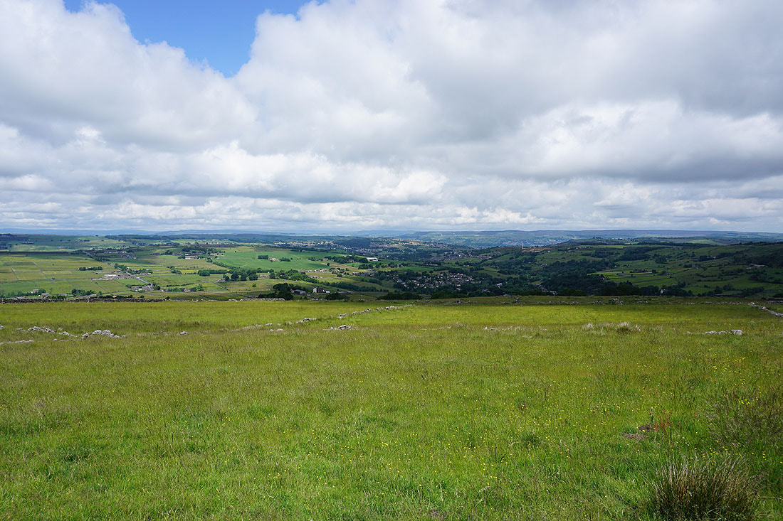
Looking across the Worth Valley and to Stanbury from Penistone Hill
Nab Hill in the distance as I walk along the track to Drop Farm
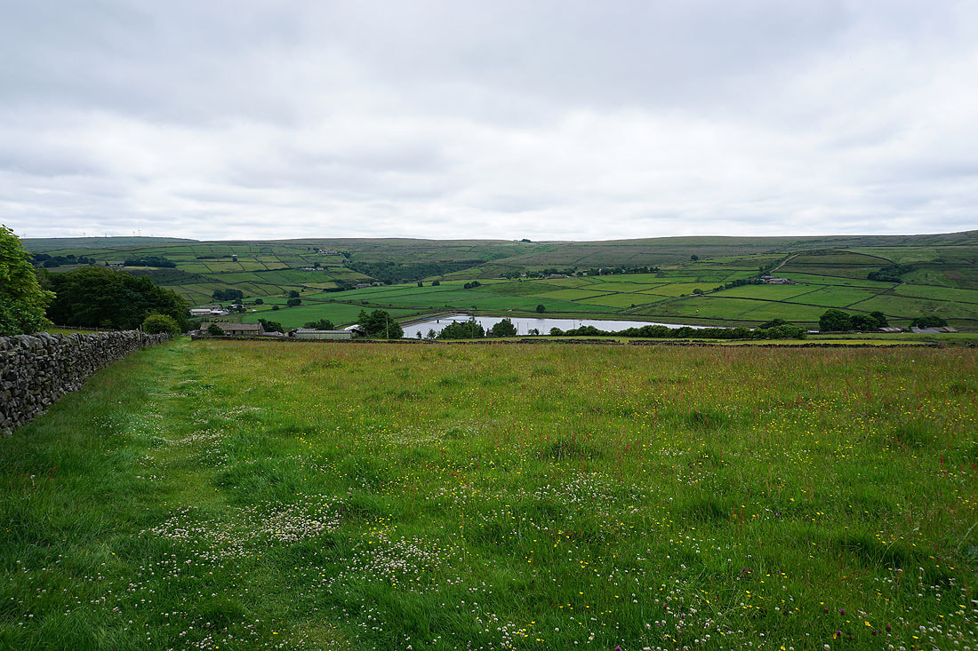
Leeshaw Reservoir below from the path down to Westfield Farm
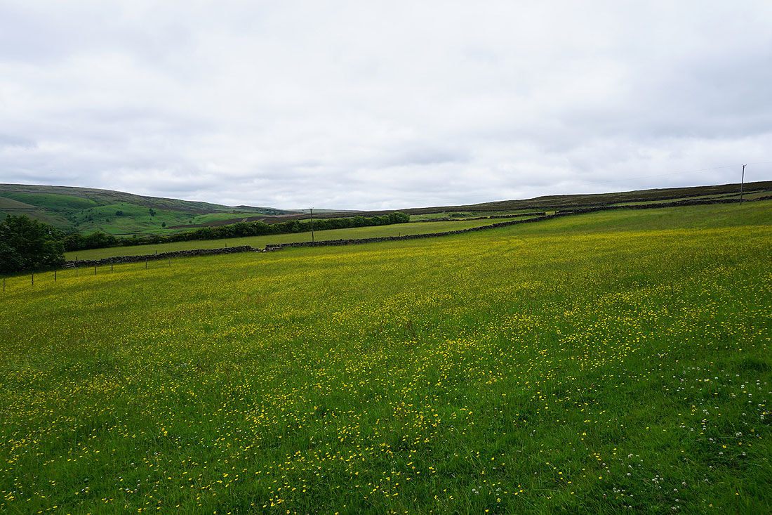
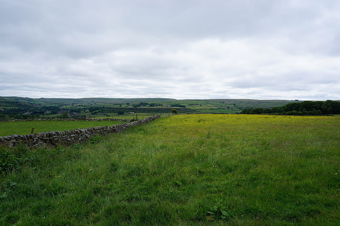
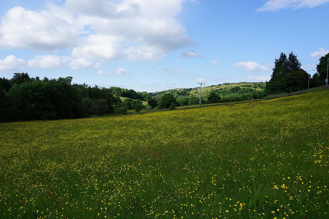
Buttercup filled fields
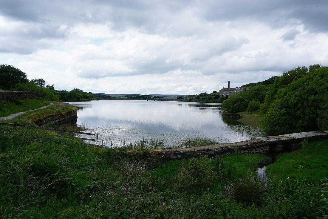
By Leeshaw Reservoir
Looking back as I head up Bodkin Lane to Leeshaw Reservoir and the countryside around Oxenhope
Heading up Bodkin Lane
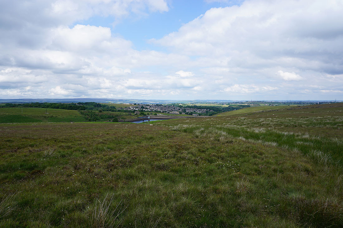
Higher up and I get a more extensive view of Bronte Country
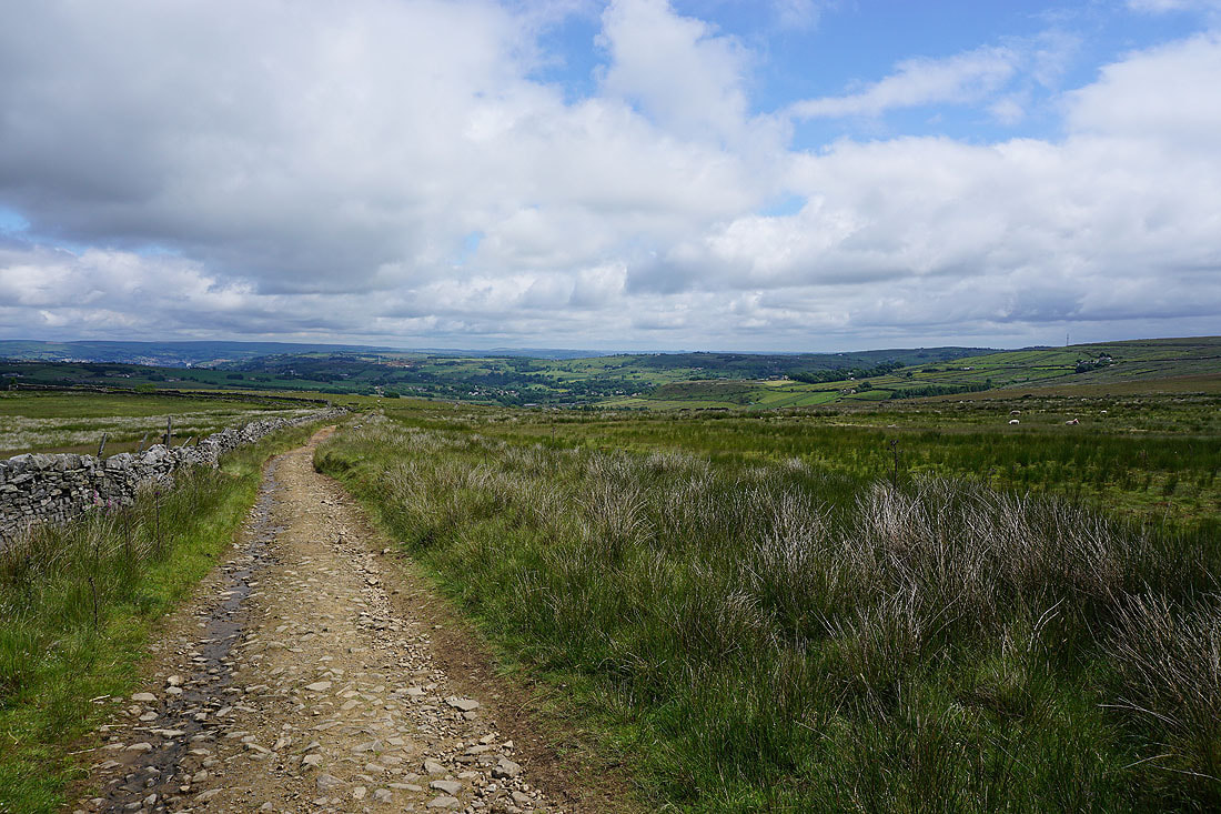
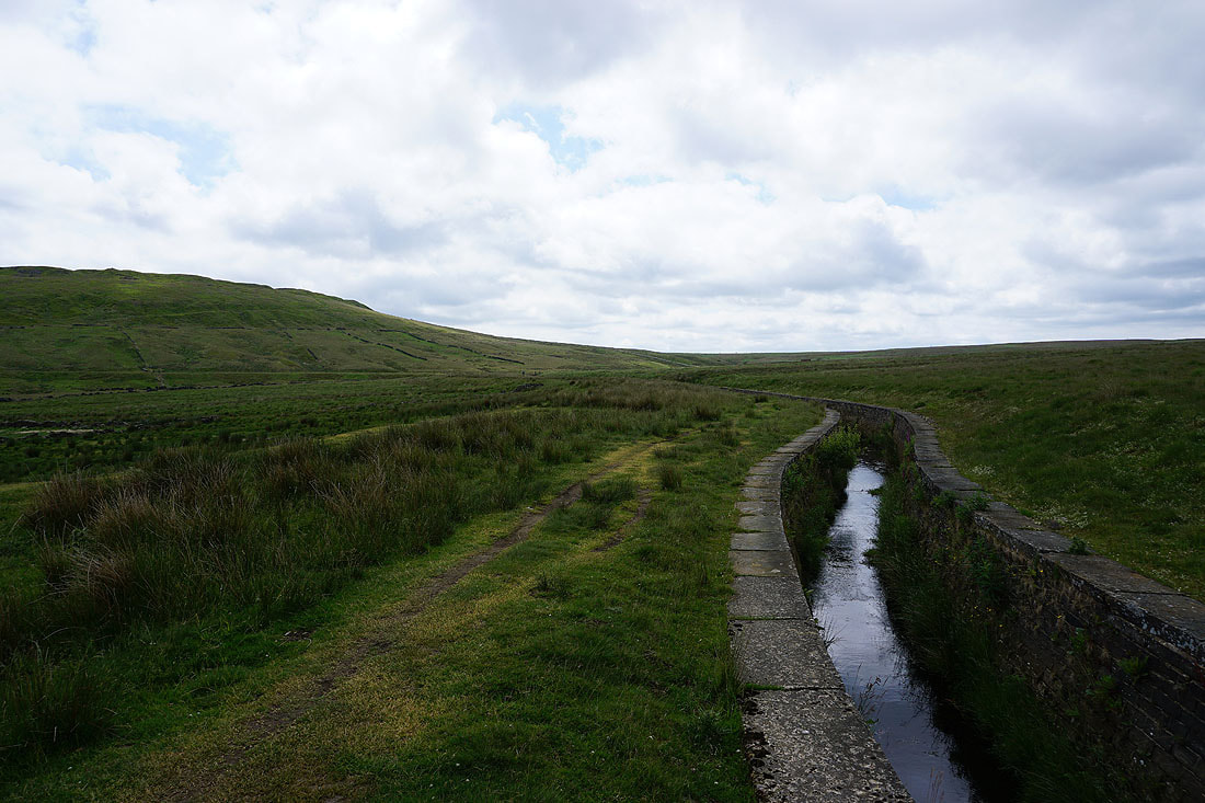
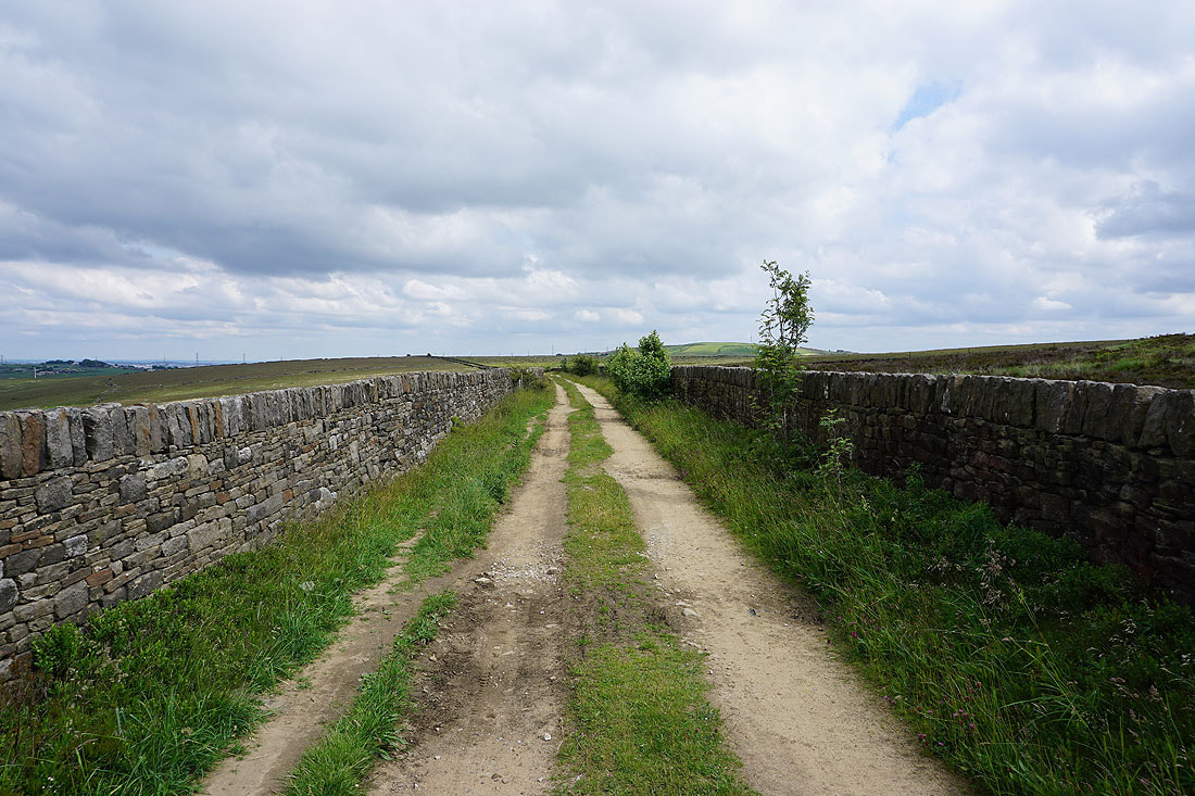
I leave Bodkin Lane and take a track by a catchwater drain across the hillside to the Hebden Bridge Road
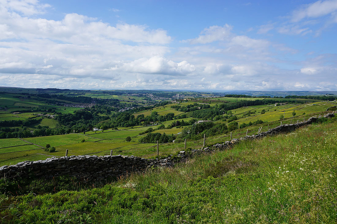
Great views to the north and east across the countryside around Haworth and Oxenhope...
Having crossed the Hebden Bridge Road I'm on another track by a catchwater drain, which will take me to a footpath to Nab Water Lane
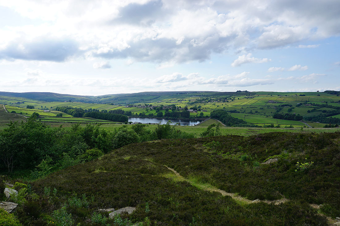
Looking north to Haworth Moor, Leeshaw Reservoir and Penistone Hill
and back to Oxenhope Stoop Hill and Haworth Moor
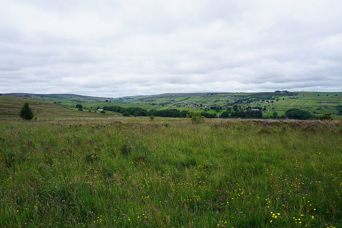
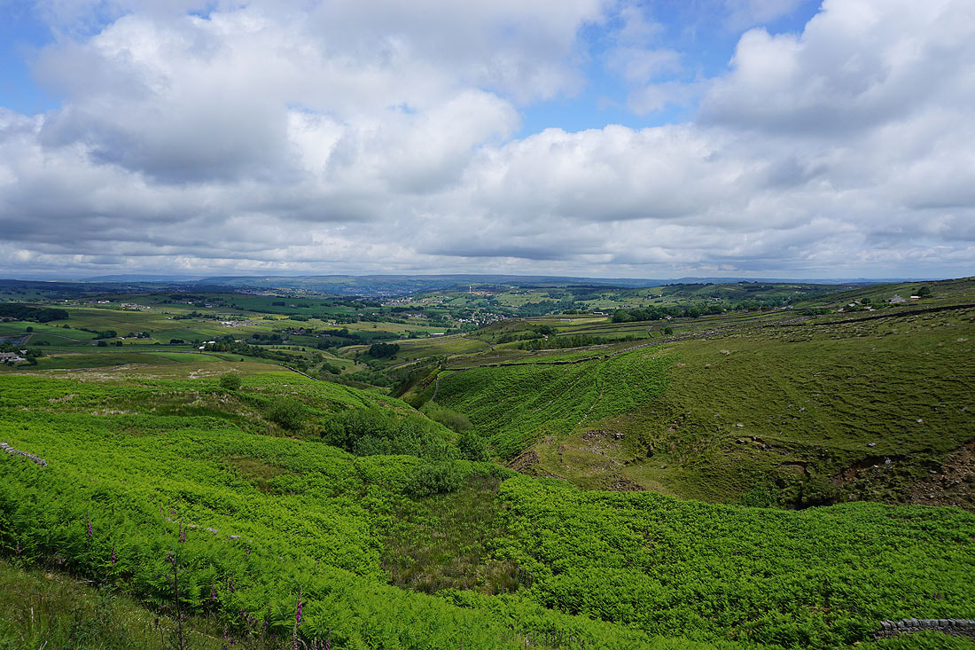
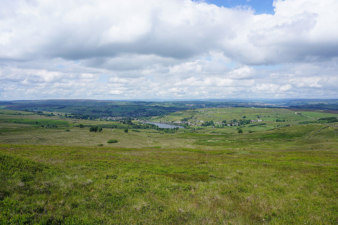
A view across the countryside around Oxenhope and Haworth to the moors around Airedale in the distance
Nab Hill on the left as I approach Nab Water Lane
Looking back to the moorland of Bronte Country as I head up onto Nab Hill
A bit of Warley Moor Reservoir in view
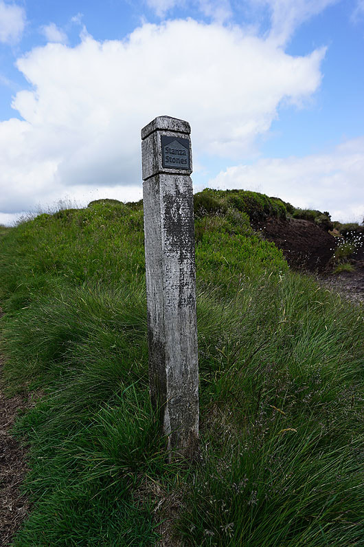
This way to the Stanza Stone
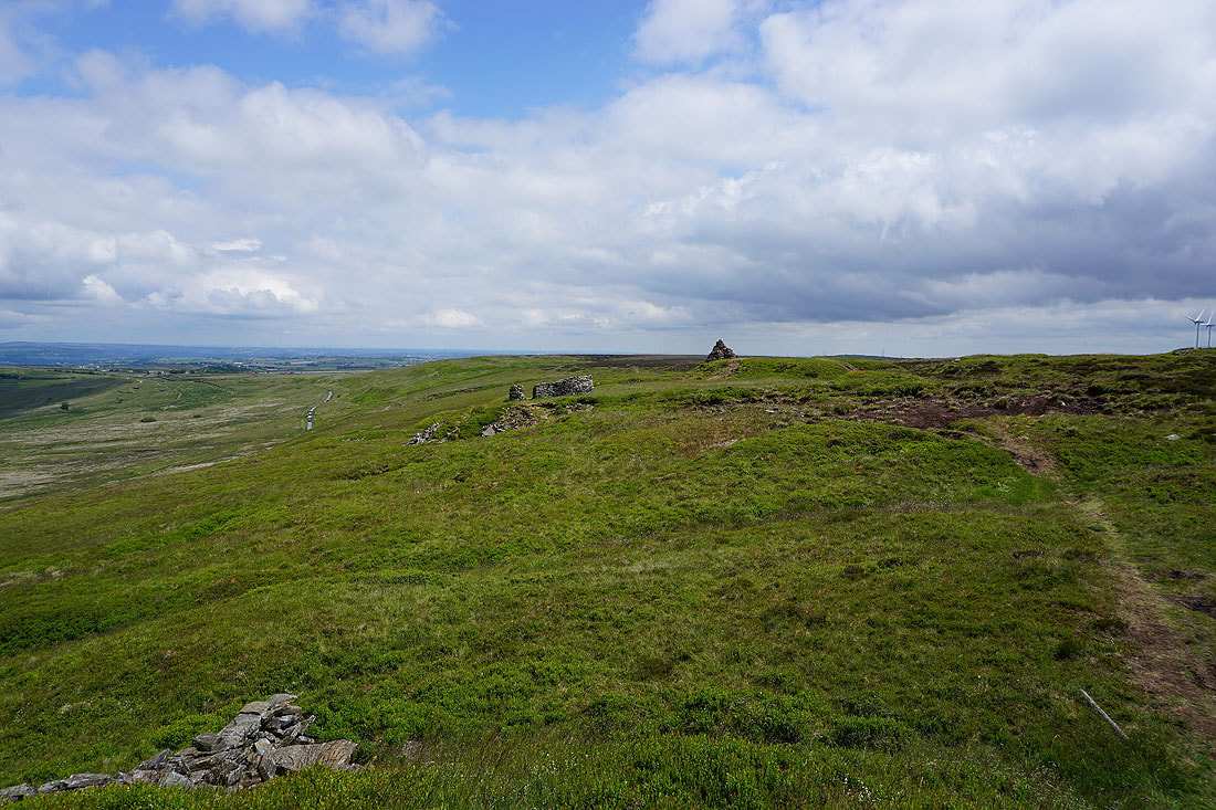
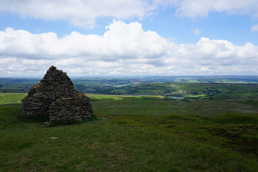
On the northern edge of Nab Hill, which has a number of cairns and shelters. The Stanza Stone is below the one in the middle of the photo.
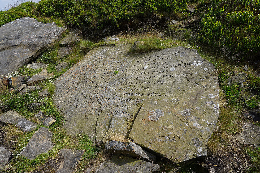
The Stanza Stone of "Mist"
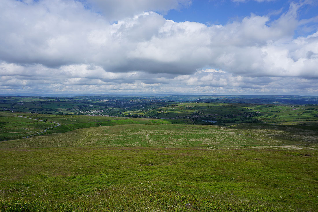
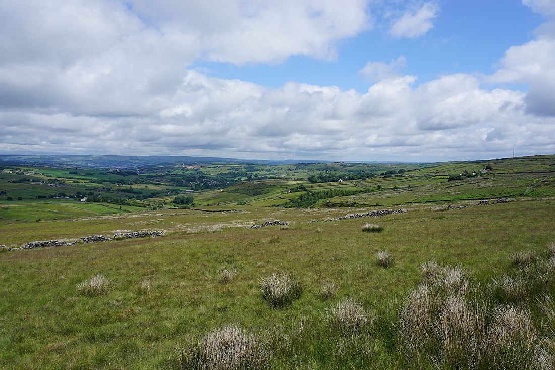
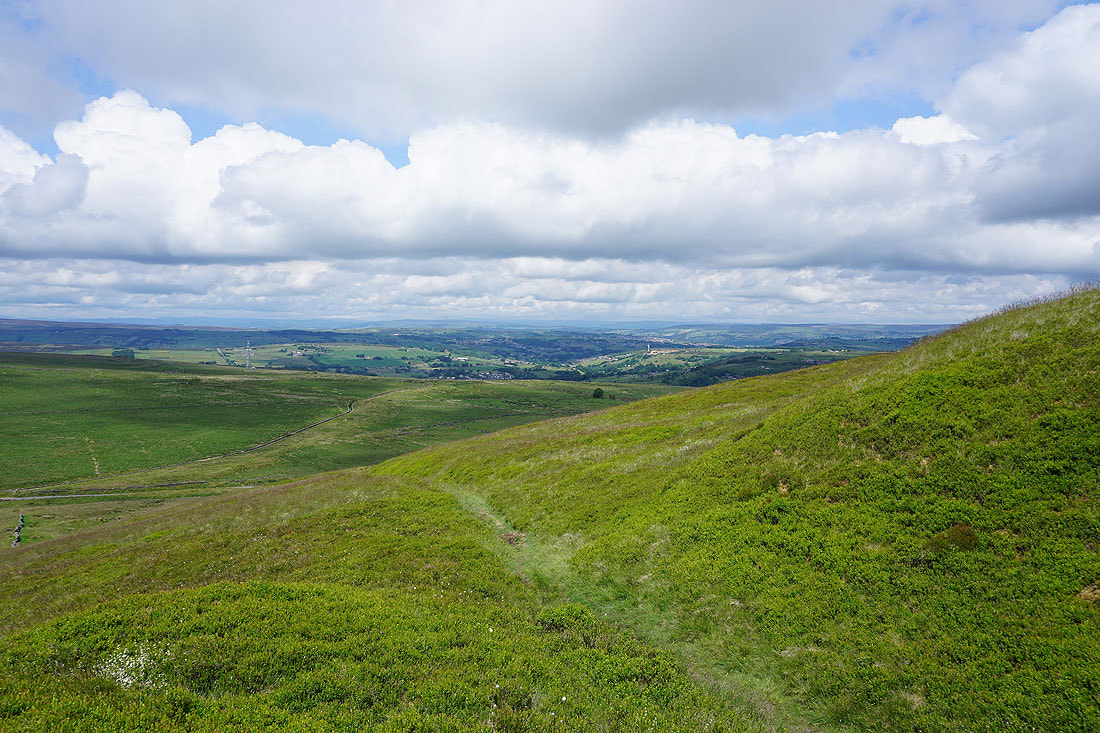
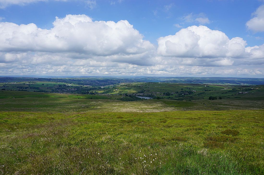
On a fine day like this there's a great view to the north and northeast across Bronte Country to the moorland around Airedale, and that around Wharfedale in the distance..
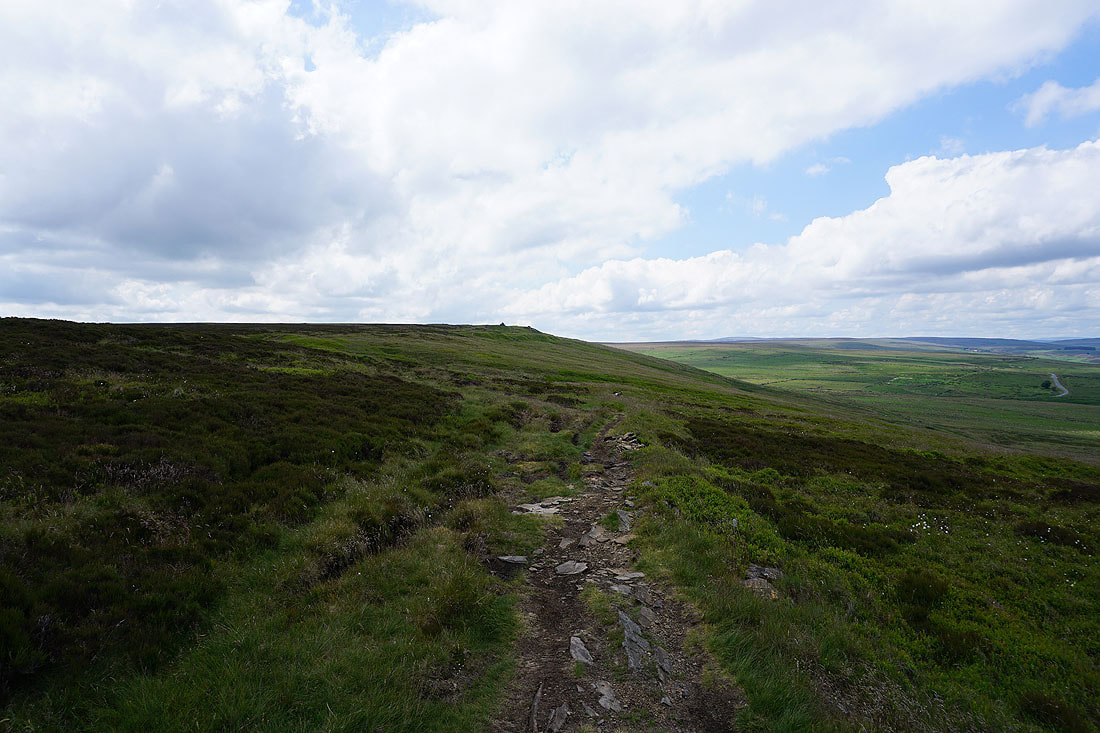
A couple more photos of the view to the north as I head east along the edge of the hill..
Looking back along the northern edge of Nab Hill
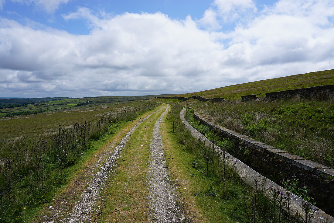
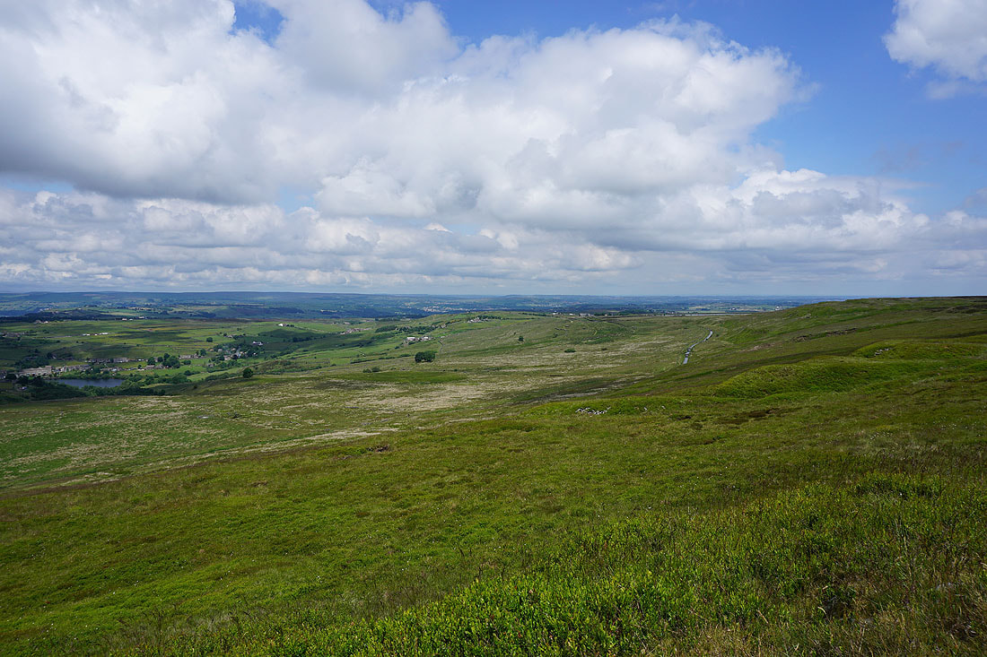
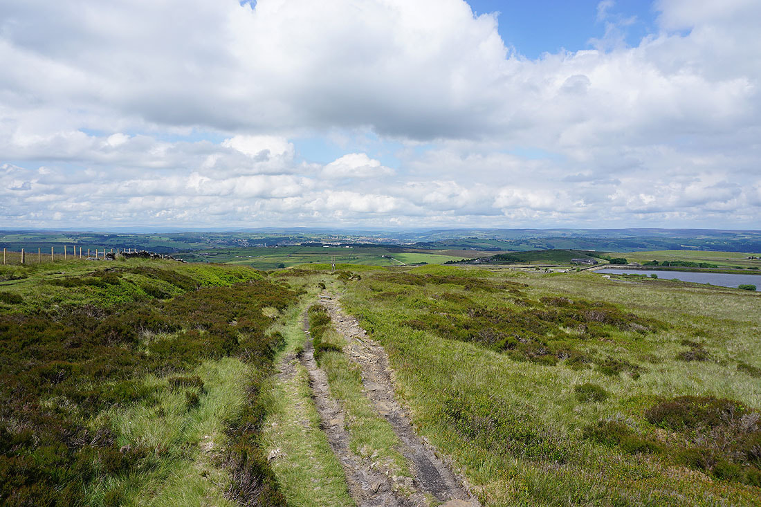
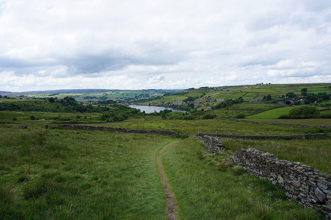
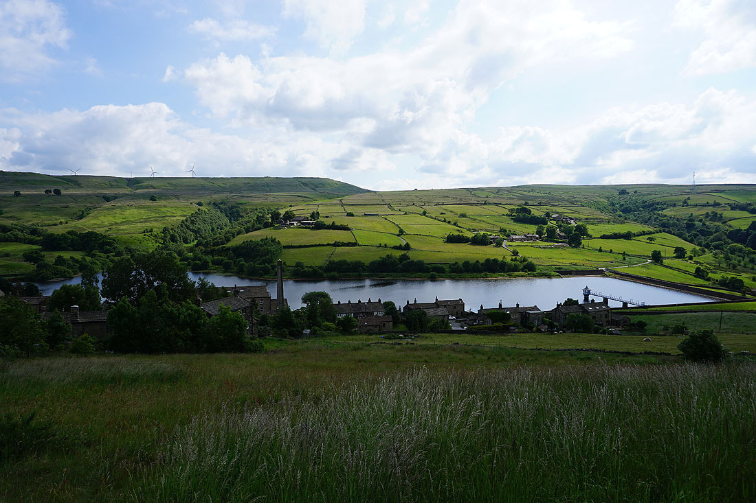
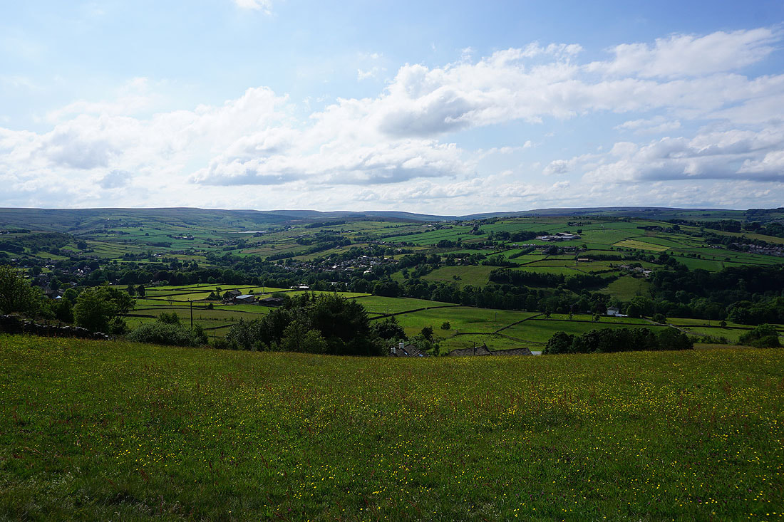
Oxenhope, Leeming Reservoir and Black Moor from the northern end of Hambleton Lane
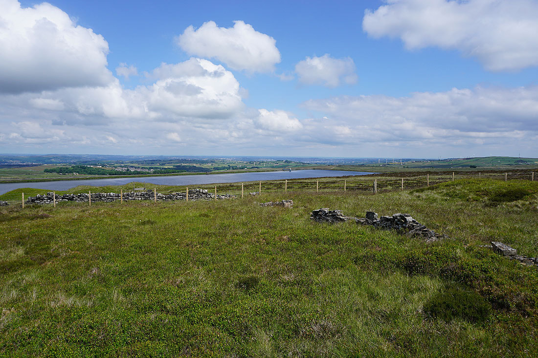
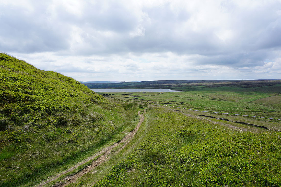
Thornton Moor Reservoir
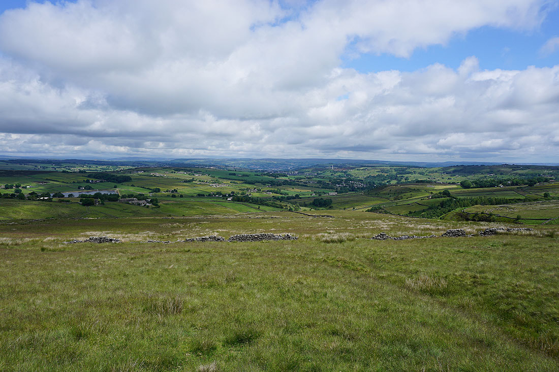
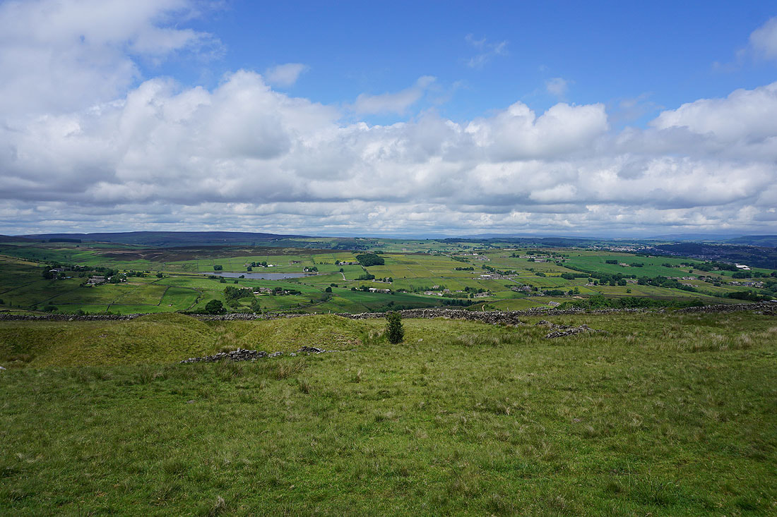
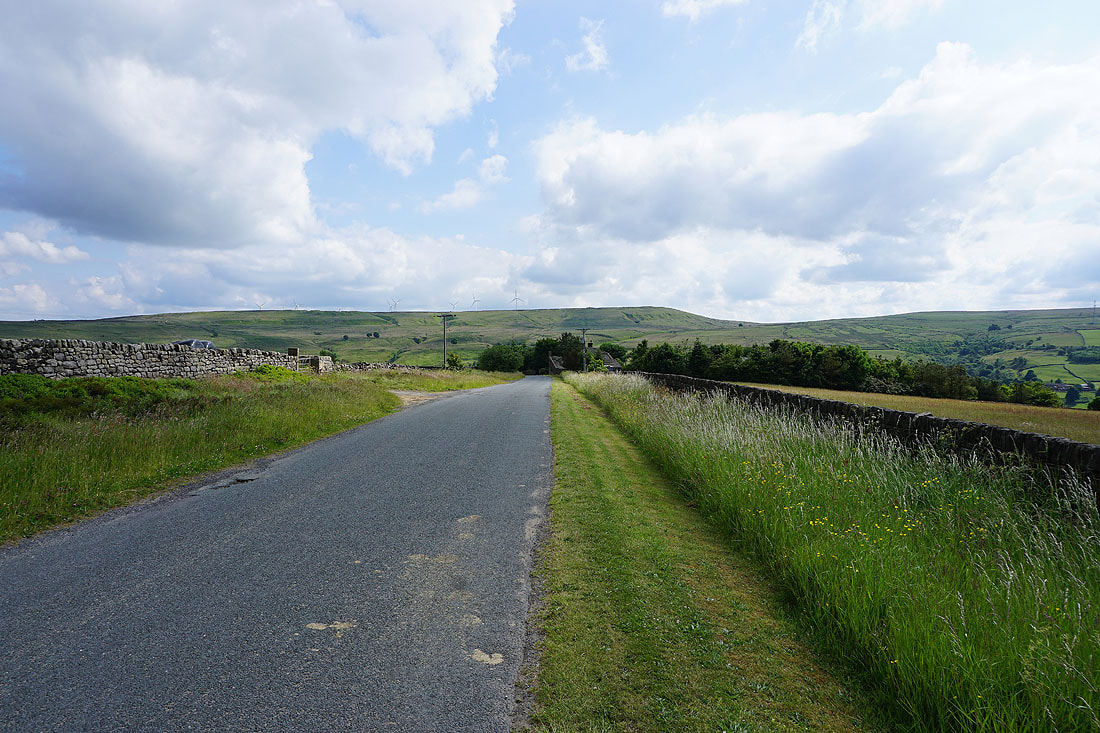
Looking back north as I head south along Hambleton Lane, with the moorland around Airedale and Wharfedale in the distance
Heading south along Hambleton Lane
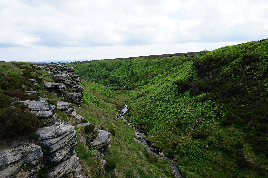
On the crags at the top of Ogden Clough
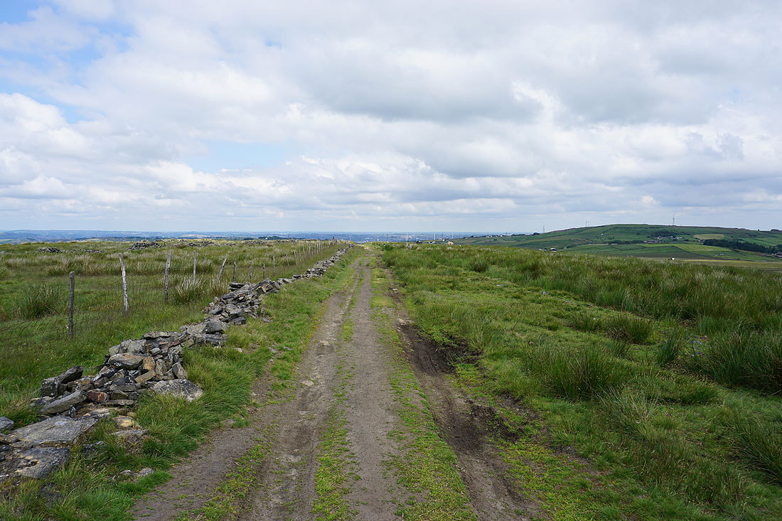
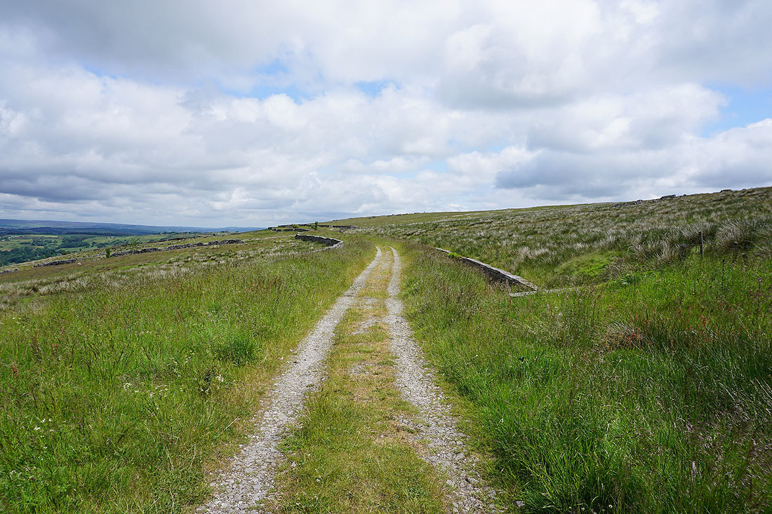
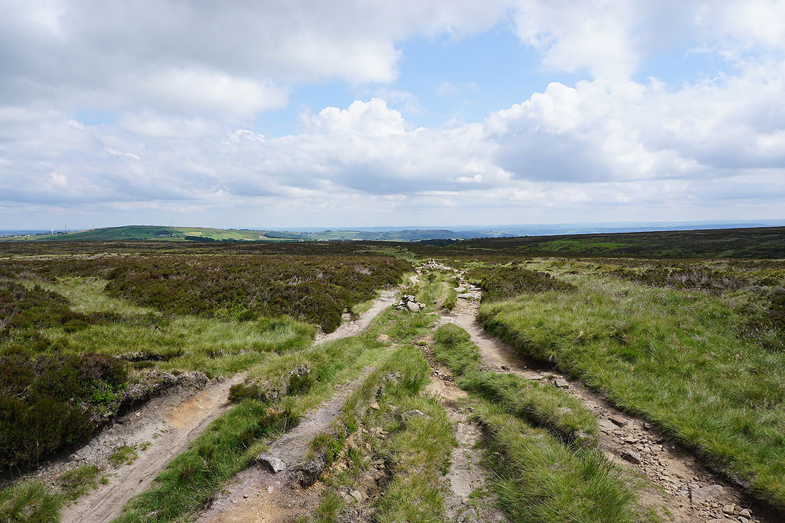
Heading east along the track of Foreside Lane
and then north along a footpath to Black Edge Lane
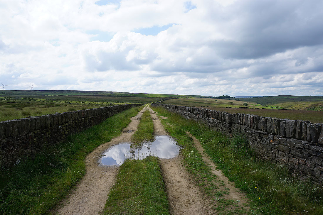
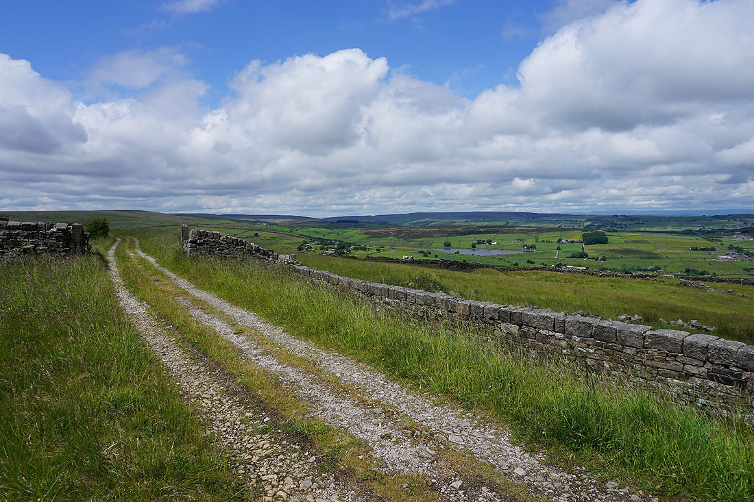
Following Black Edge Lane west to Thornton Moor Road
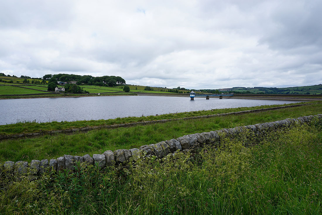
Stubden Reservoir and Denholme over the wall to my right
Looking back along Thornton Moor Road to Black Edge Lane
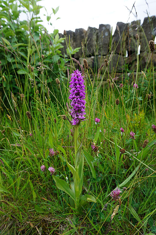
A Northern Marsh Orchid (maybe)
On the Bronte Way down to Leeming Reservoir and Leeming
By Leeming Reservoir
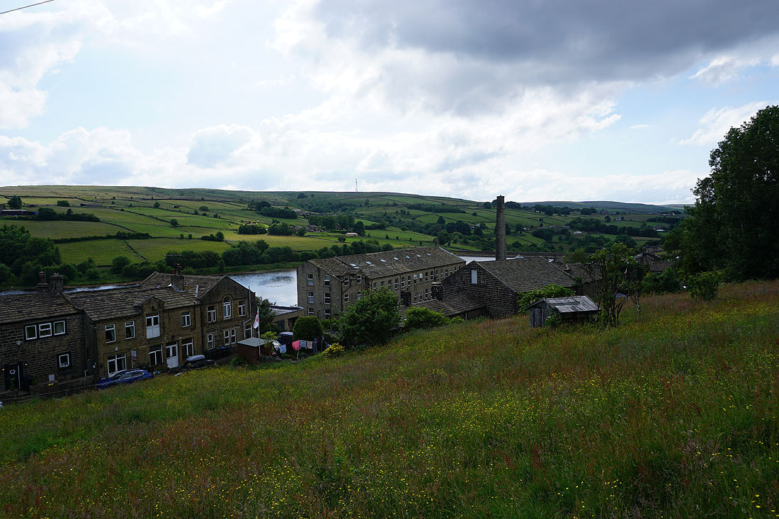
Leeming and..
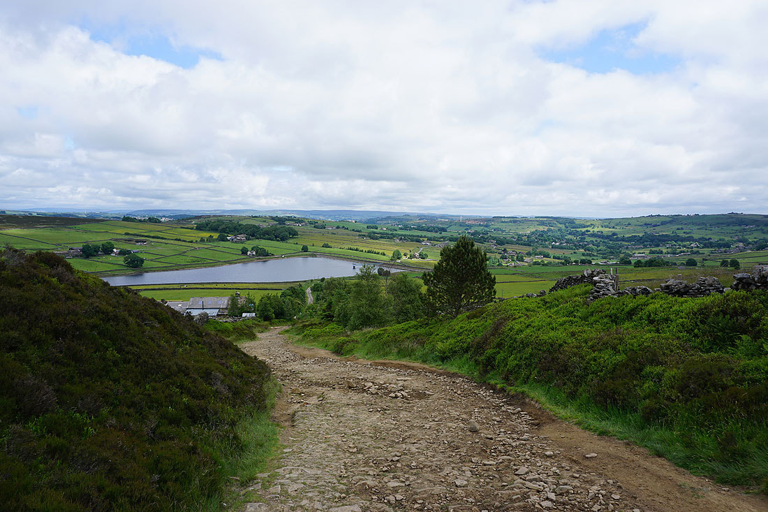
..Leeming Reservoir, Nab Hill and Oxenhope Moor, as I take the footpath from Leeming up to Black Moor Road
Looking back along Black Moor Road to Nab Hill
Great views of the countryside around Haworth and Oxenhope from Black Moor Road...

Heading down Dark Lane to Keighley Road and Oxenhope
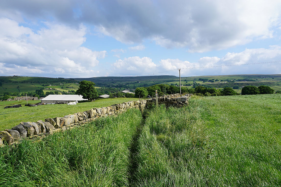
A buttercup filled field next to Dark Lane
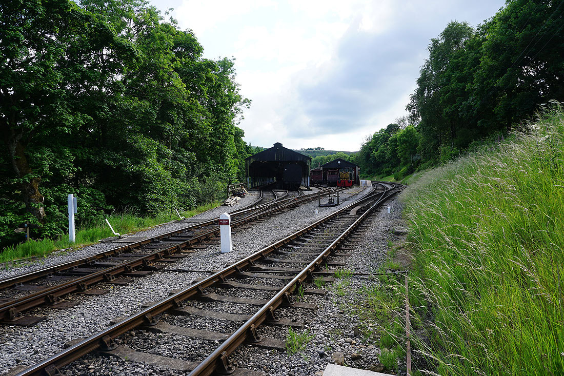
Crossing the Keighley and Worth Valley Railway
On the Bronte Way above Old Oxenhope Farm. Looking back to Nab Hill in the distance.
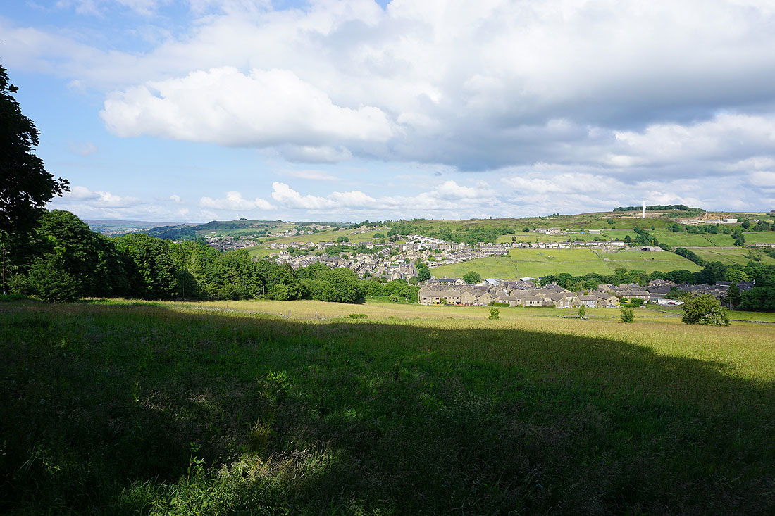
Sunshine on Haworth
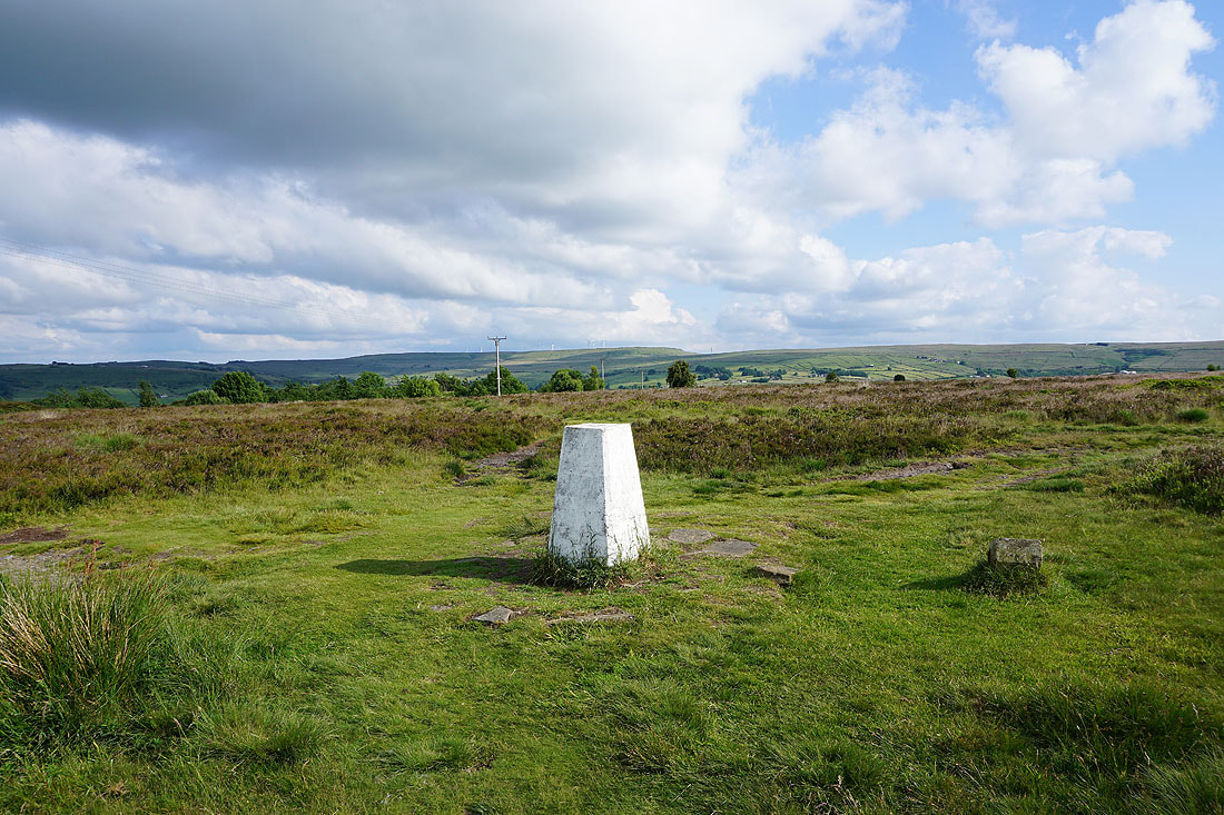
At the trig point on Penistone Hill. Looking south to Nab Hill and Oxenhope Moor.
Lower Laithe Reservoir, Stanbury and Oakworth Moor from Penistone Hill