26th March 2022 - Great Coum and Gragareth
Walk Details
Distance walked: 14.9 miles
Total ascent: 2548 ft
OS map used: OL2 - Yorkshire Dales, Southern & western areas
Time taken: 8 hrs
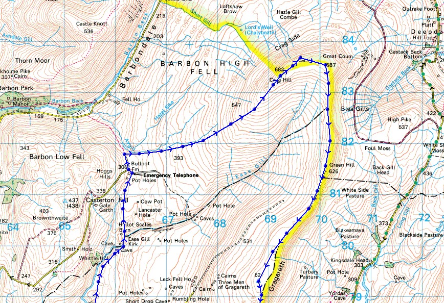
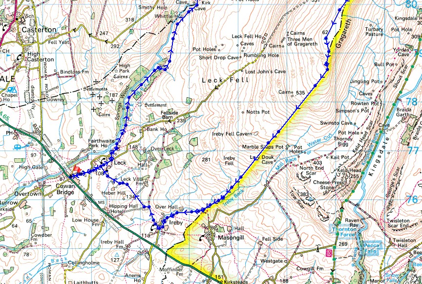
Route description: Cowan Bridge-Leck-Leck Mill-Springs Wood-Ease Gill Kirk-Bullpot Farm-Little Aygill-Richard Man-Crag Hill-The Crag-Great Coum-Green Hill-Gragareth-Ireby Fell-Over Hall-Ireby-Leck-Cowan Bridge
I last did this walk in August 2015, so I'd been thinking that once the days were longer enough that I should get around to doing it again. To avoid the long walk down the road from Leck Fell House to Cowan Bridge I decided to descend from Gragareth down the moorland of Ireby Fell to Masongill, and then make make way back to Cowan Bridge via Ireby. It didn't exactly go according to plan though. I was relying on the route off access land that I'd hope to use actually being there, and as far as I could tell it isn't, or at least I couldn't get to it without climbing a wall. According to my OS map there's a route with public access from access land by Ireby Beck to Masongill Fell Lane. After spending too long looking for it and wondering whether I was actually where I thought I was I sought an alternative, the public footpath from the southern end of access land by Ireby Beck to Over Hall. Fortunately it hadn't rained much recently and it wasn't a problem staying by Ireby Beck to reach this, but it would be if it had. Apart from that I had an enjoyable day on the fells. After a sunny start clouds built up through the morning and with no breeze to speak of, even up on the tops, any sunshine was quite limited during the afternoon, and with it being a mild day it felt quite warm.
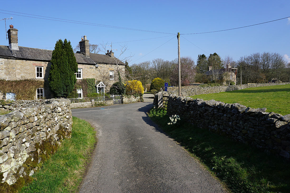
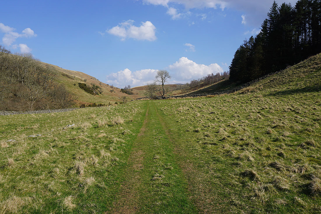
From the Fraser Hall car park in Cowan Bridge (it's free but I made a donation to the honesty box) I turned left, walked under the bridge and up the road to a crossroads where I went straight on, then turned left at the next junction and followed the road down to Leck and Leck Mill. When I reached the end of the road at Low Leck House I went through a gate and onto the footpath up the valley of Leck Beck, keeping to the lower path through Springs Wood before heading uphill and joining the upper path further up the valley. Eventually, I reached the top of Leck Beck and after passing through Ease Gill Kirk I made it to Bullpot Farm. I then made my way along the bridleway to Barbondale, on reaching its top and passing through a gate access land was entered on the right. The roughest part of the walk came next with a long gradual ascent to Crag Hill, initially following Little Aygill uphill, with a stop at the cairn of Richard Man for lunch. From Crag Hill the next part of the route was easy, follow the high ground round the head of Ease Gill. Heading south from Great Coum I took the east side of the wall and then crossed to the west on the way up Green Hill and to Gragareth. From the trig point on Gragareth I made my way to the top of the wall on the south ridge then followed the path southwest down its eastern side, crossing over to the western side when I reached a stile in the wall and the path that heads for Turbary Road past Marble Steps Pot. I then made my way down the moorland of Ireby Fell, and on reaching Ireby Beck I followed it to the southern edge of access land and the public footpath to Over Hall. The footpath joined the access road to Over Hall, which I walked down into Ireby. From Ireby I then walked along the road to Leck, and then back to Cowan Bridge.
Total ascent: 2548 ft
OS map used: OL2 - Yorkshire Dales, Southern & western areas
Time taken: 8 hrs
Route description: Cowan Bridge-Leck-Leck Mill-Springs Wood-Ease Gill Kirk-Bullpot Farm-Little Aygill-Richard Man-Crag Hill-The Crag-Great Coum-Green Hill-Gragareth-Ireby Fell-Over Hall-Ireby-Leck-Cowan Bridge
I last did this walk in August 2015, so I'd been thinking that once the days were longer enough that I should get around to doing it again. To avoid the long walk down the road from Leck Fell House to Cowan Bridge I decided to descend from Gragareth down the moorland of Ireby Fell to Masongill, and then make make way back to Cowan Bridge via Ireby. It didn't exactly go according to plan though. I was relying on the route off access land that I'd hope to use actually being there, and as far as I could tell it isn't, or at least I couldn't get to it without climbing a wall. According to my OS map there's a route with public access from access land by Ireby Beck to Masongill Fell Lane. After spending too long looking for it and wondering whether I was actually where I thought I was I sought an alternative, the public footpath from the southern end of access land by Ireby Beck to Over Hall. Fortunately it hadn't rained much recently and it wasn't a problem staying by Ireby Beck to reach this, but it would be if it had. Apart from that I had an enjoyable day on the fells. After a sunny start clouds built up through the morning and with no breeze to speak of, even up on the tops, any sunshine was quite limited during the afternoon, and with it being a mild day it felt quite warm.
From the Fraser Hall car park in Cowan Bridge (it's free but I made a donation to the honesty box) I turned left, walked under the bridge and up the road to a crossroads where I went straight on, then turned left at the next junction and followed the road down to Leck and Leck Mill. When I reached the end of the road at Low Leck House I went through a gate and onto the footpath up the valley of Leck Beck, keeping to the lower path through Springs Wood before heading uphill and joining the upper path further up the valley. Eventually, I reached the top of Leck Beck and after passing through Ease Gill Kirk I made it to Bullpot Farm. I then made my way along the bridleway to Barbondale, on reaching its top and passing through a gate access land was entered on the right. The roughest part of the walk came next with a long gradual ascent to Crag Hill, initially following Little Aygill uphill, with a stop at the cairn of Richard Man for lunch. From Crag Hill the next part of the route was easy, follow the high ground round the head of Ease Gill. Heading south from Great Coum I took the east side of the wall and then crossed to the west on the way up Green Hill and to Gragareth. From the trig point on Gragareth I made my way to the top of the wall on the south ridge then followed the path southwest down its eastern side, crossing over to the western side when I reached a stile in the wall and the path that heads for Turbary Road past Marble Steps Pot. I then made my way down the moorland of Ireby Fell, and on reaching Ireby Beck I followed it to the southern edge of access land and the public footpath to Over Hall. The footpath joined the access road to Over Hall, which I walked down into Ireby. From Ireby I then walked along the road to Leck, and then back to Cowan Bridge.
Route map
© Crown copyright. All rights reserved. License number PU 100034184.
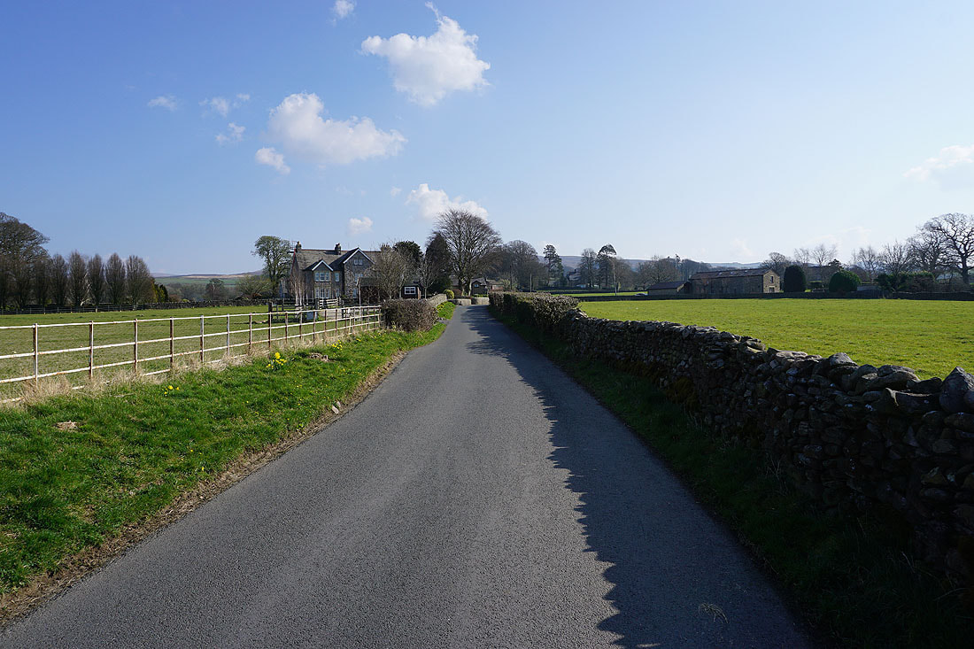
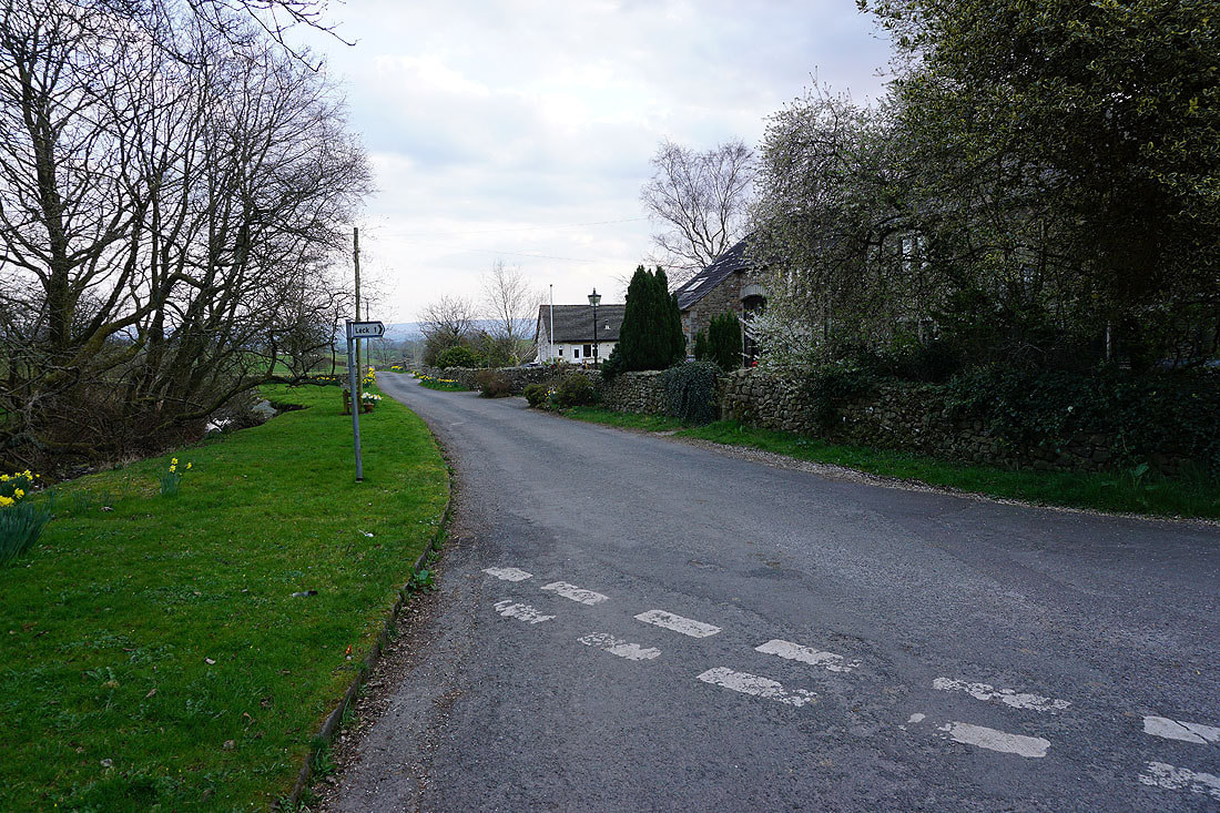
Leaving Cowan Bridge behind I walk along the road to Leck..
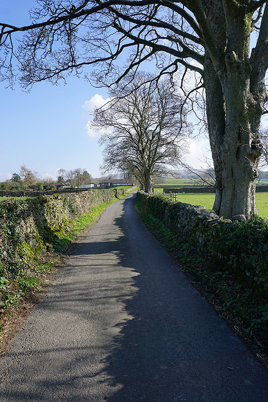
Passing through the hamlet of Leck
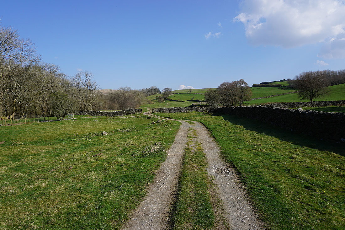
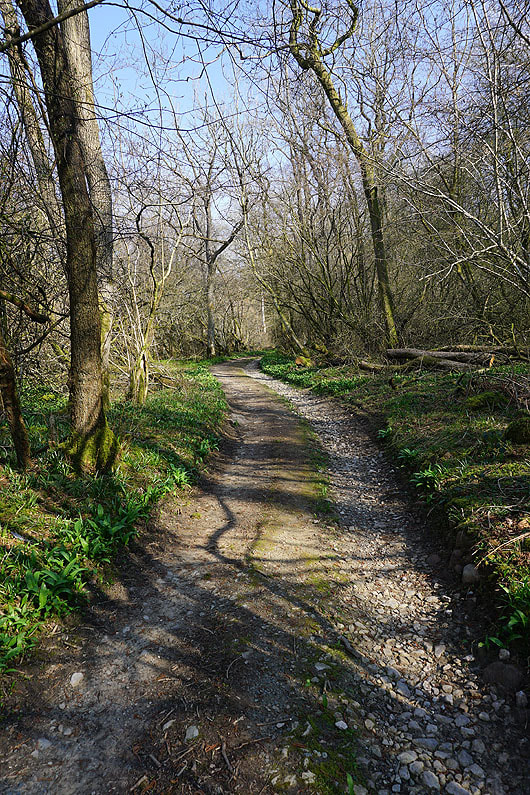
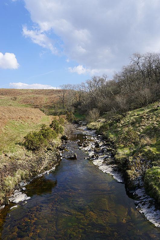
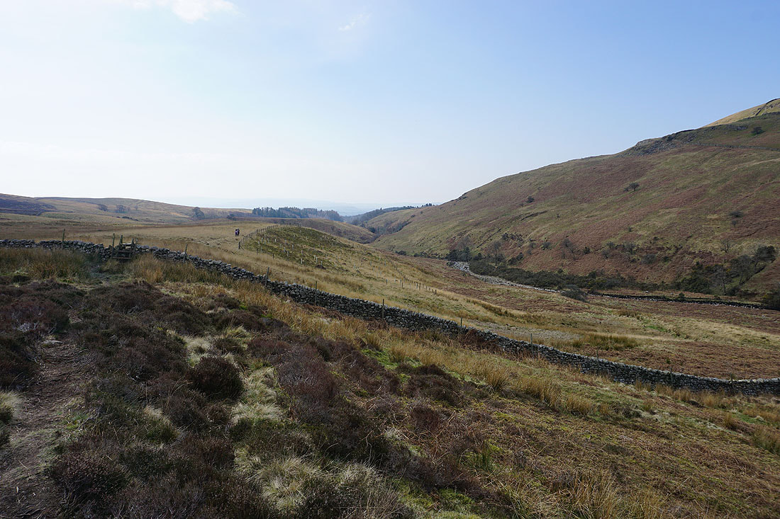
At the end of the road I go through a gate and follow the footpath up the valley of Leck Beck....
|
|
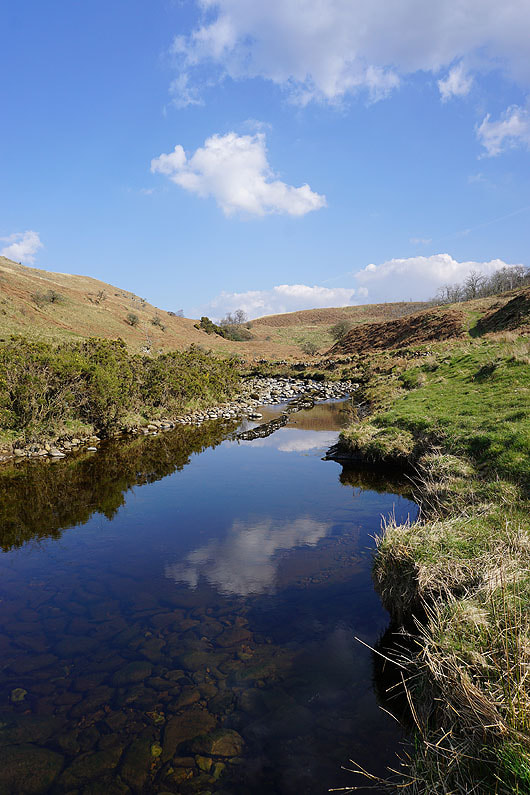
A footbridge lets me take a couple of photos of Leck Beck from above
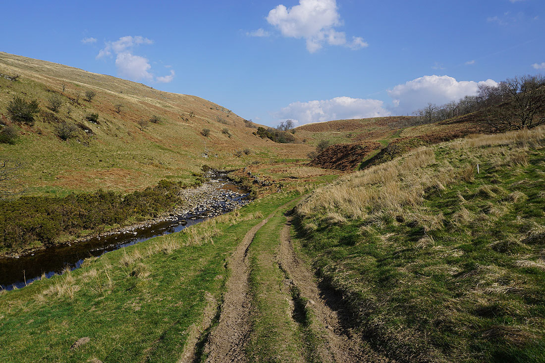
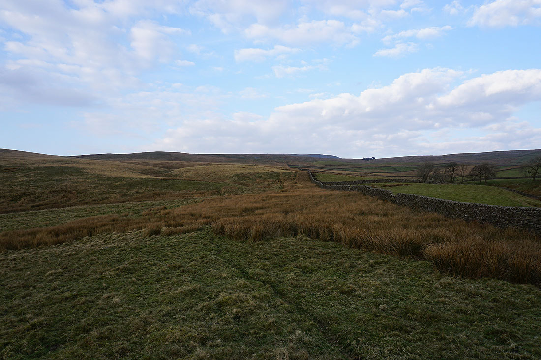
The footpath leaves the beck and heads across the moor to Ease Gill Kirk
Looking back down the valley of Leck Beck
|
|
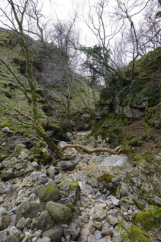
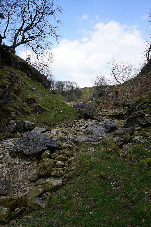
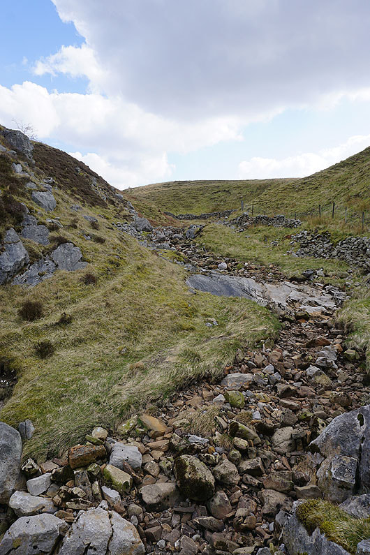
Passing through Ease Gill Kirk. Bone dry today but there's plenty of evidence of just how powerful the flow of water through here in times of flood is, look at the size of some of the boulders...
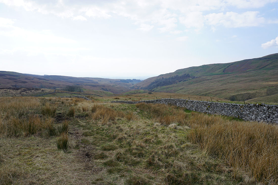
Looking back down the valley of Leck Beck from above Ease Gill Kirk
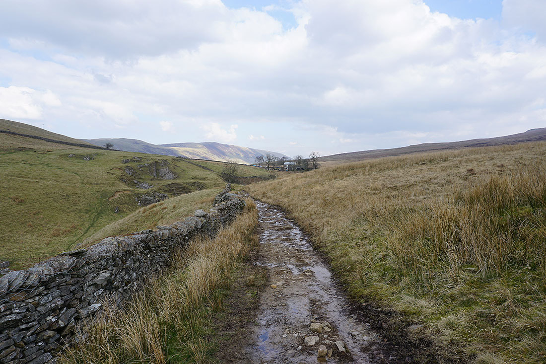
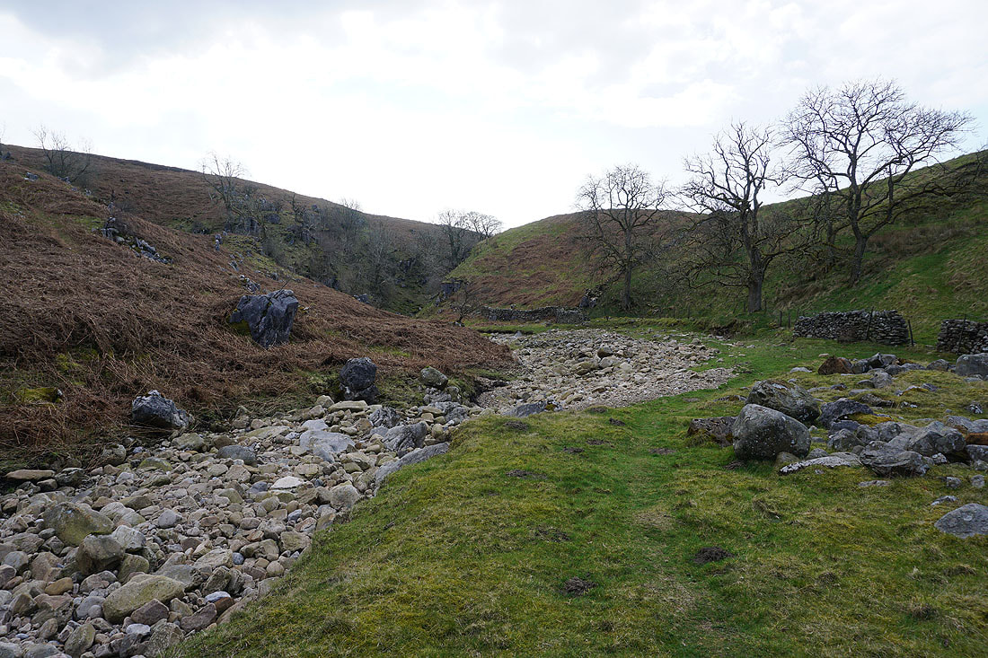
Bullpot Farm is in sight at last
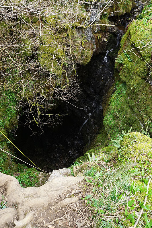
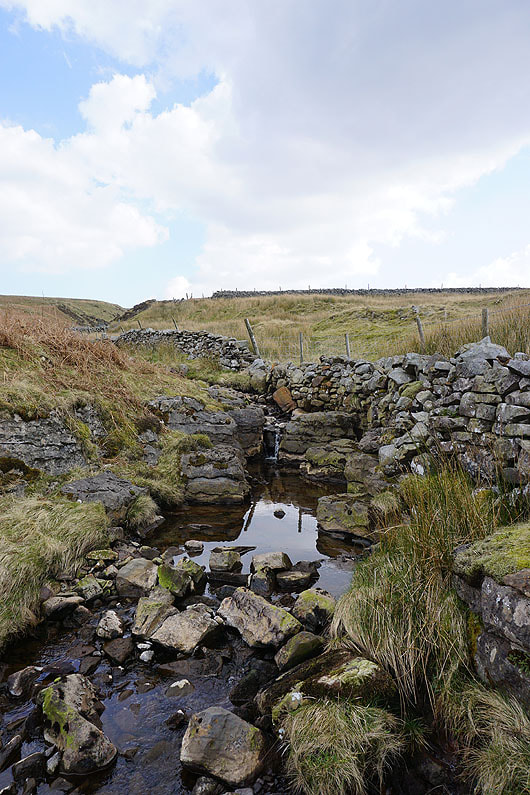
The entrance to Bull Pot of the Witches
Middleton Fell ahead as I take the bridleway from Bullpot Farm to Barbondale
|
|
At the top of the bridleway I went through a gate on the right to follow Little Aygill uphill..
The slopes of Crag Hill rise ahead
At the cairn of Richard Man, a good place for me to stop for lunch. Looking back down the slopes of Crag Hill to Barbon Low Fell.
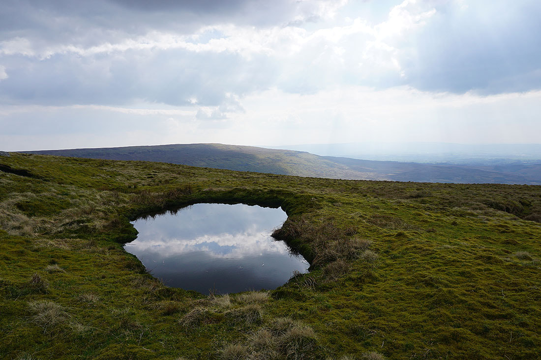
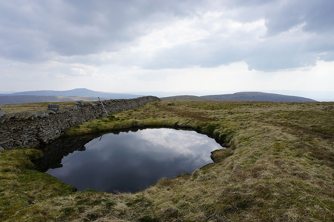
A moorland pool with a view across to Gragareth. Barely a ripple, shows just how light the wind is.
Approaching the top of Crag Hill
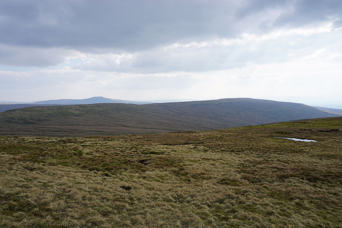
Ingleborough and Gragareth from Crag Hill
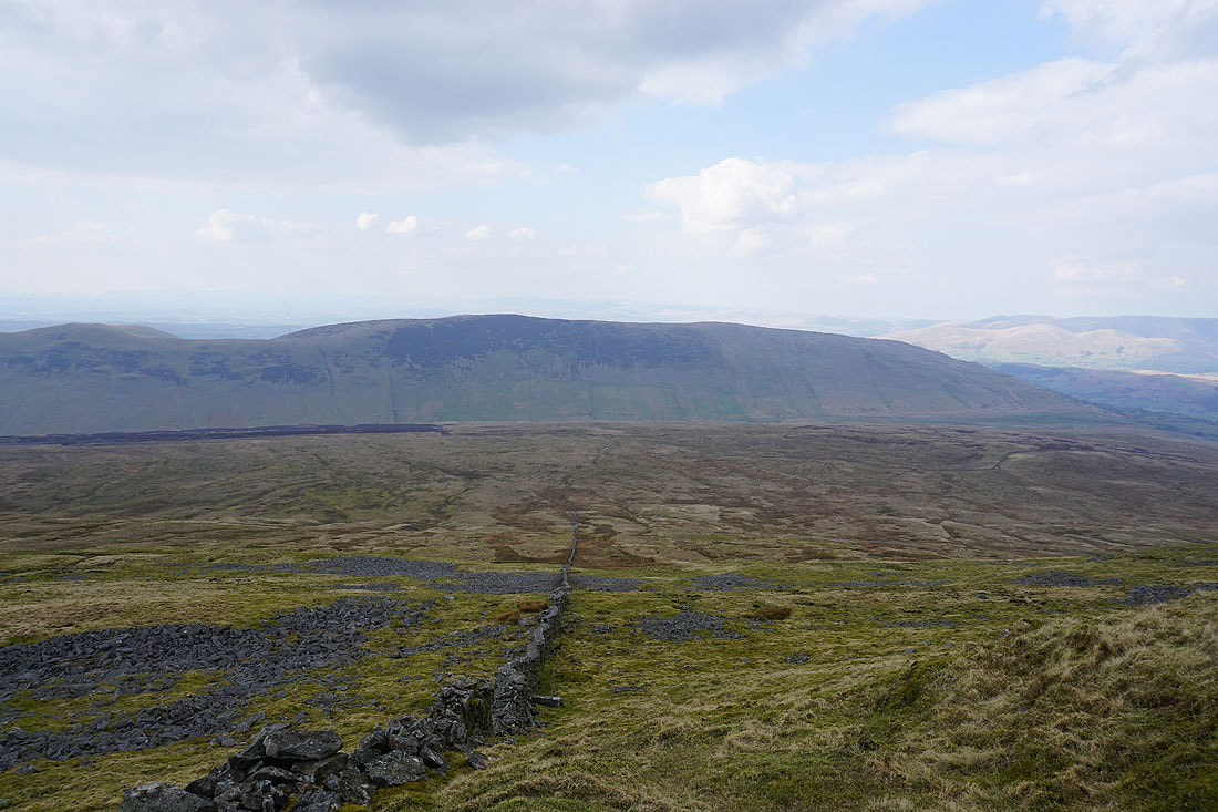
Looking across Barbondale to Middleton Fell
The Howgills from the trig point on Crag Hill
The Howgills, Baugh Fell and Aye Gill Pike
The broad summit of Great Coum
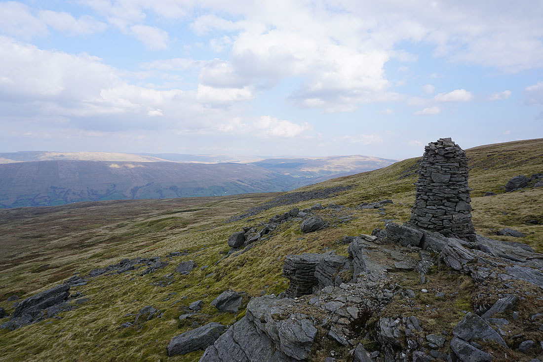
Before I cross it, a visit to the cairn on the top of The Crag. Looking up Dentdale to Great Knoutberry Hill.
and across to Aye Gill Pike, with Baugh Fell behind it
and down Dentdale to the Howgills
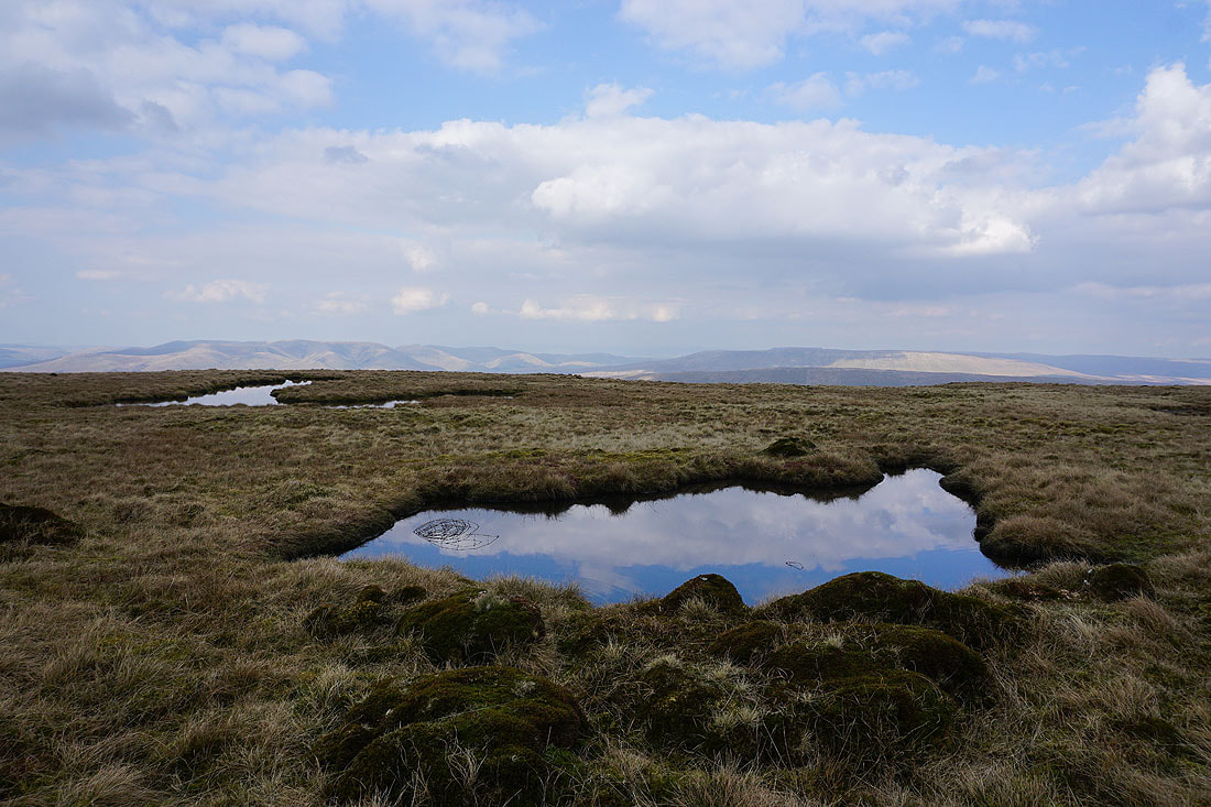
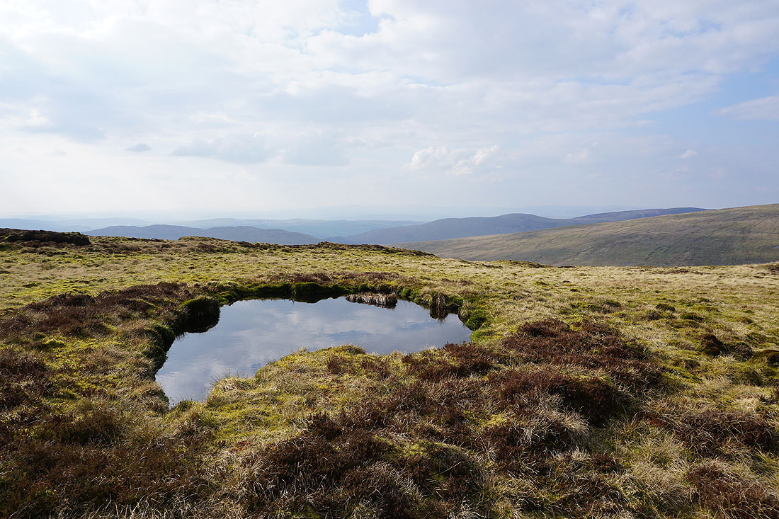
Moorland pools on Great Coum
Looking across Dentdale to Baugh Fell, Aye Gill Pike and Great Knoutberry Hill
Whernside and Ingleborough. At this point I'll cross the summit wall, there are stiles for both sides of the wall heading south. I took the one for the eastern side.
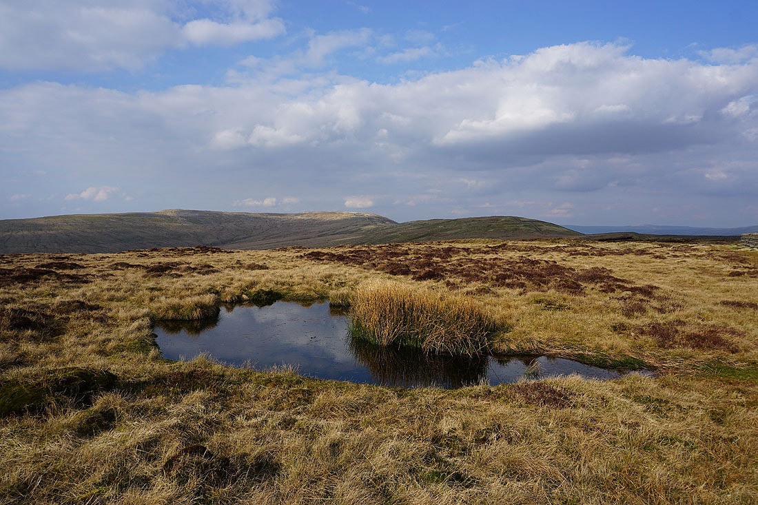
A moorland pool as flat as a mirror provides a foreground for a view of Ingleborough and Gragareth
As well as for Great Shunner Fell and Great Knoutberry Hill
Looking across the head of Ease Gill to Crag Hill
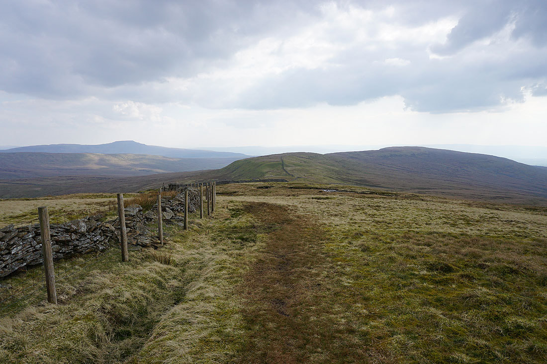
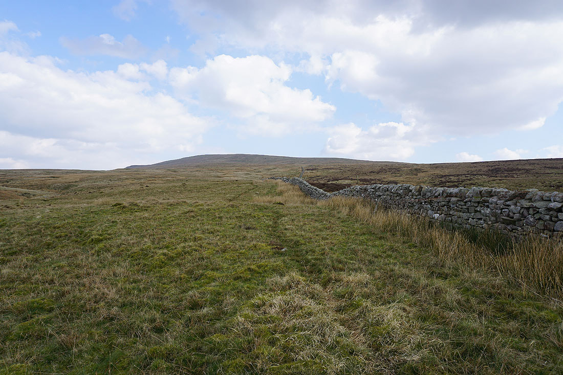
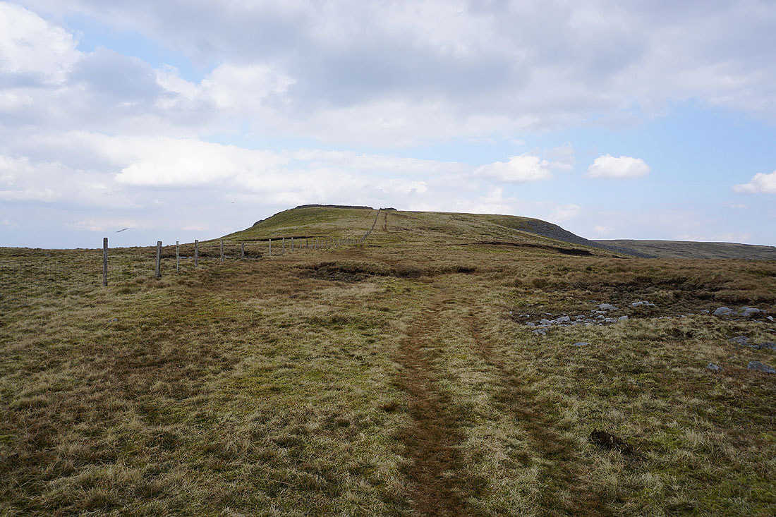
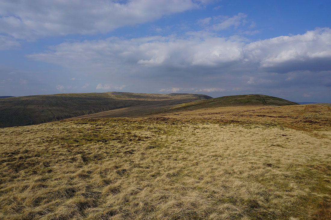
Heading for Green Hill and Gragareth
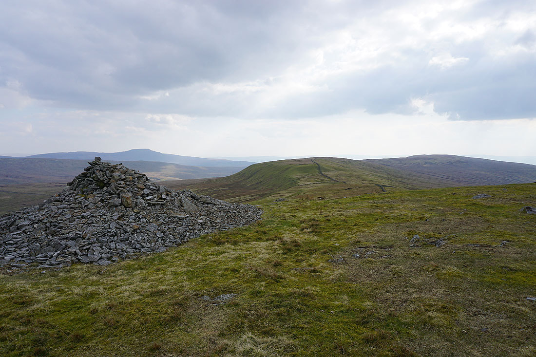
Ingleborough, Green Hill and Gragareth from the cairn at Gatty Pike
The slopes of Great Coum fall into Deepdale
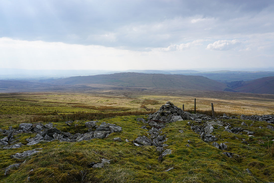
The County Stone. Up until 1974 this marked the point where Lancashire, Westmorland and the West Riding of Yorkshire met.
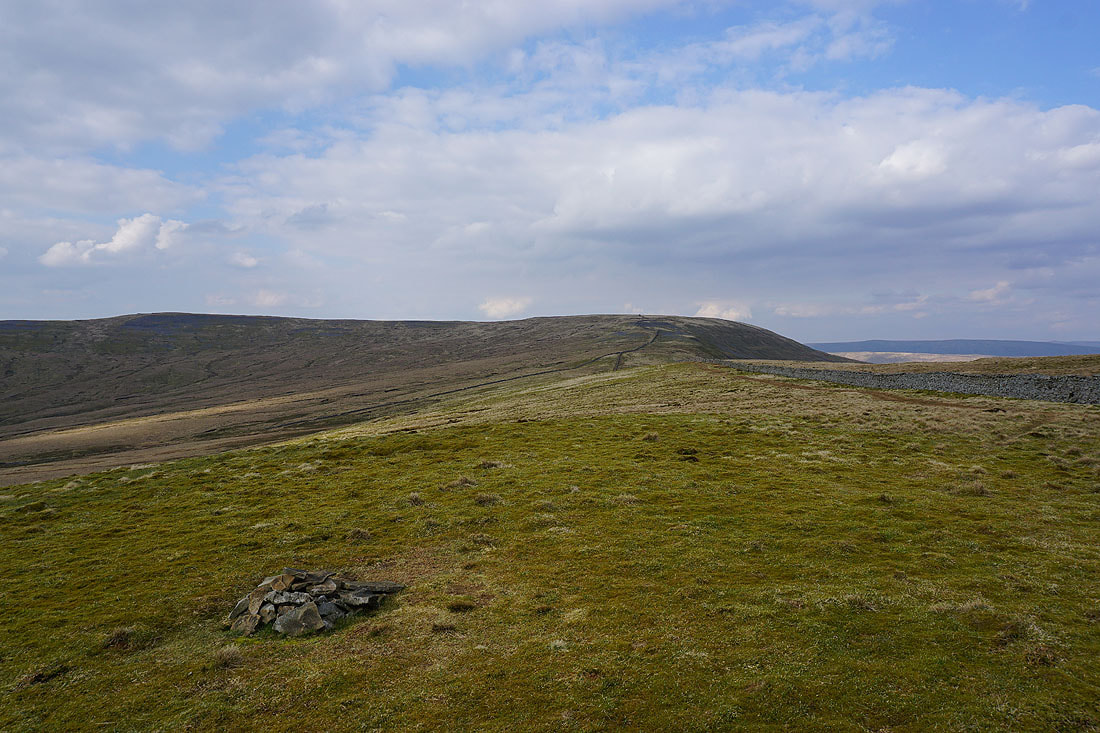
Crag Hill and Great Coum from Green Hill
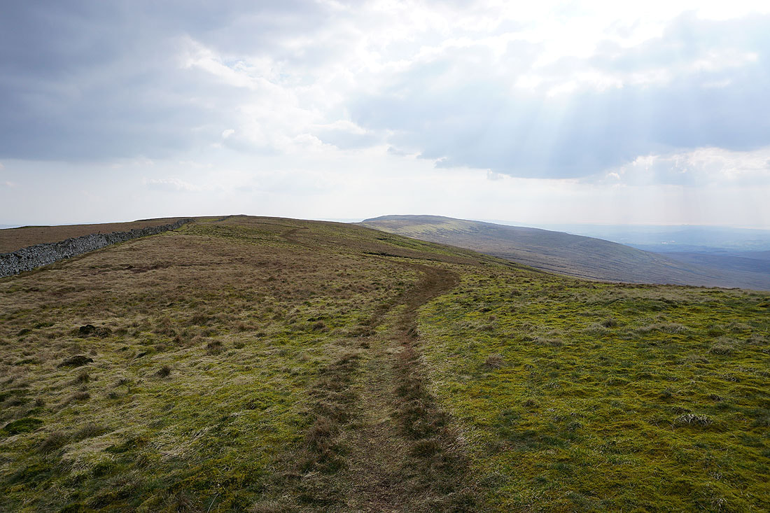
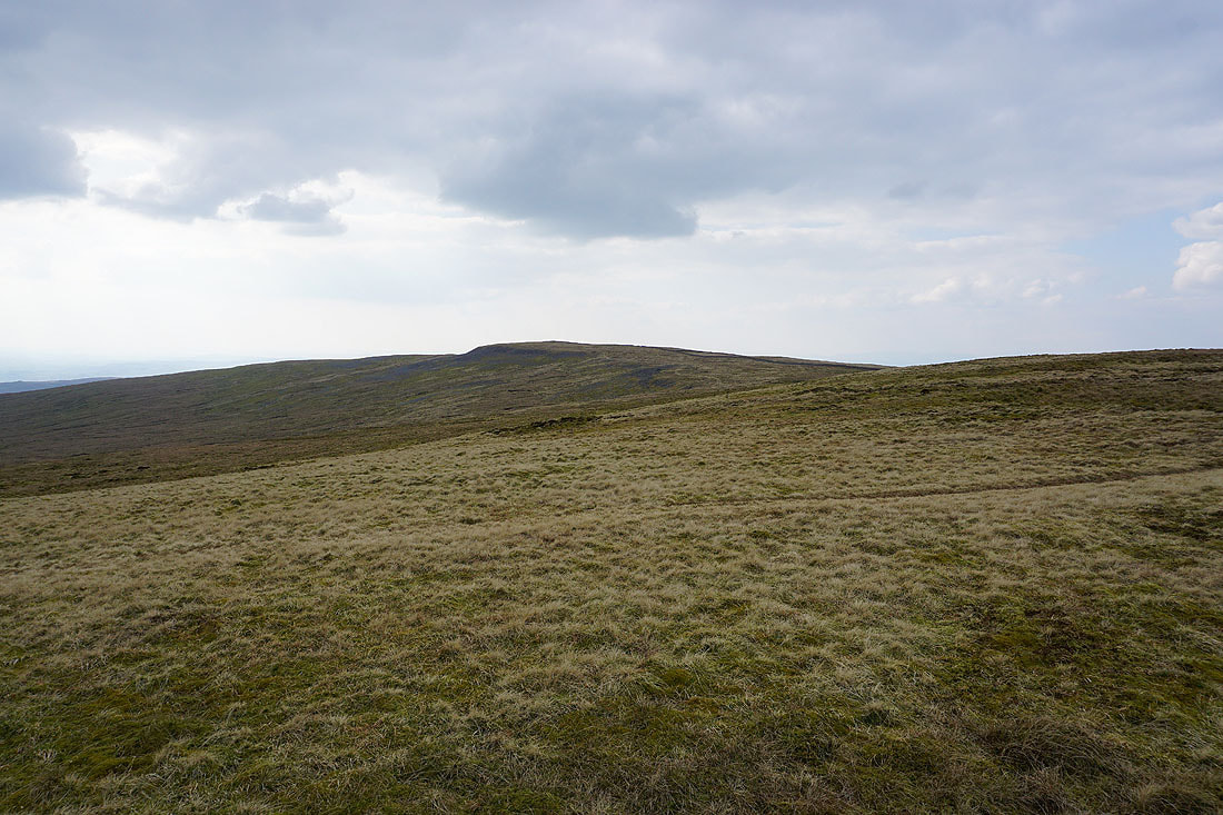
Onwards across the top of Green Hill towards Gragareth
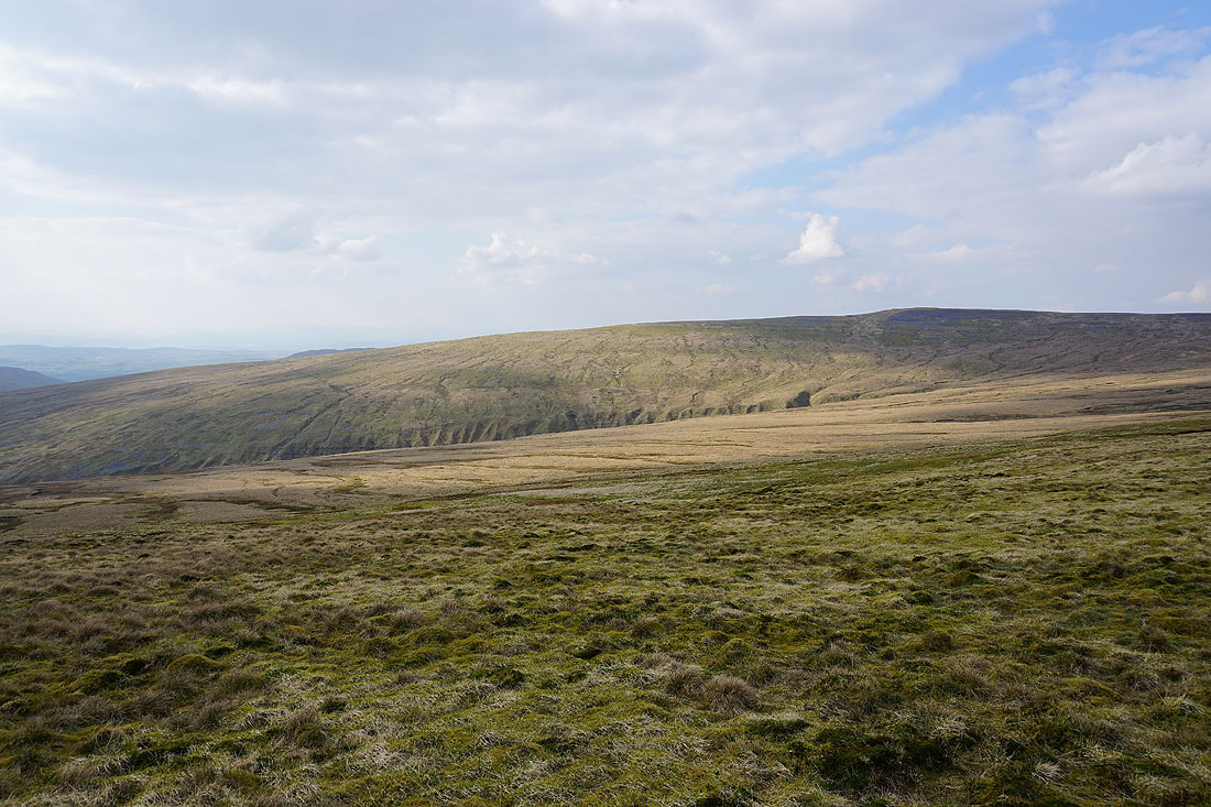
Looking across Ease Gill to the sunlit slopes of Crag Hill
and back to Crag Hill, Great Coum and Green Hill
More moorland pools..
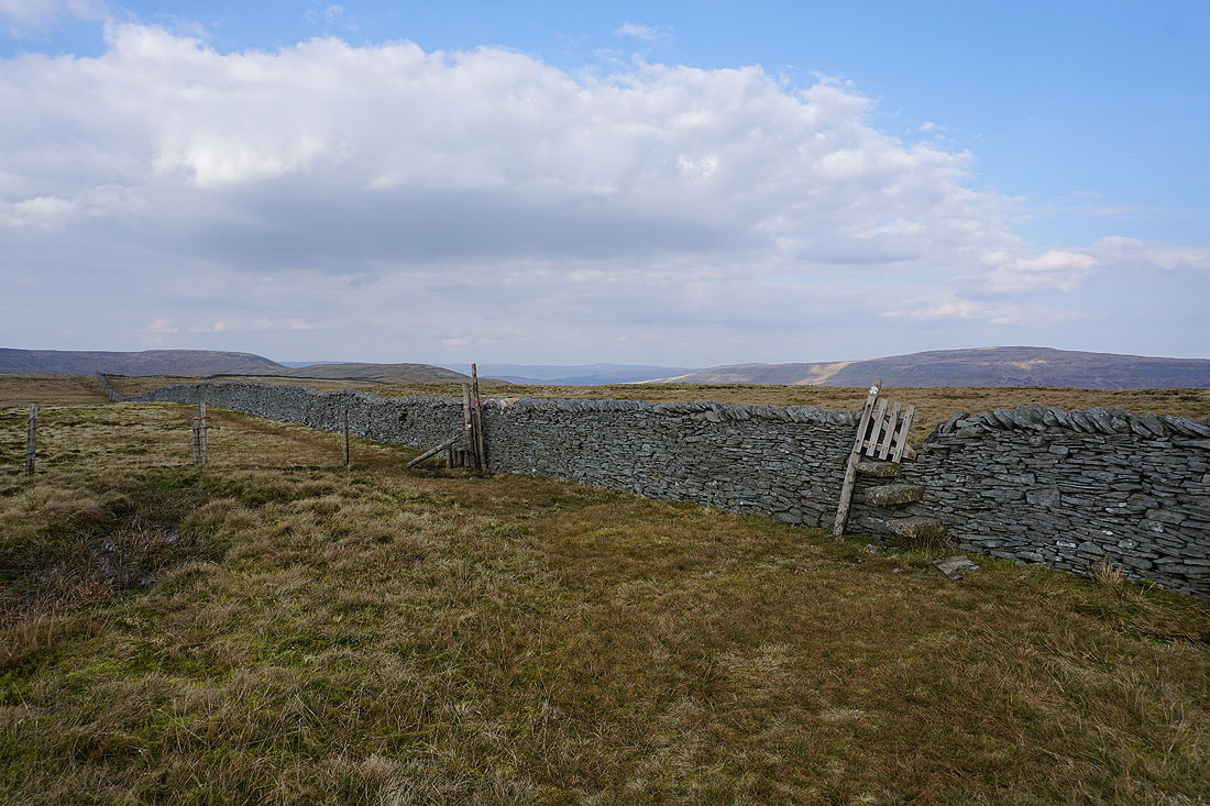
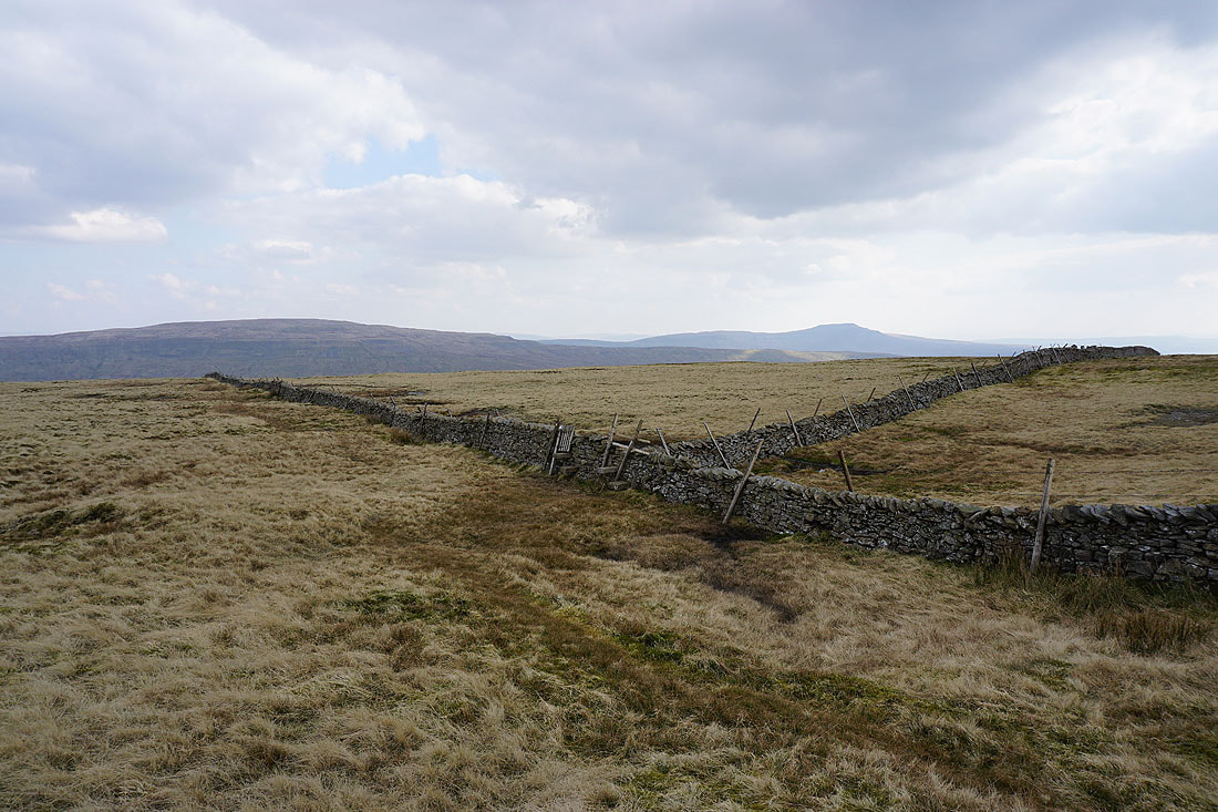
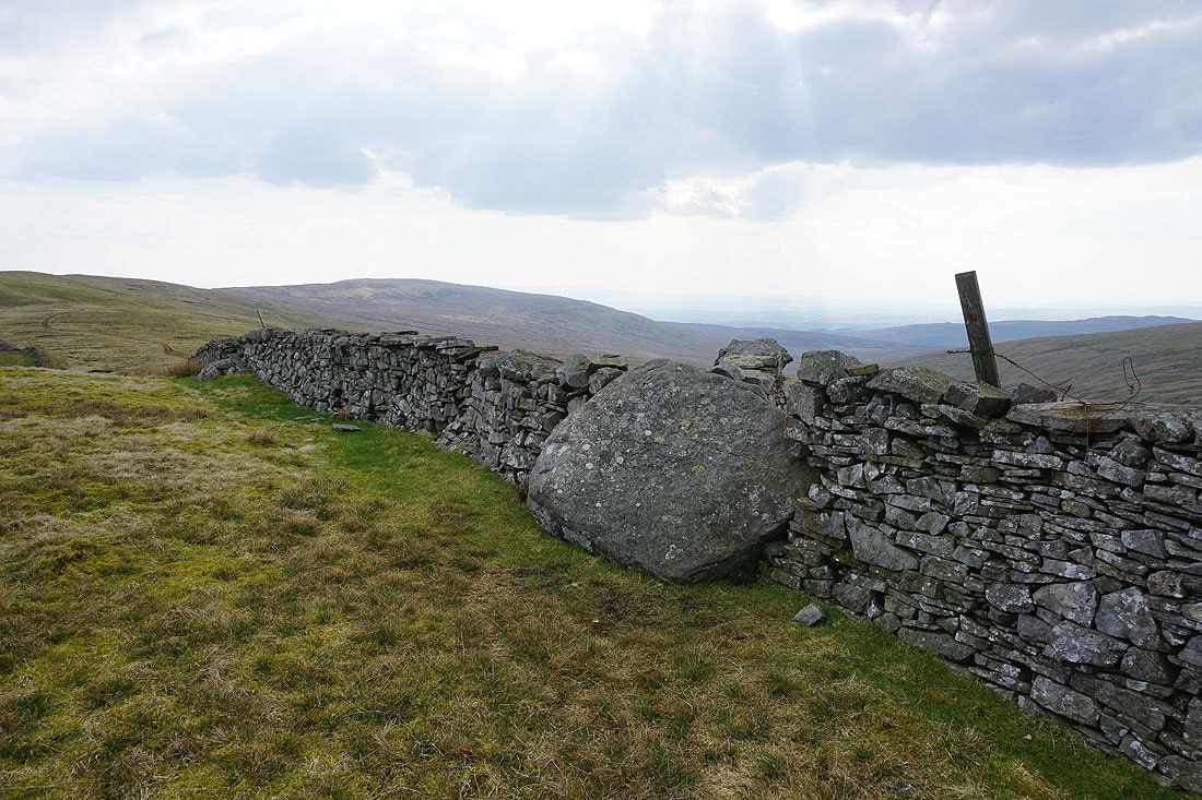
That gate and stile in the wall is where I've crossed it when I've climbed up to Gragareth from Kingsdale
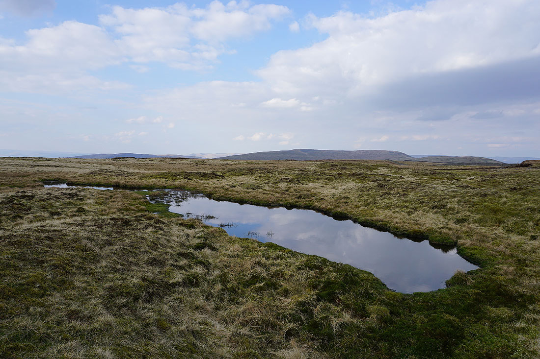
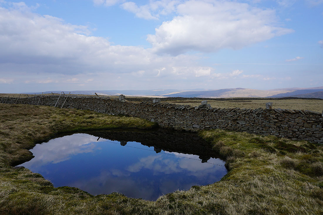
I couldn't resist another moorland pool, with Crag Hill and Great Coum in the background
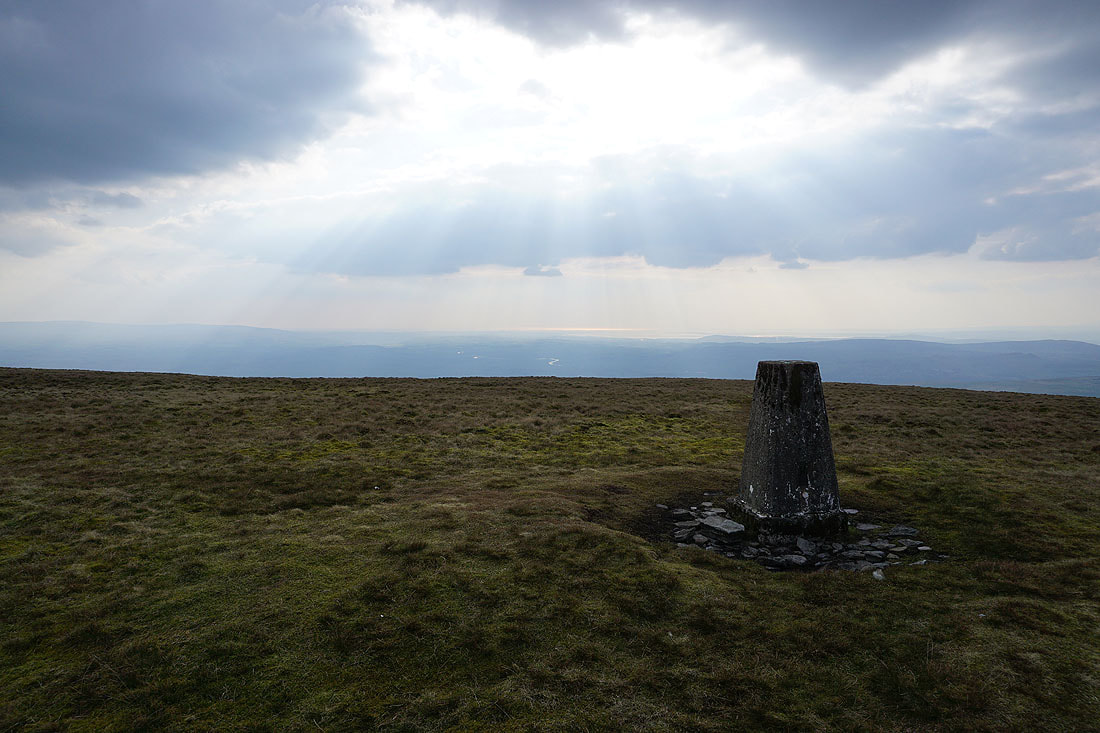
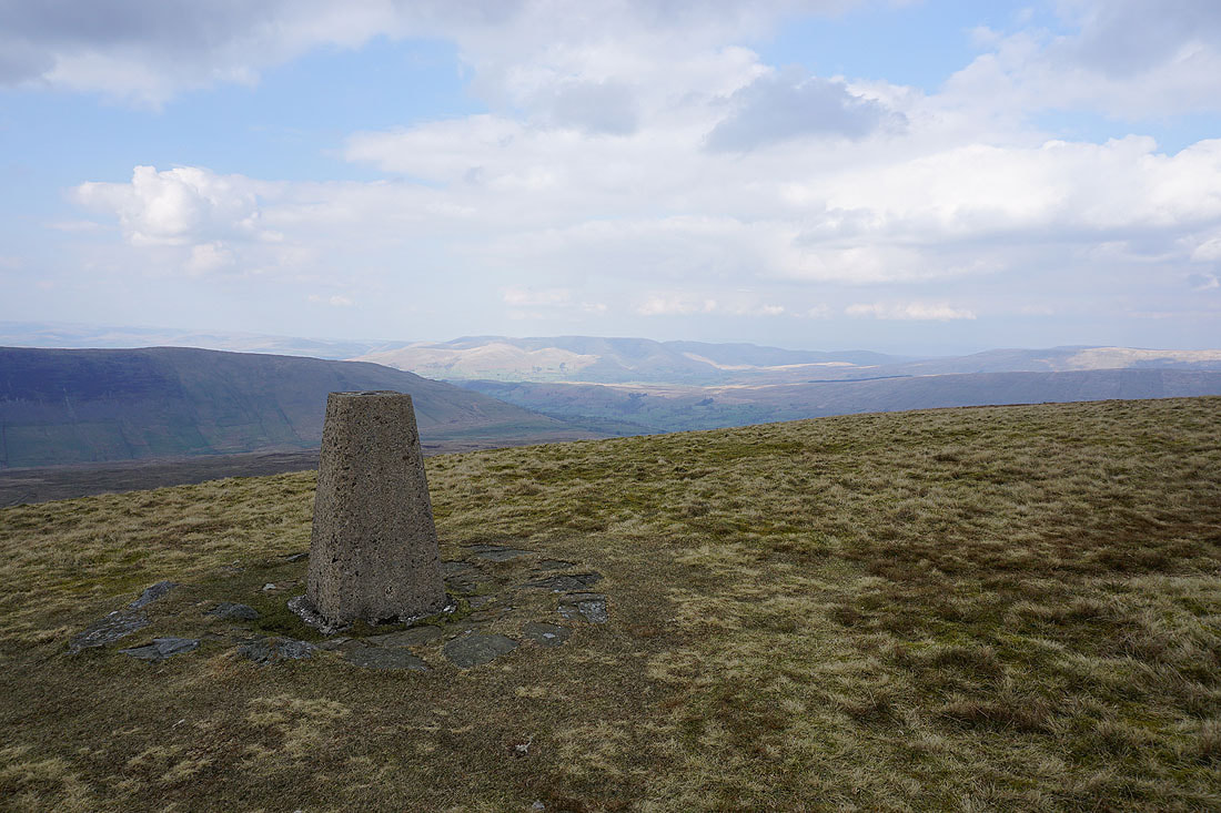
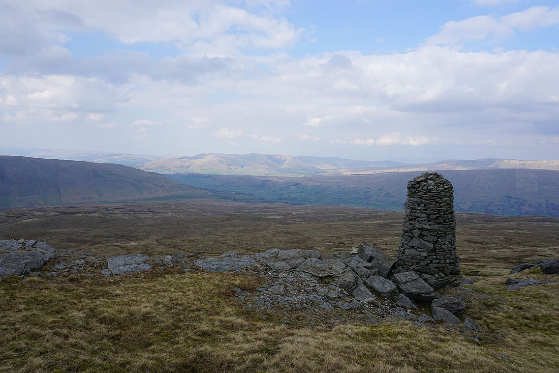
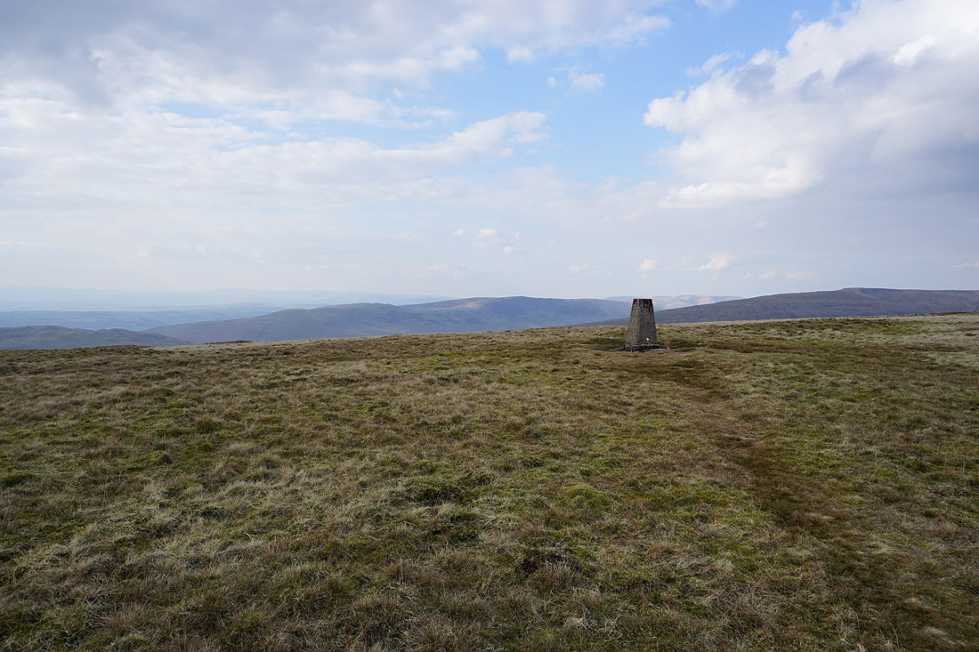
At the trig point on Gragareth, with the sun shining on Morecambe Bay in the distance
I can just make out the hazy outline of the Lake District fells in the distance
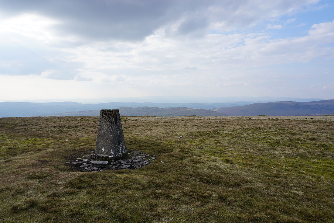
Middleton Fell, the Howgills, Crag Hill and Great Coum
Barbon Low Fell, Middleton Fell, and the Howgills
Middleton Fell, the Howgills and Crag Hill
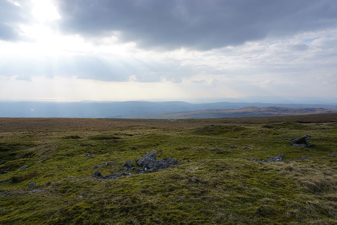
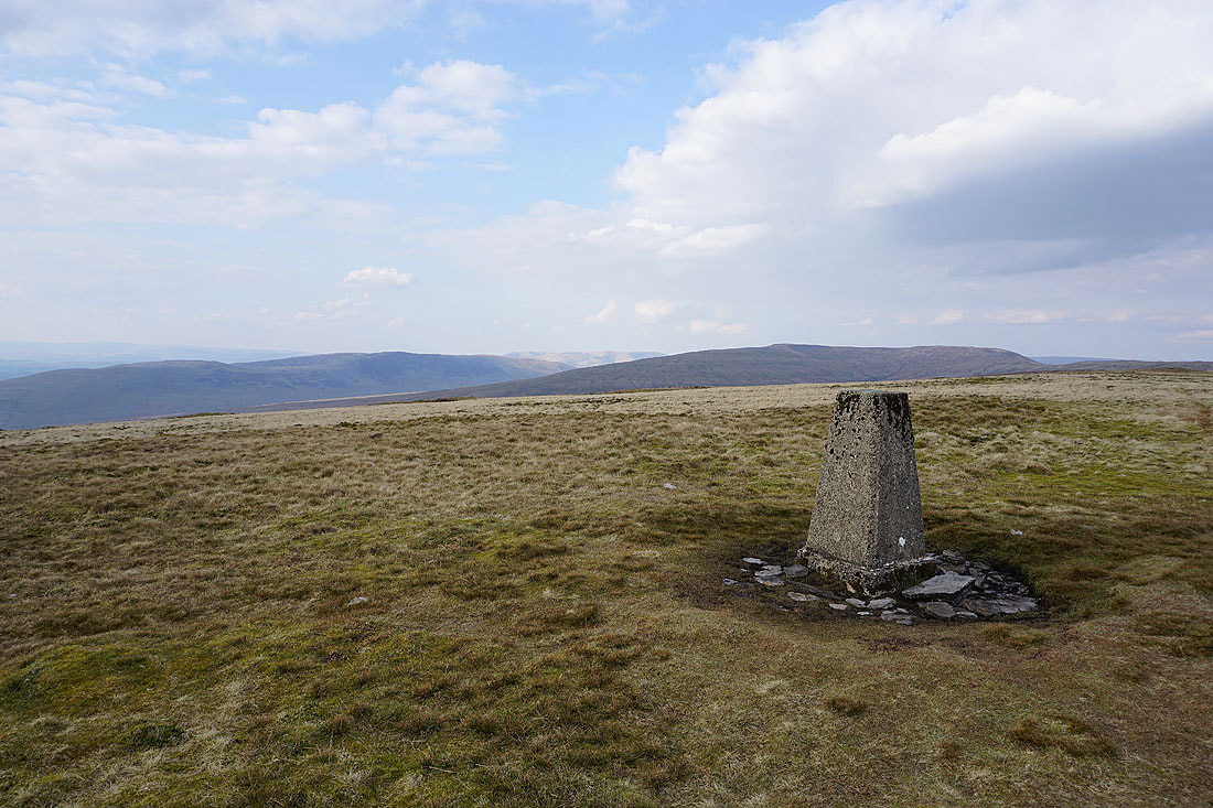
Looking west to the hills around Kirkby Lonsdale and to Morecambe Bay as I leave the trig point behind
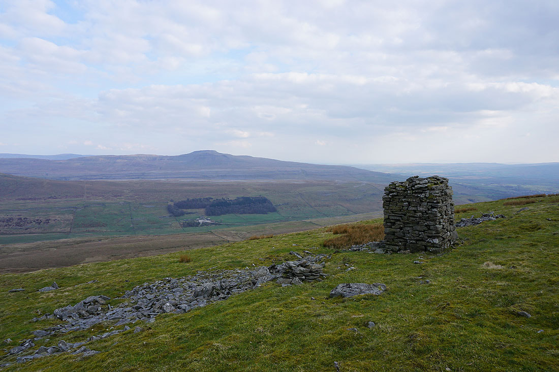
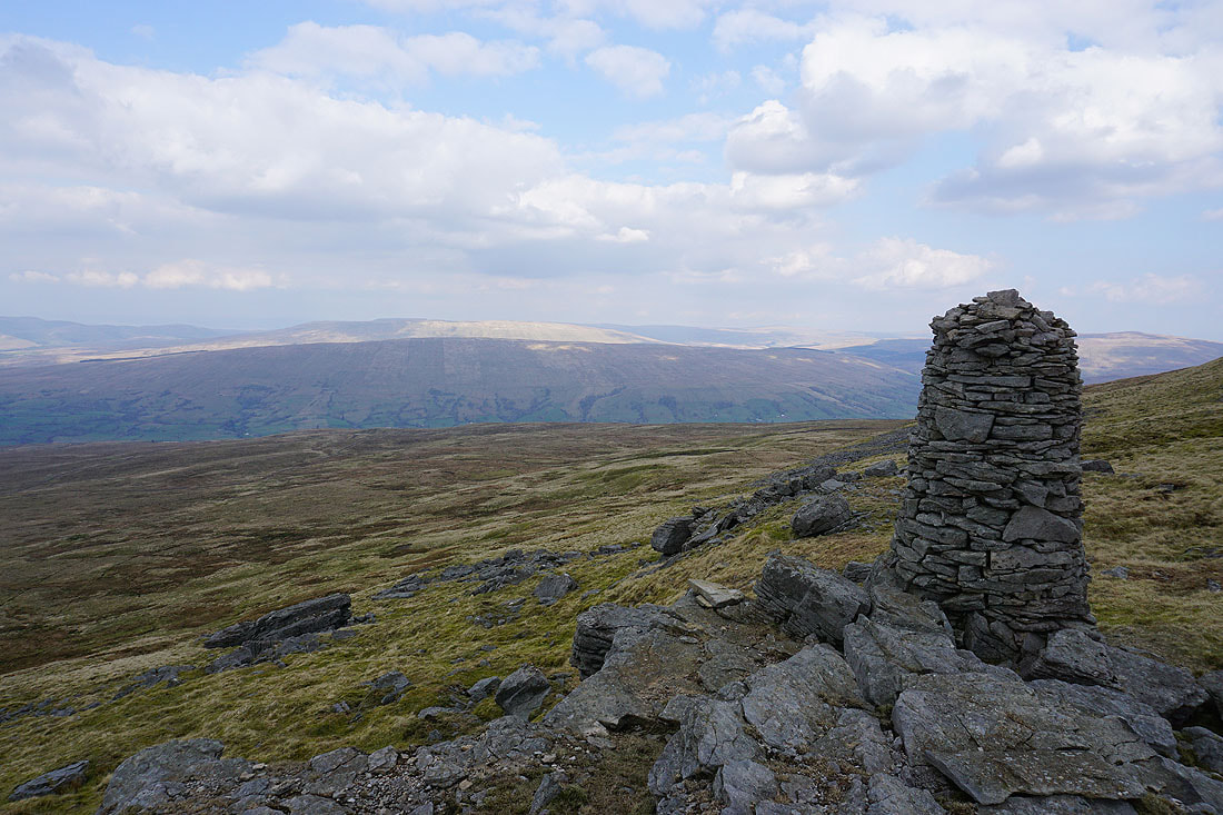
This stone pillar at the top of the slope up from Kingsdale has a great view across to Ingleborough..
..and to Whernside above the head of Kingsdale
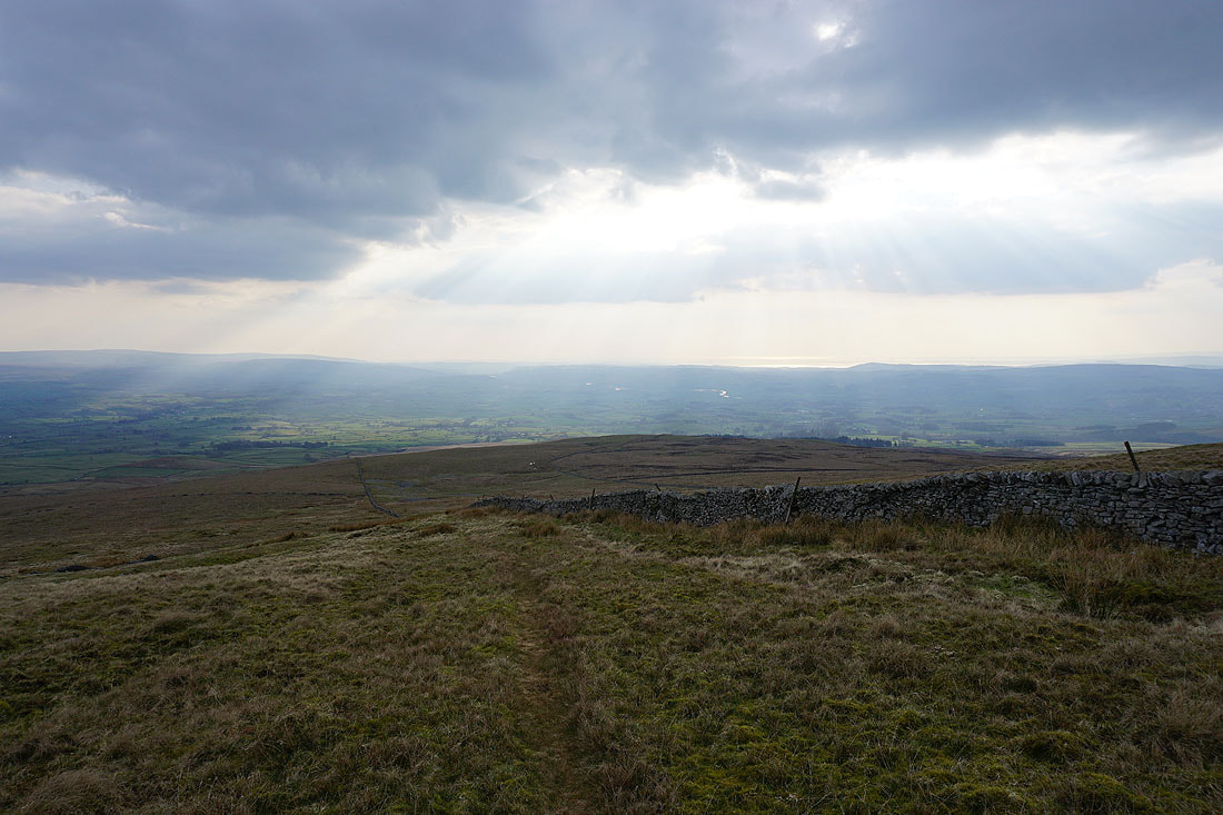
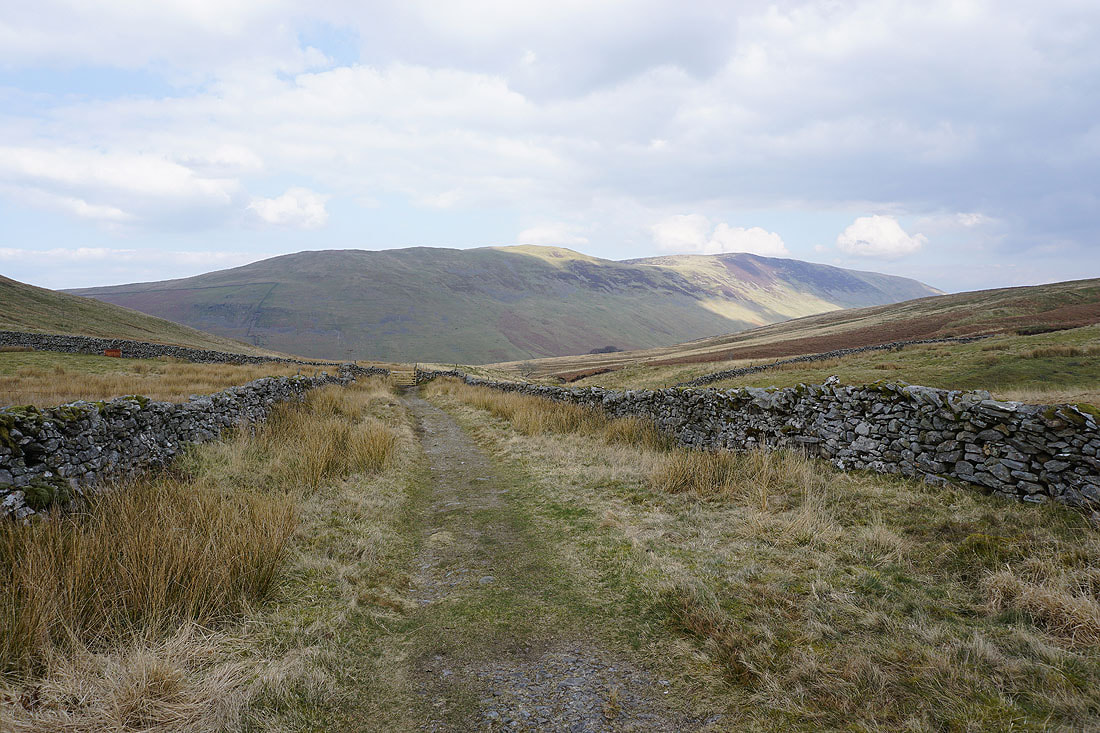
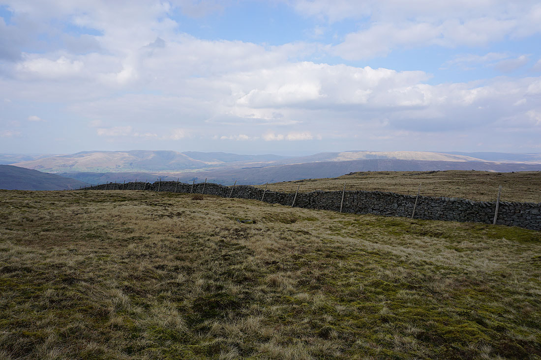
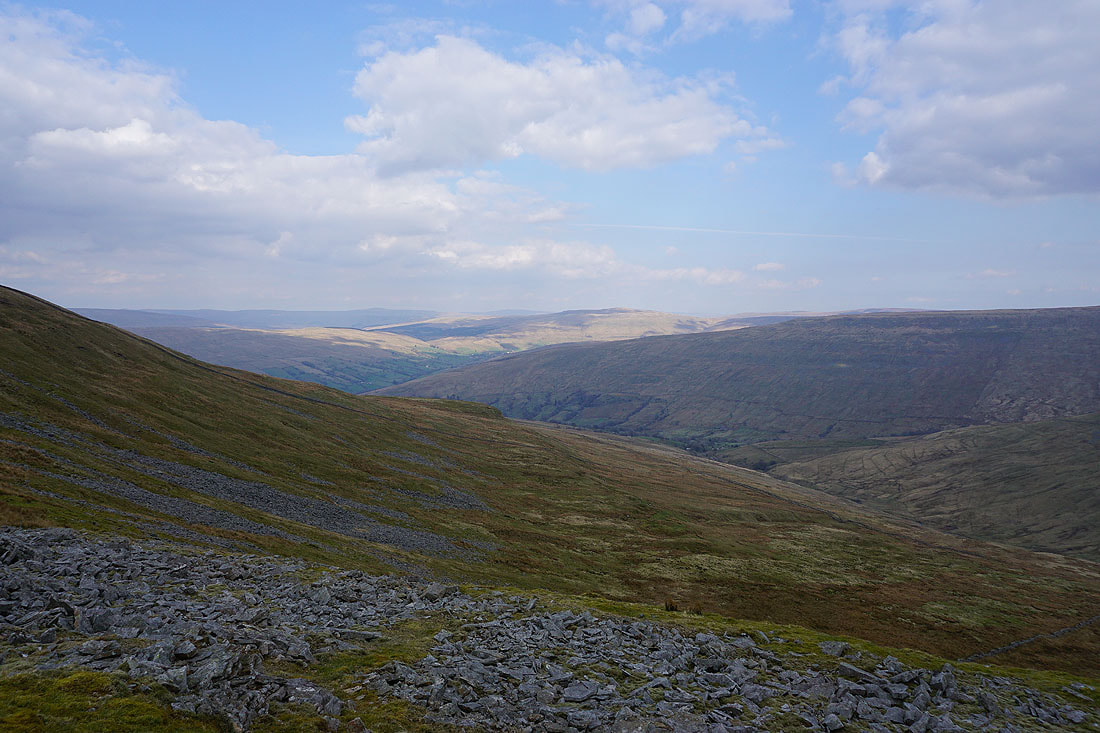
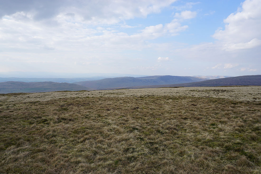
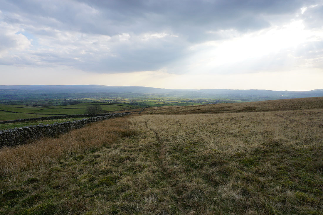
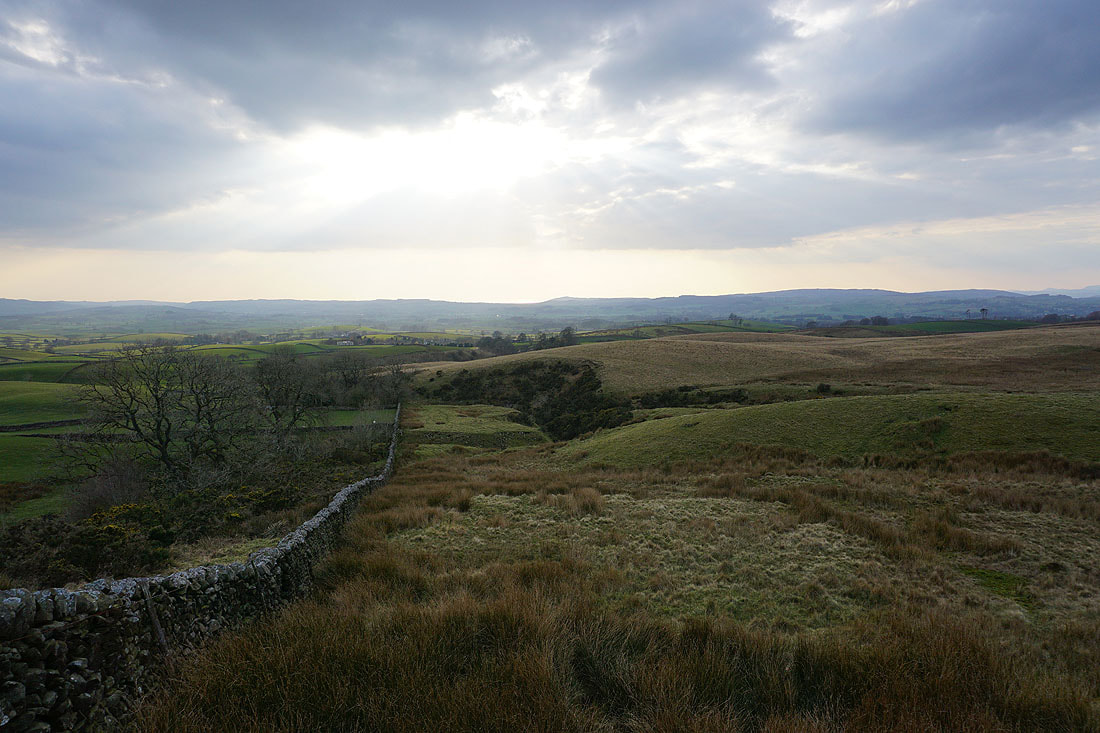
Lunesdale ahead of me as I follow the wall down Gragareth's south ridge
That stand of trees on the hillside to my left hides Marble Steps Pot
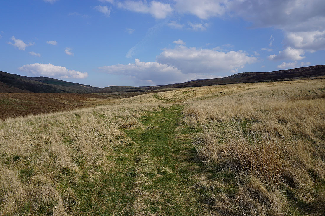
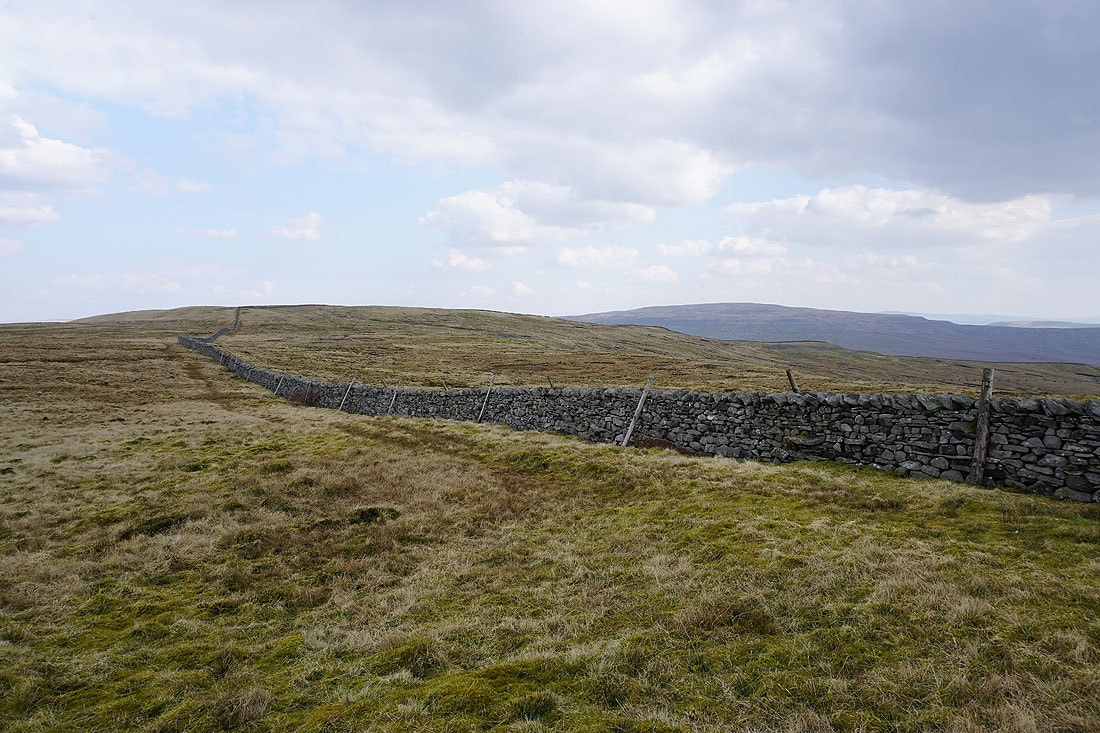
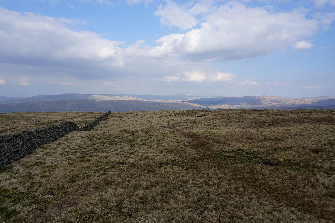
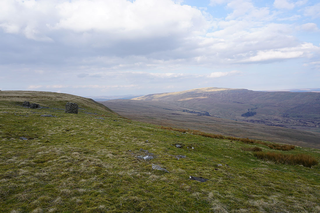
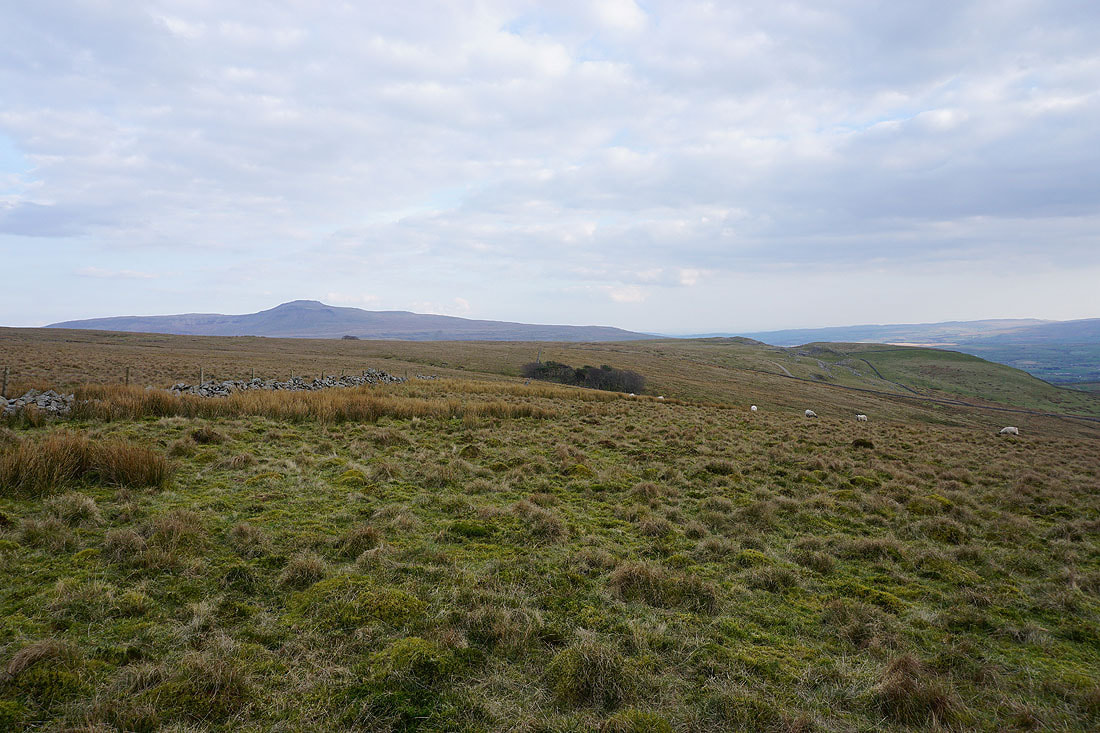
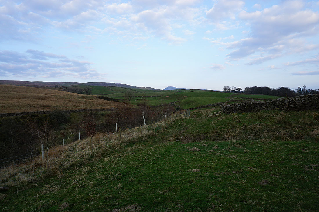
Heading down Ireby Fell..
Looking back up Ireby Fell to Gragareth
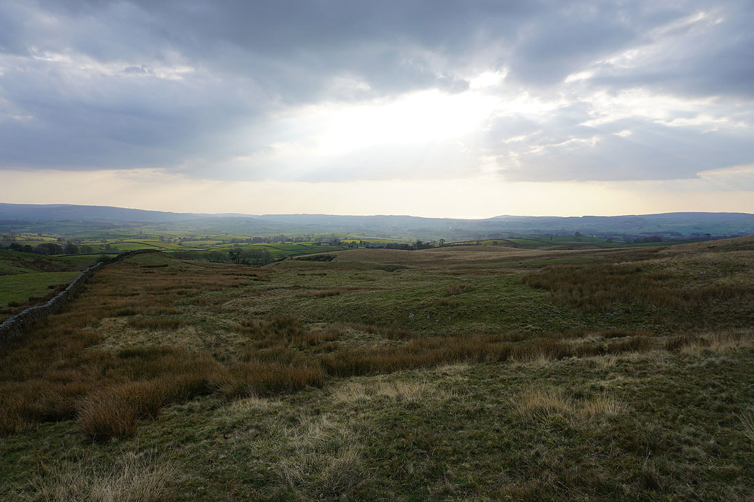
This was where I doubted my route finding skills. From my OS map I was expecting to find a route from the edge of access land to Masongill Fell Lane. After spending longer than I should have looking for it, I accepted that it either didn't exist or that access to it was denied. That meant trying to reach the public footpath that crossed the edge of access land by Ireby Beck. It wouldn't have been easy if it had been wet recently.
On the footpath above Ireby Beck. Looking back to the top of Ingleborough in the distance.
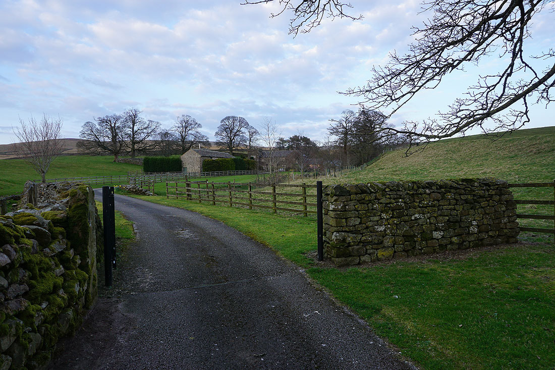
The footpath joins the driveway to Over Hall
In the hamlet of Ireby
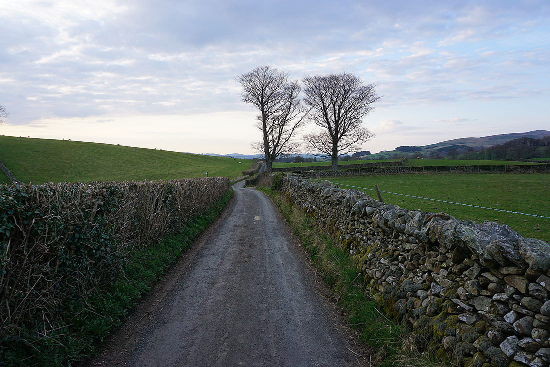
Walking along the road to Leck
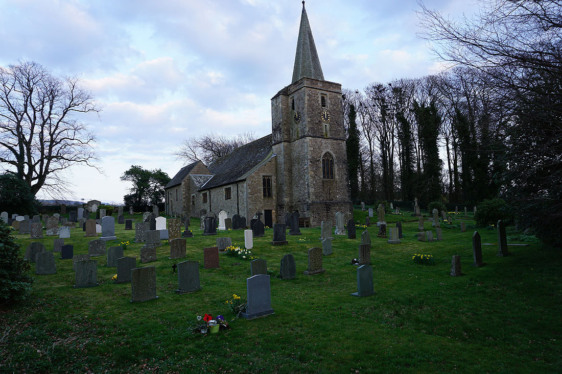
The church of St. Peter's in Leck
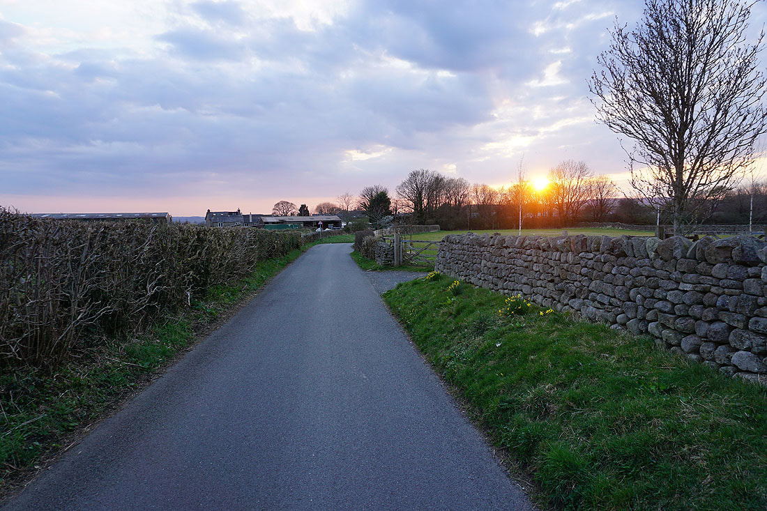
The sun is starting to set as I make it back to Cowan Bridge