26th March 2023 - Boulsworth Hill
Walk Details
Distance walked: 8.2 miles
Total ascent: 1506 ft
OS map used: OL21 - South Pennines
Time taken: 4 hrs
Route description: Wycoller-Pennine Bridleway-Pot Brinks Moor-Great Saucer Stones-Weather Stones-Boulsworth Hill-Abbot Stone-Pennine Bridleway-Lumb Laithe Farm-Lumb Spout-Lodge Moss Farm-Lodge Hill Farm-Wycoller Dean-Pennine Bridleway-Wycoller
After yesterday's mostly disappointing weather I thought today would be better, the forecast implied that it would be. Though it was mostly dry, there was a disappointing lack of sunshine. I decided to make the short drive to Wycoller late in the morning and do a walk up Boulsworth Hill, going by one of my most frequently used routes. Most of my time was spent under overcast skies, with just a little brightness every now and then, and while I was up on Boulsworth Hill the cloud was thick enough for a few flakes of snow to pass by in the cold northerly breeze.
From the car park outside Wycoller I walked down into the village, across the packhorse bridge and took the Pennine Bridleway east along the track by Wycoller Beck and above Smithy Clough. I kept on the Pennine Bridleway when it turned right and made its way southwest to cross Turnhole Clough and run above Saucer Hill Clough until it descended and reached the track to Mean Moss Farm. Here I left it behind and took to the open moor, following a path up Pot Brinks Moor to Great Saucer Stones. After a stop to take in the view I made my way across the moor to the trig point on the top of Boulsworth Hill, for another stop to take in the view. I then made my way down by the path past the Abbot Stone and back to the Pennine Bridleway, which I followed east until I reached Lumb Laithe Farm, where I took a footpath on the left down some fields and across a brook to Lodge Moss Farm. I made a short diversion to see the waterfall of Lumb Spout along the way. There was then a short walk up a road to Lodge Hill Farm where I took a footpath on the left and followed it east across the moor to Wycoller Dean. I then took paths down to Wycoller Beck, which I crossed by the clapper bridge, and made my way back to Wycoller by the Pennine Bridleway, and from there back up the path to the car park.
Route map
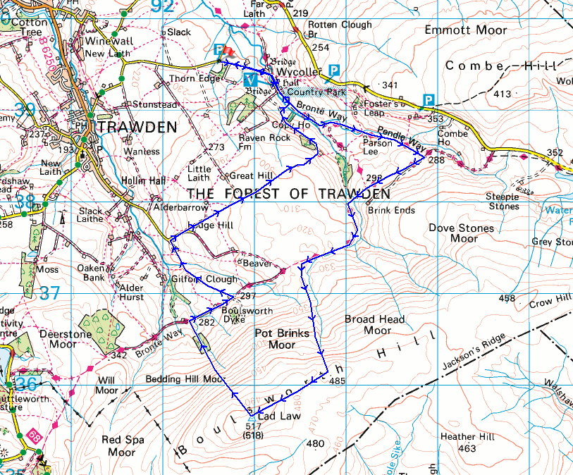
© Crown copyright. All rights reserved. License number PU 100034184.
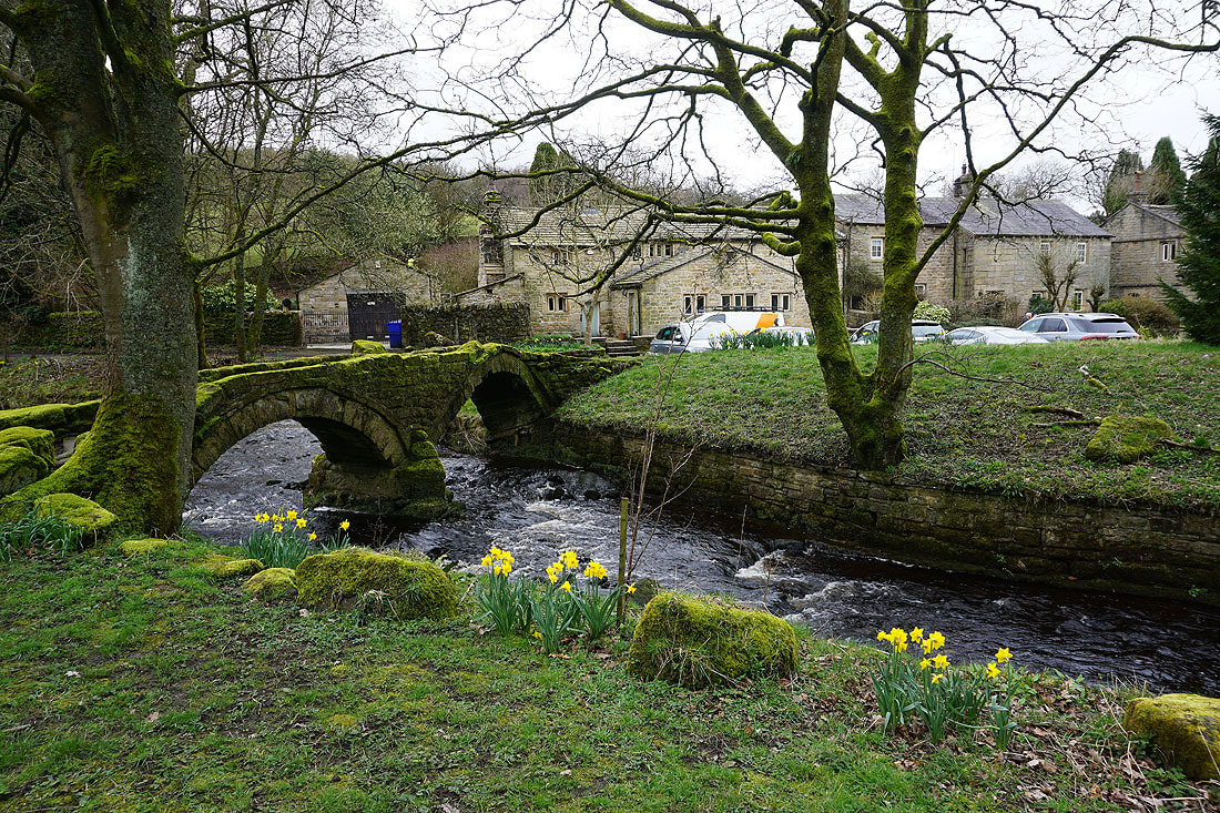
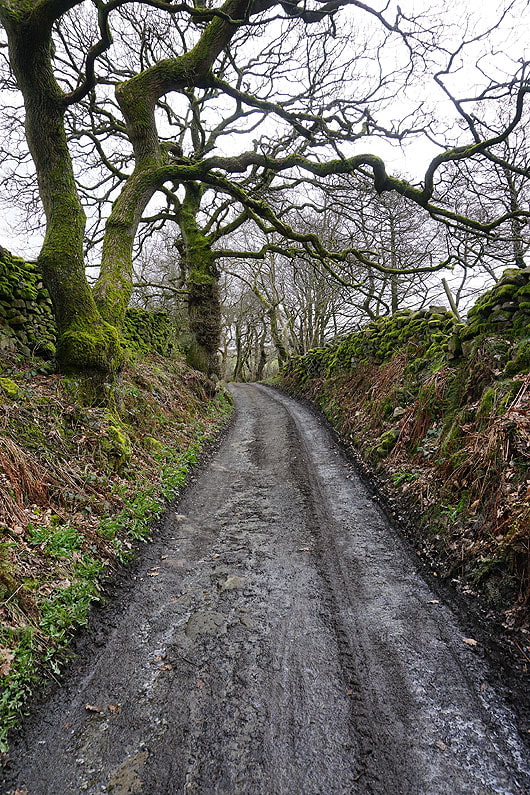
The packhorse bridge over Wycoller Beck in the hamlet of Wycoller
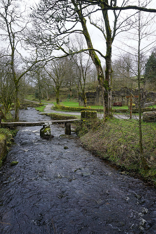
The clapper bridge over Wycoller Beck
The hillside of Fosters Leap above as I join the Pennine Bridleway
Waterfalls on Smithy Clough Beck as I follow the Pennine Bridleway up Smithy Clough...
|

|
From the top of Smithy Clough I follow the Pennine Bridleway west towards Turnhole Clough

Wycoller Dean from above Dean House Farm
Down into and across Turnhole Clough..

..and up Saucer Hill Clough
To my right, looking across Fence Moor to Pendle Hill on the left and a distant Ingleborough on the right

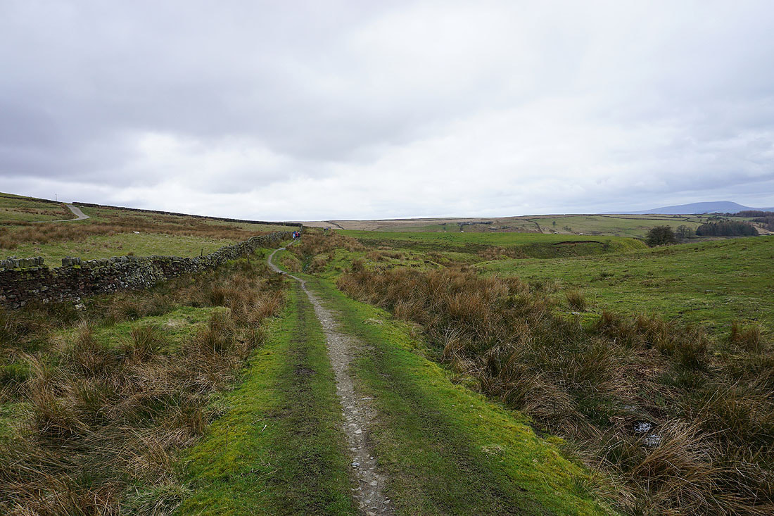
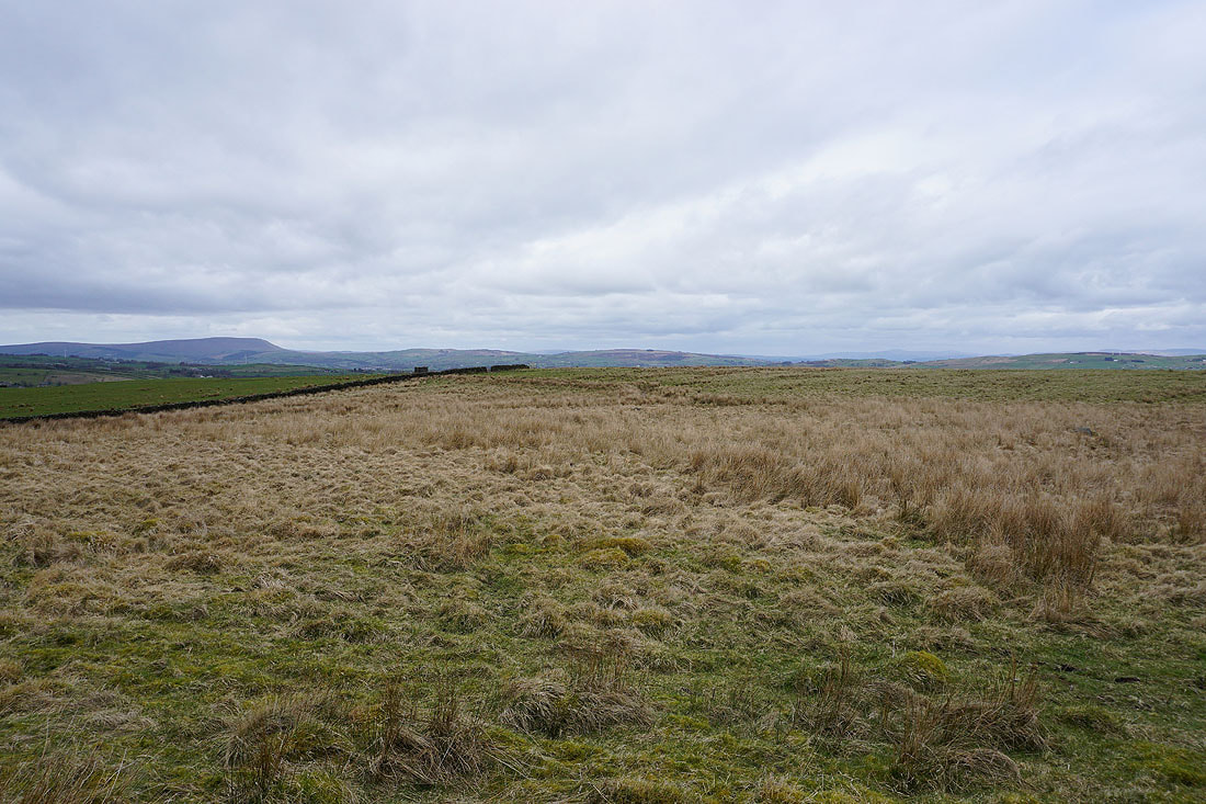
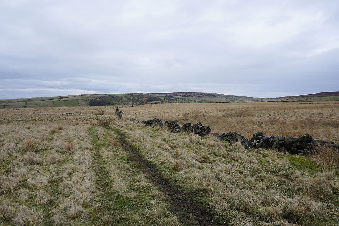
The Pennine Bridleway is left behind for an ascent of Pot Brinks Moor to Great Saucer Stones
Improving views to Pendle Hill as I gain height
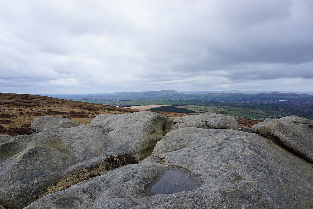
At Great Saucer Stones and looking north to the distant Yorkshire Dales. It looks like there might be a bit of wintry precipitation falling from the clouds over there.
The summit is not far away
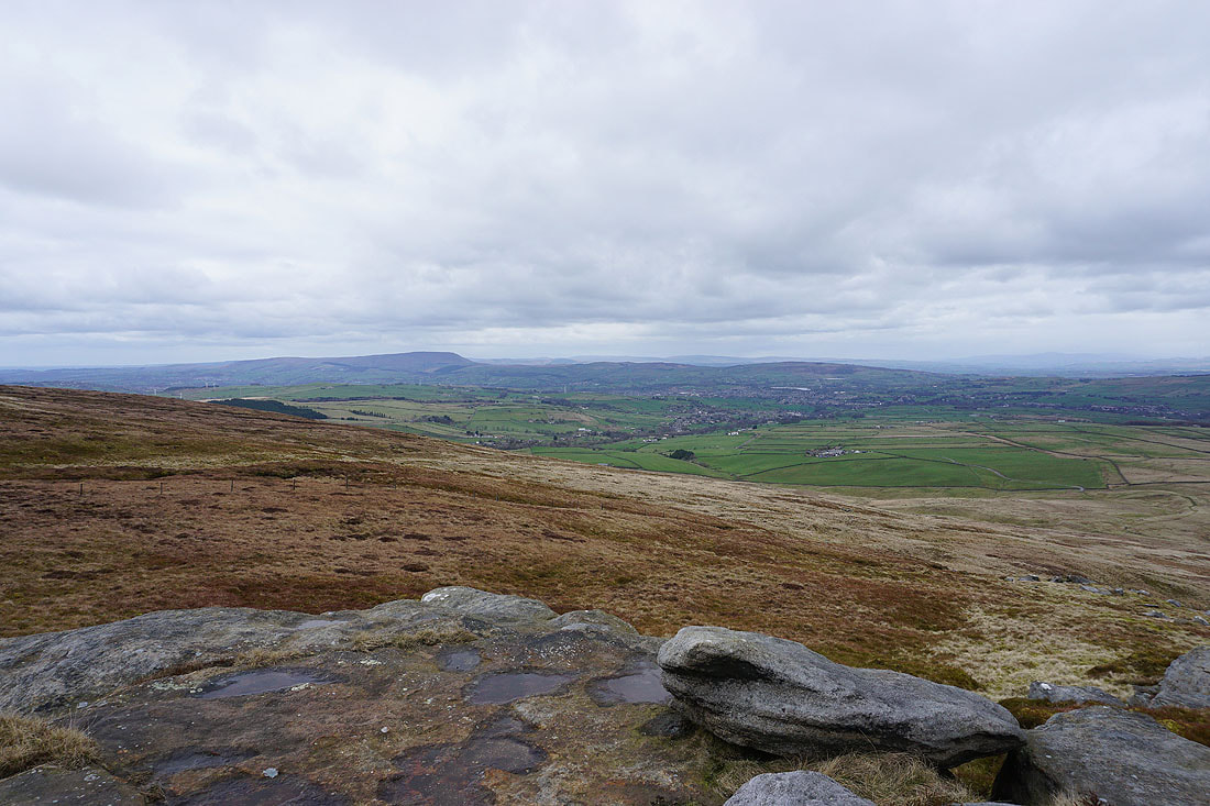
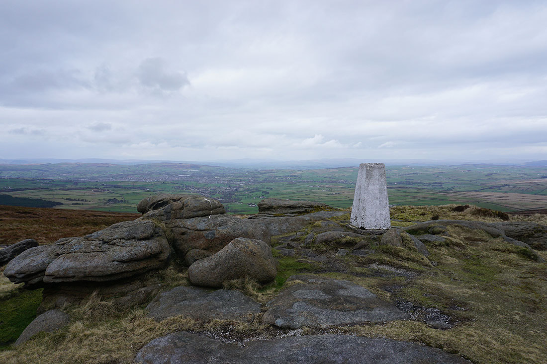
Pendle Hill and the Forest of Trawden
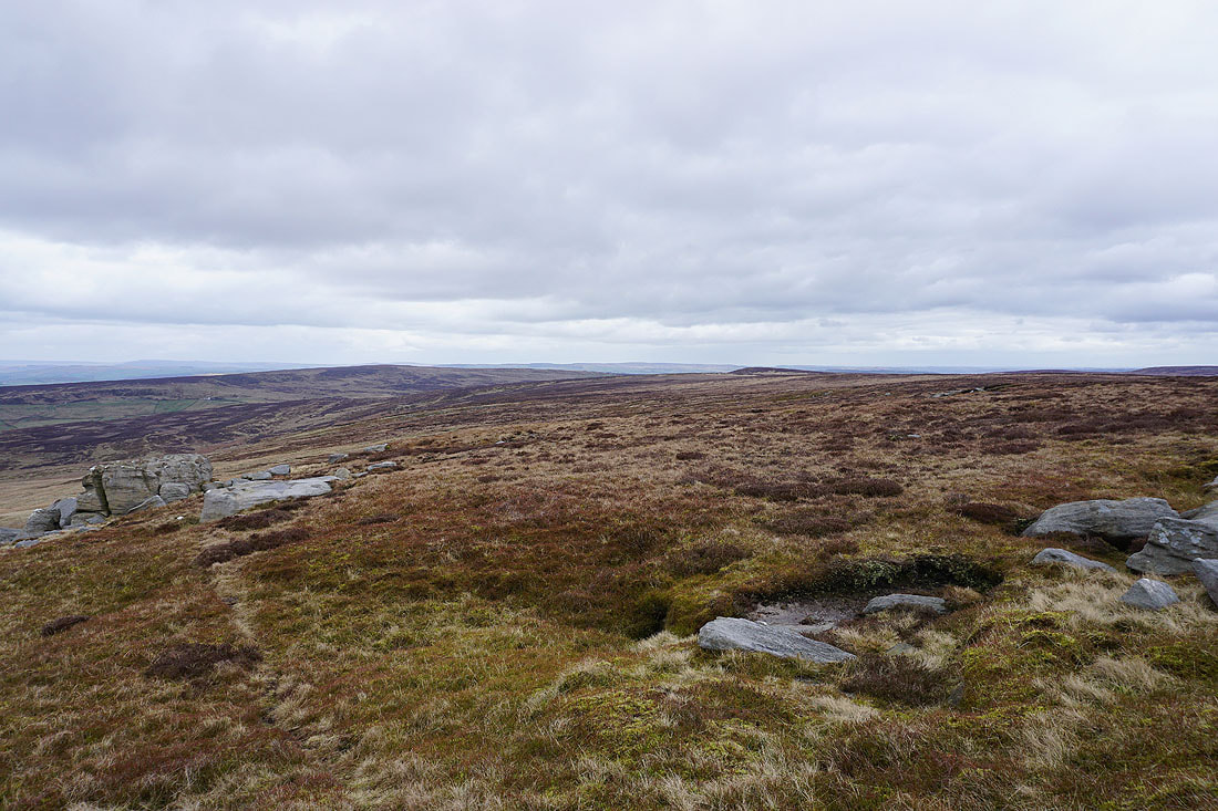
Looking east to Wolf Stones and Crow Hill
Pendle Hill from Weather Stones
Withins Height, Wadsworth Moor, and Heptonstall Moor from Weather Stones
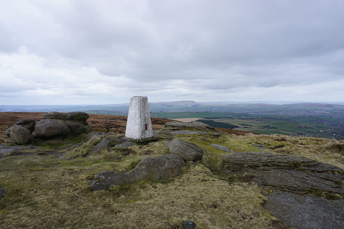
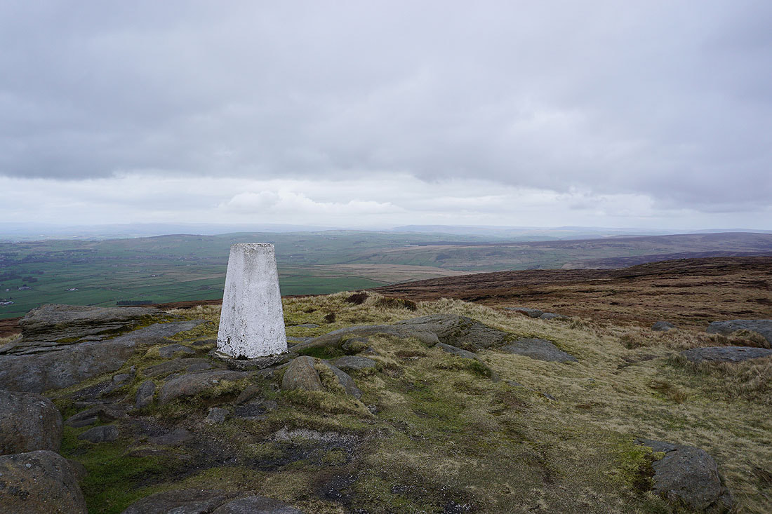
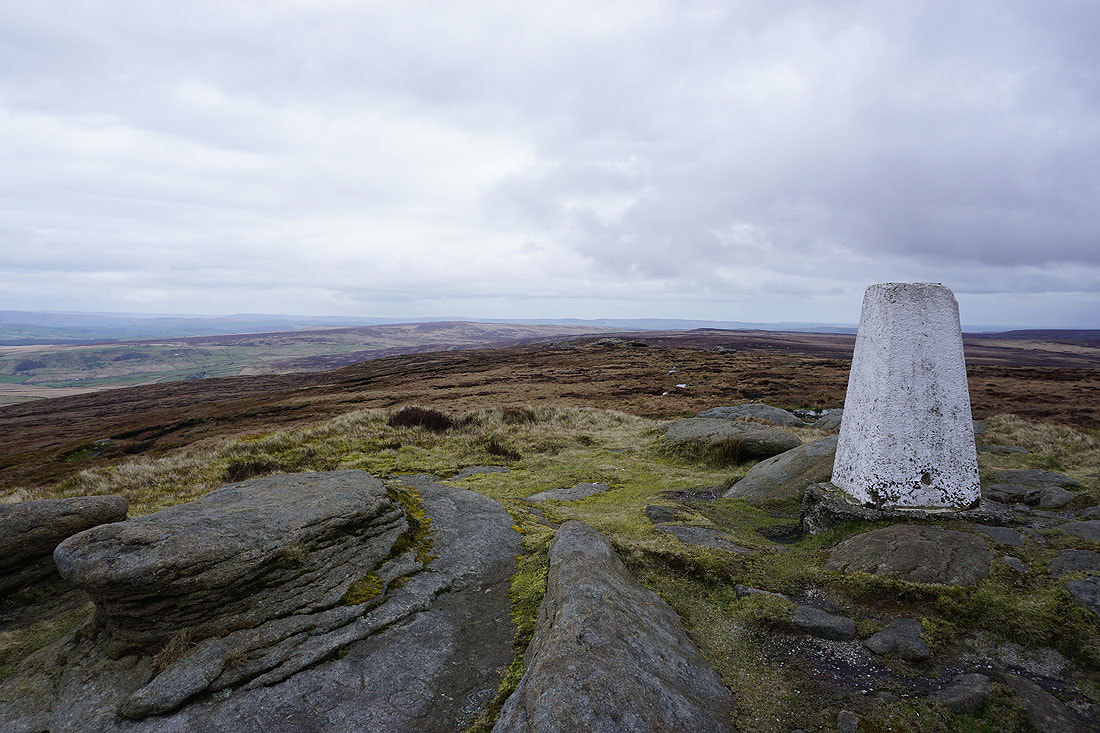
Pendle Hill from the trig point on Boulsworth Hill
Looking north and northeast to Kelbrook Moor, Pinhaw Beacon, Barden Moor, and Combe Hill. With a few flakes of snow in the wind the visibility isn't as good as it was.
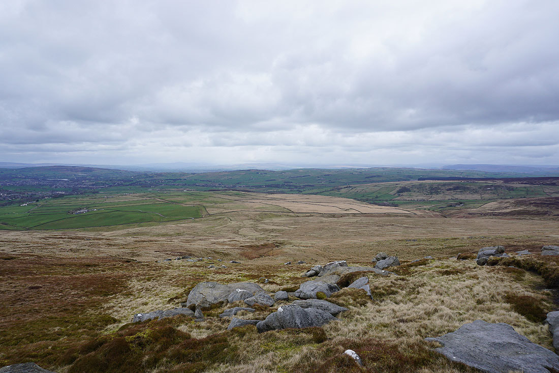
Hoof Stones Height, Thieveley Pike, and Hameldon Hill to the southeast
Looking north across the Forest of Trawden I can just make out Ingleborough and Penyghent in the distance
Wolf Stones and Crow Hill to the east
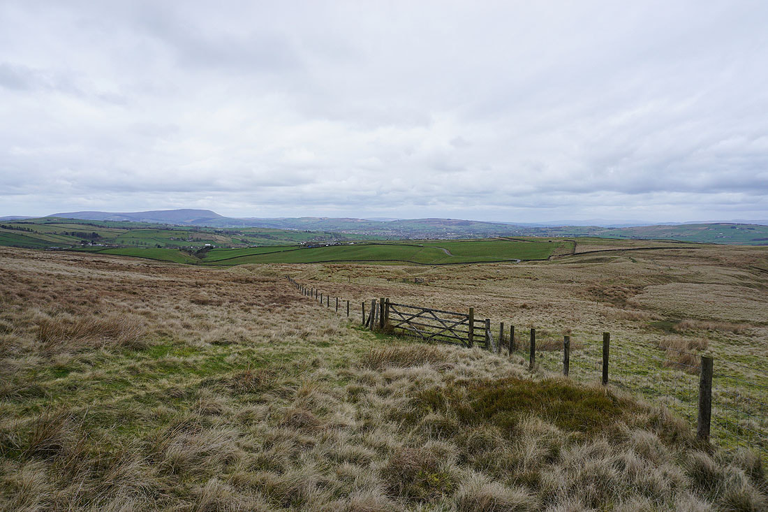
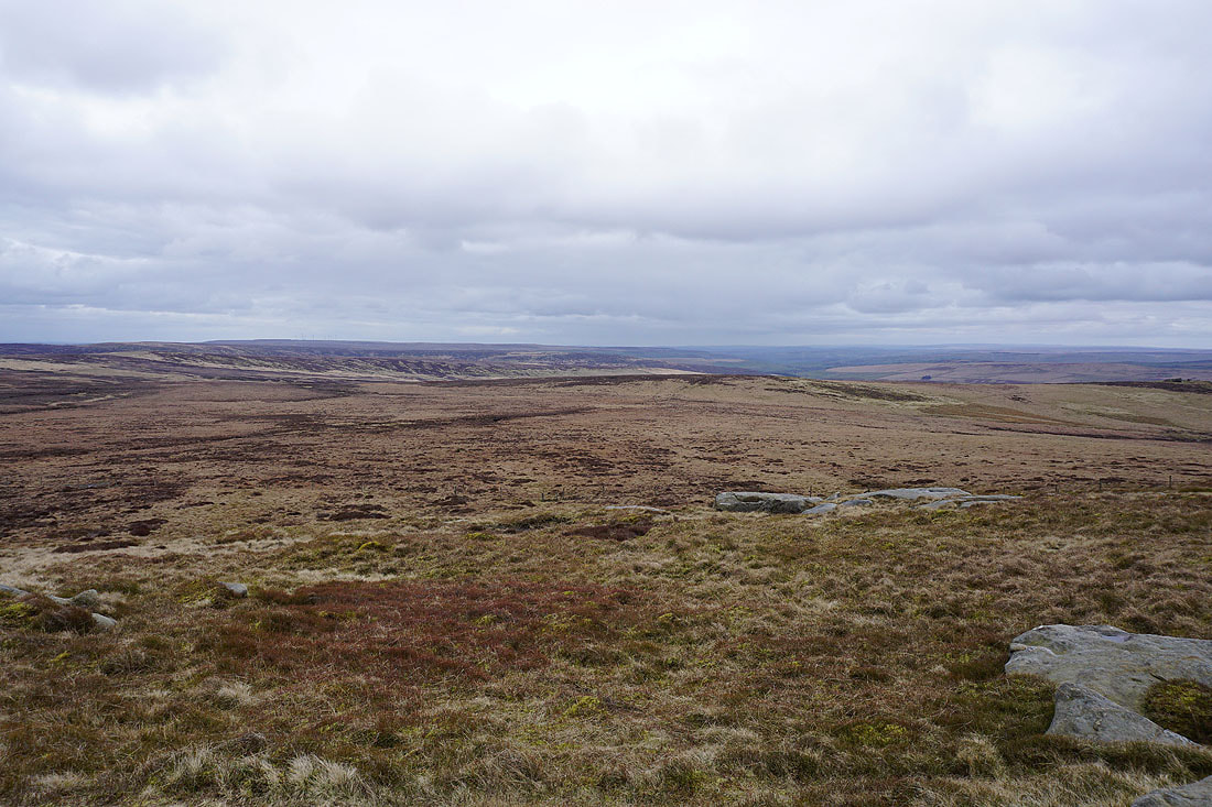
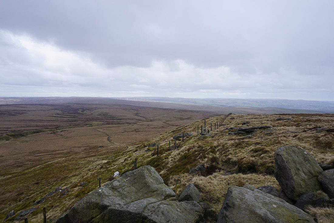
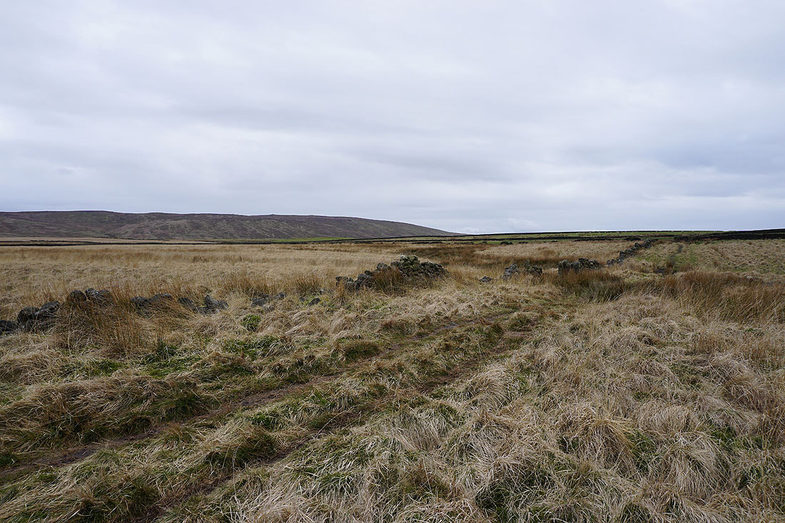
Heading down from Boulsworth Hill, and back to the Pennine Bridleway

I soon leave the Pennine Bridleway and take a footpath north across fields to Lodge Moss Farm
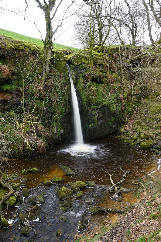
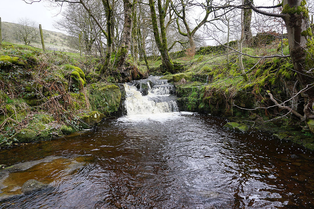
On the way there I make a short detour to see the waterfall of Lumb Spout
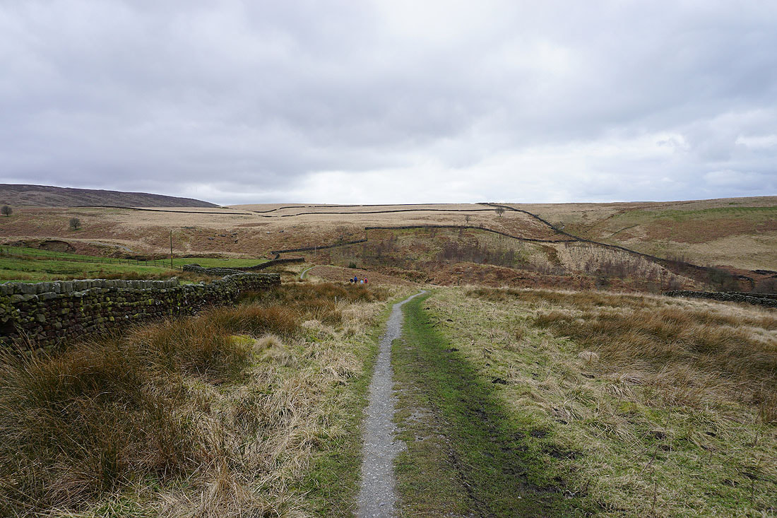
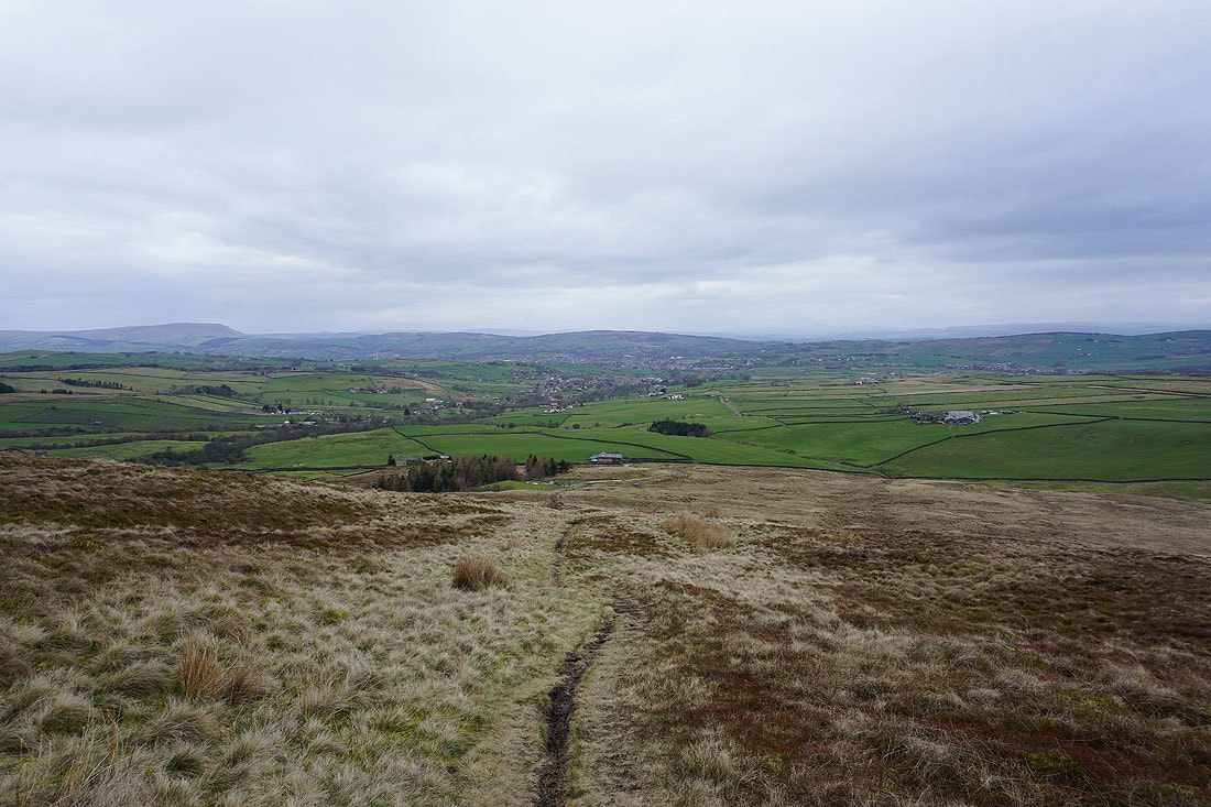
Looking north to Pendle Hill and Trawden as I take the footpath across the moors to Wycoller Dean
The hillside of Foster's Leap ahead as I approach Wycoller Dean
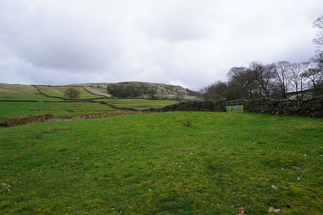
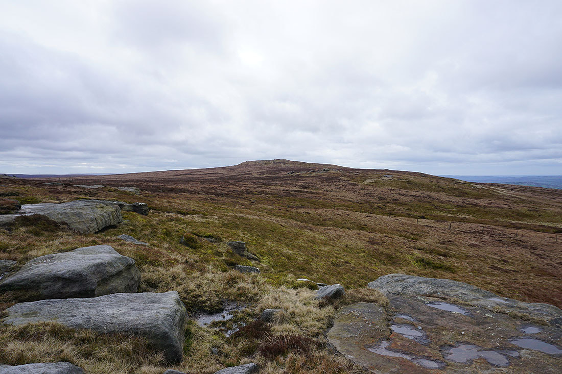
The top of Boulsworth Hill rises above the surrounding moor

Heading down into Wycoller Dean
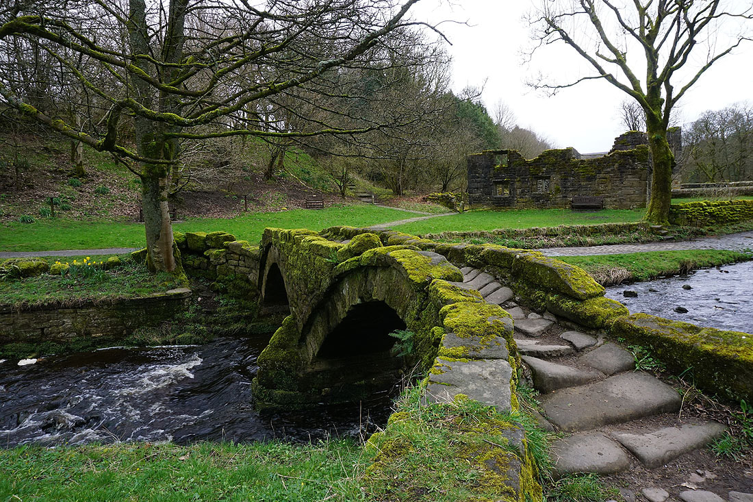
The packhorse bridge and the ruins of Wycoller Hall as I arrive back in Wycoller