26th May 2008 - A Martindale Round
Walk Details
Distance walked: 11.6 miles
Total ascent: 3338 ft
OS map used: OL5 - The English Lakes, North-eastern area
Time taken: 6.5 hrs
Route description: Martindale Church-Steel End-Steel Knotts-Wether Hill-High Raise-Rampsgill Head-Angle Tarn-Boredale Hause-Boredale-Martindale Church
A long walk around Martindale taking in Steel Knotts, Wether Hill, High Raise, Rampsgill Head and Angle Tarn.
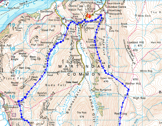
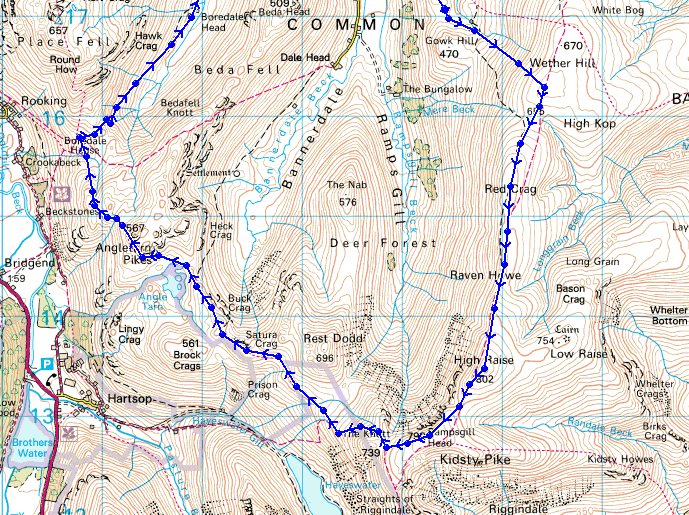
From where I parked by Martindale Church I took the footpath around to Steel End to climb to the summit of Steel Knotts. I then joined the far eastern ridge at Wether Hill to climb to the summit of High Raise. Rampsgill Head was the last summit before the long walk back by Angle Tarn, Boredale Hause and down Boredale.
Route map
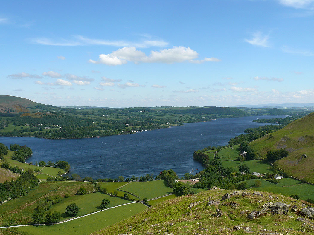
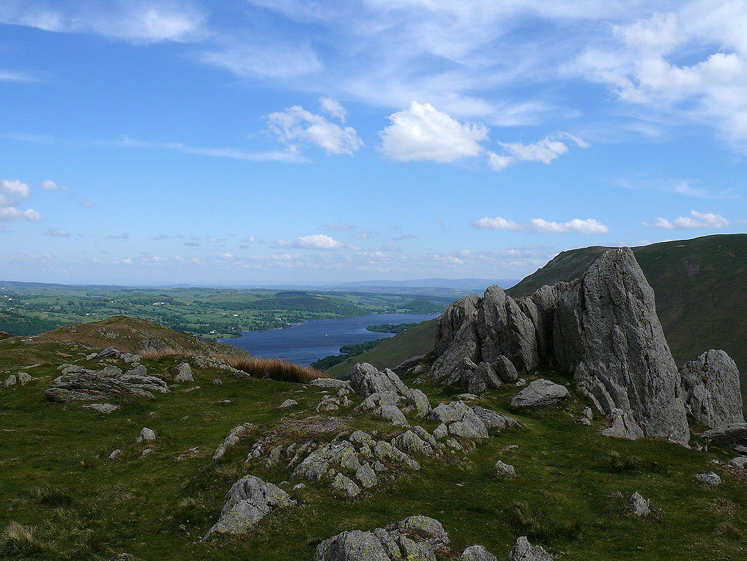
After leaving Martindale Church where I'd parked my car I've followed the path to Howtown to gain the ridge of Steel Knotts. A view of Ullswater as I start the climb.
Martindale Church is in the trees
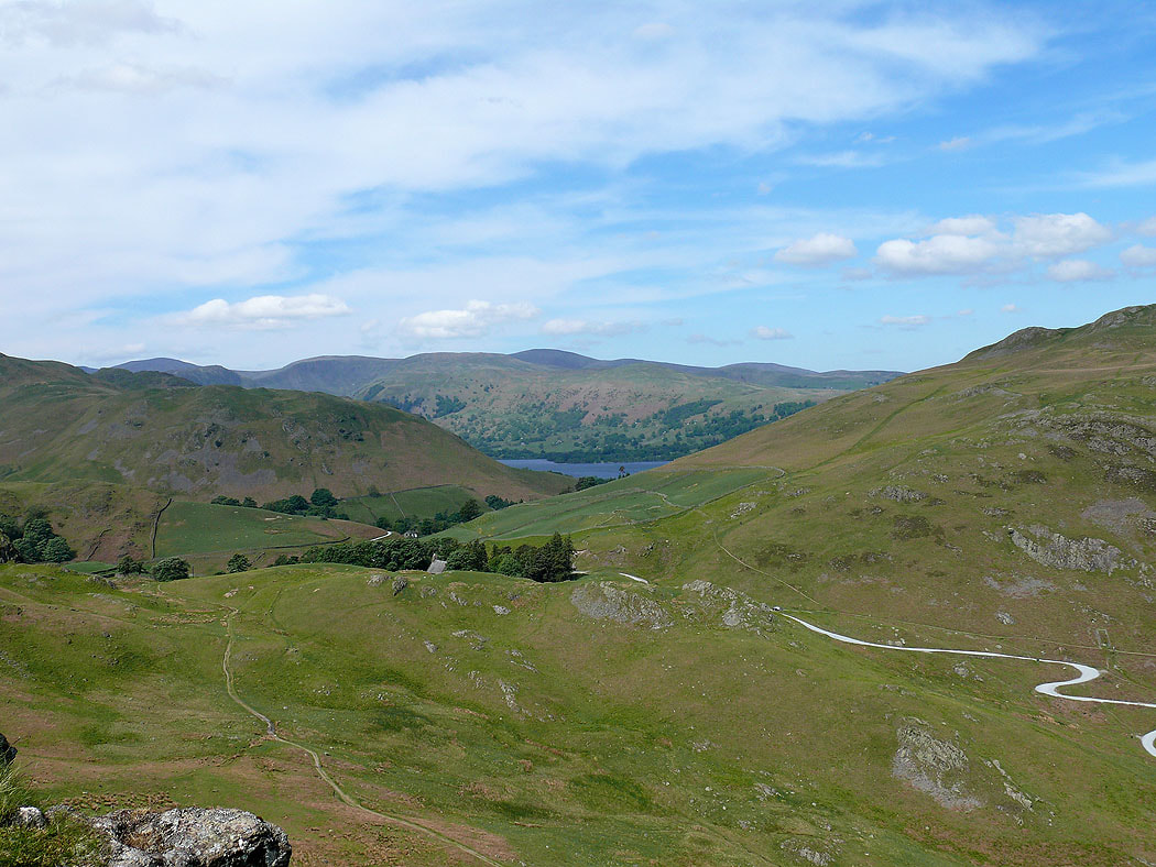
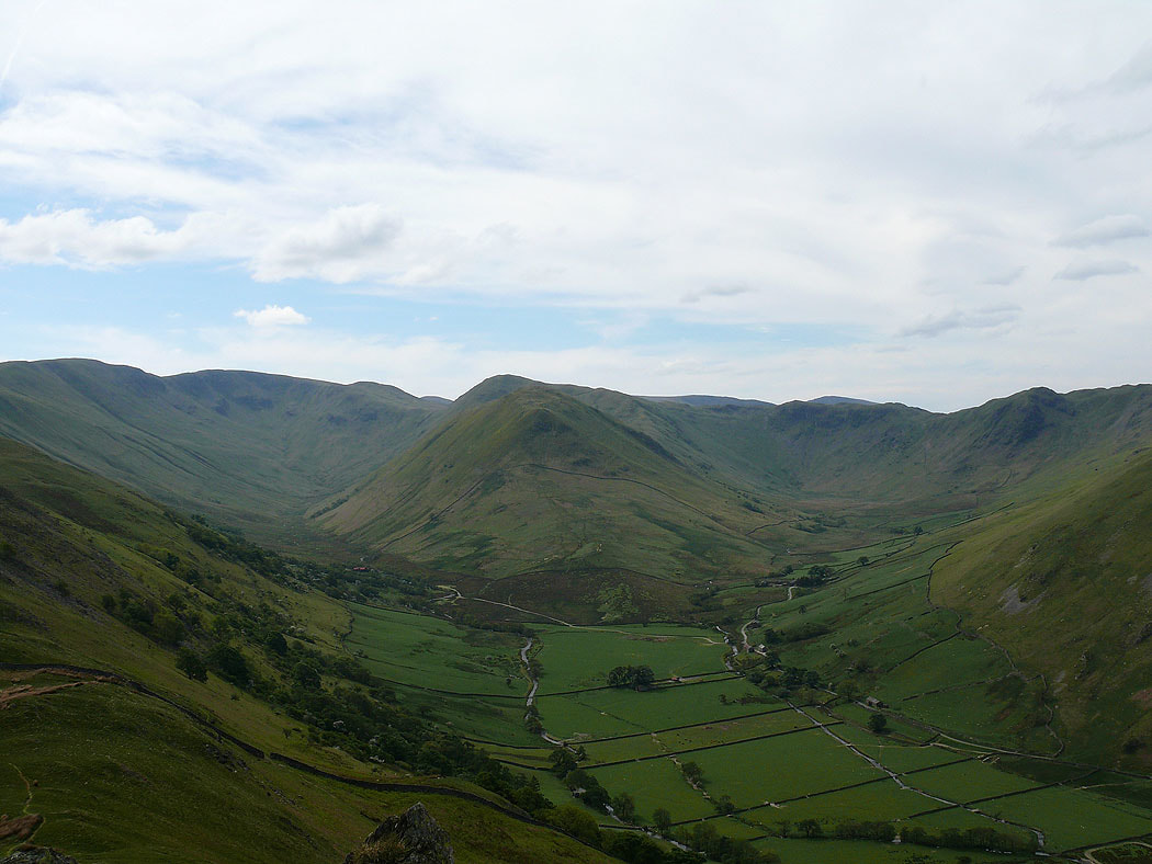
The view up Martindale to where it splits into Ramps Gill on the left and Bannerdale on the right
Pikeawassa, the summit of Steel Knotts
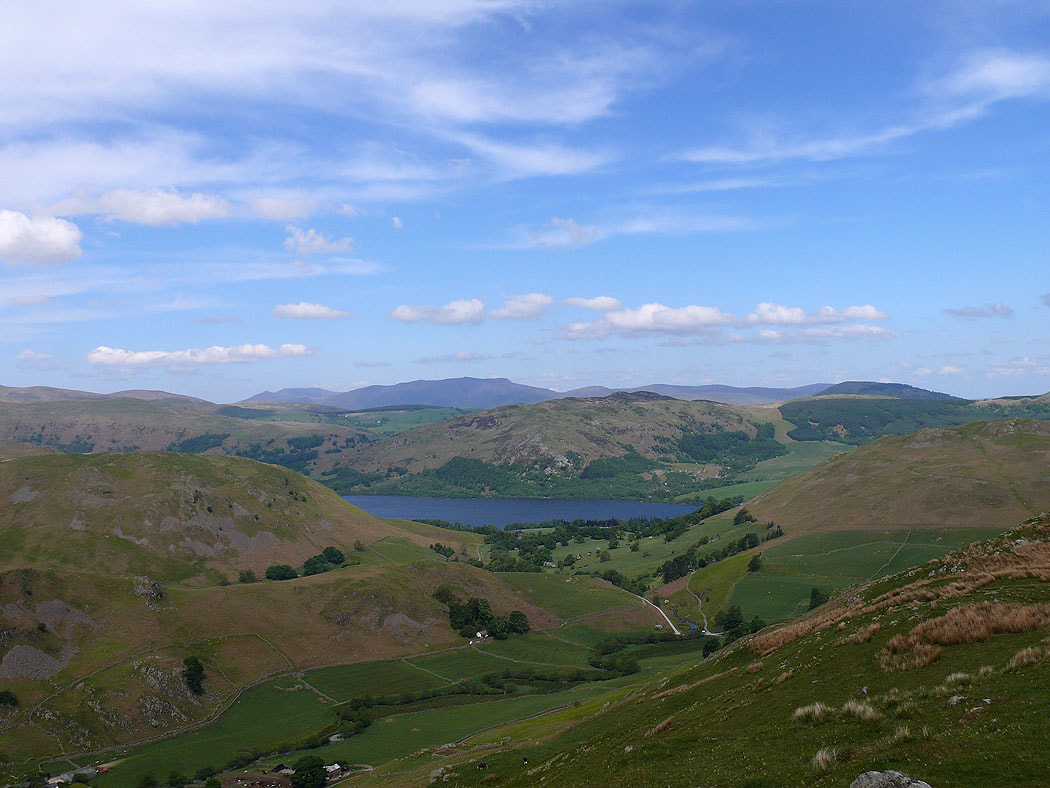
Blencathra in the distance over the top of Gowbarrow Fell
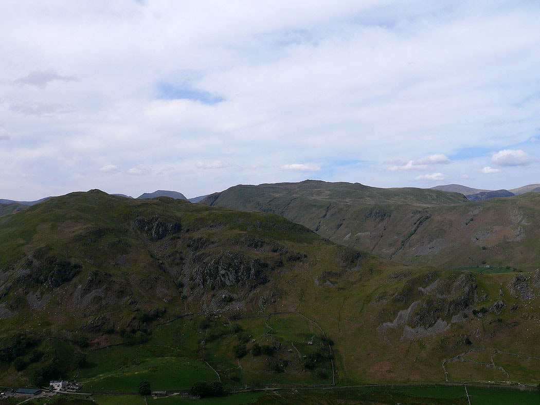
Beda Fell on the other side of Martindale with Place Fell behind
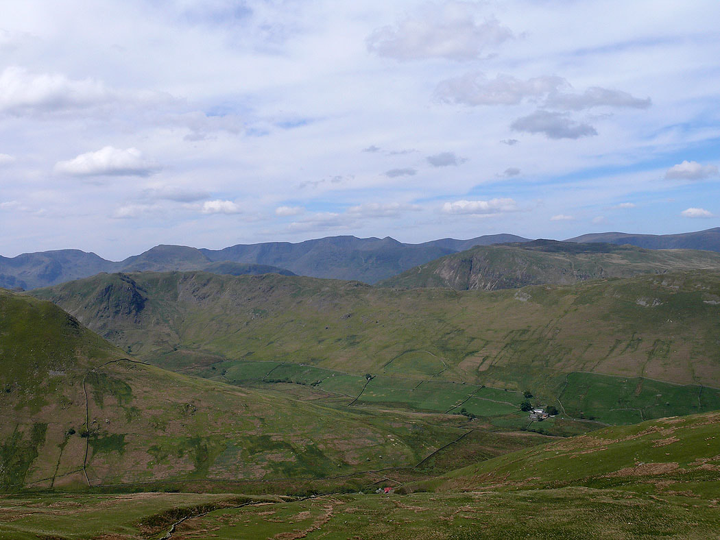
From Steel Knotts I making my way up to the Loadpot Hill to High Raise ridge at Wether Hill. The view across the end of The Nab, Bannerdale and the Angletarn Pikes-Beda Fell ridge to Helvellyn and the eastern fells.
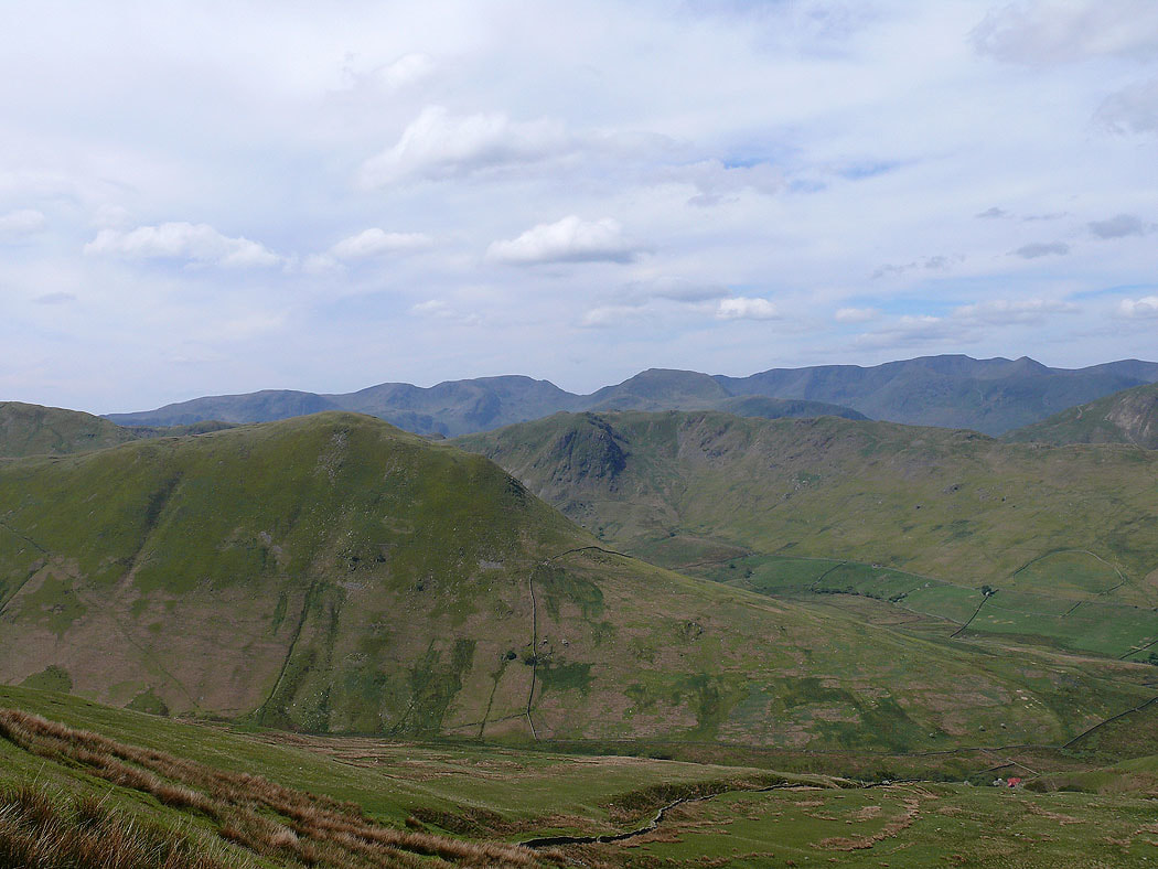
A little to the left and you can see The Nab with Dove Crag, Hart Crag and Fairfield behind
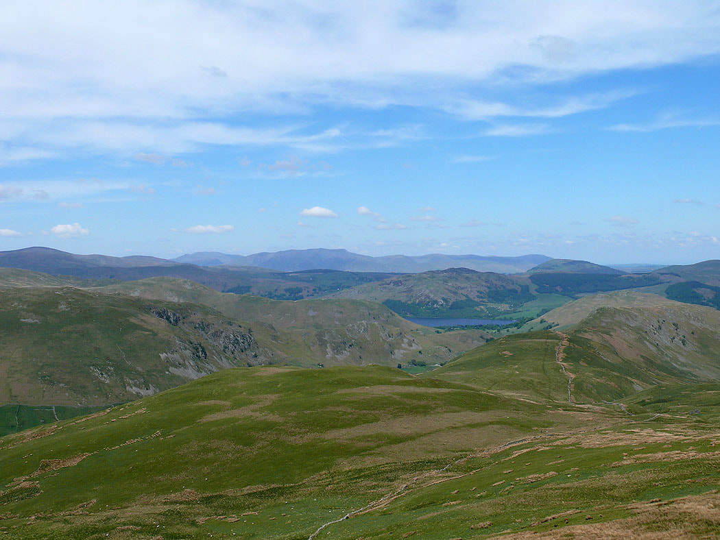
The view to the northwest to Skiddaw, Blencathra and the northern fells. Steel Knotts is below on the right.
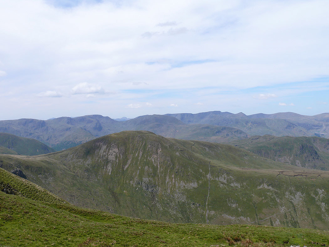
Approaching High Raise and I've a got a great view over Rest Dodd to Fairfield and Helvellyn. In the gap of Grisedale Hause you can even make out the domed top of Great Gable.
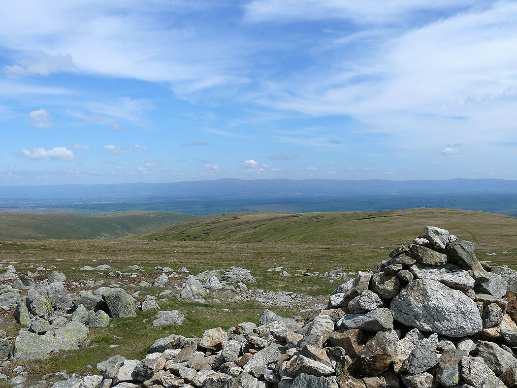
Cross Fell and the North Pennines from the summit of High Raise
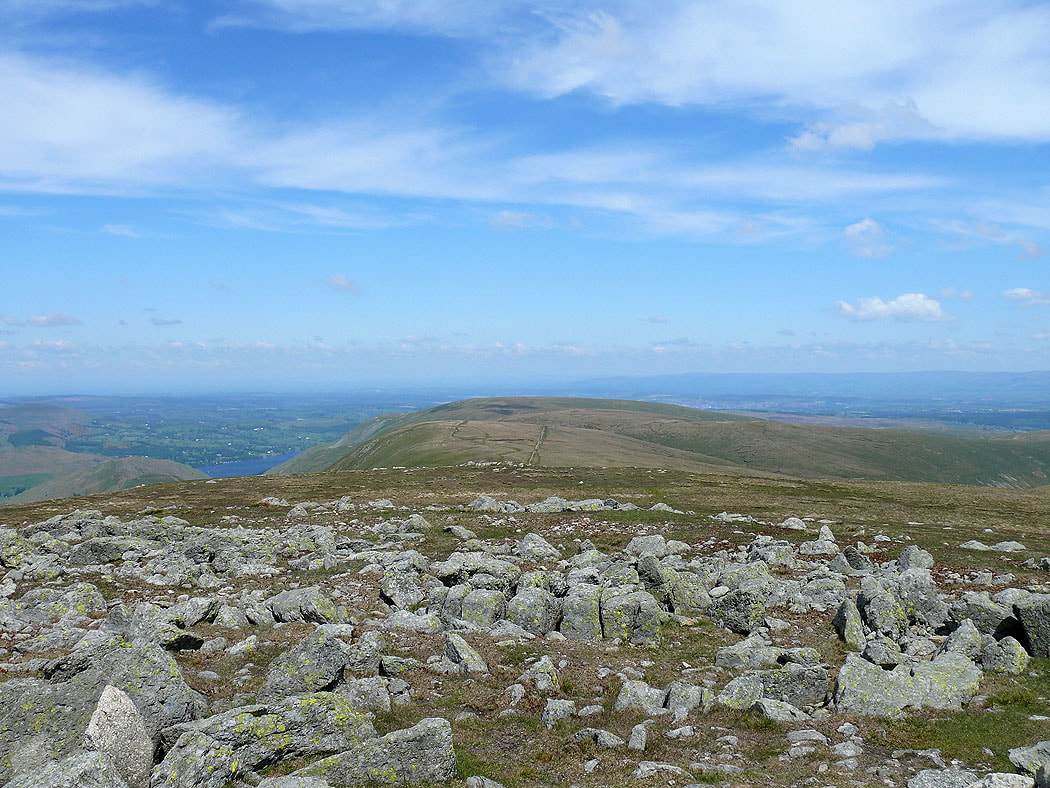
and looking north along the ridge to Loadpot Hill
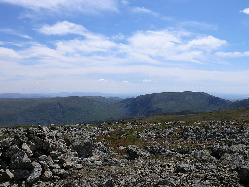
Branstree and Harter Fell
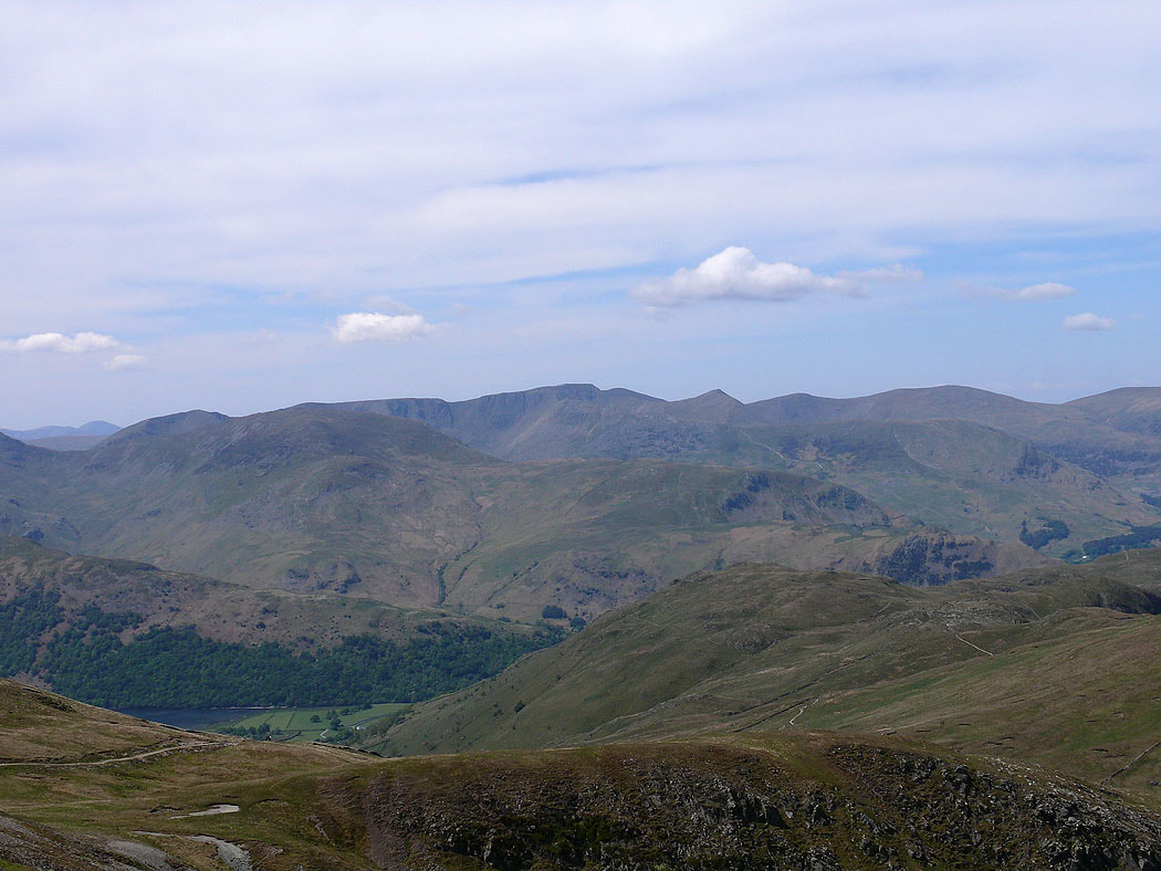
From High Raise I made my way around the head of Ramps Gill to Rampsgill Head. The view across to Fairfield and Helvellyn.
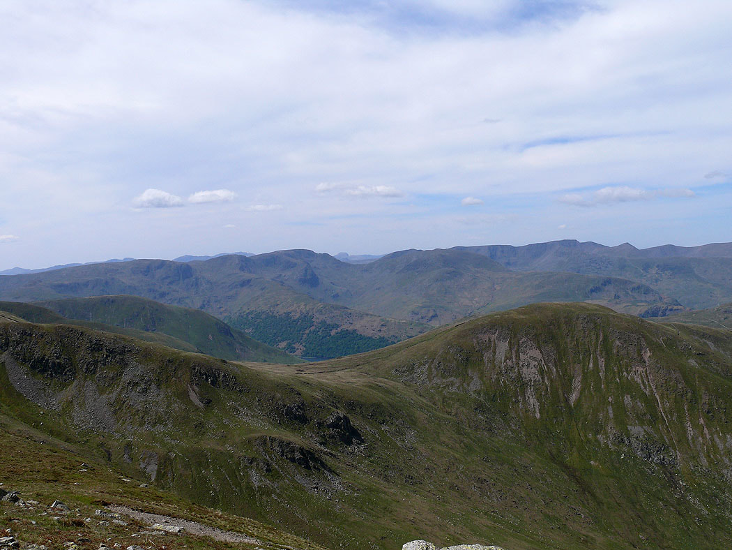
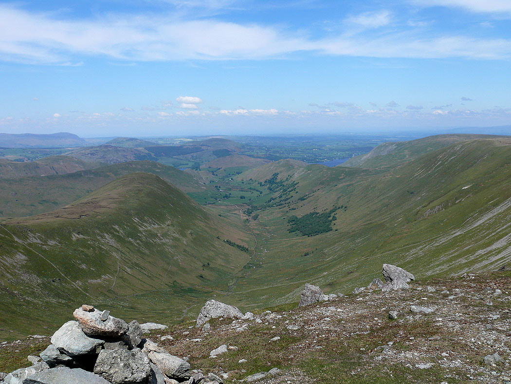
Ramps Gill and Martindale
Zooming in on Helvellyn
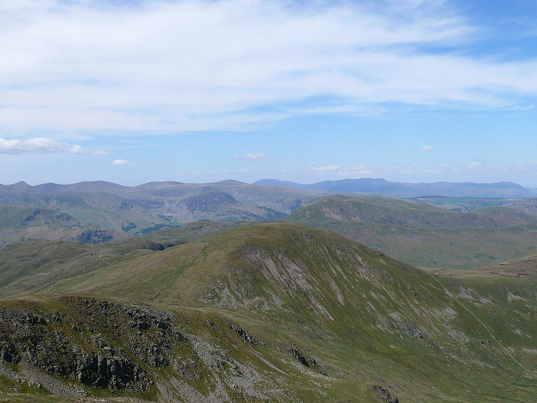
The Dodds, Skiddaw and Blencathra with the rounded summit of Rest Dodd in the foreground
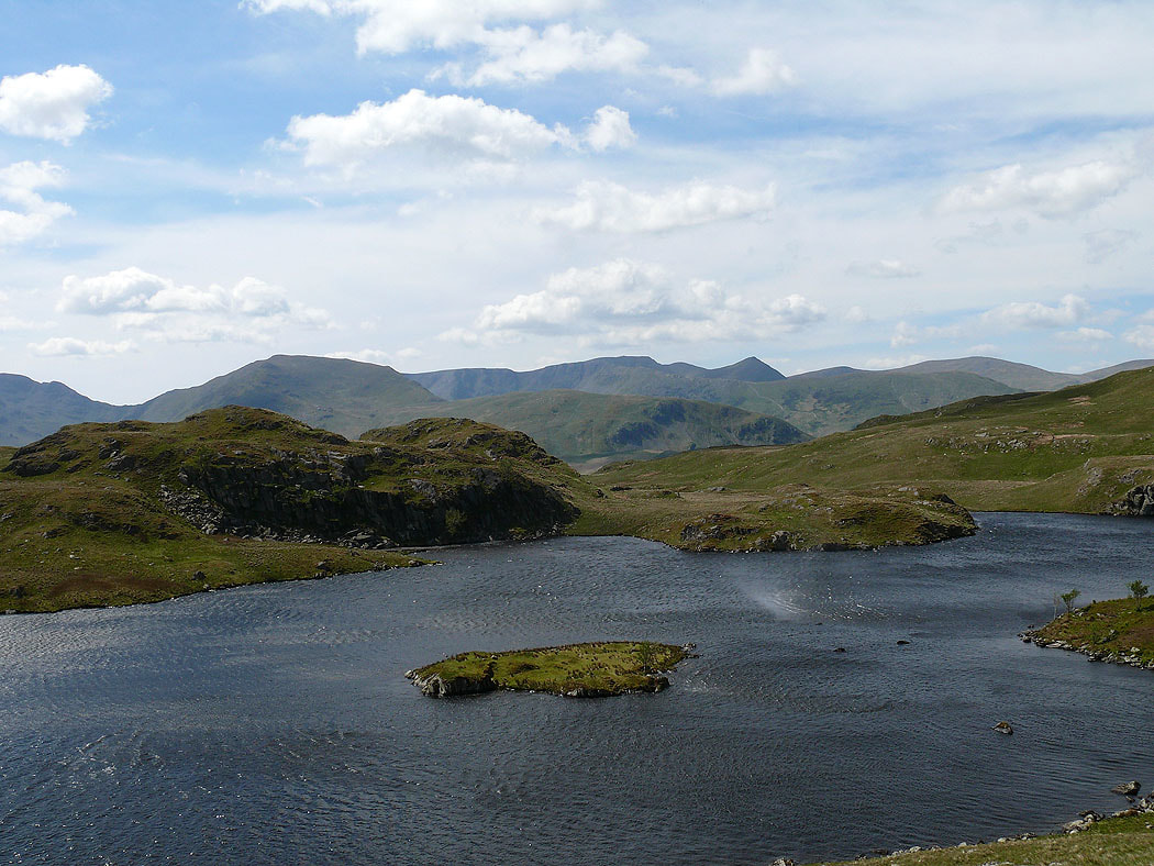
After Rampsgill Head I followed the path to Angle Tarn. St Sunday Crag and Helvellyn make a great backdrop. A sign of just how windy it was today is the spray being whipped up off the surface of the tarn.
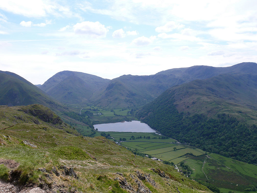
Brothers Water from the path to Boredale Hause. Red Screes, Little Hart Crag and Dove Crag in the background.
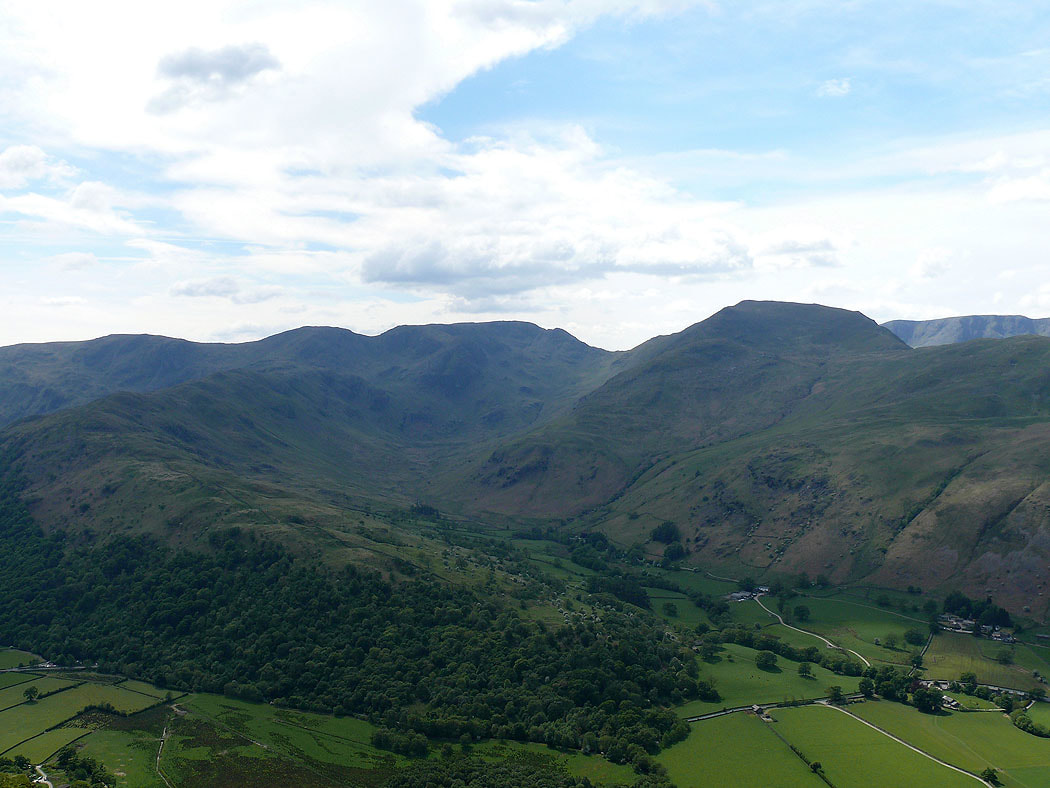
The ridge of Hartsop-above-How leading up to Hart Crag, Fairfield and St Sunday Crag
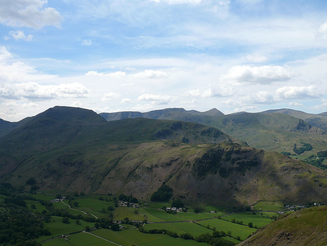
St Sunday Crag and Helvellyn. Now for the long walk past Boredale Hause and down Boredale back to Martindale Church.
