26th May 2014 - Bride Stones Moor
Walk Details
Distance walked: 7.1 miles
Total ascent: 1267 ft
OS map used: OL21 - South Pennines
Time taken: 5 hrs
Route description: Lobb Mill picnic area-Matthew Lane-Calderdale Way-Chisley Stones-Eastwood Road-Bride Stones Moor-Orchan Rocks-Calderdale Way-Cross Stone-Lobb Mill picnic area
Before I left home this morning the forecast had been for rain to arrive by the middle of the afternoon. So I had a fairly early start for a walk this close to home to fit it in before the rain came. As you'll see below it never arrived and as I made my way round I came to the conclusion that it wouldn't and I started to take my time.
From the picnic area at Lobb Mill on the A646 a path heads steeply up the hillside, past some buildings and up a driveway. I then used a combination of tracks, a road and the Calderdale Way to reach Eastwood Road. A short detour was taken onto Chisley Stones and then I followed Eastwood Road to reach Bride Stones Moor. From the Bride Stones I made my way down to the Calderdale Way but before heading back I paid Orchan Rocks a visit. I then followed the Calderdale Way across the hillside and onto a bridleway past Todmorden Golf Club. From the entrance to the golf club I had a bit of a road walk to reach another bridleway that took me to the path back down to the picnic area.
Route map
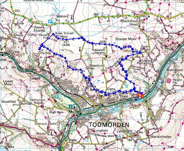
© Crown copyright. All rights reserved. License number PU 100034184.
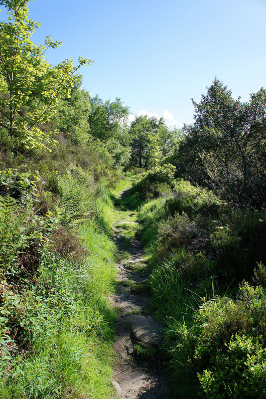
A steep path heads uphill from the picnic site
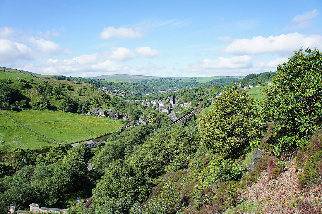
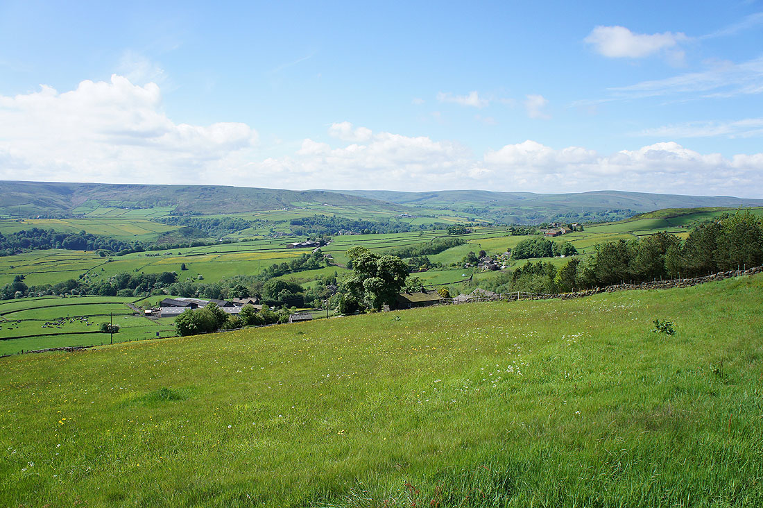
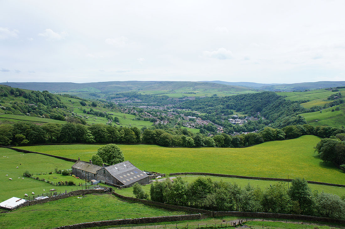
You're soon treated to a view up Calderdale towards Todmorden
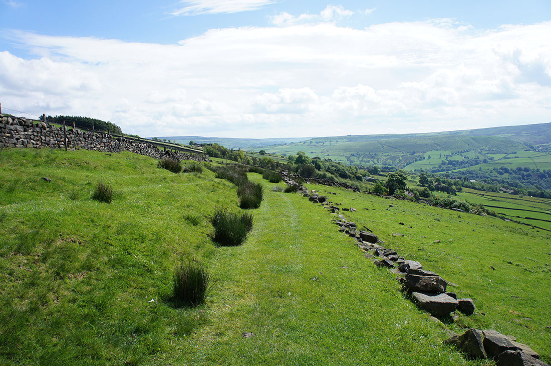
Up on the hillside and I'm following tracks across to Chisley Stones, the hill in the middle of the picture
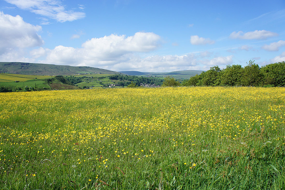
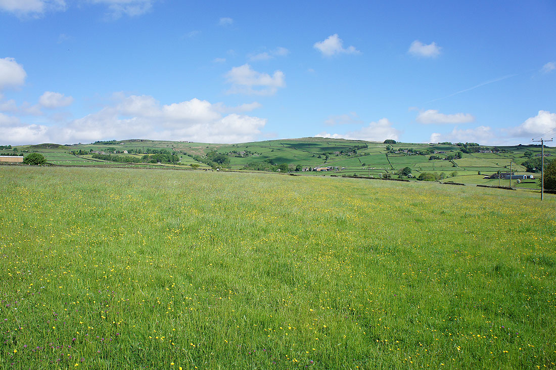
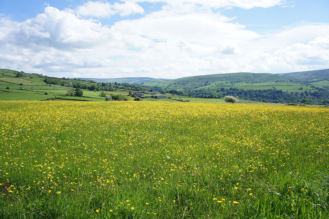
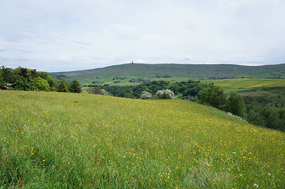
Some of the fields I pass are full of buttercups
Briefly on the Todmorden Centenary Way with great views across Calderdale..
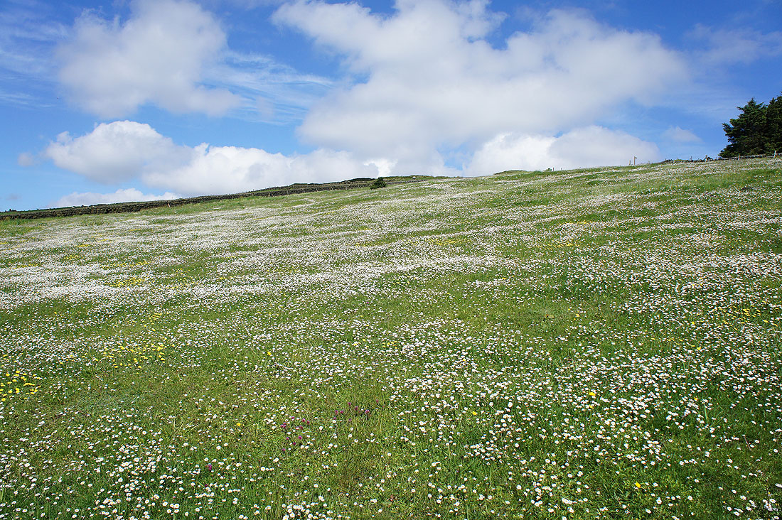
A field full of daisies
On Chisley Stones. Just some boulders poking out of the heather moorland. Looking down Calderdale towards Hebden Bridge and Midgley Moor..
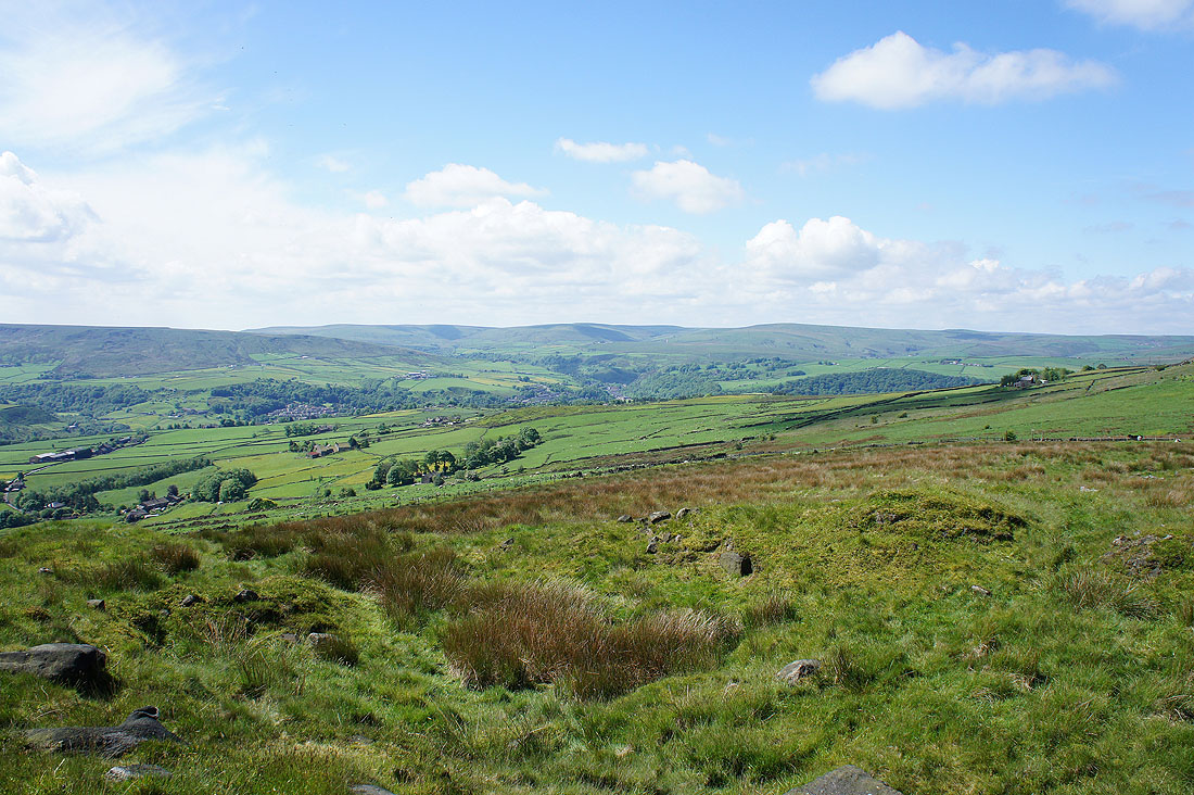
..and up the valley towards Todmorden and the moors of the watershed
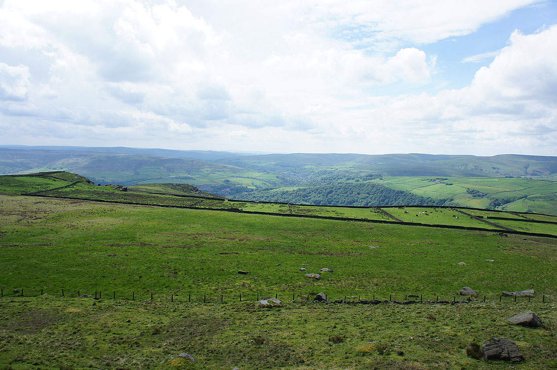
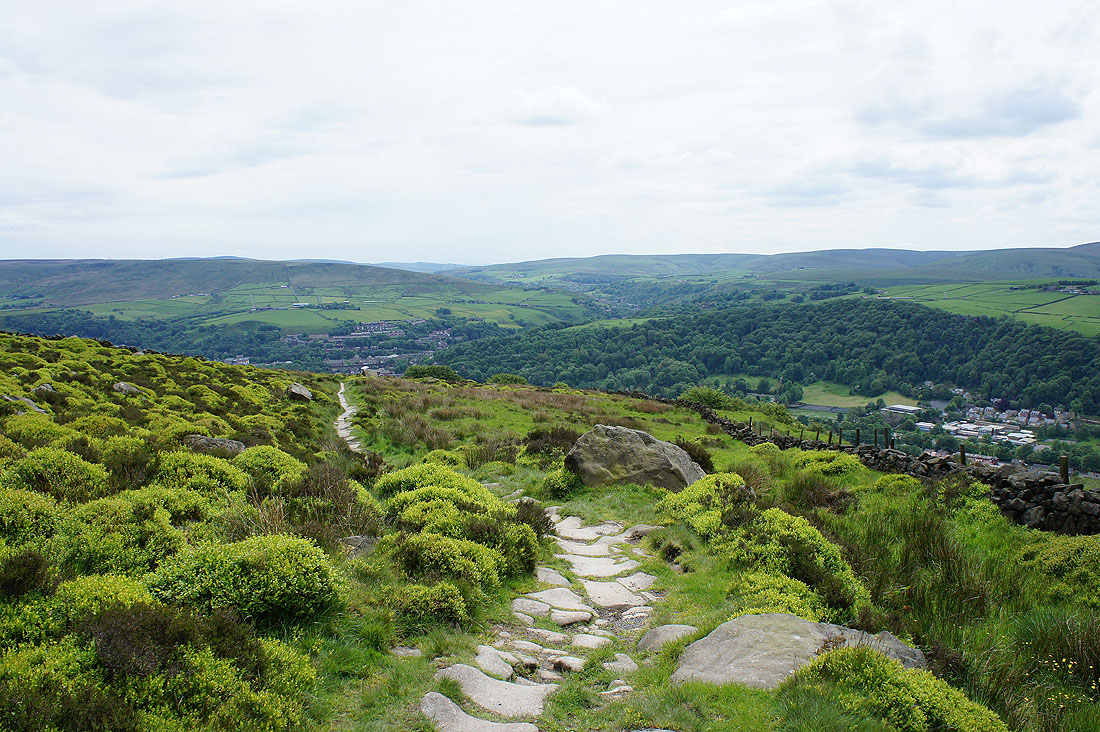
Looking west and I'll head back down to Eastwood Road which I'll follow to Bride Stones Moor
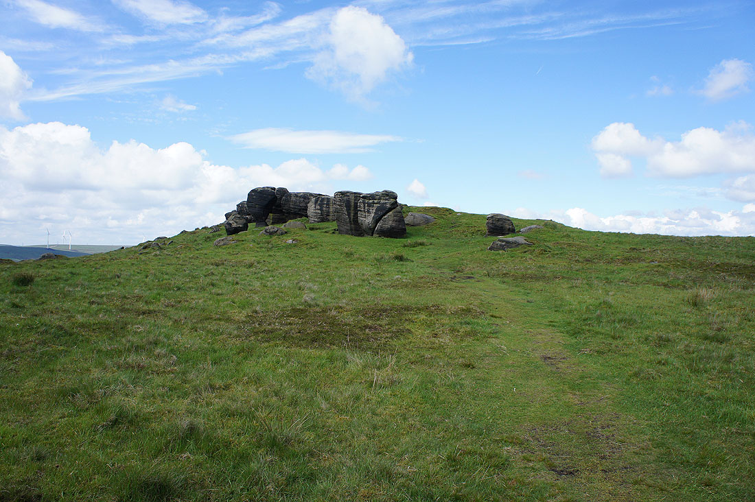
Approaching the Bride Stones
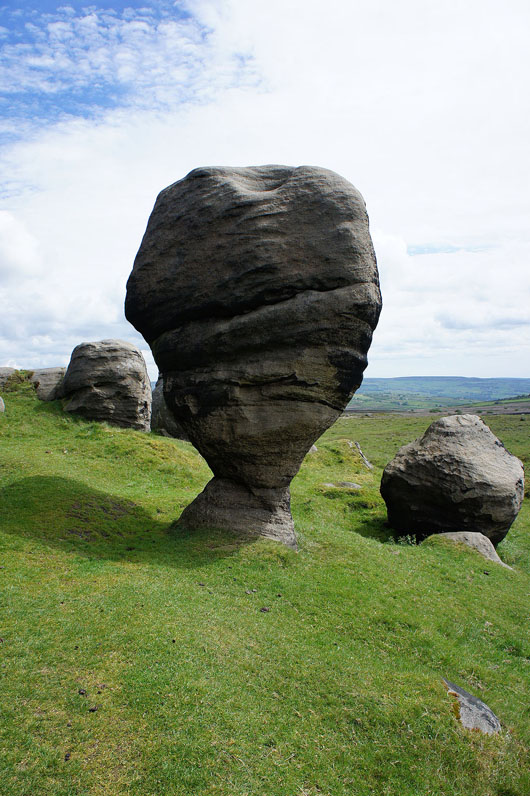
The stand out feature
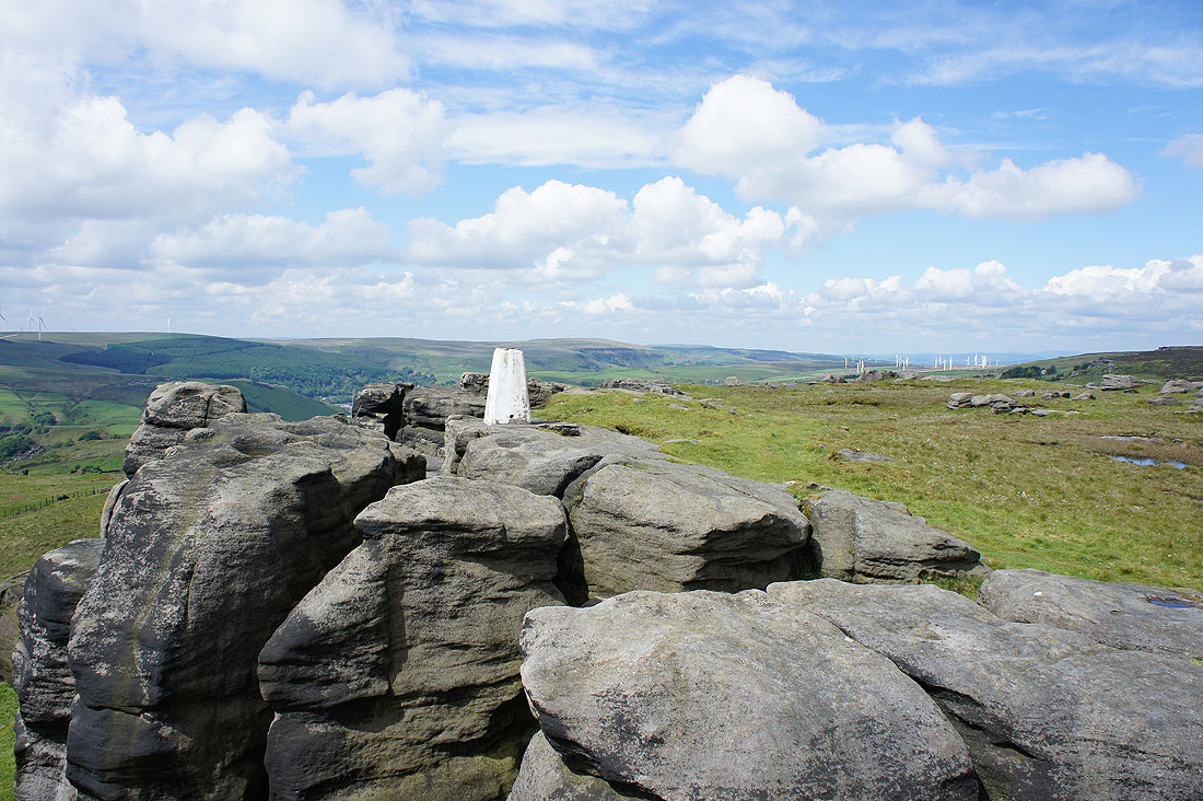
At the high point of the walk, the trig point on Bride Stones Moor
The Stoodley Pike monument in the distance
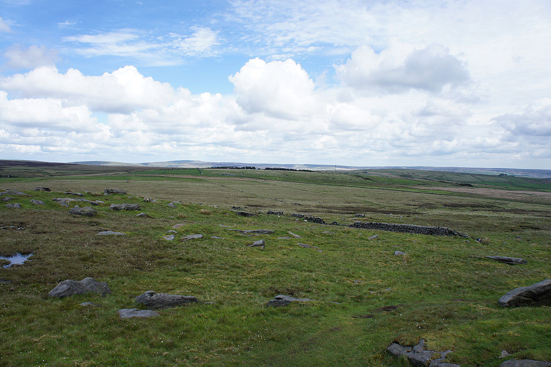
The Summit gorge winds this way and that
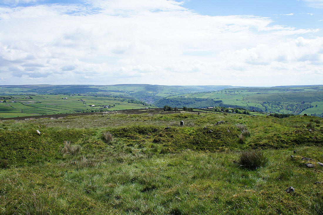
Freeholds Top and Todmorden Moor
Thieveley Scout and the Cliviger Gorge
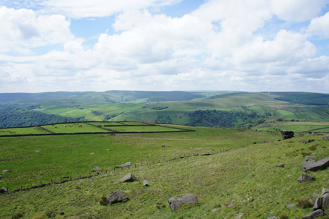
Boulsworth Hill and the moors to the north of Calderdale
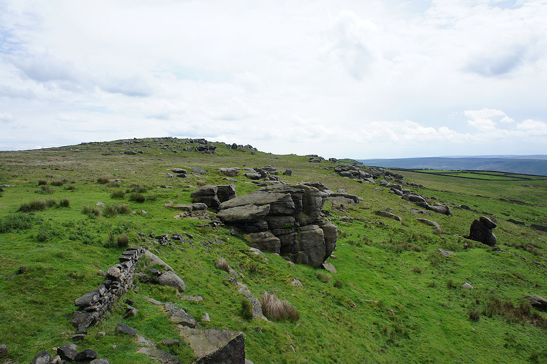
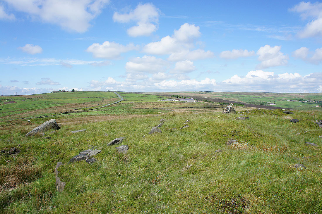
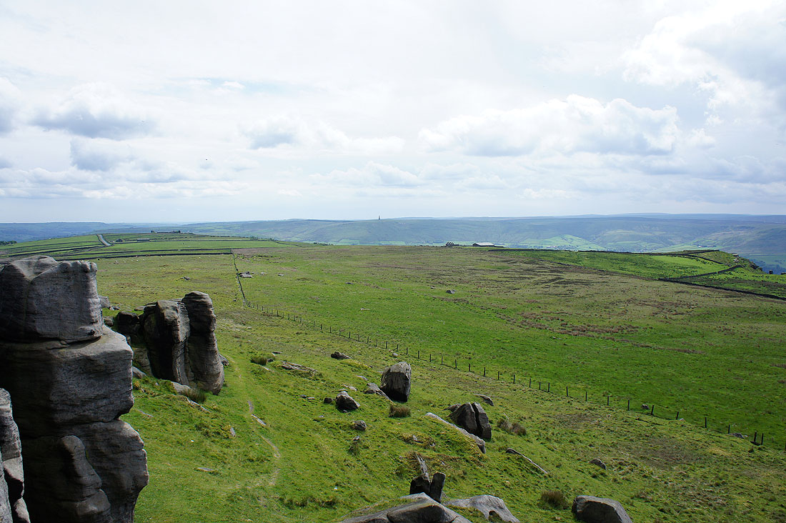
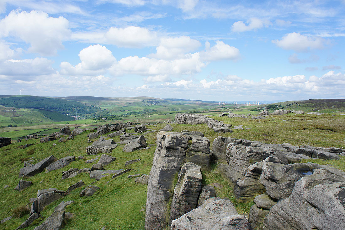
Lots of rock on Bride Stones Moor
There's more rock in the form of the Hawks Stones on the next hillside. I'm going to make a short detour before I head back on the Calderdale Way.
Todmorden and Calderdale from Orchan Rocks. Worth the detour.
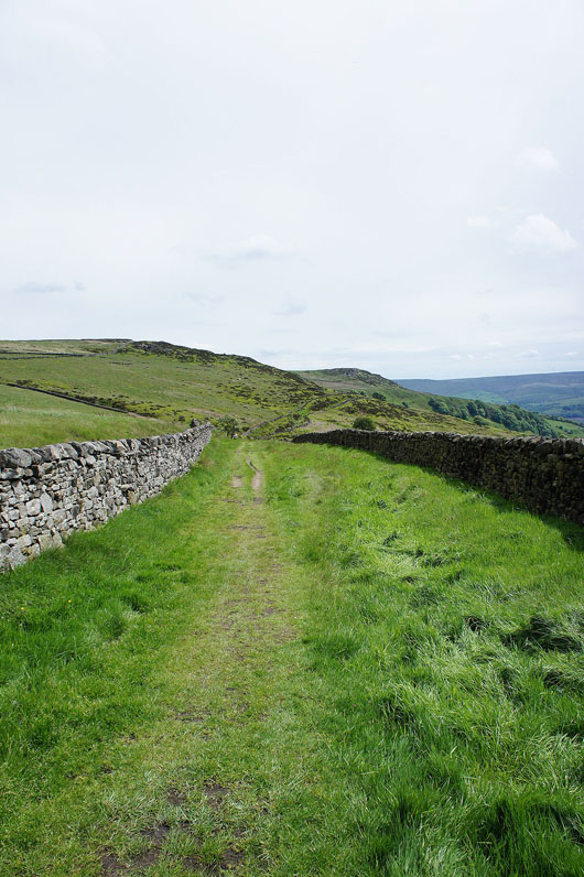
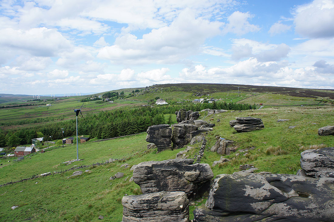
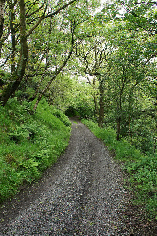
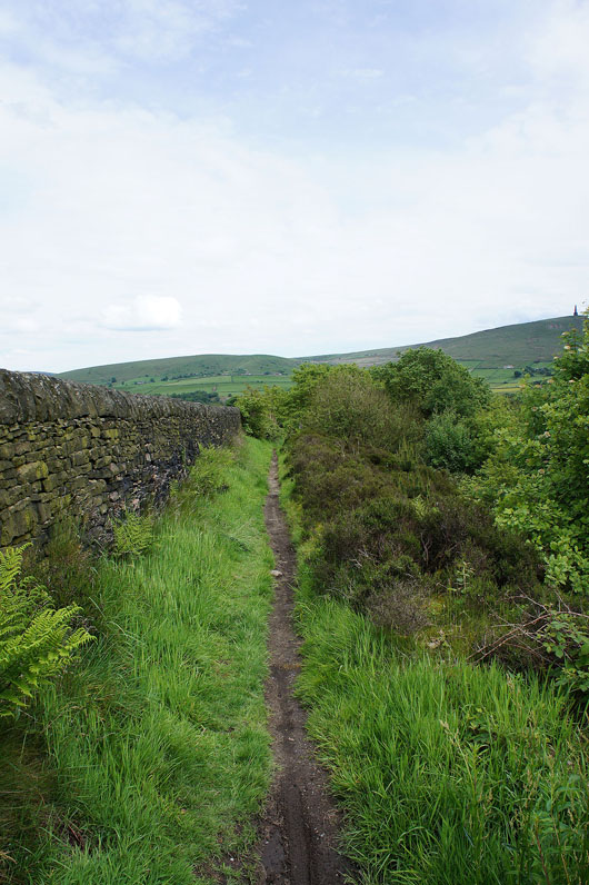
On the Calderdale Way. The track contours the hillside and under the distant rocky outcrop of Whirlaw Stones.
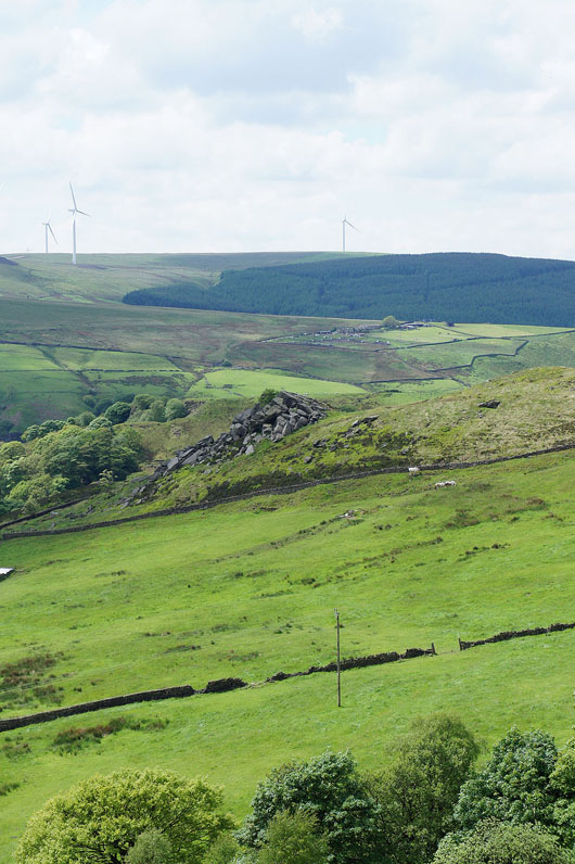
A zoom in on the Orchan Rocks
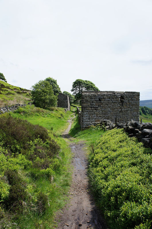
Past a couple of ruined buildings..
..and then passing beneath the Whirlaw Stones
|
|
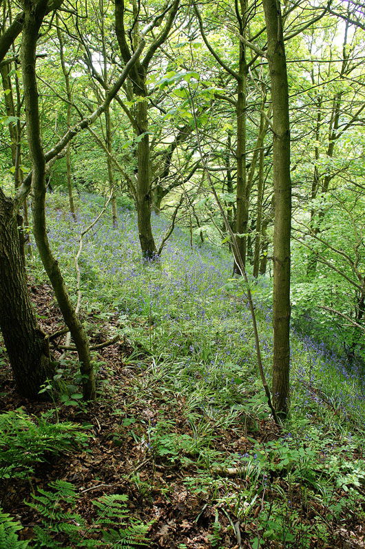
The Calderdale Way then takes a track down into woodland and no walk of recent weeks would be complete without some bluebells.
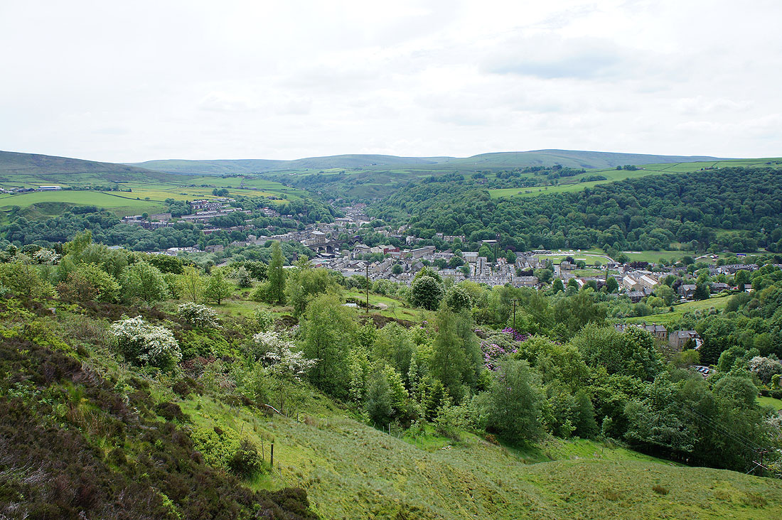
I've left the Calderdale Way for another bridleway that passes the local golf club. Todmorden below.
A great view across the valley to Stoodley Pike
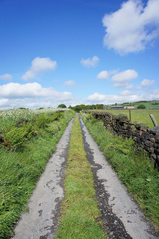
Not far to go to reach the path back down to the picnic site. So much for the forecast rain.