26th May 2022 - Grasmere to Calf Crag and Helm Crag
Walk Details
Distance walked: 11.6 miles
Total ascent: 2632 ft
OS map used: OL7 - The English Lakes, Southeastern area & OL6 - The English Lakes, Southwestern area
Time taken: 6.5 hrs
Route description: Layby on A591 outside Grasmere-Town End-White Moss Common-A591-Loughrigg Terrace-Red Bank Road-Grasmere-Easedale Road-Easedale-Far Easedale-Calf Crag-Gibson Knott-Helm Crag-Lancrigg-Easedale Road-Grasmere-Layby on A591 outside Grasmere
Like yesterday today was forecast to have improving weather, except it would start off worse and I'd have to wait longer for it to get better. It was raining quite heavily while I was having my breakfast at the guest house I'm staying at in Keswick, and it was only then that I decided to head for Grasmere to do a walk along the ridge of Calf Crag to Helm Crag above Far Easedale. The three Wainwrights on it would all count for my second round. It was still raining when I arrived in Grasmere at about 1100, with the clouds sitting low on the fells, so I decided to pop into a cafe for coffee and cake to wait for it to show signs of easing off. Thirty minutes later I returned to my car to change into my boots with the rain lighter and more drizzly, and to give it time to clear I did a circuit of Grasmere the lake before heading up Far Easedale to walk the ridge. The clouds broke up while I was on Loughrigg Terrace at about 1300, and from then on the afternoon had increasing amounts of sunshine, with the best weather being while I was walking the ridge from Calf Crag to Helm Crag, just as I'd hoped. It was pretty windy up there, which seems to be a theme of the walks I've done so far this week.
After parking in the large layby on the A591 just outside Grasmere I walked south by the road to a roundabout where I turned left and took the lane up past Dove Cottage to How Top, and a lane on the left signposted as "No Through Road for Motor Vehicles after 1/2 mile). I walked up this lane to its top and onto the bridleway across White Moss Common, soon leaving this for a bridleway down to the A591. After crossing the road I took the footpath opposite to reach the River Rothay, which I crossed via a footbridge, then I followed a footpath up through woodland to reach the bridleway on Loughrigg Terrace. I made my way west along the bridleway across Loughrigg Terrace and down through Redbank Wood, then took a footpath down to and then along the western shore of Grasmere, and then up to Red Bank Road. After walking along Red Bank Road into Grasmere I took the lane up to the National Trust property of Allan Bank, leaving it for a footpath on the right to Goody Bridge which took me to Easedale Road. I then walked west up Easedale Road to its end at Little Parrock and onto the bridleway up Far Easedale, which I followed to the top of the dale, then taking a footpath east across Brownrigg Moss to reach the summit of Calf Crag. After taking a break I followed the footpath east along the ridge to Gibson Knott and Helm Crag, then down to and through the grounds of The Lancrigg Hotel to reach Easedale Road, which I walked along back into Grasmere, and from there I made my way back to the layby on the A591 where I'd parked my car.
Route map
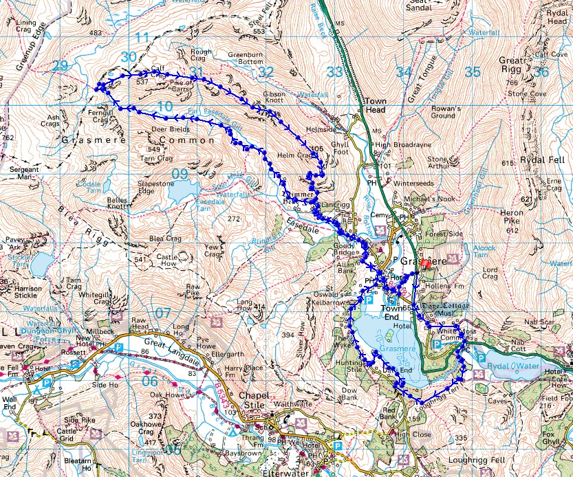
© Crown copyright. All rights reserved. License number PU 100034184.
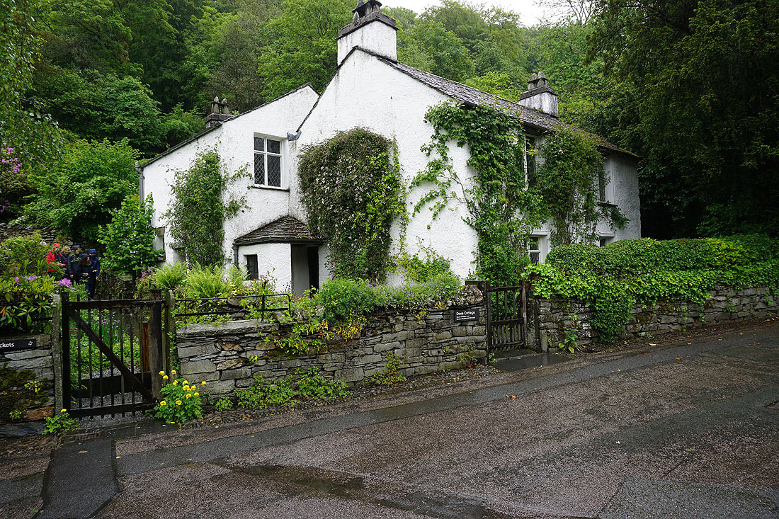
Passing Dove Cottage in Grasmere
On the bridleway across White Moss Common
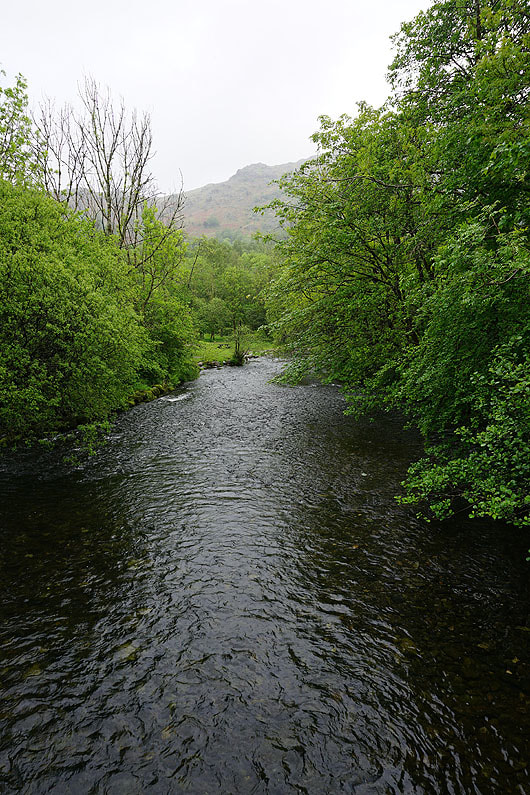
Crossing the River Rothay
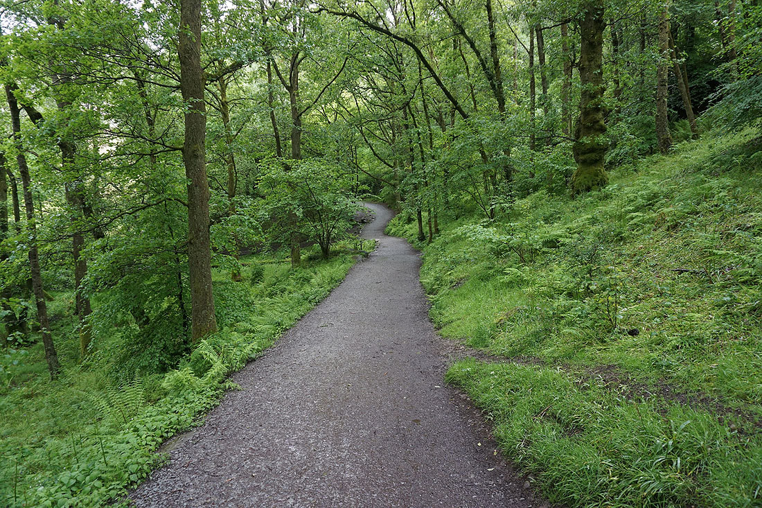
Following the footpath up to the bridleway on Loughrigg Terrace
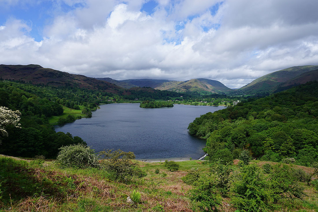
Looking east across the northern slopes of Loughrigg Fell as I join the bridleway on Loughrigg Terrace
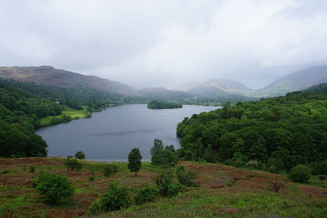
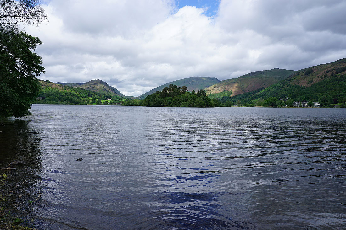
I stop for lunch on a handily placed bench on Loughrigg Terrace and watch the weather improve over Grasmere and its surrounding fells....
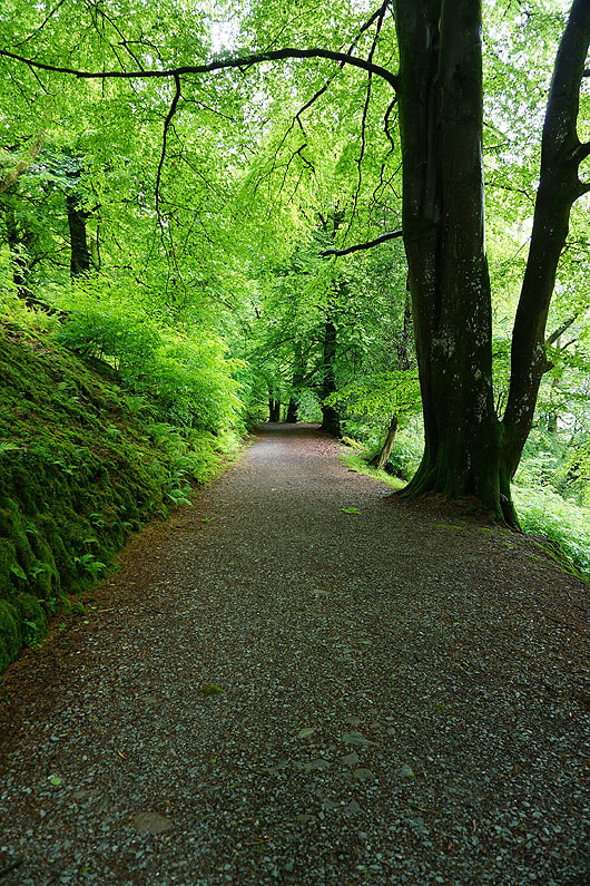
On the bridleway down through Redbank Wood
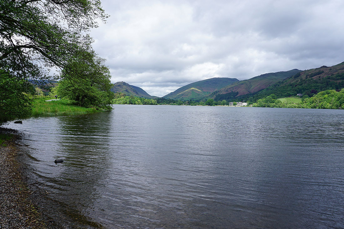
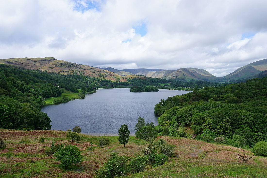
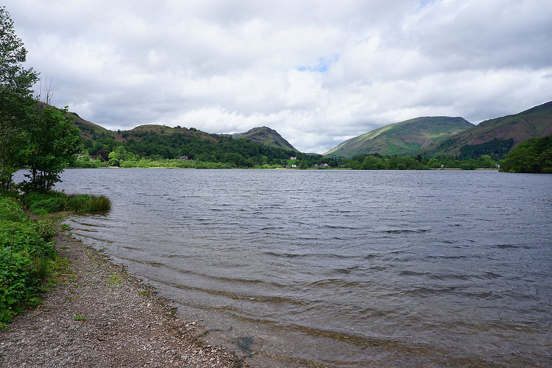
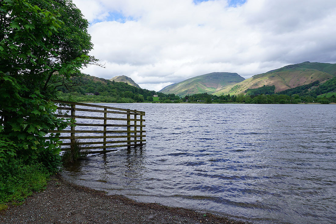
A permissive footpath lets me take in the view from the western shore of Grasmere....
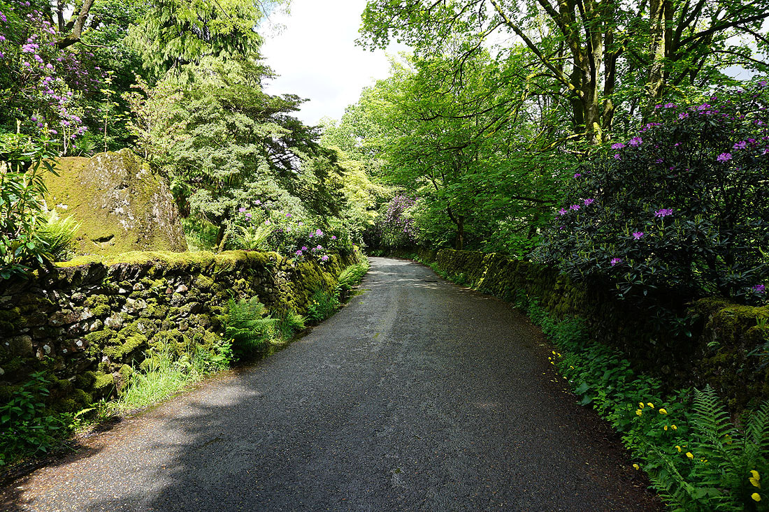
Walking along Red Bank Road into Grasmere
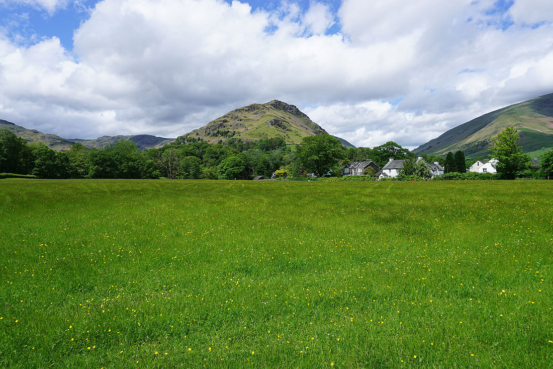
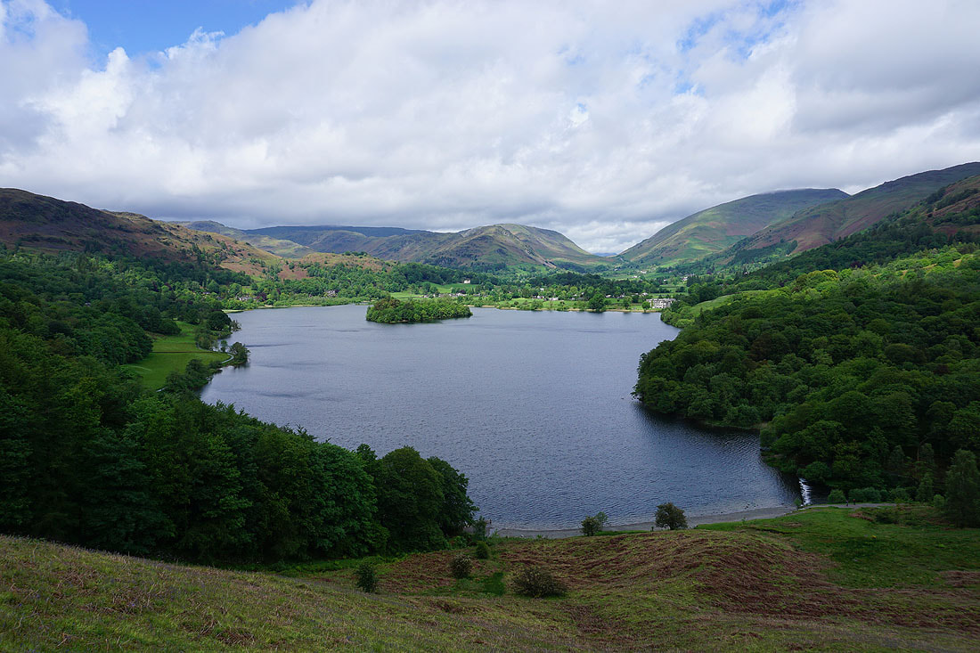
Helm Crag from the footpath across to Easedale Road. It looks like it's going to be a nice afternoon.
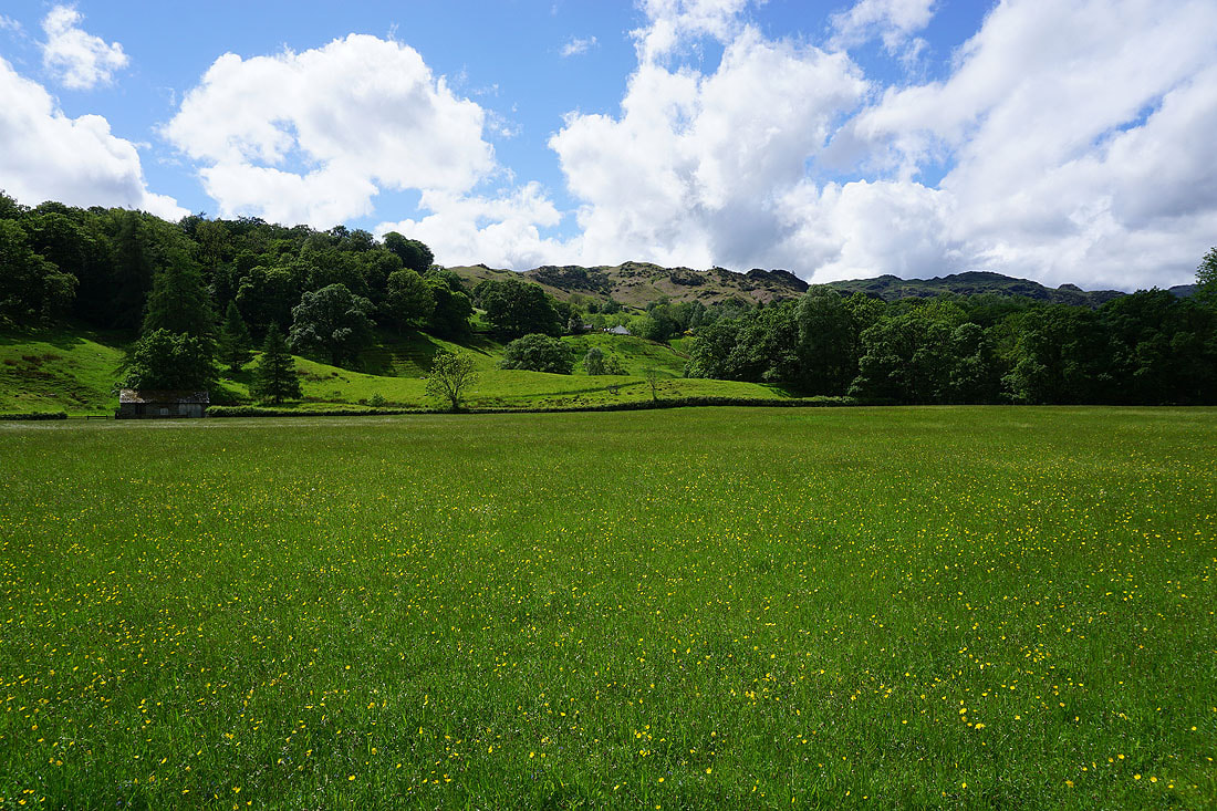
The slopes of Yew Crag and Great Castle How
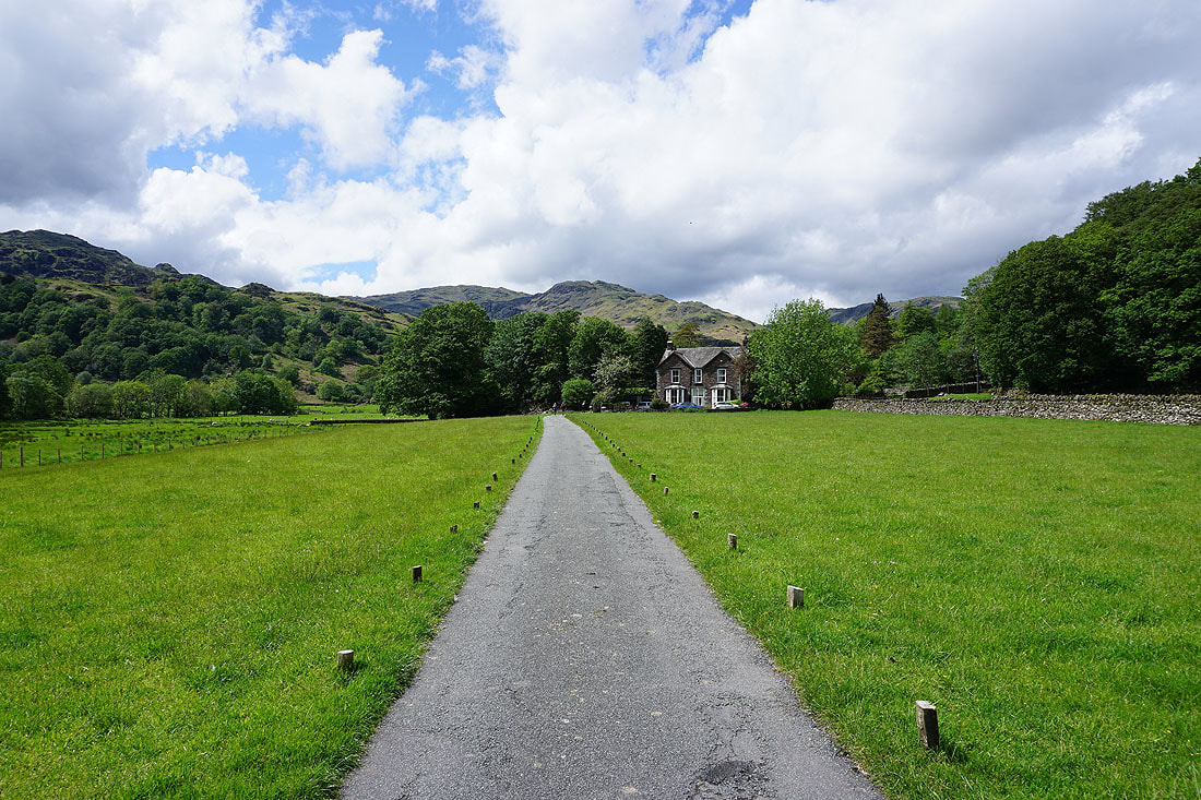
The end of Easedale Road at Little Parrock
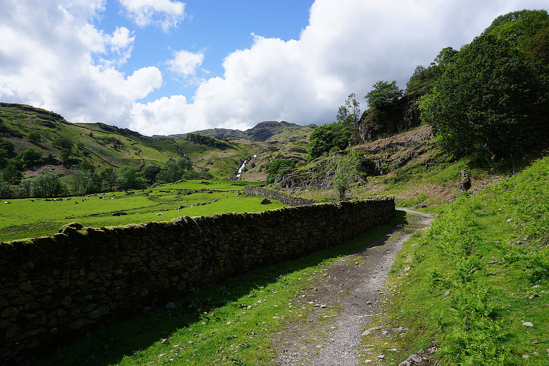
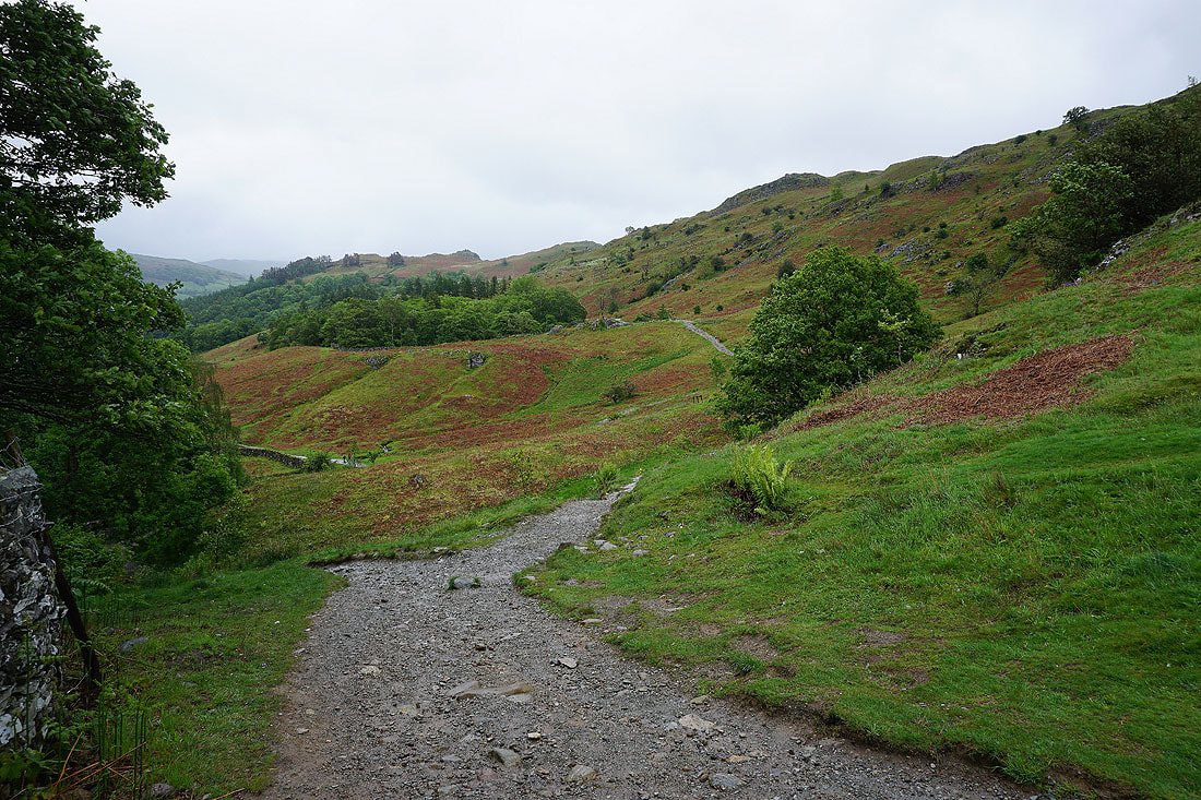
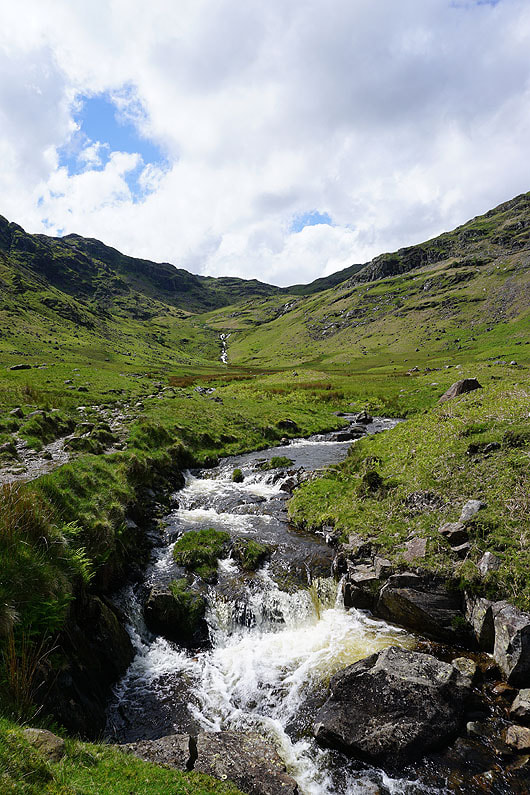
Onto the bridleway up Far Easedale. The waterfall of Sourmilk Gill is hard to miss.
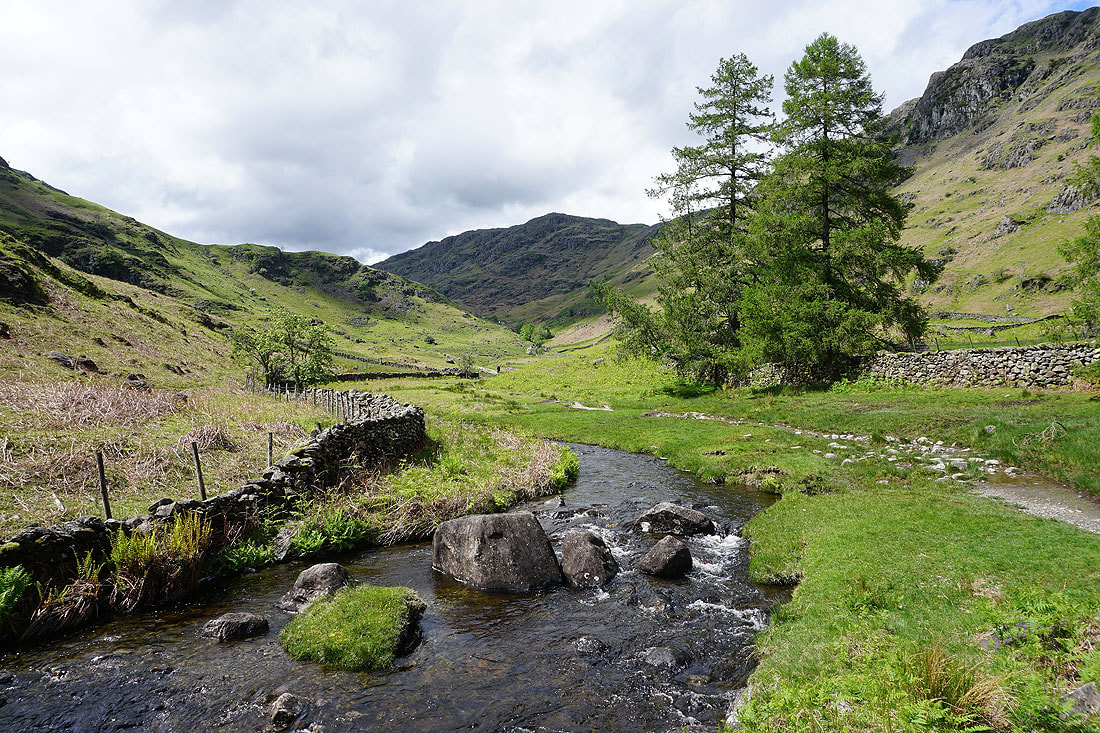
Pike of Carrs in the distance above Far Easedale Gill
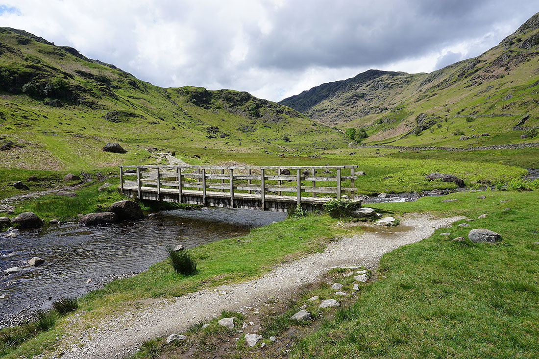
Crossing the footbridge over Far Easedale Gill
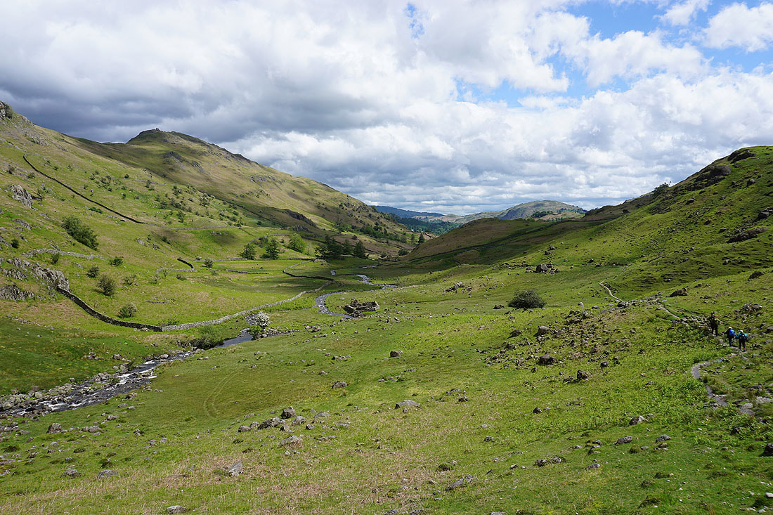
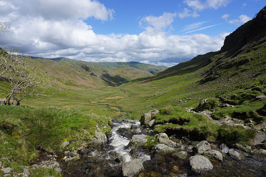
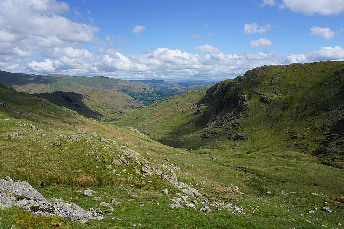
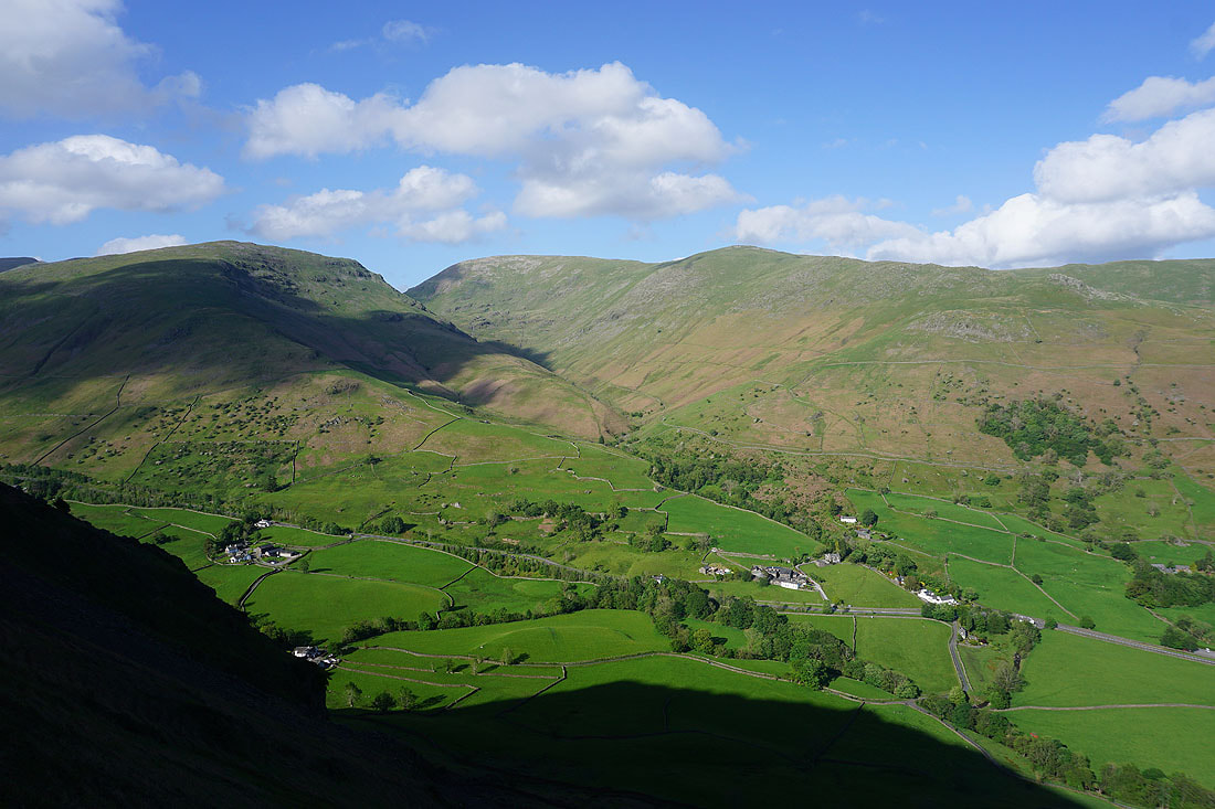
Looking back down Far Easedale with Helm Crag on the left
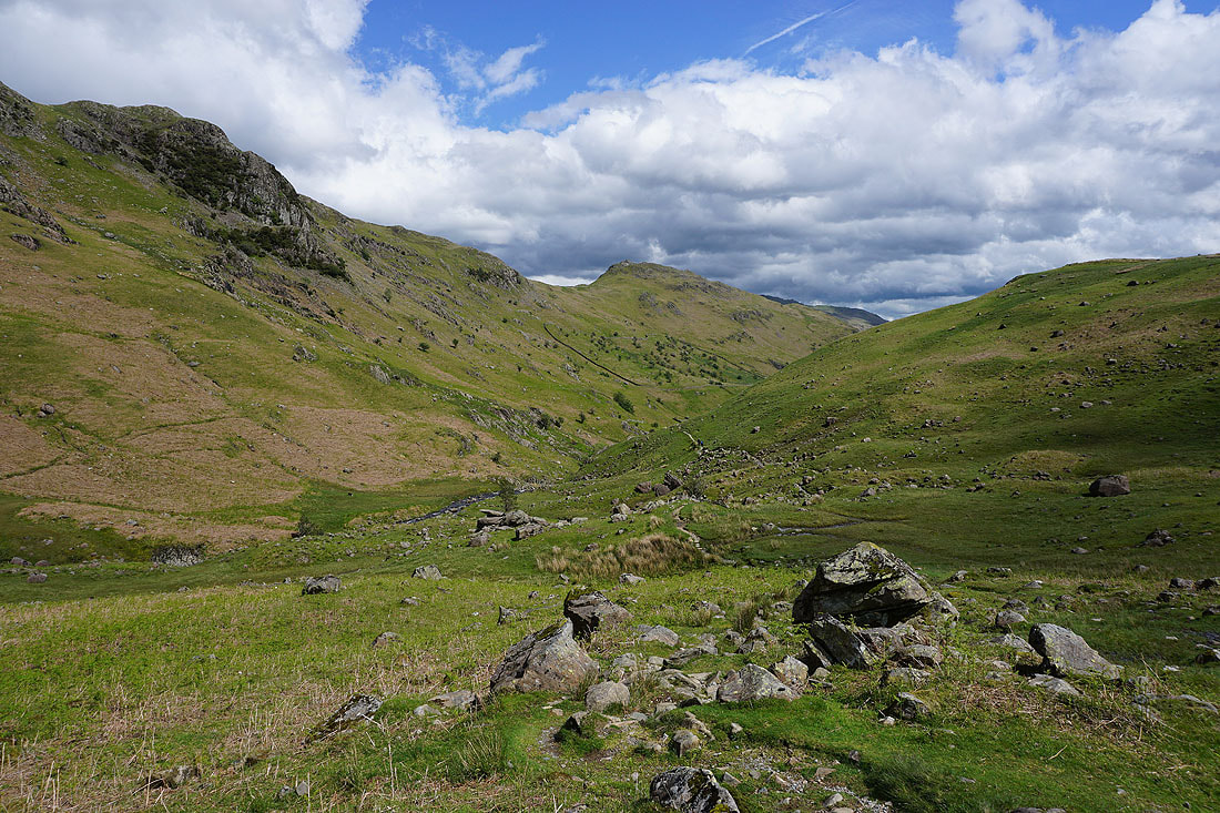
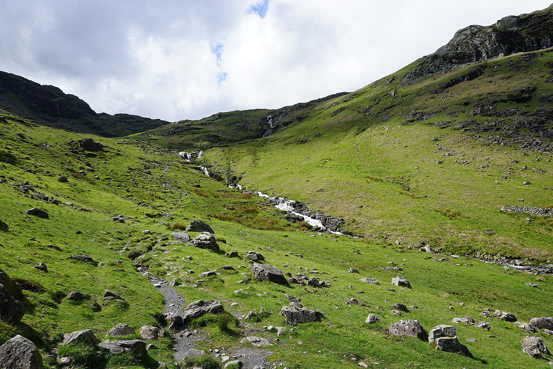
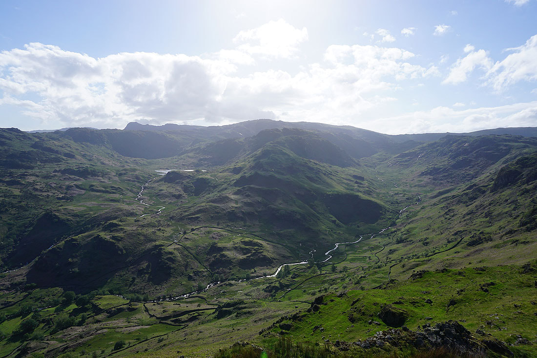
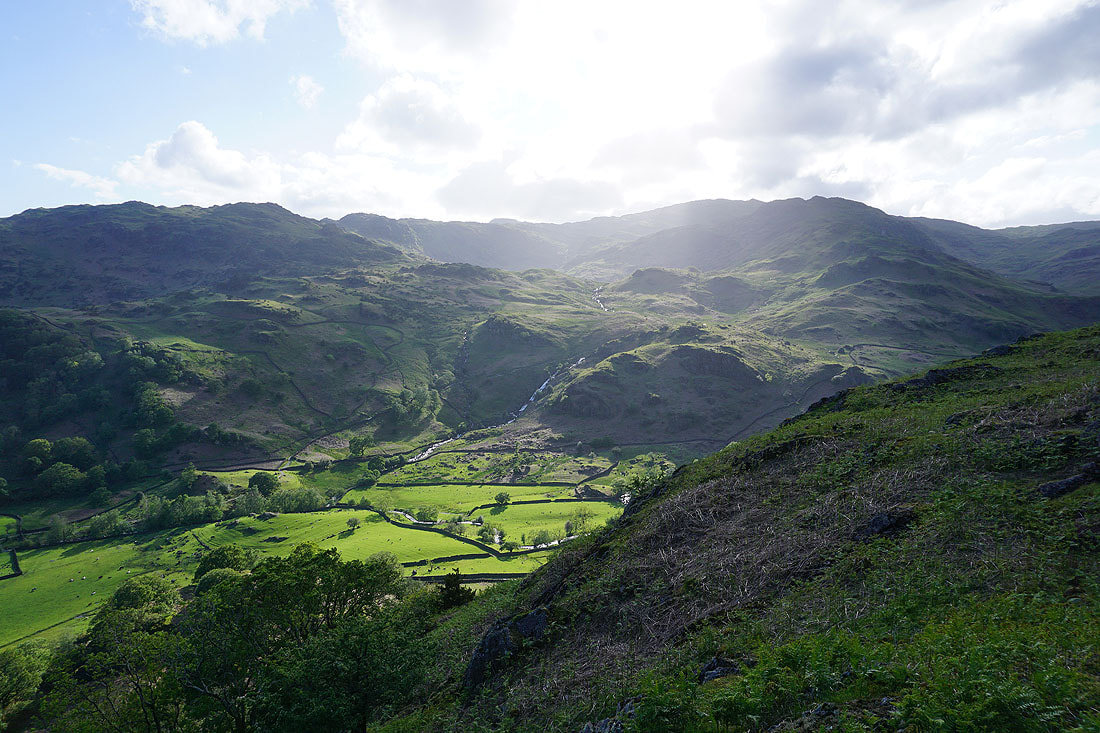
Great views of Far Easedale as I follow the bridleway all the way up to its top.......
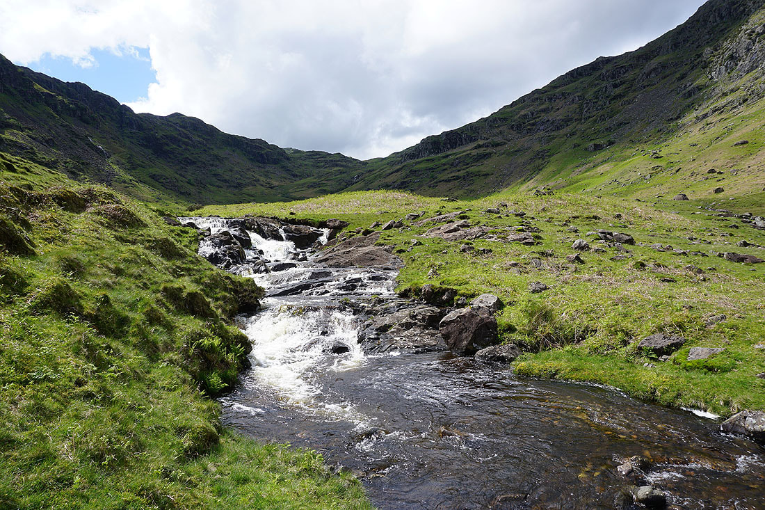
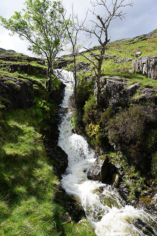
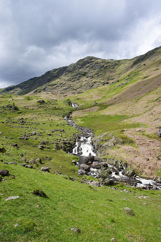
A short descent from the path was worth it for a photo of this waterfall
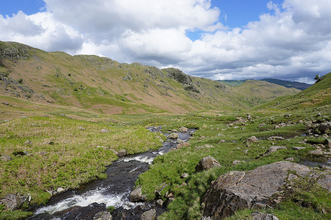
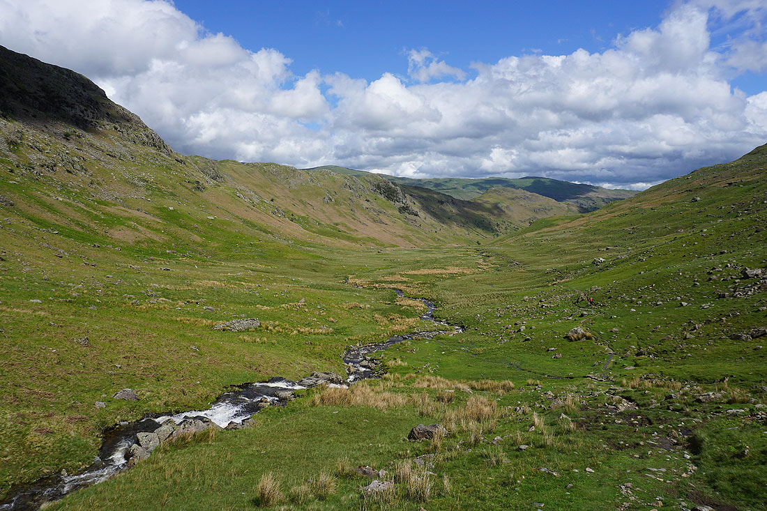
Looking down Far Easedale from above the waterfall
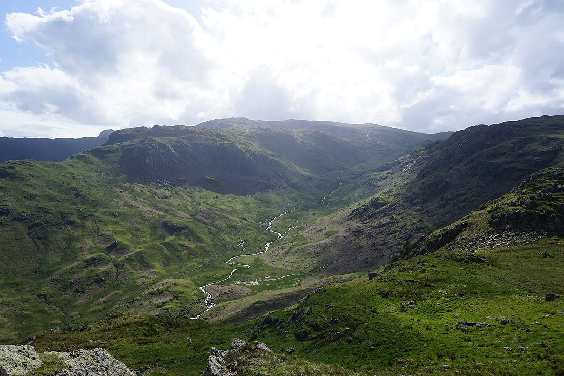
Far Easedale and the crags of Deer Bields as I head for the top of Calf Crag
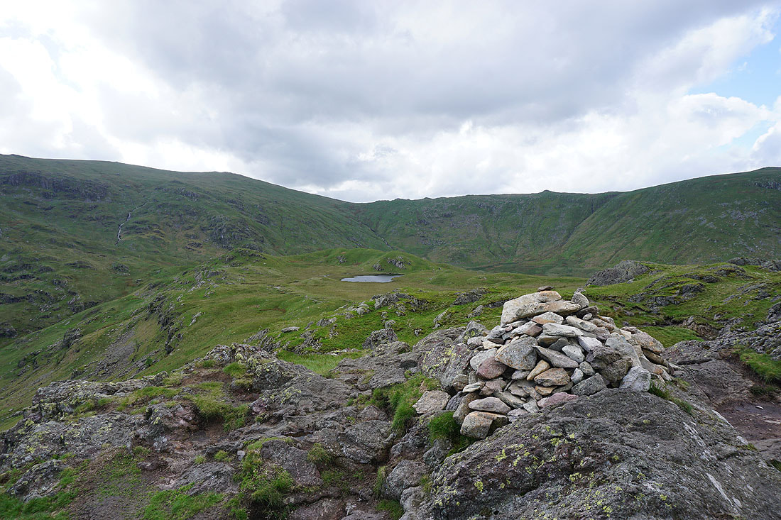
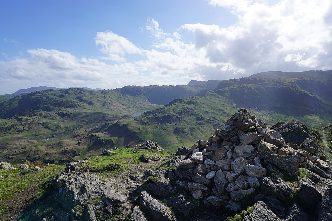
On the summit of Calf Crag. Looking west across Brownrigg Moss and an unnamed tarn to Greenup Edge and the head of Wyth Burn.
Helvellyn, Nethermost Pike, Dollywagon Pike, and Fairfield beyond the ridge to Steel Fell
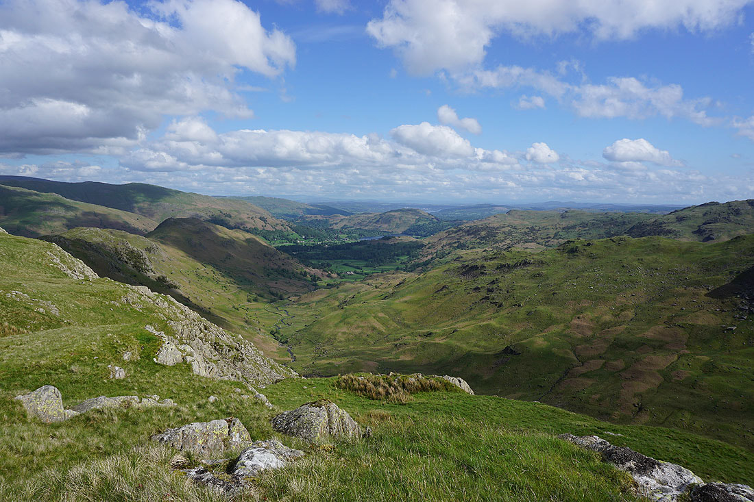
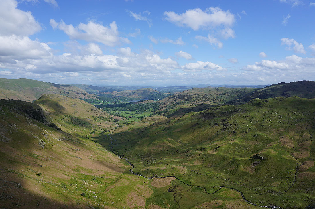
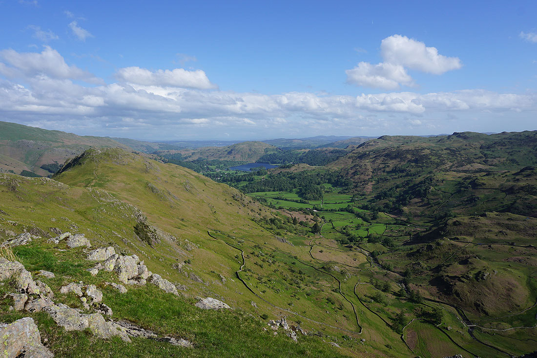
Looking down Far Easedale to Grasmere and Loughrigg Fell
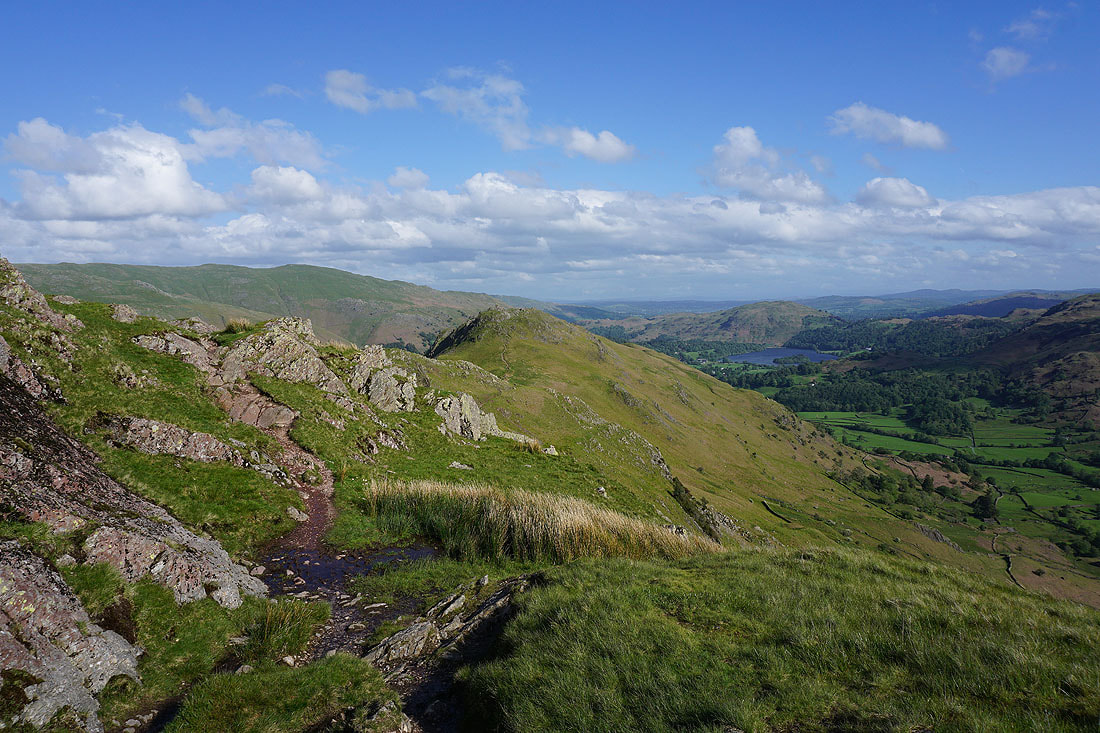
As I head along the ridge to Gibson Knott a visit to the top of a crag lets me see right down into Far Easedale

Approaching Gibson Knott
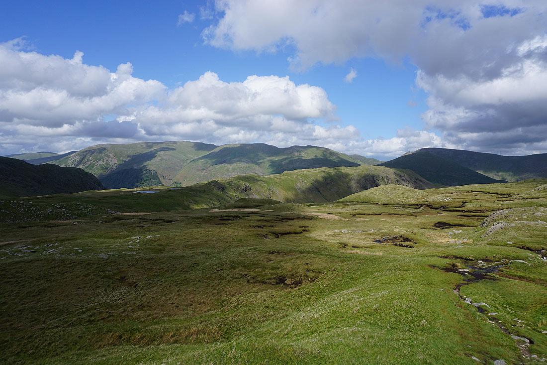
Looking across Far Easedale to Tarn Crag and to Codale Head
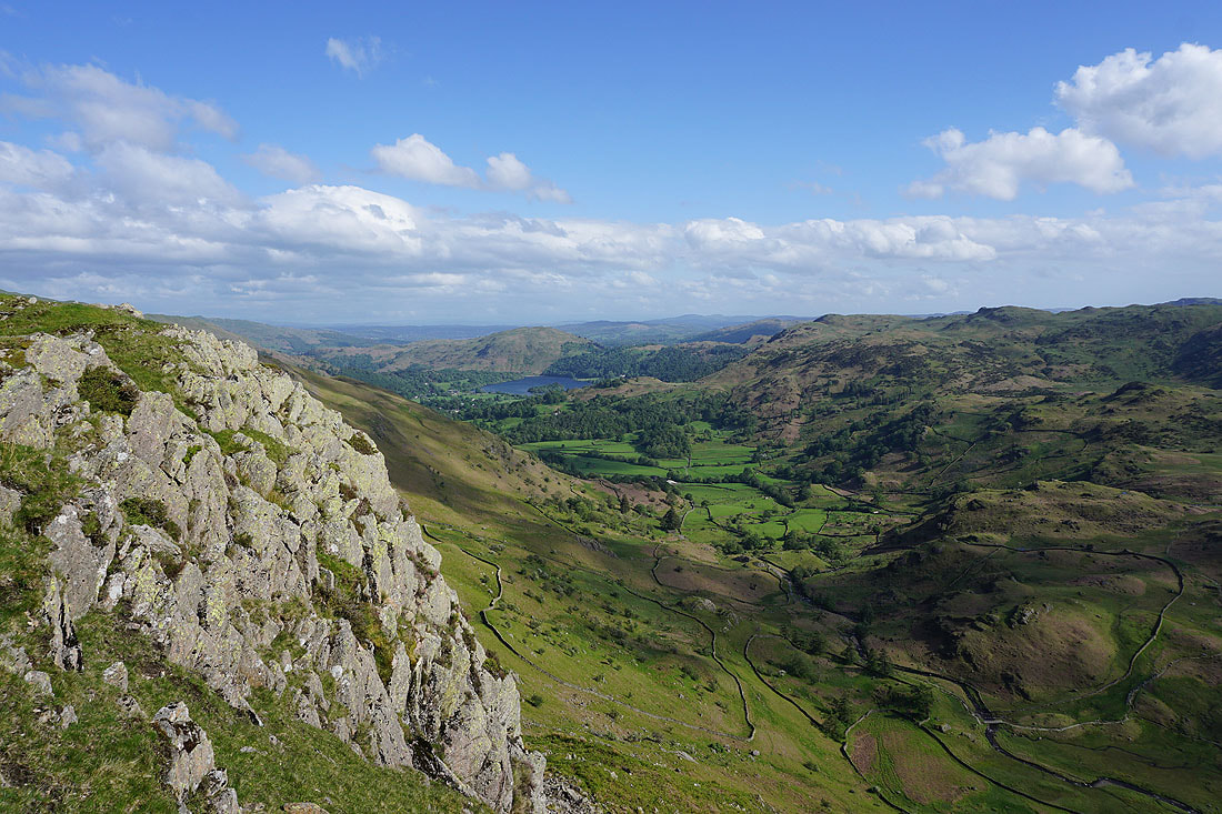
Loughrigg Fell, Grasmere, Easedale, and Silver How from Gibson Knott
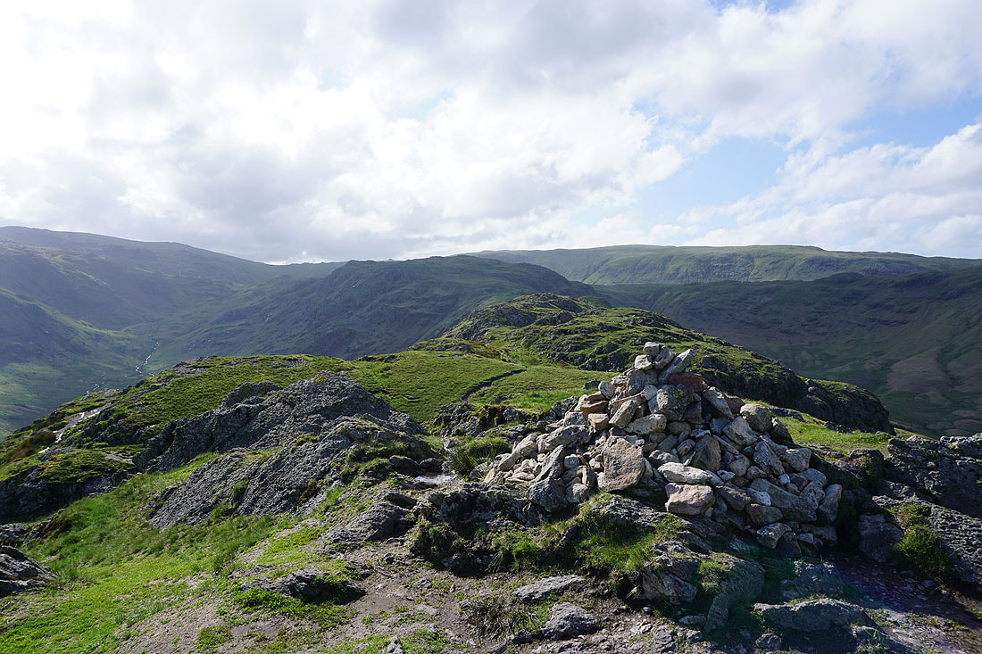
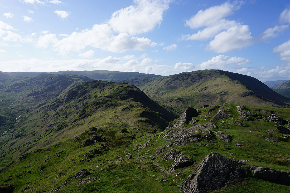
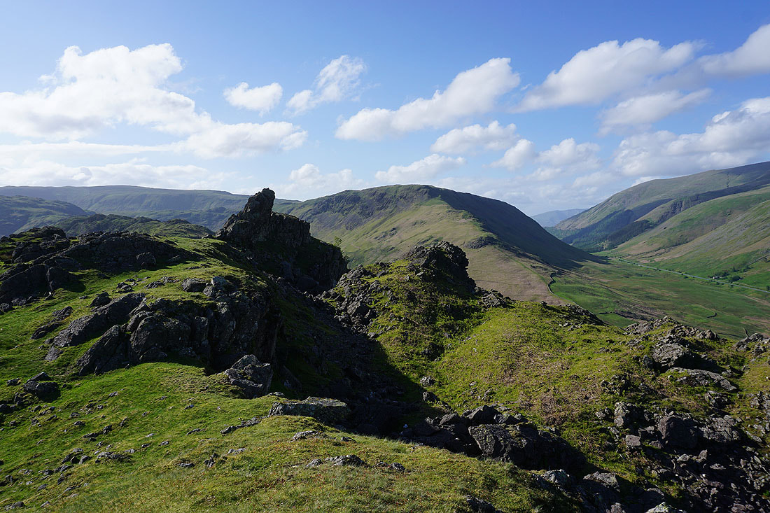
Looking back along the ridge to Calf Crag from the top of Gibson Knott
and across Far Easedale to Blea Rigg, a glimpse of Easedale Tarn, and Tarn Crag
Making my way along the ridge to Helm Crag..
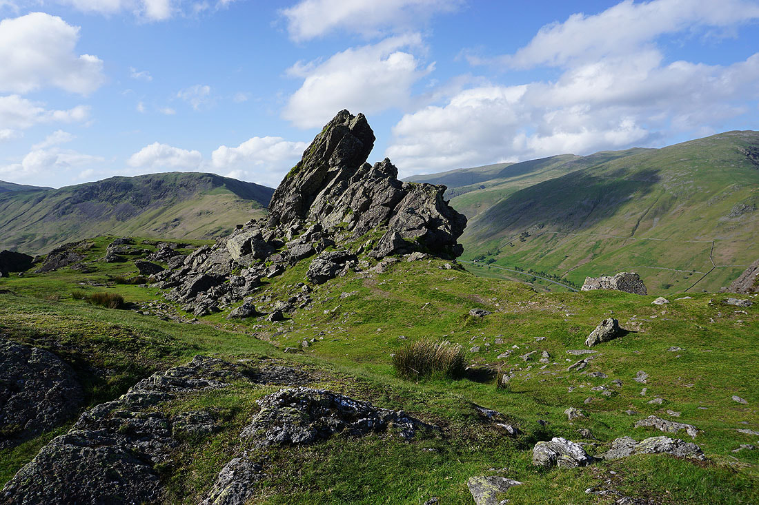
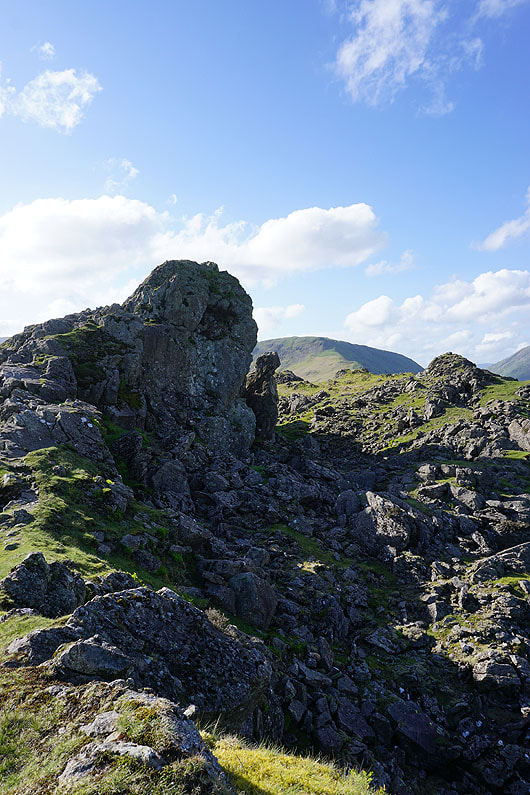
The Howitzer on the summit of Helm Crag. I started to climb it but the strength of the wind proved to be too much of a deterrent for me to make it to the top.
There's a great view across the top of Easedale to Blea Rigg, Easedale Tarn and Tarn Crag, with Far Easedale on the right
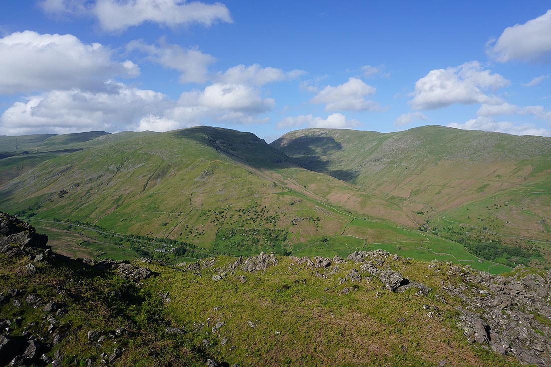
The ridge back to Gibson Knott and Calf Crag on the left, Steel Fell on the right, and Ullscarf in the distance
Looking across the top of the Vale of Grasmere to Seat Sandal, Fairfield, and Great Rigg
Approaching " The Lion and the Lamb", the other named rock formation on the top of Helm Crag
Looking back to The Howitzer
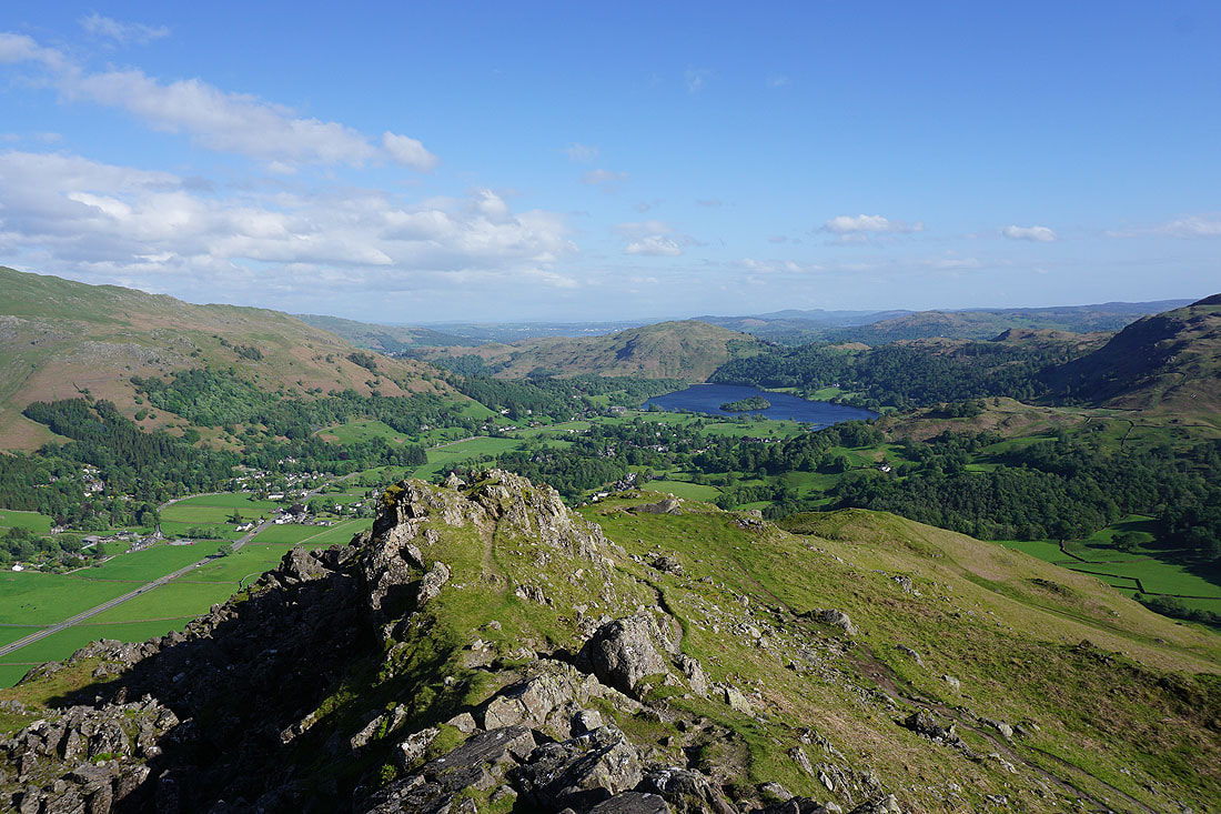
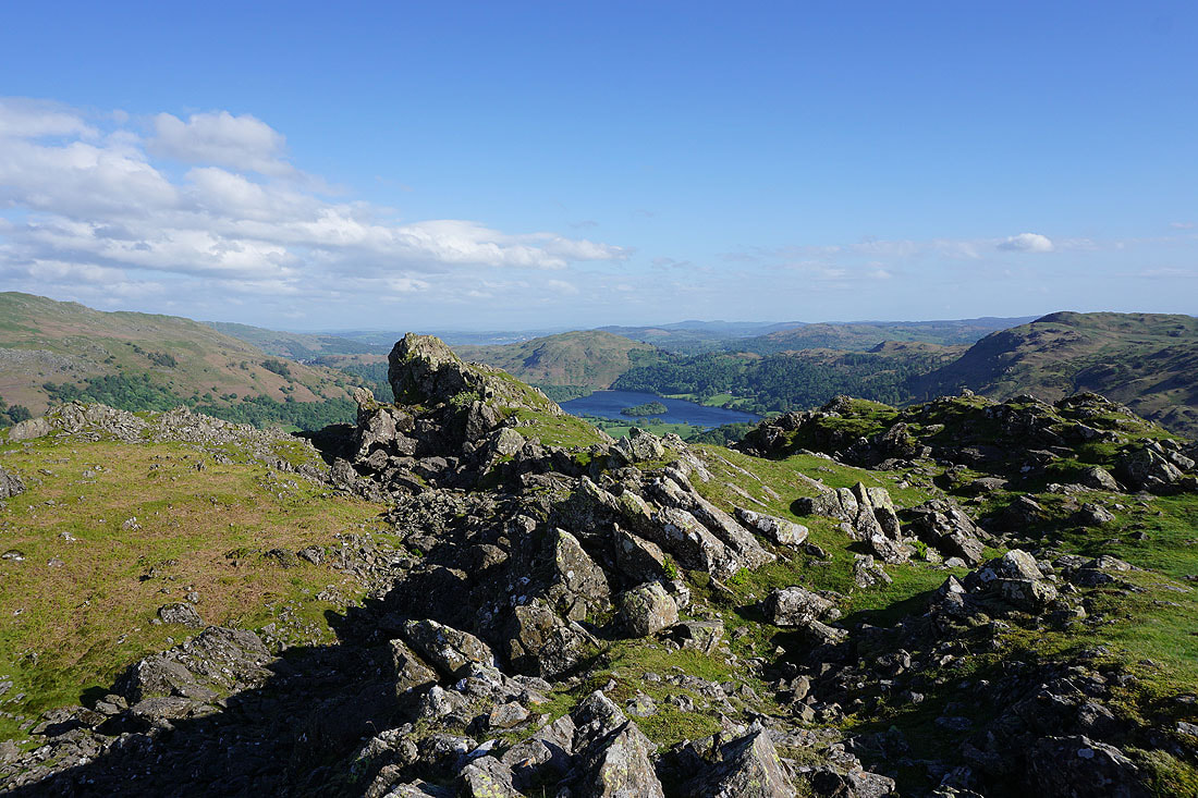
The Vale of Grasmere, Loughrigg Fell and Grasmere
The Lion and the Lamb
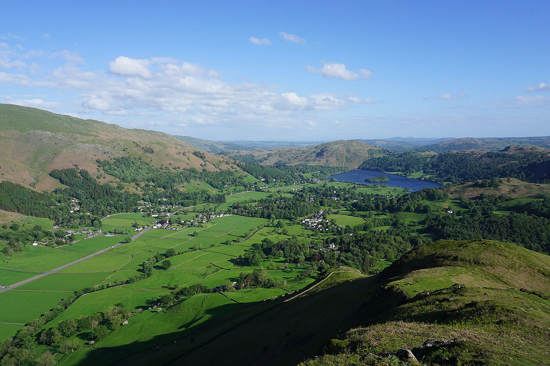
The Vale of Grasmere looks great in the late afternoon sunshine
Seat Sandal, Tongue Gill, Fairfield, and Great Rigg
Looking across Easedale to Blea Rigg, Sourmilk Gill, and Tarn Crag
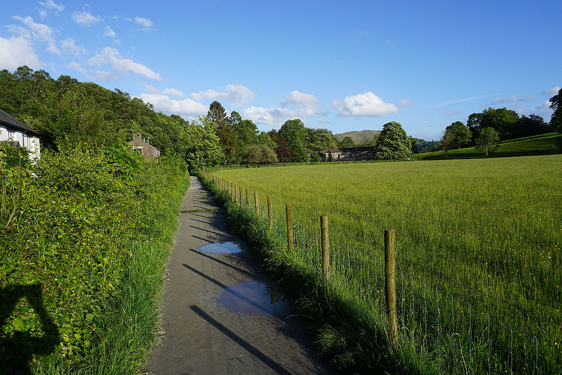
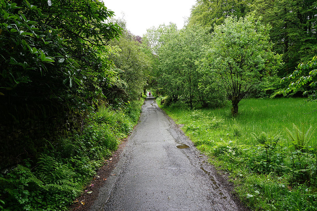
I follow the footpath by Easedale Road back to Grasmere..
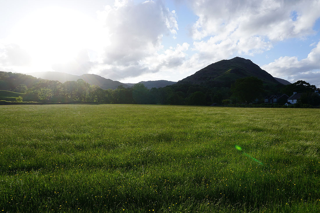
..from which I have a view back to Helm Crag