26th October 2012 - Hardcastle Crags & High Brown Knoll
Walk Details
Distance walked: 7.5 miles
Total ascent: 1674 ft
OS map used: OL21 - South Pennines
Time taken: 6 hrs
Route description: NT car park, Midgehole-Hebden Dale-Gibson Mill-Hardcastle Crags-Rowshaw Clough-Walshaw Farm-Calder/Aire Link-Crimsworth Dean-High Brown Knoll-Deer Stones Edge-Pecket Well-Pecket Well Clough-NT car park, Midgehole
This walk was a great first visit to see Hardcastle Crags and the woods of Hebden Dale. Hardcastle Crags is National Trust property and is a busy place so a week day is the best time to appreciate their beauty without the crowds there would probably be at a weekend.
After parking in the NT car park at Midgehole I followed the "Mill Walk" up Hebden Dale to Gibson Mill. Once I reached the mill I continued up the valley to Rowshaw Clough where I then headed uphill to Walshaw Farm and the bridleway across to Crimsworth Dean. I passed Lumb Hole Waterfall before crossing the moors to reach the trig point on High Brown Knoll. My route back took me down Deer Stones Edge and through the woods of Pecket Well Clough to the car park.
Route map
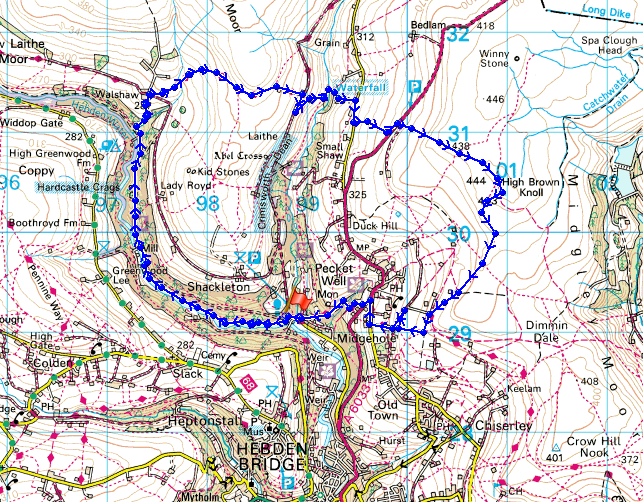
© Crown copyright. All rights reserved. License number PU 100034184.
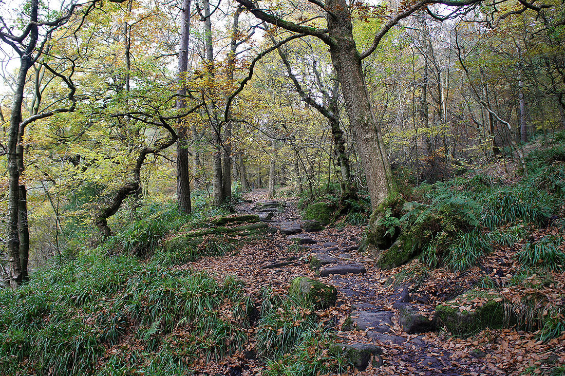
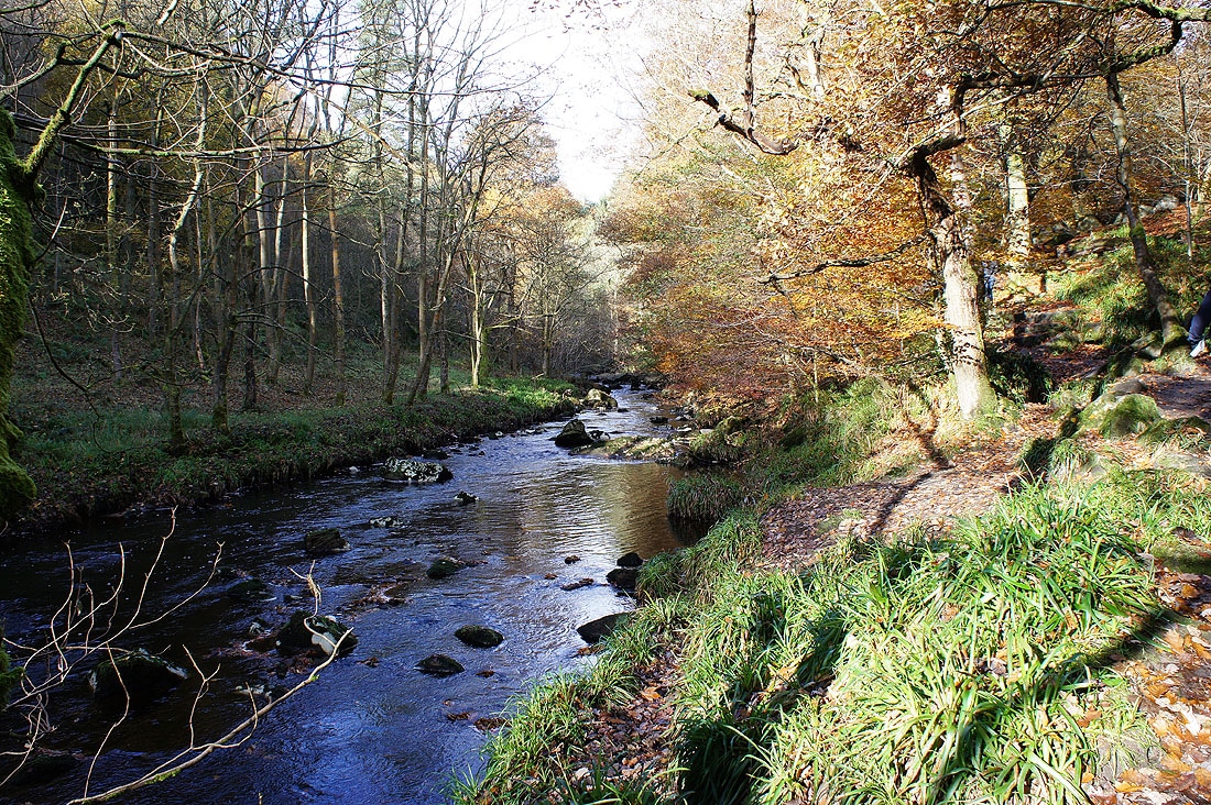
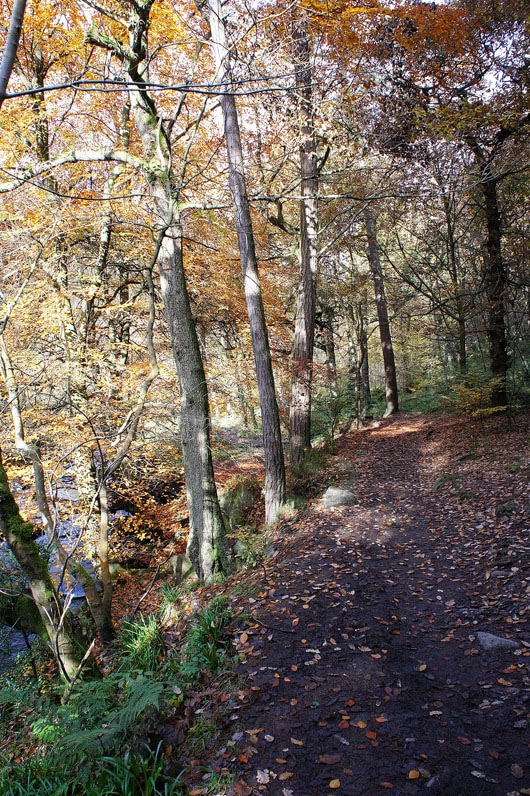
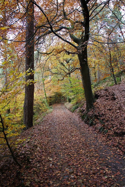
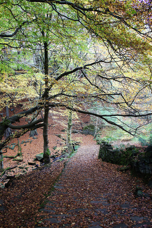
Starting from the National Trust car park I'm following the marked "Mill Walk" that follows Hebden Water up to Gibson Mill. The photos that follow are from this part of the walk.
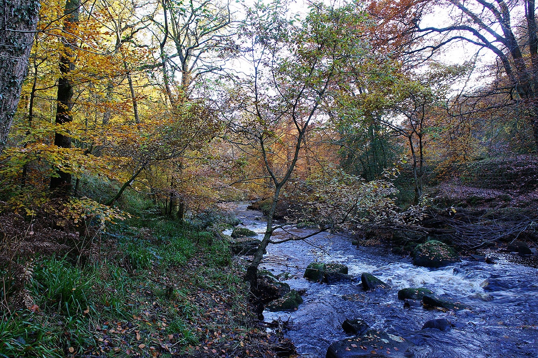
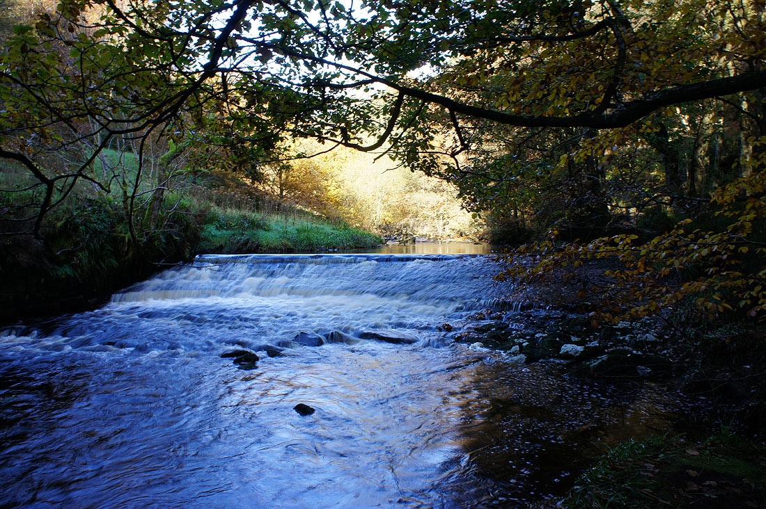

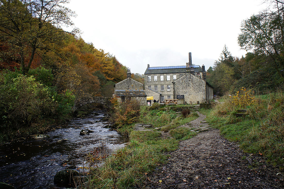
Gibson Mill. The path by Hebden Water ends here so I'll continue up the valley on a forest track.
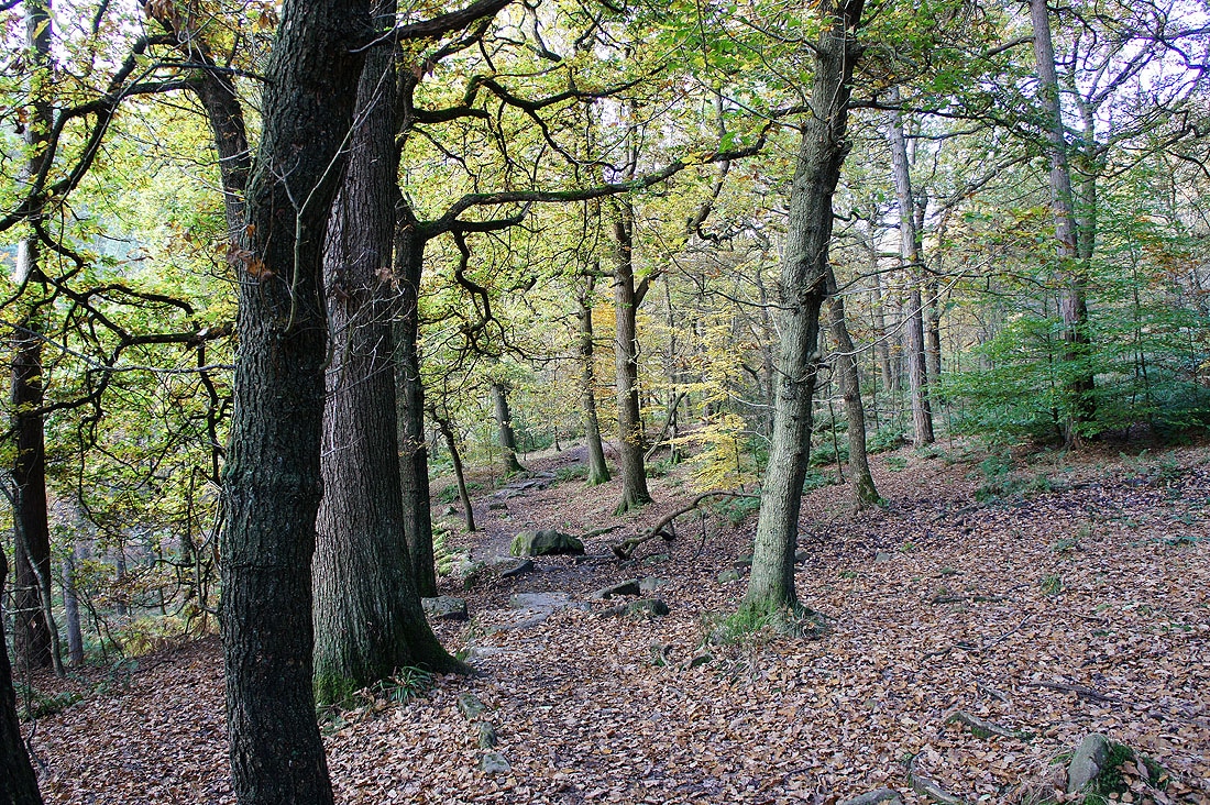
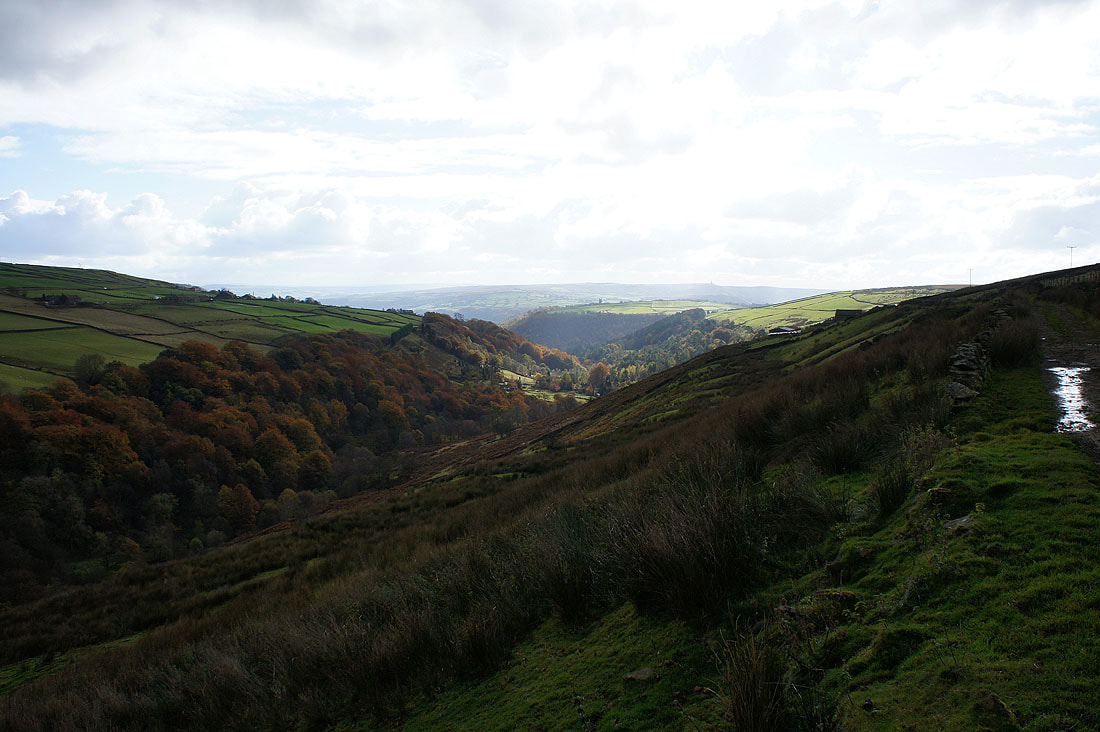
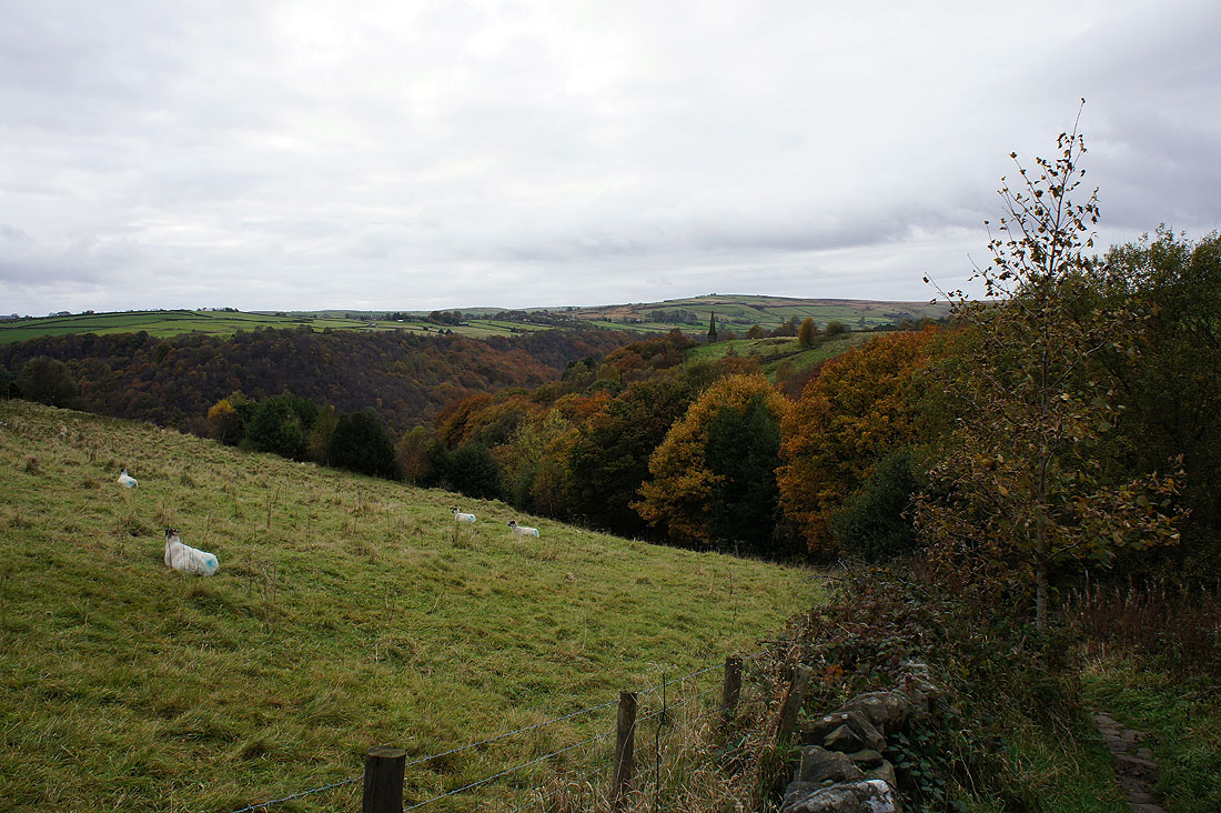
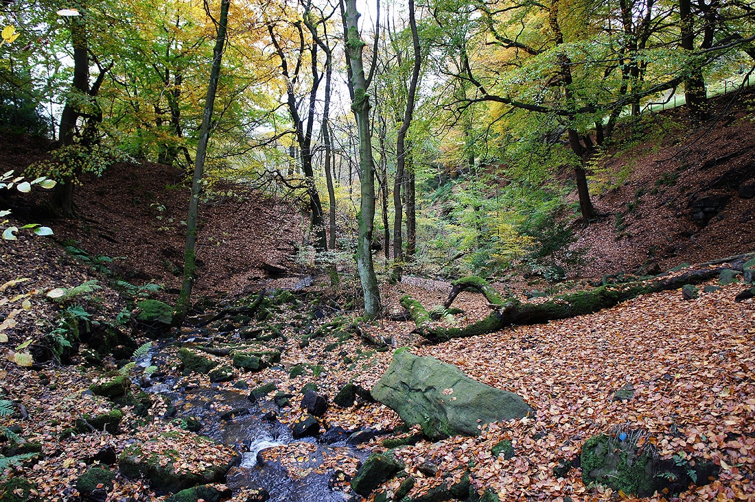
More autumn colour to come. Hebden Water is in a steep valley at this point. The track is quite a bit above it. If you're wondering where Hardcastle Crags are, I've just walked past them. The outcrops of gritstone that make them up are covered in bracken, heather, moss and are surrounded in trees. I did take a picture but it doesn't show much of them at all so I've not included it.
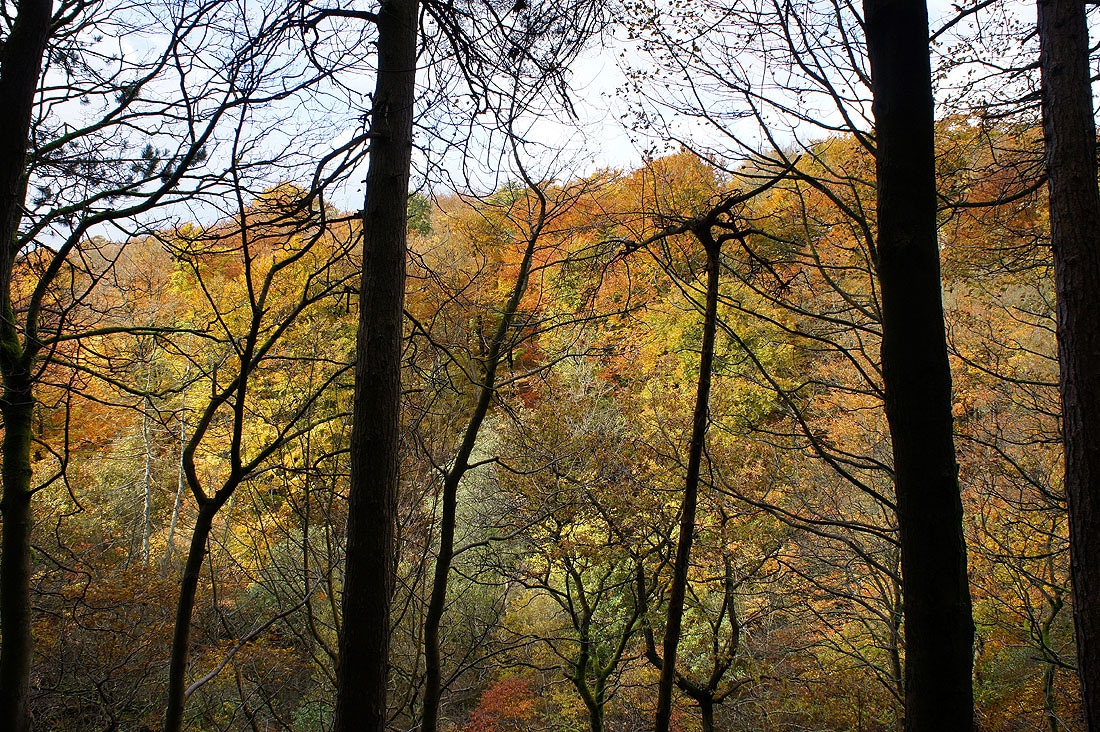
Plenty of colour on the other side of the valley
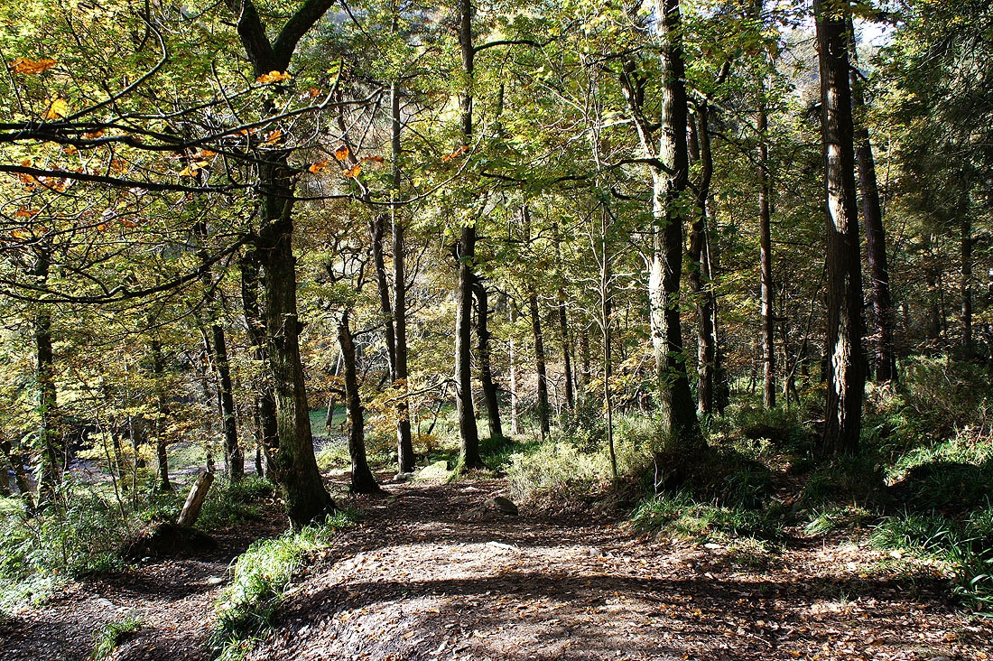
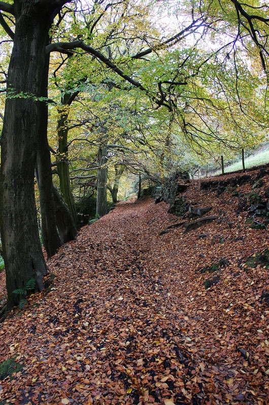
Rowshaw Clough. Time to head uphill and across to Crimsworth Dean. The path zig-zags up through the woods and then across farmland.
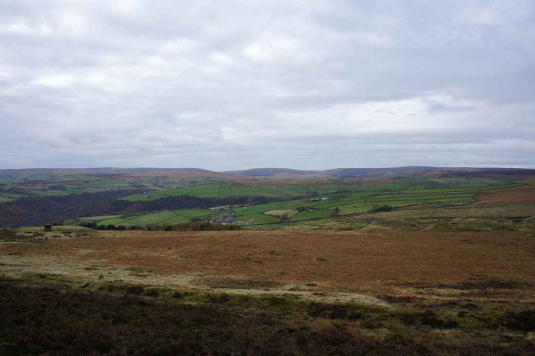
Looking back from the path over to Crimsworth Dean. The valley of Hebden Dale is down on the left.
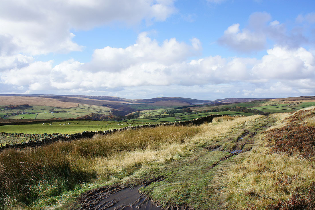
One last look across to Heptonstall and Widdop Moors
Dropping down into Crimsworth Dean
Crimsworth Dean. The weather was starting to change at this point as it clouded over and a cold wind picked up.
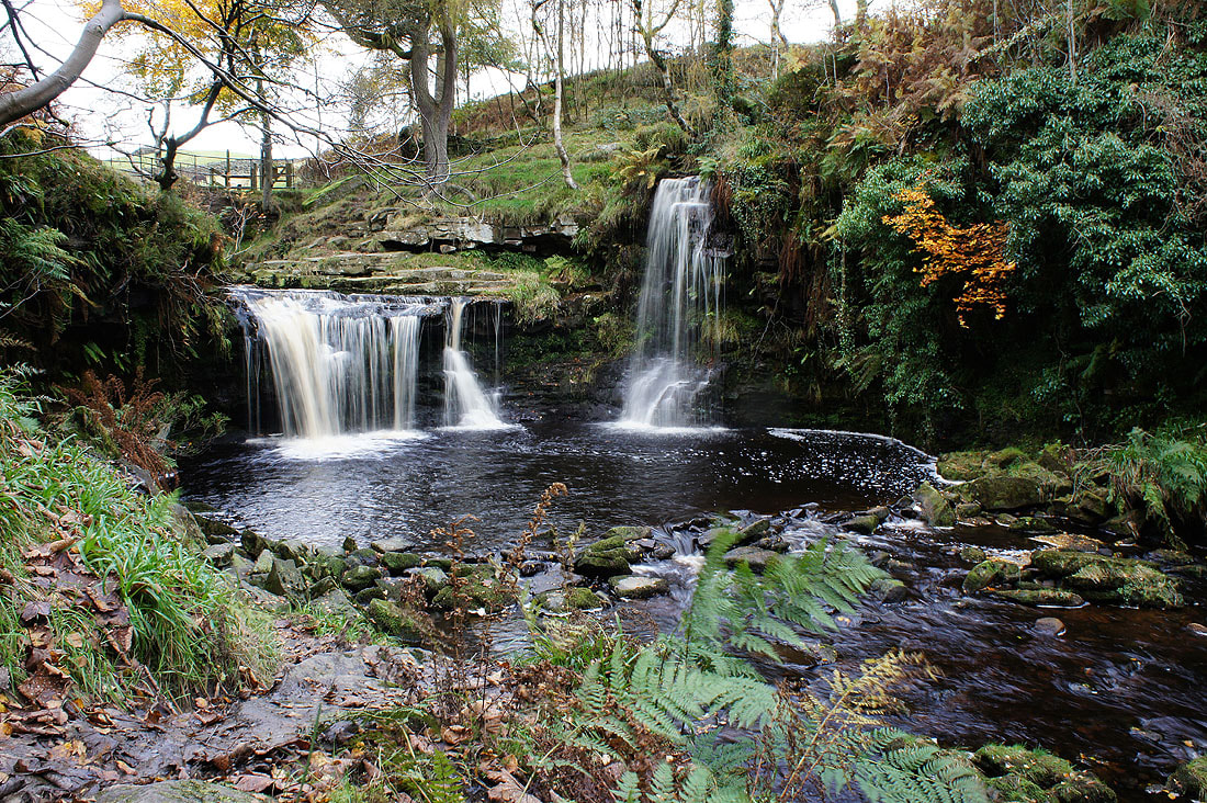
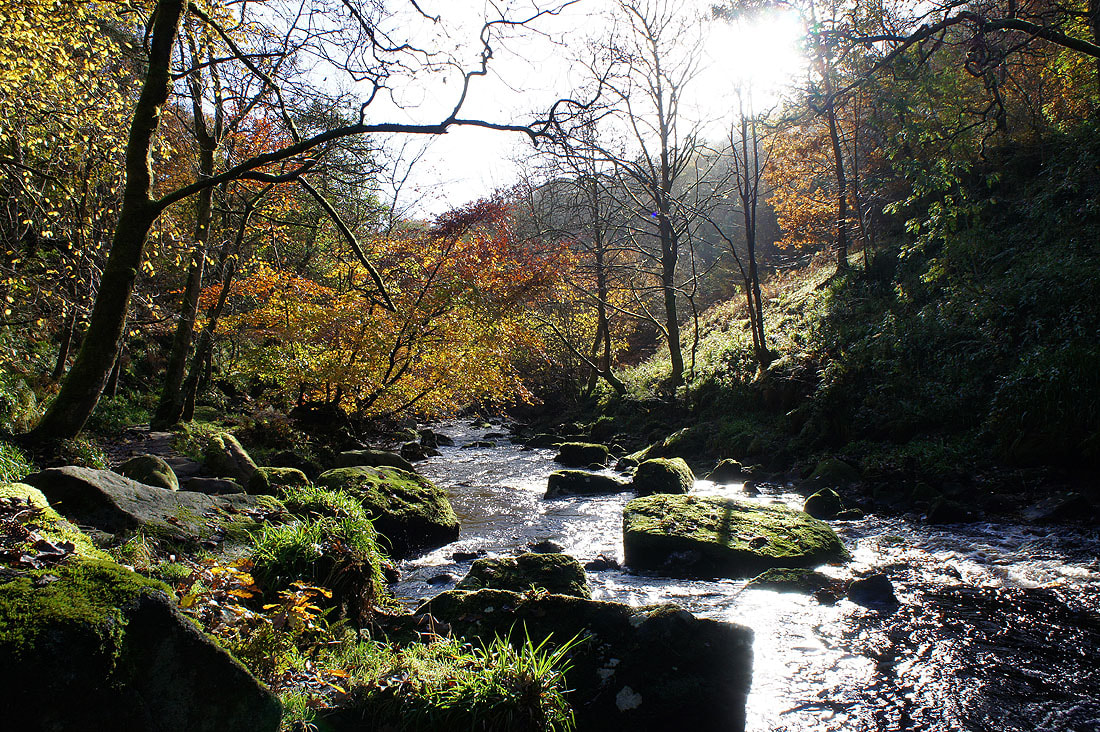
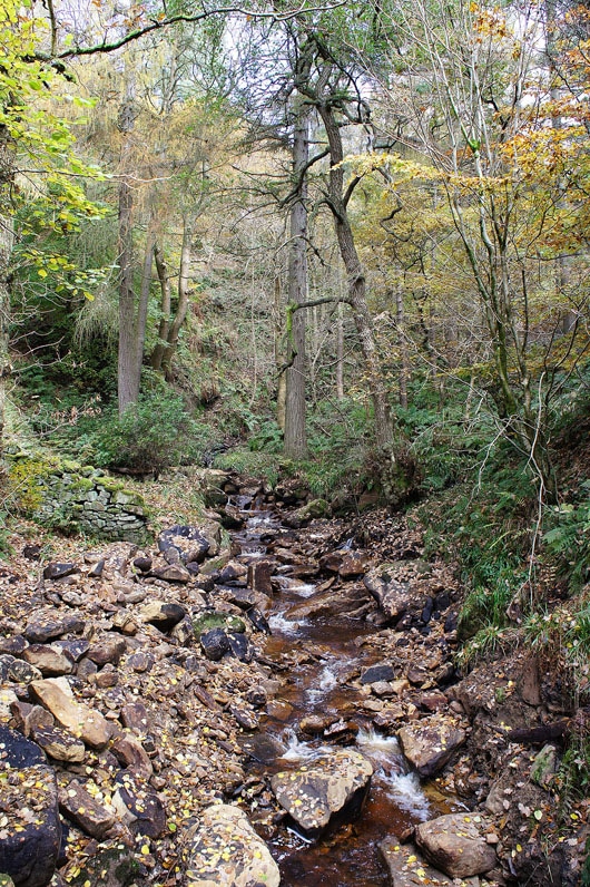
Lumb Hole Waterfall
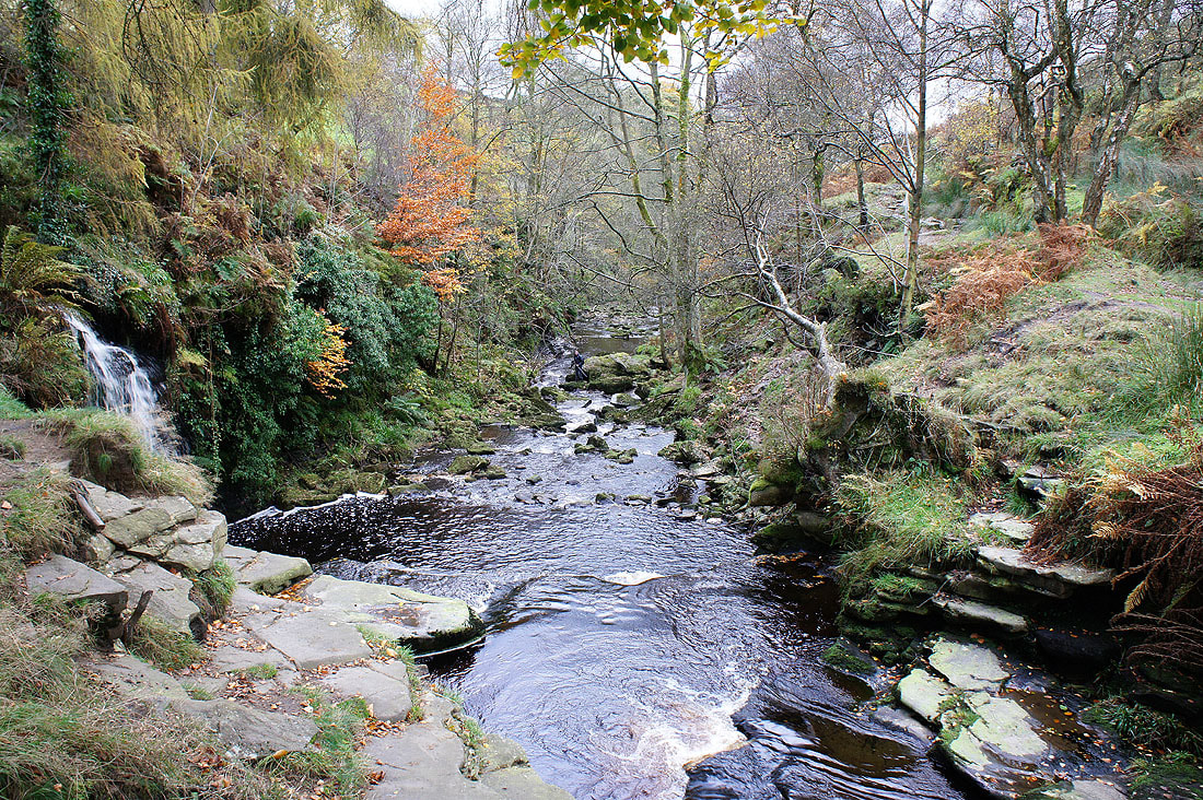
Crimsworth Dean Beck from the bridge over the falls
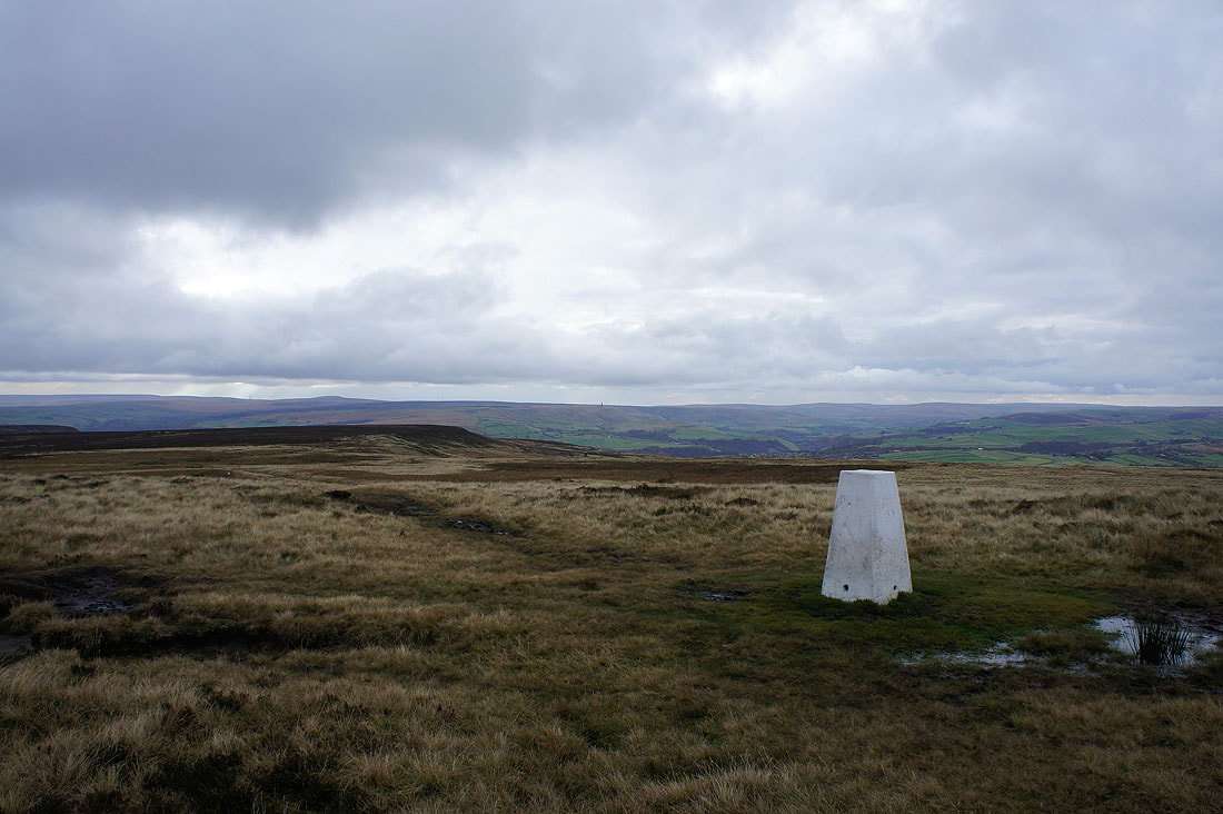
By the trig point on High Brown Knoll and it feels like a completely different day now. It's windy, it feels bitterly cold and there are a few snow flurries passing through to add to the wintery feel.
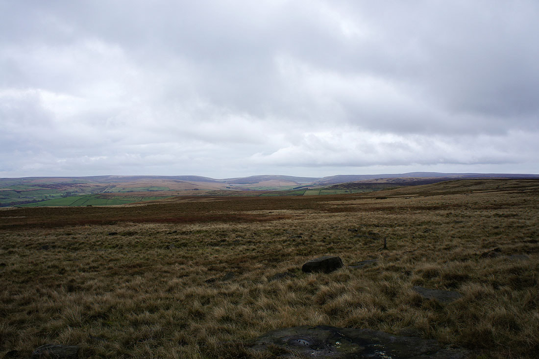
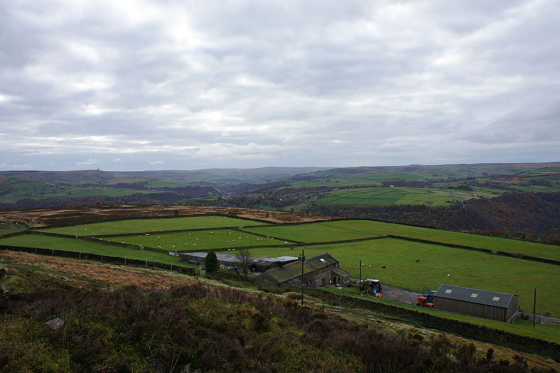
Heptonstall and Widdop Moors and Boulsworth Hill
South Pennines moors
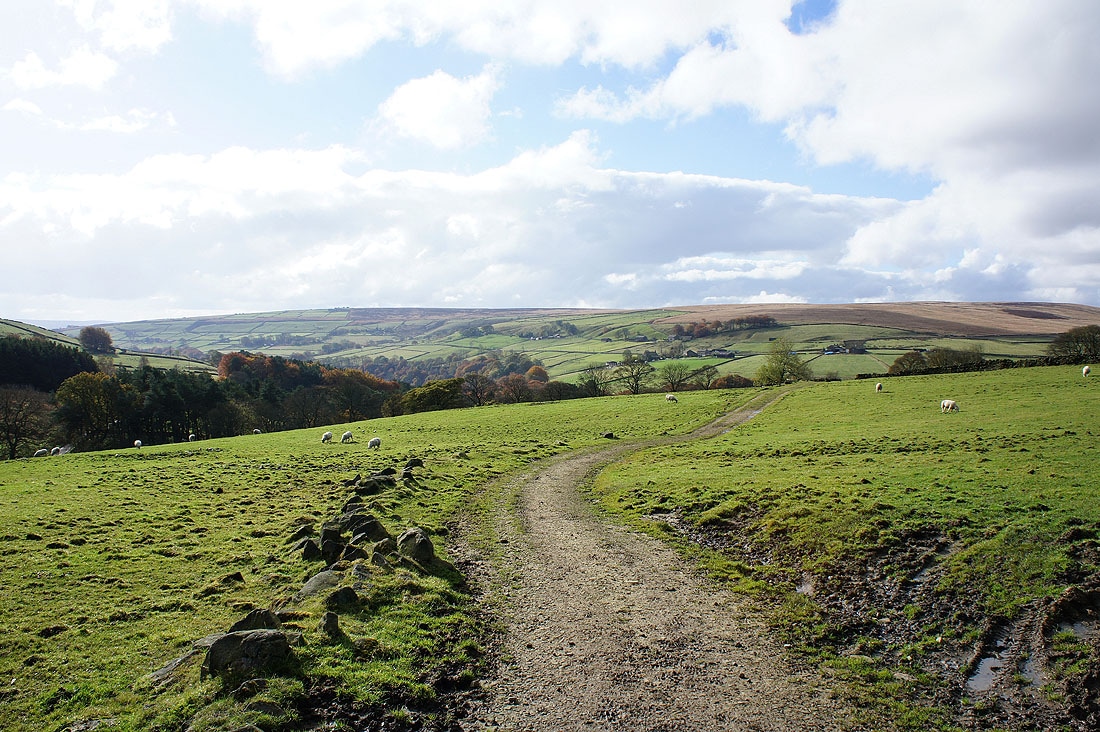
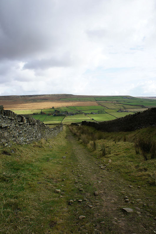
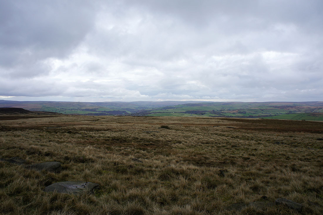
I've left High Brown Knoll and arrived on Deer Stones Edge and you can now see where I'm heading back to with the thickly wooded valleys of Hebden Dale and Crimsworth Dean below.
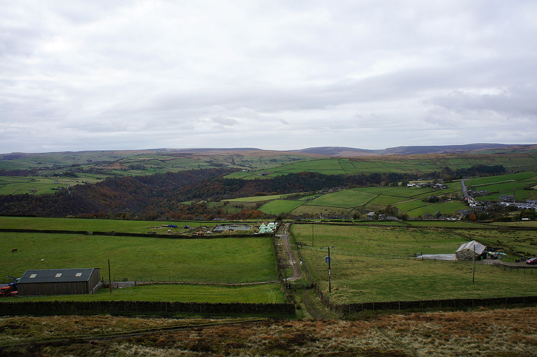
Above Old Town Slack Farm and that track is my way forward
Looking up Calderdale towards Todmorden
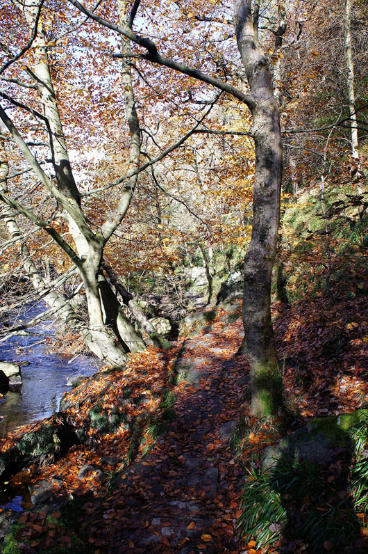
Back down into the woods
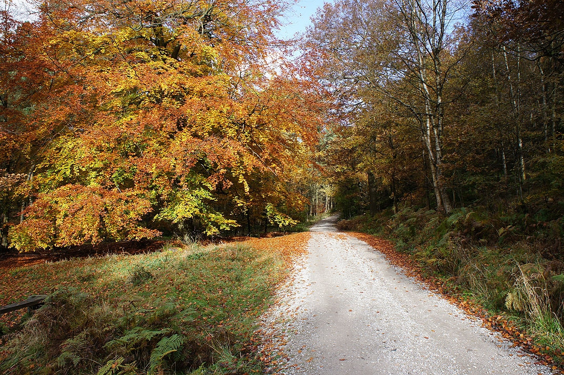
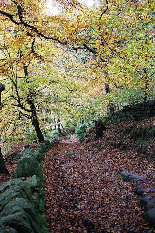
Back to the car park through the woods of Pecket Well Clough...
|
|