26th October 2013 - A walk east of Pendle
Walk Details
Distance walked: 6.3 miles
Total ascent: 1112 ft
OS map used: OL41 - Forest of Bowland & Ribblesdale
Time taken: 4 hrs
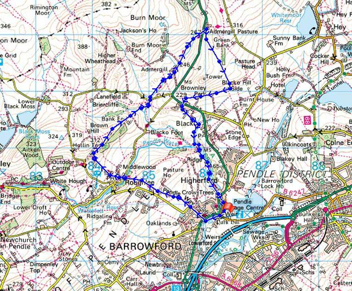
Route description: Barrowford-Pendle Way-Roughlee-Pendle Way-Hollin Top-Pendle Way-Admergill-A682-Blacko Hill-Blacko Hill Side-Blacko-Pendle Way-Barrowford
A short walk to take advantage of a break in the bad weather. I often drive through Barrowford enroute to the Yorkshire Dales so it was nice to see what the surrounding countryside is like to walk through.
From Barrowford I followed the Pendle Way across to Roughlee. I kept on the Pendle Way for a short while after Roughlee to then leave it for the driveway of Hollin Top. Field paths then took me across to Wheathead Lane. It was then back to following the Pendle Way by Admergill Water up to the A682. Once across the road it was time to head back. A path took me across Blacko Hill to Blacko Hill Side and down to Blacko. I was soon back on the Pendle Way for Barrowford.
Route map
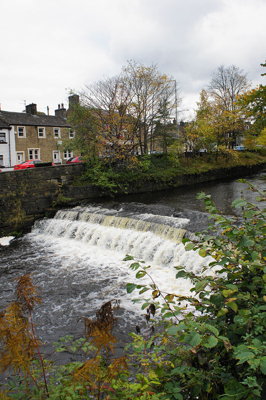
The weir on Pendle Water in Barrowford
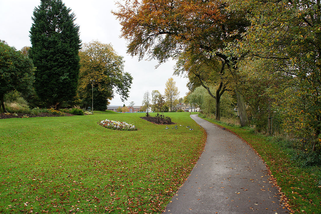
Walking through the public park in Barrowford
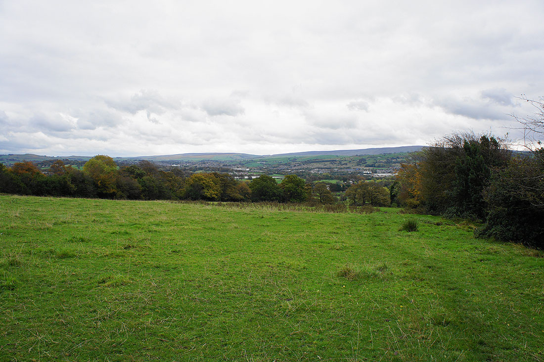
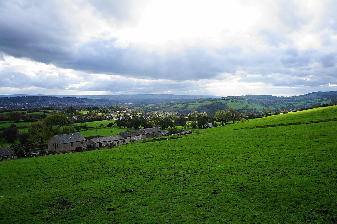
Looking back as I gain height and the South Pennines come into view
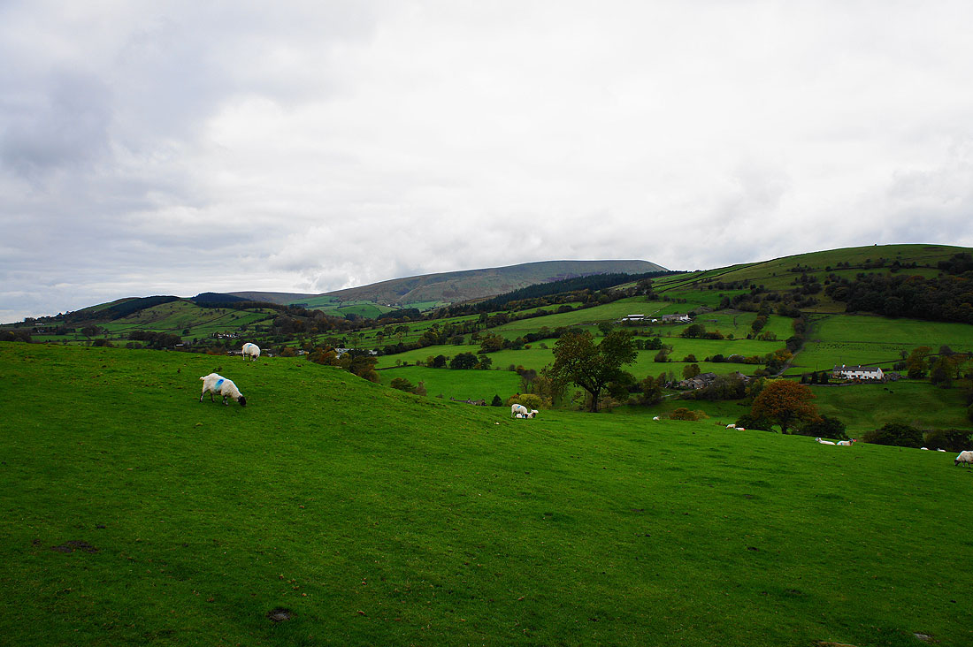
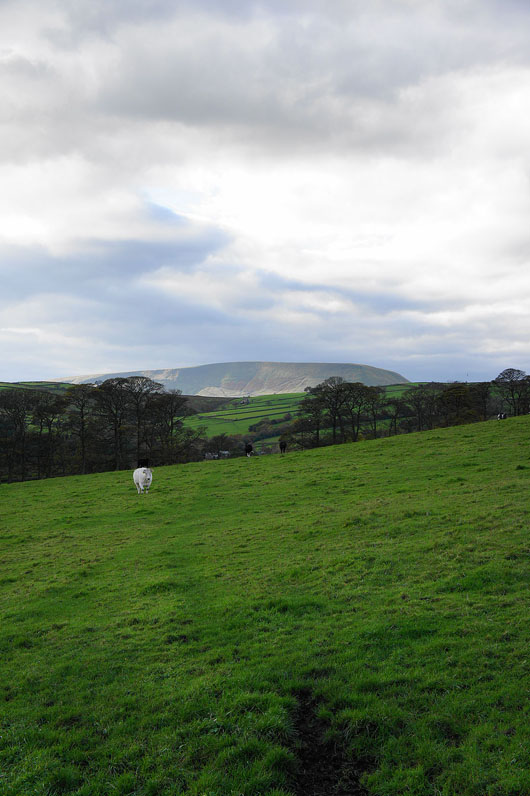
The distinctive profile of Pendle Hill appears as I reach the top of the hill before the descent into Roughlee and the valley of Pendle Water
To my right is the countryside I'll be walking through later in the day with Blacko Hill on the right
Roughlee below
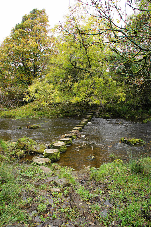
Crossing Pendle Water. The stepping stones themselves were perfectly safe to cross but getting across the quagmire to reach them wasn't.
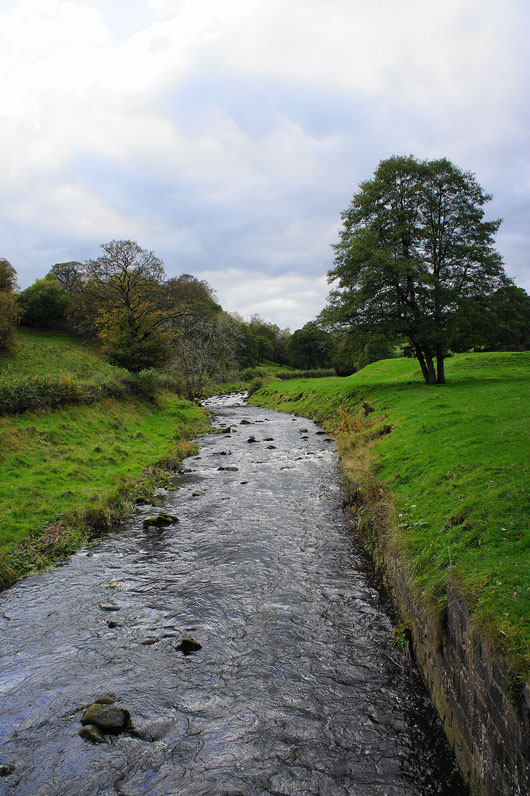
Pendle Water from the stones
Roughlee and Boulsworth Hill in the distance
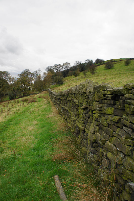
One of the many fine examples of the dry-stone wallers art
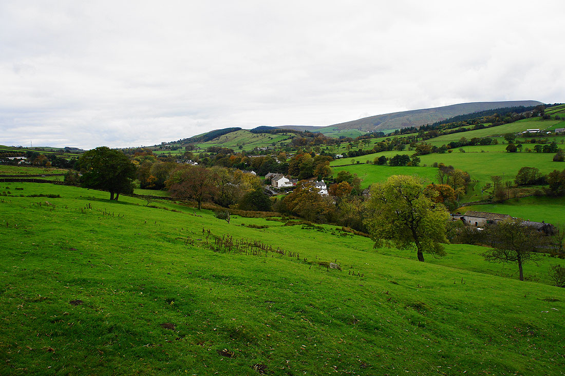
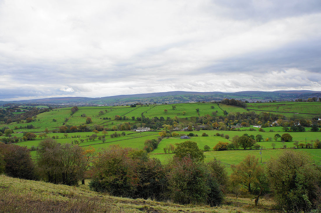
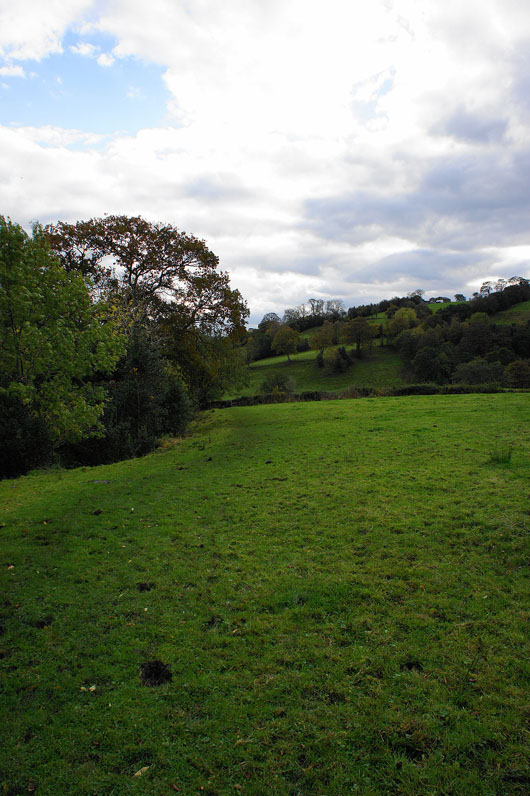
The valley of Admergill Water and Blacko Hill ahead as I descend the hill to cross Blacko Water
Blacko Water
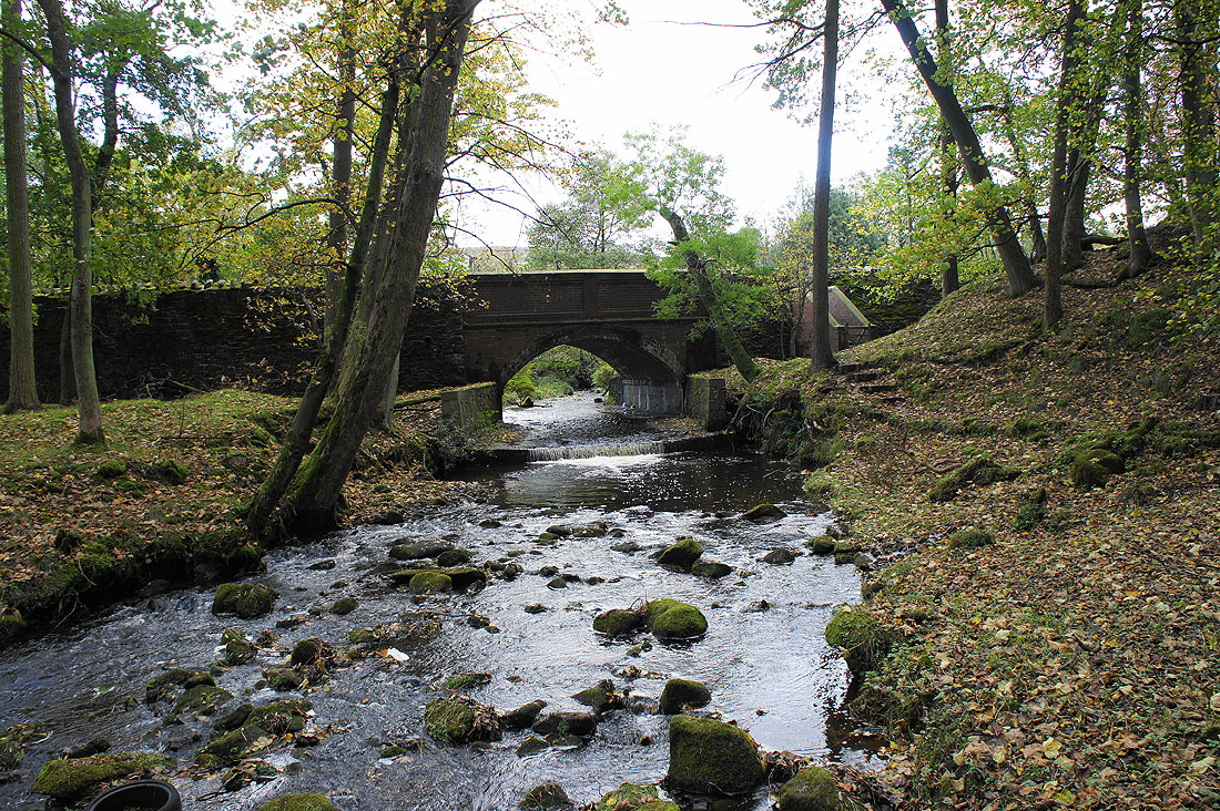
The bridge carrying Wheathead Lane over Blacko Water. I'm back on the Pendle Way.
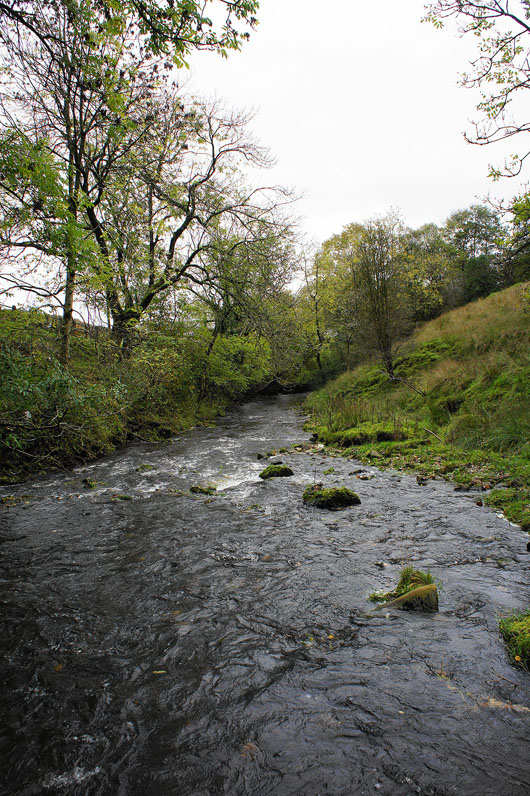
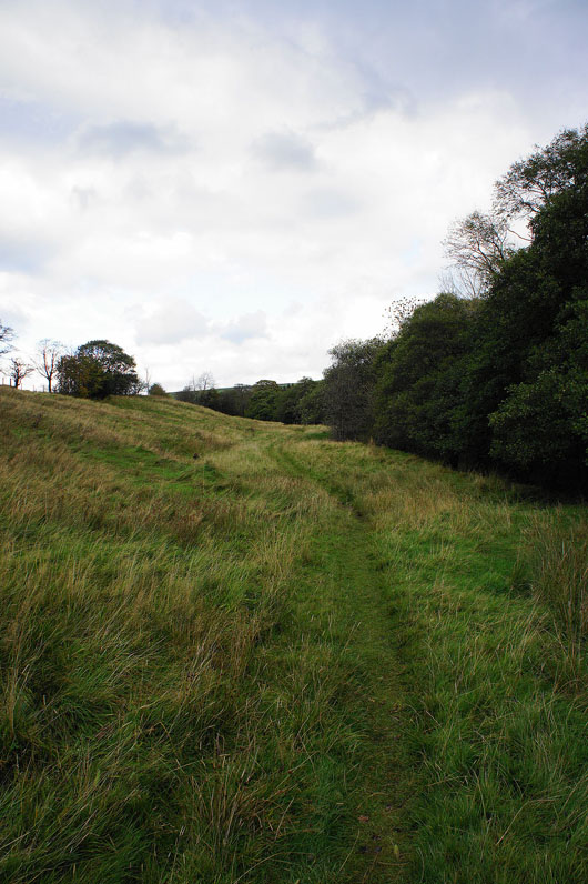
On the Pendle Way by Admergill Water
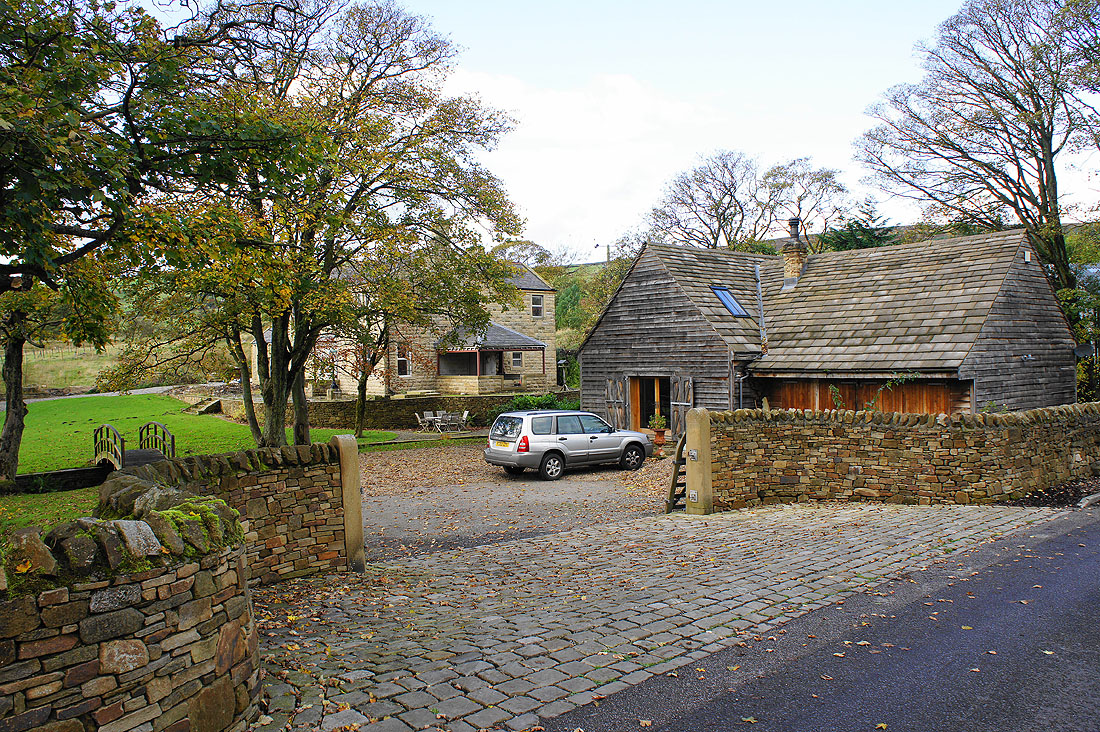
Admergill Hall
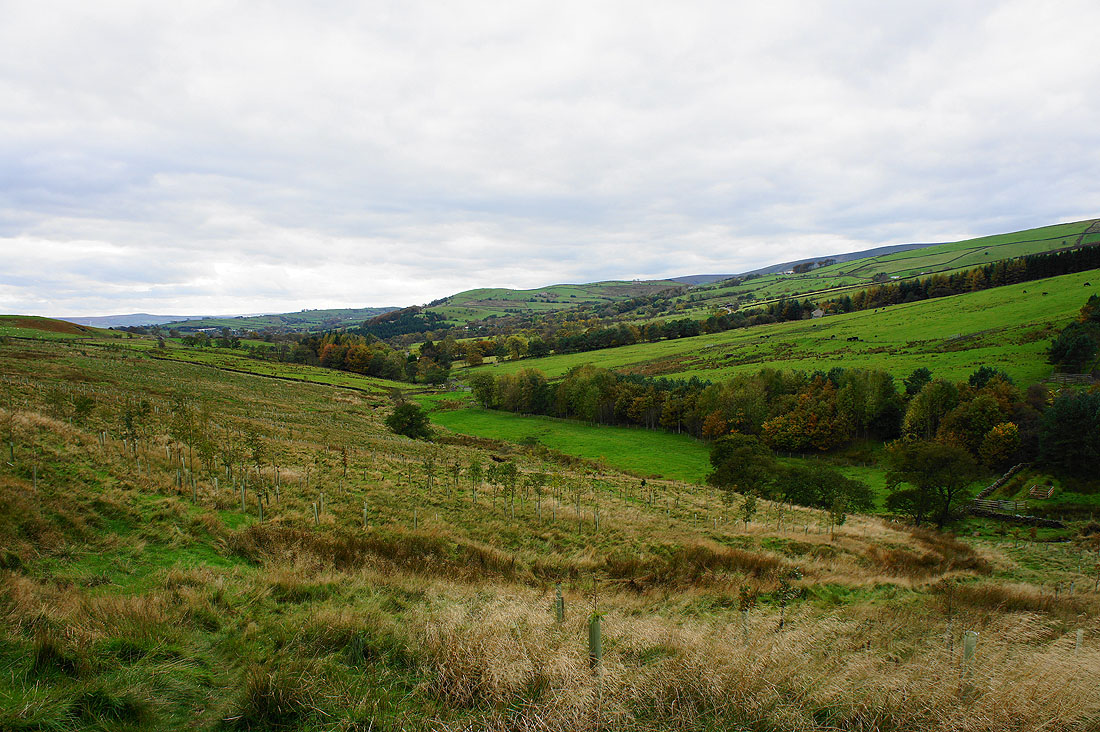
The valley of Admergill Water as I reach the A682
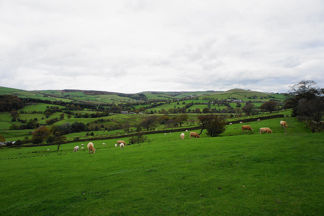
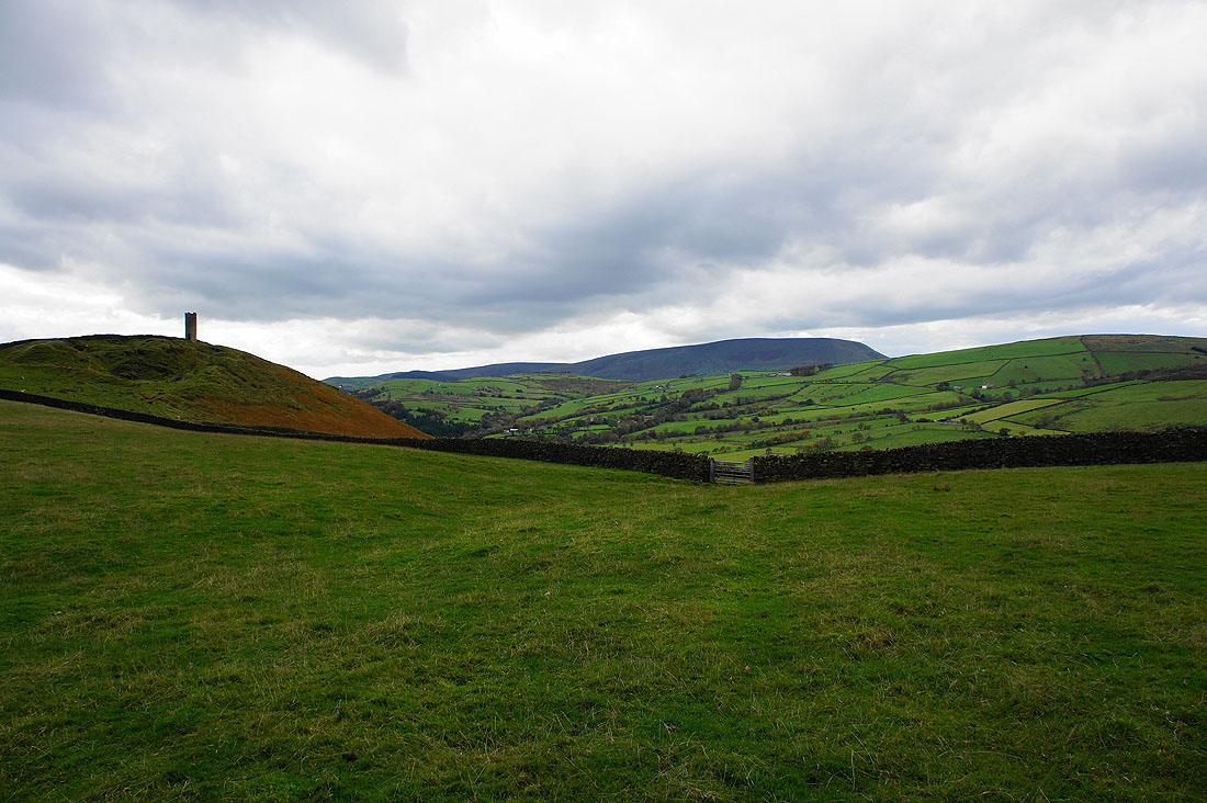
Crossing Blacko Hill and Pendle Hill reappears. That's Stansfield Tower on the left, it's on private land and there's no access.
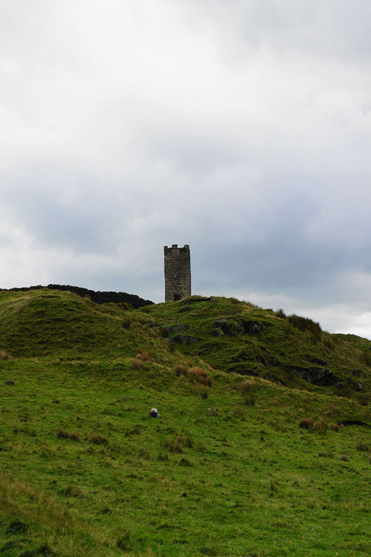
Stansfield Tower
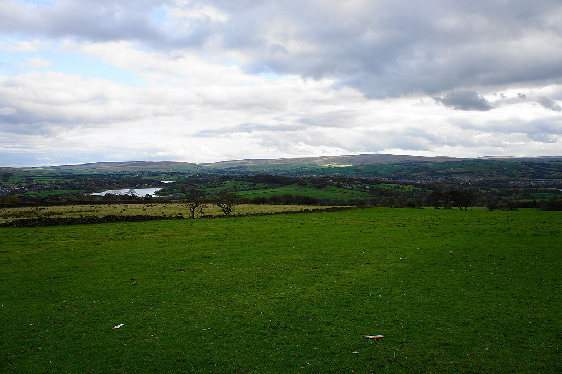
Foulridge Lower Reservoir and Boulsworth Hill
Heading down to Blacko
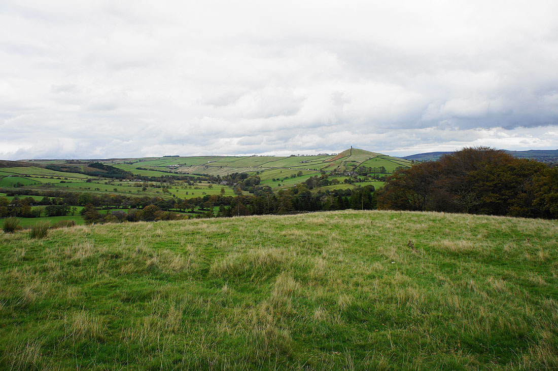
My final view of Pendle Hill for the day
Heading down to join the Pendle Way again by Pendle Water
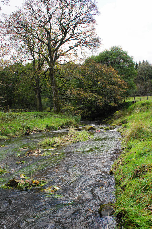
Pendle Water
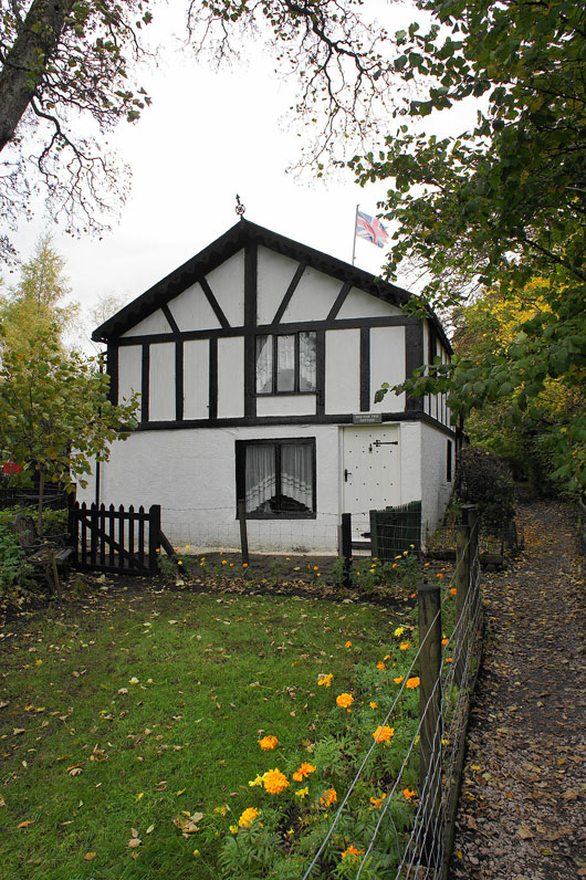
Old Oak Tree Cottage
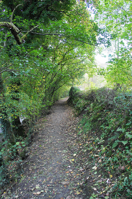
Following the Pendle Way by Pendle Water back to Barrowford
