26th September 2010 - A Coniston Round
Walk Details
Distance walked: 9.7 miles
Total ascent: 4001 ft
OS map used: OL6 - The English Lakes, South-western area
Time taken: 7 hrs
Route description: Coniston-Church Beck-Low Water-The Old Man of Coniston-Brim Fell-Grey Friar-Great Carrs-Swirl How-Prison Band-Wetherlam-Hole Rake-Church Beck-Coniston
A round of the Coniston fells from Coniston. I set off from Coniston and made my way up Coppermines valley and used the route via Low Water to get to the summit of The Old Man of Coniston. From there I went over Brim Fell to Grey Friar, then to Great Carrs and Swirl How. I then made my way over to Wetherlam before walking back down to Coniston.
Route map
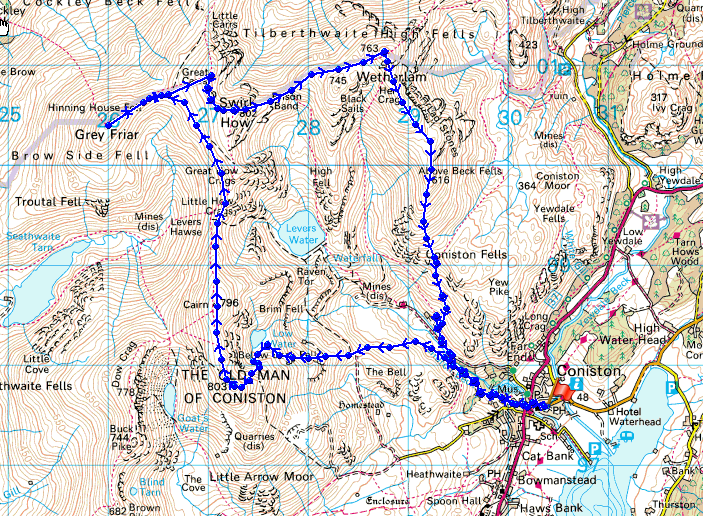
© Crown copyright. All rights reserved. License number PU 100034184.
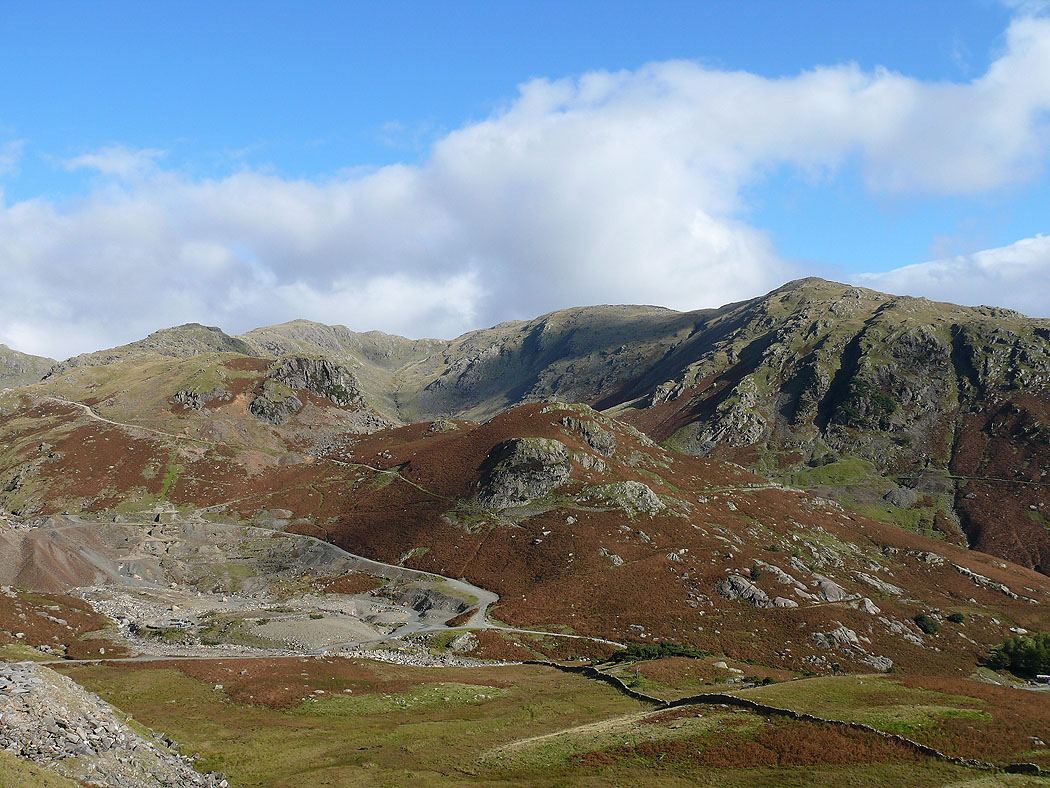
A view down into the Coppermines valley from the path up to the Old Man
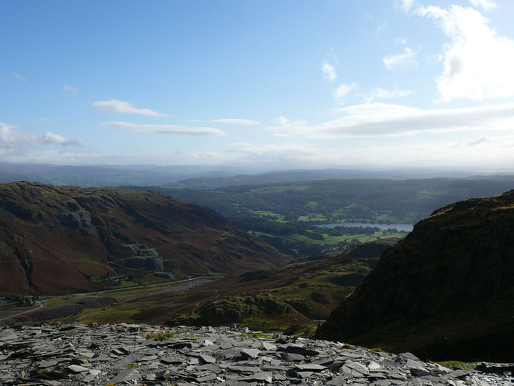
The view back down to Coniston
Black Sails and Wetherlam
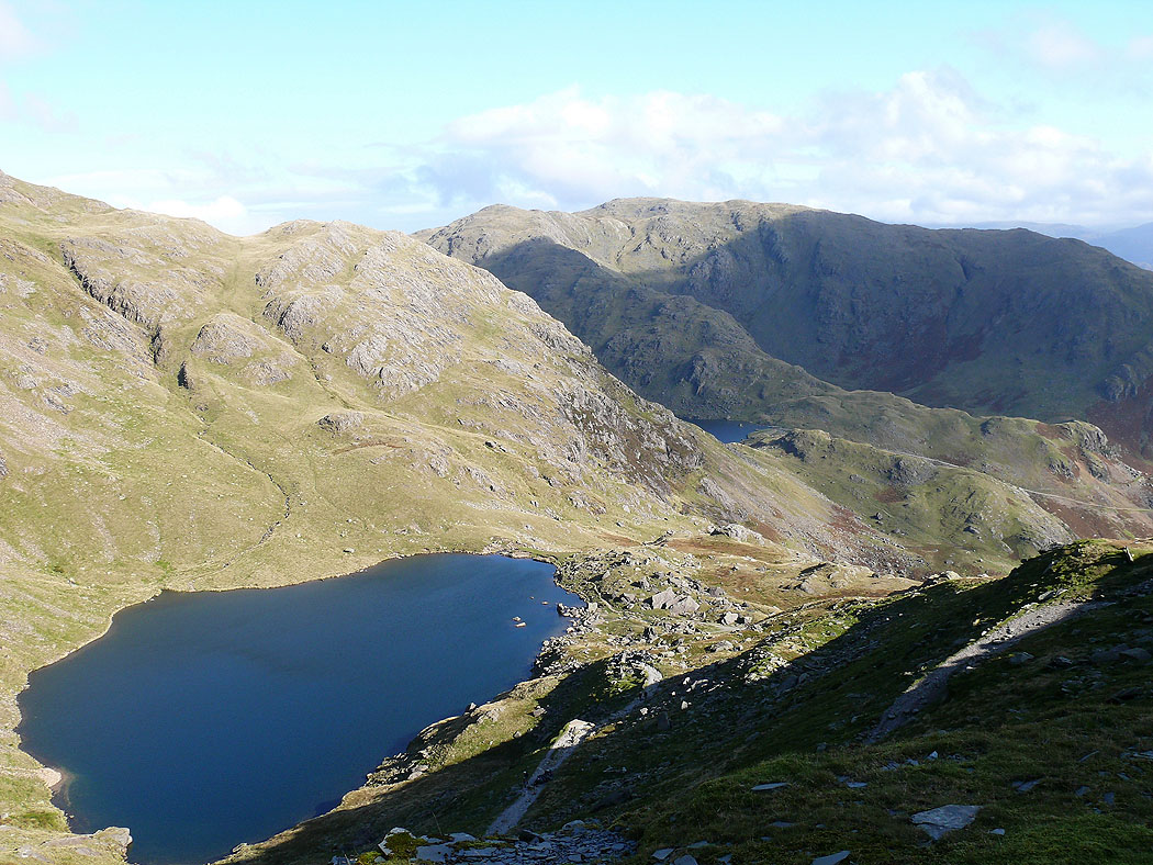
Low Water from the path up to the Old Man
On the Old Man of Coniston
Wetherlam
Brim Fell with the Scafells in cloud in the distance
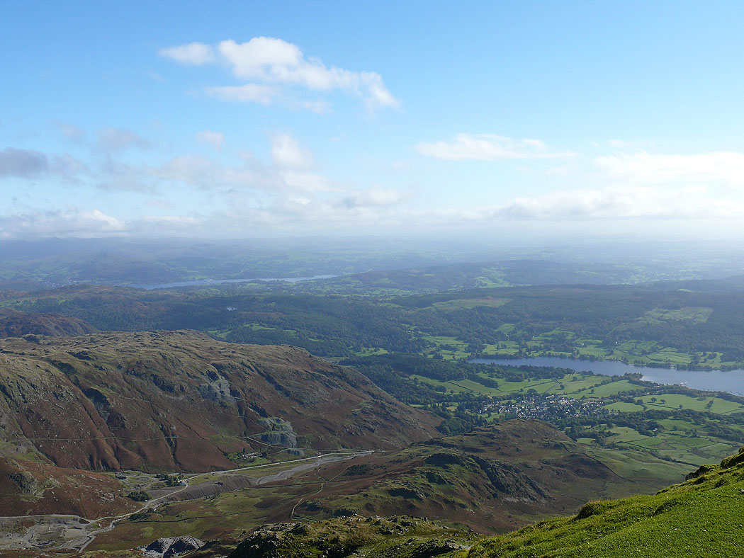
The view down to Coniston
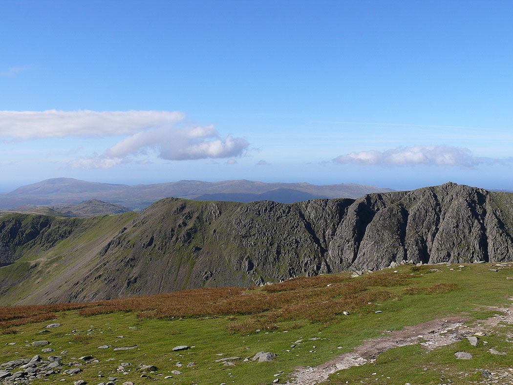
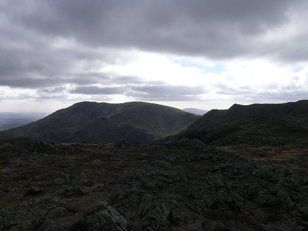
Dow Crag
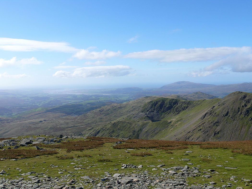
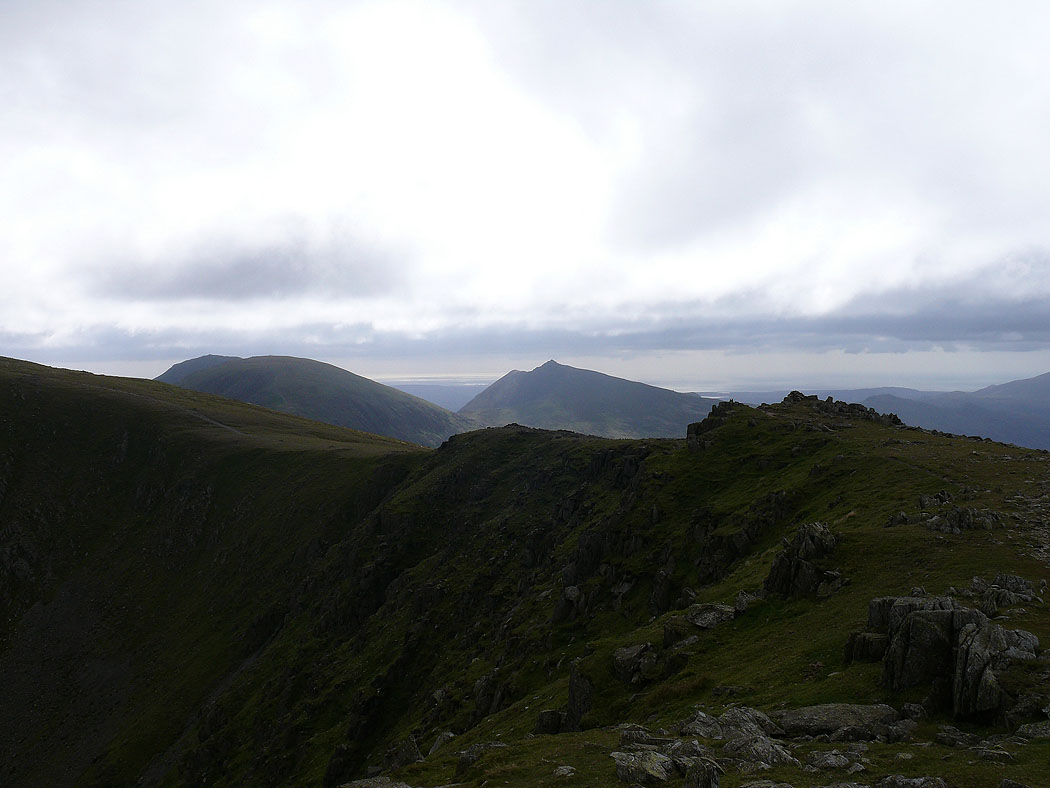
The view out to the Duddon estuary
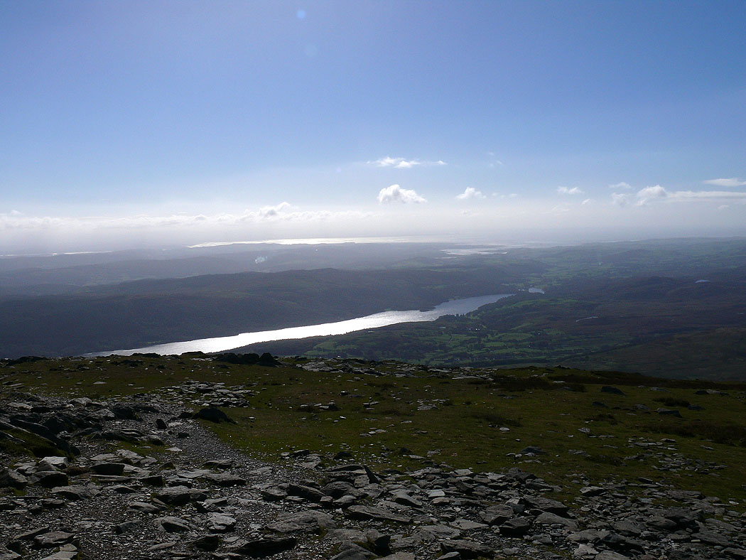
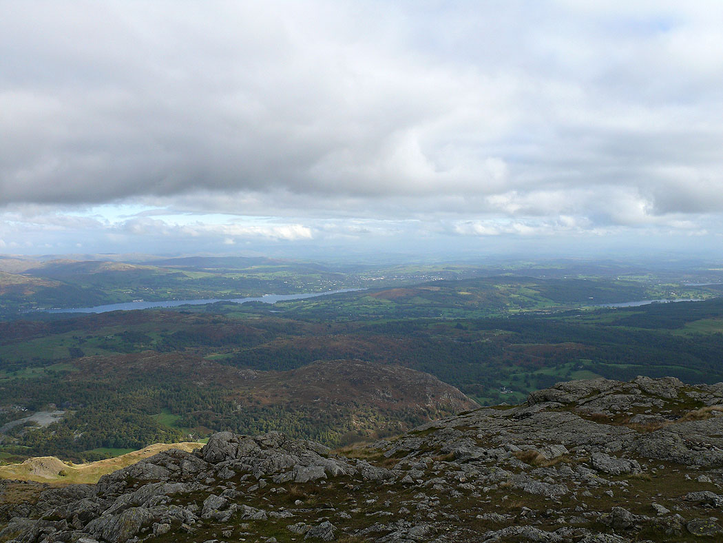
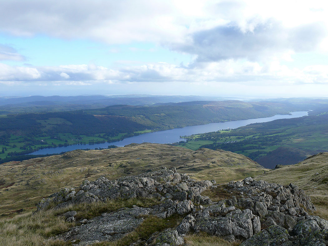
Coniston Water
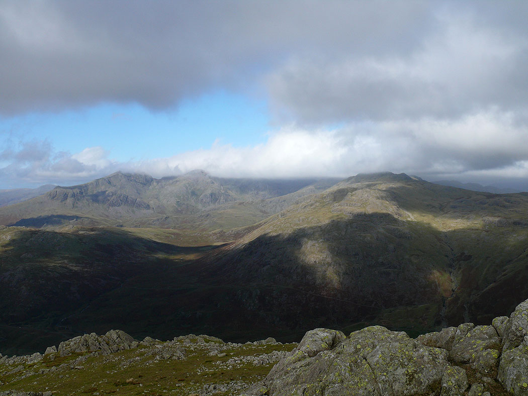
The Scafells from Brim Fell
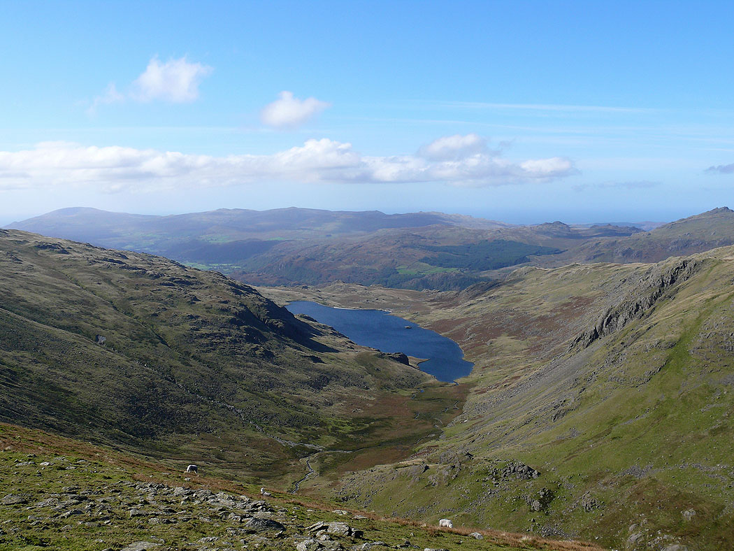
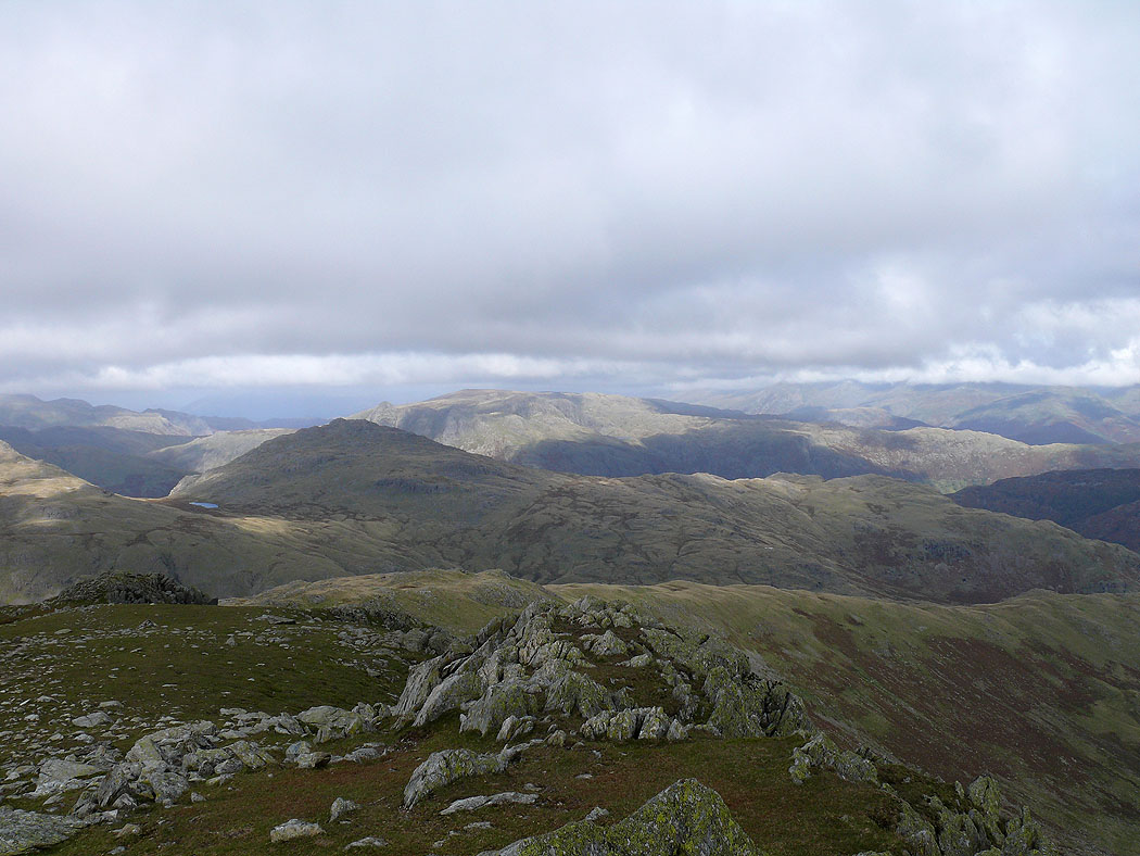
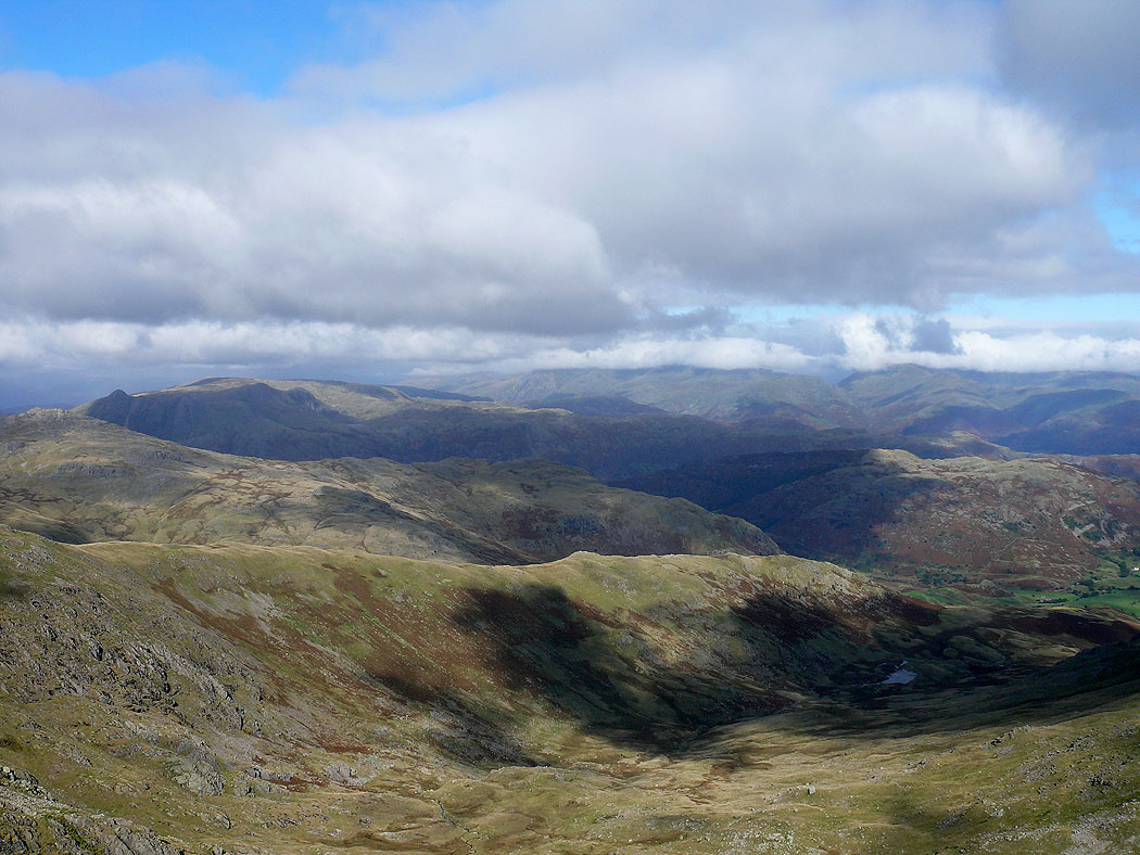
Seathwaite Tarn
Dow Crag from Grey Friar
The Scafells hidden by cloud
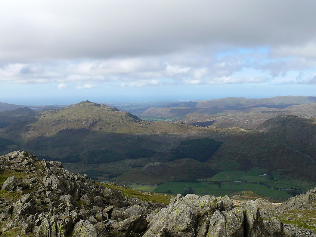
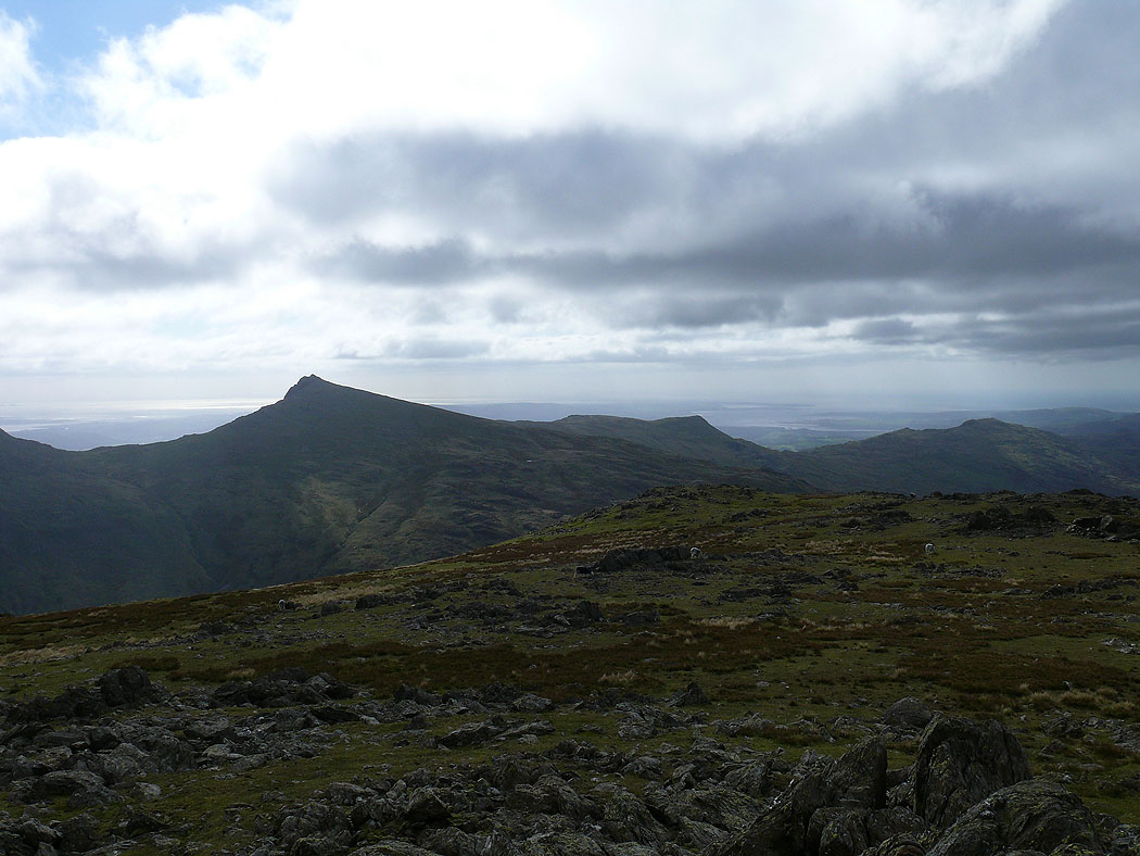
Harter Fell
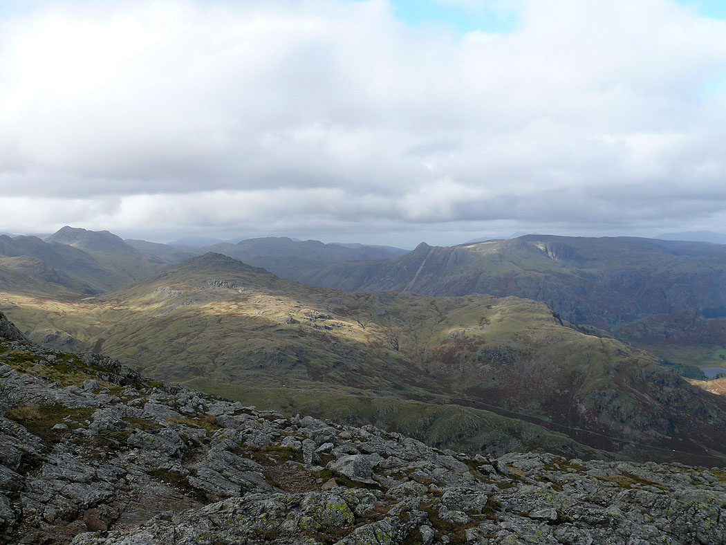
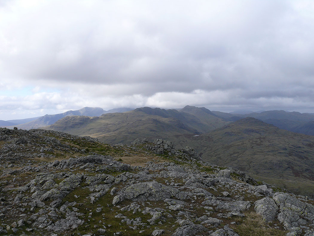
On Great Carrs. The view north to Pike o'Blisco and the Langdale Pikes.
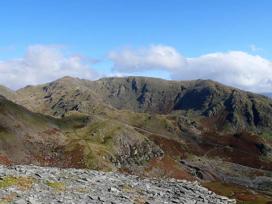
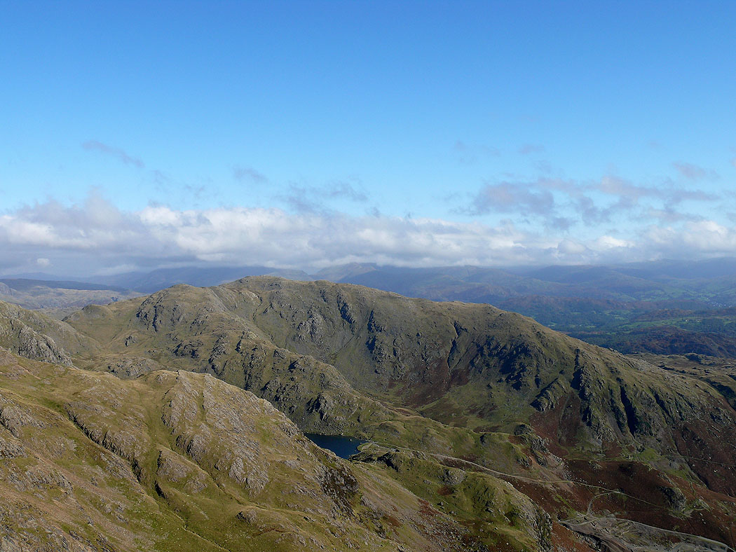
Greenburn and Wetherlam
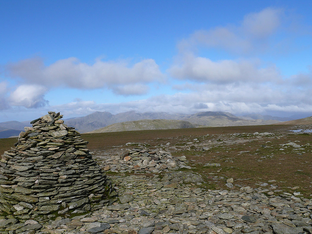
The Old Man of Coniston and Dow Crag
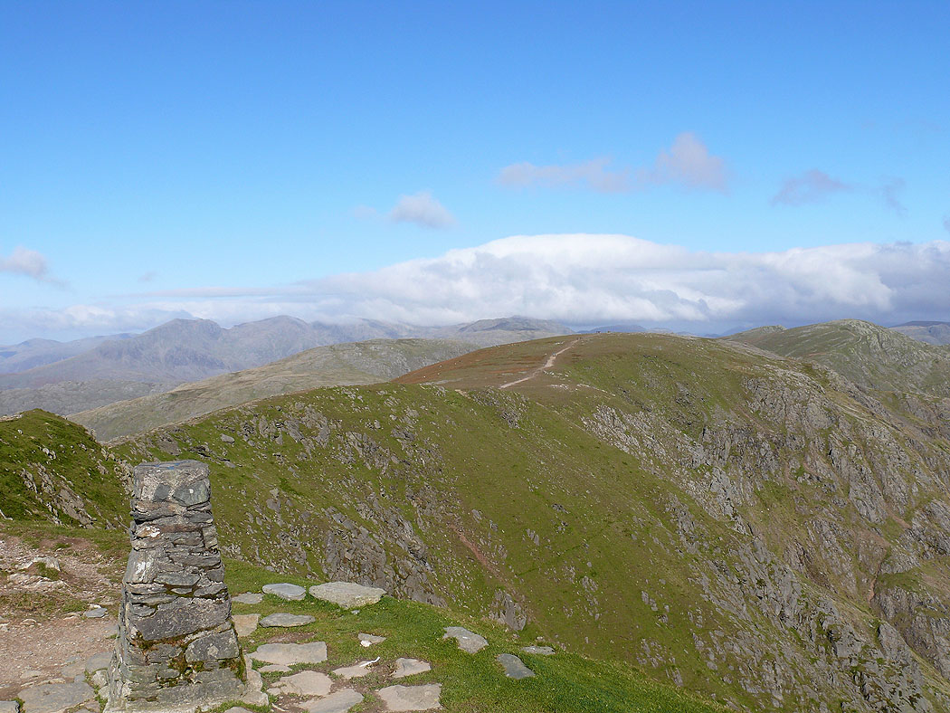
On Swirl How. The view north to Pike o'Blisco and the Langdale Pikes.

Wetherlam
A cloud covered Helvellyn range in view
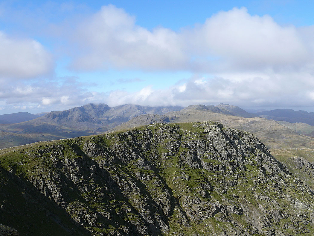
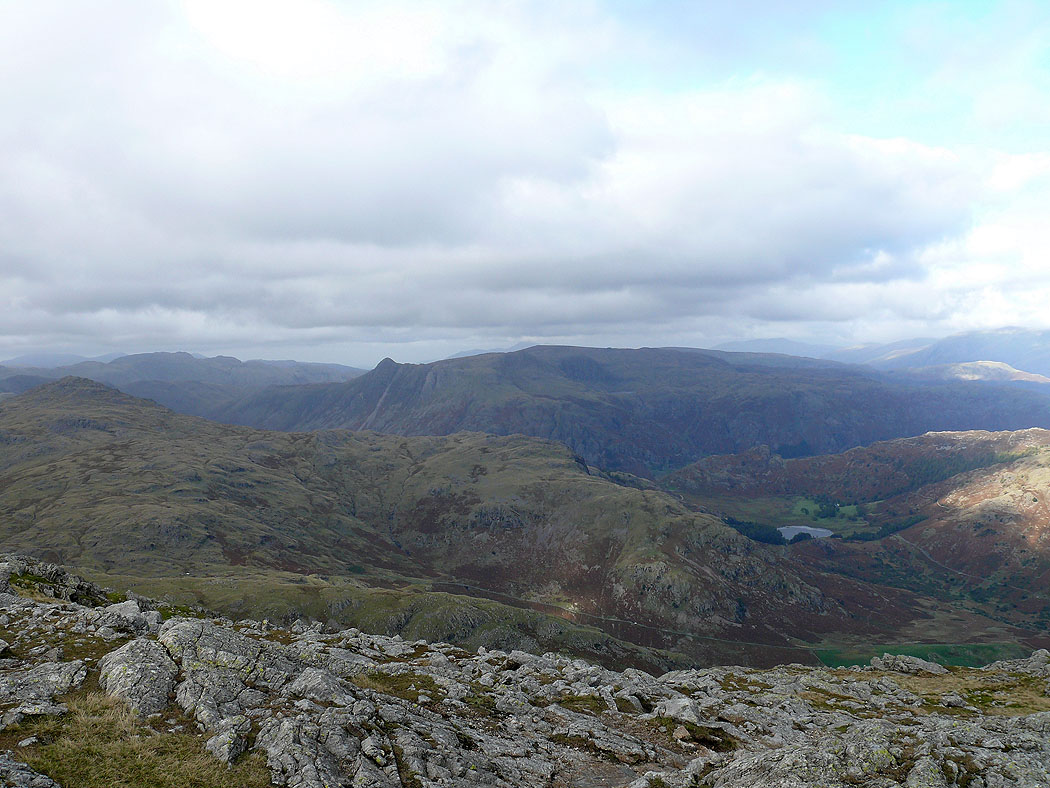
The Scafells and Bowfell in the distance beyond Great Carrs
On the summit of Wetherlam
Helvellyn and Fairfield in cloud
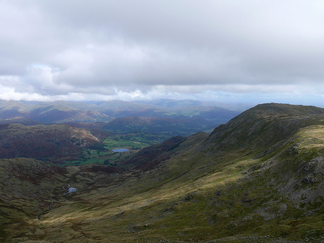
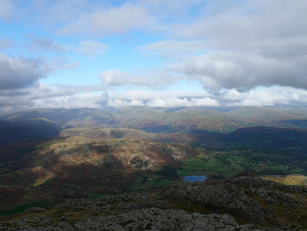
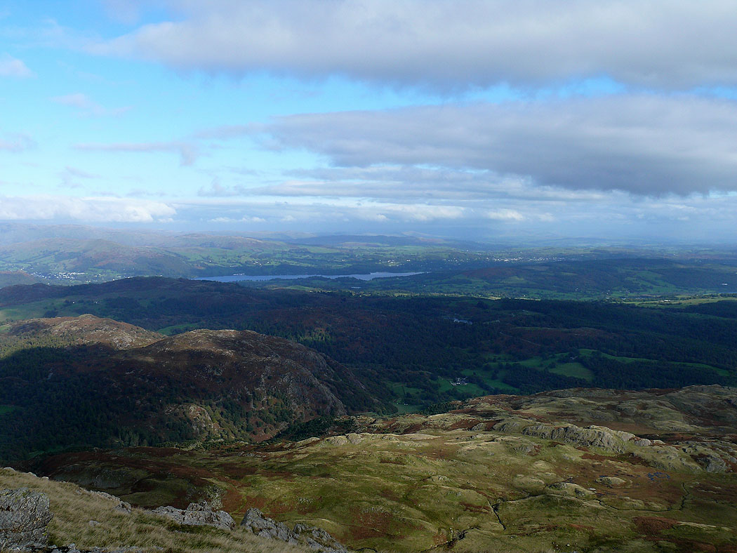
Windermere and Esthwaite Water
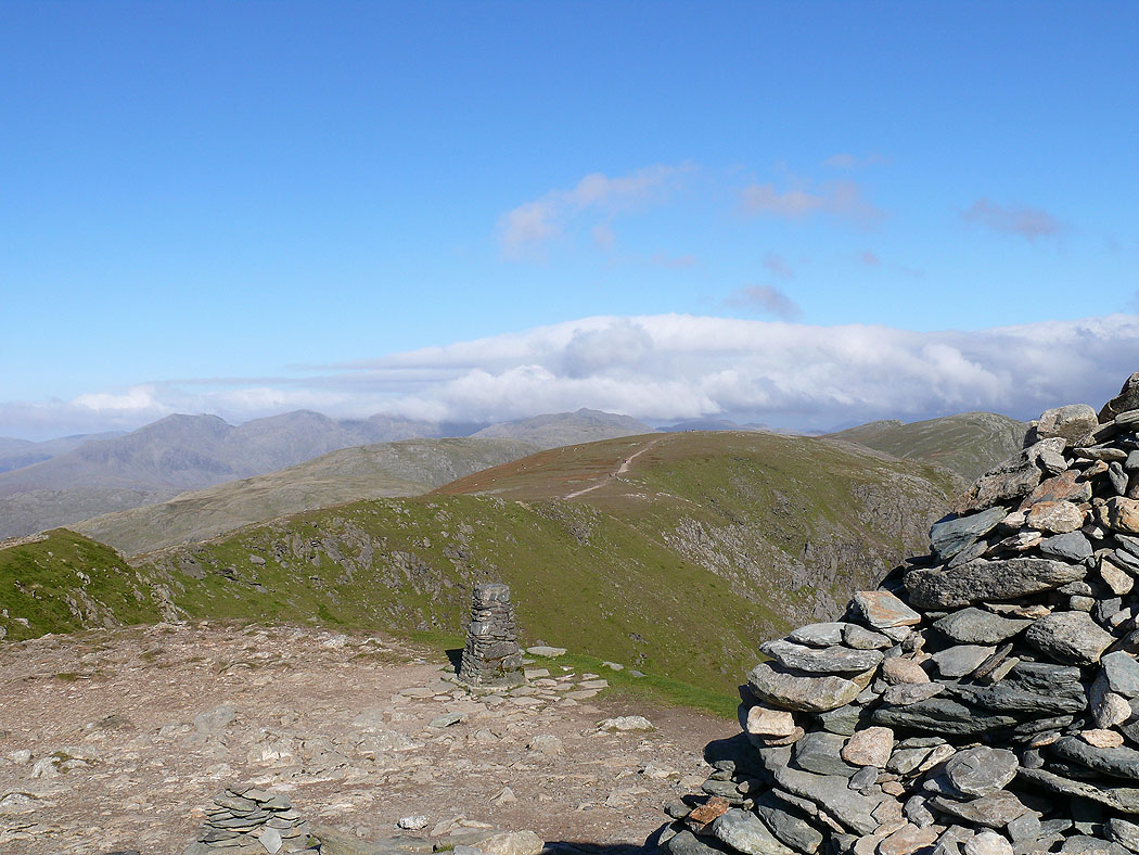
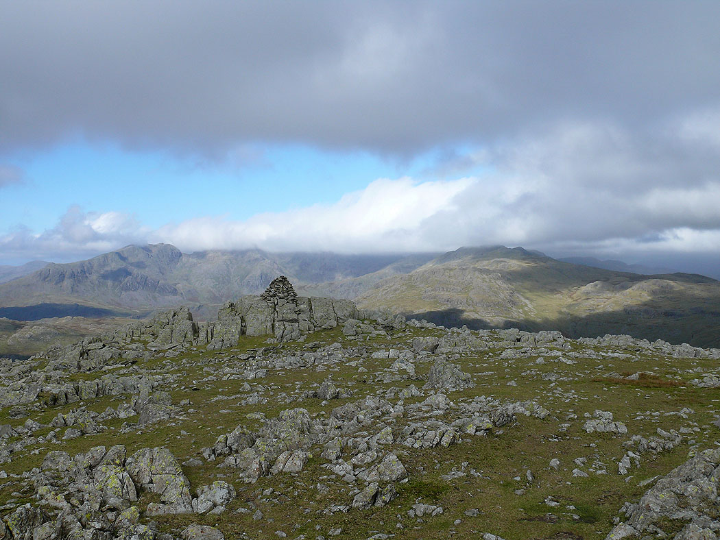
Coniston Old Man and Brim Fell
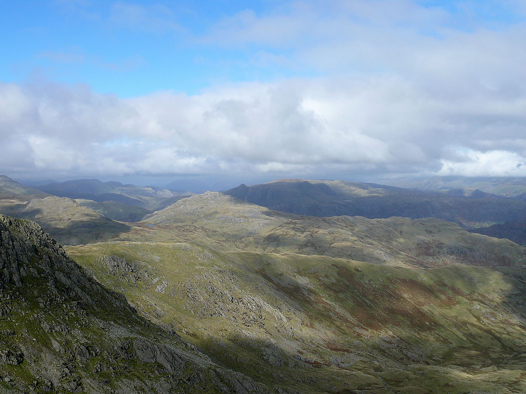
The view across to the Crinkle Crags and Bowfell
The Langdale Pikes
The view across to Windermere
Coniston Water from the final descent back to Coniston