26th September 2017 - Anglezarke Moor
Walk Details
Distance walked: 9.3 miles
Total ascent: 1444 ft
OS map used: 287 - West Pennine Moors
Time taken: 4.5 hrs
Route description: White Coppice-Drinkwaters-Great Hill-Spitlers Edge-Hordern Pasture-Lower Hempshaw's-Lead Mines Clough-Alance Bridge-Yarrow Reservoir-Anglezarke Reservoir-White Coppice
I'm off work this week so I've decided to head out for walks on a couple of days if the weather is suitable. Today it is and since I wanted to set off after the morning rush hour and get back before the evening one that meant staying local. Despite it being just six months since I last did this walk I found myself in White Coppice this morning to again do this route across Anglezarke Moor. I set off from White Coppice in warm early autumn sunshine which lasted until I reached Great Hill. Unfortunately it then gradually clouded over so that after I'd crossed Anglezarke Moor the rest of the walk was done under rather overcast skies. For a weekday at the end of September I passed a surprising number of fellow walkers up on the moor.
From the hamlet of White Coppice I made my way past the cricket club, over the catchwater drain of The Goit and up the path to Great Hill. Once on Great Hill I took the flagged path south across Spitlers Edge and over Hordern Pasture. On the way down I turned right onto the path to the ruins at Lower Hempshaw's. I didn't stay on the public footpath when I reached Lower Hempshaw's however, the track that winds its way across the hillside from here and down to Lead Mines Clough is much easier to follow. After exploring Lead Mines Clough I made my way down the bridleway to Yarrow Reservoir at Alance Bridge. I then had a walk by Anglezarke Reservoir and High Bullough Reservoir to reach Moor Road, after crossing the road a short walk along the path beneath Stronstrey Bank brought me back to White Coppice.
Route map
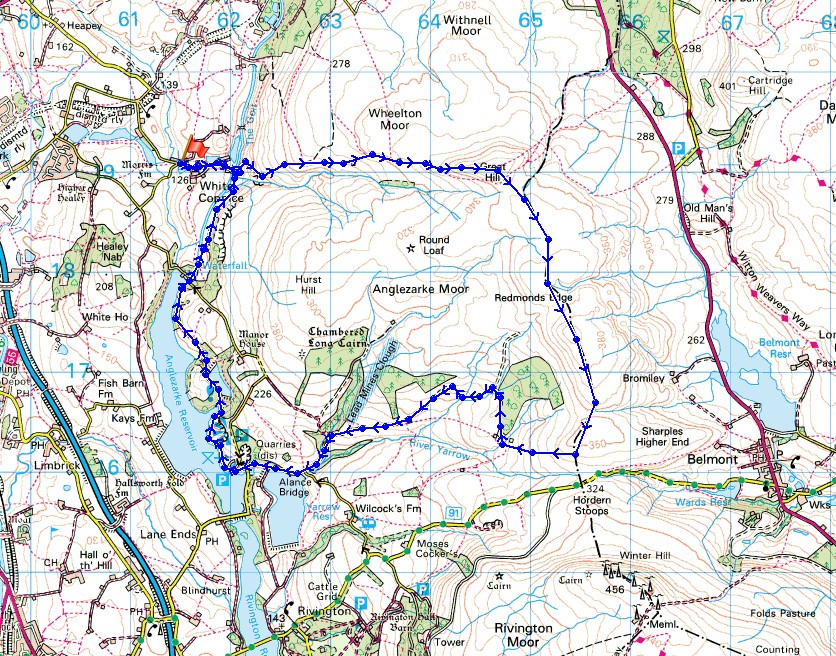
© Crown copyright. All rights reserved. License number PU 100034184.
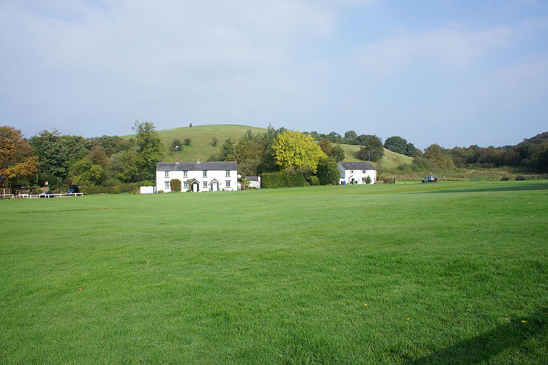
It's a sunny morning at the ground of White Coppice Cricket Club

Looking back down on White Coppice as I take the path to Great Hill
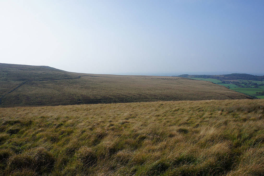
There's a lovely light on the moor this morning
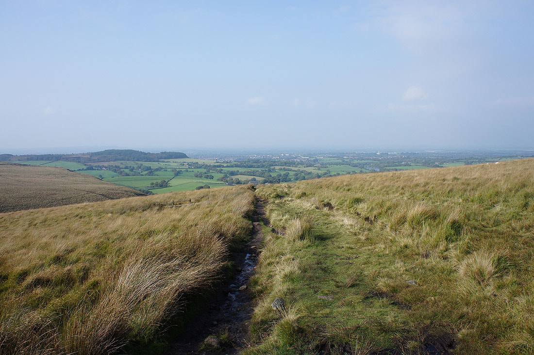
Another look back with Chorley in the distance
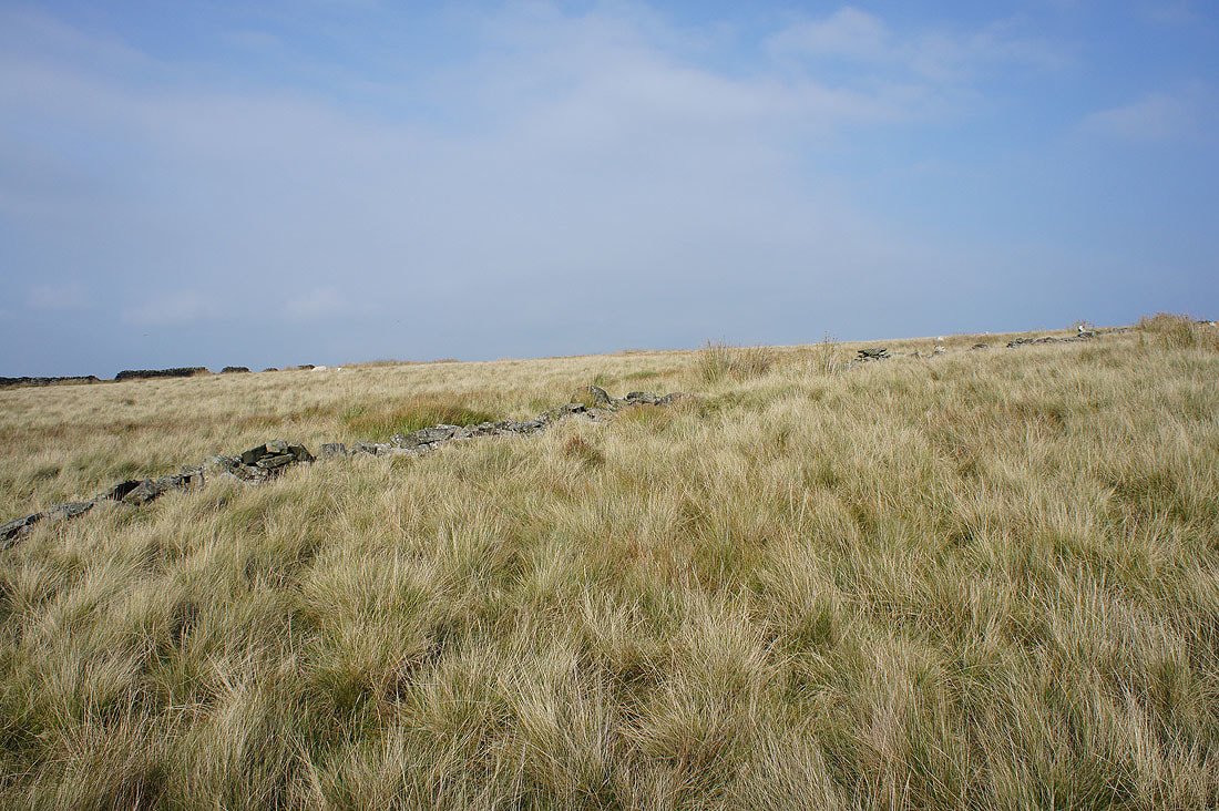
I couldn't resist taking this photo of the moorland grass with the walls running up the hillside
Great Hill is in sight
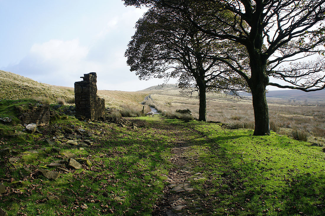
Through the ruins of Drinkwaters Farm
A last look back before I reach the summit. Unfortunately the cloud increased as I approached it.
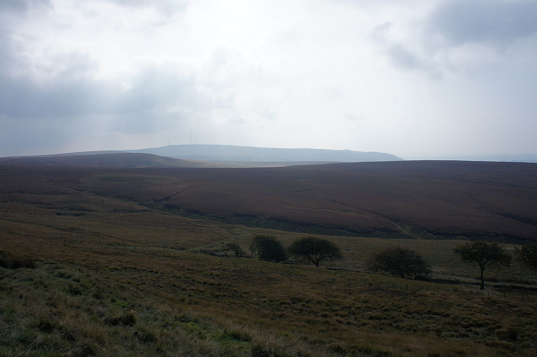
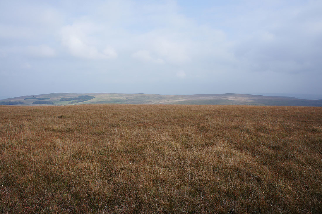
Winter Hill beyond the bulk of Anglezarke Moor from the top of Great Hill
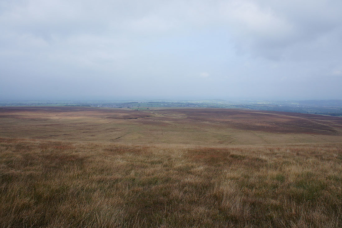
After having lunch a few photos of the view before I move on. Withnell Moor below.
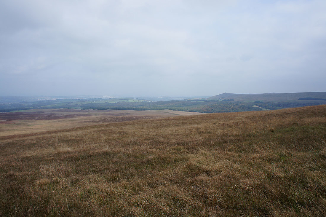
The Tockholes Plantations and Darwen Moor
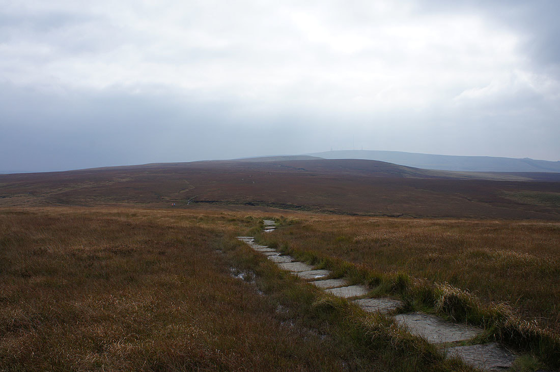
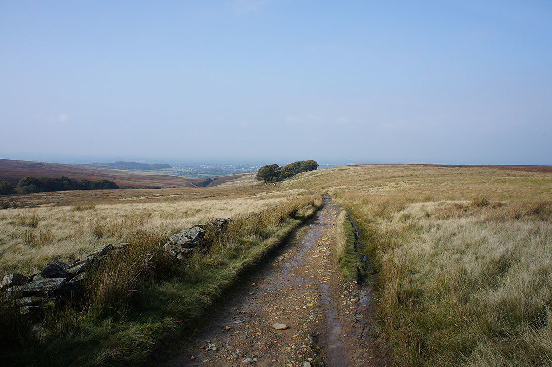
and finally, the flagged path that heads for Spitlers Edge
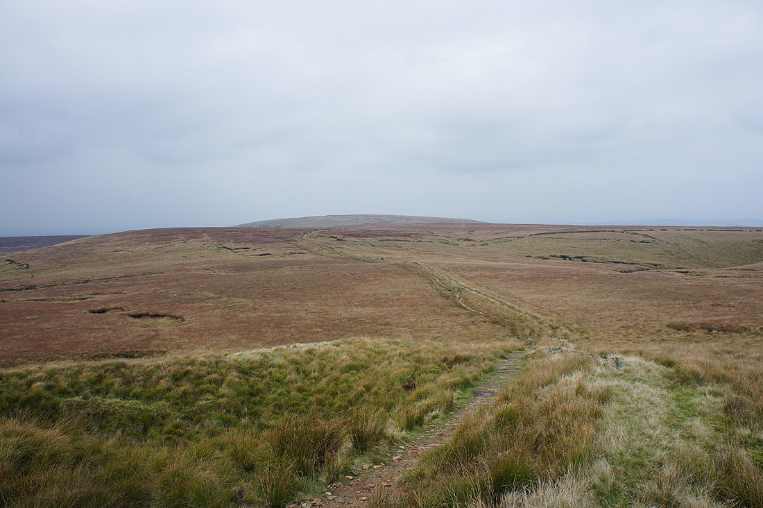
Looking back to Great Hill from Spitlers Edge
Darwen Moor and Longworth Moor
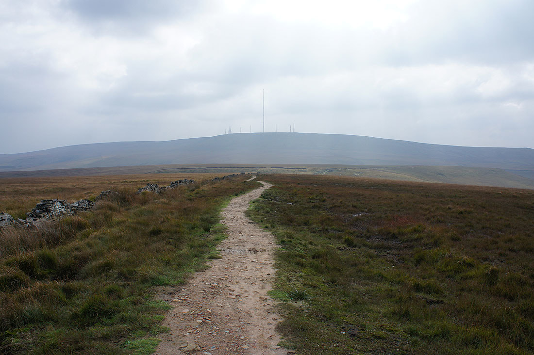
Winter Hill as I head down to Hordern Pasture
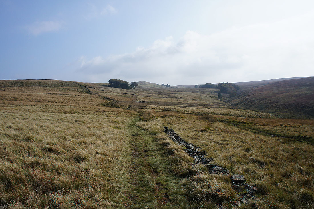
The last of the sunshine on Anglezarke Moor
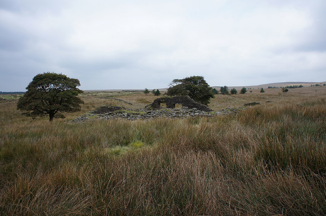
The ruins of Higher Hempshaw's
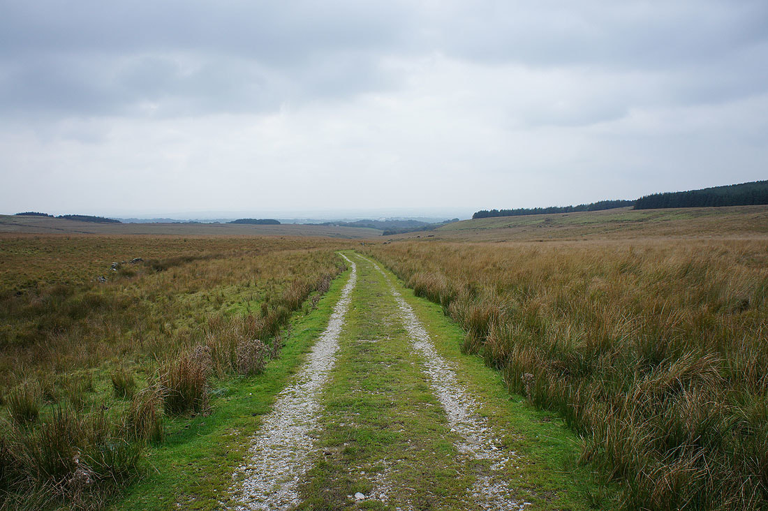
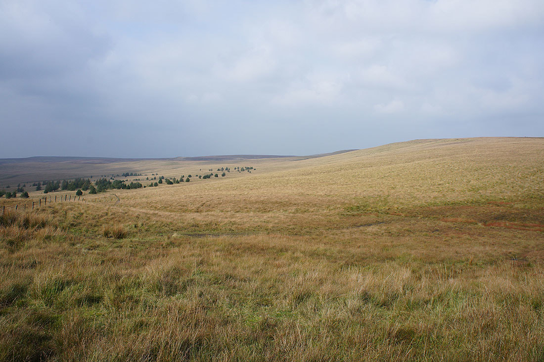
On the track to Lead Mines Clough
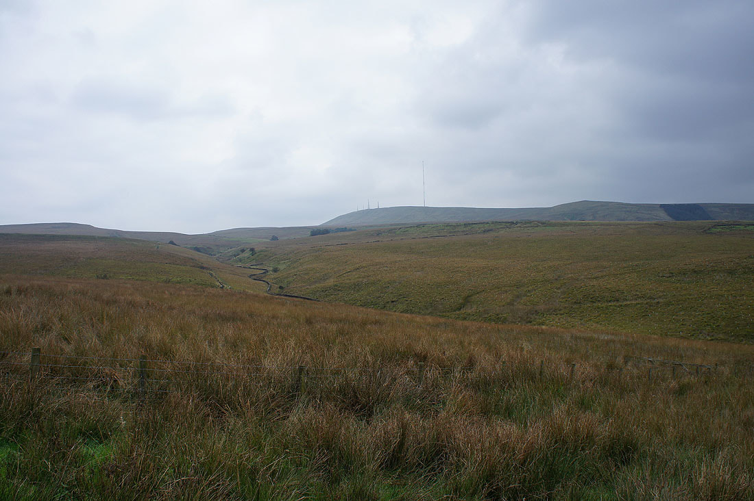
Winter Hill above the valley of the infant River Yarrow
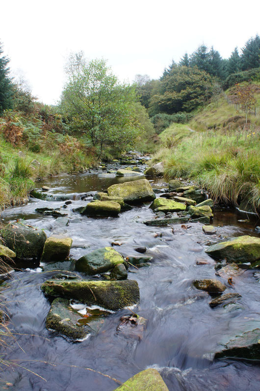
Limestone Brook in Lead Mines Clough
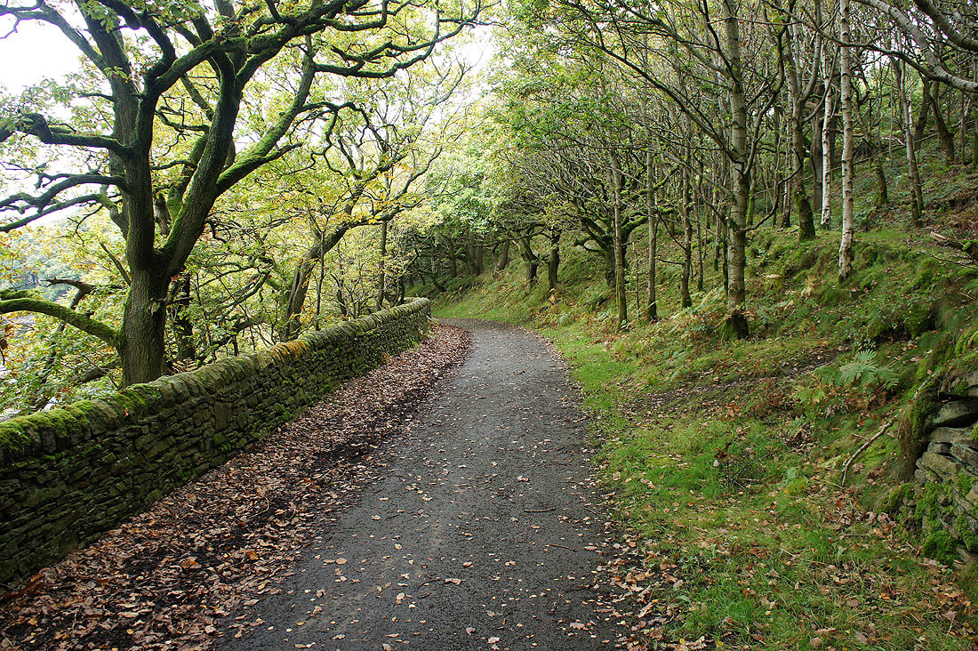
Moss covered walls and trees line the track to Alance Bridge and Yarrow Reservoir
Winter Hill from beside Yarrow Reservoir
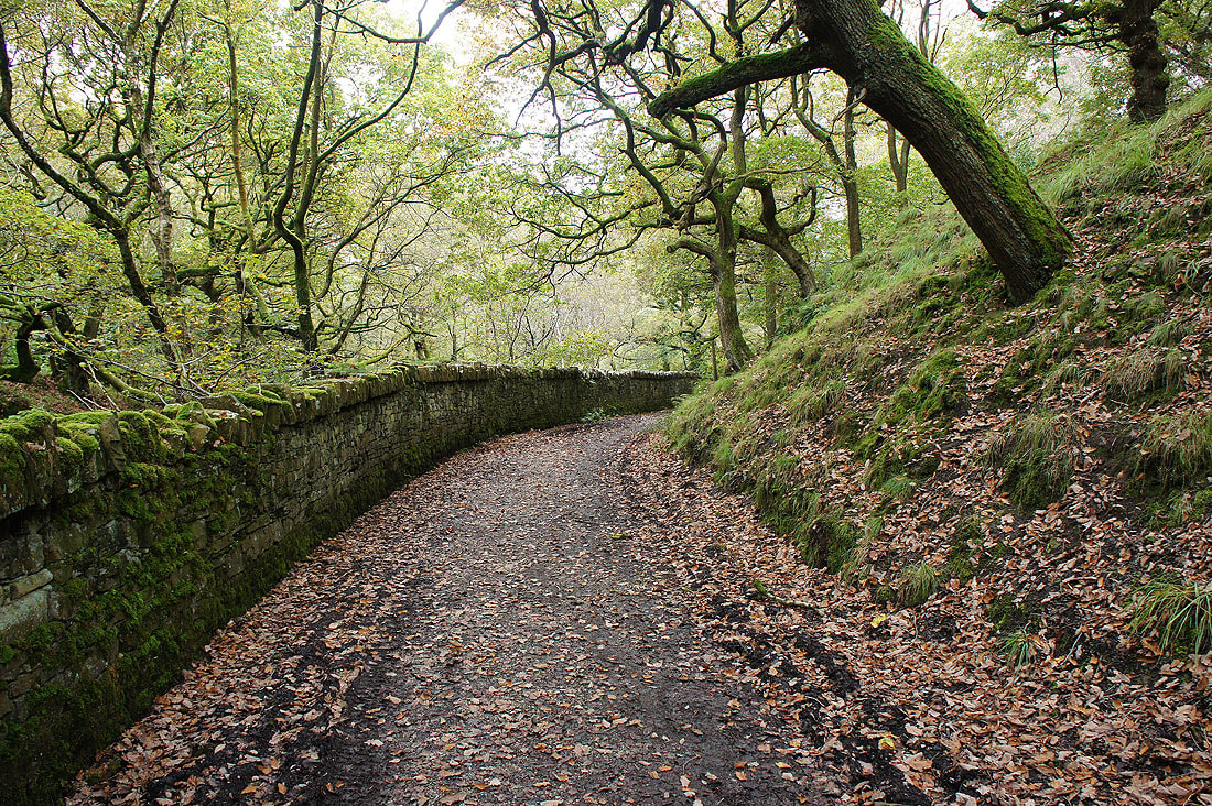
More moss covered walls and trees as I follow the track by Anglezarke Reservoir
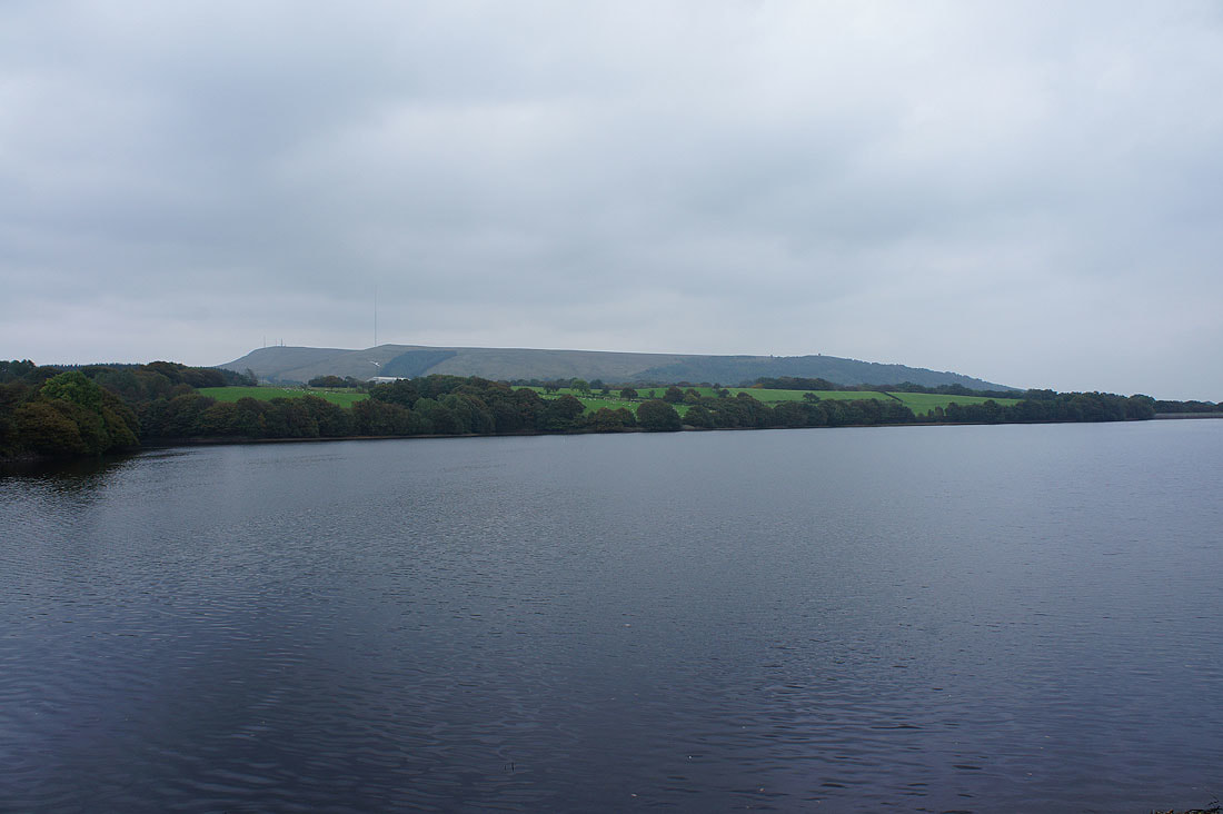
Anglezarke Reservoir
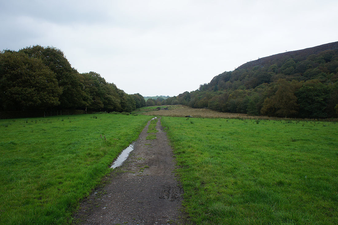
Back to White Coppice on the path beneath Stronstrey Bank