26th September 2020 - Pinhaw Beacon
Walk Details
Distance walked: 11.0 miles
Total ascent: 1441 ft
OS map used: OL21 - South Pennines
Time taken: 5.5 hrs
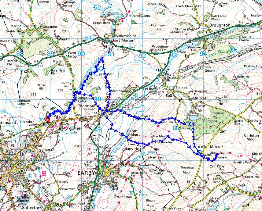
Route description: Greenberfield Locks-Leeds and Liverpool Canal-Castleber Hill-Thornton in Craven-Booth Bridge Lane-Rectory Allotment-Pennine Way-Pinhaw Beacon-Pennine Way-West Lane-Elslack Moor-Cooper House-Clogger Lane-Park House Farm-Wood House Farm-Pennine Way-Brown House Farm-Pennine Way-Thornton in Craven-Pennine Way-Leeds and Liverpool Canal-Greenberfield Locks
There's fine weather forecast for this weekend, with the best of it supposedly for tomorrow. Wanting to make the most of it I've decided to head out for a walk on both days, today close to home, and tomorrow somewhere a bit further afield. During the past few months I've ridden my bike along the towpath of the Leeds and Liverpool Canal north to the picnic site at Greenberfield Locks just north of Barnoldswick several times, so I thought it might be a good idea to work out a route for a walk that started from there. In the end I came up with one that made its way to Pinhaw Beacon, making use of the Pennine Way. After setting off with some blue skies and sunshine it soon clouded over, so that for the rest of the day it was quite grey, overcast, and cool, with just brief glimpses of the sun every now and then.
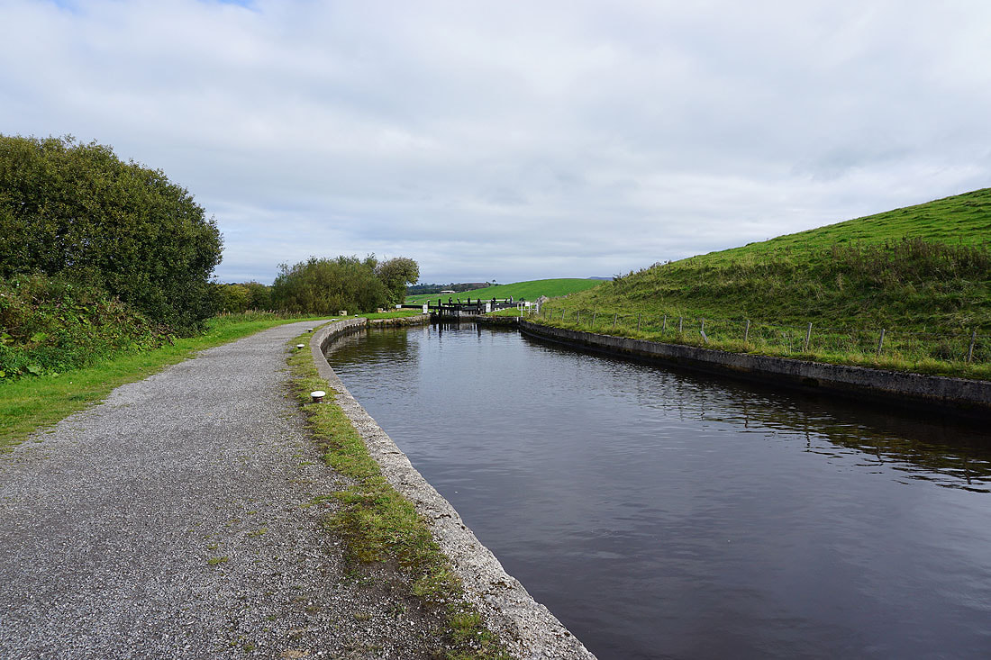
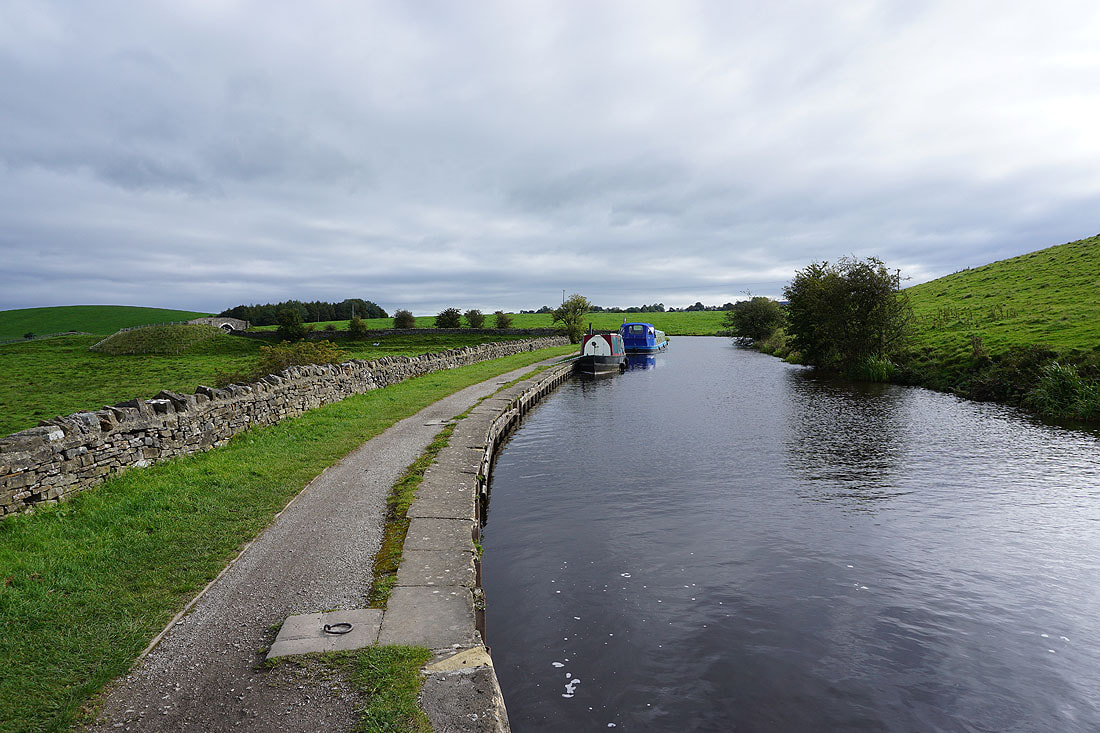
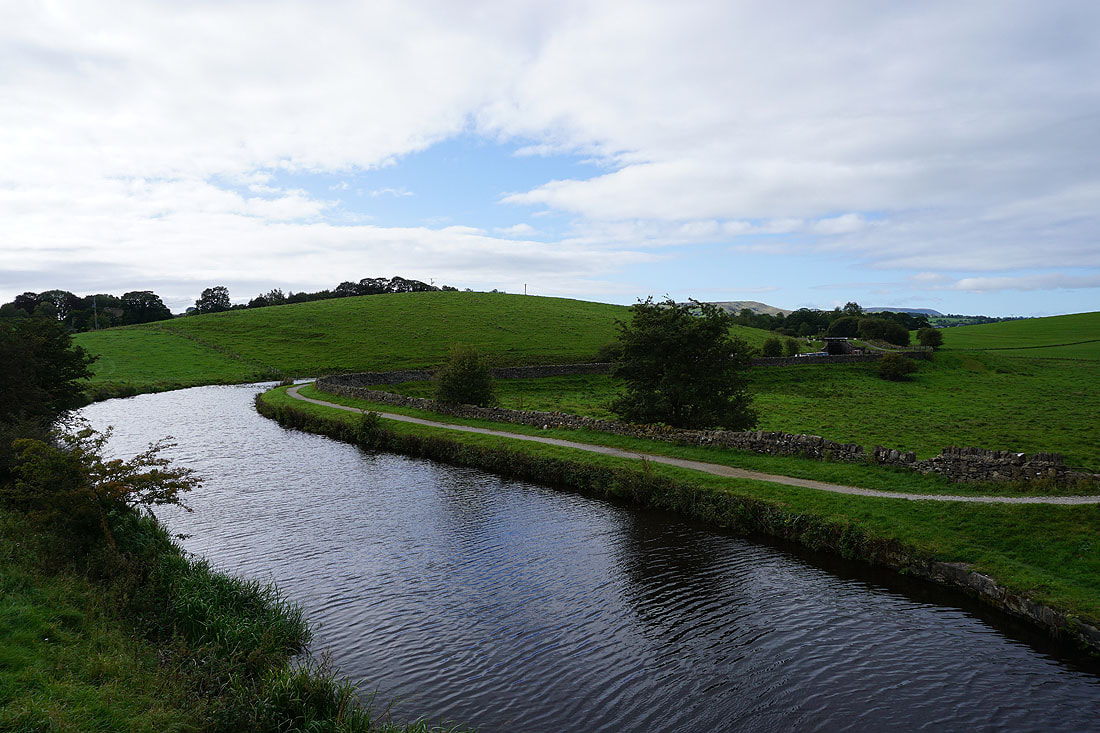
Starting from the picnic site at Greenberfield Locks I set off by following the towpath by the Leeds and Liverpool Canal north to South Field Bridge. Just past here and at a left hand turn on the canal, I took a footpath on the right through a gate, up and over Castleber Hill and up to the village of Thornton-in-Craven. After crossing the A56 I walked down Booth Bridge Lane to the hamlet of Booth Bridge, where I took a bridleway uphill onto Rectory Allotment to meet the Pennine Way where it joins Clogger Lane. I then walked up Clogger Lane to its junction with West Lane, crossed the road, and followed the Pennine Way up to the summit of Pinhaw Beacon. After a stop for lunch and to take in the view I returned to West Lane by the Pennine Way, crossed the road and walked a short distance to the right to pick up a footpath down Elslack Moor to the plantations above Elslack Reservoir. When I reached a track I turned left and followed it west and onto a footpath to Clogger Lane, which I crossed and took the footpath opposite across the hillside past Park House Farm and Wood House Farm. Just past Wood House Farm I joined the Pennine Way, which I followed down to Thorton-in-Craven, and then north to reach the Leeds and Liverpool Canal. A walk south along the towpath took me back to the picnic site at Greenberfield Locks.
Total ascent: 1441 ft
OS map used: OL21 - South Pennines
Time taken: 5.5 hrs
Route description: Greenberfield Locks-Leeds and Liverpool Canal-Castleber Hill-Thornton in Craven-Booth Bridge Lane-Rectory Allotment-Pennine Way-Pinhaw Beacon-Pennine Way-West Lane-Elslack Moor-Cooper House-Clogger Lane-Park House Farm-Wood House Farm-Pennine Way-Brown House Farm-Pennine Way-Thornton in Craven-Pennine Way-Leeds and Liverpool Canal-Greenberfield Locks
There's fine weather forecast for this weekend, with the best of it supposedly for tomorrow. Wanting to make the most of it I've decided to head out for a walk on both days, today close to home, and tomorrow somewhere a bit further afield. During the past few months I've ridden my bike along the towpath of the Leeds and Liverpool Canal north to the picnic site at Greenberfield Locks just north of Barnoldswick several times, so I thought it might be a good idea to work out a route for a walk that started from there. In the end I came up with one that made its way to Pinhaw Beacon, making use of the Pennine Way. After setting off with some blue skies and sunshine it soon clouded over, so that for the rest of the day it was quite grey, overcast, and cool, with just brief glimpses of the sun every now and then.
Starting from the picnic site at Greenberfield Locks I set off by following the towpath by the Leeds and Liverpool Canal north to South Field Bridge. Just past here and at a left hand turn on the canal, I took a footpath on the right through a gate, up and over Castleber Hill and up to the village of Thornton-in-Craven. After crossing the A56 I walked down Booth Bridge Lane to the hamlet of Booth Bridge, where I took a bridleway uphill onto Rectory Allotment to meet the Pennine Way where it joins Clogger Lane. I then walked up Clogger Lane to its junction with West Lane, crossed the road, and followed the Pennine Way up to the summit of Pinhaw Beacon. After a stop for lunch and to take in the view I returned to West Lane by the Pennine Way, crossed the road and walked a short distance to the right to pick up a footpath down Elslack Moor to the plantations above Elslack Reservoir. When I reached a track I turned left and followed it west and onto a footpath to Clogger Lane, which I crossed and took the footpath opposite across the hillside past Park House Farm and Wood House Farm. Just past Wood House Farm I joined the Pennine Way, which I followed down to Thorton-in-Craven, and then north to reach the Leeds and Liverpool Canal. A walk south along the towpath took me back to the picnic site at Greenberfield Locks.
Route map
© Crown copyright. All rights reserved. License number PU 100034184.
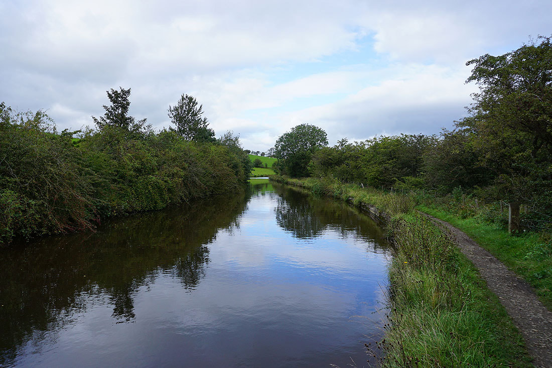
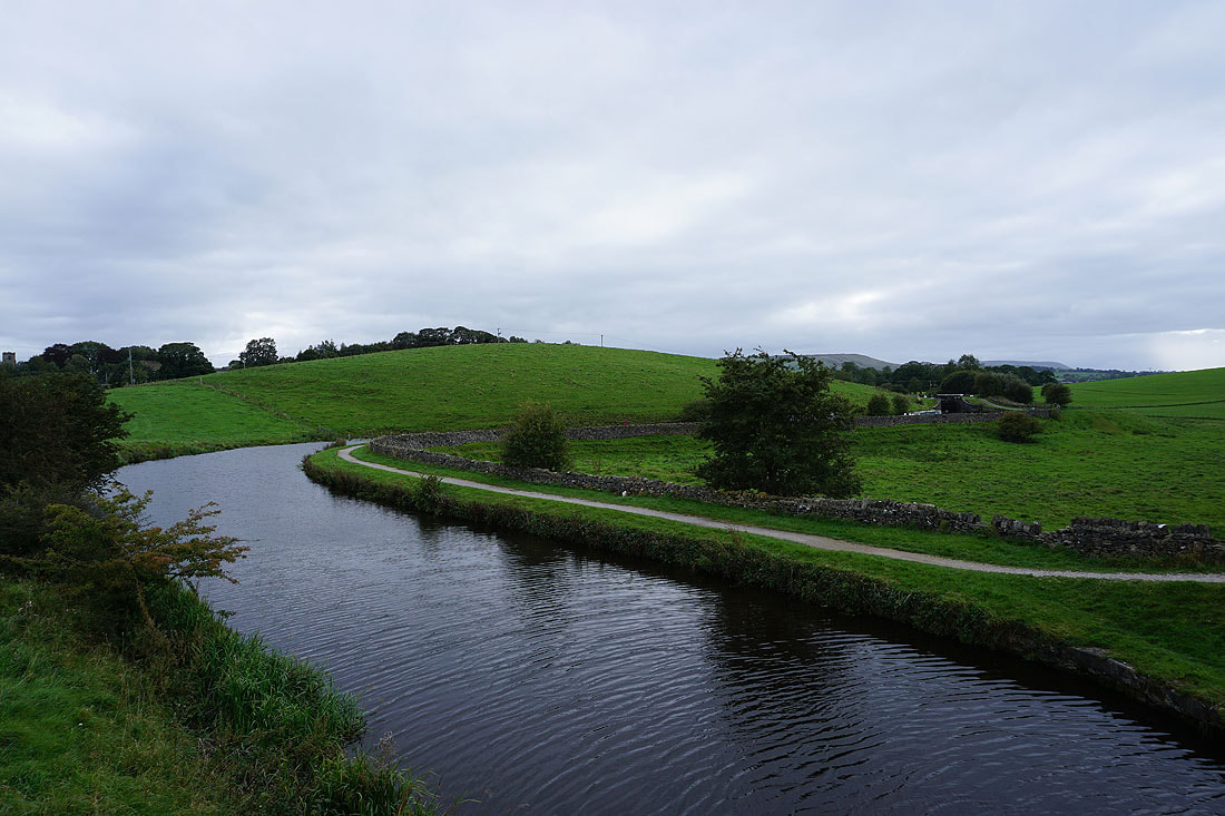
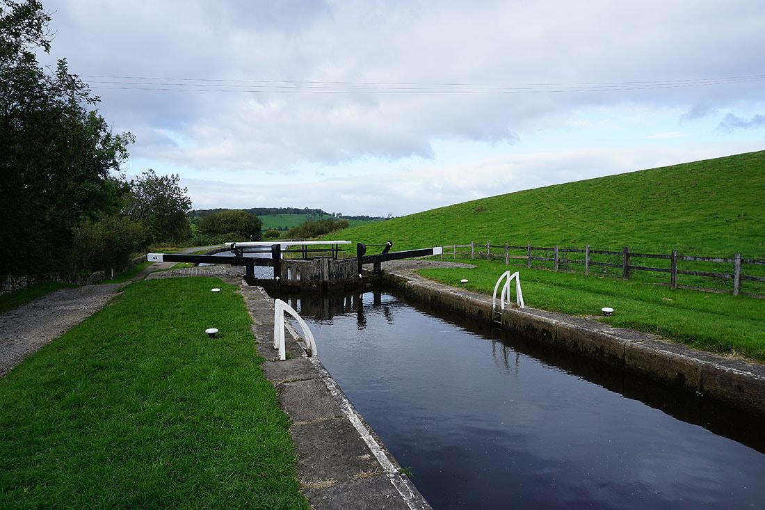
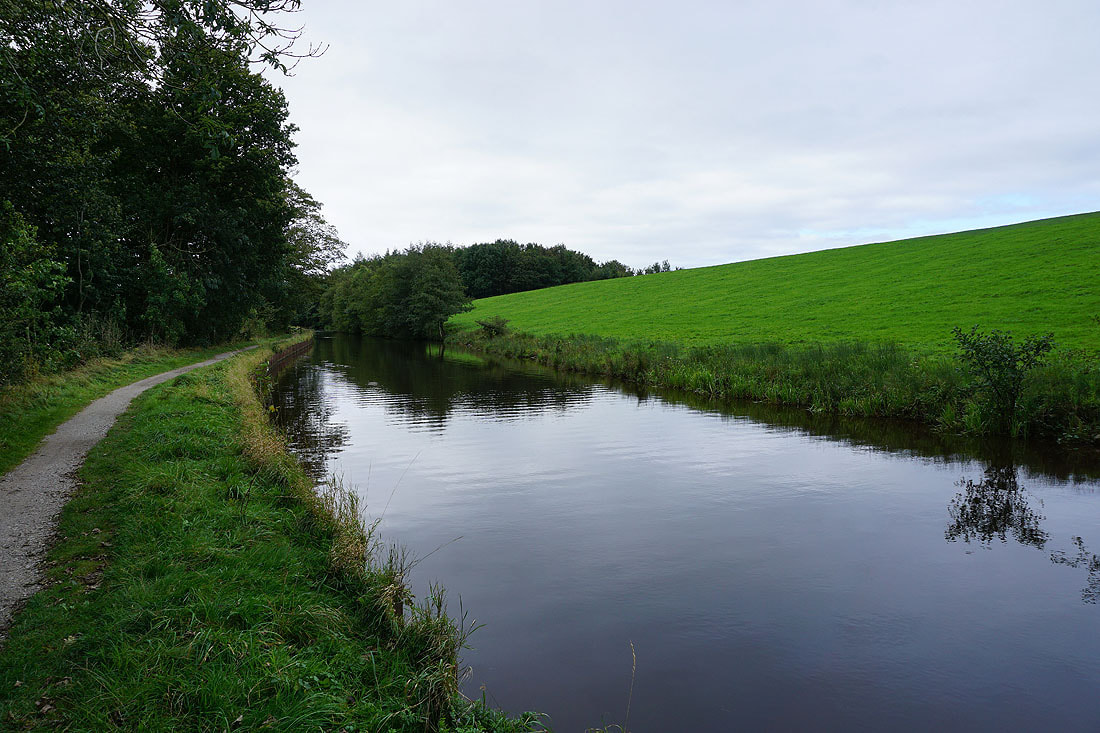
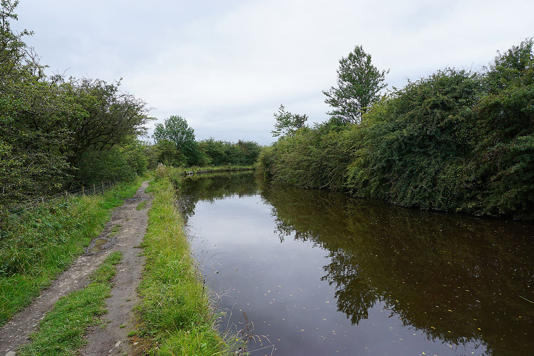
The Leeds and Liverpool Canal at Greenberfield Locks...
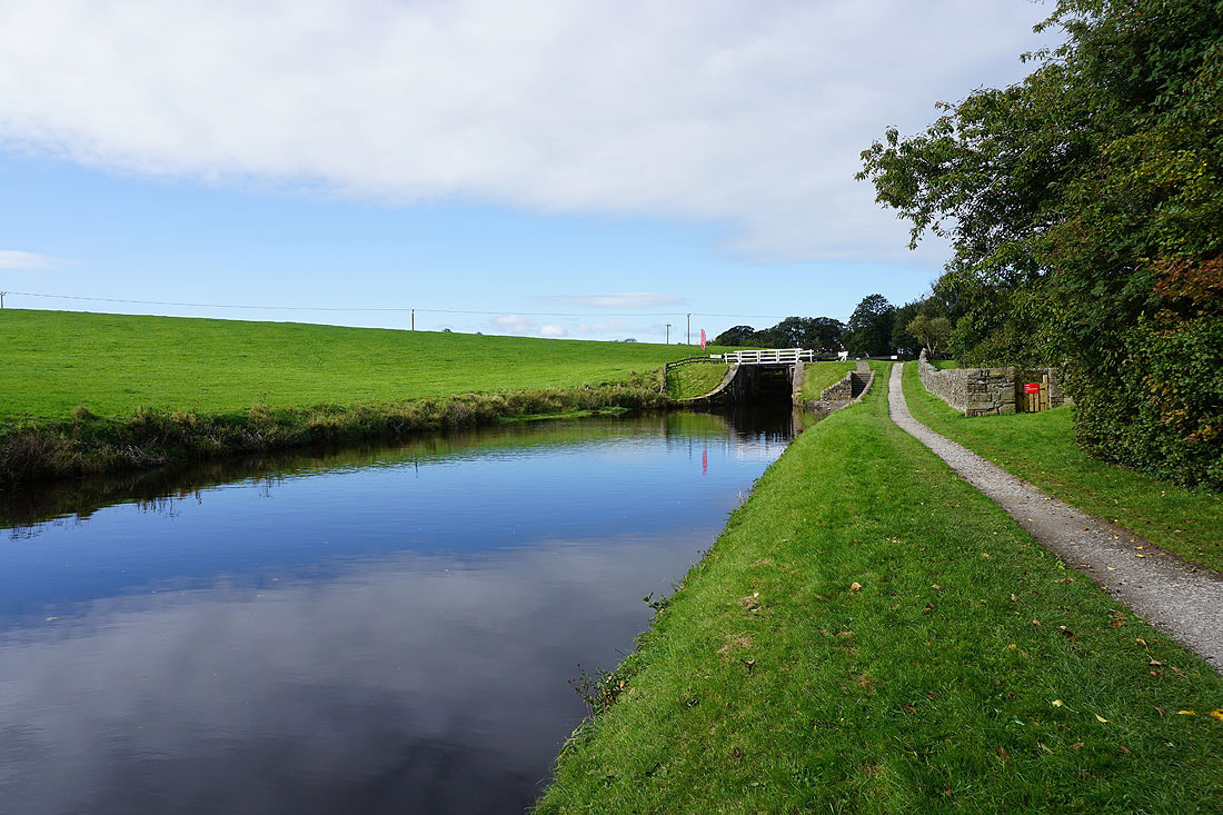
Following the towpath north to South Field Bridge.....
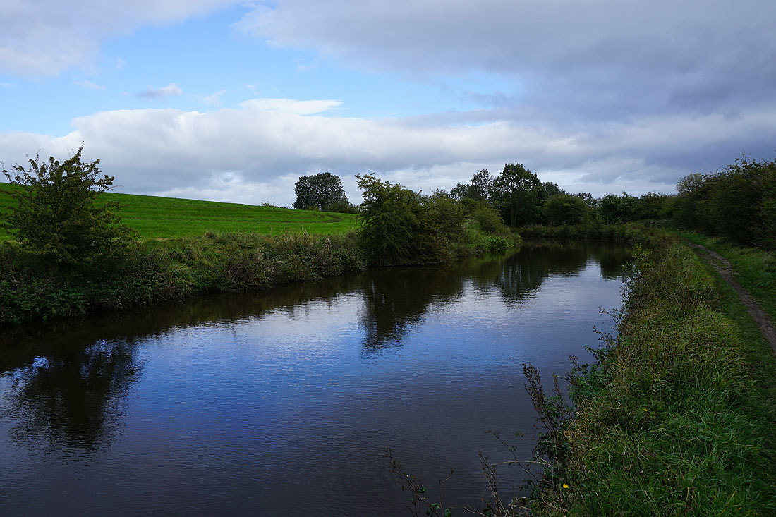
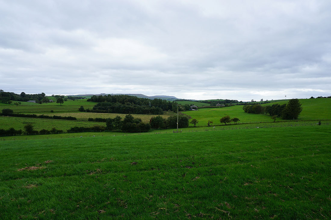
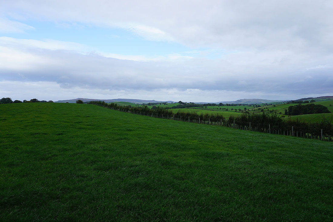
Weets Hill and Pendle Hill in the distance as the canal is left behind and I head up Castleber Hill
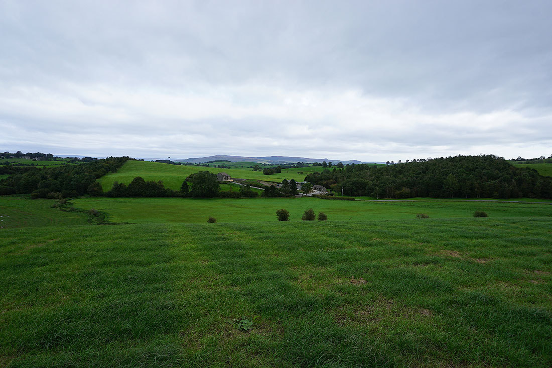
Barden Fell in the distance to the north
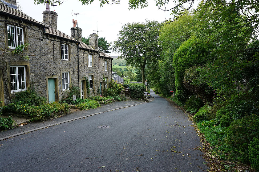
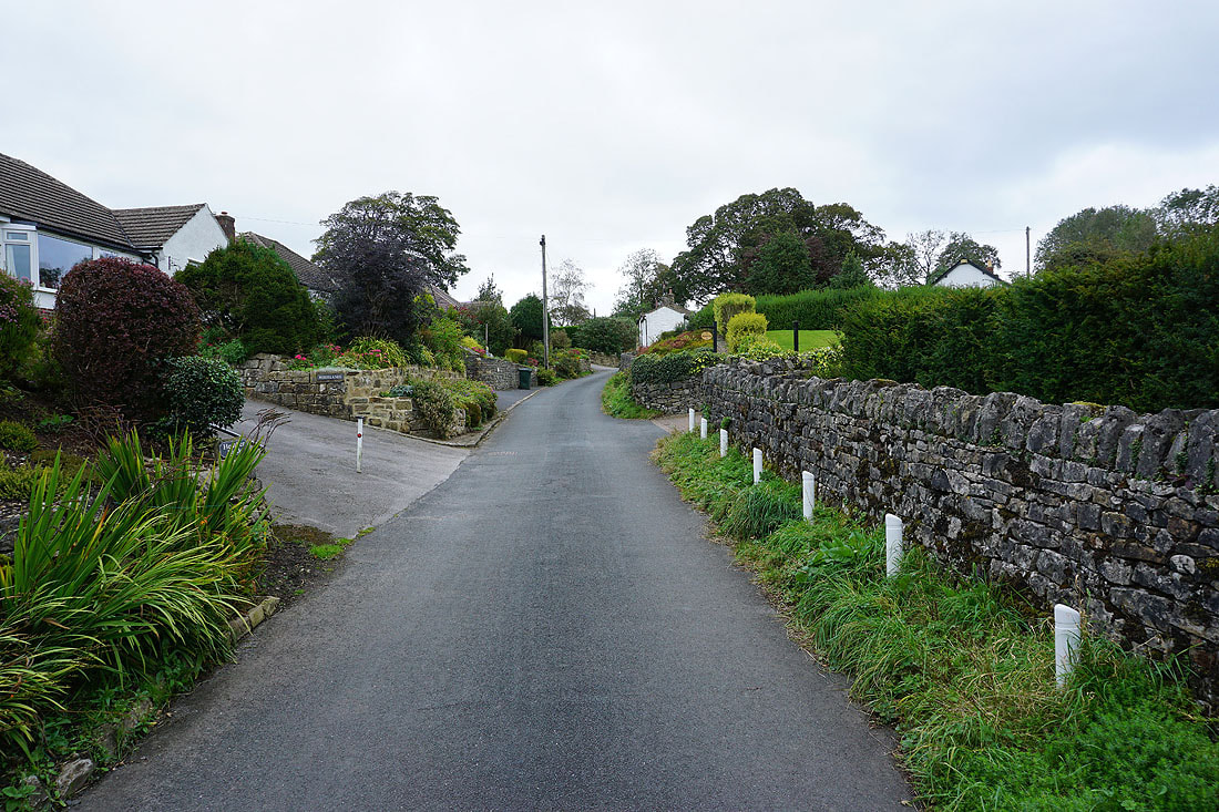
Heading down Booth Bridge Lane in Thornton-in-Craven
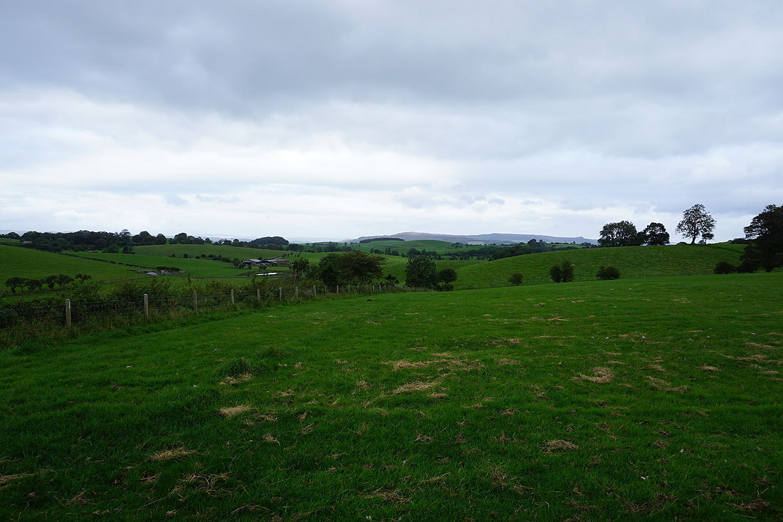
Looking back to Weets Hill and the Forest of Bowland in the distance from the footpath and bridleway up onto Rectory Allotment from the end of Booth Bridge Lane..
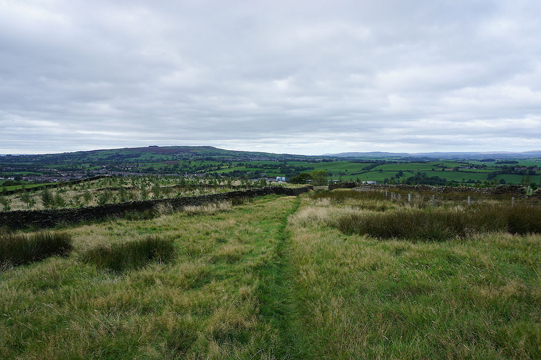
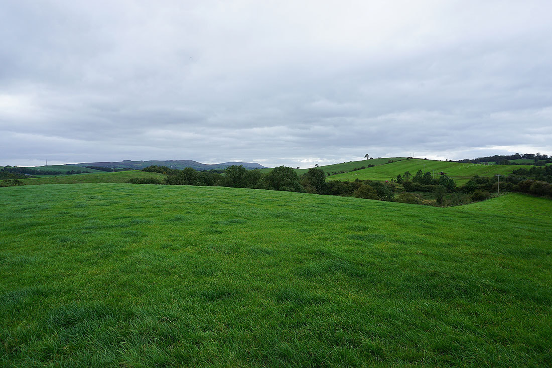
Thornton Moor from Rectory Allotment
Ingleborough and the moors above Settle and Malham in the distance to the north
The top of Pendle Hill above Weets Hill, and the Forest of Bowland from Rectory Allotment
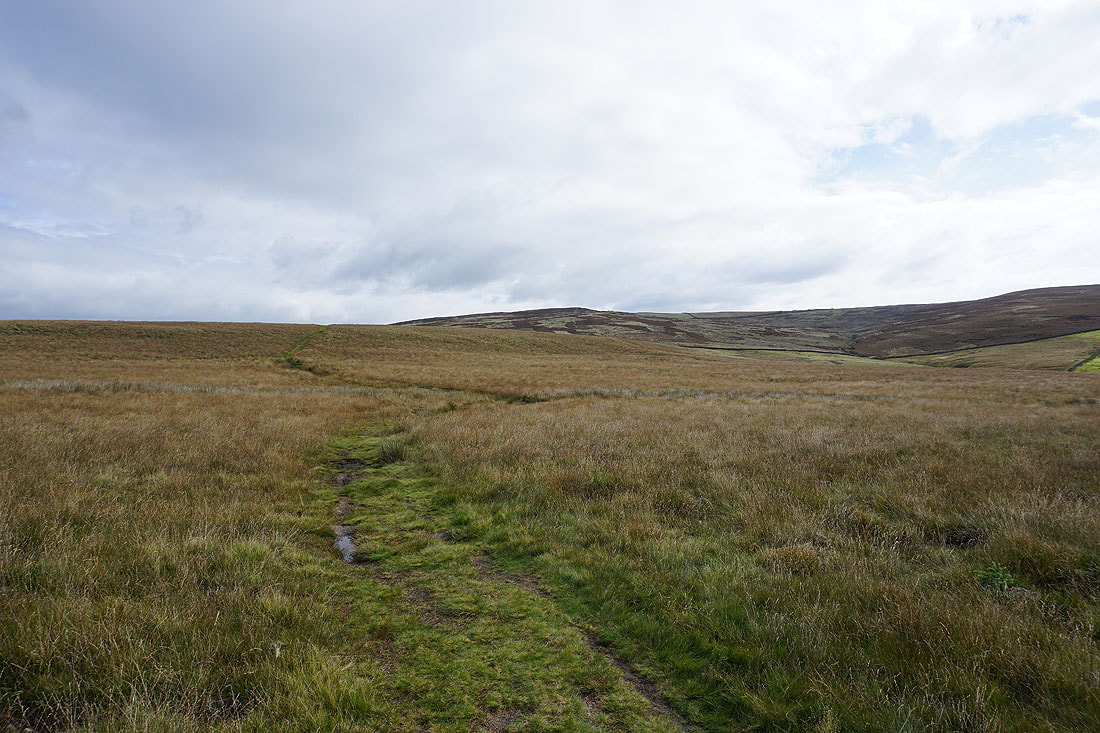
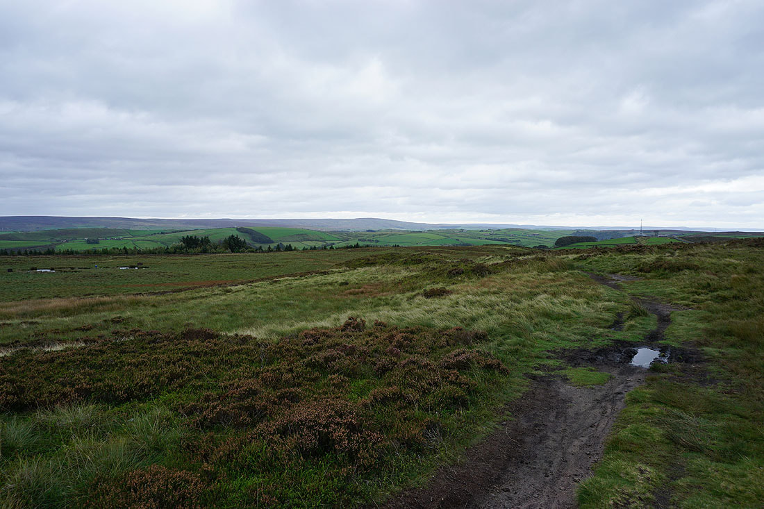
Ingleborough and the moors above Settle and Malham as I join the Pennine Way on Clogger Lane
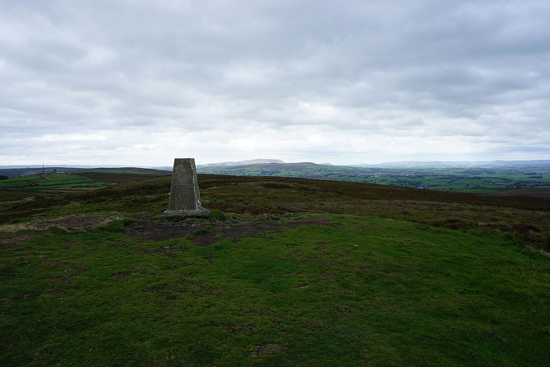
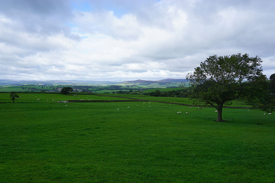
Pendle Hill and Weets Hill from the trig point on Pinhaw Beacon
Ingleborough, Rye Loaf Hill and Fountains Fell to the north
Along with Buckden Pike, Great Whernside and Barden Moor
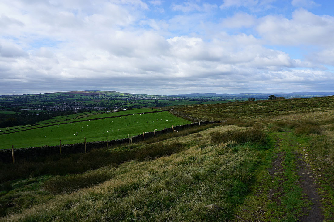
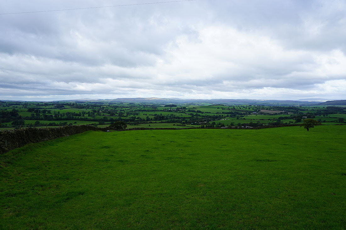
Addingham High Moor and Steeton Moor in the distance
The moors around Lothersdale with Boulsworth Hill in the distance
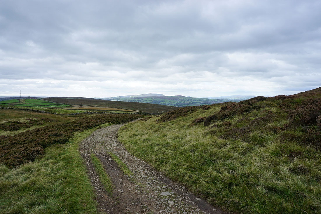
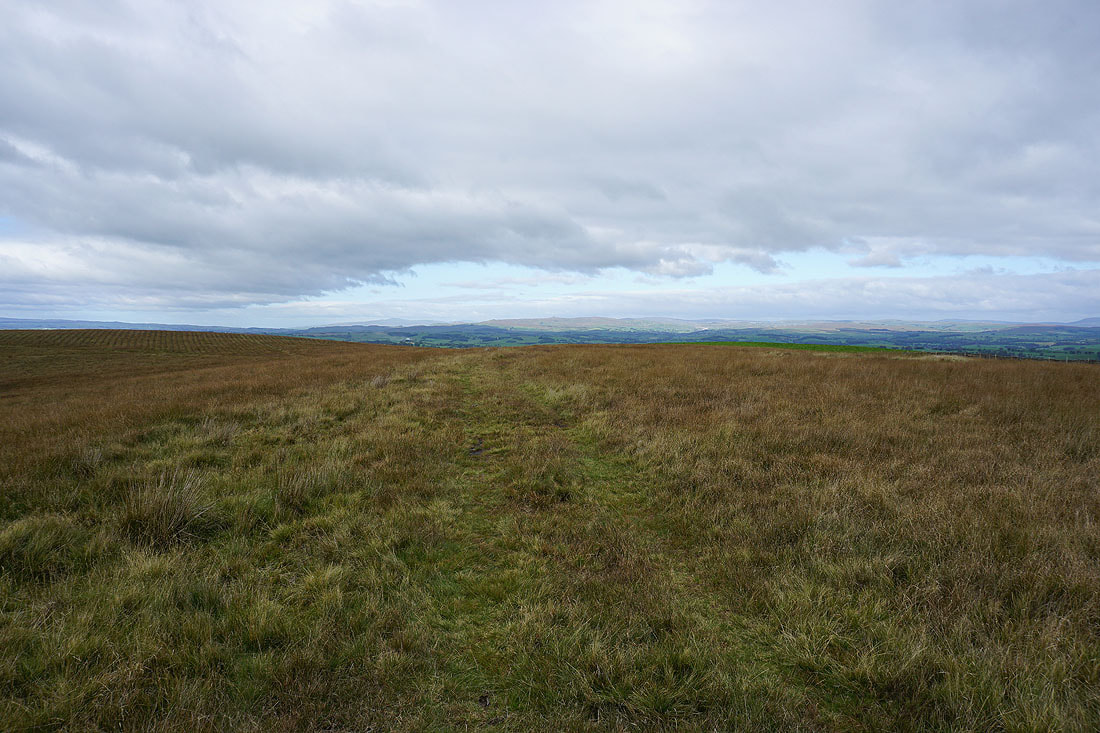
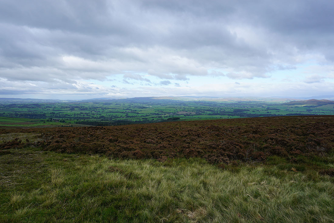
Pendle Hill as I follow the Pennine Way back to West Road
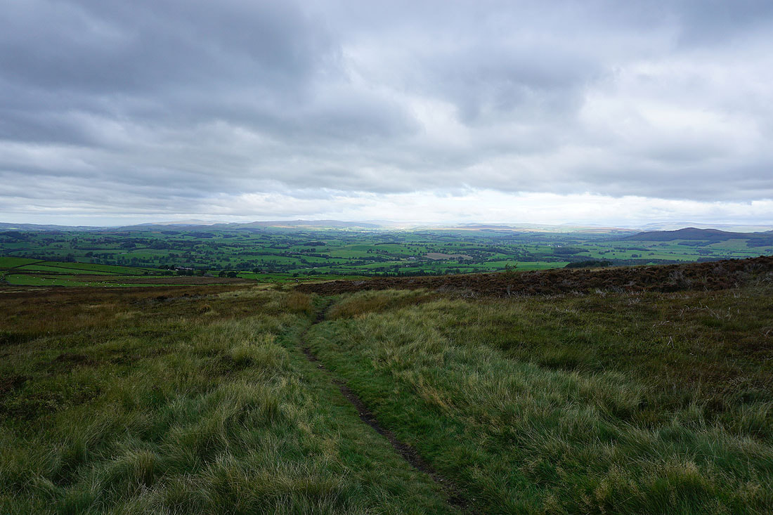
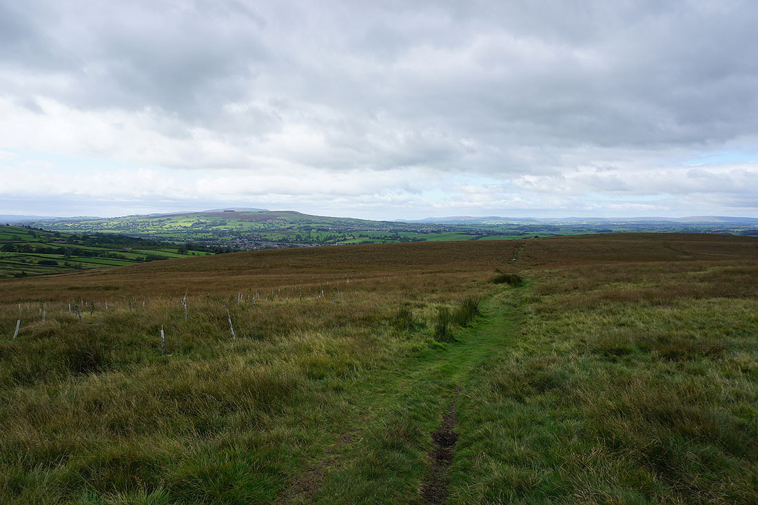
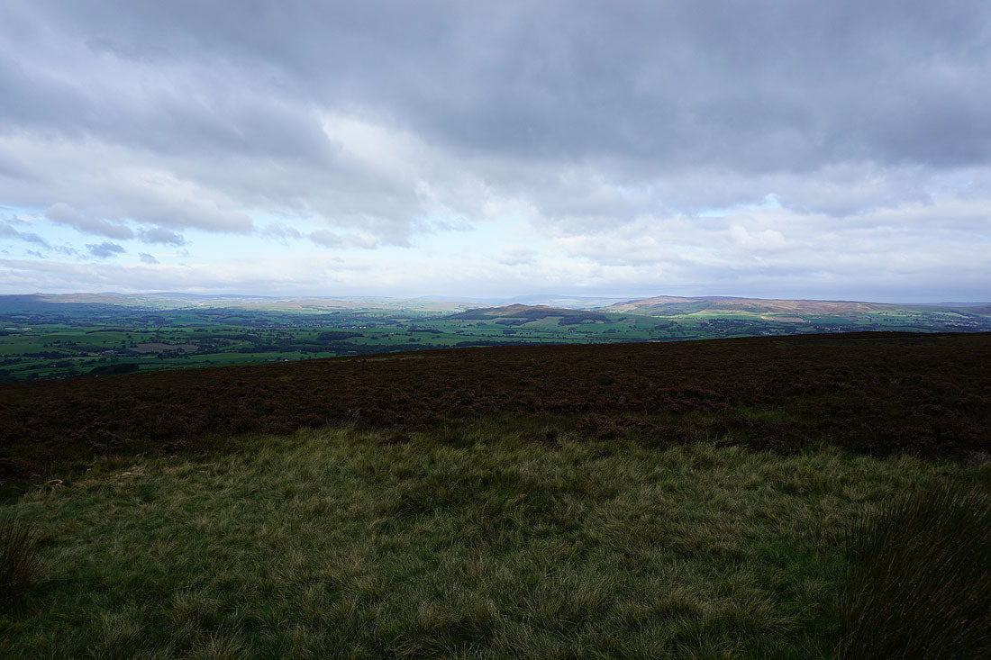
Ingleborough, Rye Loaf Hill, Fountains Fell, and the moors between Malhamdale and Wharfedale from the footpath down Elslack Moor
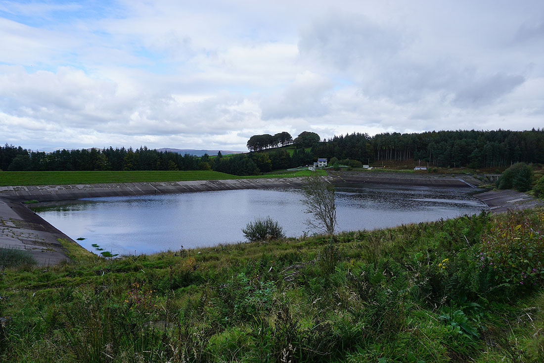
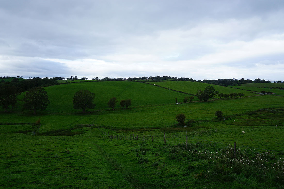
Elslack Reservoir
Threshfield Moor and Sharp Haw..
..along with Ingleborough, Rye Loaf Hill, Fountains Fell and the moors between Malhamdale and Wharfedale as I follow the footpath from Clogger Lane to Wood House Farm
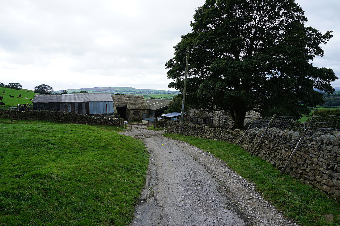
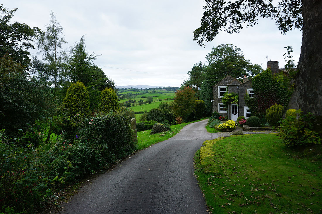
Wood House Farm. The footpath goes around it on the left.
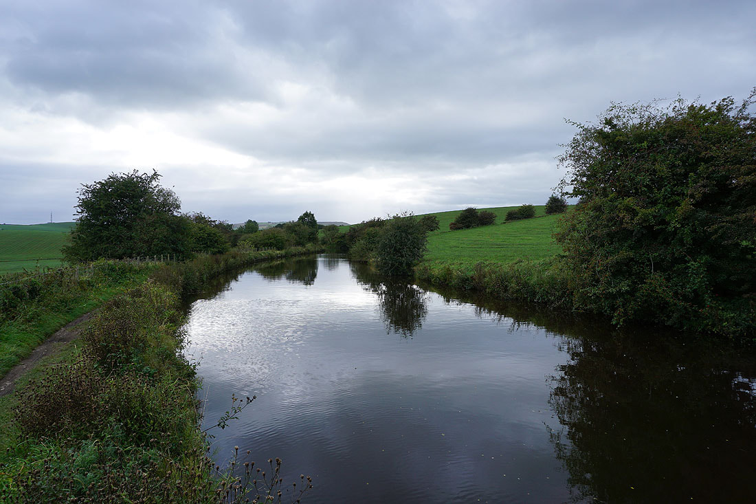
On the Pennine Way to Thornton-in-Craven
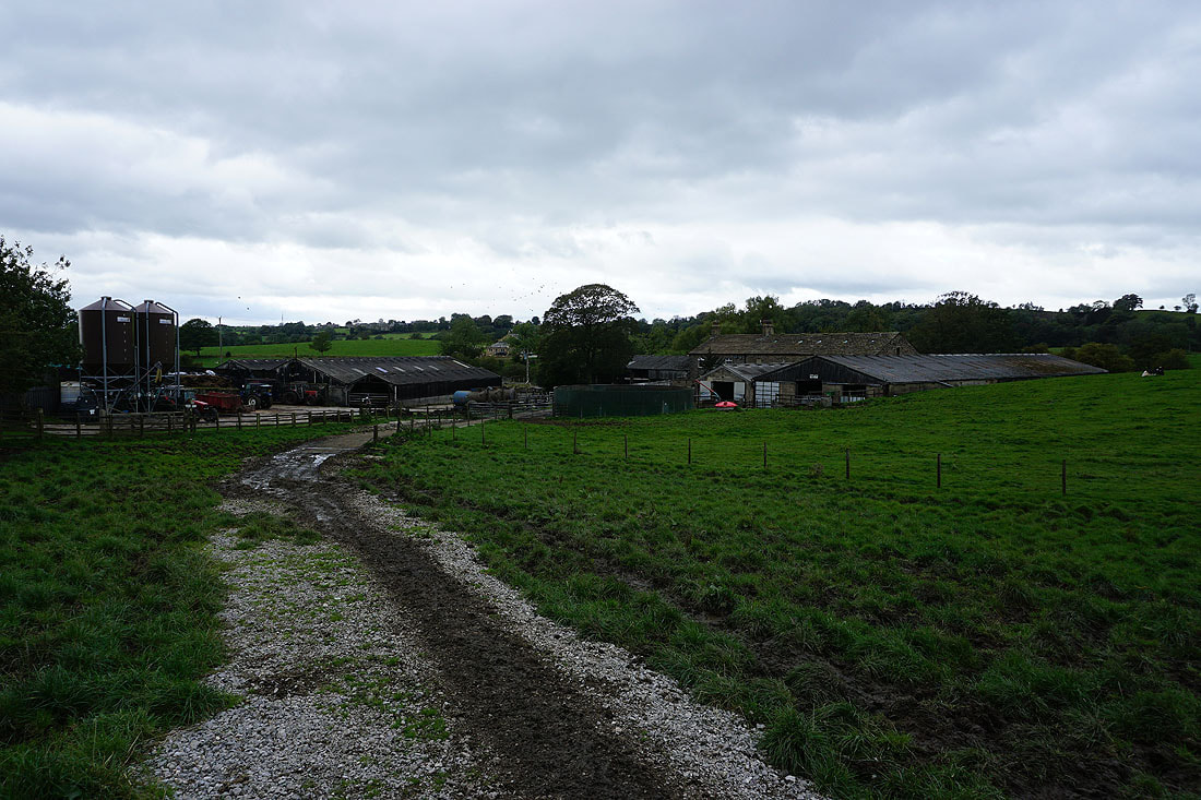
Brown House Farm
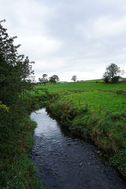
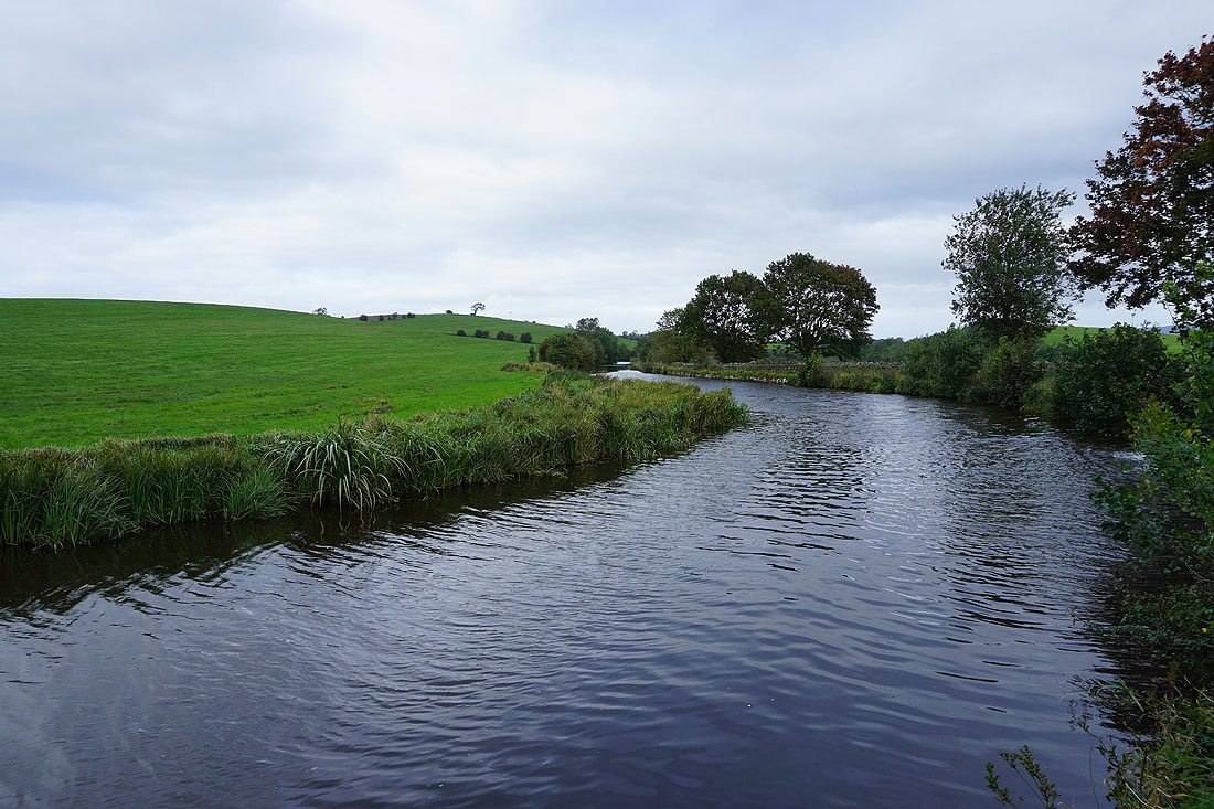
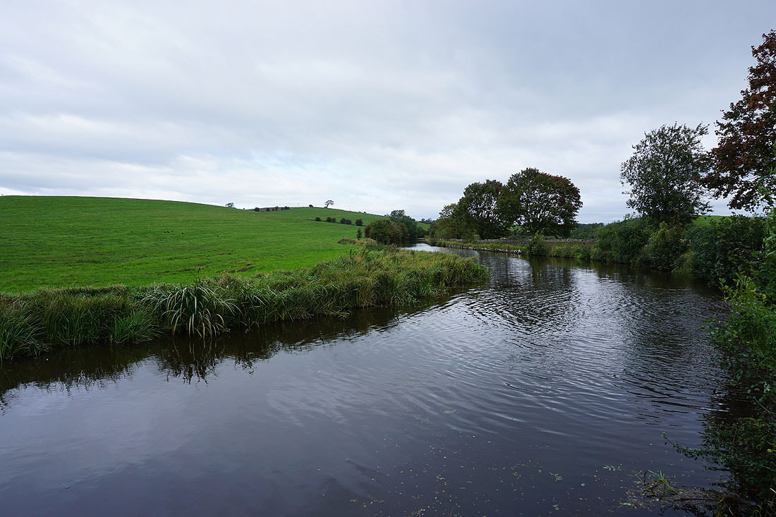
Brown House Beck
|
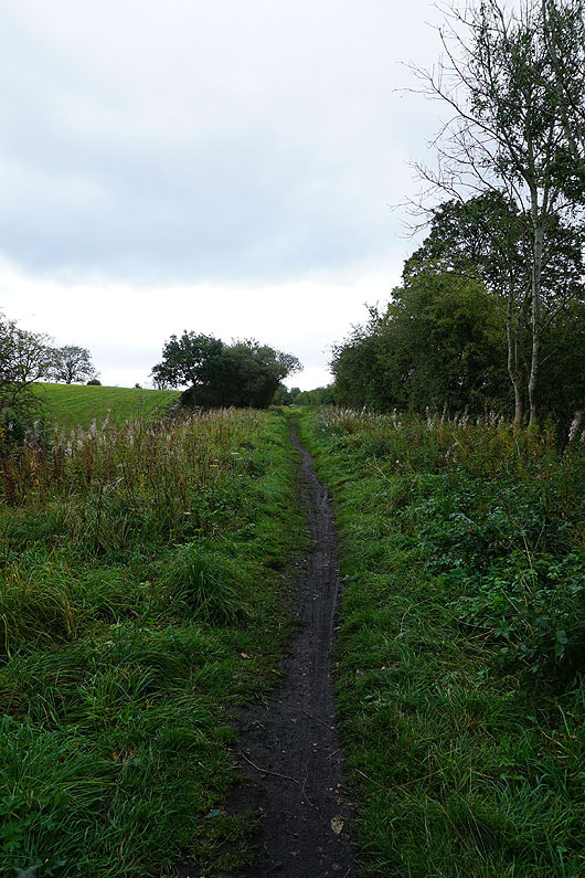
A footpath along the line of the former Colne to Skipton railway
|
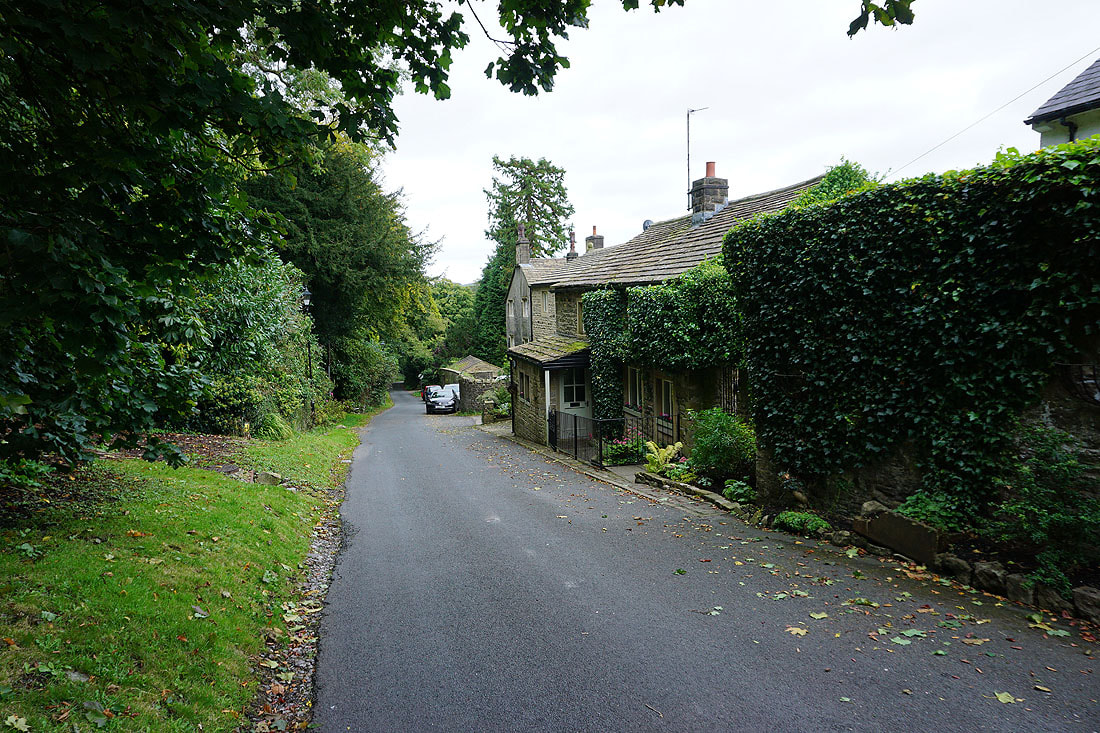
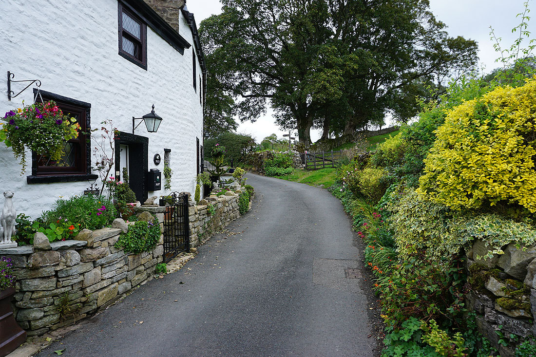
On the Pennine Way on Old Road in Thornton-in-Craven
After crossing the A56 I follow the Pennine Way up Cam Lane...
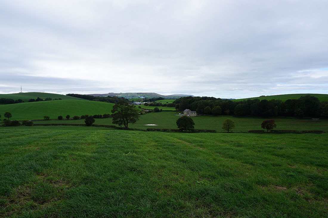
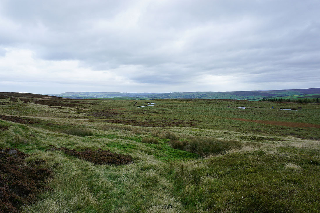
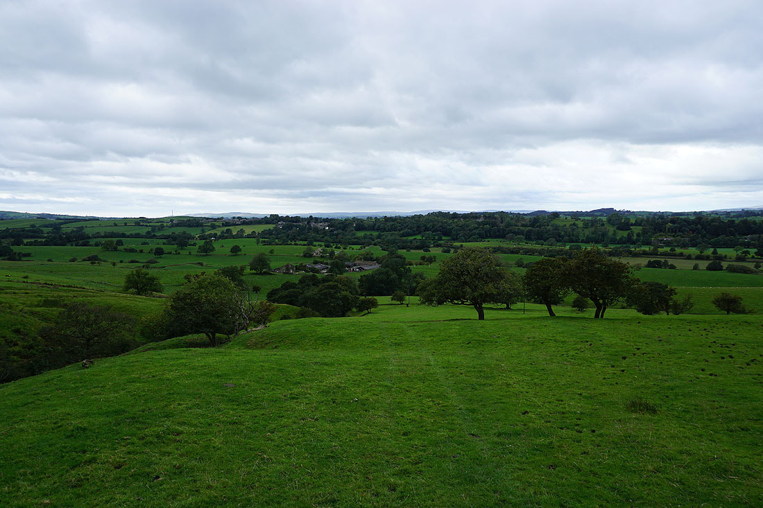
From the end of Cam Lane to the Leeds and Liverpool Canal I pass through an area of low rounded hills
The tops of Weets Hill and Pendle Hill in the distance
Along with those of Sharp Haw and Barden Moor
Heading down to cross Langber Beck and climb Langber Hill
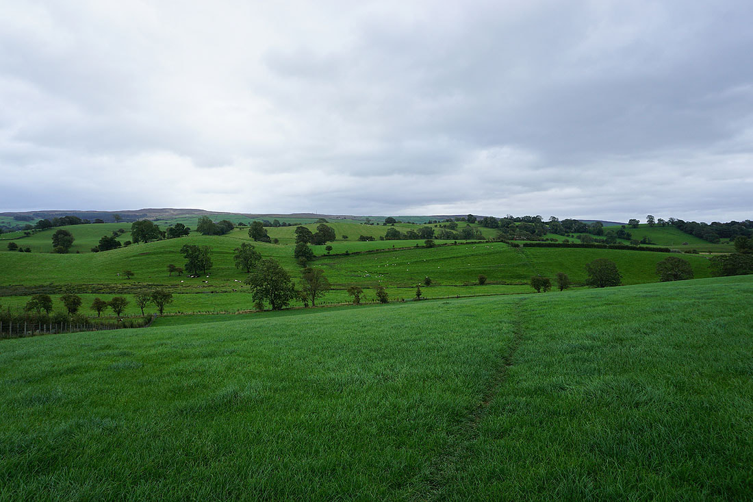
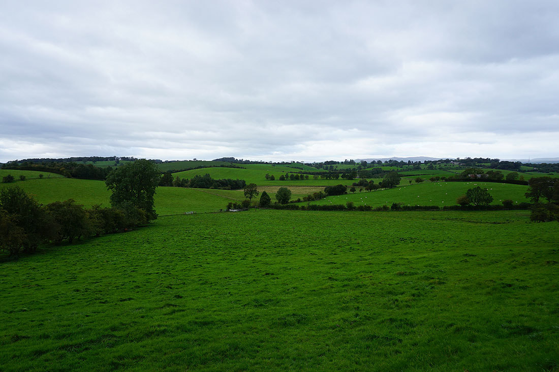
Looking back from Langber Hill across the countryside I've just walked through from Thornton-in-Craven
Barden Moor and Skipton Moor from Langber Hill
Weets Hill, Pendle Hill and the nearby Bell Flat Hill
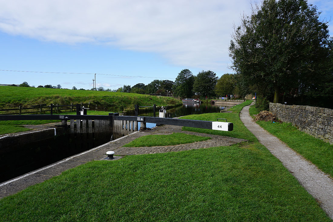
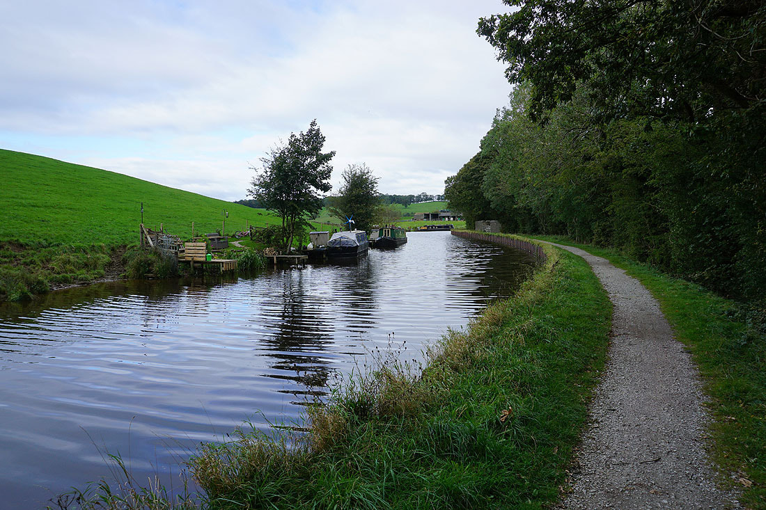
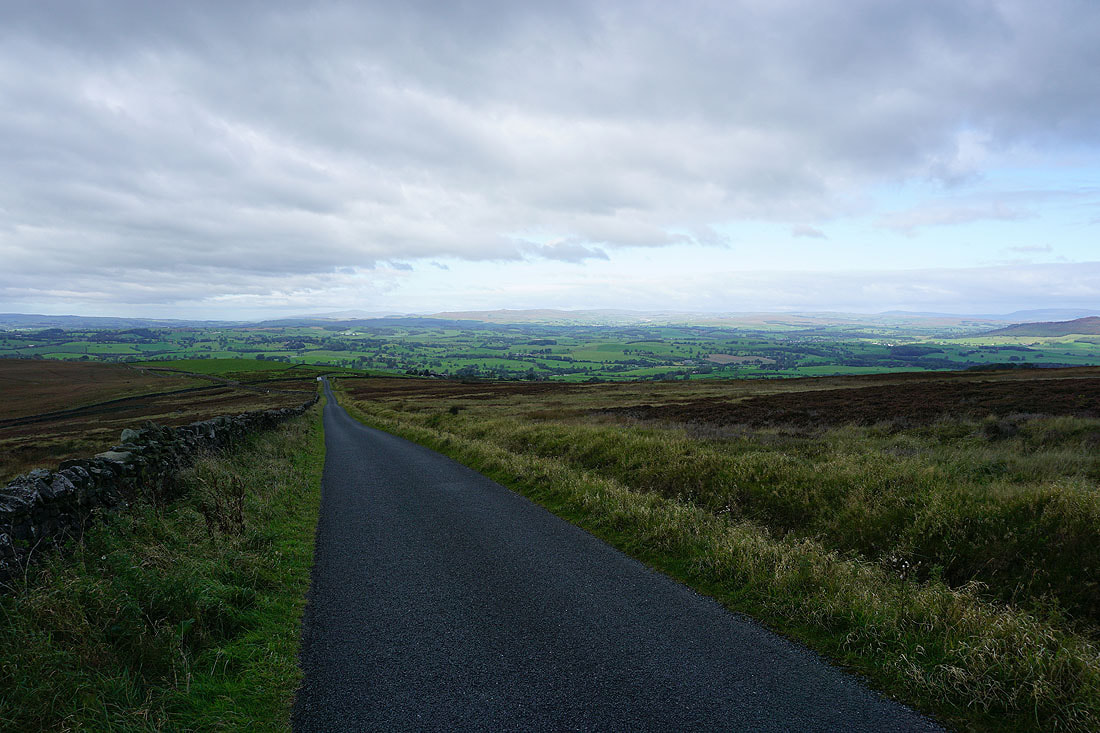
Back by the Leeds and Liverpool Canal and a walk along the towpath back to Greenberfield Locks.......